|
Proper Municipality Name |
Photo Description |
Photo |
|
Pictures taken
from driver's perspective appear offset from centre-line pictures: |
East-
bound |
West-
bound |
|
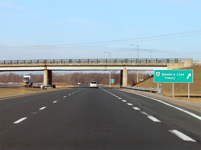
Continued from
Windsor to Chatham Pictures |
|
Highway 77 runs south of Highway
401 to Highway 3 at Leamington.
Click here for Highway 77 images. |
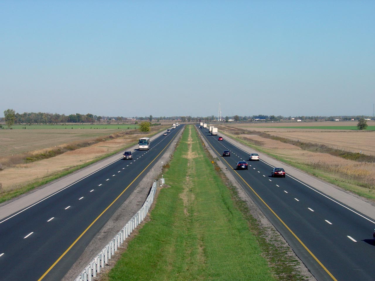
| Town of Lakeshore County of
Essex |
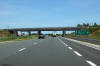
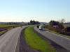
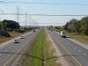
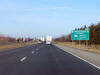
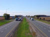
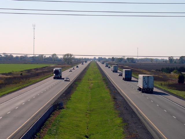
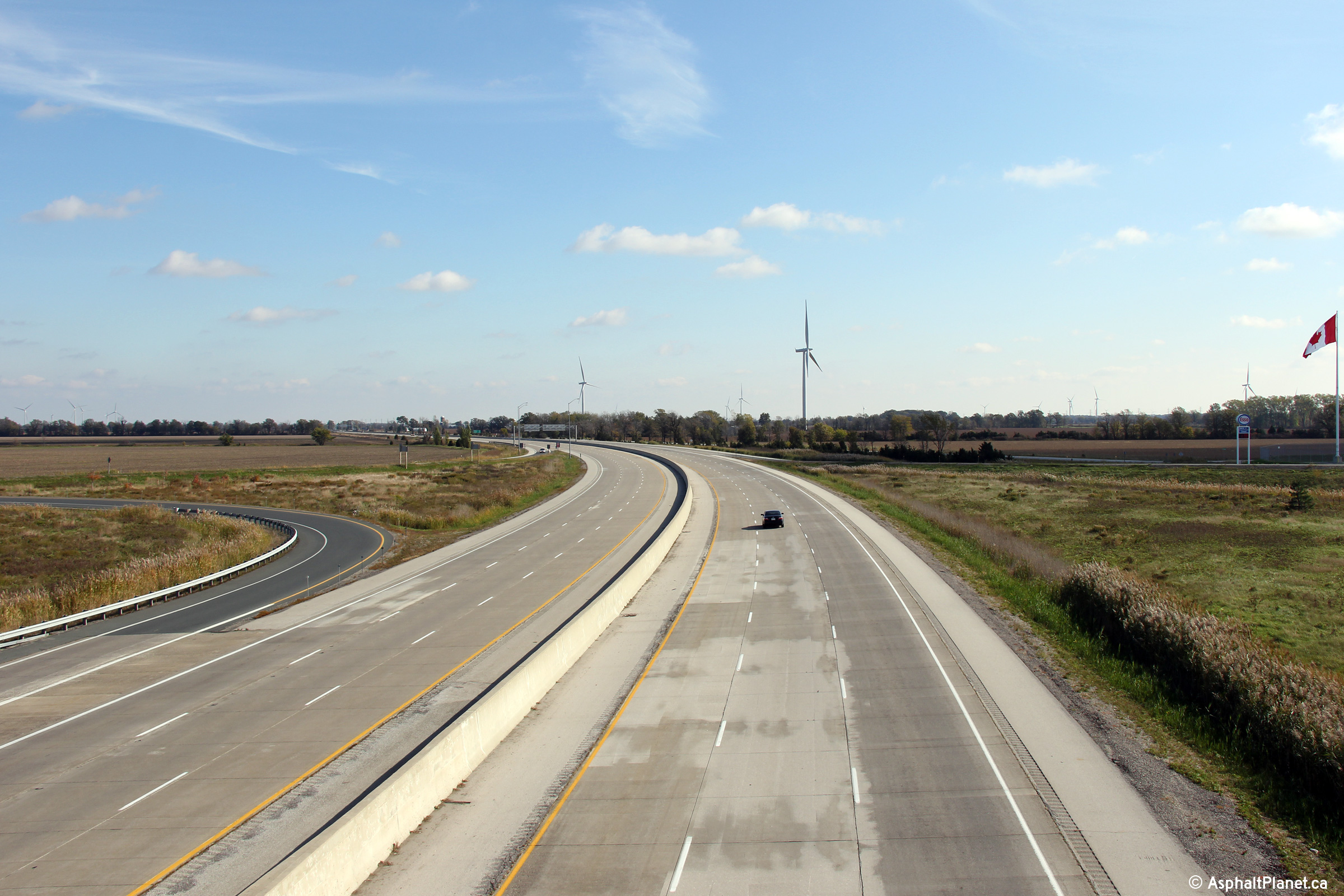
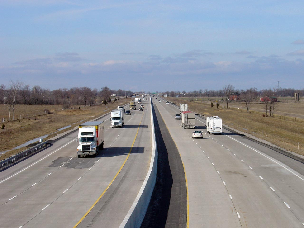
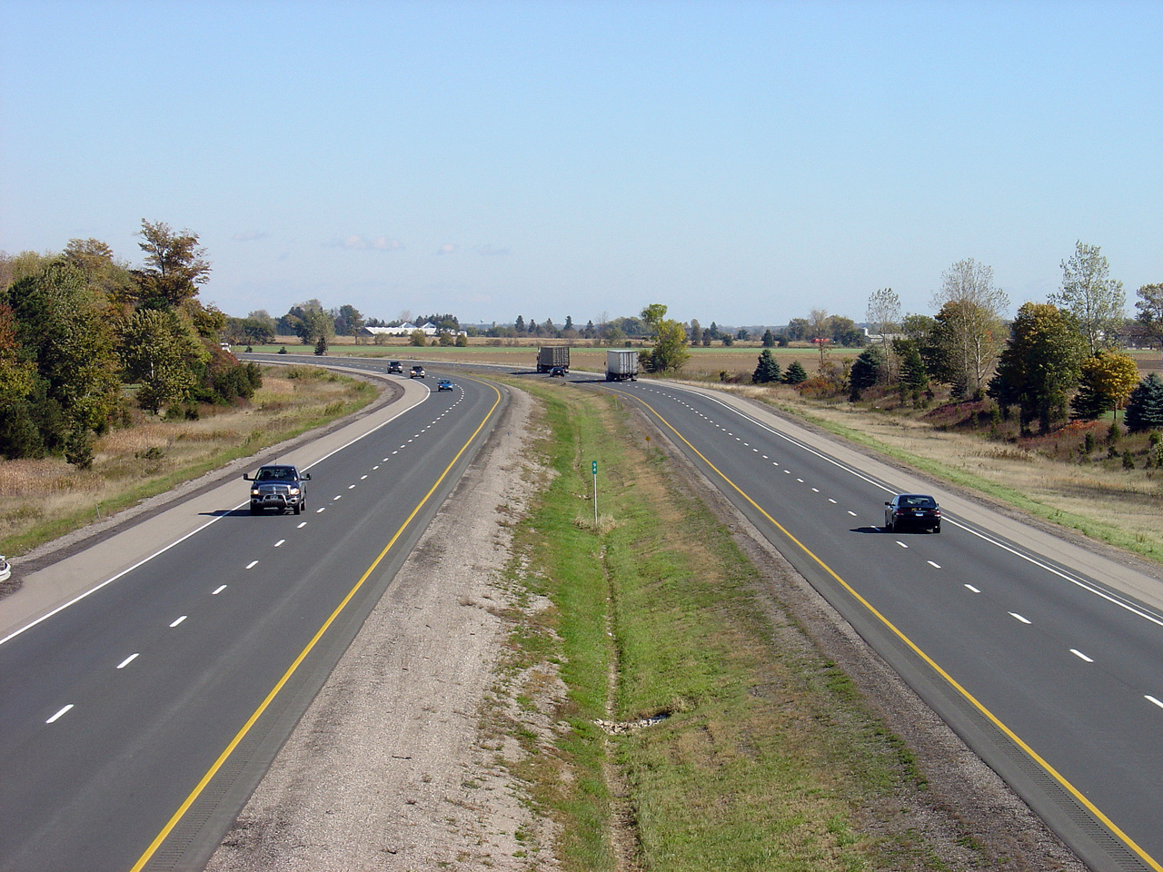
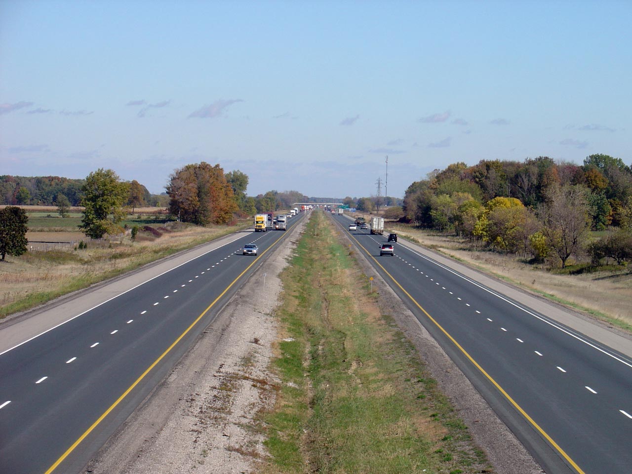
Looking east from the Highway 77 overpass.
Highway 77 is located roughly at kilometre marker 48. The Highway 77
interchange was significantly realigned during the Highway 401
reconstruction, from a low standard parclo-B, to a more modern configuration
with a parclo-A on north of the 401, and a diamond to the south. Click
here for an earlier version of
this photo, taken March, 2006.
Photo taken: October 22nd, 2011. |
(720x480)
(1440x960)
(2400x1600) |
| Town of Lakeshore County of
Essex |
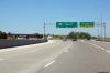
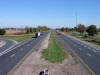
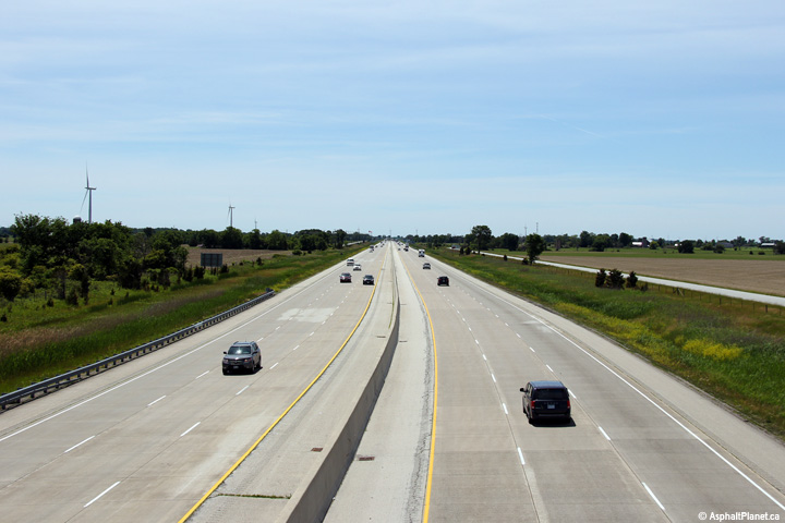
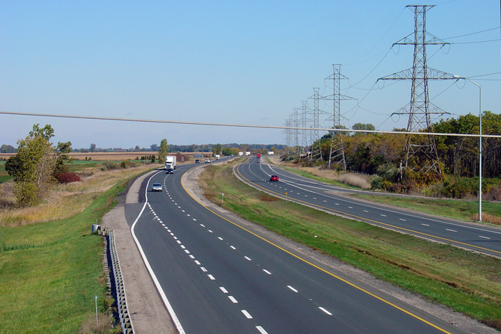
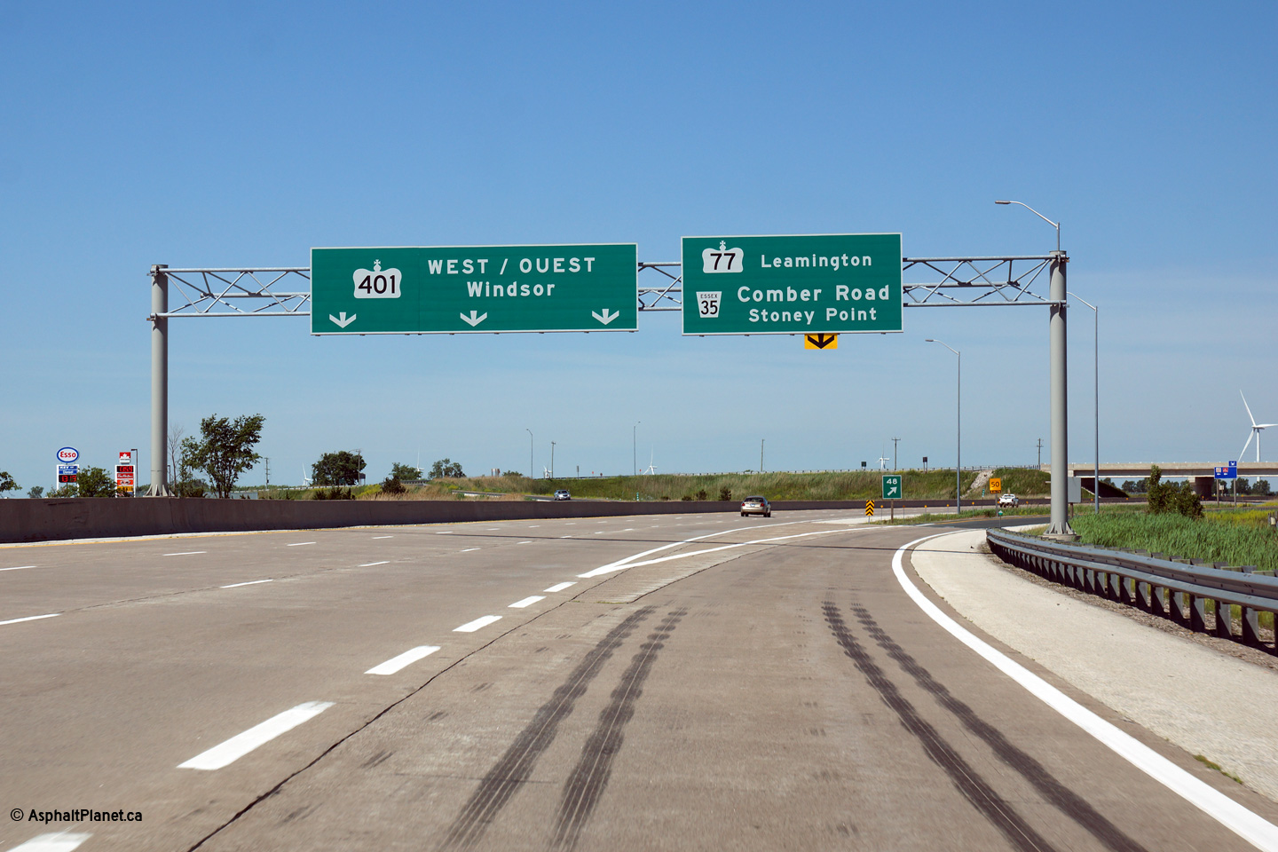
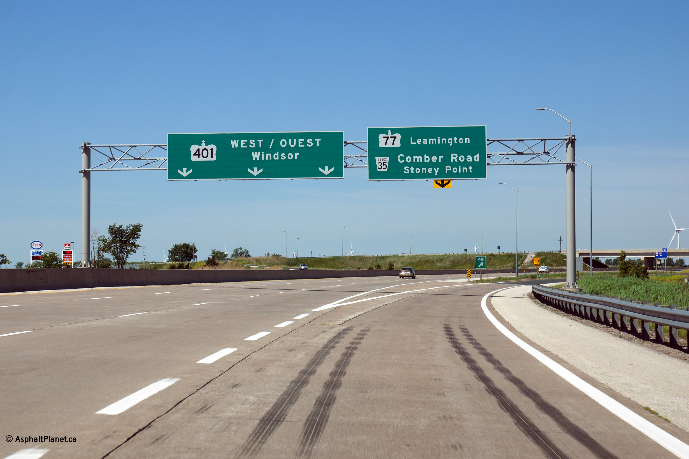
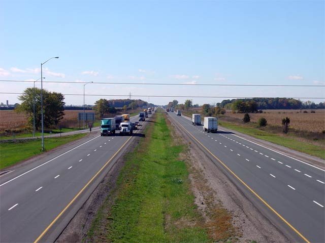
Heading westbound along Highway
401 approaching the Highway 77 interchange.
Photo taken: June 15th, 2014.
|
|
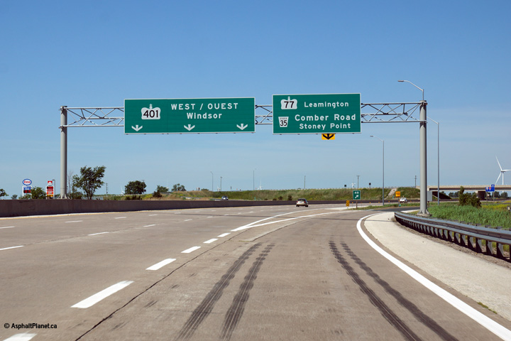
| Town of Lakeshore County of
Essex |
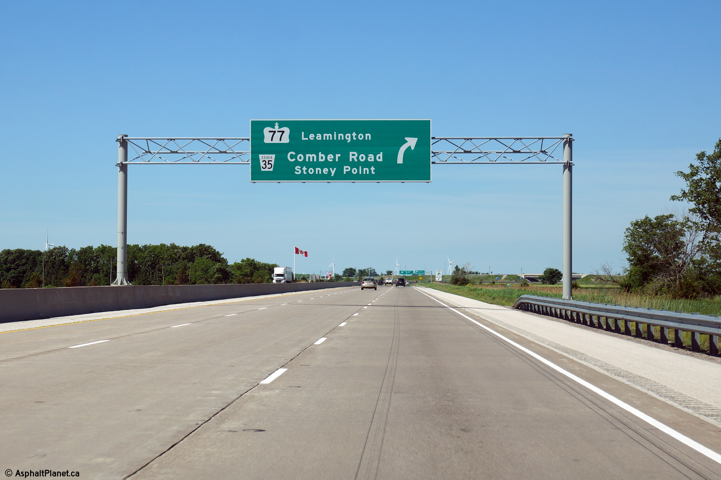
Advanced signage for the upcoming Highway 77
interchange. Photo taken: June 15th, 2014. |
|
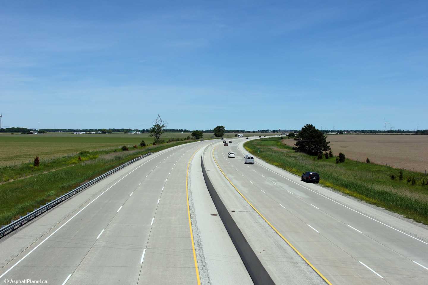
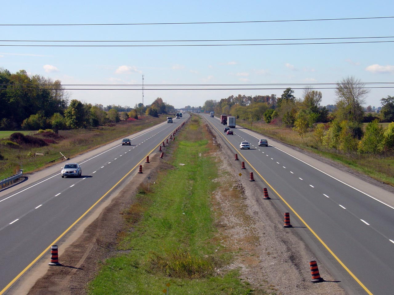
| Town of Lakeshore County of
Essex |
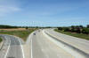
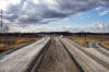
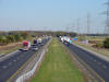
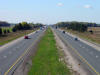
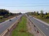
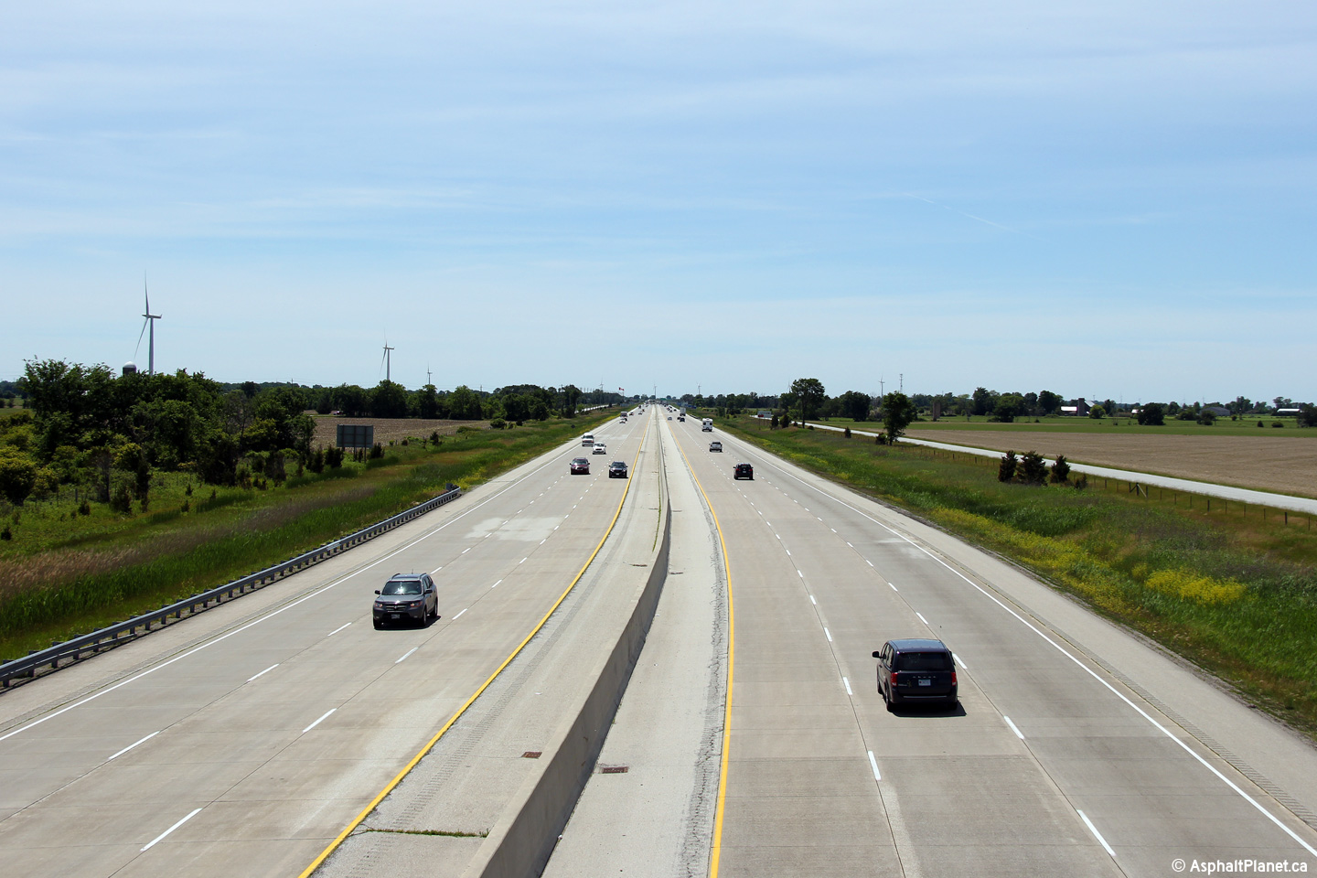
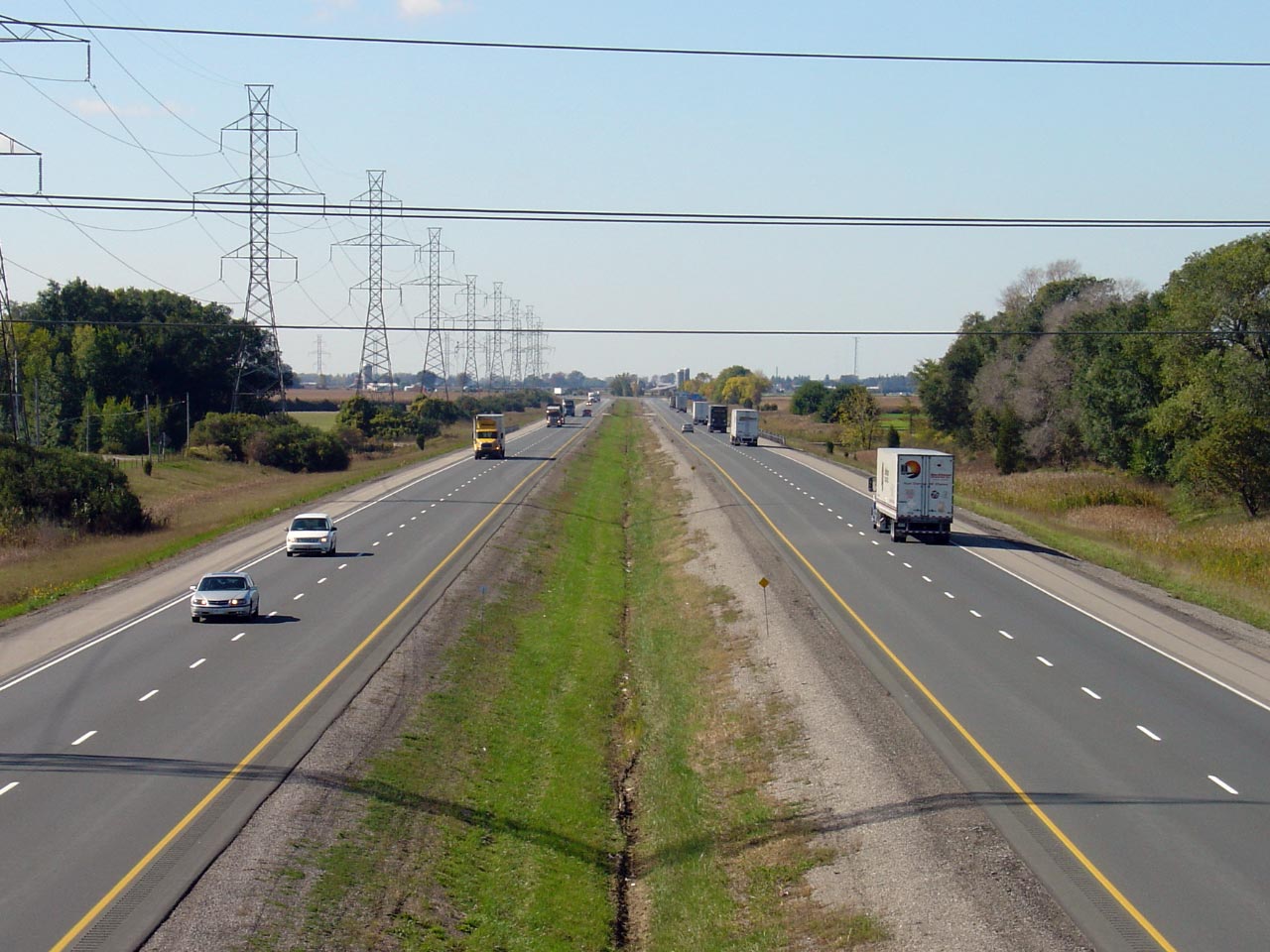
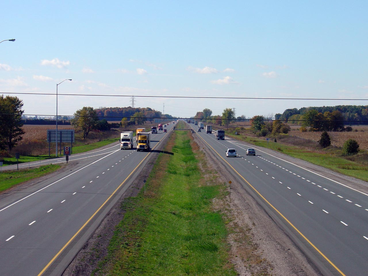
Highway 401 looking west from the
Gracie Road overpass in Essex county. The division between the first
two
stages of Highway 401 widening between Windsor and Tilbury took place just west of Gracie Road.
Sections east of Gracie Road were reconstructed in 2004, while sections west
were left until 2005. Click here for an earlier version of
this photo, taken March, 2006.
Photo taken: June 15th, 2014. |
(720x480)
(1440x960)
(2400x1600) |
|
Highway 401 was widened from four to six lanes between Highway 77 and
Highway 2 between 2004 and 2005.
Click here for more information and photos. |
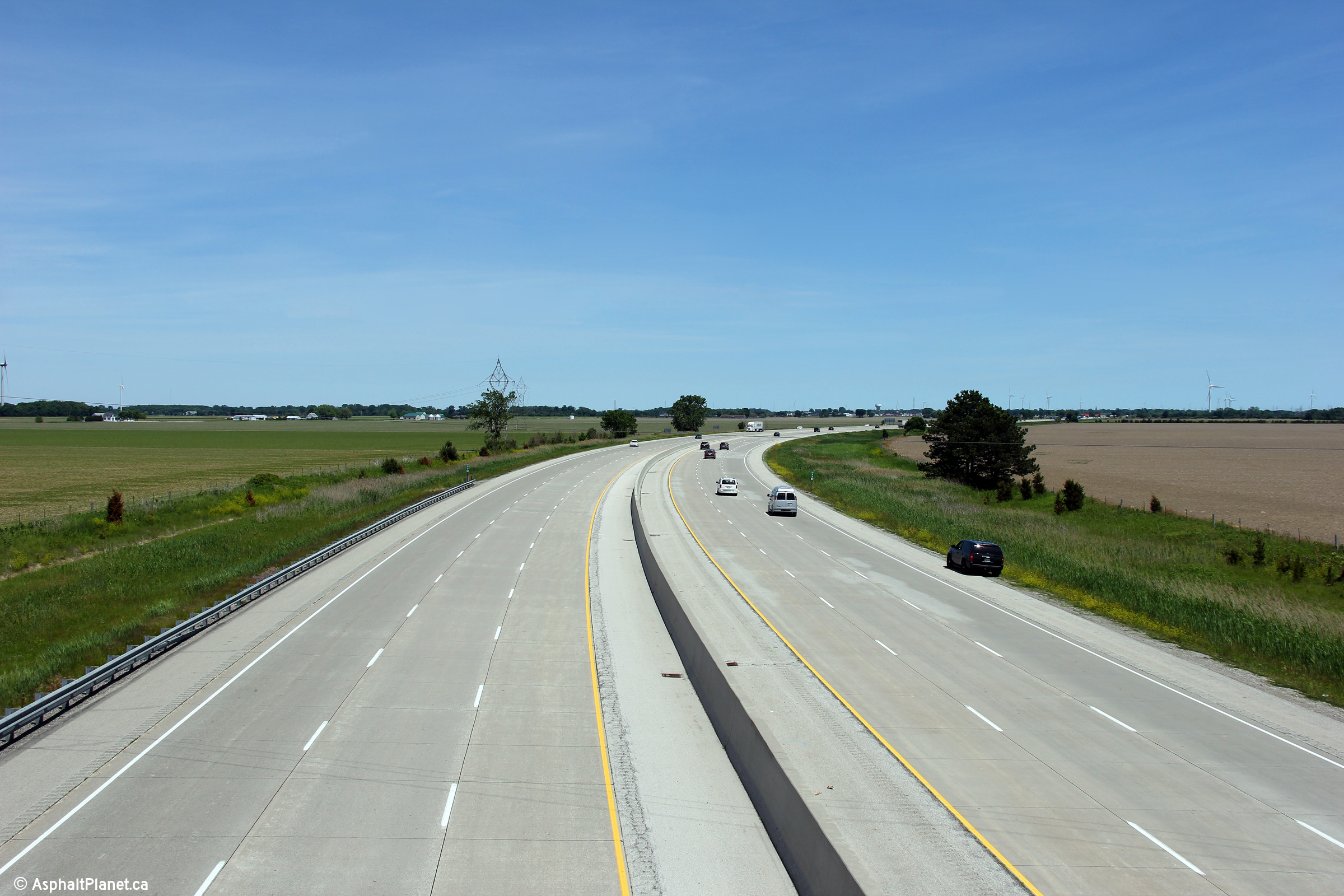
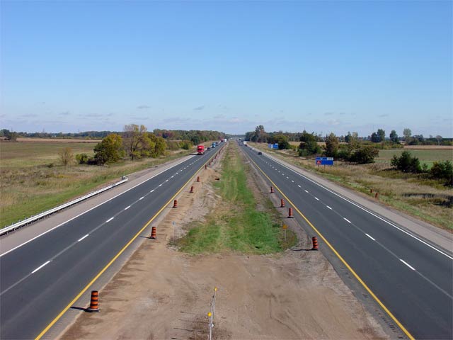
| Town of Lakeshore County of
Essex |
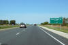
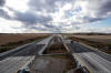
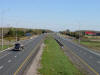
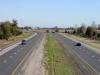
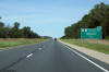
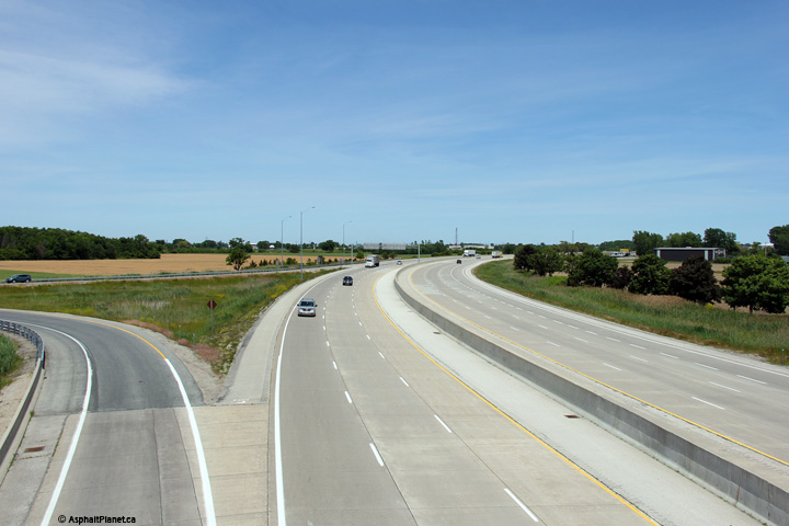
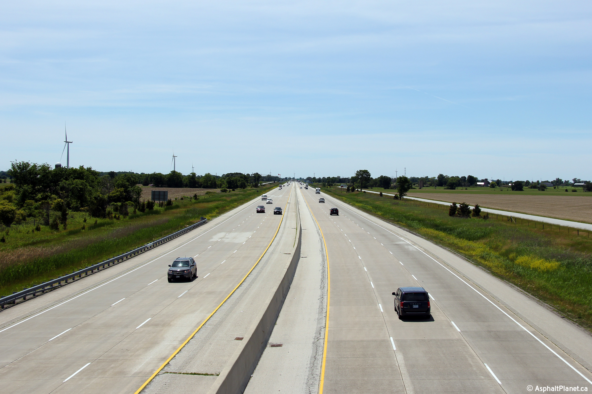
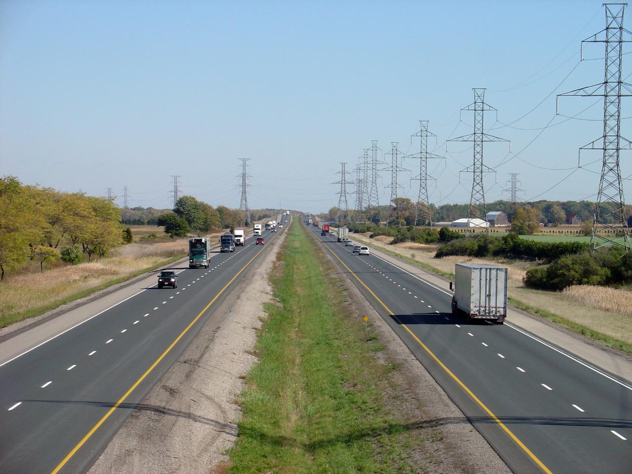
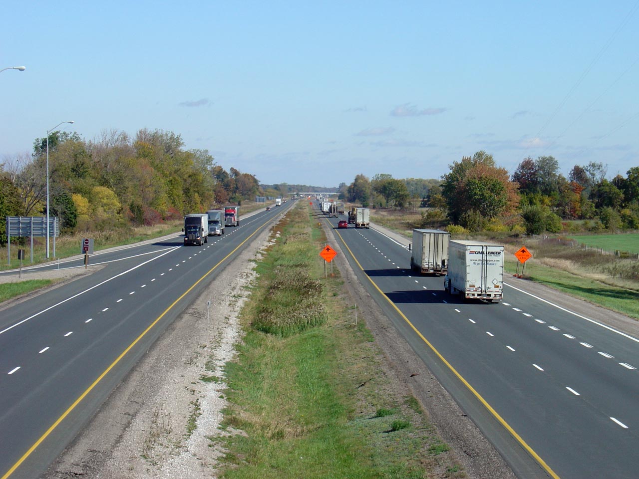
Highway 401 looking east from the
Gracie Road overpass. Click here for an earlier version of
this photo, taken March, 2006.
Photo taken: June 15th, 2014. |

(720x480)
(1440x960)
(2400x1600) |
| Town of Lakeshore County of
Essex |
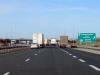
Eastbound advanced signage for the Highway 2 (Tilbury West) interchange.
Photo taken: May 22nd, 2014. |
 (720x480) (720x480)
(1440x960)
(2400x1600) |
| Town of Lakeshore County of
Essex |
Signage at the off-ramp to Highway 2 (Tilbury West).
Photo taken: May 22nd, 2014. |
 (720x480) (720x480)
(1440x960)
(2400x1600) |
| Town of Lakeshore County of
Essex |
Looking west towards Windsor
from the
Highway 2 overpass. Click
here for an earlier version of
this photo, taken March, 2006.
Photo taken: June 15th, 2014.
|
(720x480)
(1440x960)
(2400x1600) |
|
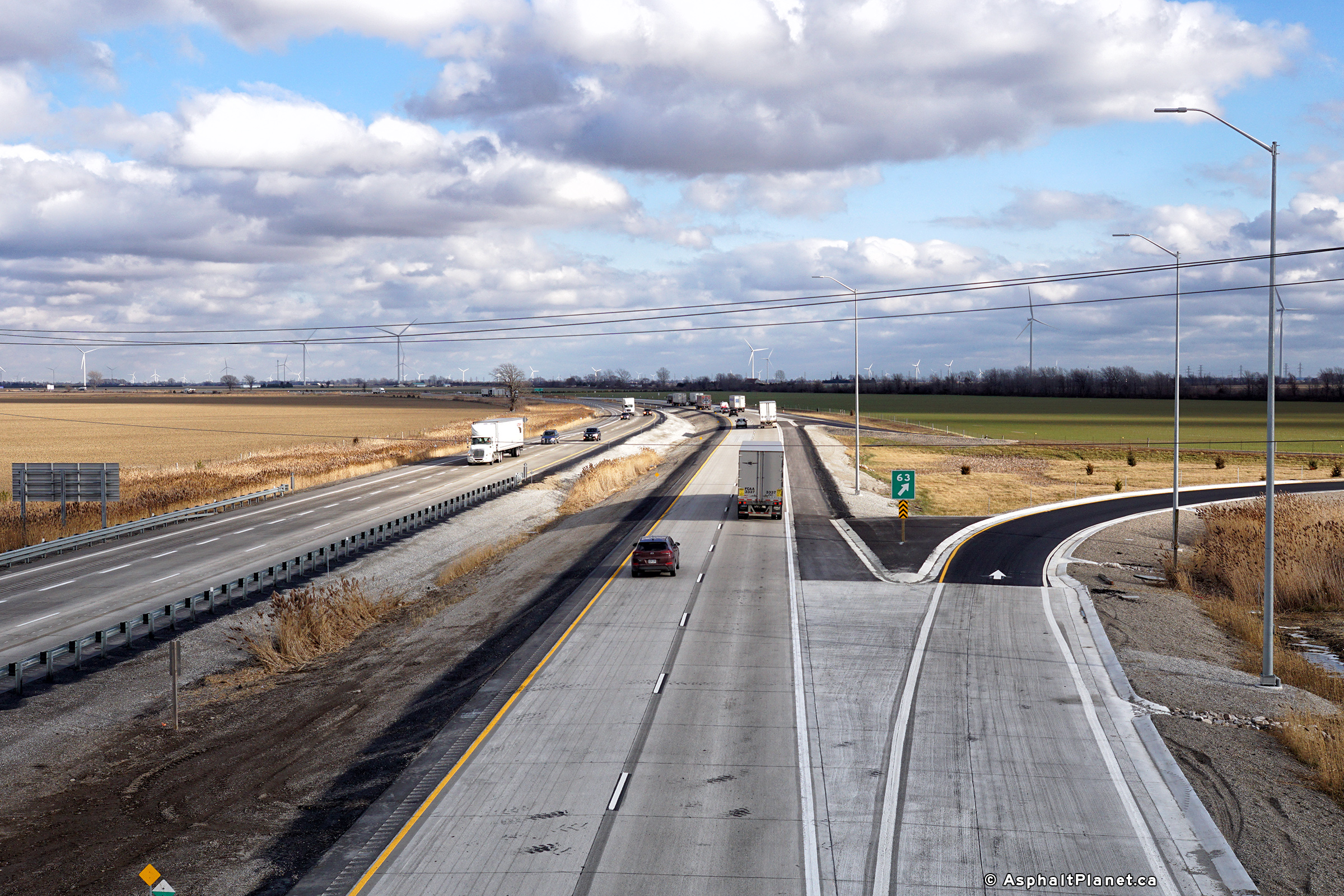
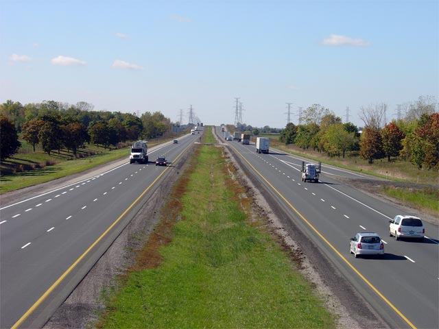
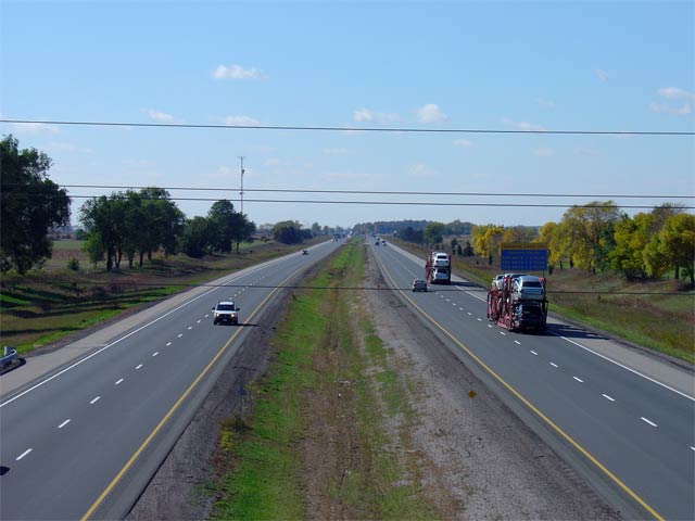
Highway 2 meets Highway 401 at each end of Tilbury.
Highway 401 by-passes Tilbury just to the north of Highway 2. Click
here for Highway 2 images. |
| Town of Lakeshore County of
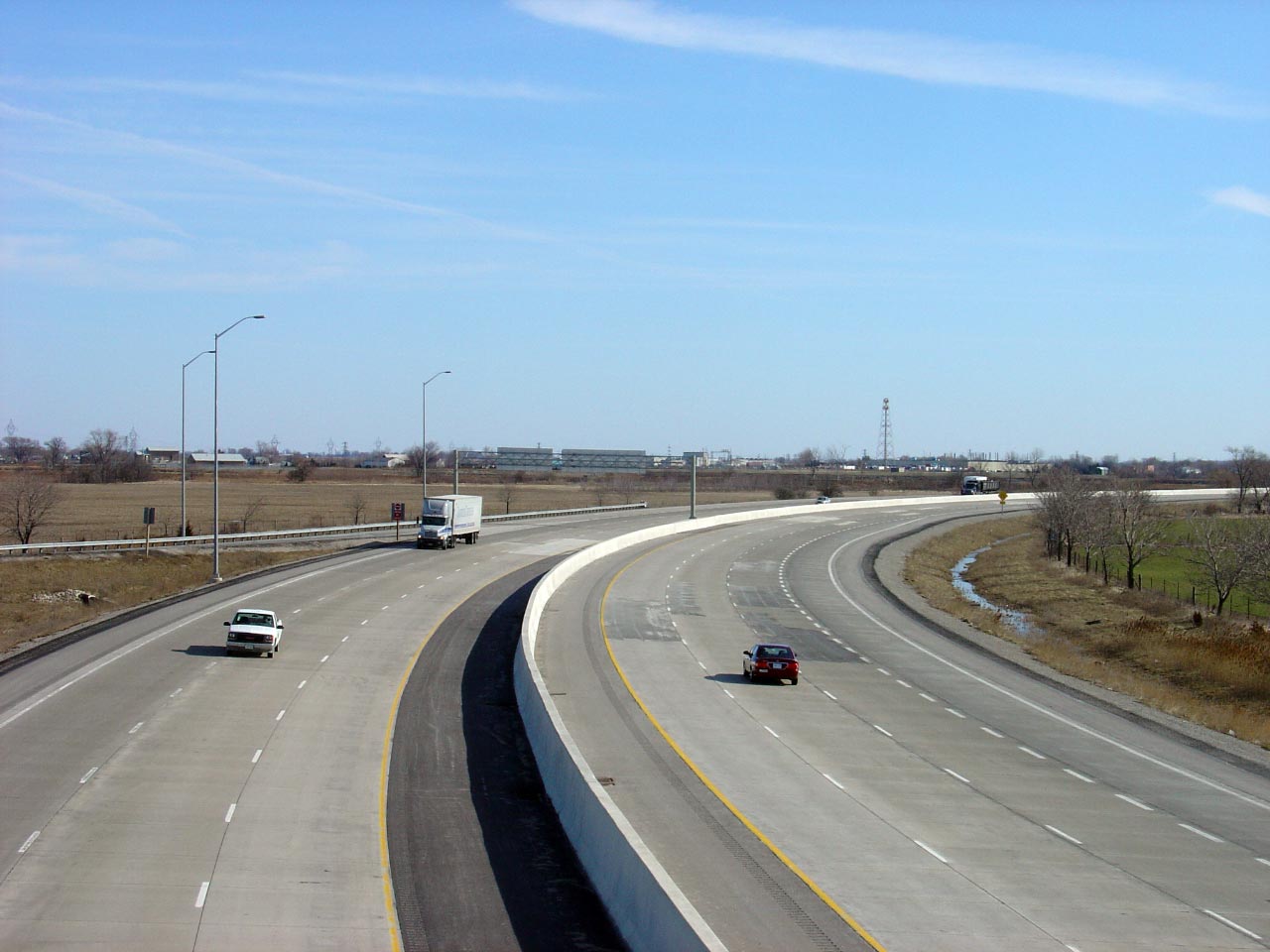
Essex |
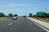
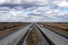
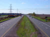
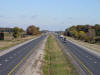
Looking east from the
Highway 2 overpass located just to the west
of Tilbury. The 6-lane highway narrows to 4-lanes with a grassed
median roughly 1km east of the
Highway 2 interchange. Click here for an earlier version of
this photo, taken March, 2006. Photo taken: June 15th, 2014. |
(720x480)
(1440x960)
(2400x1600) |
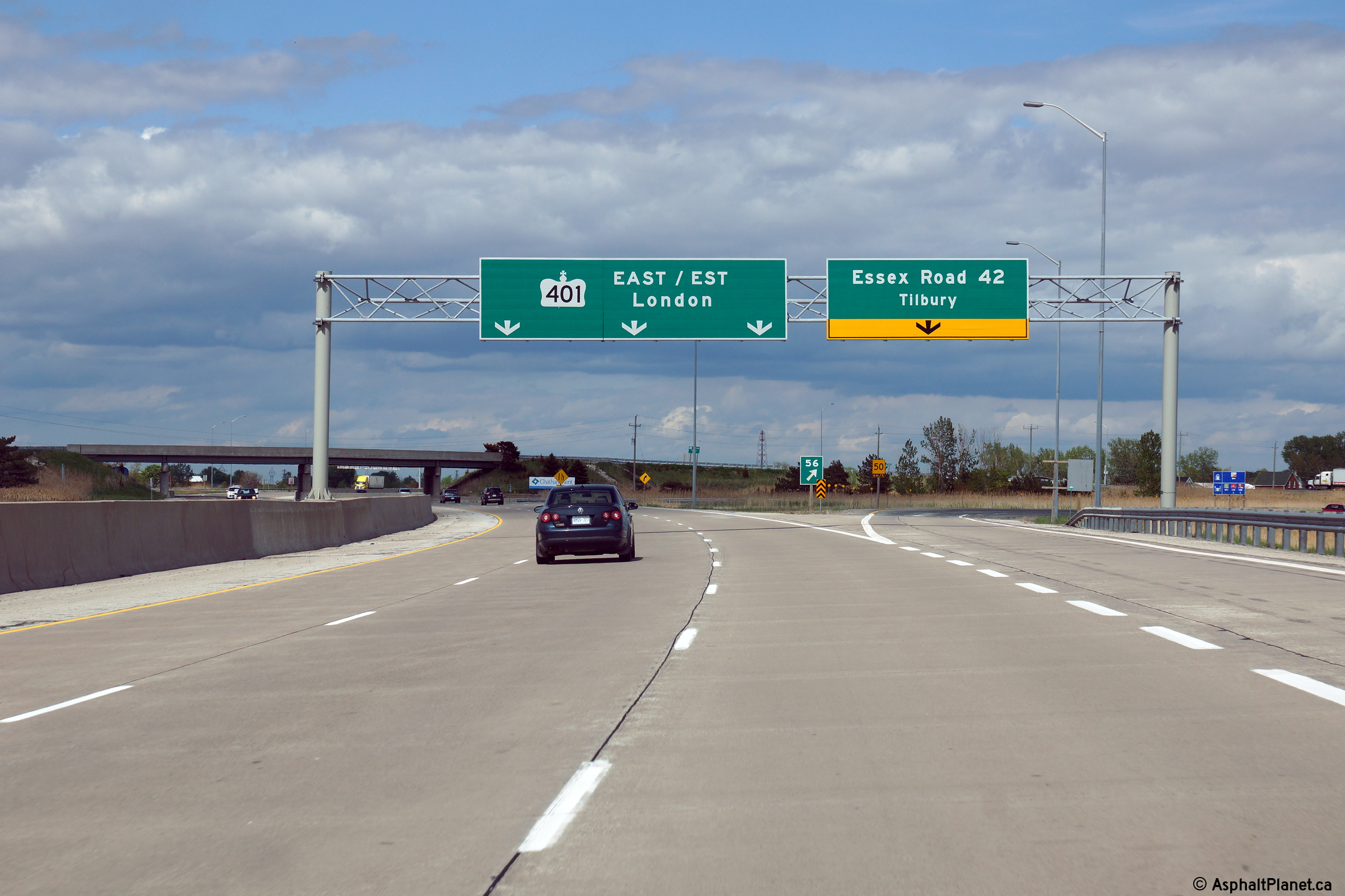
| Town of Lakeshore County of
Essex |
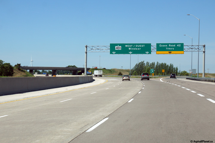
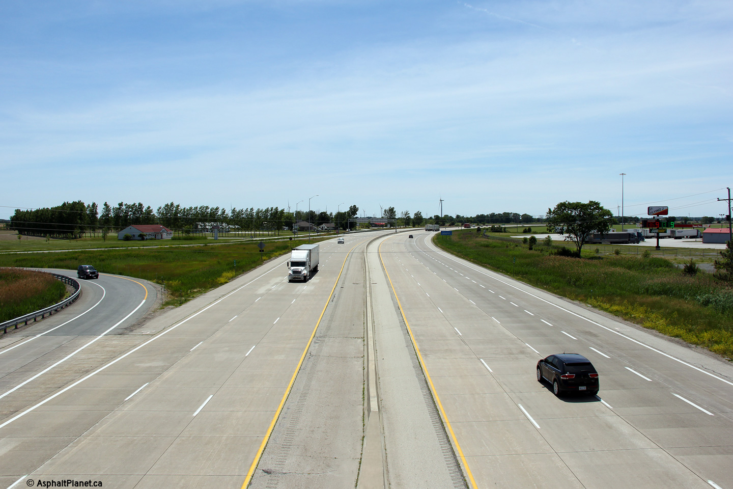
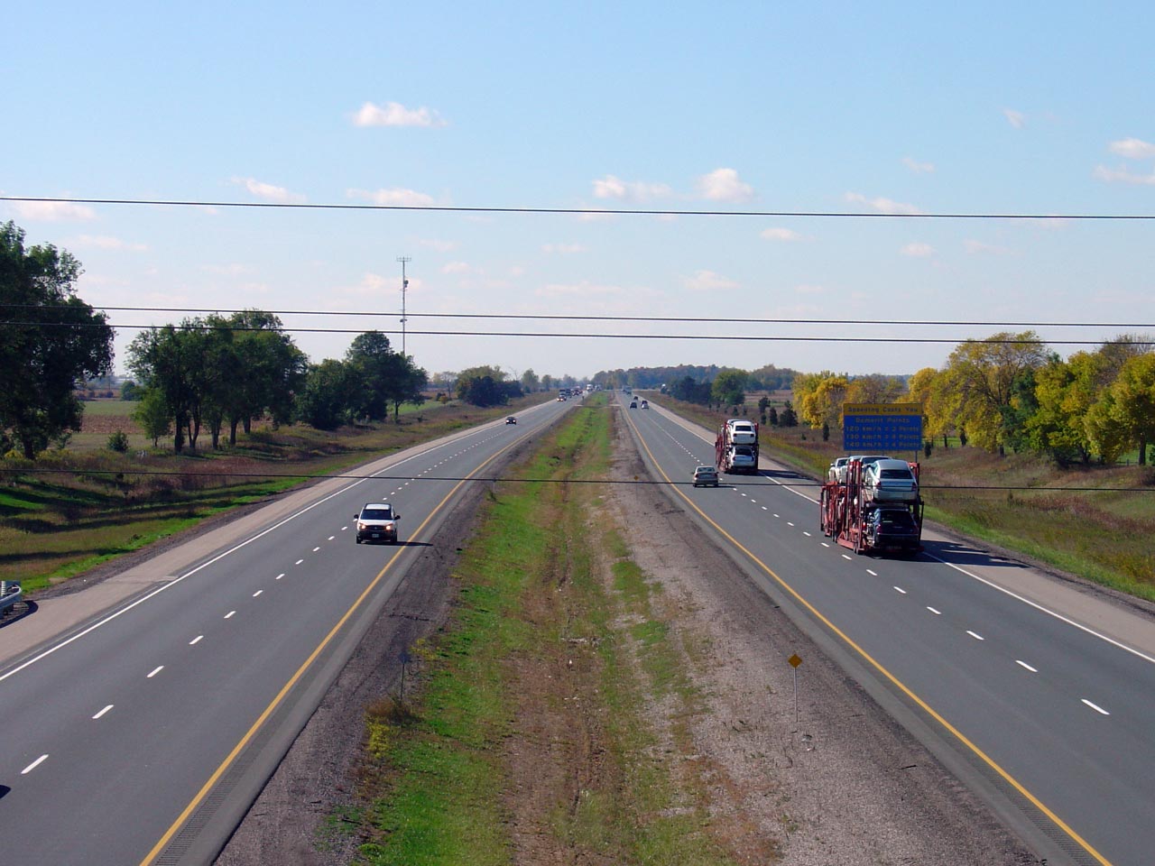
Driving west on Highway 401 at
the
Highway 2 (Essex Road 42) exit.
Overhead signage has been installed throughout the recently widened sections
of Highway 401 throughout Southwestern Ontario. Photo taken: June 15th, 2014. |
 (720x480) (720x480)
(1440x960)
(2400x1600) |
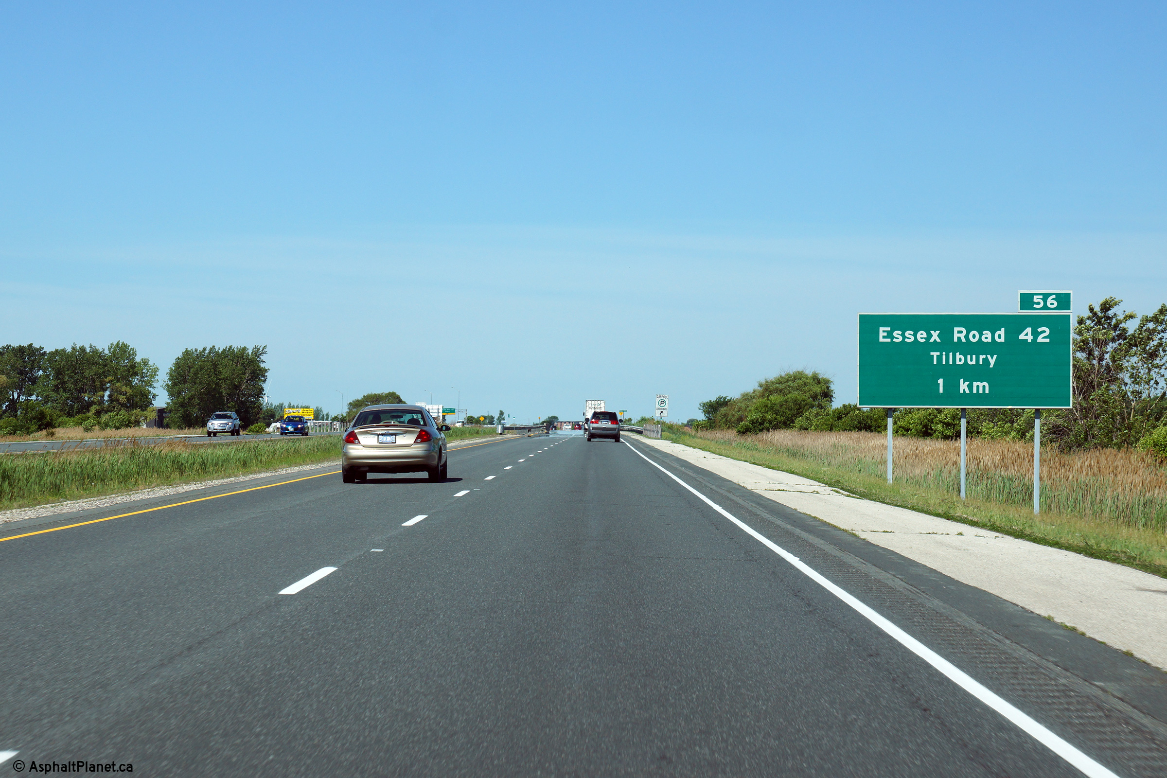
| Municipality of Chatham-Kent |
1km advanced signage for the
upcoming
Highway 2 (since downloading, Essex Road 42)
interchange. Just beyond this sign, Highway 401 widens from 4- to 6-
lanes.
Photo taken: June 15th, 2014. |
 (720x480) (720x480)
(1440x960)
(2400x1600) |
| Municipality of Chatham-Kent |
Easterly view approaching the Highway 2 interchange located to the east of
Tilbury.
Photo taken: June 15th, 2014. |
 (720x480) (720x480)
(1440x960)
(2400x1600) |
| Municipality of Chatham-Kent |
The off-ramp to Highway 2 east of Tilbury departs the mainline lanes of
Highway 401 just beyond the grade separation.
Photo taken: June 15th, 2014. |
 (720x480) (720x480)
(1440x960)
(2400x1600) |
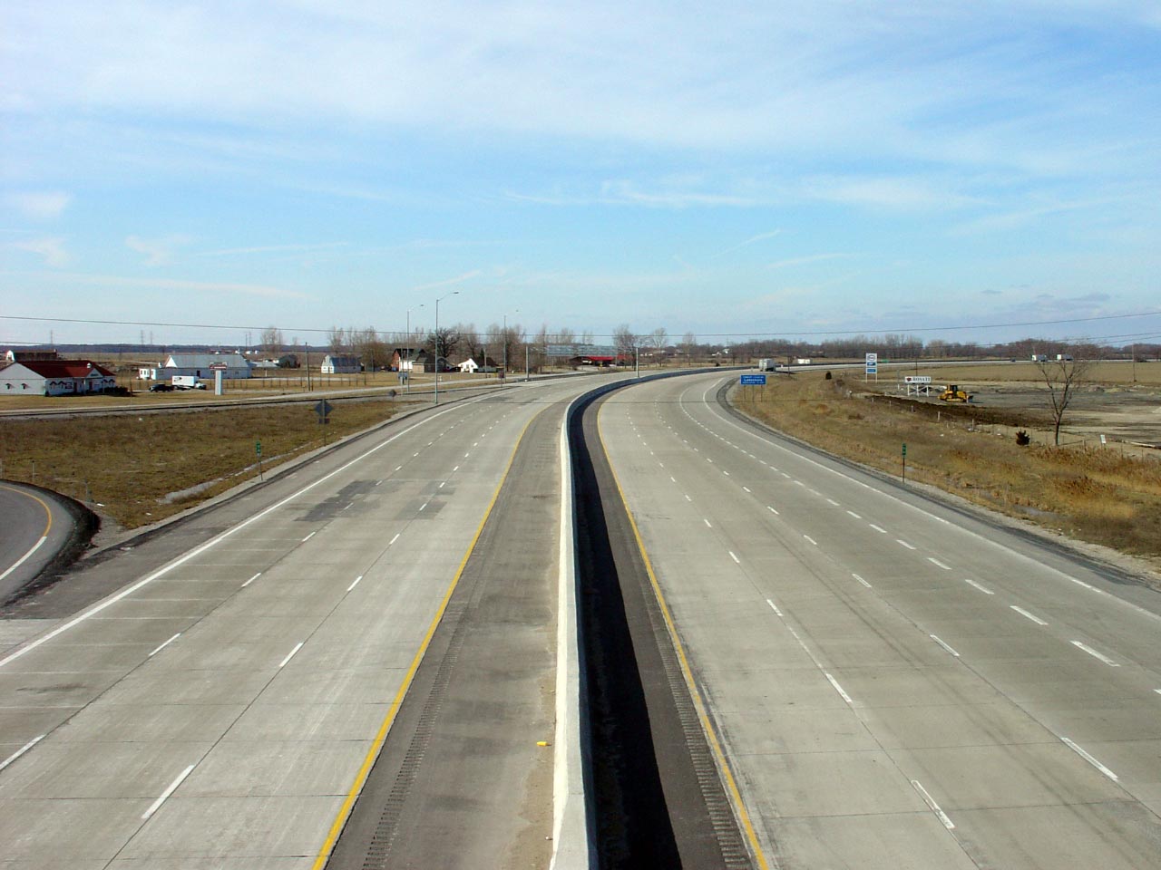
| Municipality of Chatham-Kent |
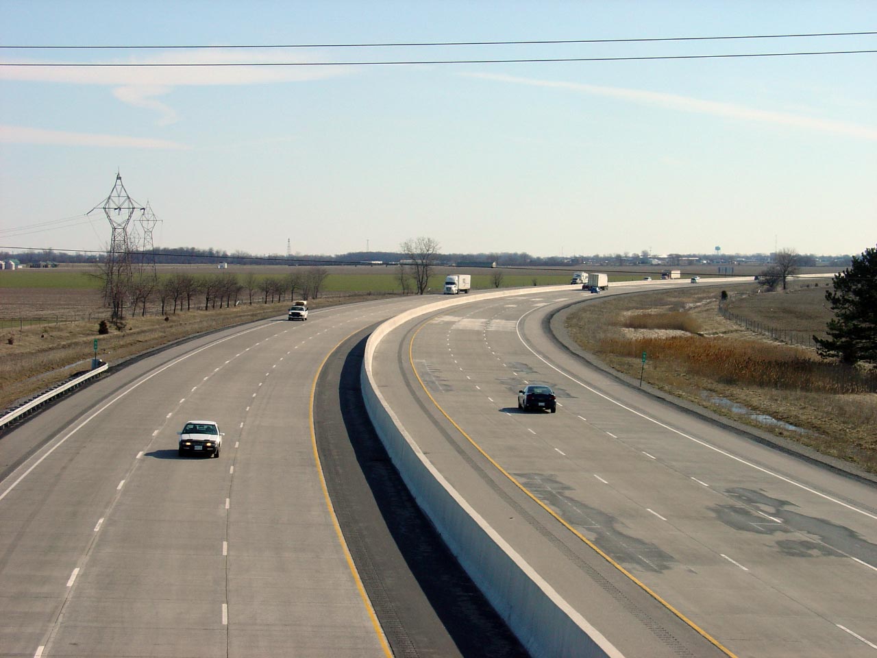
Looking westerly from the
Highway 2 interchange located at the eastern
end of the Tilbury Bypass. Highway 2 provides the only access to and
from Tilbury and Chatham-Kent Road 1 from Highway 401. This was likely
done to minimize disruption to existing businesses along Highway 2 when the
Tilbury bypass was first constructed in 1961.
Upper photo taken: October 17th, 2004.
Lower photo taken: December 6th, 2017. |
(720x480)
(1440x960)
(2400x1600) |
|
Highway 2 is the predecessor to Highway 401 running
parallel to the highway for most of its length. Click here for Highway
2 images (Coming Soon!) |
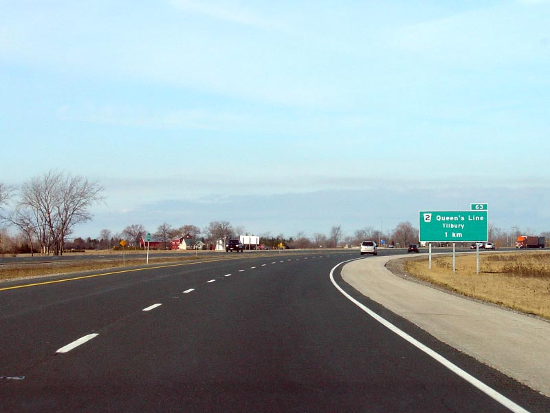
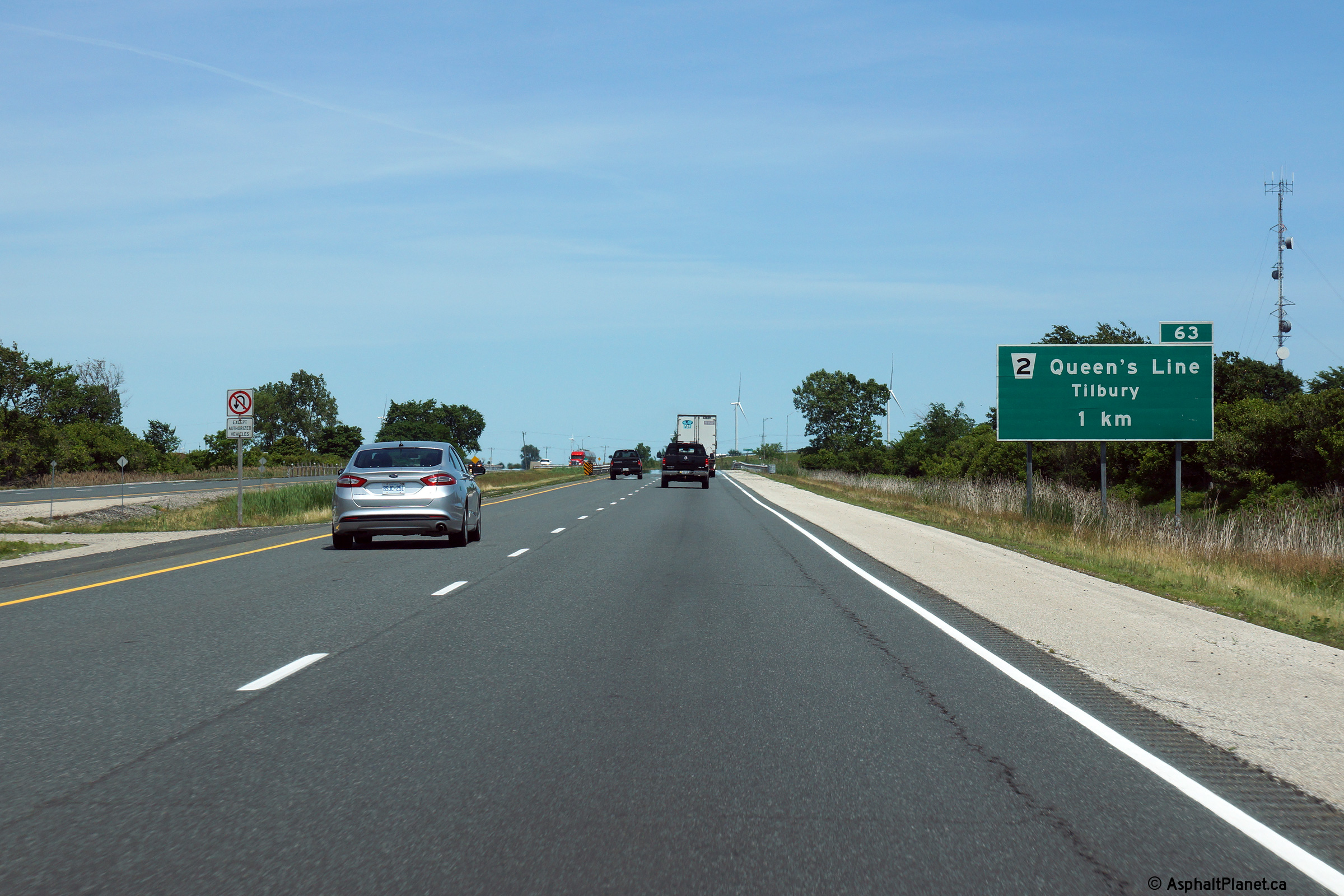
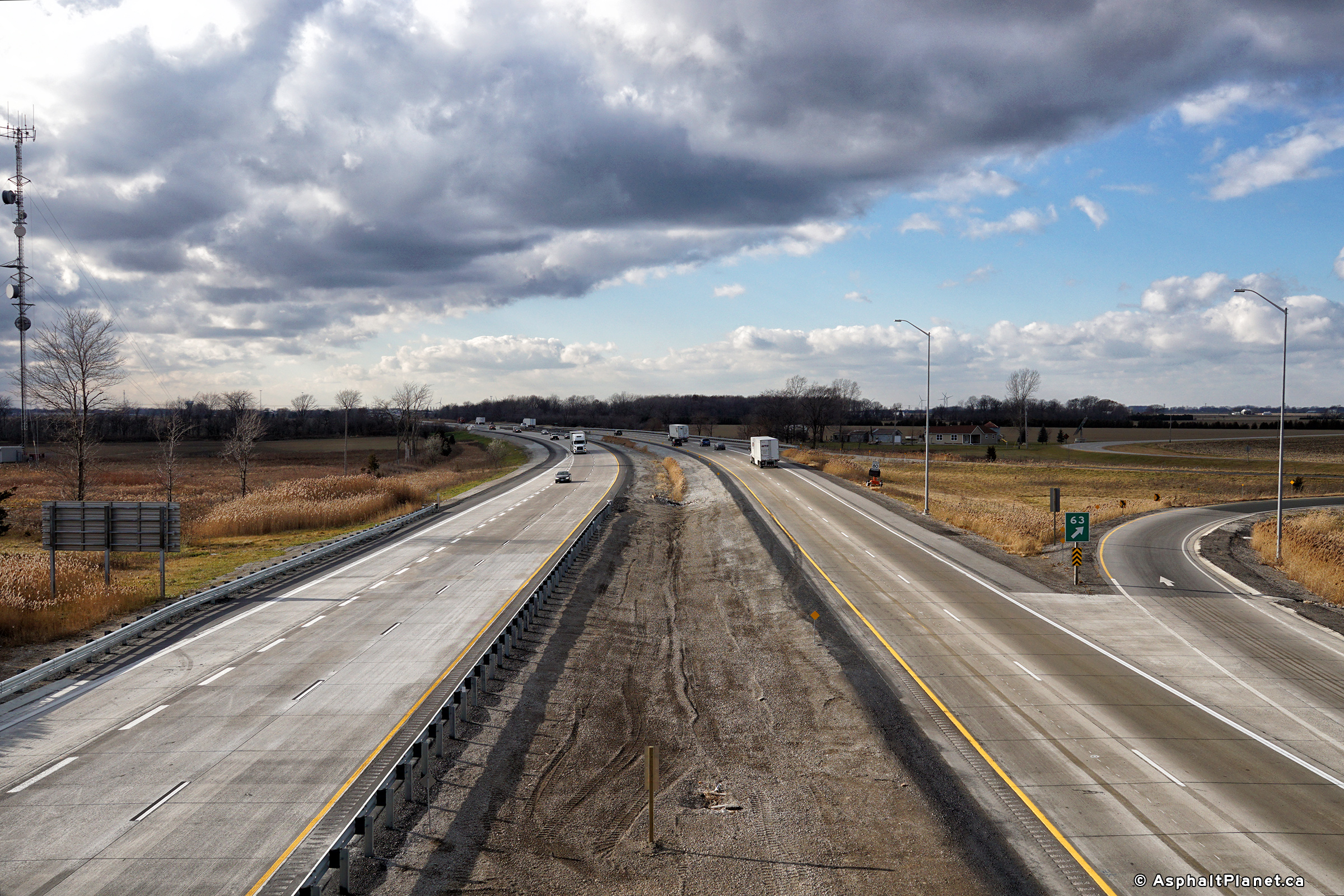
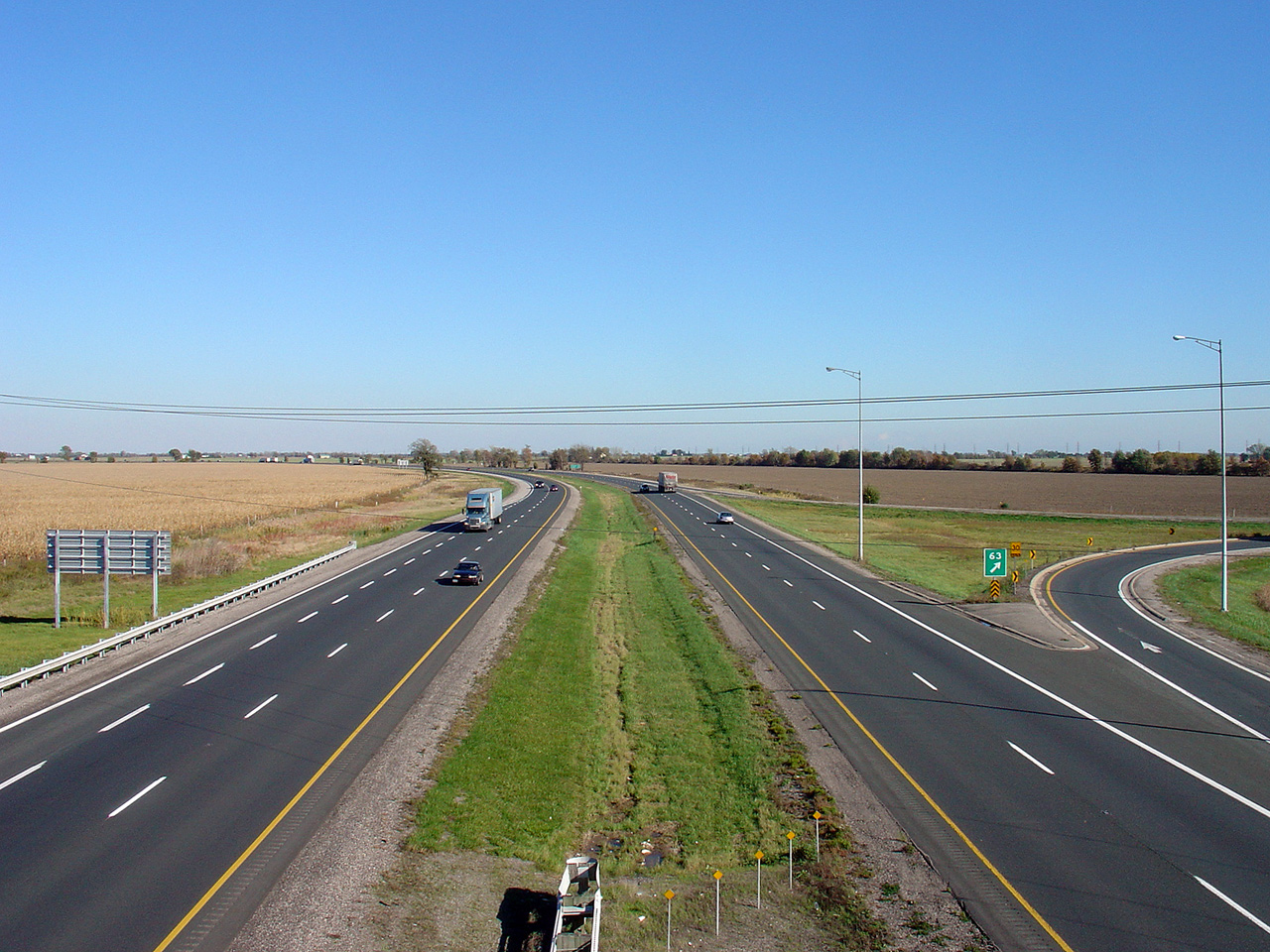
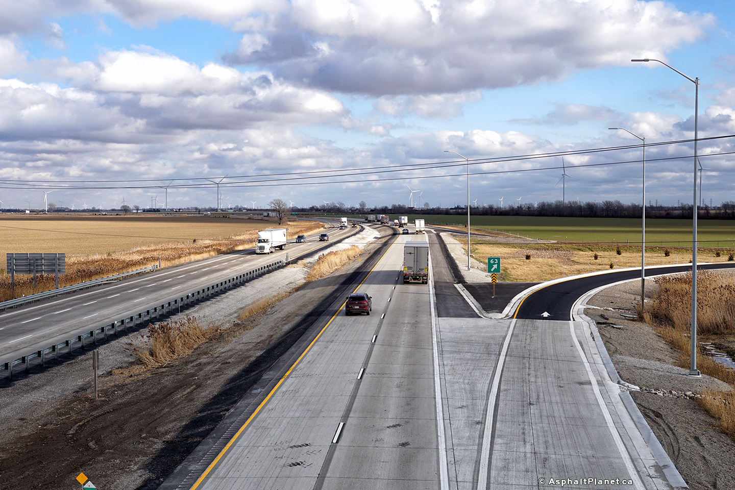
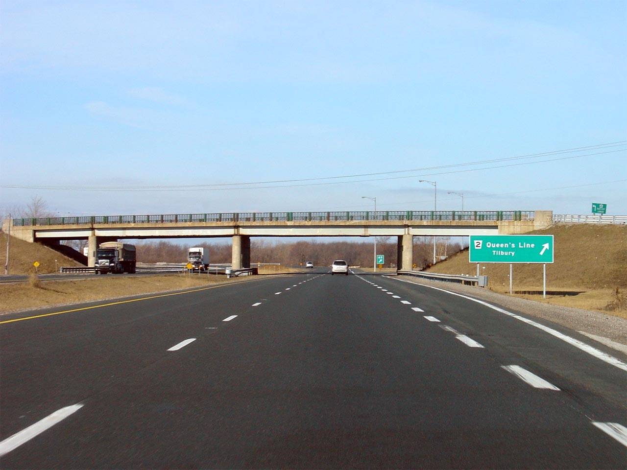
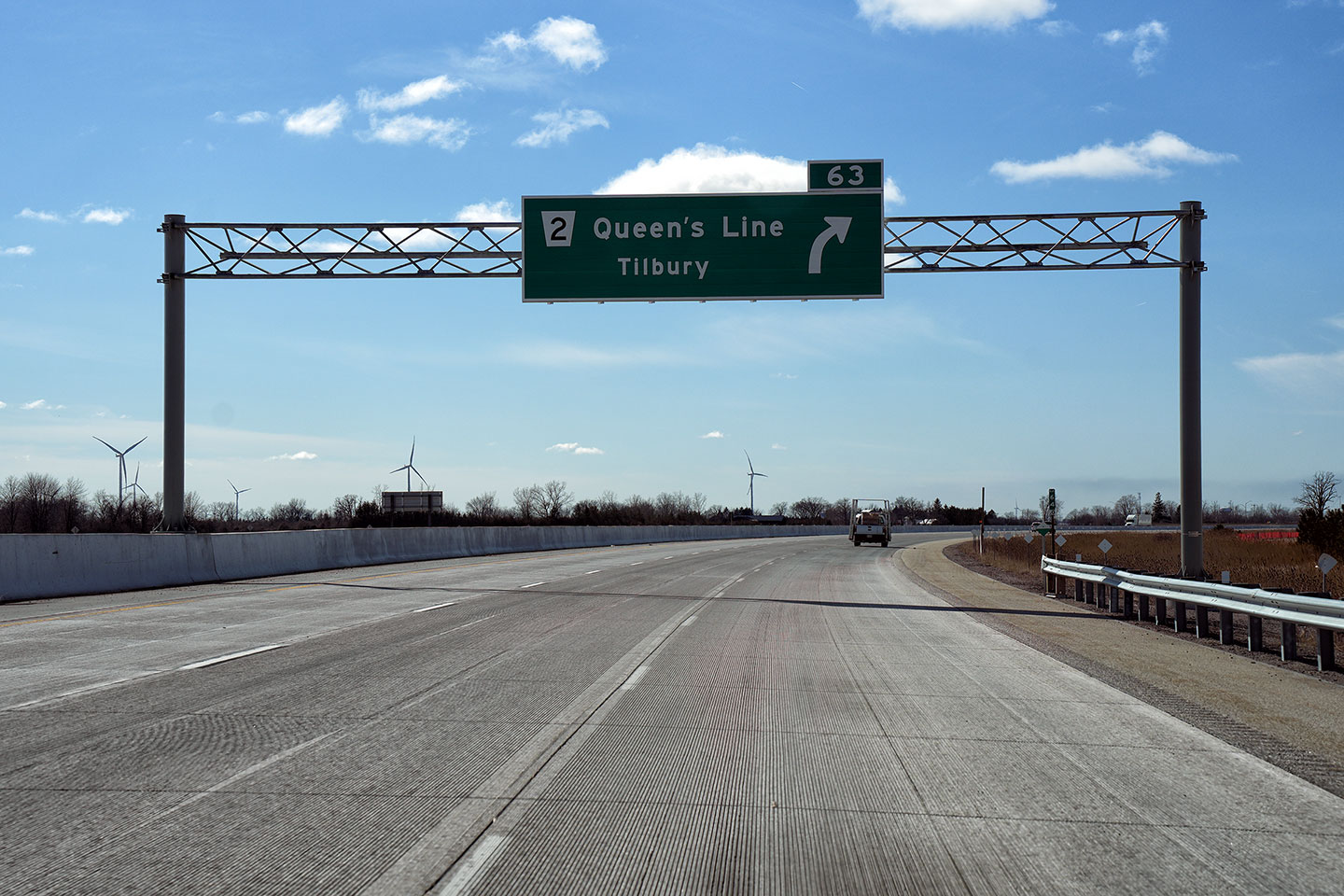
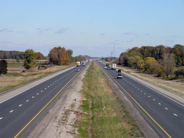
| Municipality of Chatham-Kent |
Looking east from the
Highway 2 interchange located east of
Tilbury. The eastern
Highway 2 interchange is located roughly at
kilometre marker 63.
Upper photo taken: October 17th, 2004.
Lower photo taken: December 6th, 2017. |

(720x480)
(1440x960)
(2400x1600) |
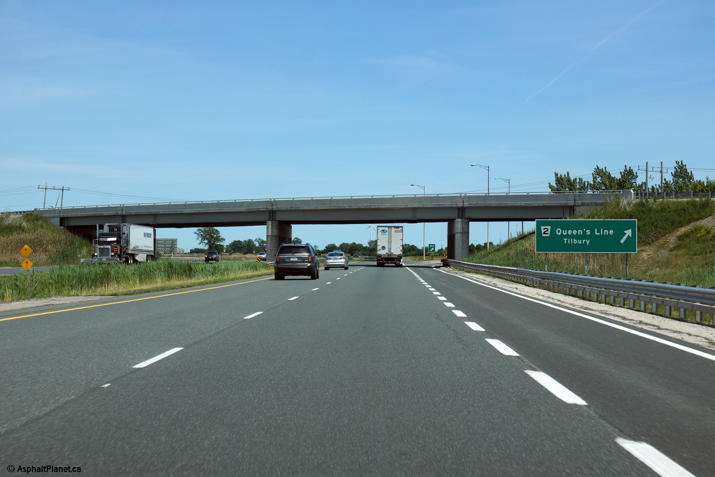
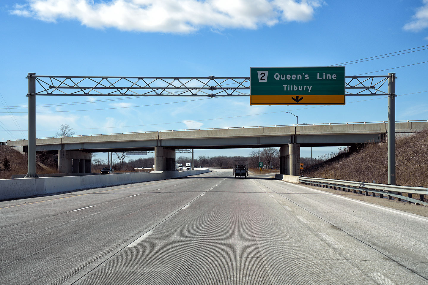
| Municipality of Chatham-Kent |
View looking westerly towards the Highway 2 (Chatham-Kent Road 2, Queens
Line) Road interchange. In 2006 the vintage steel railings on the Hwy
2 overpass had yet to be replaced with the bland concrete railings that
adorn modern freeway structures.
Upper photo taken: March 17th, 2006..
Lower photo taken: March 8th,
2023. |
|
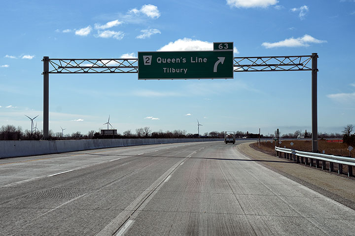
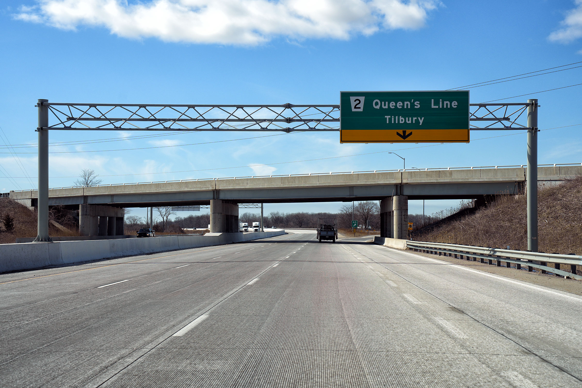
| Municipality of Chatham-Kent |
Advanced sign for the Highway 2 interchange. The Highway 2 -
Tilbury East interchange is situated in the middle of a very long reversing
curve. Upper photo taken: March 17th, 2006. Lower photo taken: March
8th, 2023. |
|
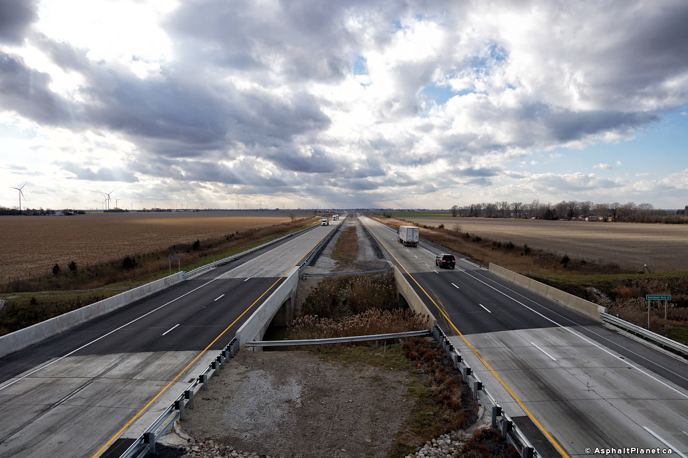
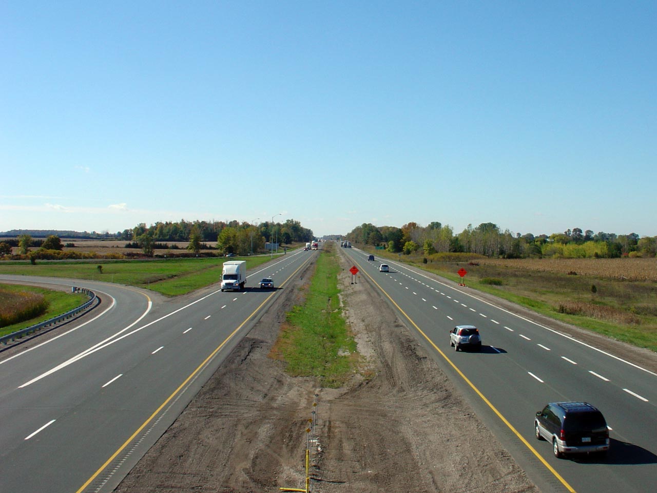
| Municipality of Chatham-Kent |
View looking westerly towards Tilbury from the Merlin Road overpass.
Notice the vintage railings on the eastbound watercourse crossing.
Interestingly, the westbound (and rehabilitated bridge) was constructed
later then the eastbound bridge. Between Tilbury and London, Highway
401 opened first as a two-lane at-grade highway.
Upper photo taken: October 17th, 2004.
Lower photo taken: December 6th, 2017. |
(720x480)
(1440x960)
(2400x1600) |
| Municipality of Chatham-Kent |
View looking east along Highway 401 from the Merlin Road overpass.
Merlin Road is located at roughly kilometre marker 69.
Upper photo taken: October 17th, 2004.
Lower photo taken: December 6th, 2017. |
(720x480)
(1440x960)
(2400x1600) |
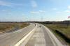
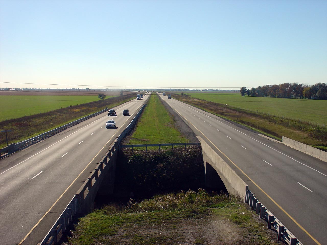
| Municipality of Chatham-Kent |
Looking west along a sweeping curve from the Drake Road overpass, southwest
of Chatham. Picture taken: October 17th, 2004. |
(720x480)
(1440x960) |
| Municipality of Chatham-Kent |
This is the opposing view from Drake Road. Notice once again the older
eastbound structure carrying Highway 401 overtop of the narrow watercourse
has once again not been rehabilitated, while the newer westbound structure
has been. Picture taken: October
17th, 2004. |

(720x480)
(1440x960) |
| Municipality of Chatham-Kent |
Looking west into the October sun
from the Dillon Road overpass.
Picture taken: October 17th, 2004. |

(720x480)
(1440x960) |
| Municipality of Chatham-Kent |
View looking easterly from the
Dillon Road overpass.
Picture taken: October 17th, 2004. |
(720x480)
(1440x960) |
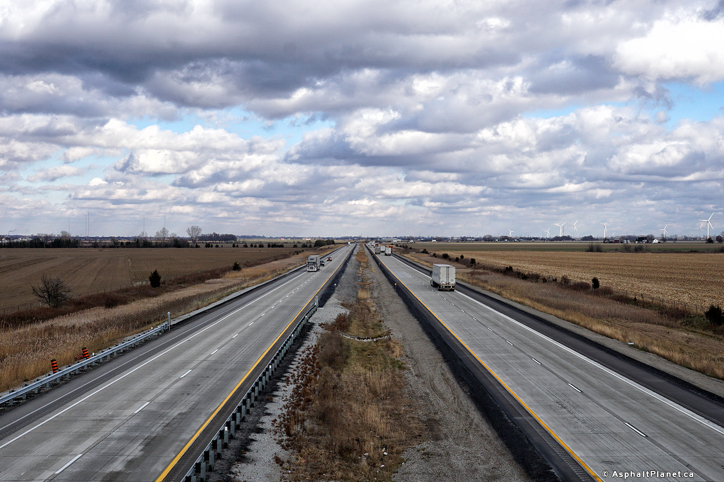
| Municipality of Chatham-Kent |
The western view of Highway 401
from the Bloomfield Road overpass near Chatham. Bloomfield Road is
located roughly at kilometre marker 81. Picture taken: October 17th, 2004. |
(720x480)
(1440x960) |
| Municipality of Chatham-Kent |
Highway 401 looking east from
Bloomfield Road in Chatham. For many years Bloomfield Road was an MTO
maintained highway. Hwy 7116, (a secret designation) existed from
Highway 401 northerly to Park Avenue in Chatham. Hwy 7116 was
apparently decommissioned in 1997.
Picture taken: October 17th,
2004. |

(720x480)
(1440x960) |
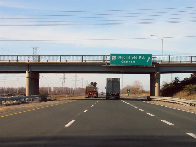
| Municipality of Chatham-Kent |
Overhead sign for the Bloomfield Road interchange. Bloomfield Road
meets Highway 401 at a parclo B-2 interchange. Several parclo-B style
interchanges were constructed along Highway 401 between Tilbury and London.
Picture taken: October 17th, 2005. |
(720x480)
(1440x960) |
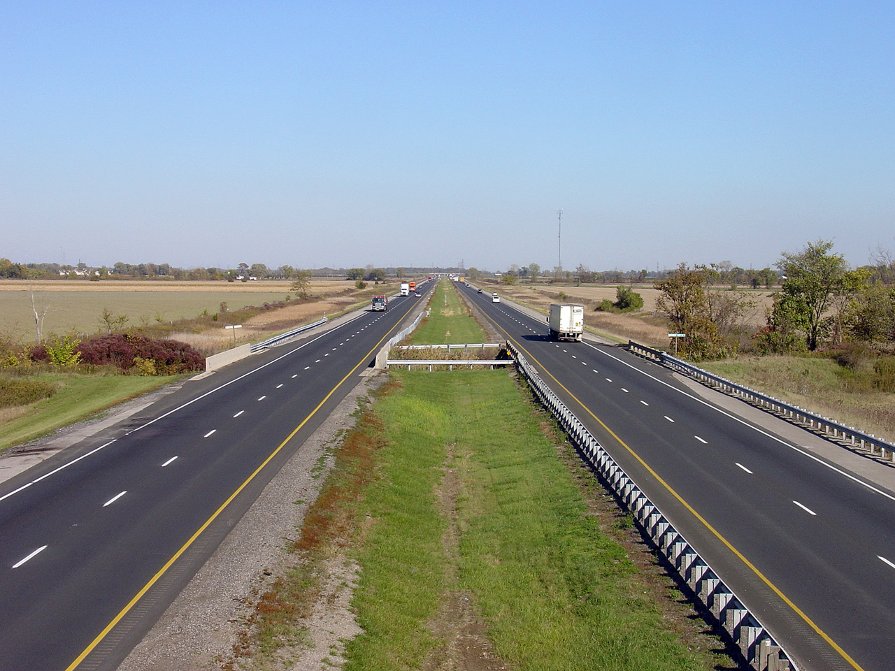
| Municipality of Chatham-Kent |
View looking westerly along Highway 401 from Charing Cross Road.
Charing Cross Road is located at roughly kilometre marker 85. Picture
taken: October 17th, 2005. |
(720x480)
(1440x960) |
| Municipality of Chatham-Kent |
View looking easterly from the Charing Cross Road overpass. Picture taken:
October 17th, 2005. |
(720x480)
(1440x960) |
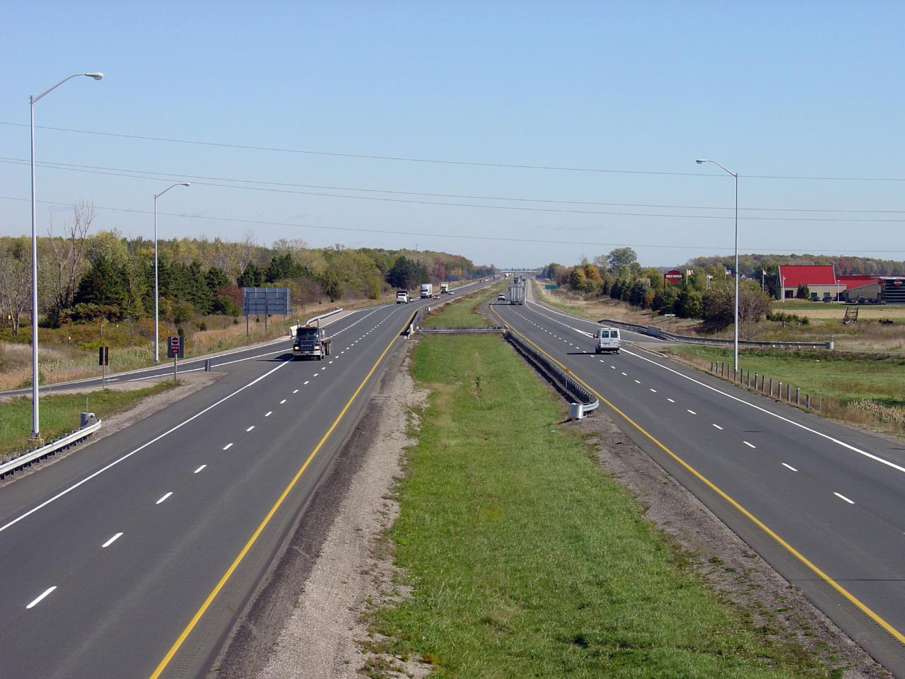
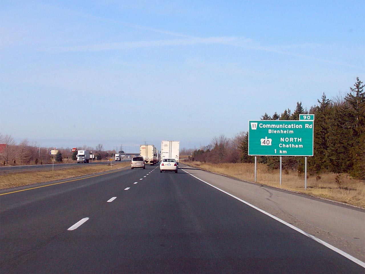
| Municipality of Chatham-Kent |
Looking west from the Highway 40
interchange. Highway 40 has a comparatively low-standard interchange
compared to most of those between two highways through Southwestern Ontario.
This is because Highway 40 was not extended south of Chatham until after
Highway 401 had been constructed.
Picture taken: October 17th, 2005. |

(720x480)
(1440x960) |
|
Highway 40 leads North-South between Blenheim and
Sarnia.
Click here for Highway 40 images. |
| Municipality of Chatham-Kent |
Looking easterly along Highway 401 from the
Highway 40
overpass near Chatham. Highway 40 is located near kilometre marker 90.
Picture taken: October 18th, 2005. |
(720x480)
(1440x960) |
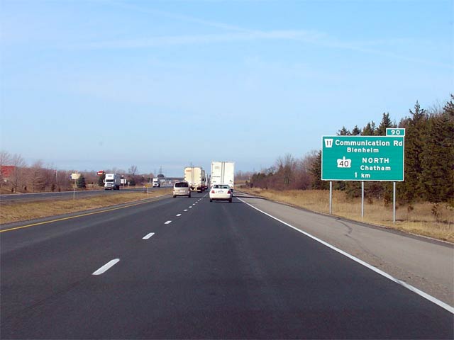
| Municipality of Chatham-Kent |
Exit signage for Highway 40 along the
westbound 401. Picture taken: March 17th, 2005. |
(720x480)
(1440x960) |
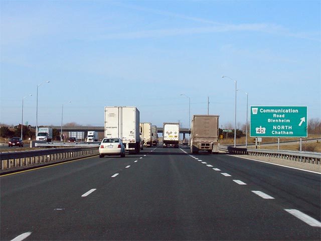
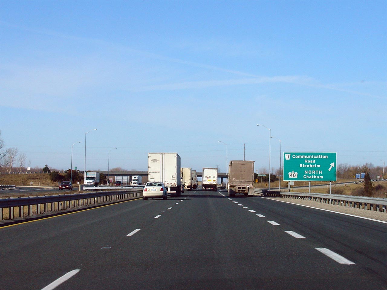
| Municipality of Chatham-Kent |
Advanced signage approaching the Highway 40
interchange along Highway 401. Picture taken: March 17th, 2005. |
(720x480)
(1440x960) |
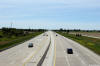
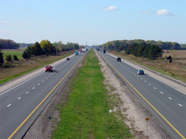
| Municipality of Chatham-Kent |
Looking west towards Chatham from the Harwich Road overpass. Harwich
Road is located roughly at kilometre marker 94. Picture taken: October
18th, 2005. |
(720x480)
(1440x960) |
| Municipality of Chatham-Kent |
Looking east towards London from the Harwich Road overpass. Picture taken:
October 18th, 2005. |
(720x480)
(1440x960) |
| Municipality of Chatham-Kent |
Looking westerly along Highway 401 towards Chatham and Windsor from the Mull
Road overpass. Picture taken: October 18th, 2005. |

(720x480)
(1440x960) |
| Municipality of Chatham-Kent |
This view looks easterly from the Mull Road overpass along Highway 401.
Mull Road is located roughly at kilometre marker 97. Picture taken:
October 18th, 2005. |
(720x480)
(1440x960) |
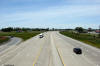
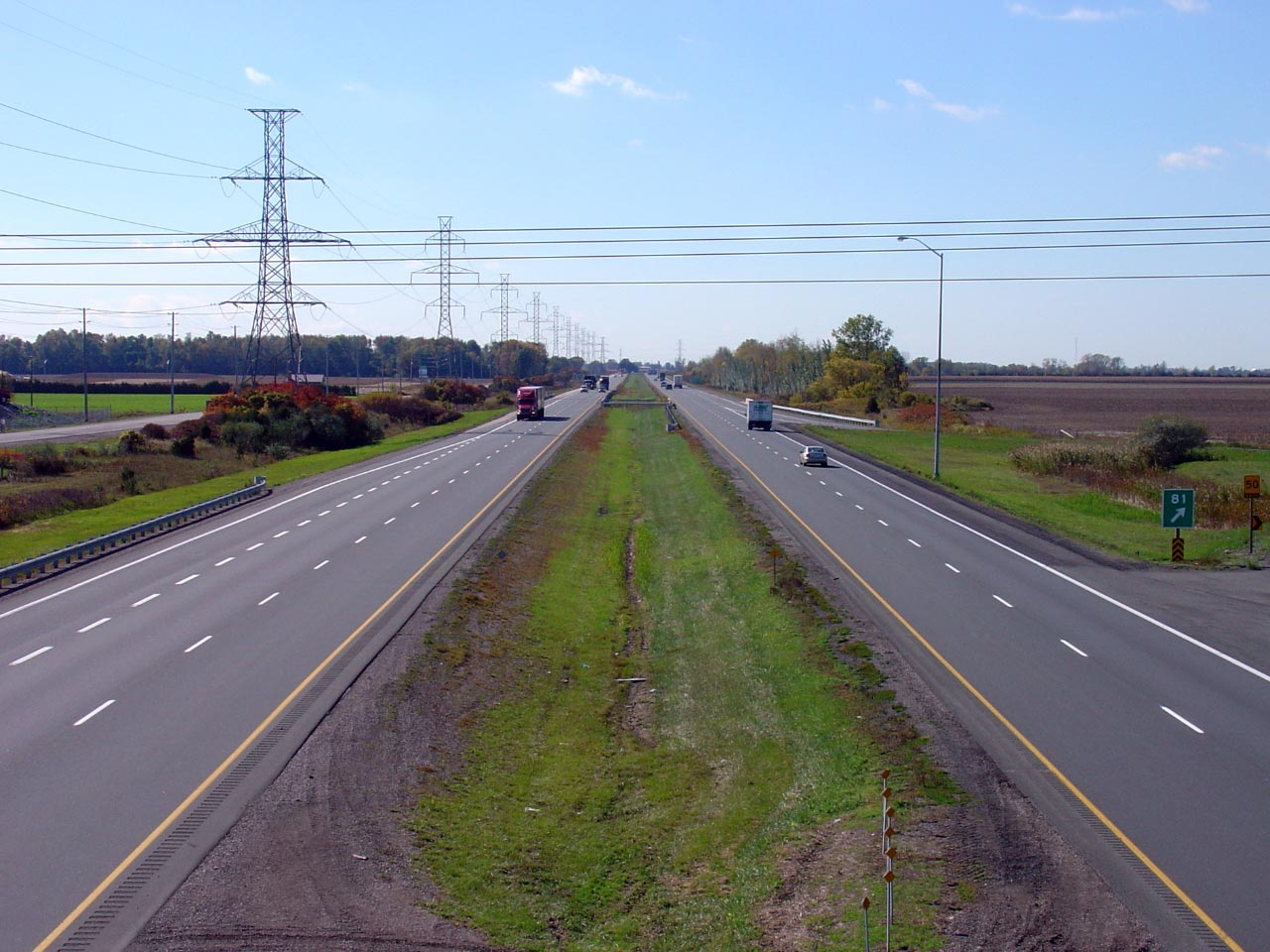
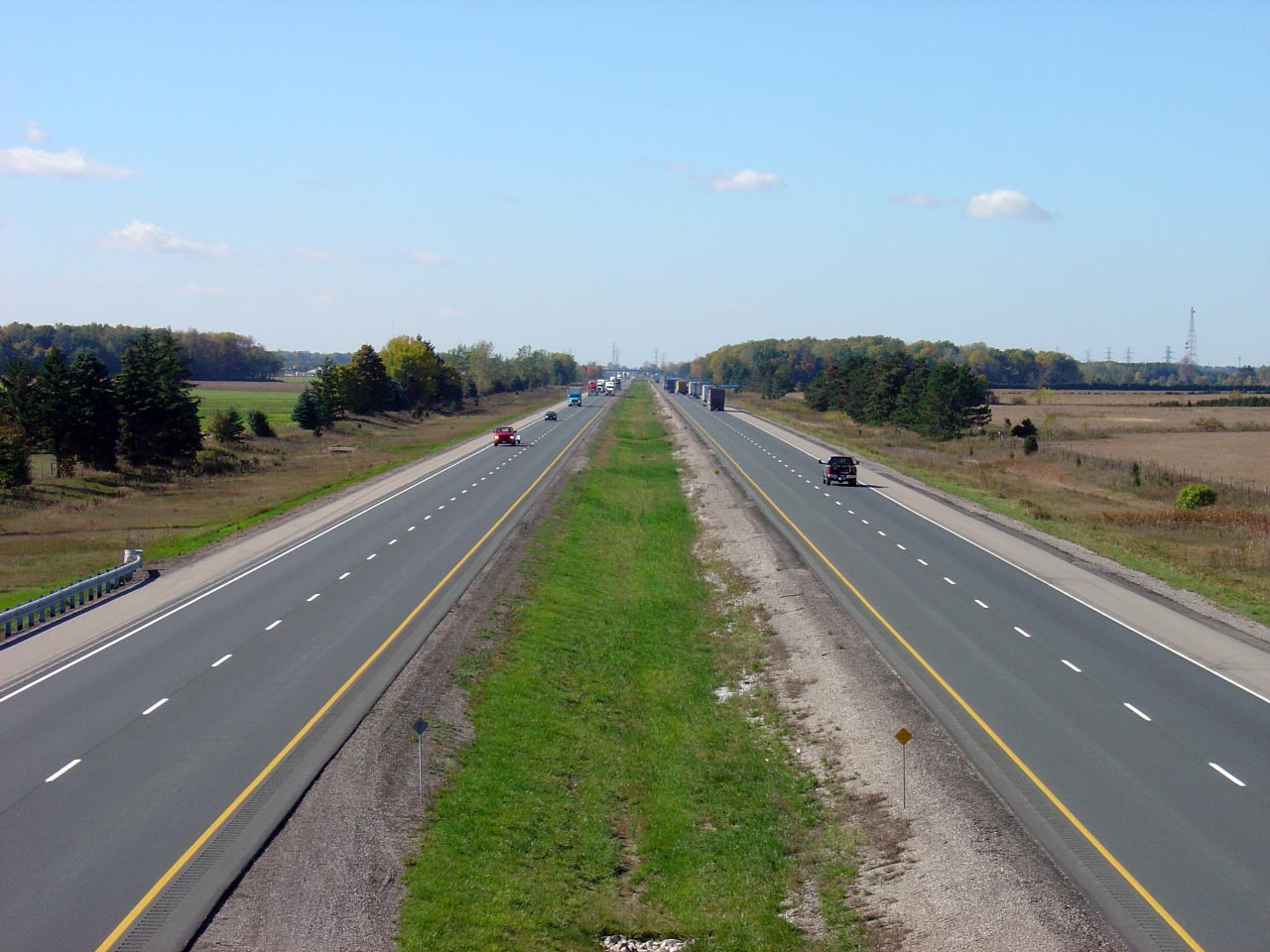
| Municipality of Chatham-Kent |
Looking westerly from the Kent Bridge Road overpass. Kent Bridge Road
is located at roughly kilometre marker 101. Picture taken: October 18th,
2005. |
(720x480)
(1440x960) |
| Municipality of Chatham-Kent |
Looking easterly along Highway 401 from the Kent Bridge Road overpass.
Picture taken: October 18th, 2005. |
(720x480)
(1440x960) |
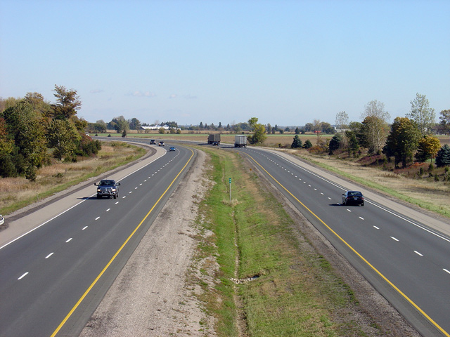
| Municipality of Chatham-Kent |
View looking west from the Scane Road overpass. The Scane Road
overpass was rehabilitated during the 2005 construction season. Picture
taken: October 18th, 2005. |
(720x480)
(1440x960) |
| Municipality of Chatham-Kent |
Looking east from the Scane Road overpass. Scane Road is located in
the vicinity of kilometre marker 105. Picture taken: October 18th, 2005. |

(720x480)
(1440x960) |
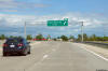
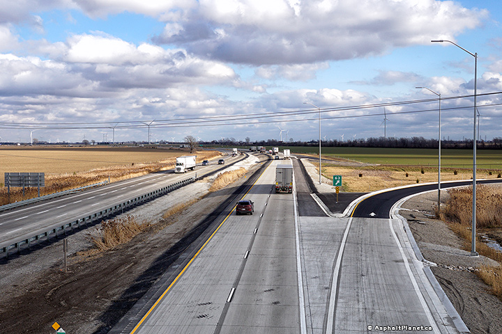
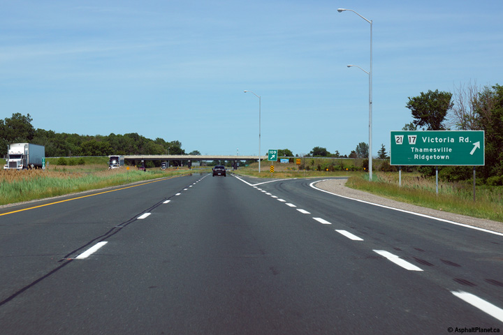
| Municipality of Chatham-Kent |
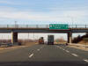
Eastbound advanced signage for the ramp to the former Highway 21.
Photo taken: June 15th, 2014. |
 (720x480) (720x480)
(1440x960)
(2400x1600) |
| Municipality of Chatham-Kent |
View as the ramp to the former Highway 21 departs from the eastbound lanes
of Highway 401.
Photo taken: June 15th, 2014. |
 (720x480) (720x480)
(1440x960)
(2400x1600) |
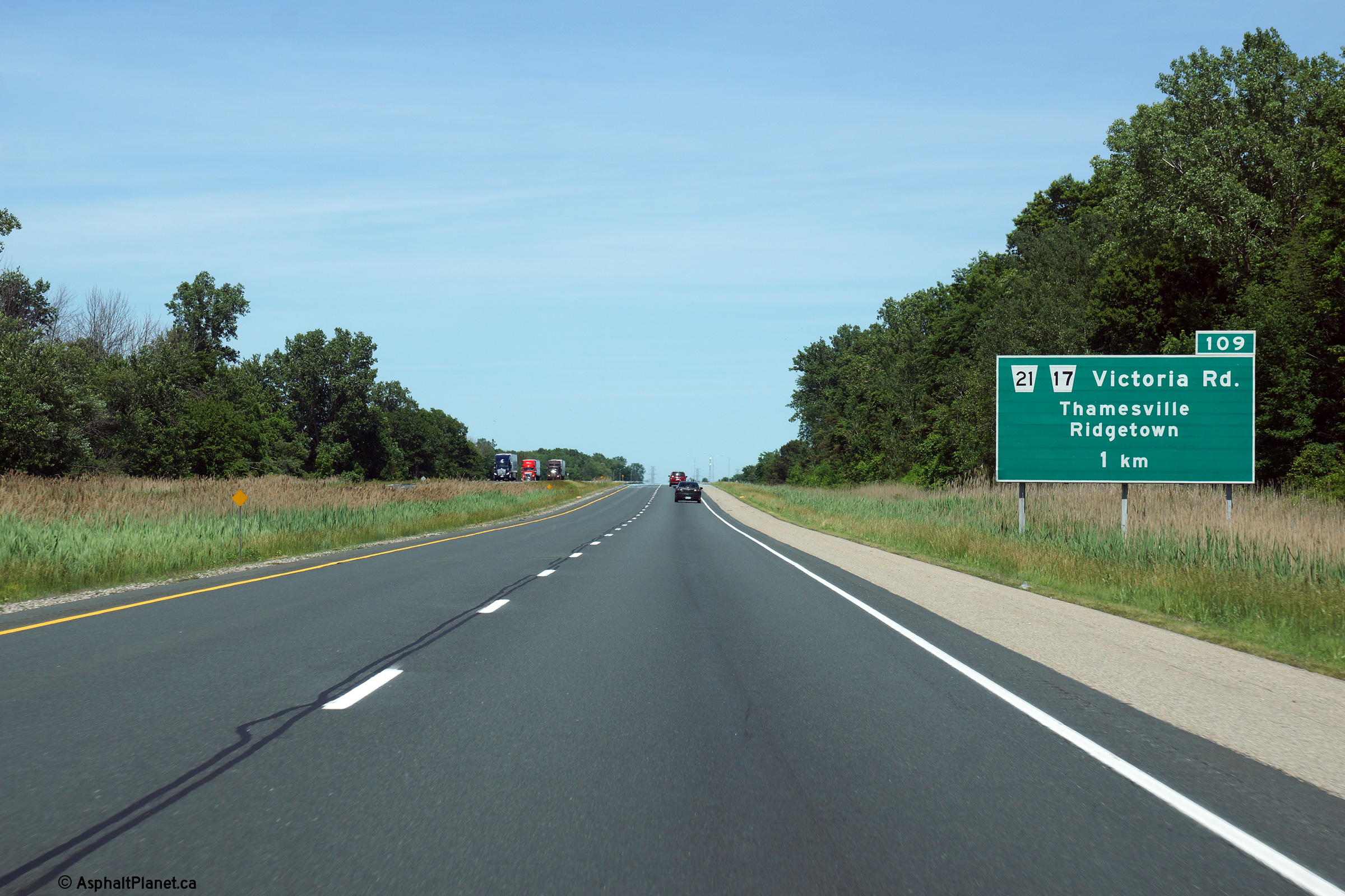
| Municipality of Chatham-Kent |
Looking west from the Highway 21 (now
Chatham-Kent Road 17/21) overpass. Highway
21 is located approximately at kilometre marker 109. Picture taken:
October 18th, 2005. |

(720x480)
(1440x960) |
|
Highway 21 runs the very long
distance from Highway 3 northerly to Owen Sound.
Click here for Highway 21 images. |
|
Click here for
London to Guelph Images |


 (720x480)
 (720x480)
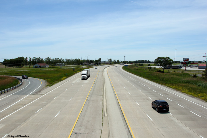
 (720x480)
 (720x480)
 (720x480)
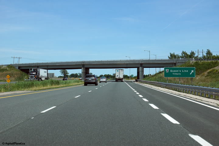 (720x480)


 (720x480)
 (720x480)
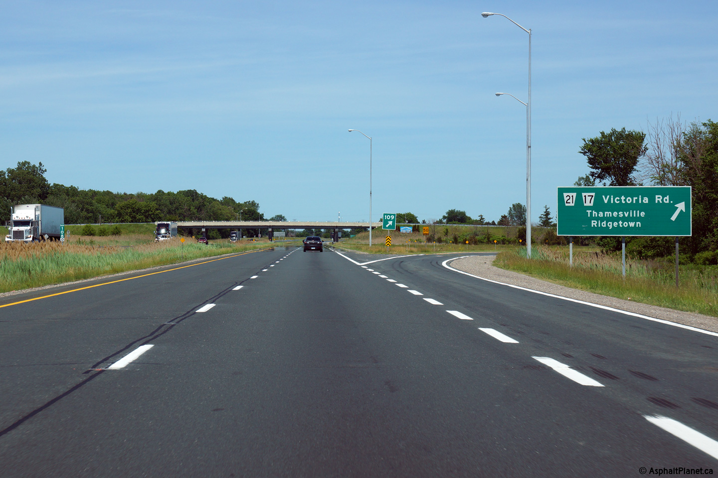
