|
Proper Municipality Name |
Photo Description
|
Photo
|
|
Pictures taken
from driver's perspective appear offset from centre-line pictures: |
East-
Bound
|
West-
Bound
|
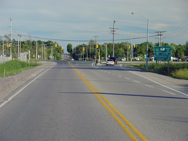
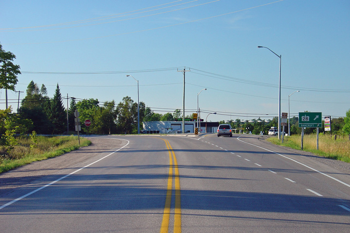
| Township of Asphodel- Norwood
County of Peterborough |
Looking south along Highway 28 towards its current southern terminus at
Highway 7. Highway 28 meets
Highway 7 about 7km east of
Highway 115
in Peterborough. Picture taken:
August 6th, 2005. Size: 50kb. |
 |
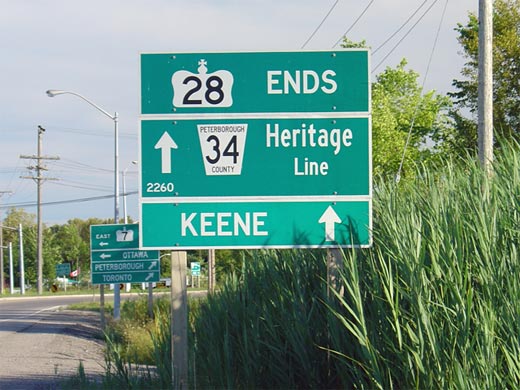
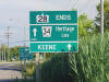
| Township of Asphodel- Norwood
County of Peterborough |
This sign assembly denotes the southern terminus of Highway 28 at the
Highway 7 and Peterborough Road 34 junction
located east of the City of Peterborough.
Before Summer 2003, this stretch of Highway 28 was part of
Highway 134.
Highway 134 was renumbered to 28 to improve the logic of the areas route
numbering.
Picture size: 55kb. |
 |
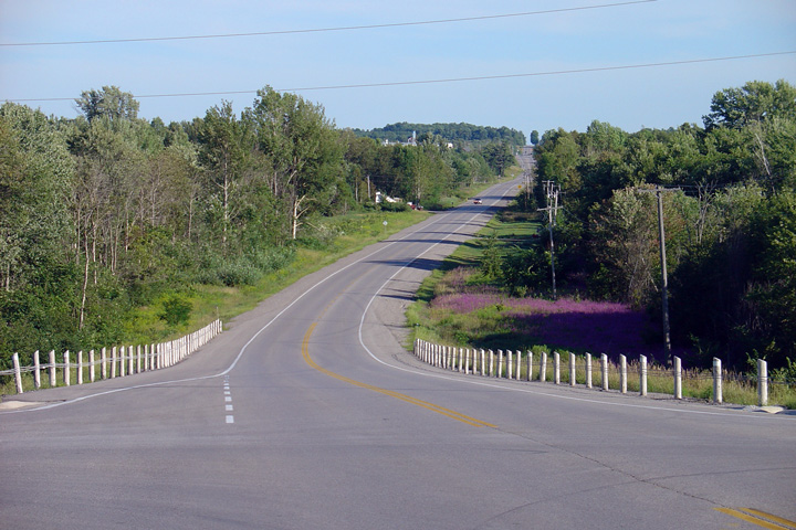
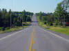
| Ashodel- Norwood - Douro- Dummer
Boundary County of Peterborough |
Looking south along Highway 28 from the Division Street intersection.
Division Street is located about 3km north of Highway 7.
Between Highway 7 and Division Street,
Highway 28 crosses the Havelock Subdivision of the CPR at an at-grade
crossing.
Picture taken: August 6th, 2005. Size: 55kb. |
 |
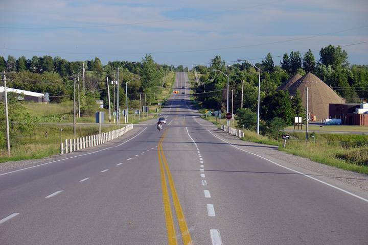
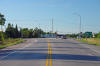
| Township of Douro- Dummer
County of Peterborough |
Looking north along Highway 28 towards the Five
Corners junction. Picture taken: August 6th, 2005. Size: 85kb. |
 |
| Township of Douro- Dummer
County of Peterborough |
Looking south towards the intersection with
Peterborough Road 4 at Five Corners. The intersection with
Peterborough Road 4 is controlled by a four-way stop. This four-way
stop causes a great deal of congestion during peak summer times, and should
be replaced by traffic signals. A northbound passing lane starts just
north of Peterborough Road 4.
Picture taken: August 6th, 2005. Size: 55kb. |
 |
| Township of Douro- Dummer
County of Peterborough |
Looking north towards the Peterborough Road 29
junction. At this intersection, northbound traffic must turn right to
continue along Highway 28. Peterborough Road 29 is in actuality the
pre-1998 routing of Highway 28, that went through both Downtown Peterborough
and Lakefield. During that time, this junction marked the northern
terminus of the now defunct Highway 134.
Picture taken: August 6th, 2005. Size: 45kb. |
 |