|
Proper Municipality Name |
Photo Description |
Photo |
|
Photos taken
from driver's perspective appear offset from centre-line Photos: |
South-
Bound |
North-
bound |
|
Photos continue westward on the
Wawa to Montreal River section |
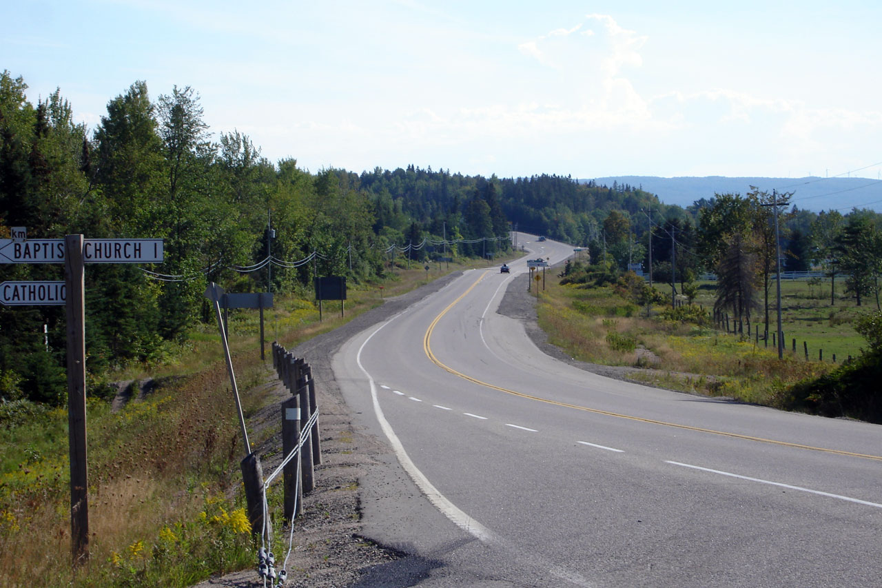
| District of Algoma |
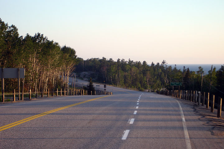
View looking southerly from the top of the Montreal River bridge. Photo
taken: July 1st, 2006. |

Low-res
High-res |
| District of Algoma |
Southbound passing lane starting just south of the Montreal River bridge.
Photo taken: July 2nd, 2006. |

Low-res
High-res |
| District of Algoma |
Highway 17 has a brief 4-lane section south of Montreal River Harbour where
two opposing passing lanes are situated opposite each other. Photo taken:
July 2nd, 2006. |

Low-res
High-res |
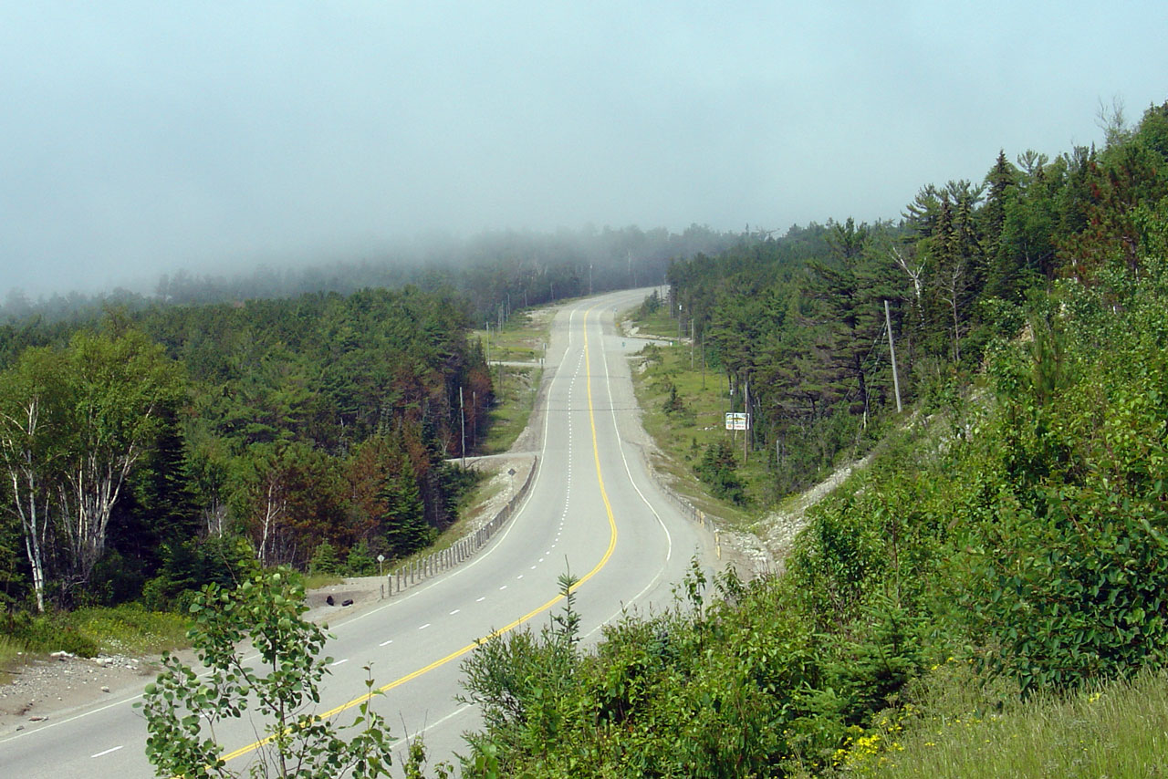
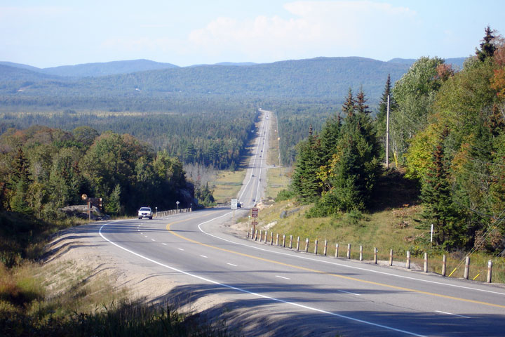
| District of Algoma |
This view looks northerly as Highway 17 ascends a long hill, a few
kilometres south of Montreal River. Photo taken: July 2nd, 2006. |
Low-res
High-res |
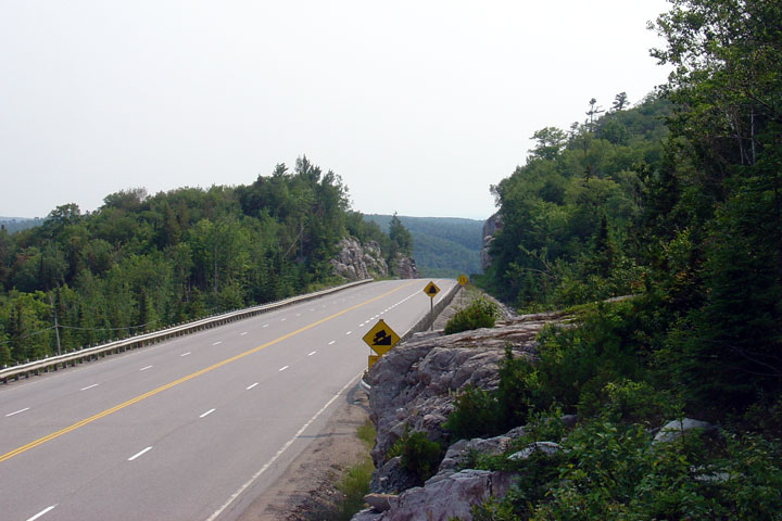
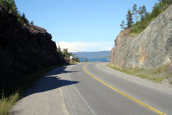
| District of Algoma |
The highway disappears beside a large rock cut. Photo taken: July 1st,
2006. |

Low-res
High-res |
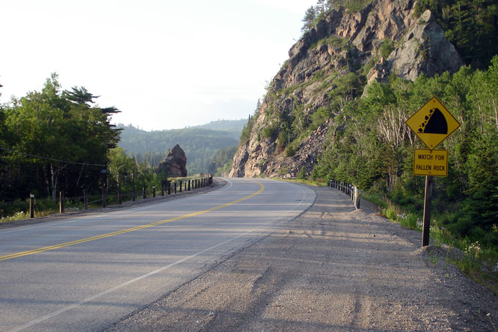
| District of Algoma |
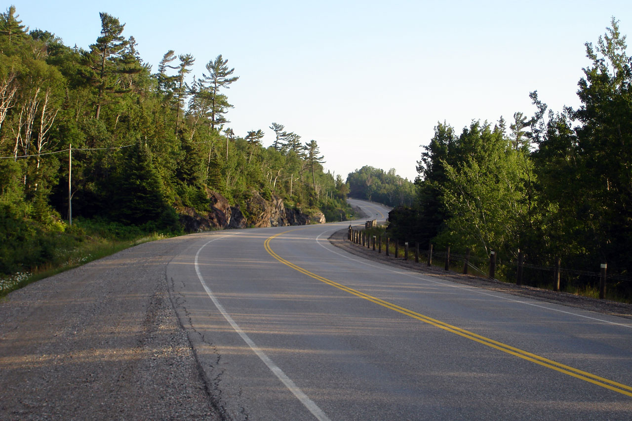
Reversing curve looking southerly along Highway 17. Photo taken: July 1st,
2006. |
Low-res
High-res |
|
Highway 563 leads south of
Highway 17 into the small community of Batchawana Bay. Click here for
Highway 563 images. |
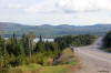
| District of Algoma |
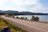
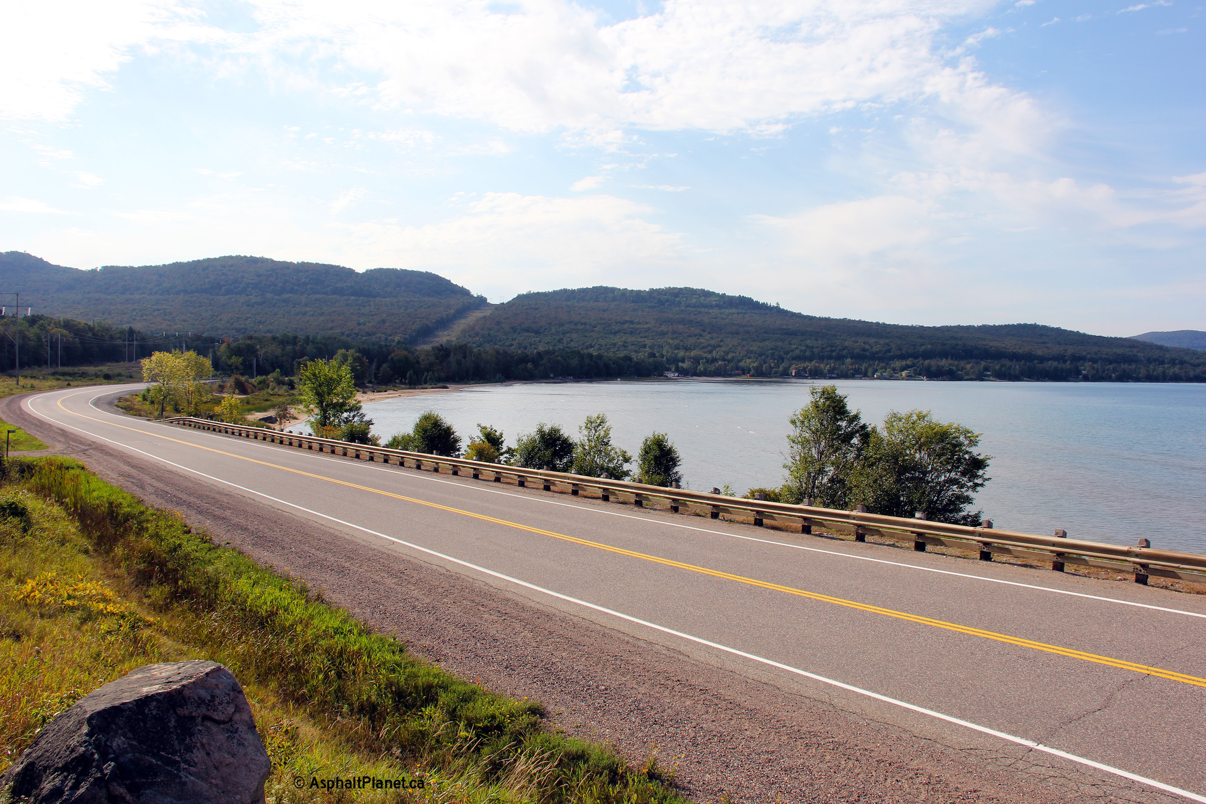
Southerly view as Highway 17 curves around a large bay of Lake Superior
north of Havilland Shores.
Photo taken: September 11th, 2012. |
(720x480)
(1440x960)
(2400x1600) |
| District of Algoma |
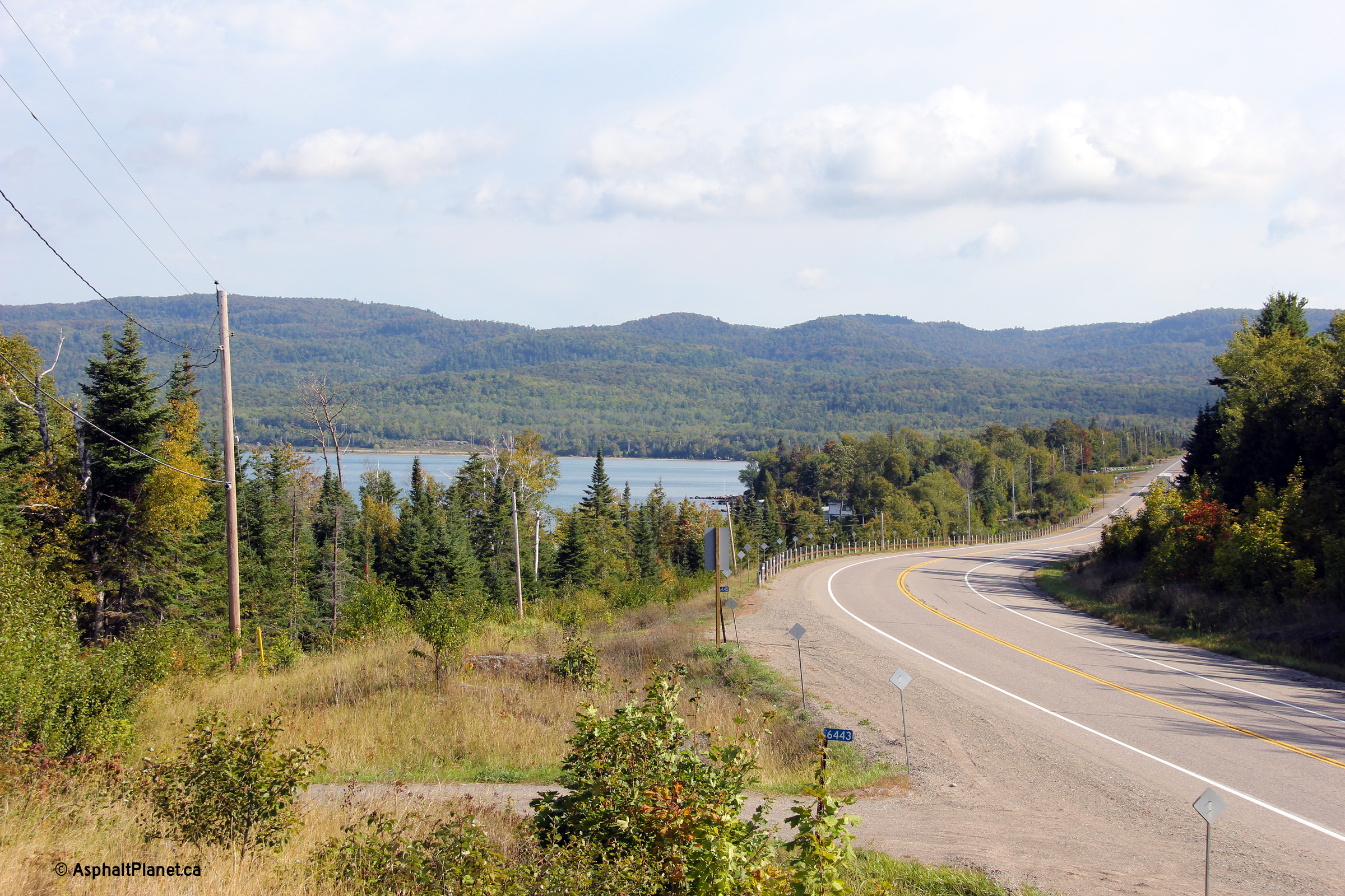
Two views looking northerly along Highway 17 at Irwin Island, north of
Havilland Shores. Highway 17 is skirting around the same large bay as
in the above photo, which was taken several kilometres to the north of this
vantage point.
Photos taken: September 11th, 2012. |
(720x480)
(1440x960)
(2400x1600)
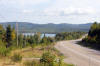
(720x480)
(1440x960)
(2400x1600) |
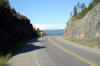
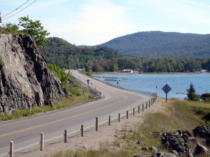
| District of Algoma |
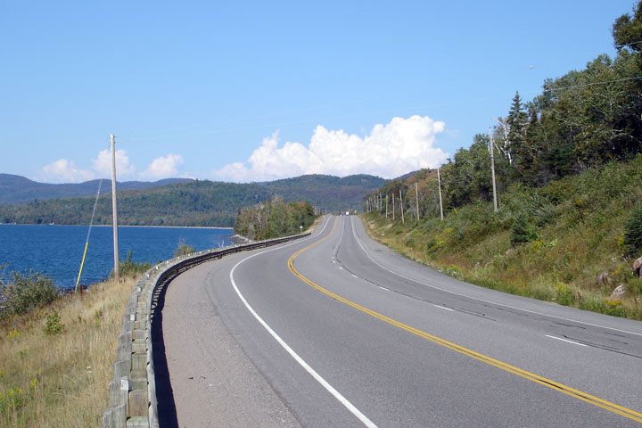
Scenic view of Highway 17 and the Lake Superior Shoreline from just north of
Havilland Shores. Photo taken: September 5th, 2006. |

Low-res
High-res |
| District of Algoma |
The highway was pushed through a large rock outcrop, just south of the
previous photo. Photo taken: September 5th, 2006. |
Low-res
High-res |
| District of Algoma |
Facing south towards Havilland Shores. Photo taken: September 5th, 2006. |

Low-res
High-res |
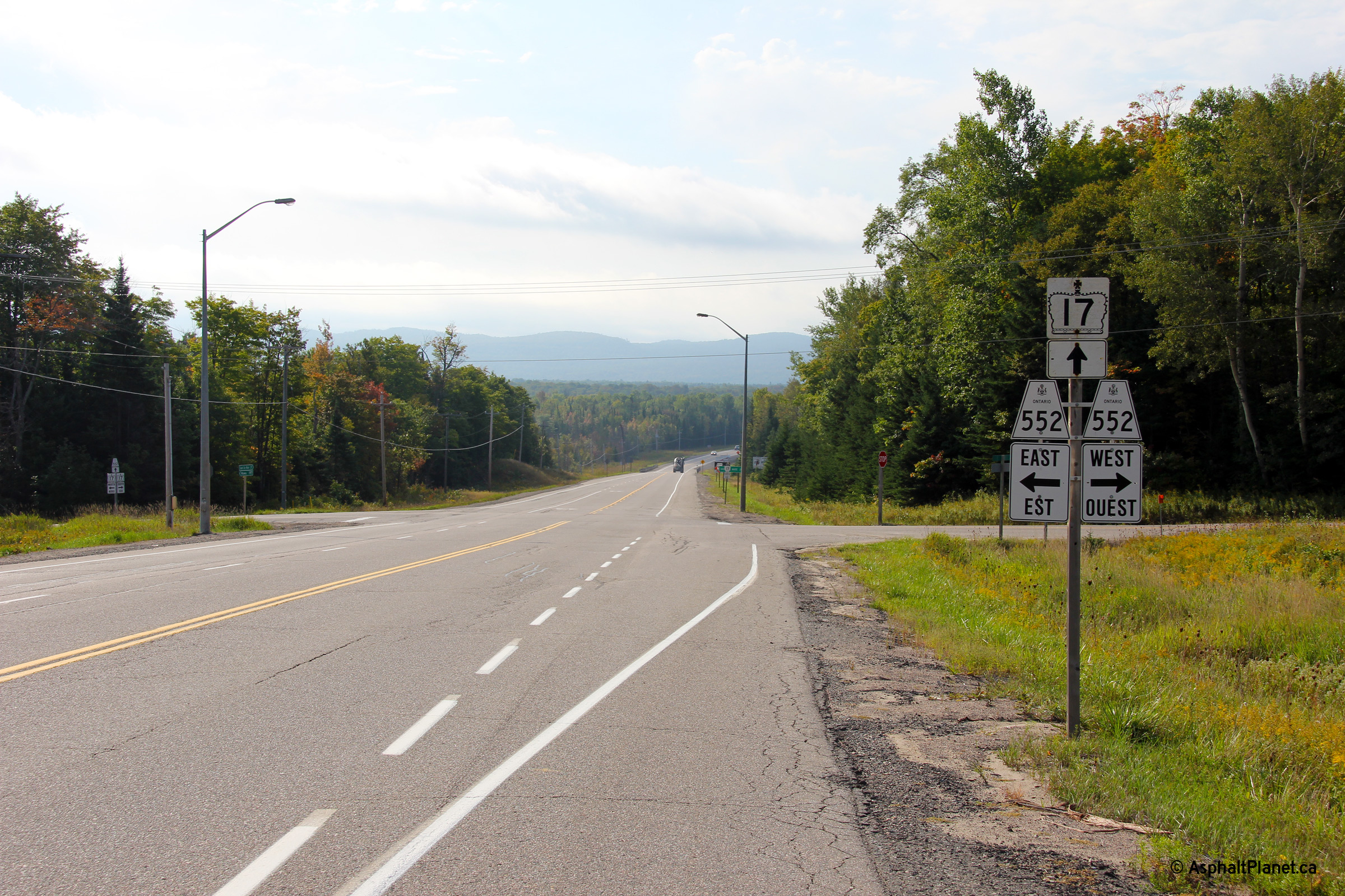
| District of Algoma |
This view looks southerly through the Highway 552 junction north of the
Goulais River.
Photo taken: September 11th, 2012. |
 (720x480) (720x480)
(1440x960)
(2400x1600) |
|
Highway 552 leads leads both east
and west of Highway 17 Between Goulais Bay and Island Lake.
Click here
for Highway 552 images. |
| District of Algoma |
Southerly view of Highway 17 looking south from Old Highway 17 Road, just
north of Goulais Bay. Photo taken: September 5th, 2006. |

Low-res
High-res |
| District of Algoma |
Looking north down a rather large hill, just north of Highway 556. Photo
taken: September 5th, 2006. |

Low-res
High-res |
| District of Algoma |
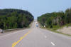
View looking southerly approaching the Highway 556 intersection.
Highway 556 is one of Algoma District's longer secondary highways, carrying
traffic through a particularly desolate portion of Algoma District between
Highway 17 and Highway 129.
Photo taken: September 11th, 2012. |
 (720x480) (720x480)
(1440x960)
(2400x1600) |
|
Highway 556 heads north of
Highway 17, eventually heading all the way to Highway 129.
Click here
for Highway 556 images. |
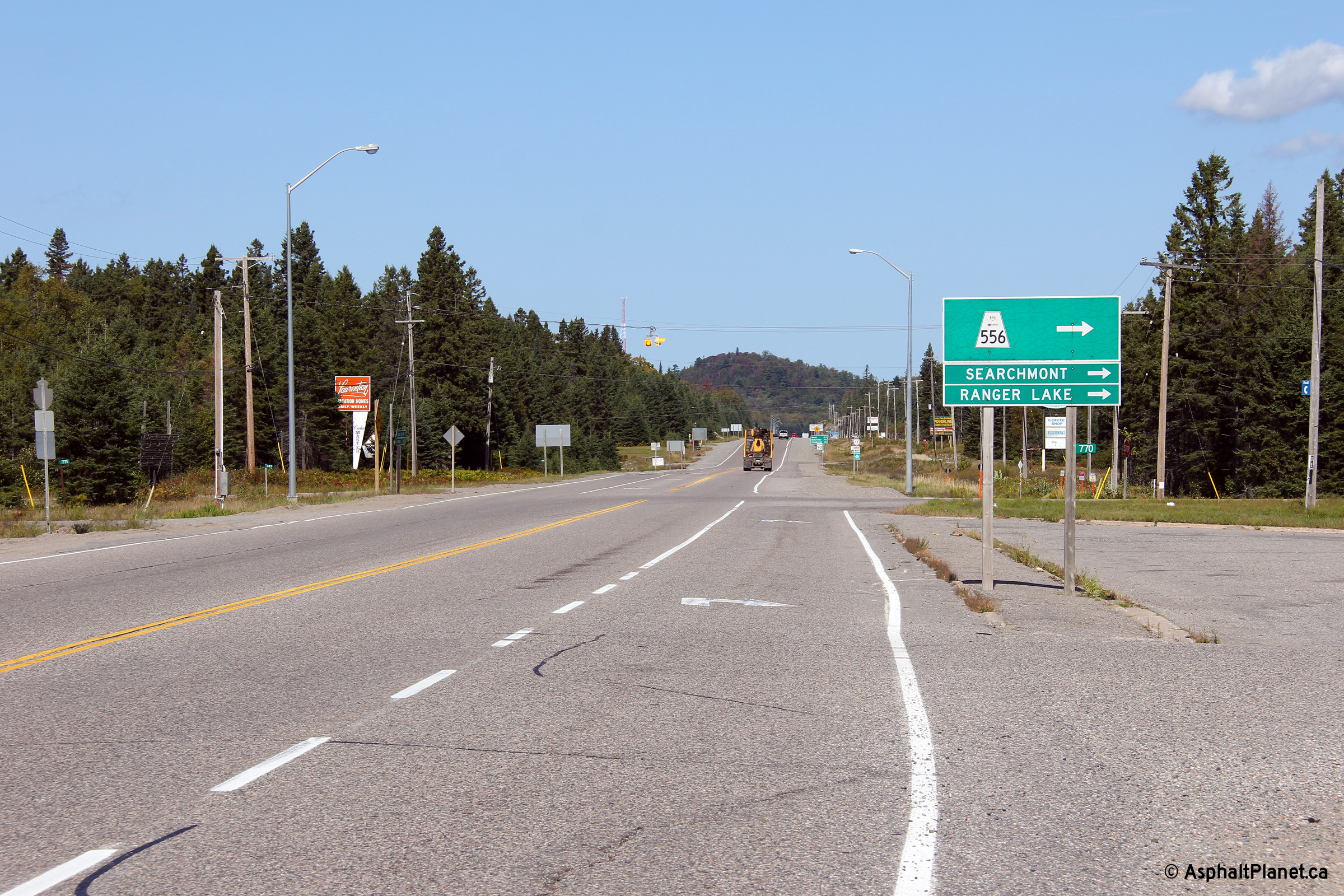
| District of Algoma |
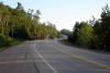
Northerly view at the Highway 556 intersection. Highway 556 is one of
the more important junctions along Highway 17 between Wawa and Sault Ste.
Marie.
Photo taken: September 11th, 2012. |
 (720x480) (720x480)
(1440x960)
(2400x1600) |
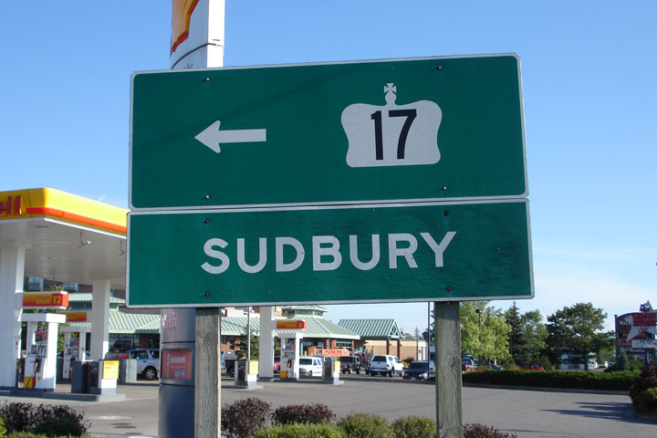
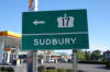
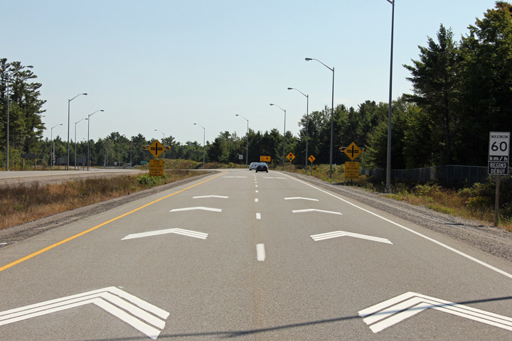
| City of Sault Ste. Marie |
Green sign directing through traffic towards Sudbury at the end of the Great
Northern Road at Second Line in Sault Ste. Marie. Photo taken: September
5th, 2006. |
 |
|
Highway
17 meets Highway 550, and Highway 17B in Sault Ste. Marie. Click here
for Highway 17B images, and here for Highway 550 images. |
|
Images
continue easterly along Sault Ste. Marie to Bruce Mines Images. |


 (720x480)

 (720x480)
 (720x480)
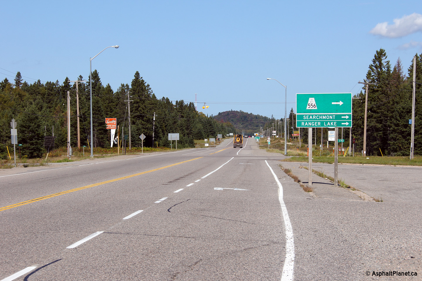