|
Proper Municipality Name |
Photo Description |
Photo |
|
Pictures taken
from driver's perspective appear offset from centre-line pictures: |
East-
bound |
West-
bound |
|
Pictures continue westward from
Page 3B Images |
| Township of Huron Shores
District of Algoma |
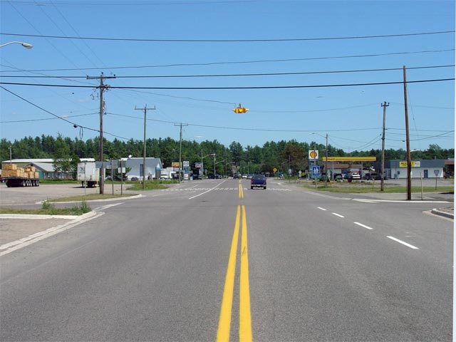
Highway 17 looking east through Iron Bridge. To the left at the
intersection shown in this photo is Highway 546. Picture taken: July 3rd, 2005. Size: 50kb. |
 |
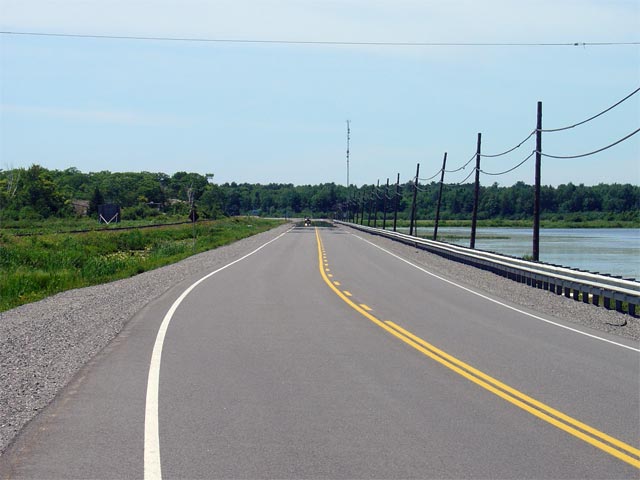
| Town of Blind River District of
Algoma |
Looking westerly along Highway 17 from just west of Blind River.
Highway 17 follows the west arm of the Blind River (seen in the right of the
photo) for a short distance west of town. Picture taken: July 3rd, 2005.
Size: 45kb. |
 |
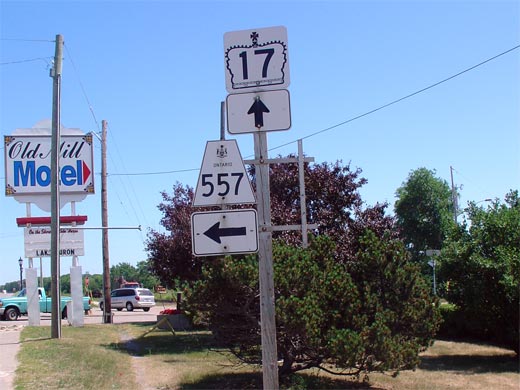
| Town of Blind River District of
Algoma |
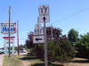
Junction assembly for the Highway 17/557 junction. Highway 557 is a
short highway that leads north from Blind River heading to Matinenda Lake.
Picture size: 50kb. |
 |
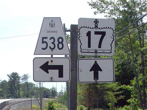
| Township of North Shore
District of Algoma |
Sign assembly for Highway the western
Highway 538 junction taken from
westbound Highway 17.
Highway 538 is actually an old abandoned
alignment of Highway 17. Since there is no lower-tiered government to
maintain this road, this abandoned alignment has remained a provincial
highway until this date.
Click here for Highway 538 Images.
Picture size: 45kb. |
 |
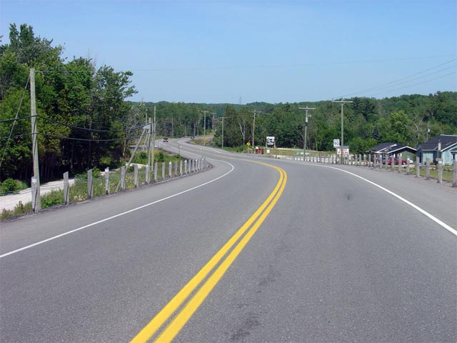
| Township of North Shore
District of Algoma |
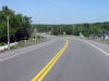
Highway 17 looking east from the western
Highway 538 junction.
Highway 538 is located approximately 10km east of Highway 557 at Blind River.
Though not pictured in this photo, approximately 1km ahead there is a short
4-lane section where both an east- and west-bound passing lane have been
constructed.
Picture taken: July 3rd, 2005. Size: 55kb. |
 |
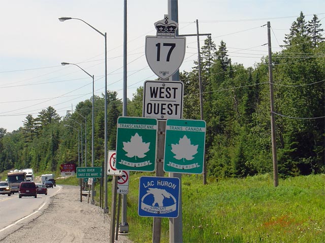
| Township of the North Shore
District of Algoma |
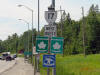
This has to be one of most complicated reassurance markers in the province.
This sign represents some of the problems that bilingualism poses in
Ontario. This sign is located just west of
Highway 108 near Serpent River. This
sign has recently been replaced with a less cluttered assembly.
Picture size: 80kb. |
 |
|
Highway 108 leads traffic
northerly towards Elliott Lake and beyond.
Click here for Highway
108 images. |
|
Click here for Verner to North Bay Images. |