|
Proper Municipality Name |
Photo Description |
Photo |
|
Pictures taken
from driver's perspective appear offset from centre-line pictures: |
East-
bound |
West-
bound |
|
Pictures continue westward from
Page 3A Images |
|
Highway 548 is a loop highway
that encircles St. Joseph Island.
Click here for Highway
548 images. |
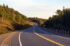
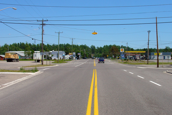
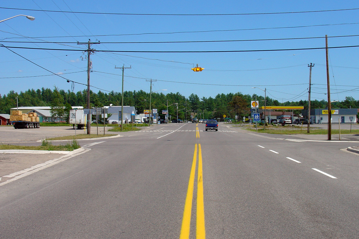
Township of Tarbutt & Tarbutt
Additional
District of Algoma |
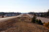
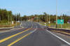
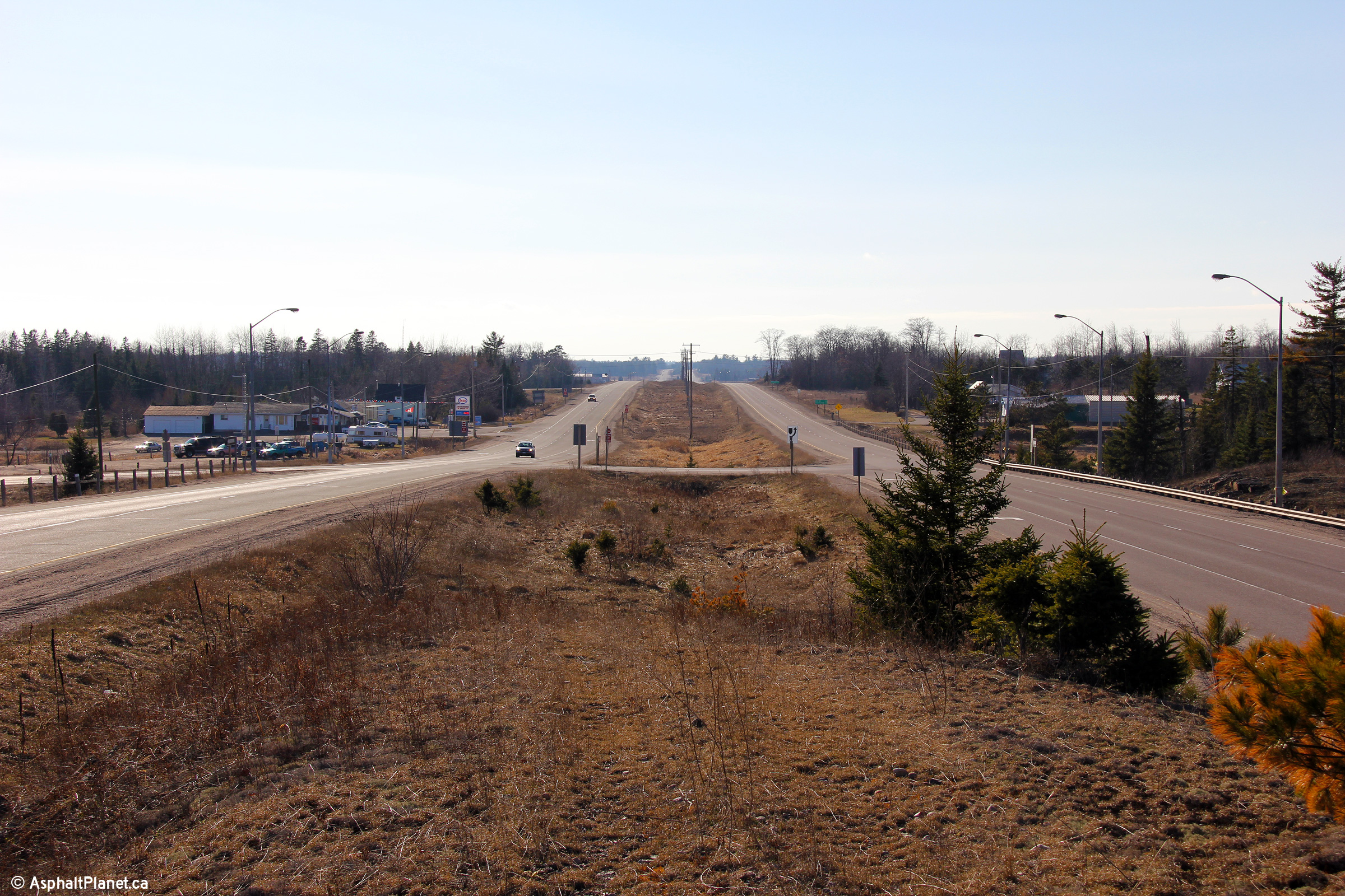
Two views looking westerly towards the Highway 548 intersection.
Photos taken: April 3rd, 2012. |
(720x480)
(1440x960)
(2400x1600)
(720x480)
(1440x960)
(2400x1600) |
Township of Tarbutt & Tarbutt
Additional
District of Algoma |
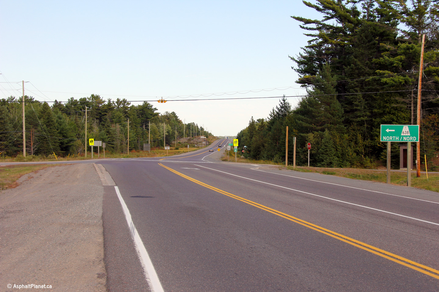
Advanced signage for the left hand turn to Highway 548 and St. Joseph
Island.
Photo taken: April 3rd, 2012. |
 (720x480) (720x480)
(1440x960)
(2400x1600) |
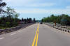
Township of Tarbutt & Tarbutt
Additional
District of Algoma |
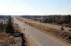
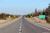
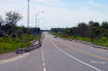
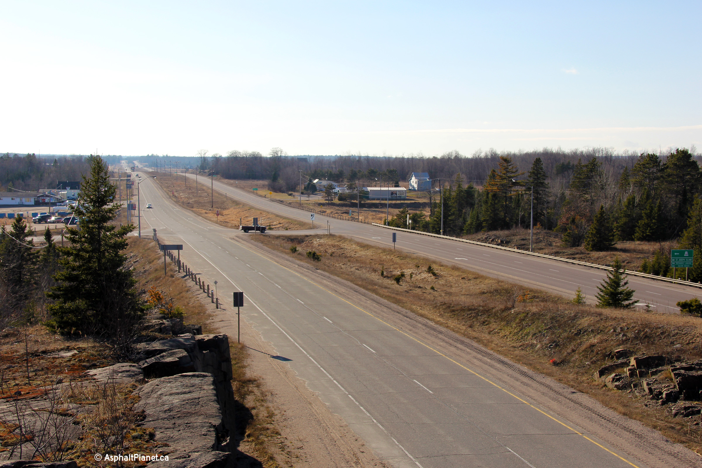
Two easterly views from just east of the Highway 548 junction. As is
evident from the photos, the divided highway ends just east of the Highway
548 junction. Highway 17 remains as a two lane highway from this point
easterly for over 200km until the highway resumes as a freeway west of
Sudbury.
Photos taken: April 3rd, 2012. |
(720x480)
(1440x960)
(2400x1600)

(720x480)
(1440x960)
(2400x1600) |
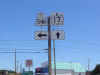
Township of Tarbutt & Tarbutt
Additional
District of Algoma |
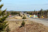
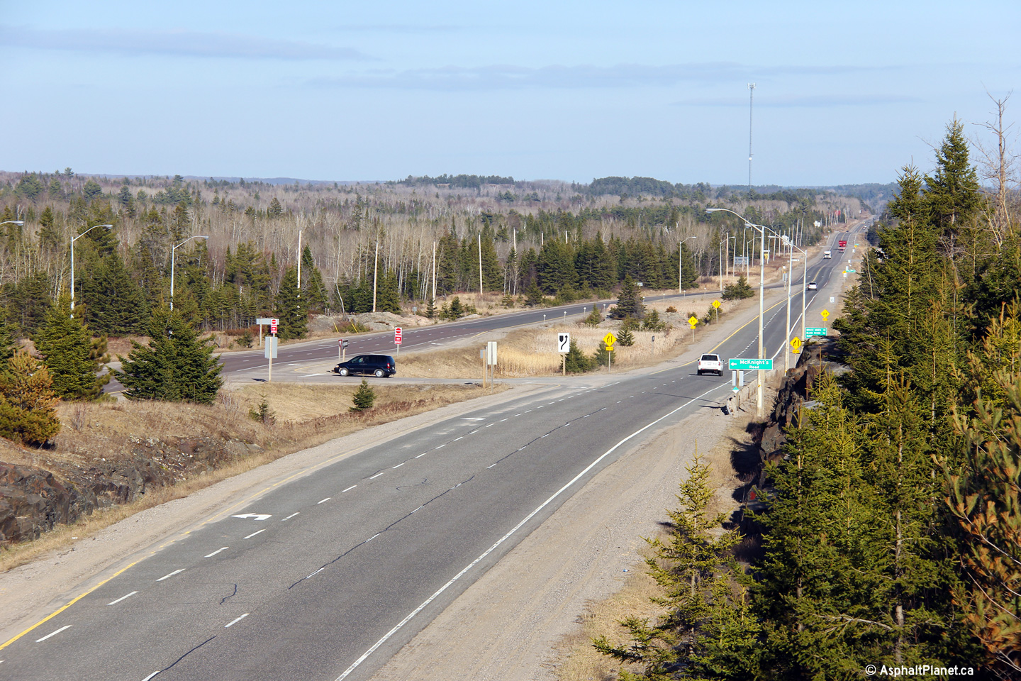
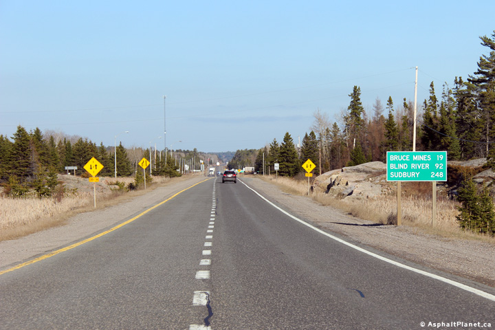
Distance signage indicating several of the next major communities accessible
from Highway 17 as the highway narrows to a single lane in each direction.
Photo taken: April 3rd, 2012. |
 (720x480) (720x480)
(1440x960)
(2400x1600) |
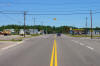
Township of Tarbutt & Tarbutt
Additional
District of Algoma |
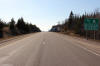
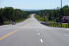
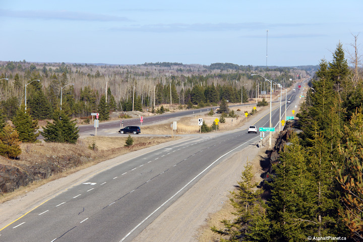
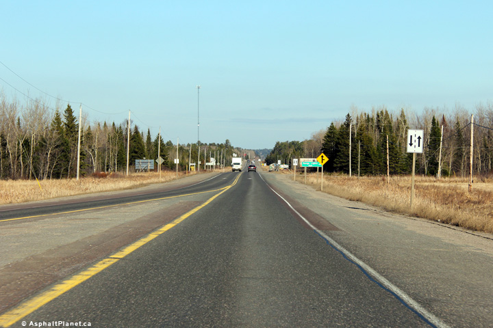
Easterly view at the end of the divided highway. Highway 17 is an
undivided arterial highway from this point easterly for nearly 200km until
west of Sudbury.
Photo taken: April 3rd, 2012. |

(720x480)
(1440x960)
(2400x1600) |
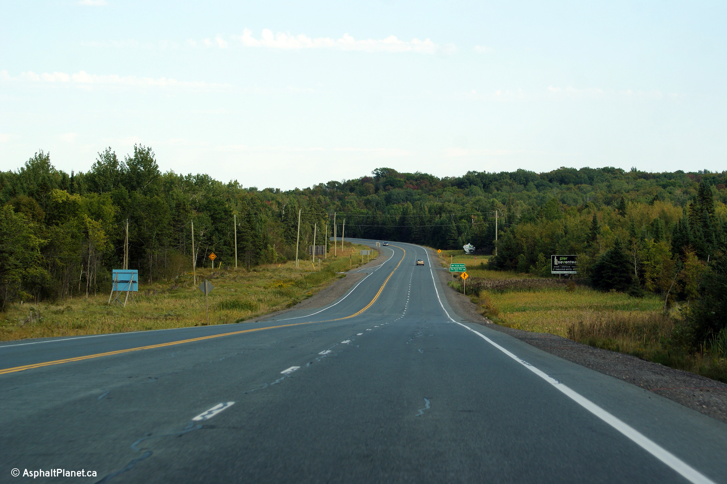
Town of Bruce Mines
District of Algoma |
Easterly view at the Highway 638 intersection in Bruce Mines. Highway
638 is somewhat of an alternate to Highway 17 through this part of Algoma
District. Highway 638 follows an inland route that is considerably
more rugged.
Photo taken: September 11th, 2012. |
(720x480)
(1440x960)
(2400x1600) |
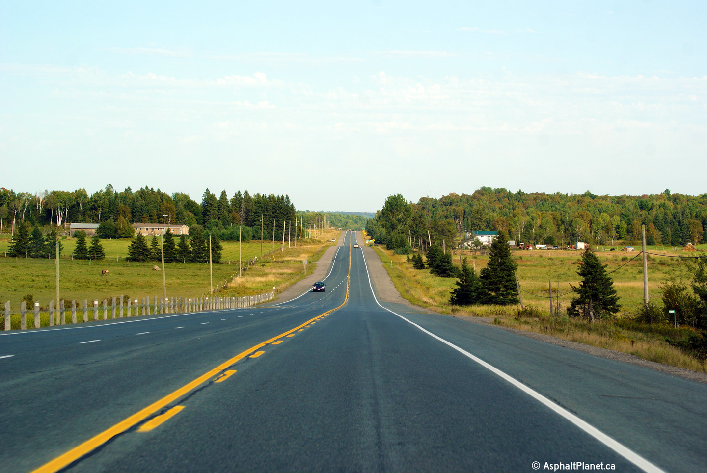
Township of Plummer Additional
District of Algoma |
Easterly view about 7 km east of Bruce Mines.
Photo taken: September 11th, 2012. |
(720x480)
(1440x960)
(2400x1600) |
Township of Plummer Additional
District of Algoma |
This photo looks easterly approaching the Braniff Road intersection along
Highway 17 between Bruce Mines and Thessalon.
Photo taken: September 11th, 2012. |

(720x480)
(1440x960)
(2400x1600) |
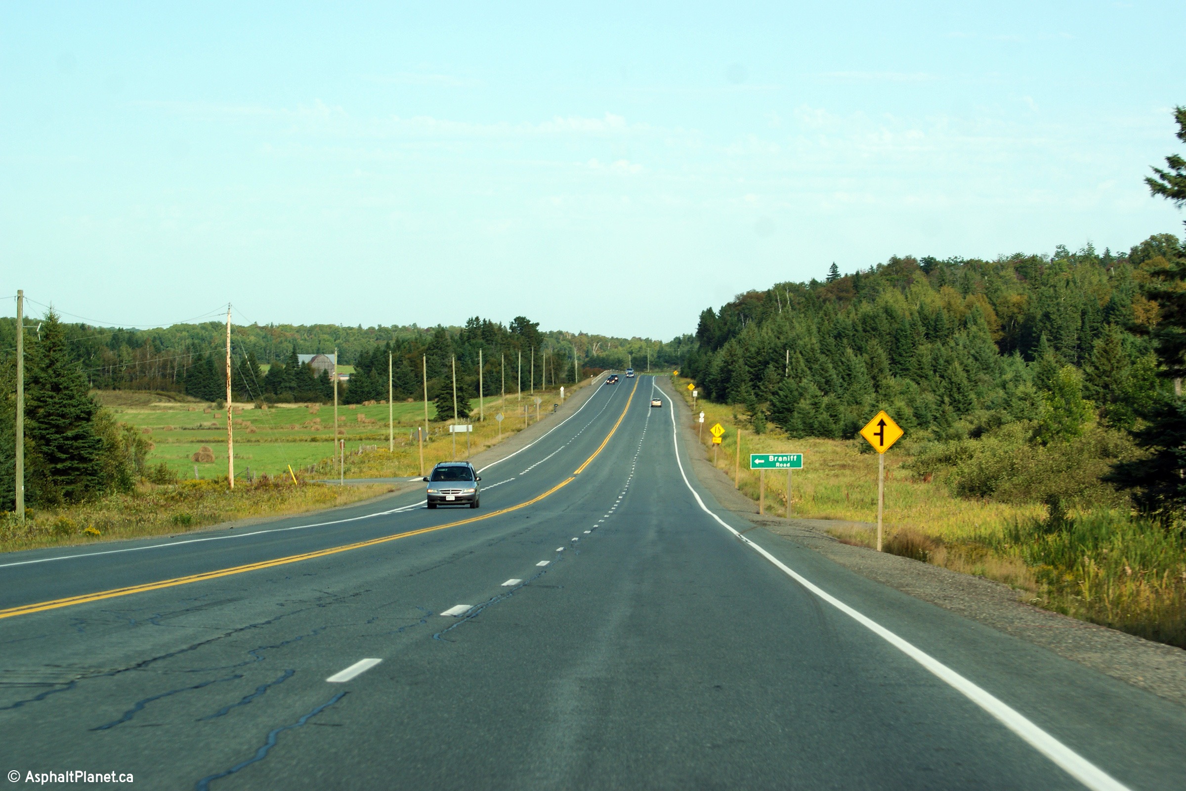
Township of Plummer Additional
District of Algoma |
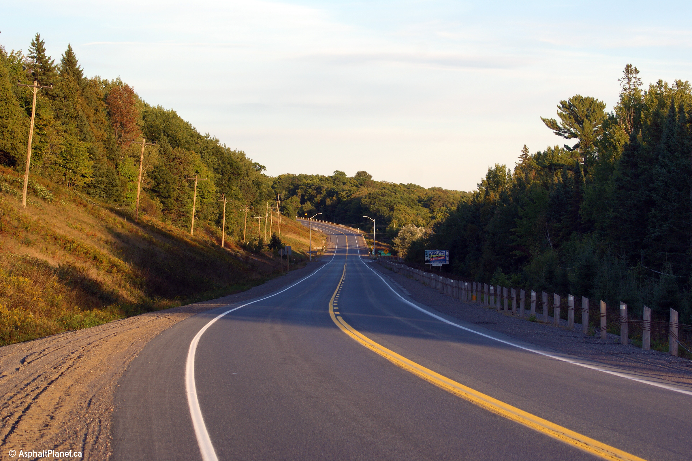
Easterly view along Highway 17 from just east of the Braniff Road
intersection. Highway 17 passes through scenic agricultural land
through this part of northern Ontario.
Photo taken: September 11th, 2012. |

(720x480)
(1440x960)
(2400x1600) |
| Township of Thessalon District of Algoma |
Opposing passing lanes give Highway 17 a very brief four lane section.
This view looks easterly about 5km west of Thessalon.
Photo taken: September 11th, 2012. |

(720x480)
(1440x960)
(2400x1600) |
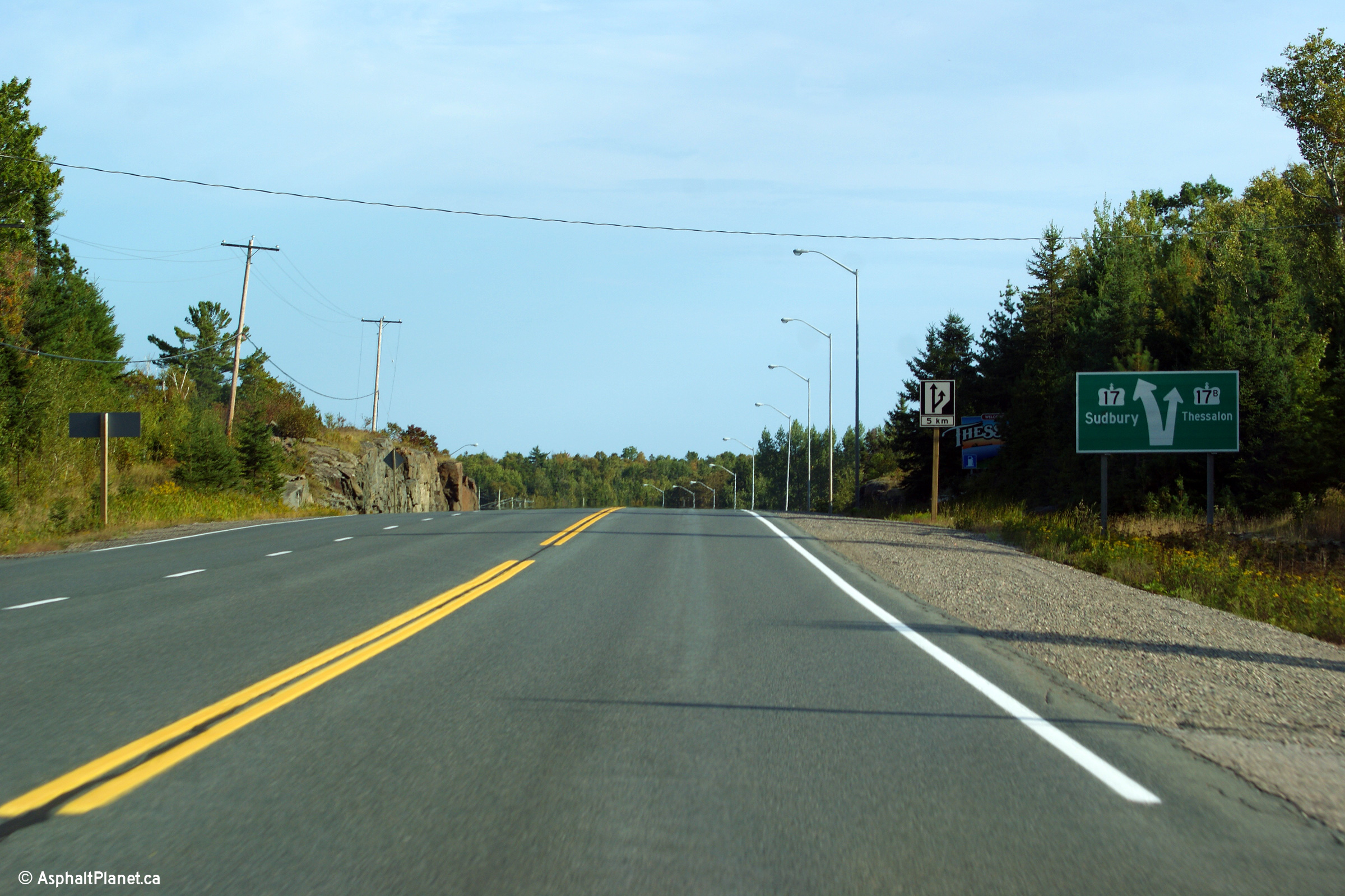
| Township of Thessalon District of Algoma |
Easterly view approaching the Highway 17B intersection in Thessalon.
Diagram signs such as this are quite rare along two-lane provincial highways
in Ontario.
Photo taken: September 11th, 2012. |
(720x480)
(1440x960)
(2400x1600) |
| Township of Thessalon District of Algoma |
Easterly view approaching the Highway 129 junction in Thessalon.
Photo taken: September 11th, 2012. |
(720x480)
(1440x960)
(2400x1600) |
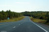
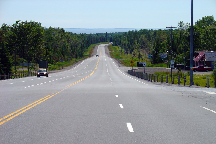
| Township of Thessalon District of Algoma |
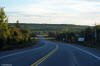
Highway 17 looking west from the
Highway 129 intersection; the intersection is located just north of the
community of Thessalon. This is a fairly typical looking view of
Highway 17 between Desbarats and Sudbury.
Photo taken: July 2nd, 2004. |
(720x480)
(1440x960) |
|
Highway 129 leads northerly
from Thessalon through the lonely Algoma Highlands bound for Chapleau.
Click here for Highway
129 images. |
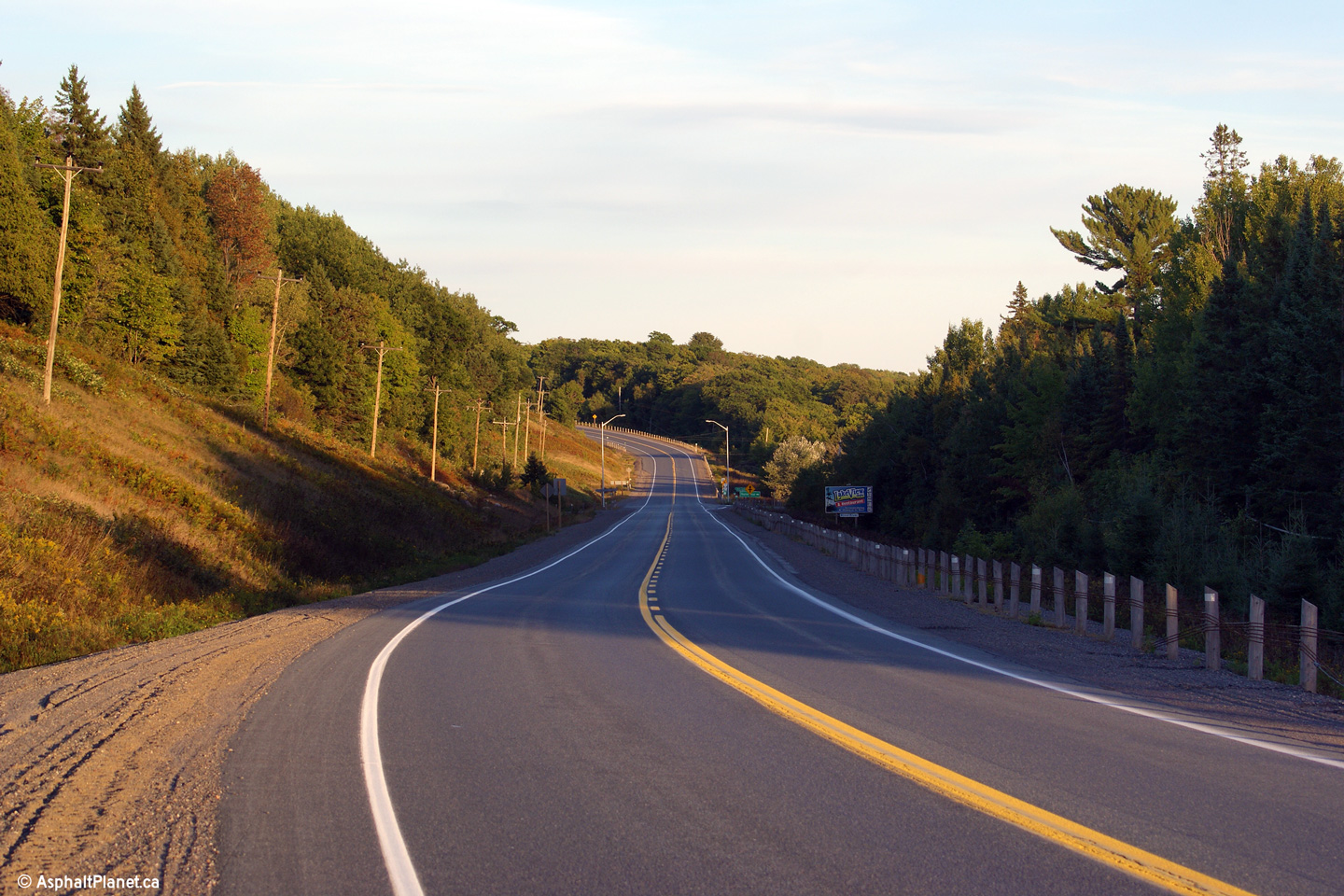
| Township of Thessalon District
of Algoma |
Highway 17 looking west from Brownlee Road. Brownlee Road is located
roughly 10 km east of Highway 129 at
Thessalon. Passing lanes are very frequent on Highway 17 between Sault
Ste. Marie and North Bay.
Photo taken: July 2nd, 2004. |
(720x480)
(1440x960) |
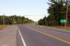
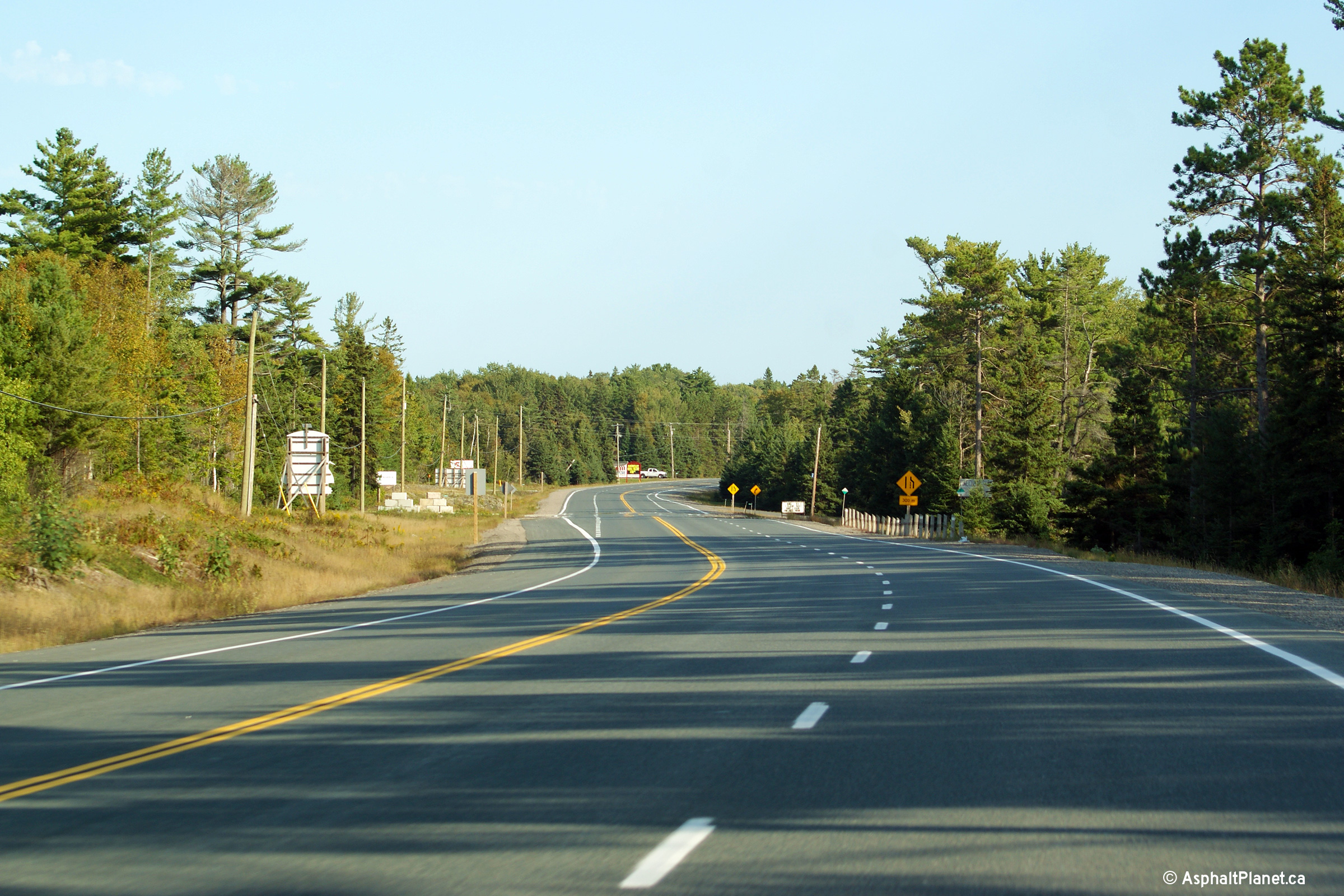
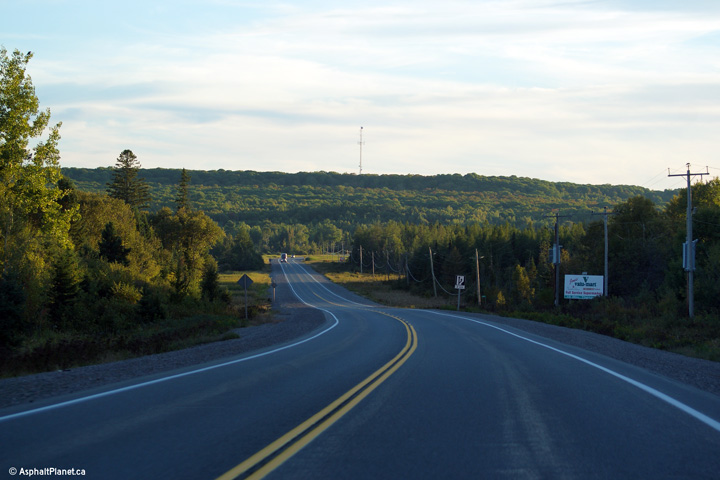
| Township of Huron Shores
District of Algoma |
This view looks westerly along Highway 17 from just west of Soweby about
halfway between Thessalon and Iron Bridge.
Photo taken: September 10th, 2012. |
(720x480)
(1440x960)
(2400x1600) |
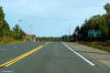
| Township of Huron Shores
District of Algoma |
This view looks easterly towards the Dayton Road intersection between
Thessalon and Iron Bridge.
Photo taken: September 10th, 2012. |
(720x480)
(1440x960)
(2400x1600) |
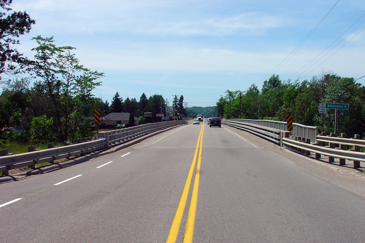
| Township of Huron Shores
District of Algoma |
Highway 17 looking west across the Mississagi River bridge. The
Mississagi River cuts directly through the centre of the small community of
Iron Bridge. Iron Bridge is a full service community of about 700
residents. Highway 17 has a posted speed limit of 60km/h throughout
Iron Bridge.
Photo taken: July 3rd, 2005. |
(720x480)
(1440x960) |
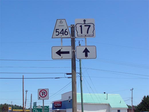
| Township of Huron Shores
District of Algoma |
Junction assembly for Highway 546 in Iron Bridge. Highway 546 is a long and
desolate secondary highway that leads travelers northeasterly, deep into the
Algoma Highlands.
Photo taken: July 3rd, 2005. |
 |
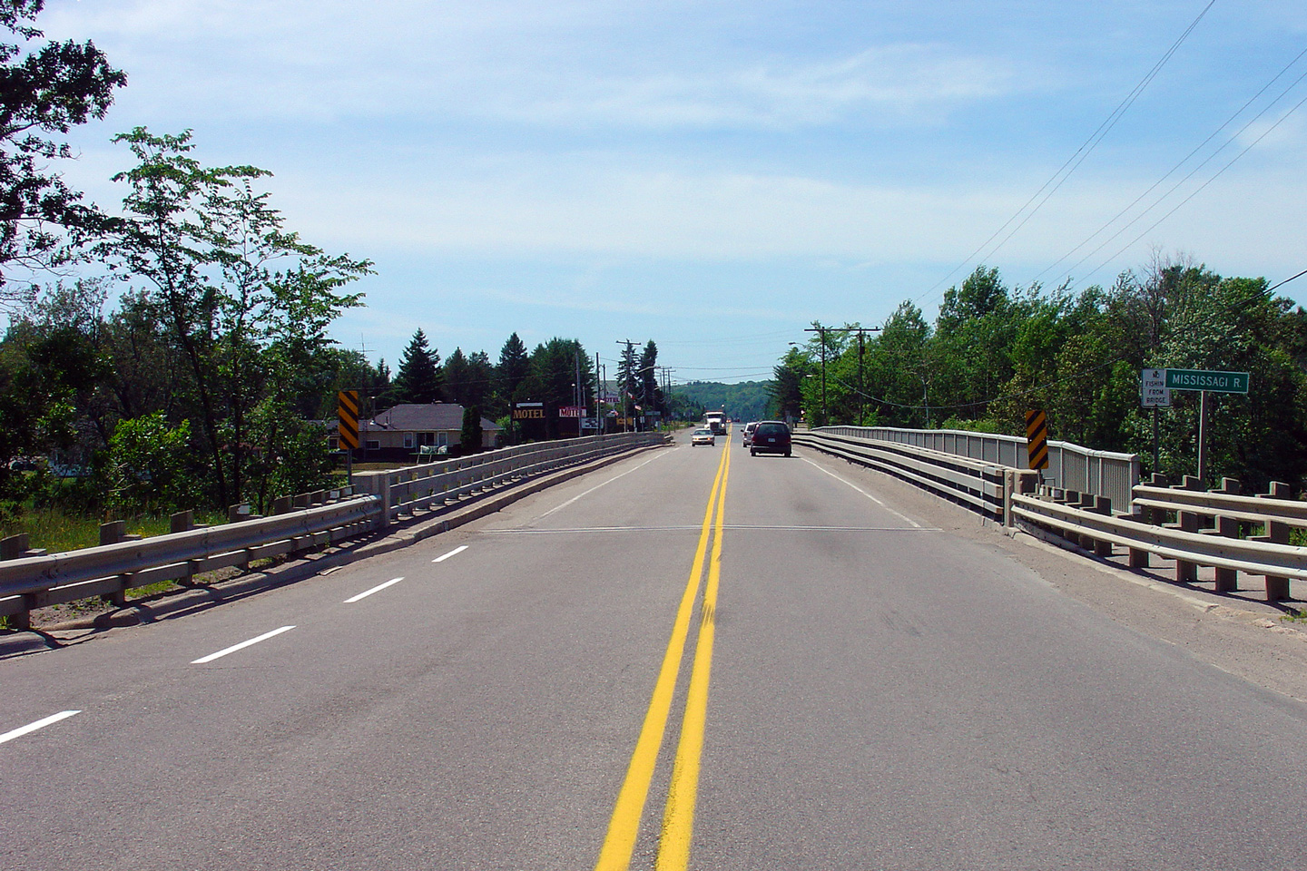
| Township of Huron Shores
District of Algoma |
Highway 17 looking east through Iron Bridge. To the left at the
intersection shown in this photo is Highway 546. Photo taken: July 3rd,
2005. |
(720x480)
(1440x960) |
|
Highway 17 images continue
easterly on Page 3C Images. |


 (720x480)

 (720x480)
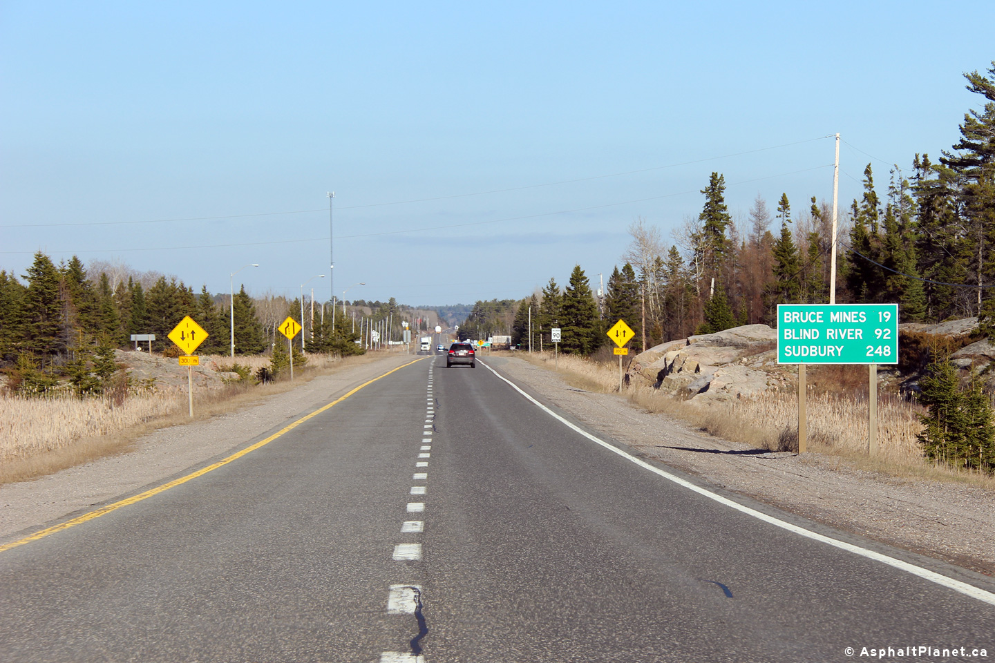


