|
Proper Municipality Name |
Photo Description |
Photo |
|
Pictures taken
from driver's perspective appear offset from centre-line pictures: |
East-
bound |
West-
bound |
|
Click here for Oshawa to Cobourg Images |
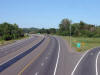
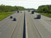
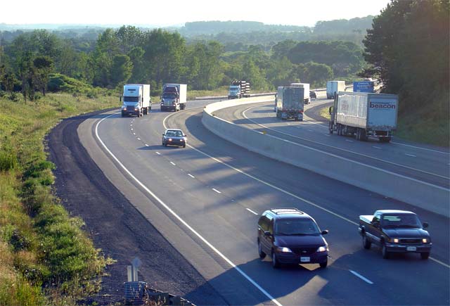
| Cobourg - Hamilton (twp) Boundary
County of Northumberland |
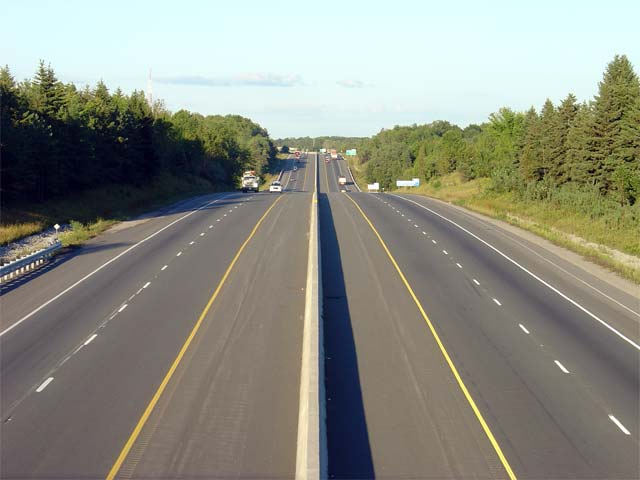
View looking easterly from the Highway 45 overpass in Cobourg. The 401
meets Highway 45 at a parclo B2 interchange.
Click here to jump to the view looking
westerly from the Highway 45 overpass.
Click
here for high resolution image (150kb).
Picture taken: August 6th, 2005. Size: 35kb. |
 |
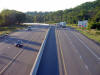
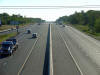
| Township of Hamilton County of
Northumberland |
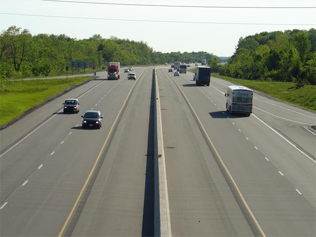
View looking westerly from the Nagle Road overpass east of Coborg.
Nagle Road is located in the vicinity of kilometre marker 476. Picture
taken: September 1st, 2004. Size: 45kb. |
 |
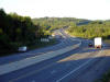
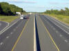
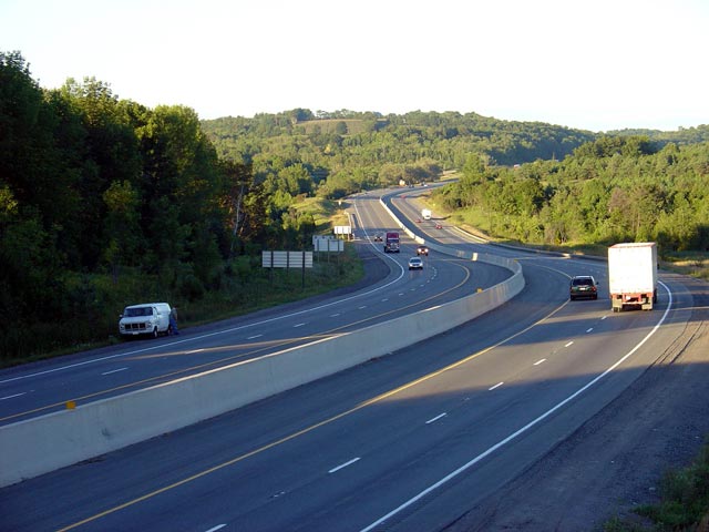
| Township of Hamilton County of
Northumberland |
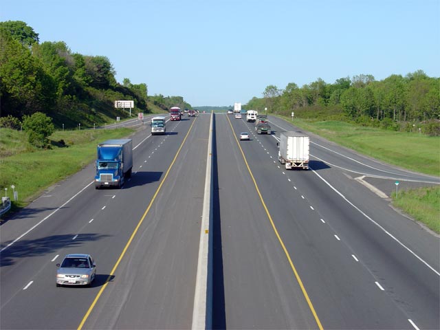
Highway 401 looking east from
Nagle Road. The Cobourg to Trenton portion of highway 401, holds some of the best scenery that can be
seen on the route. Much of Northumberland County is situated in the
scenic hills
of the Oak Ridges Moraine.
Click
here for high resolution image (185kb).
Picture taken : September 1st,
2004. Size: 50kb |
 |
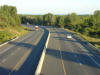
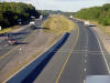
| Township of Alnwick-Haldimand
County of Northumberland |
A view looking westerly from the Danforth Road overpass. Notice the
advanced warning sign for the Newcastle Service Centre. It is very
typical to see signs between 30 and 40km in advance of the next service
centre. Danforth Road is located roughly at kilometre marker 480.
Picture taken: September 1st, 2004. Size: 40kb. |
 |
| Township of Alnwick-Haldimand
County of Northumberland |
Highway 401 looking east from the Danforth Road overpass. Danforth Road was
actually one of the very first roads between Toronto and Kingston, predating
even the days of the Kingston Road (now Highway 2). Thanks to Joseph
Gardiner for that information!
Click
here for high resolution image (210kb).
Picture taken: September 1st, 2004. Size: 60kb. |
 |
| Township of Alnwick-Haldimand
County of Northumberland |
This picture shows Highway 401 looking west from the Gully Road overpass.
It might be hard to believe, but despite all of the hills and curves, coupled with
a narrow median, concrete tall wall wasn't constructed through much of Northumberland
County until 2000/01.
Picture taken: September 1st, 2004. Size: 55kb. |
 |
| Township of Alnwick-Haldimand
County of Northumberland |
Looking towards Kingston from the Gully Road overpass. Gully Road is
located roughly at kilometre marker 484. Picture taken: September 1st,
2004. Size: 35kb. |
 |
| Township of Alnwick-Haldimand
County of Northumberland |
Looking west towards Cobourg from the Lyle Street overpass near Grafton.
Lyle Street is located roughly at kilometre marker 487. Picture taken:
June 3rd, 2004. Size: 40kb. |
 |
| Township of Alnwick-Haldimand
County of Northumberland |
Looking east from Lyle Street along Highway 401. Picture taken: June 3rd,
2004. Size: 45kb. |
 |
| Township of Cramahe County of
Northumberland |
View looking westerly into the sun from the Northumberland Road 25 overpass
near Colborne. Colborne is home to 'The Big Apple' a noteworthy stop
among seasoned Highway 401 travelers. Picture taken: September 1st, 2004.
Size: 35kb. |
 |
| Township of Cramahe County of
Northumberland |
Looking east along Highway 401 from Northumberland Road 25.
Northumberland Road 25 is located roughly at kilometre marker 497. Picture
taken: September 1st, 2004. Size: 35kb. |
 |
| Township of Cramahe County of
Northumberland |
View looking westerly from the Herley Road overpass. Picture taken:
September 1st, 2004. Size: 40kb. |
 |
| Township of Cramahe County of
Northumberland |
Highway 401 looking east from the Herley Road overpass in Northumberland
County. Herley Road is located roughly 2 km east of Northumberland
Road 25 at approximately kilometre 499.
Click
here for high resolution image (200kb).
Picture taken: September 1st,
2004. Size: 60kb
|
 |
| Township of Cramahe County of
Northumberland |
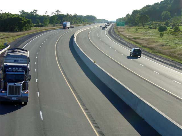
Looking west around the curve along Highway 401 from the Lake Road overpass.
Lake Road is located in the vicinity of kilometre marker 503. Picture
taken: September 1st, 2004. Size: 45kb. |
 |
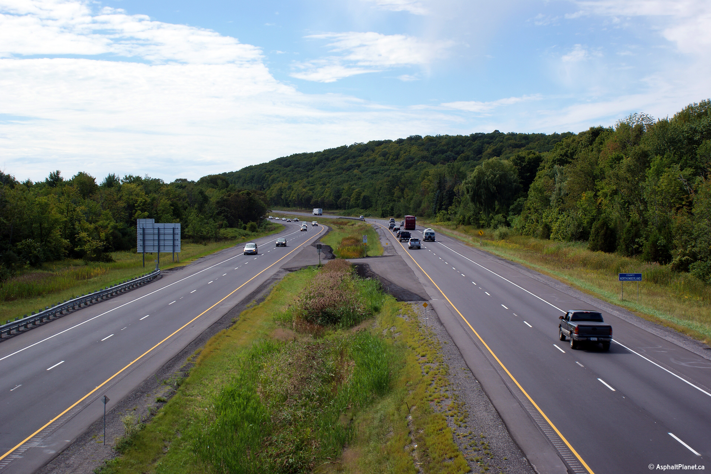
| Township of Cramahe County of
Northumberland |
View looking easterly along Highway 401 from the Lake road overpass.
Unbeknownst to most high-speed 401 travelers, there is a small and scenic
lake to just to the south of Highway 401 at this point.
Click
here for high resolution image (200kb).
Picture taken: September 1st, 2004. Size: 45kb. |
 |
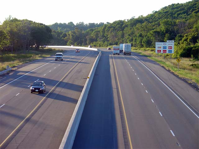
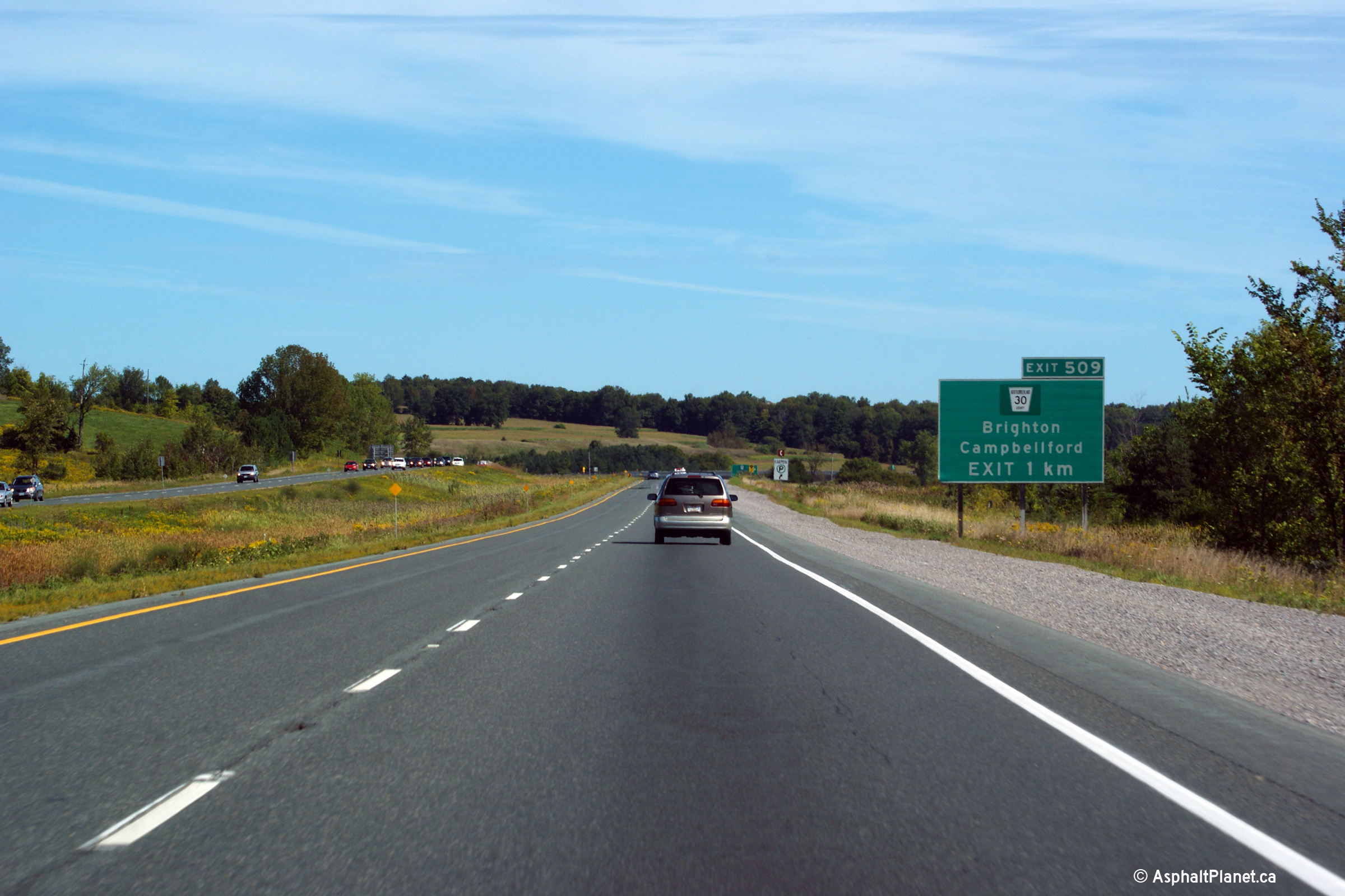
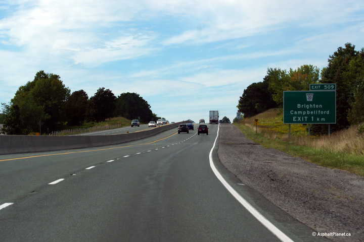
| Town of Brighton County of
Northumberland |
Advanced signage for the ramp to Highway 30 along the eastbound 401.
This sign was replaced with a modern sign in the winter of 2012.
Modern signs no longer include the word 'exit' on either the exit tab or
before the text listing the distance to the exit.
Photo taken: September 11th, 2011. |
 (720x480) (720x480)
(1440x960)
(2400x1600) |
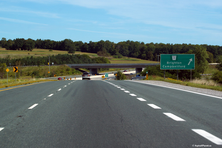
| Town of Brighton County of
Northumberland |
Signage at the ramp to Highway 30 from the eastbound 401.
Photo taken: September 11th, 2011. |
 (720x480) (720x480)
(1440x960)
(2400x1600) |
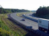
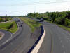
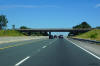
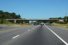
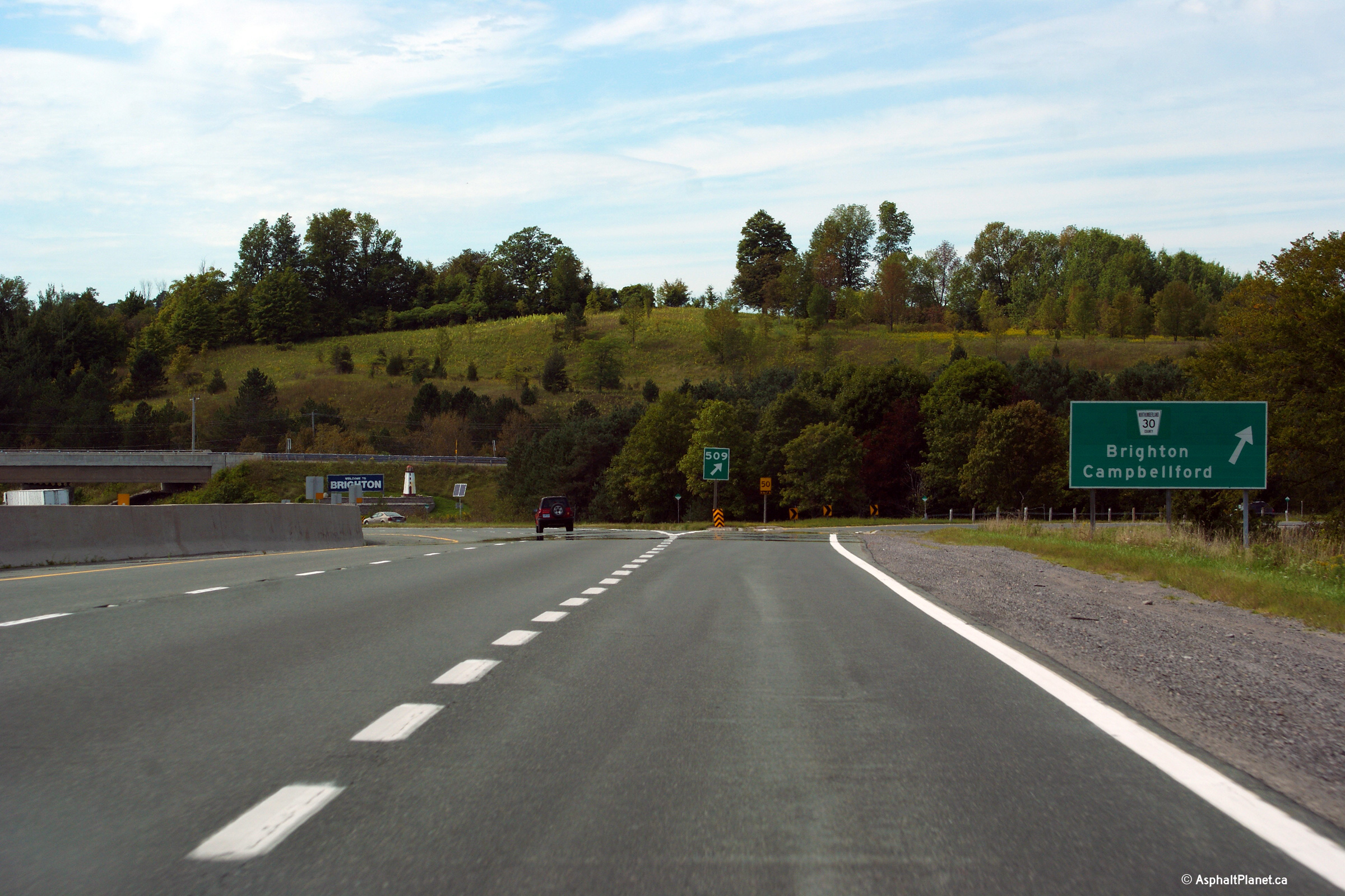
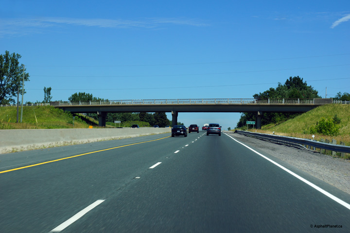
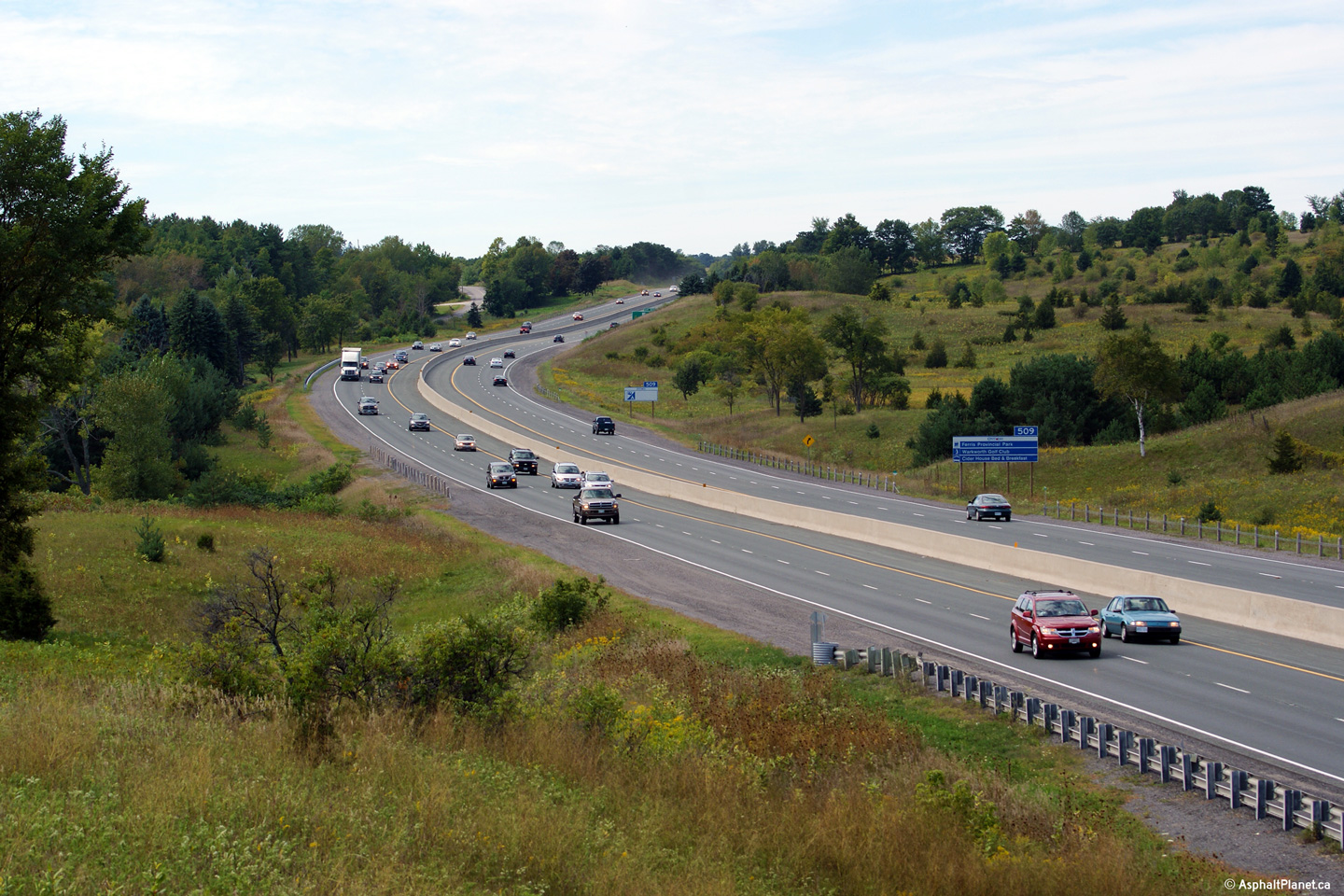
| Town of Brighton County of
Northumberland |
View looking easterly towards the Highway
30/401 interchange. Highway 401 meets
Highway 30 at a parclo A2 interchange.
Since this photo was taken, the structure carrying
Highway 30 over the 401 has been
rehabilitated. This work was carried out in the Summer of 2006.
Click
here for high resolution image (200kb).
Picture taken: May 7th, 2006. Size: 55kb. |
 |
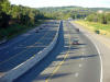
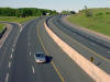
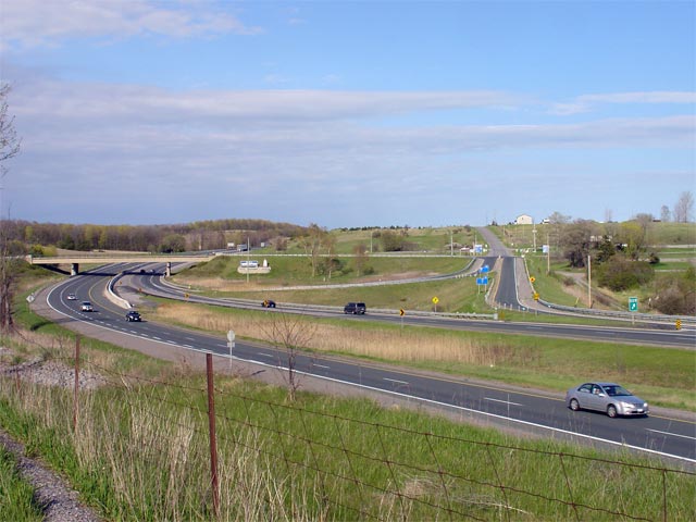
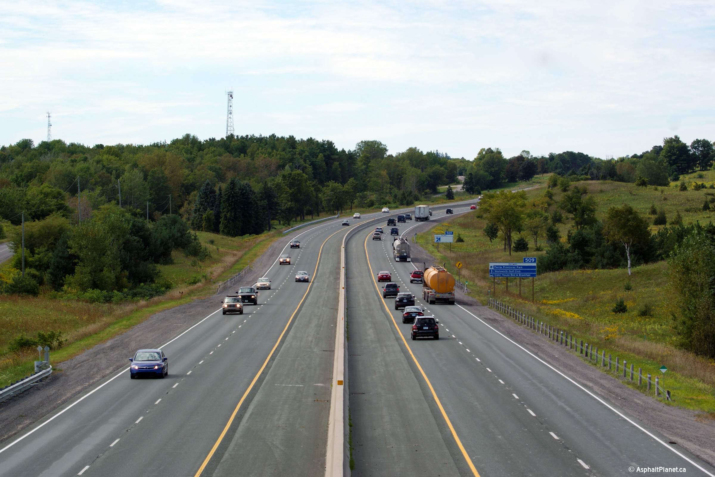
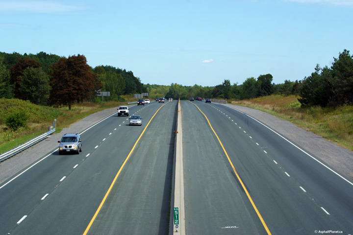
| Town of Brighton County of
Northumberland |
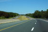
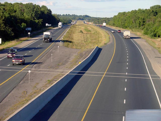
Highway 401 looking west from the Highway 30 overpass.
Highway 30 is
located roughly at kilometre marker 509. West of Highway 30, Highway
401's carriageways are separated by a grassed median for roughly a
kilometre. This is a very welcome change from the more typical
concrete tall-wall barrier.
Click
here for high resolution image (200kb)
Picture taken: June 3rd, 2004. Size: 50kb. |
 |
|
Highway 30 leads northerly from Brighton through
Campbellford to Highway 7 at Havelock.
Click here for Highway
30 images. |
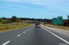
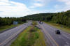
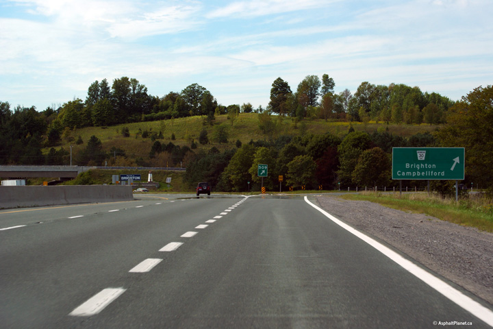
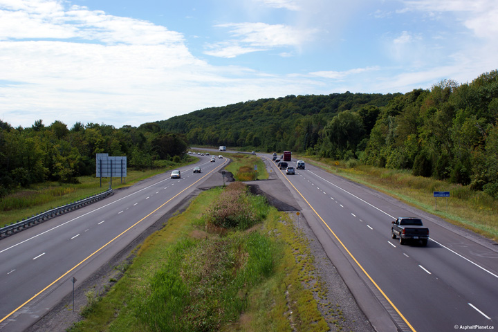
| Town of Brighton County of
Northumberland |
Highway 401 looking east from the Highway 30 overpass. The curve shown
in this photo is quite sharp by modern 400-series highway standards.
Because of the sharpness of this curve, a second tall-wall barrier has been
added for extra strength.
Click
here for high resolution image (200kb).
Picture taken: June 3rd, 2004. Size: 50kb. |
 |
| Town of Brighton County of
Northumberland |
This view looks westerly at the off-ramp to Highway 30.
Photo taken: September 11th, 2011. |
 (720x480) (720x480)
(1440x960)
(2400x1600) |
| Town of Brighton County of
Northumberland |
Advanced signage for the westbound off-ramp to Highway 30. This sign was
replaced during the winter of 2012.
Photo taken: September 11th, 2011. |
 (720x480) (720x480)
(1440x960)
(2400x1600) |
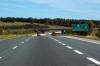
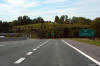
| Town of Brighton County of
Northumberland |
East of the Northumberland Road 26 overpass, the highways median widens and
the tall wall concrete barrier ends.
Photo taken: July 26th, 2013. |
 (720x480) (720x480)
(1440x960)
(2400x1600) |
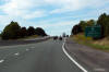
| Town of Brighton County of
Northumberland |
Two view looking westerly from the Northumberland Road 26 overpass. The
gravel shoulders and cedar post guiderail are features unique to older
section of Ontario's 400-series highways. Photos taken: September 11th,
2011. |
(720x480)
(1440x960)
(2400x1600)
(720x480)
(1440x960)
(2400x1600) |
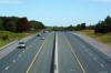
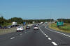
| Town of Brighton County of
Northumberland |
View looking east from the Northumberland Road 26 overpass. Notice the
kilometre marker on the tall wall barrier in the median. Photo taken:
September 11th, 2011. |
(720x480)
(1440x960)
(2400x1600) |
| Town of Brighton County of
Northumberland |
East of the Northumberland Road 26 overpass, the highway's median widens and
the tall wall concrete barrier ends.
Photo taken: July 26th, 2013. |
 (720x480) (720x480)
(1440x960)
(2400x1600) |
| Town of Brighton County of
Northumberland |
Easterly view as the highway passes underneath of the Smithfield Road
overpass.
Photo taken: July 26th, 2013. |
 (720x480) (720x480)
(1440x960)
(2400x1600) |
| Town of Brighton County of
Northumberland |
View looking westerly along Highway 401 from the Smithfield Road overpass.
Smithfield Road is located roughly at kilometre marker 517. Photo taken:
September 11th, 2011. |
(720x480)
(1440x960)
(2400x1600) |
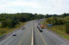
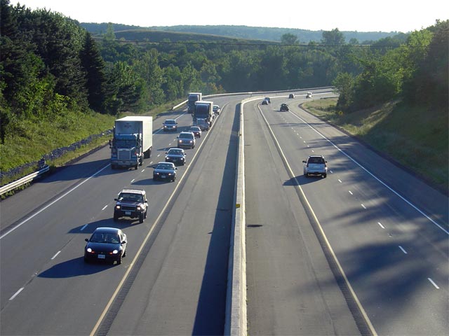
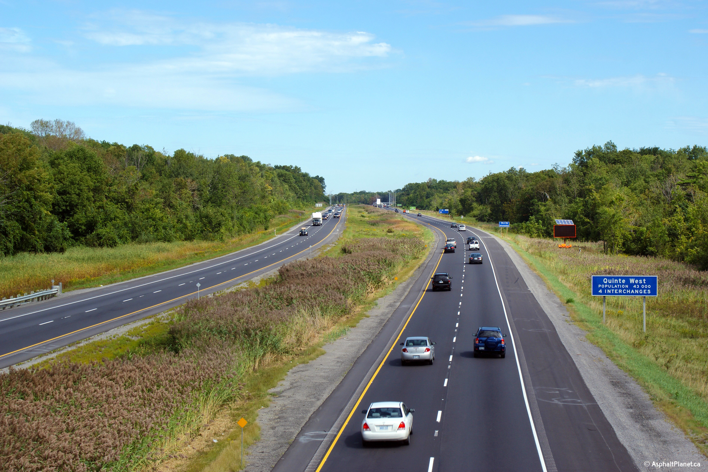
| City of Quinte West County of
Hastings |
Looking easterly along Highway 401 from Smithfield Road. Note the
Trenton Service Centres in the distance. Beyond the Service Centres,
Highway 401 descends the long hill into the Trenton. Photo taken:
September 11th, 2011. |

(720x480)
(1440x960)
(2400x1600) |
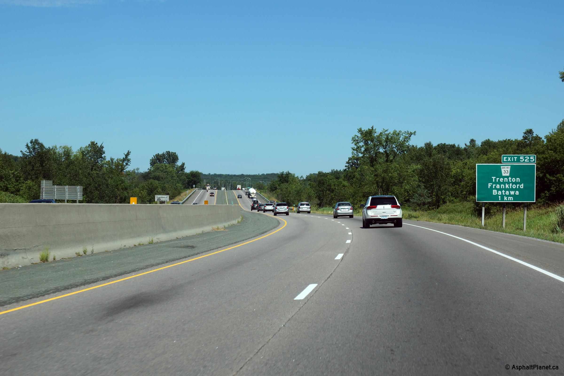
| City of Quinte West County of
Hastings |
Advanced signage for the former Highway 33 interchange in Trenton.
North and west of Bloomfield, Highway 33 was downloaded in 1997 and 1998 and
is now known as County Road 33. Photo taken: July 26th, 2013. |
 (720x480) (720x480)
(1440x960)
(2400x1600) |
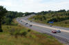
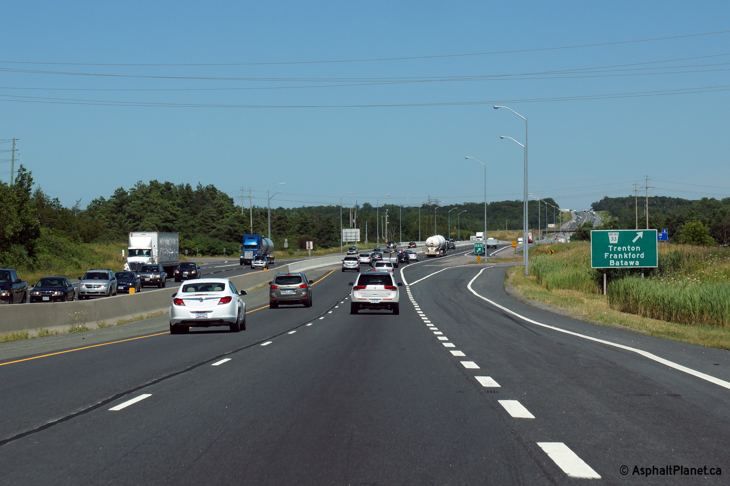
| City of Quinte West County of
Hastings |
View looking easterly at the County Road 33 interchange. Highway 33
meets the 401 at an elongated parclo AB2 interchange.
Photo taken: July 26th, 2013. |
 (720x480) (720x480)
(1440x960)
(2400x1600) |
|
North of Trenton, Highway 33 followed the Trent River
through Frankford to Highway 14 at Stirling.
Click here for Highway
33 images. |
|
Click here for
Trenton to Napanee Images |


 (720x480)
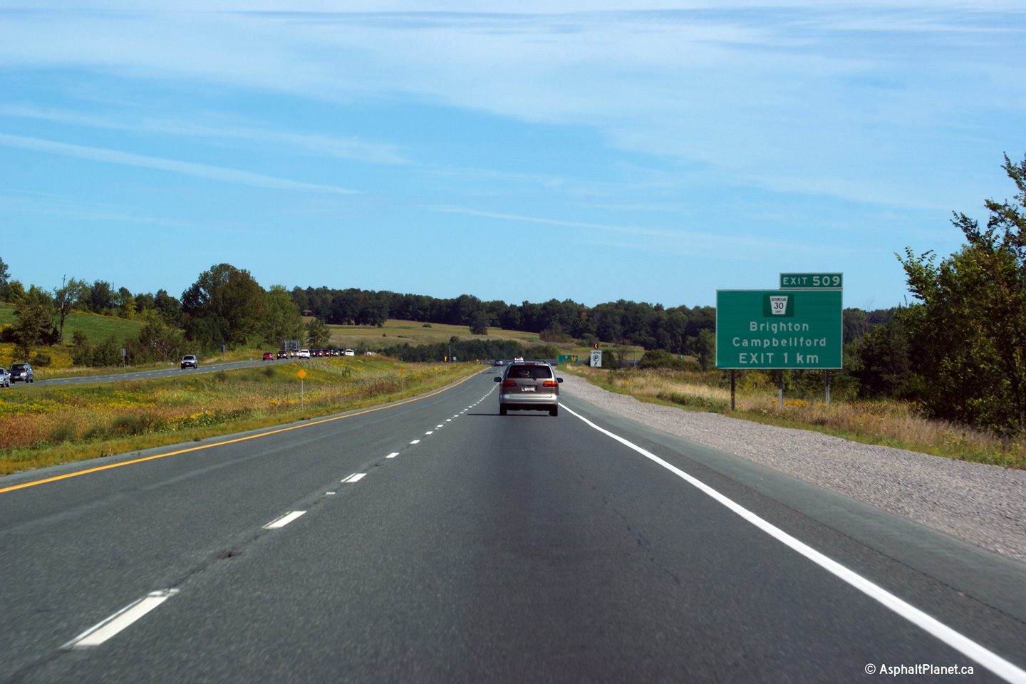
 (720x480)
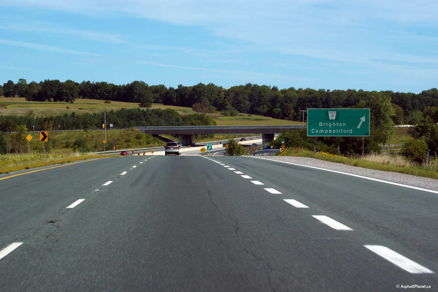


 (720x480)
 (720x480)
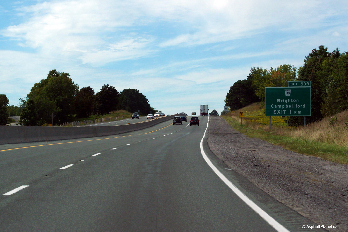
 (720x480)


 (720x480)
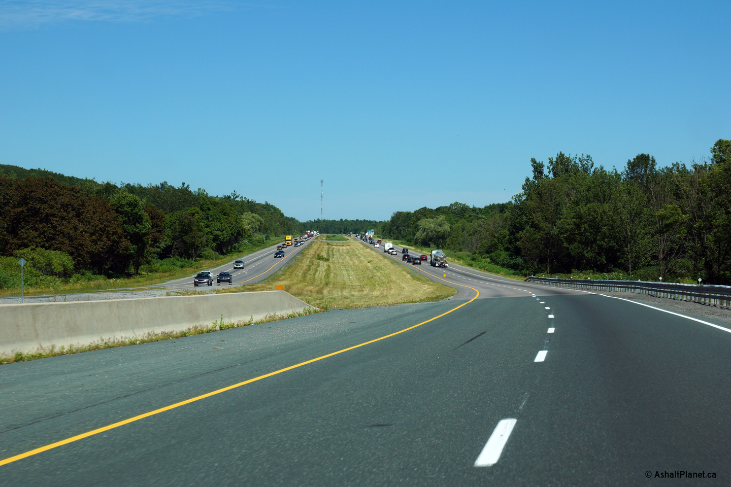
 (720x480)

 (720x480)
 (720x480)