King's Highway 401 - Images
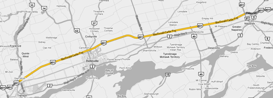
<- Page 13 Page 14 - Trenton to Napanee Page 15 ->
Photos shown in this table are arranged from West to East:
| Proper Municipality Name | Photo Description | Photo | ||
|
Photos taken from driver's perspective appear offset from centre-line Photos: |
East- |
West- |
||
| Continued from Cobourg to Trenton Images | ||||
| North of Trenton, Highway 33 followed the Trent River through Frankford to Highway 14 at Stirling. Click here for Highway 33 images. | ||||
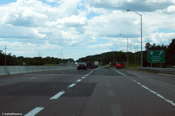
| City of Quinte West |
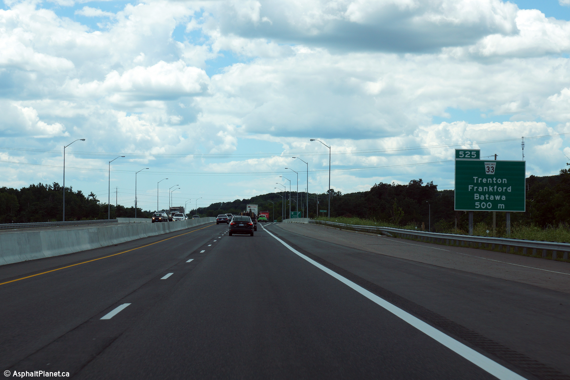
Westbound signage at the off-ramp to Highway 33. Note the extra wide
outer shoulder overtop of the bridge that will be converted into an
additional through lane in the future. Photo taken: July 4th, 2014. |
 (720x480) (720x480)(1440x960) (2400x1600) |
||
| City of Quinte West |
Advanced signage for the Highway 33 interchange. Photo taken: July 4th, 2014. |
 (720x480) (720x480)(1440x960) (2400x1600) |
||
| City of Quinte West |
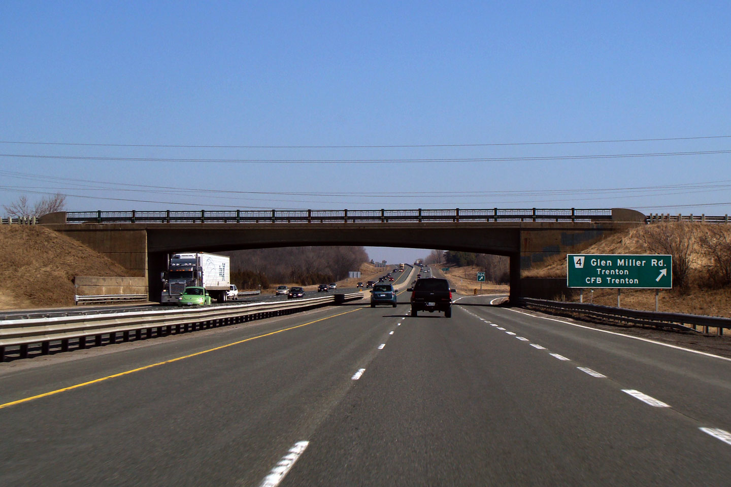
View
looking easterly through the Glen Miller Road interchange. Single span
rigid frame bridges are indicative of the older interchanges along Highway
401 in eastern Ontario. Some sections of the 401 were initially opened
at-grade with interchanges constructed later. Photo taken: March 14th, 2009. |
 (720x480) (720x480)(1440x960) |
||
| City of Quinte West |
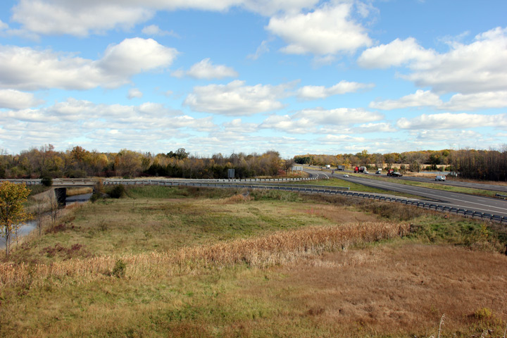
Looking west from Glen-Miller Road in Trenton along Highway 401. Just
west of Glen Miller Road Highway 401 crosses the Trent River and Canal. Photo taken: September 2nd, 2005. |
 |
||
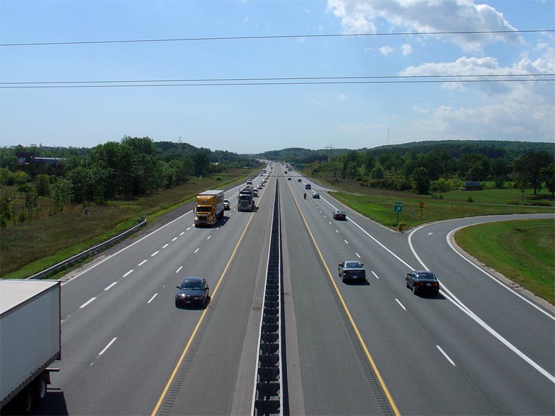
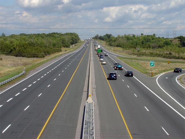
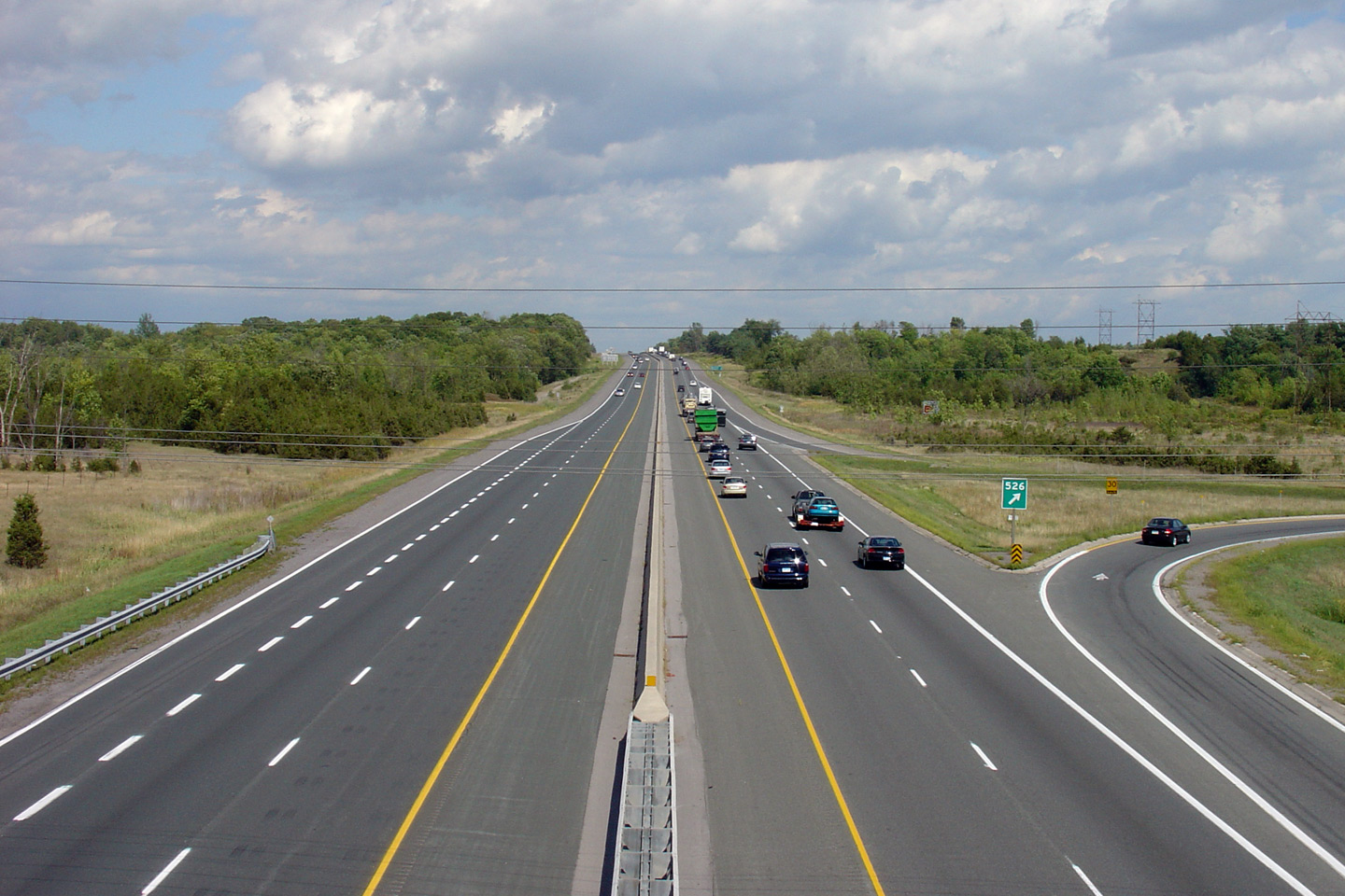
| City of Quinte West |
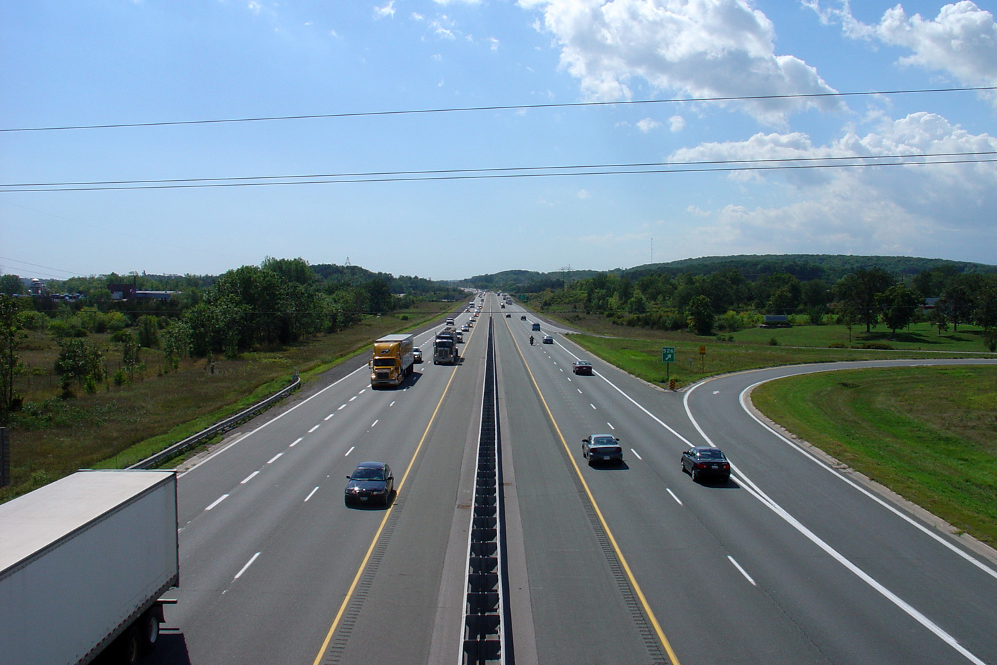
Looking east towards Belleville from Glen Miller Road in Trenton. Glen
Miller Road is located at roughly kilometre marker 526. Photo taken: September 2nd, 2005. |
 |
||
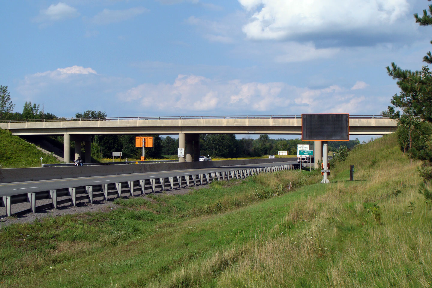
| City of Quinte West |
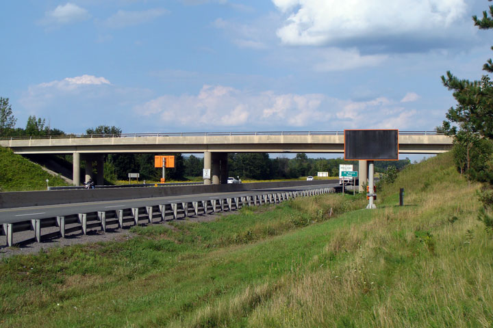
Easterly view of the St. Hillaires Road overpass. Note the pole
mounted changeable message (CMS) sign adjacent to the structure. Small CMS signs such as
this are seldom permanently mounted on freeways in Ontario. Photo taken: August 16th, 2008. |
 |
||
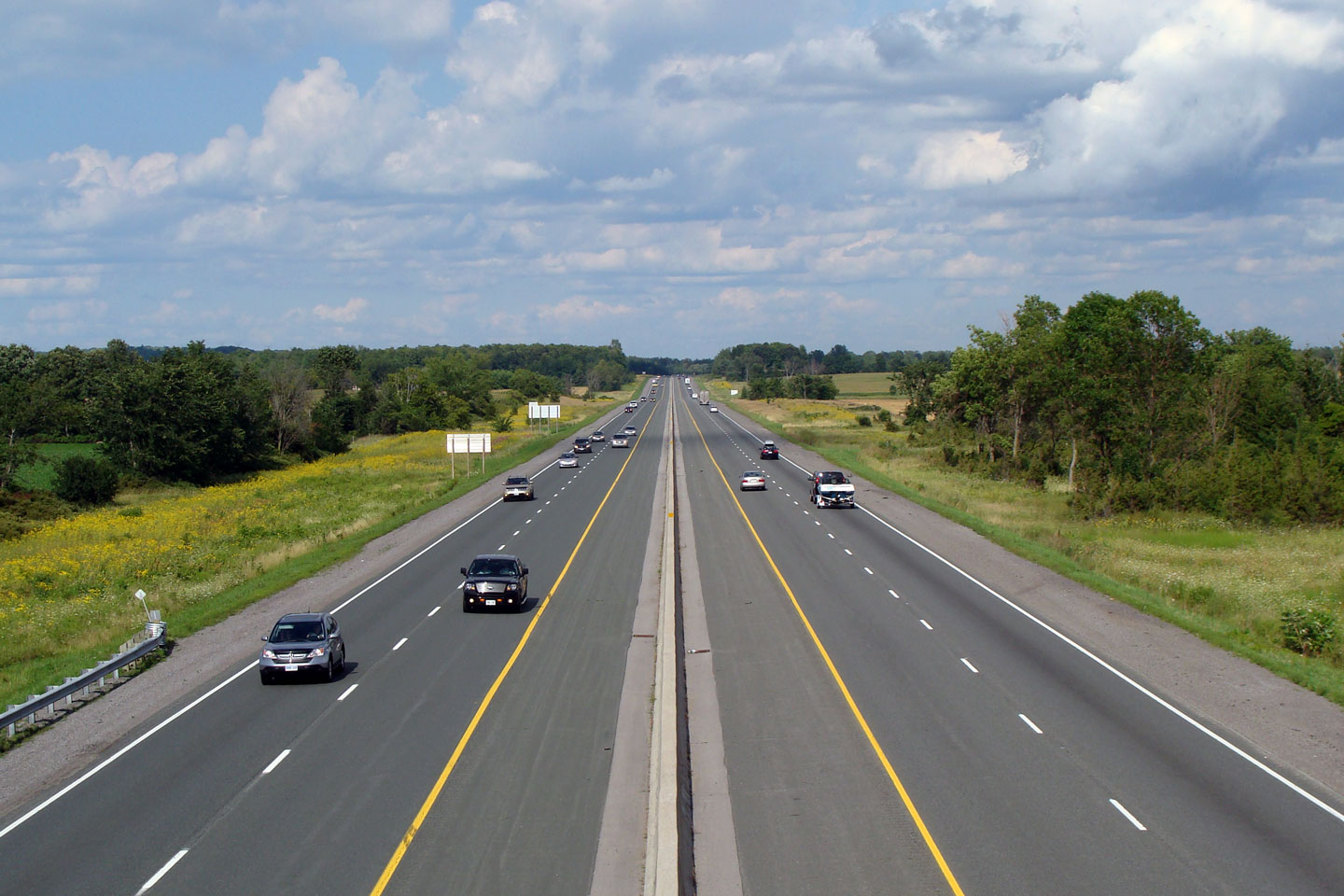
| City of Quinte West |
Westerly view from the St. Hillaires Road overpass along
Highway 401. Photo taken: August 16th, 2008. |
 |
||
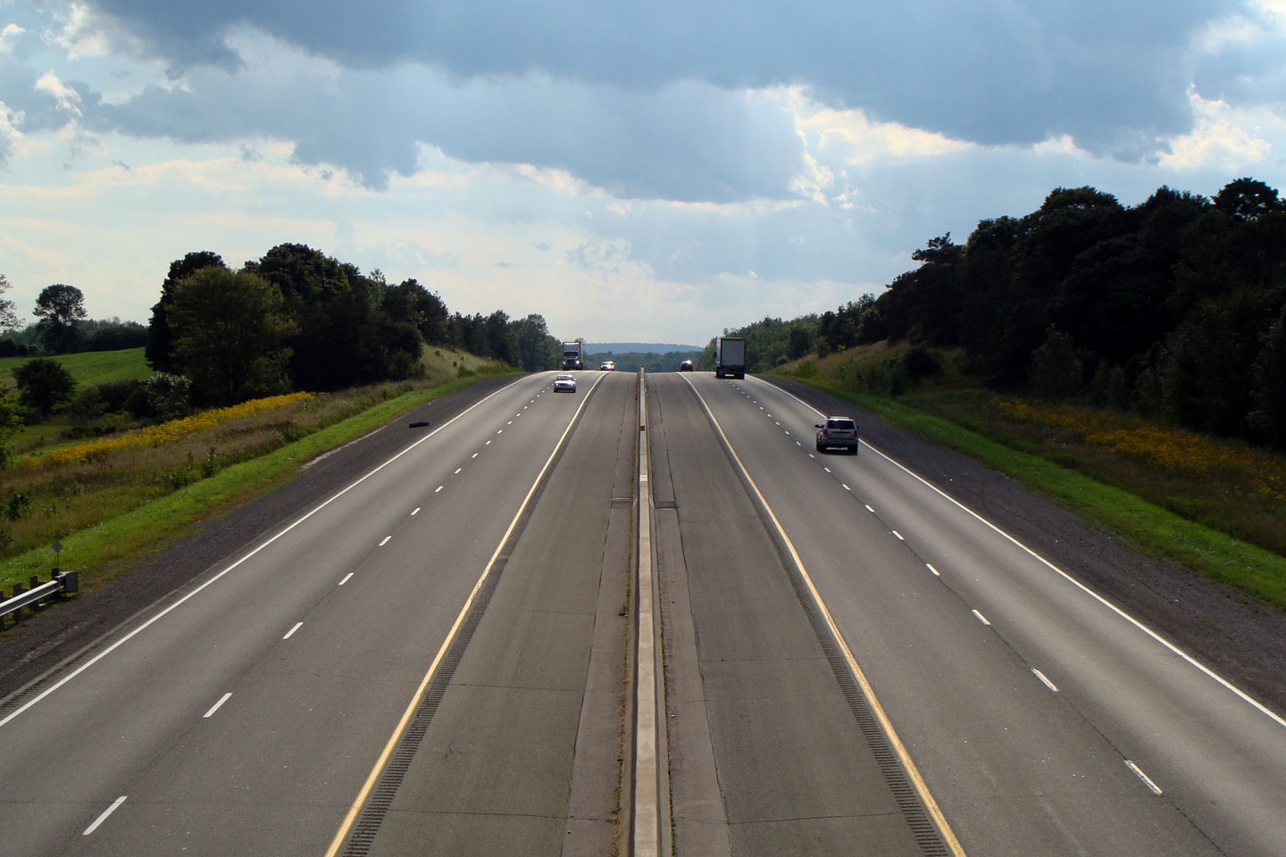
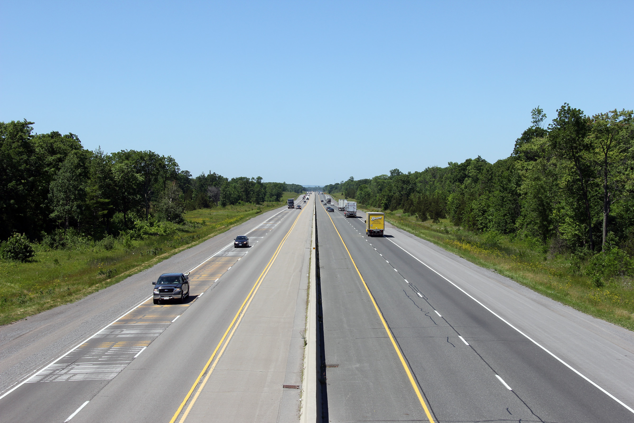
| City of Quinte West |
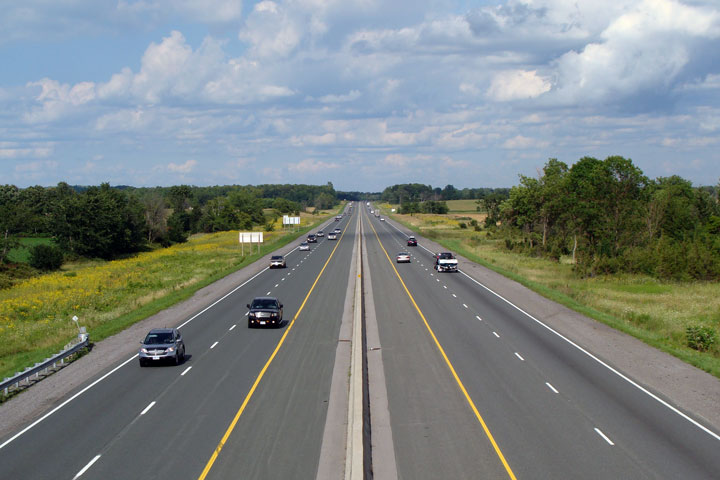
View looking east along the freeway from St. Hillaires
Road. Photo taken: August 16th, 2008. |
 |
||
| City of Quinte West |
This view looks west from the Aikens Road overpass.
Photo taken: August 16th, 2008. |
 |
||
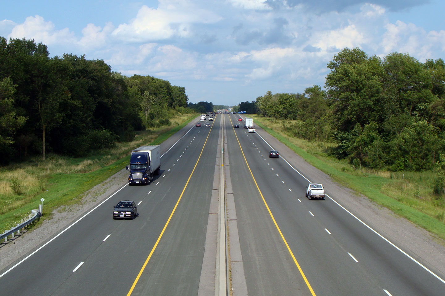
| City of Quinte West |
Easterly view from the Aikens Road overpass. Photo taken: August 16th, 2008. |
 |
||
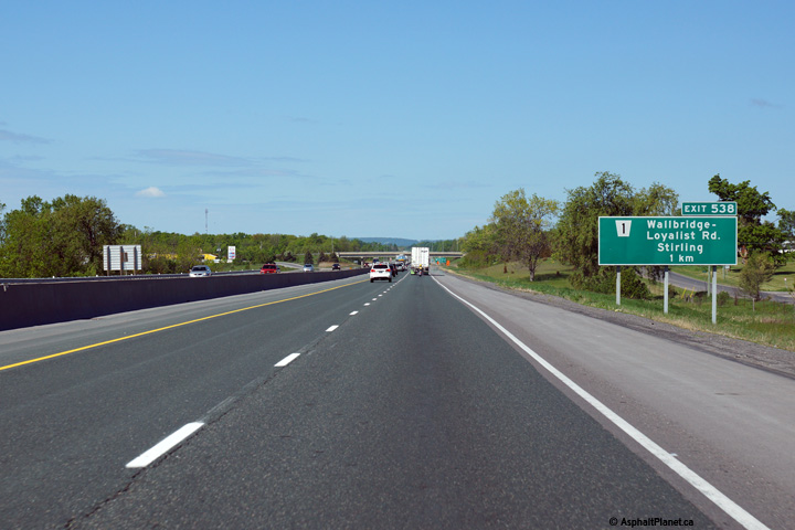
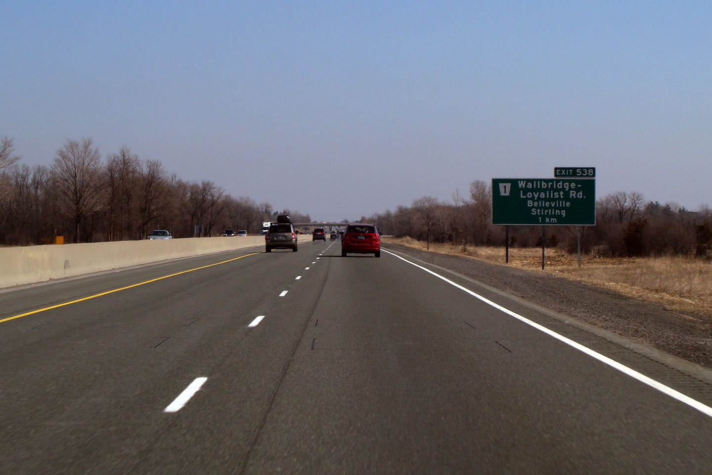
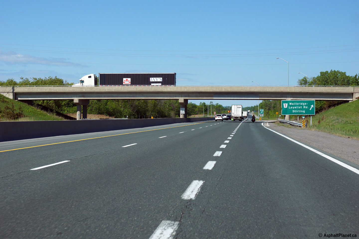
| City of Quinte West |
Advanced
signage for Wallbridge-Loyalist Road on the eastbound 401. Photo taken: March 14th, 2009. |
 (720x480) (720x480)(1440x960) 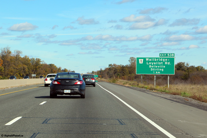 |
||
 (720x480) (720x480)(1440x960) (2400x1600) |
||||
| City of Quinte West |
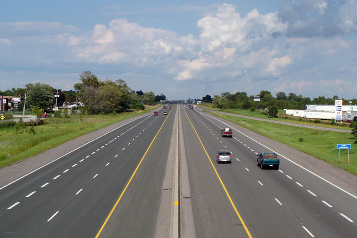
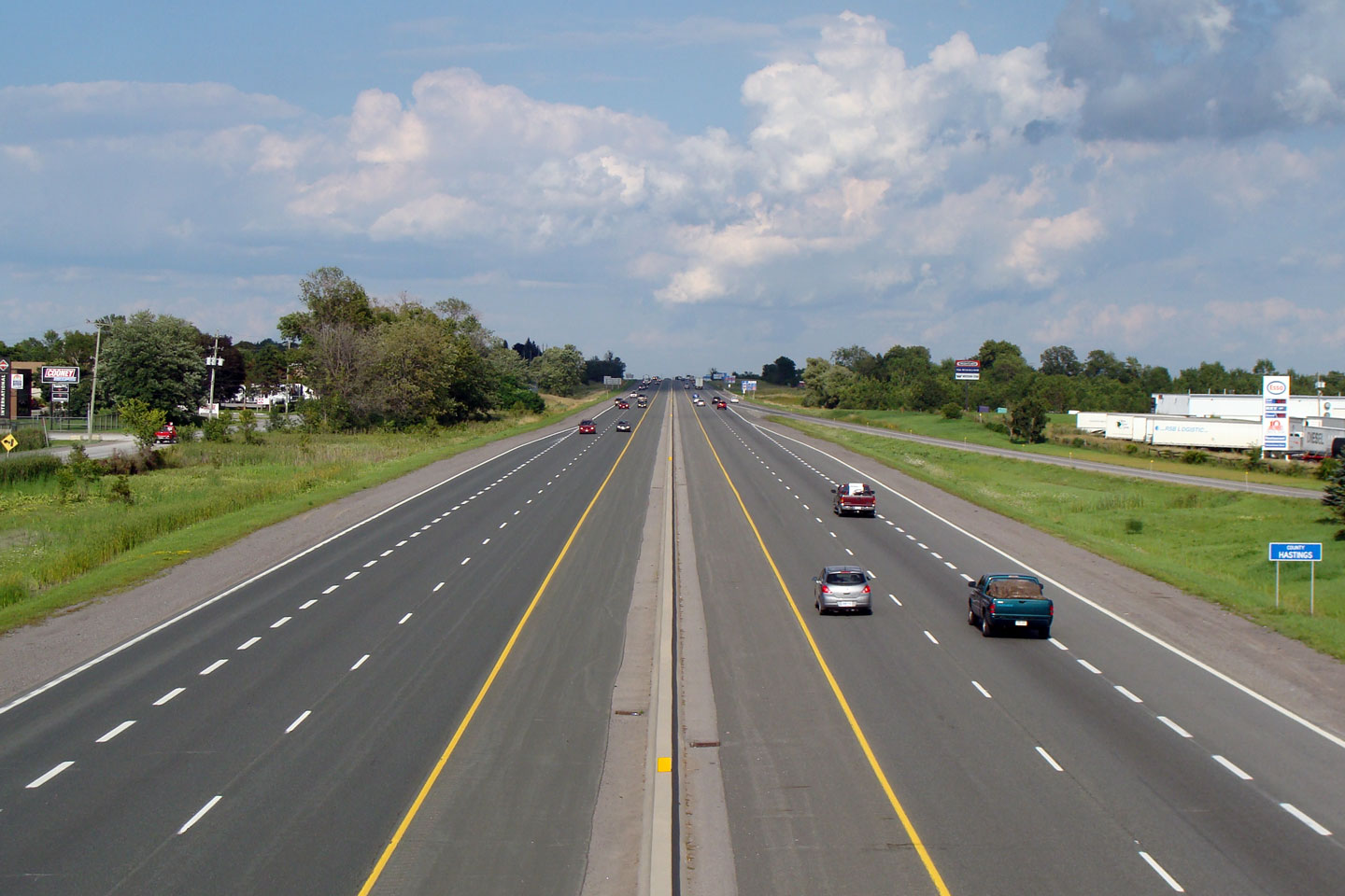
View looking westerly from Wallbridge-Loyalist Road. Wallbridge-Loyalist
Road is the boundary road between the cities of Quinte West and Belleville.
Unusually, the city of Quinte West
lies within both Northumberland and Hastings Counties. Photo taken: August 16th, 2008. |
 |
||
| City of Belleville |
Easterly view from Wallbridge-Loyalist Road. Photo taken: August 16th, 2008. |
 |
||
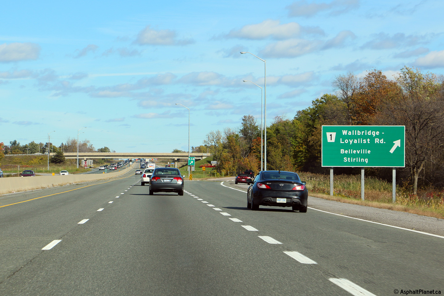
| Westerly view at the off-ramp to Wallbridge-Loyalist Road. |
 (720x480) (720x480)(1440x960) (2400x1600) |
|||
| Westbound advanced signage for the off-ramp to Wallbridge-Loyalist Road. |
 (720x480) (720x480)(1440x960) (2400x1600) |
|||
| City of Belleville |
Green advanced sign for the Highway 62 interchange. This sign includes a
trailblazer to Country Road 14 to Marmora. Before 1982, today's
Highway 62 was designated as part of Highway 14's alignment. Highway
14 was transferred to Hastings County in 1997. Photo taken: October 13th, 2008. |
 (720x480) (720x480)(1440x960) |
||
| City of Belleville |
Westerly view from Belleville's Sidney Street overpass.
It is an uneventful drive along the freeway between Belleville and Trenton. Photo taken: August 16th, 2008 |
 |
||
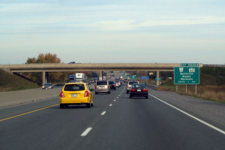
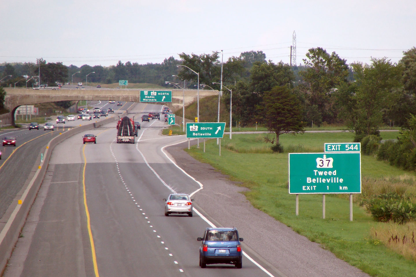
| City of Belleville |
Three signs, all with provincial crowns on them, for three
different exits. The Highway 62 and 37 interchanges are situated
within 1 kilometre of each other. Photo taken: August 16th, 2008. |
 |
||
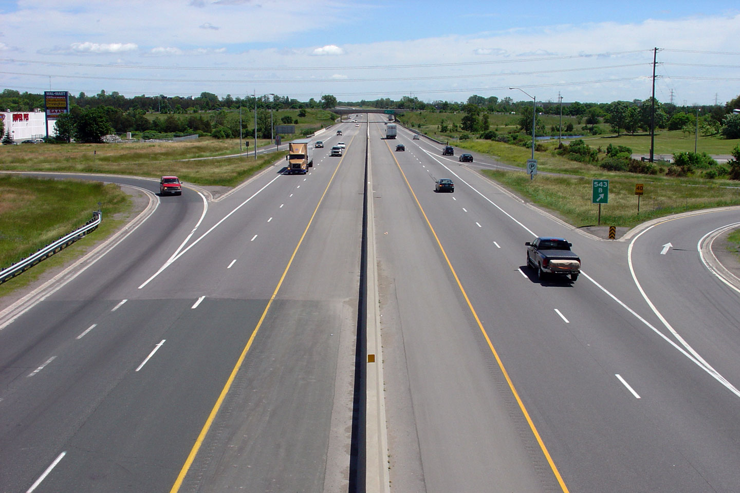
| City of Belleville |
Looking
westerly along the Macdonald Cartier Freeway from atop the
Highway 62
overpass. Highway 62 is the site of one of very few remaining
cloverleaf interchanges in the province. Photo taken: June 19th, 2004. |
 |
||
| Highway 62 runs north-south through the City of Belleville to Bloomfield and Pembroke. Click here for Highway 62 images. | ||||
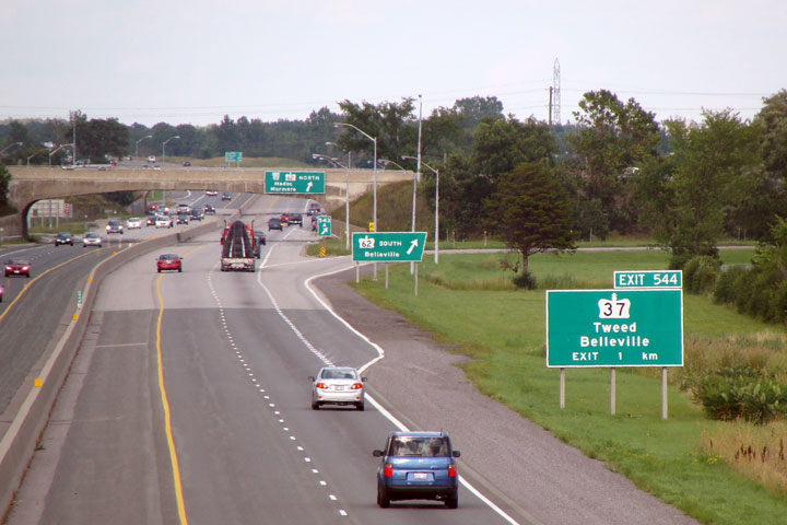
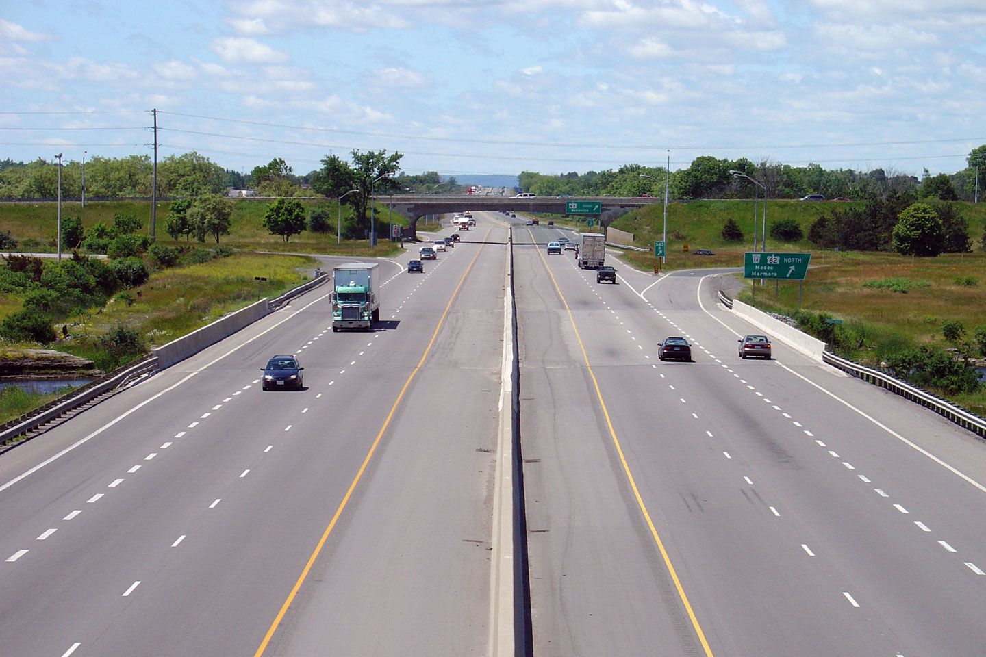
| City of Belleville |
Easterly
view from the Highway 62 interchange. Prior to 1991, there was an
additional cloverleaf interchange at neighbouring (and pictured) Highway 37
located immediately to the east. Photo taken: June 19th, 2004. |
 |
||
| City of Belleville |
Highway 401 looking west from the Highway 37 overpass near Belleville. This photo shows the recently rehabilitated Moira River Bridge, and more notably the Highway 62/401 cloverleaf. The Belleville cloverleaf is one of the last surviving interchanges of this type left in the province. Before the parclo became dominant, the cloverleaf was the most common interchange used in the province, particularly prevalent at the junction of two highways. Photo taken: June 19th, 2004. |
 |
||
| Highway 37 starts in Belleville and heads northerly through Tweed to Highway 7 at Actinolite. Click here for Highway 37 images. | ||||
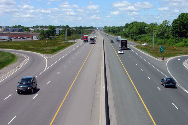
| City of Belleville |
Looking east towards Kingston on Highway 401 from the Highway 37 overpass. Photo taken: June 19th, 2004. |
 |
||
| City of Belleville |
Westerly
view from the Mitchell Road overpass. Mitchell Road was the last
grade-separation to be completed along the 401. MTO documents from
this era indicate that it was a dangerous intersection prior to the
construction of the grade separation. Photo taken: June 29th, 2012. |
|||
| City of Belleville |
Easterly
view along Highway 401 from Mitchell Road. When this was an at-grade
intersection, the narrow highway median did not provide motorists with much
refuge between the opposing carriageways when they crossed the highway. Photo taken: June 29th, 2012. |
|||
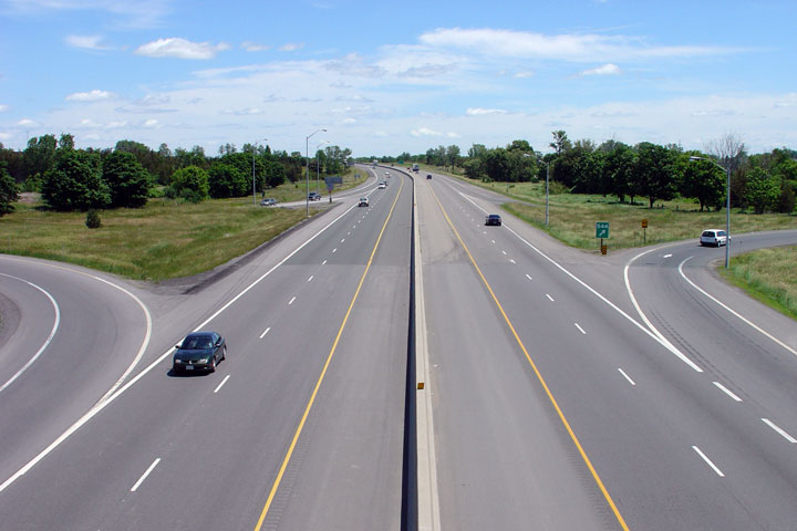
| Township of Tyendinaga County of Hastings |
Westerly view from the Shannonville Road overpass. Photo taken: June 29th, 2012. |
 |
||
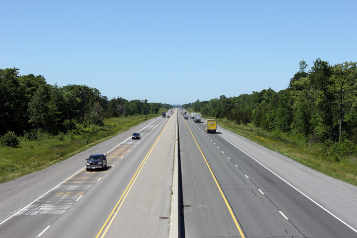
| Township of Tyendinaga County of Hastings |
Highway 401 looking east from the Shannonville Road overpass. This is a very typical Highway 401 cross-section though Hastings County.
|
 |
||
| Township of Tyendinaga County of Hastings |
This view looks easterly towards the Salmon River bridge along Highway 401.
The Salmon River bridge was extensively rehabilitated and widened during a
multiyear construction project that was completed in 2005. Photo taken: June 29th, 2012. |
 |
||
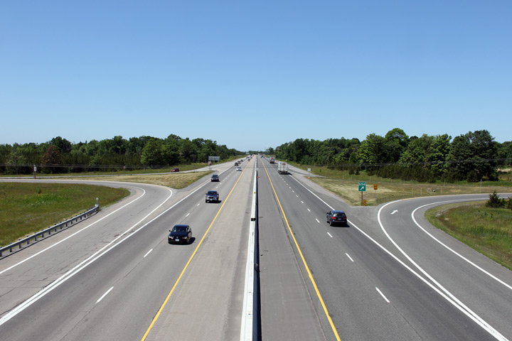
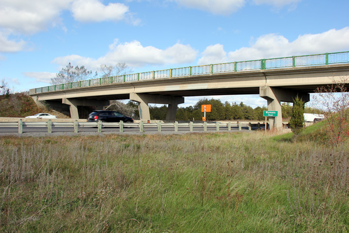
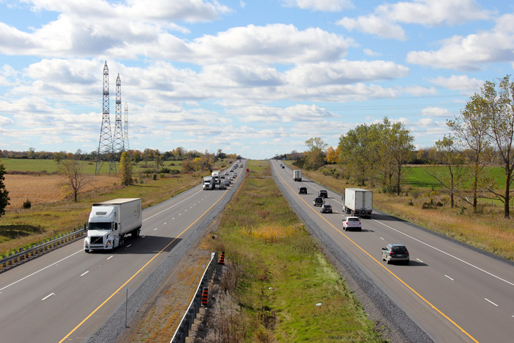
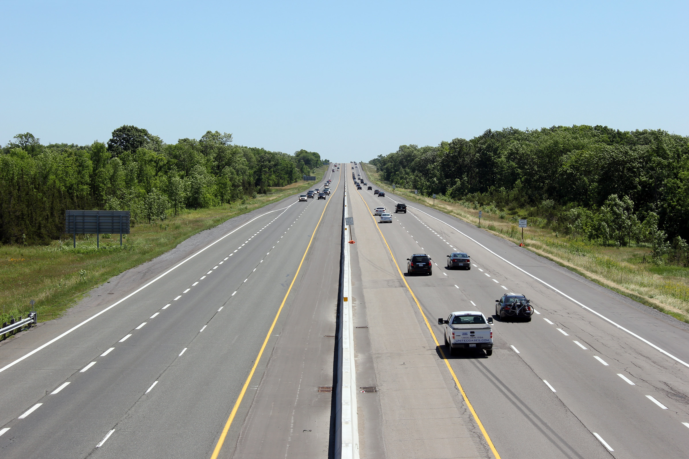
| Township of Tyendinaga County of Hastings |
View looking easterly towards the western side of the Wyman's Road overpass.
The original yellow paint of the bridge railings is showing through the more
recently applied green paint on this structure. Photo taken: October 12th, 2012. |
 |
||
| Township of Tyendinaga County of Hastings |
Looking westerly from the Wyman's Road overpass. The Belleville
By-pass segment of Highway 401 ended at Wyman's Road from 1958 until the
highway was extended easterly in 1963. During this time, a temporary
curve linked the southern leg of Wyman's Road to Highway 401, with Wyman's
Road carrying through traffic southerly to Highway 2. Today, aside
from its wide road platform, the southern leg of Wyman's Road looks typical
of any other Hastings County township road. Photo taken: October 12th, 2012. |
 |
||
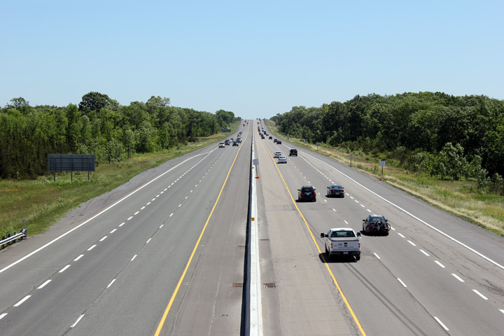
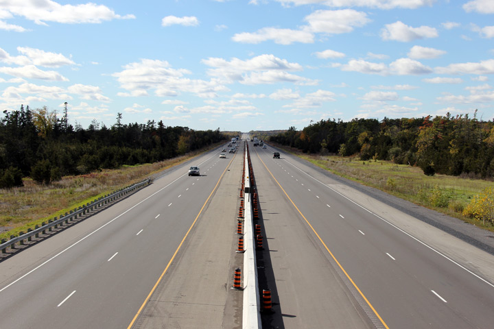
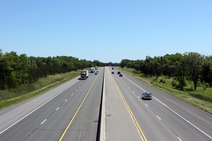
| Township of Tyendinaga County of Hastings |
Easterly view from the Wyman's Road overpass towards Highway 401.
Because the highway is newer to the east of this overpass than it is to the
west, the central median is built to a more modern standard and is wider
east of Wyman's Road. Photo taken: October 12th, 2012. |
 |
||
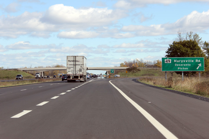
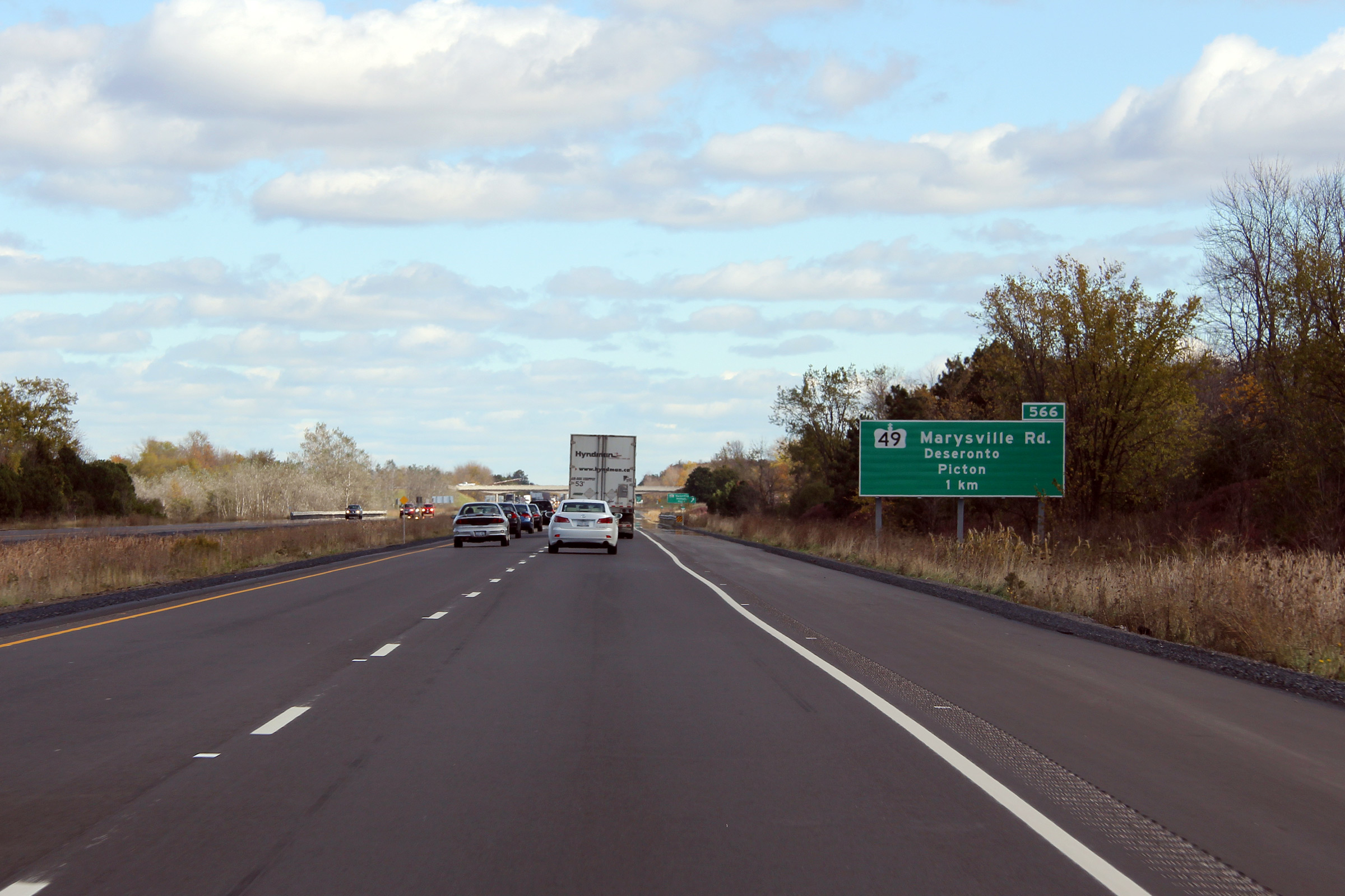
| Township of Tyendinaga County of Hastings |
Green sign 1km in advance of the
Highway 49 interchange. Photo taken: October 12th, 2012. |
 (720x480) (720x480)(1440x960) (2400x1600) |
||
| Township of Tyendinaga County of Hastings |
Until the summer of 2008, this turn-off was signed with an old angular
sign board. Angular sign exit sign boards were once standard for turn-off
signs on freeways, but have been phased out almost entirely. Photo taken: October 12th, 2012. |
 (720x480) (720x480)(1440x960) (2400x1600) |
||
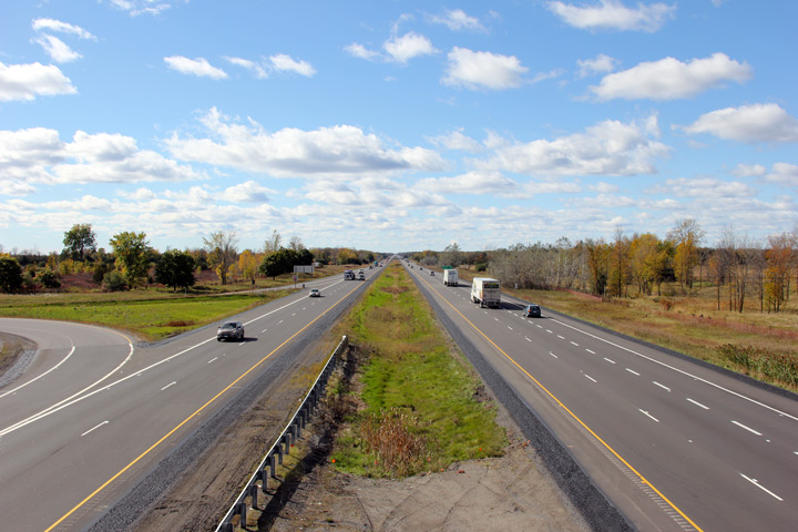
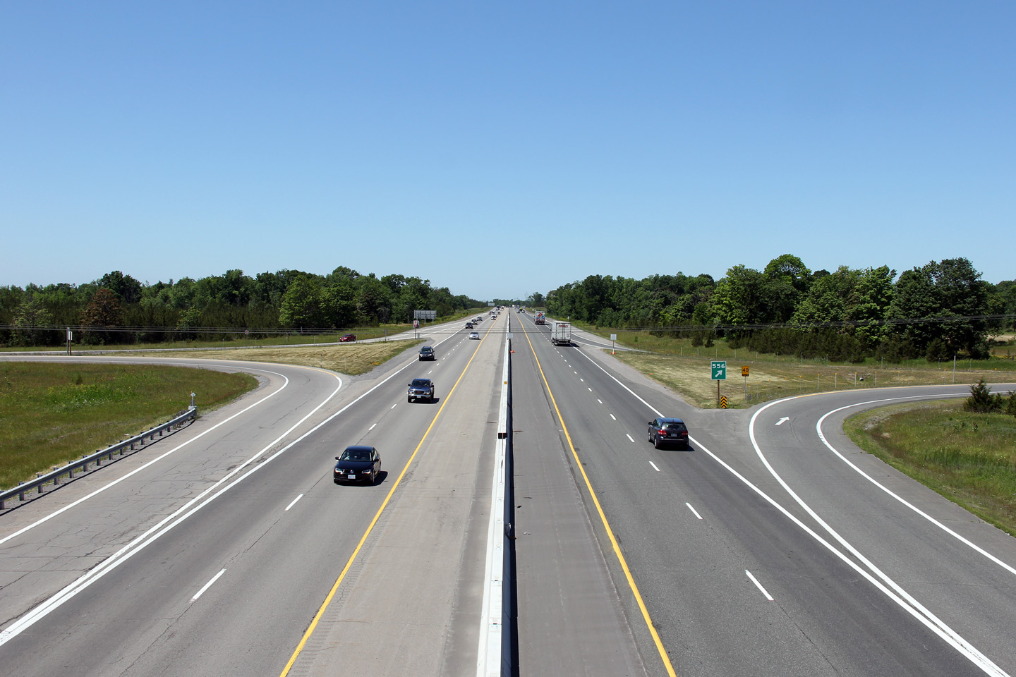
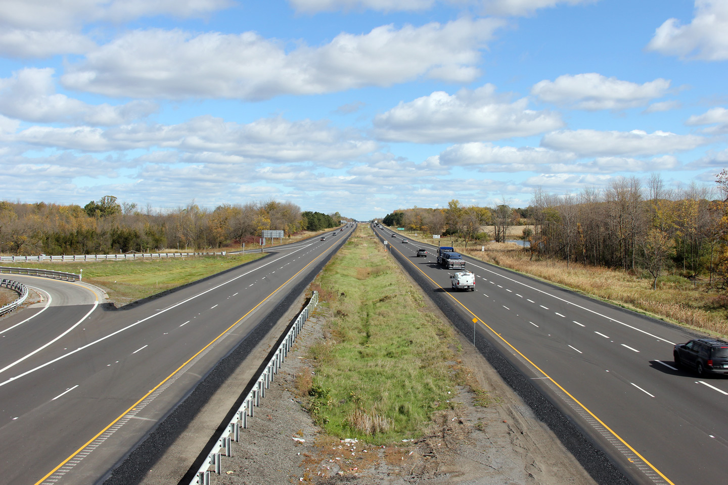
| Township of Tyendinaga County of Hastings |
View looking west from the Highway 49 overpass. Photo taken: October 12th, 2012. |
 |
||
| Highway 49 heads southerly from the Highway 401 interchange to Prince Edward County and Picton. Click here for Highway 49 images. | ||||
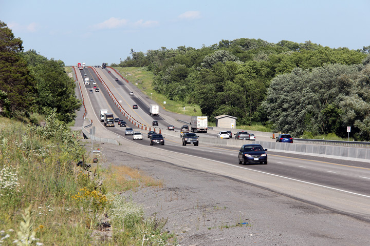
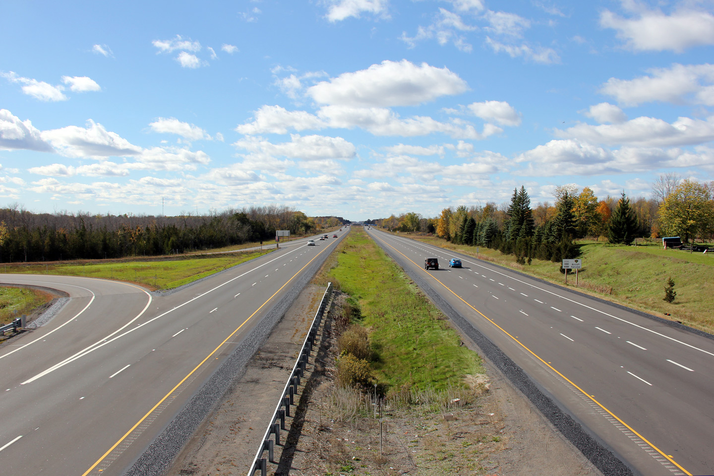
| Township of Tyendinaga County of Hastings |
Easterly view of Highway 401 from Highway 49.
The ramps between Highway 401 and 49 cross a small creek that runs through
the interchange. The ramp structure features an open concrete parapet
barrier. This barrier design was used fairly extensively along Ontario
highways built in the early 1960s. Today, however, there are few surviving
examples of this style of barrier remaining in service. Photos taken: October 12th, 2012. |
(720x480) (1440x960) (2400x1600)
|
||
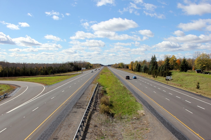
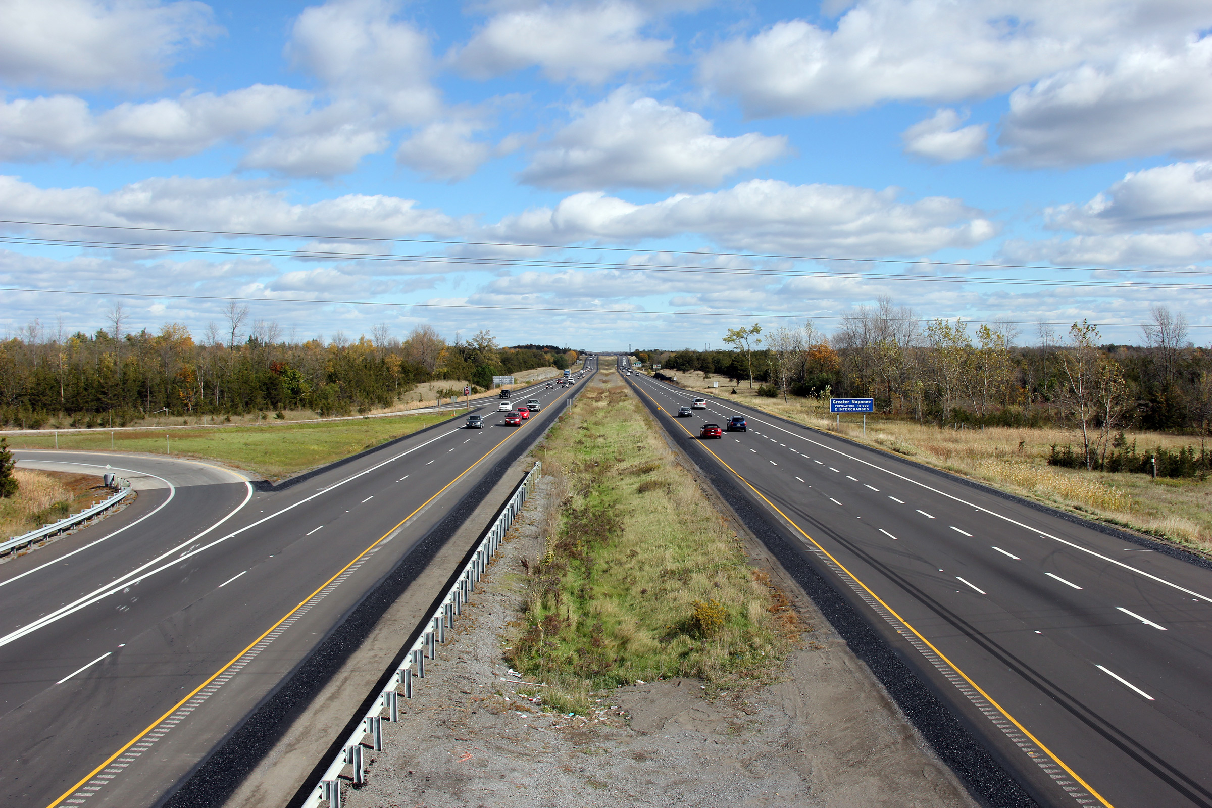
| Township of Tyendinaga County of Hastings |
Westerly view form the Deseronto Road overpass.
Photo taken: October 12th, 2012. |
 |
||
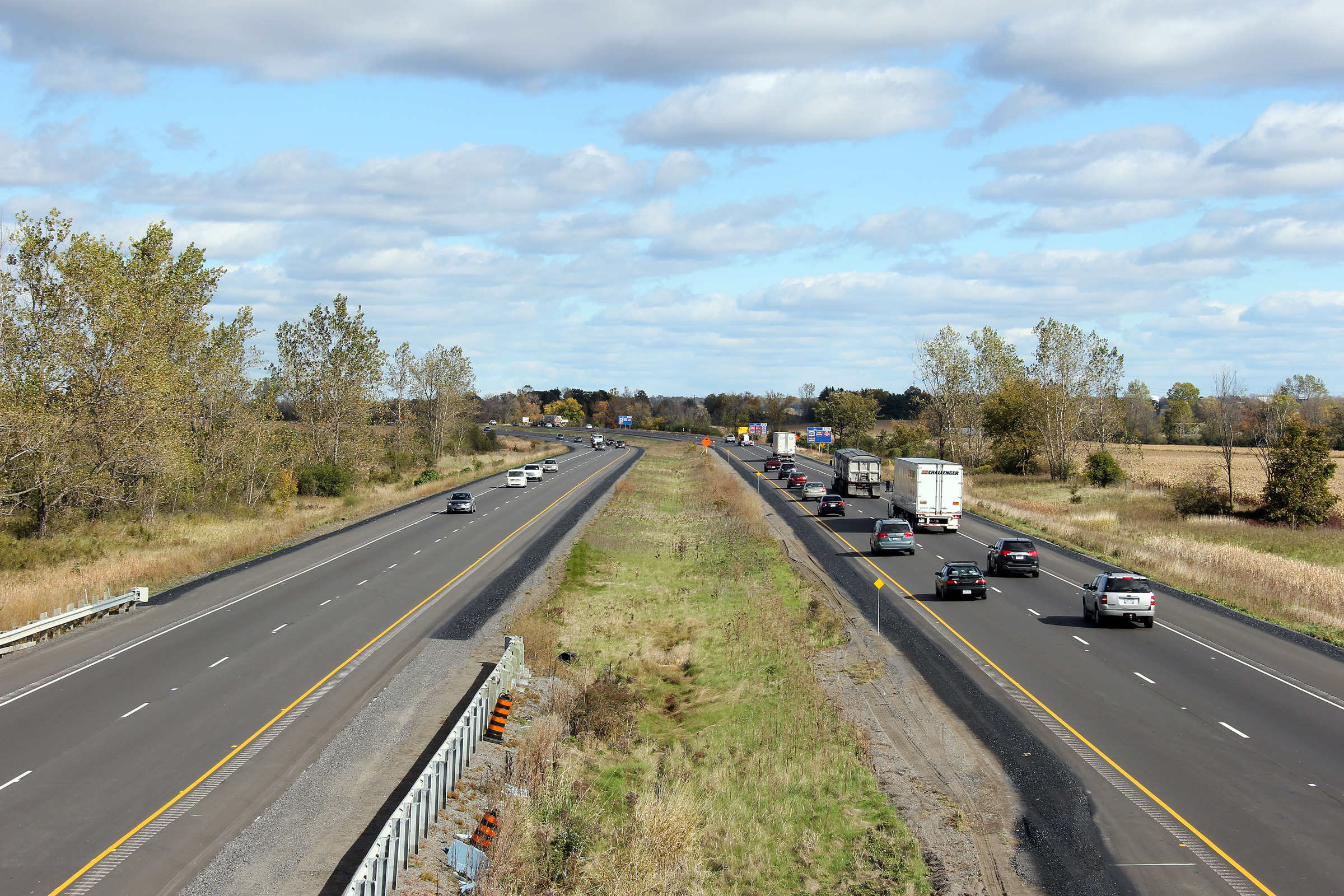
| Town of Greater Napanee County of Lennox & Addington |
Easterly view from Deseronto Road. The eastbound and westbound
carriageways have slightly different inside shoulder widths along this
portion of highway. Photo taken: October 12th, 2012. |
 |
||
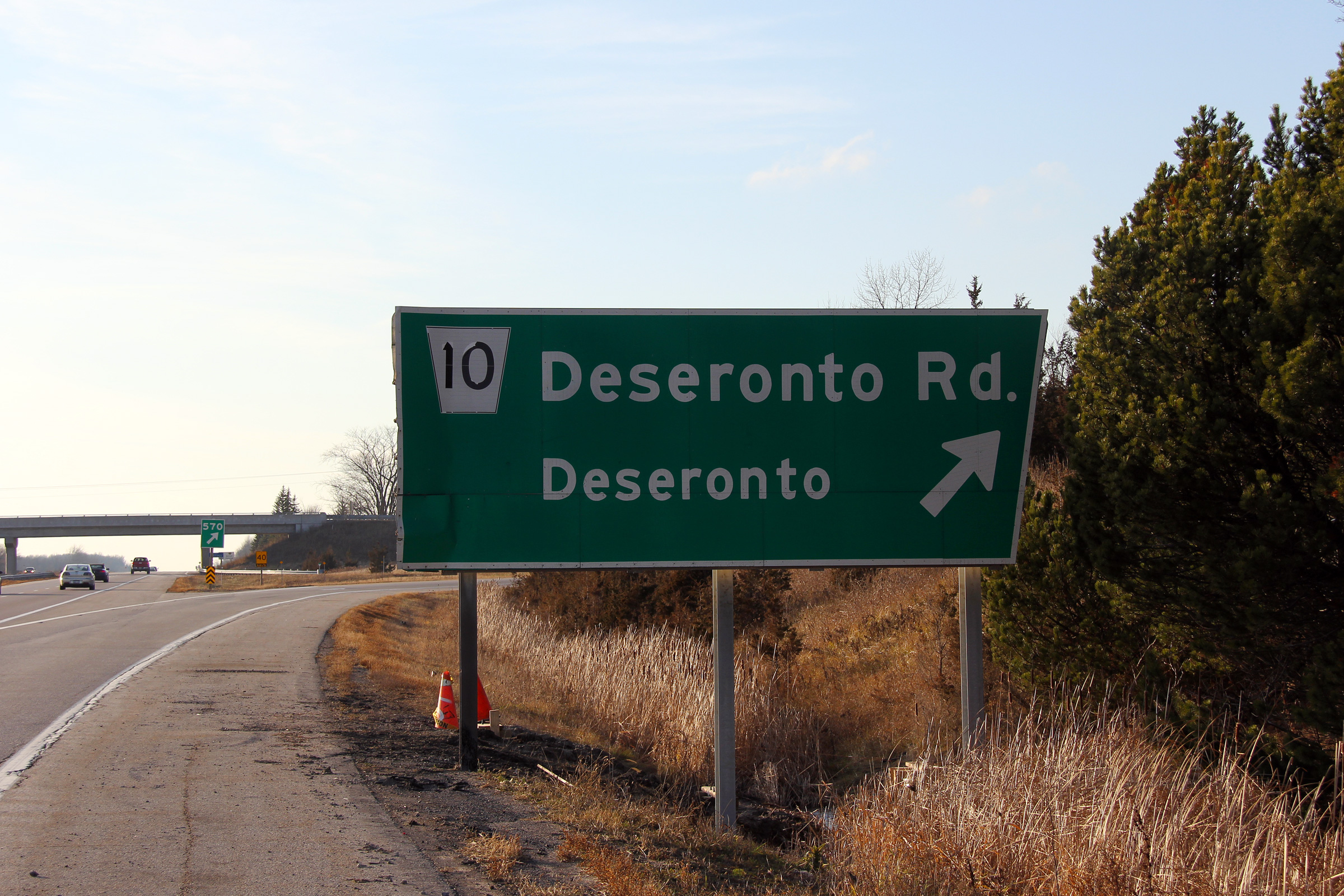
| Town of Greater Napanee County of Lennox & Addington |
View of the westbound angled edge turn-off sign for Deseronto Road.
The sign was replaced with a more modern design during the winter of 2012. Photo taken: December 3rd, 2011. |
 (720x480) (720x480)(1440x960) (2400x1600) |
||
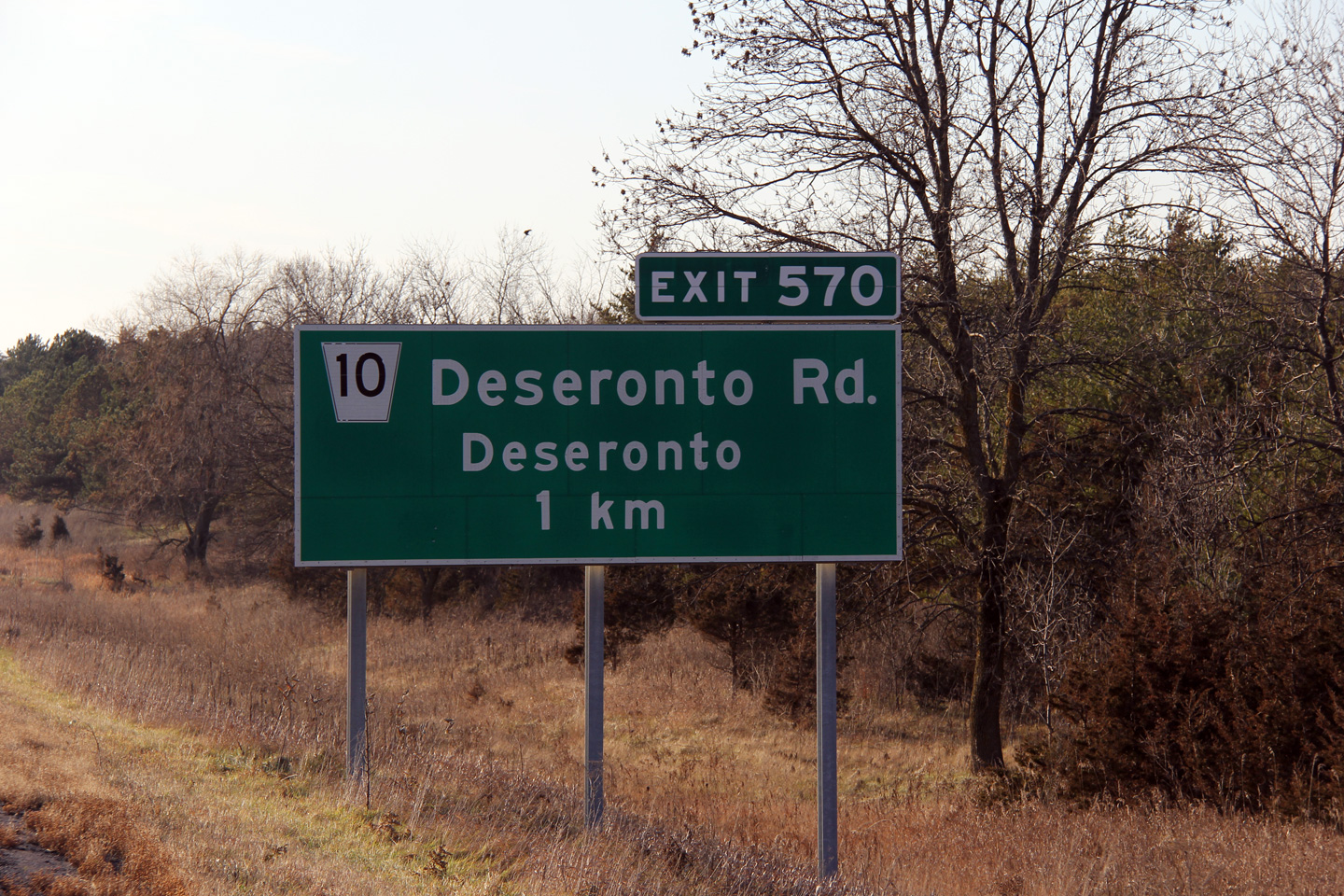
| Town of Greater Napanee County of Lennox & Addington |
Advanced signage for the Deseronto Road interchange. Photo taken: December 3rd, 2011. |
 (720x480) (720x480)(1440x960) |
||
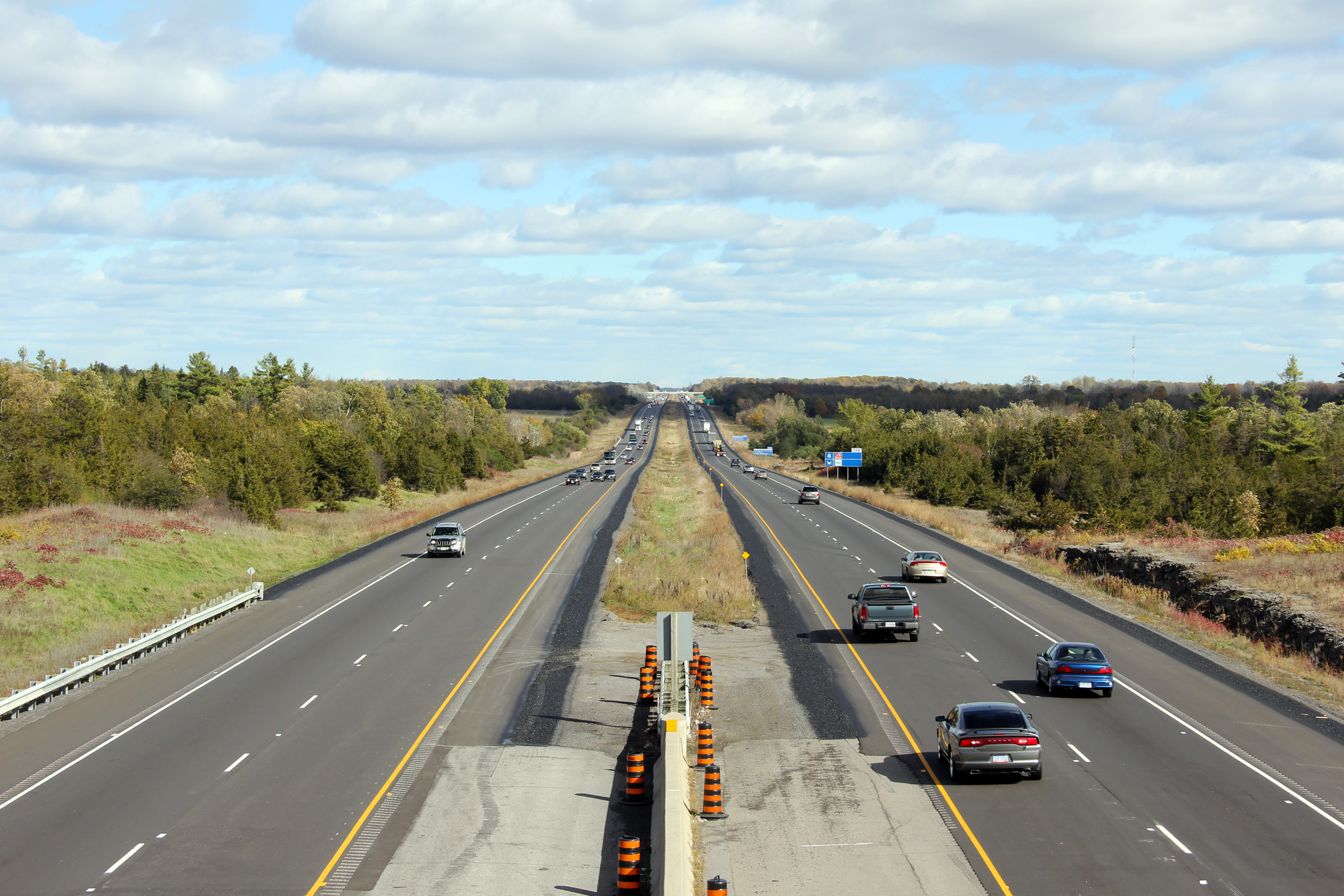
| Town of Greater Napanee County of Lennox & Addington |
View looking westerly from Beechwood Road. Photo taken: October 12th, 2012. |
 |
||
| Town of Greater Napanee County of Lennox & Addington |
Easterly view from the Beechwood Road overpass towards Napanee. Photo taken: October 12th, 2012. |
 |
||
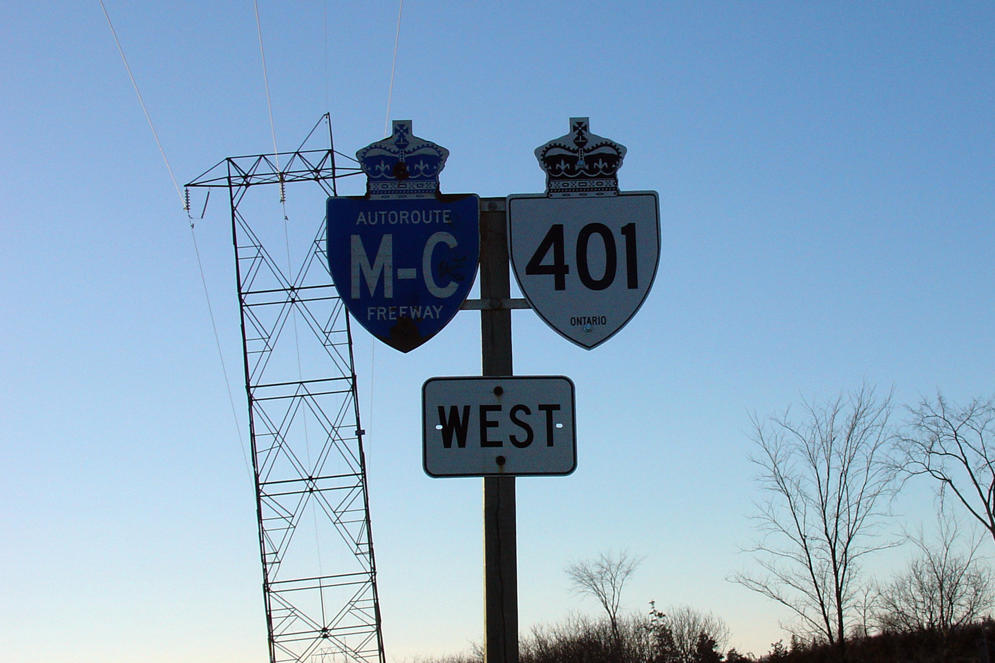
| Town of Greater Napanee County of Lennox & Addington |
Bilingual Macdonald-Cartier Freeway signage just west of Napanee along
Highway 401. This sign was removed in the Autumn of 2011. Photo taken: February 22nd, 2004. |
|
||
| Continue east via Kingston to Gananoque Images | ||||
<- Page 13 Images Highway 401 Images Index Page 15 Images ->
<- Highway 400 Images Back to Highway 401 Highway 402 Images ->
Copyright (c) 2004-2014, AsphaltPlanet.ca AsphaltPlanet@asphaltplanet.ca

