King's Highway 79 - Images
Photos shown in this table are arranged from South to North:
|
Proper Municipality Name |
Photo Description |
Photo |
|
|
Pictures taken from driver's perspective appear offset from centre-line pictures: |
North- |
South- |
|
| Municipality of Lambton Shores County of Lambton |
View
looking northerly into Thedford along Highway 79. Prior to being
incorporated into the Lambton County Road network, the Highway 79 connecting
link agreement began here. Photo taken: April 2005 |
 |
|
| Municipality of Lambton Shores County of Lambton |
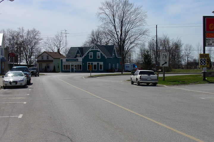
Northerly view of Highway 79 turning from Main Street to King Street.
Highway 79-North meets King Street at a sharp angle due to the former
railway alignment that ran between Main and Allen Streets. Photo taken: April 2005 |
|
|
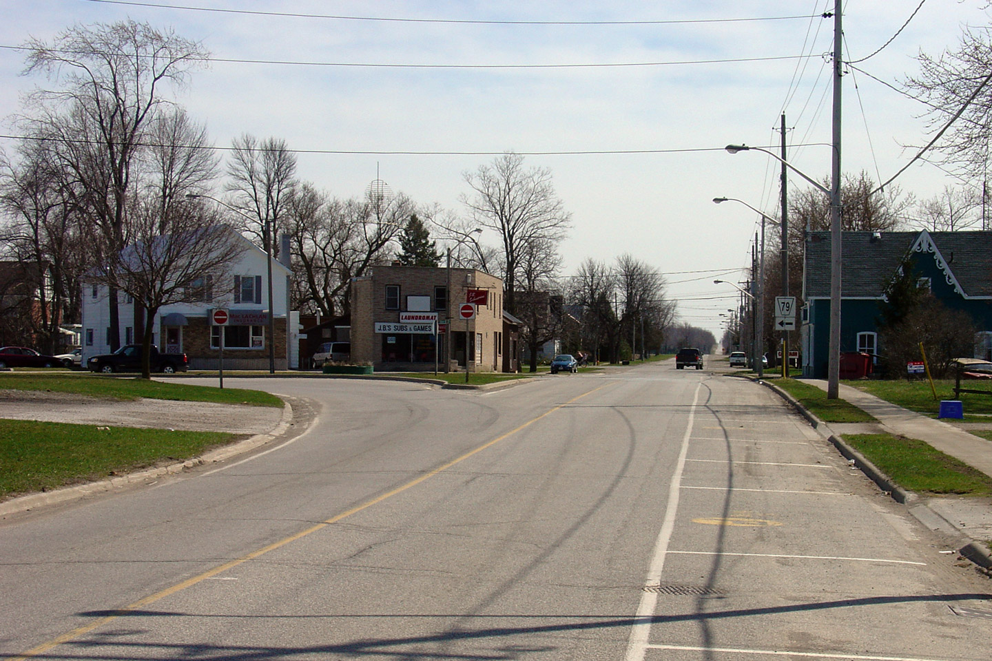
| Municipality of Lambton Shores County of Lambton |
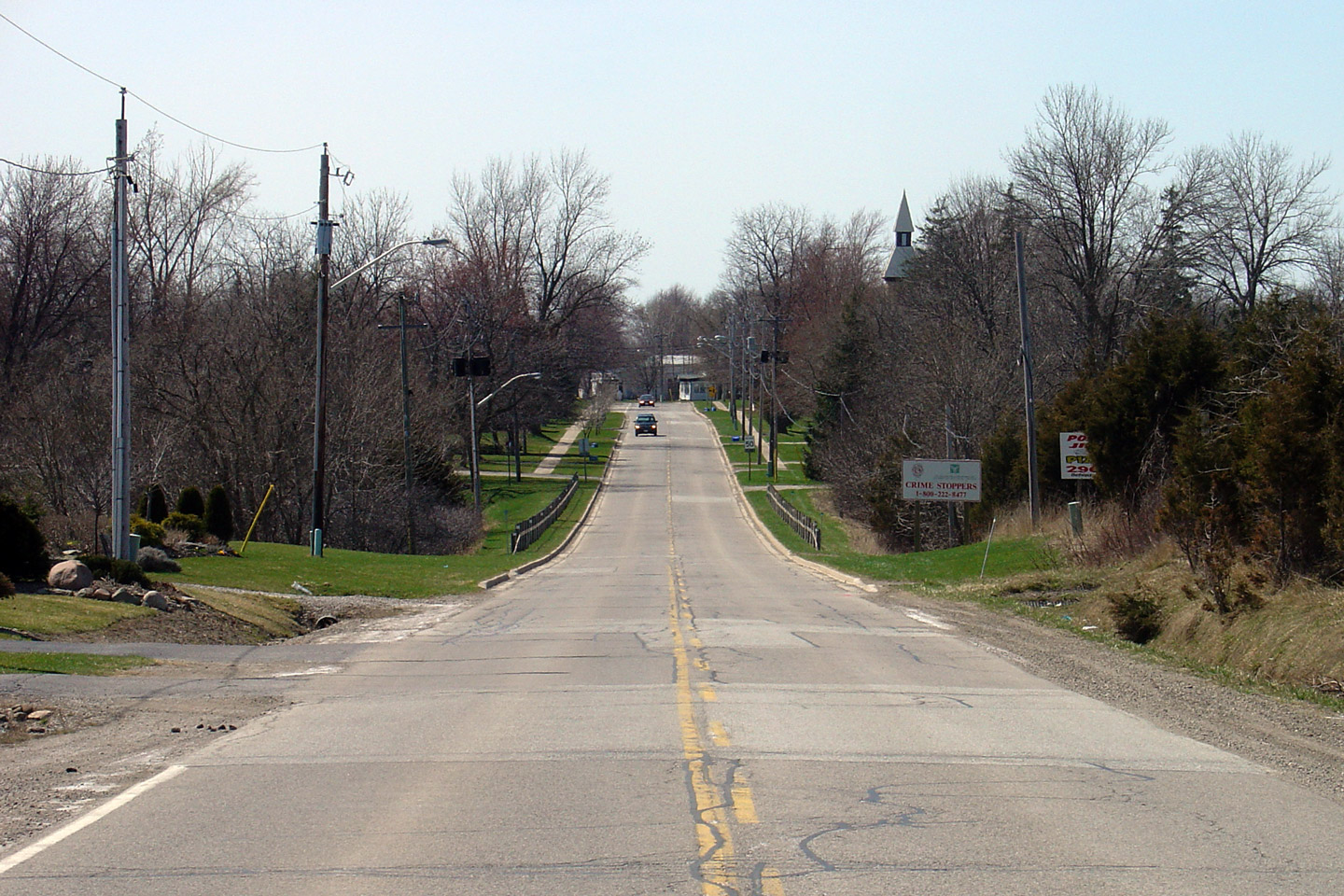
Southerly view towards the King and Main Street
intersection. Thedford is quite a sleepy Southwestern Ontario town.
This is exacerbated by the fact that the railway -- the only reason the town
existed in the first place -- has long been abandoned and
the tracks removed. Photo taken: April 2005 |
 |
|
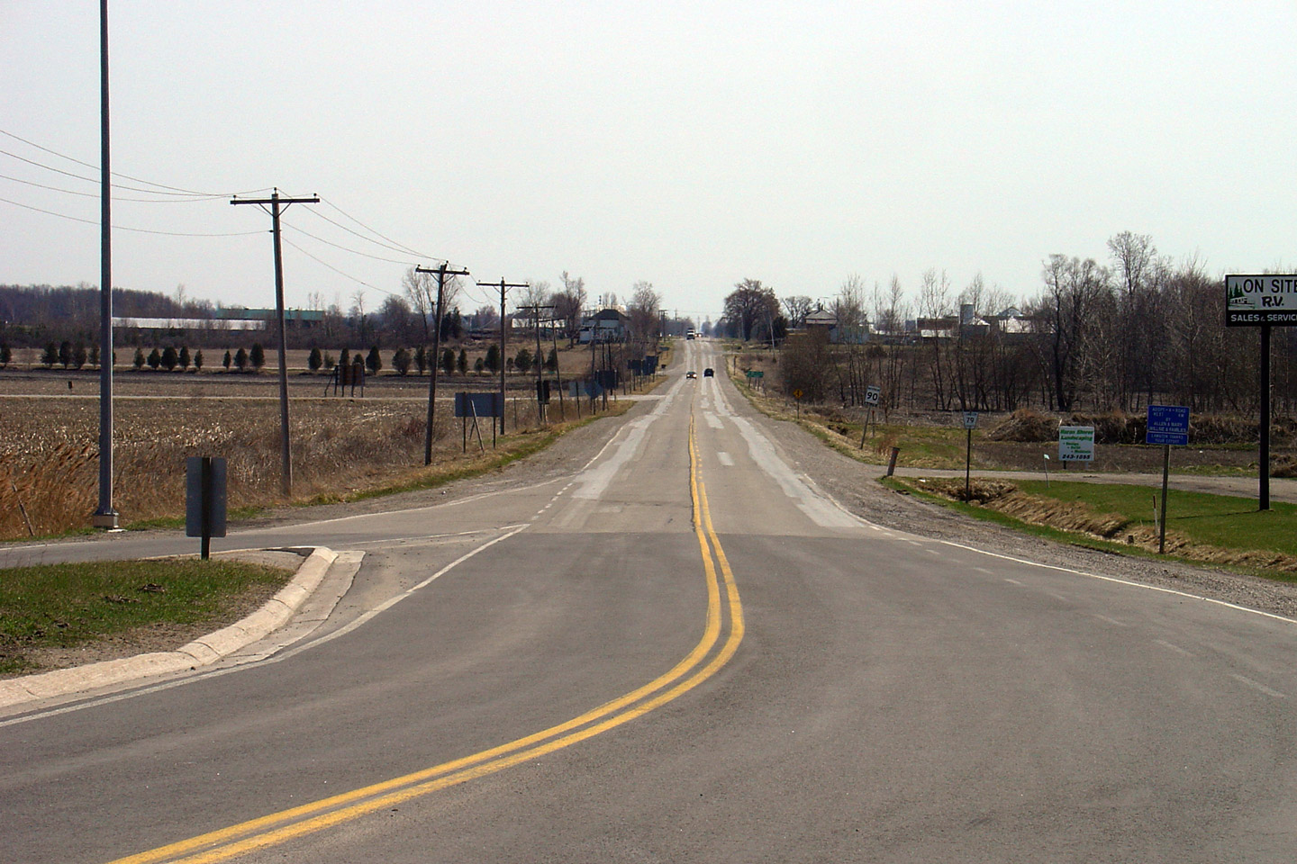
| Municipality of Lambton Shores County of Lambton |
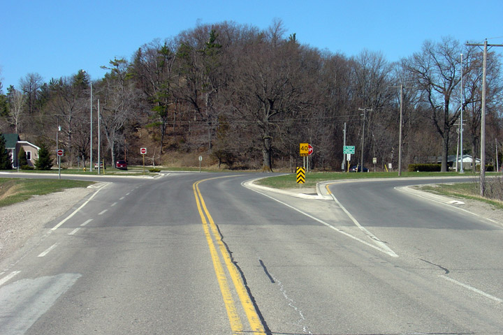
View
looking southerly along Highway 79 from the Highway 21 junction. I
don't often say this, but I am not saddened that Highway 79 was downloaded
to Lambton and Middlesex Counties. Photo taken: April 2005 |
|
|
| Municipality of Lambton Shores County of Lambton |
View of Highway 79's northern terminus at Highway 21. Photo taken: April 2005 |
 |
|
| Highway 79 ends at Highway 21 in the small community of Port Franks. Click here for Highway 21 images. |
<- Highway 78 Images Back to Highway 79 Highway 80 Images ->
Copyright (c) 2004-2010, Scott Steeves (Webmaster) scott@asphaltplanet.ca
