|
Proper Municipality Name |
Photo Description |
Photo |
|
Pictures taken
from driver's perspective appear offset from centre-line pictures: |
North-
Bound |
South-
Bound |
|
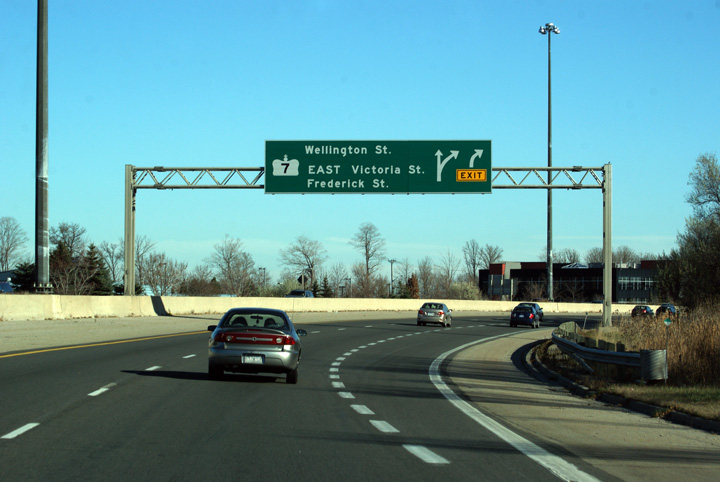
Highway 85 ends at Highway 7. Highway 7
continues west along the freeway to Stratford, and heads east along Victoria
Street to Guelph. Click
here
for Highway 7 West, and
here
for Highway 7 East |
City of Kitchener
Regional Municipality of Waterloo |
View looking south at the southern terminus of Highway 85 (formerly Highway
86) from Victoria Street. South of Victoria Street, the Conestoga
Parkway carries the Highway 7 designation.
Photo taken: August 3rd, 2008. |

Low-res
High-res |
City of Kitchener
Regional Municipality of Waterloo |
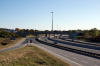
View looking northerly from the Victoria Street overpass towards the GEXR
overpass.
Photo taken: August 3rd, 2008. |

Low-res
High-res |
City of Kitchener
Regional Municipality of Waterloo |
Southerly view from Wellington Street towards the GEXR overpass.
Photo taken: October 18th, 2009. |
Low-res
High-res |
City of Kitchener
Regional Municipality of Waterloo |
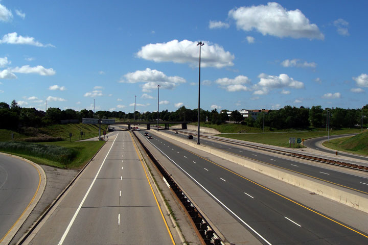
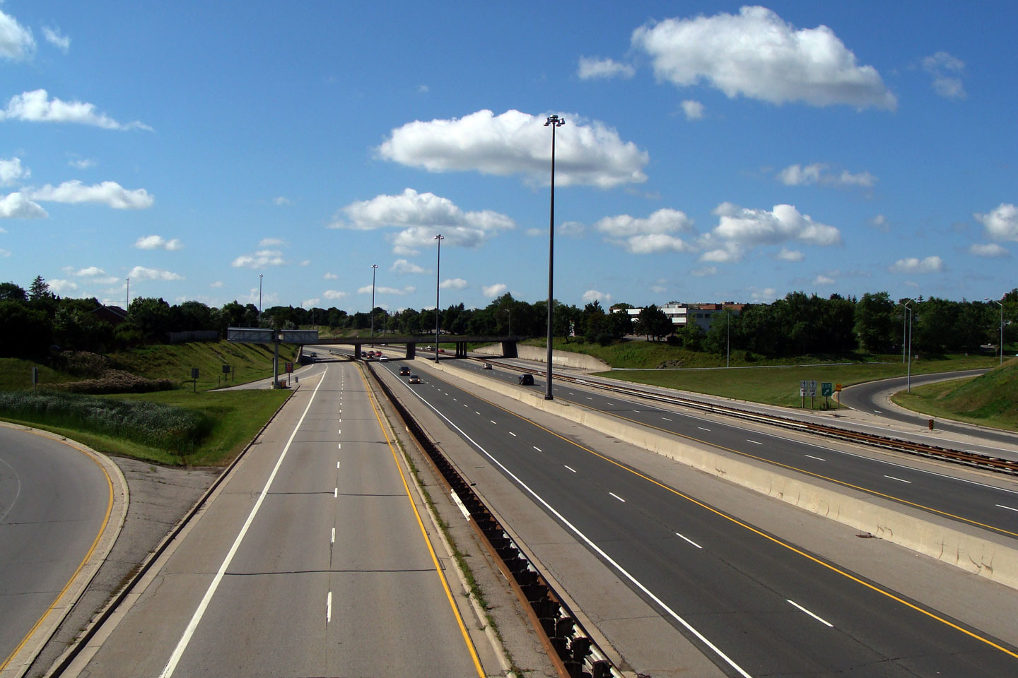
Northerly view from Wellington Street. Wellington Street meets the
Conestoga Parkway at a parclo AB4 interchange with a considerable footprint.
Wellington Street itself is a four-lane divided boulevard as it crosses the
freeway. When first constructed, Wellington Street was to envisioned
to the first phase of a new four-lane Highway 7 diversion by-passing
Victoria Street in Kitchener. While today (2009) a new highway is to
be constructed between Kitchener and Guelph meeting the Parkway at the
present Wellington Street interchange, the Wellington Street interchange is
to be entirely reconfigured to avoid the use of loop ramps between Highway
7-New and the Conestoga Parkway.
Photos taken: October 18th, 2009. |
Low-res
High-res
Low-res
High-res |
City of Kitchener
Regional Municipality of Waterloo |
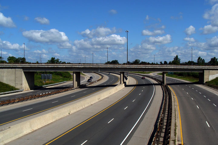
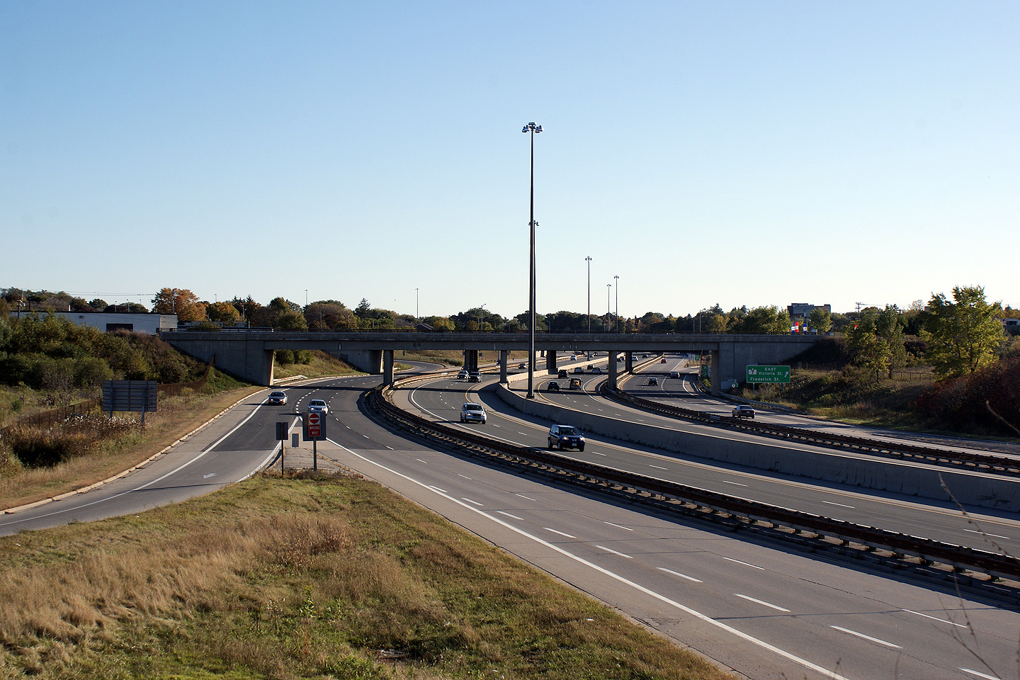
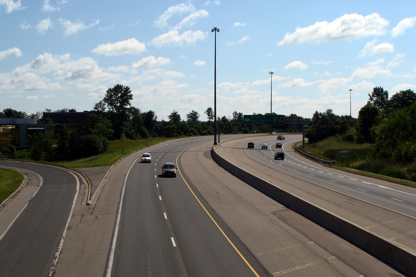
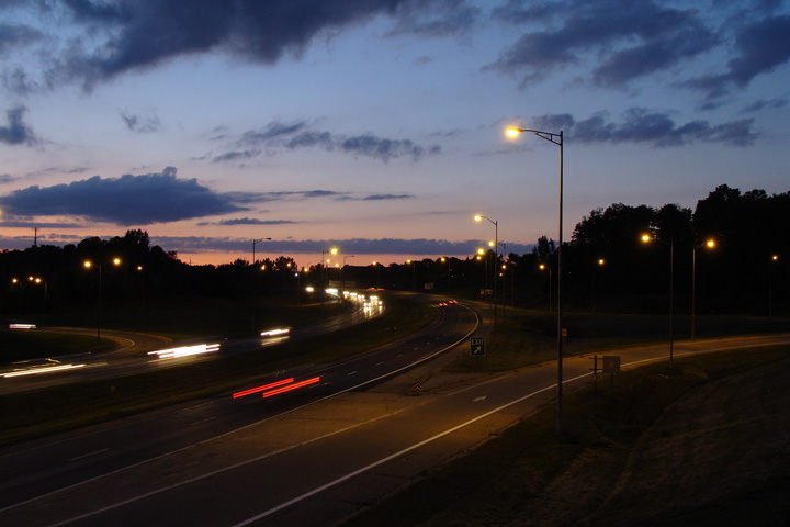
Southbound view as the collector lane begins for the tightly spaced
Wellington Street and Victoria Street interchanges. Highway 85
continues southerly for approximately 1km before being engulfed by Highway
7.
Photo taken: November 14th, 2009. |
 Low Res Low Res
High Res |
City of Kitchener
Regional Municipality of Waterloo |
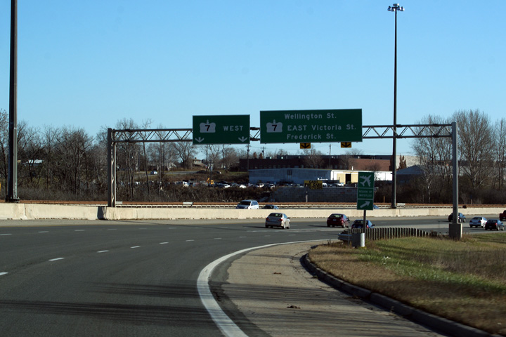
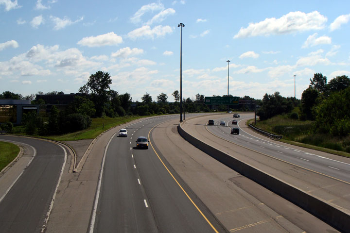
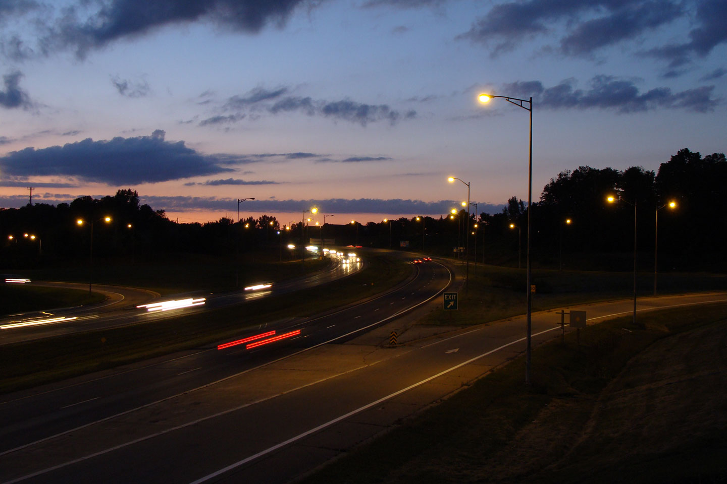
View looking southerly approaching the ramps to Wellington Street, Victoria
Street, and Frederick Street. Though it is not indicated on the
signage, this is the southbound start of a short express/collector lane
system. Through traffic may utilize all lanes to continue to Highway 7
West.
Photo taken: November 14th, 2009. |
 Low Res Low Res
High Res |
City of Kitchener
Regional Municipality of Waterloo |
Southbound view from Lancaster Street. Highway 85 widens from the
pictured four-lane freeway to an eight-lane highway with an
express-collector setup very abruptly passed this photo.
Photo taken: August 3rd, 2008. |
Low-res
High-res |
City of Waterloo
Regional Municipality of Waterloo |
Two views looking north along the Parkway from Lancaster Street in
Kitchener. Note the very short weave lane between the Southbound
on-ramp from Bridgeport Road and the off-ramp for Lancaster Street.
While this weave condition probably wouldn't be designed on a freeway today,
it works surprisingly well.
Photo taken: August 3rd, 2008. |

Low-res
High-res
Low-res
High-res |
City of Waterloo
Regional Municipality of Waterloo |
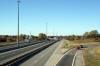
View looking north along Highway 85 from the Bridgeport Road underpass.
Photo taken: August 3rd, 2008. |

Low-res
High-res |
City of Waterloo
Regional Municipality of Waterloo |
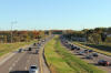
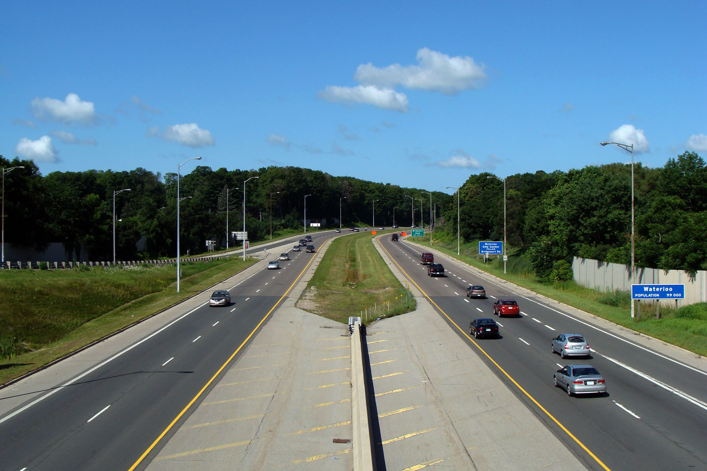
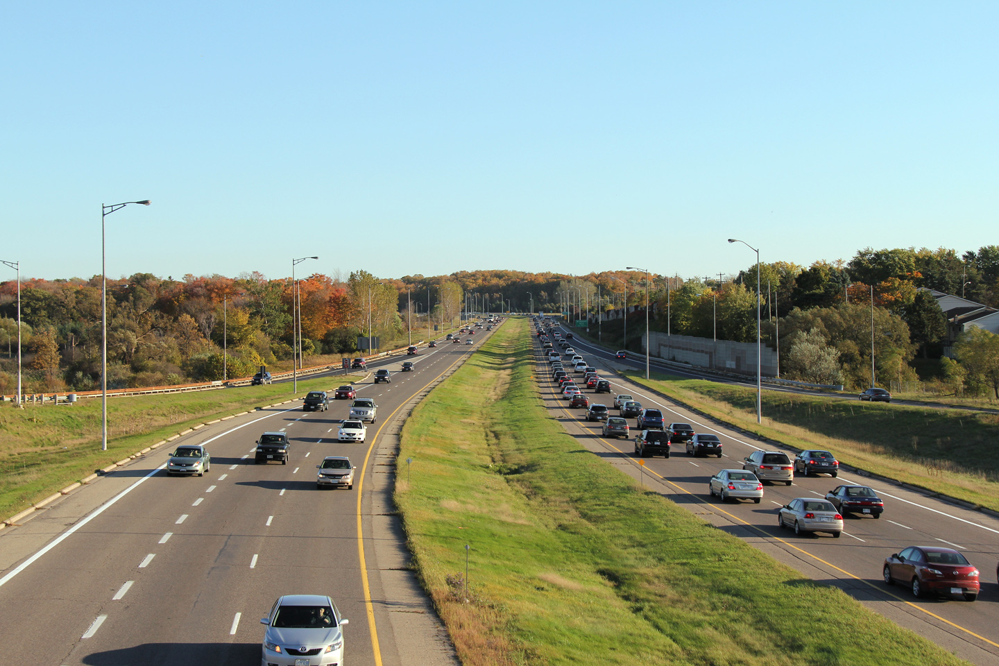
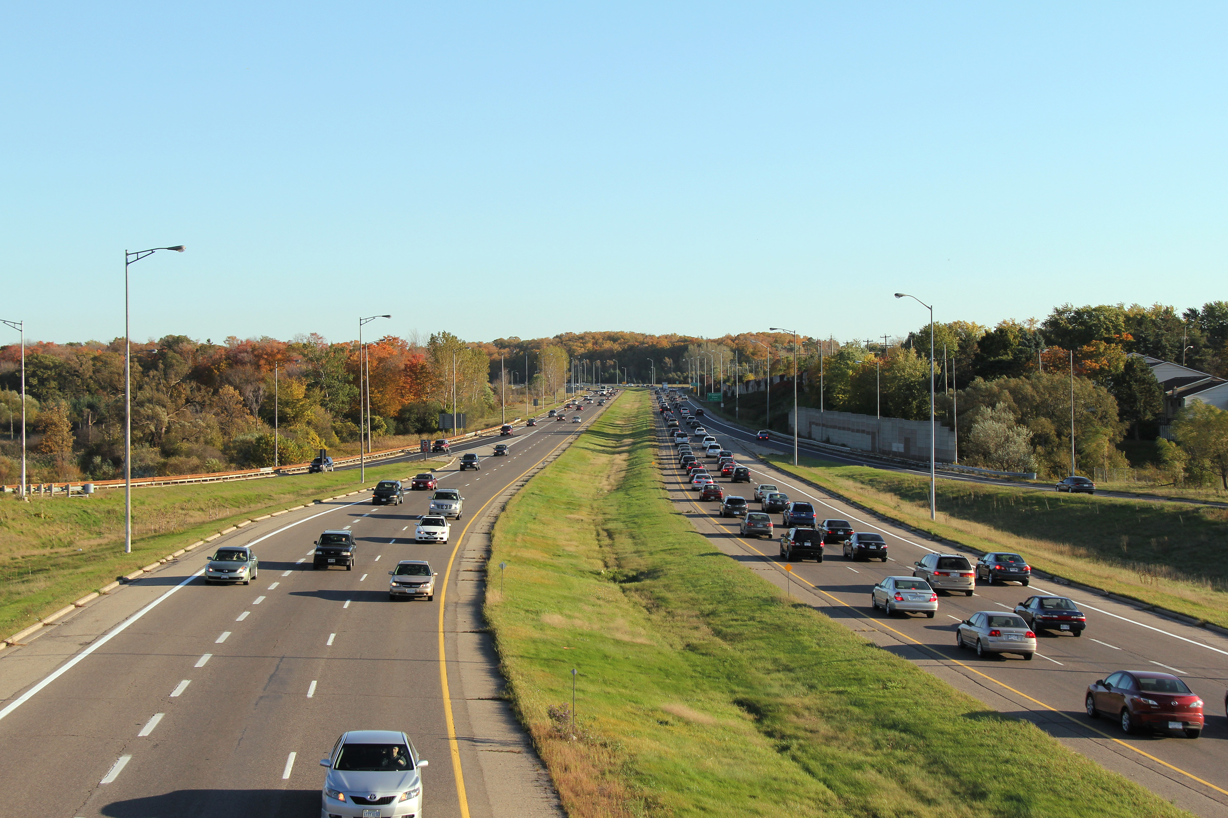
Two views looking southerly along Highway 85 from the University Avenue.
These photos were taken at the height of the afternoon rush hour.
Traffic snarls in the southbound direction are common along Highway 85
between University Avenue and Bridgeport Road during the PM peak hour.
Photos taken: October 8th, 2010. |
(720x480)
(1440x960)
(2400x1600)
(720x480)
(1440x960)
(2400x1600) |
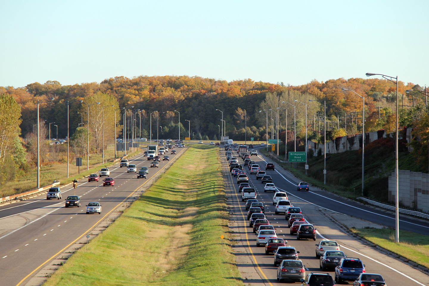
City of Waterloo
Regional Municipality of Waterloo |
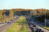
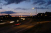
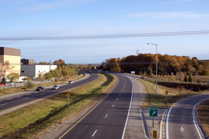
Daytime and nighttime view looking northerly from the University Avenue overpass.
The Conestoga Parkway is quickly becoming one of the few freeways in Ontario
where truss lighting is still used. Truss lighting was common on urban
freeways constructed between the mid 1960s and the mid 1980s.
Upper photo taken: October 8th, 2010.
Lower photo taken: September 18th, 2008. |

(720x480)
(1440x960)
(2400x1600)
Low-res
High-res |
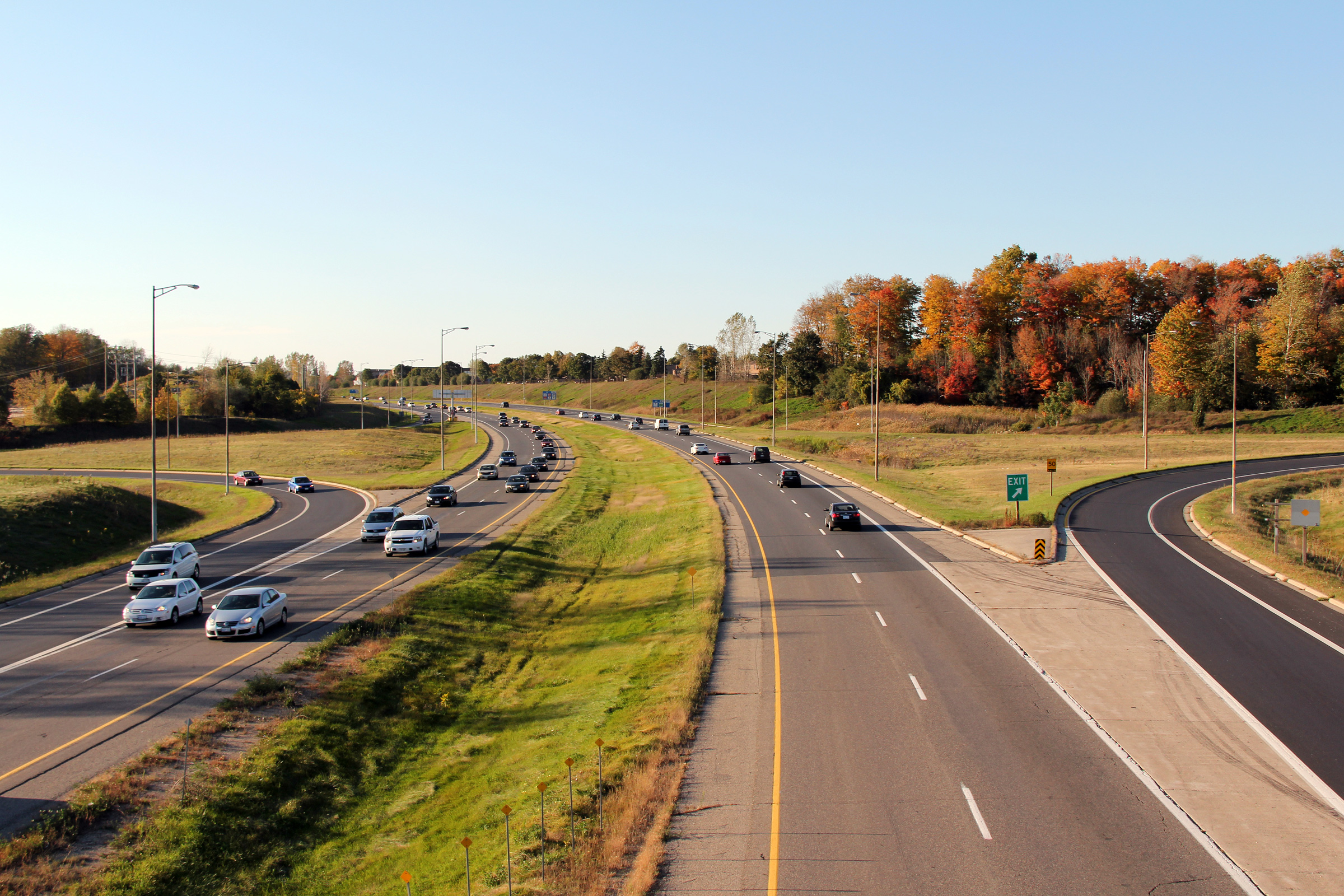
City of Waterloo
Regional Municipality of Waterloo |
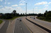
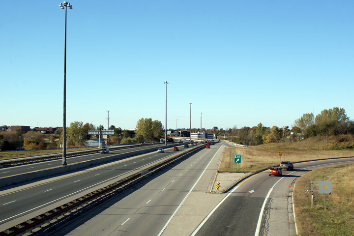
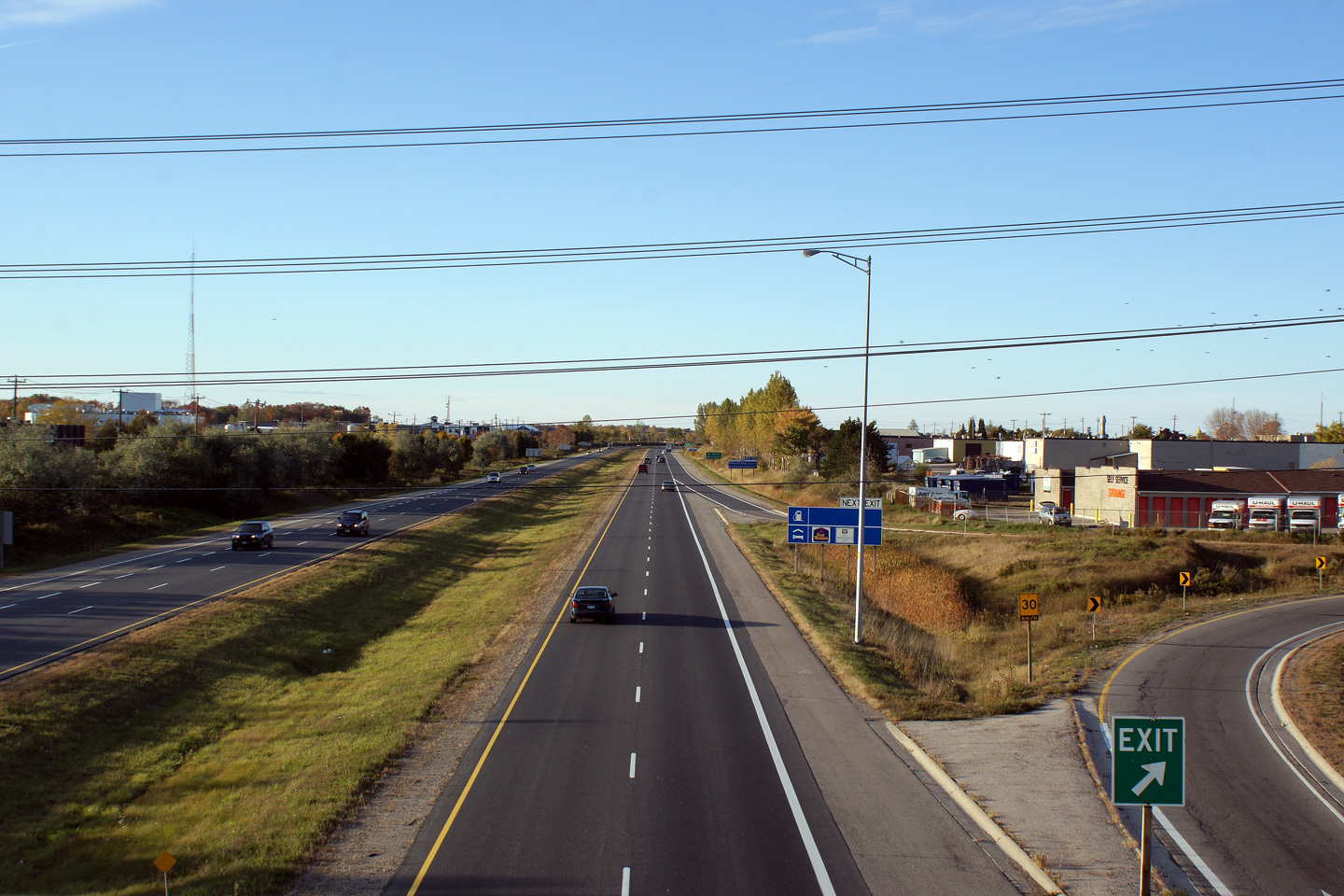
View looking north from the Lexington Drive overpass towards the approach to
the King Street interchange.
Photo taken: August 3rd, 2008. |
 Low Res Low Res
High Res |
City of Waterloo
Regional Municipality of Waterloo |
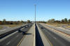
Southerly view from the Northfield
Drive overpass along Highway 85. Northfield Drive meets the Parkway at
a very tight parclo b2 interchange. It would seem that the
construction of an interchange at Northfield was very much an afterthought
to address congestion along King Street.
Photo taken: October 14th, 2009. |
Low-res
High-res |
City of Waterloo
Regional Municipality of Waterloo |
Northerly view from the Northfield
Drive overpass.
Photo taken: October 14th, 2009. |
Low-res
High-res |
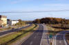
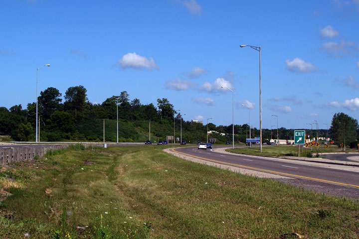
Township of Woolwhich
Regional Municipality of Waterloo |
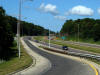
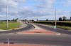
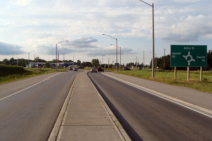
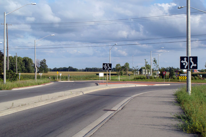
View looking northerly towards the
Sawmill Road roundabout. This roundabout was constructed in 2005 by
the Regional Municipality of Waterloo.
Photo taken: August 24th, 2008. |
Low-res
High-res |
Township of Woolwhich
Regional Municipality of Waterloo |
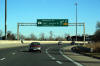
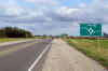
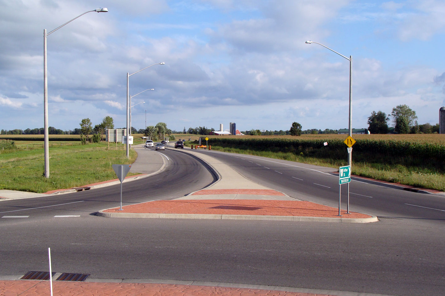
Signage in the splitter island of
Highway 85's southern approach.
Photo taken: August 24th, 2008. |
 Low Res Low Res
High Res |
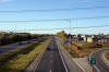
Township of Woolwhich
Regional Municipality of Waterloo |
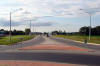
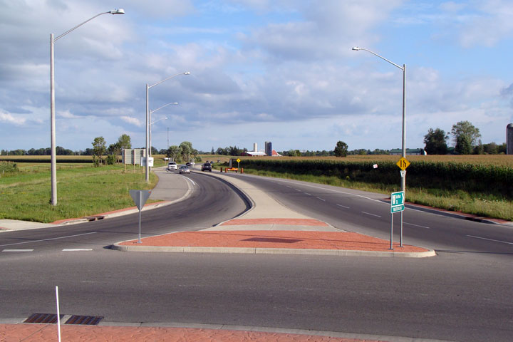
View of the southern leg of the
Sawmill Road roundabout as seen from the central median of the roundabout.
Photo taken: August 24th, 2008. |
Low-res
High-res |
Township of Woolwhich
Regional Municipality of Waterloo |
View of the northern leg of the
roundabout. Waterloo Region has been very progressive with both
roundabout design and implementation.
Photo taken: August 24th, 2008. |
Low-res
High-res |
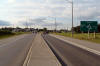
Township of Woolwhich
Regional Municipality of Waterloo |
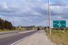
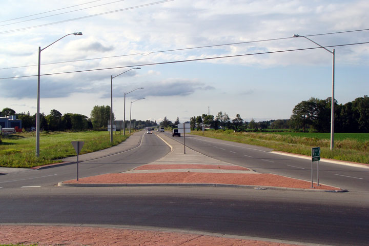
View looking southerly at the northern approach to the Sawmill Road
roundabout.
Photo taken: August 24th, 2008. |

Low-res
High-res |
Township of Woolwhich
Regional Municipality of Waterloo |
Second southbound approach signage, this time detailing the road names.
Photo taken: August 24th, 2008. |
Low-res
High-res |
Township of Woolwhich
Regional Municipality of Waterloo |
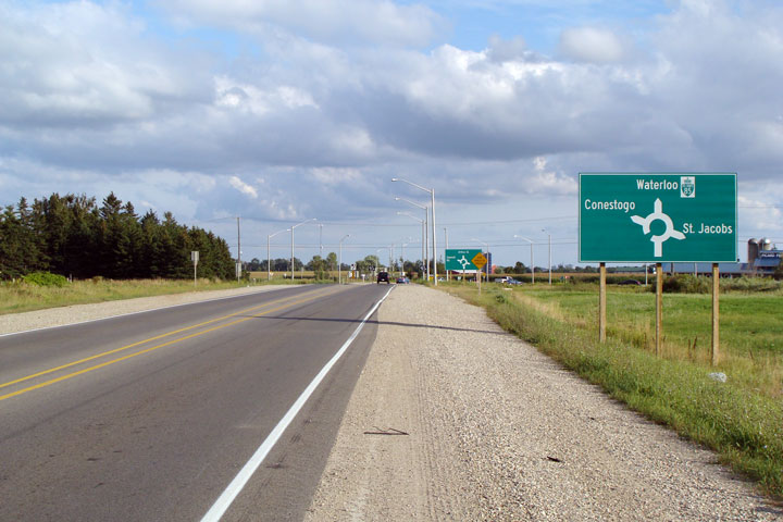
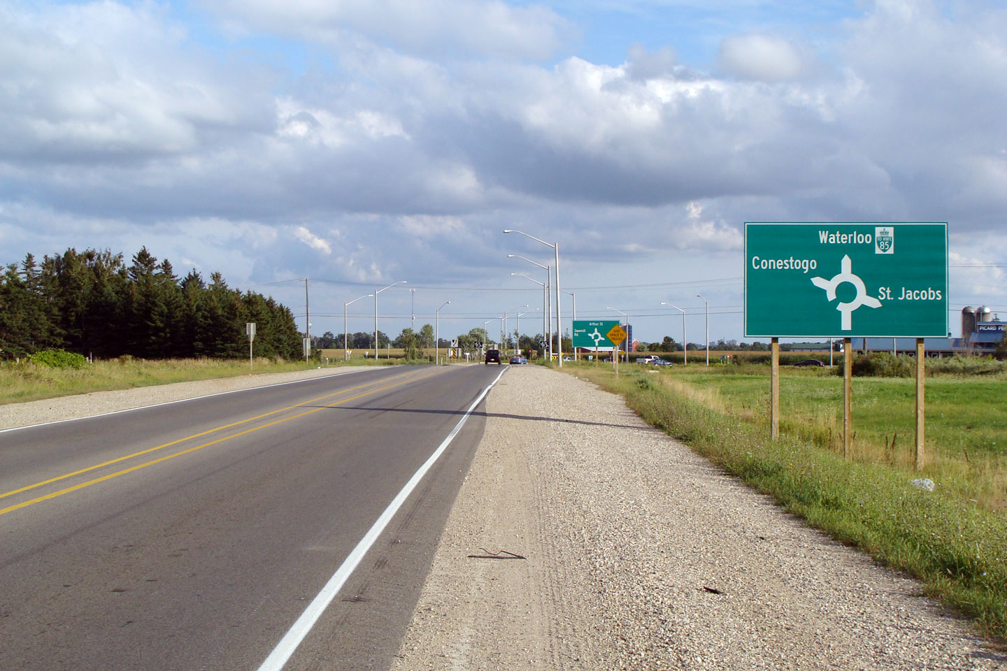
The first southbound approach signage denotes simply the neighbouring
communities.
Photo taken: August 24th, 2008. |
Low-res
High-res |


 Low Res
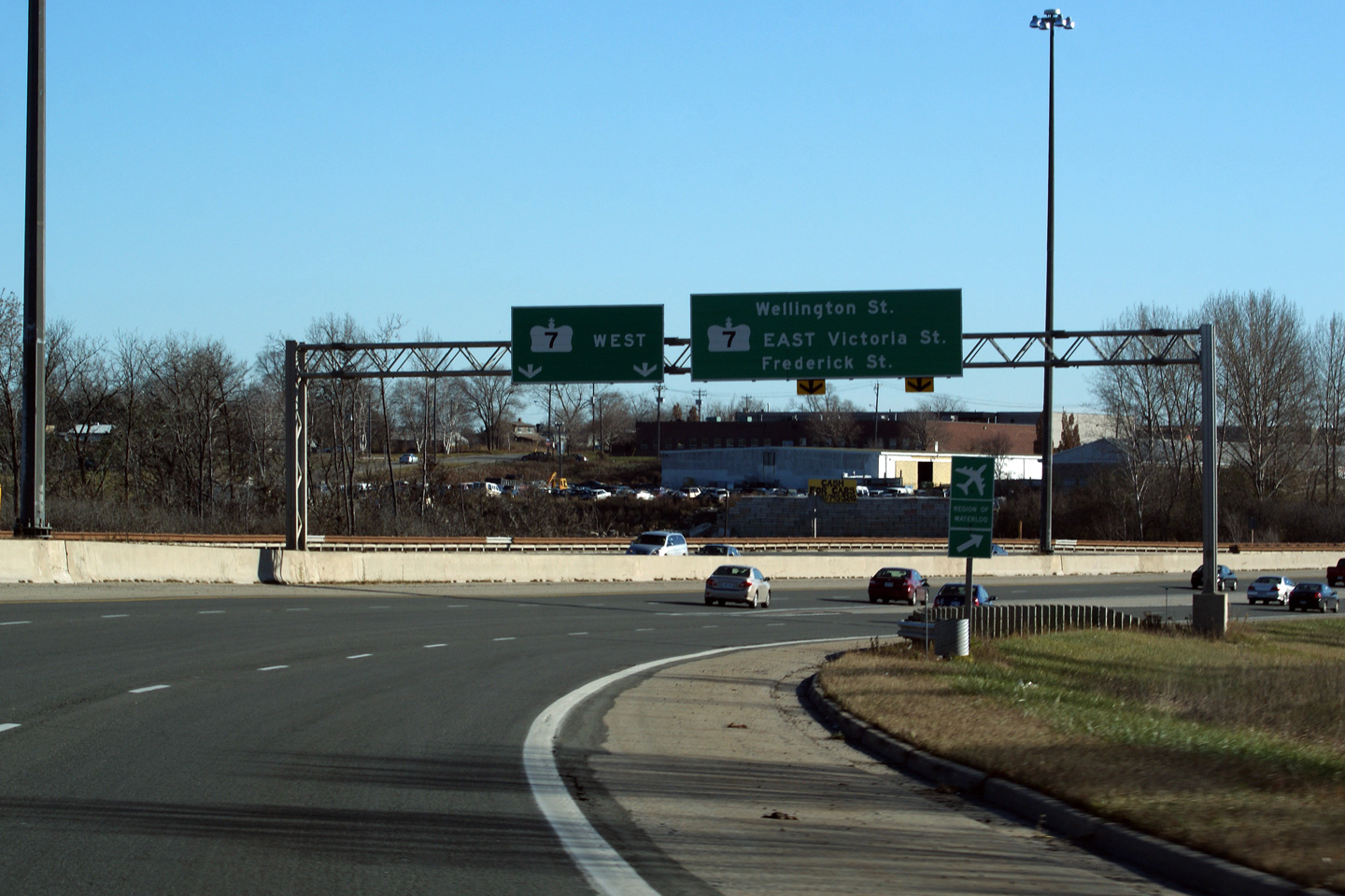
 Low Res


 Low Res
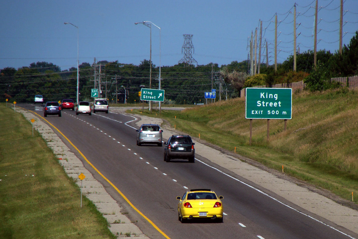

 Low Res
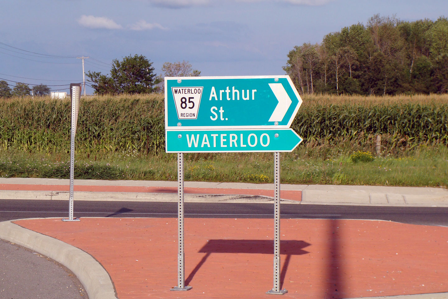
