|
Proper Municipality Name |
Photo Description |
Photo |
|
Pictures taken
from driver's perspective appear offset from centre-line pictures: |
North-
Bound |
South-
Bound |
|
Highway 85 ends at Highway 7. Highway 7
continues west along the freeway to Stratford, and heads east along Victoria
Street to Guelph. Click
here
for Highway 7 West, and
here
for Highway 7 East |
City of Kitchener
Regional Municipality of Waterloo |
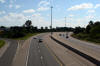
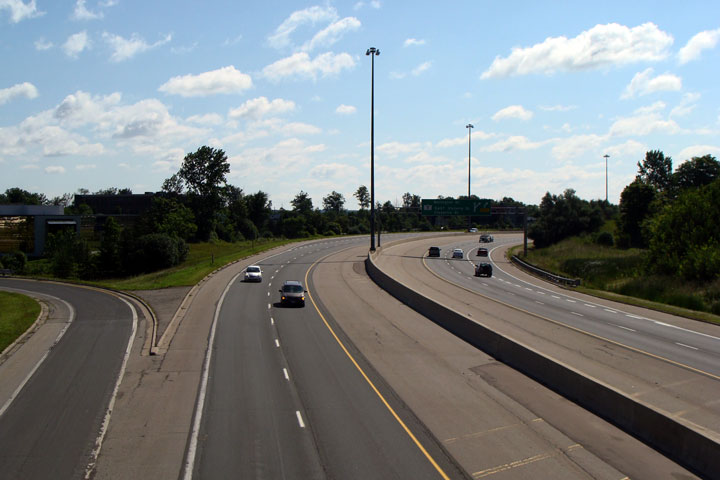
View looking south at the southern terminus of Highway 85 (formerly Highway
86) from Victoria Street. South of Victoria Street, the Conestoga
Parkway carries the Highway 7 designation.
Photo taken: August 3rd, 2008. |

Low-res
High-res |
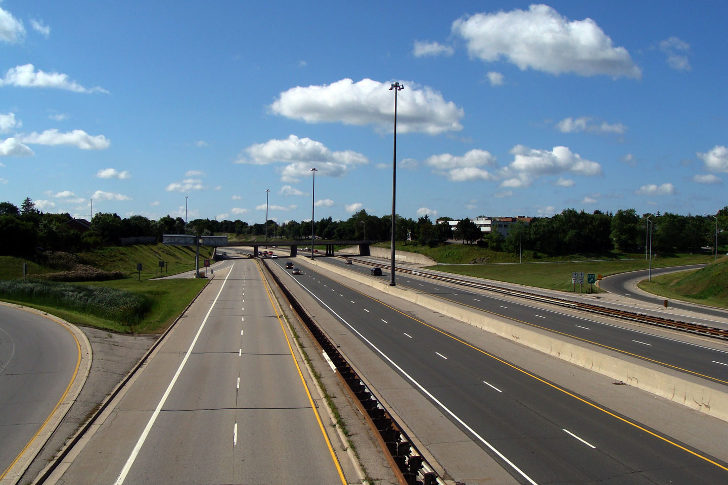
City of Kitchener
Regional Municipality of Waterloo |
View looking northerly from the Victoria Street overpass towards the GEXR
overpass.
Photo taken: August 3rd, 2008. |

Low-res
High-res |
City of Kitchener
Regional Municipality of Waterloo |
Southbound view from Lancaster Street.
Photo taken: August 3rd, 2008. |
Low-res
High-res |
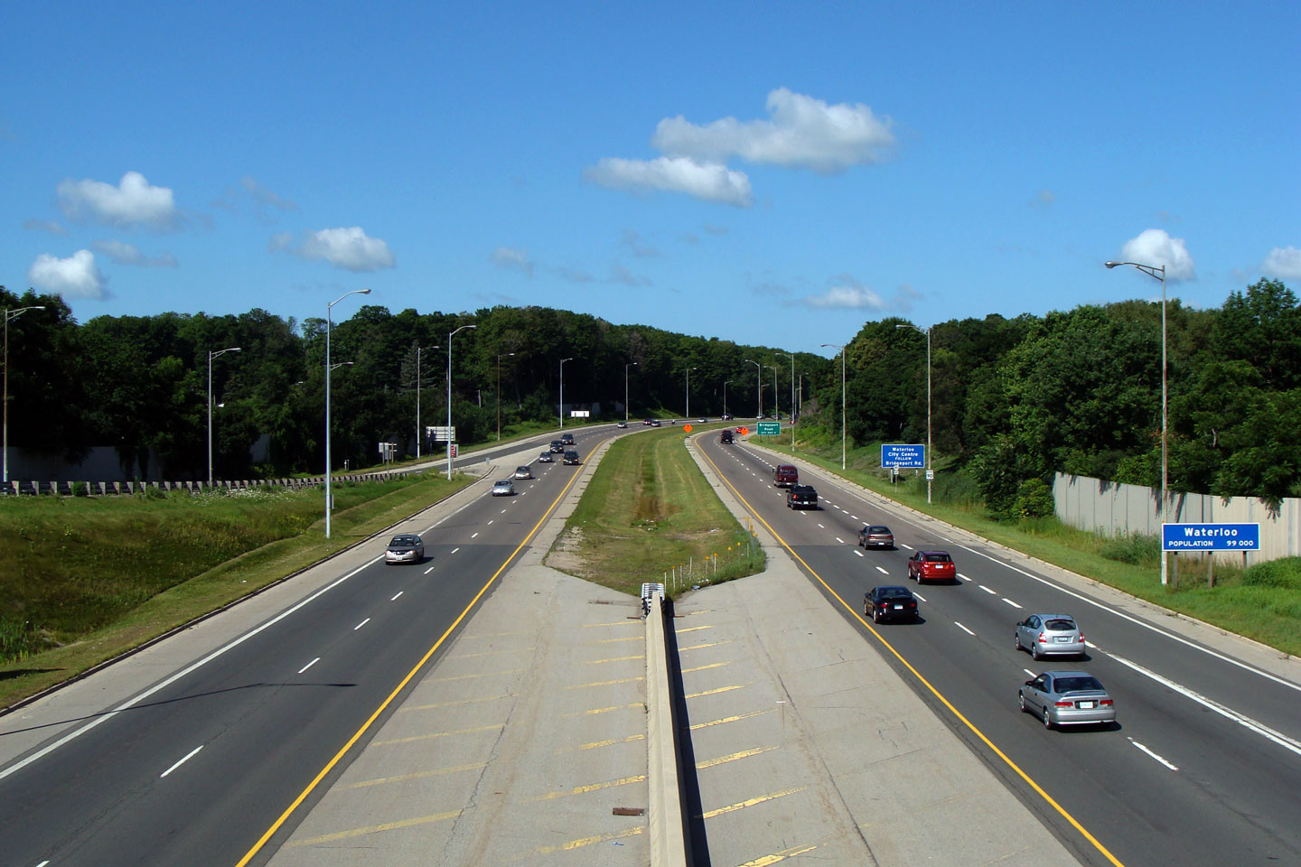
City of Waterloo
Regional Municipality of Waterloo |
Two views looking north along the Parkway from Lancaster Street in
Kitchener. Note the very short weave lane between the Southbound
on-ramp from Bridgeport Road and the off-ramp for Lancaster Street.
While this weave condition probably wouldn't be designed on a freeway today,
it works surprisingly well.
Photo taken: August 3rd, 2008. |

Low-res
High-res
Low-res
High-res |
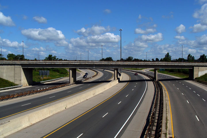
City of Waterloo
Regional Municipality of Waterloo |
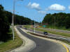
View looking north along Highway 85 from the Bridgeport Road underpass.
Photo taken: August 3rd, 2008. |

Low-res
High-res |
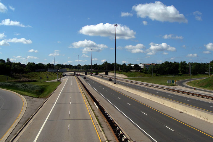
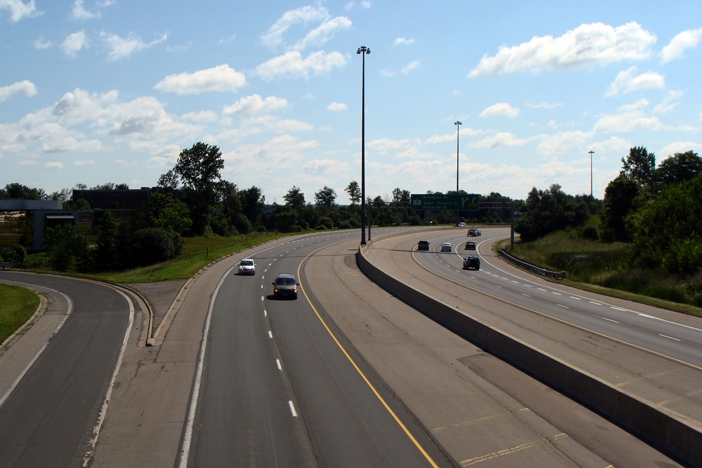
City of Waterloo
Regional Municipality of Waterloo |
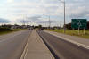
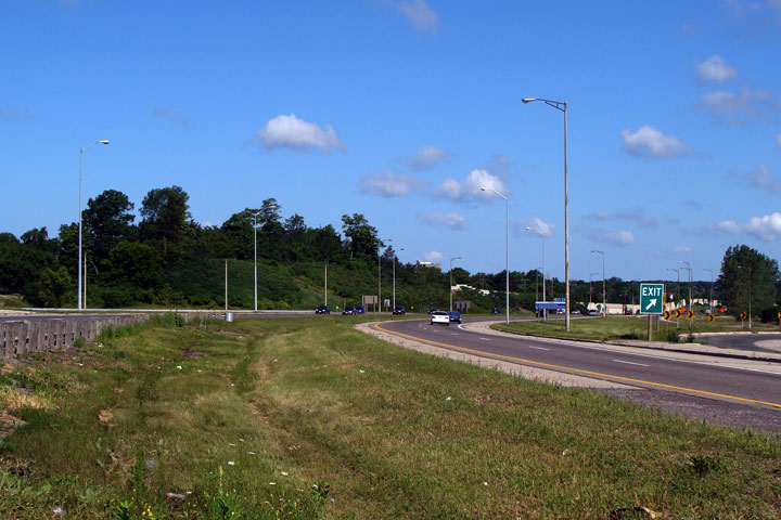
View looking north from the Lexington Drive overpass towards the approach to
the King Street interchange.
Photo taken: August 3rd, 2008. |
 Low Res Low Res
High Res |
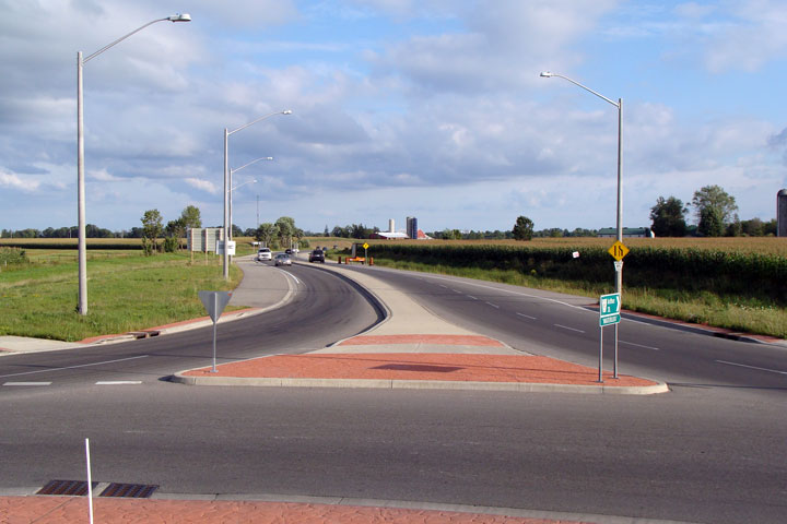
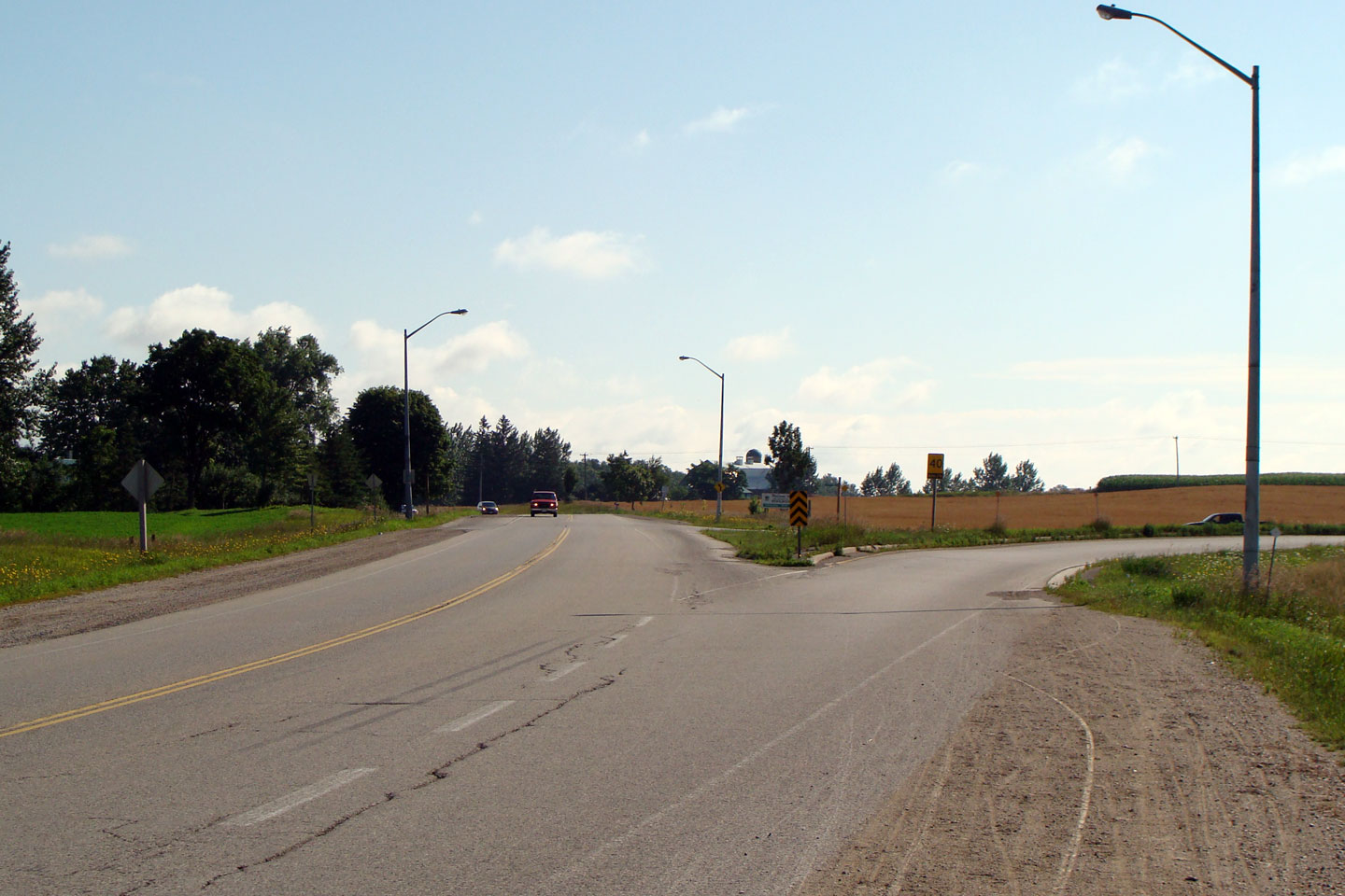
Township of Woolwich
Regional Municipality of Waterloo |
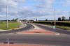
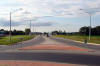
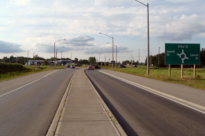
View looking northerly towards the
Sawmill Road roundabout. This roundabout was constructed in 2005 by
the Regional Municipality of Waterloo.
Photo taken: August 24th, 2008. |
Low-res
High-res |
Township of Woolwich
Regional Municipality of Waterloo |
Signage in the splitter island of
Highway 85's southern approach.
Photo taken: August 24th, 2008. |
 Low Res Low Res
High Res |
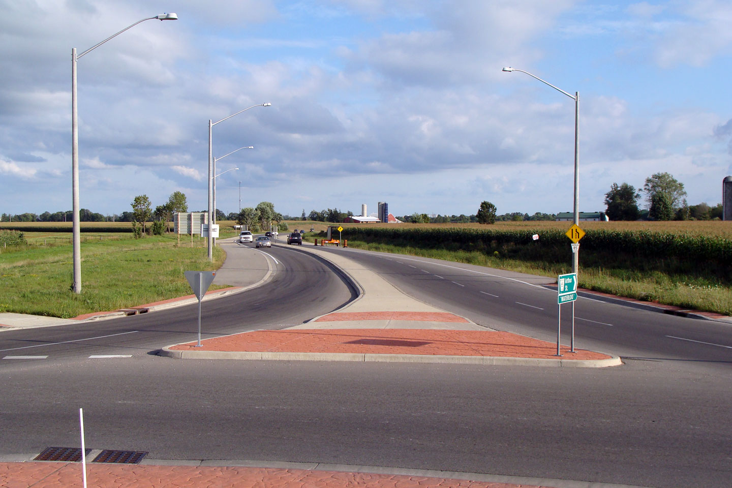
Township of Woolwich
Regional Municipality of Waterloo |
View of the southern leg of the
Sawmill Road roundabout as seen from the central median of the roundabout.
Photo taken: August 24th, 2008. |
Low-res
High-res |
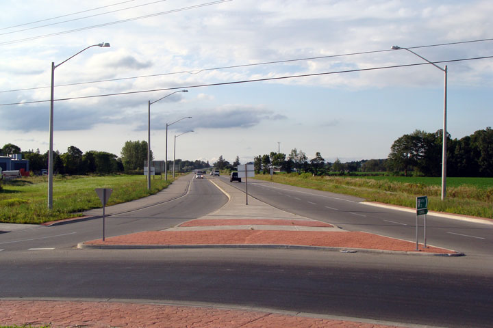
Township of Woolwich
Regional Municipality of Waterloo |
View of the northern leg of the
roundabout. Waterloo Region has been very progressive with both
roundabout design and implementation.
Photo taken: August 24th, 2008. |
Low-res
High-res |
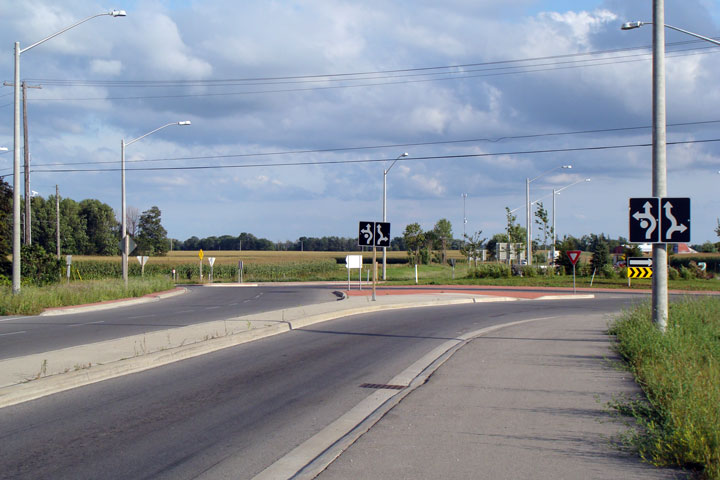
Township of Woolwich
Regional Municipality of Waterloo |
View looking southerly at the northern approach to the Sawmill Road
roundabout.
Photo taken: August 24th, 2008. |

Low-res
High-res |
Township of Woolwich
Regional Municipality of Waterloo |
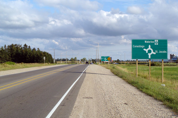
Second southbound approach signage, this time detailing the road names.
Photo taken: August 24th, 2008. |
Low-res
High-res |
Township of Woolwich
Regional Municipality of Waterloo |
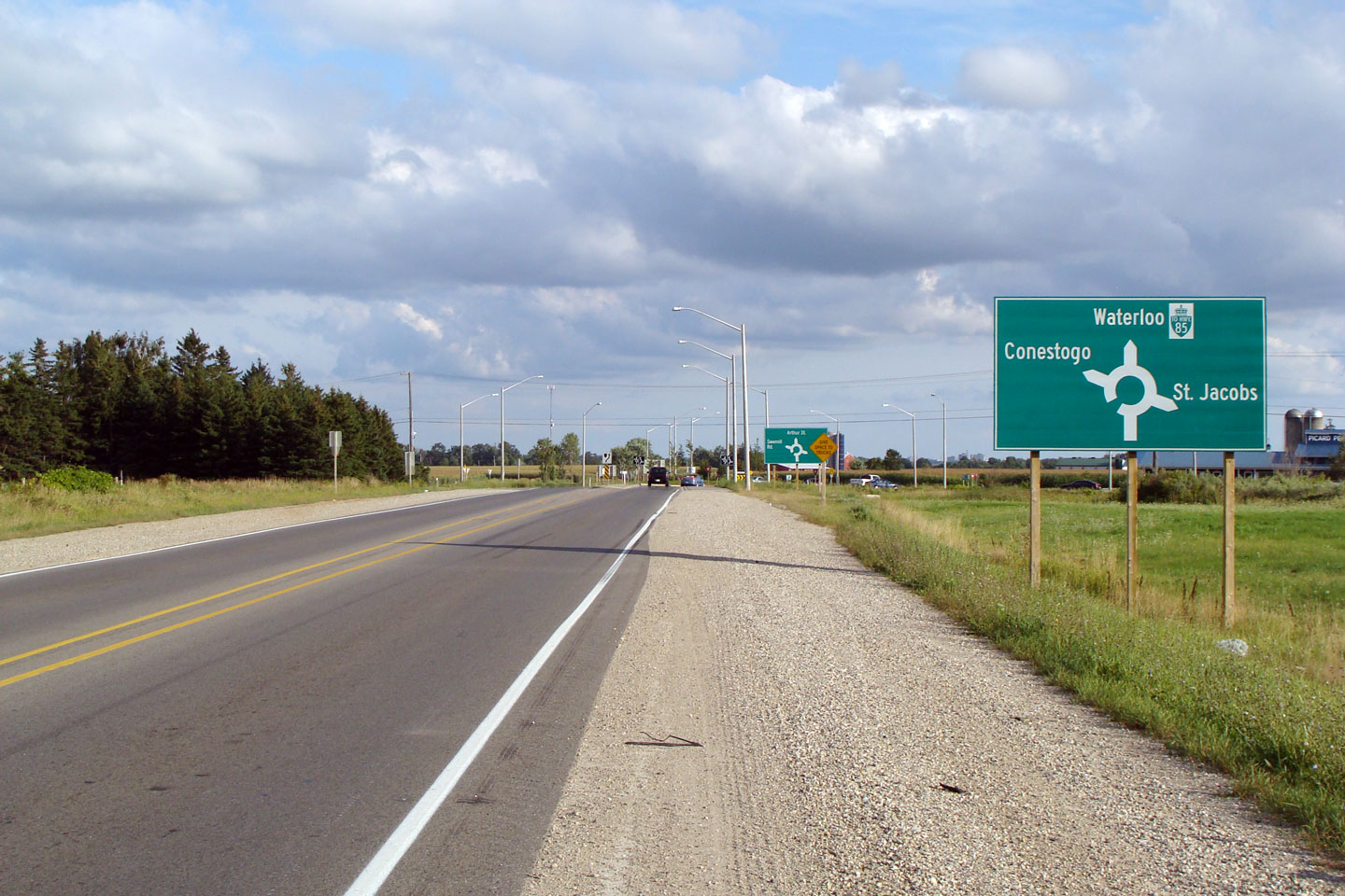
The first southbound approach signage denotes simply the neighbouring
communities.
Photo taken: August 24th, 2008. |
Low-res
High-res |
Woolwich-Wellesley Boundary
Regional Municipality of Waterloo |
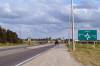
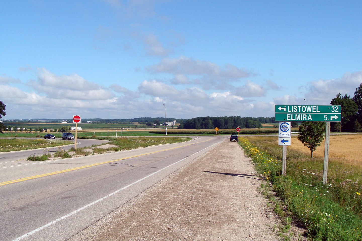
View
at the north end of Waterloo Regional Road 85 on the Elmira By-pass.
Listowel-bound traffic must turn left.
Photo taken: August 2nd, 2008. |

Low-res
High-res |
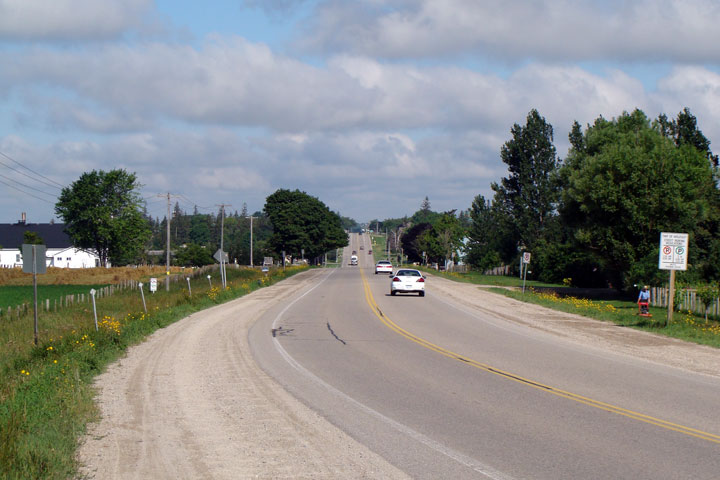
Wellesley - Mapleton Boundary
Waterloo - Perth Boundary |
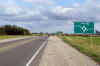
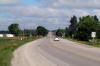
View
looking easterly along Highway 86. Straight through is Elmira, and
eventually Guelph. To the right is Waterloo, and the former Highway
86/current Highway 85.
Photo taken: August 2nd, 2008. |
Low-res
High-res |
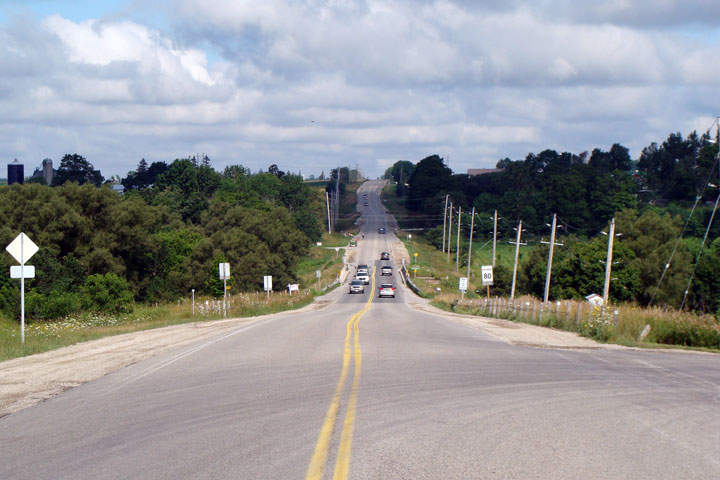
Wellesley - Mapleton Boundary
Waterloo - Perth Boundary |
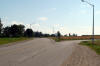
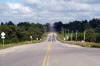
Its
a long and straight drive along Highway 86 to Amberly.
Photo taken: August 2nd, 2008. |
Low-res
High-res |
Wellesley - Mapleton Boundary
Waterloo - Perth Boundary |
Highway
86 passes overtop of Kirkland Creek Wallenstien.
Photo taken: August 2nd, 2008. |
Low-res
High-res |


 Low Res
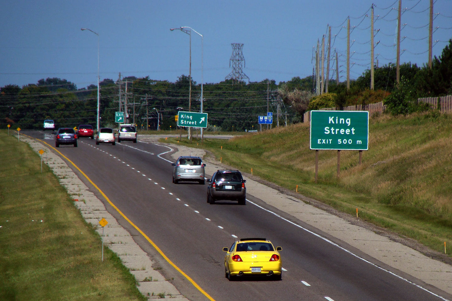
 Low Res
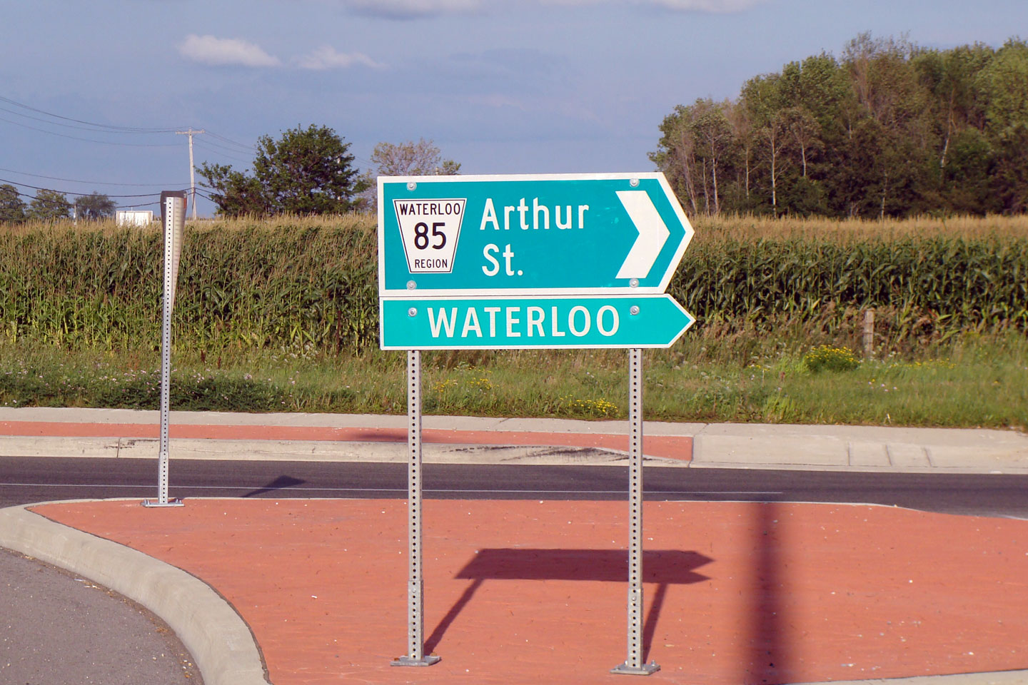

