Secondary
Highway 552 - www.OntHighways.com
Highway 552 runs primarily
east-west in the hills to the north of Sault Ste Marie. Interestingly, the
eastern leg of Highway 552 (east of Highway 17) was part of Highway 17's
original alignment as part of the Great Northern Road between the Soo and
Montreal River.
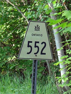
Secondary Highway 552 Shield
|
|
Western Terminus: Grant's Road in
the geographical township of Fenwick Eastern Terminus:
Junction Secondary Highway 556
Length: 19.2km
Multiplexes: None
Orientation: East-West
Regions Served: Algoma District
AADT (2004):
Highest: 1,200, from Grant's Road easterly to Island Road;
Lowest: 570, from Highway 17 easterly to Highway 556.
Road Info: Highway 552 is in good
shape for a secondary highway. It is paved for its entire length, and
has a posted speed limit of 80km/h. |
Communities and Intersections along and Highway 552 from West to East:
|
Proper
Municipality Name |
Community Name |
Distance |
Intersecting
Road |
| District of Algoma |
----- |
0km / 19.2km |
Grant's Road |
| District of Algoma |
Goulais River |
--- |
Old Goulais Bay Road |
| District of Algoma |
----- |
--- |
Anglican Church Road |
| District of Algoma |
----- |
6.9km / 12.3km |
King's
Highway 17 |
| District of Algoma |
----- |
--- |
Post Office Road |
| District of Algoma |
----- |
--- |
Bellevue Valley Road |
| District of Algoma |
----- |
19.2km / 0km |
Secondary Highway 556 |
|
Highway 552 ENDS |
<- Highway 551
www.OntHighways.com - Home
Highway 553 ->
Copyright (c) 2004-2007, Scott Steeves (Webmaster)
webmaster@onthighways.com
Page last updated: October 3rd, 2007
Page created: October 3rd, 2007