AsphaltPlanet.ca > Québec > Autoroute 30 > Page 4
|
Autoroute 30 |
| <- Page 2 |
|
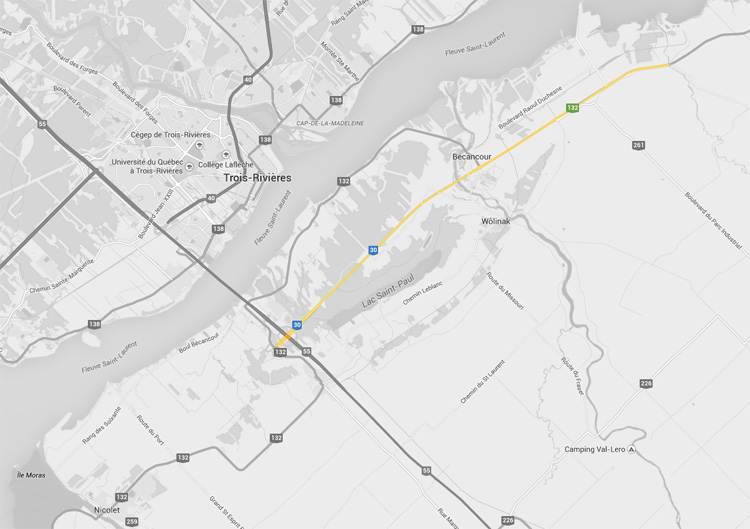
Pictures on this page are arranged in order from west to east. A-30 East photos are left-aligned in the last column, while A-30 west photos are right-aligned. Center-line pictures are centered within the last column.
|
Location |
Description |
Photo |
||
|
East- |
West- |
|||
|
Autoroute 30 photos continue westerly west from Sorel-Tracey. Click here for Page 2 images. |
||||
|
Route 132 is the principle east-west road between Sorel-Tracey and Bécancour. Click here for R-132 images. |
||||
|
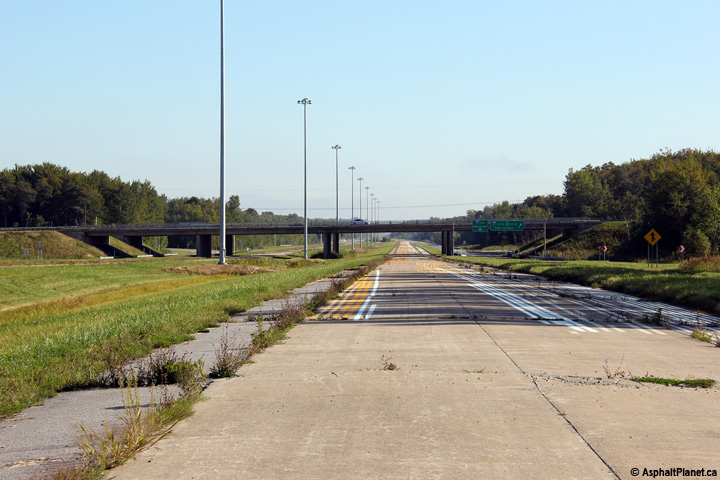
MRC de Bécancour Bécanoeur |
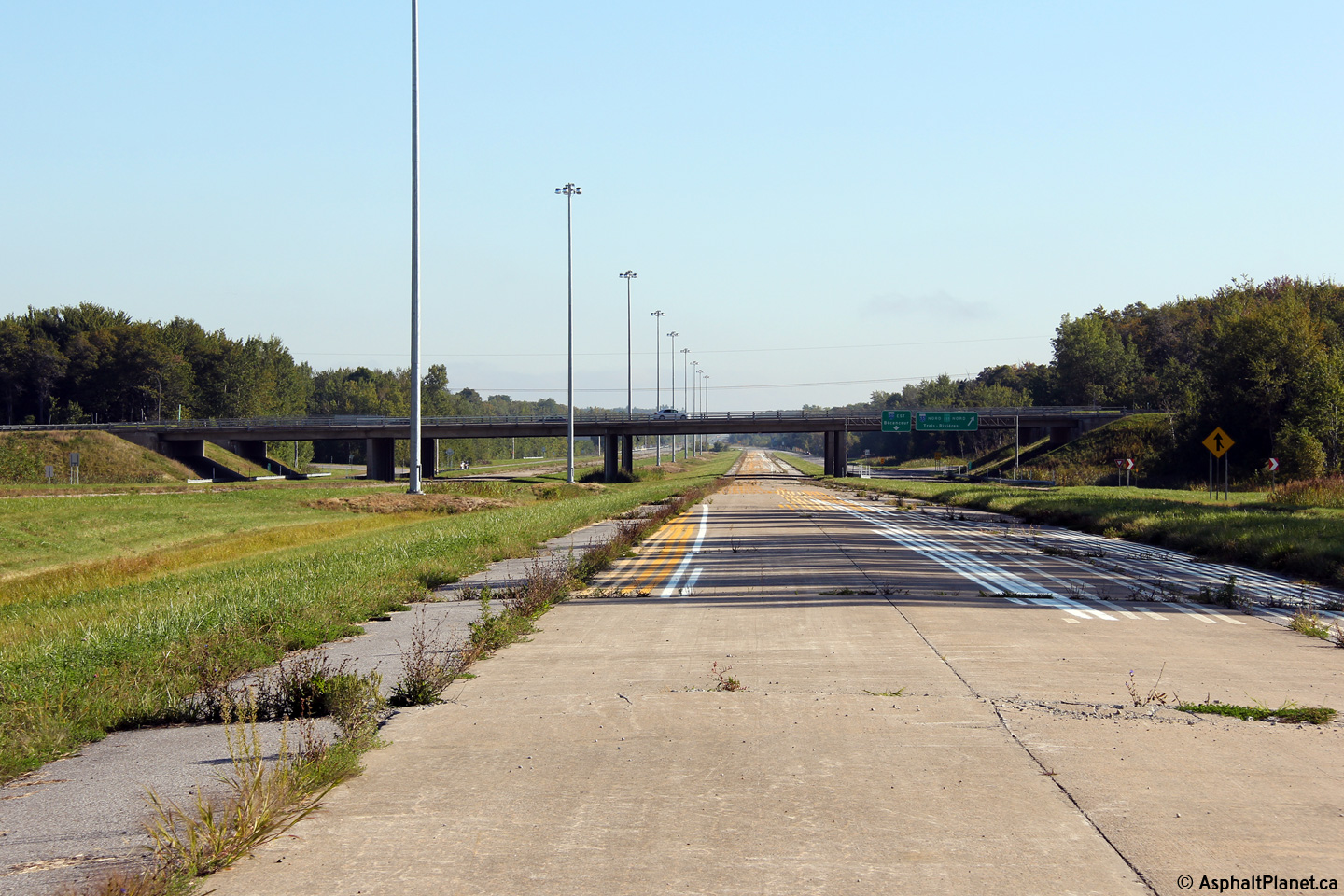
Westerly view along the never opened eastbound lanes of Autoroute 30 from just west of the R-132 overpass. |
 |
||
|
Date: 18/9/2011 |
High-res: (1440x960) (2400x1600) | |||
|
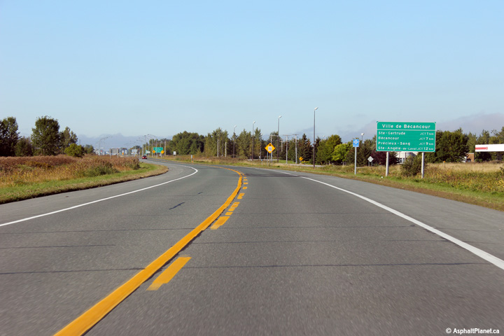
MRC de Bécancour Bécanoeur |
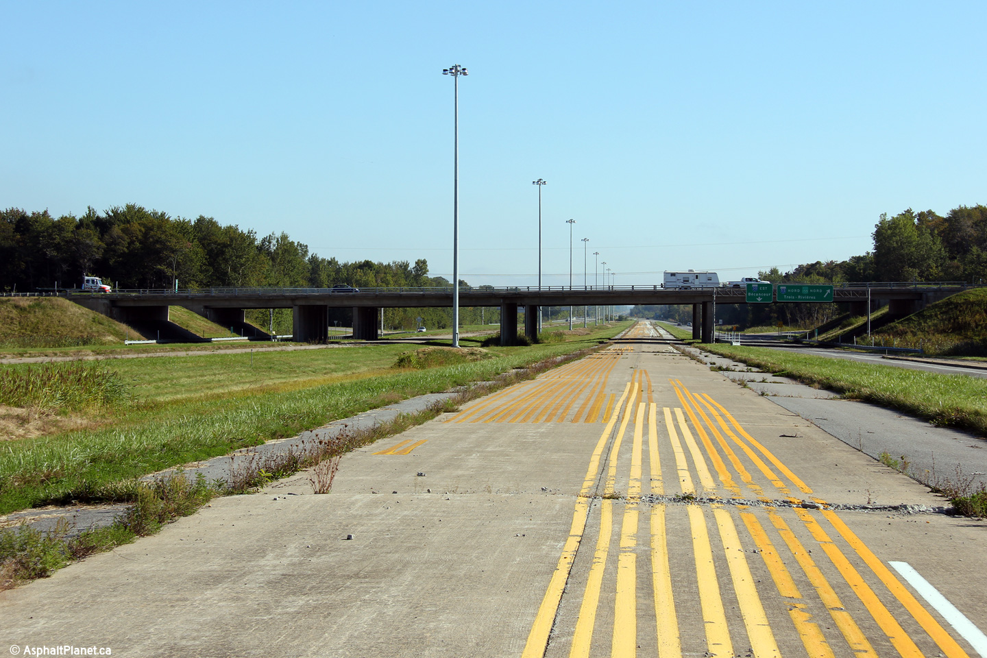
Easterly view along Autoroute 30 towards the R-132 overpass. |
 |
||
|
Date: 18/9/2011 |
High-res: (1440x960) (2400x1600) | |||
|
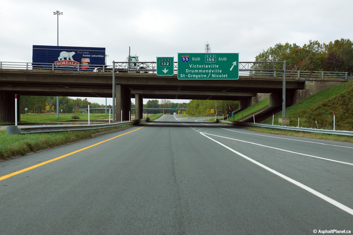
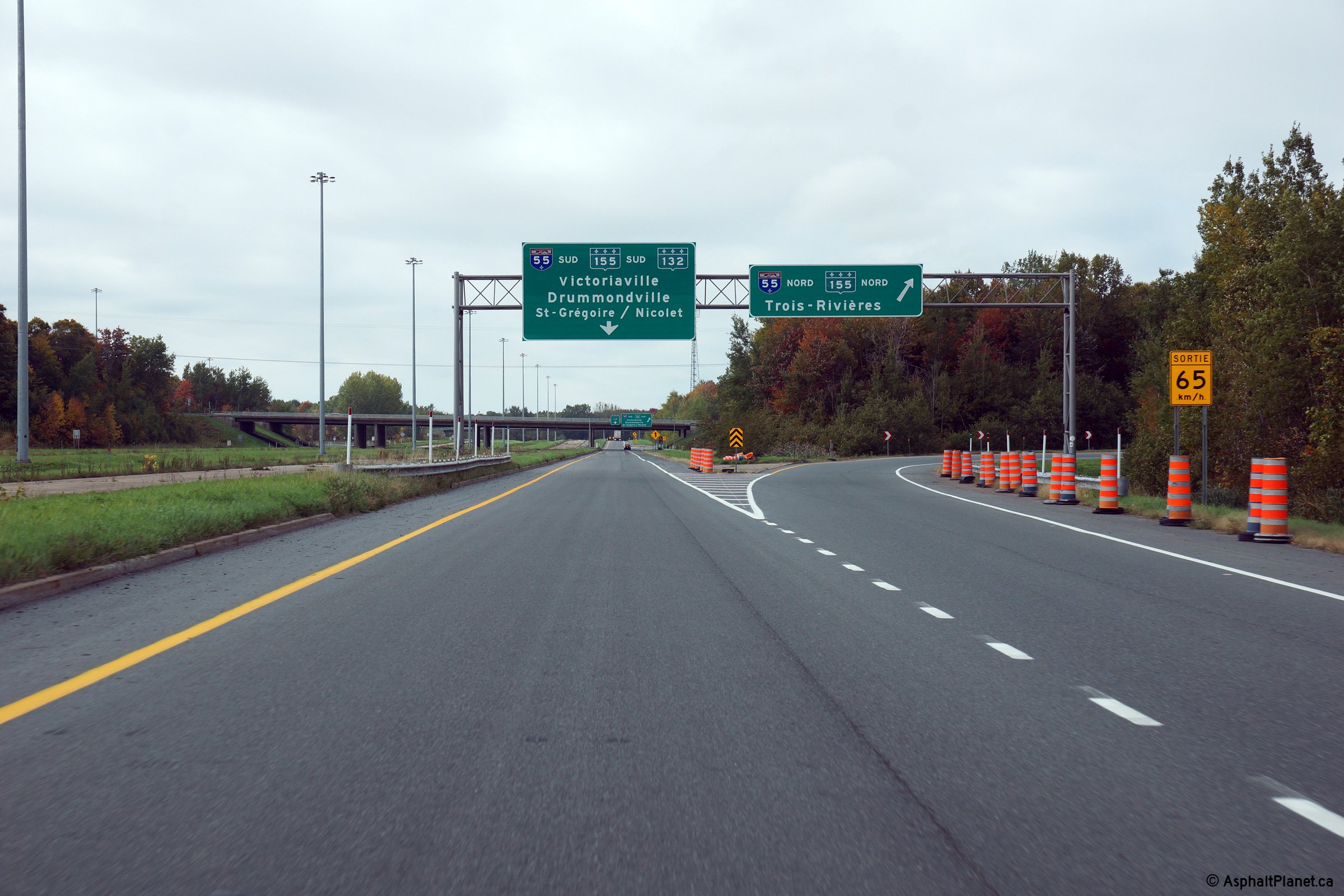
MRC de Bécancour Bécanoeur |
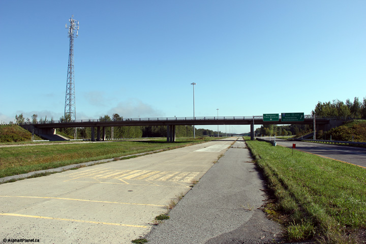
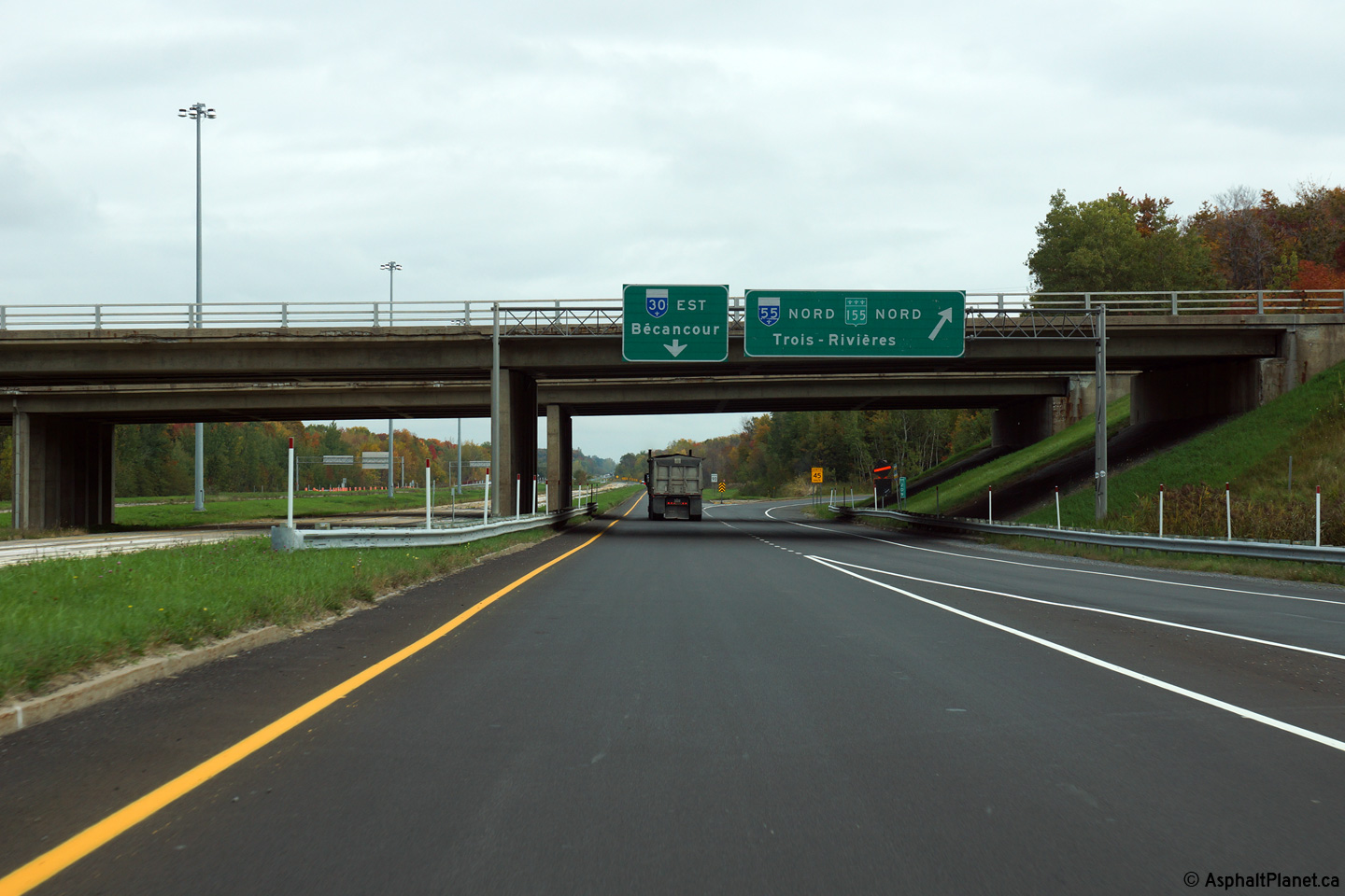
Overhead signage for the eastbound off-ramp to A-55 South. |
 |
||
|
Date: 02/10/2014 |
High-res: (1440x960) (2400x1600) | |||
|
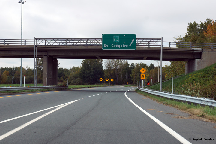
MRC de Bécancour Bécanoeur |
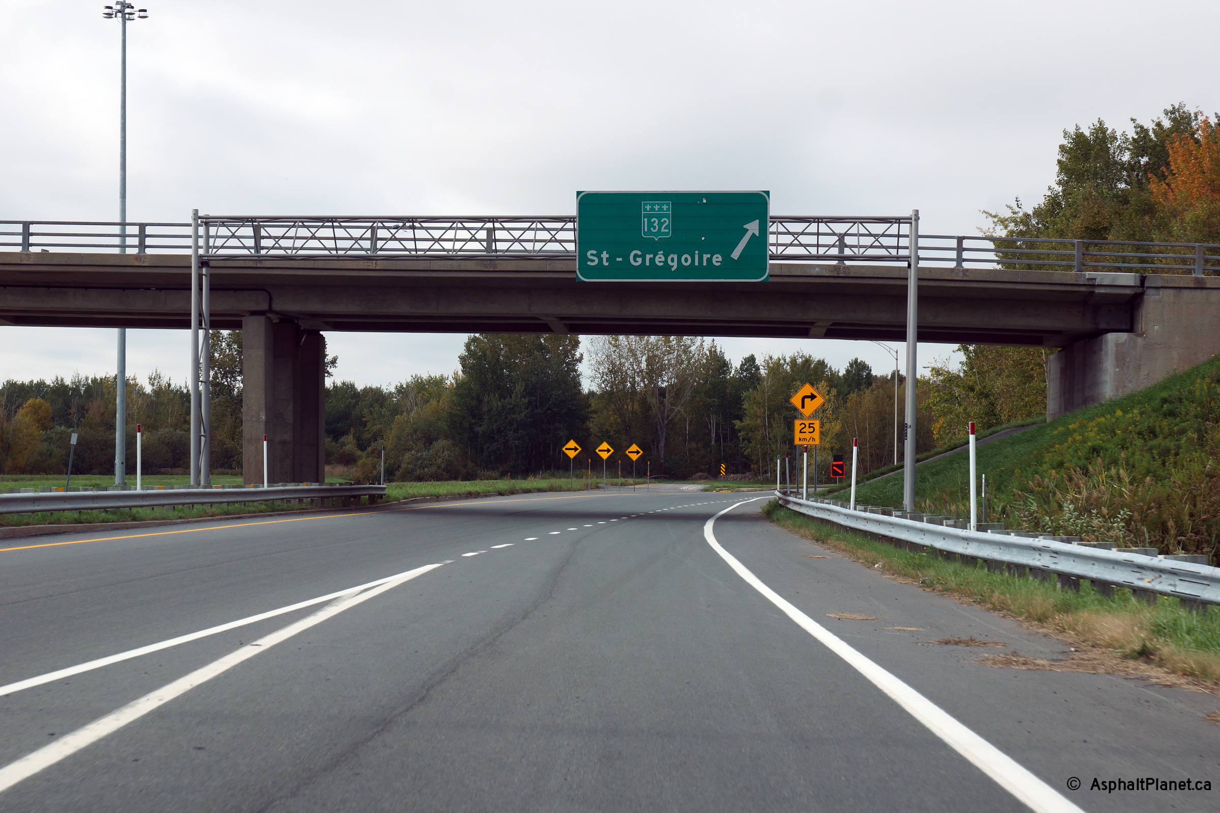
Westerly view from the Highway 132 overpass towards the stub end of Autoroute 30's Bécancour segment. |
 |
||
|
Date: 18/9/2011 |
High-res: (1440x960) (2400x1600) | |||
|
MRC de Bécancour Bécanoeur |
Easterly view along Autoroute 30 towards the cloverleaf interchange with Autoroute 55. |
 |
||
|
Date: 18/9/2011 |
High-res: (1440x960) (2400x1600) | |||
|
MRC de Bécancour Bécanoeur |
Westbound overhead signage approaching the off-ramp to R-132 at the western terminus of the Bécancour segment of A-30. |
 |
||
|
Date: 02/10/2014 |
High-res: (1440x960) (2400x1600) | |||
|
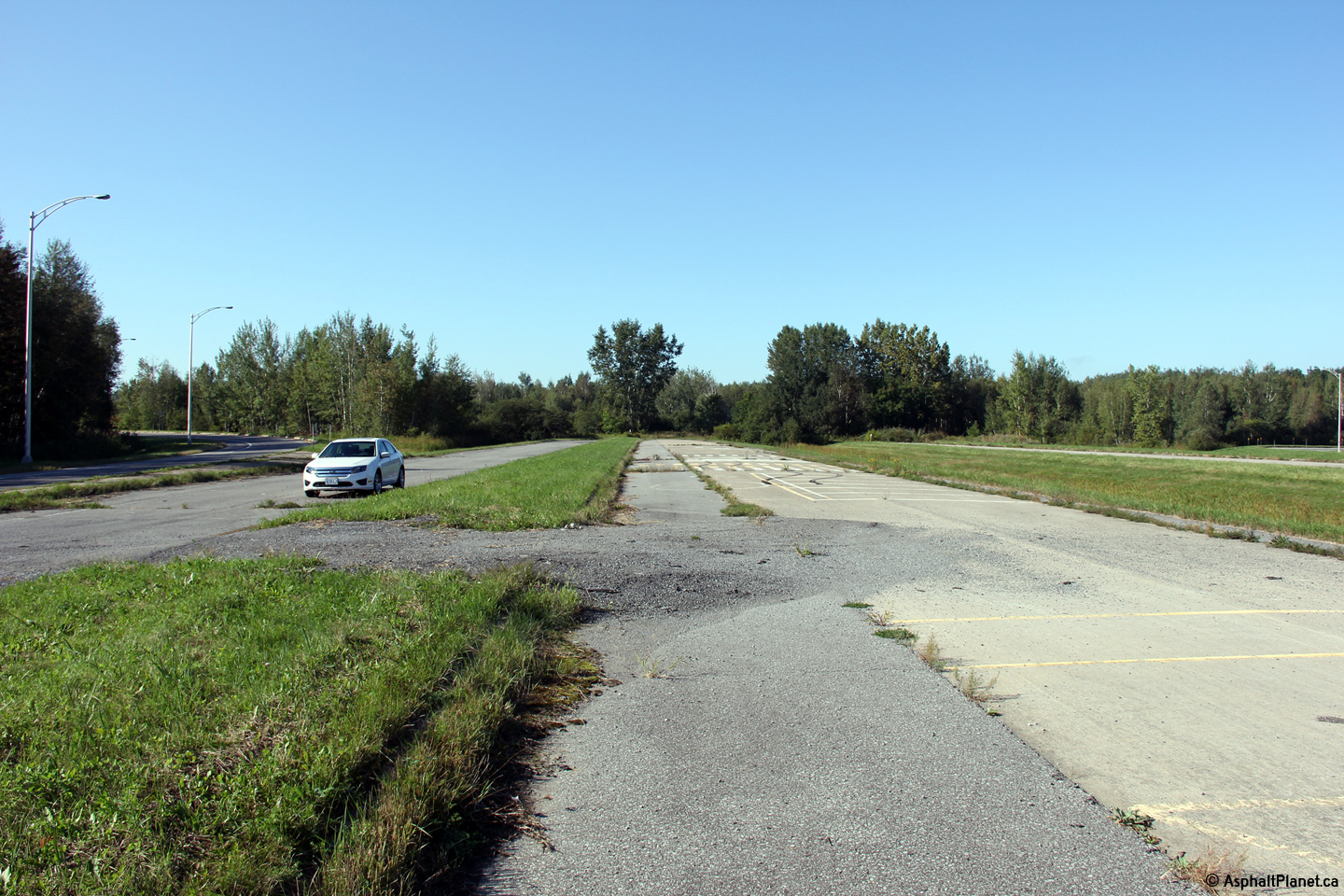
MRC de Bécancour Bécanoeur |
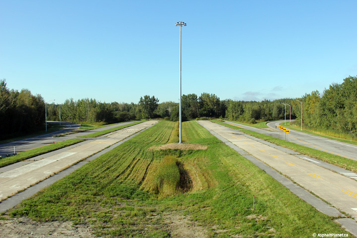
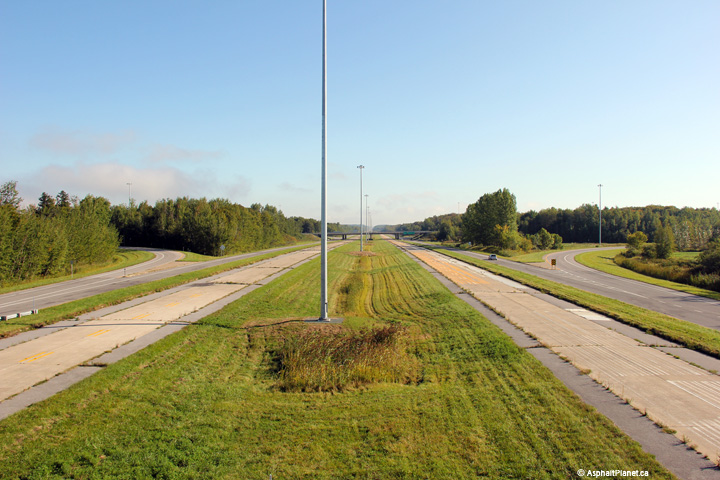
A series of two views looking easterly along the never opened eastbound mainline lanes of Autoroute 30 through the A-55 interchange. If future traffic volumes ever warranted to the completion of the never opened mainline lanes through the A-55 interchange, the existing pavement structure would likely need to be fully replaced due to the advanced level of deterioration of the existing roadway. |
 |
||
| High-res: (1440x960) (2400x1600) | ||||
 |
||||
|
Date: 18/9/2011 |
High-res: (1440x960) (2400x1600) | |||
|
MRC de Bécancour Bécanoeur |
Eastbound overhead signage for the eastbound ramp to A-55 North. |
 |
||
|
Date: 02/10/2014 |
High-res: (1440x960) (2400x1600) | |||
|
Autoroute 55 is the Trans-Québec Autoroute running from the US border northerly to Shawinigan. Click here for A-55 images. |
||||
|
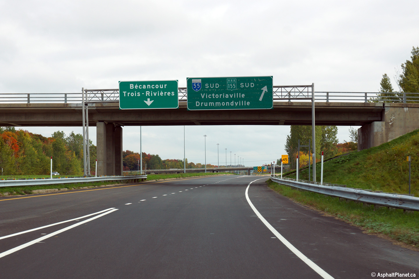
MRC de Bécancour Bécanoeur |
Overhead signage for the westbound ramp to A-55 South. |
 |
||
|
Date: 02/10/2014 |
High-res: (1440x960) (2400x1600) | |||
|
MRC de Bécancour Bécanoeur |
Signage at the westbound off-ramp to A-55 North. |
 |
||
|
Date: 02/10/2014 |
High-res: (1440x960) (2400x1600) | |||
|
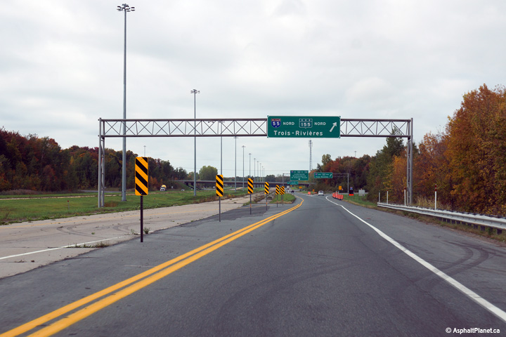
MRC de Bécancour Bécanoeur |
Westbound advanced signage for the ramp to A-55 North towards Trois Rivières. |
 |
||
|
Date: 02/10/2014 |
High-res: (1440x960) (2400x1600) | |||
|
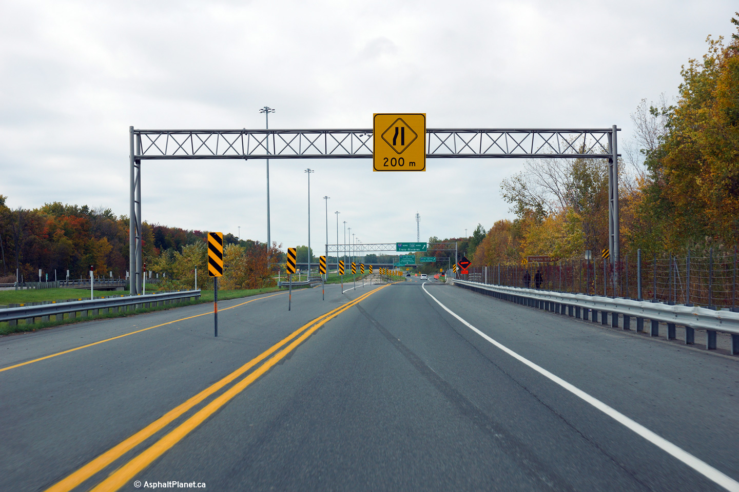
MRC de Bécancour Bécanoeur |
Overhead signage advising motorists of the narrowing left shoulder of the road as all traffic is directed onto what would have been the service road through the A-55 interchange. |
 |
||
|
Date: 02/10/2014 |
High-res: (1440x960) (2400x1600) | |||
|
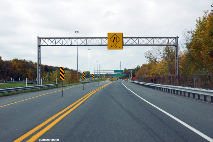
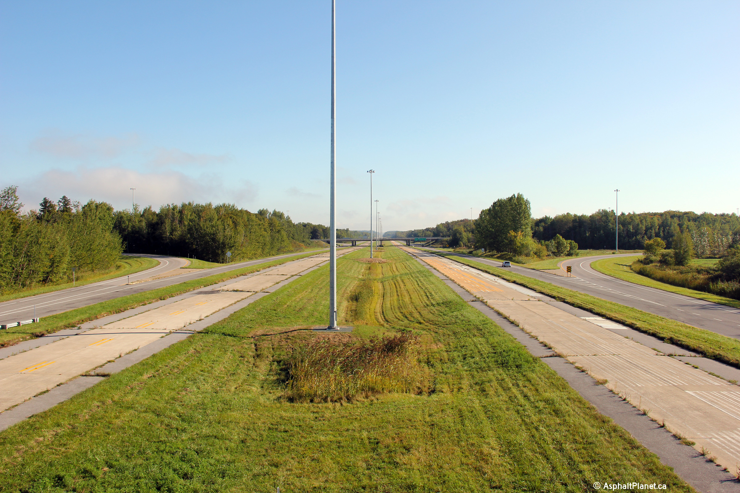
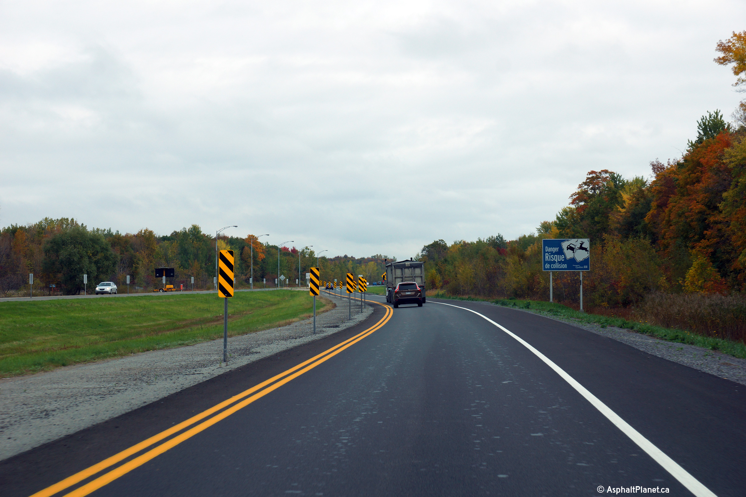
MRC de Bécancour Bécanoeur |
View looking easterly from east of the A-55 interchange as Autoroute 30 narrows to a two-lane, undivided highway. The Bécancour segment of Autoroute 30 is exclusively a two-lane at-grade highway with the exception of the interchanges with A-55. |
 |
||
|
Date: 02/10/2014 |
High-res: (1440x960) (2400x1600) | |||
|
MRC de Bécancour Bécanoeur |
Westerly view at the start of the divided highway through the A-55 interchange. |
 |
||
|
Date: 02/10/2014 |
High-res: (1440x960) (2400x1600) | |||
|
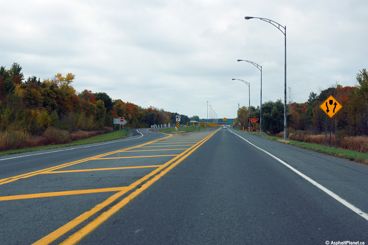
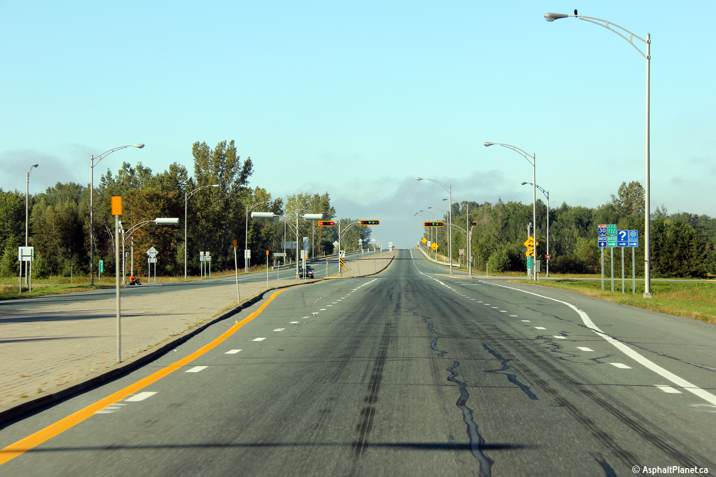
MRC de Bécancour Bécanoeur |
Two views looking westerly approaching the Route 132 intersection. Route 132 follows a shoreline route for several kilometres where the highway passes through Sainte-Angèle-de-Laval. |
 |
||
| High-res: (1440x960) (2400x1600) | ||||
|
|
||||
|
Date: 18/9/2011 |
High-res: (1440x960) (2400x1600) | |||
|
MRC de Bécancour Bécanoeur |
Westerly view along Autoroute 30 about 500m west of the Gentilly River Bridge. Autoroute 30 begins at the Gentilly River Bridge. |
|
||
|
Date: 18/9/2011 |
High-res: (1440x960) (2400x1600) | |||
|
East of Bécancour, Route 132 continues to follow the southern bank of the St. Lawrence River. Click here for R-132 images. |
||||
<- Page 2 Back to Autoroute 30 Index
© 2006-2015 AsphaltPlanet.ca.
AsphaltPlanet@asphaltplanet.ca
Page Created: August 6, 2009.
Last Updated: February 8, 2015.