AsphaltPlanet.ca > California > SR-94
Pictures on this page are arranged in order from west to east. CA-94 East photos are left-aligned in the last column, while CA-94 West photos are right-aligned. Center-line pictures are centered within the last column.
|
Location |
Description |
Photo |
||
|
East- |
West- |
|||
| Interstate 5 is the principle north-south interstate along the US West Coast. Click here for Interstate 5 Images. | ||||
|
San Diego County |
Westbound signage along CA-58/99 West at the western split between State Routes 58 and 99. |
|
||
|
Date: 4/12/2016 |
High-res: (1440x960) (2400x1600) |
|||
|
San Diego County |
View looking westerly approaching the Interstate 5 interchange at the westbound off-ramp to National City Boulevard. |
|
||
|
Date: 4/12/2016 |
High-res: (1440x960) (2400x1600) |
|||
|
San Diego County |
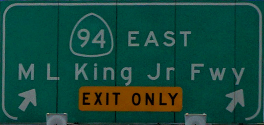
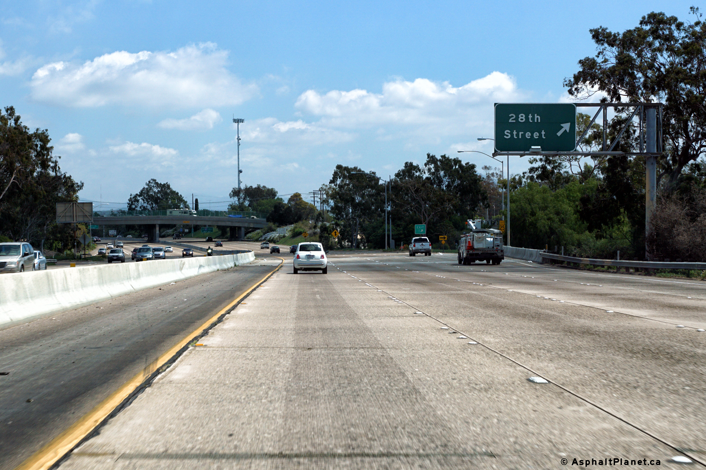
Eastbound signage at the off-ramp to 28th Street. |
 |
||
|
Date: 4/12/2016 |
High-res: (1440x960) (2400x1600) |
|||
|
San Diego County |
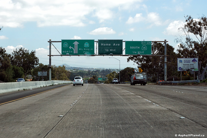
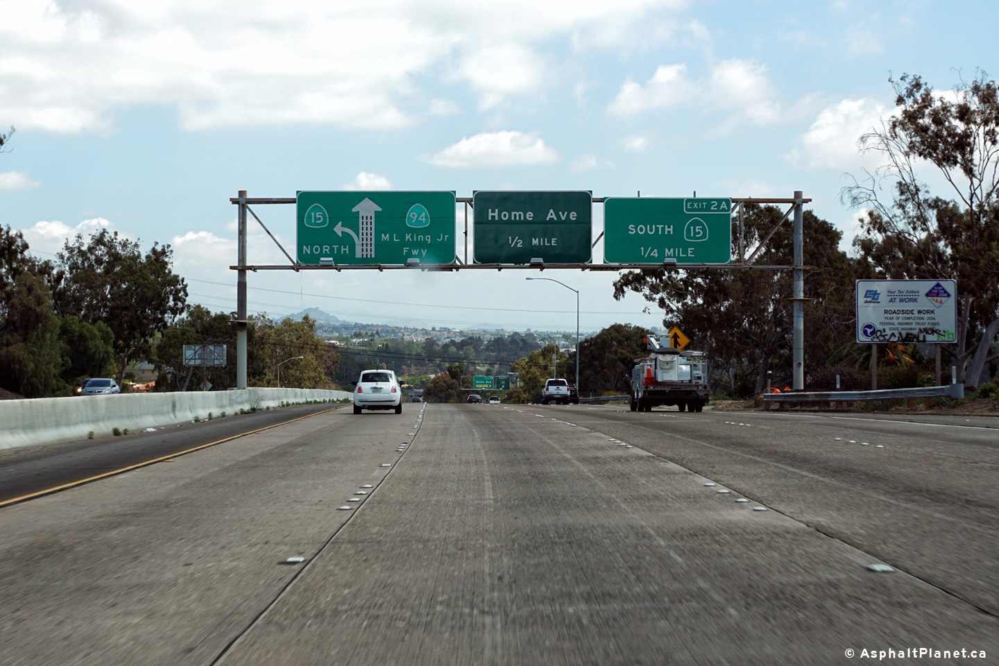
Advanced signage for the SR-15 interchange. The ramp to SR-15 south departs from the left side of the freeway, while the ramp to SR-15 North departs from the left side of the freeway. |
 |
||
|
Date: 4/12/2016 |
High-res: (1440x960) (2400x1600) |
|||
|
San Diego County |
Signage at the off-ramp to SR-15 South. |
 |
||
|
Date: 4/12/2016 |
High-res: (1440x960) (2400x1600) |
|||
|
San Diego County |
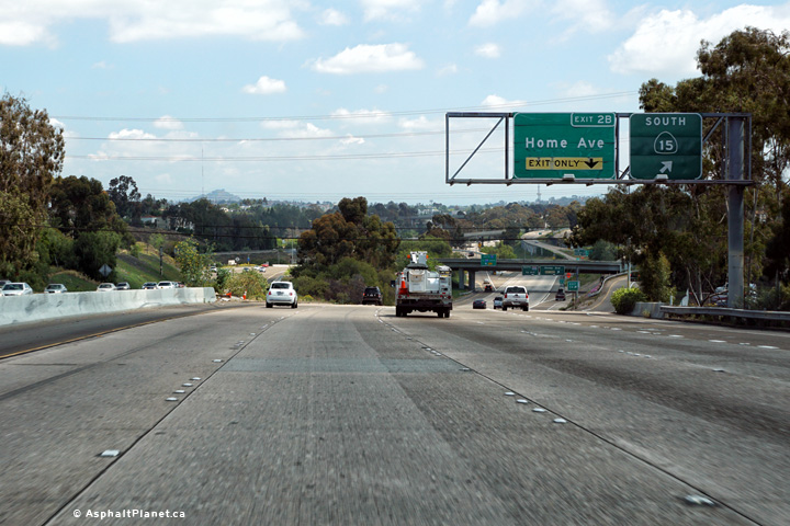
Signage at the off-ramp to both Home Avenue and SR-15 North. |
 |
||
|
Date: 4/12/2016 |
High-res: (1440x960) (2400x1600) |
|||
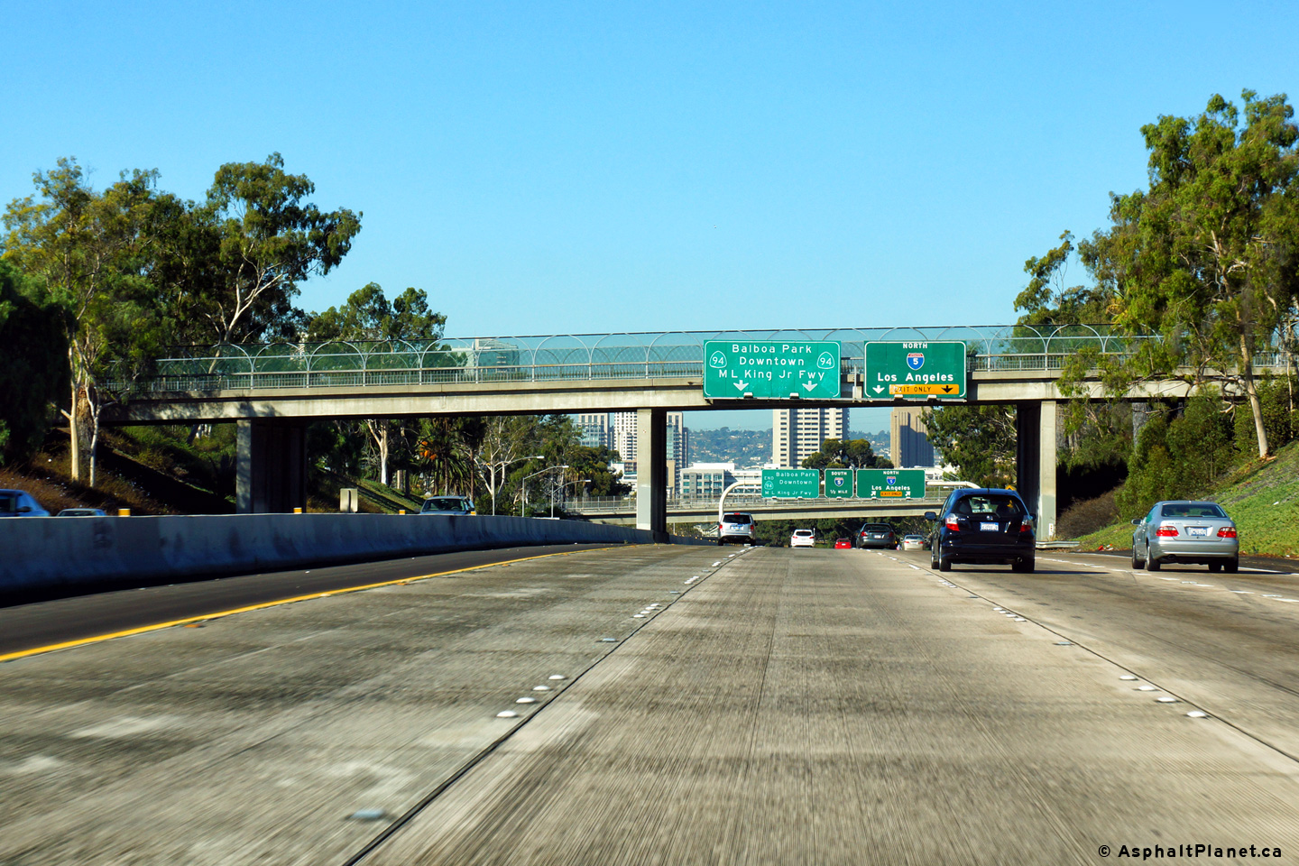
|
San Diego County |
Interchange sequence signage located just beyond the SR-15 interchange. |
 |
||
|
Date: 4/12/2016 |
High-res: (1440x960) (2400x1600) |
|||
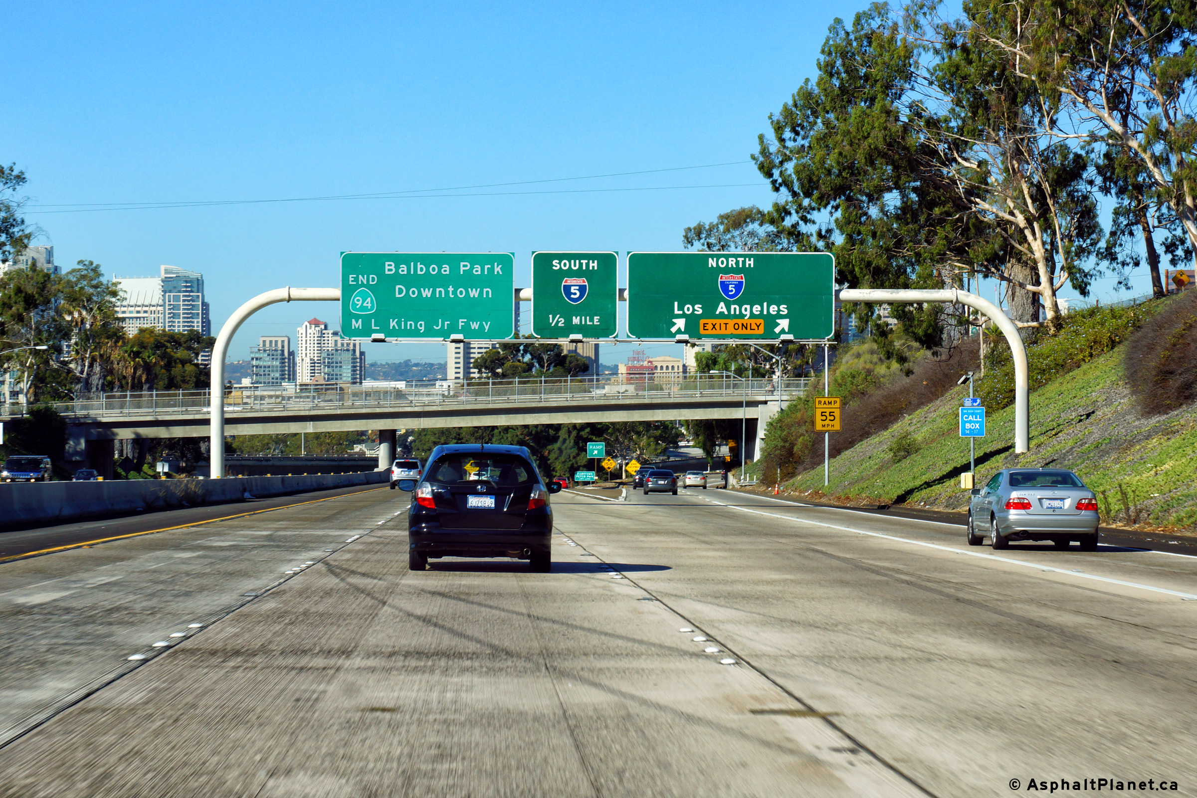
|
San Diego County |
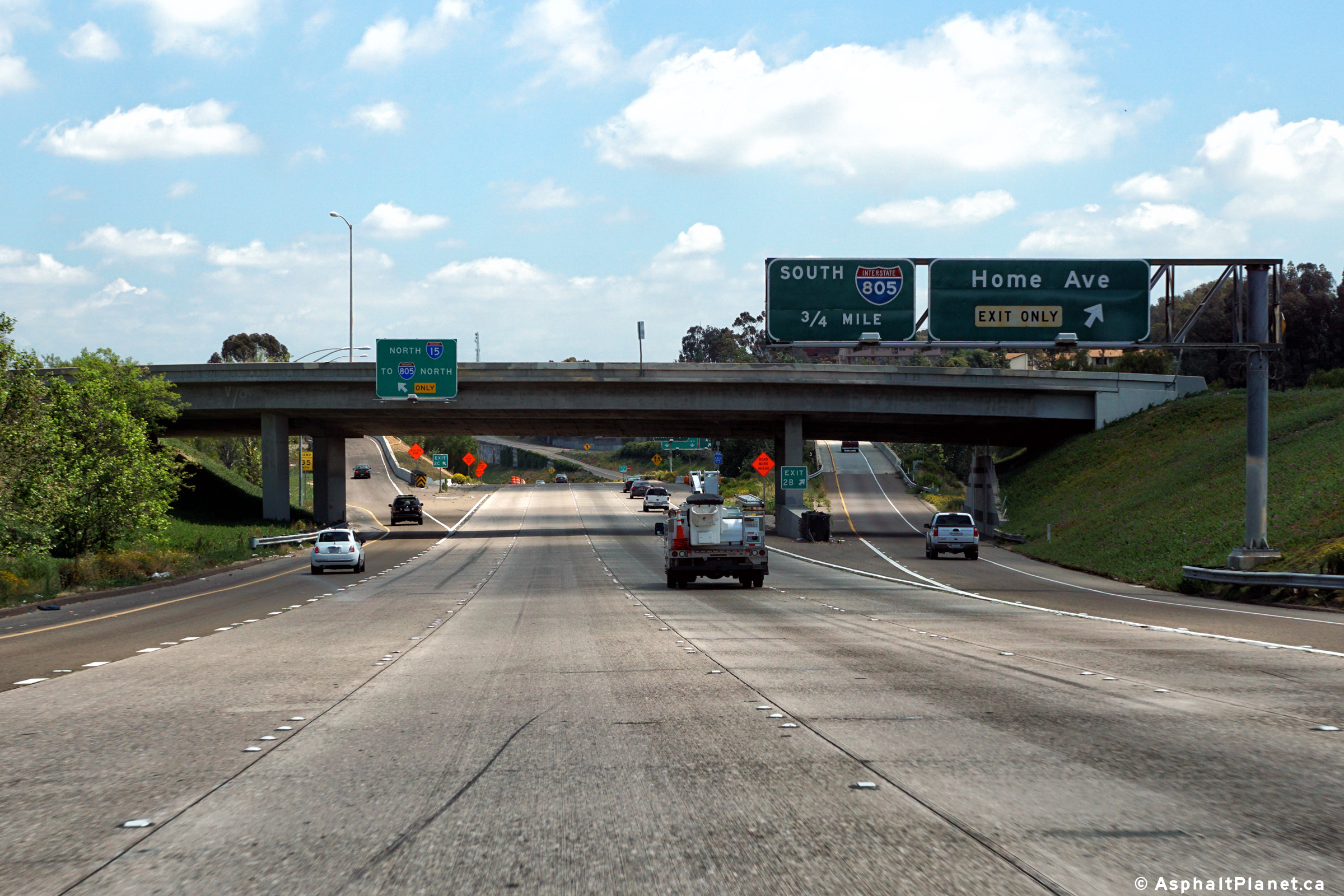
Eastbound advanced signage for the off-ramp to I-805 South. Access to I-805 North was provided via SR-15. |
 |
||
|
Date: 4/12/2016 |
High-res: (1440x960) (2400x1600) |
|||
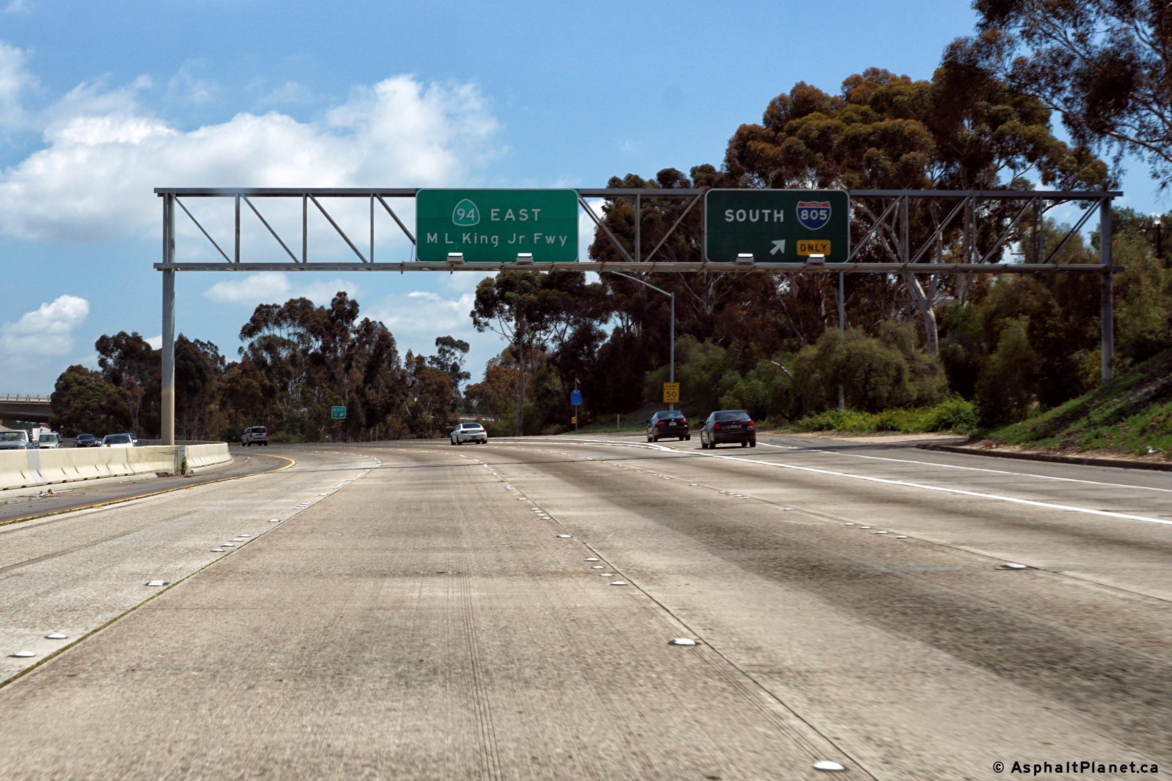
|
San Diego County |
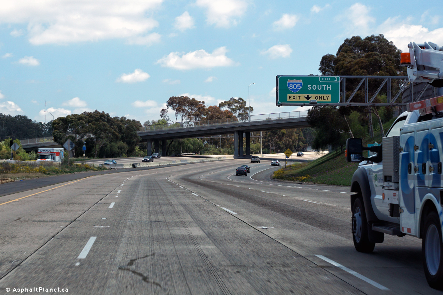
Eastbound signage at the off-ramp to I-805 South. |
 |
||
|
Date: 4/12/2016 |
High-res: (1440x960) (2400x1600) |
|||
| Interstate 805 leads north-south through San Diego County. Click here for Interstate 805 Images. | ||||
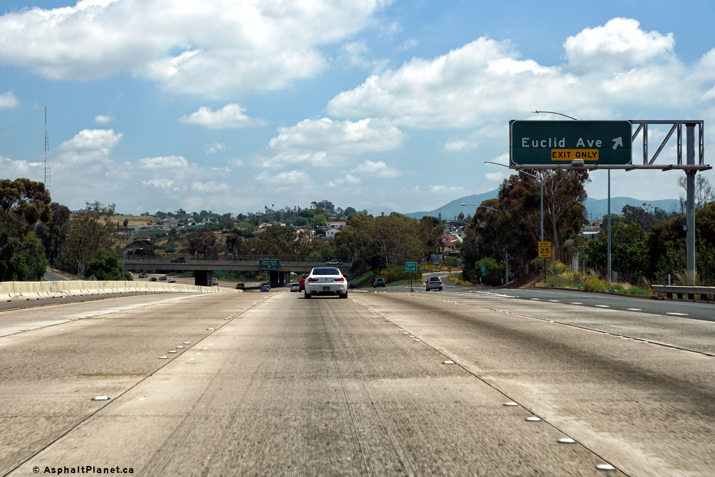
|
San Diego County |
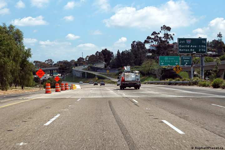
Signage at the eastbound off-ramp to Euclid Avenue. |
 |
||
|
Date: 4/05/2010 |
High-res: (1440x960) (2400x1600) |
|||
|
San Diego County |
Easterly view as SR-94 passes beneath the Euclid Avenue interchange. |
 |
||
|
Date: 4/12/2016 |
High-res: (1440x960) (2400x1600) |
|||
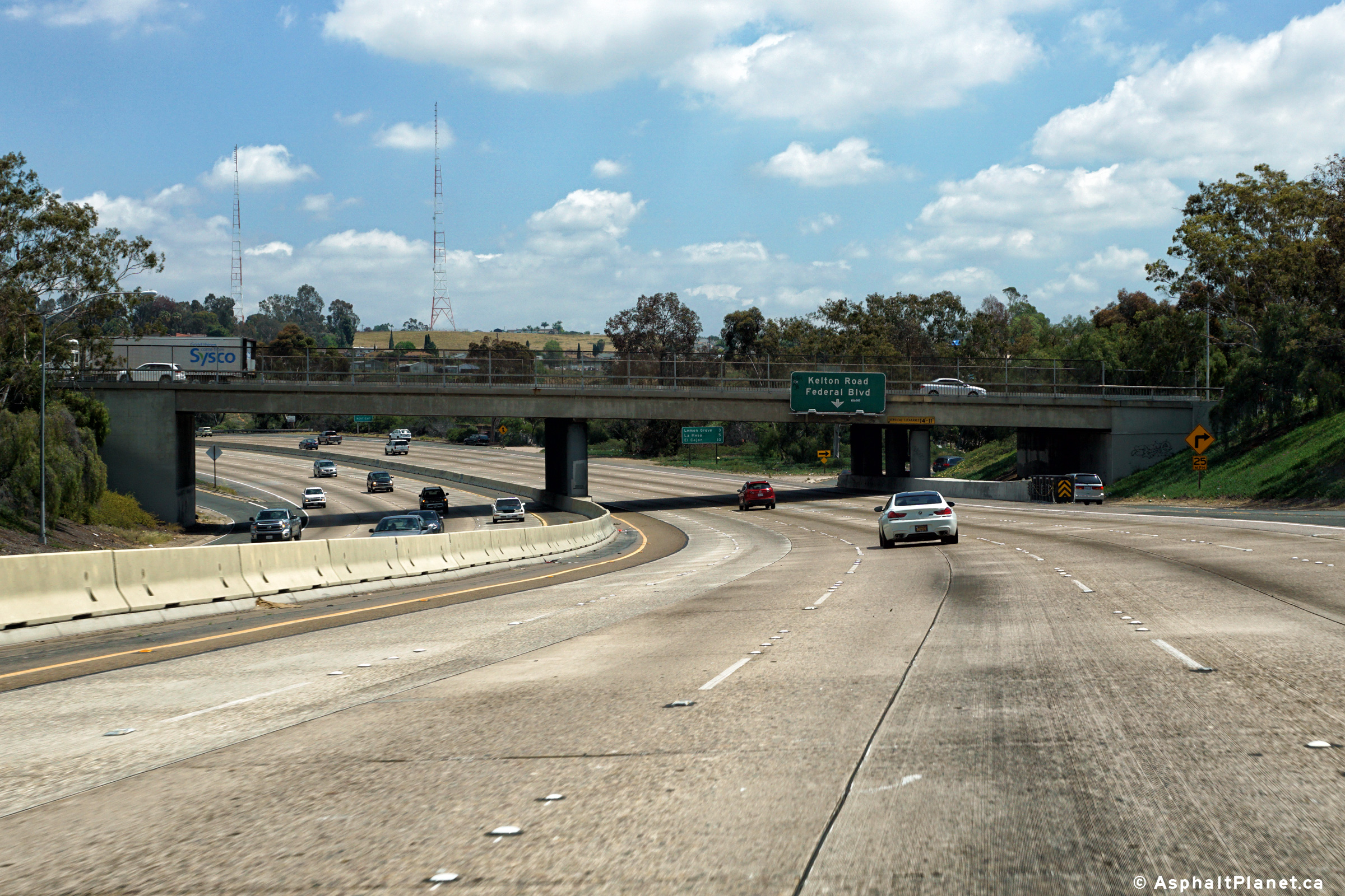
|
San Diego County |
Eastbound signage at the off-ramp to Kelton Road. The eastbound carriageway of SR-94 has been widened from four to five lanes through this segment of highway by narrowing the highway's shoulders. |
 |
||
|
Date: 4/12/2016 |
High-res: (1440x960) (2400x1600) |
|||
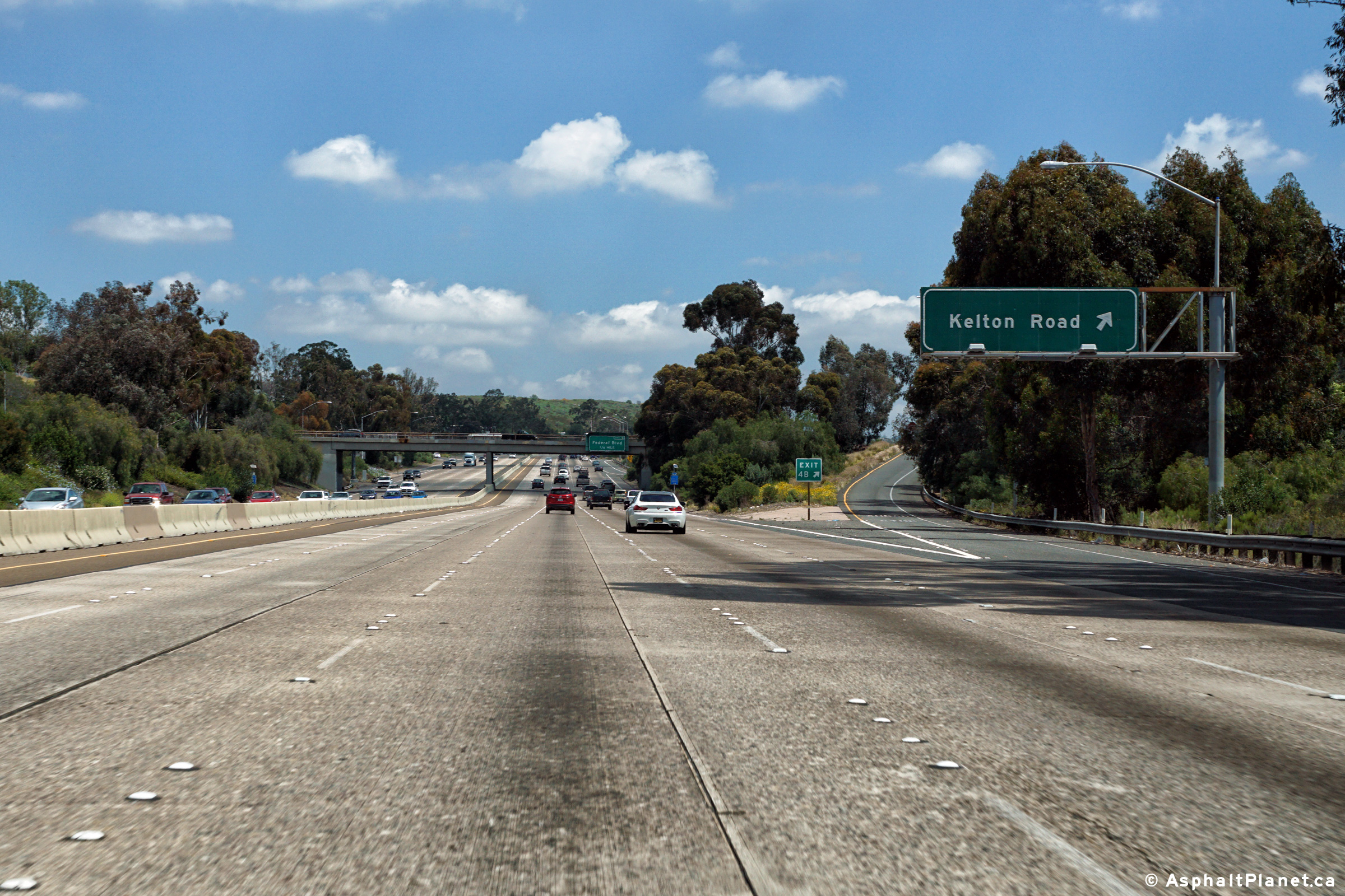
|
San Diego County |
The advanced signage for the Federal Boulevard interchange is affixed to the Kelton Road overpass. |
 |
||
|
Date: 4/12/2016 |
High-res: (1440x960) (2400x1600) |
|||
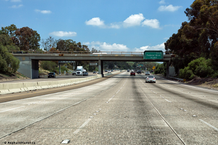
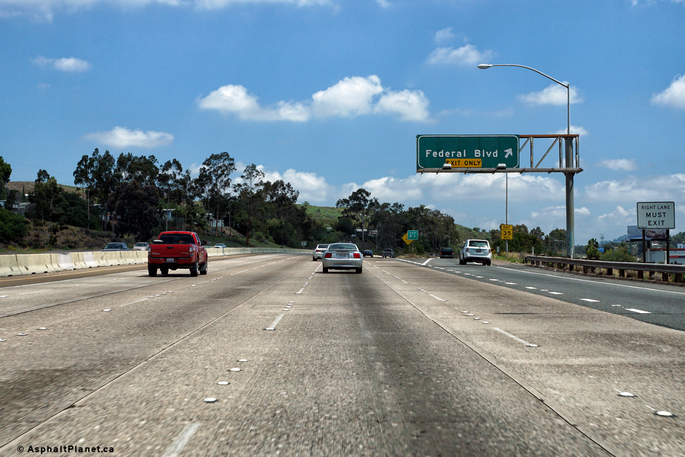
|
San Diego County |
Signage at the eastbound off-ramp to Federal Boulevard. |
 |
||
|
Date: 4/12/2016 |
High-res: (1440x960) (2400x1600) |
|||
|
San Diego County |
Interchange sequence signage located just beyond the Federal Boulevard interchange. |
 |
||
|
Date: 4/12/2016 |
High-res: (1440x960) (2400x1600) |
|||
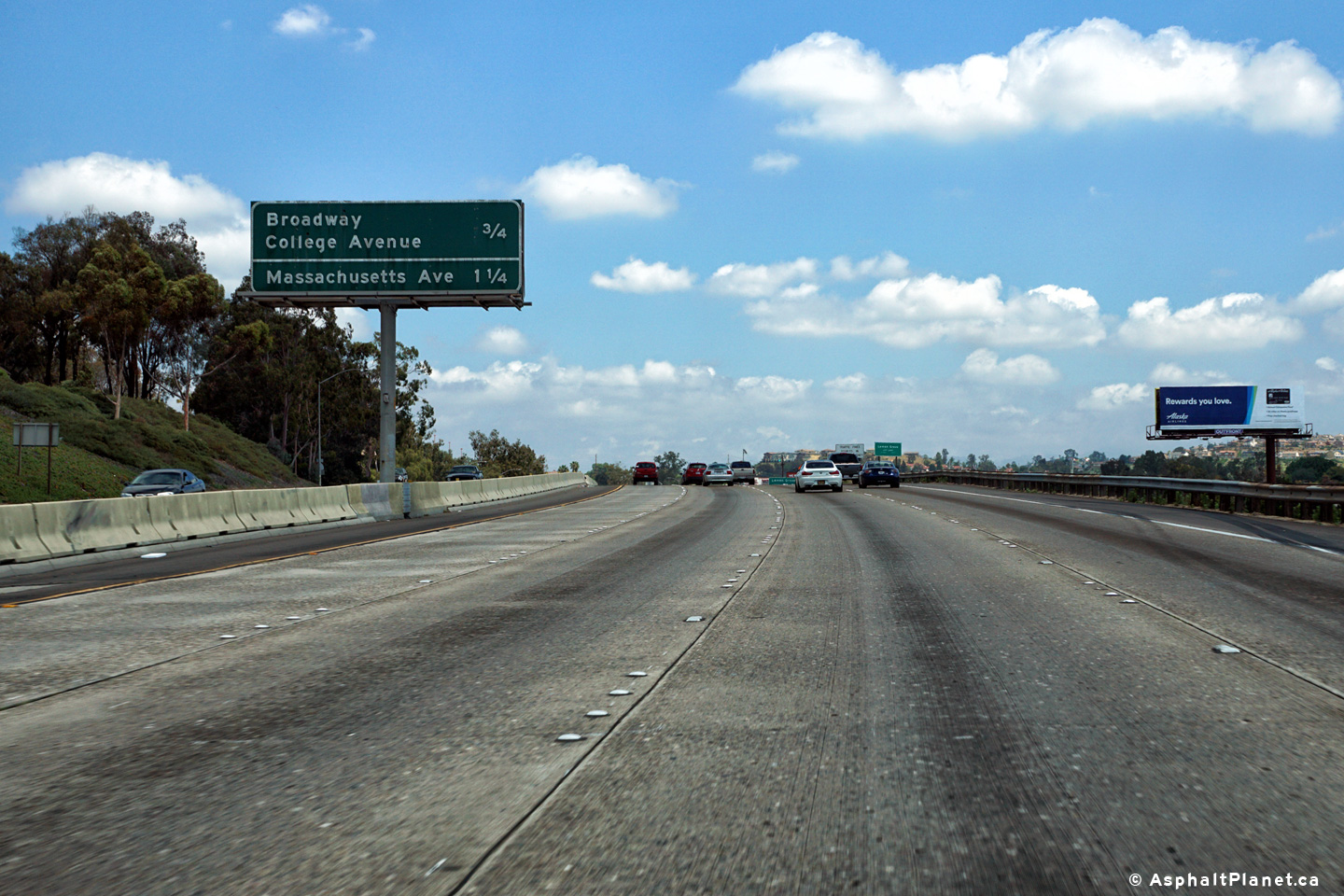
|
San Diego County |
Eastbound off-ramp to Broadway College Avenue. |
 |
||
|
Date: 4/12/2016 |
High-res: (1440x960) (2400x1600) |
|||
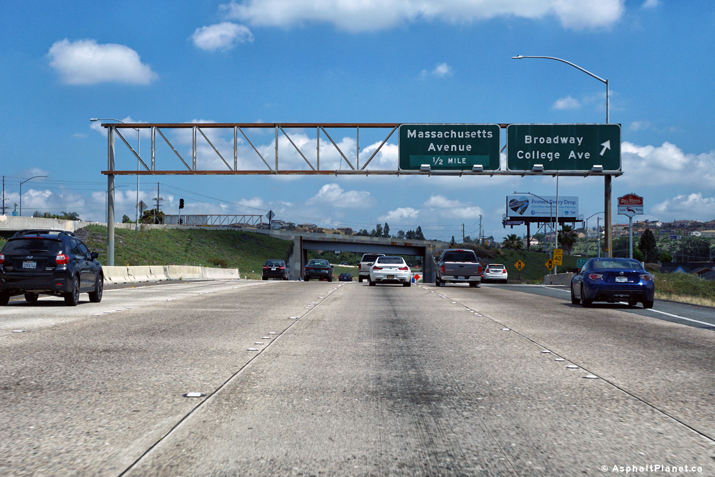
|
San Diego County |
Eastbound interchange sequence signage in advance of the Massachusetts Avenue interchange. |
 |
||
|
Date: 4/12/2016 |
High-res: (1440x960) (2400x1600) |
|||
|
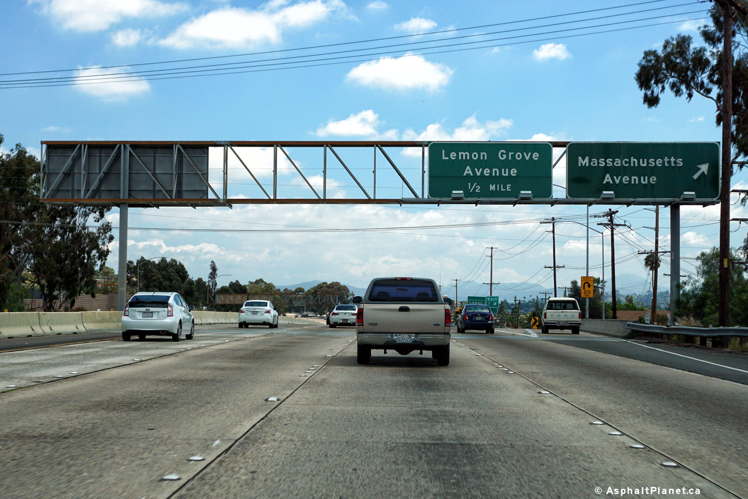
San Diego County |
Eastbound signage at the off-ramp to Massachusetts Avenue. |
 |
||
|
Date: 4/12/2016 |
High-res: (1440x960) (2400x1600) |
|||
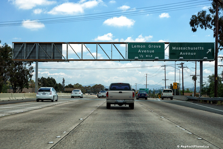
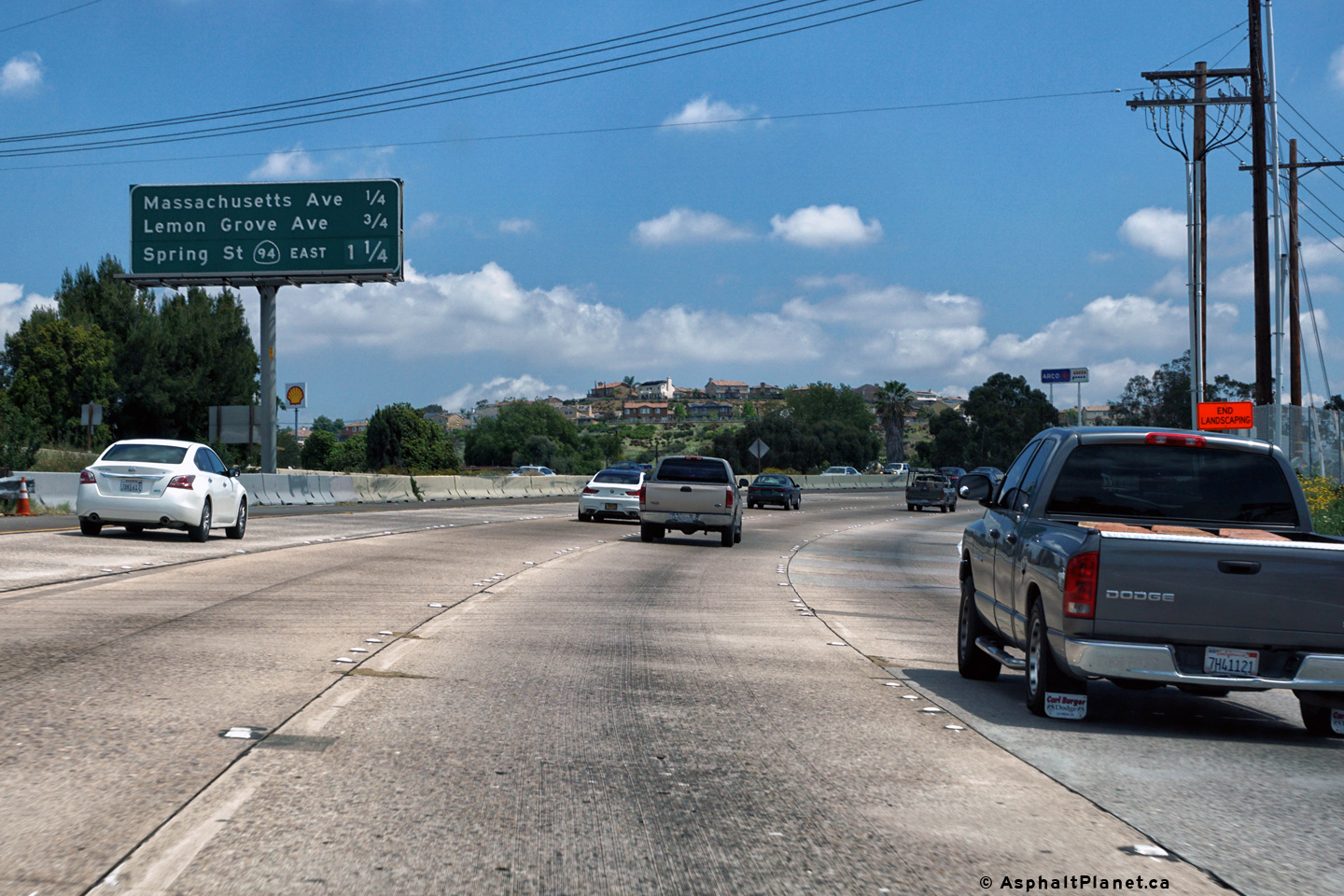
|
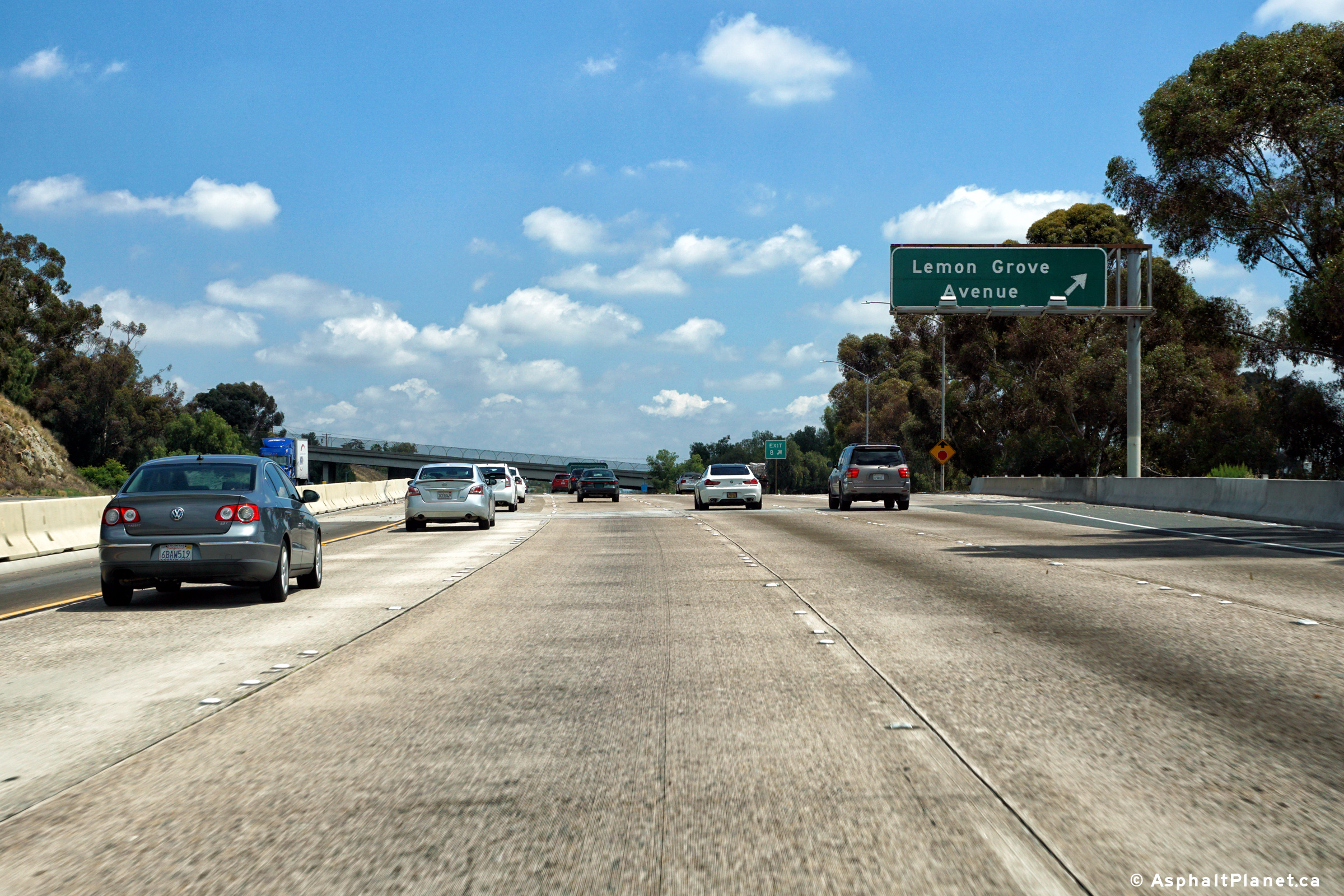
San Diego County |
Easterly view at the off-ramp to Lemon Grove Avenue. |
 |
||
|
Date: 4/12/2016 |
High-res: (1440x960) (2400x1600) |
|||
|
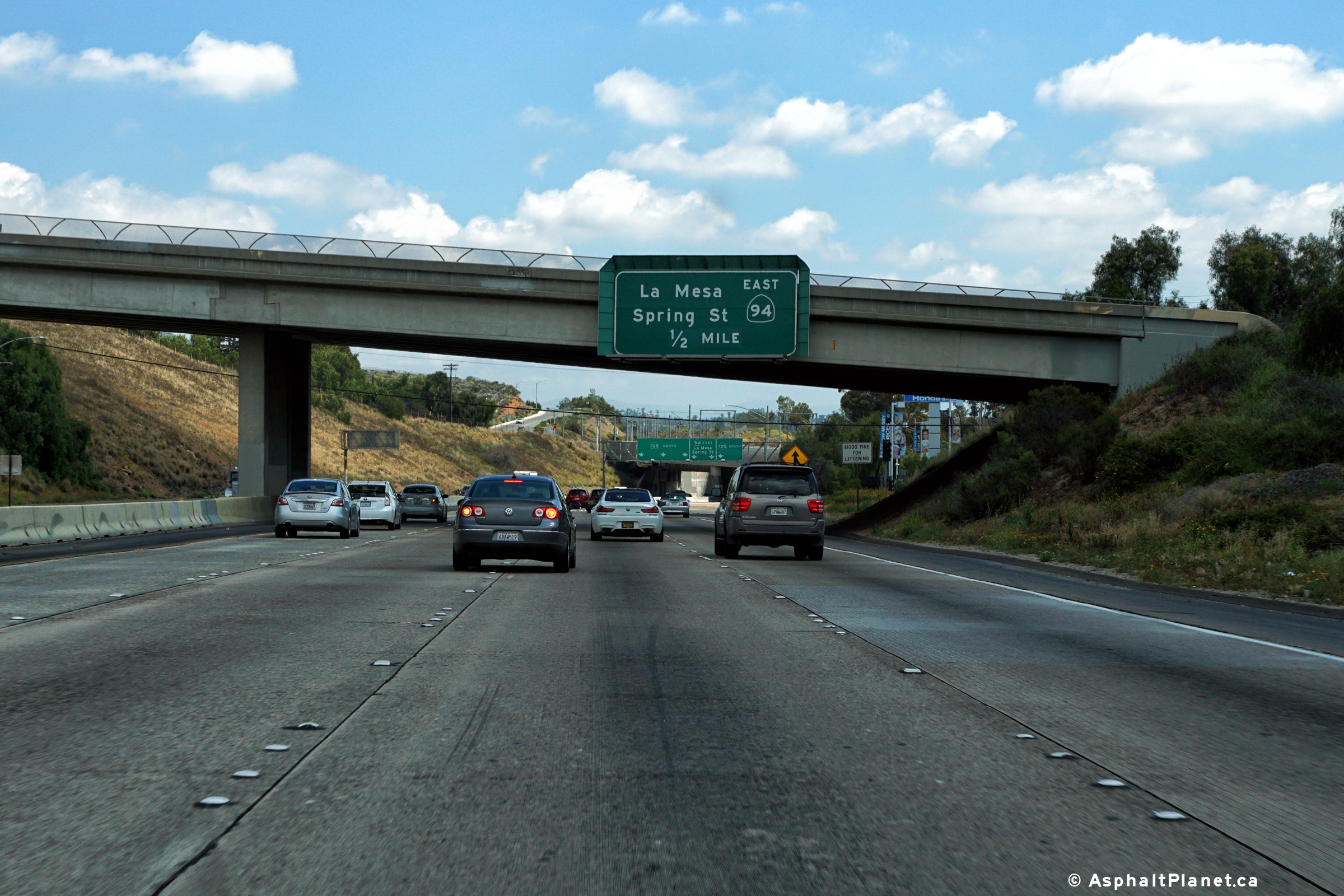
San Diego County |
Easterly view approaching the SR-125 interchange. SR-94 departs the freeway mainline at this interchange. |
 |
||
|
Date: 4/12/2016 |
High-res: (1440x960) (2400x1600) |
|||
|
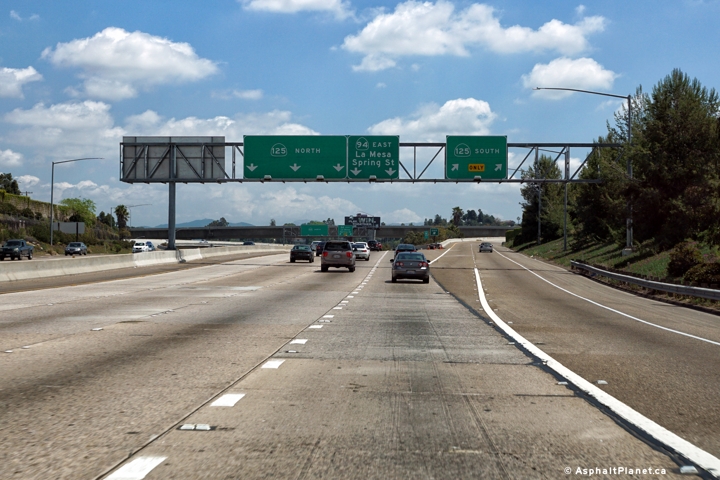
San Diego County |
Overhead lane assignment signage in advance of the SR-125 interchange. |
 |
||
|
Date: 4/12/2016 |
High-res: (1440x960) (2400x1600) |
|||
|
San Diego County |
Signage at the off-ramp to SR-125 South. |
 |
||
|
Date: 4/12/2016 |
High-res: (1440x960) (2400x1600) |
|||
| SR-125 leads north and south from SR-54 through the eastern suburbs of San Diego. Click here for SR-125 Images. | ||||
<- CA-93
CA Highways
CA-96 ->
AsphaltPlanet.ca
© 2010-17 AsphaltPlanet.ca.
Scott@asphaltplanet.ca
Page Created: April 22, 2010.
Last Updated: March 25, 2012.

