King's Highway 65 - www.OntHighways.com

Highway 65 is an east-west highway that begins its course through Northeastern Ontario at Highway 66 just east of Matachewan.  From Highway 66, Highway 65 heads southeasterly towards New Liskeard via Elk Lake.  Highway 65 follows Highway 11's alignment for a short distance around Downtown New Liskeard.  East of New Liskeard, Highway 65 curves around several large bays of Lake Temiskaming before crossing into the province of Quebec and becoming Rue Ontario (an un-numbered Quebec provincial highway.


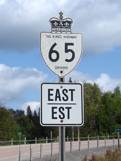
Old Style King's Highway 65 marker

  Western Terminus:  Highway 566 at the Montreal River bridge in Matachewan

Eastern Terminus:  Quebec Route 117 at the Ontario/Quebec Boundary

Length:  127.0km

Multiplexes:  1.0km with Highway 560 in Elk Lake, 2.7km with Highway 11 in Temiskaming Shores, formerly 2.1km with Highway 11B in New Liskeard

Freeway:  No

Trans-Canada Highway: Highway 65 is part of the Trans-Canada Highway where it piggybacks along Highway 11 around New Liskeard.

AADT (2002):  Highest:  13,700, from Highway 11 easterly to Old Highway 11B;

                             Lowest:  200, from Highway 66 easterly to Elk Lake.

Road info:  Highway 65 is in good condition for its entire length.  The western leg of the highway is very lightly traveled.  Closer to New Liskeard, the highway gets busier.  Rural sections of Highway 65 are posted with an 80km/h speed limit.


Highway 65 information:


OntHighways.com  

Detailed Route information available below
Virtual Tour of Highway 65


TheKingsHighway.ca   History of Highway 65
Photographic History of Highway 65

Communities and Major Intersections located along Highway 65 from West to East:

Proper Municipality Name Community Name Distance Intersecting Road
Township of Matachewan ----- (0km) / (127km) King's Highway 66
Township of James Elk Lake (33.3km) / (93.7km) Secondary Highway 560-West
Township of James Elk Lake (34.3km) / (92.7km) Secondary Highway 560-East
District of Temiskaming Osseo --- -----
District of Temiskaming Kanabeek --- -----
Township of Kerns McCool (71.7km) / (55.3km) Secondary Highway 562
Township of Hudson Swastika (88.8km) / (38.2km) (Hammond Lake Road)
City of Temiskaming Shores ----- (100.2km) / (26.8km) King's Highway 11-South
City of Temiskaming Shores Chaput Heights --- King's Highway 11-North
City of Temiskaming Shores Kirkland Lake (104.0km) / (23.0km) Highway 11B (Lakeshore Road)
Township of Harris Sutton Bay --- -----
Ontario / Québec Boundary Kirkland Lake (127.0km) / (0km) Rue Ontario (Québec)

Highway 65 ENDS


<-Highway 64          www.OntHighways.com - Home          Highway 66->


Copyright (c) 2004-2012, AsphaltPlanet.ca  AsphaltPlanet@asphaltplanet.ca

Page last updated:  March 4th, 2012

Page created:  March 4th, 2012