|
Proper Municipality Name |
Photo Description |
Photo |
|
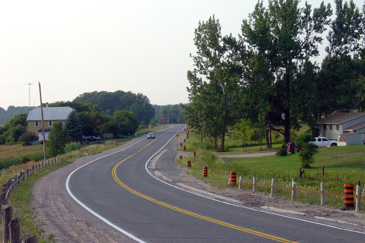
Photos taken
from driver's perspective appear offset from centre-line Photos: |
East-
Bound |
West-
Bound |
|
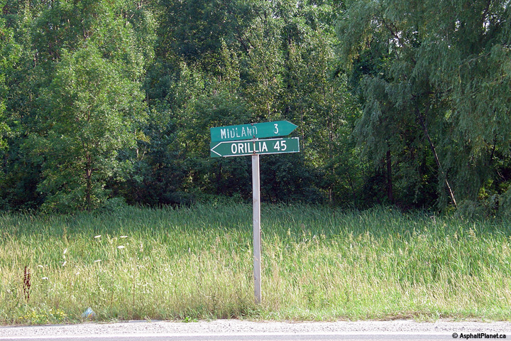
Click
here for Highway 12 images between
Sunderland and Orillia. |
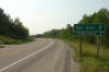
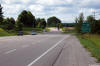
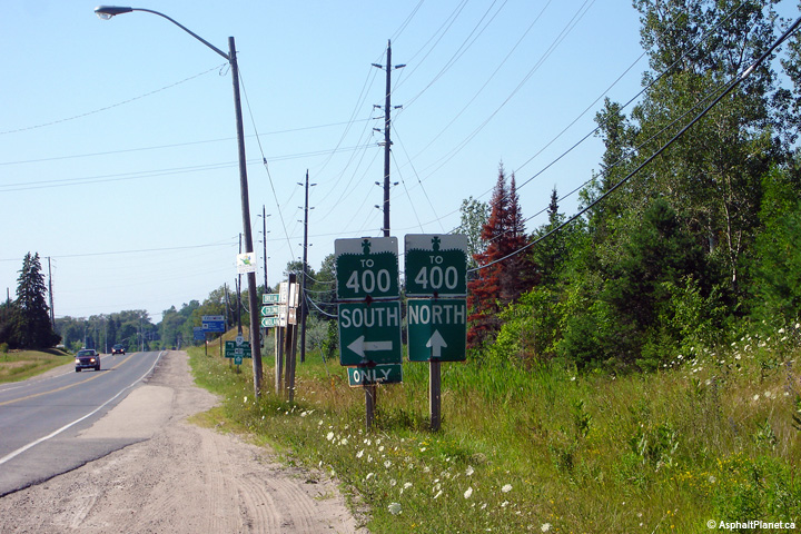
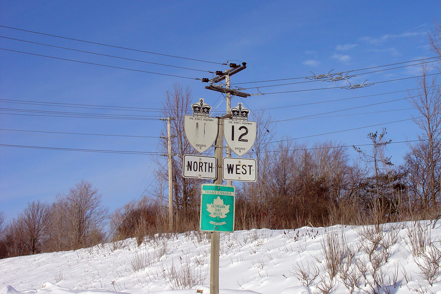
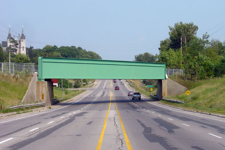
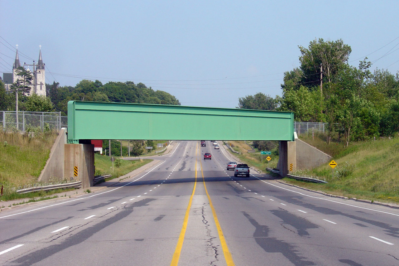
| City of Orillia |
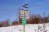
Westbound signage assembly along Highway's 11
and 12. This faded signage assembly has long been replaced.
Photo taken: February 8th, 2004. |
 (720x480) (720x480)
(1440x960) |
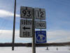
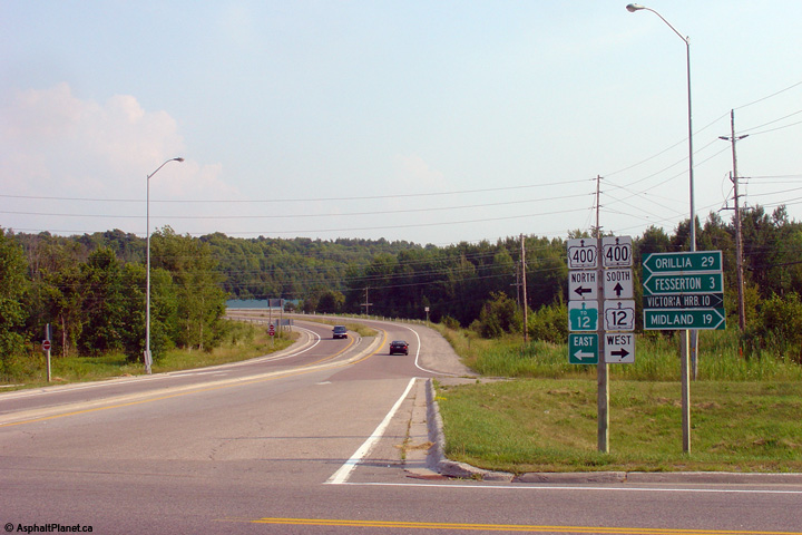
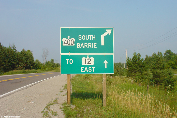
| City of Orillia |
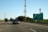
Southbound advanced signage for the ramp to
Highway 12 from the Orillia By-pass. Photo courtesy: Dan Garnell.
Taken: June 9th, 2007. |
 |
| City of Orillia |
Advance sign for the off-ramp to Highway 12 west.
Photo taken: October 22nd, 2014. |
 (720x480) (720x480)
(1440x960)
(2400x1600) |
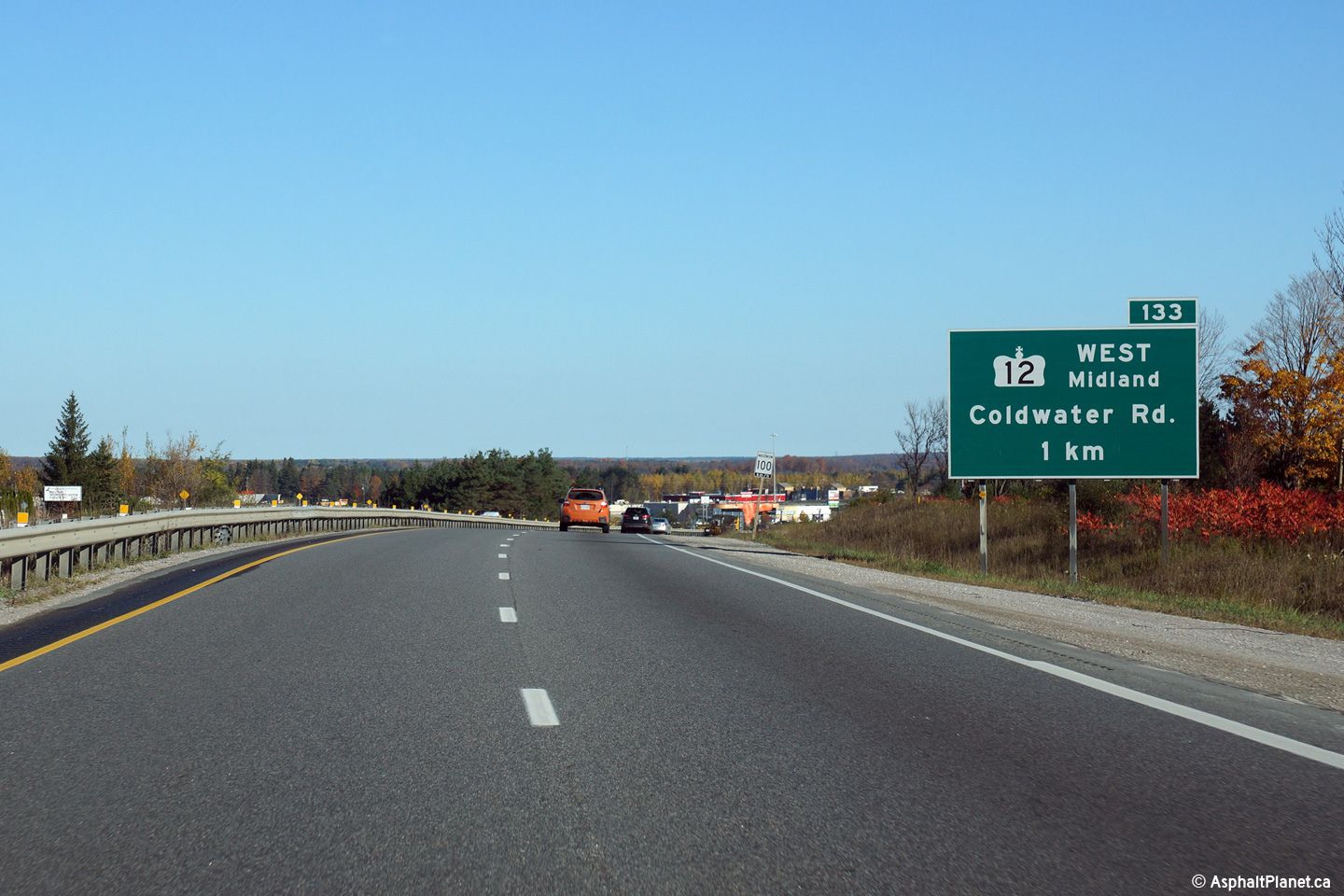
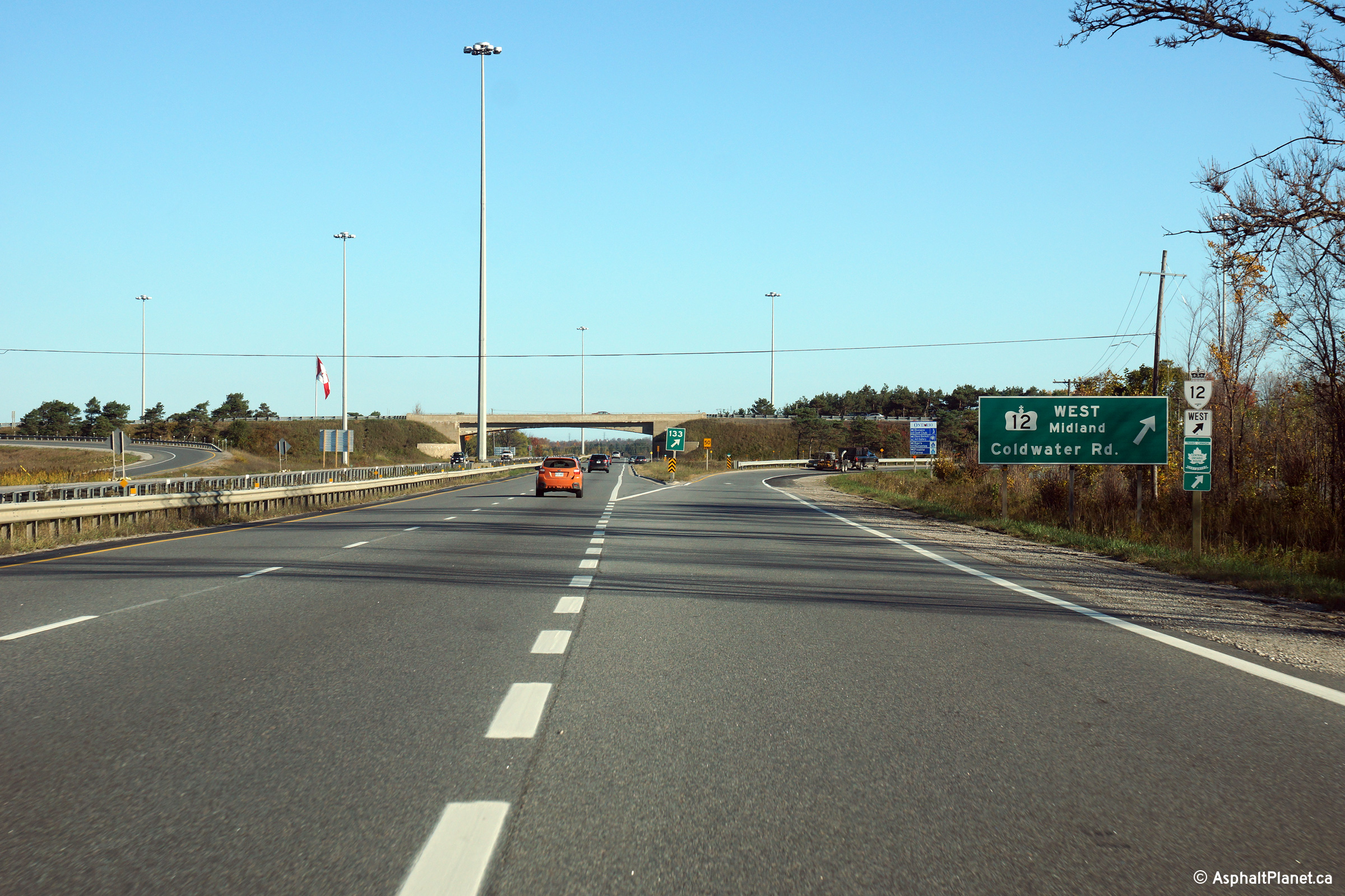
| City of Orillia |
Green signage in advance of the northbound off-ramp to
Highway 12-West,
Coldwater Road. Highway 11 north continues straight ahead. Photo
taken: October 22nd, 2014. |
|
|
Highway 12 is co-designated with
Highway 11 for 2km along the Orillia By-pass.
Click here for Highway 11 images. |
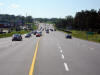
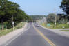
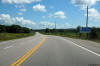
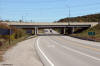
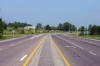
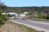
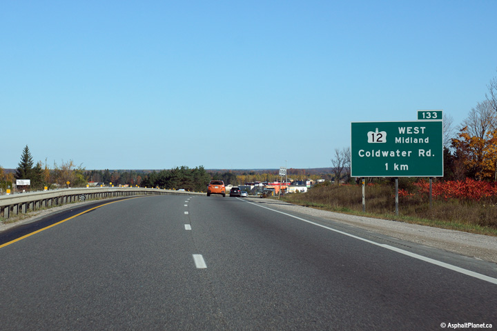
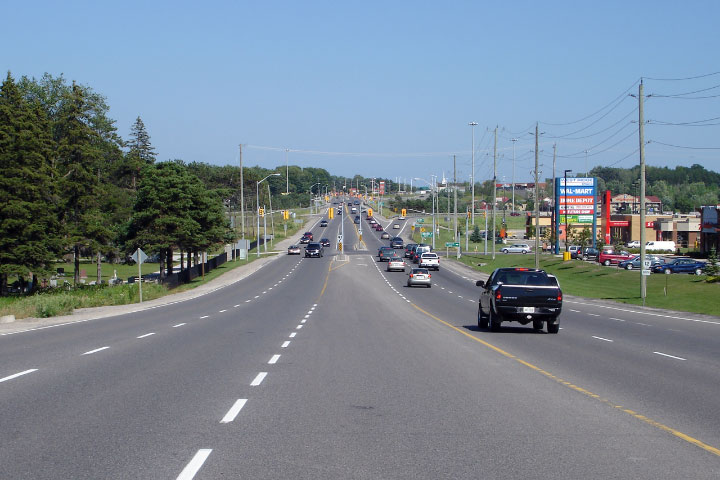
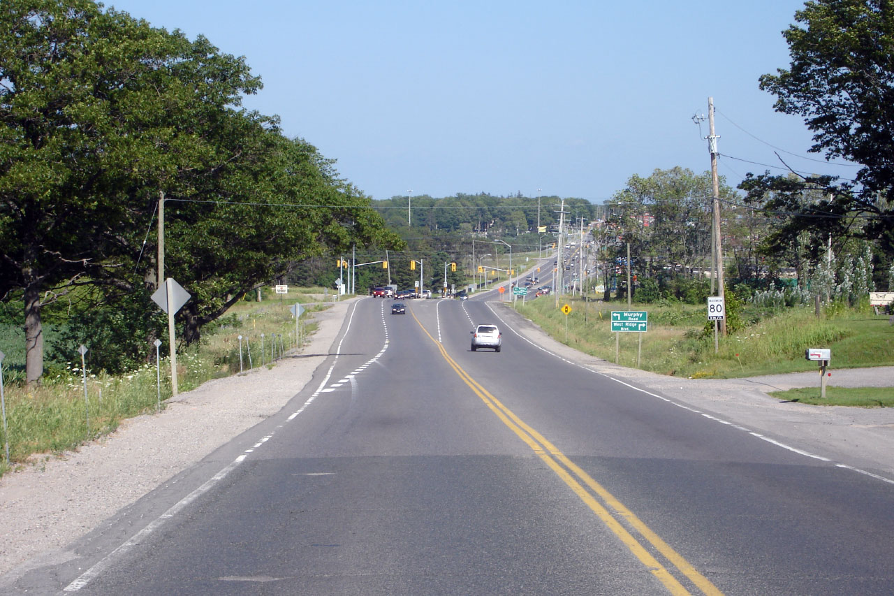
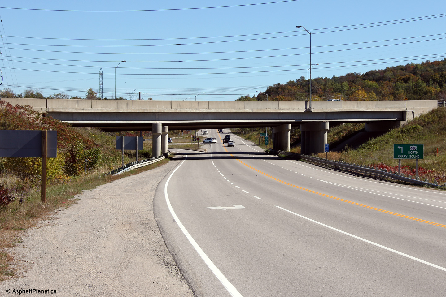
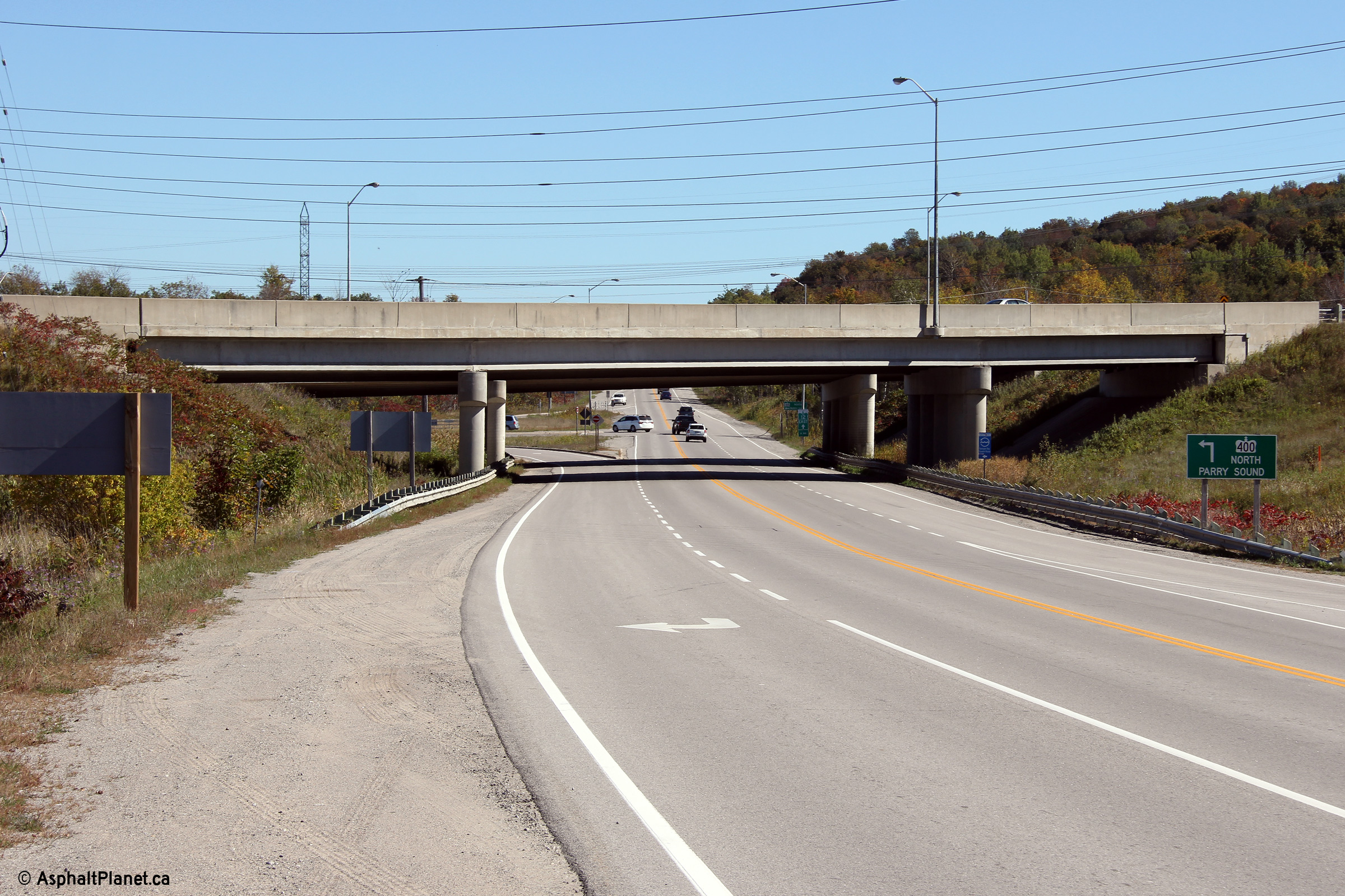
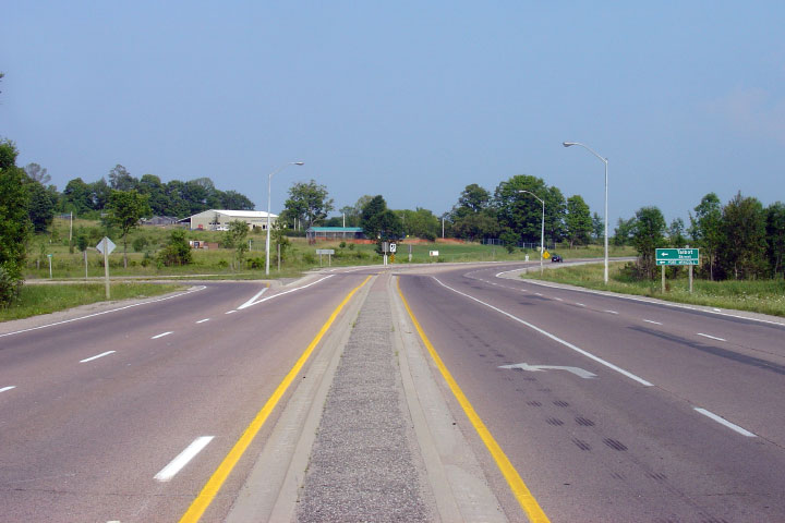
| City of Orillia |
View looking westerly along Highway 12 from the
Highway 11 interchange. Highway 12 was
widened immediately west of Highway 11 in 2002, due in part to some very large commercial developments
constructed adjacent to the highway.
Photo taken: July 15th, 2006. |
(720x480)
(1440x960) |
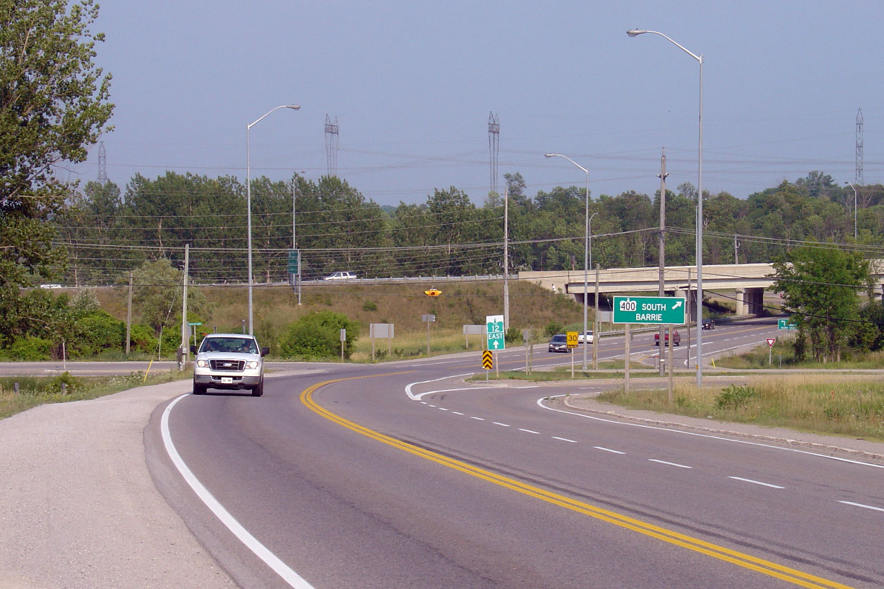
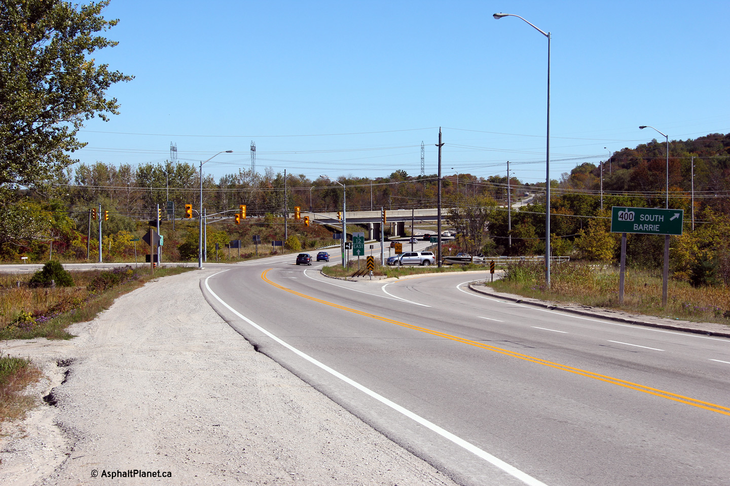
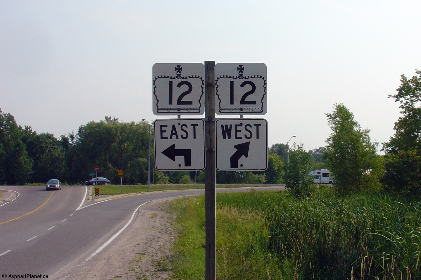
| City of Orillia |
Southbound directional sign for Highway 11 and
12 south. Photo taken: July 15th, 2006. |
 |
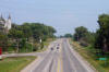
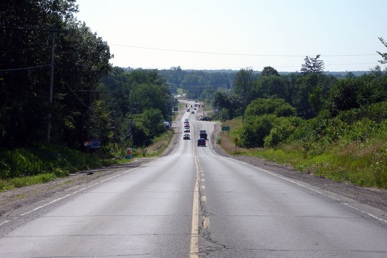
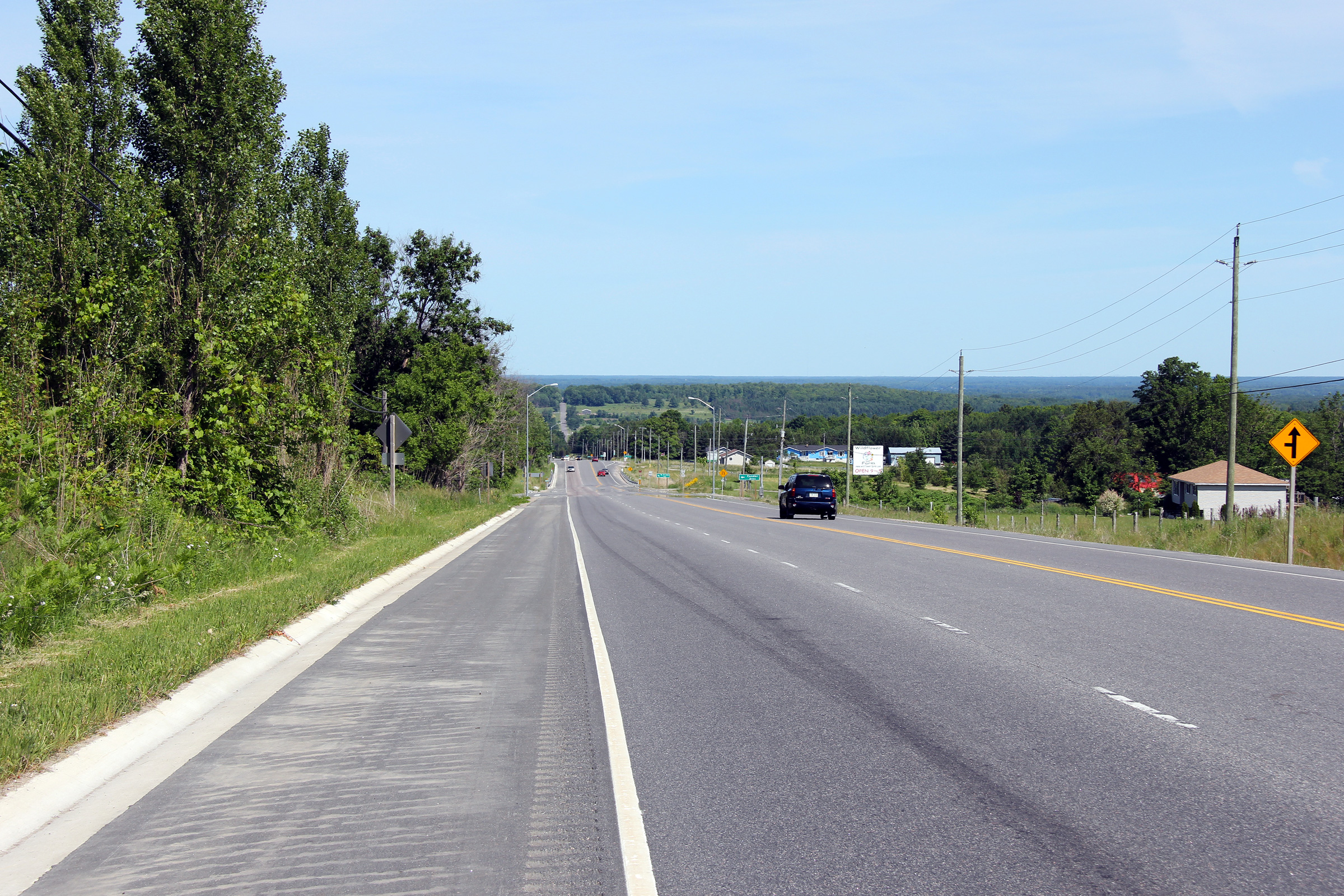
| City of Orillia |
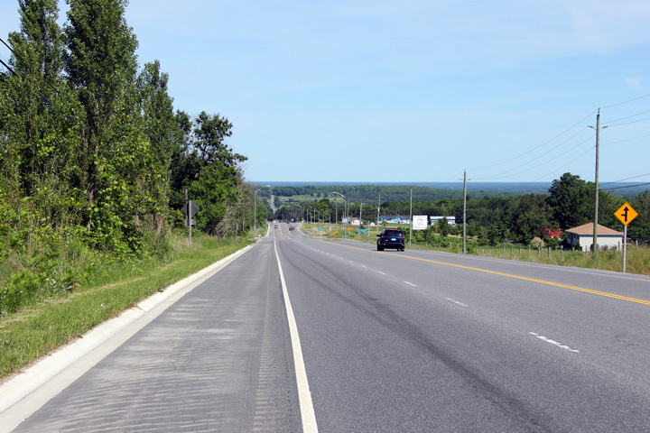
This view looks easterly along Highway 12
towards the Monarch Drive intersection. Monarch Drive services several
large 'big-box' stores which generate considerable traffic along Highway 12.
Photo taken: July 15th, 2006. |

(720x480)
(1440x960) |
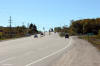
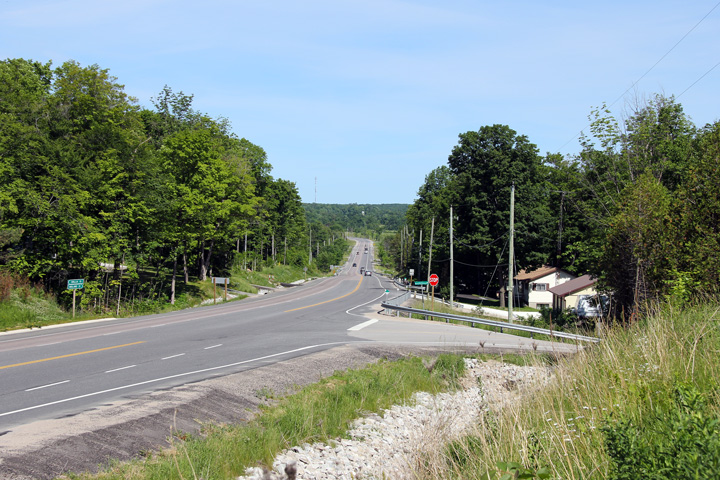
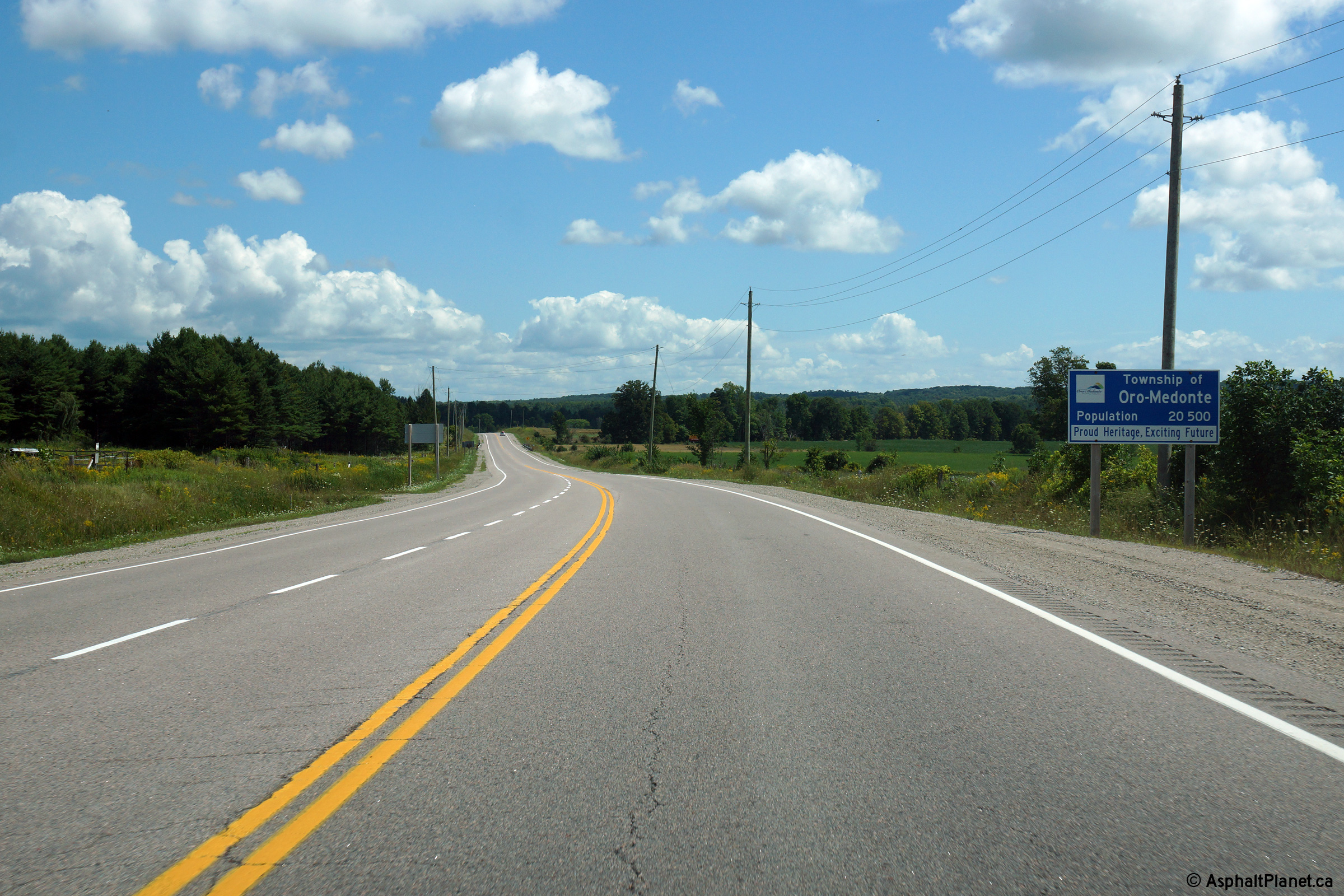
| Township of Oro-Medonte County
of Simcoe |
Another easterly view (this time from west of
Murphy Road) towards the short 4-lane stretch of Highway 12 through Western
Orillia. Photo taken: July 15th, 2006. |
(720x480)
(1440x960) |
| Township of Oro-Medonte County
of Simcoe |
This view looks west from just west of the
previous vantage point. Highway 12 was resurfaced in 2006, after the upper
photo of this set was taken. Upper photo taken: July 15th, 2006. Lower
photo taken: June 19th, 2011. |
(720x480)
(1440x960)
(2400x1600) |
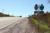
| Township of Oro-Medonte County
of Simcoe |
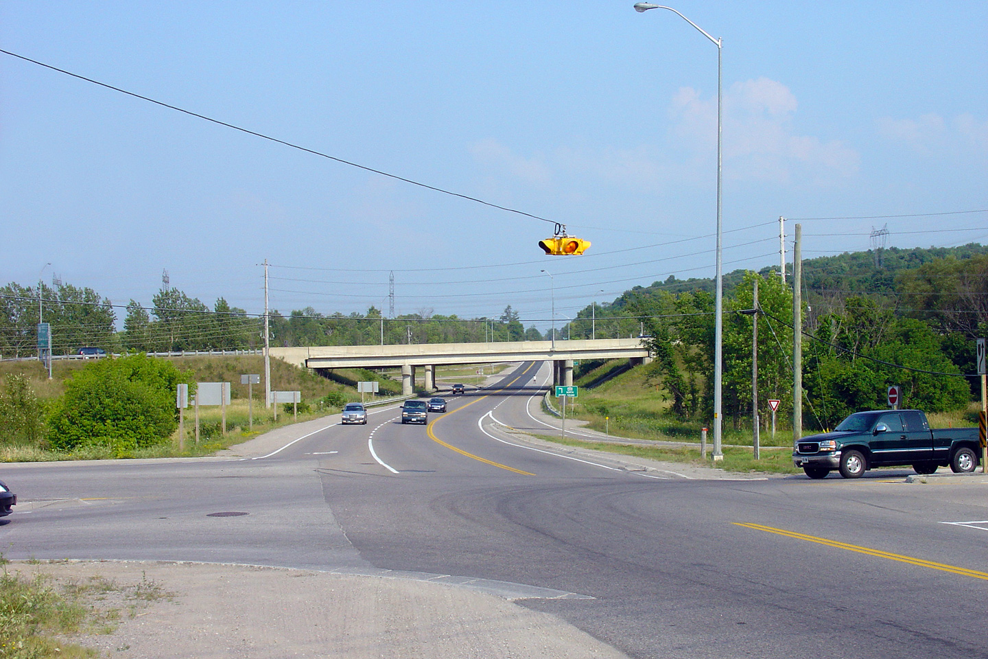
Looking west towards the Horseshoe Valley Road
intersection. Traffic signals were added at this intersection in a
rather temporary fashion. Very few signal heads are mounted on guy
wires in the province. Photo taken: July 15th, 2006. |
|
| Township of Oro-Medonte County
of Simcoe |
Easterly view towards the Horseshoe Valley Road
intersection. Photo taken: July 15th, 2006. |
|
| Township of Oro-Medonte County
of Simcoe |
View looking westerly passes through the North
River Valley.
Photo taken: October 22nd, 2014. |
(720x480)
(1440x960)
(2400x1600) |
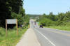
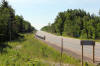
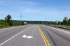
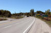
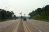
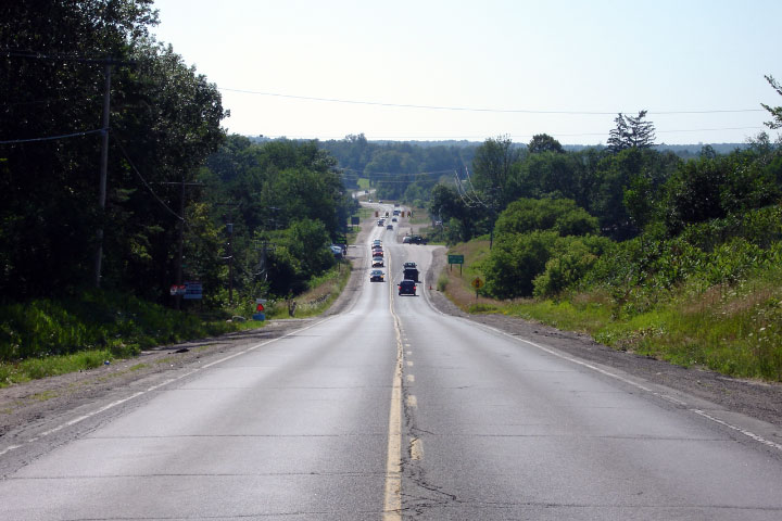
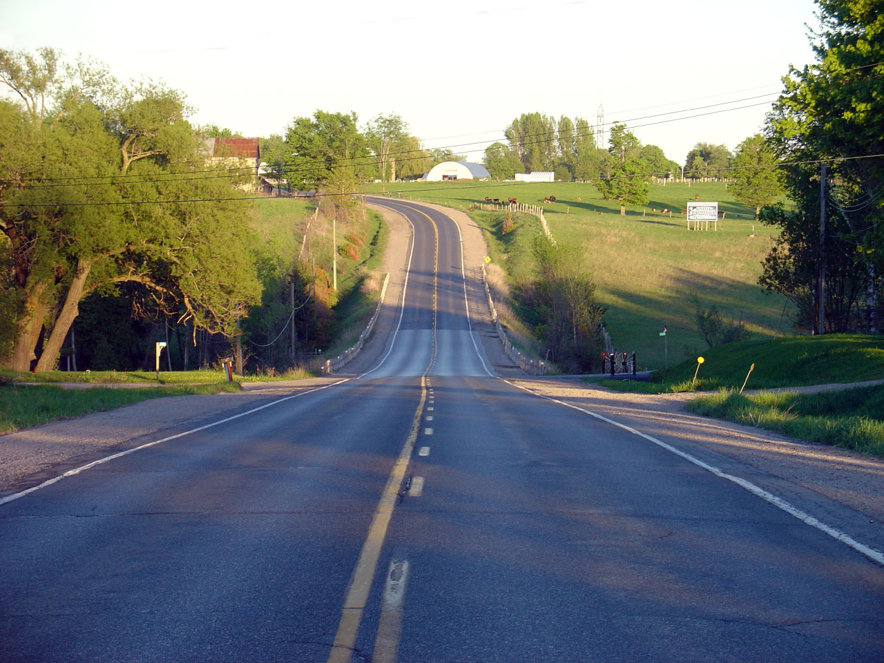
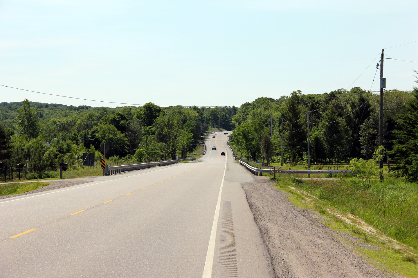
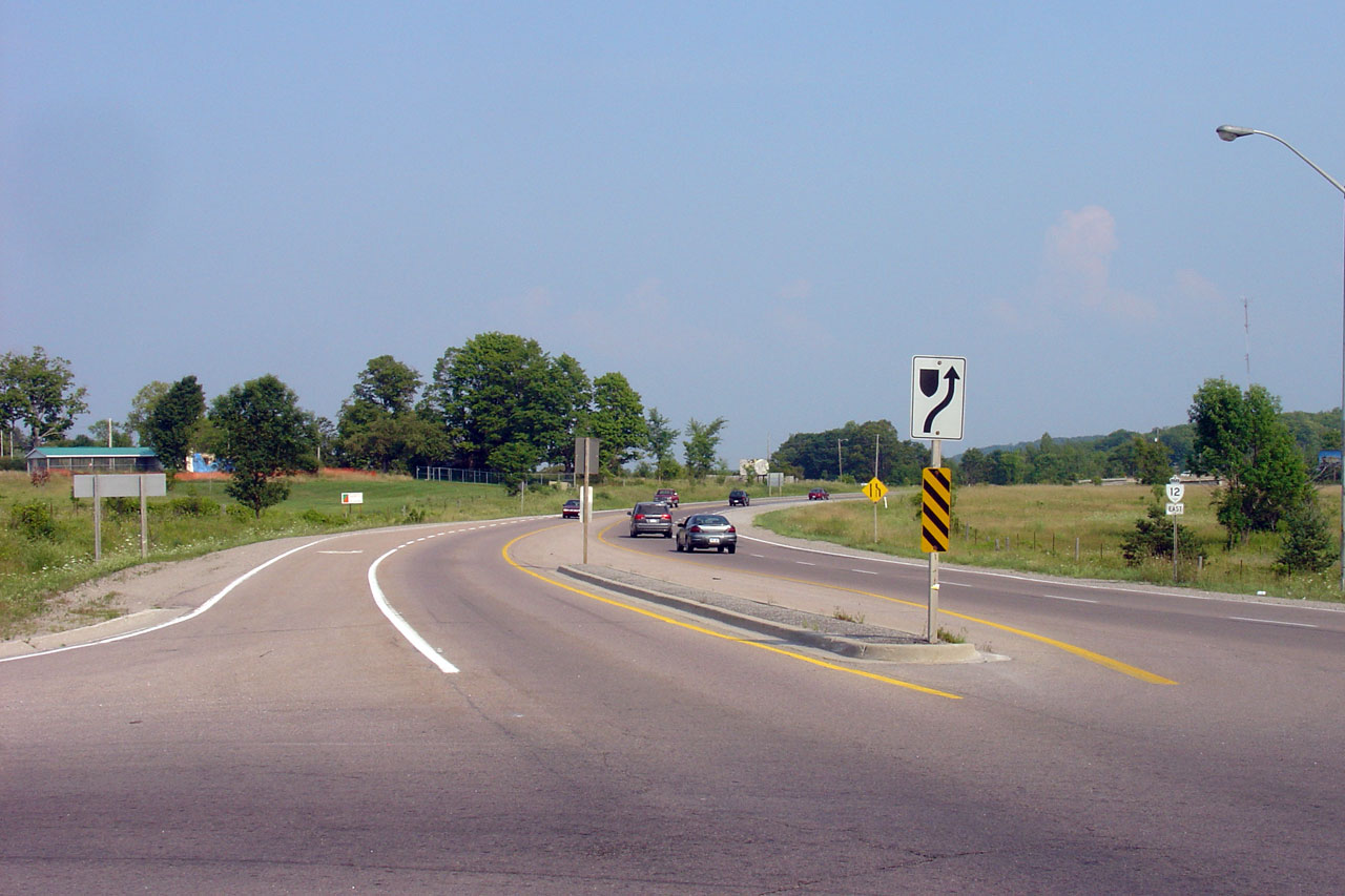
| Township of Oro-Medonte County
of Simcoe |
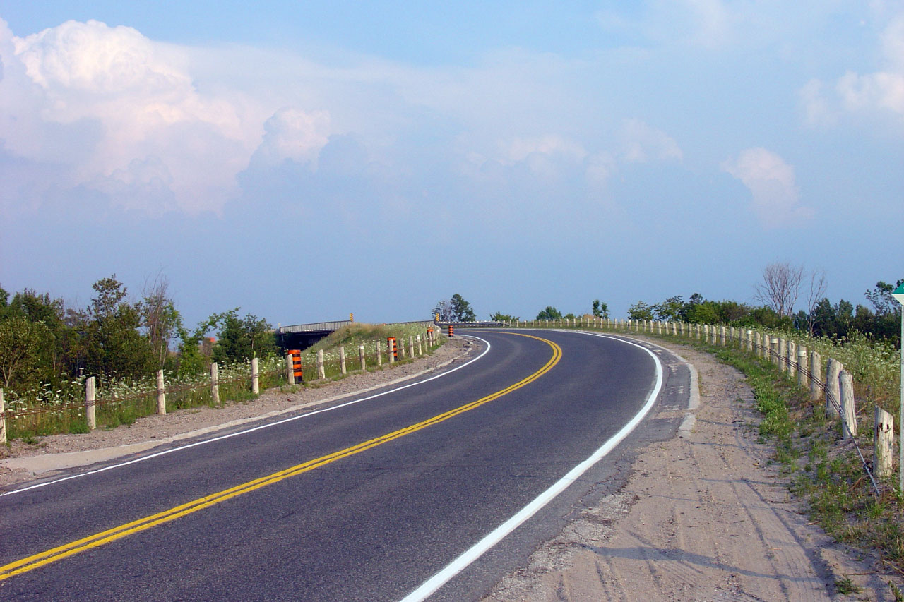
Vertical sag curve along Highway 12 just west of
Warnminster. Photo taken: May 25th, 2005. |
|
| Township of Oro-Medonte County
of Simcoe |
View looking westerly along Highway 12 as the
highway descends the long Warnminster Hill.
Photo taken: June 19th, 2011. |

(720x480)
(1440x960)
(2400x1600) |
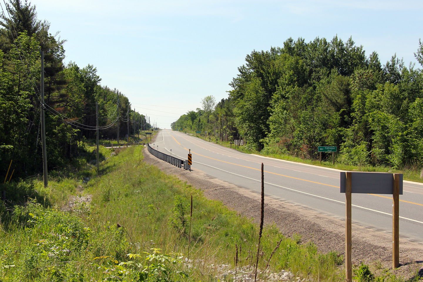
| Township of Oro-Medonte County
of Simcoe |
Easterly view from the Cahiague Road
intersection towards Warnminster.
Photo taken: June 19th, 2011. |
(720x480)
(1440x960)
(2400x1600) |
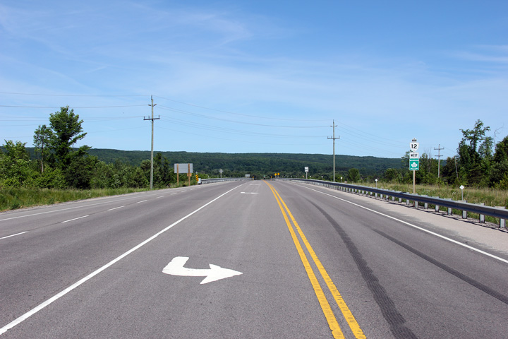
| Township of Oro-Medonte County
of Simcoe |
Westerly view towards Coldwater from the
Cahiague Road intersection.
Photo taken: June 19th, 2011. |
(720x480)
(1440x960)
(2400x1600) |
| Township of Oro-Medonte County
of Simcoe |
View looking easterly along Highway 12
approaching the long Warnminster Hill and associated passing lane. The
centreline alignment of Highway 12 approaching the passing lane appears very
kinked from this vantage point. The engineer responsible for the
design of this passing lane (it was constructed in 2009) should have
elongated and straightened the taper at the start of the lane.
Photo taken: June 19th, 2011 |

(720x480)
(1440x960)
(2400x1600) |
| Township of Oro-Medonte County
of Simcoe |
View looking easterly from just east of the
Moonstone Road intersection.
Photo taken: August 24th, 2014. |
(720x480)
(1440x960)
(2400x1600) |
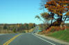
| Township of Oro-Medonte County
of Simcoe |
Westerly view along Highway 12 approaching the
CP Rail overhead from the Moonstone Road intersection. A secondary
objectives of this website is to help show site readers just how beautiful Ontario
is.
Photo taken: June 19th, 2011. |
(720x480)
(1440x960)
(2400x1600) |
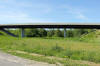
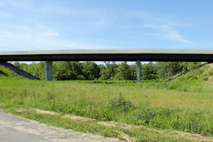
| Township of Oro-Medonte County
of Simcoe |
Two views of the Coldwater
Overhead along Highway 12. The upper photo was taken in 2007 and shows what
I (not being a structural engineer) would interpret to be a partial
structural failure. It appears to my untrained eye that the span length was
constructed to be too long and has exceeded the material strength of the
concrete and interior rebar. The lower 2011 photo shows the structure after
a full deck and substructure replacement. The continuous concrete girders
of the 1966 (upper) structure were replaced with structural
steel in 2009. These photos, particularly the upper 2007 photo,
reinforce the importance of routine structural inspections for all highway
bridges.
The Ontario Structural Inspection Manual (OSIM) stipulates that an
inspection is to be carried out every second calendar year to assess the
condition of all structures in Ontario.
Upper photo taken: August 2nd, 2007.
Lower photo taken: June 19th, 2011. |
(720x480)
(1440x960)
(2400x1600) |
| Township of Oro-Medonte County
of Simcoe |
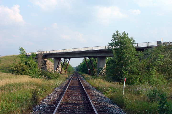
View looking east as Highway 12 crosses the
mainline CP railway between Toronto and Sudbury. Photo taken: August 2nd,
2007. |
|
| Township of Oro-Medonte County
of Simcoe |
Looking west from just west of the CP Railway
overhead. Through this valley, Highway 12 is but a stones throw away
from the 400. Photo taken: August 2nd, 2007. |
|
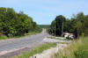
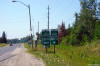
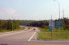
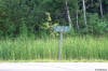
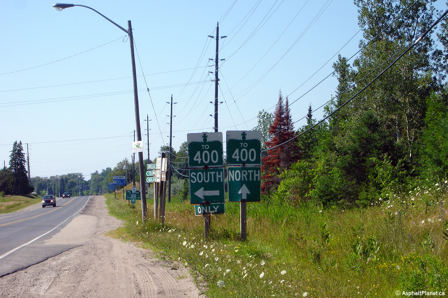
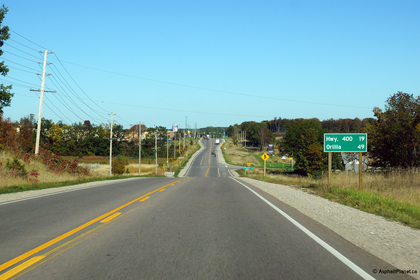
| Township of Severn County of
Simcoe |
Unique oversized Highway 400 trailblazers
situated at the Lower Big Chute Road intersection. Lower Big Chute
Road is a former alignment of Highway 400. Highway 400 temporarily
ended at this intersection between the 1950s and 1980s. The signage at
this intersection has since been replaced.
Photo taken: July 15th, 2006. |
 (720x480) (720x480)
(1440x960) |
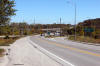
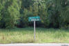
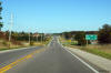
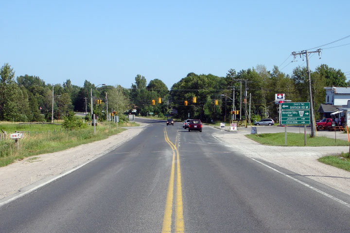
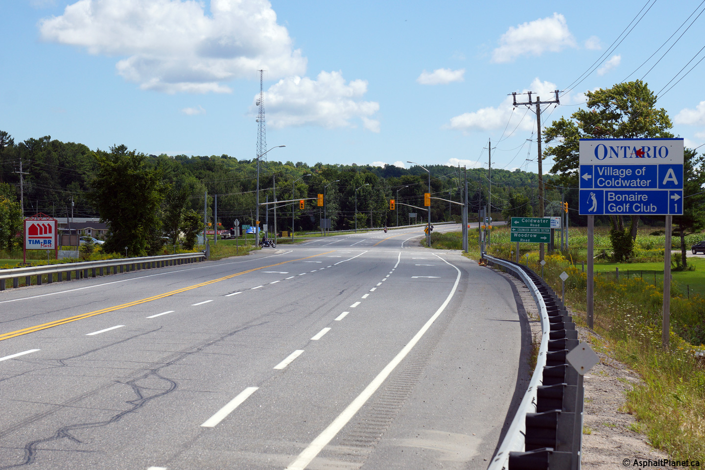
Township of Severn
County of Simcoe |
Easterly view through the Coldwater Road
intersection.
Photo taken: August 24th, 2014. |

(720x480)
(1440x960)
(2400x1600) |
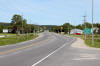
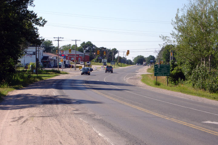
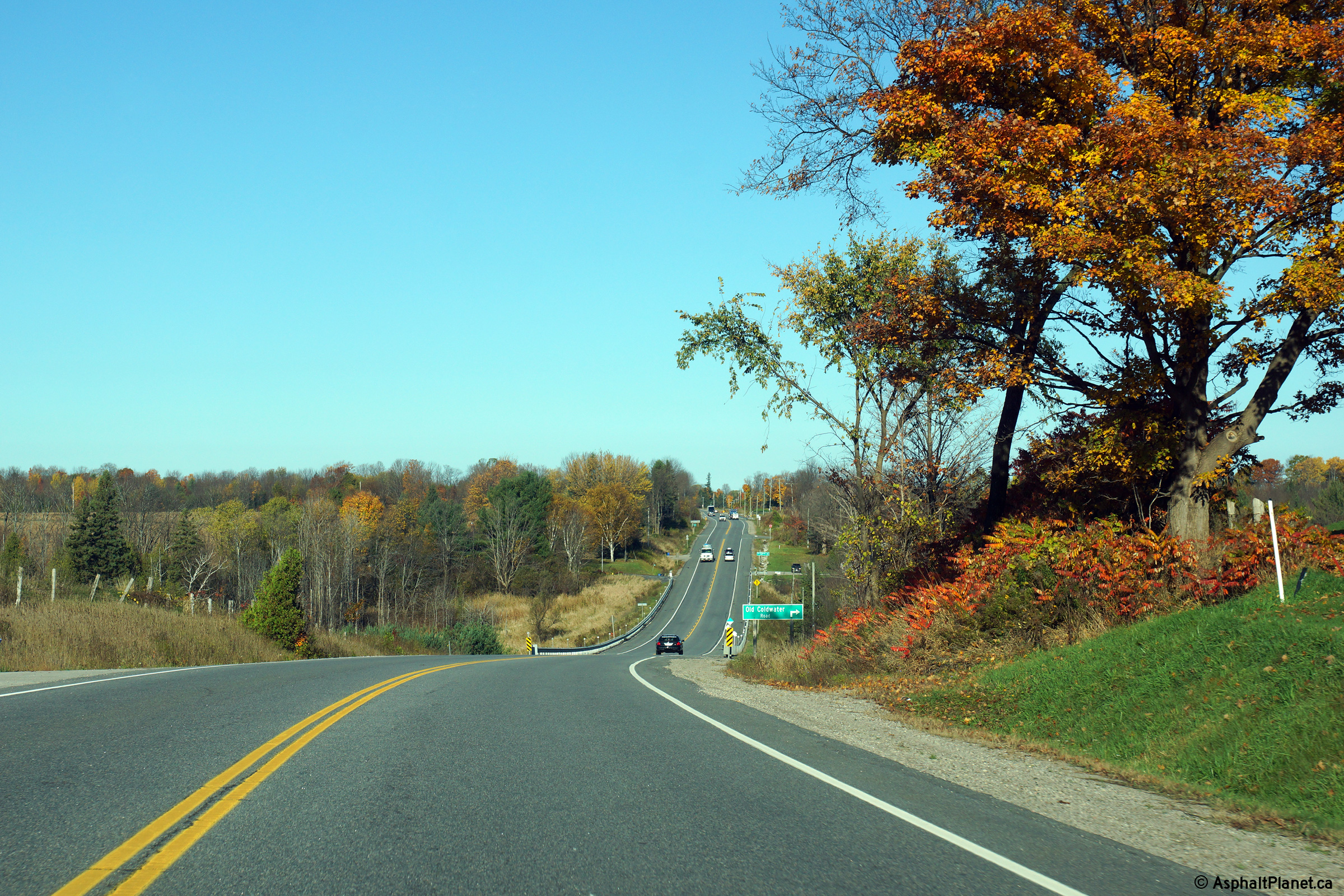
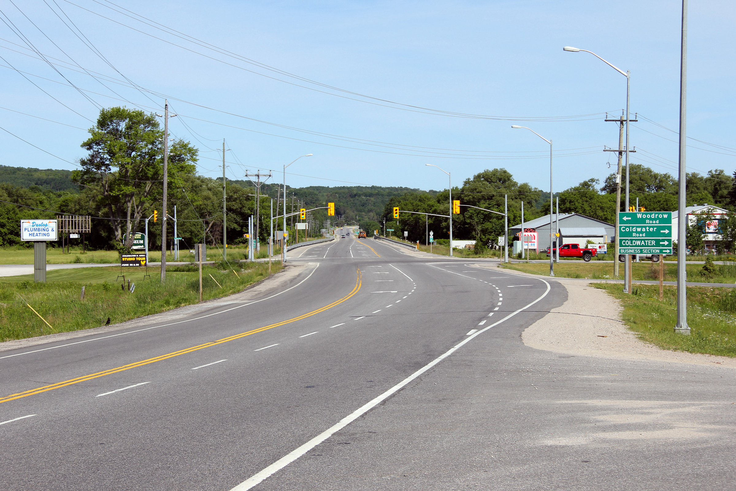
Township of Severn
County of Simcoe |
View looking westerly approaching the Coldwater
Road intersection. Highway 12 entered Coldwater via the Coldwater Road
until the Coldwater By-pass was built in the 1959. The Coldwater
By-pass was completed at the same time as the Highway 400 extension from
Crown Hill northerly to just south of Coldwater.
Photo taken: June 19th, 2011. |
(720x480)
(1440x960)
(2400x1600) |
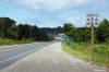
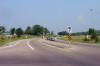
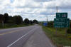
Township of Severn
County of Simcoe |
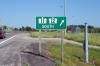
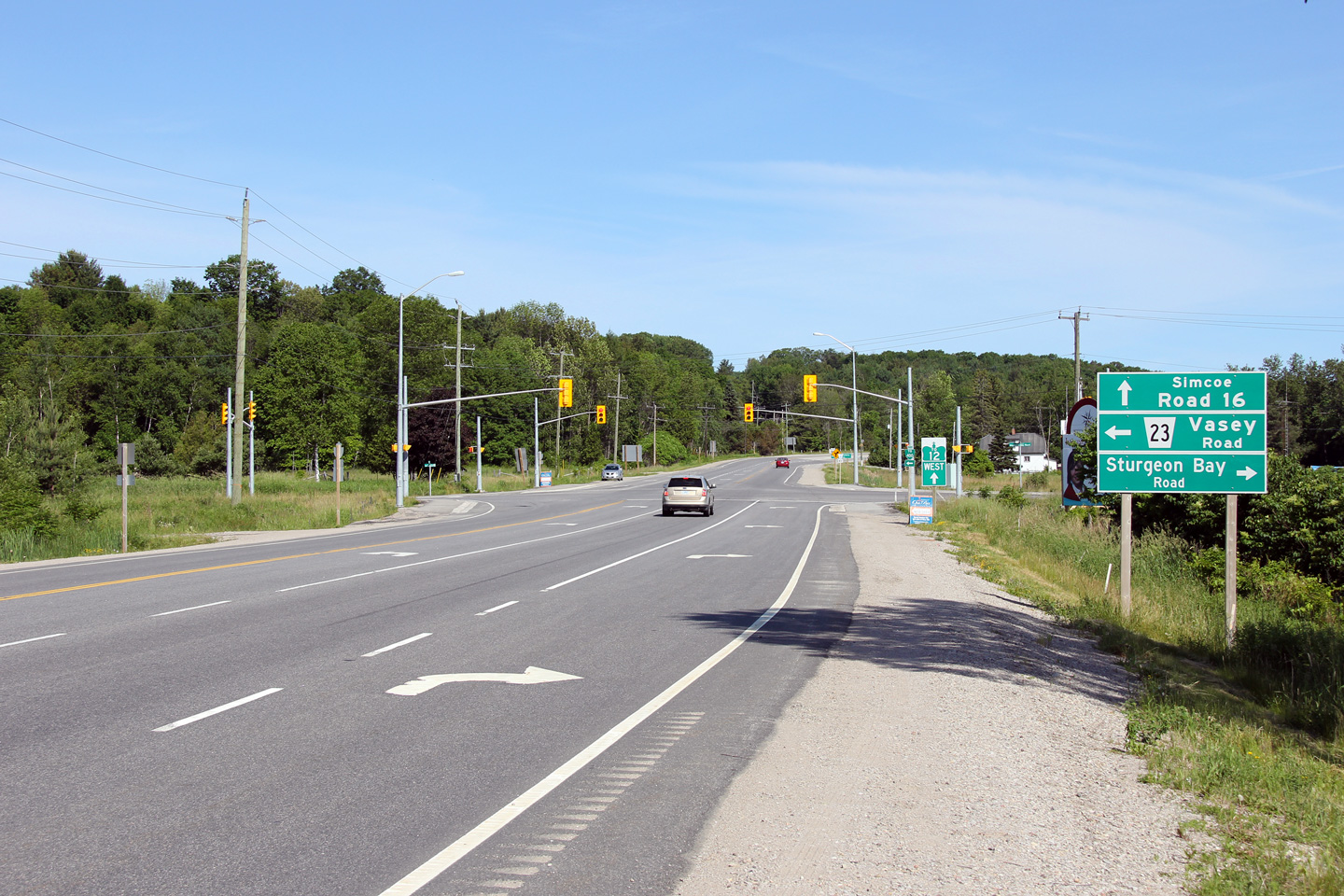
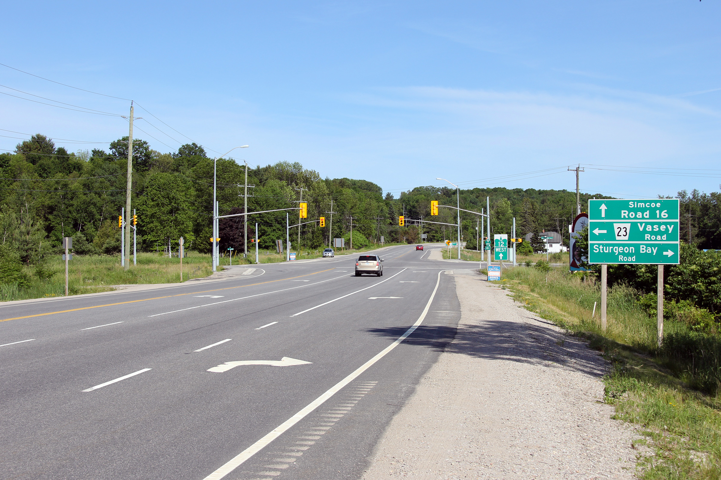
Looking westerly at the western terminus of
Highway 12 at Simcoe Road 23. Highway 12 was transferred to the County of
Simcoe between this junction and the Highway 400 interchange located 5km
northwesterly in 1997. Initially Highway 12 was co-designated along the
adjacent Highway 400 to fill in the gap. Sometime circa. 2005-07 the MTO
decided to revert Highway 12 onto its original alignment (now Simcoe Road
16) and sign the discontinuous section of Highway 12 with
trailblazers.
Photo taken: June 19th, 2011. |

(720x480)
(1440x960)
(2400x1600) |
Township of Severn
County of Simcoe |
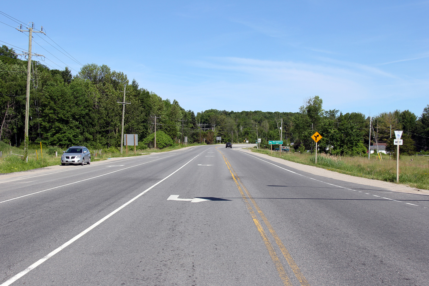
View looking easterly along what was Highway 12
and is now Simcoe Road 16 from the Vasey Road intersection. Note in
addition to the Simcoe Road 16 route marker that the Trans-Canada Highway
designation has simply disappeared from the signage.
Photo taken: June 19th, 2011. |

(720x480)
(1440x960)
(2400x1600) |
Township of Severn
County of Simcoe |
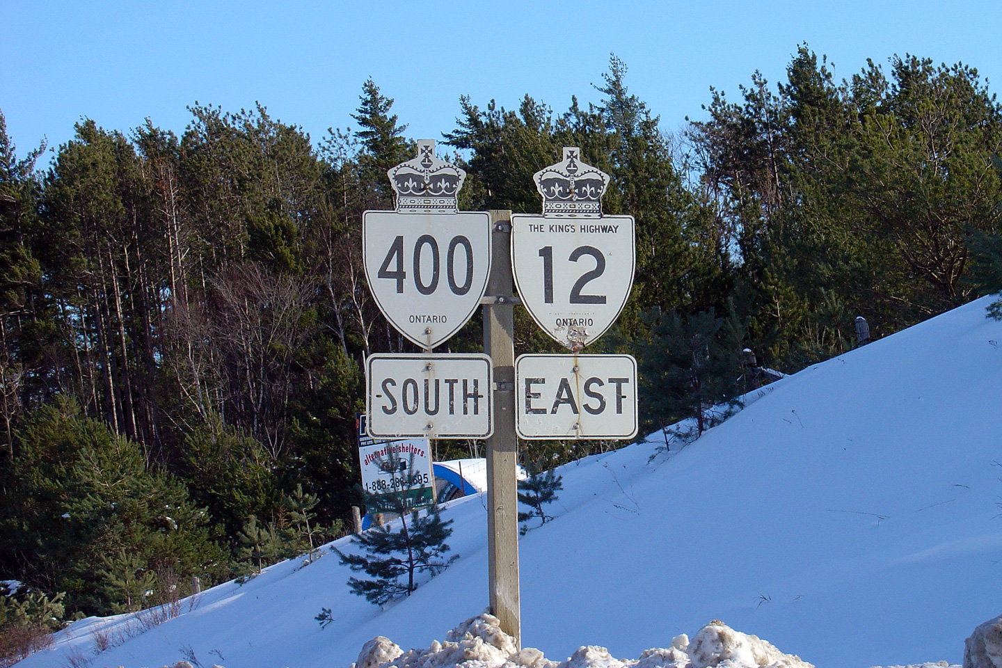
Former shield assembly located
southbound along Highway 400. This highway sign stood in 2004 when
Highway 12 was signed concurrently with Highway 400, however this assembly
was removed sometime before 2007, when all of the signs that pointed Highway
12 traffic towards Highway 400 were removed. New signs have
subsequently been reinstalled.
Photo taken: February 8th, 2004. |
 (720x480) (720x480)
(1440x960) |
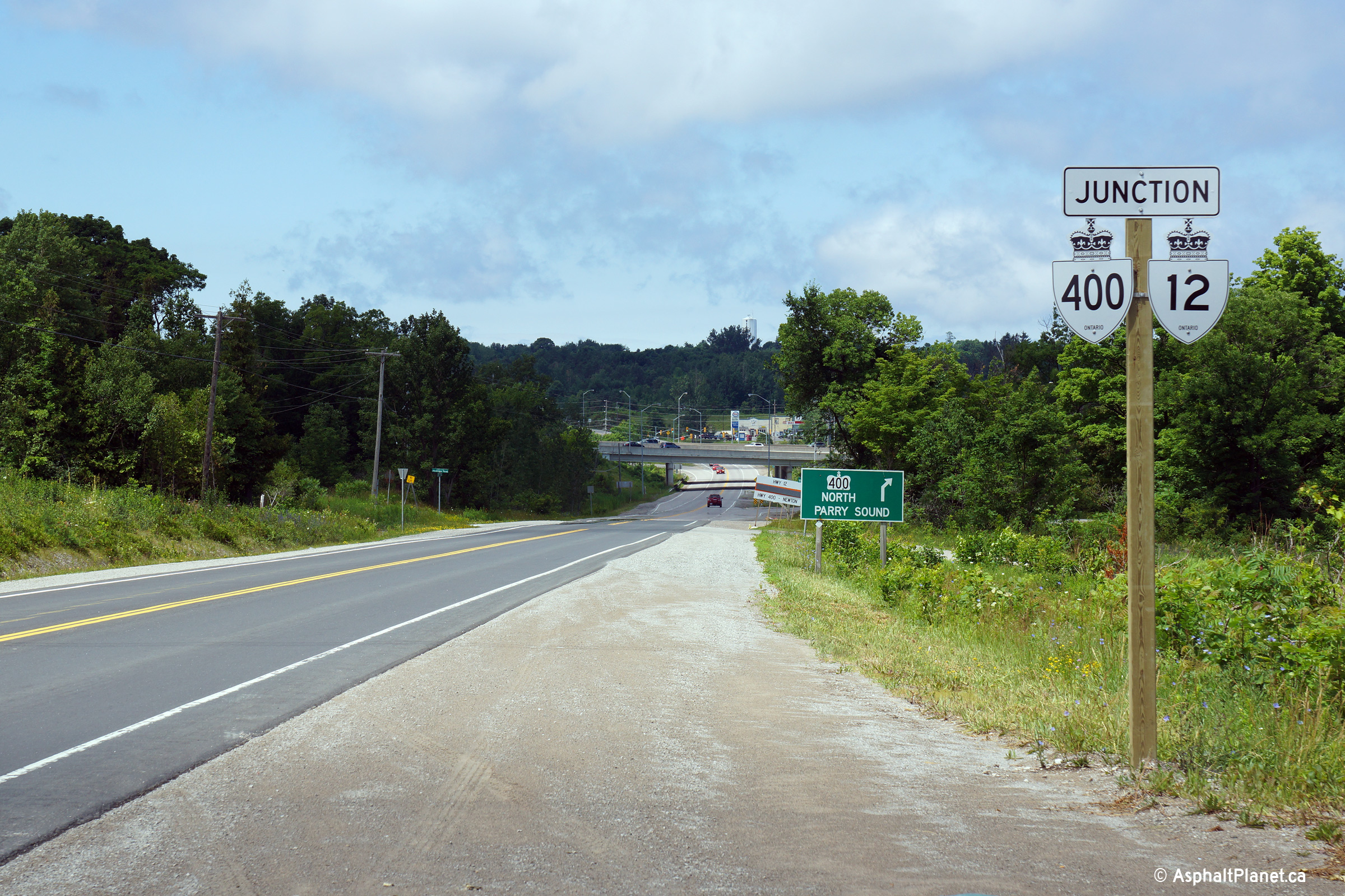
Township of Severn
County of Simcoe |
This "Junction 400/12" assembly was installed
during the Summer of 2014 in advance of the western Highway 400 interchange
along today's Simcoe Road 16.
Photo taken: July 13th, 2014. |
 (720x480) (720x480)
(1440x960)
(2400x1600) |
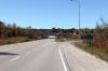
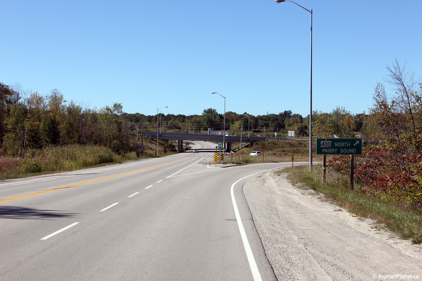
Township of Severn
County of Simcoe |
Westerly view at the ramp to Highway 400 North
from Simcoe Road 16 (Formerly Highway 12).
Photo taken: September 27th, 2013. |
(720x480)
(1440x960)
(2400x1600) |
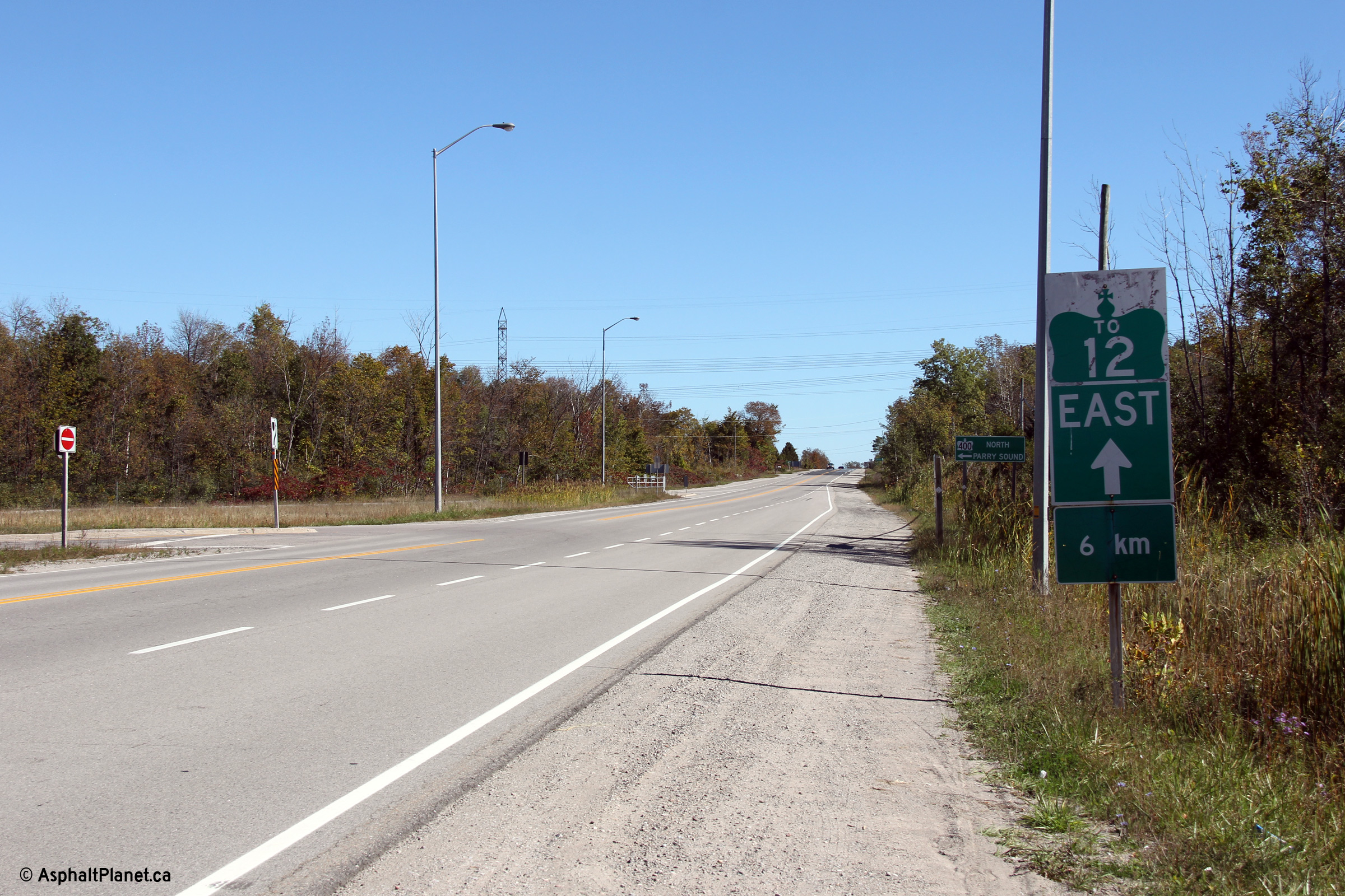
Township of Severn
County of Simcoe |
This trailblazer directing eastbound traffic
bound for Highway 12 to follow Simcoe Road 16 was removed during the Summer
of 2014 when Highway 12 was resigned along Highway 400 between Waubaushene
and Coldwater.
Photo taken: September 27th, 2013. |
|
|
Highway 400 is Southern Ontario's
major north-south highway, running from Toronto to Parry Sound.
Click
here for Highway 400 images. |
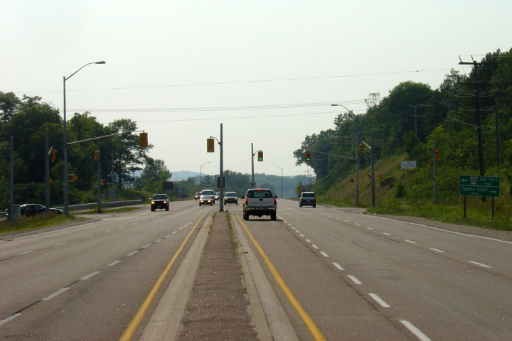
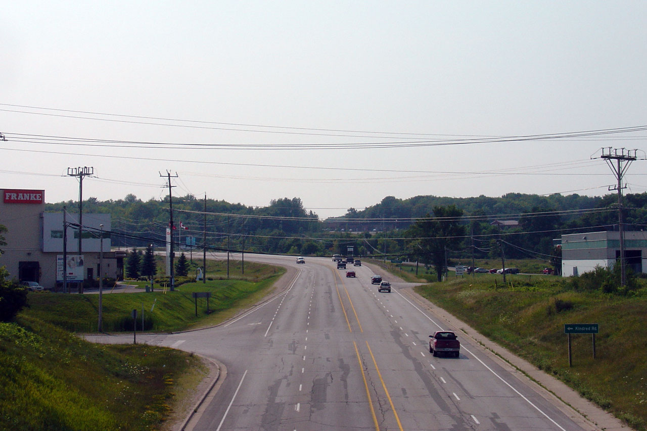
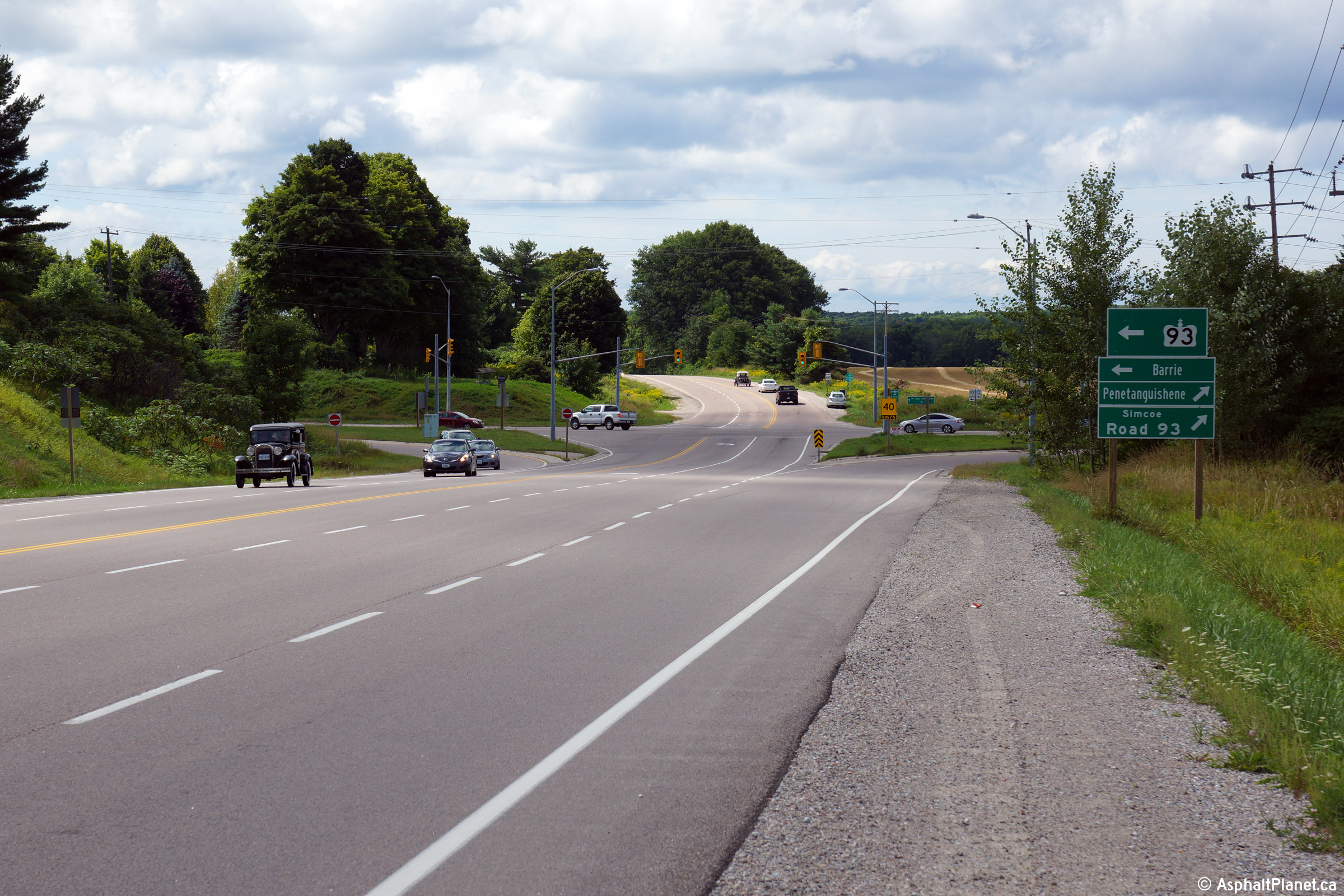
| Township of Tay County of
Simcoe |
Tow views looking easterly along Highway 12
approaching the northern Highway 400 interchange.
Upper photo taken: August 2nd, 2007.
Lower photo taken: September 27th, 2013. |
(720x480)
(1440x960)
(2400x1600) |
| Township of Tay County of
Simcoe |
View looking westerly along Highway 12 towards
the southbound Highway 400 ramp terminals.
Photo taken: September 27th, 2013. |
(720x480)
(1440x960)
(2400x1600) |
| Township of Tay County of
Simcoe |
Looking south towards the
southbound ramp terminal. Photo taken: August 2nd, 2007. |
(720x480)
(1440x960) |
| Township of Tay County of
Simcoe |
Two views looking easterly towards the
Highway 400 interchange. Upper photo taken:
August 2nd, 2007. Lower photo taken: September 27th, 2013. |

(720x480)
(1440x960)
(720x480)
(1440x960)
(2400x1600) |
| Township of Tay County of
Simcoe |
Signage for Highway 400-South advising Highway
12 South traffic to continue along Highway 12's former alignment, now Simcoe
Road 16. Six km of Highway 12 had been rerouted onto Highway 400 in 1997, a
routing which was repealed in 2004, and was once again (logically)
reinstated in 2014. This signage has subsequently been updated.
Photo taken: August 2nd, 2007. |
|
| Township of Tay County of
Simcoe |
View looking west towards the Park Street.
Park Street is the main route into Victoria Harbour from the east, and is a
former alignment of Highway 12. Photo taken: August 2nd, 2007. |
(720x480)
(1440x960) |
| Township of Tay County of
Simcoe |
Ancient fingerboard signs
along Highway 12 at Victoria Harbour. New fingerboard signs are much
larger then this. Photo taken: August 2nd, 2007. |
(720x480)
(1440x960) |
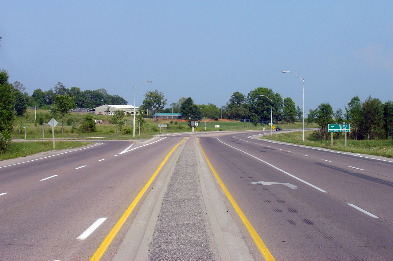
| Township of Tay County of
Simcoe |
View looking east from Talbot Street.
Talbot Street is a former alignment of Highway 12. Photo taken: August
2nd, 2007. |
(720x480)
(1440x960) |
| Township of Tay County of
Simcoe |
Old style fingerboard signs at
the Talbot Street intersection. Few fingerboard signs with clipped
corners remain on Ontario's Highways today.
Photo taken: August 2nd, 2007. |
(720x480)
(1440x960) |
| Township of Tay County of
Simcoe |
Advanced signage for the Highway
12 intersection along Talbot Street.
Photo taken: August 2nd, 2007. |

(720x480)
(1440x960) |
| Township of Tay County of
Simcoe |
Looking west towards Talbot Street.
Highway 12 narrows from a large 4.5 urban cross section to a 2-lane rural
cross-section at Talbot Street. Photo taken: August 2nd, 2007. |
(720x480)
(1440x960) |
| Township of Tay County of
Simcoe |
View looking west at the signalized intersection
with Old Fort Road. This is the first set of traffic signals west of
Highway 400. Photo taken: August 2nd, 2007. |
(720x480)
(1440x960) |
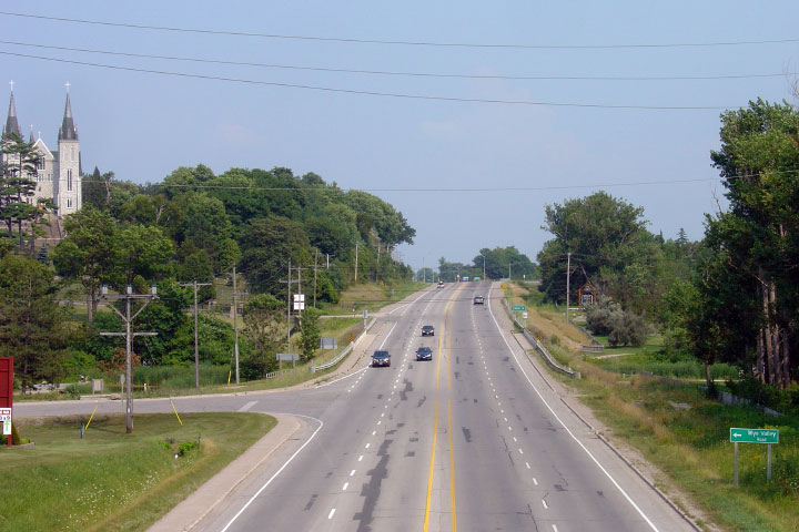
| Town of Midland County of
Simcoe |
Looking east from the CN railway overpass.
The large church on the left is the Martyr's Shrine. Photo taken: August
2nd, 2007. |
(720x480)
(1440x960) |
| Town of Midland County of
Simcoe |
View looking west along Highway 12 from the same
overpass as the previous photo. Photo taken: August 2nd, 2007. |

(720x480)
(1440x960) |
| Town of Midland County of
Simcoe |
Western side of the CN overpass. CN pulled
the railway tracks from this structure several yeas ago and the former
right-of-way is now reserved for a walking trail. Photo taken: August 2nd,
2007. |

(720x480)
(1440x960) |
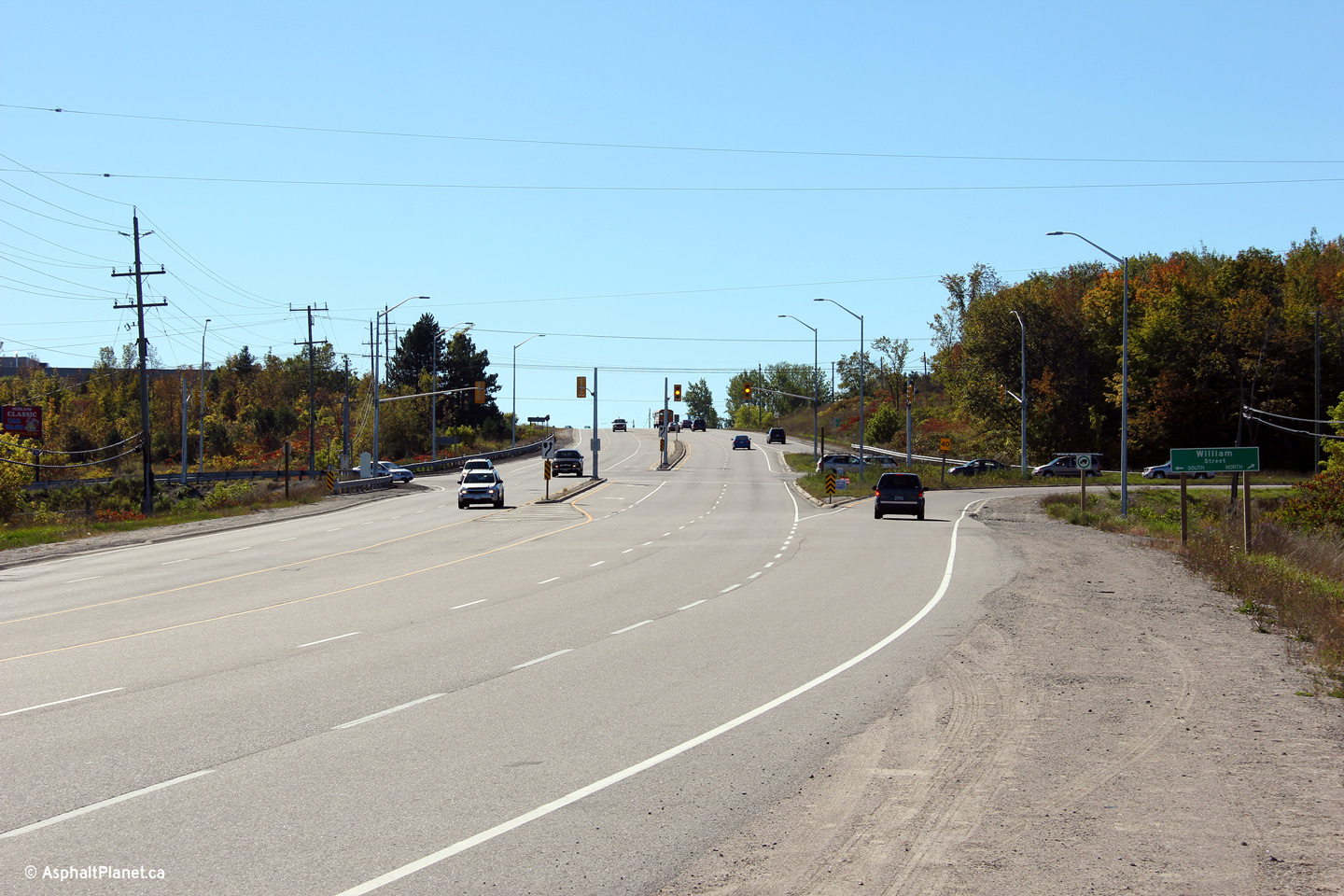
| Town of Midland County of
Simcoe |
This view looks westerly along Highway 12
approaching the William Street intersection south of Midland.
Photo taken: September 27th, 2013. |
(720x480)
(1440x960)
(2400x1600) |
| Town of Midland County of
Simcoe |
View looking easterly towards the William Street
intersection.
Photo taken: September 27th, 2013. |
(720x480)
(1440x960)
(2400x1600) |
| Town of Midland County of
Simcoe |
This reassurance signage stands just west of the
William Street intersection in Midland.
Photo taken: September 27th, 2013. |
 (720x480) (720x480)
(1440x960) |
| Town of Midland County of
Simcoe |
Easterly view from about 1km east of the Highway
93 intersection.
Photo taken: September 27th, 2013. |
(720x480)
(1440x960)
(2400x1600) |
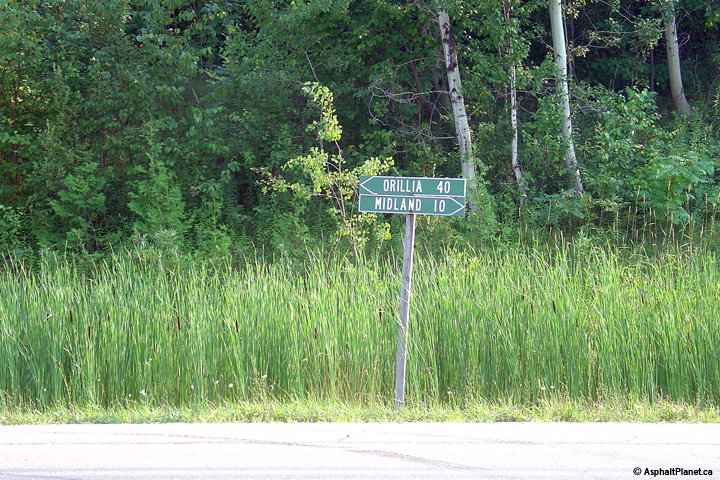
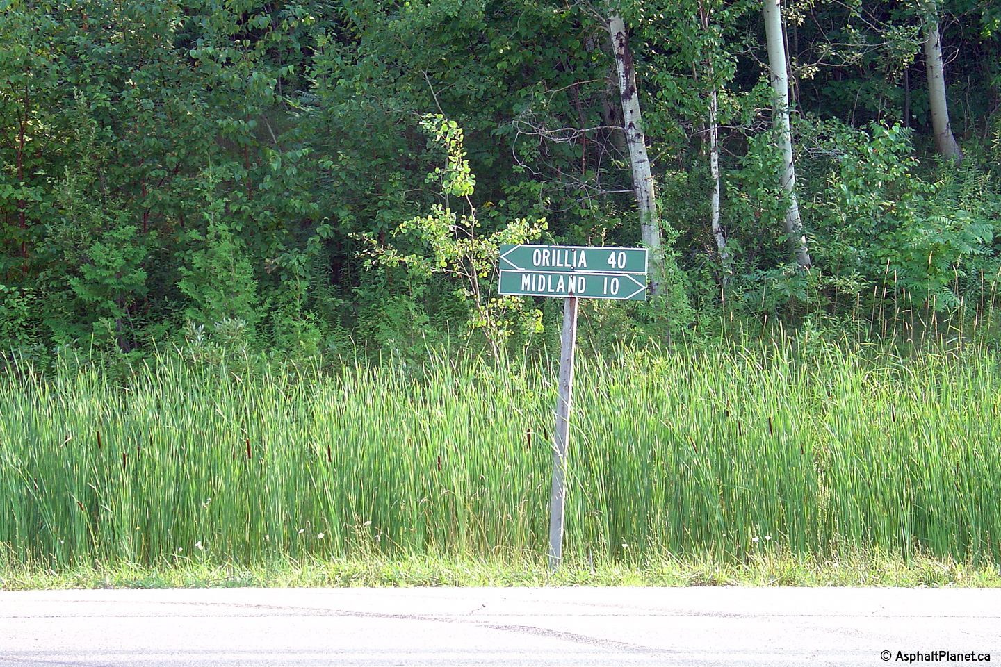
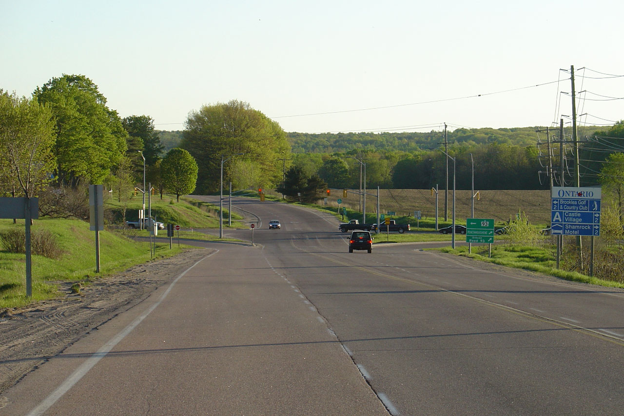
| Town of Midland County of
Simcoe |
This Photo showcases the western terminus of
Highway 12 at the Highway 93 junction south
of Penetanguishene. Highway 12 now shares a common terminus with
Highway 93 as the portion of
Highway 93 that formerly led north of this
intersection into Penetanguishene was decommissioned in 1998. Click
here for an additional photo of the
western terminus of Highway 12, taken in May, 2005.
Photo taken: August 24th, 2014. |
(720x480)
(1440x960)
(2400x1600)
(720x480)
(1440x960)
(2400x1600) |
| Town of Midland County of
Simcoe |
Junction assembly denoting the western terminus
of Highway 12 at Highway 93. At this
junction the largely unmarked Lake Huron Circle Tour turns from Highway 12
onto Highway 93. Photo size: 30kb. |
|
|
Highway 12 ends at Highway 93.
Highway 93 southerly from Penetanguishene.
Click here for Highway 93 images. |
 (720x480)
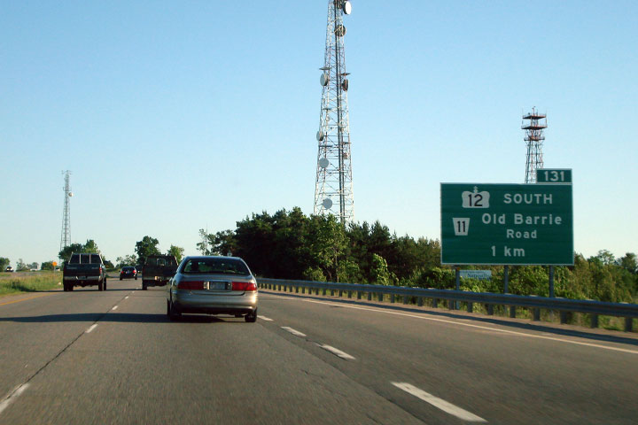
 (720x480)


 (720x480)


 (720x480)
 (720x480)
 (720x480)
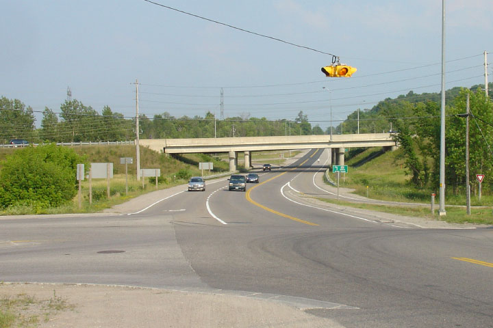


 (720x480)
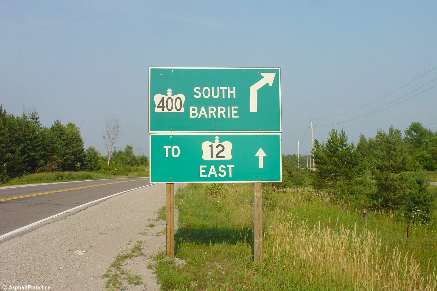


 (720x480)
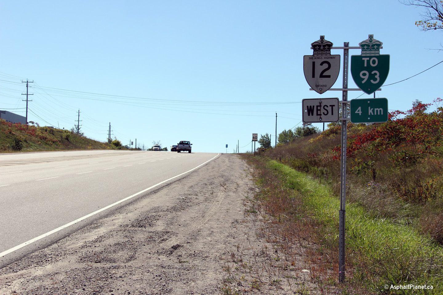


