AsphaltPlanet.ca > OntHighways >
Highway 11 > Images
> Page 3E
King's Highway 11 - Images
<- Page 3D Page 3E - Kenogami Lake to Cochrane Page 3F->
Photos shown in this table are arranged from South to North:
| Proper Municipality Name | Photo Description | Photo | |
|
Photos taken from driver's perspective appear offset from centre-line Photos: |
North- Bound |
South- Bound |
|
| Highway 11 Photos continue from Page 3D | |||
| Highway 66 traverses Northeastern Ontario from Matachewan to the Quebec Border. Click here for Highway 66 images. | |||
| District of Timiskaming |
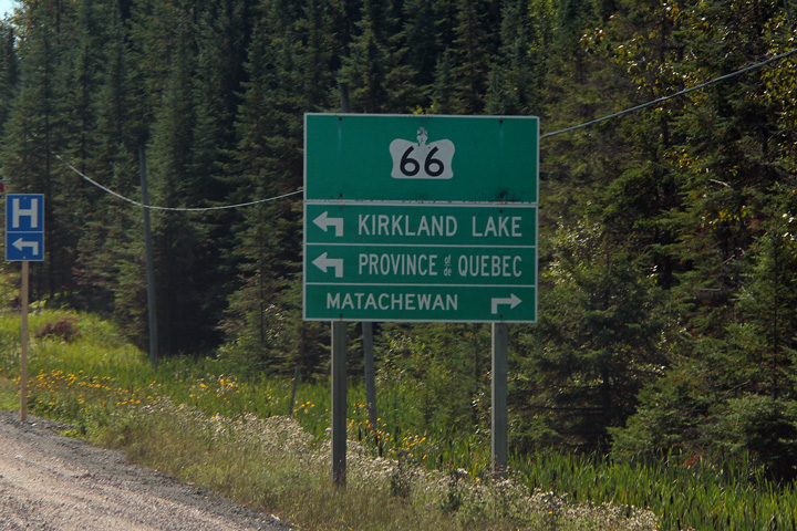
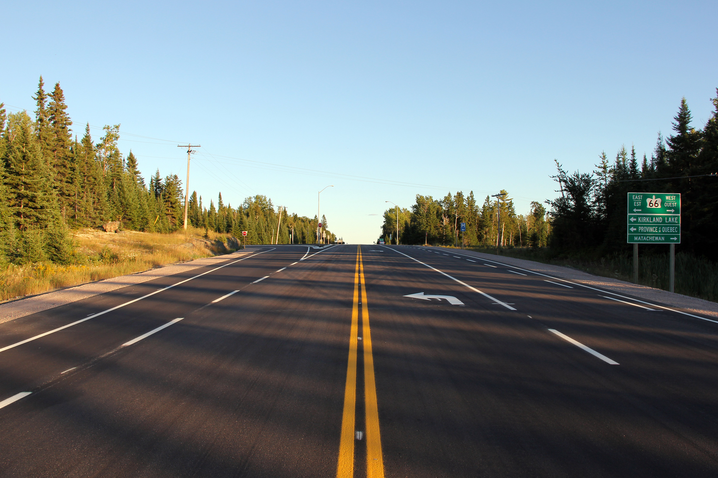
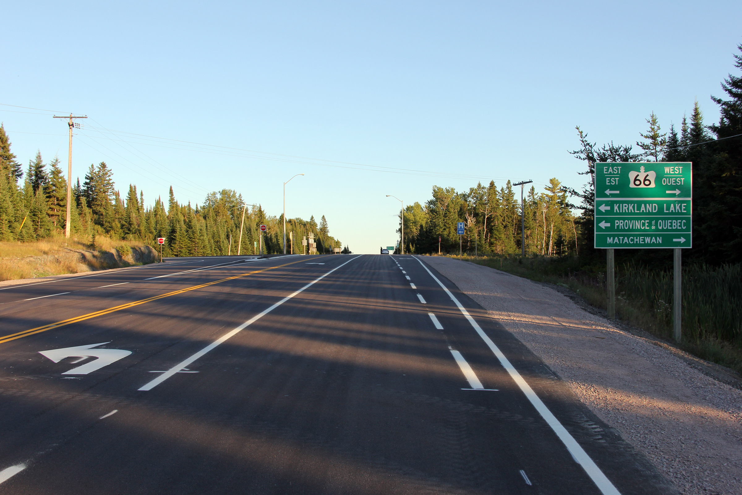
Views looking southerly approaching the Highway 66 junction. Though it
is not indicated on the signage, east of Highway 11, Highway 66 is the Kirkland Lake Route of
the Trans-Canada Highway, linking Ontario's Trans-Canada Highway 11 to Quebec's
Trans-Canada Highway 117. Photos taken: August 27th, 2011. |

(720x480)
(1440x960)
(2400x1600)
|
|
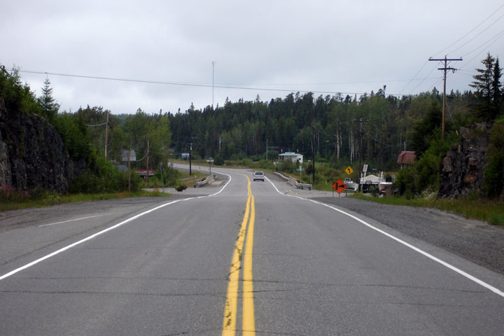
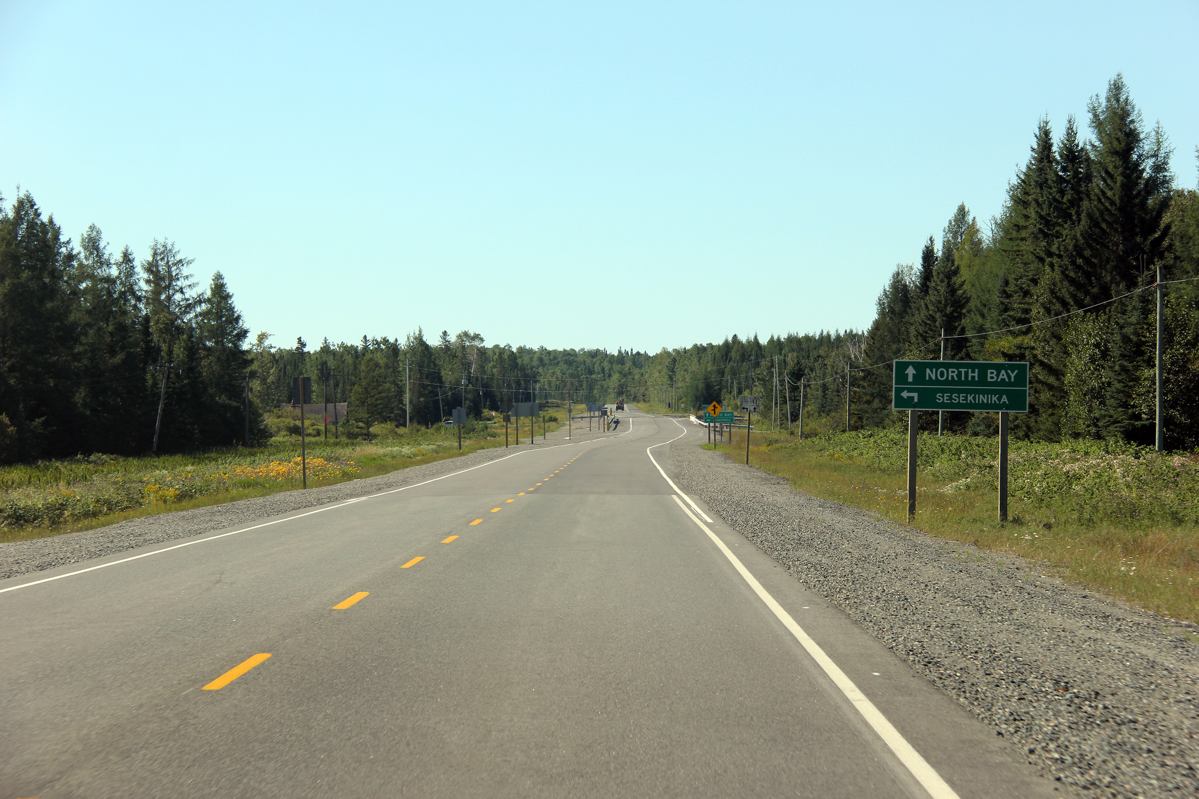
| District of Timiskaming |
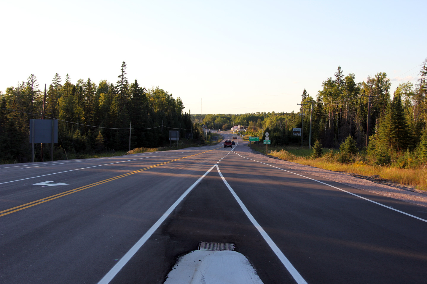
This view looks northerly as the ramp from Highway 66 West joins Highway 11
North. Photo taken: August 26th, 2011. |
 |
|
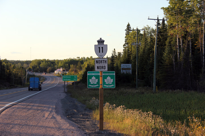
| District of Timiskaming |
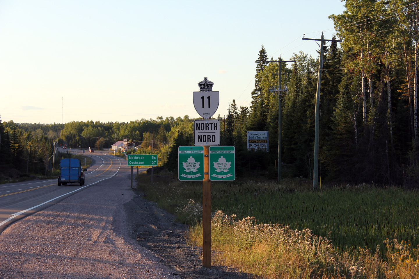
Northbound reassurance signage for Highway 11 immediately north of the
Highway 66 junction. Photo taken: August 26th, 2011. |
 (720x480) (720x480)(1440x960) |
|
| District of Timiskaming |
Southbound green signage in advance of the Highway 66 intersection. Photo taken: August 26th, 2011. |
 (720x480) (720x480)(1440x960) |
|
| District of Timiskaming |
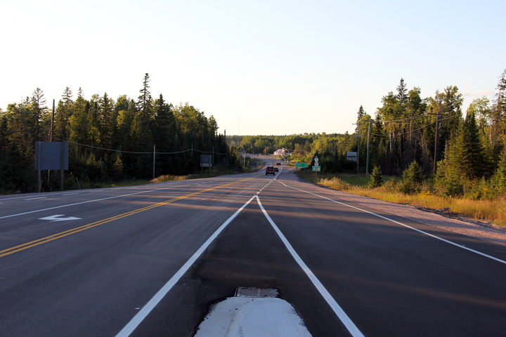
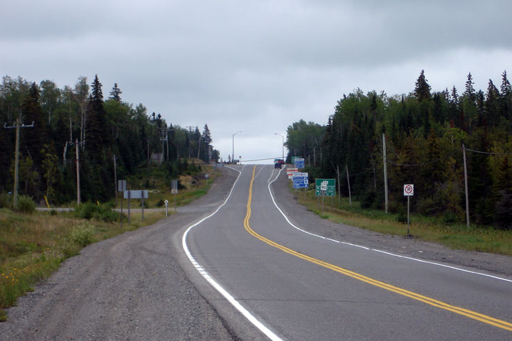
This view looks southerly towards the Highway 66 junction, pictured at the
top of the hill. Photo taken: August 26th, 2006. |
 |
|
| District of Timiskaming |
Northerly view along Highway 11 from the Highway 568 junction. Photo taken: August 26th, 2006. |
 |
|
| District of Timiskaming |
Southbound view as Highway 11 intercepts the southern access road to
Sesekinika Lake. The pictured northbound passing lane was added to
this section of Highway 11 during a 2010 construction project. Photo taken: August 26th, 2011. |
 |
|
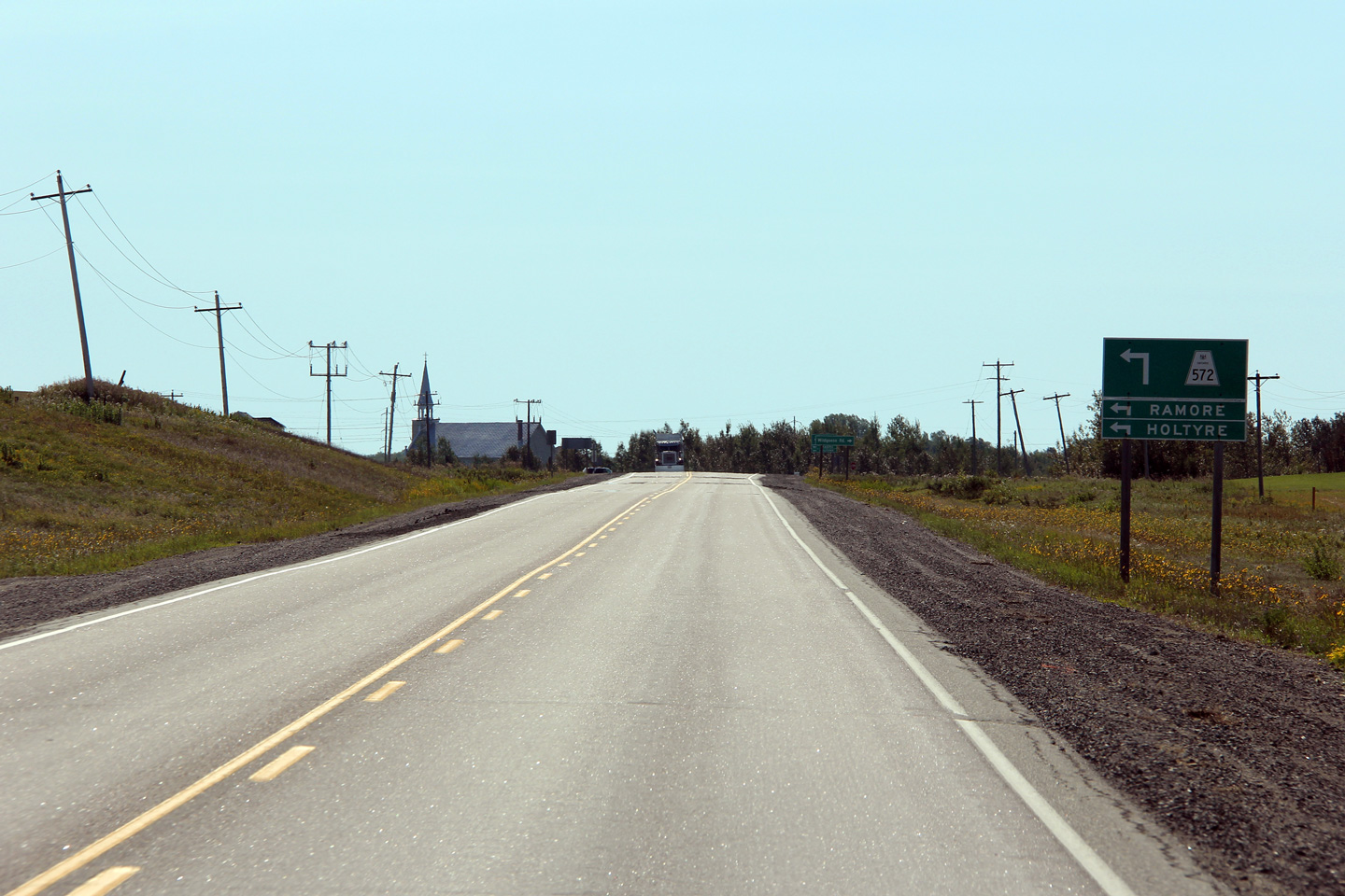
| District of Timiskaming |
Southerly view at the Highway 570 junction. The Blanche River bridge was
replaced as part of a recent reconstruction project where the pre-existing
timber structure was replaced with a new concrete bridge on a new alignment. Photo taken: August 26th, 2011. |
 |
|
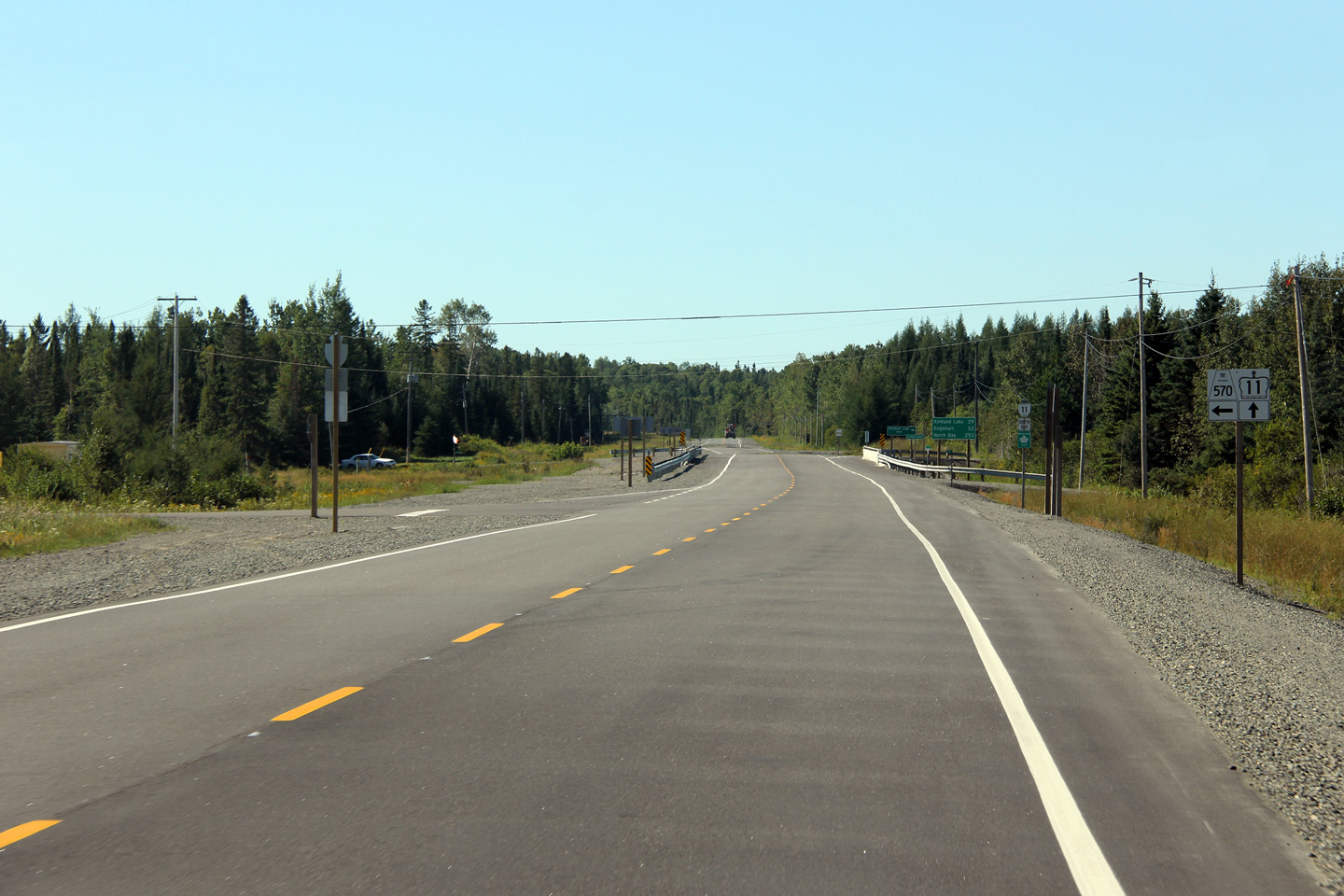
| District of Timiskaming |
Southerly view approaching the Highway 570 junction along Highway 11. Photo taken: August 26th, 2011. |
 |
|
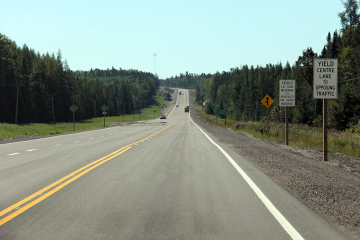
| District of Timiskaming |
Southerly view along Highway 11 approximately 15km south of the Highway 672
junction. Photo taken: August 26th, 2011. |
 |
|
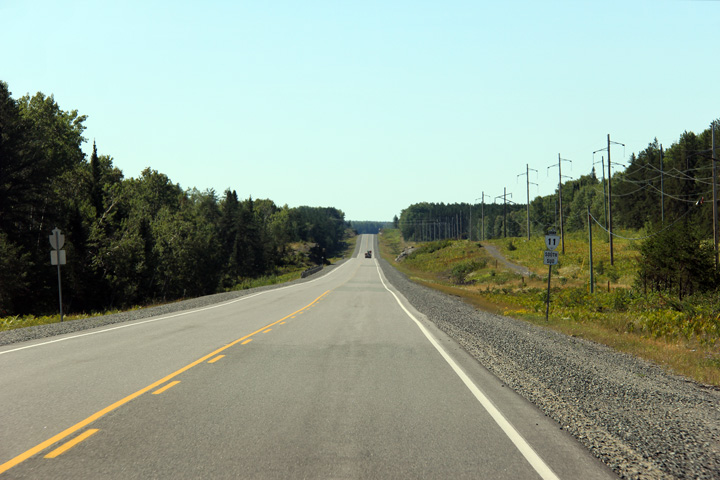
| Township of Black-River Matheson District of Timiskaming |
Southerly view along Highway 11 approaching the Highway 672 junction. Photo taken: August 26th, 2011. |
 |
|
| Highway 101 stretches across the northeastern part of Ontario, from Quebec to Highway 17 at Wawa. Click here for Highway 101-East images | |||
| Highway 11 Images continue northwards on Page 3F | |||
<- Page 3D Images Highway 11 Images Index Page 3F Images ->
<- Highway 10 Images Back to Highway 11 Highway 11A Images ->
Copyright (c) 2004-2015, AsphaltPlanet.ca AsphaltPlanet@asphaltplanet.ca
