AsphaltPlanet.ca > OntHighways >
Highway 11 > Images
> Page 3D
King's Highway 11 - Images
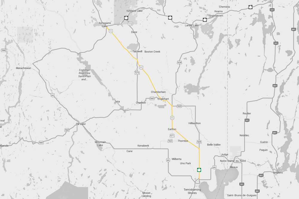
<- Page 3C Page 3D - New Liskeard to Kenogami Lake Page 3E->
Photos shown in this table are arranged from South to North:
| Proper Municipality Name | Photo Description | Photo | |
|
Photos taken from driver's perspective appear offset from centre-line Photos: |
North- Bound |
South- Bound |
|
| Highway 11 Photos continue from Page 3C | |||
| Highway 65 begins at Highway 66 east of Matachewan and continues easterly to the Quebec border via New Liskeard. Click here for Highway 65 images | |||
| Township of Armstrong District of Timiskaming |
This view looks southerly from the ONR crossing at Earlton. Photo taken: September 21st, 2015. |
||
| Township of Armstrong District of Timiskaming |
This view looks northerly as Highway 11 passes overtop of the ONR structure
at Earlton. Photo taken: September 21st, 2015. |
||
| Township of Armstrong District of Timiskaming |
This view looks northwesterly towards the ONR crossing at Earlton just as an
ONR train was passing by. Photo taken: September 21st, 2015. |
 |
|
| Township of Armstrong District of Timiskaming |
This view looking northwesterly towards the ONR crossing at Earlton. Photo taken: September 21st, 2015. |
||
| Township of Armstrong District of Timiskaming |
Northerly view approaching the Highway 571 intersection. Photo taken: September 21st, 2015. |
||
| Township of Armstrong District of Timiskaming |
Southbound signage at the Highway 571 intersection. Photo taken: September 21st, 2015. |
 |
|
| Township of Armstrong District of Timiskaming |
Southbound signage in advance of the Highway 571 intersection to Earlton. Photo taken: September 21st, 2015. |
 |
|
| Township of Evanturel District of Timiskaming |
Southerly view approaching the Highway 579/624 junction along Highway 11. Photo taken: September 21st, 2015. |
 (720x480) (1440x960) (2400x1600) |
|
| Township of Evanturel District of Timiskaming |
Distance sign situated just north of the Highway 579/624 junction. Photo taken: September 21st, 2015. |
 (720x480) (1440x960) (2400x1600) |
|
| Town of Englehart District of Timiskaming |
View looking southerly as Highway 11 passes overtop of the Englehart River.
This bridge was rehabilitated several years ago. Photo taken: August 26th, 2011. |
 (720x480) (1440x960) (2400x1600) |
|
| Town of Englehart District of Timiskaming |
View looking southerly as Highway 11 passes through Englehart approaching
the Highway 560 junction. The large Georgia Pacific OSB plant is
spewing air emissions into the atmosphere adjacent to the highway. Photo taken: August 26th, 2011. |
 (720x480) (1440x960) (2400x1600) |
|
| District of Timiskaming |
Signage at the Highway 112 intersection. Photo taken: September 21st, 2015. |
 (720x480) (1440x960) (2400x1600) |
|
| District of Timiskaming |
Southbound advanced signage for the Highway 112 intersection. Photo taken: September 21st, 2015. |
 (720x480) (1440x960) (2400x1600) |
|
| District of Timiskaming |
Scenic evening view of Highway 11, looking southerly, from several
kilometres south of the Highway 66 junction. Photo taken: August 27th, 2011. |
 |
|
| District of Timiskaming |
View looking southerly along Highway 11 from just south
of the Highway 66 junction. Photo taken: August 27th, 2011. |
||
| District of Timiskaming |
This view looks northerly as the ramp from Highway 66 West joins Highway 11
North. Photo taken: August 26th, 2011. |
||
| Highway 66 traverses Northeastern Ontario from Matachewan to the Quebec Border. Click here for Highway 66 images. | |||
| Highway 11 Images continue northwards on Page 3E | |||
<- Page 3C Images Highway 11 Images Index Page 3E Images ->
<- Highway 10 Images Back to Highway 11 Highway 11A Images ->
Copyright (c) 2004-2016, AsphaltPlanet.ca AsphaltPlanet@asphaltplanet.ca