King's Highway 17 - Images
<- Page 1A
Page 1B - Vermillion Bay to
Highway 72
Page 1C ->
Photos shown in this table are arranged from West to East:
|
Proper Municipality Name |
Photo Description |
Photo |
|
Pictures taken
from driver's perspective appear offset from centre-line pictures: |
East-
bound |
West-
bound |
|
Continued from
Manitoba to Vermilion Bay Images |
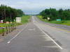
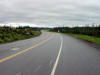
| District of Kenora |
Looking east along Highway 17 from the western
junction of Highway 594 west of Dryden. Dryden is a large town by
northern standards, and is also the only truly full service community
between Kenora and Thunder Bay on Highway 17.
Picture taken: July 13th,
2004. Size: 50kb |
 |
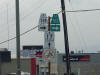
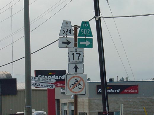
| City of Dryden |
Junction assembly for the eastern Highway 594
junction in Downtown Dryden. Highway 594 is a short loop highway that
leads traffic south from Dryden to Highway 502 and Eagle River. Click
here for Highway 594 images. (Coming Soon!)
Picture size: 30kb. |
 |
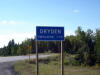
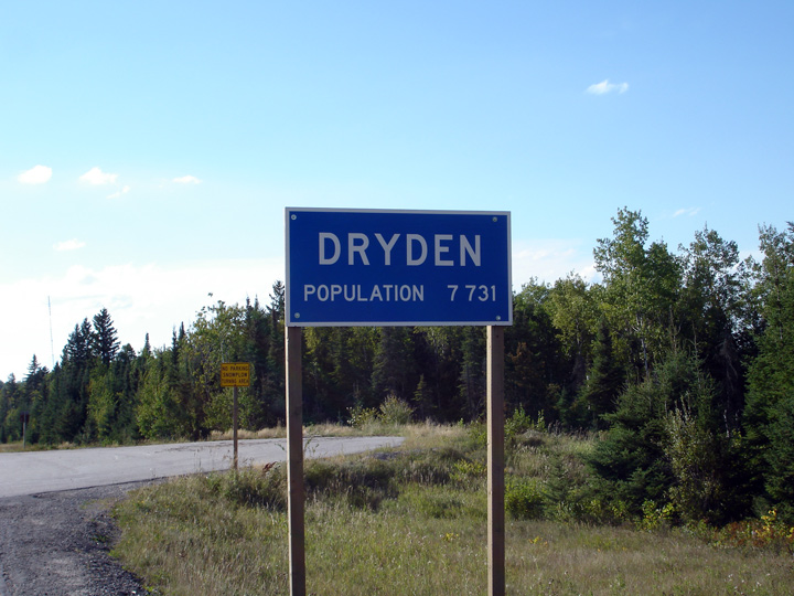
| City of Dryden |
The population indicated on signage advising
motorists of the City Limits of Dryden is somewhat specific. Dryden is
Ontario's smallest city.
Photo taken: August 31st, 2006. |
 |
| City of Dryden |
This view looks easterly from just east of
Dryden's City Limit.
Photo taken: August 31st, 2006. |
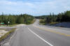
Low-res
High-res |
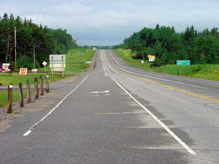
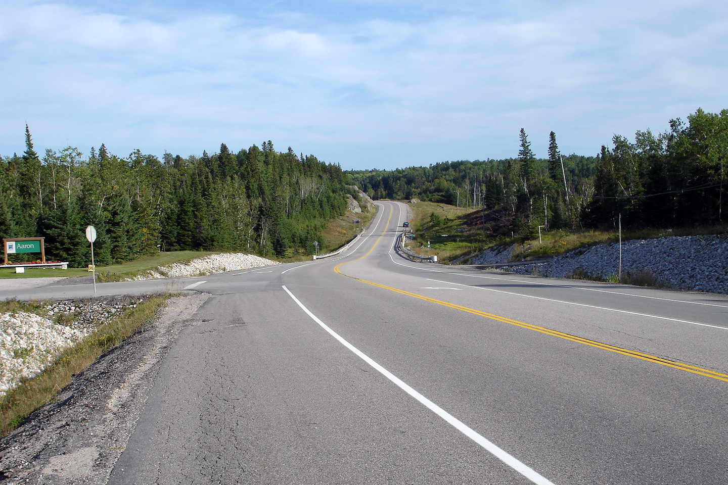
| District of Kenora |
This photo shows Highway 17 looking west from
Highway 72 on a dreary July morning. Picture taken: July 13th, 2004.
Size: 60kb. |
|
|
Continue easterly on Highway 17 via
Page 1C |
<- Page 1A Images
Highway 17 Images Index
Page 1C Images ->
<- Highway 16 Images
Back to Highway 17
Highway 17A Images ->
www.OntHighways.com - Home
Copyright (c) 2004-2012, Scott Steeves (Webmaster)
scott@asphaltplanet.ca

