Photo
Pictures taken from driver's perspective appear offset from centre-line pictures:
bound
bound
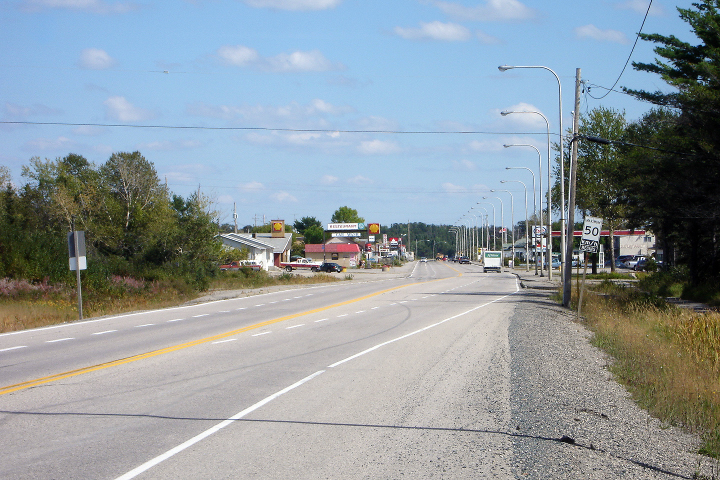
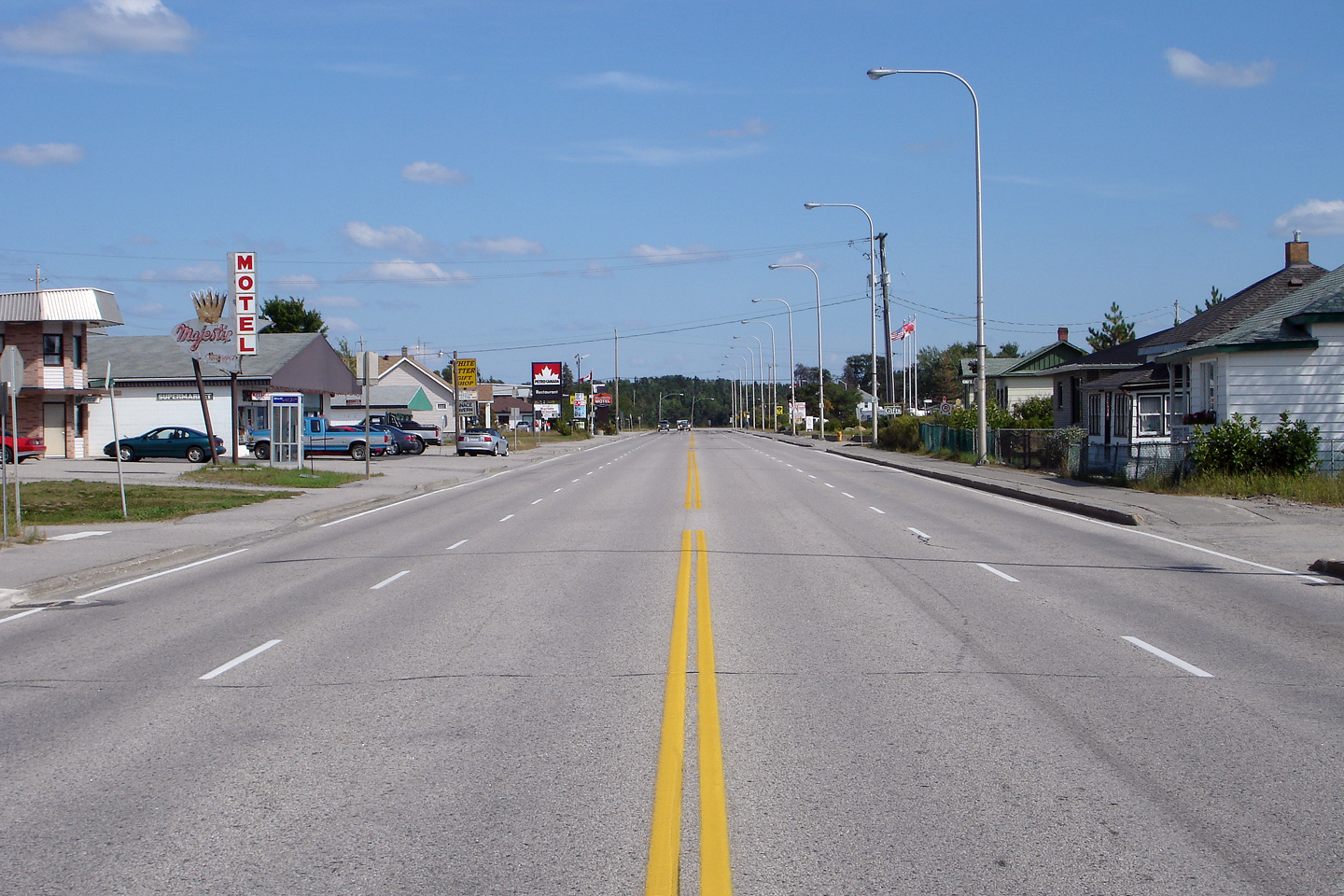
Photo taken: August 31st, 2006.

District of Kenora
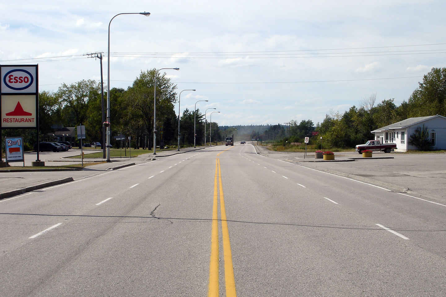
Photo taken: August 31st, 2006.

District of Kenora
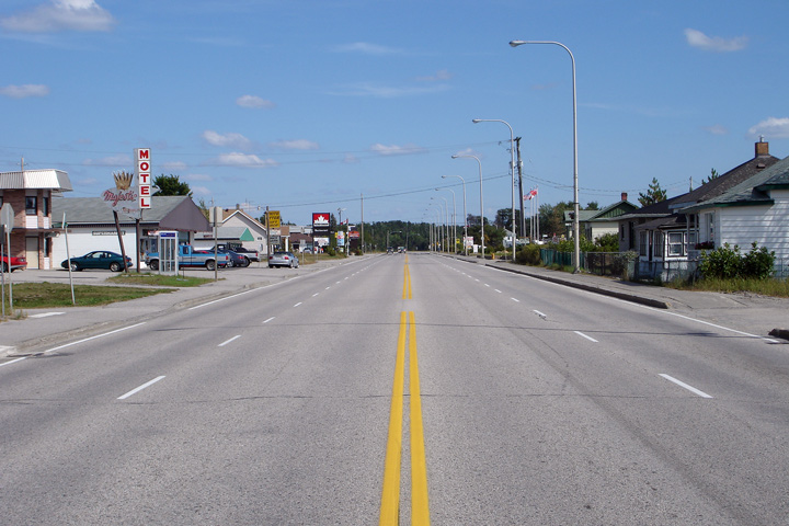
Photo taken: August 31st, 2006.

District of Kenora
Photo taken: August 31st, 2006.
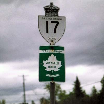
A Highway 17/Trans-Canada Highway shield assembly located eastbound near Ignace. Note, that the Trans-Canada Highway shield denotes Highway 17 as the 'Voyageur Route'. This is erroneous, Highway 17 has never been part of the Voyageur Route. In fact the Voyageur Route is no longer a posted Trans-Canada Highway route; this sign may very well be the last Voyageur Route, Trans Canada Highway sign left in the province.
Picture courtesy: Averill Hecht. Size: 15kb.