|
Proper Municipality Name |
Photo Description |
Photo |
|
Pictures taken
from driver's perspective appear offset from centre-line pictures: |
East-
Bound |
West-
Bound |
| City of Thorold Regional
Municipality of Niagara |
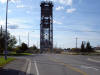
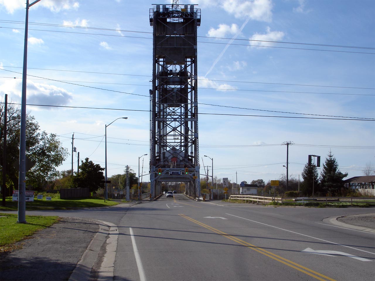
View looking west across the Welland Canal Lift bridge along Highway 20/58.
For more information about this interesting lift bridge, please visit
Nathan
Holth's Historic Bridge website. Picture taken: October 15th, 2006.
Low-res: 50kb. High-res: 170kb. |
Low Res
High Res |
| City of Thorold Regional
Municipality of Niagara |
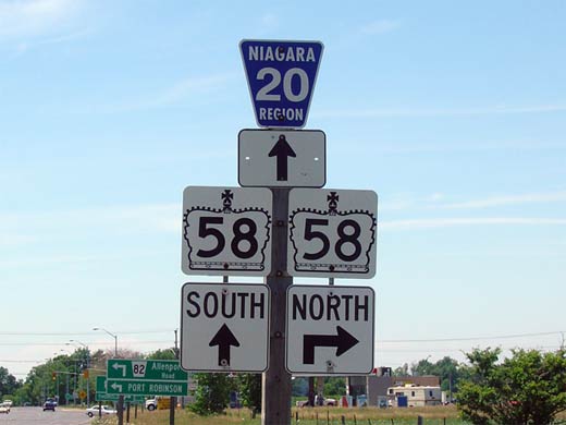
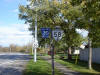
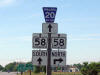
Shield assembly located just east of the Allenburg Bridge.
Surprisingly when Highway 20 was downloaded to the Region of Niagara in
1998, sporadic Highway 58 signage was left in place. Picture taken:
October 15th, 2006. Size: 95kb. |
 |
| City of Thorold Regional
Municipality of Niagara |
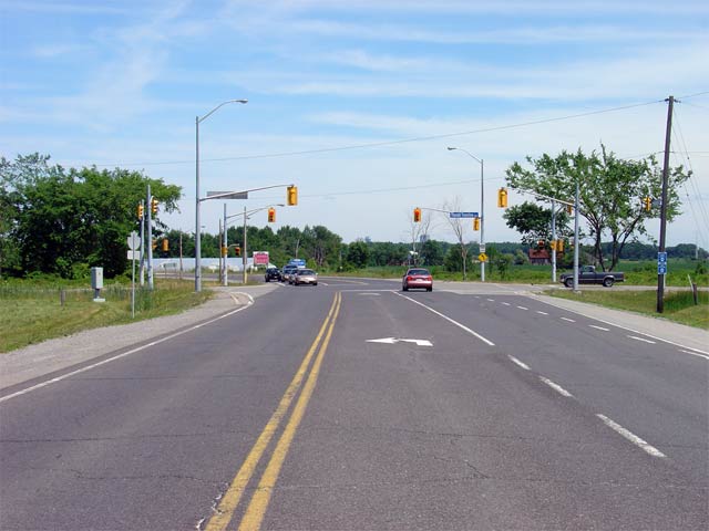
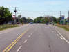
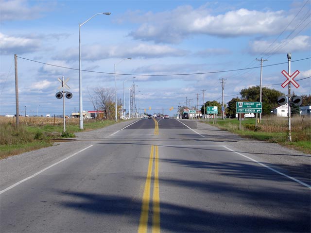
View looking easterly towards the eastern Highway 58 junction south of
Allenburg. Picture taken: October 15th, 2006. Low-res: 50kb.
High-res: 170kb. |

Low Res
High Res |
| City of Thorold Regional
Municipality of Niagara |
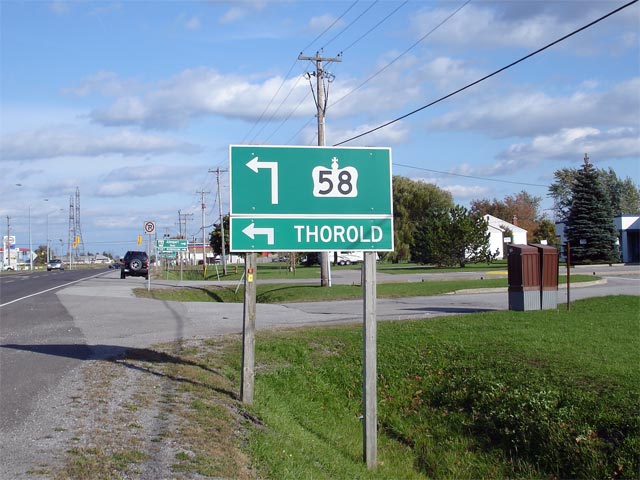
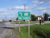
Green advanced signage denoting the Highway 58 junction. Highway 58
departs Highway 20 here, heading north around Allenburg before crossing the
Welland Canal once again to meet Highway 406. Picture taken: October 15th,
2006. Size: 65kb. |
 |
|
North of Highway 20, Highway 58 continues through
Thorold, crosses the Welland Canal and ends at Highway 406.
Click here for Highway 58 images. |
| City of Thorold Regional
Municipality of Niagara |
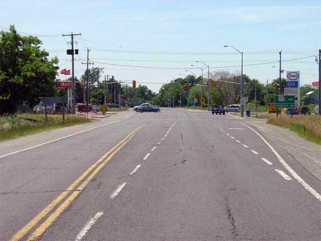
Highway 20 looking west towards the eastern junction with
Highway 58.
Presently, this junction represents the western terminus of Highway 20.
Before downloading, Highway 20 continued much further west leading traffic
to Hamilton.
Picture taken: July 7th, 2005. Size: 45kb. |
 |
| City of Thorold Regional
Municipality of Niagara |
Junction assembly denoting the upcoming Highway 28/58 junction. This
sign is located just east of Highway 58 for westbound motorists.
Contrary to how it is signed, Highway 58 no longer continues westerly
concurrent with Highway 20 (now Niagara Road 20). Sparse signage was left in place to guide travelers between the
now disjointed
segments of Highway 58.
Picture size: 25kb. |
 |
| Thorold - Niagara Falls Boundary
Regional Municipality of Niagara |
Highway 20 looking east towards the Niagara Road 70 intersection.
Currently, Niagara Road 70 (Townline Road) marks the eastern terminus of
Highway 20. Before 1998, Highway 20 continued further east into
Niagara Falls.
Picture taken: July 7th, 2005. Size: 45kb. |
 |

