|
Proper Municipality Name |
Photo Description |
Photo |
|
Photos taken
from driver's perspective appear offset from centre-line pictures: |
East-
Bound |
West-
Bound |
|
Highway 7 is the Central Ontario
Route of the Trans-Canada Highway.
Click here for Highway 7 images. |
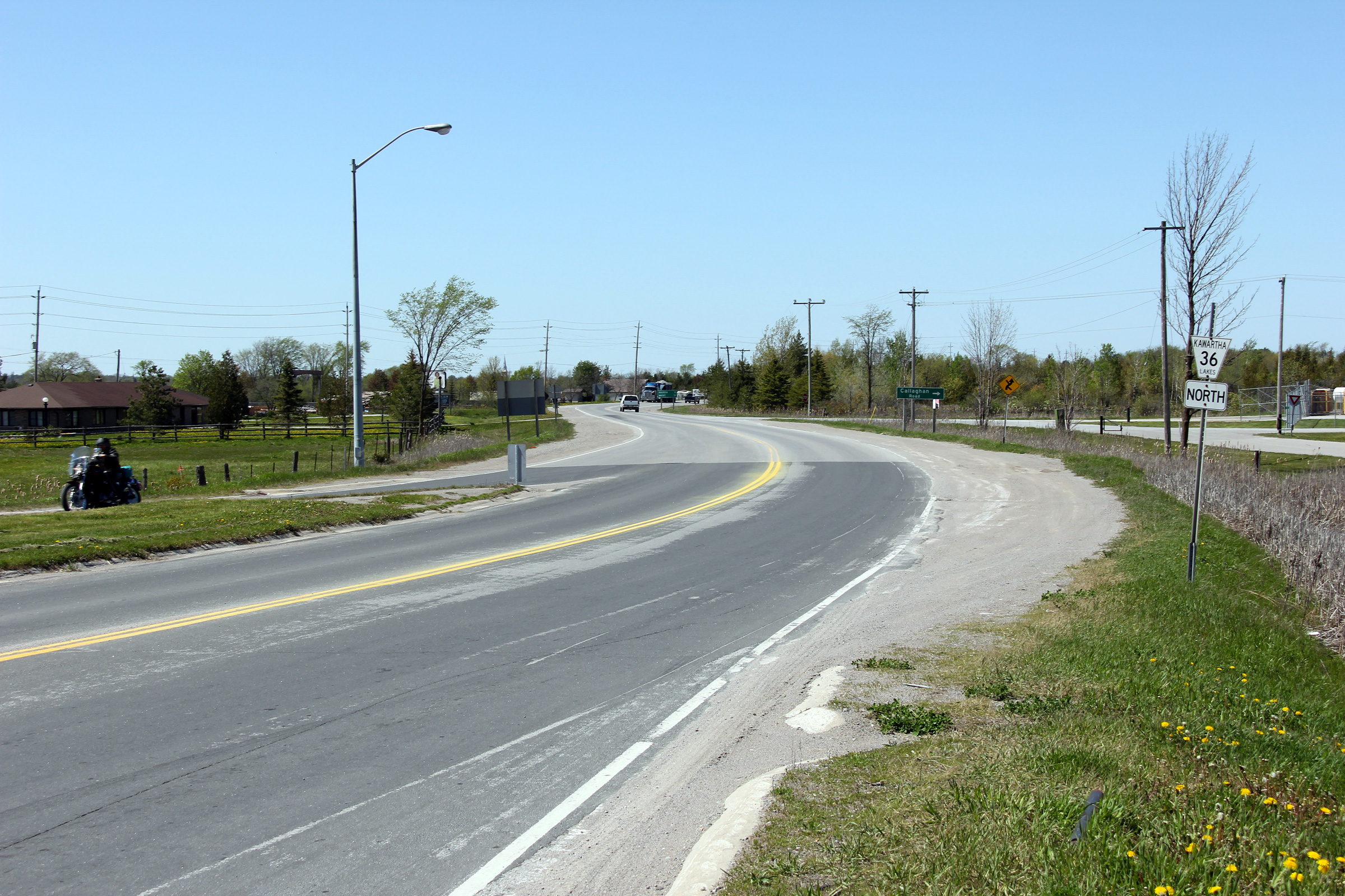
| City of
Kawartha Lakes |
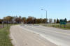
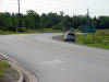
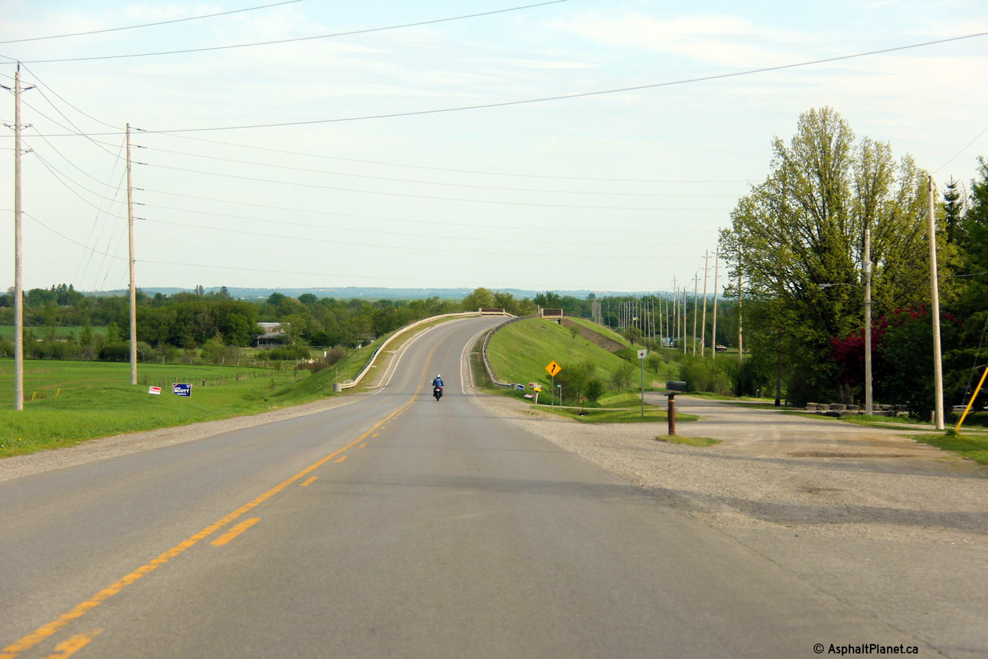
View looking northerly
along the former Highway 36 from the Highway 7 junction to the west of
Lindsay.
Photo taken: May 11th, 2012. |

(720x480)
(1440x960)
(2400x1600) |
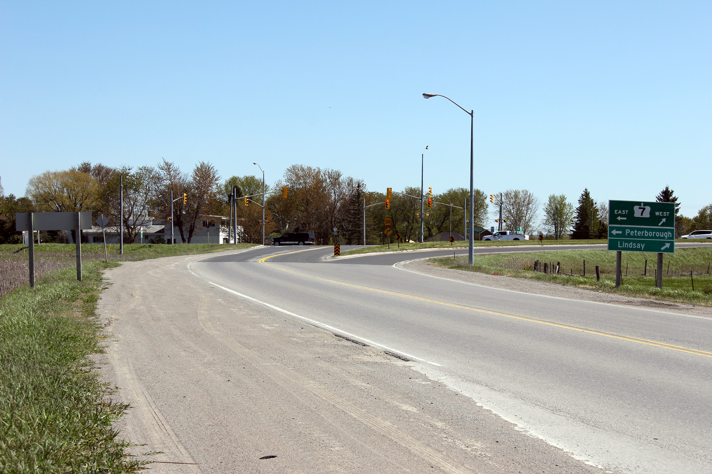
| City of
Kawartha Lakes |
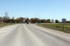
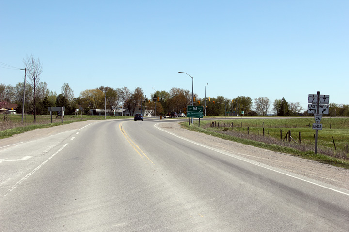
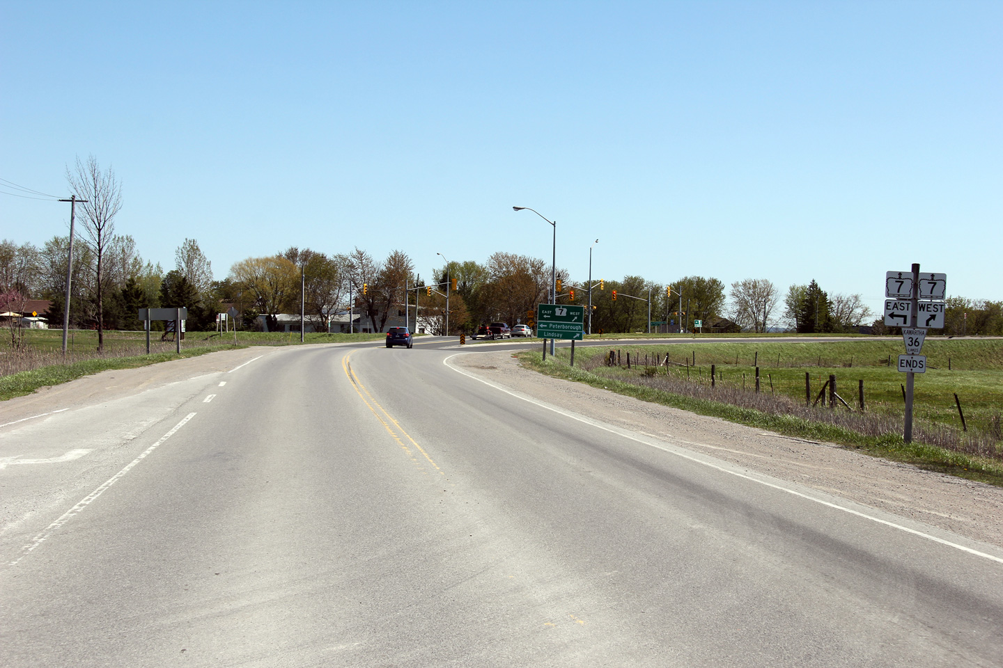
Southerly view approaching
Highway 7 along the former Highway 36. Note the directional signage
for Peterborough and Lindsay. In 2011, MTO began to use lower case
lettering on directional signage in lieu of all-caps.
Photo taken: May 11th, 2012. |
(720x480)
(1440x960)
(2400x1600) |
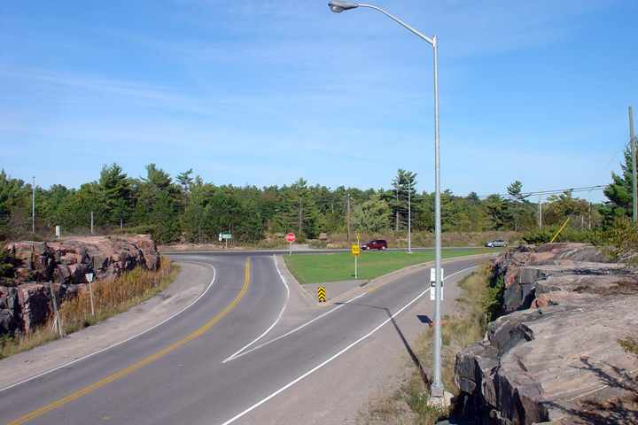
| City of
Kawartha Lakes |
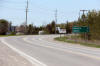
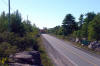
Another southbound view,
this time with the junction assembly.
Photo taken: May 11th, 2012. |
(720x480)
(1440x960)
(2400x1600) |
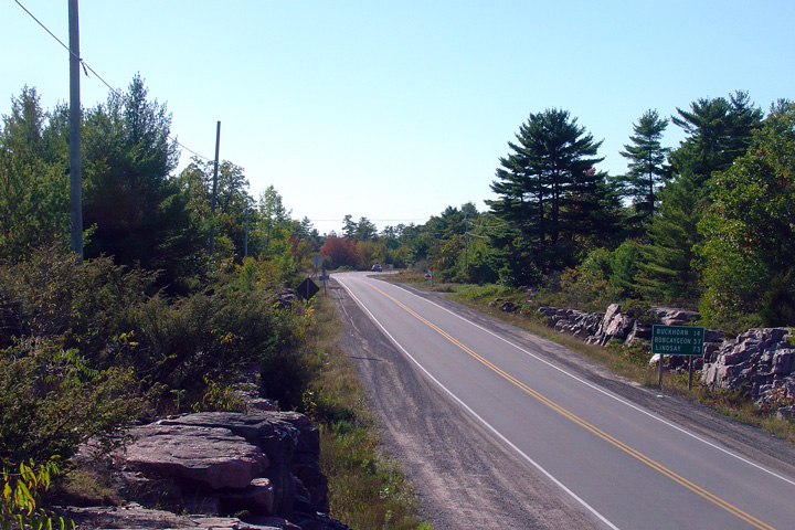
| City of
Kawartha Lakes |
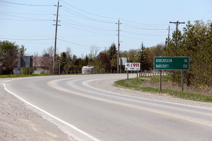
The eastern control city
for Highway 36 is Bancroft. Highway 36 terminates almost 75km
southwest of Bancroft along Highway 28.
Photo taken: May 11th, 2012. |
(720x480)
(1440x960)
(2400x1600) |
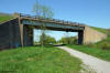
| City of Kawartha Lakes |
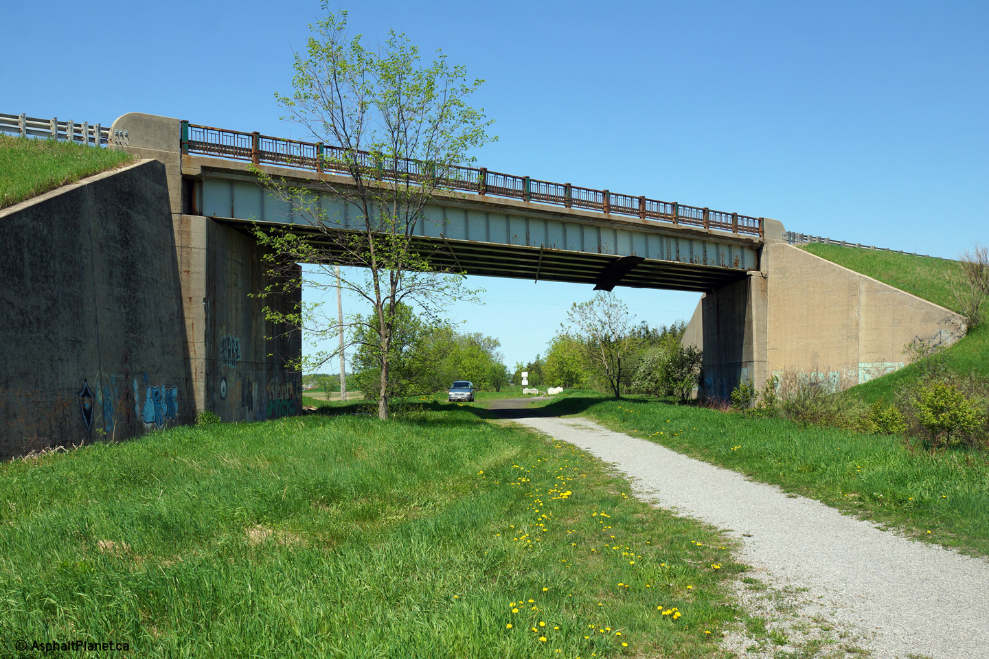
This view looks northerly at the structure that
carries Highway 36 over the recreational trail that formerly linked Lindsay
and Peterborough by railway.
Photo taken: May 25th, 2014. |
(720x480)
(1440x960)
(2400x1600) |
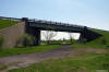
| City of Kawartha Lakes |
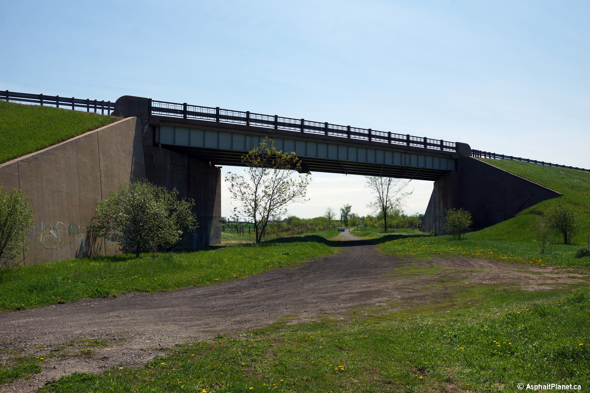
View looking westerly towards the structure that
carries Highway 36 over the former railway grade. This is the longest
of all of Lindsay's grade separations between highways and former railways.
Photo taken: May 25th, 2014. |
(720x480)
(1440x960)
(2400x1600) |
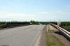
| City of Kawartha Lakes |
Eastern side (looking towards Peterborough) of
the Highway 36 grade separation.
Photo taken: May 25th, 2014. |
(720x480)
(1440x960)
(2400x1600) |
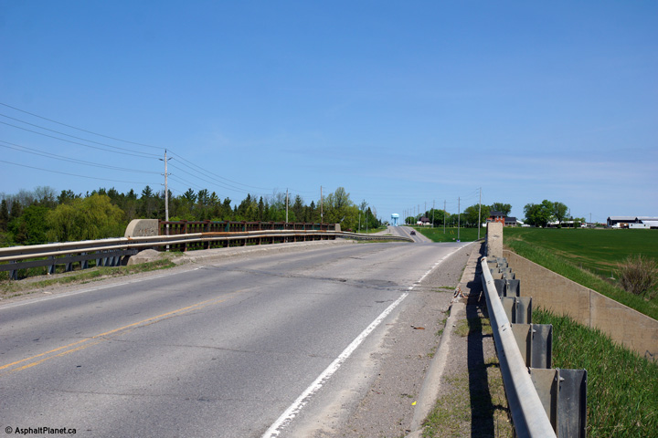
| City of Kawartha Lakes |
Southerly view over the Highway 36 grade
separation.
Photo taken: May 25th, 2014. |
(720x480)
(1440x960)
(2400x1600) |
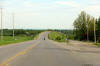
| City of Kawartha Lakes |
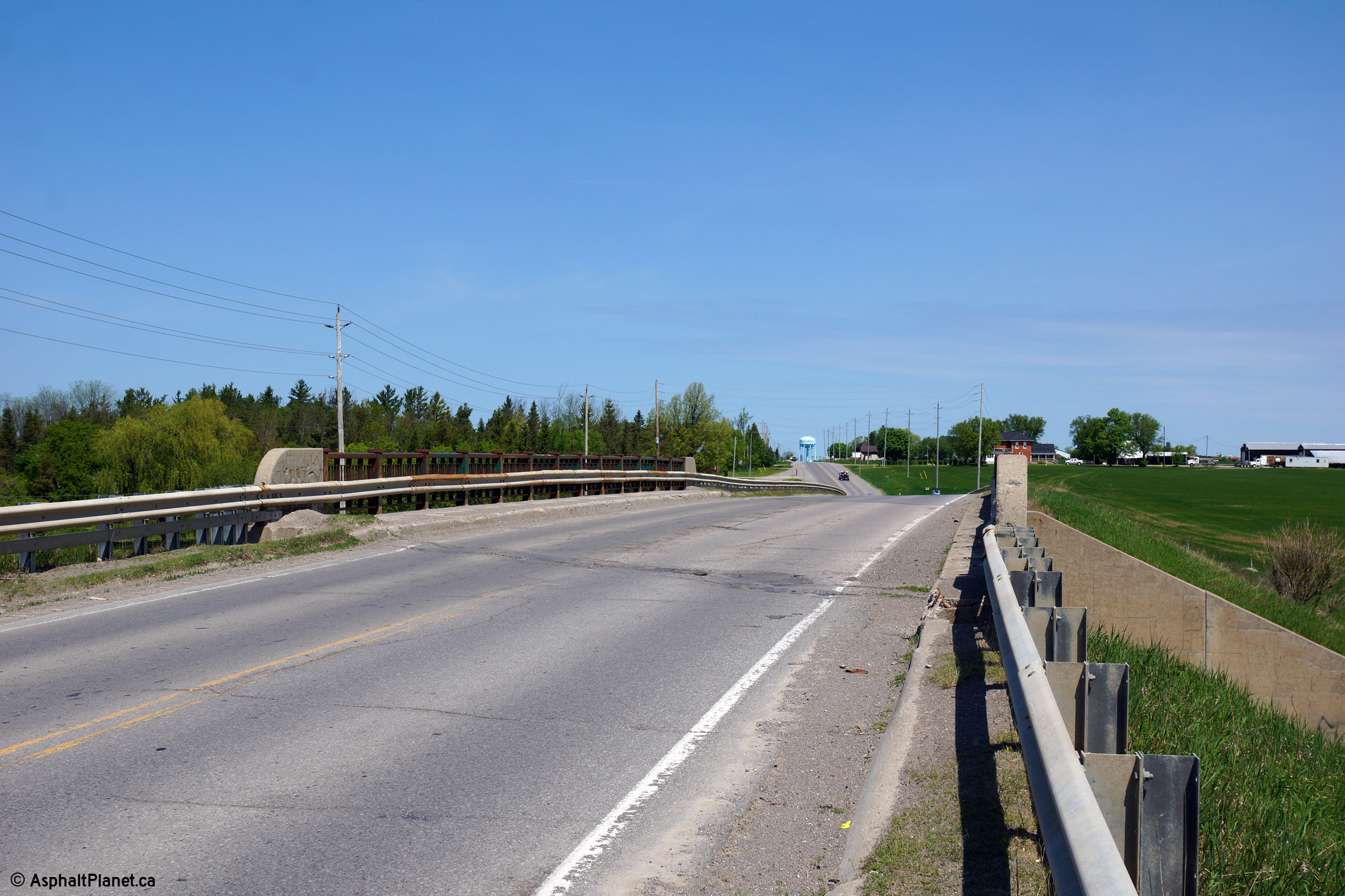
Southerly view approaching the Highway 36
overhead. As is evident from the photo, the Highway 36 overhead was
built on a slightly skewed alignment to the east of the former at-grade
crossing.
Photo taken: May 25th, 2014. |
(720x480)
(1440x960)
(2400x1600) |
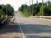
| City of Kawartha Lakes |
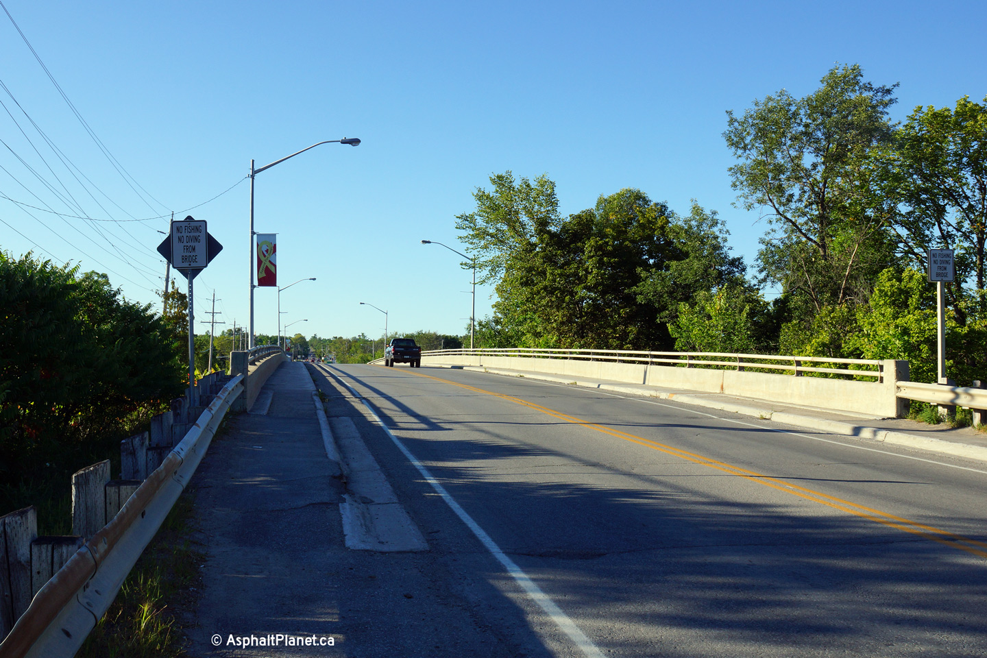
Highway 36 looking south over the Little Bob
Channel in the south end of Bobcaygen. Downtown Bobcaygen is actually
located on an island which is connected to the mainland by two Highway 36
structures.
Photo taken: July 17th, 2004 |
|
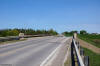
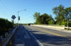
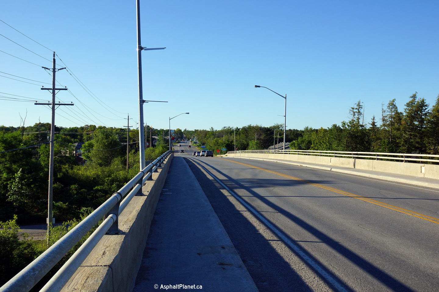
| City of Kawartha Lakes |
Deck view looking northerly across the high
level structure that carries Highway 36 over the Trent Severn Waterway.
Photo taken: August 23rd, 2013. |
(720x480)
(1440x960)
(2400x1600) |
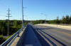
| City of Kawartha Lakes |
View looking northerly from approximately
mid-span of the high-level Trent Severn Waterway bridge.
Photo taken: August 23rd, 2013. |
(720x480)
(1440x960)
(2400x1600) |
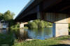
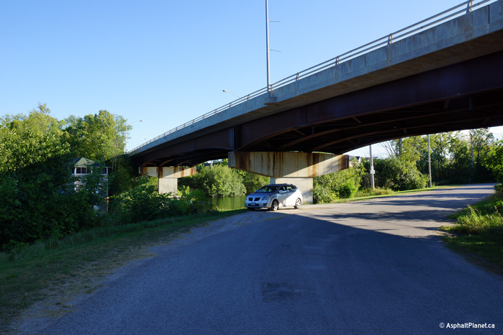
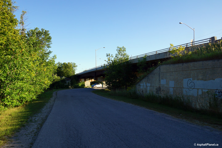
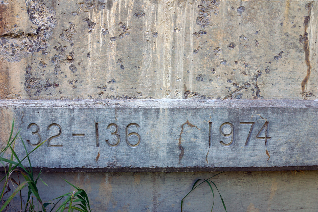
| City of Kawartha Lakes |
Three views looking southerly as Highway 36 passes
overtop of the Little Bob Channel, east of Downtown of Bobcaygeon. The
Trent-Severn Waterway follows Big Bob Channel linking Sturgeon and Pigeon
Lakes. As shown in the lower photos, Front Street, a local waterfront
cottage access road also passes beneath Highway 36 underneath of the Trent
Severn Waterway structure. This structure was completed in
1974.
Photos taken: August 23rd, 2013. |
(720x480)
(1440x960)
(2400x1600)

(720x480)
(1440x960)
(2400x1600)

(720x480)
(1440x960)
(2400x1600) |
|
Highway 36 is multiplexed with Highway 507 from
Flynn's Corners to Buckhorn,
Click here for route information, and here for pictures (Coming Soon) |
|
Township of Galway- Cavendish & Harvey County of Peterborough |
Highway 36/507 looking west and south
respectively. There is absolutely no references left that Highway 36
and 507 were ever multiplexed from Flynns to Buckhorn. In fact,
Peterborough County Road 507 now ends at Flynns, Peterborough County Road 36
runs on its own between Flynns and Buckhorn, and Peterborough has renumbered
Highway 507 from Buckhorn to Highway 28 in Peterborough to Peterborough
County Road 23. Picture taken: July 17th, 2004 |
|
| Township of Galway- Cavendish &
Harvey County of Peterborough |
Westerly view from just
west of the Highway 28 junction.
Photo taken: September 23rd, 2007. |
(720x480)
(1440x960) |
| Township of Galway- Cavendish &
Harvey County of Peterborough |
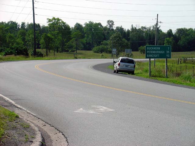
Highway 36 looking easterly at its eastern
terminus junction Highway 28 just to the north of Burleigh Falls.
Photo taken: September 23rd, 2007. |

(720x480)
(1440x960)
|
|
Highway 36 ends at Highway 28
between Peterborough and Bancroft.
Click here for Highway 28 images. |


