AsphaltPlanet.ca > OntHighways >
Highway 401 > Images
> Page 18
King's Highway 401 - Images
<- Page 17 Page 18 - Cornwall to Quebec Border PQ Route 20 ->
Photos shown in this table are arranged from West to East:
| Proper Municipality Name | Photo Description | Photo | |
|
Pictures taken from driver's perspective appear offset from centre-line pictures: |
East- bound |
West- bound |
|
| Continued from Brockville to Cornwall Images | |||
| Highway 138 runs between the Seaway International Bridge and Highway 417. Click here for Highway 138 images. | |||
| City of Cornwall |
Easterly view along Highway 401 approaching the Pitt Road
underpass. The MTO has a fairly wide right-of-way through Cornwall,
though you wouldn't know it from the sound barriers. Sound barriers
are most effective at mitigating noise when they are placed close to the
origin of the noise. Photo taken: July 23rd, 2011. |
 (720x480) (720x480)(1440x960) (2400x1600) |
|
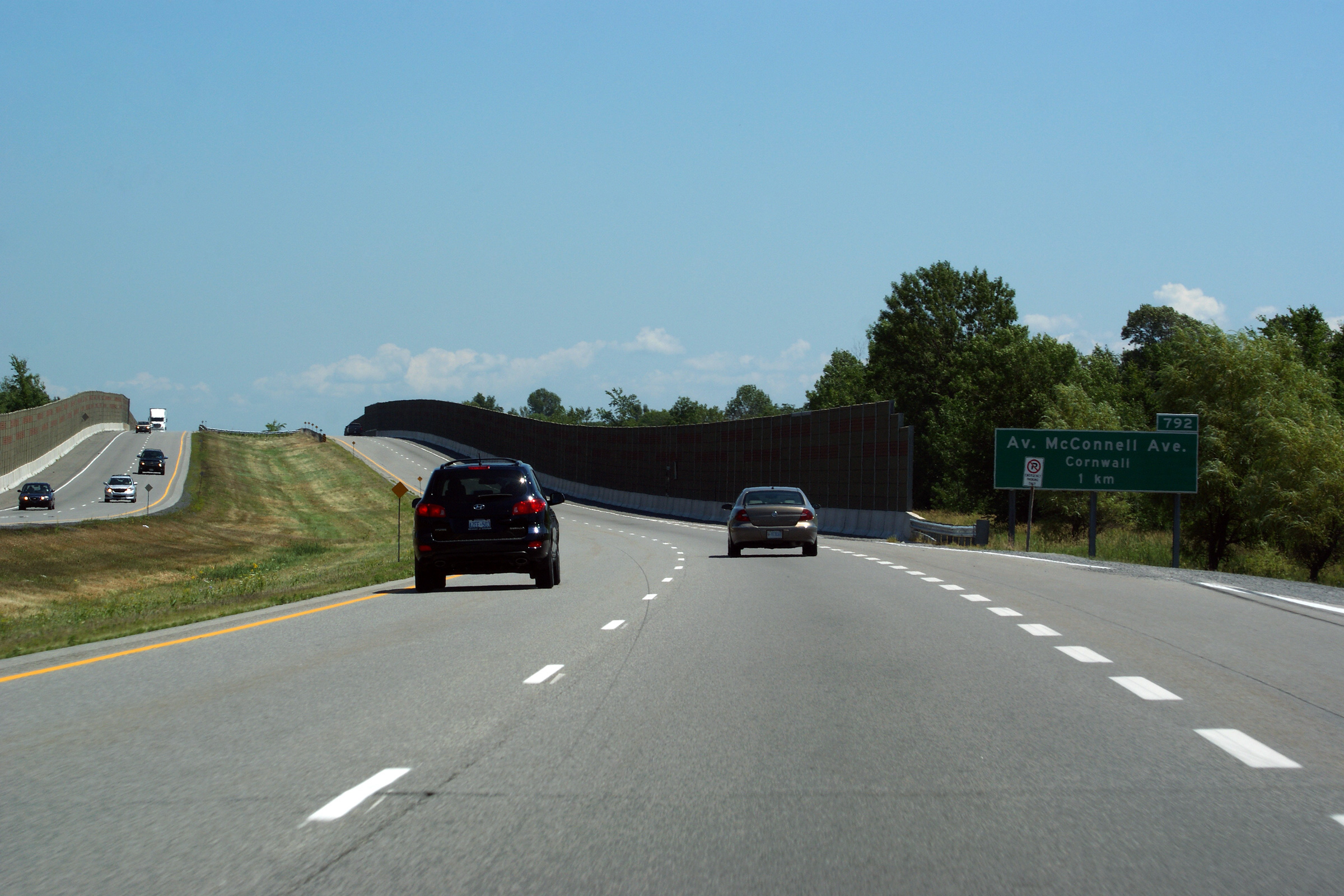
| City of Cornwall |
Easterly view at the off-ramp to McConnell Avenue. Photo taken: March 31st, 2014. |
 (720x480) (720x480)(1440x960) (2400x1600) |
|
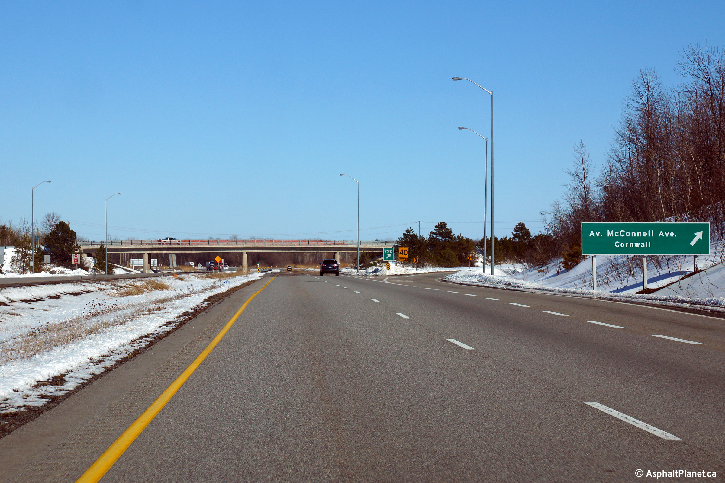
| City of Cornwall |
This view looks westerly towards the Highway 138 interchange from the
McConnell Avenue overpass. Photo taken: March 31st, 2014. |
 |
|
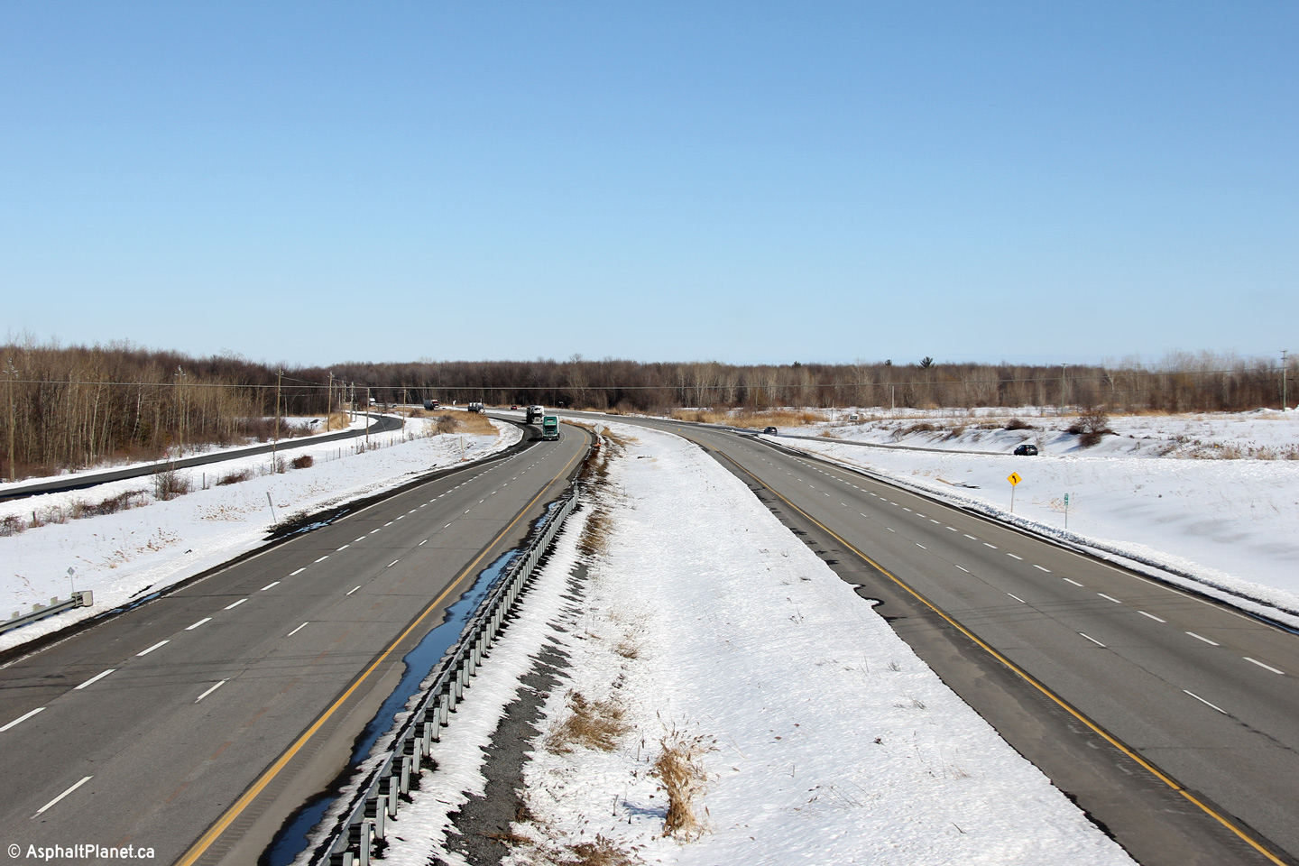
| City of Cornwall |
Easterly view from the McConnell Avenue overpass. Photo taken: March 31st, 2014. |
 |
|
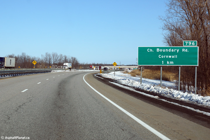
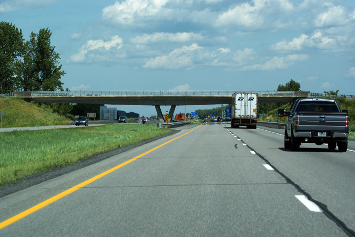
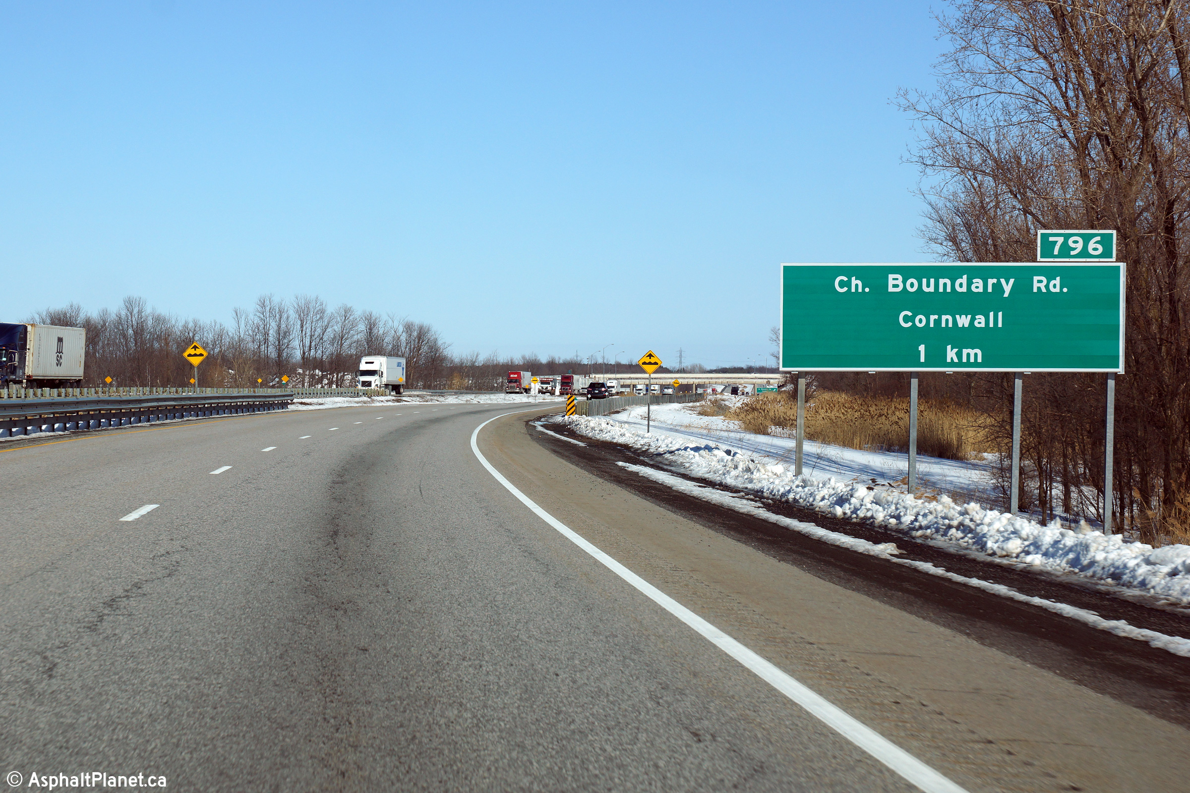
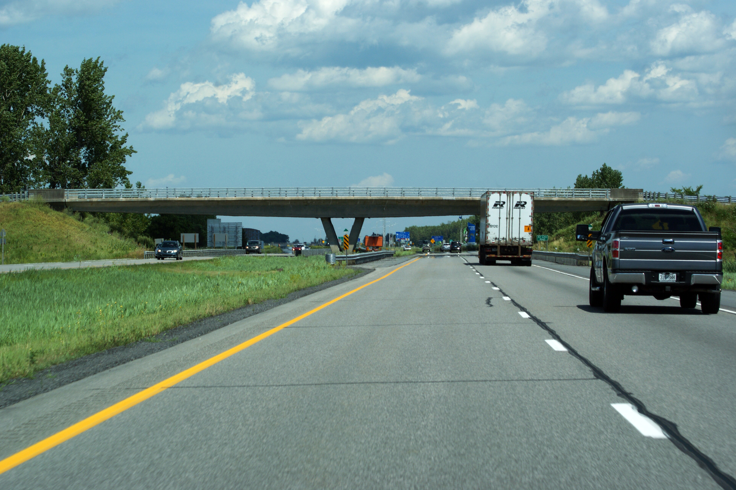
| City of Cornwall |
Eastbound advanced signage for the ramp to Boundary Road
in Cornwall. Until the early 2000s, Highway 401 passed overtop of a
railway overhead at this point. Following the removal of the railway
bridge, this portion of the 401 has been prone to settlement, explaining the
bump ahead sign in this photo. The abandoned railway was the CP's
former Cornwall Subdivision, and was abandoned in 1995. Photo taken: March 31st, 2014. |
 (720x480) (720x480)(1440x960) (2400x1600) |
|
| City of Cornwall |
This view looks easterly at the eastbound off-ramp to
Boundary Road in Cornwall. Photo taken: March 31st, 2014. |
 (720x480) (720x480)(1440x960) (2400x1600) |
|
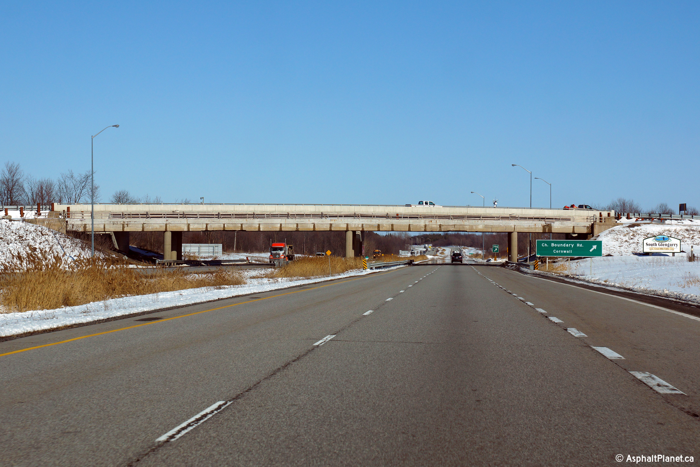
| City of Cornwall |
This view looks westerly from the Boundary Road interchange. Photo taken: March 31st, 2014. |
 |
|
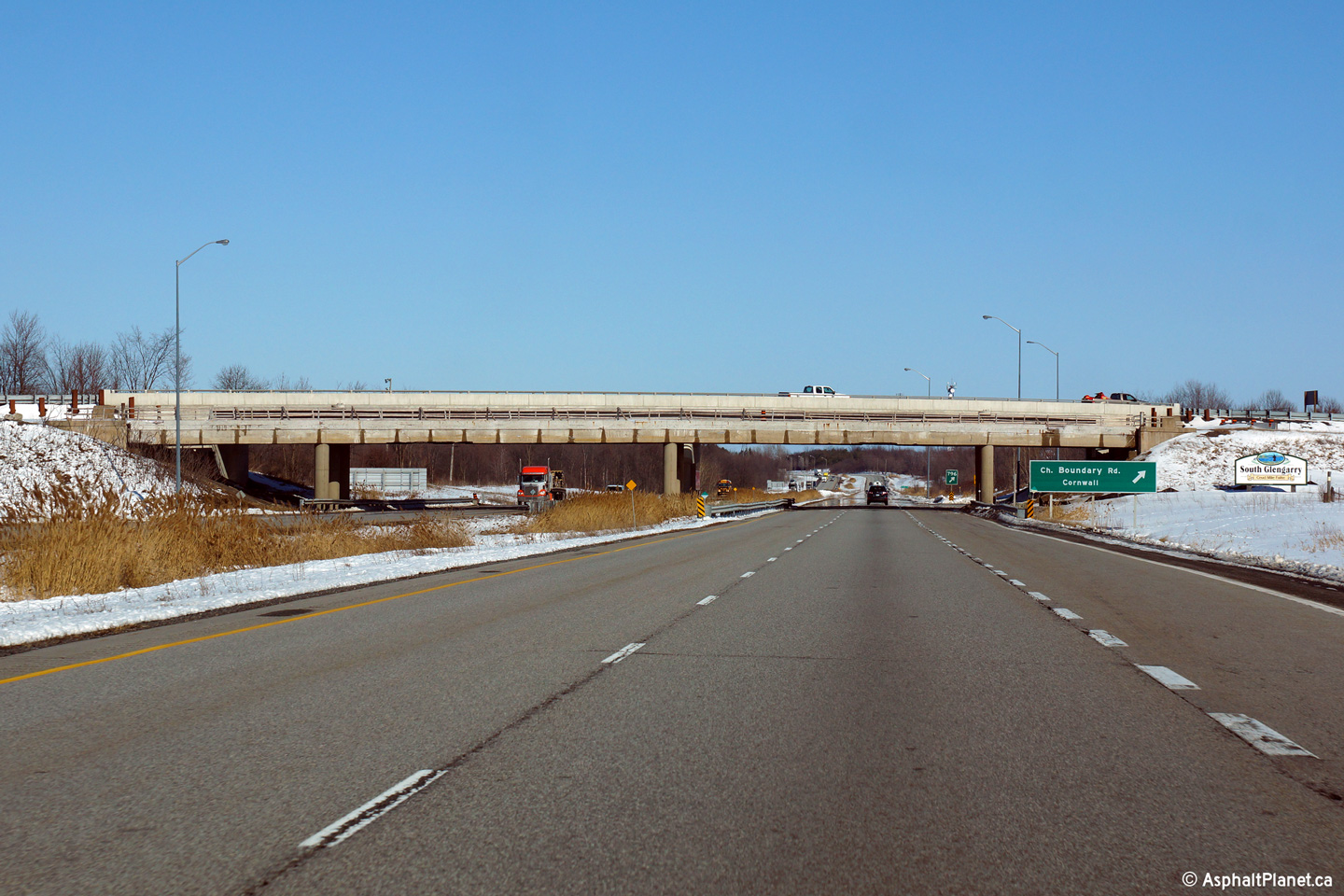
| Township of
South Glengarry United Counties of Stormont, Dundas and Glengarry |
Easterly view from the Boundary Road interchange. Photo taken: March 31st, 2014. |
 |
|
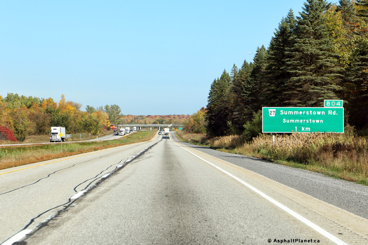
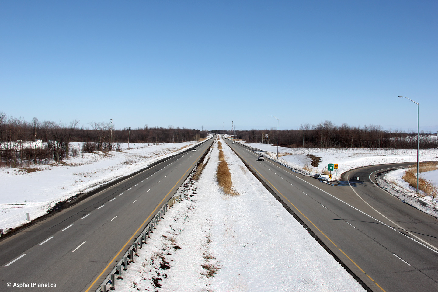
| Township of
South Glengarry United Counties of Stormont, Dundas and Glengarry |
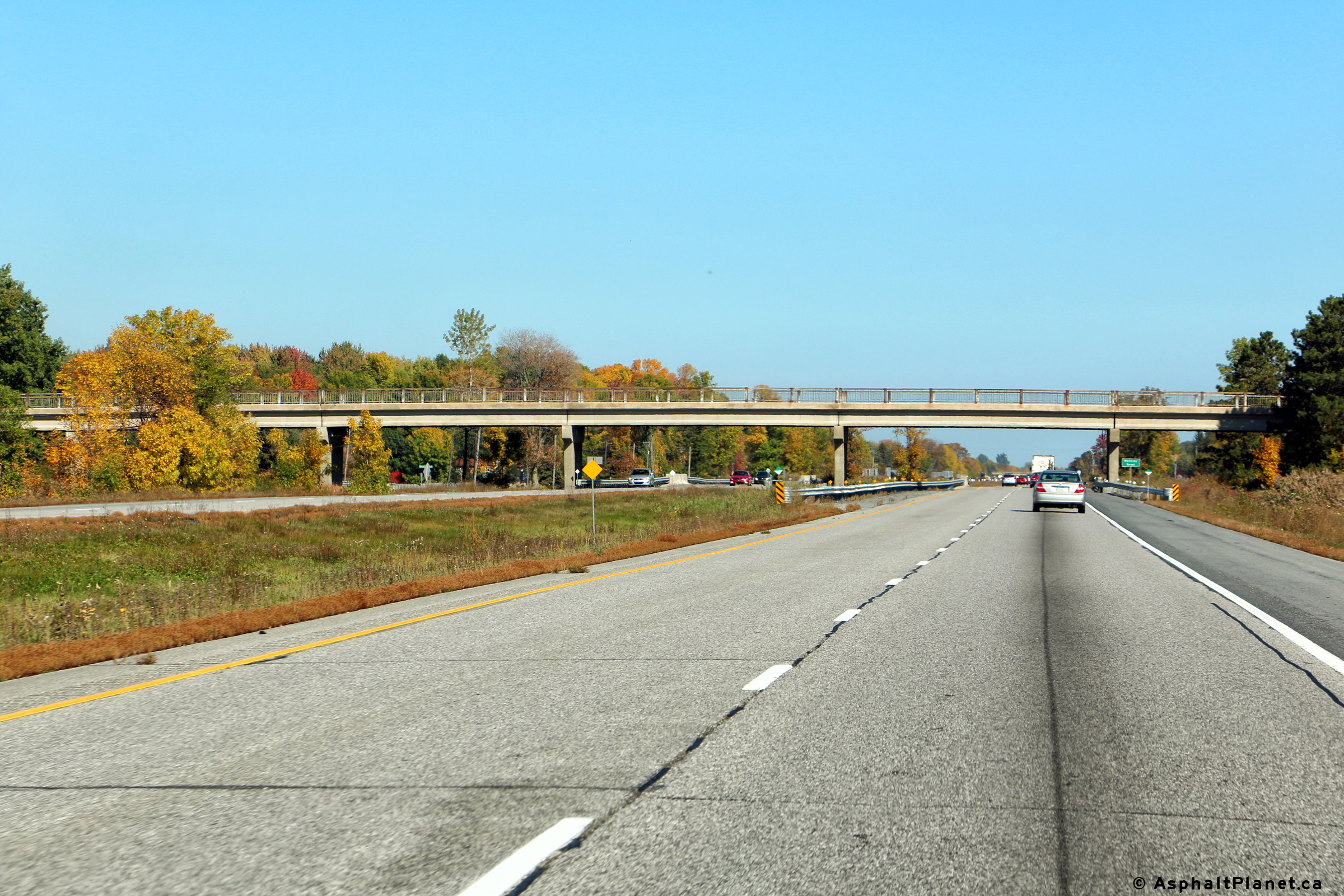
Eastbound advanced signage for the Summerstown Road interchange. Photo taken: October 7th, 2016. |
 (720x480) (720x480)(1440x960) (2400x1600) |
|
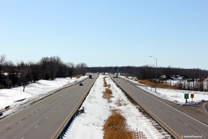
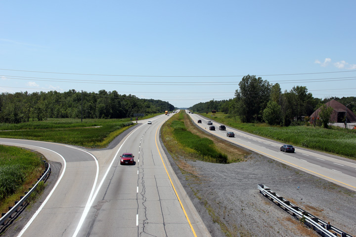
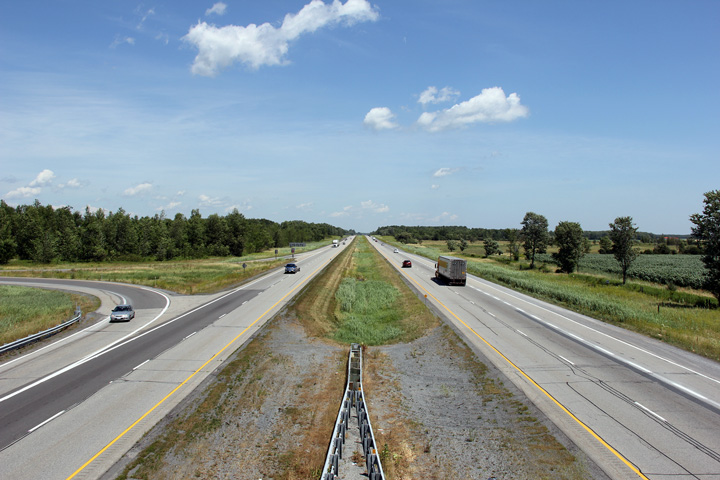
| Township of
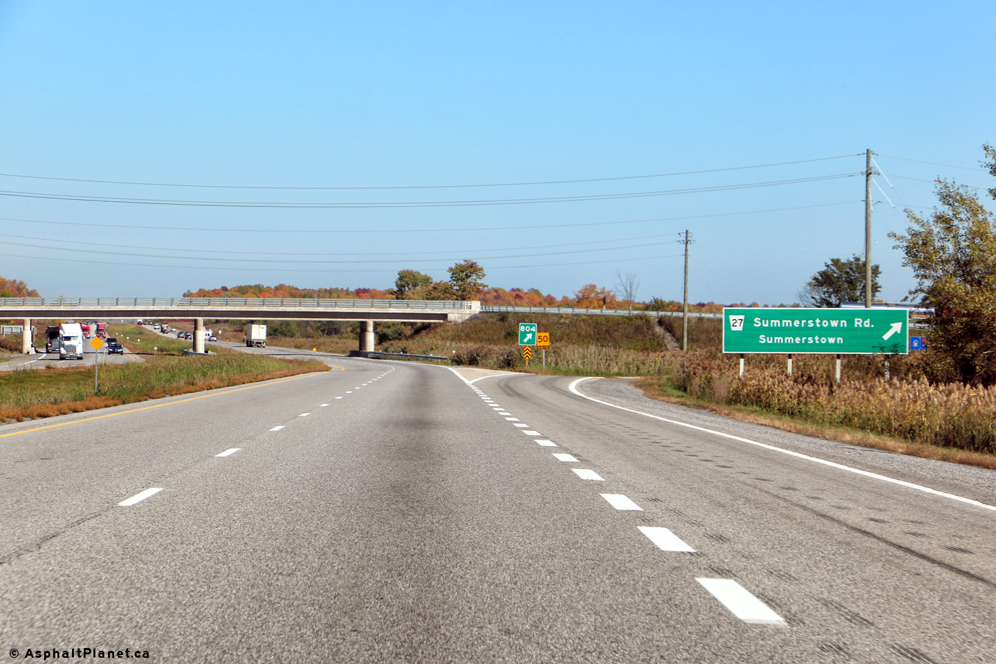
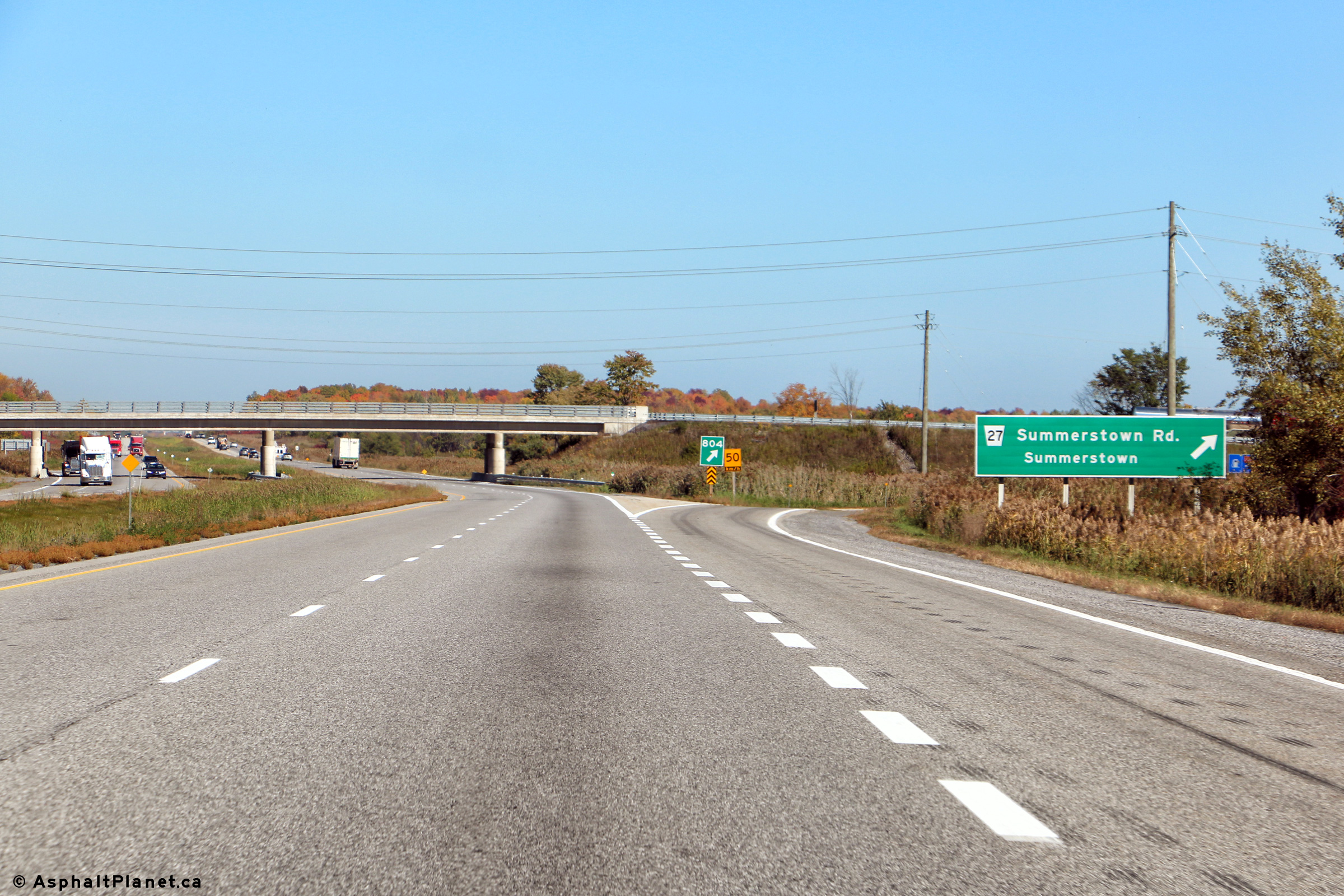
South Glengarry United Counties of Stormont, Dundas and Glengarry |
Easterly views along Highway 401 approaching the Summerstown Road interchange.
The signage was replaced during the early 2010s. Upper photo taken: July 23rd, 2011. Lower photo taken: October 7th, 2016. |
 (720x480) (720x480)(1440x960) (2400x1600) 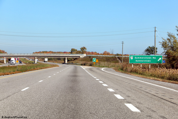 (720x480) (720x480)(1440x960) (2400x1600) |
|
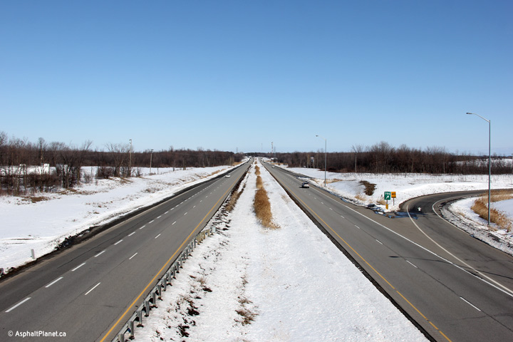
| Township of
South Glengarry United Counties of Stormont, Dundas and Glengarry |
This view looks westerly towards Cornwall from the
Summerstown Road overpass. Photo taken: July 23rd, 2011. |
 |
|
| Township of
South Glengarry United Counties of Stormont, Dundas and Glengarry |
The easterly view, bound for Montréal from the
Summerstown Road overpass. Photo taken: July 23rd, 2011. |
||
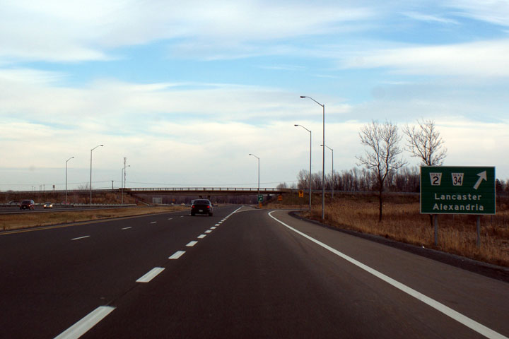
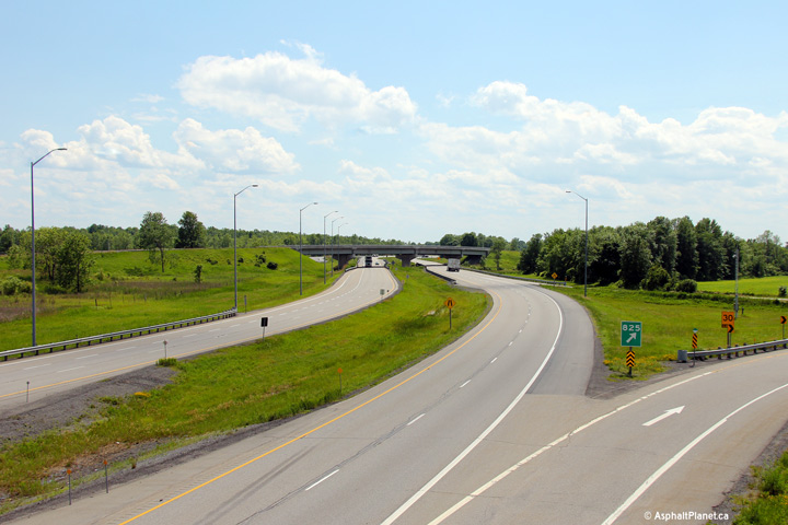
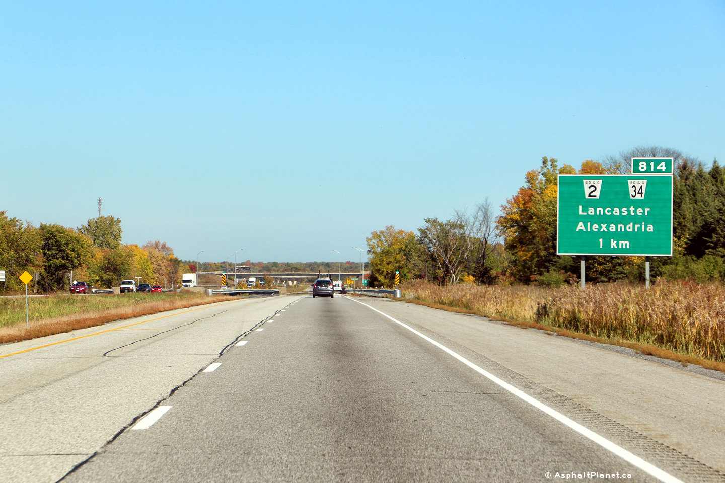
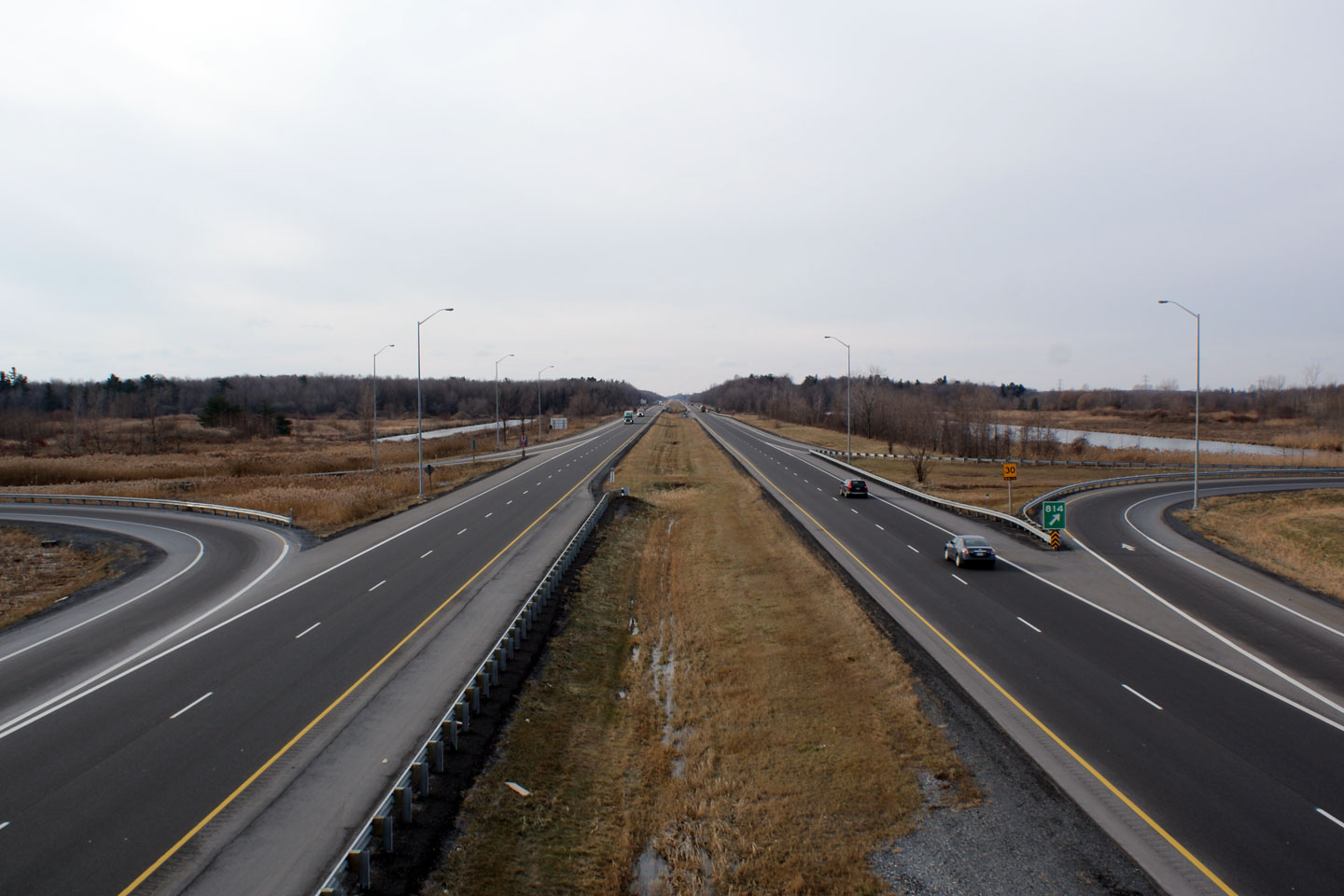
| Township of
South Glengarry United Counties of Stormont, Dundas and Glengarry |
New signage for the former Highway 2 and 34 interchange. Photo taken: July 23rd, 2011. |
 (720x480) (720x480)(1440x960) (2400x1600)  (720x480) (720x480)(1440x960) (2400x1600) |
|
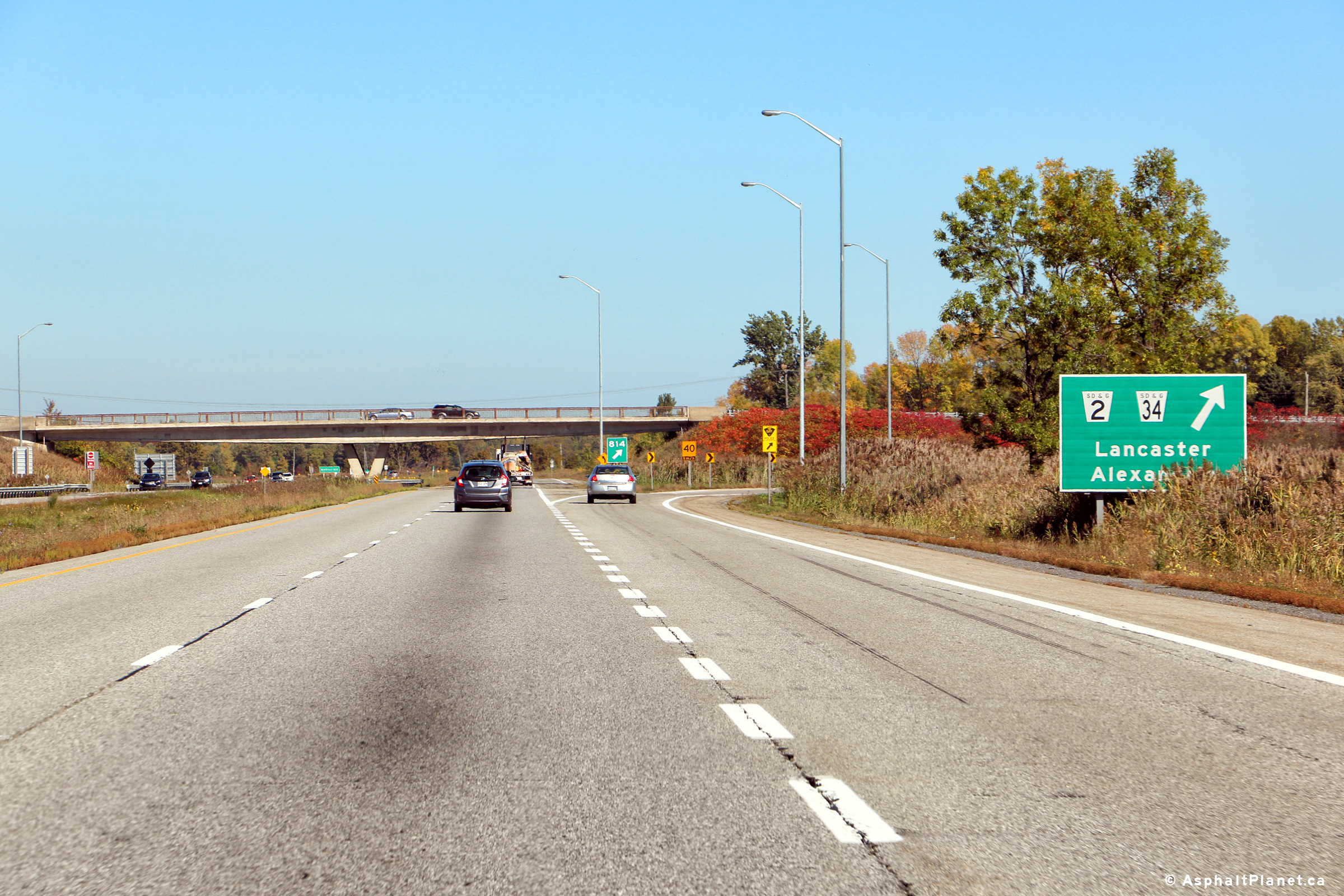
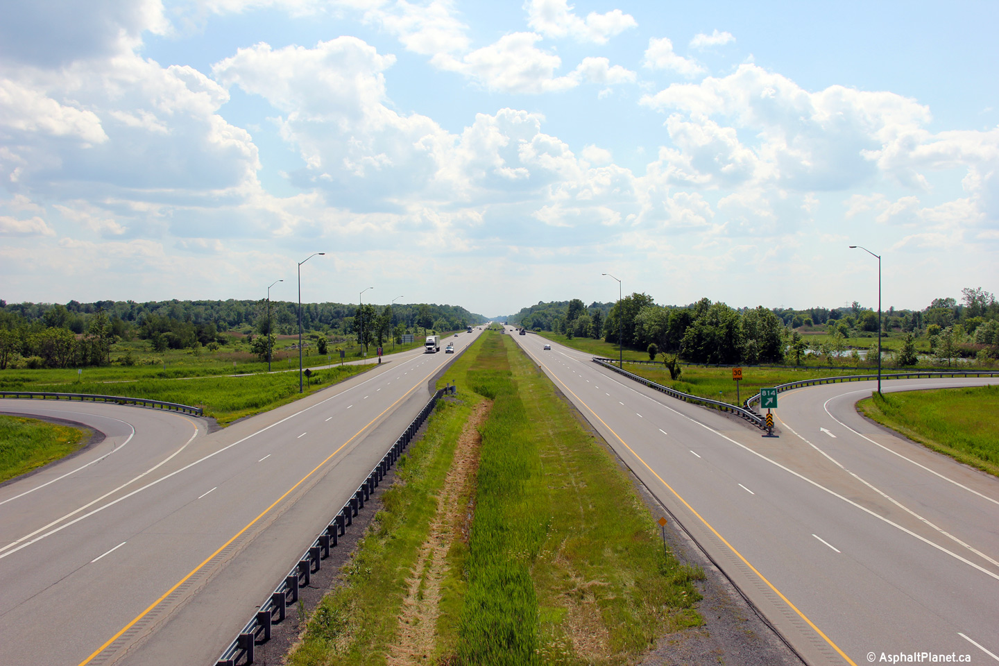
| Township of
South Glengarry United Counties of Stormont, Dundas and Glengarry |
The Highway 2/34 interchange is the second easternmost
interchange along Highway 401. Until quite recently the sign for this
interchange was an older angled edge sign. Photo taken: December 7, 2008. |
 (720x480) (720x480)(1440x960) 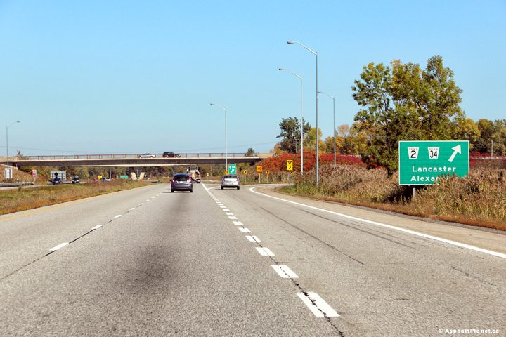 (720x480) (720x480)(1440x960) (2400x1600) |
|
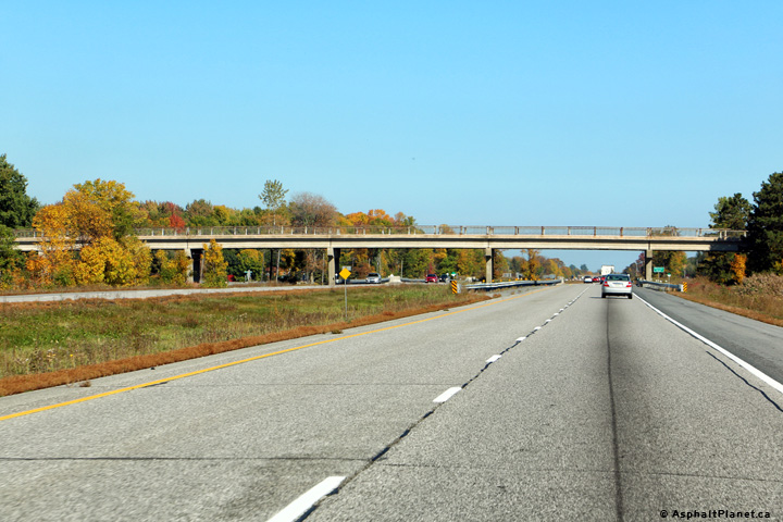
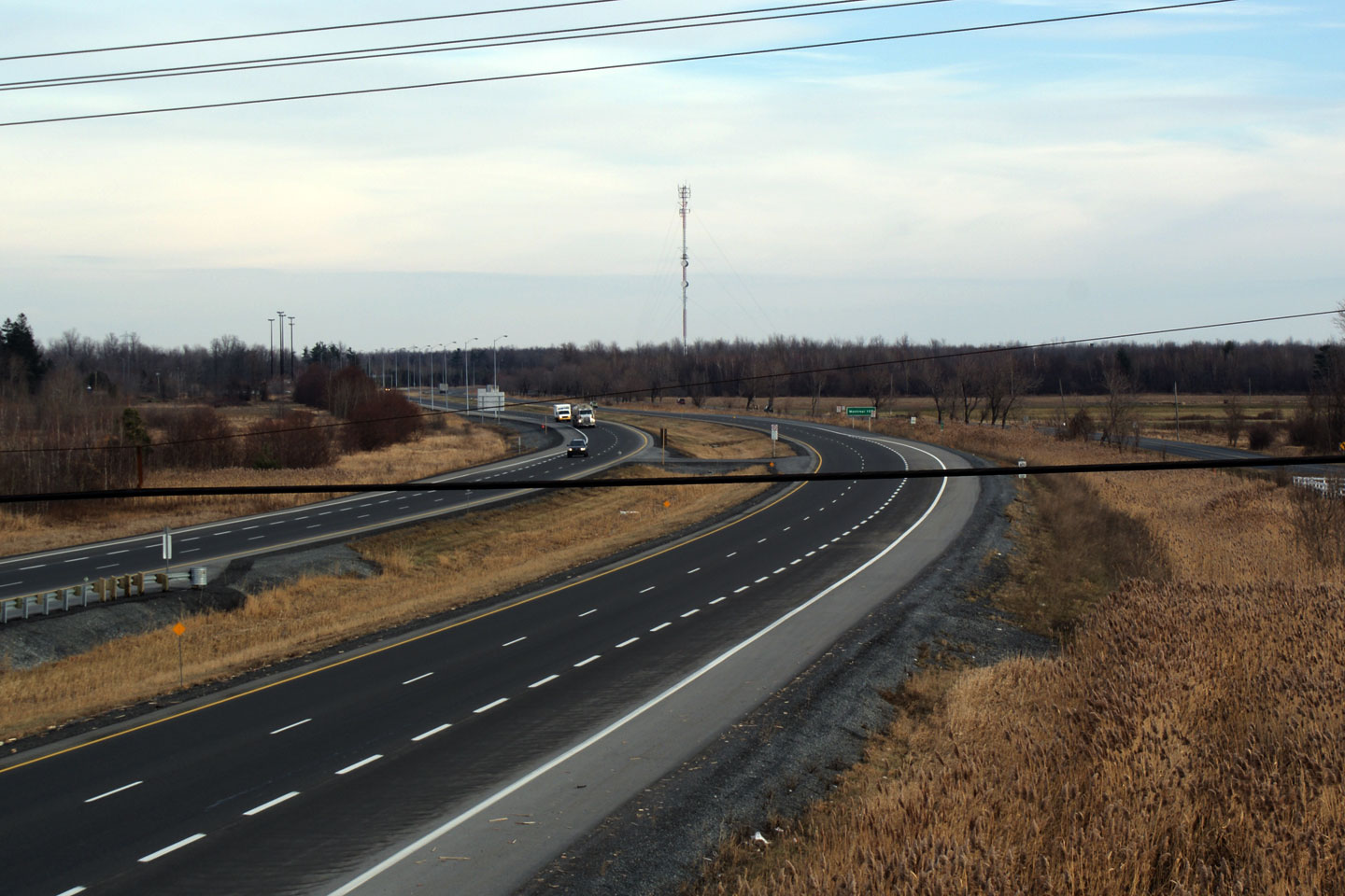
| Township of
South Glengarry United Counties of Stormont, Dundas and Glengarry |
View looking westerly along the 401 from the Highway 34
overpass. Click here for this
same view taken in December, 2008. Photo taken: June 18th, 2013. |
||
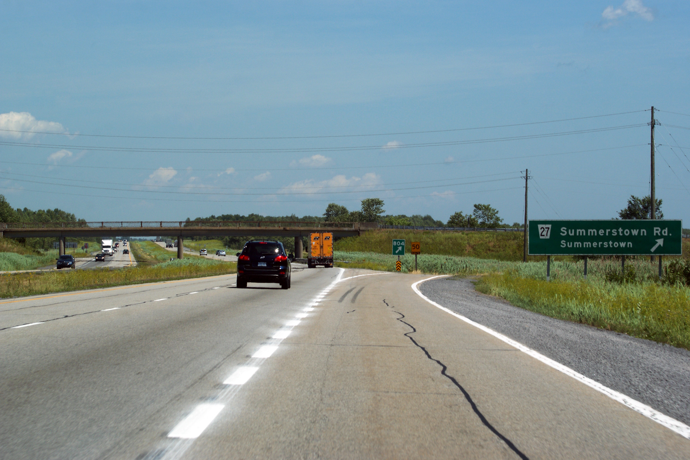
| Highway 2 and 34 intersect with the Highway 401 at South Lancaster. Click here for Highway 2 images and here for Highway 34 images. | |||
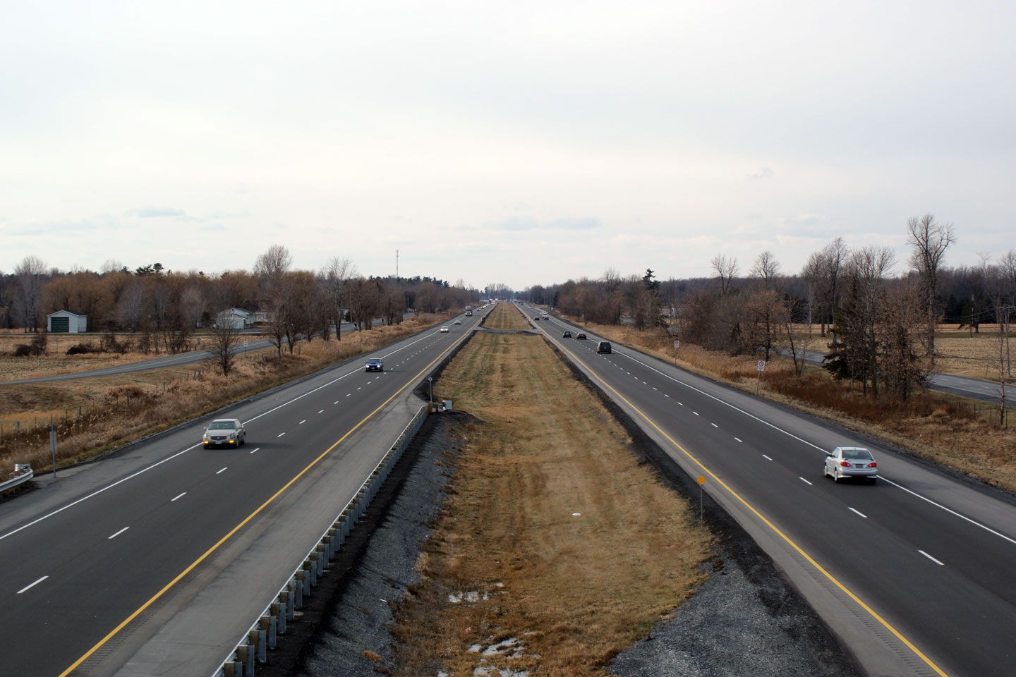
| Township of
South Glengarry United Counties of Stormont, Dundas and Glengarry |
Easterly view from the Highway 34 overpass. Click
here for this same view taken in
December, 2008. Photo taken: June 18th, 2013. |
||
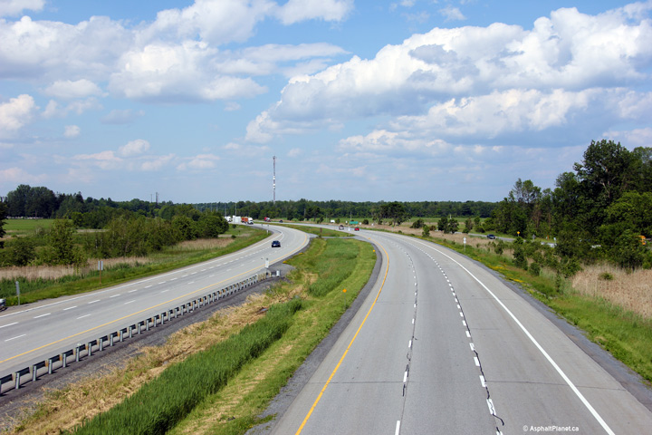
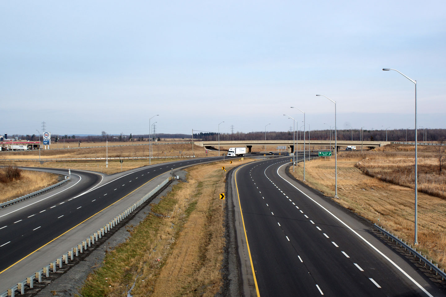
| Township of
South Glengarry United Counties of Stormont, Dundas and Glengarry |
Easterly view along Highway 401 approaching the 2nd Line Road overpass. Photo taken: October 7th, 2016. |
 (720x480) (720x480)(1440x960) (2400x1600) |
|
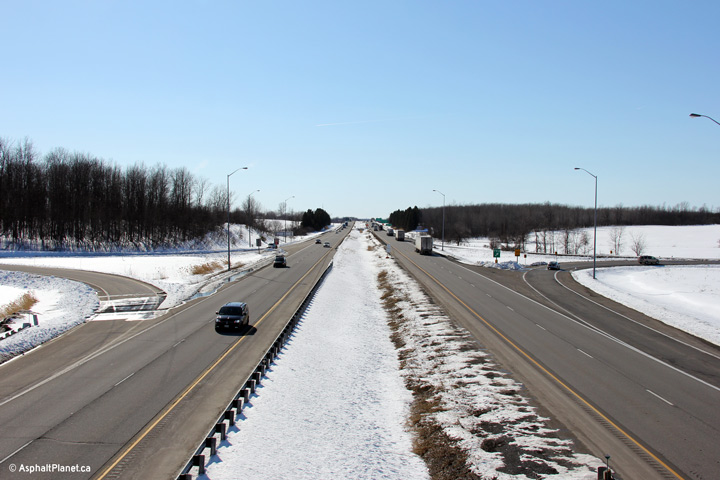
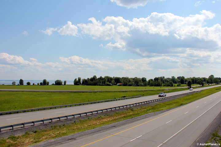
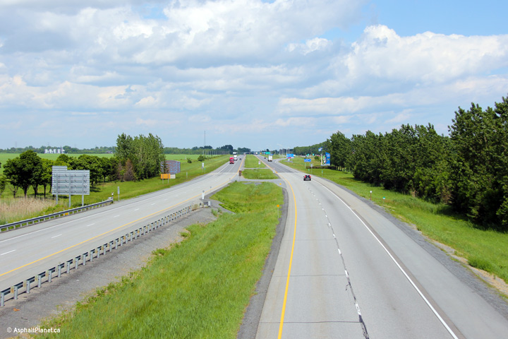
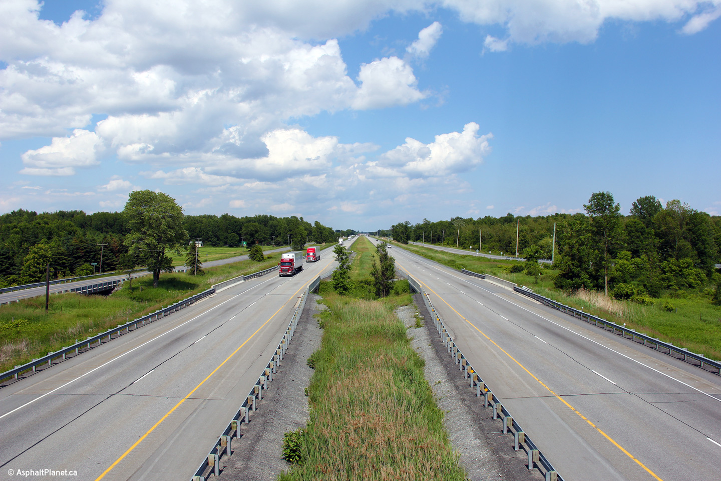
| Township of
South Glengarry United Counties of Stormont, Dundas and Glengarry |
This is a westerly view from Second Line. Though in
Eastern Ontario
the 401 is seldom more than five kilometres away from either the
shores of either Lake Ontario or the Saint Lawrence River, motorists are
very seldom treated to views of the waterway. The lower photo shows Lake
St. Francis (the Saint Lawrence River) running adjacent to the highway. Lake St. Francis was formed when the St.
Lawrence River was dammed at Salaberry-de-Valleyfield in Quebec. Click
here for this same view taken in
December, 2008. Photo taken: June 18th, 2013. |
||
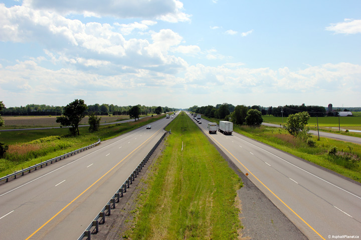
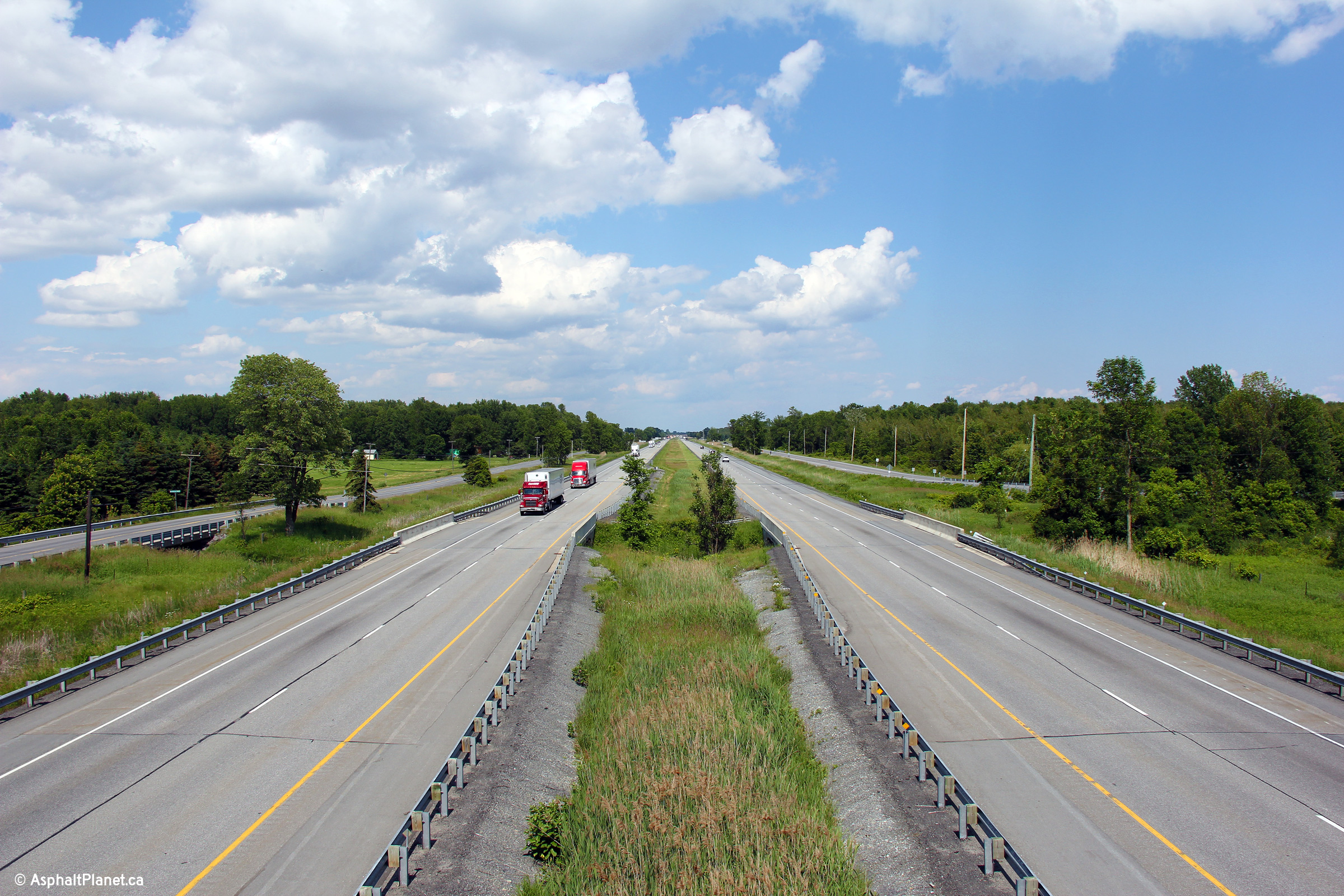
| Township of
South Glengarry United Counties of Stormont, Dundas and Glengarry |
Its amazing how similar the 401 looks in extreme eastern
Ontario to what the 401 looks like in extreme
Southwestern Ontario. Easterly view from the Second Line overpass. Click
here for this same view taken in
December, 2008. Photo taken: June 18th, 2013. |
||
| Township of
South Glengarry United Counties of Stormont, Dundas and Glengarry |
Southerly view along the eastern side of the Second Line overpass. Photo taken: June 18th, 2013. |
 |
|
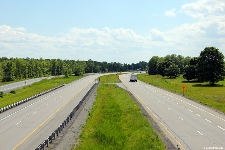
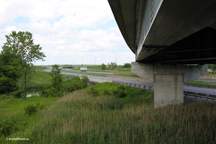
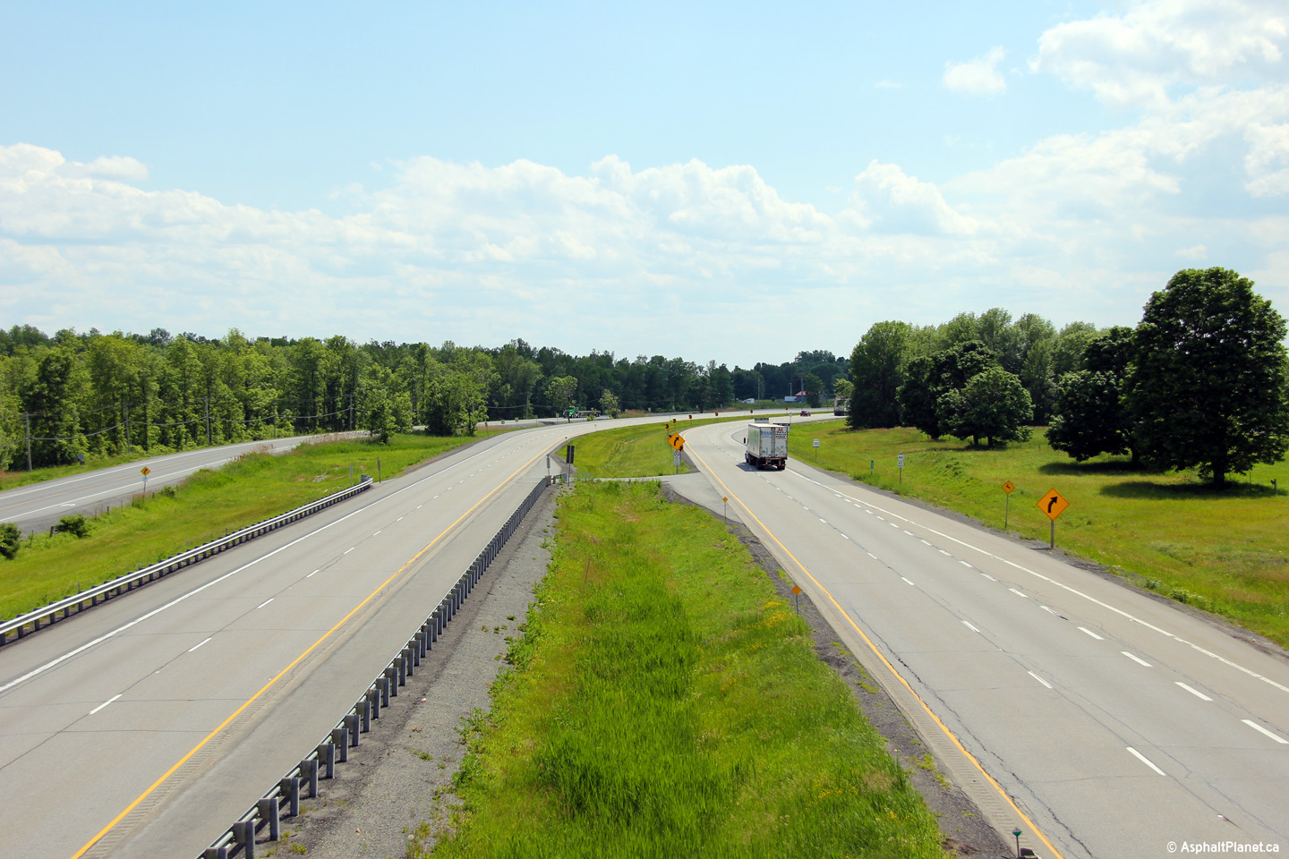
| Township of
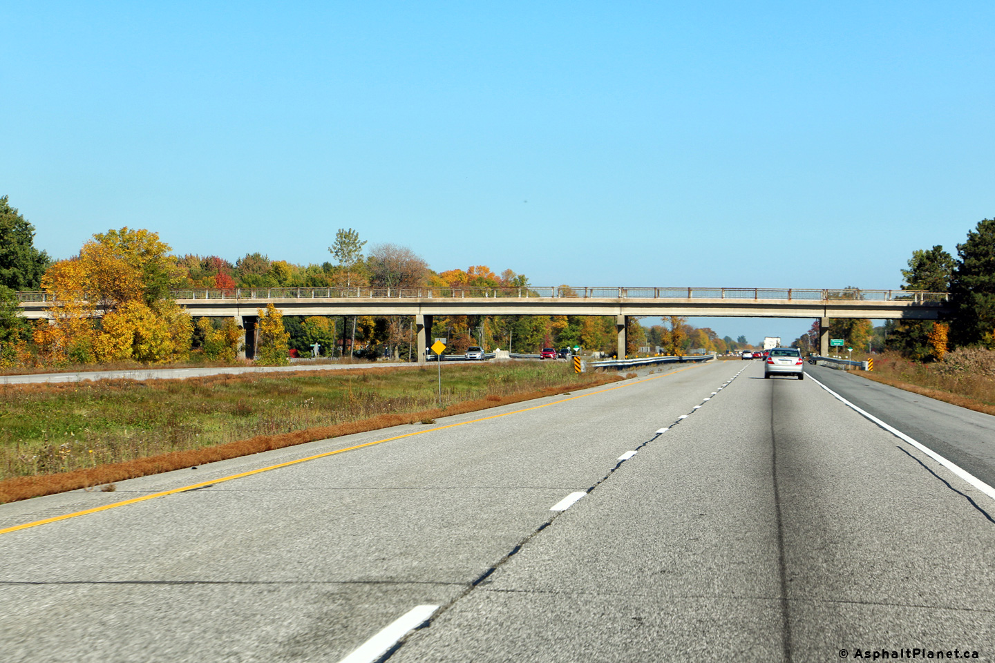
South Glengarry United Counties of Stormont, Dundas and Glengarry |
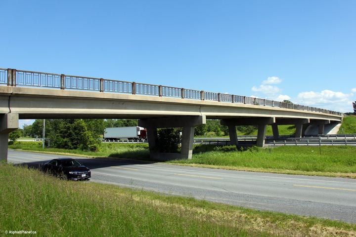
This view looks easterly towards the Third Line Road overpass. The Third
Line Road overpass crosses over both Highway 401 and old Highway 2 via one
lengthy structure. Photo taken: June 18th, 2013. |
 |
|
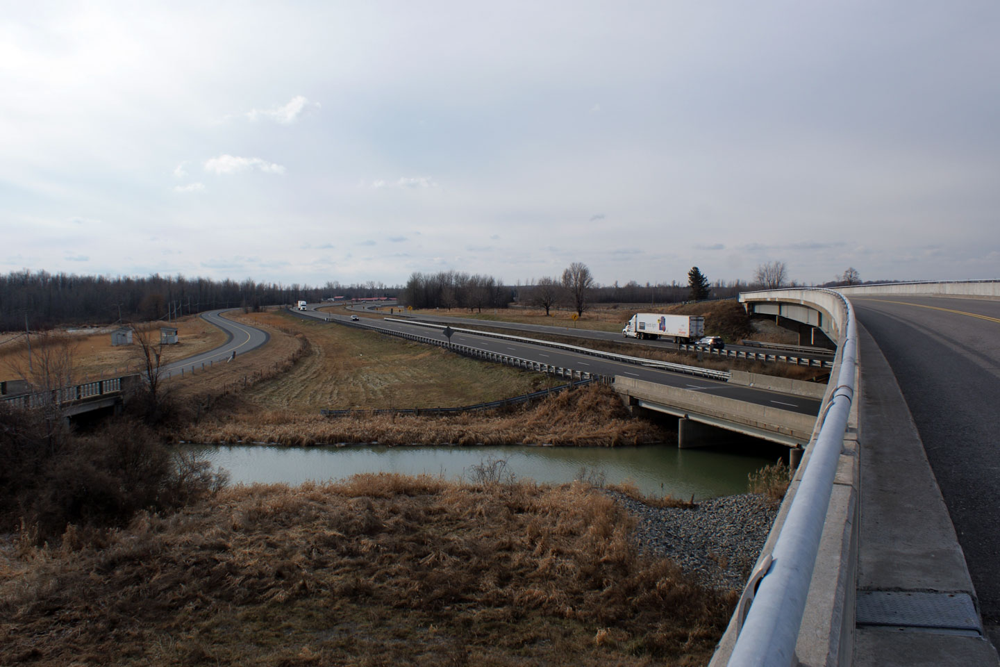
| Township of
South Glengarry United Counties of Stormont, Dundas and Glengarry |
View looking westerly from Third Line Road.
Click here for this same view taken in
December, 2008. Photo taken: June 18th, 2013. |
||
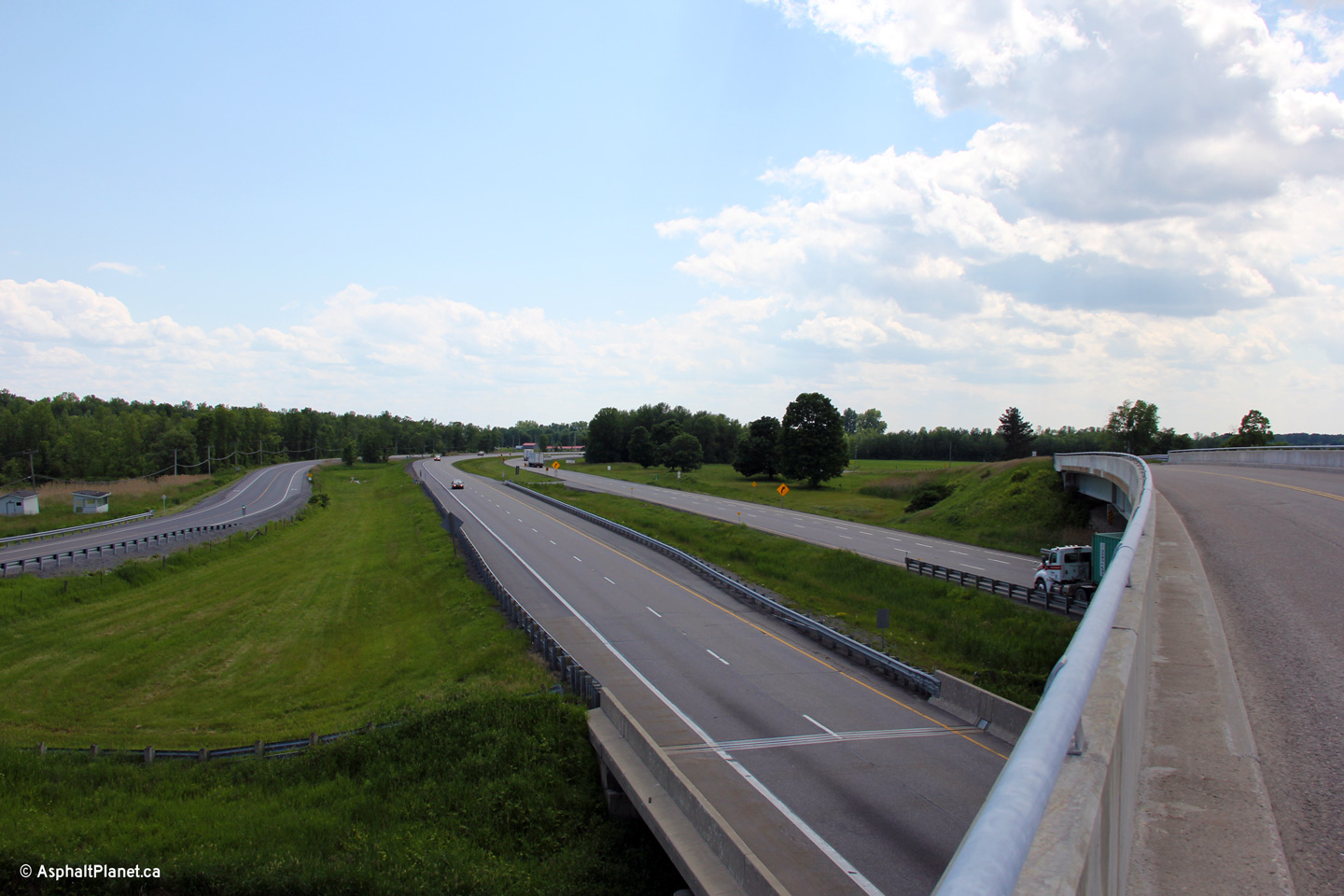
| Township of
South Glengarry United Counties of Stormont, Dundas and Glengarry |
Easterly view from the Third Line Road overpass. Click
here for this same view taken in
December, 2008. Photo taken: June 18th, 2013. |
||
| Township of
South Glengarry United Counties of Stormont, Dundas and Glengarry |
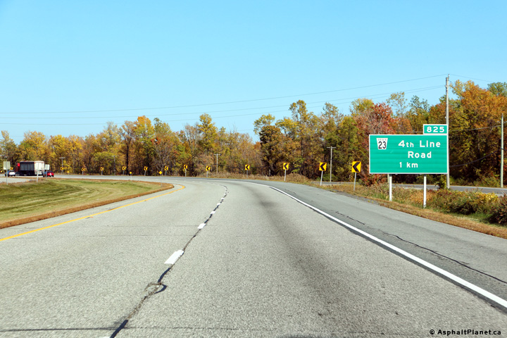
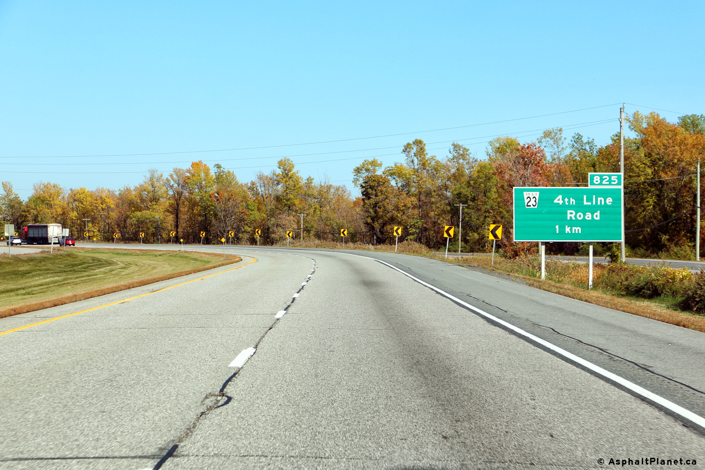
Eastbound advanced signage for the 4th Line Road interchange. Photo taken: October 7th, 2016. |
 (720x480) (720x480)(1440x960) (2400x1600) |
|
| Township of
South Glengarry United Counties of Stormont, Dundas and Glengarry |
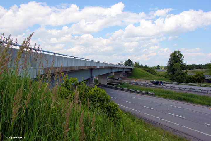
Eastern side of the Old Highway 2 overpass. The original steel
railings have been replaced with a modern concrete parapet on this
structure. Photo taken: June 18th, 2013. |
 |
|
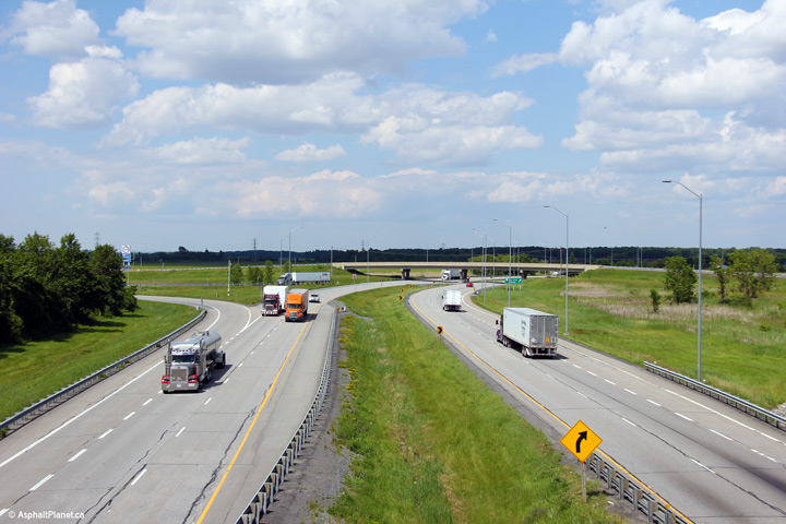
| Township of
South Glengarry United Counties of Stormont, Dundas and Glengarry |
Two views looking westerly owards Cornwall from the Old
Highway 2 overpass. Click here for this same view taken in
December, 2008. Photo taken: June 18th, 2013. |
||
| Township of
South Glengarry United Counties of Stormont, Dundas and Glengarry |
Two views looking easterly from the Old Highway 2
overpass towards the Fourth Line Road interchange. The former Highway
2 crosses overtop of Highway 401 directly overtop of the Raisin River
bridge. Click
here for this same view taken in
December, 2008. Photo taken: June 18th, 2013. |
||
| Township of
South Glengarry United Counties of Stormont, Dundas and Glengarry |
Eastbound signage for the off-ramp to Fourth Line Road. Photo taken: October 7th, 2016. |
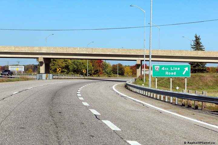 (720x480) (720x480)(1440x960) (2400x1600) |
|
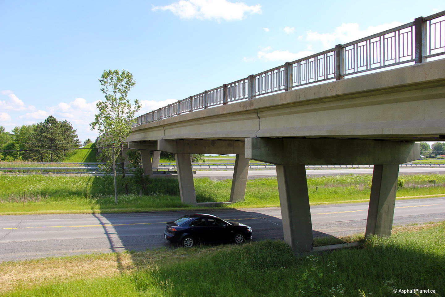
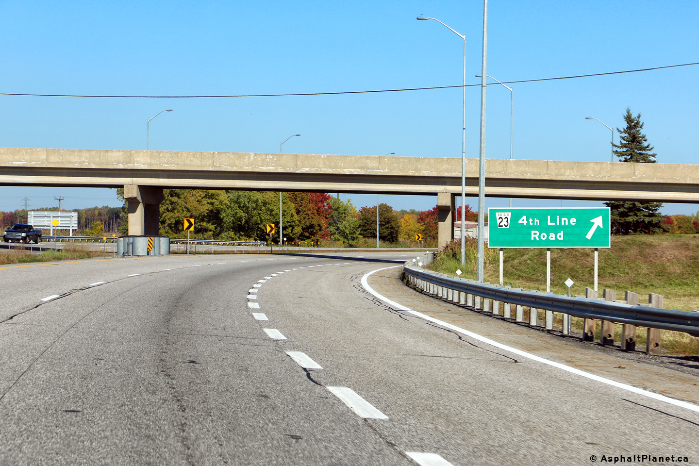
| Township of
South Glengarry United Counties of Stormont, Dundas and Glengarry |
Looking west towards the Old Highway 2 overpass from 4th Line
Road. Overpass design in Eastern Ontario is very similar to the
concrete beam bridges found in Quebec. Click
here for this same view taken in
December, 2008. Photo taken: June 18th, 2013. |
||
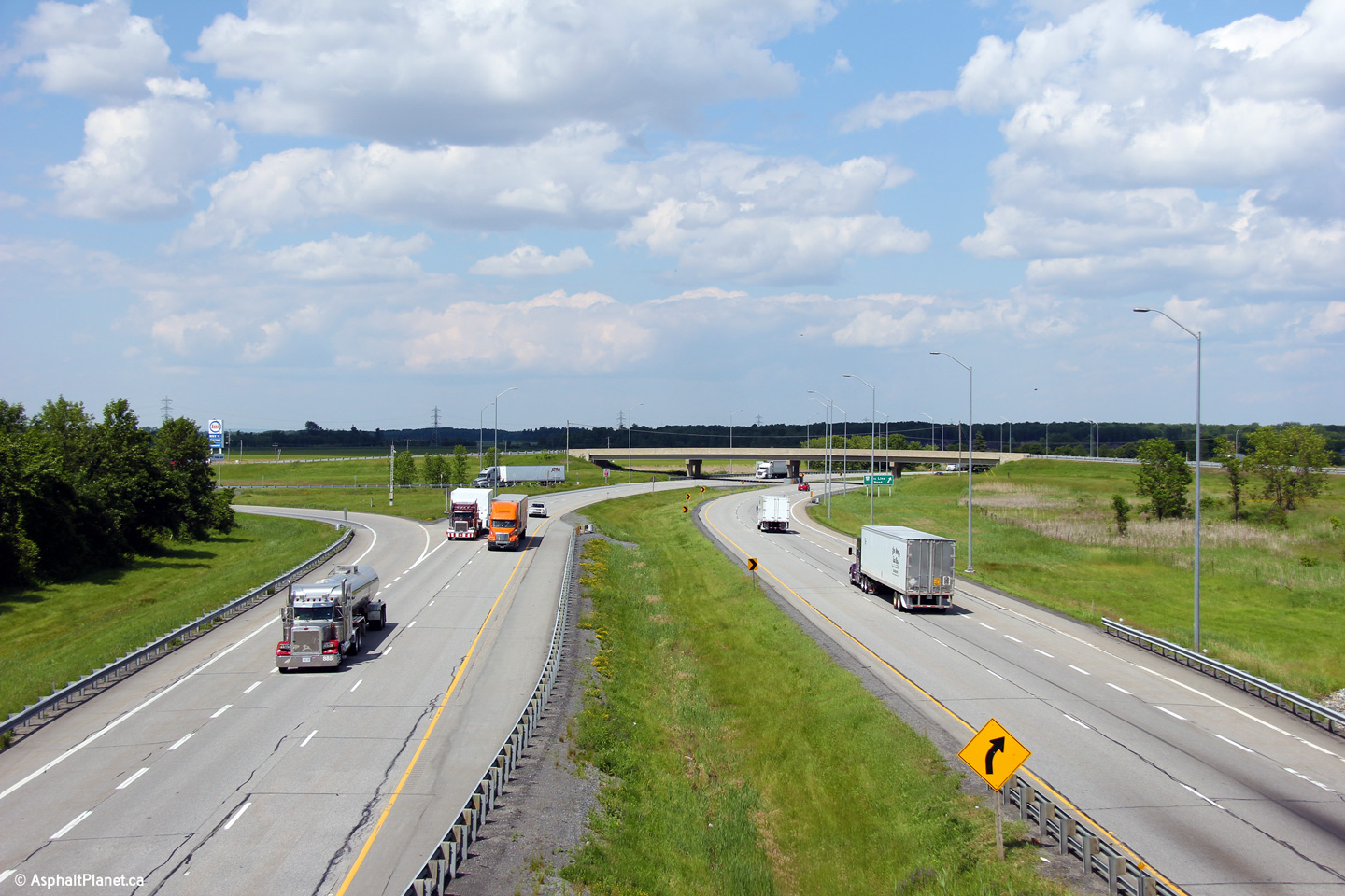
| Township of
South Glengarry United Counties of Stormont, Dundas and Glengarry |
Easterly view from 4th Line Road. 4th Line Road
is the easternmost interchange along Highway 401. Click
here for this same view taken in
December, 2008. Photo taken: June 18th, 2013. |
||
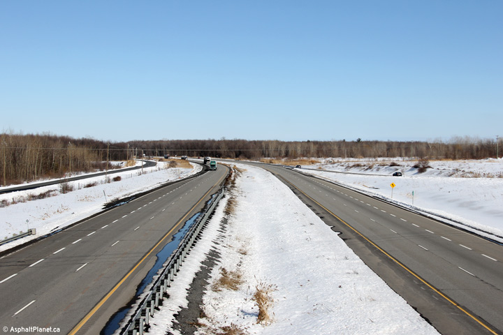
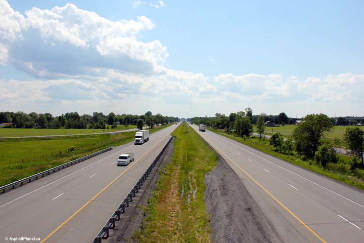
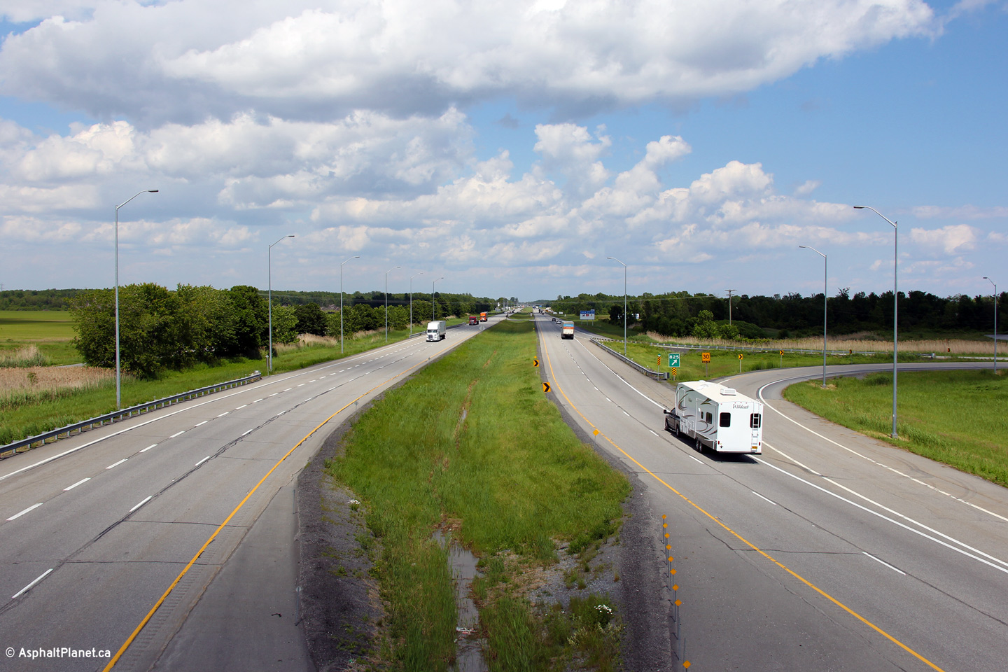
| Township of
South Glengarry United Counties of Stormont, Dundas and Glengarry |
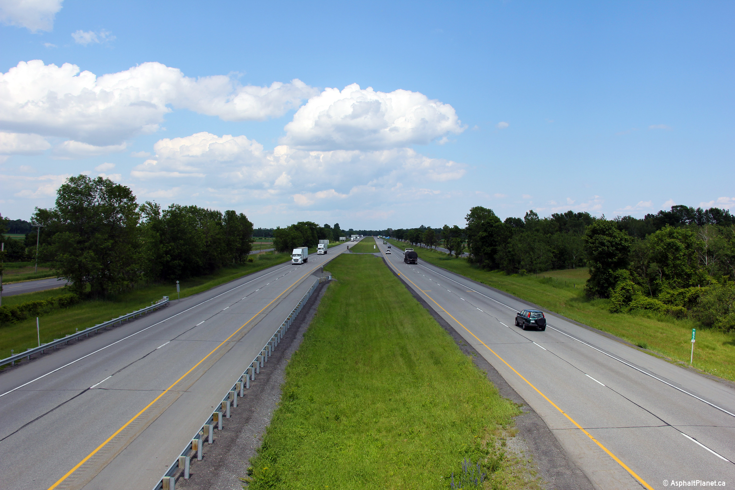
Eastbound view along Highway 401 approaching the Fifth
Line overpass. This is the easternmost overpass along Highway 401. Photo taken: July 23rd, 2011. |
 (720x480) (720x480)(1440x960) (2400x1600) |
|
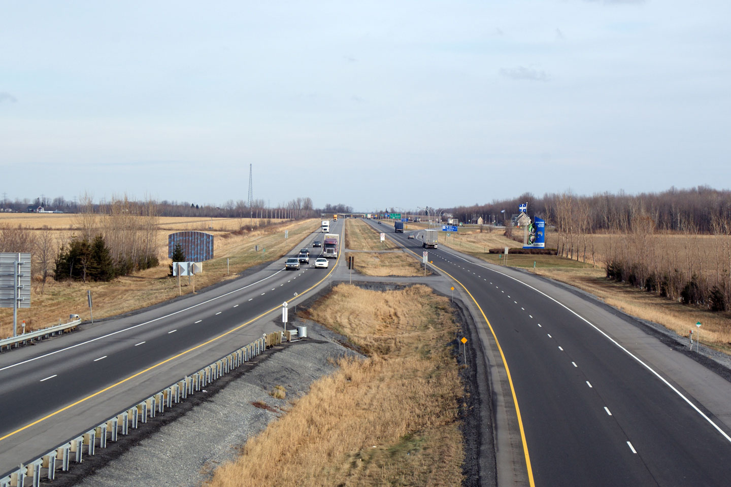
| Township of
South Glengarry United Counties of Stormont, Dundas and Glengarry |
View looking westerly from the Fifth Line. Click
here for this same view taken in
December, 2008. Photo taken: June 18th, 2013. |
||
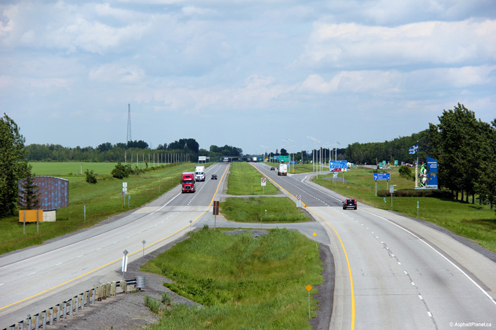
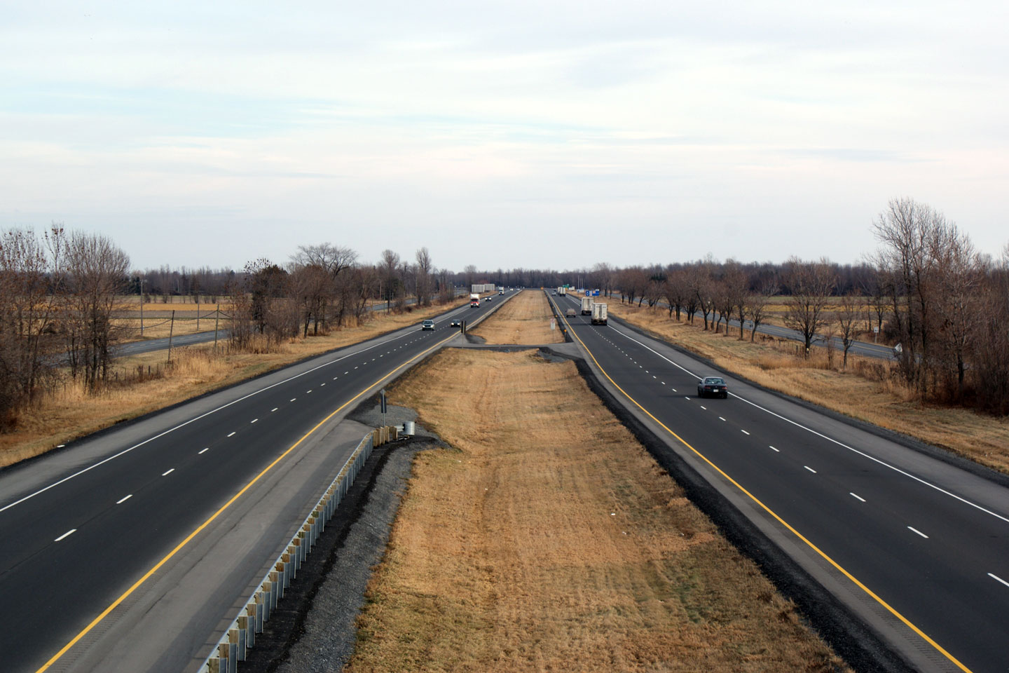
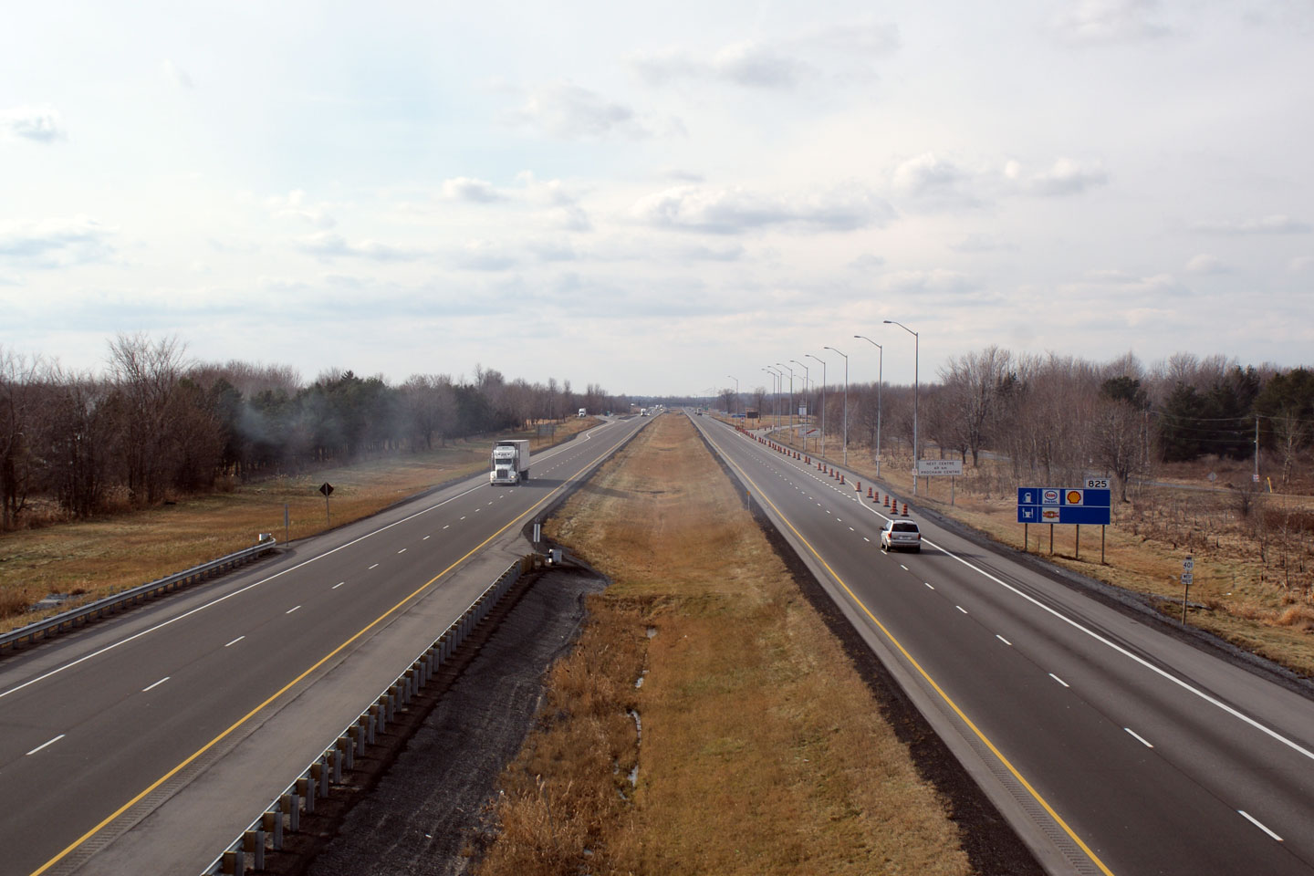
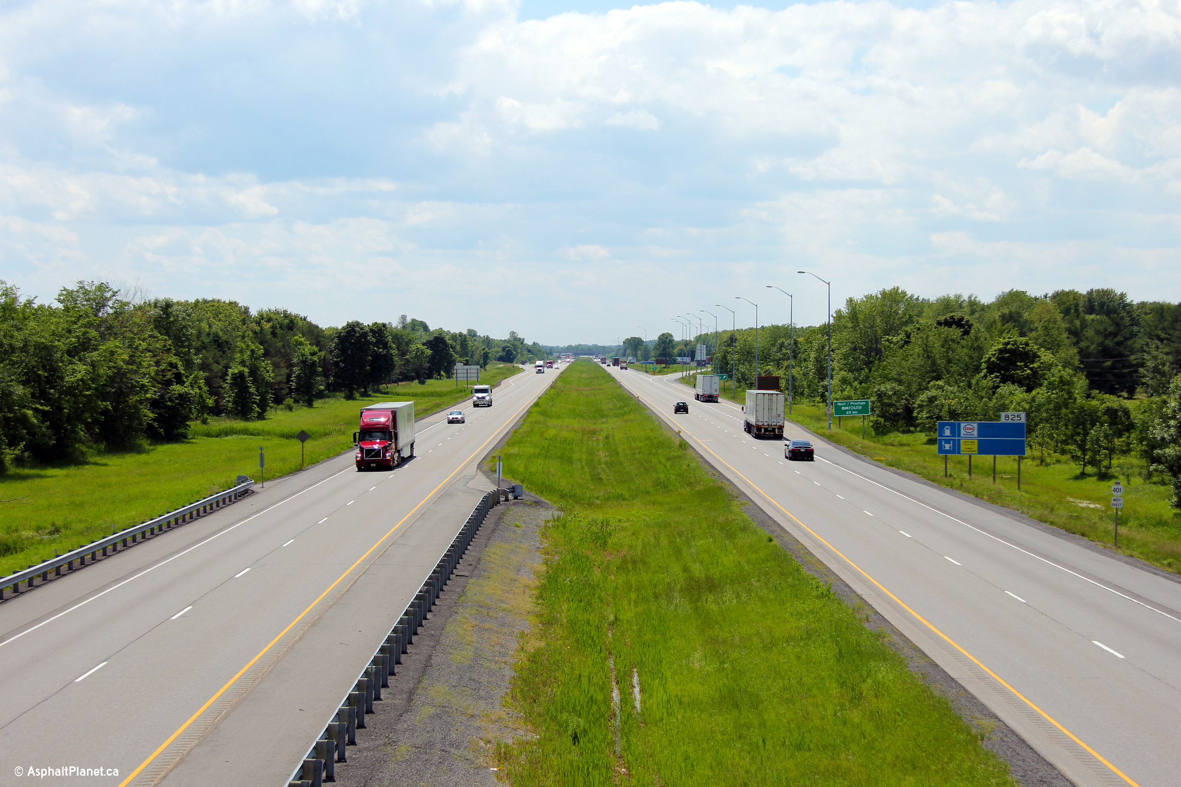
| Township of
South Glengarry United Counties of Stormont, Dundas and Glengarry |
Easterly views of Highway 401 from the Fifth Line
overpass. This was a noteworthy milestone in my website development.
This view looks towards the eastern terminus of the 401. Quebec's
Autoroute 20 carries traffic easterly into Montreal and Quebec City.
Click here for this same view taken in
December, 2008. Photo taken: June 18th, 2013.. |
||
| Highway 401 is Autoroute 20 in Quebec. Click here for Autoroute 20 images. | |||
<- Page 17 Images Highway 401 Images Index PQ Route 20 ->
<- Highway 400 Images Back to Highway 401 Highway 402 Images ->
Copyright (c) 2004-2014, AsphaltPlanet.ca AsphaltPlanet@asphaltplanet.ca


