AsphaltPlanet.ca > OntHighways >
Highway 401 > Images
> Page 17
King's Highway 401 - Images
<- Page 16 Page 17 - Brockville to Cornwall Page 18 ->
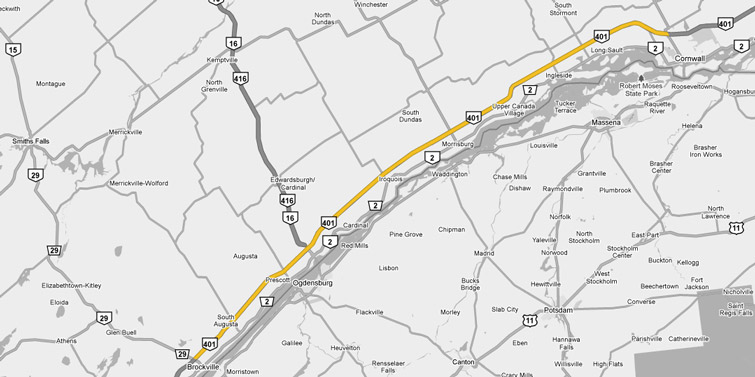
Photos shown in this table are arranged from West to East:
| Proper Municipality Name | Photo Description | Photo | ||
|
Photos taken from driver's perspective appear offset from centre-line Photos: |
East- bound |
West- bound |
||
| Continued from Napanee to Brockville Images | ||||
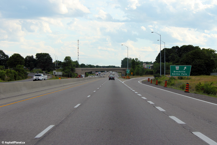
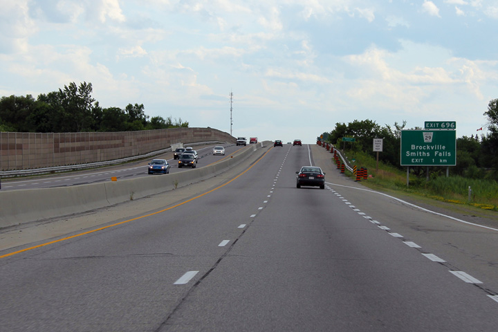
| Highway 29 is now defunct, but ran from Brockville to Smiths Falls before being downloaded in 1998. Click here for Highway 29 images | ||||
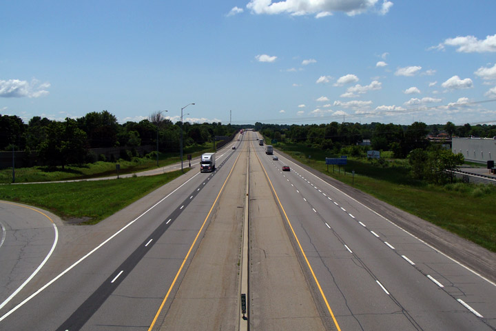
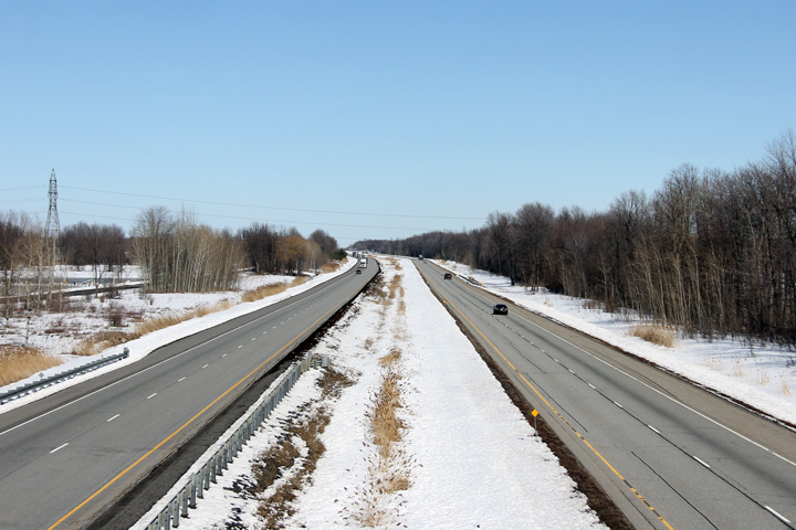
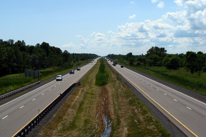
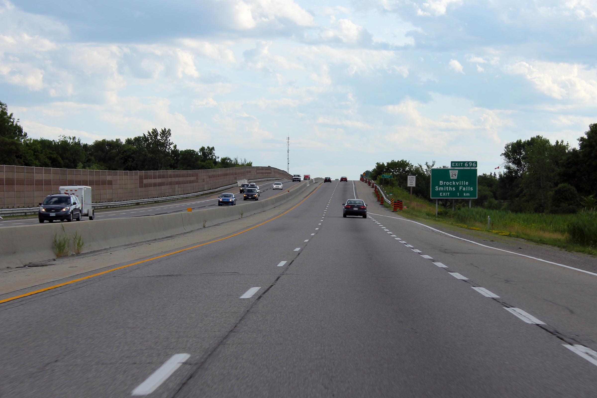
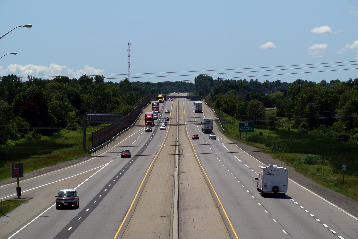
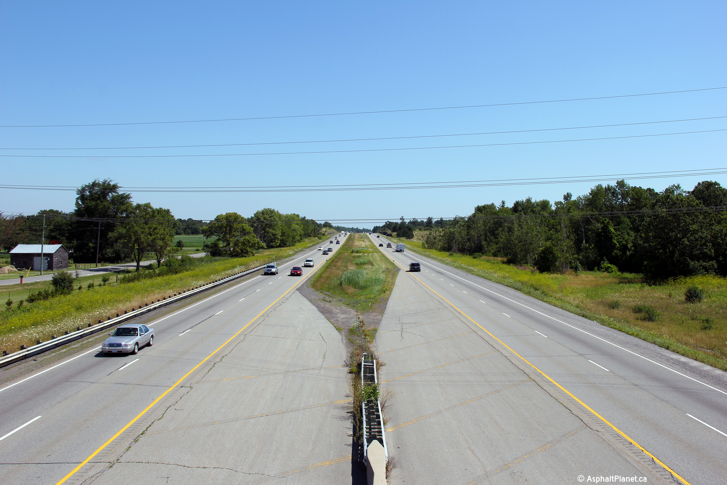
| City of Brockville |
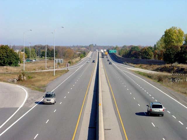
Highway 401 looking east from the Highway 29 overpass in Brockville. Highway 401's median is quite narrow through Brockville, it is hard to imagine that at one point, the two carriageways would have been separated only by a small ditch, instead of the modern tall wall concrete barrier that stands today. Photo taken: October 22nd, 2004. |
 |
||
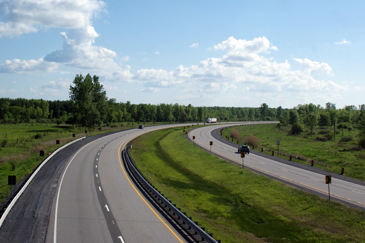
| City of Brockville |
View looking westerly at the off-ramp to Highway 29. Photo taken: July 2nd, 2012. |
 (720x480) (720x480)(1440x960) (2400x1600) |
||
| City of Brockville |
Westbound advanced signage for the Highway 29 interchange in Brockville. Photo taken: July 2nd, 2012. |
 (720x480) (720x480)(1440x960) (2400x1600) |
||
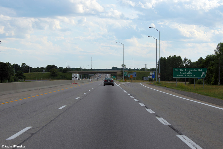
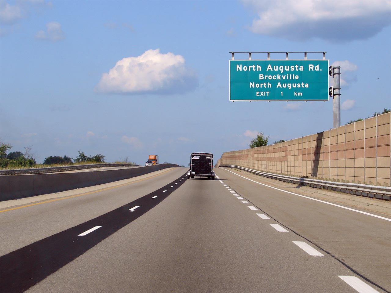
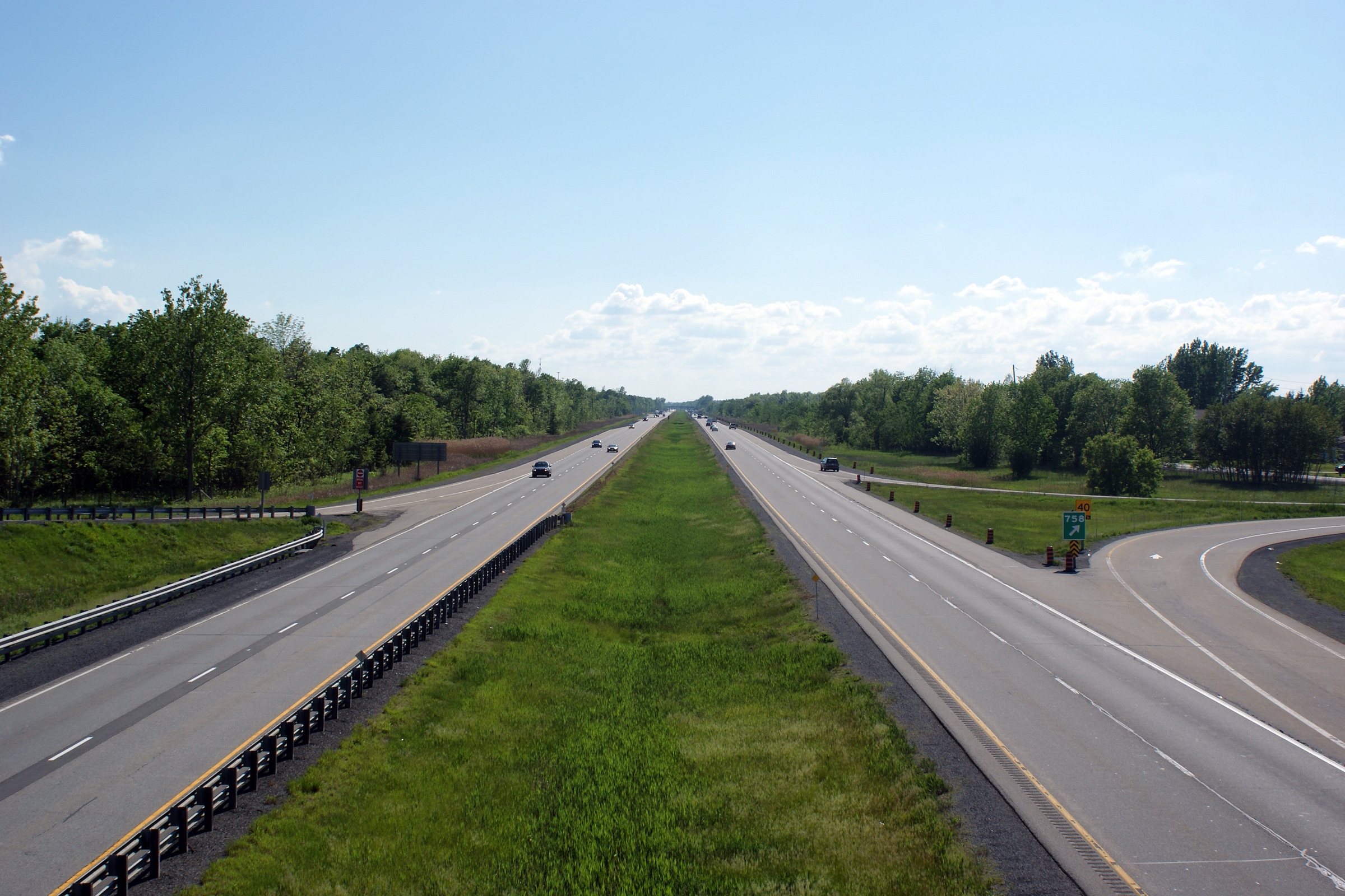
| City of Brockville |
Partial overhead advanced sign for the North Augusta Road interchange.
Notice the lack of exit tab due to the gantry design. Photographed by: Josh Anderchek. Taken: August 11th, 2007. |
|||
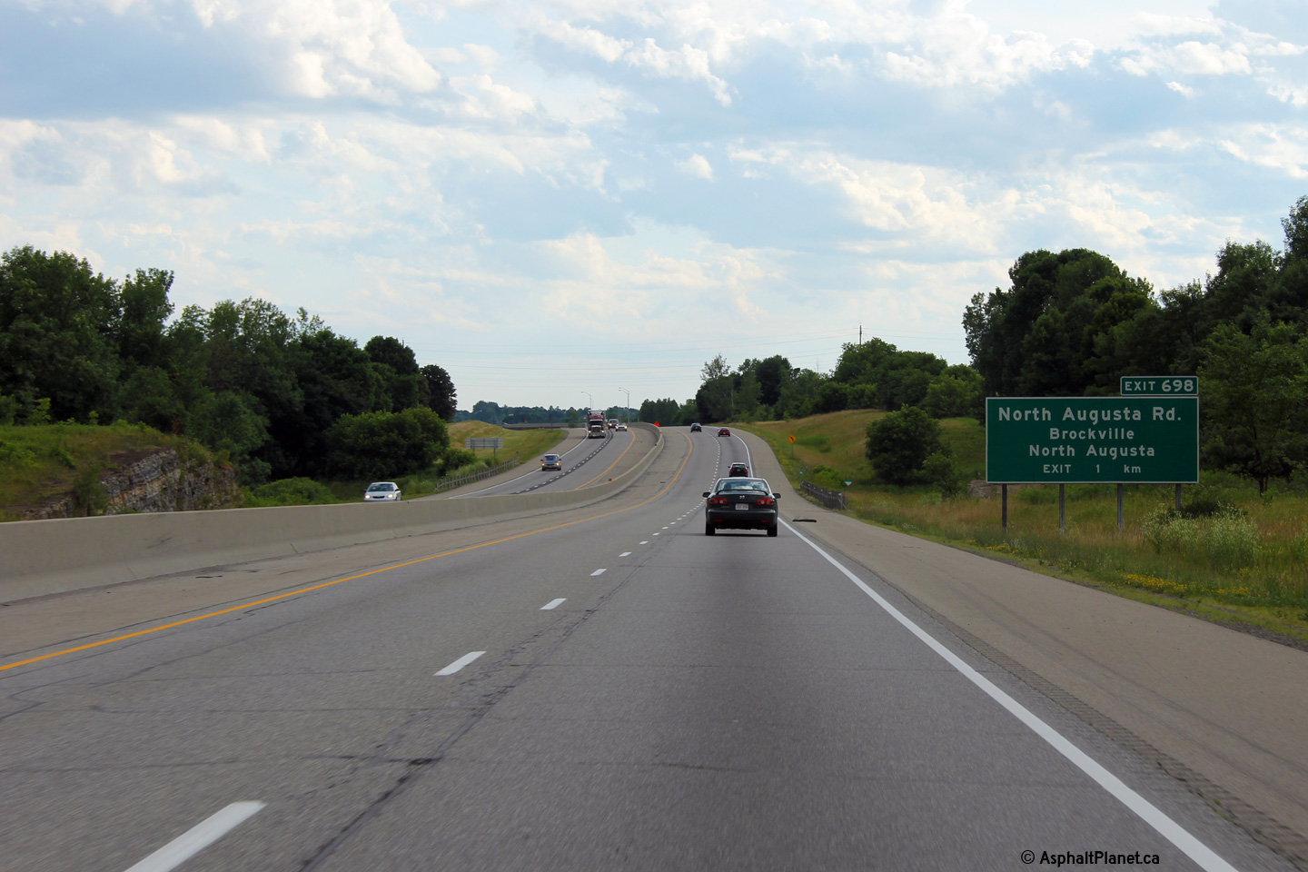
| City of Brockville |
Eastbound signage at the North Augusta Road interchange. Angled exit
signage such as this were once the norm on Ontario freeways, however they
have been phased out gradually since the 1980s. This is the last
angled sign to be situated on an overhead sign in the province. Photographed by: Josh Anderchek. Taken: August 11th, 2007. |
|||
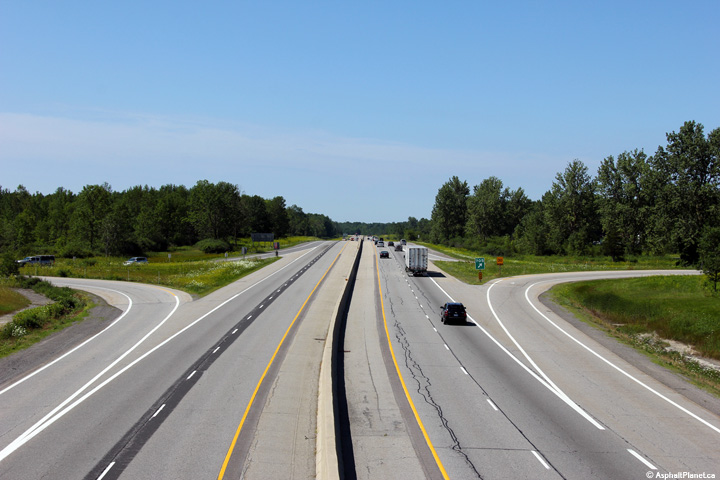
| City of Brockville |
Westerly view from the North Augusta Road overpass. The lands bordering
the North Augusta Road interchange along Highway 401 have become the
Brockville region's big-box shopping area. I was surprised at the
diversity of stores that were present for a city the size of Brockville. Photos taken: July 7th, 2009. |
 |
||
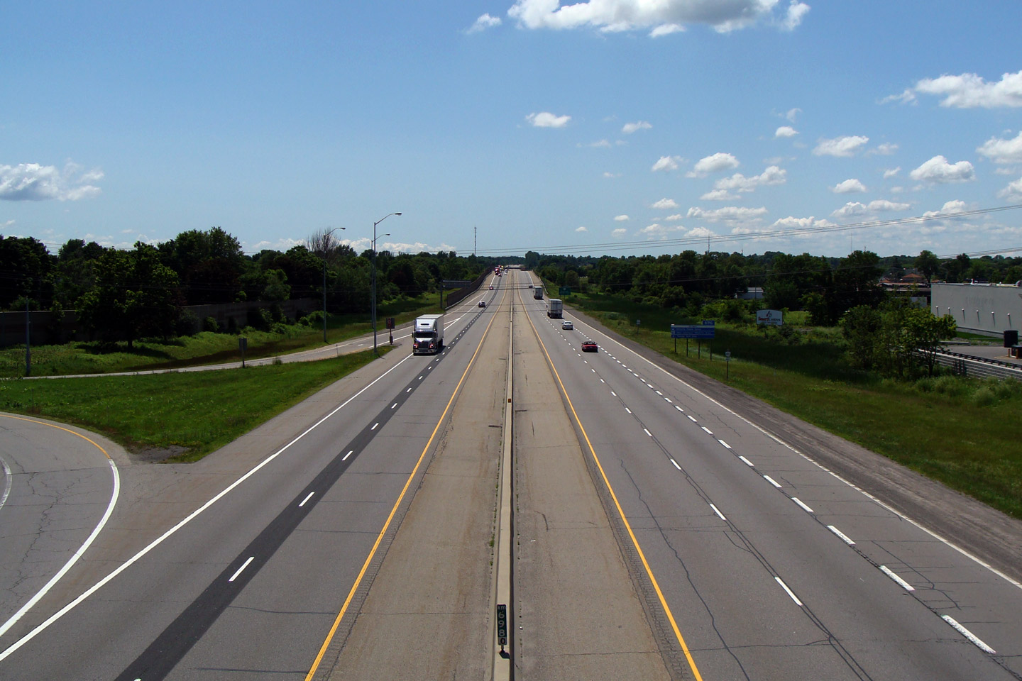
| City of Brockville |
View looking easterly from the North Augusta Road overpass in Brockville.
Notice the pavement change in the median just beyond the entrance from the
loop ramp. It was only in 2004 that the former grassed median was
replaced with tall-wall barrier. Photo taken: July 7th, 2009. |
 |
||
| City of Brockville |
Signage at the westbound off-ramp to North Augusta Road. Photo taken: July 2nd, 2012. |
 (720x480) (720x480)(1440x960) (2400x1600) |
||
| City of Brockville |
Westbound advanced signage approaching the North Augusta Road interchange. Photo taken: July 2nd, 2012. |
 (720x480) (720x480)(1440x960) (2400x1600) |
||
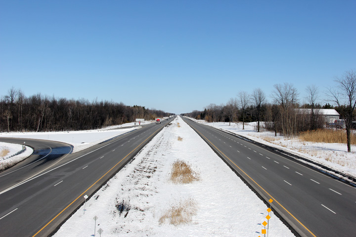
| Township or Elizabethtown - Kitley County of Leeds & Grenville |
View looking westerly towards Brockville from the Sharpe's Lane overpass.
Brockville is one of Ontario's oldest cities, featuring a historic and very
well kept downtown. For anybody not in a hurry traveling along Highway 401,
I would definitely recommend trying Highway 2 through Downtown as an
alternate to the freeway. Photo taken: July 7th, 2009. |
 |
||
| Township or Elizabethtown - Kitley County of Leeds & Grenville |
View looking easterly from Sharpe's Lane. It's just a short trip from
Brockville to Highway 416 and Ottawa. Photo taken: July 7th, 2009. |
 |
||
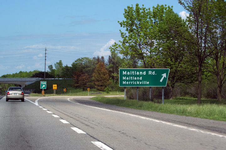
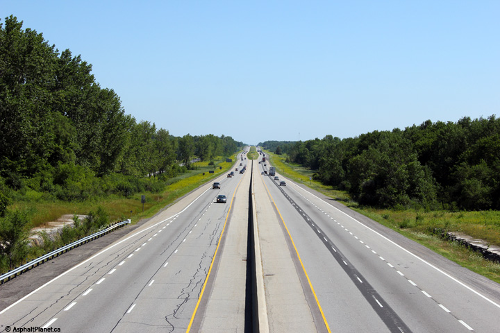
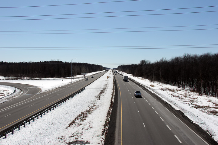
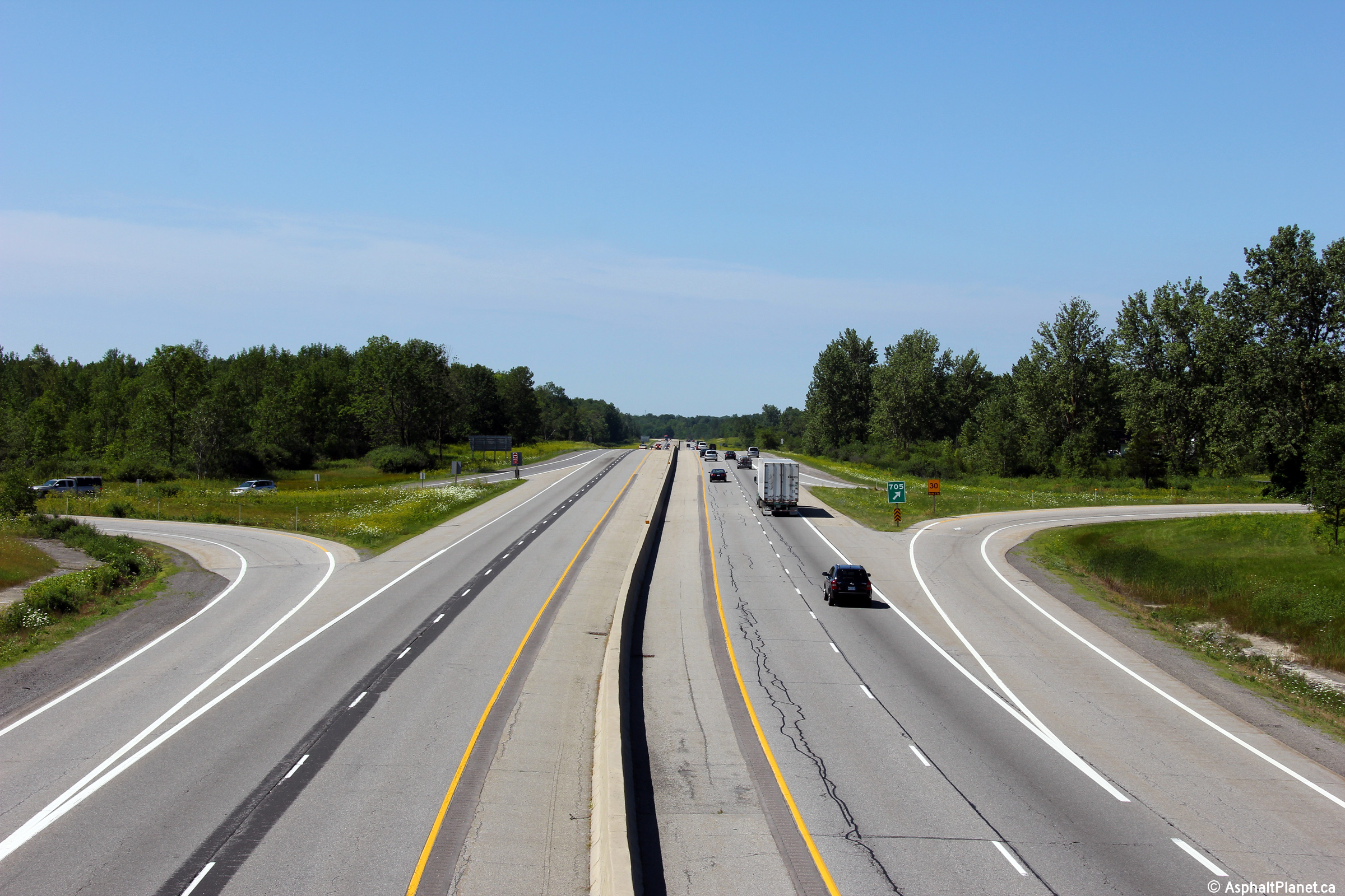
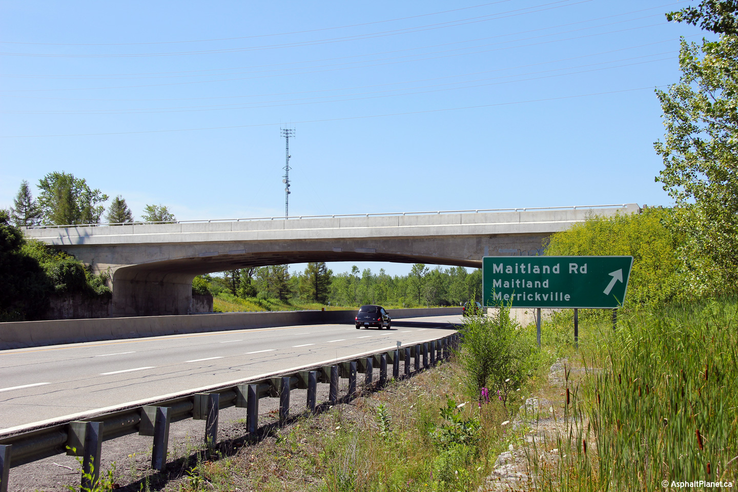
| Township of Augusta County of Leeds & Grenville |
Easterly view at the exit to Maitland Road. This angled signage was
replaced in the winter of 2012 with modern rectangular design. Photo taken: May 23rd, 2010. |
 (720x480) (720x480)(1440x960) (2400x1600) |
||
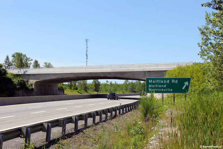
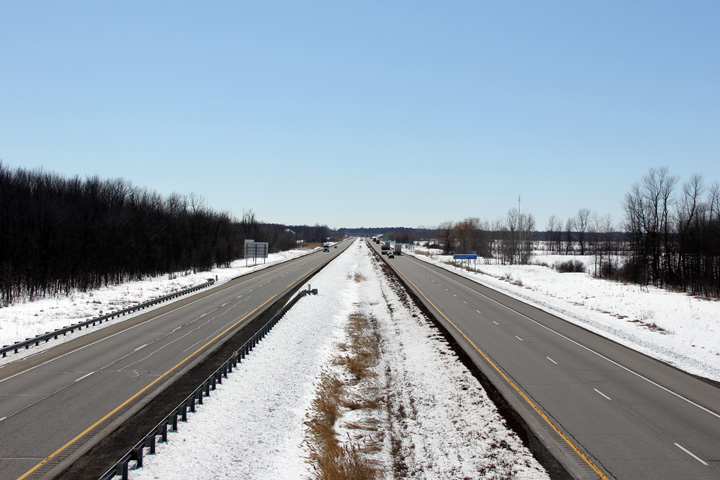
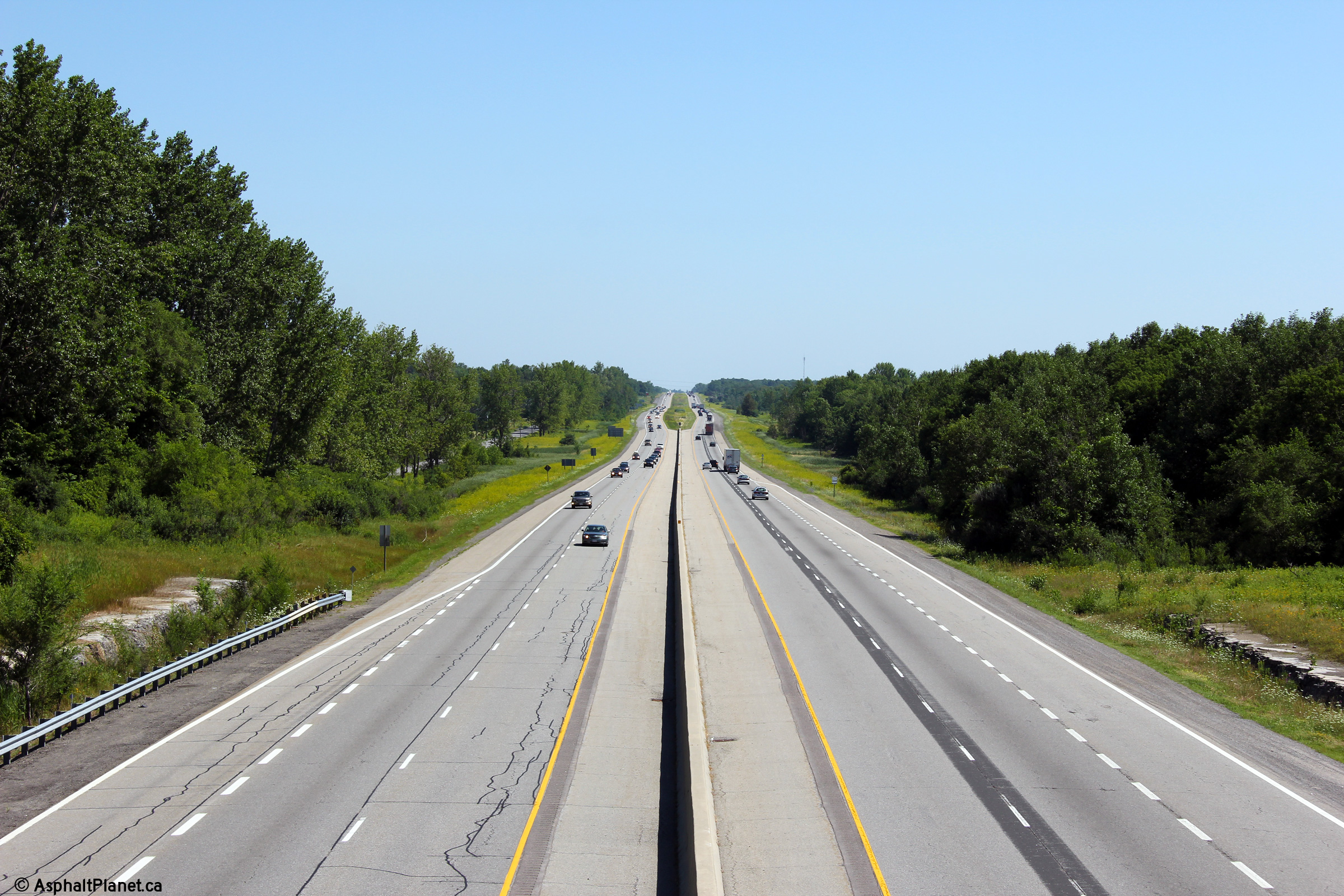
| Township of Augusta County of Leeds & Grenville |
Westerly view towards Brockville from the Maitland Road overpass. Photo taken: July 23rd, 2011. |
 (720x480) (1440x960) (2400x1600) |
||
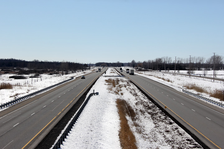
| Township of Augusta County of Leeds & Grenville |
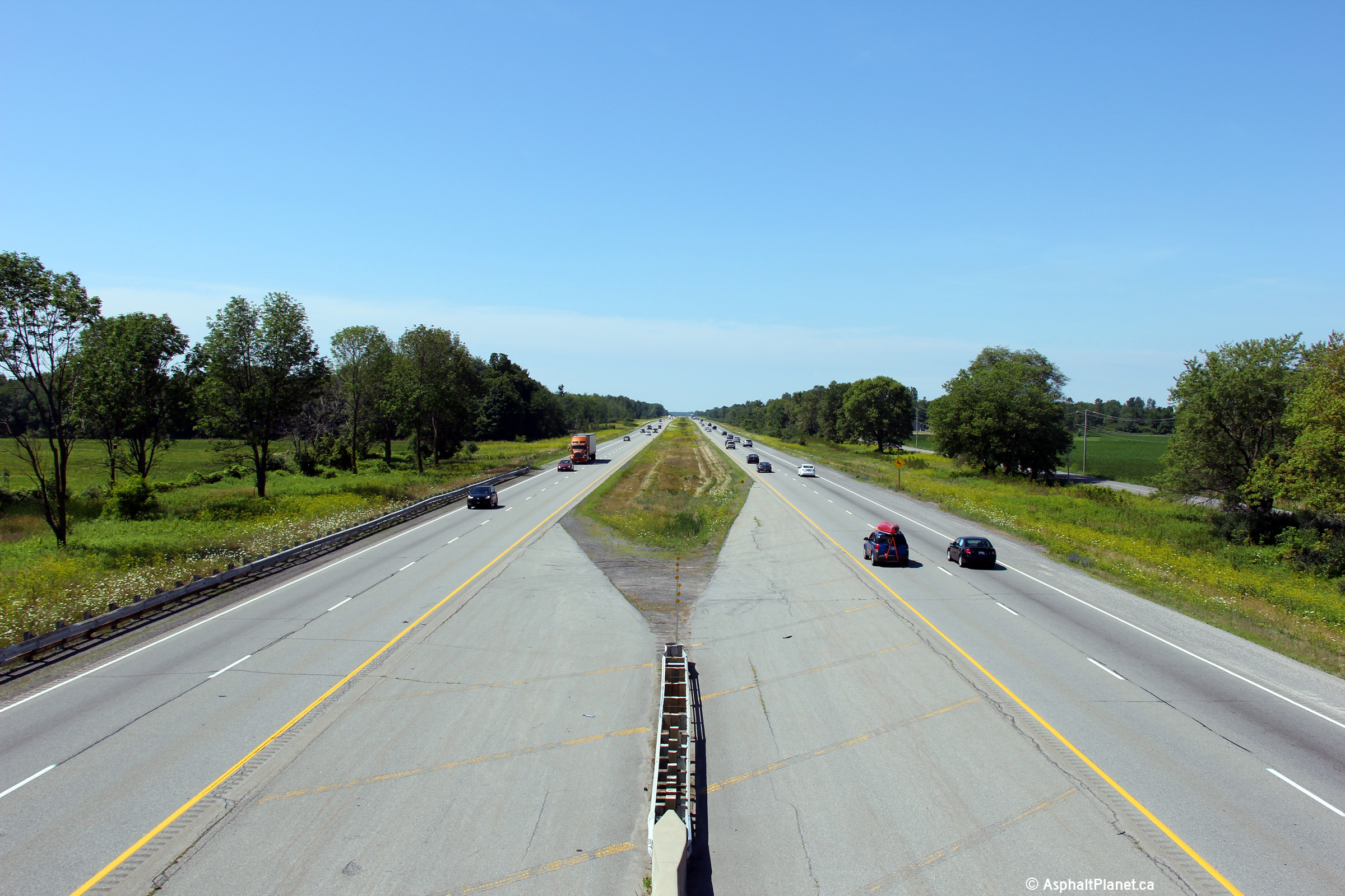
Easterly view from the Maitland Road overpass. The paved central
median ends a short distance east of the Maitland Road overpass. Photo taken: July 23rd, 2011. |
 (720x480) (1440x960) (2400x1600) |
||
| Township of Augusta County of Leeds & Grenville |
This view looks westerly towards the Maitland Road overpass. Photo taken: July 23rd, 2011. |
 (720x480) (720x480)(1440x960) (2400x1600) |
||
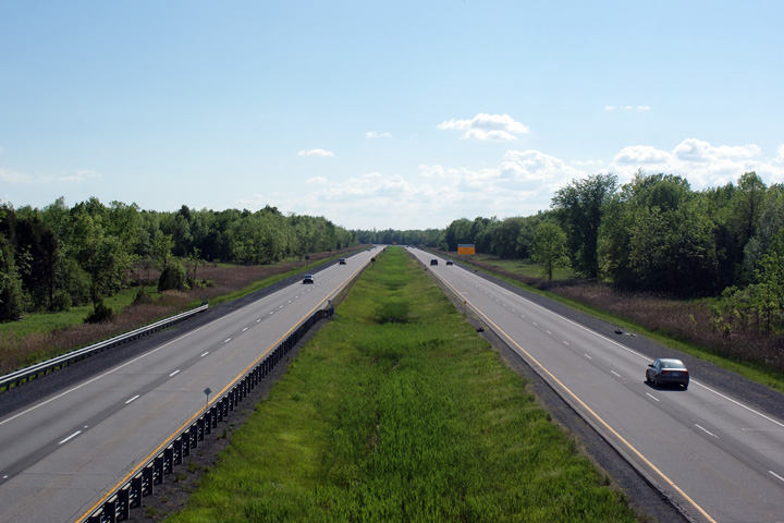
| Township of Augusta County of Leeds & Grenville |
Westerly view from the Blue Church Road overpass. Photo taken: July 23rd, 2011. |
 (720x480) (1440x960) (2400x1600) |
||
| Township of Augusta County of Leeds & Grenville |
Easterly view from the Blue Church Road overpass. Photo taken: July 23rd, 2011. |
 (720x480) (1440x960) (2400x1600) |
||
| Township of Augusta County of Leeds & Grenville |
Easterly view approaching the Merwin Lane overpass. In 2014, when this
photo was taken, the Merwin Lane overpass still retained its 1960s era steel
railings. Photo taken: March 31st, 2014. |
 (720x480) (720x480)(1440x960) (2400x1600) |
||
| Township of Augusta County of Leeds & Grenville |
View looking westerly from the Merwin Lane overpass. Photo taken: July 23rd, 2011. |
 (720x480) (1440x960) (2400x1600) |
||
| Township of Augusta County of Leeds & Grenville |
Easterly view towards the Edward Street interchange from Merwin Lane. Photo taken: July 23rd, 2011. |
 (720x480) (1440x960) (2400x1600) |
||
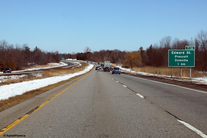
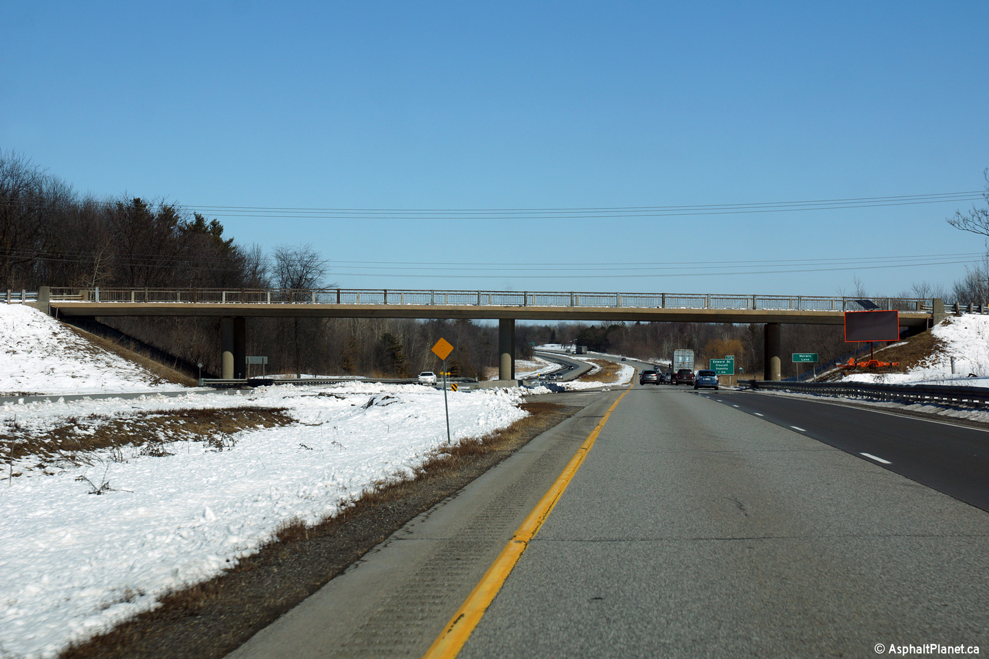
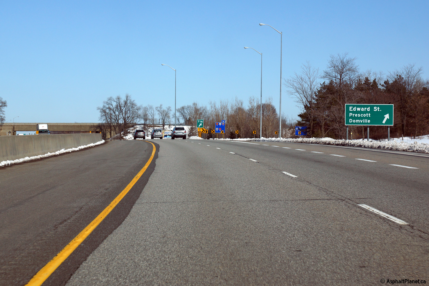
| Town of Prescott County of Leeds & Grenville |
Advanced signage for the Edward Street interchange in Prescott. Photo taken: March 31st, 2014. |
 (720x480) (720x480)(1440x960) (2400x1600) |
||
| Town of Prescott County of Leeds & Grenville |
Easterly view at the Prescott Street interchange. Photo taken: March 31st, 2014. |
 (720x480) (720x480)(1440x960) (2400x1600) |
||
| Town of Prescott County of Leeds & Grenville |
View looking westerly from the Edward Street overpass in Prescott. Photo taken: July 23rd, 2011. |
 (720x480) (1440x960) (2400x1600) |
||
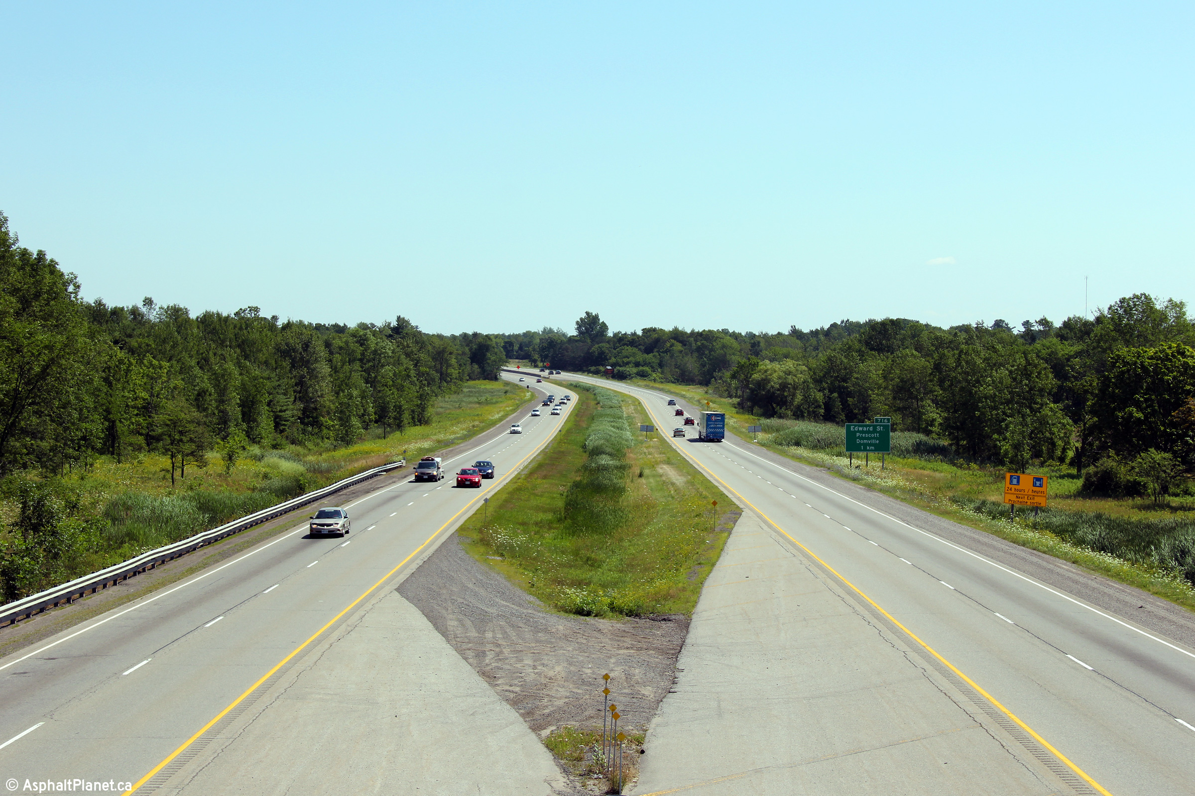
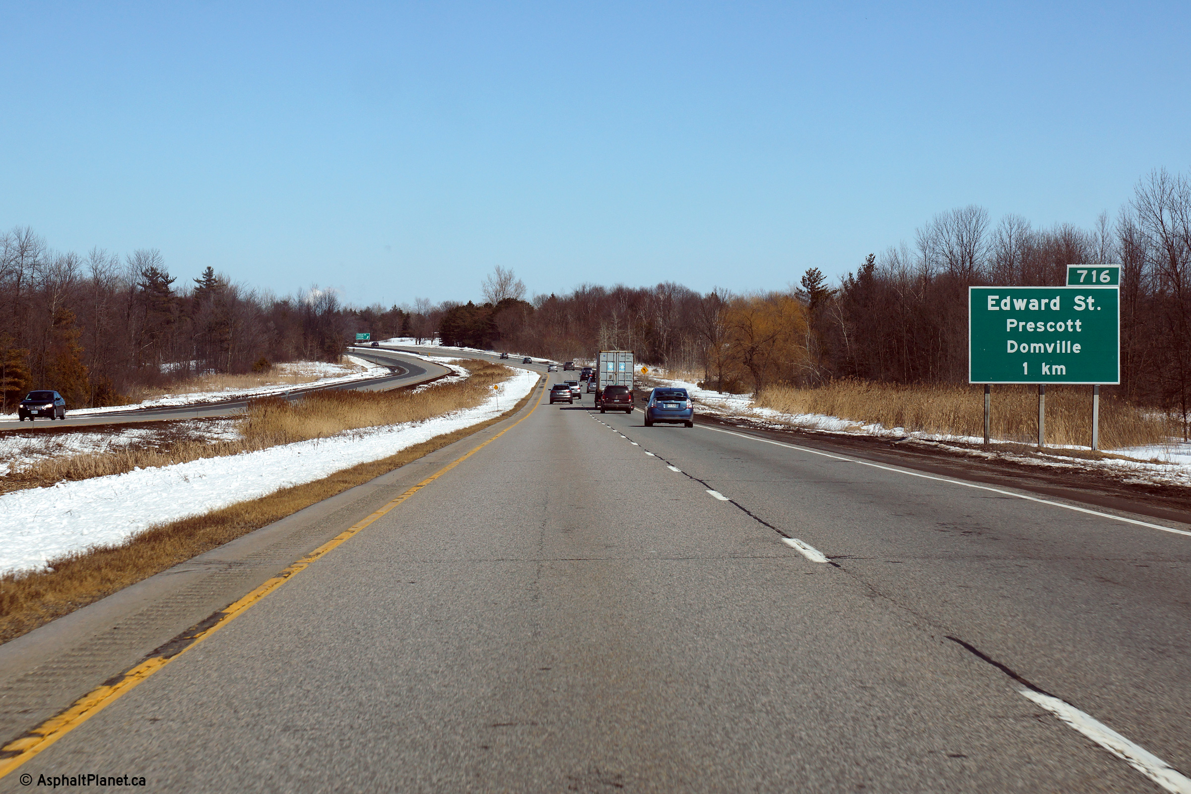
| Town of Prescott County of Leeds & Grenville |
Easterly view towards the Highway 416 interchange from the Edward Street
overpass. Photo taken: July 23rd, 2011. |
 (720x480) (1440x960) (2400x1600) |
||
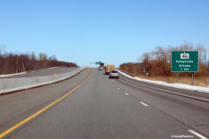
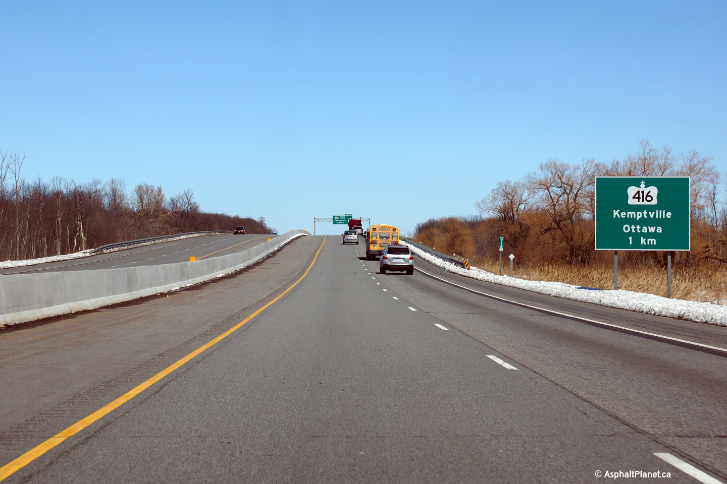
| Township of Edwardsburgh / Cardinal County of Leeds & Grenville |
Ground mounted 1km advanced sign along Highway 401 in advance of the Highway
416 interchange. Photo taken: March 31st, 2014. |
|||
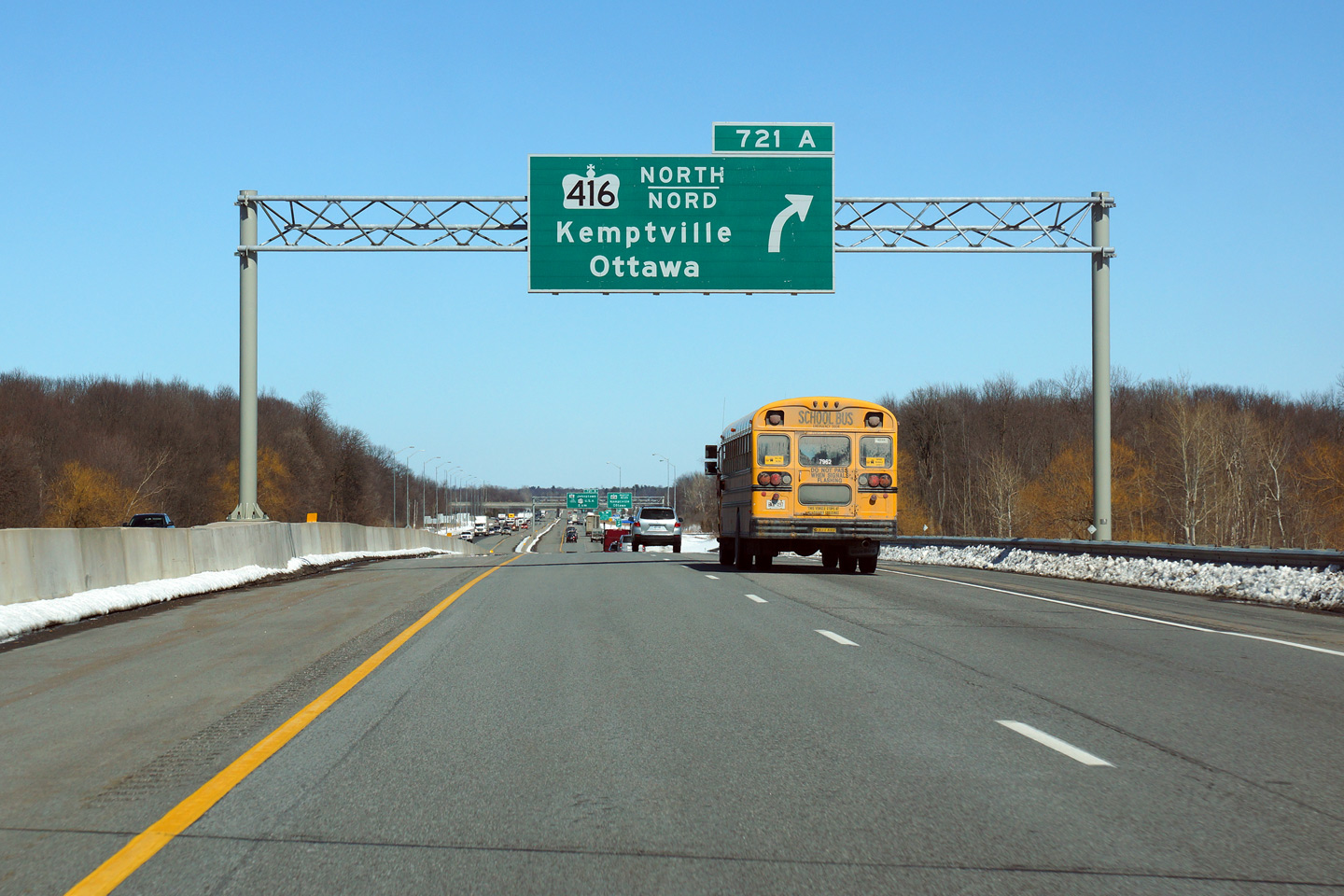
| Township of Edwardsburgh / Cardinal County of Leeds & Grenville |
Overhead advanced signage for the ramp to
Highway 416 north. Highway 416 was given the same exit number as
Highway 16 despite the fact that the interchanges are almost 2km apart from each
other. Photo taken: March 31st, 2014. |
|||
| Township of Edwardsburgh / Cardinal County of Leeds & Grenville |
Highway 401 driving east at the
Highway 416 interchange near Prescott. The ramp from the EB 401 to the
NB 416 is a very modern high-speed flyover. The flyover has a 130km/h
design speed, and features an anti-icing technology that sprays a chemical
deicer over the road surface when the temperature drops near the freezing
mark. This de-icing system is known as FAST (Fixed anti-icing spray
technology). |
|||
| Highway 416 replaced Highway 16 as the main route between Ottawa and the 401. Click here for Highway 416 images. | ||||
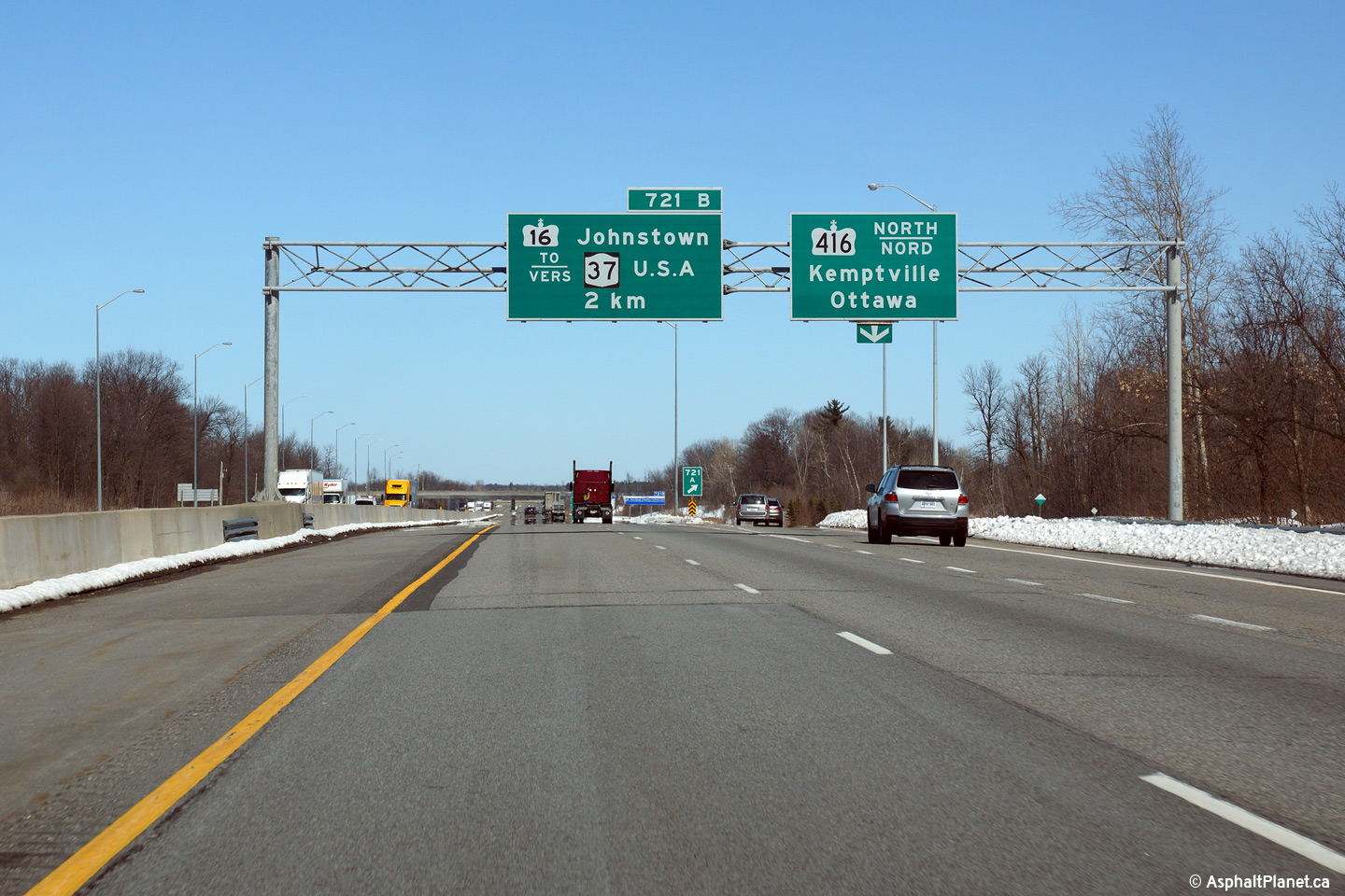
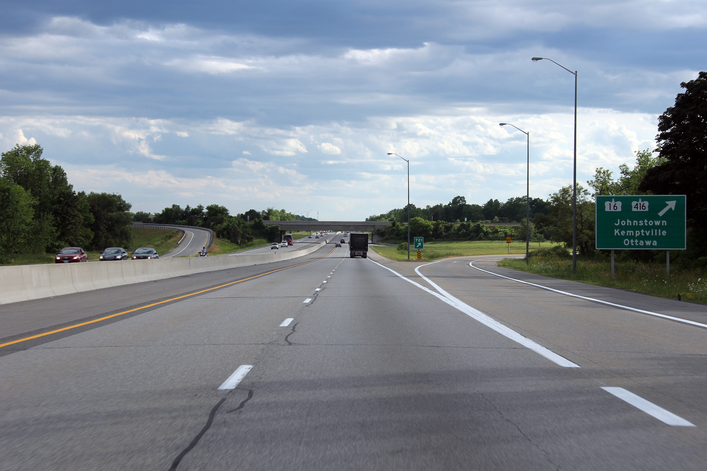
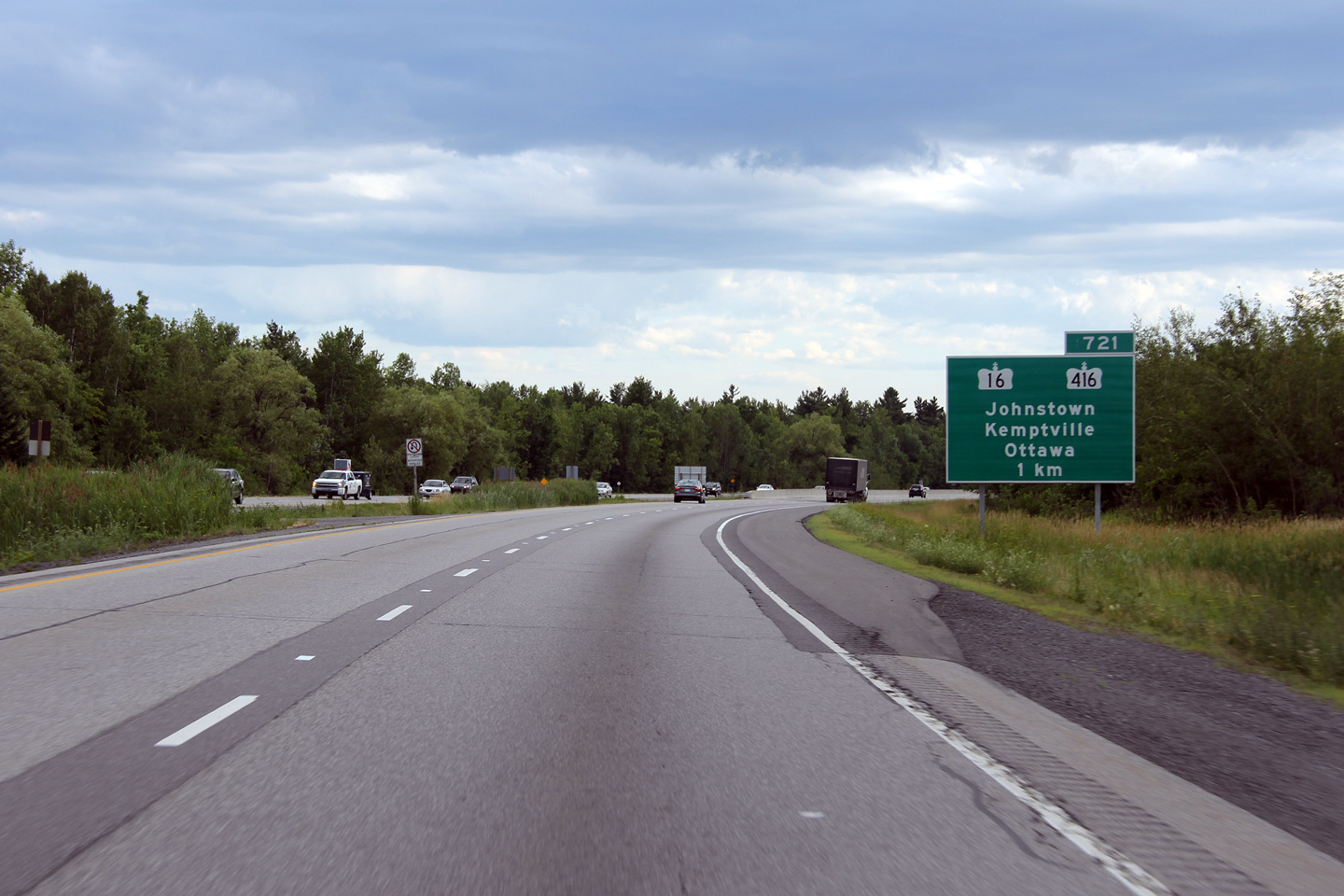
| Township of Edwardsburgh / Cardinal County of Leeds & Grenville |
Eastbound advanced signage for the Highway 16 interchange. The high-speed flyover ramp to Highway 416 is visible in the background.
Photo taken: March 31st, 2014. |
|||
| Township of Edwardsburgh / Cardinal County of Leeds & Grenville |
Signage at the eastbound off-ramp to Highway 16. Photo taken: March 31st, 2014. |
 (720x480) (720x480)(1440x960) (2400x1600) |
||
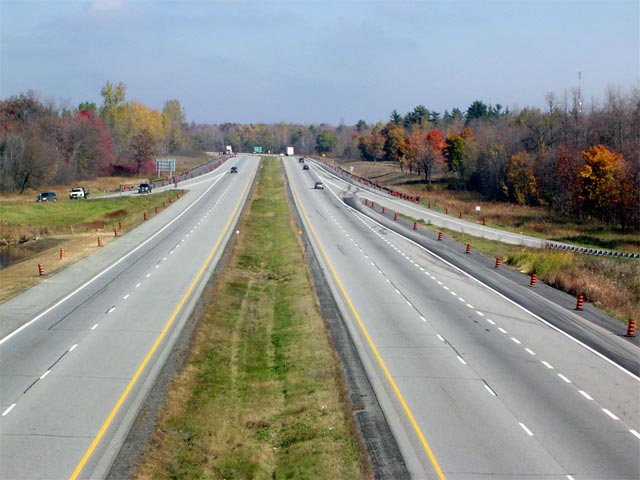
| Township of Edwardsburgh / Cardinal County of Leeds & Grenville |
View looking westerly from the Highway 16 overpass along Highway 401.
The central barrier was added shortly after the 2004 photo was taken. Upper photo taken: October 22nd, 2004. Lower photo taken: May 23rd, 2010. |
 |
||
| Highway 16 is now a short Highway connecting Highway 2 and the Prescott-Ogdensburg Bridge to Highway's 401 and 416. Click here for Highway 16 images. | ||||
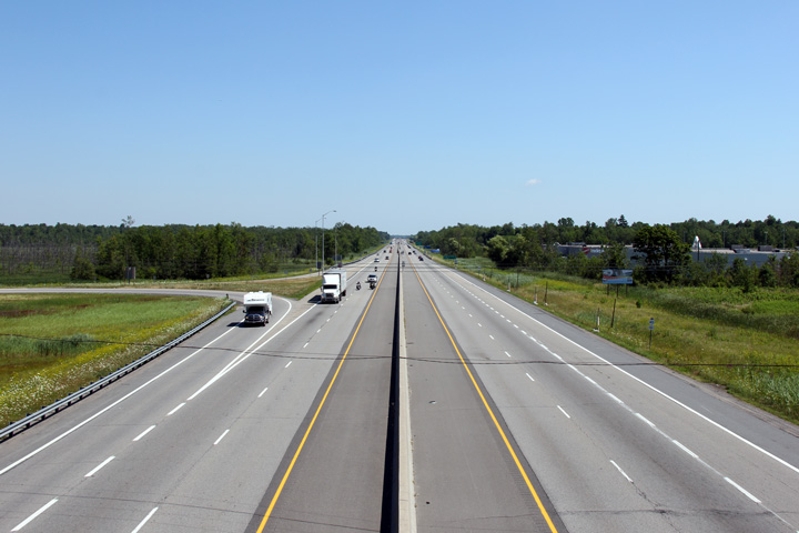
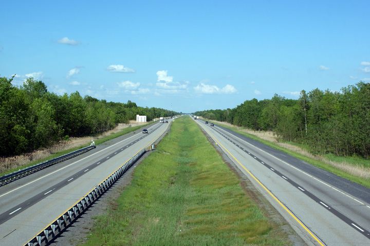
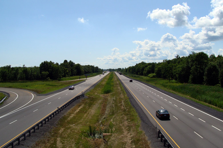
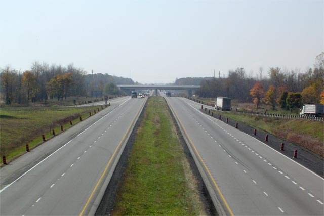
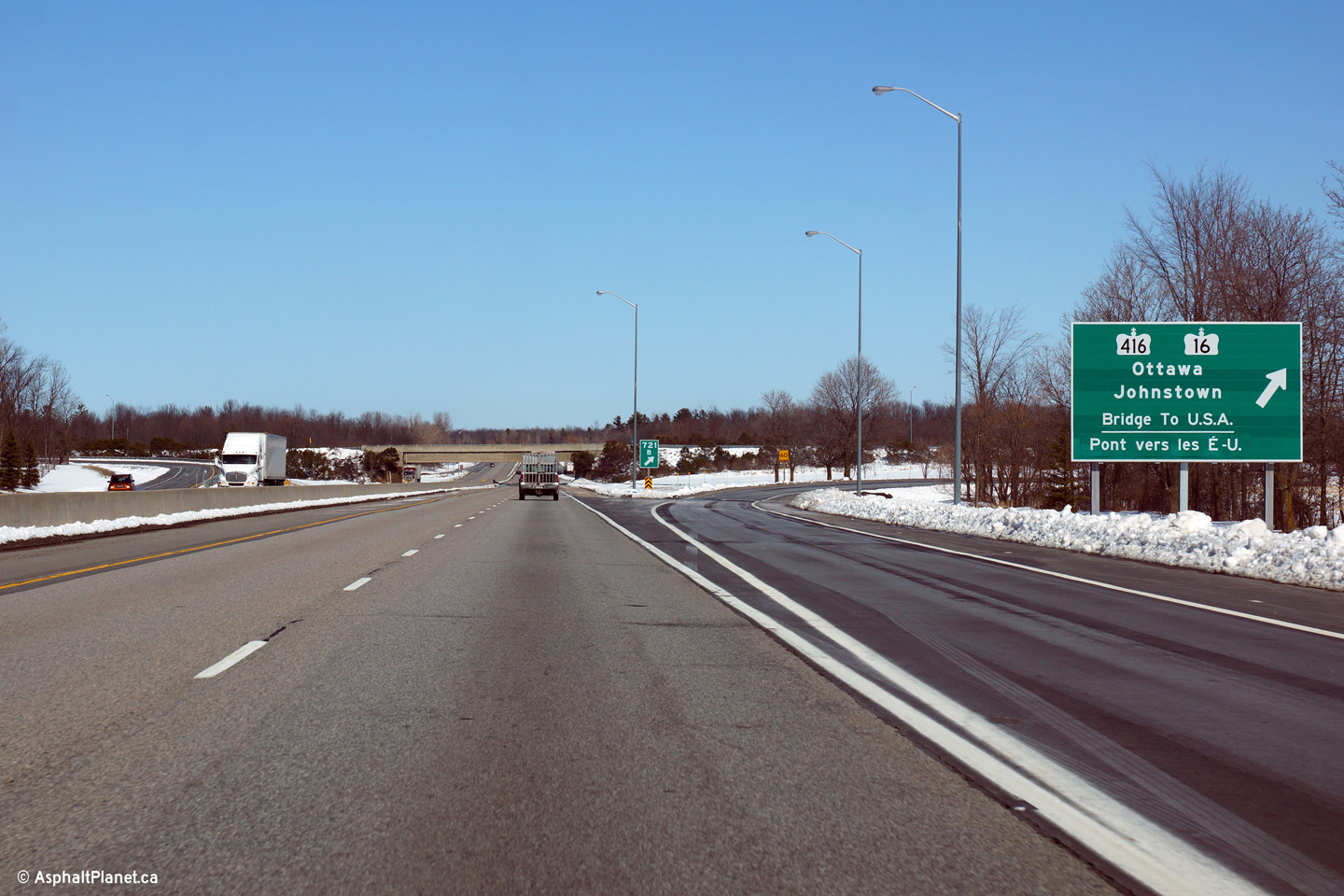
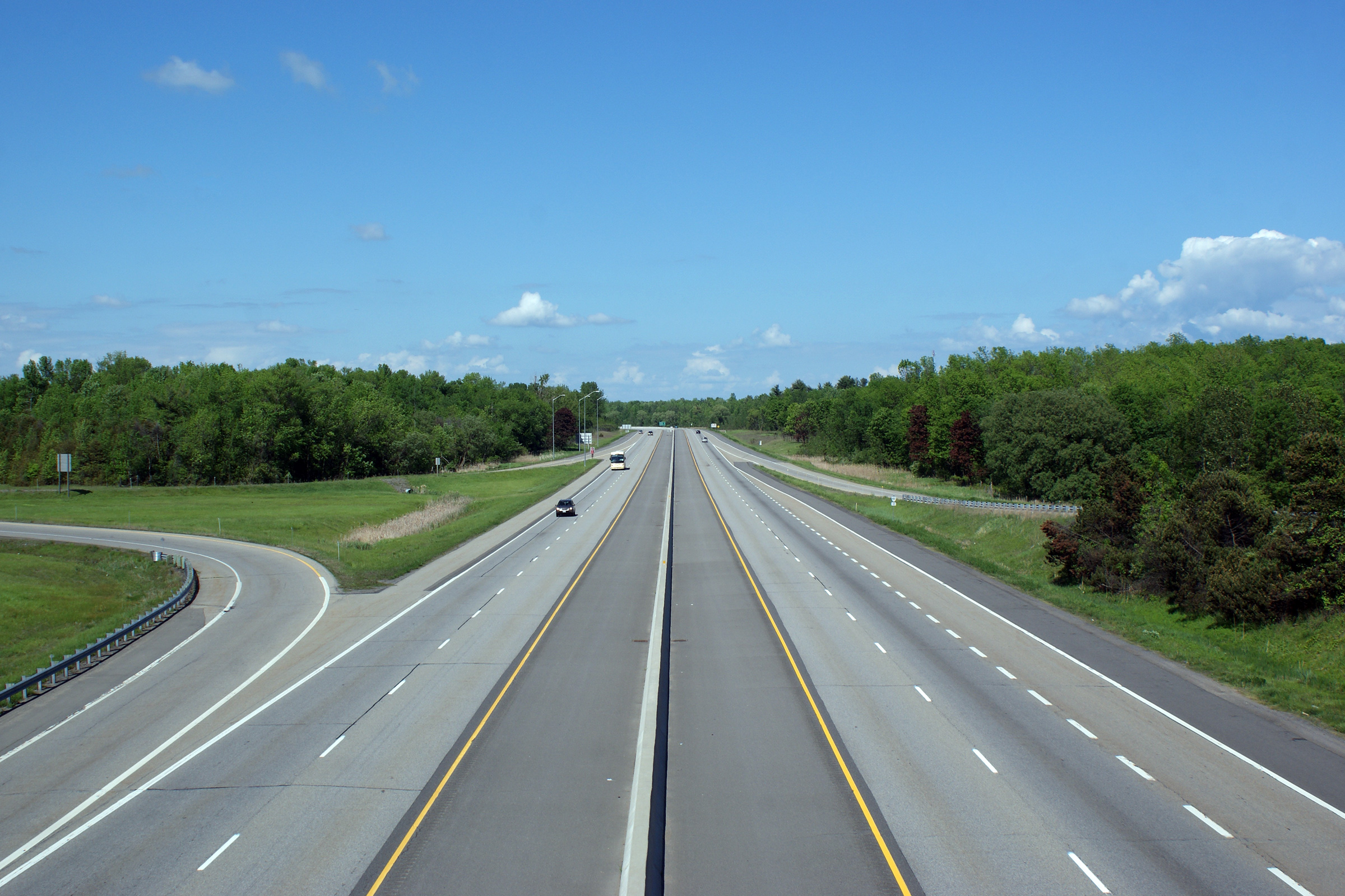
| Township of Edwardsburgh / Cardinal County of Leeds & Grenville |
Highway 401 looking east from the Highway 16 overpass near Johnstown. Traffic along Highway 401 is fairly light east of this interchange as about one third of all traffic heading eastbound on the 401 heads north at the 416 towards Ottawa.
Upper photo taken: October 22nd, 2004.
Lower photo taken: May 23rd, 2010. |
|
||
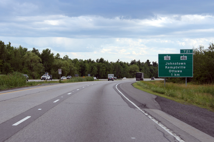
| Township of Edwardsburgh / Cardinal County of Leeds & Grenville |
Westbound guide signage for the ramp to Highway 16. Photo taken: July 2nd, 2012. |
 (720x480) (720x480)(1440x960) (2400x1600) |
||
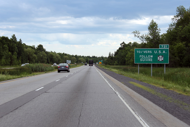
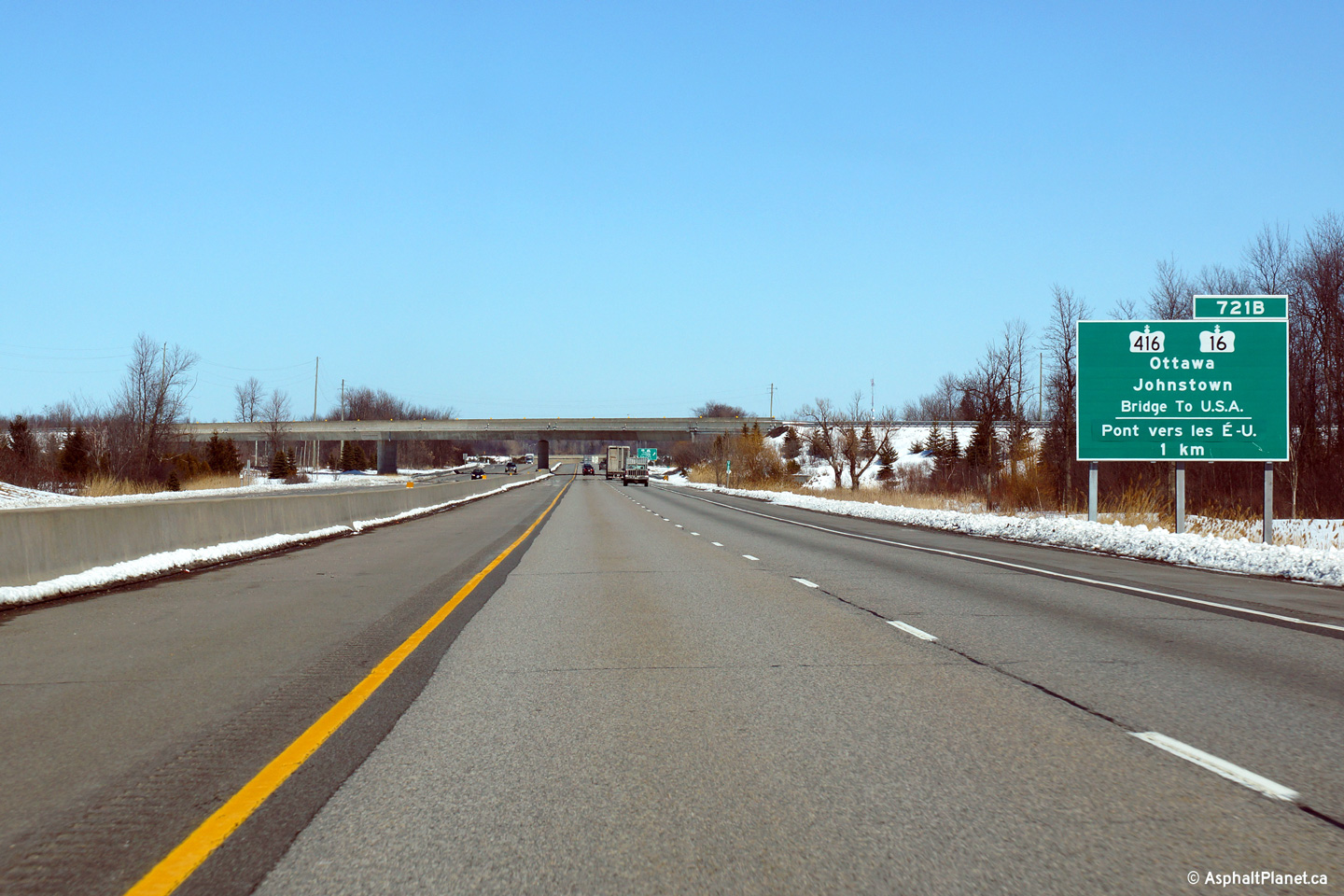
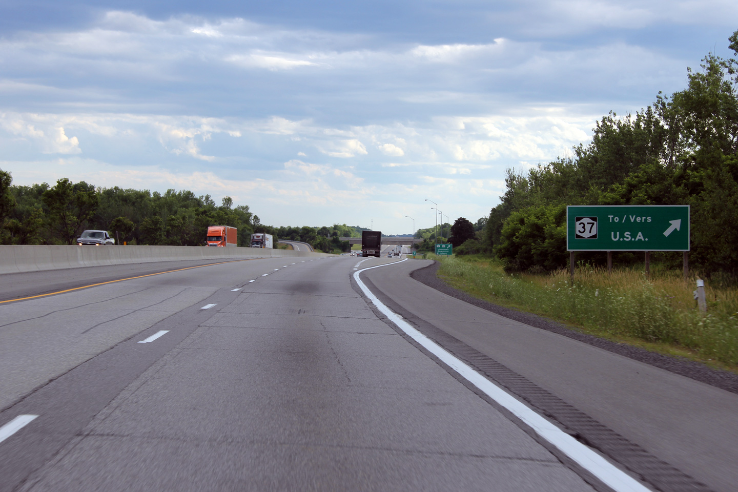
| Township of Edwardsburgh / Cardinal County of Leeds & Grenville |
A standalone sign directs westbound motorists to the New York Highway
37 via the Prescott-Ogdensburg Bridge. Photo taken: July 2nd, 2012. |
 (720x480) (720x480)(1440x960) |
||
| Township of Edwardsburgh / Cardinal County of Leeds & Grenville |
Advanced signage for the Highway 16 interchange. Photo taken: July 2nd, 2012. |
 (720x480) (720x480)(1440x960) |
||
| Township of Edwardsburgh / Cardinal County of Leeds & Grenville |
Advanced signage directing USA bound traffic to follow signs for New York
Highway 37. Photo taken: July 2nd, 2012. |
 (720x480) (720x480)(1440x960) |
||
| Township of Edwardsburgh / Cardinal County of Leeds & Grenville |
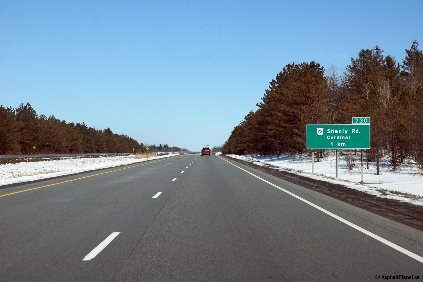
Eastbound advanced signage at the off-ramp to Shanly Road. Shanly Road
is the first off-ramp east of the Highway 16 interchange. Photo taken: March 31st, 2014. |
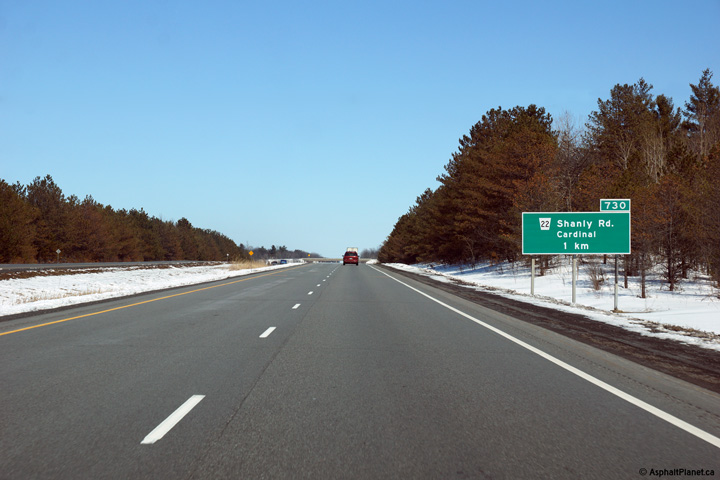 (720x480) (720x480)(1440x960) (2400x1600) |
||
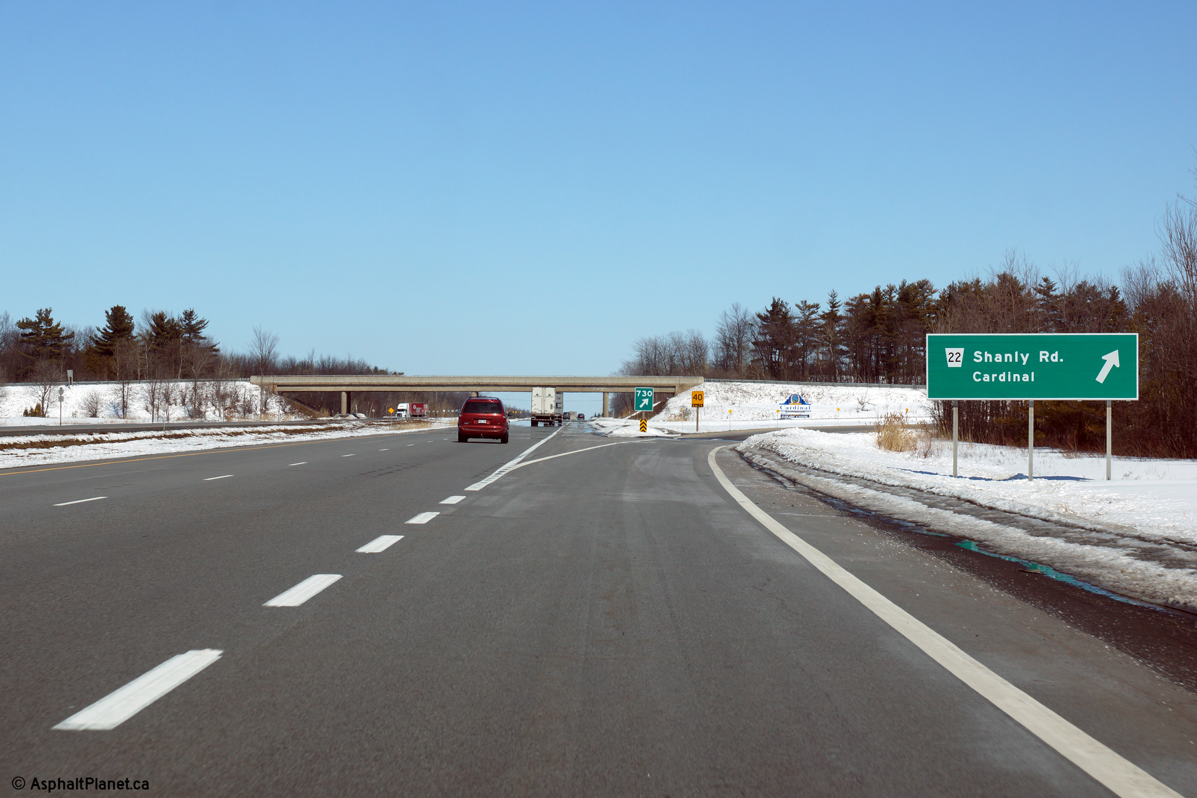
| Township of Edwardsburgh / Cardinal County of Leeds & Grenville |
View at the eastbound off-ramp to Shanly Road. Photo taken: March 31st, 2014. |
 (720x480) (720x480)(1440x960) (2400x1600) |
||
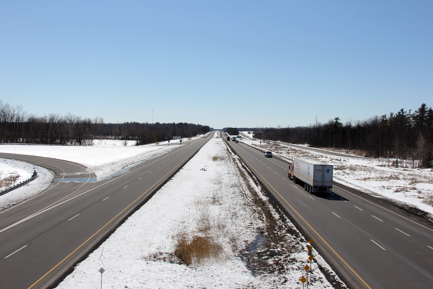
| Township of Edwardsburgh / Cardinal County of Leeds & Grenville |
View looking westerly from Shanly Road. Photo taken: March 31st, 2014. |
 (720x480) (1440x960) (2400x1600) |
||
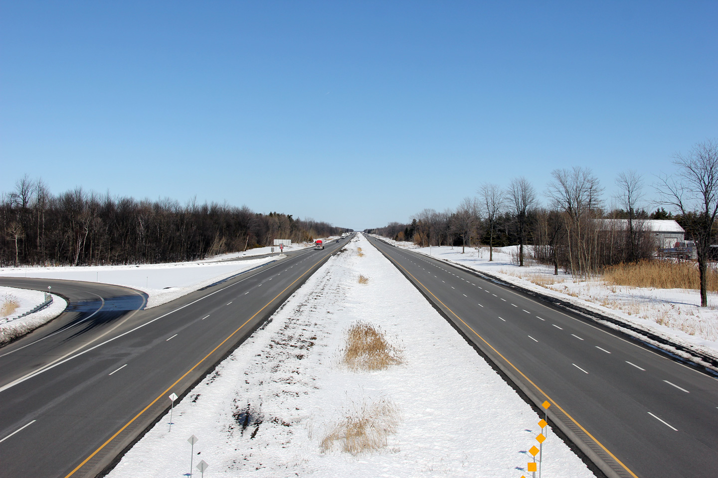
| Township of South Dundas United Counties of Stormont, Dundas and Glengarry |
Easterly view from Shanly Road. Photo taken: March 31st, 2014. |
 (720x480) (1440x960) (2400x1600) |
||
| Township of South Dundas United Counties of Stormont, Dundas and Glengarry |
This view looks westerly from the Carman Road overpass. Photo taken: March 31st, 2014. |
 (720x480) (1440x960) (2400x1600) |
||
| Township of South Dundas United Counties of Stormont, Dundas and Glengarry |
View looking easterly
towards Montreal from the Carman Road overpass. Photo taken: March 31st, 2014. |
 (720x480) (1440x960) (2400x1600) |
||
| Township of South Dundas United Counties of Stormont, Dundas and Glengarry |
Westerly view towards the Carman Road interchange from Brinston Road. Photo taken: March 31st, 2014. |
 (720x480) (1440x960) (2400x1600) |
||
| Township of South Dundas United Counties of Stormont, Dundas and Glengarry |
View towards the east from Brinston Road. Photo taken: March 31st, 2014. |
 (720x480) (1440x960) (2400x1600) |
||
| Township of South Dundas United Counties of Stormont, Dundas and Glengarry |
Westerly view from Flagg Road. Photo taken: March 31st, 2014. |
 (720x480) (1440x960) (2400x1600) |
||
| Township of South Dundas United Counties of Stormont, Dundas and Glengarry |
Easterly view from Flagg Road. Photo taken: March 31st, 2014. |
 (720x480) (1440x960) (2400x1600) |
||
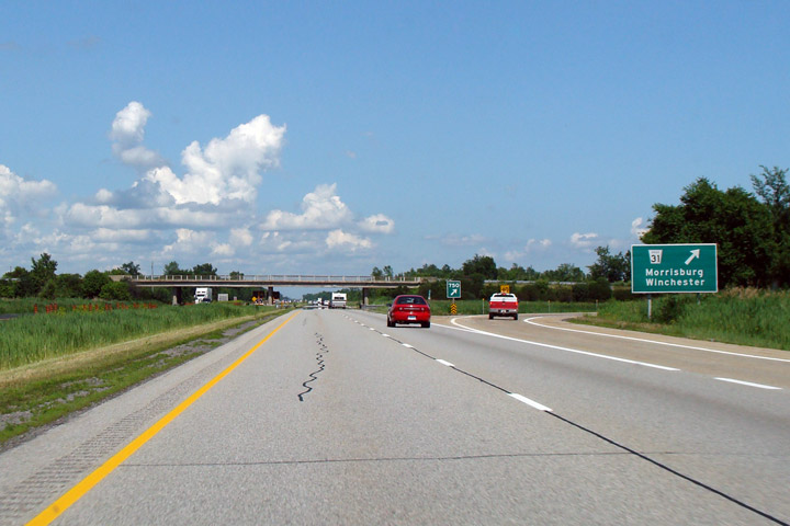
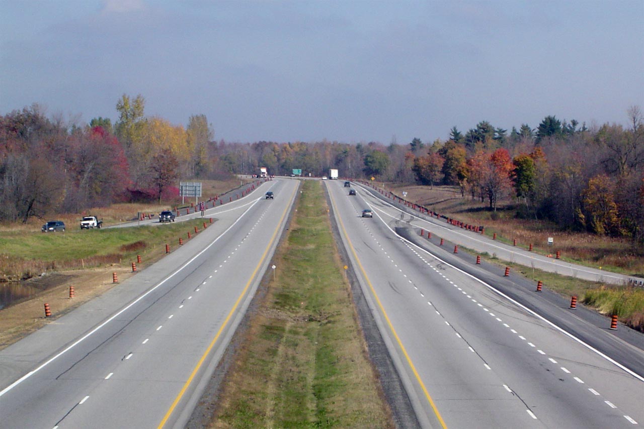
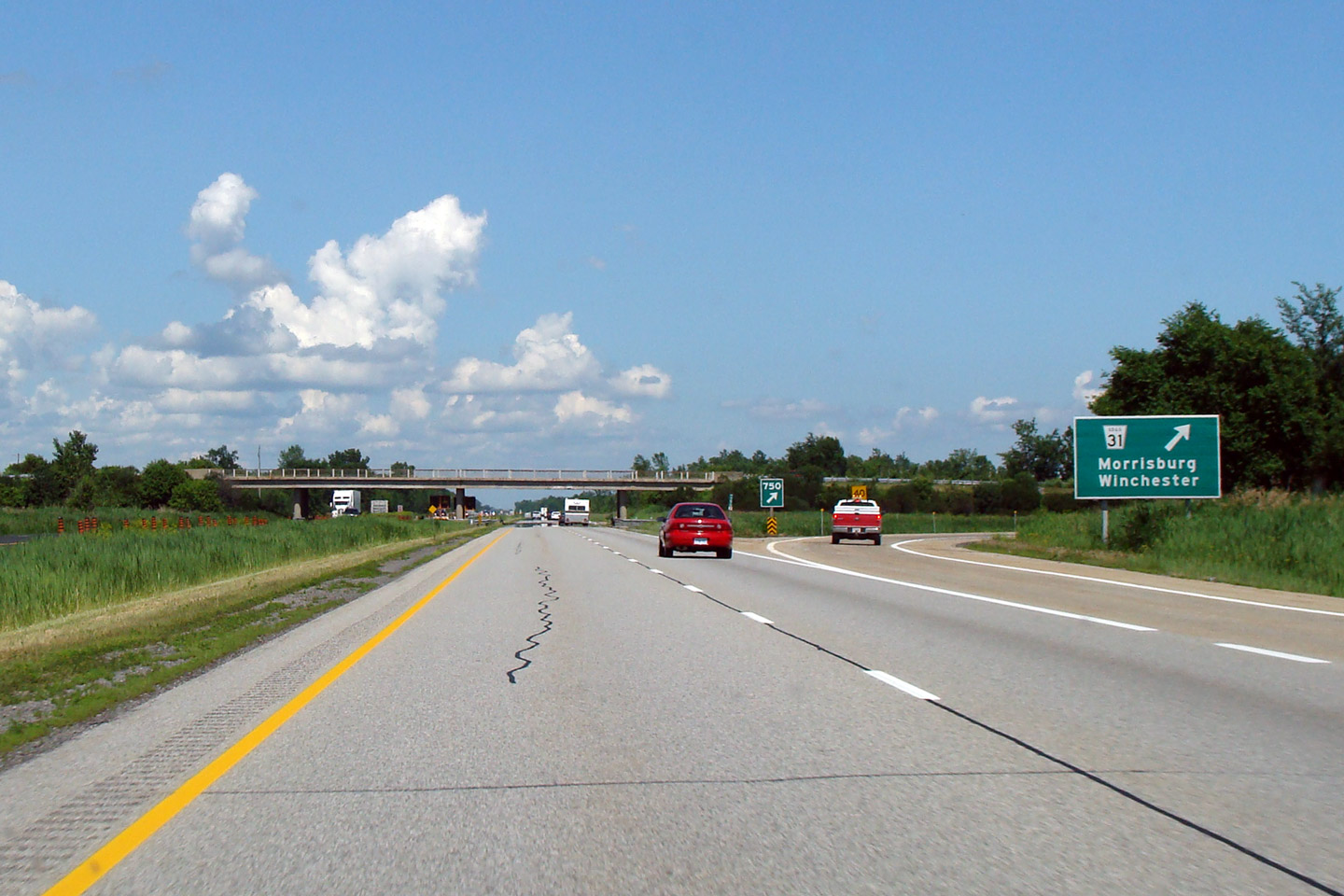
| Township of South Dundas United Counties of Stormont, Dundas and Glengarry |
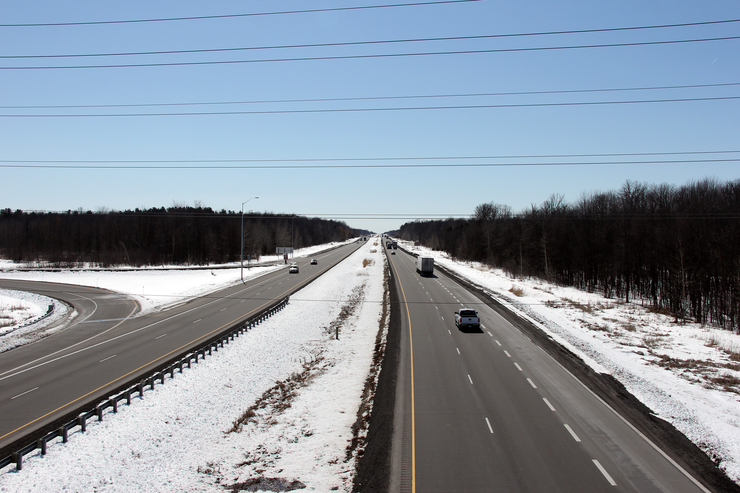
View of the signage for what was Highway 31 before 1998. Highway 31
served as the secondary route to Ottawa from Highway 2 before Highways 417
and 138 were constructed in the 1970s. Photo taken: July 9th, 2009. |
 (720x480) (720x480)(1440x960) |
||
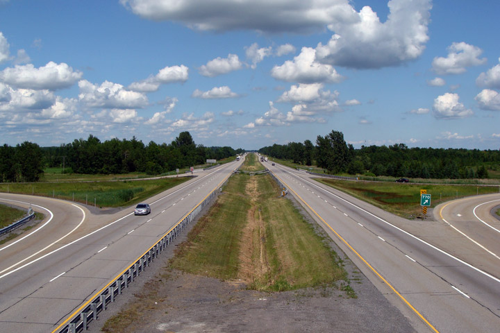
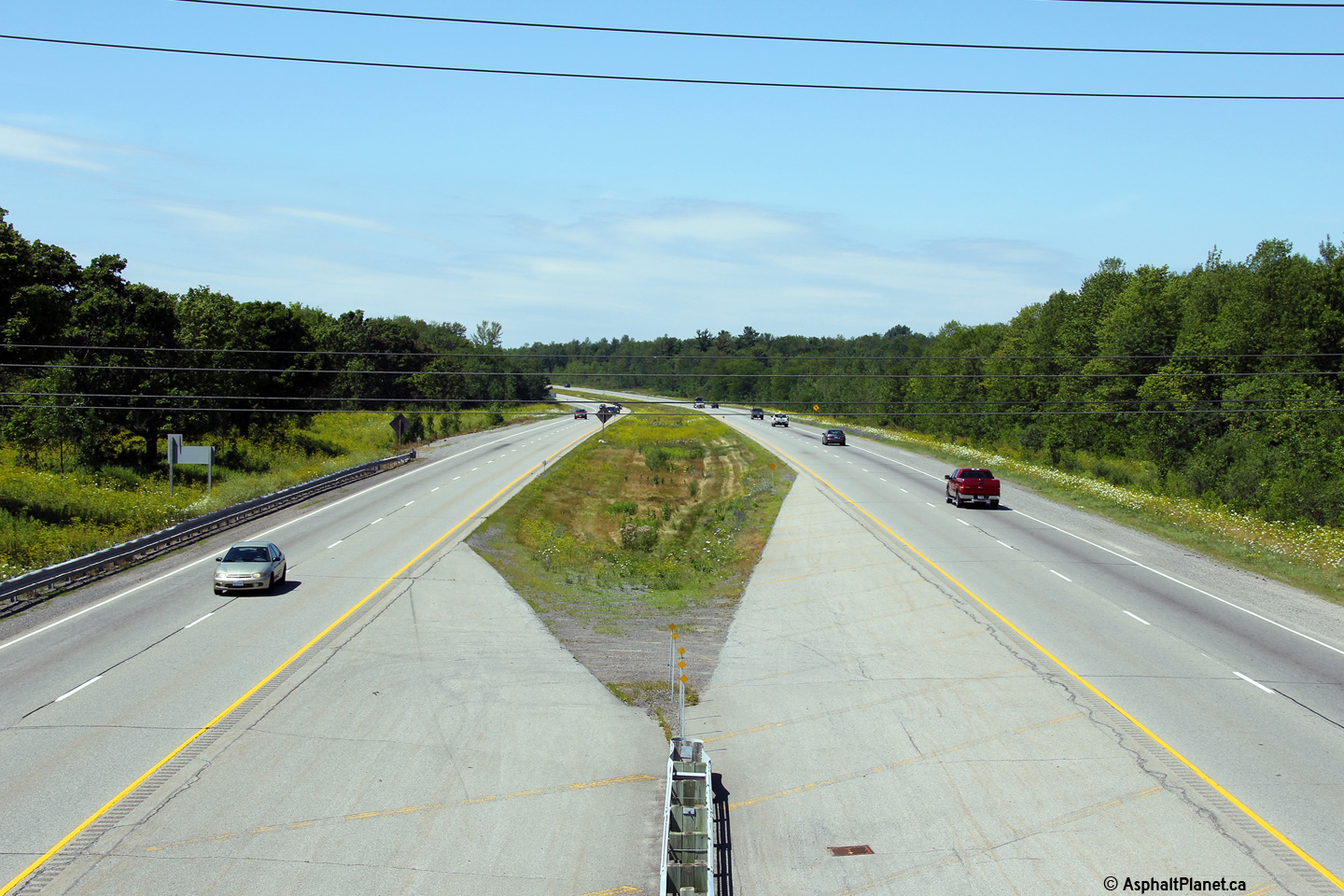
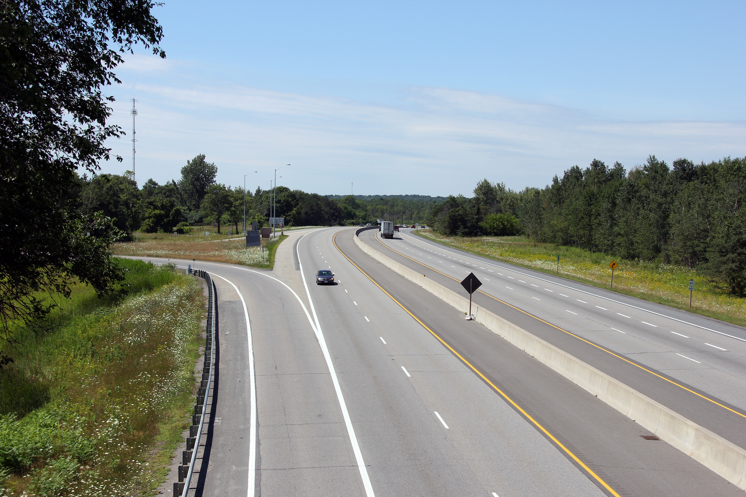
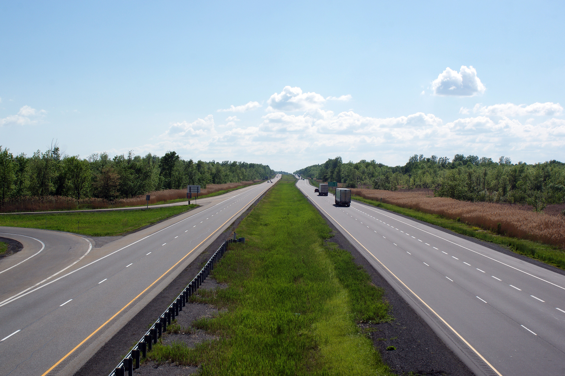
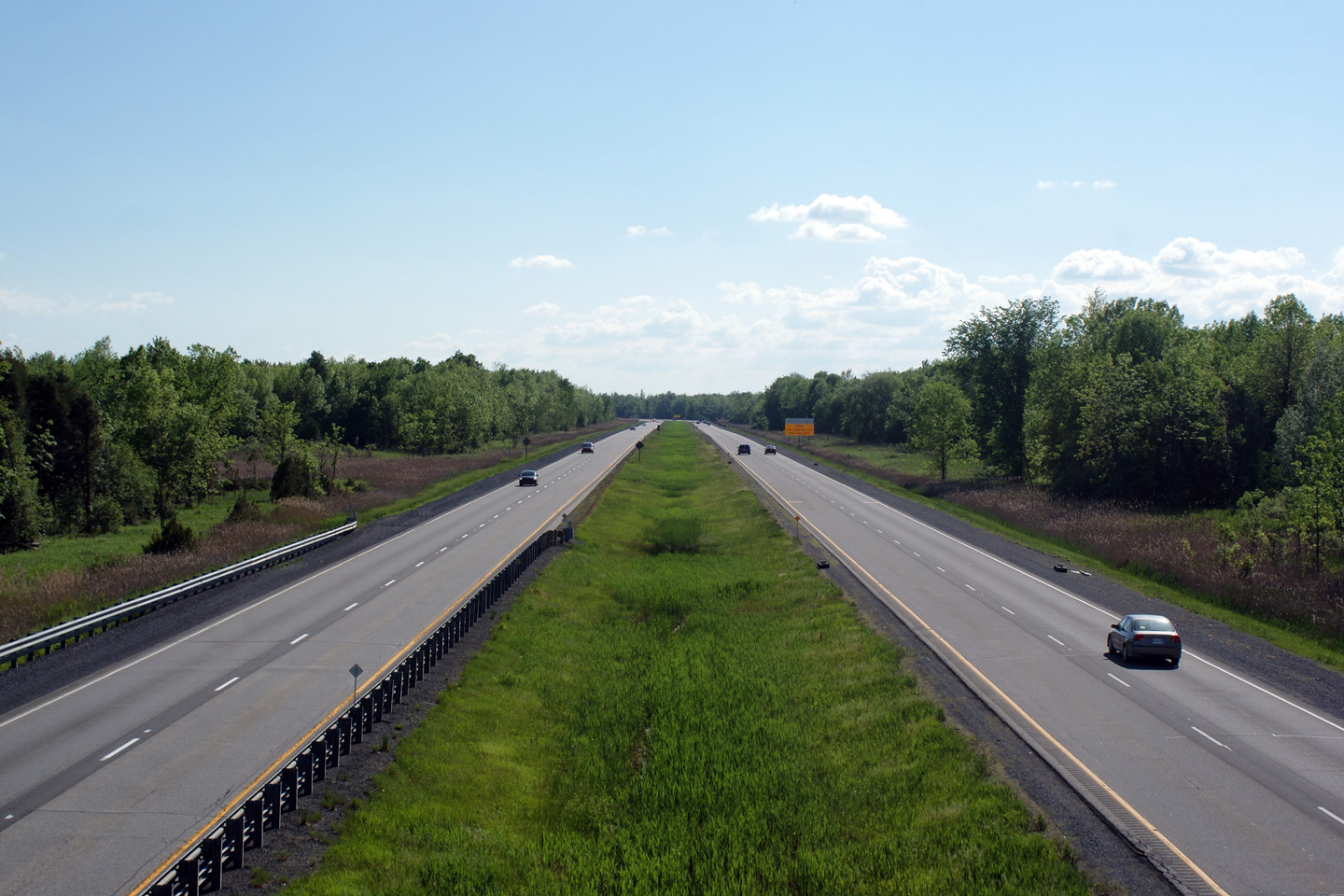
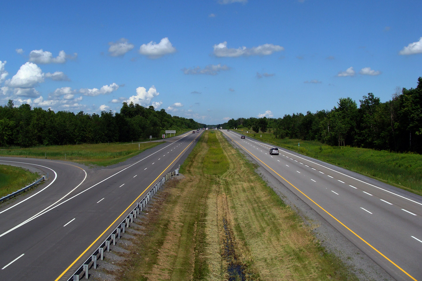
| Township of South Dundas United Counties of Stormont, Dundas and Glengarry |
Westerly view from the Highway 31 overpass. Highway 401's median width
varies through much of eastern Ontario. The grassed median often narrows where the highway passes beneath an overpass. Photo taken: May 23rd, 2010. |
 (720x480) (1440x960) (2400x1600) |
||
| Highway 31 runs between Morrison on Highway 2 and Ottawa's Chaudière Bridge. Click here for Highway 31 images. | ||||
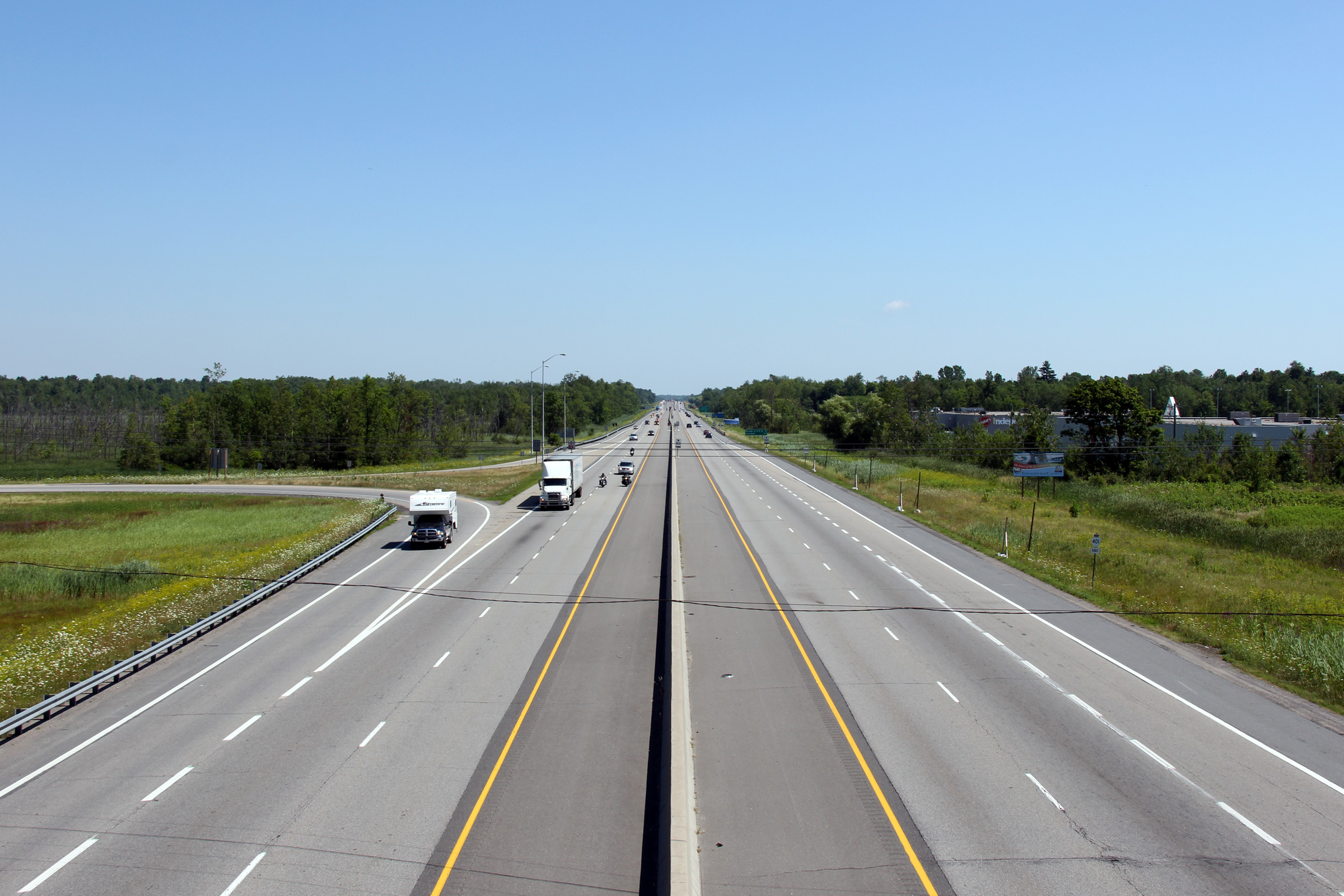
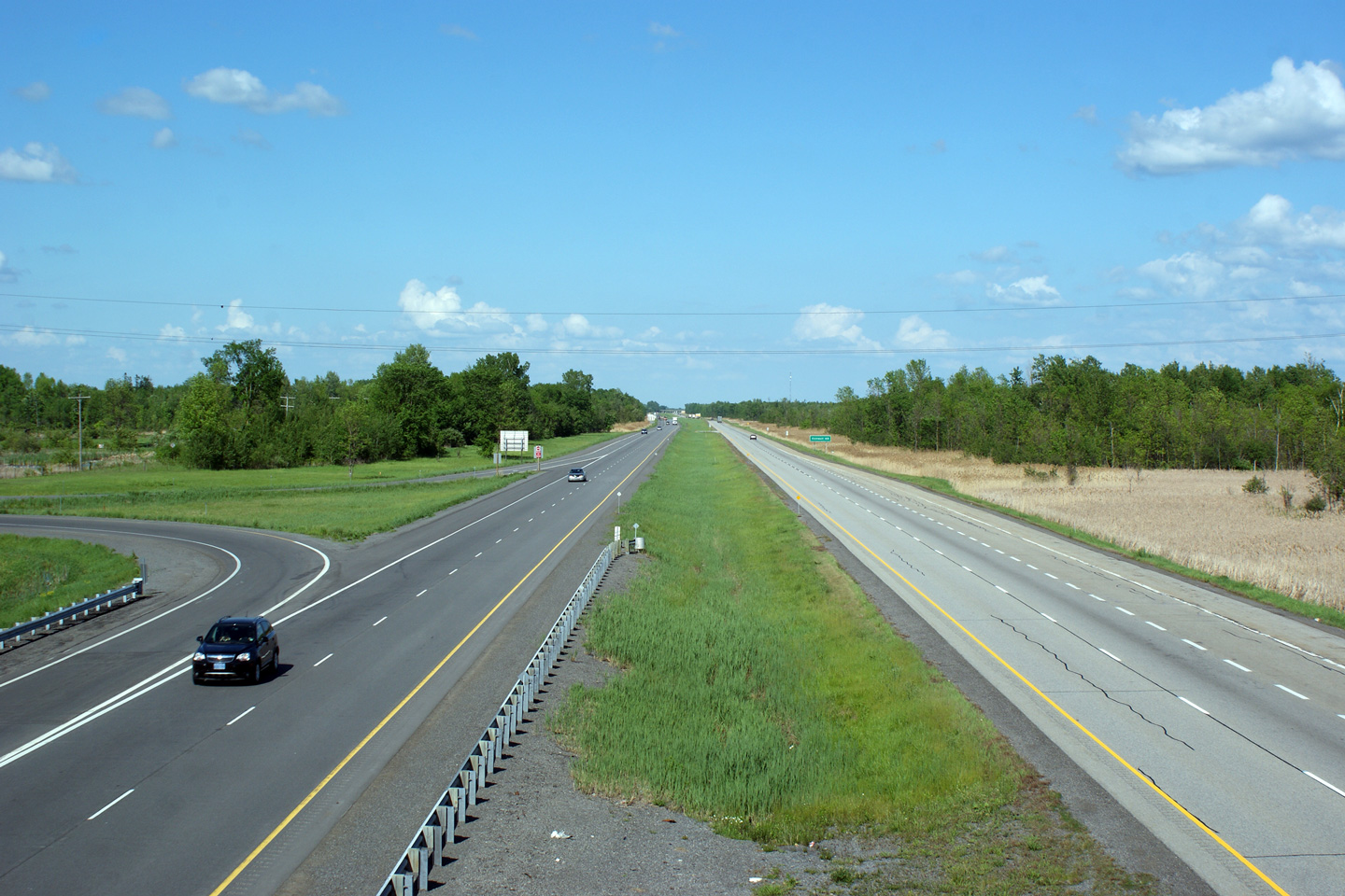
| Township of South Dundas United Counties of Stormont, Dundas and Glengarry |
This view looks easterly from the Highway 31 overpass. Photo taken: May 23rd, 2010. |
 (720x480) (1440x960) (2400x1600) |
||
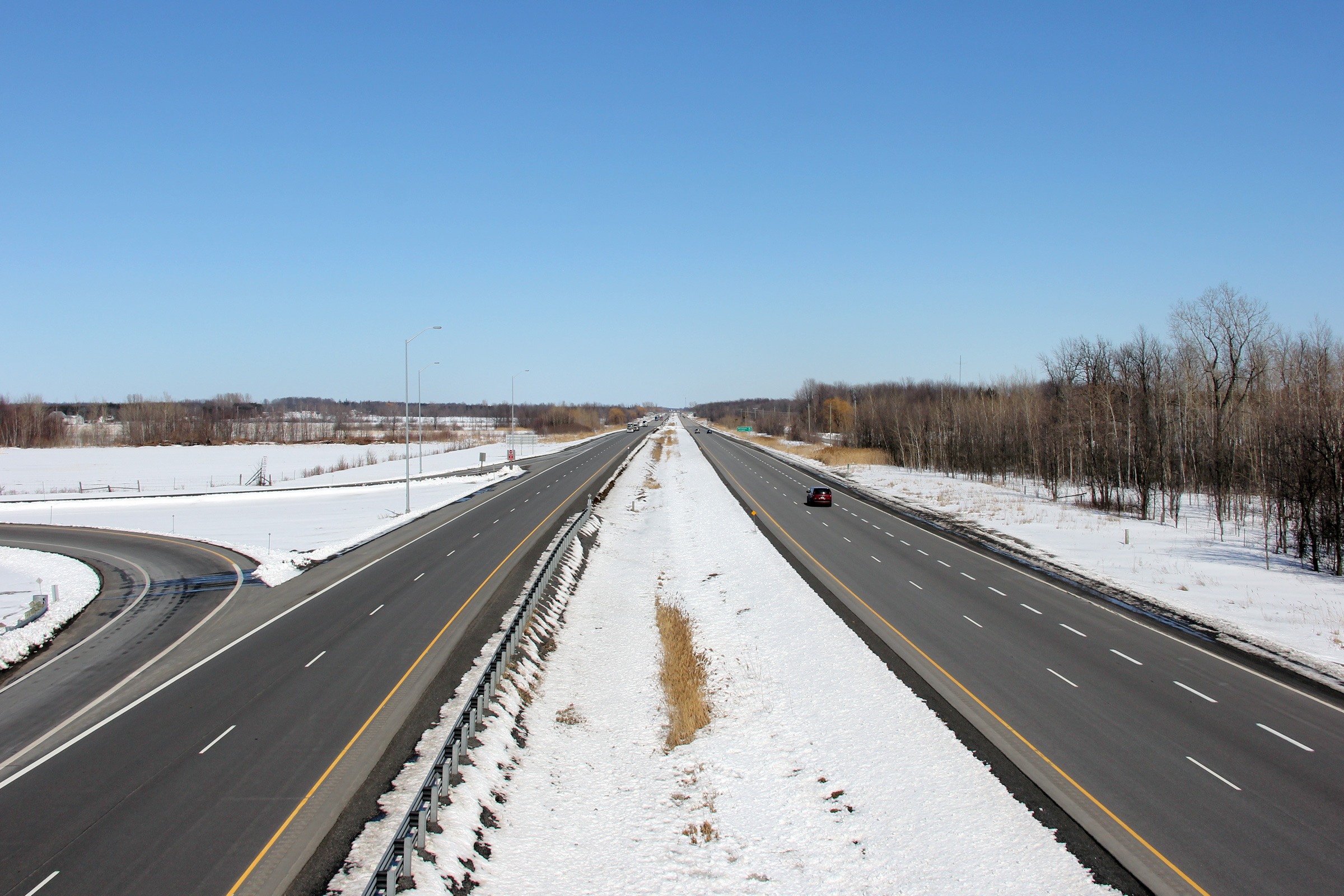
| Township of South Dundas United Counties of Stormont, Dundas and Glengarry |
Westerly view towards Kingston from the Church Road overpass. Photo taken: May 23rd, 2010. |
 (720x480) (1440x960) (2400x1600) |
||
| Township of South Dundas United Counties of Stormont, Dundas and Glengarry |
This view looks easterly from Church Road towards Cornwall. Photo taken: May 23rd, 2010. |
 (720x480) (1440x960) (2400x1600) |
||
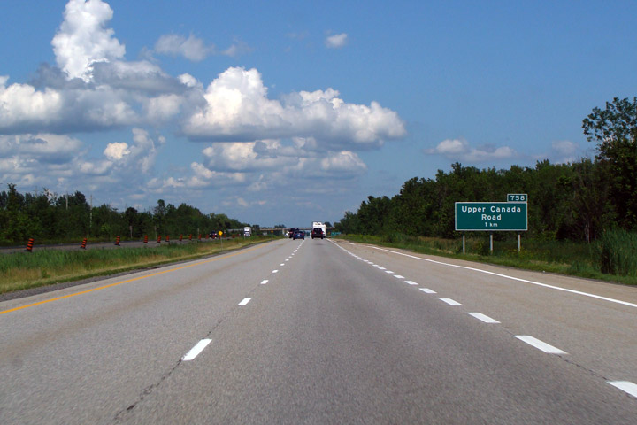
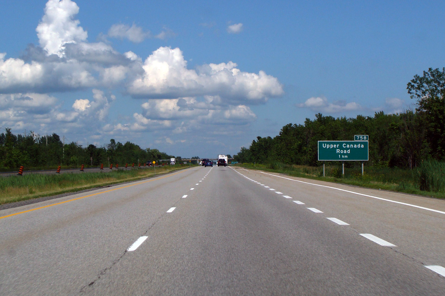
| Township of South Dundas United Counties of Stormont, Dundas and Glengarry |
Advanced signage for the Upper Canada Road interchange. What is now Ontario
was first known as Upper Canada. Photo taken: July 9th, 2009. |
 (720x480) (720x480)(1440x960) |
||
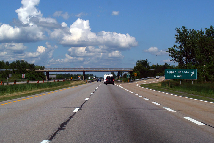
| Township of South Dundas United Counties of Stormont, Dundas and Glengarry |
Upper Canada Road signage and interchange -- looking east. Photo taken: July 9th, 2009. |
 (720x480) (720x480)(1440x960) |
||
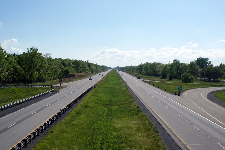
| Township of South Dundas United Counties of Stormont, Dundas and Glengarry |
Westerly view from the Upper Canada Road overpass. Photo taken: May 23rd, 2010. |
 (720x480) (1440x960) (2400x1600) |
||
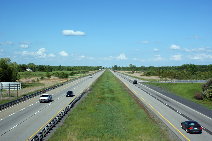
| Township of South Dundas United Counties of Stormont, Dundas and Glengarry |
View looking easterly from Upper Canada Road. Photo taken: May 23rd, 2010. |
 (720x480) (1440x960) (2400x1600) |
||
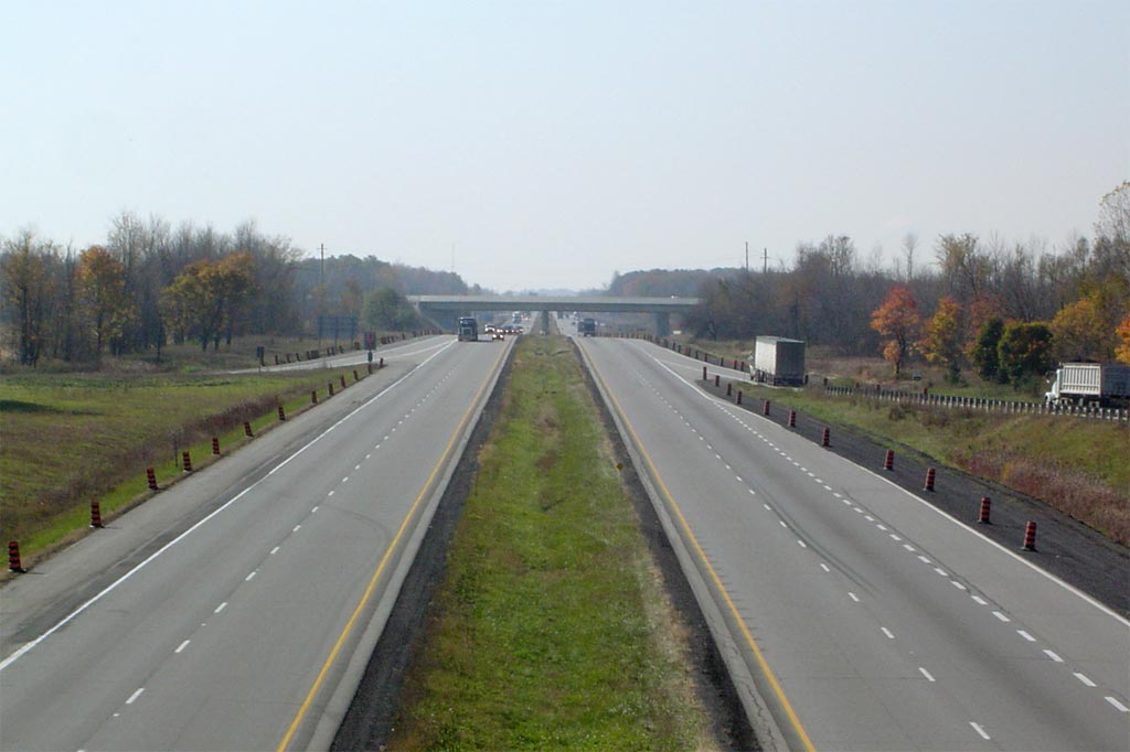
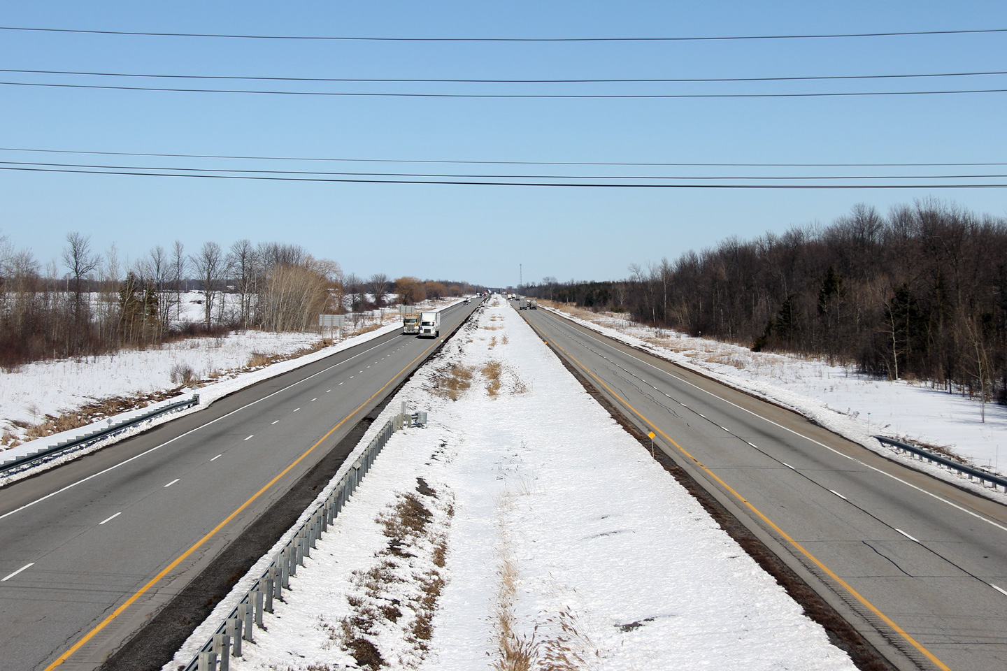
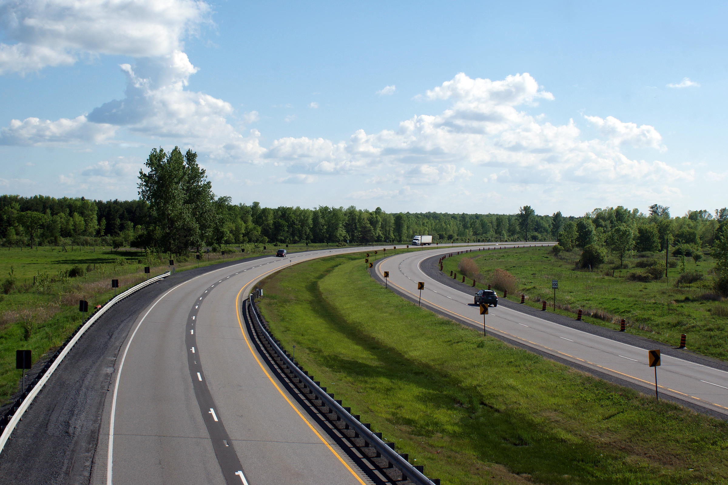
| Township of South Dundas United Counties of Stormont, Dundas and Glengarry |
Looking westerly from the Bush Road overpass. This is one of the
sharpest curves along the entire 820km length of Highway 401. Photo taken: May 23rd, 2010. |
 (720x480) (1440x960) (2400x1600) |
||
| Township of South Stormont United Counties of Stormont, Dundas and Glengarry |
Easterly view from the Bush Road overpass. The westbound Ingleside
Service Centre was closed for reconstruction when this photograph was taken. Photo taken: May 23rd, 2010. |
 (720x480) (1440x960) (2400x1600) |
||
| Township of South Stormont United Counties of Stormont, Dundas and Glengarry |
Westerly view from the Autsville Road overpass. In 1967, the final segment of
Highway 401 to be converted from a single carriageway highway to a four lane
freeway was opened between Iroquois and Autsville Road. Highway 401
was completed a year later when the final stretch of four-lane highway
between Highway 137 and Brockville was opened in 1968. Photo taken: May 23rd, 2010. |
 (720x480) (1440x960) (2400x1600) |
||
| Township of South Stormont United Counties of Stormont, Dundas and Glengarry |
Easterly view from the Autsville Road overpass. Photo taken: May 23rd, 2010. |
 (720x480) (1440x960) (2400x1600) |
||
| Township of South Stormont United Counties of Stormont, Dundas and Glengarry |
Westerly view from the Dickinson Drive overpass near Ingleside. Photo taken: July 9th, 2009. |
 |
||
| Township of South Stormont United Counties of Stormont, Dundas and Glengarry |
View looking easterly from Dickinson Drive towards Cornwall. Dickinson
Drive meets Highway 401 at a parclo AB2 interchange. There are
very few interchanges of this design in Ontario. Photo taken: July 9th, 2009. |
 |
||
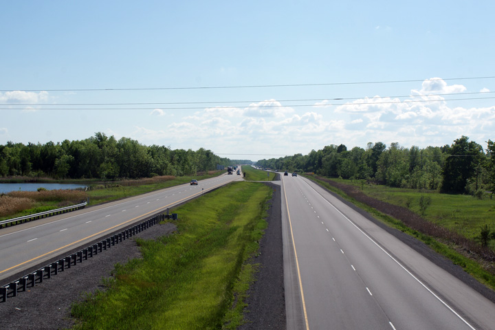
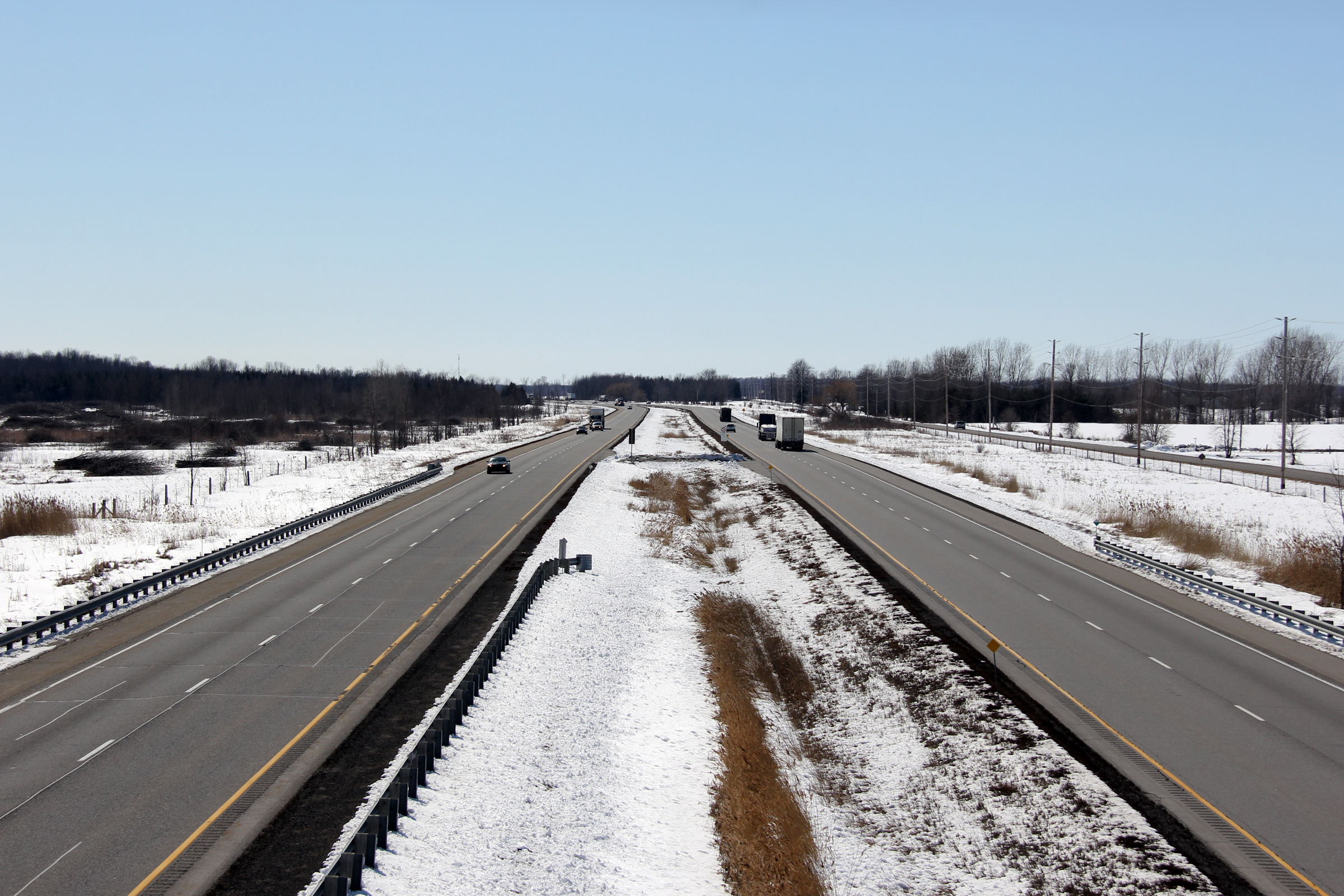
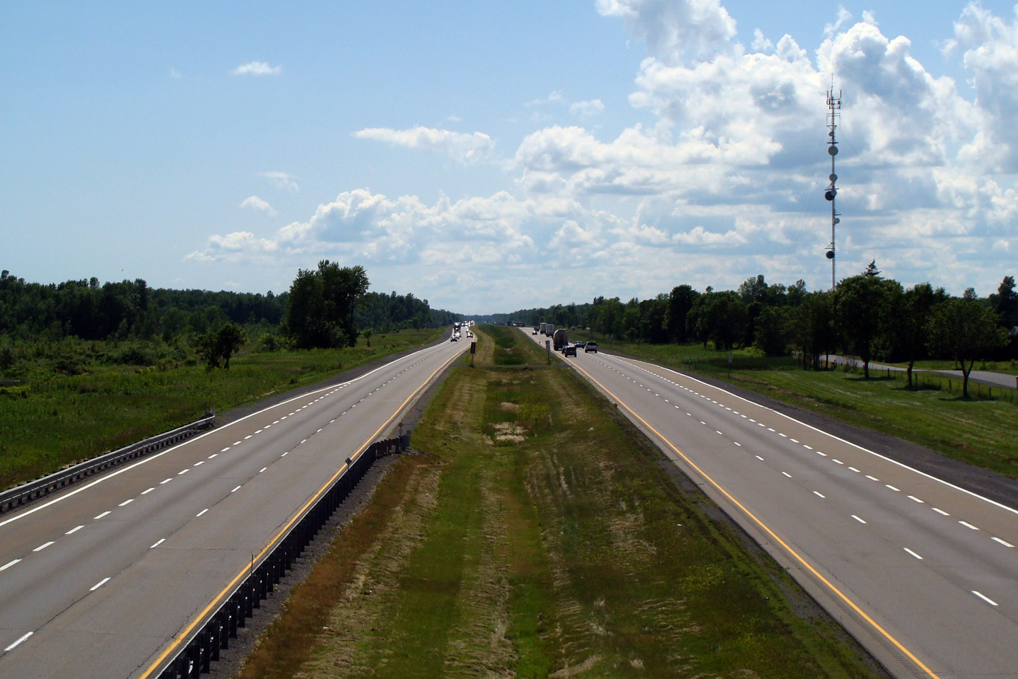
| Township of South Stormont United Counties of Stormont, Dundas and Glengarry |
Westerly view from Whales Road. Highway 401 is surrounded by the
fertile farmland of the Saint Lawrence River Valley as the highway treks
from Kingston to Montreal. Highway 401 is never more than five
kilometers from the riverbank during this journey. Photo taken: July 9th, 2009. |
 |
||
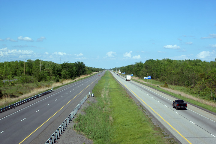
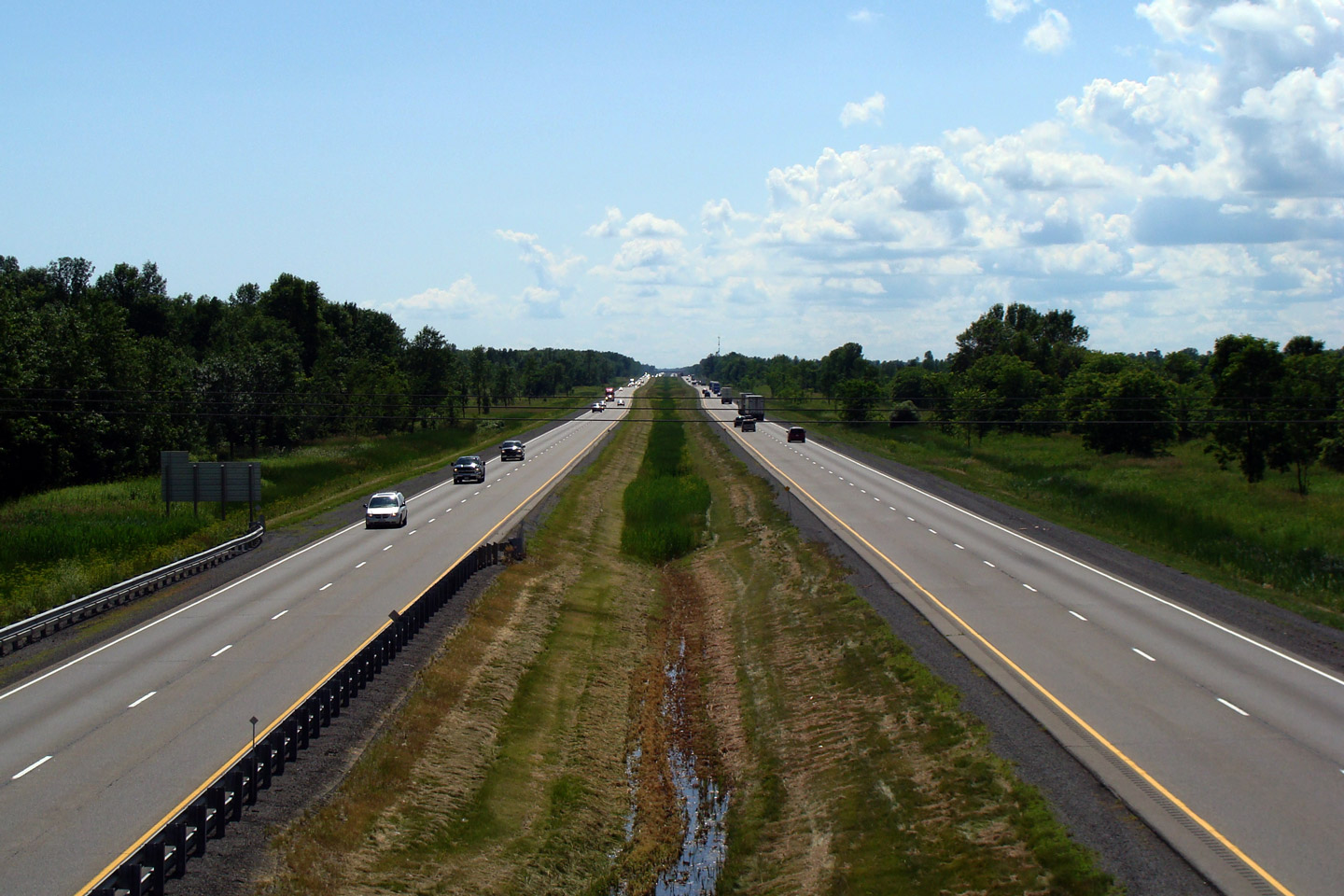
| Township of South Stormont United Counties of Stormont, Dundas and Glengarry |
Easterly view along Highway 401 from Whales Road. The highway is
generally quite lightly traveled east of Kingston, which makes for a
relaxing and peaceful drive. A welcome break from the traffic tie-ups
normally encountered in both Toronto and Montreal. Photo taken: July 9th, 2009. |
|||
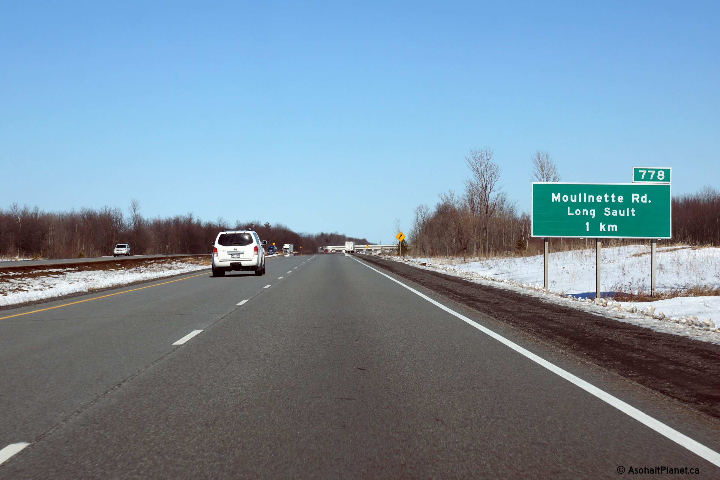
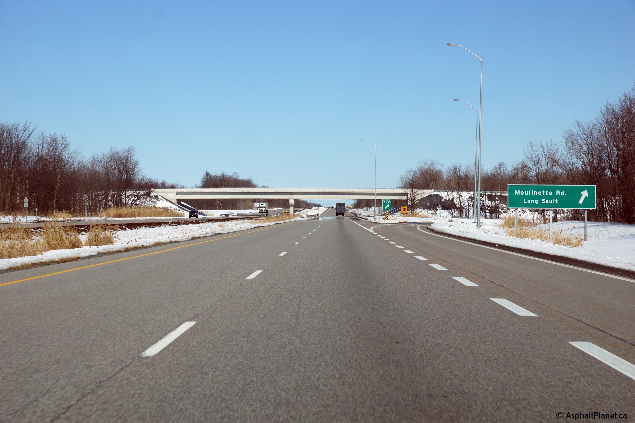
| Township of South Stormont United Counties of Stormont, Dundas and Glengarry |
Advanced signage for the off-ramp to Moulinette Road. Photo taken: March 31st, 2014. |
 (720x480) (720x480)(1440x960) (2400x1600) |
||
| Township of South Stormont United Counties of Stormont, Dundas and Glengarry |
Easterly view at the Moulinette Road off-ramp. Photo taken: March 31st, 2014. |
 (720x480) (720x480)(1440x960) (2400x1600) |
||
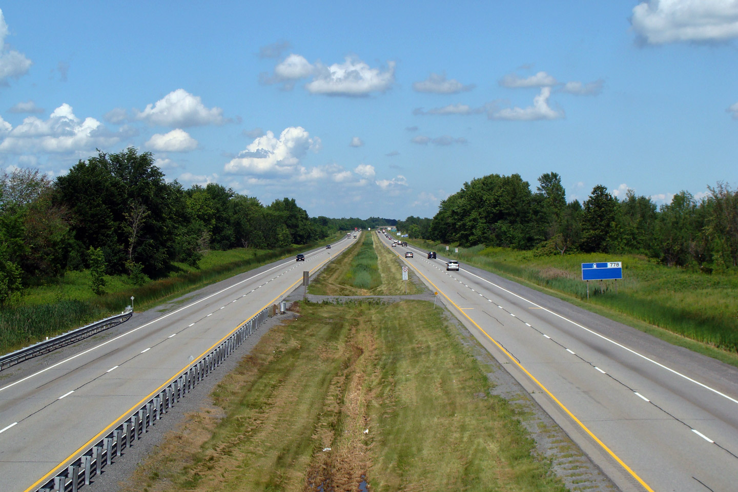
| Township of South Stormont United Counties of Stormont, Dundas and Glengarry |
Westerly view from Moulinette Road. Photo taken: July 9th, 2009. |
 |
||
| Township of South Stormont United Counties of Stormont, Dundas and Glengarry |
View looking east from Moulinette Road. Photo taken: July 9th, 2009. |
 |
||
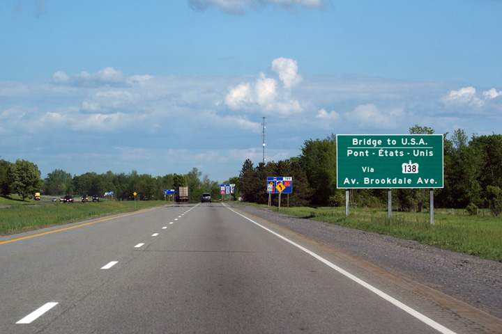
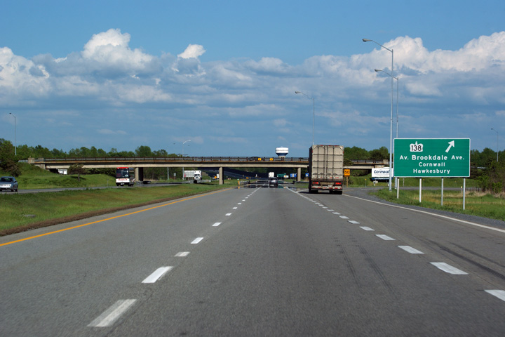
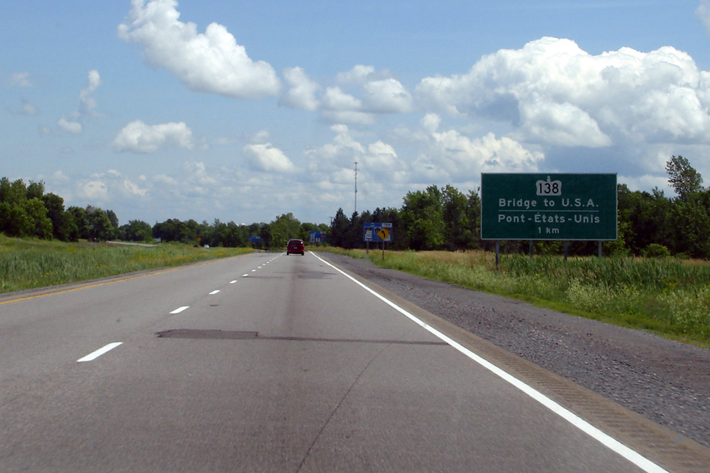
| Township of South Stormont United Counties of Stormont, Dundas and Glengarry |
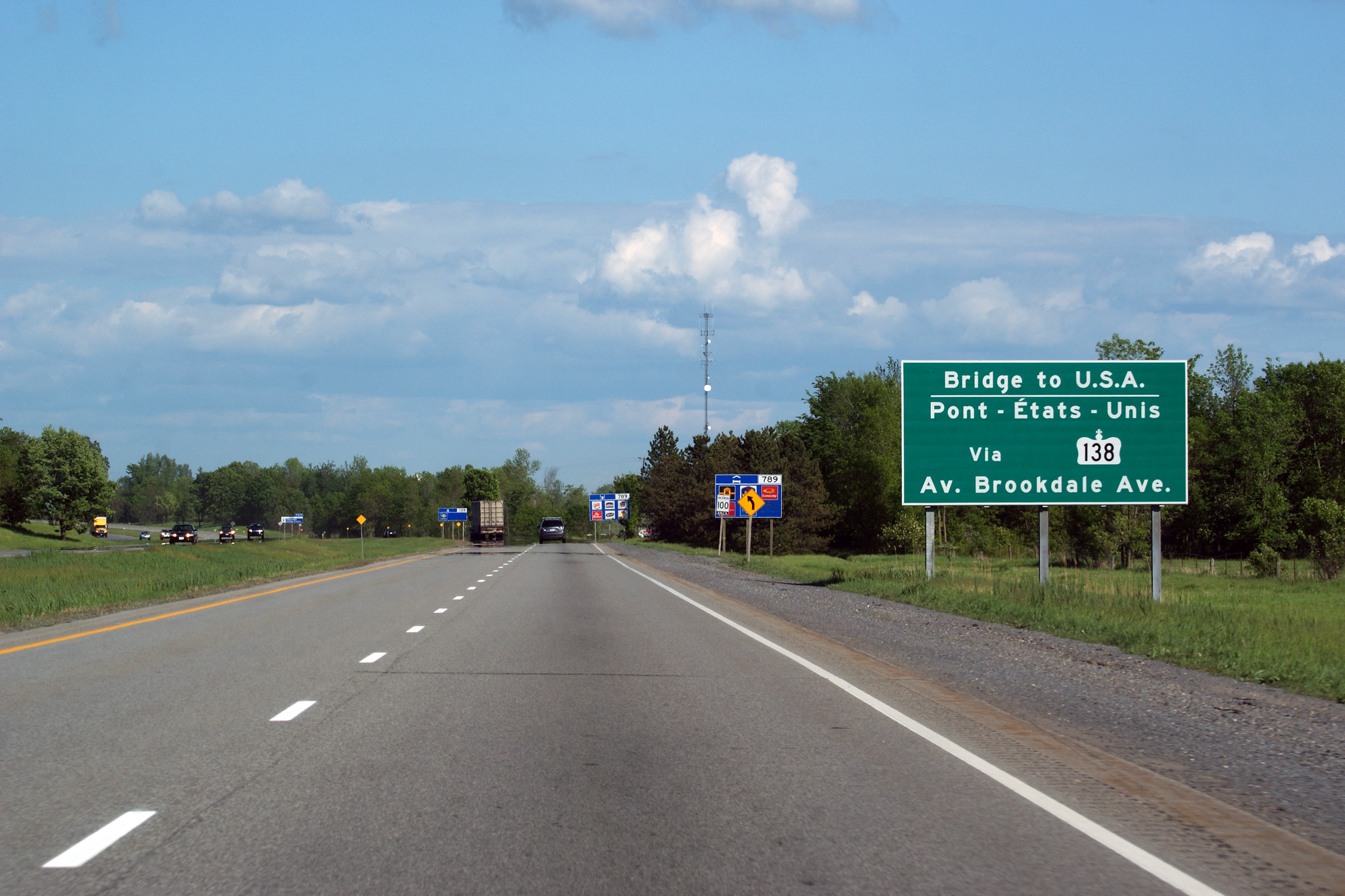
Guide signage direction traffic bound for the U.S.A. to follow Highway 138.
This sign replaces a set of awkward dual signage where unique advanced
and turnoff signs accompanied those pictured below. Click the links to see the
advanced and
turnoff signs that were replaced by this sign. Photo taken: May 23rd, 2010. |
 (720x480) (720x480)(1440x960) (2400x1600) |
||
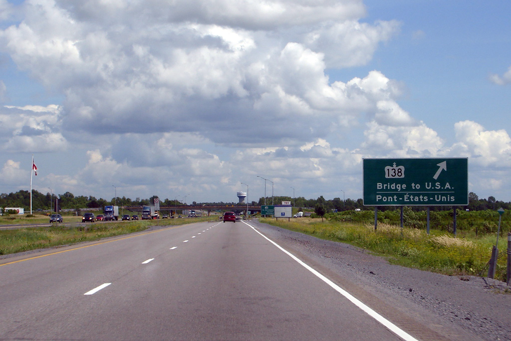
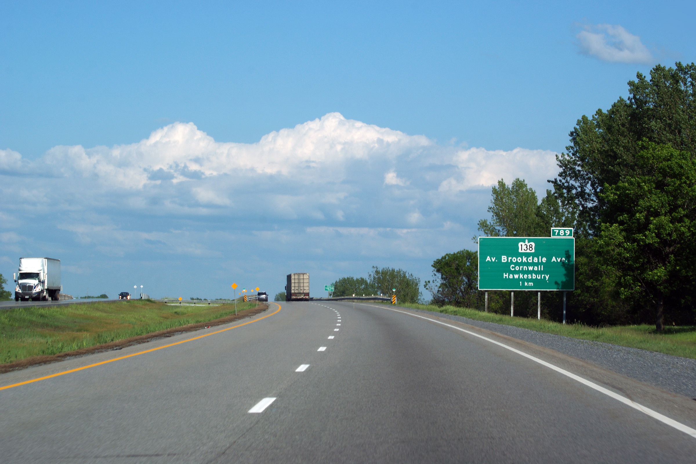
| Township of South Stormont United Counties of Stormont, Dundas and Glengarry |
Advanced signage for the Highway 138 exit in Cornwall. Photo taken: May 23rd, 2010. |
|||
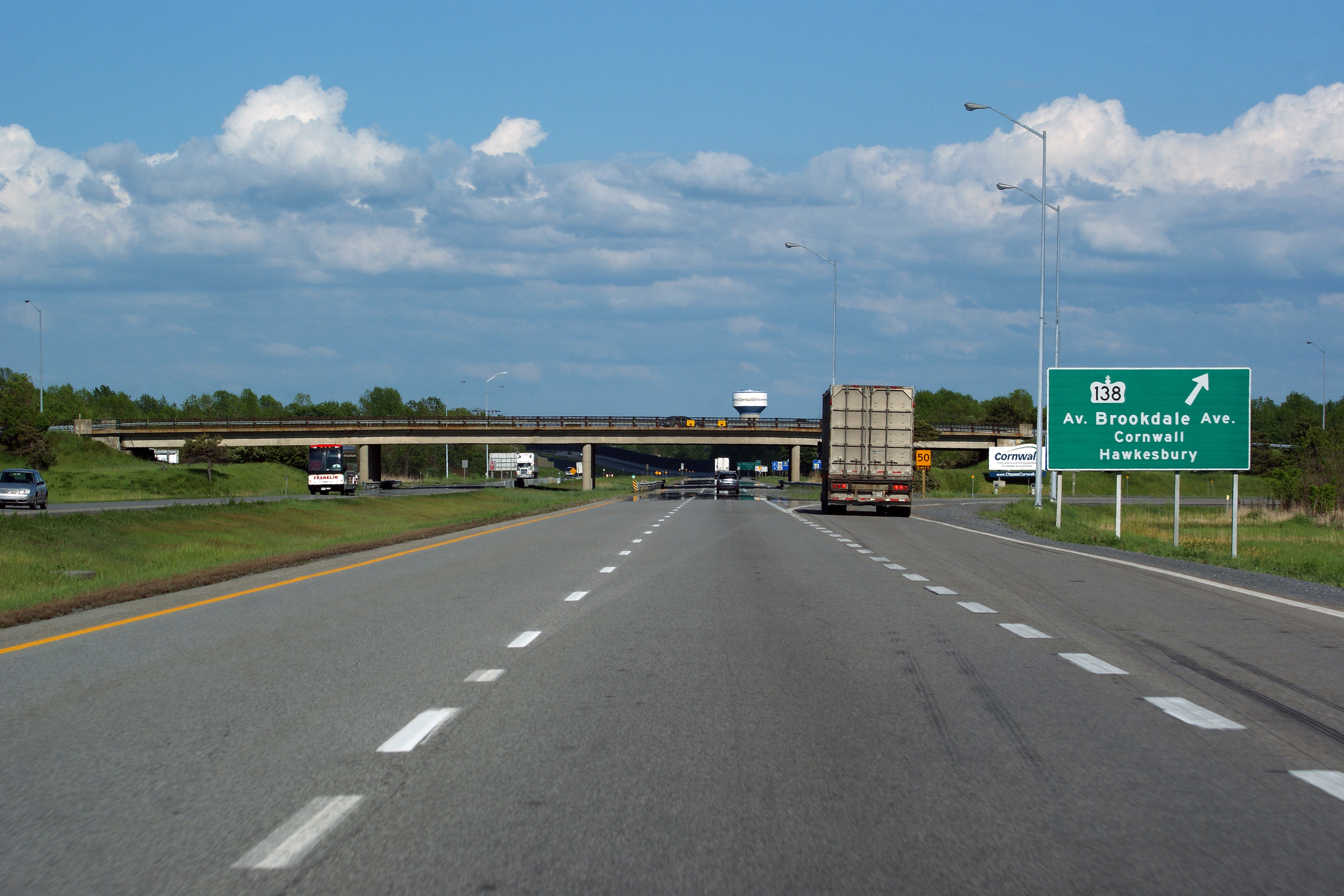
| City of Cornwall |
Turnoff signage for Highway 138. Photo taken: May 23rd, 2010. |
|||
| Highway 138 runs between the Seaway International Bridge and Highway 417. Click here for Highway 138 images. | ||||
| Click here for Cornwall to Québec Border Images | ||||
<- Page 16 Images Highway 401 Images Index Page 18 Images->
<- Highway 400 Images Back to Highway 401 Highway 402 Images ->
Copyright (c) 2004-2014, AsphaltPlanet.ca AsphaltPlanet@asphaltplanet.ca


