AsphaltPlanet.ca > OntHighways >
Highway 416 > Images
King's Highway 416 - Images
Photos shown in this table are arranged from South to North:
| Proper Municipality Name | Photo Description | Photo | ||
|
Pictures taken from driver's perspective appear offset from centre-line pictures: |
North- Bound |
South- Bound |
||
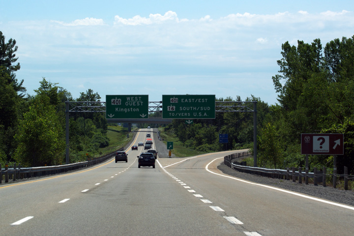
| The 416 ends at partial interchange favouring the west with Highway 401. Click here for Highway 401 images. | ||||
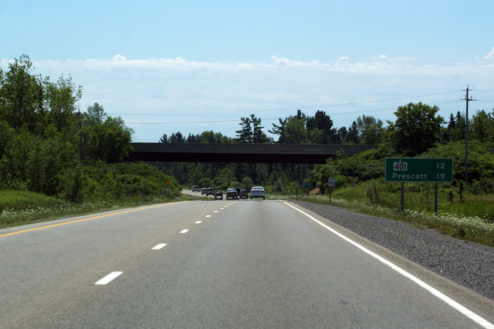
| Township of Edwardsburgh / Cardinal United Counties of Leeds & Grenville |
View
looking south from Cedar Grove Road towards the Highway 401 interchange. Photo taken: December 7th, 2008. |
 |
||
| Township of Edwardsburgh / Cardinal United Counties of Leeds & Grenville |
View
looking north from Cedar Grove Road. Surprisingly the ramp carrying
traffic from
Highway 401-East to Highway 416 is predominantly a single lane ramp. Photo taken: December 7th, 2008. |
 |
||
| Township of Edwardsburgh / Cardinal United Counties of Leeds & Grenville |
View
looking north from the ramp to Highway 16. Photo taken: December 7th, 2008. |
 |
||
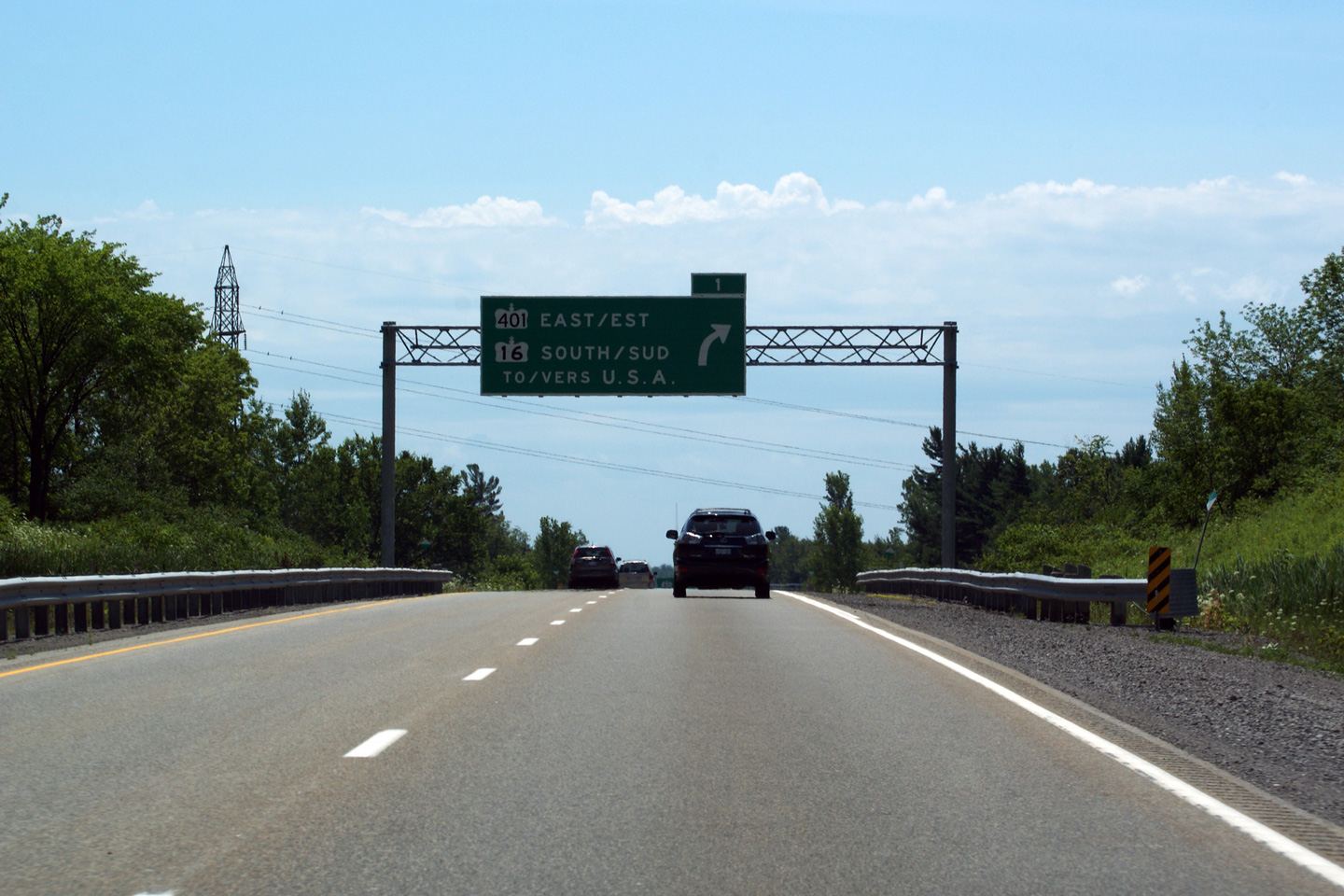
| Highway 16 splits one kilometre north of Highway 401 bound for the Prescott-Ogdensburg International Bridge. Click here for Highway 16 images. | ||||
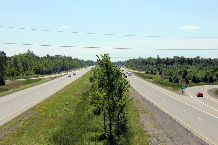
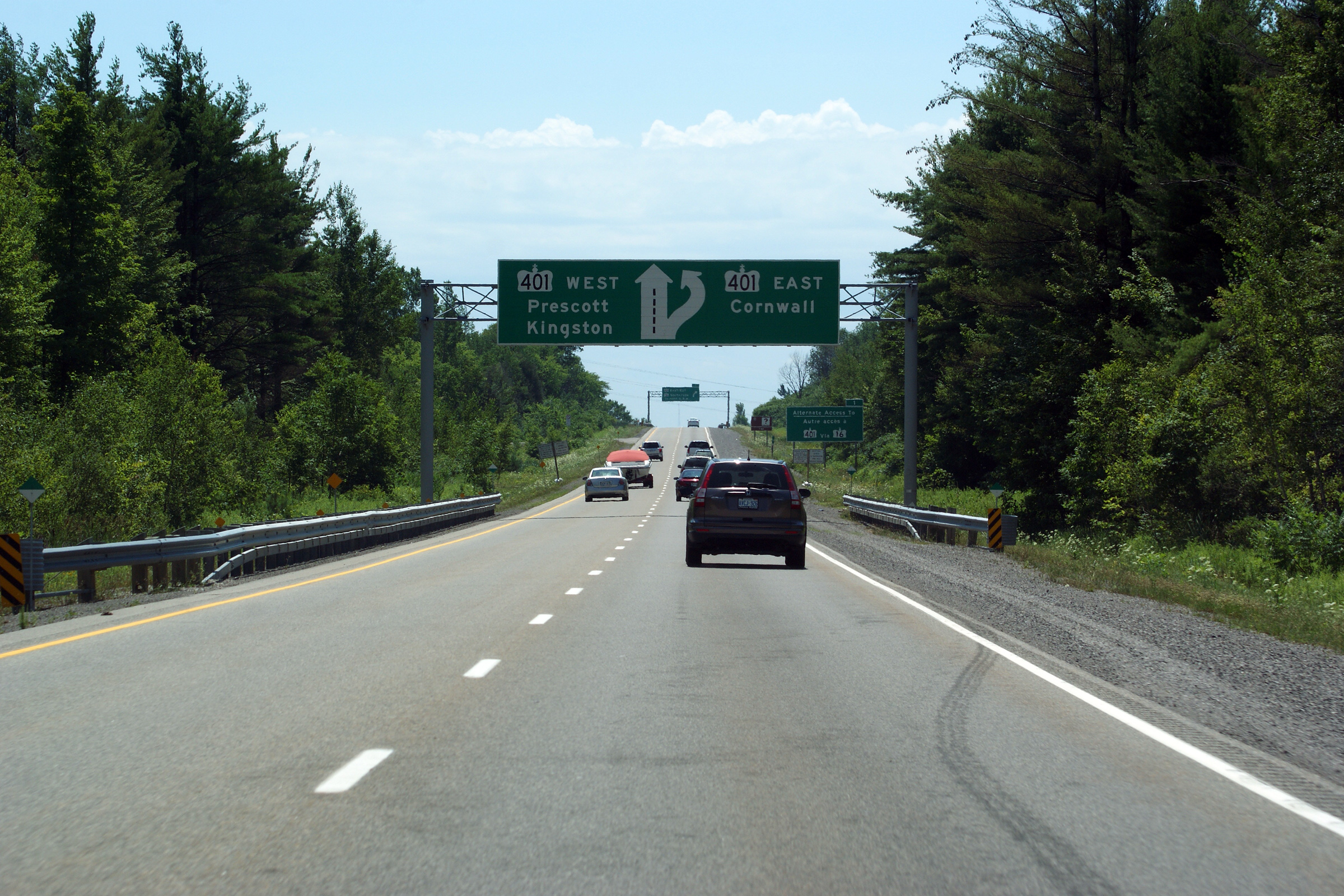
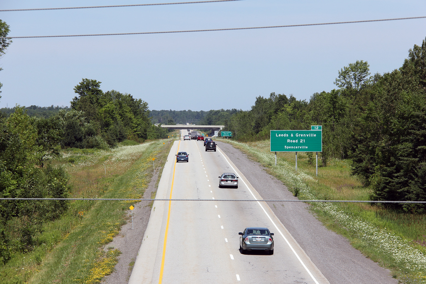
| Township of Edwardsburgh / Cardinal United Counties of Leeds & Grenville |
Signage at the Highway 16 split. Photo taken: July 23rd, 2011. |
 (720x480) (720x480)(1440x960) (2400x1600) |
||
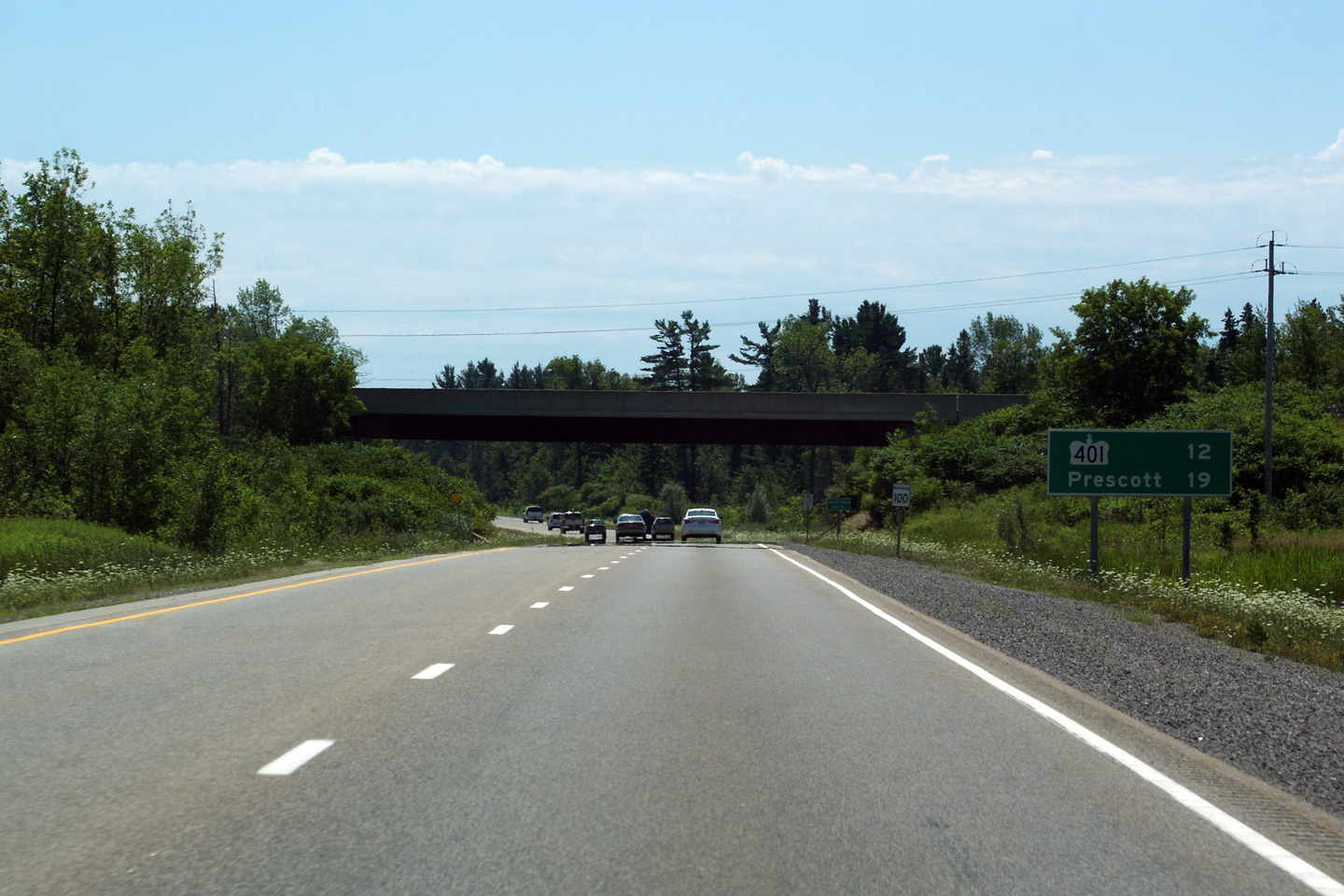
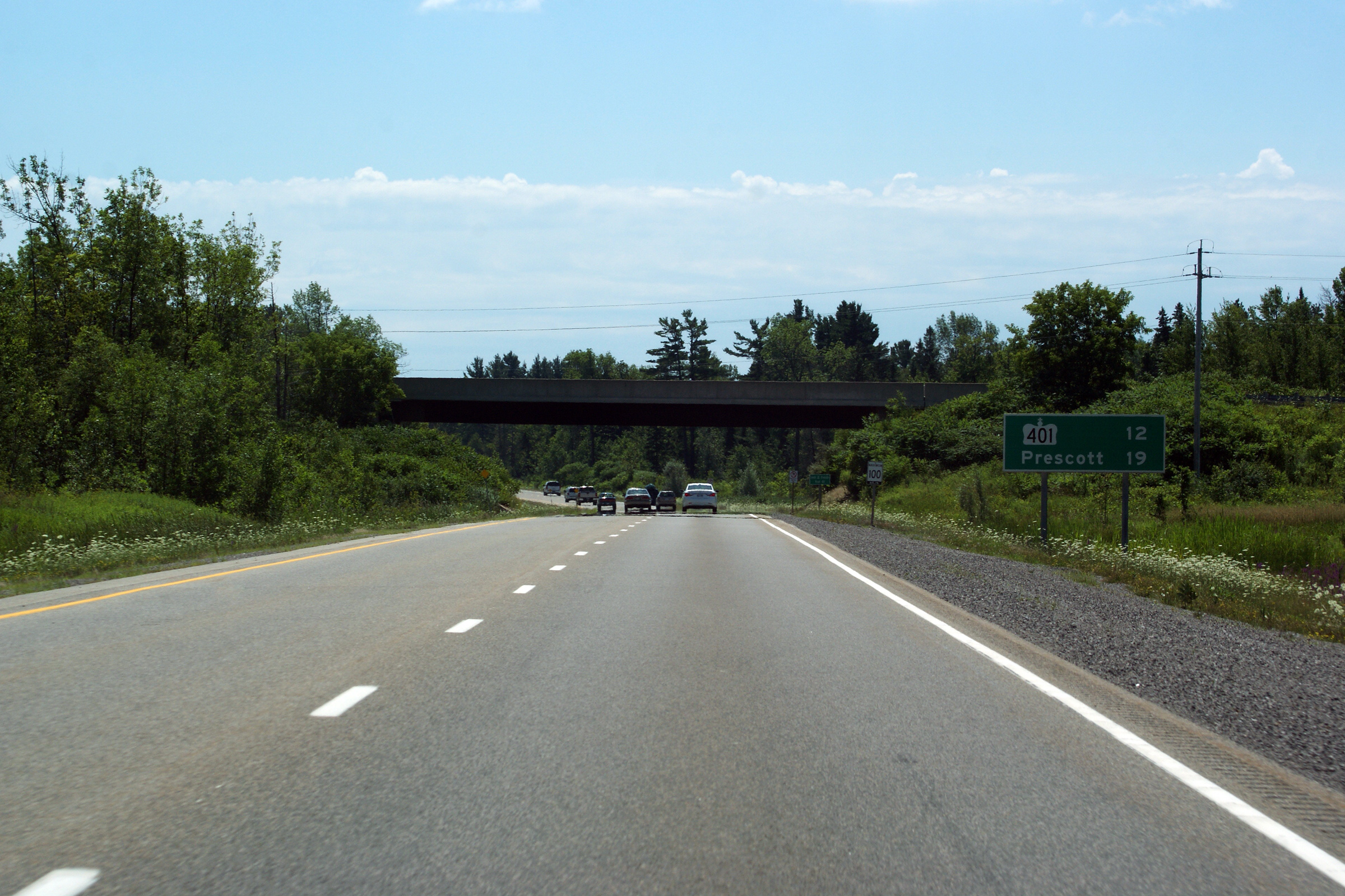
| Township of Edwardsburgh / Cardinal United Counties of Leeds & Grenville |
Advanced signage for the ramp leading to Highway 16 and to the Eastbound
401. Photo taken: July 23rd, 2011. |
 (720x480) (720x480)(1440x960) (2400x1600) |
||
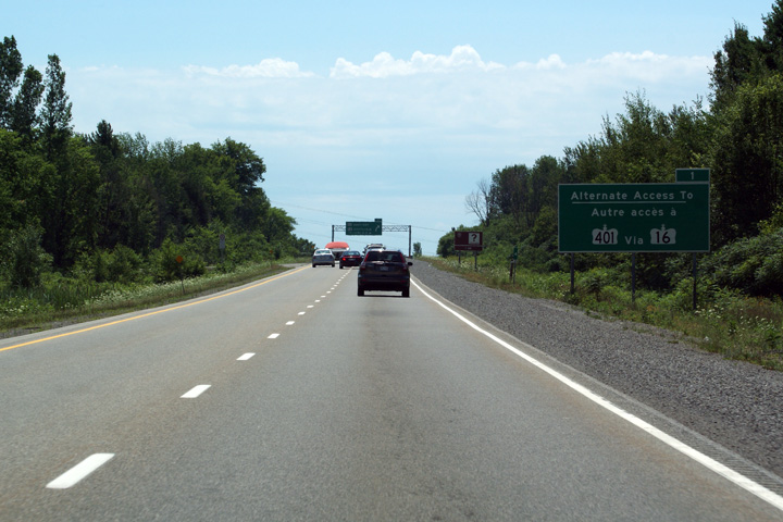
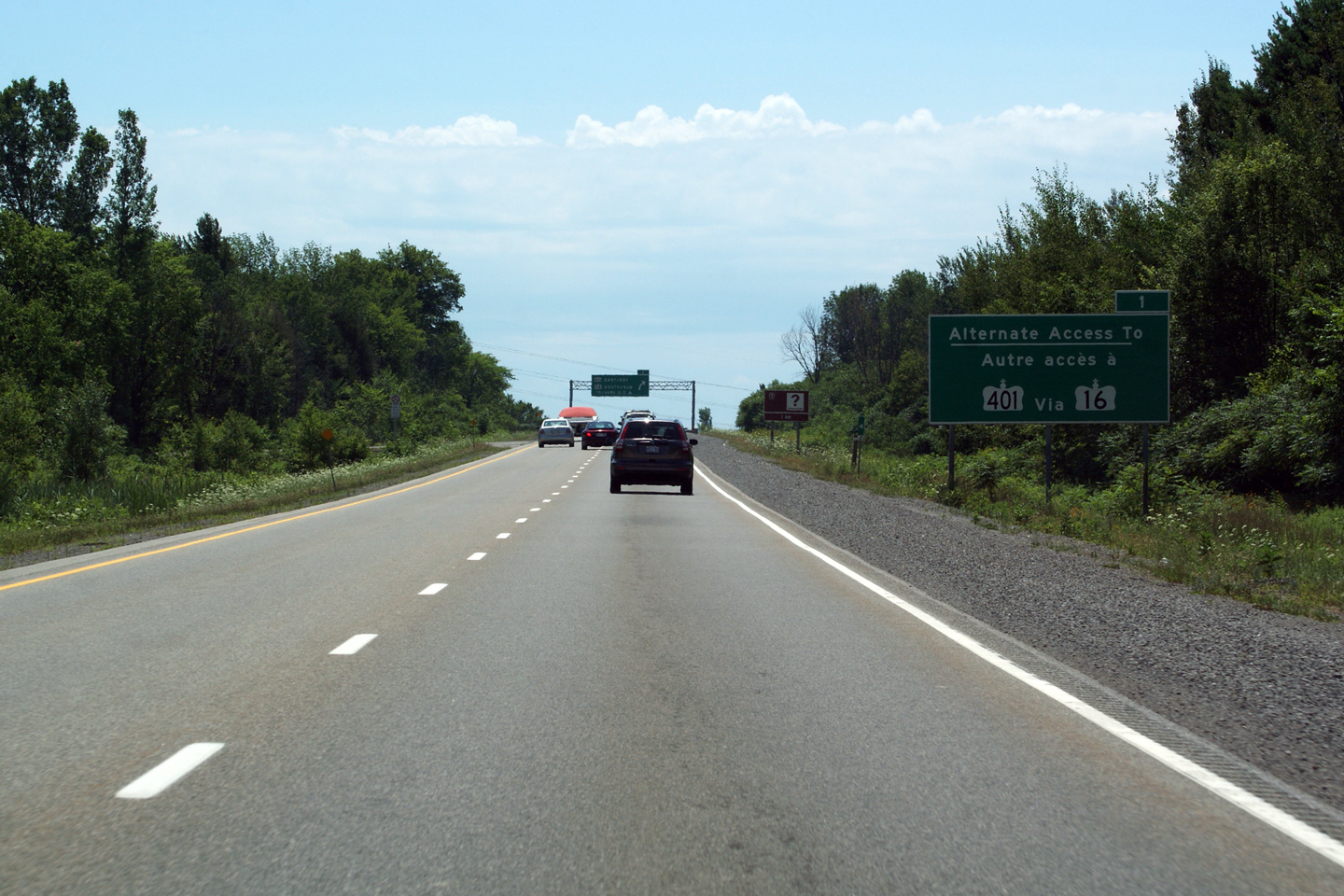
| Township of Edwardsburgh / Cardinal United Counties of Leeds & Grenville |
Highway 16 is signed as an alternate access point to Highway 401 West. Photo taken: July 23rd, 2011 |
 (720x480) (720x480)(1440x960) (2400x1600) |
||
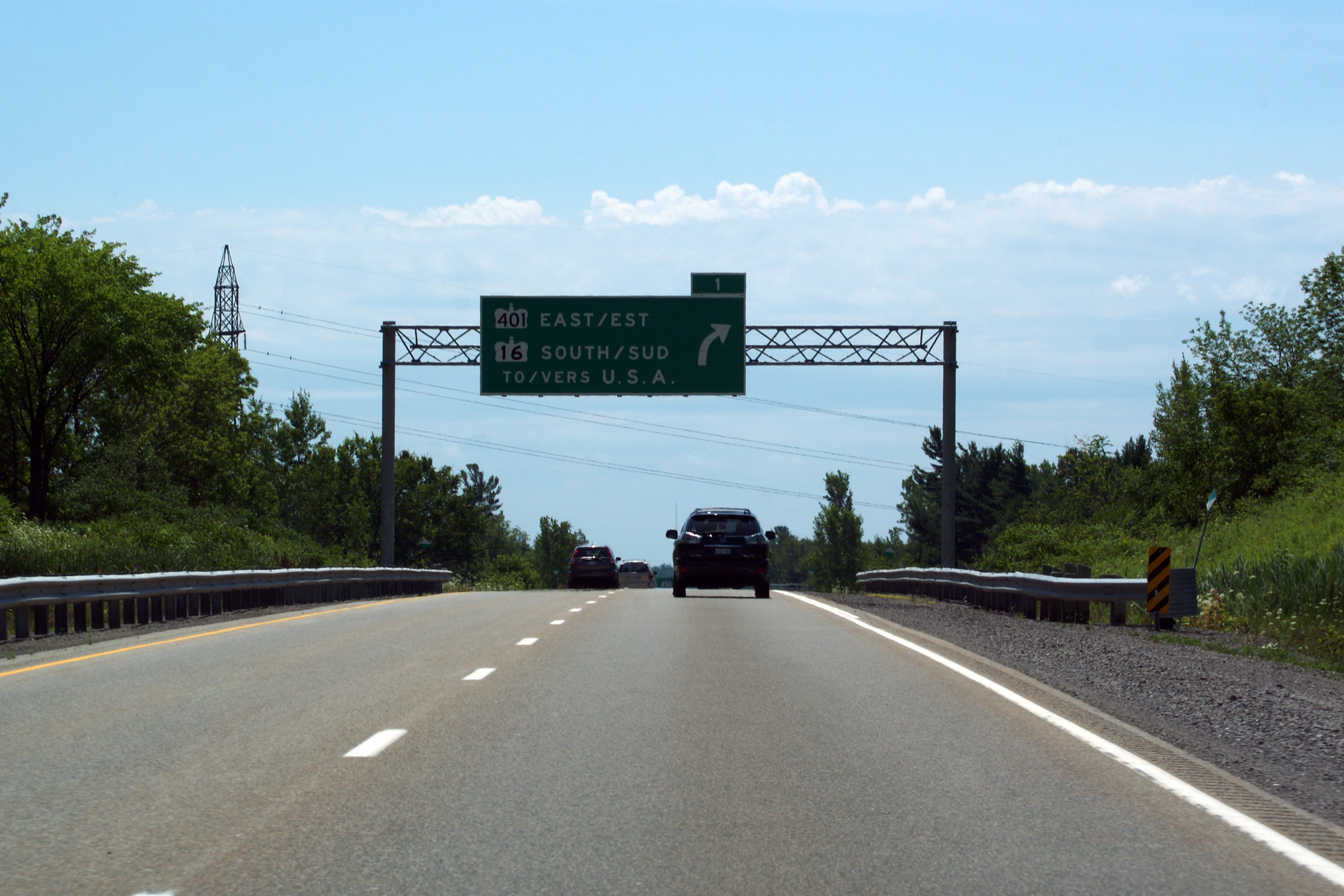
| Township of Edwardsburgh / Cardinal United Counties of Leeds & Grenville |
Overhead diagram sign denoting the upcoming Highway 401 interchange. Highway 416
defaults onto the westbound 401.
Highway 401 east is accessible via
Highway 16. Photo taken: July 23rd, 2011. |
 (720x480) (720x480)(1440x960) (2400x1600) |
||
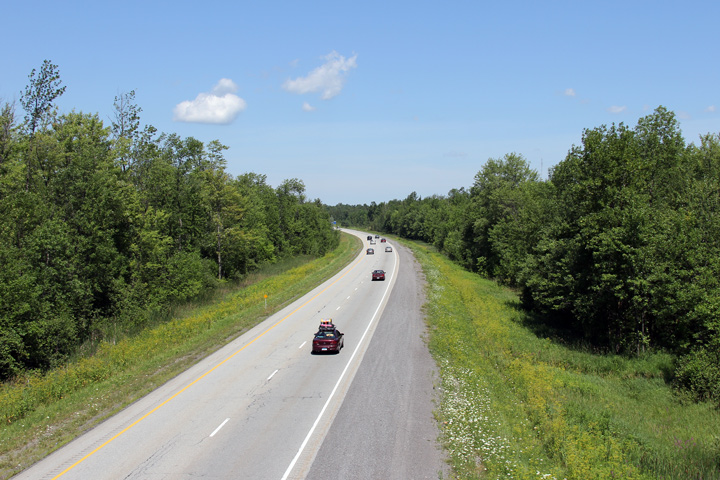
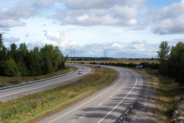
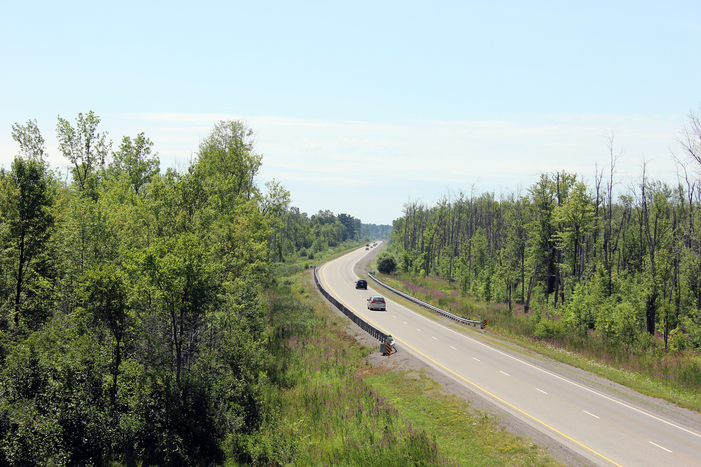
| Township of Edwardsburgh / Cardinal United Counties of Leeds & Grenville |
Southerly view along the southbound carriageway of Highway 416 from the Glen
Small Road overpass. Photo taken: July 23rd, 2011. |
 (720x480) (1440x960) (2400x1600) |
||
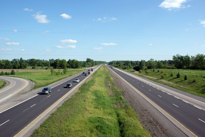
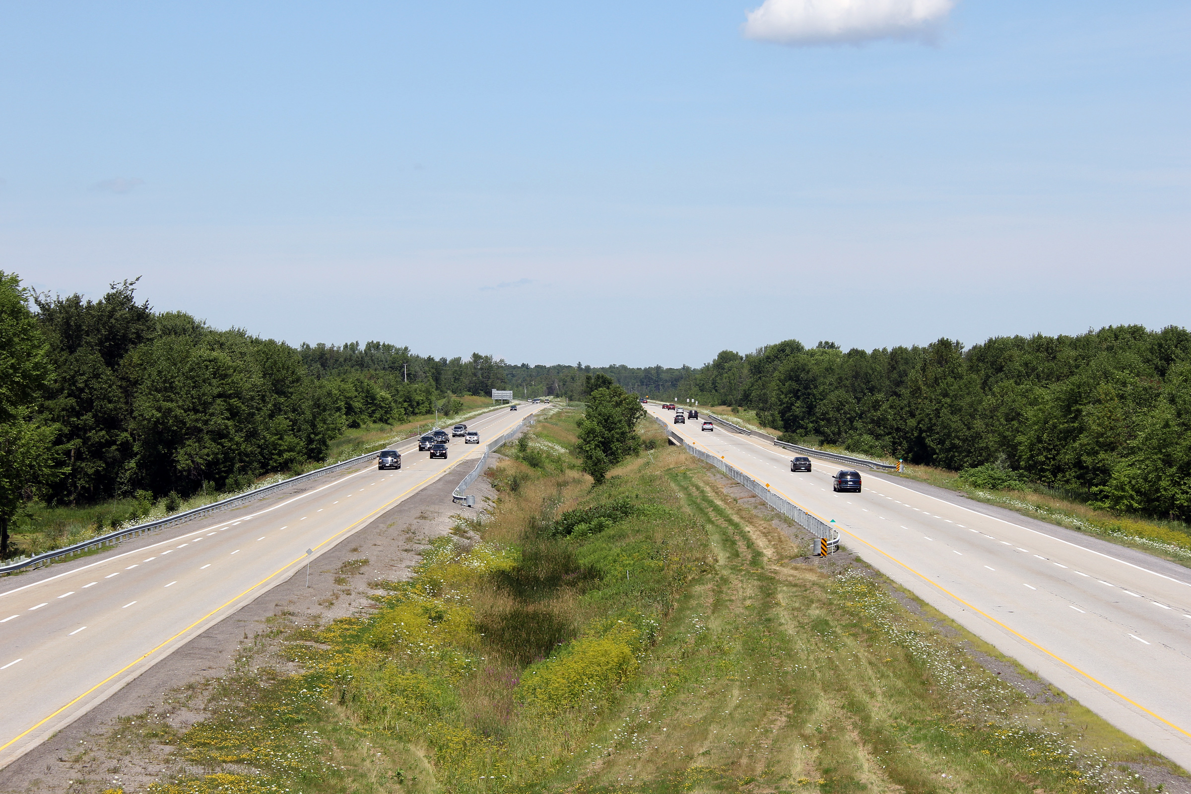
| Township of Edwardsburgh / Cardinal United Counties of Leeds & Grenville |
Northerly view along the northbound carriageway from the Glen Small Road
overpass. For the southernmost 25km of Highway 416 the north and
southbound carriageways are separated by a large forested median. Photo taken: July 23rd, 2011. |
 (720x480) (1440x960) (2400x1600) |
||
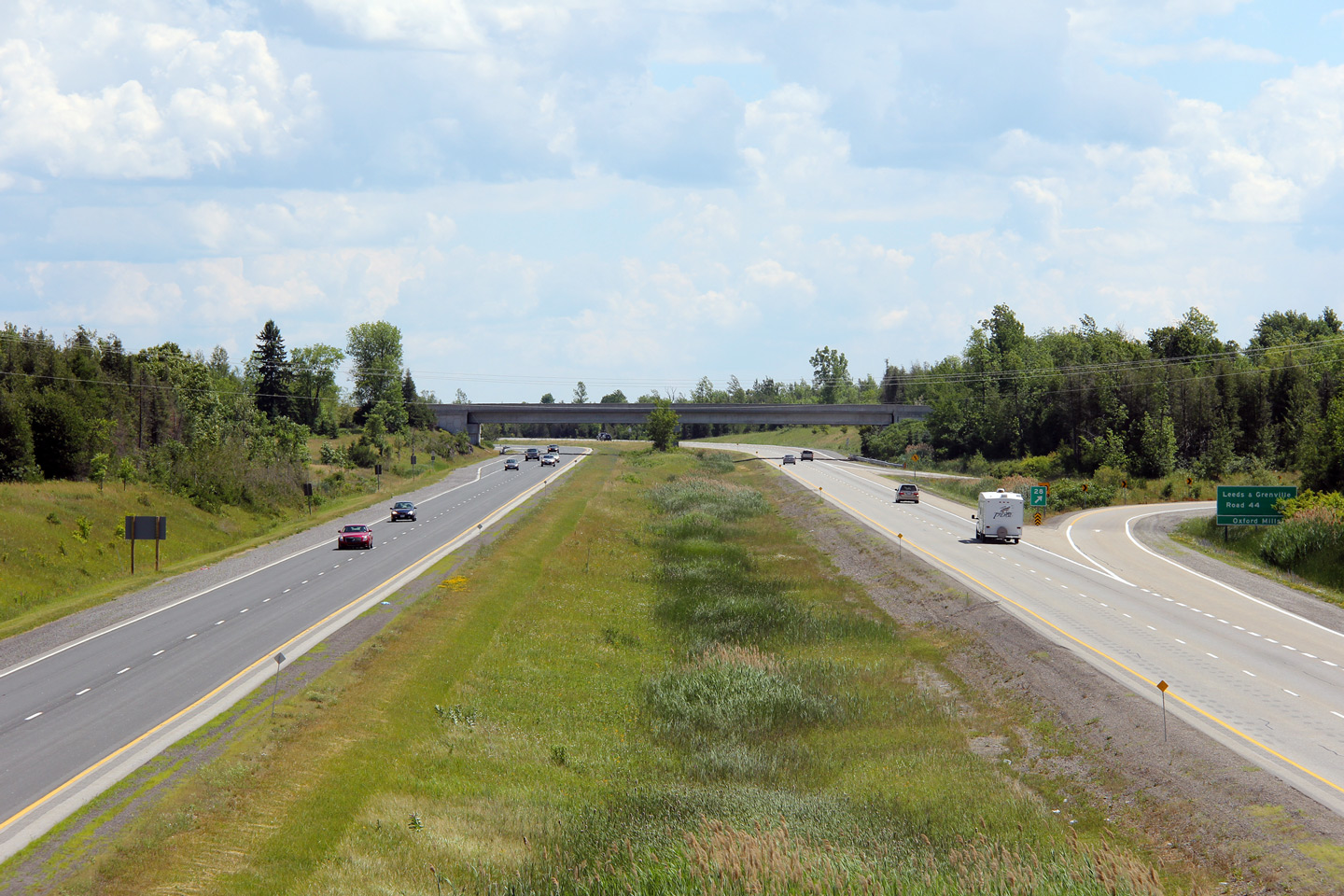
| Township of Edwardsburgh / Cardinal United Counties of Leeds & Grenville |
Southerly view along the southbound carriageway of Highway 416 from the
Leeds & Grenville Road 44 overpass. Prior to the 1960s and 70s, Highway 16
followed what is today known as Leeds & Grenville Road 44. Photo taken: July 23rd, 2011. |
 (720x480) (1440x960) (2400x1600) |
||
| Township of Edwardsburgh / Cardinal United Counties of Leeds & Grenville |
Northerly view towards the Shanly Avenue interchange from Leeds & Grenville
Road 44. Photo taken: July 23rd, 2011. |
 (720x480) (1440x960) (2400x1600) |
||
| Township of Edwardsburgh / Cardinal United Counties of Leeds & Grenville |
Destination signage along Highway 416 South, just south of Shanly Road.
It is unusual to see a provincial highway crown used on a destination sign. Photo taken: July 23rd, 2011. |
 (720x480) (720x480)(1440x960) (2400x1600) |
||
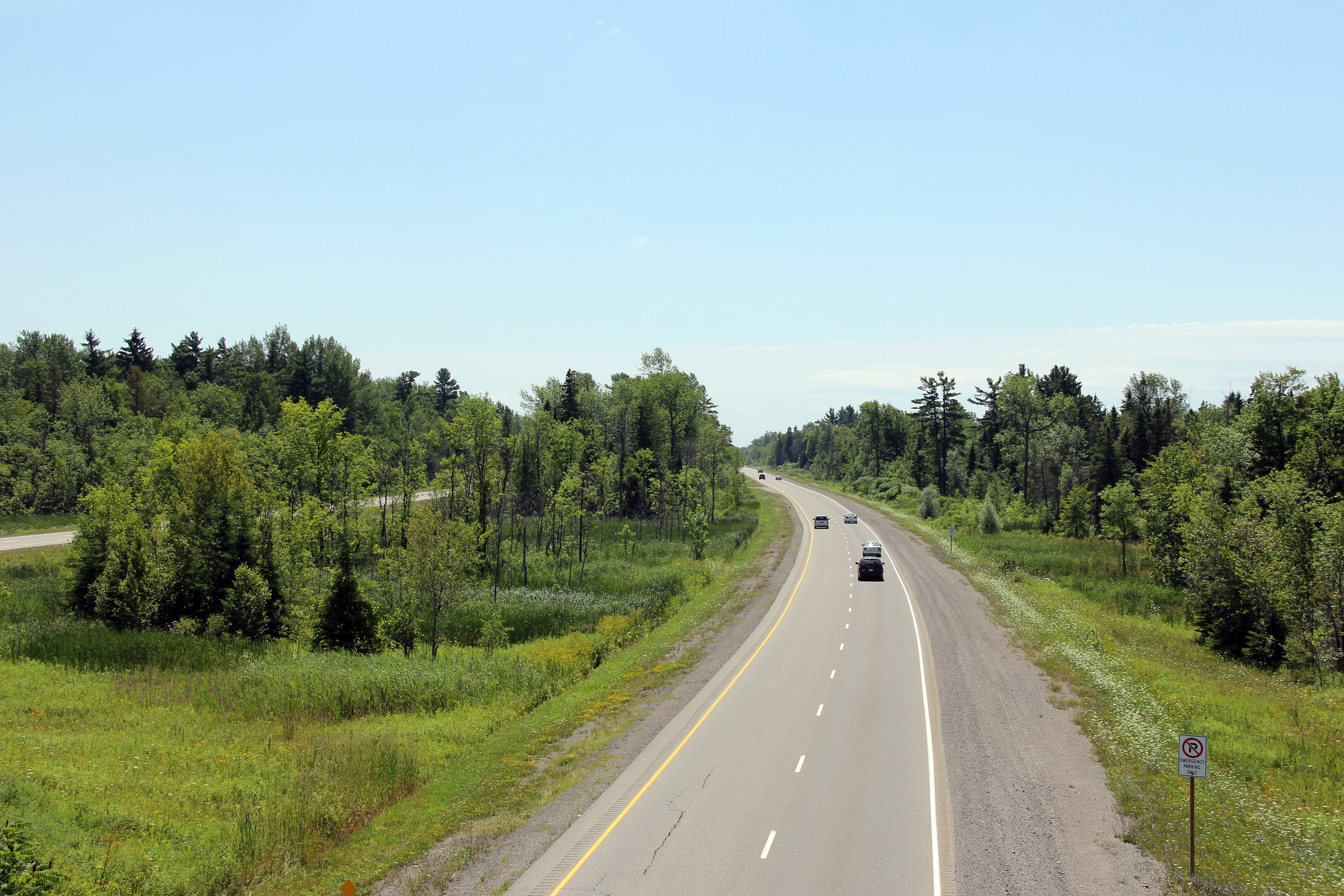
| Township of Edwardsburgh / Cardinal United Counties of Leeds & Grenville |
Highway 416 looking south from the Shanly Road overpass. Shanly Road
is located roughly at kilometre marker 12. Photo taken: July 23rd, 2011. |
 (720x480) (1440x960) (2400x1600) |
||
| Township of Edwardsburgh / Cardinal United Counties of Leeds & Grenville |
Looking north towards Ottawa along Highway 416 from the Shanly Road
overpass. Shanly Road is the first interchange north of Highway 401 on the 416. Photo taken: July 23rd, 2011 |
 (720x480) (1440x960) (2400x1600) |
||
| Township of North
Grenville United Counties of Leeds & Grenville |
Southerly view from the Oxford Station Road overpass. Photo taken: July 2nd, 2012. |
 (720x480) (1440x960) (2400x1600) |
||
| Township of North
Grenville United Counties of Leeds & Grenville |
View looking northerly from the Oxford Station Road overpass. Photo taken: July 2nd, 2012. |
 (720x480) (1440x960) (2400x1600) |
||
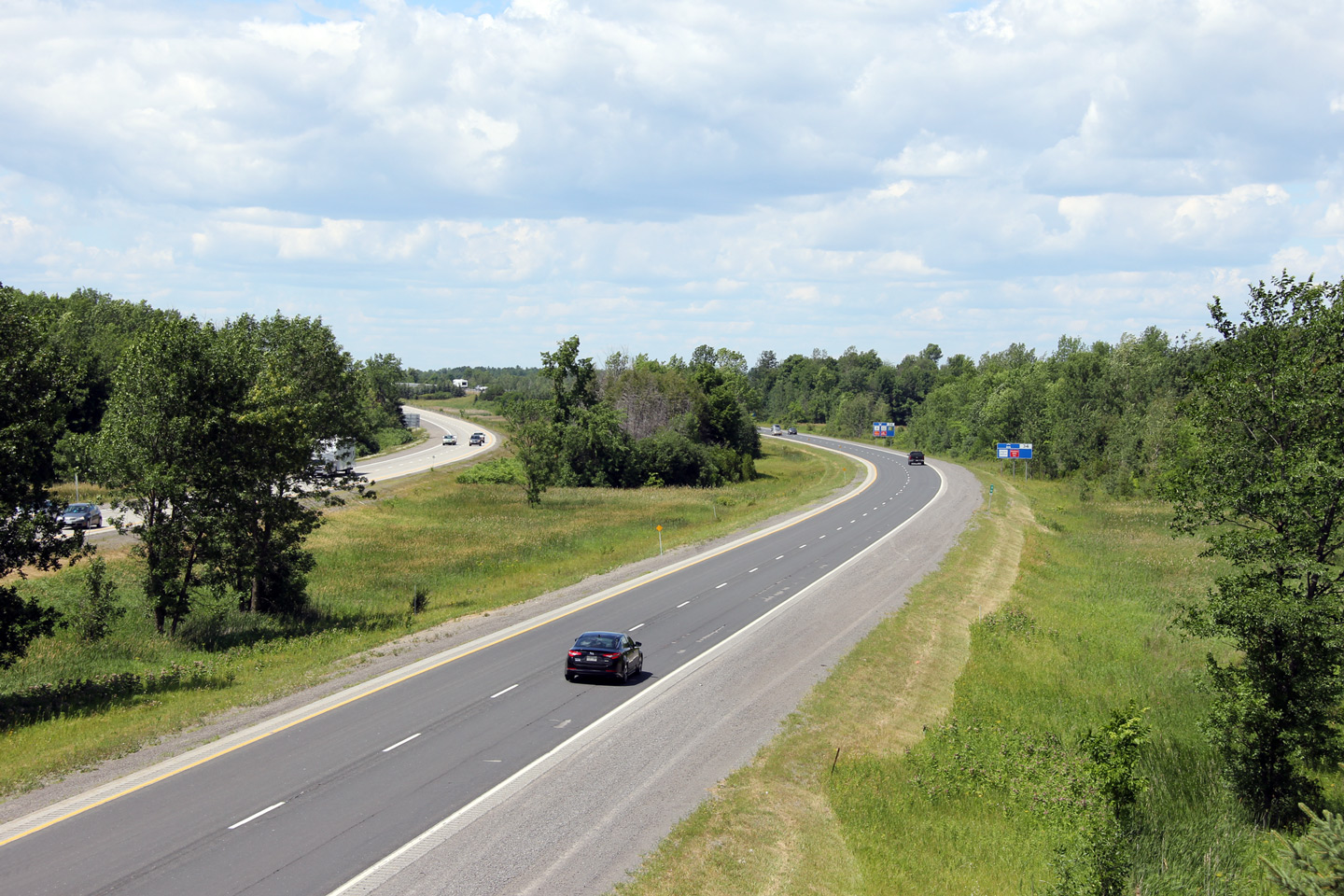
| Township of North
Grenville United Counties of Leeds & Grenville |
View looking southerly from the Leeds & Grenville Road 44 overpass. Photo taken: July 2nd, 2012 |
 (720x480) (1440x960) (2400x1600) |
||
| Township of North
Grenville United Counties of Leeds & Grenville |
Northerly view from the Leeds & Grenville Road 44 overpass. Photo taken: July 2nd, 2012. |
 (720x480) (1440x960) (2400x1600) |
||
| Township of North
Grenville United Counties of Leeds & Grenville |
Southerly view towards the Leeds & Grenville Road 44 interchange from Beach
Road. Photo taken: July 2nd, 2012. |
 (720x480) (1440x960) (2400x1600) |
||
| Township of North
Grenville United Counties of Leeds & Grenville |
Northerly view from Beach Road. Highway 416 is tree-lined for much of
its length. The dense forest of trees that the highway runs through
belies the fact that eastern Ontario is quite populated. Photo taken: July 2nd, 2012. |
 (720x480) (1440x960) (2400x1600) |
||
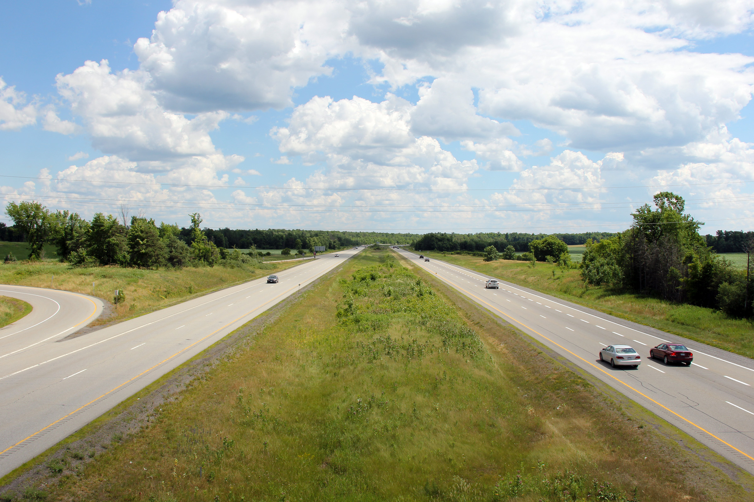
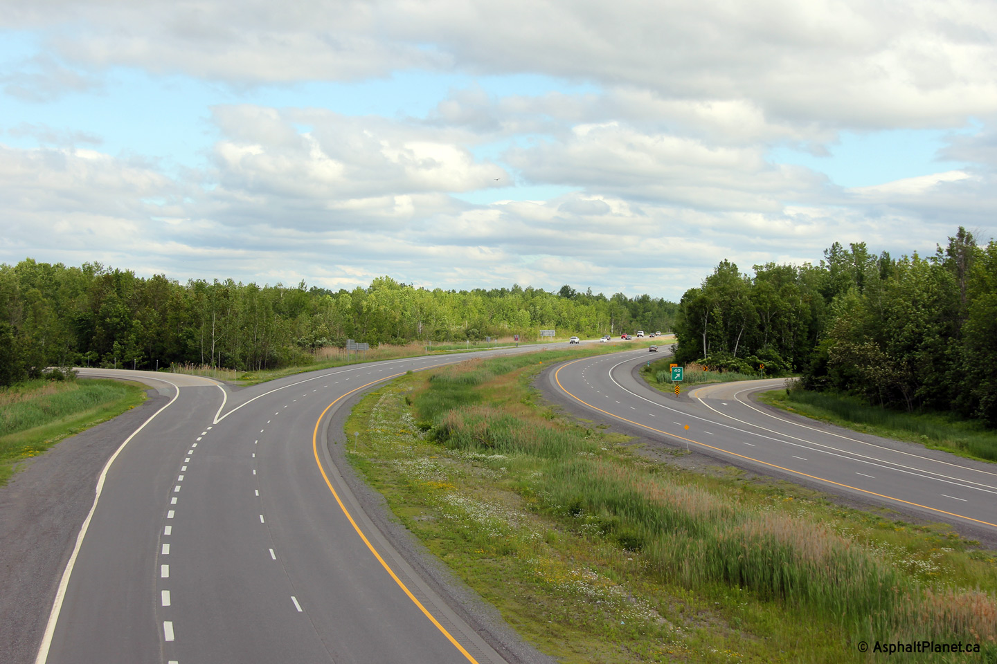
| Township of North
Grenville United Counties of Leeds & Grenville |
Southerly view from the Leeds & Grenville Road 24 overpass. The
pictured blue signs along the southbound lanes of the highway remind
motorists that Highway 416 is Ontario's Veteran's Memorial Highway. Photo taken: July 2nd, 2012. |
 (720x480) (1440x960) (2400x1600) |
||
| Township of North
Grenville United Counties of Leeds & Grenville |
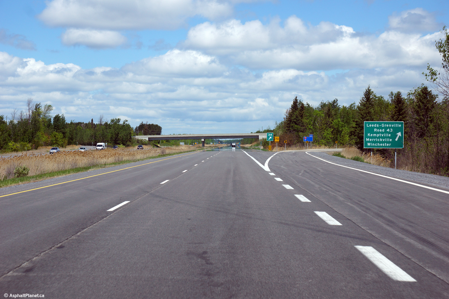
View looking northerly towards the Highway 43
interchange from the Leeds & Grenville Road 24 overpass. Photo taken: July 2nd, 2012. |
 (720x480) (1440x960) (2400x1600) |
||
| Township of North
Grenville United Counties of Leeds & Grenville |
Advanced signage for the Highway 43 interchange. Photo taken: May 22nd, 2015. |
 (720x480) (720x480)(1440x960) (2400x1600) |
||
| Township of North
Grenville United Counties of Leeds & Grenville |
Signage at the northbound off-ramp to Highway 43. Photo taken: May 22nd, 2015. |
 (720x480) (720x480)(1440x960) (2400x1600) |
||
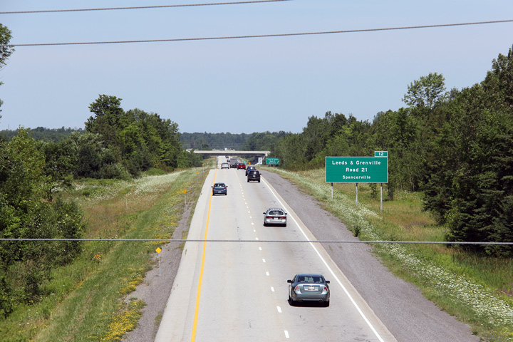
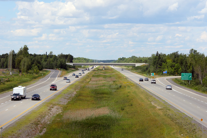
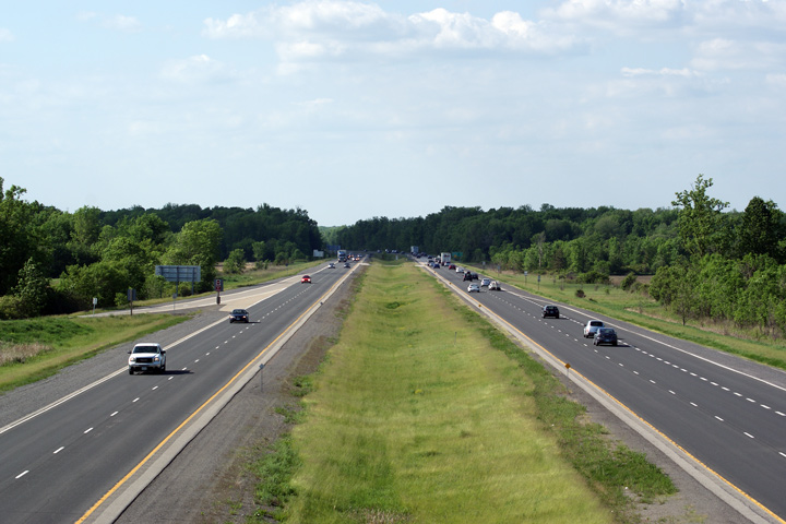
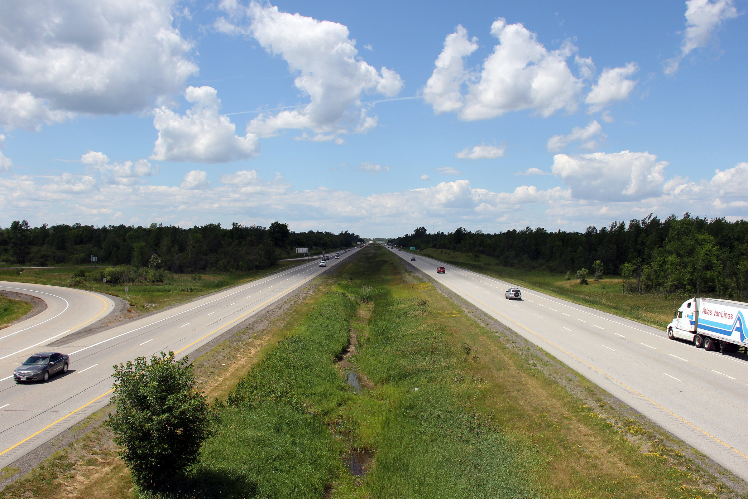
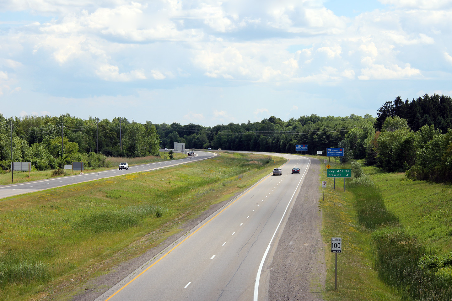
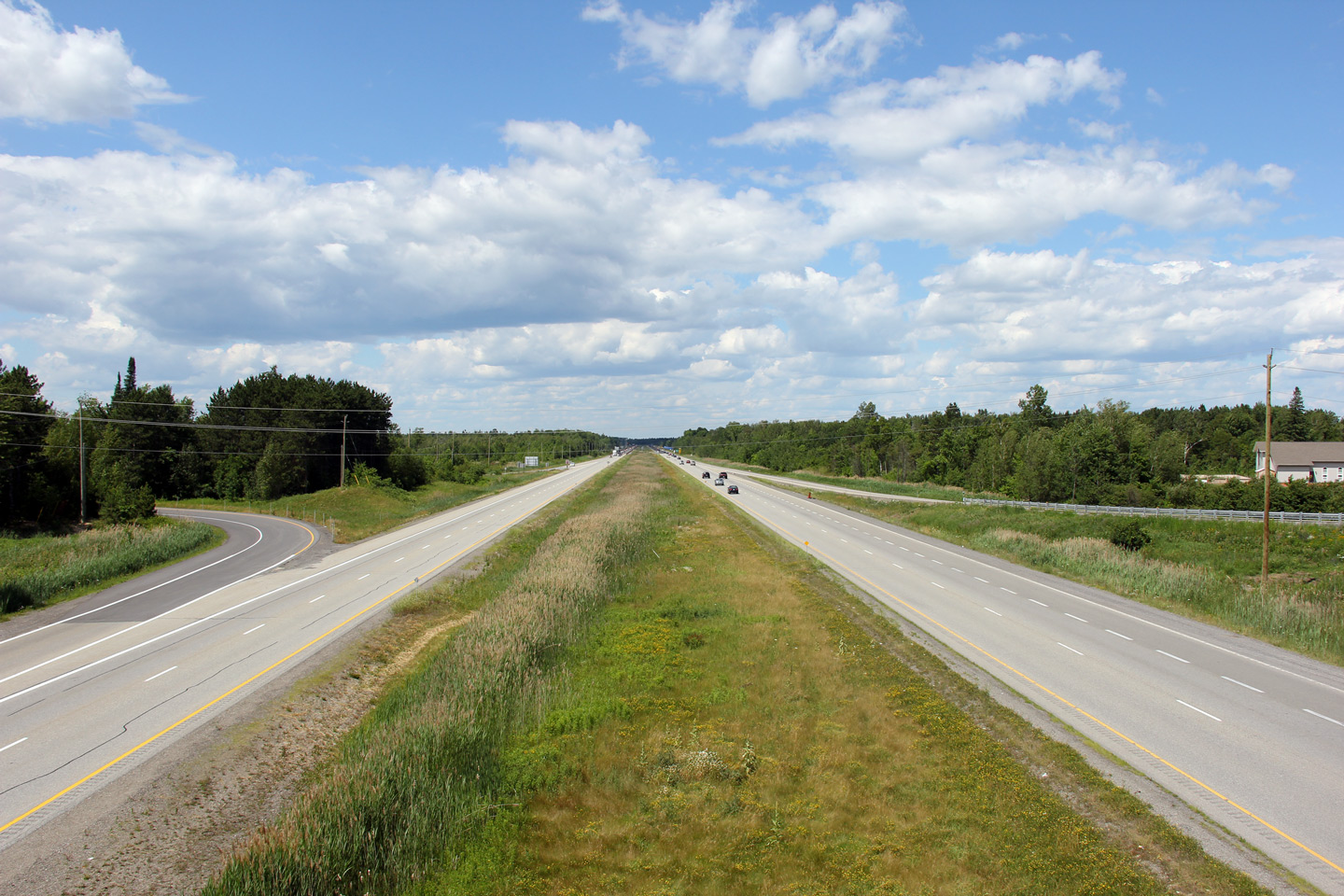
| Township of North Grenville United Counties of Leeds & Grenville |
Looking south along Highway 416 from the Highway 43 overpass near Kemptville.
Kemptville is the only sizable community in the vicinity of Highway 416
aside from Ottawa. Photo taken: July 2nd, 2012. |
 (720x480) (1440x960) (2400x1600) |
||
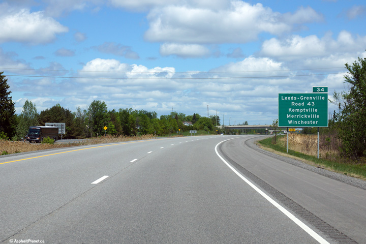
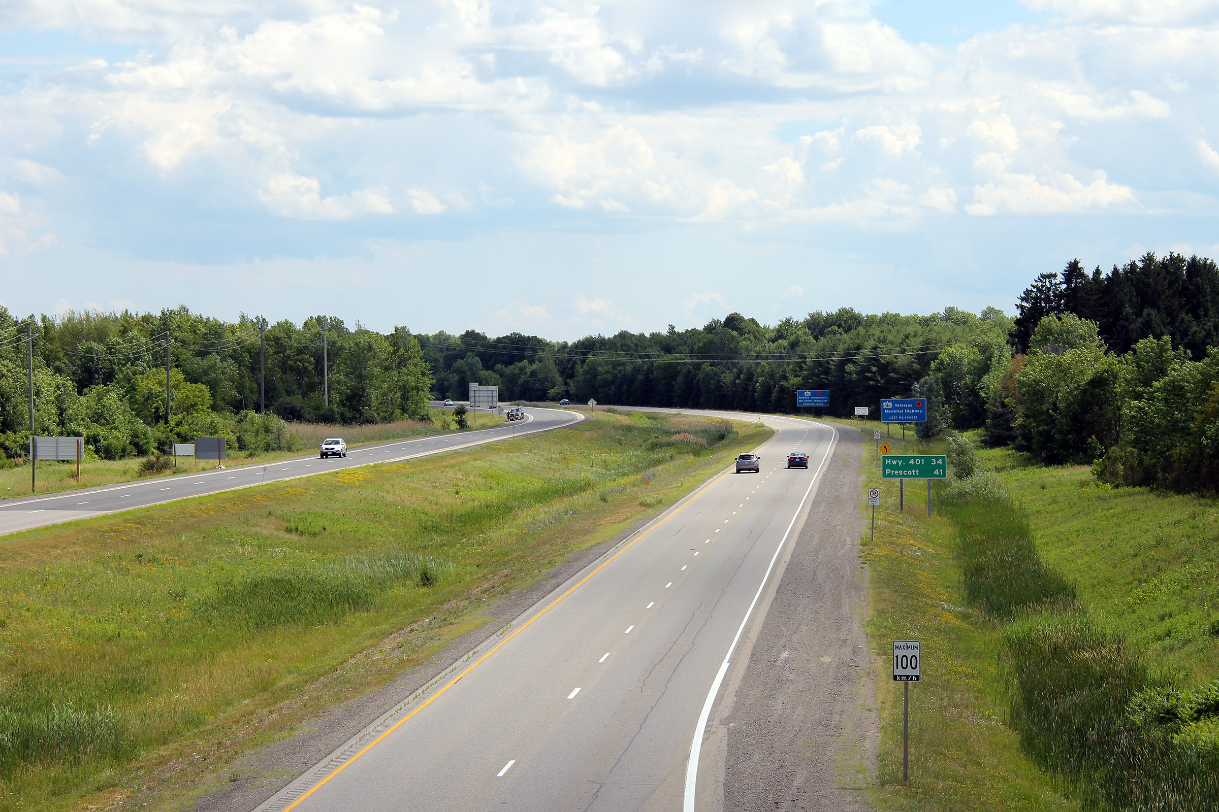
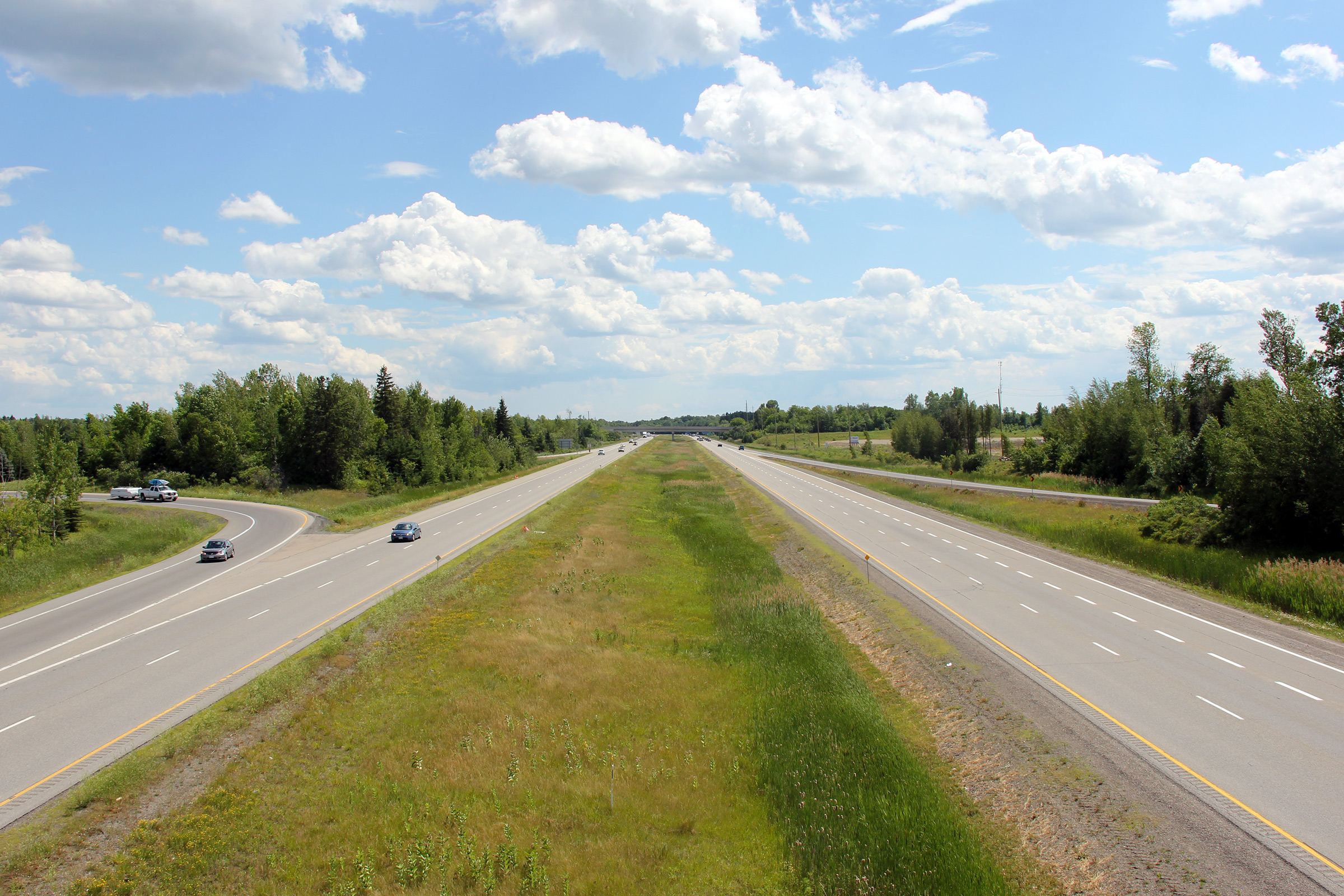
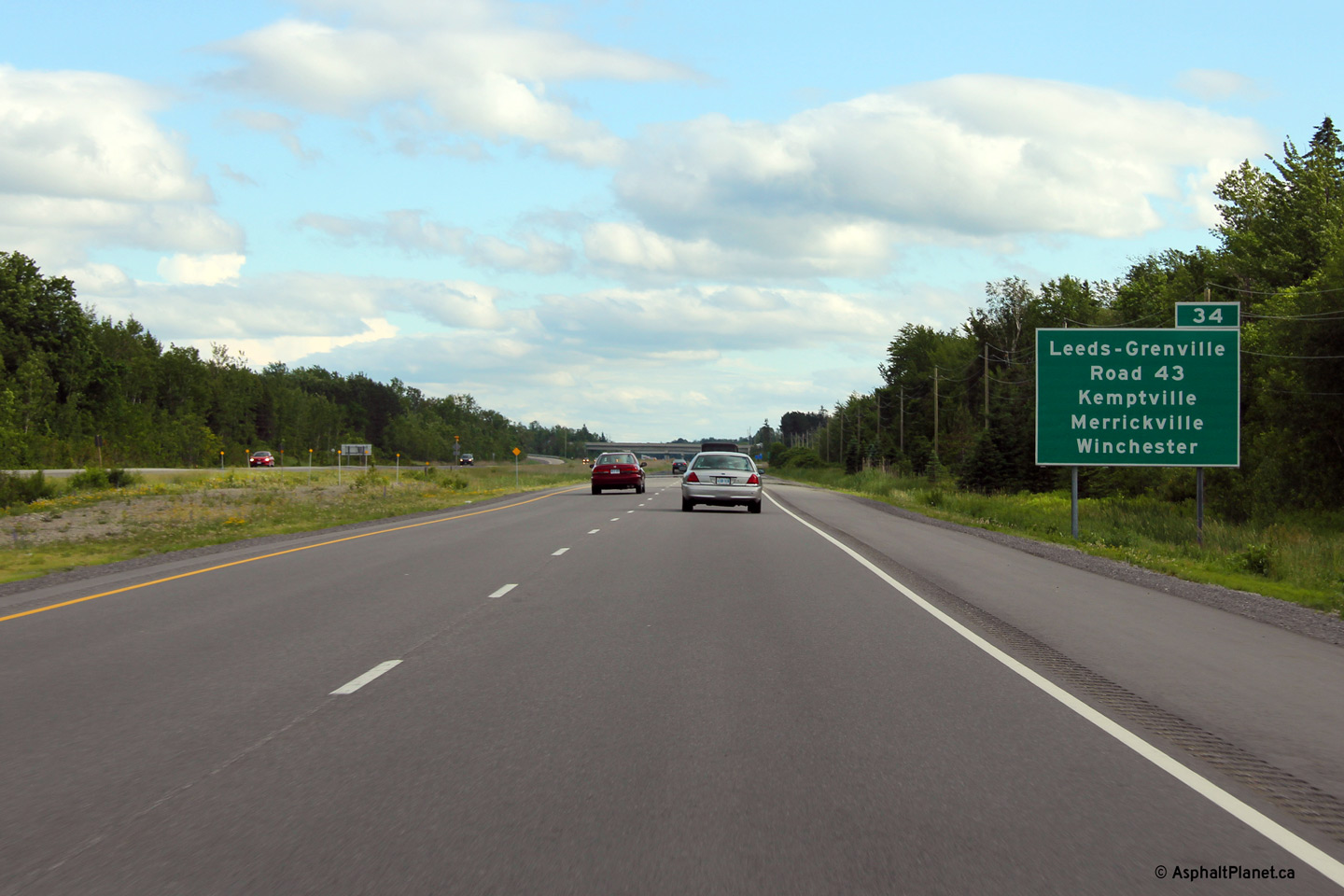
| Township of North Grenville United Counties of Leeds & Grenville |
This picture showcases highway 416 looking north from the Highway 43
overpass. Highway 43 is located roughly at kilometre
marker 34. A few kilometres north of this overpass, Highway 416
crosses the Rideau River and Canal. Photo taken: July 2nd, 2012. |
 (720x480) (1440x960) (2400x1600) |
||
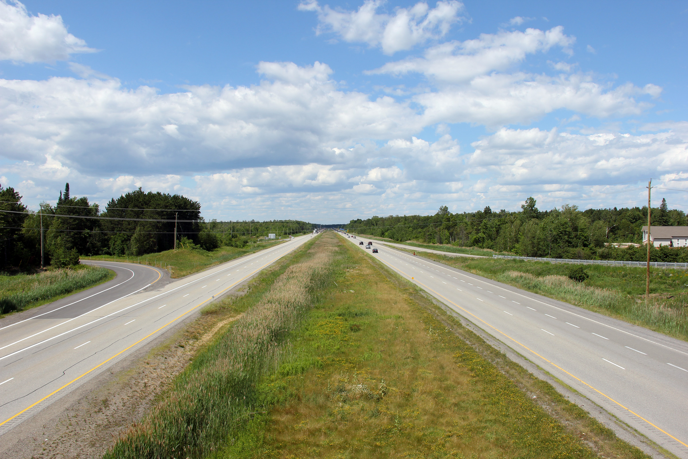
| Township of North Grenville United Counties of Leeds & Grenville |
Southerly view at the off-ramp to Highway 43. Photo taken: June 17th, 2013. |
 (720x480) (720x480)(1440x960) (2400x1600) |
||
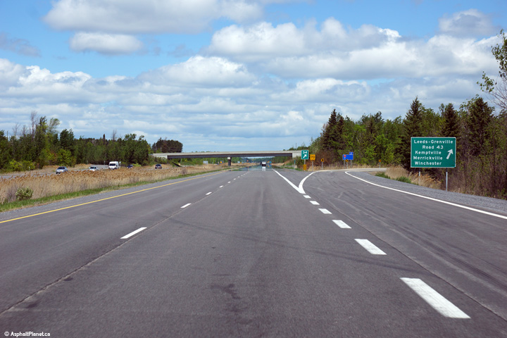
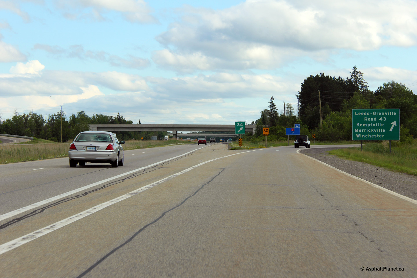
| Township of North Grenville United Counties of Leeds & Grenville |
Advanced signage for the Highway 43 interchange. Highway 416 was extended
southerly in the late 1990s, and as such, this signage never actually
indicated that what is now Leeds & Grenville Road 43 was first a highway
with the same number. Photo taken: June 17th, 2013. |
 (720x480) (720x480)(1440x960) (2400x1600) |
||
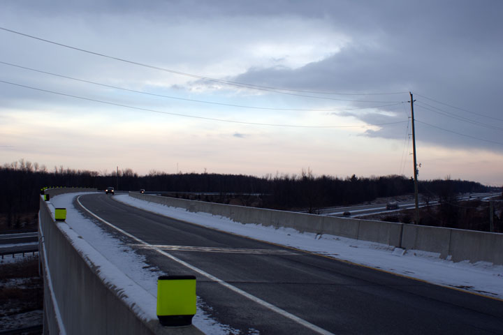
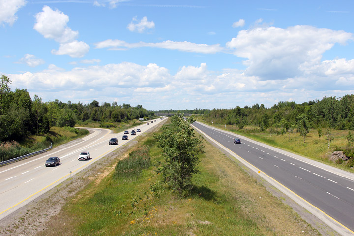
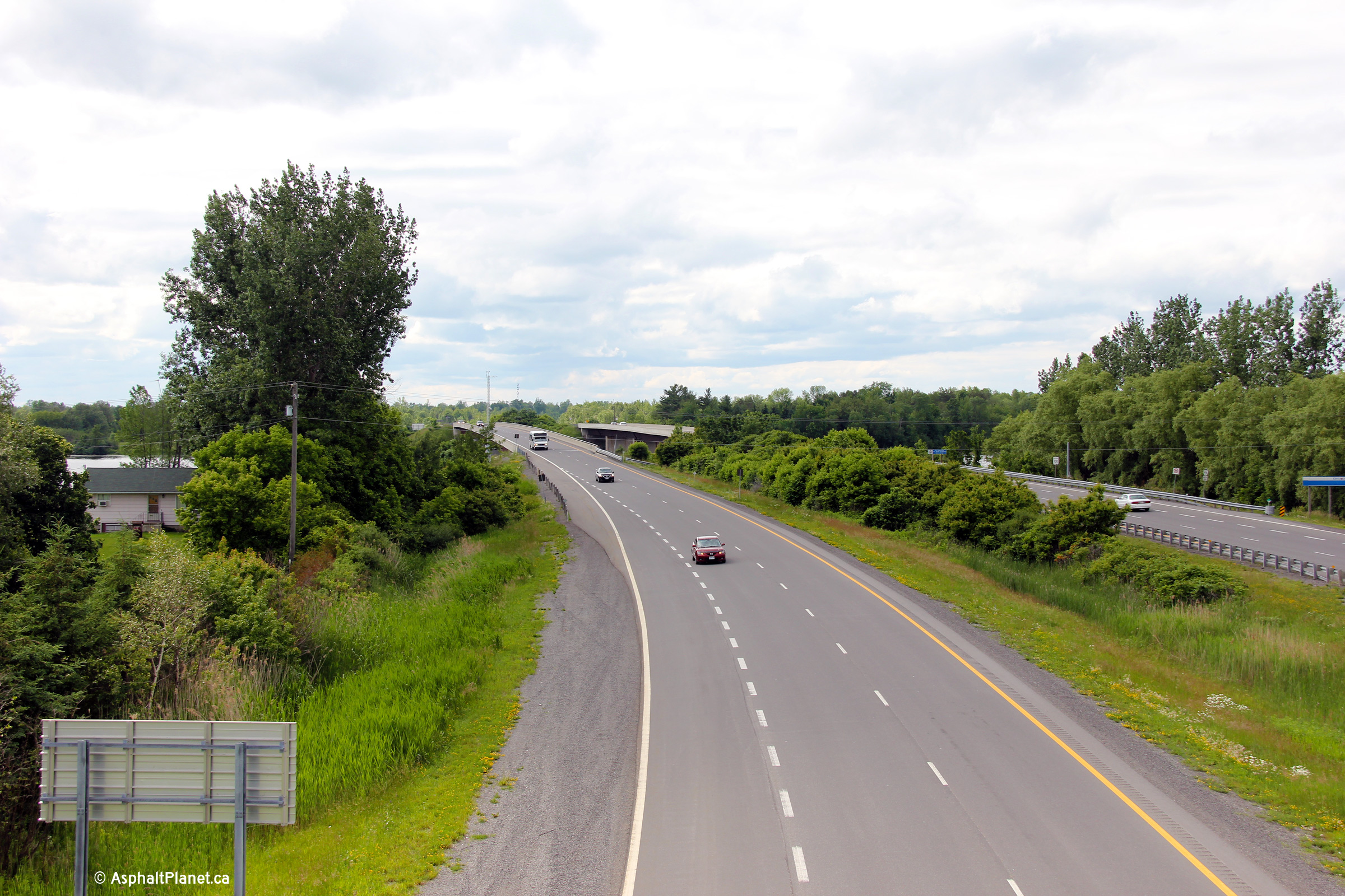
| Township of North Grenville United Counties of Leeds & Grenville |
This view looks southerly from the Rideau River Road overpass. Photo taken: June 17th, 2013. |
 (720x480) (1440x960) (2400x1600) |
||
| Township of North Grenville United Counties of Leeds & Grenville |
These views look northerly from the Rideau River Road overpass towards the
Rideau River bridge. Photos taken: June 17th, 2013. |
 (720x480) (1440x960) (2400x1600)  (720x480) (1440x960) (2400x1600) |
||
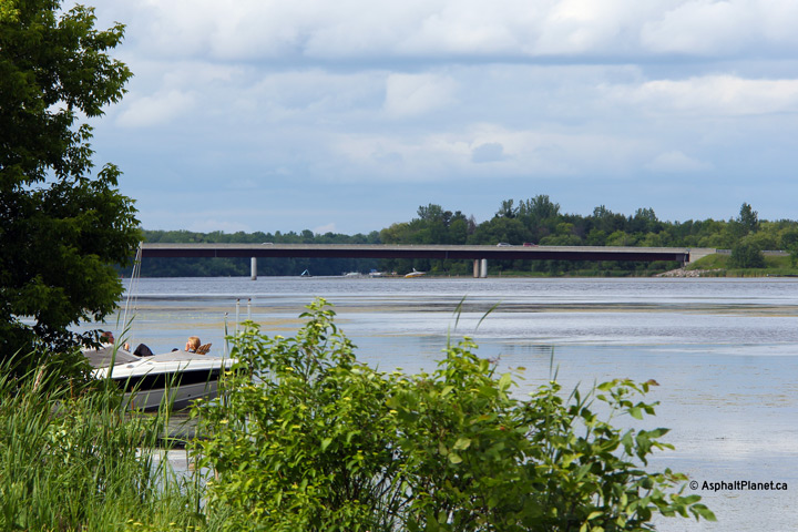
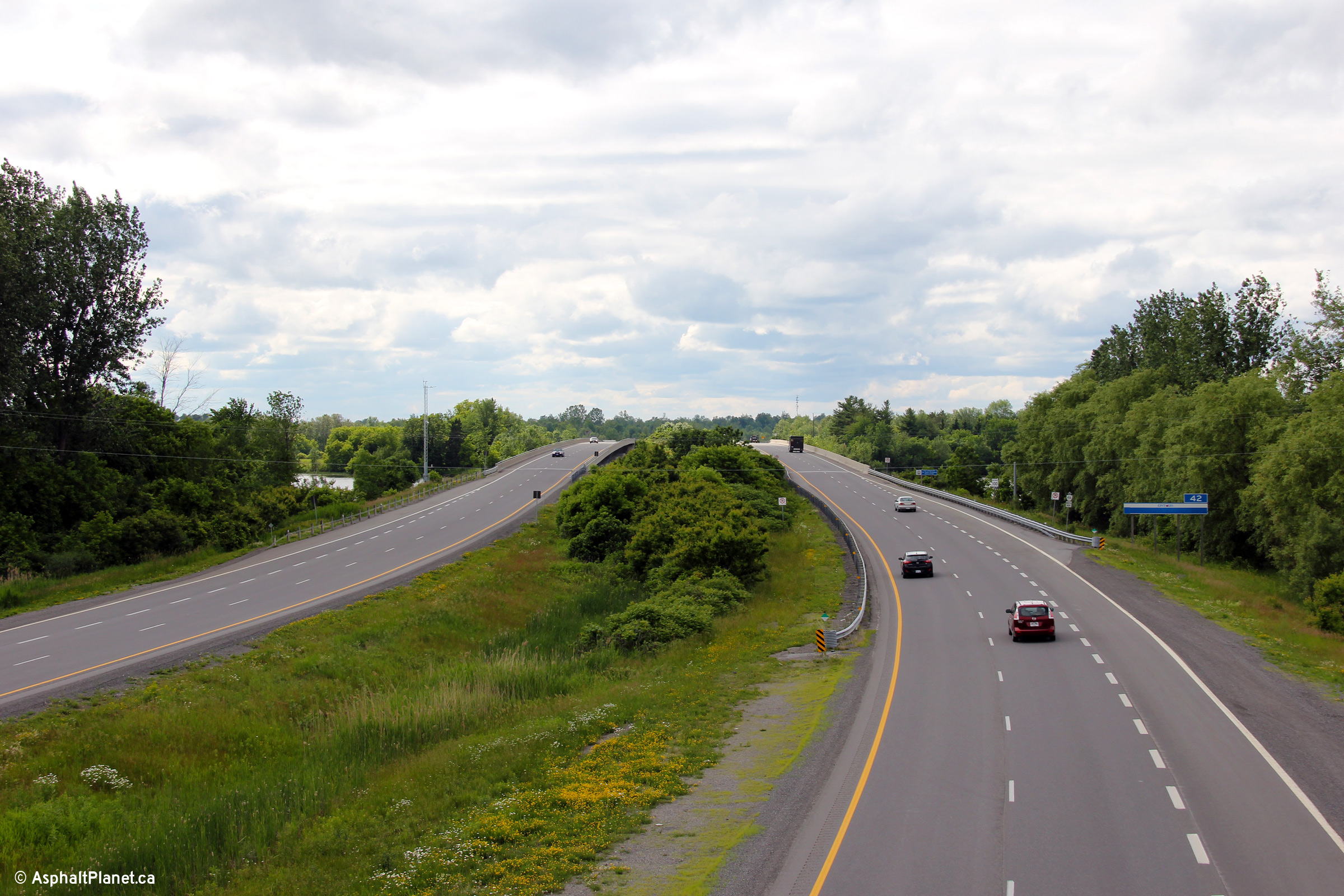
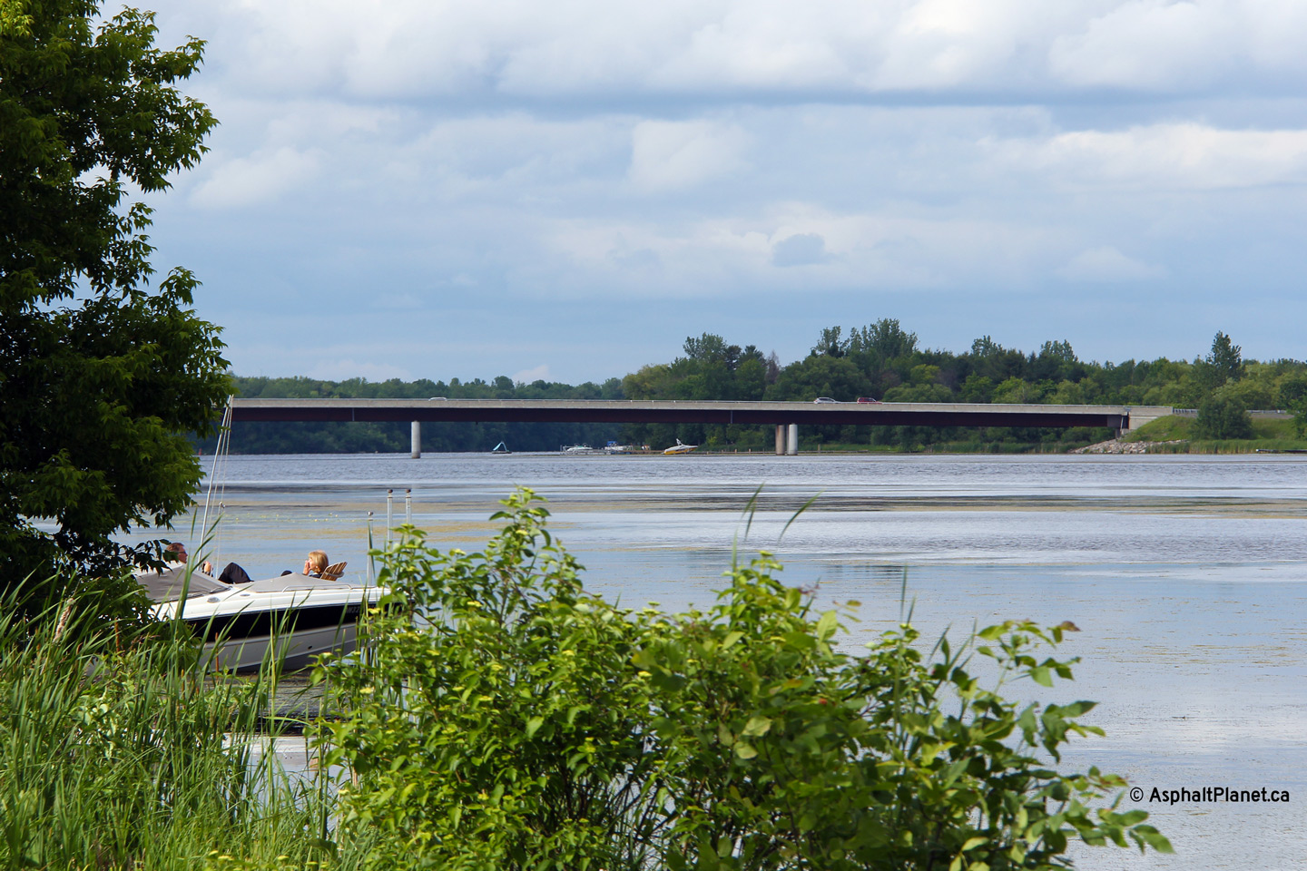
| City of Ottawa |
This view looks easterly along the Rideau River towards the twin Highway 416
structures. The northbound structure was constructed in the early
1970s and carried the Highway 16 designation until the parallel southbound
span was completed during the mid 1990s. Photo taken: June 17th, 2013. |
 (720x480) (1440x960) (2400x1600) |
||
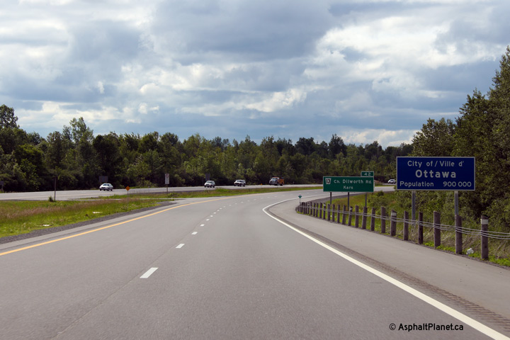
| City of Ottawa |
Beyond the Rideau River bridge, Highway 416 enters the City of Ottawa.
The City of Ottawa is a large single tier municipality that was formed in
2001 when the city was amalgamated with the former Regional Municipality of
Ottawa-Carleton. Photo taken: June 17th, 2013. |
 (720x480) (720x480)(1440x960) (2400x1600) |
||
| City of Ottawa |
Southerly view towards the Rideau River bridge from the Dilworth Road
overpass. Photo taken: June 17th, 2013. |
 (720x480) (1440x960) (2400x1600) |
||
| City of Ottawa |
This view looks northerly from the Dilworth Road overpass. Photo taken: June 17th, 2013. |
 (720x480) (1440x960) (2400x1600) |
||
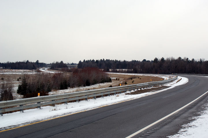
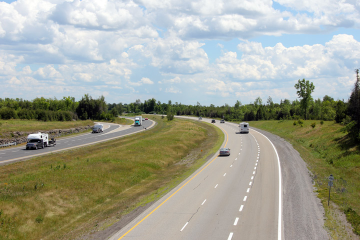
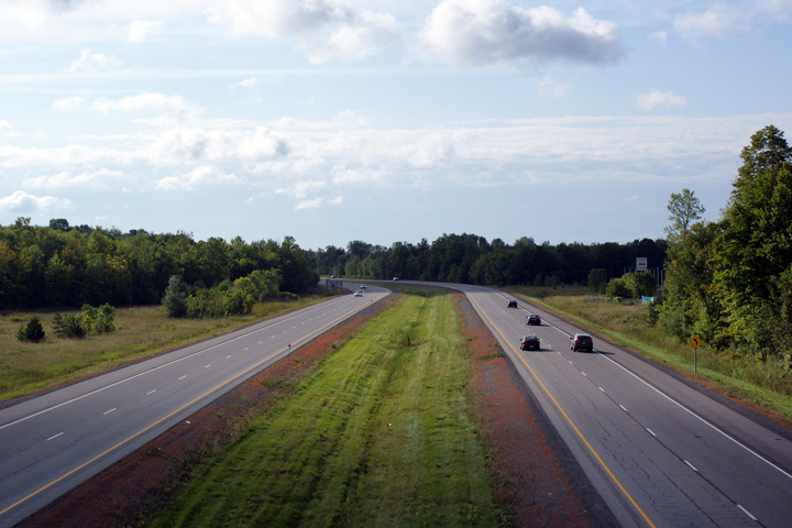
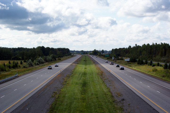
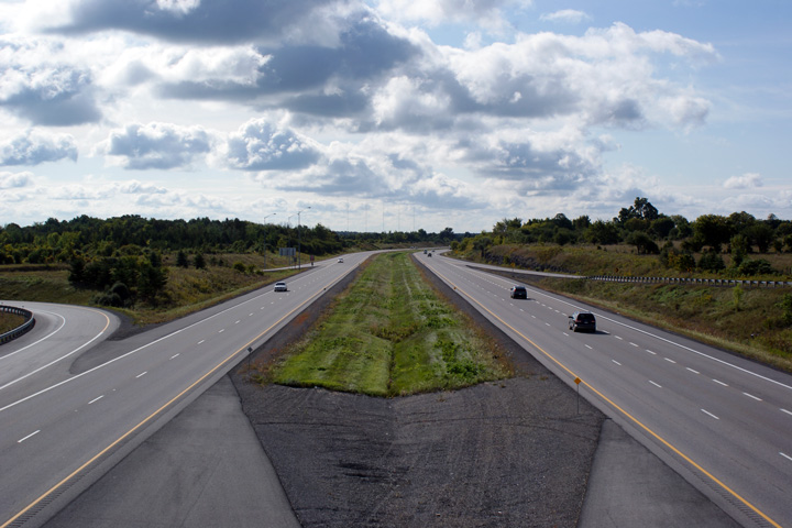
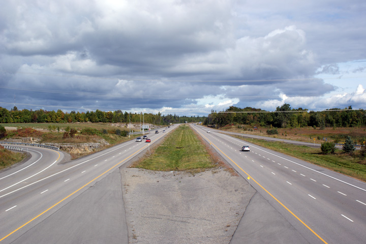
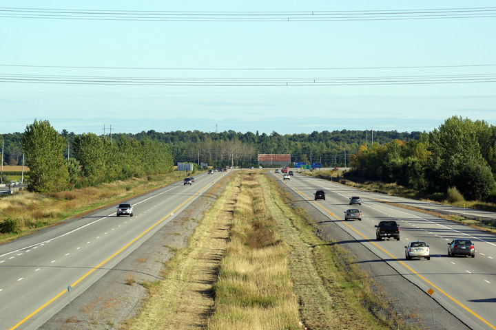
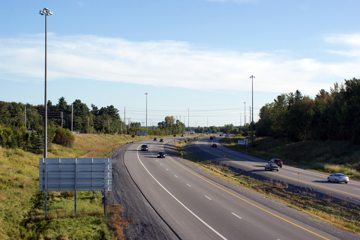
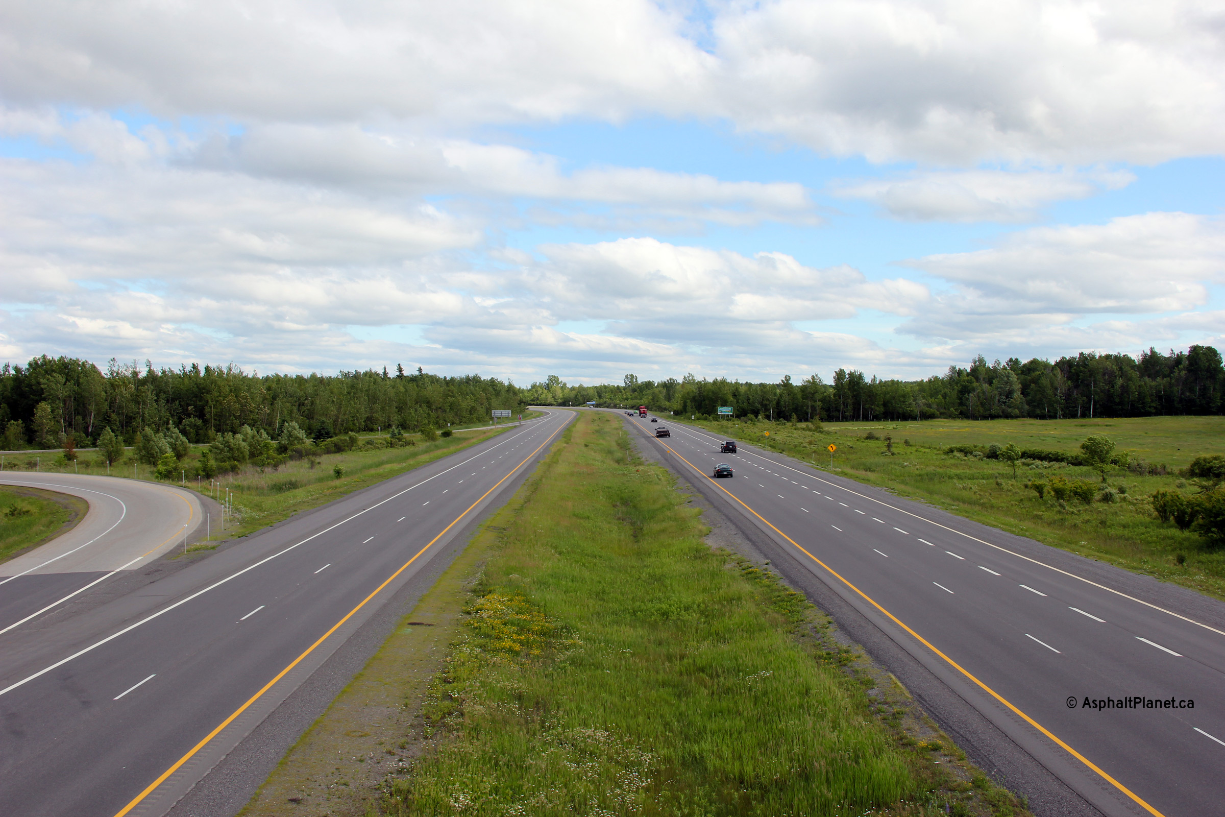
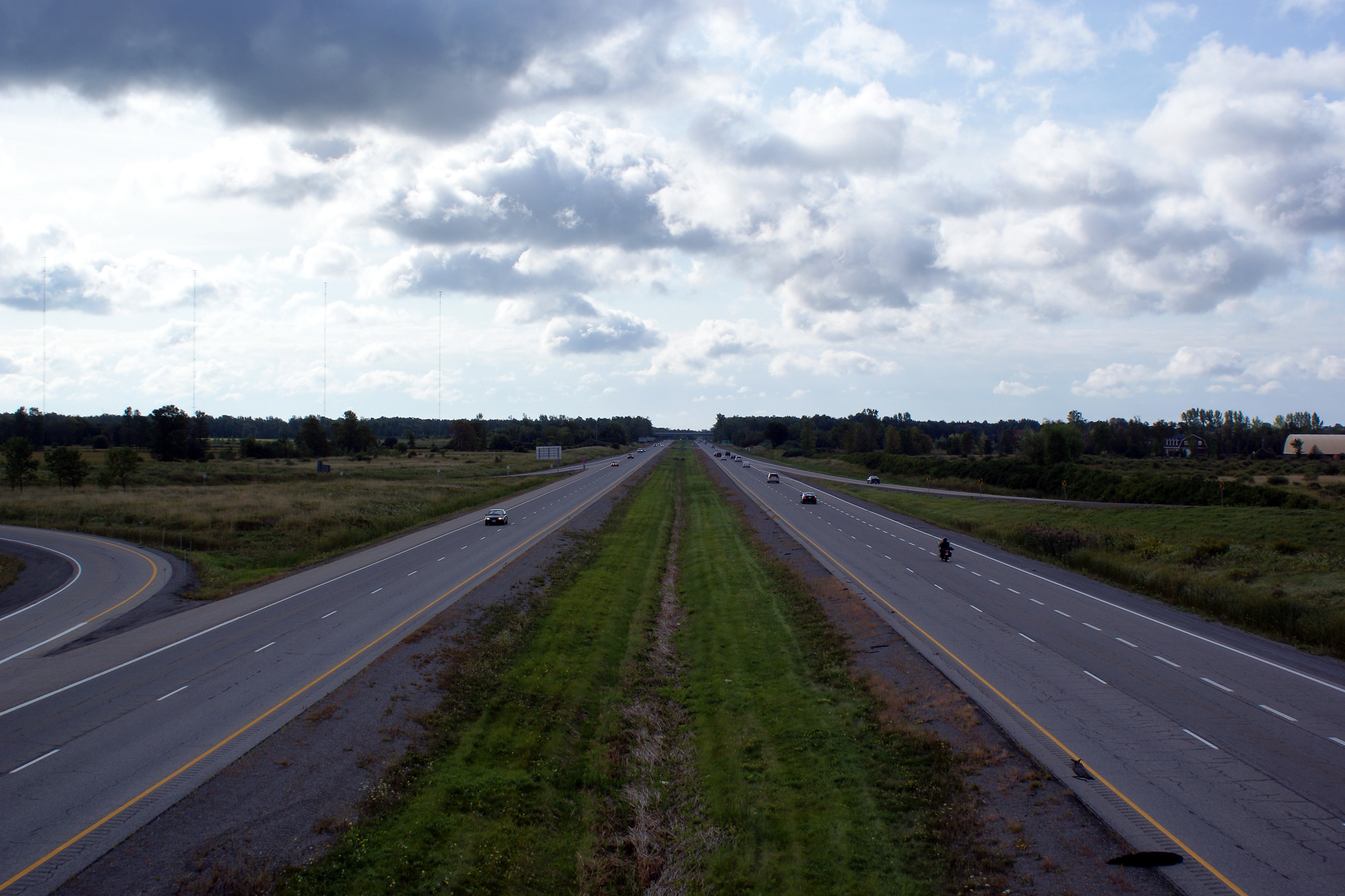
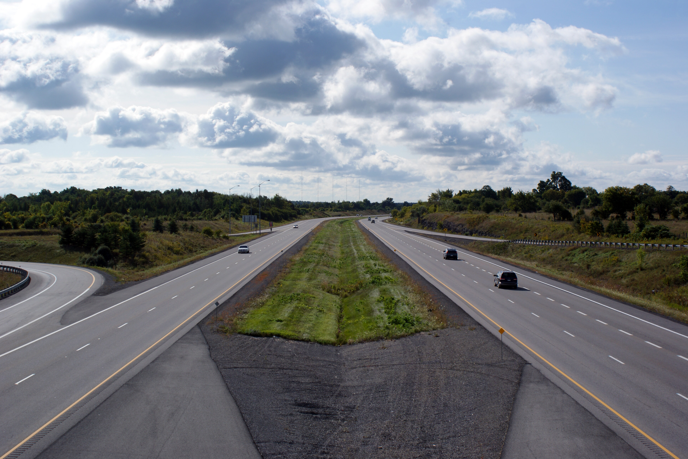
| City of Ottawa |
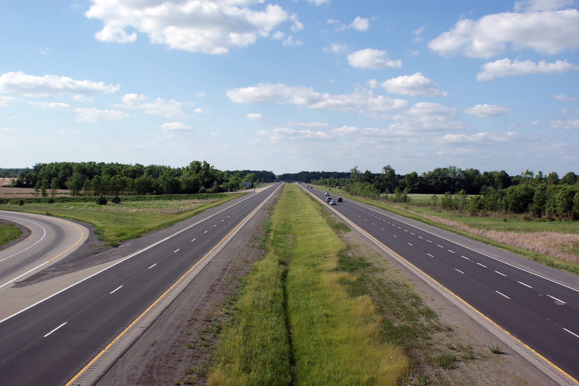
Southerly view from Roger Stevens Road along Highway 416. Highway 416
isn't a particularly exciting drive. Photo taken: May 24th, 2010. |
 (720x480) (1440x960) (2400x1600) |
||
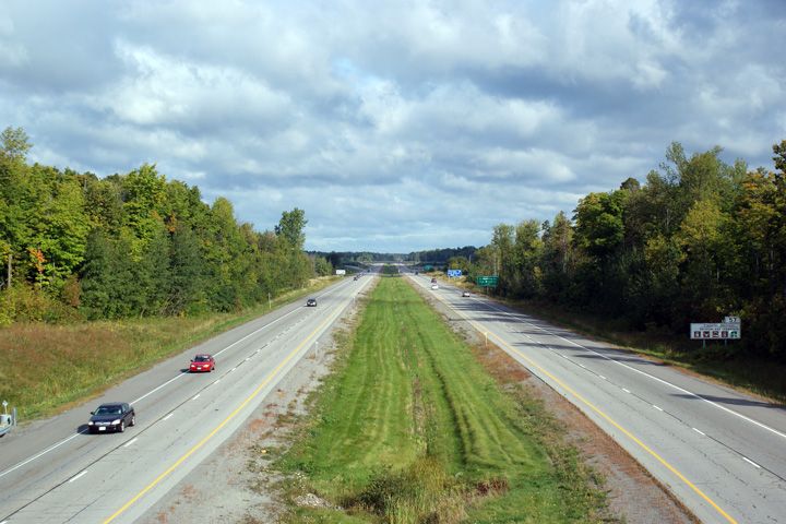
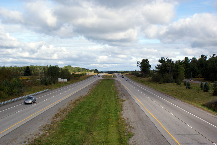
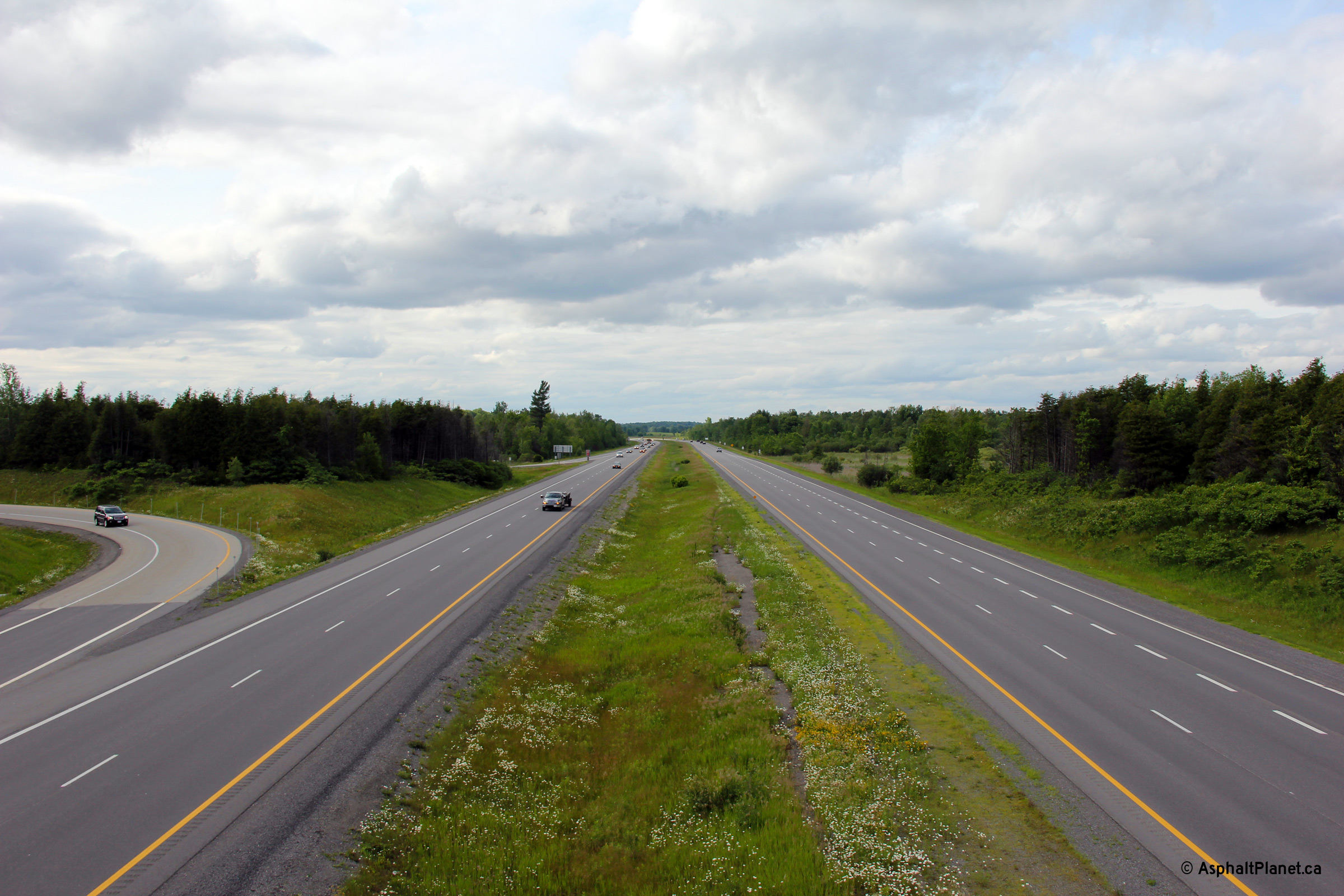
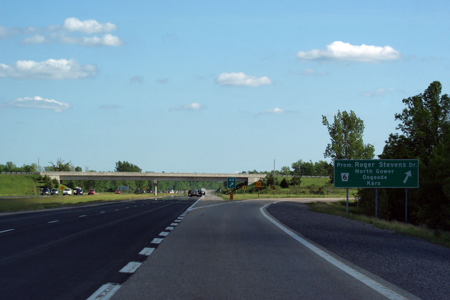
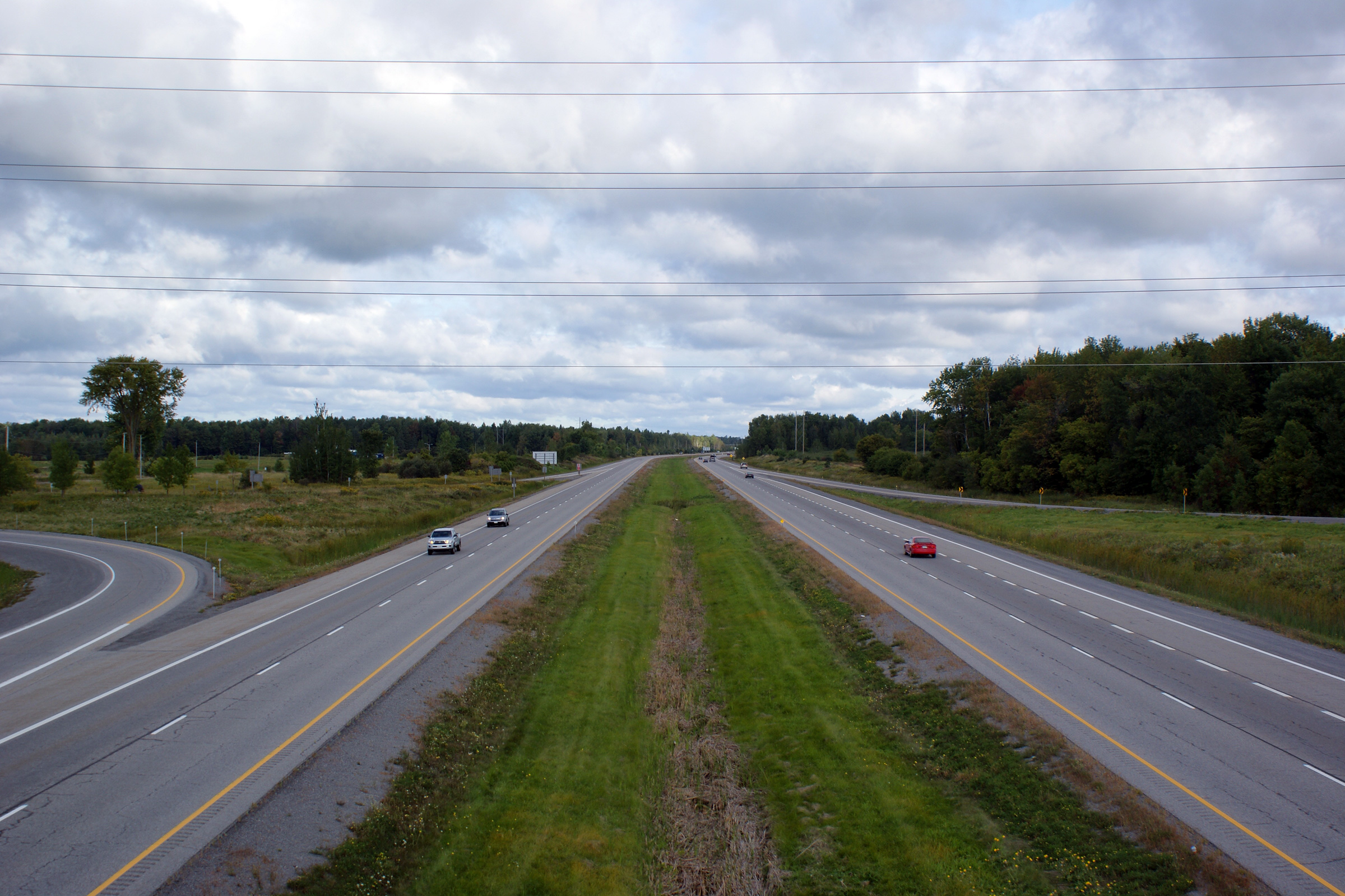
| City of Ottawa |
Two northerly views along Highway 416 from the Roger Stevens Road overpass.
Roger Stevens is an important east-west county road that links
Highway 15 at Smiths Falls to Highway 416. Photo taken: May 24th, 2010. |
 |
||
| City of Ottawa |
Southbound signage for Roger Stevens Road. Photo taken: May 24th, 2010. |
 |
||
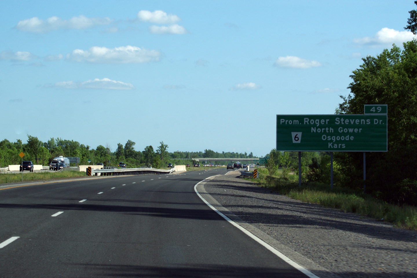
| City of Ottawa |
Southbound advanced signage for the Roger Stevens Road interchange.
Note that the county road shield is placed adjacent to the control city
information on the signage, rather than adjacent to the road name.
Also, notice that the distance to the interchange is also omitted from the
sign. Signs like this are very common in Eastern Ontario. Photo taken: May 24th, 2010. |
 (720x480) (720x480)(1440x960) (2400x1600) |
||
| City of Ottawa |
View looking southerly towards Highway 401 from the Prince of Wales Drive
overpass. Photo taken: September 13th, 2009. |
 |
||
| City of Ottawa |
Northerly view from the Prince of Wales Drive overpass. Prince of
Wales Drive was the former alignment of Highway 16 leading into Ottawa prior
to the completion of the 416. For a very brief period of time, Highway
16 co-existed with Highway 416 northerly from
Bankfield Road to Ottawa. Highway 16 has since been transferred
from the MTO to the City of Ottawa. Photo taken: September 13th, 2009. |
 |
||
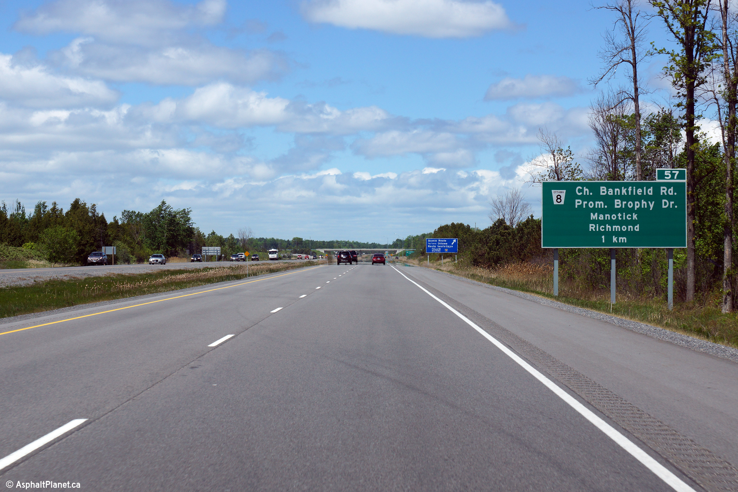
| City of Ottawa |
Northbound advanced signage for the Bankfield Road interchange. Photo taken: May 22nd, 2015. |
 (720x480) (720x480)(1440x960) (2400x1600) |
||
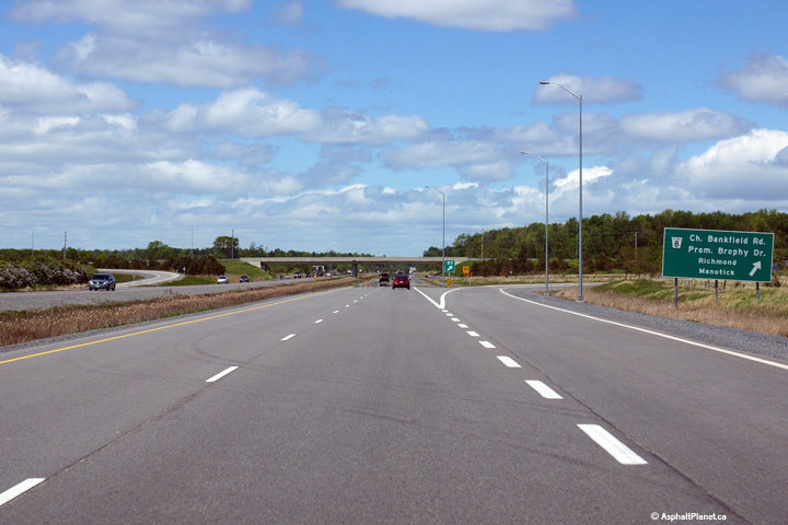
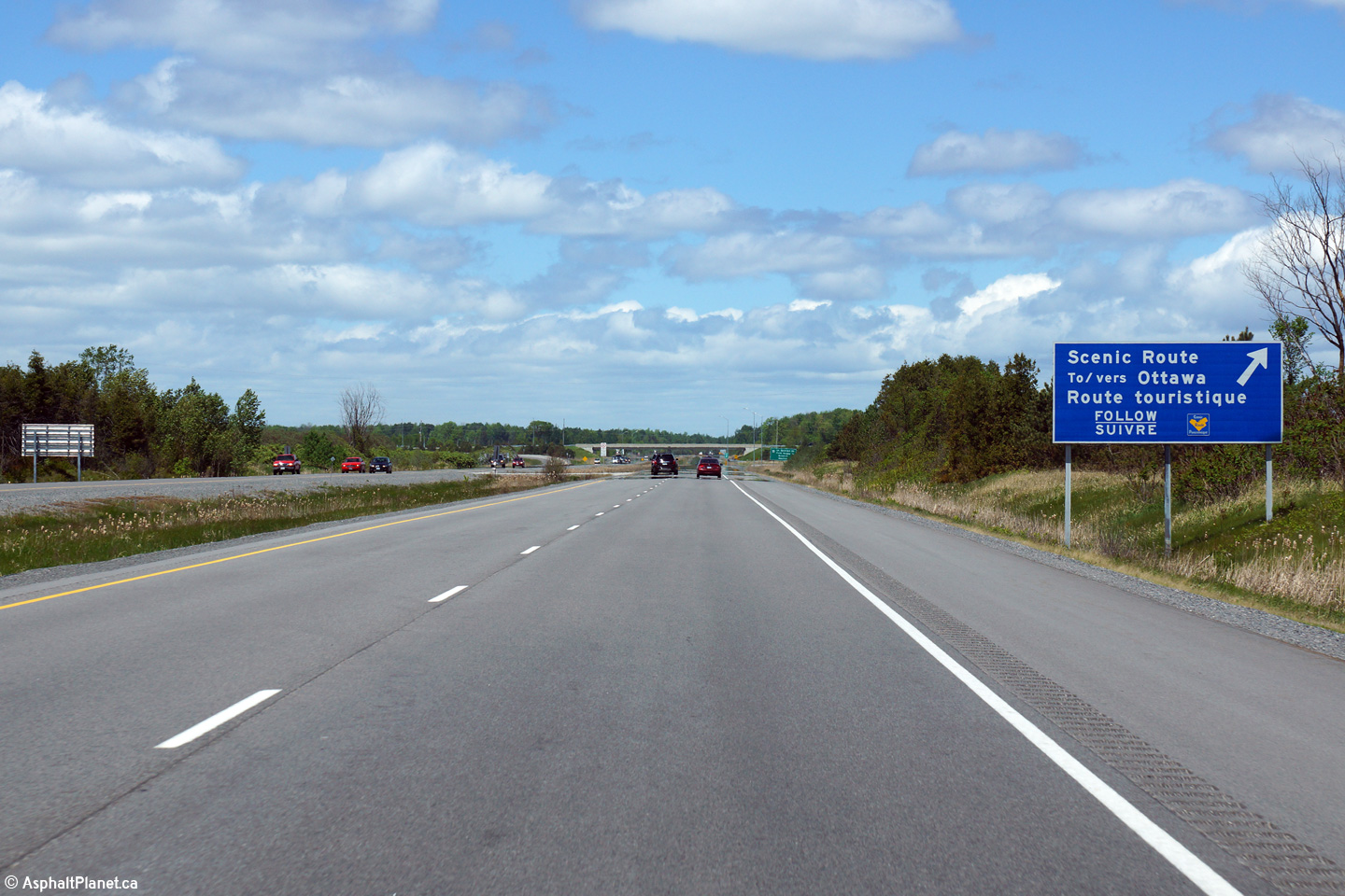
| City of Ottawa |
Motorists looking for a scenic route to Ottawa are directect to follow
Bankfield Road. Photo taken: May 22nd, 2015. |
 (720x480) (720x480)(1440x960) (2400x1600) |
||
| City of Ottawa |
View a the northbound off-ramp to Bankfield Road. Photo taken: May 22nd, 2015. |
 (720x480) (720x480)(1440x960) (2400x1600) |
||
| City of Ottawa |
Looking south along Highway 416 from the Bankfield Road overpass. Photo taken: September 13th, 2009. |
 |
||
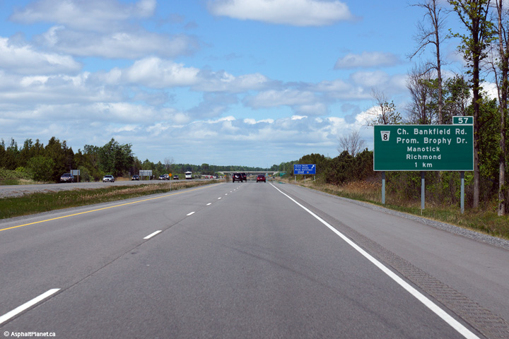
| City of Ottawa |
Highway 416 looking north from the Bankfield Road overpass. Bankfield
Road is located roughly at kilometre marker 57. Photo taken: September 13th, 2009. |
|||
| City of Ottawa |
Southerly view towards the Bankfield Road interchange from Barnsdale Road. Photo taken: September 13th, 2009. |
 |
||
| City of Ottawa |
Northerly view from the Barnsdale Road overpass. Photo taken: September 13th, 2009. |
 |
||
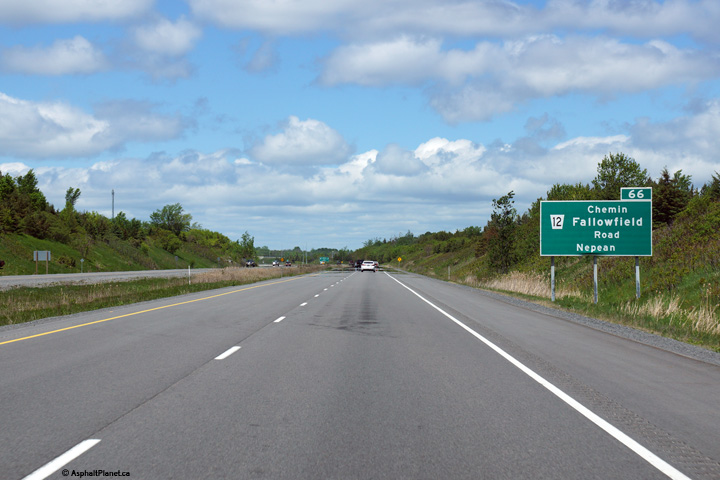
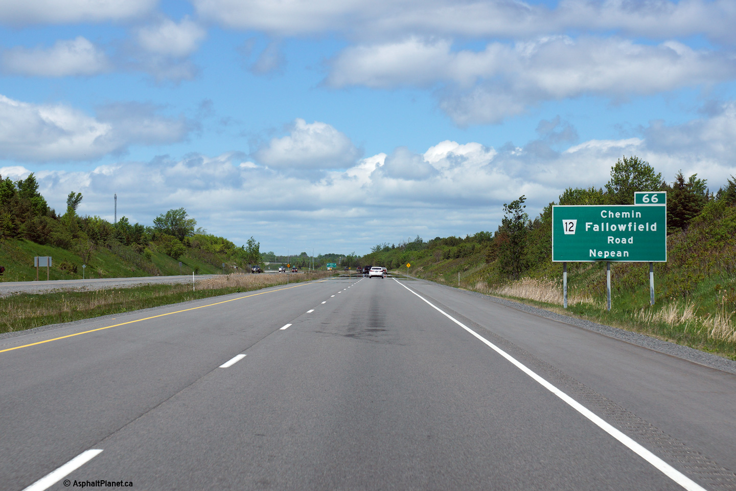
| City of Ottawa |
Northbound advanced signage for the Fallowfield Road interchange. Photo taken: May 22nd, 2015. |
 (720x480) (720x480)(1440x960) (2400x1600) |
||
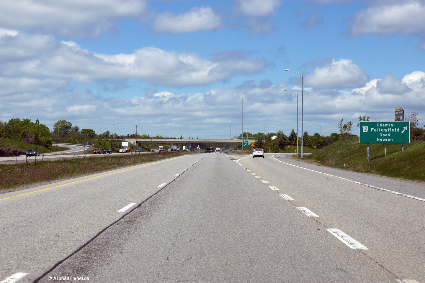
| City of Ottawa |
Signage at the northbound off-ramp to Fallowfield Road. Photo taken: May 22nd, 2015. |
 (720x480) (720x480)(1440x960) (2400x1600) |
||
| City of Ottawa |
Southerly view at the Fallowfield Road interchange. Photo taken: September 13th, 2009. |
 |
||
| City of Ottawa |
Northerly view from the Fallowfield Road overpass. The Ottawa suburb
of Barrhaven is accessible via Followfield Road. Photo taken: September 13th, 2009. |
 |
||
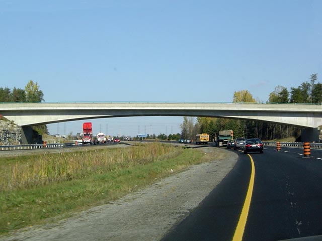
| City of Ottawa |
Driving north through the Stony Swamp Access Bridge. This is the
longest single span concrete rigid frame bridge over an freeway in Ontario.
This bridge carries traffic from Ottawa into a National Capital Commission
Park, and was surely designed to serve as a Landmark for travelers entering
Ottawa. Picture taken: October 22nd, 2004. |
 |
||
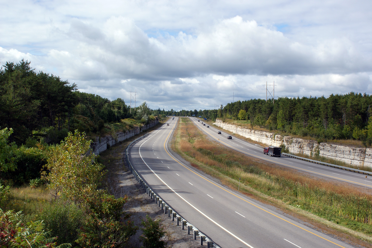
| City of Ottawa |
Southerly view from the Lytle Avenue overpass (the Stony Swamp Access
Bridge). Exposed limestone bedrock is a fairly common feature along the
highways that traverse the Ottawa Valley. Photo taken: September 13th, 2009. |
 |
||
| City of Ottawa |
Northerly view towards Ottawa from the Lytle Avenue overpass. Photo taken: September 13th, 2009. |
 |
||
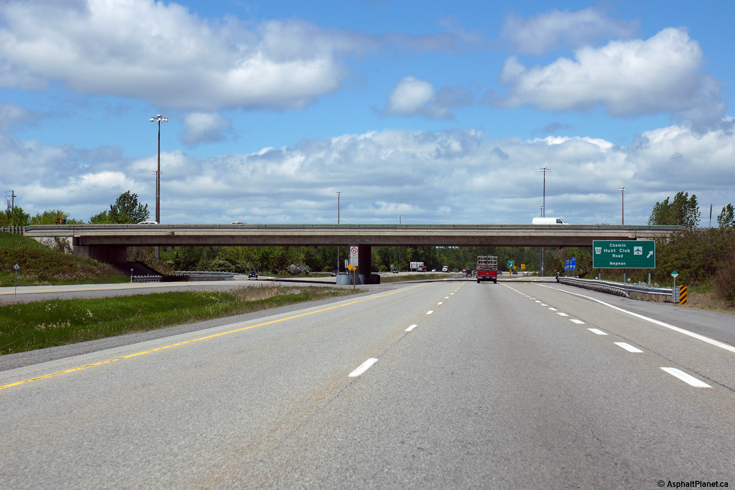
| City of Ottawa |
Northbound advanced signage for the Hunt Club Road interchange. Photo taken: May 22nd, 2015. |
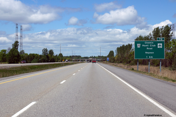 (720x480) (720x480)(1440x960) (2400x1600) |
||
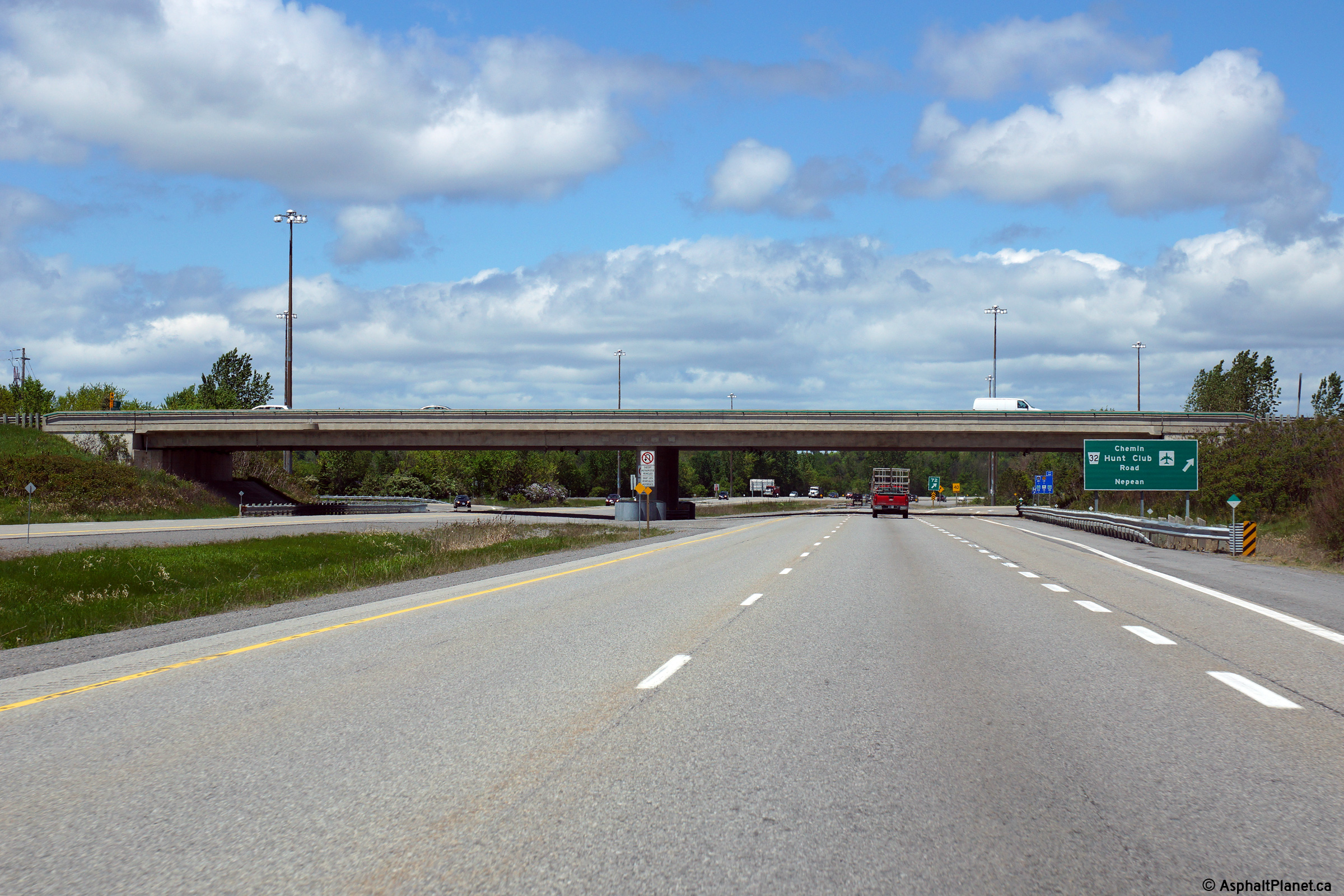
| City of Ottawa |
Signage at the northbound off-ramp to Hunt Club Road. Photo taken: May 22nd, 2015. |
 (720x480) (720x480)(1440x960) (2400x1600) |
||
| City of Ottawa |
Southerly view from the Hunt Club Road overpass. Though Suburban
Ottawa extends a considerable distance south from The Queensway (Hwy 417) you wouldn't
know it by driving Highway 416. Photo taken: September 12th, 2009. |
 |
||
| City of Ottawa |
Northerly view from Hunt Club Road. Highway 416 meets Hunt Club Road
at a button hook interchange on the east side of the highway. Button
hook interchanges, such as this one, are uncommon on new freeways
constructed in Ontario. Photo taken: September 12th, 2009. |
 |
||
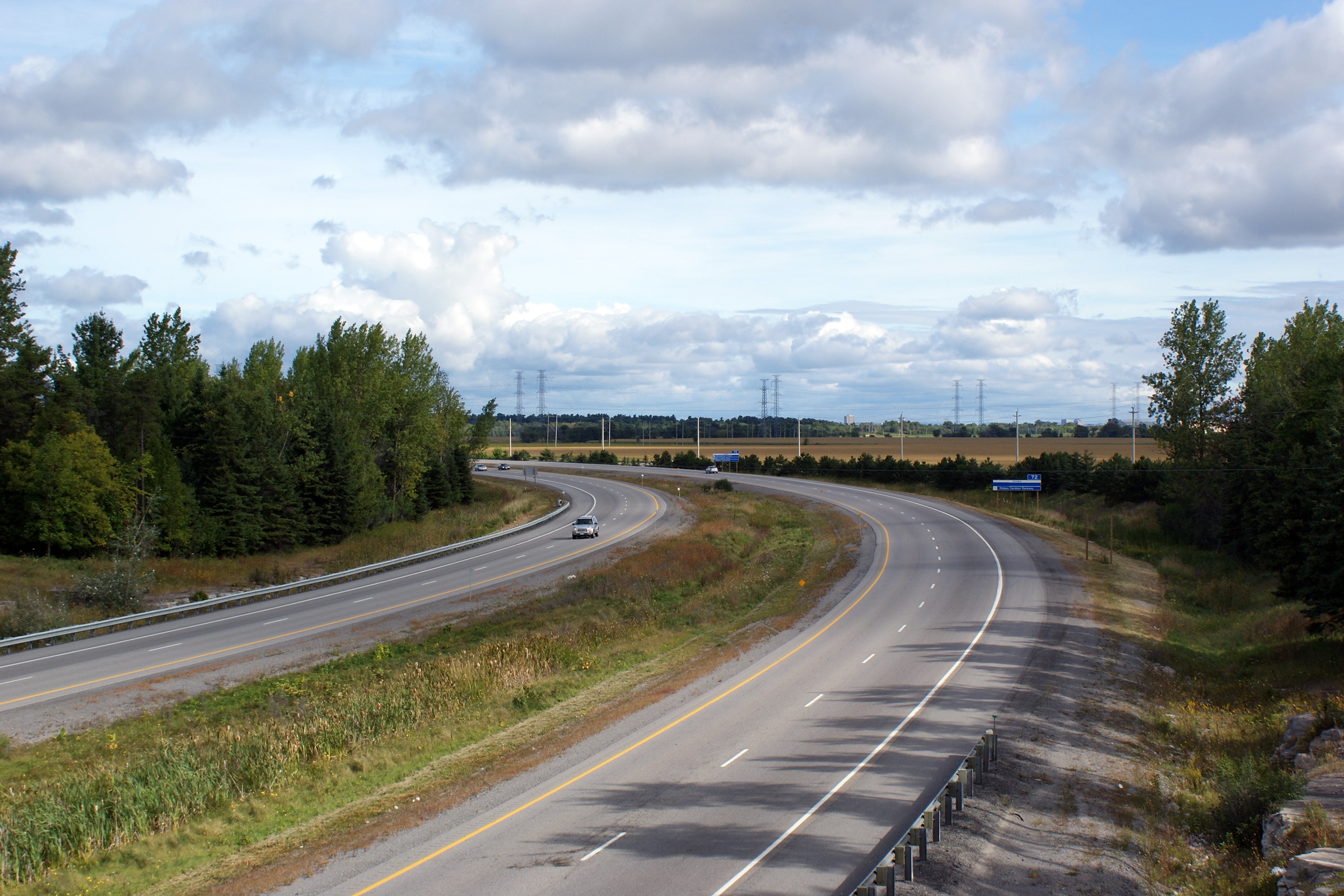
| City of Ottawa |
Southerly view from the Bruin Road overpass. Photo taken: September 12th, 2009. |
 |
||
| City of Ottawa |
Views looking northerly from the Bruin Road overpass.
Take notice of the high Gatineau Hills in the distance across the River.
Its rather striking how rugged the Quebec side of the Ottawa River is
compared to the flat subdued Ontario side. Photo taken: September 12th, 2009. |
 |
||
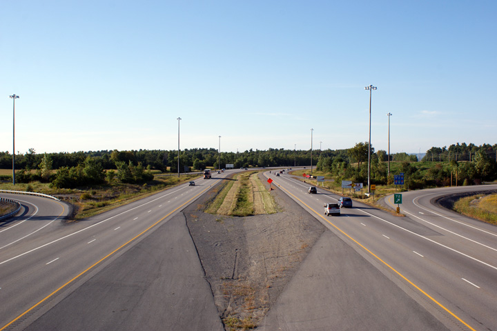
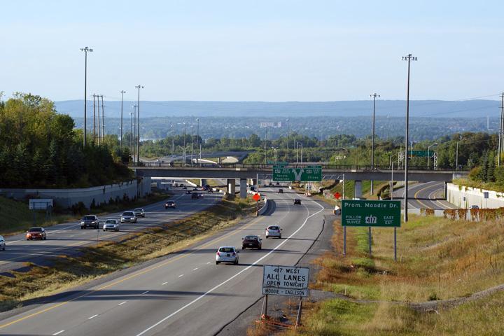
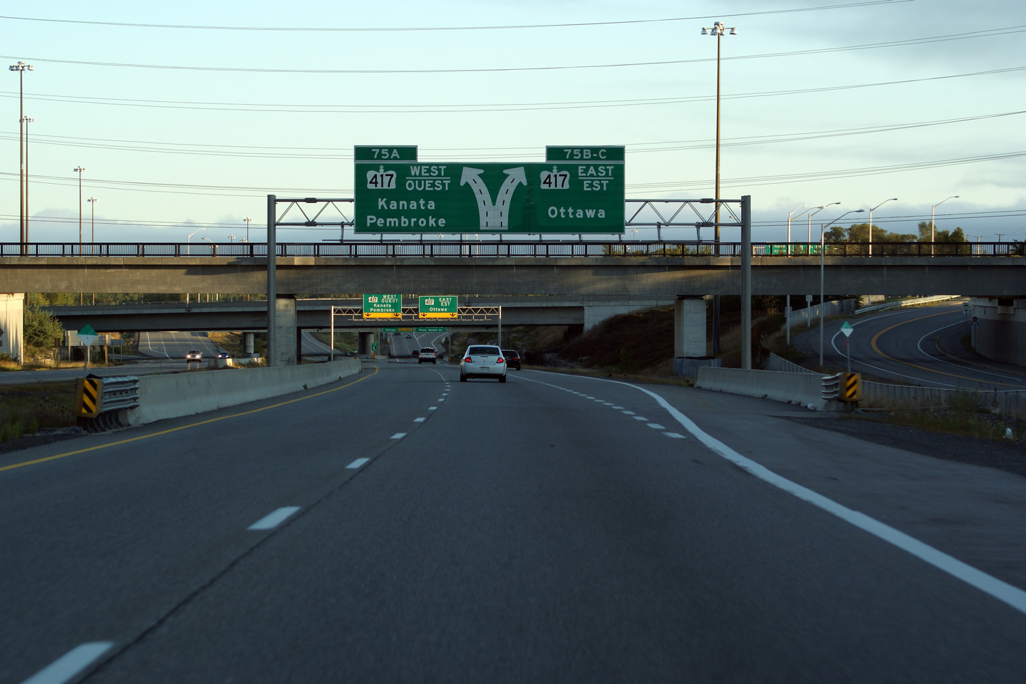
| City of Ottawa |
Advanced signage heading northbound on the 416 approaching the 417
interchange. The signage located at this interchange was very atypical, and
has been replaced with a diagram sign. Upper photo taken: October 22nd, 2004. Lower photo taken: September 17th, 2011 |
|
||
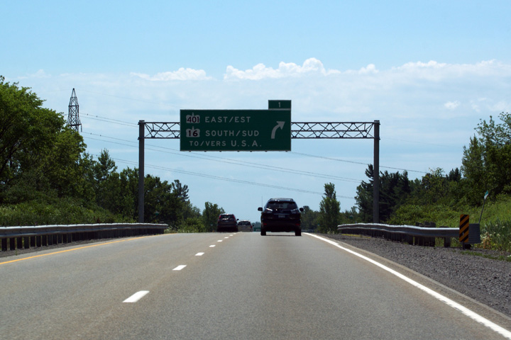
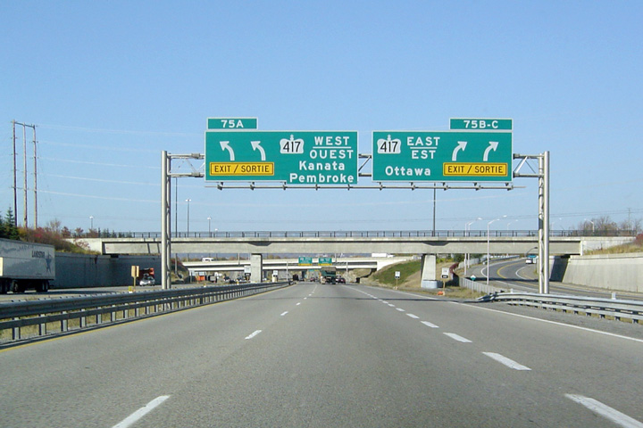
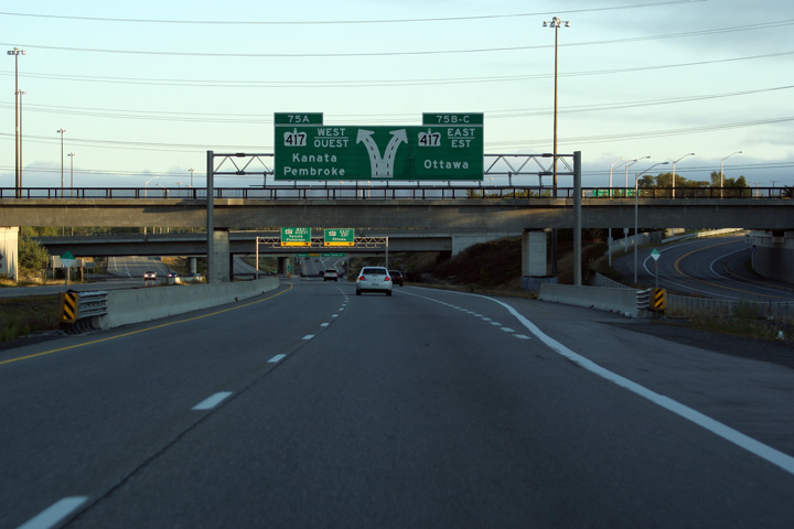
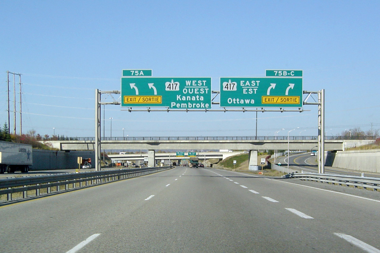
| City of Ottawa |
Signage for the split at the
Highway 417 interchange. Highway 416
meets the
417 at a directional-T interchange. Keeping left at this
split leads traffic westbound towards Arnprior. Keeping right leads traffic
eastbound towards Downtown Ottawa. Photo taken: September 17th, 2011. |
 (720x480) (720x480)(1440x960) (2400x1600) |
||
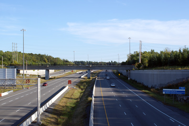
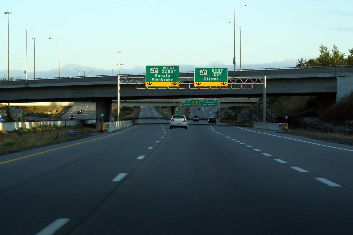
| City of Ottawa |
This view looks southerly from the Baseline Road overpass. Highway 416
quickly narrows to a four-lane highway south of the large Highway 417
interchange. Photo taken: September 12th, 2009. |
 |
||
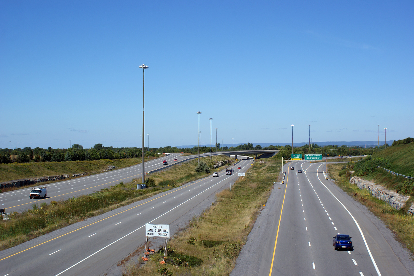
| City of Ottawa |
Southerly view from the Richmond Road overpass towards the Highway 417
interchange. The Highway 417 interchange is much larger in scale than
Highway 416 itself. Photo taken: September 12th, 2009. |
 |
||
| Highway 416 ends at the Highway 417 interchange. Click here for Highway 417-West images and here for Highway 417-East images. | ||||
<- Highway 410 Images Back to Highway 416 Highway 417 Images ->
Copyright (c) 2004-2015, AsphaltPlanet.ca AsphaltPlanet@asphaltplanet.ca

