AsphaltPlanet.ca > OntHighways > Highway 54 > Images
King's Highway 54 - Images
Photos shown in this table are arranged from West to East:
| Proper Municipality Name | Photo Description | Photo | |
|
Photos taken from driver's perspective appear offset from centre-line Photos: |
East- Bound |
West- Bound |
|
| Highway 54 ends at a signalized intersection with Highway 2 and 53 in Cainsville, just to the east of the City of Brantford. Click here for Highway 2 images, and here for Highway 53 images. | |||
| Brant County |
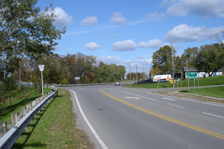
View looking easterly along what is now Brant Road 18. Highway 54
turns left to head east through Six Nations towards Caledonia and Cayuga at
the pictured intersection. Photo taken: October 15th, 2006. |
 |
|
| Brant County |
Reverse view of the Brant Road 18 intersection -- looking west. Photo taken: October 15th, 2006. |
|
|
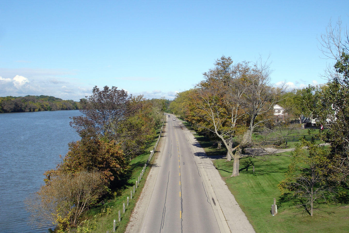
| Haldimand County |
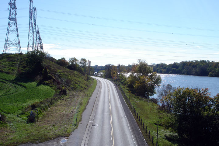
Looking west along Highway 54 beside the Grand River from the Caledonia
By-pass overhead. There is no direct connection between
Highway 6 and
Highway 54. Photo taken: October 15th, 2006. |
|
|
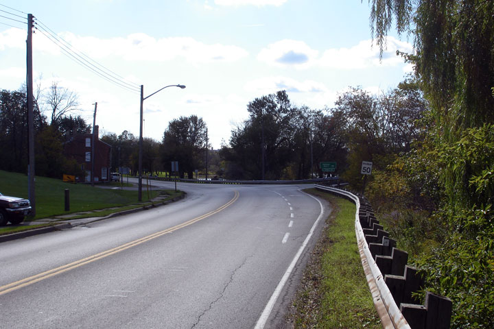
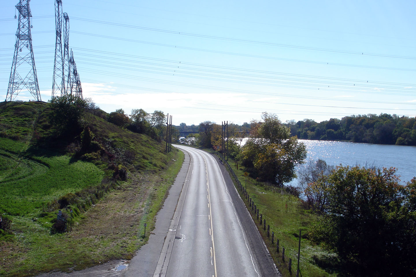
| Haldimand County |
Easterly view along Highway 54 as the highway enters Caledonia from the
Highway 6 overpass. Photo taken: October 15th, 2006. |
|
|
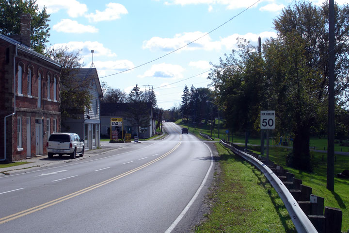
| Haldimand County |
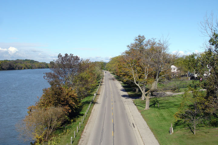
View looking easterly as Highway 54 passes through the small riverfront community of York. Photo taken: October 15th, 2006. |
 |
|
| Haldimand County |
Reverse view of Highway 54 as the highway passes through the small community
of York. York Road crosses the Grand River adjacent to this small
village. The York Road bridge is the only Grand River crossing between
Cayuga and Caledonia. Photo taken: October 15th, 2006. |
|
|
| Haldimand County |
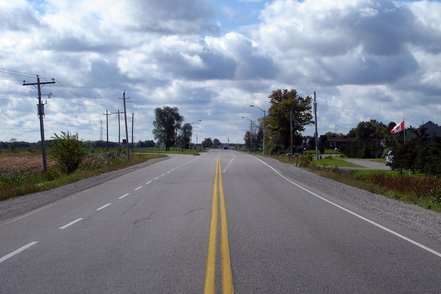
View looking easterly through York. Photo taken: July 7th, 2005. |
 |
|
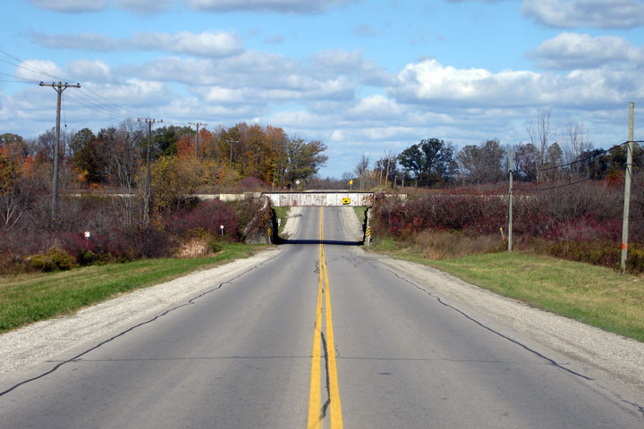
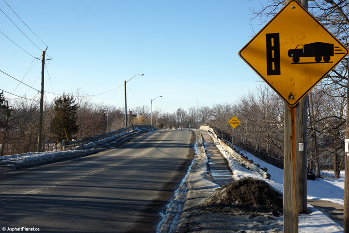
| Haldimand County |
Highway 54 looking westerly through a former railway underpass immediately
to the west of Cayuga. At one point there were two principal east-west
railway lines running through Cayuga. There are now zero. Photo taken: July 7th, 2005. |
 |
|
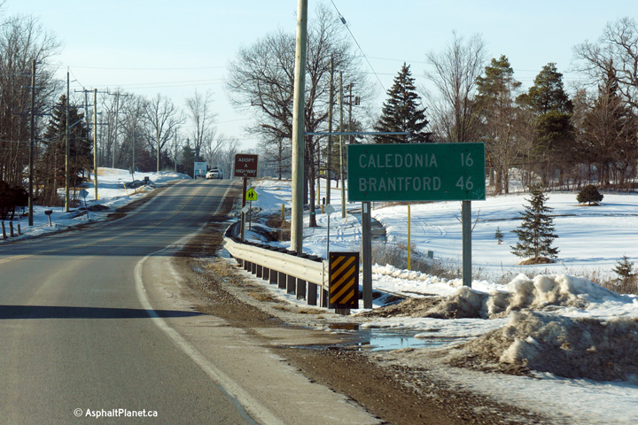
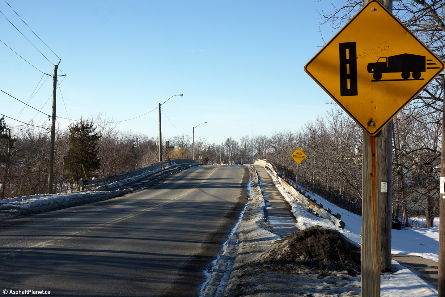
| Haldimand County |
Distance signage westbound form Cayuga for Caledonia and Brantford. Photo taken: March 7th, 2014. |
 (720x480) (720x480)(1440x960) |
|
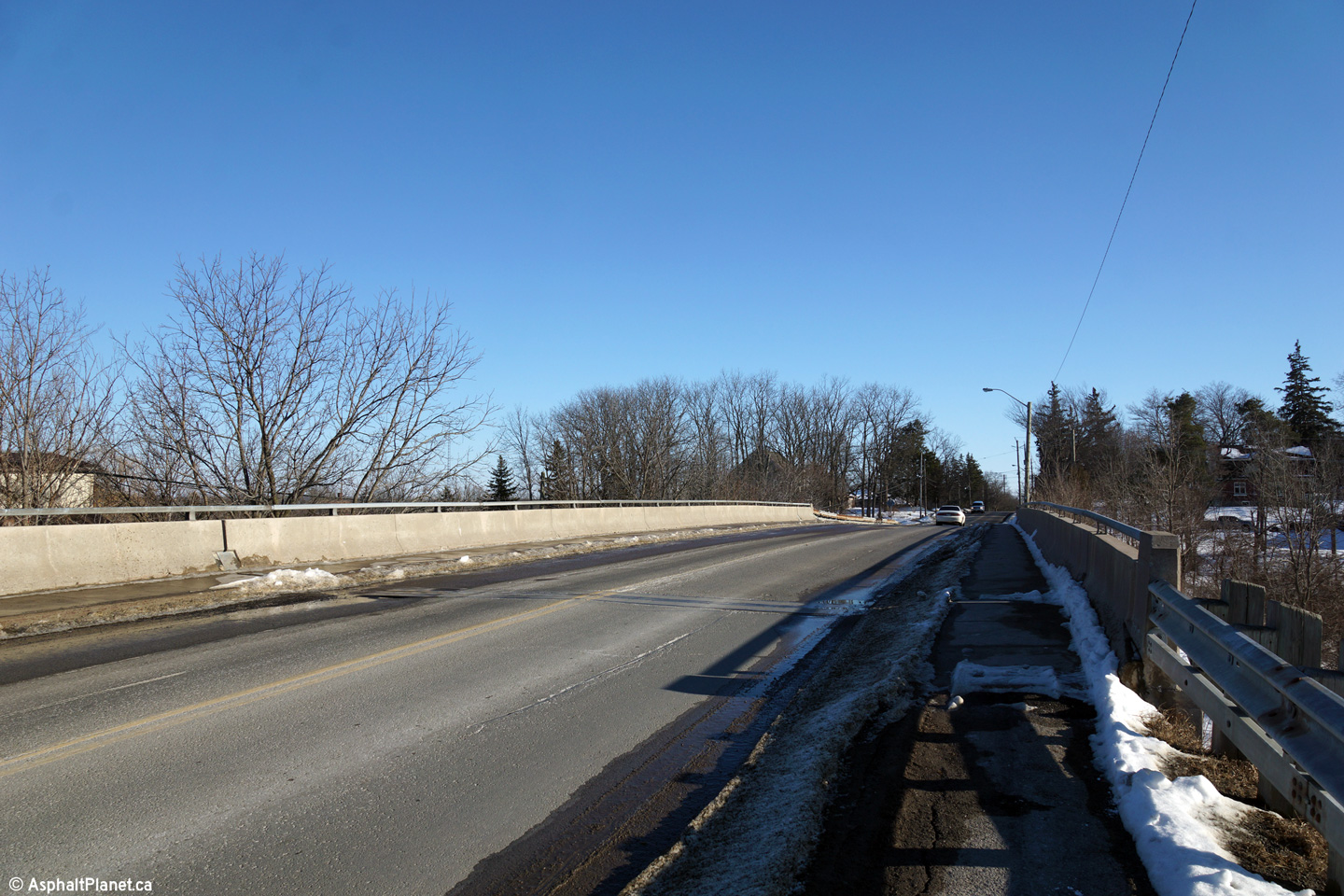
| Haldimand County |
Easterly deck view of the former CN Rail grade separation just outside of
the urban limits of Cayuga. Photo taken: March 7th, 2014. |
 (720x480) (1440x960) (2400x1600) |
|
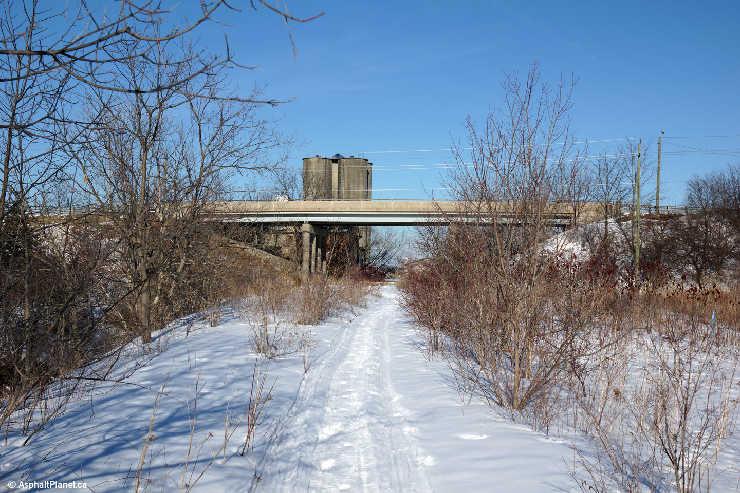
| Haldimand County |
Two views looking northerly along the former CN Rail alignment just north of
Cayuga. This railway alignment was abandoned during the mid 1990s. It
formerly carried rail through rail traffic from St. Thomas easterly into
Buffalo. The grade separation is dated 1986, but it almost certainly
is considerably older. 1986 is likely the date the structure was last
rehabilitated. Photos taken: March 7th, 2014. |
 (720x480) (1440x960) (2400x1600)  (720x480) (1440x960) (2400x1600) |
|
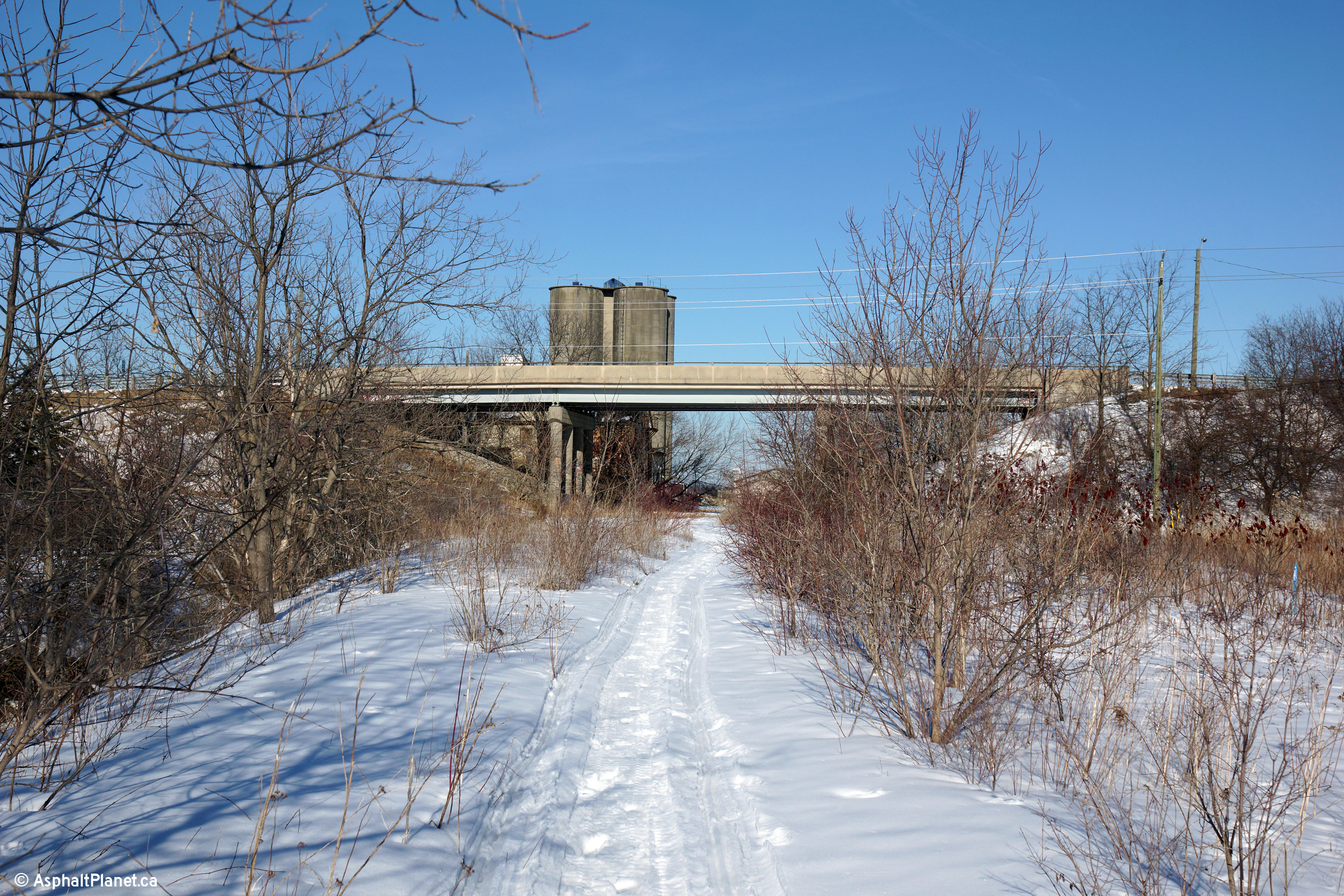
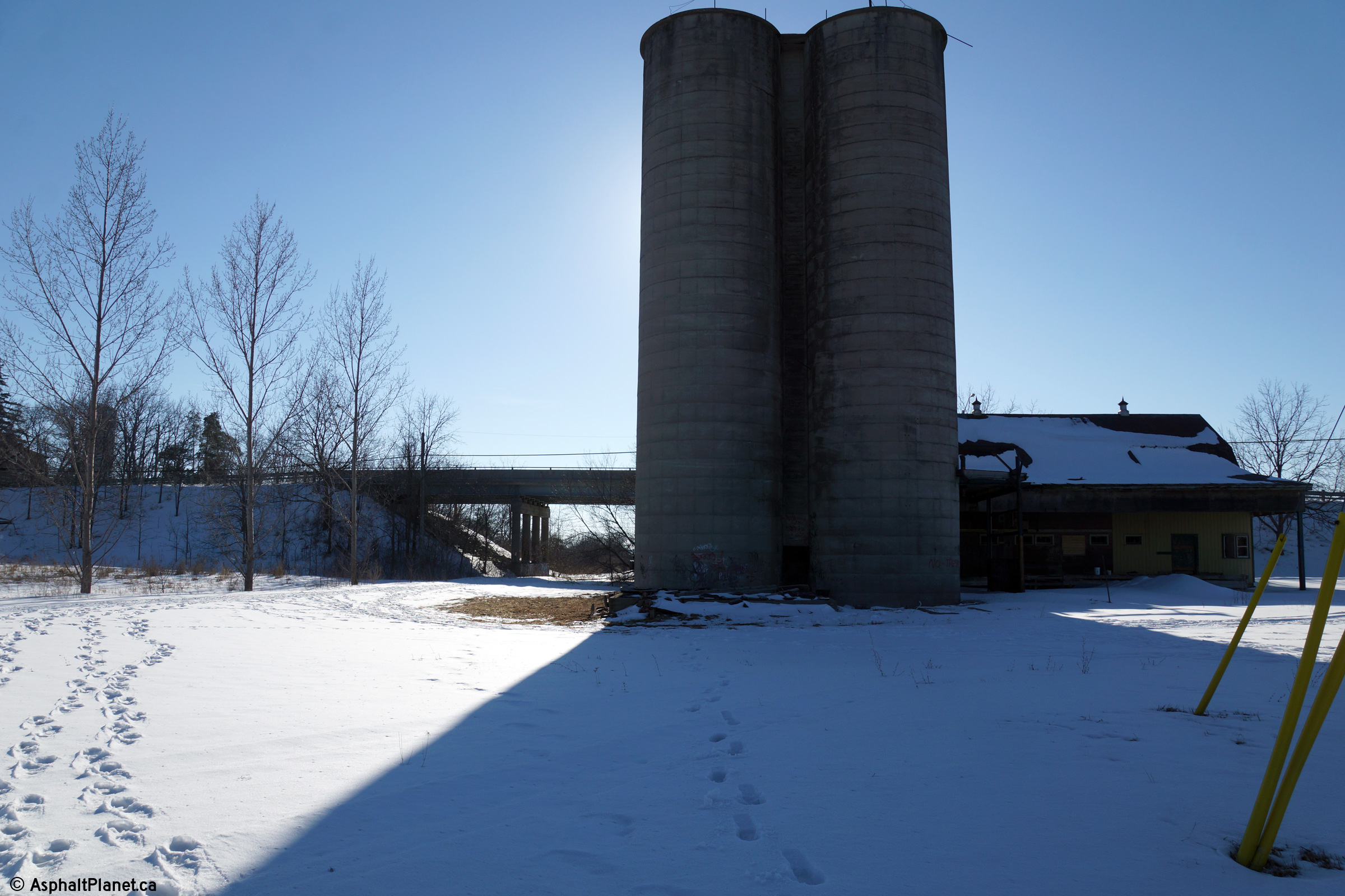
| Haldimand County |
The Highway 54 grade separation stands behind this former grain silo.
This silo appears to be abandoned (though sometimes active silos can look
fairly derelict). Before the railway was abandoned, a siding served
this silo carrying locally grown crops to food manufacturing facilities both
near and far by rail. Photo taken: March 7th, 2014. |
 (720x480) (1440x960) (2400x1600) |
|
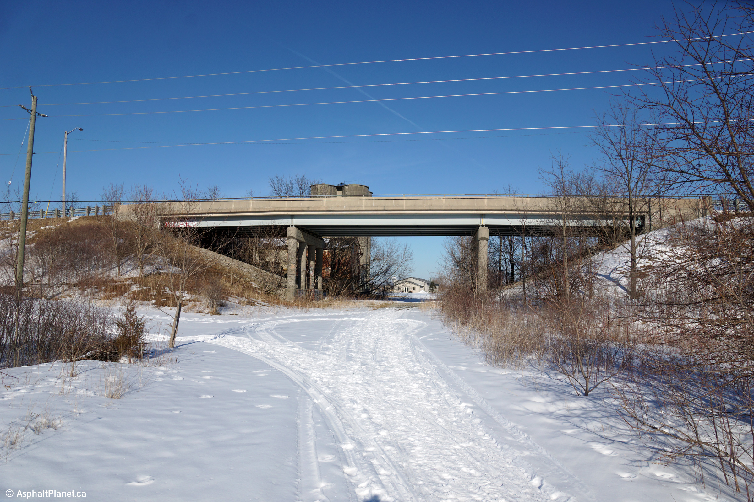
| Haldimand County |
Westerly view leaving the Cayuga urban area towards the former CN Rail
overpass along Highway 54. Photo taken: March 7th, 2014. |
 (720x480) (1440x960) (2400x1600) |
|
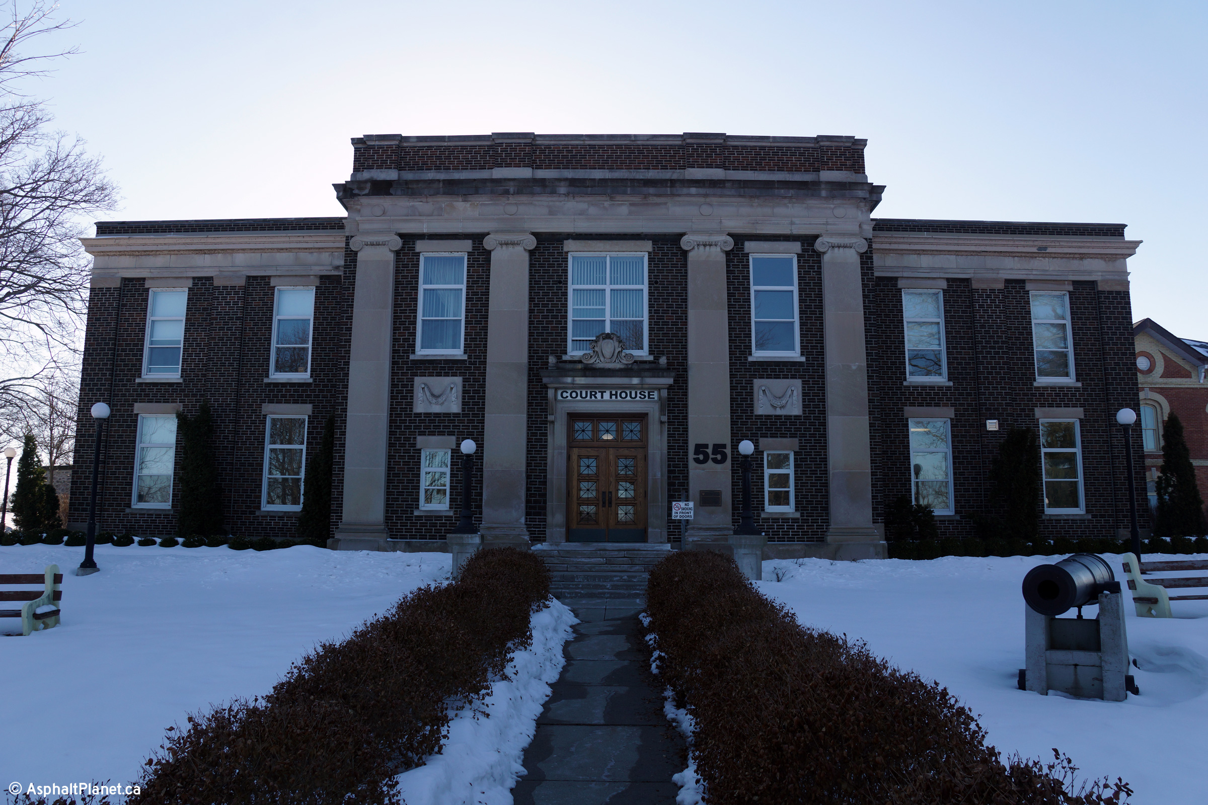
| Haldimand County |
The stately Haldimand County Courthouse stands proudly along Highway 54
adjacent to the abandoned CN Railway alignment. Photo taken: March 7th, 2014. |
 (720x480) (1440x960) (2400x1600) |
|
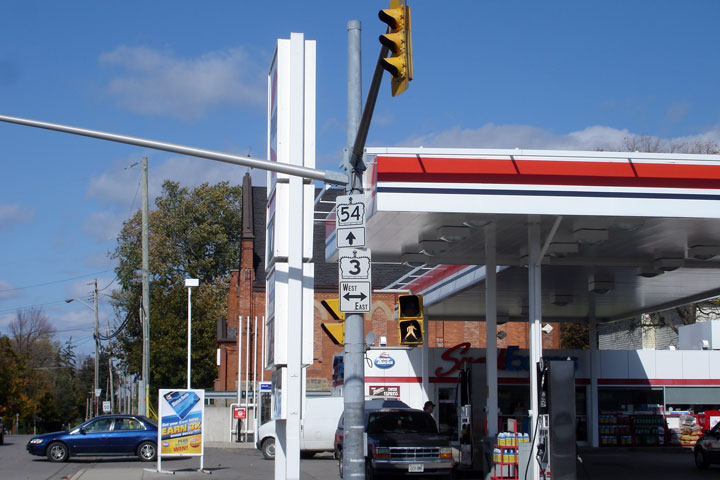
| Haldimand County |
Guide signage directing northbound Munsee Street traffic through the Highway
3/54 intersection. The only highway 54 shields that remain are found
along Highway 3 in Cayuga. Photo taken: October 15th, 2006. |
 |
|
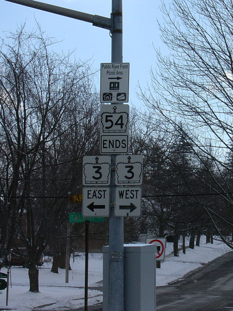
| Haldimand County |
Signage marking the eastern end of Highway 54 at Highway 3. I am
probably cursing this assembly by saying this, but as of May 2009, (10 years
after Highway 54 was downloaded) this sign still stands. Photo taken: February 23rd, 2005. |
 |
|
| Highway 53 ends at a signalized intersection with Highway 3 at the four-corners of Cayuga. Click here for Highway 3 images. | |||
<- Highway 53 Images Back to Highway 54 Highway 55 Images ->
Copyright (c) 2004-2014, Scott Steeves (Webmaster) scott@asphaltplanet.ca