|
Proper Municipality Name |
Photo Description |
Photo |
|
Pictures taken
from driver's perspective appear offset from centre-line pictures: |
East-
Bound |
West-
Bound |
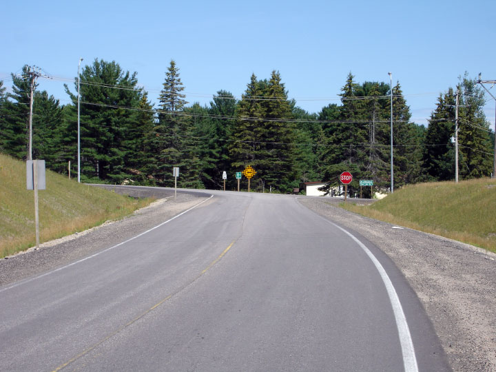
| Township of Perry District of
Parry Sound |
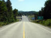
View looking easterly along Highway 518 as it approaches the Highway 11
interchange. Highway 518 meets Highway 11 at a diamond interchange,
before the secondary highway diverts to the right, following the old 2-lane
alignment of Highway 11 into Emsdale.
Photo taken: August 5th, 2006. |
Low-res
High-res |
|
At present Highway 11 extends both
north and south of Highway 11.
Click here for Highway 11 images. |
| Township of Perry District of
Parry Sound |
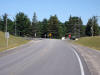
View looking west along Highway 518 towards the Deer Lake Road junction.
Traffic must turn left at this junction to continue westerly along Highway
518. Photo taken: August 5th, 2006. |
 |
| Township of Perry District of
Parry Sound |
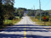
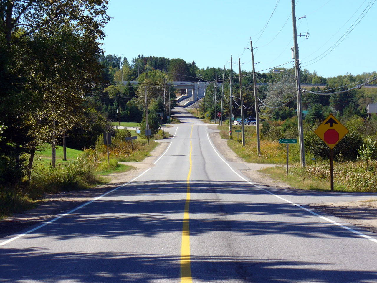
View looking west from just west of the Highway 592 junction. Notice
the high-level Highway 11 overpasses in the distance of this photo. Photo
courtesy: Patrick Gaudreau. Taken: September 22nd, 2007. |
Low-res
High-res |
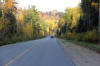
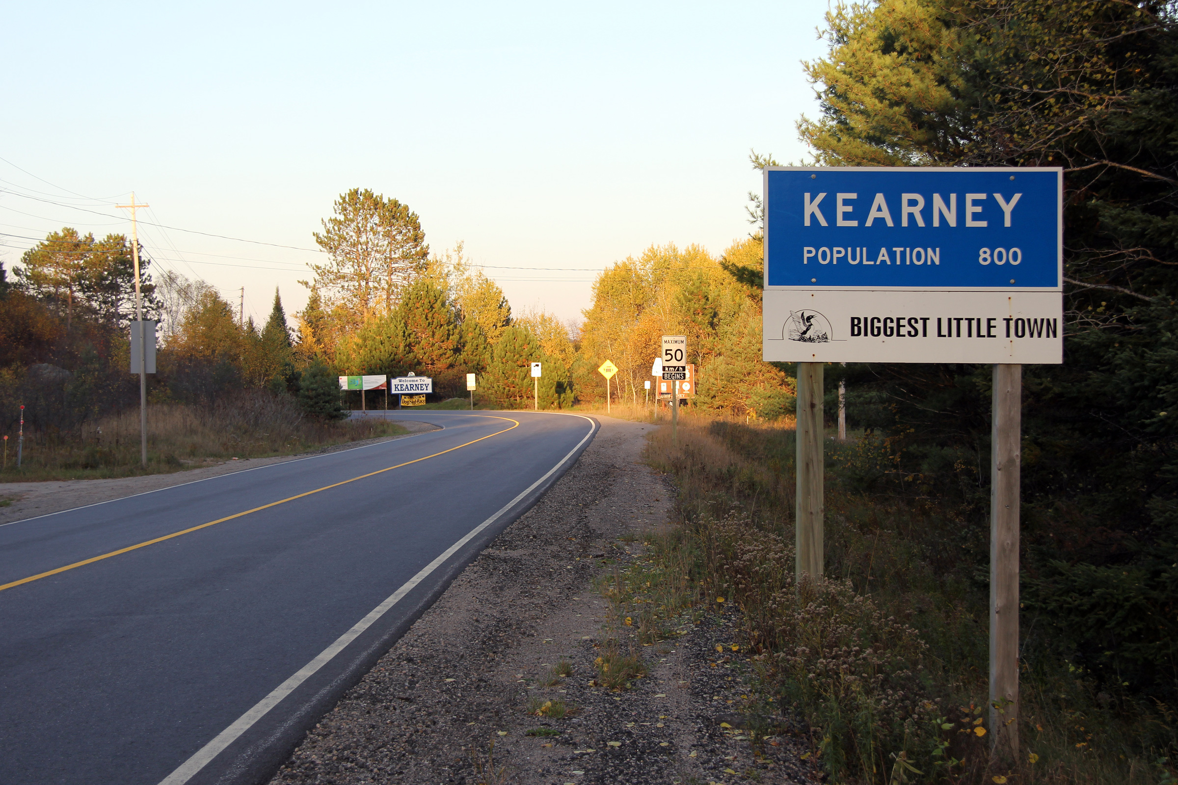
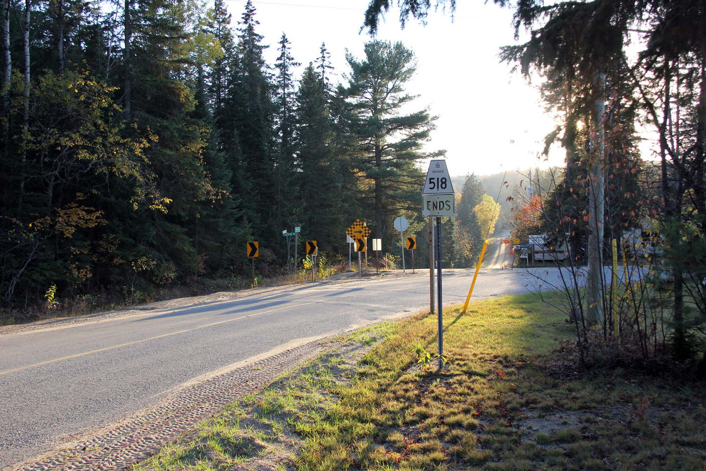
Township of Kearney
District of Parry Sound |
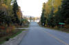
Eastbound view as Highway 518 enters Kearney. This is the current
(post-1998) eastern terminus of Highway 518. There is a Highway 518
ends marker beyond the sign marking the Kearney boundary, however it is
washed out in the sun.
Photo taken: October 15th, 2011. |

(720x480)
(1440x960)
(2400x1600) |
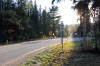
Township of Kearney
District of Parry Sound |
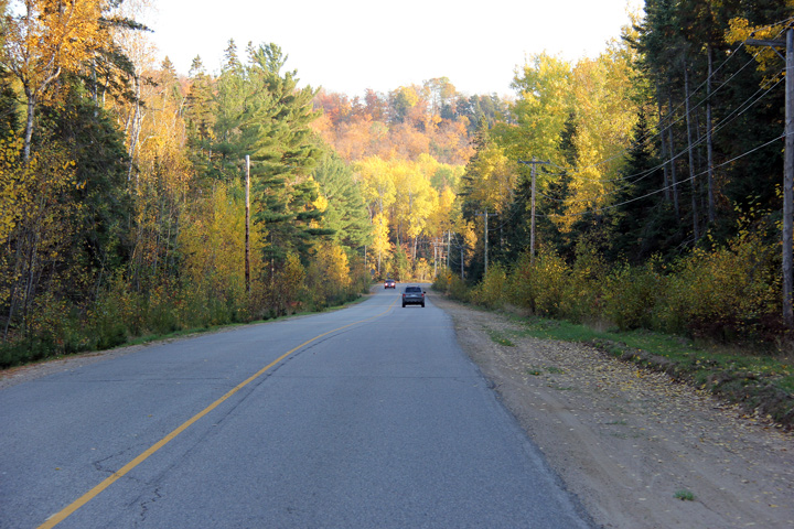
This view looks easterly along Highway 518 as it approaches Beaver Lake.
Photo taken: October 15th, 2011. |
(720x480)
(1440x960)
(2400x1600) |
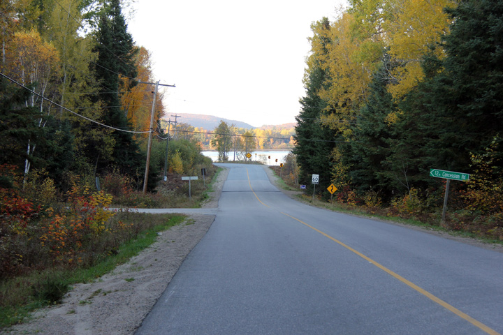
Township of Kearney
District of Parry Sound |
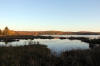
Highway 518 skirts around the north and west banks of Beaver Lake.
Photo taken: October 15th, 2011. |
(720x480)
(1440x960)
(2400x1600) |
Township of Kearney
District of Parry Sound |
View looking westerly along Highway 518 as the highway passes around the
eastern edge of Sand Lake. Short segments of Highway 518 still feature
a white centre-line near Sand Lake.
Photo taken: October 15th, 2011. |
(720x480)
(1440x960)
(2400x1600) |
Township of Kearney
District of Parry Sound |
View looking westerly towards the historic eastern terminus of Highway 518.
The easternmost leg of Highway 518 curves around three quarters of Sand Lake
which makes eastbound traffic face west at its terminus.
Photo taken: October 15th, 2011. |
(720x480)
(1440x960)
(2400x1600) |


