AsphaltPlanet.ca > OntHighways >
Highway 401 > Images
> Page 7
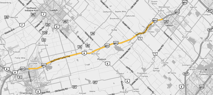
King's Highway 401 - Images
<- Page 6 Page 7 - Cambridge to Milton Page 8->
Photos shown in this table are arranged from West to East:
| Proper Municipality Name | Photo Description | Photo | ||
|
Photos taken from driver's perspective appear offset from centre-line Photos: |
East- bound |
West- bound |
||
| Continued from Woodstock to Cambridge Images | ||||
| Presently, Highway 24 runs south from Cambridge to Simcoe. Click here for Highway 24 images. | ||||
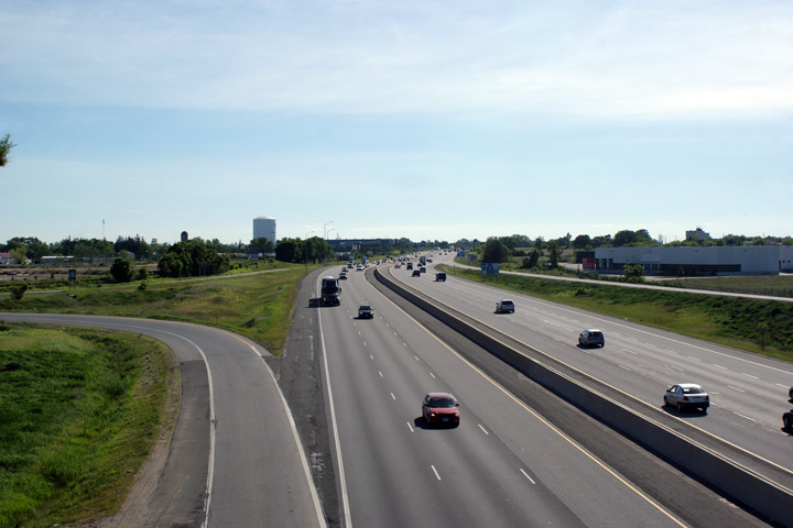
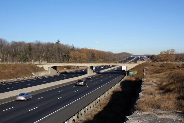
| City of Cambridge Regional Municipality of Waterloo |
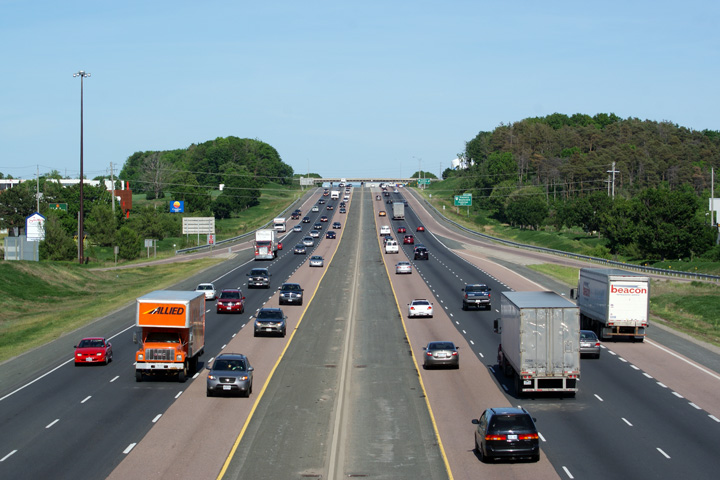
View looking easterly along Highway 401 from the
Highway 24 overpass. Between Highway
24 and Franklin Boulevard, Highway 401 has an auxiliary lane that
connects the two interchanges. This is the closest Highway 401 comes
to an eight lane configuration west of the Mississauga. The Highway 24 interchange is a
standard parclo A4 of considerable footprint. Cameron Bevers
has some great aerials of this interchange on his
TheKingsHighway.ca site. Click here to jump to the view looking west from the Highway 24 overpass. Photo taken: May 29th, 2010. |
|
||
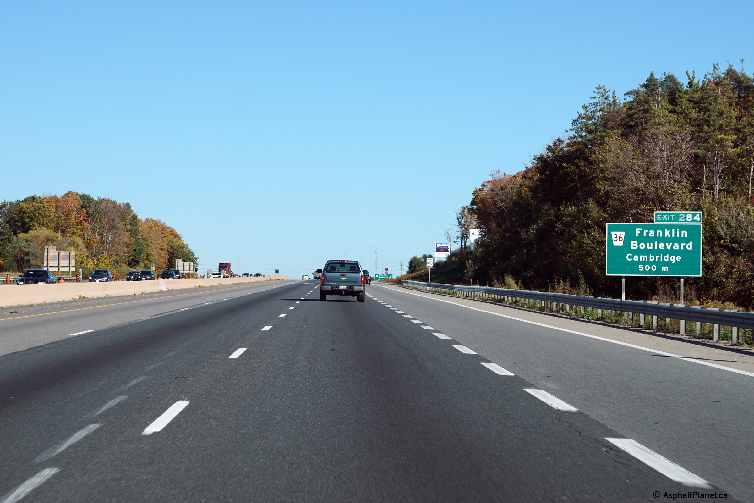
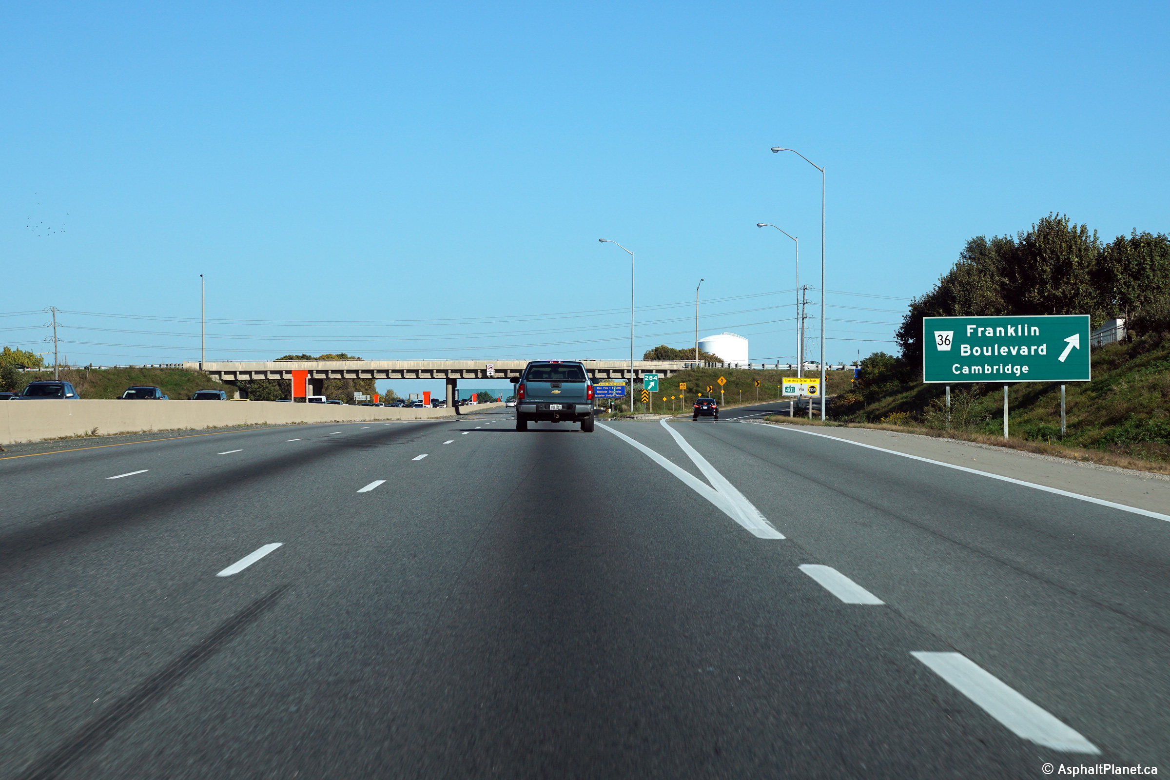
| City of Cambridge Regional Municipality of Waterloo |
Advance signage for the Franklin Boulevard interchange. I included this
photo because the advanced signage for Franklin Boulevard is one of the few
advanced exit signs in Southwestern Ontario that still features an exit tab
with the word 'Exit' on it. Photo taken: October 11th, 2015. |
 (720x480) (720x480)(1440x960) (2400x1600) |
||
| City of Cambridge Regional Municipality of Waterloo |
View looking easterly at the off-ramp to Franklin Boulevard. Photo taken: October 11th, 2015. |
 (720x480) (720x480)(1440x960) (2400x1600) |
||
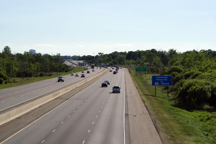
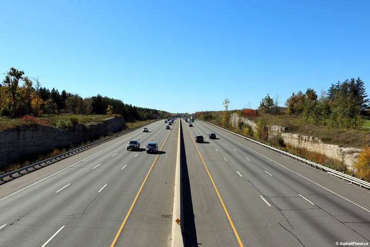
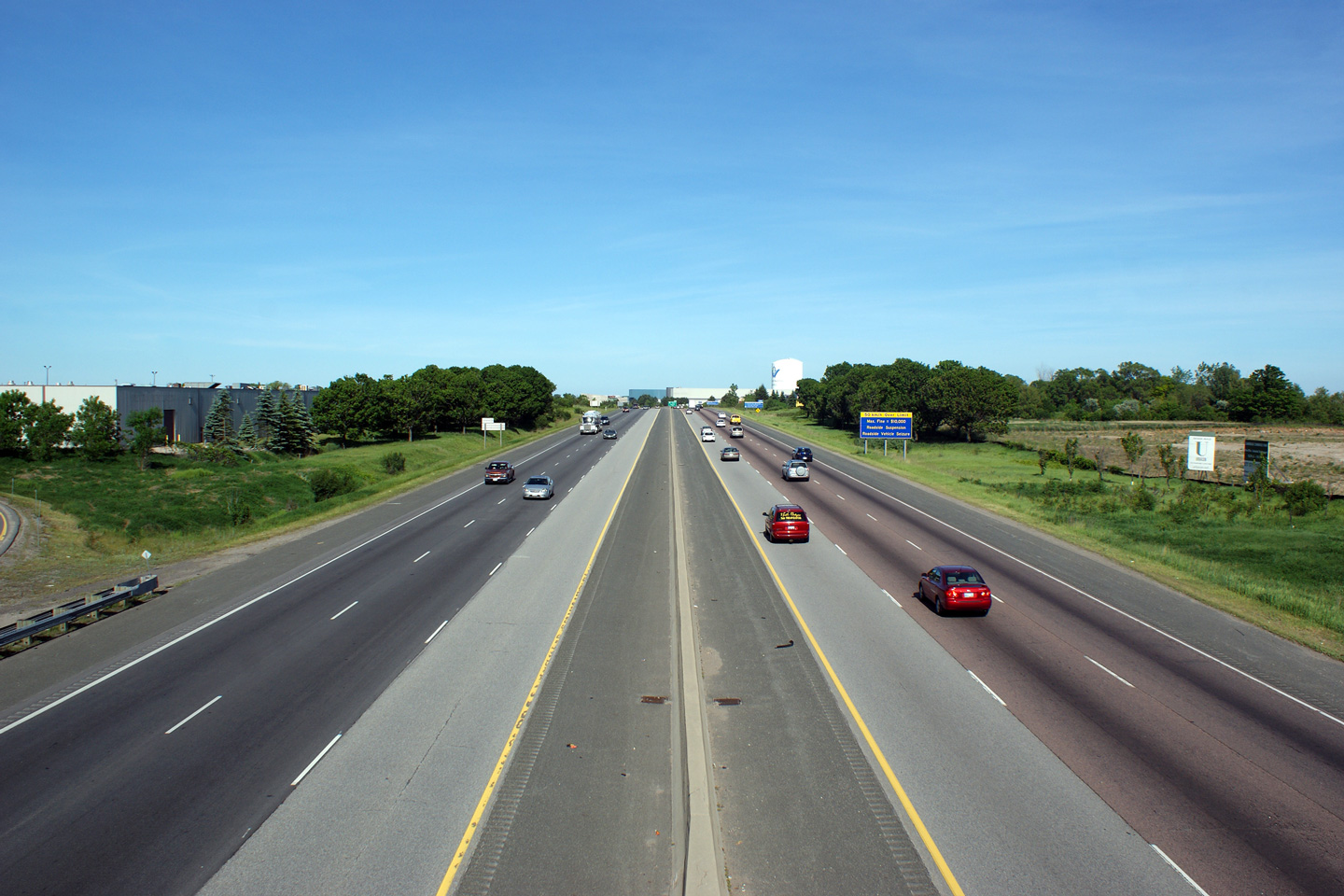
| City of Cambridge Regional Municipality of Waterloo |
Looking westerly along Highway 401 from the Franklin Blvd overpass.
Franklin Blvd meets Highway 401 at a partial interchange that permits
movements between eastbound and southbound directions and northbound and
westbound directions. Photo taken: May 29th, 2010. |
 (720x480) (1440x960) (2400x1600) |
||
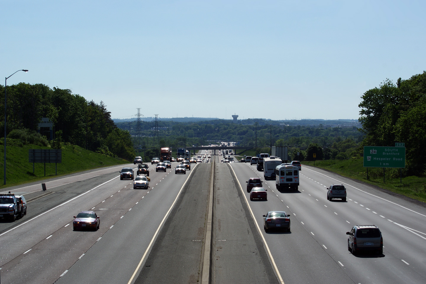
| City of Cambridge Regional Municipality of Waterloo |
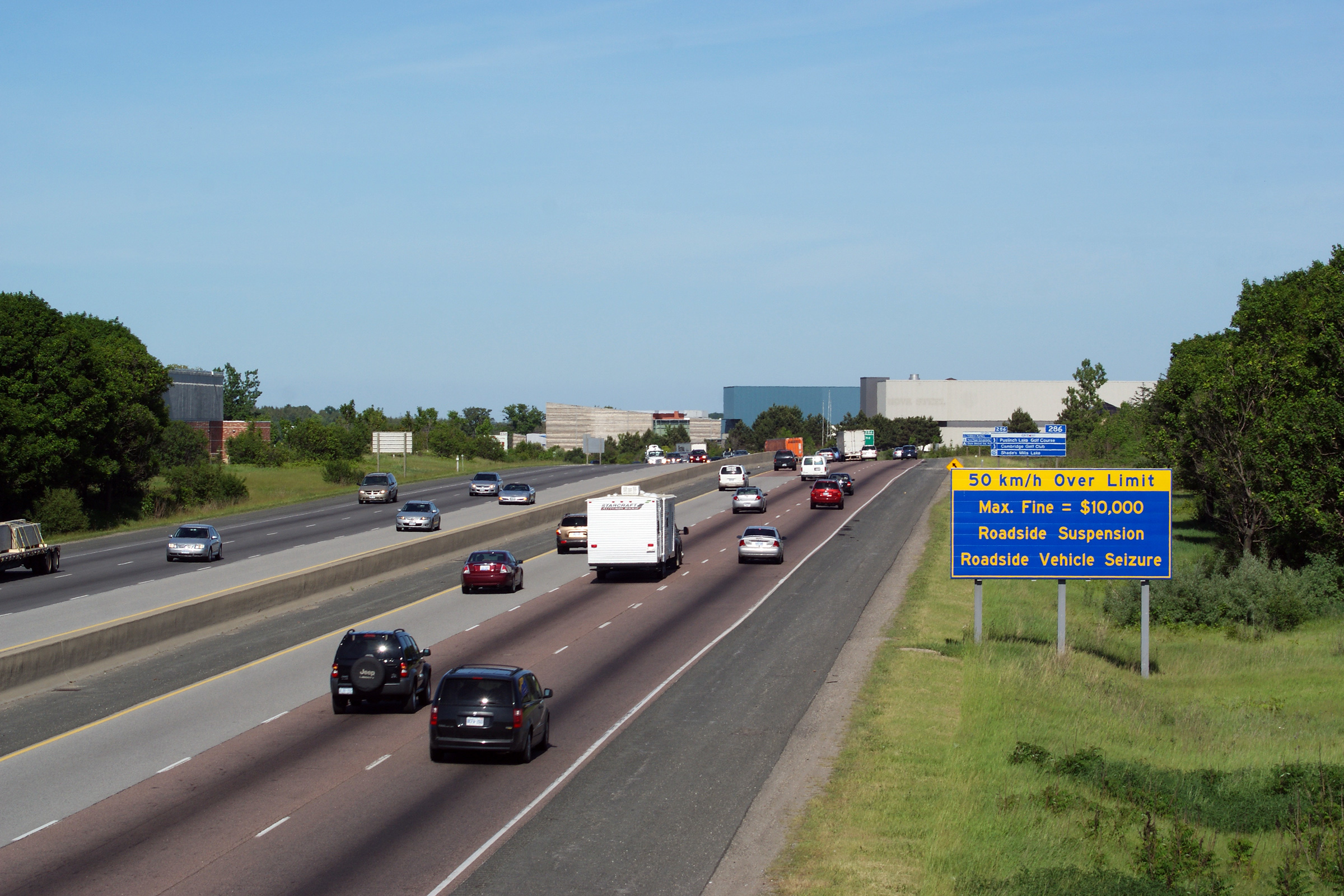
Looking east from Franklin Blvd overpass in Cambridge along Highway 401.
Note Ontario's rather totalitarian approach to dealing with excessive
highway speeds. Photos taken: May 29th, 2010. |
 (720x480) (1440x960) (2400x1600)  (720x480) (1440x960) (2400x1600) |
||
| City of Cambridge Regional Municipality of Waterloo |
Eastbound advanced signage for the Townline Road interchange. Photo taken: October 11th, 2015. |
 (720x480) (720x480)(1440x960) (2400x1600) |
||
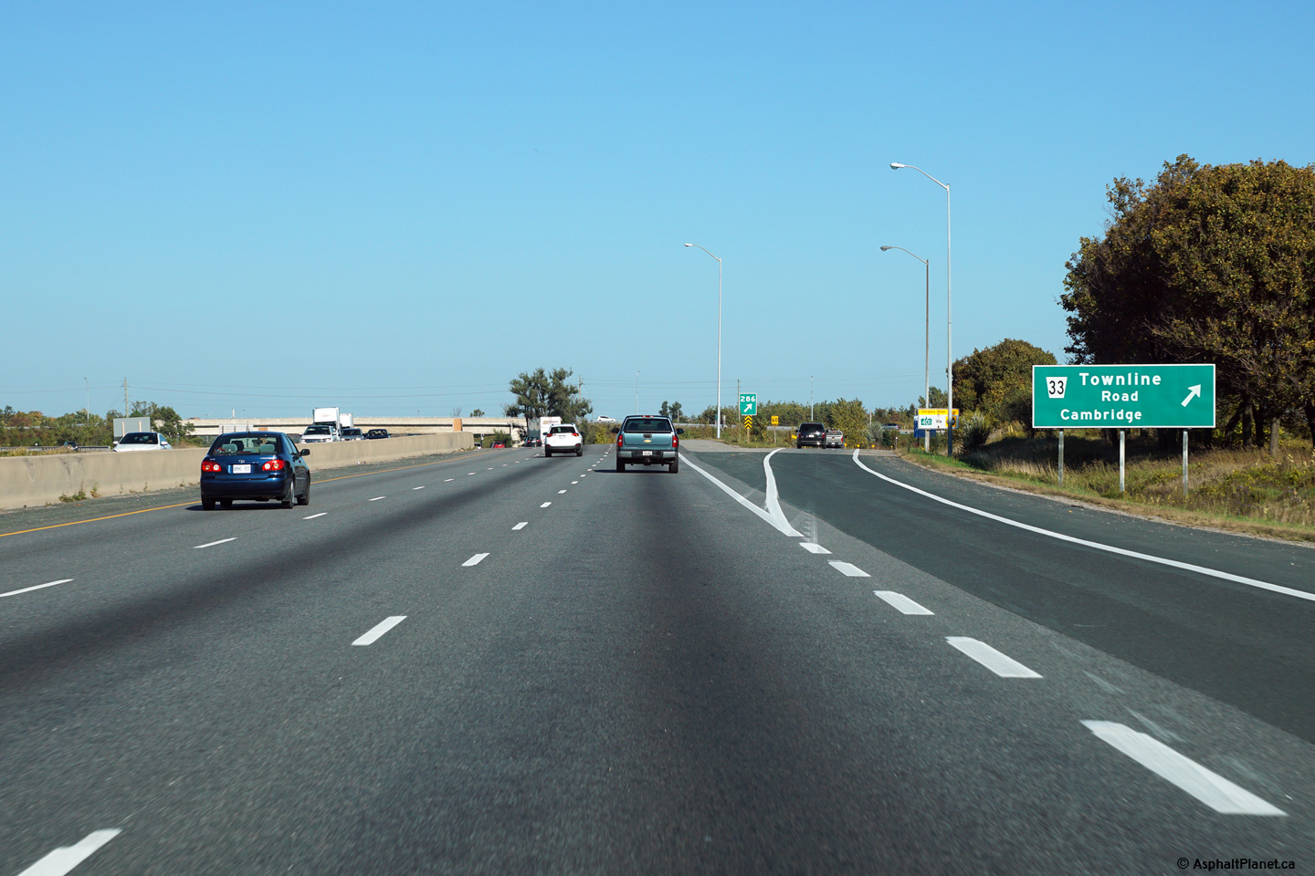
| City of Cambridge Regional Municipality of Waterloo |
Signage at the eastbound off-ramp to Townline Road. Photo taken: October 11th, 2015. |
 (720x480) (720x480)(1440x960) (2400x1600) |
||
| City of Cambridge Regional Municipality of Waterloo |
Looking westerly from the Townline Road overpass in eastern Cambridge.
The Townline Road overpass and interchange were respectively replaced and reconstructed
during 2004 and 2005. Photo taken: May 29th, 2010. |
 (720x480) (1440x960) (2400x1600) |
||
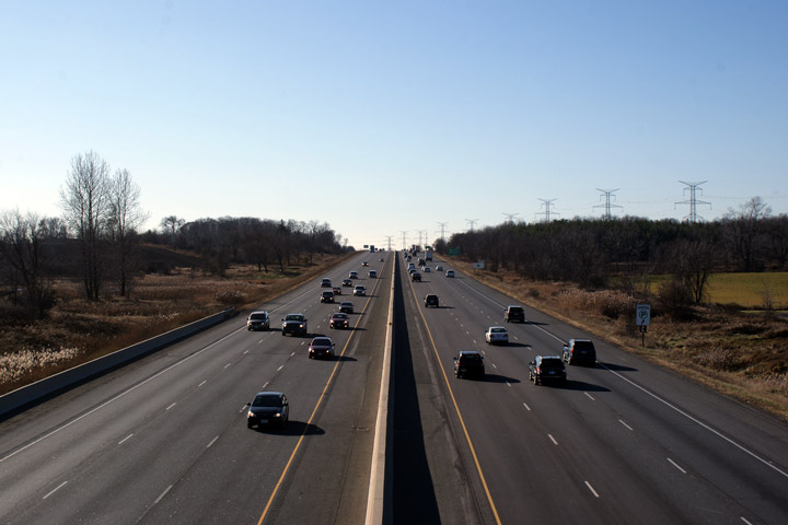
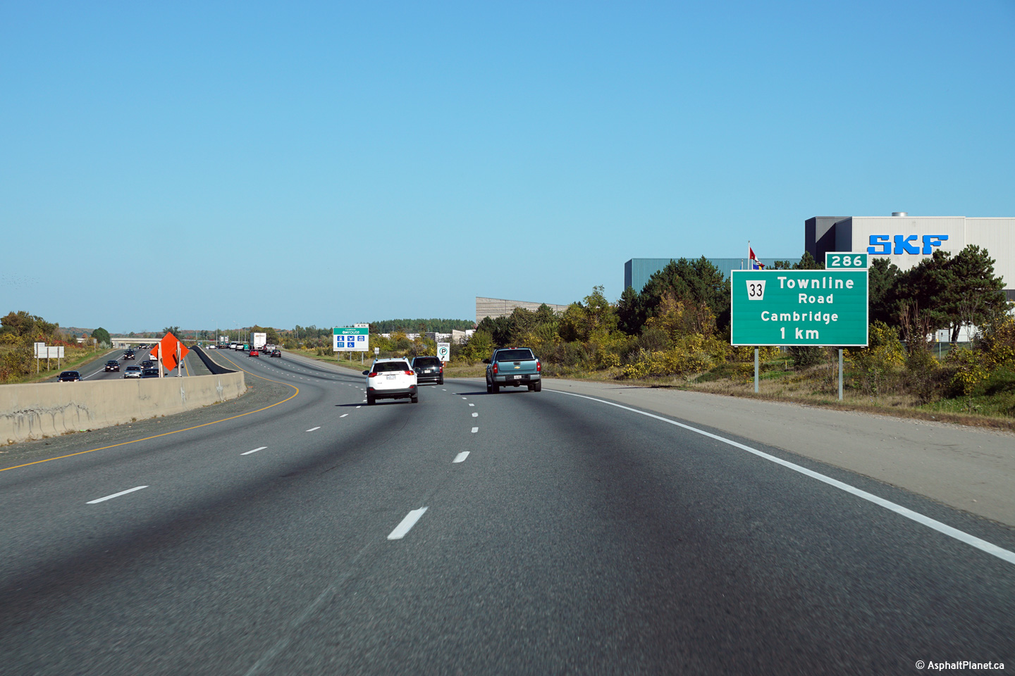
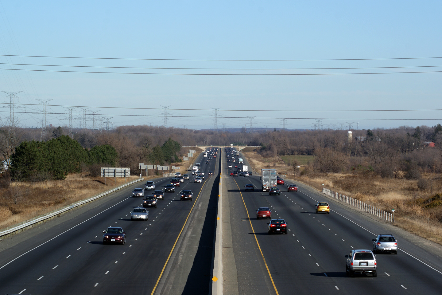
| Township of Puslinch County of Wellington |
Looking east from the Townline Road overpass. Townline Road is located
at kilometre marker 286. Townline Road marks the eastern limit of the
City of Cambridge (hence the road's name). The 401 is a rural from
this point easterly to Milton, some 42 kilometers away. Photo taken: May 29th, 2010. |
 |
||
| Township of Puslinch County of Wellington |
This view looks westerly back into Cambridge from the Wellington Road 32
overpass. Photo taken: May 29th, 2010. |
 (720x480) (1440x960) (2400x1600) |
||
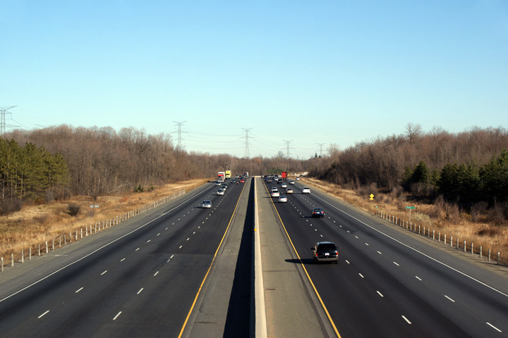
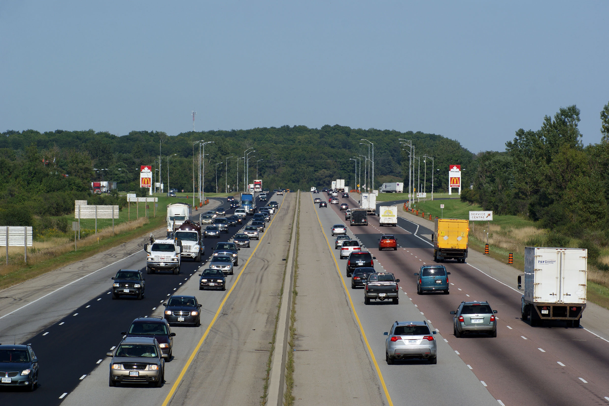
| Township of Puslinch County of Wellington |
Looking easterly from the Wellington Road 32 overpass. In the distance
of this photo, the Cambridge service centres are visible. Both
the eastbound and westbound service centres feature McDonalds Restaurants and Petro-Canada gas
stations. Photo taken: September 2nd, 2009. |
|||
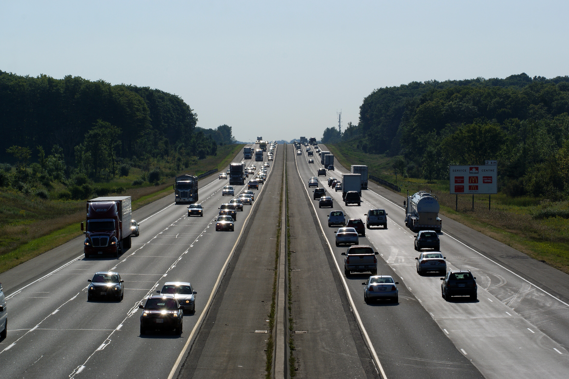
| Township of Puslinch County of Wellington |
View looking west from the Wellington Road 35
overpass. Wellington Road 35 is located at kilometre marker 292. Photo taken: September 2nd, 2009. |
|||
| Township of Puslinch County of Wellington |
Looking easterly from the Wellington Road 35
overpass along Highway 401. Photo taken: September 2nd, 2009. |
|
||
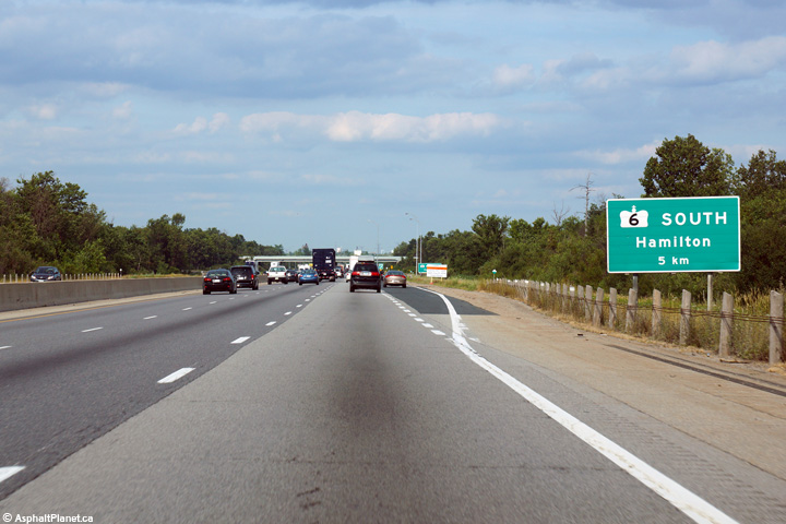
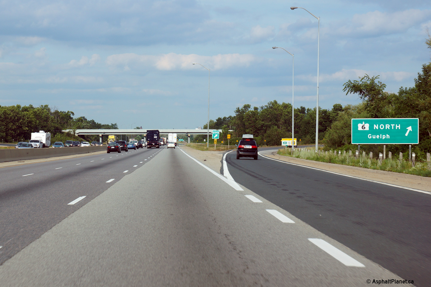
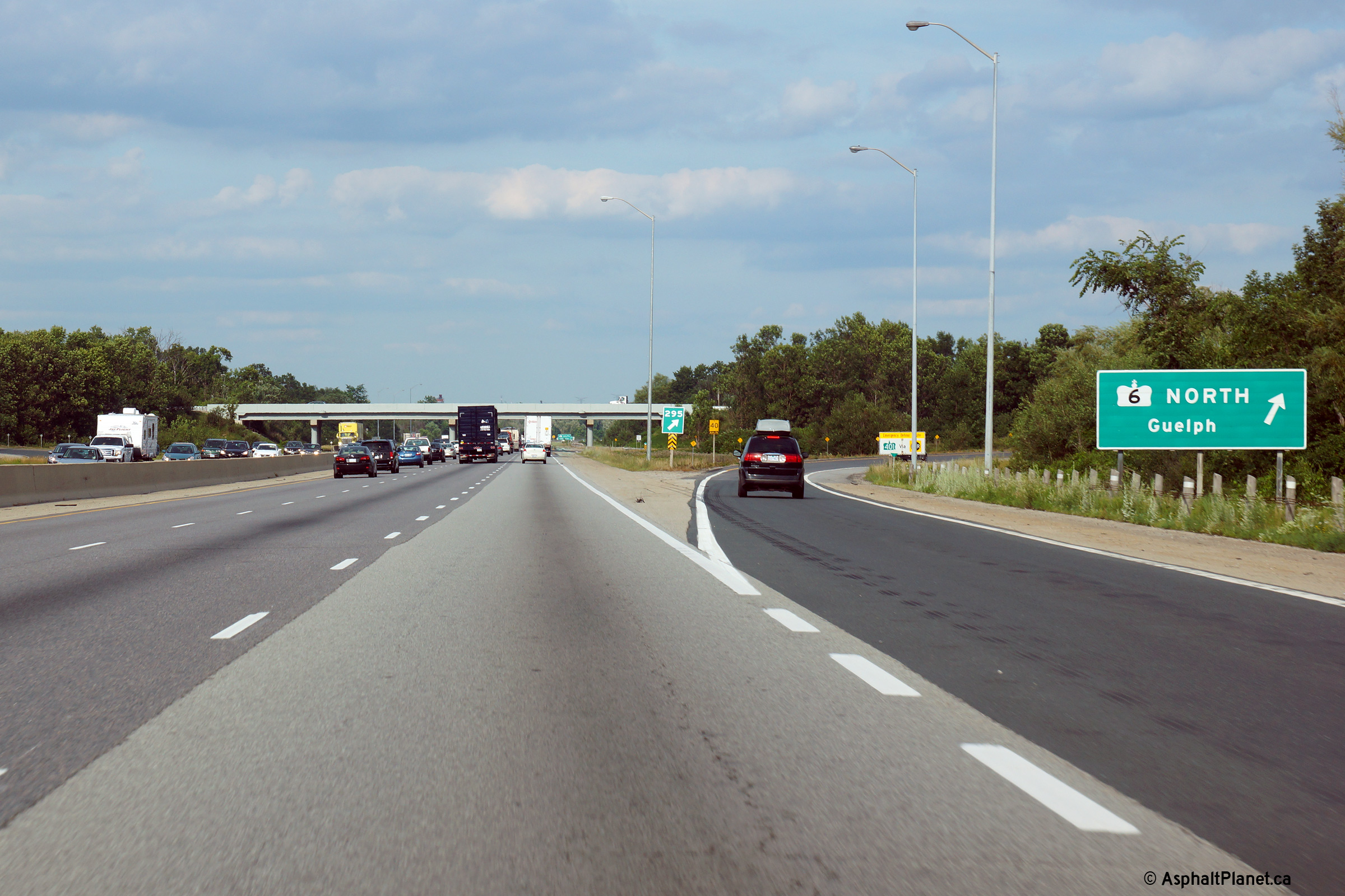
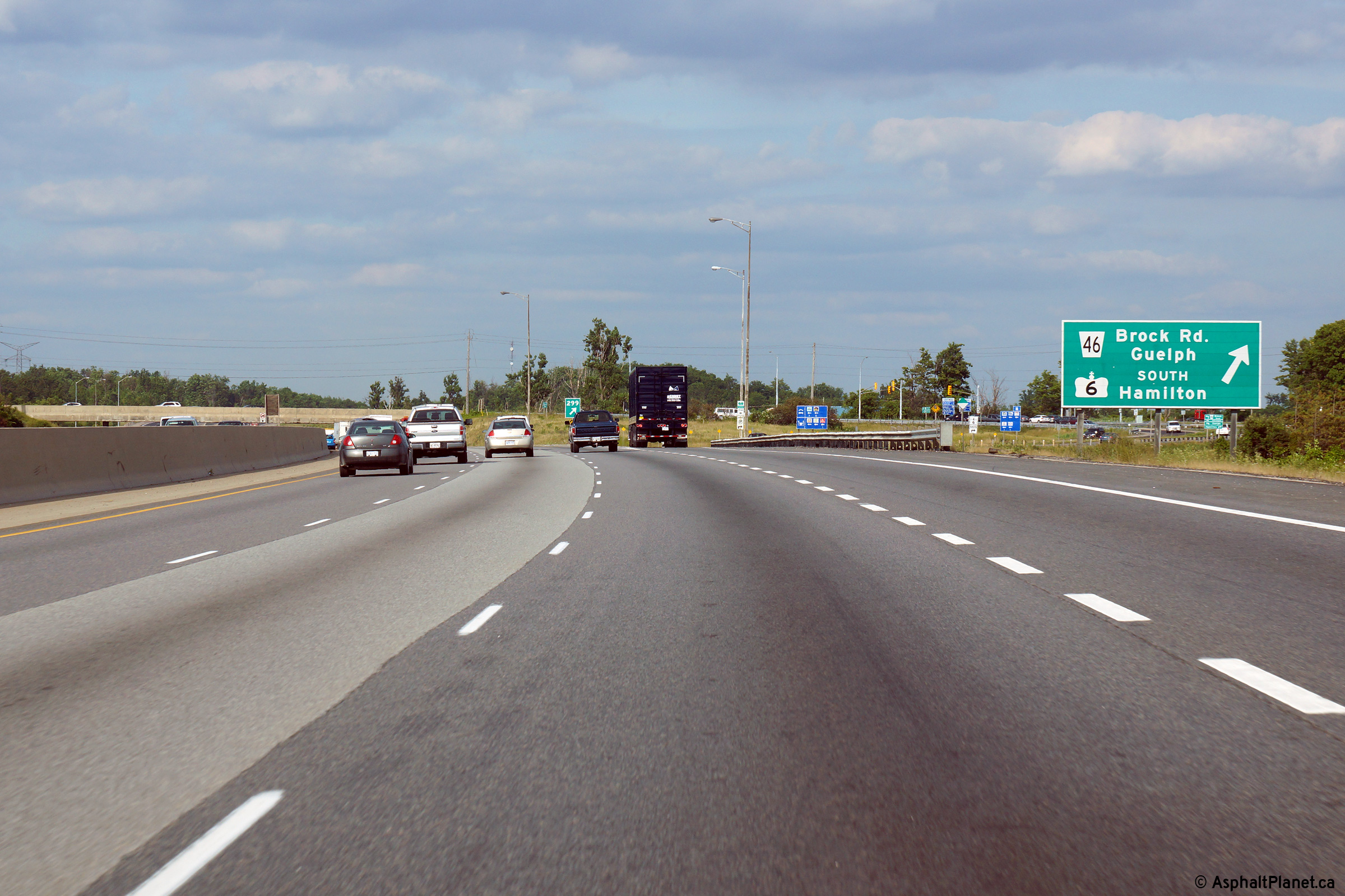
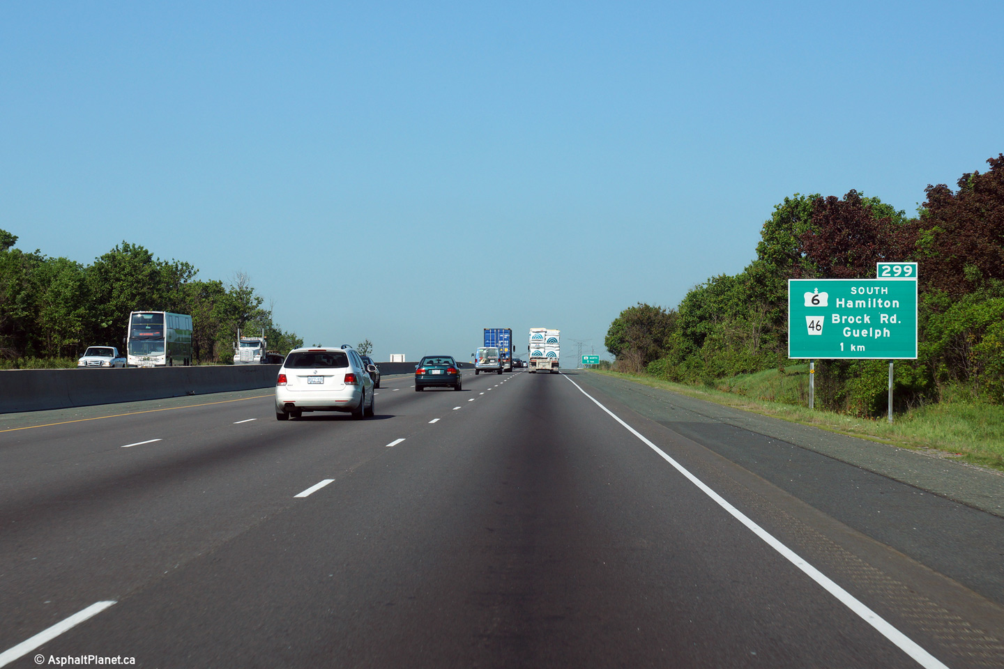
| Township of Puslinch County of Wellington |
Easterly view approaching the exit to Highway 6-North. Photo taken: July 25th, 2014. |
 (720x480) (720x480)(1440x960) (2400x1600) |
||
| Township of Puslinch County of Wellington |
In between the advanced and turnoff signage stands this sign advising
traffic of the upcoming ramp to Highway 6 South. Photo taken: July 25th, 2014. |
 (720x480) (720x480)(1440x960) (2400x1600) |
||
| Township of Puslinch County of Wellington |
This view looks easterly as the ramp from Highway 401-East leads to the
Hanlon Expressway. The Hanlon favours movements between Cambridge and
Guelph; likely because when the Hanlon was first constructed, Highway 24
traffic was still directed through Downtown Hespeler. Downtown
Hespeler was not indicative of high-speed through traffic. Photo taken: July 25th, 2014. |
 (720x480) (720x480)(1440x960) (2400x1600) |
||
| Township of Puslinch County of Wellington |
View looking westerly along Highway 401 towards Cambridge from the western
Highway 6 overpass. Highway 6-North meets Highway 401 at a trumpet
interchange. Photo taken: June 10th, 2006. |
|||
| North of the 401, Highway 6 is an at-grade expressway that runs along the west-side of Guelph. Click here for Highway 6-North images. | ||||
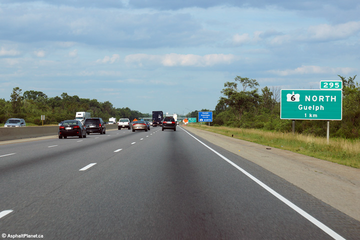
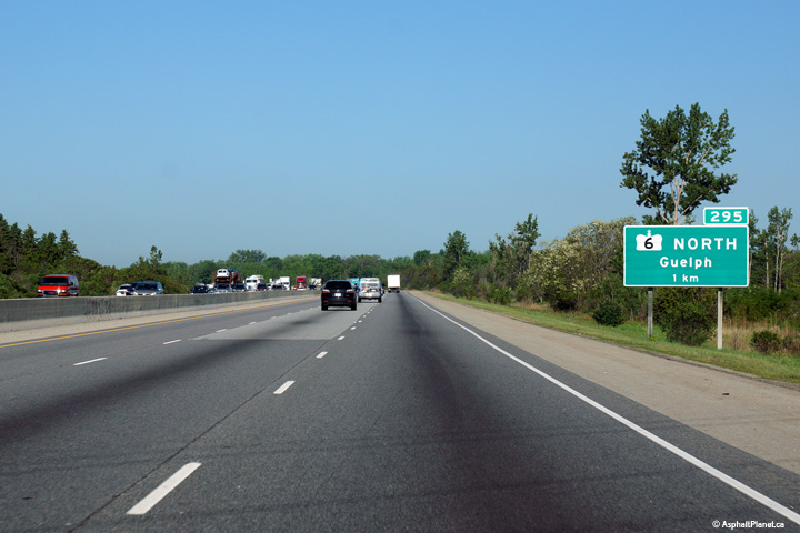
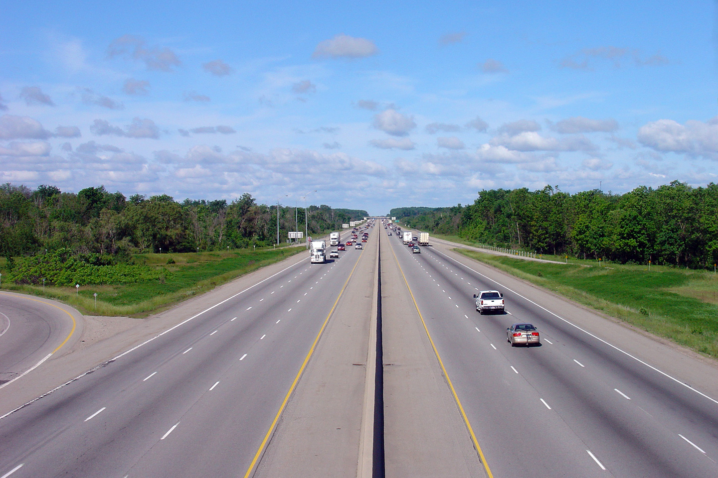
| Township of Puslinch County of Wellington |
Looking east towards Toronto from the western Highway 6 overpass. The
western Highway 6 overpass is located roughly at kilometer marker 295 along
Highway 401. Photo taken: June 10th, 2006. |
 (720x480) (1440x960) |
||
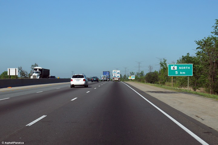
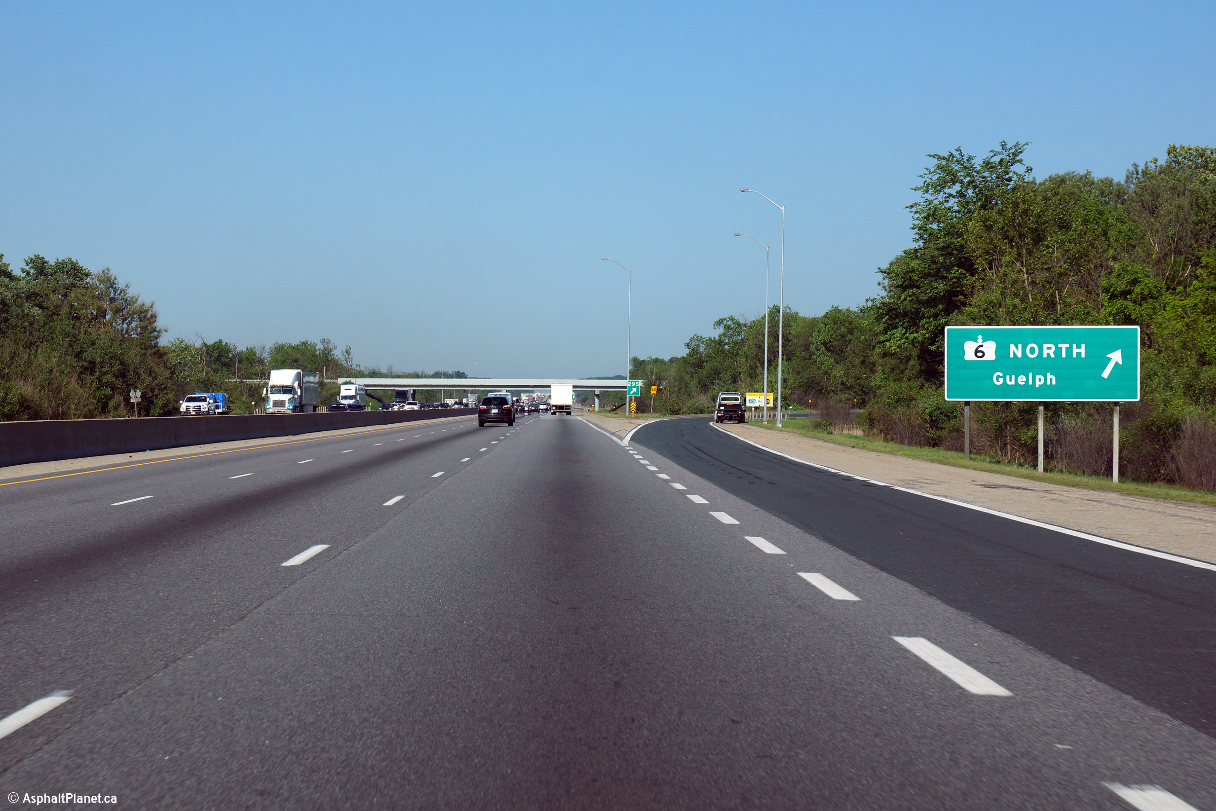
| Township of Puslinch County of Wellington |
Westbound signage at the off-ramp to Highway 6-North. Photo taken: June 2nd, 2015. |
 (720x480) (720x480)(1440x960) (2400x1600) |
||
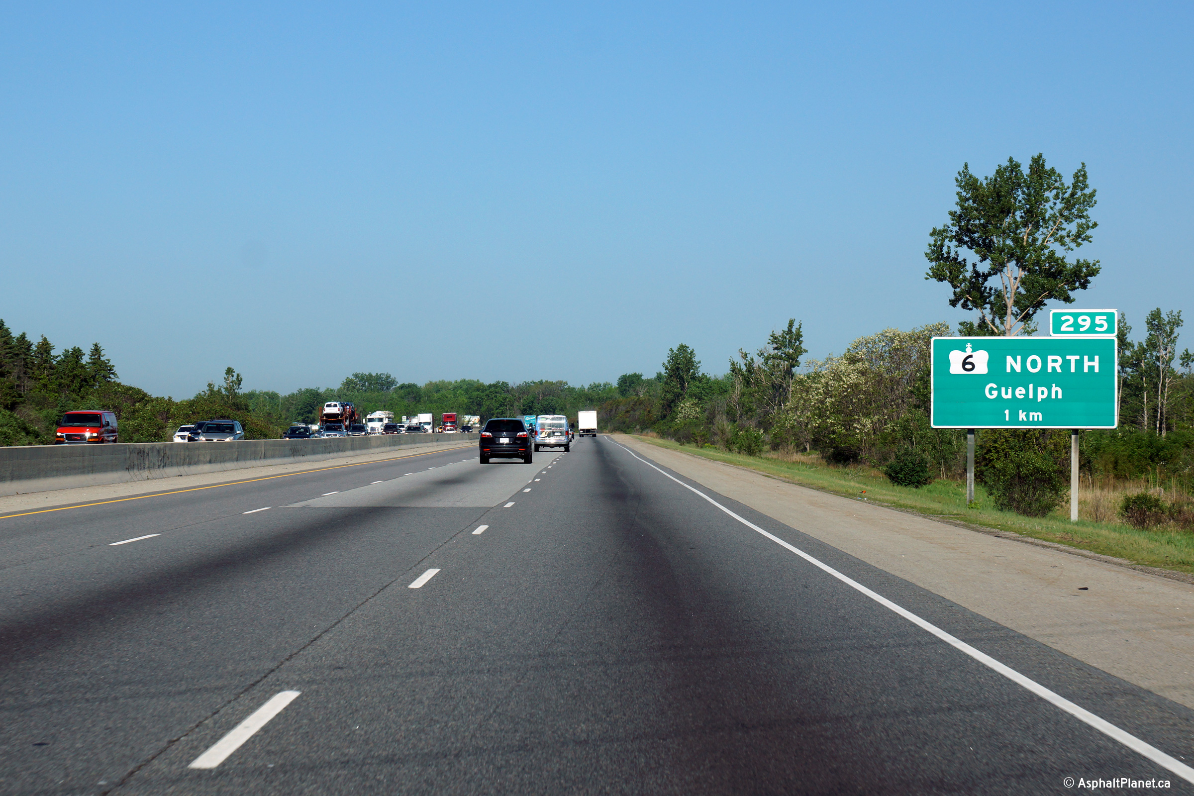
| Township of Puslinch County of Wellington |
Westbound advanced signage for the off-ramp to Highway 6-North. Photo taken: June 2nd, 2015. |
 (720x480) (720x480)(1440x960) (2400x1600) |
||
| Township of Puslinch County of Wellington |
Reassurance marker for Highway 401 between the two Highway 6's.
Interestingly, Highway 6 is signed with a trailblazer southbound, and with
nothing northerly. I am not sure why MTO is so reluctant to place
Highway 6 shields where it runs concurrent with 400-series highways. Photo taken: November 14th, 2009. |
 |
||
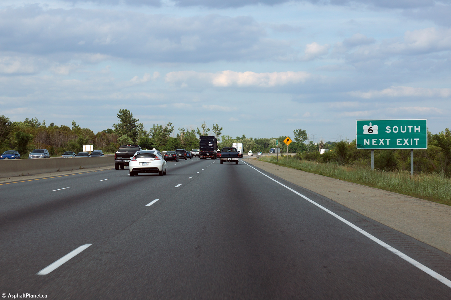
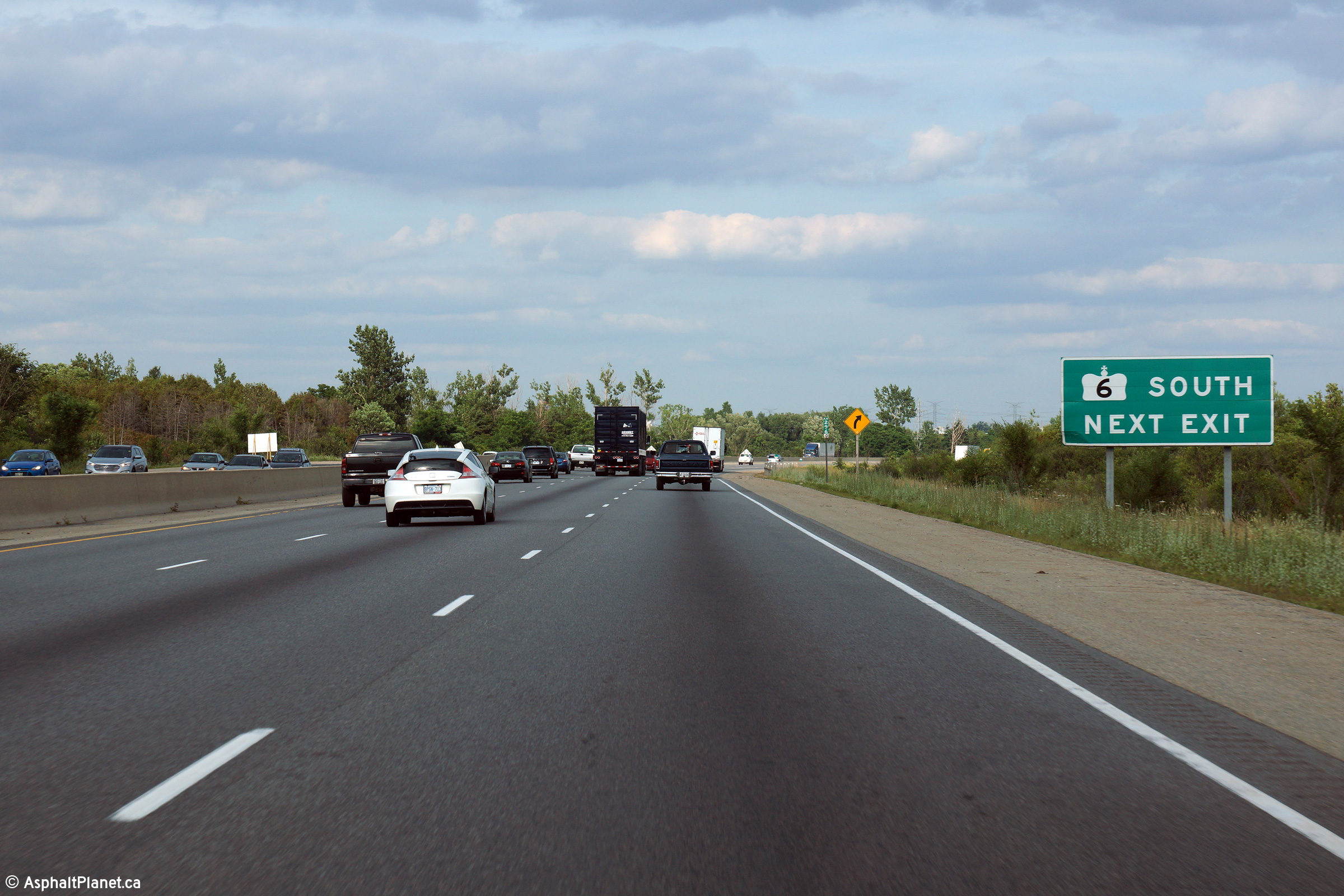
| Township of Puslinch County of Wellington |
Signage eastbound along Highway 401 taken from just beyond the western
Highway 6 interchange. Signs reading "next exit" are not generally used on
provincial freeways, however it is useful in this application given the
short concurrency of Highway 6 with the 401 Photo taken: July 25th, 2014. |
 (720x480) (720x480)(1440x960) (2400x1600) |
||
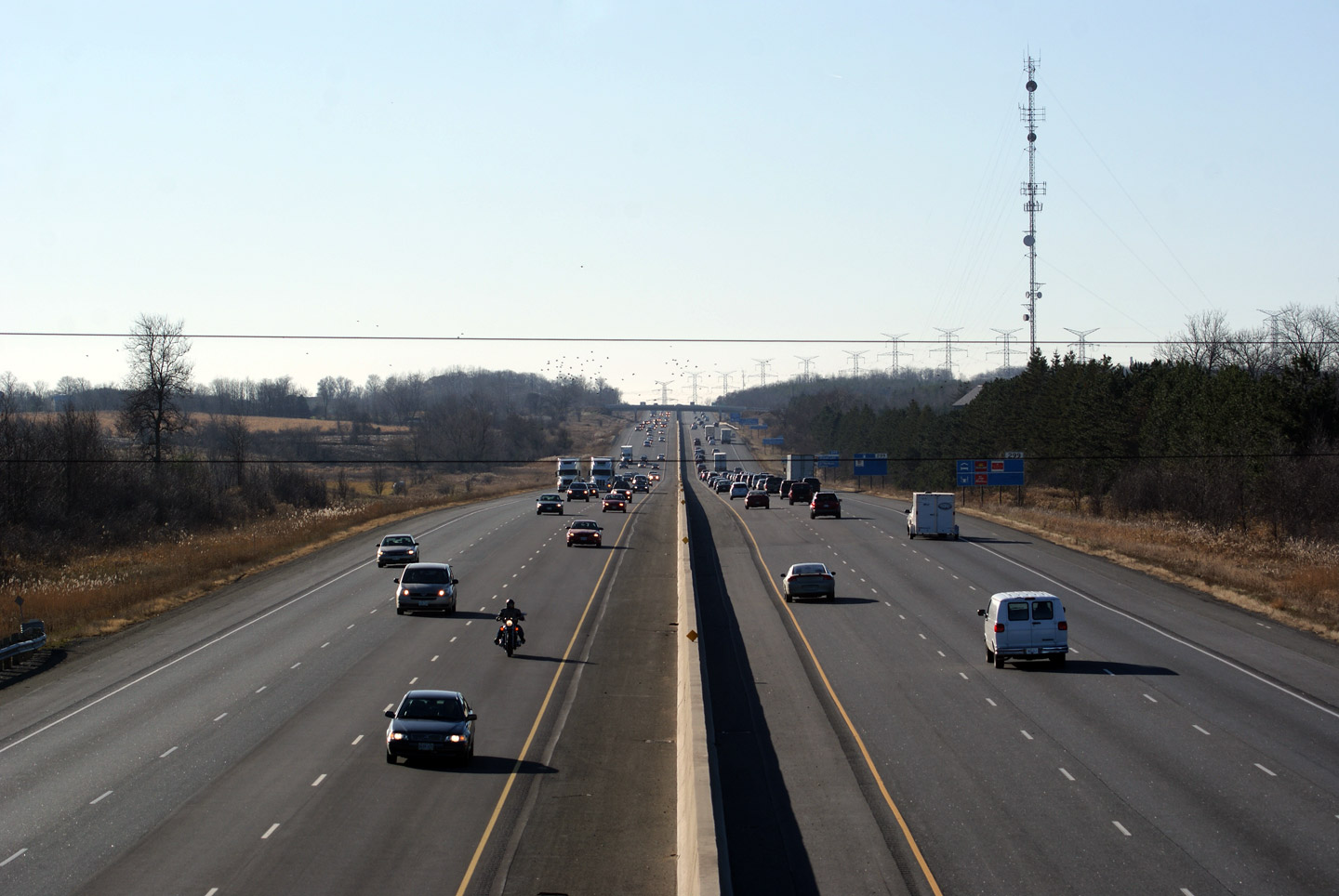
| Township of Puslinch County of Wellington |
Looking west towards London from the Concession Road 7 overpass. The
Concession Road 7 overpass is located about halfway between the
Highway 6 interchanges at kilometre marker 297. Photo taken: September 2nd, 2009. |
 |
||
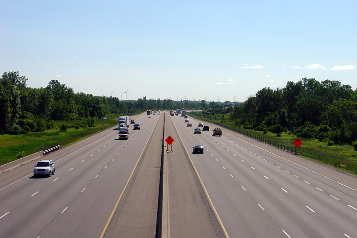
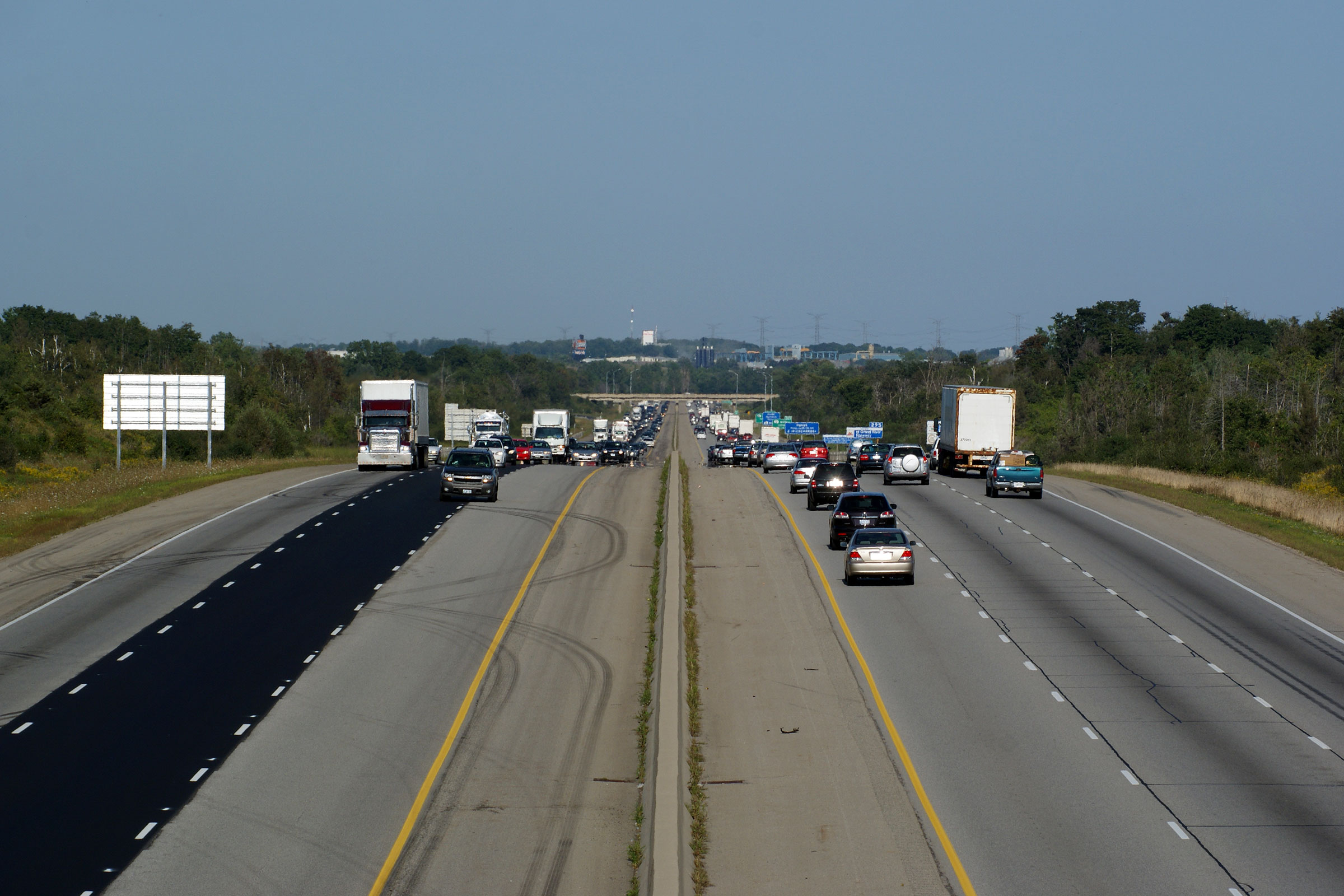
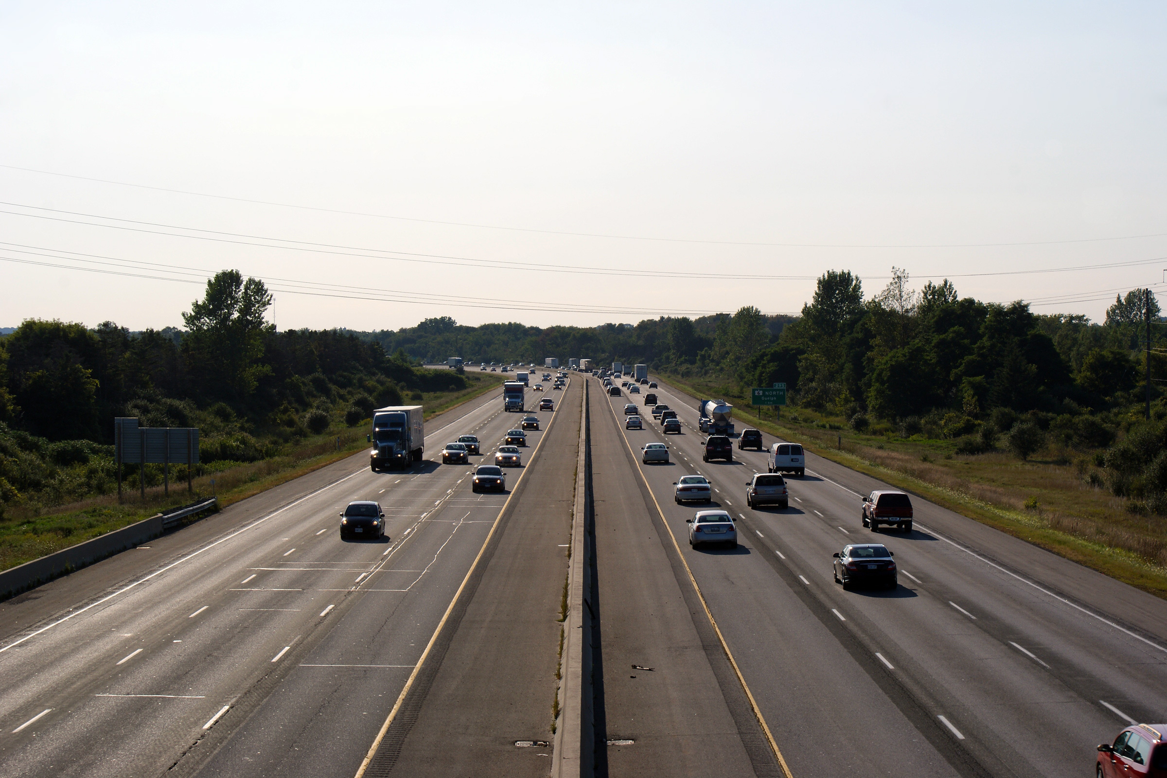
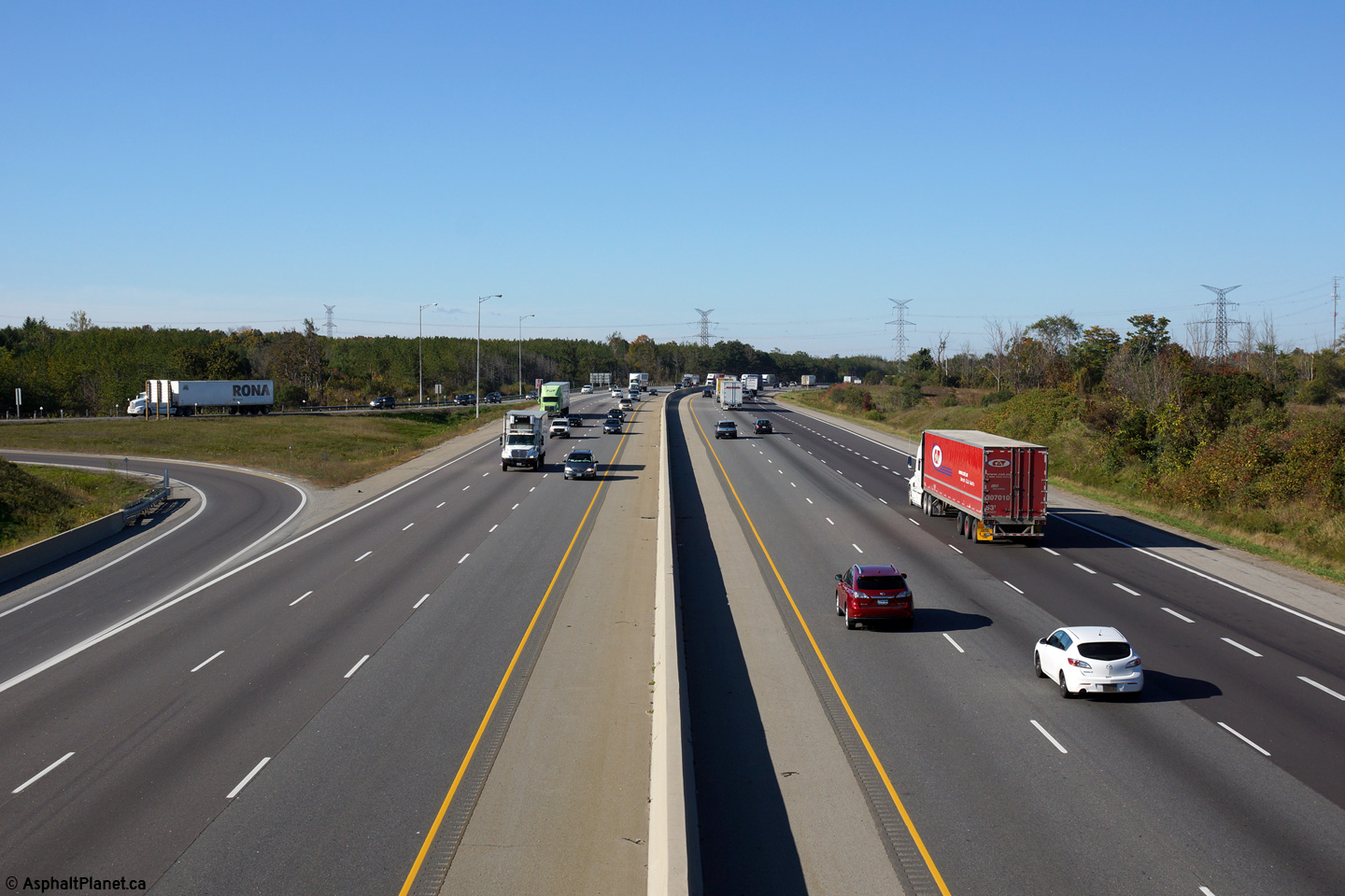
| Township of Puslinch County of Wellington |
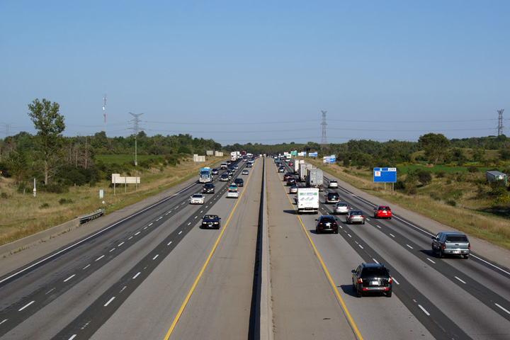
Looking east along Highway 6/401 from the Concession Road 7 overpass.
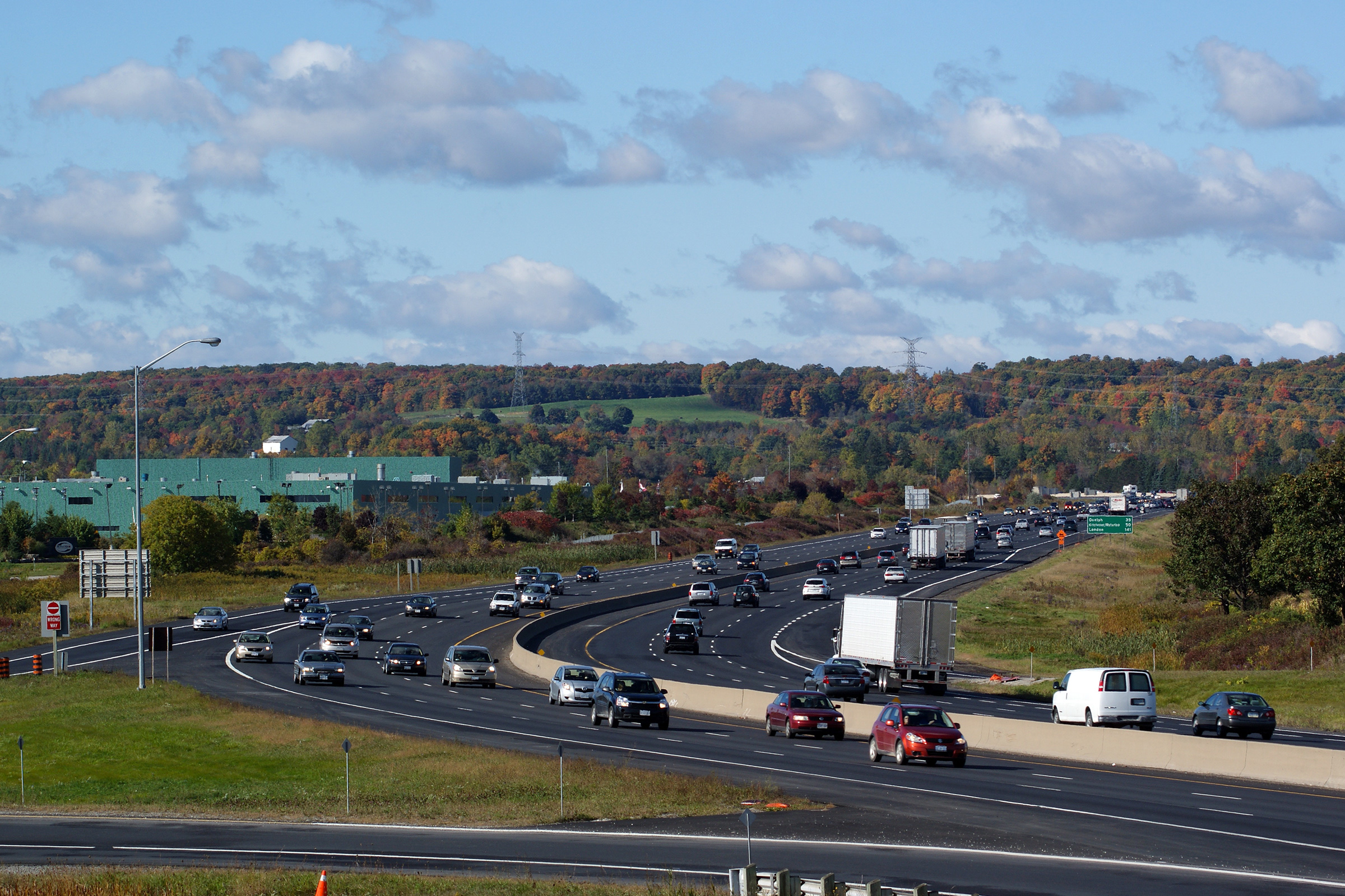
The 401 between the Highway 6 junctions is the busiest rural freeway in
Ontario. Plans have been drafted to link the Highway 6 interchanges,
without the concurrent routing along Highway 401. This link was first
envisioned when the Hanlon was constructed, however such a link has never
progressed past the conceptual phase. Photo taken: September 2nd, 2009. |
 |
||
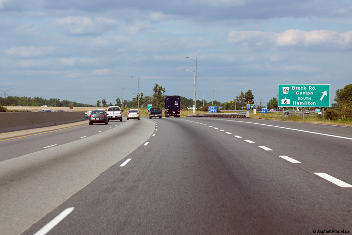
| Township of Puslinch County of Wellington |
Advanced signage for the eastern Highway 6/401
interchange. Photo taken: July 25th, 2014. |
 (720x480) (720x480)(1440x960) (2400x1600) |
||
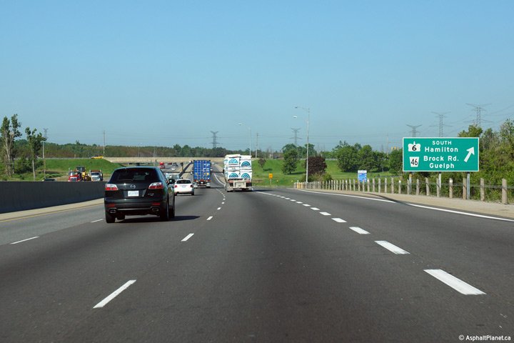
| Township of Puslinch County of Wellington |
Signage at the eastbound ramp at the southern Highway
6/401 interchange. Photo taken: July 25th, 2014. |
 (720x480) (720x480)(1440x960) (2400x1600) |
||
| Township of Puslinch County of Wellington |
Looking west along Highway 6/401 towards London. Highway 6 piggybacks
along Highway 401 for roughly 4km to the south of Guelph. Photo taken: October 9th, 2014. |
|
||
| South of the 401, Highway 6 bee-lines southerly to Highway 403 at the Hamilton/Burlington Boundary. Click here for Highway 6-South images. | ||||
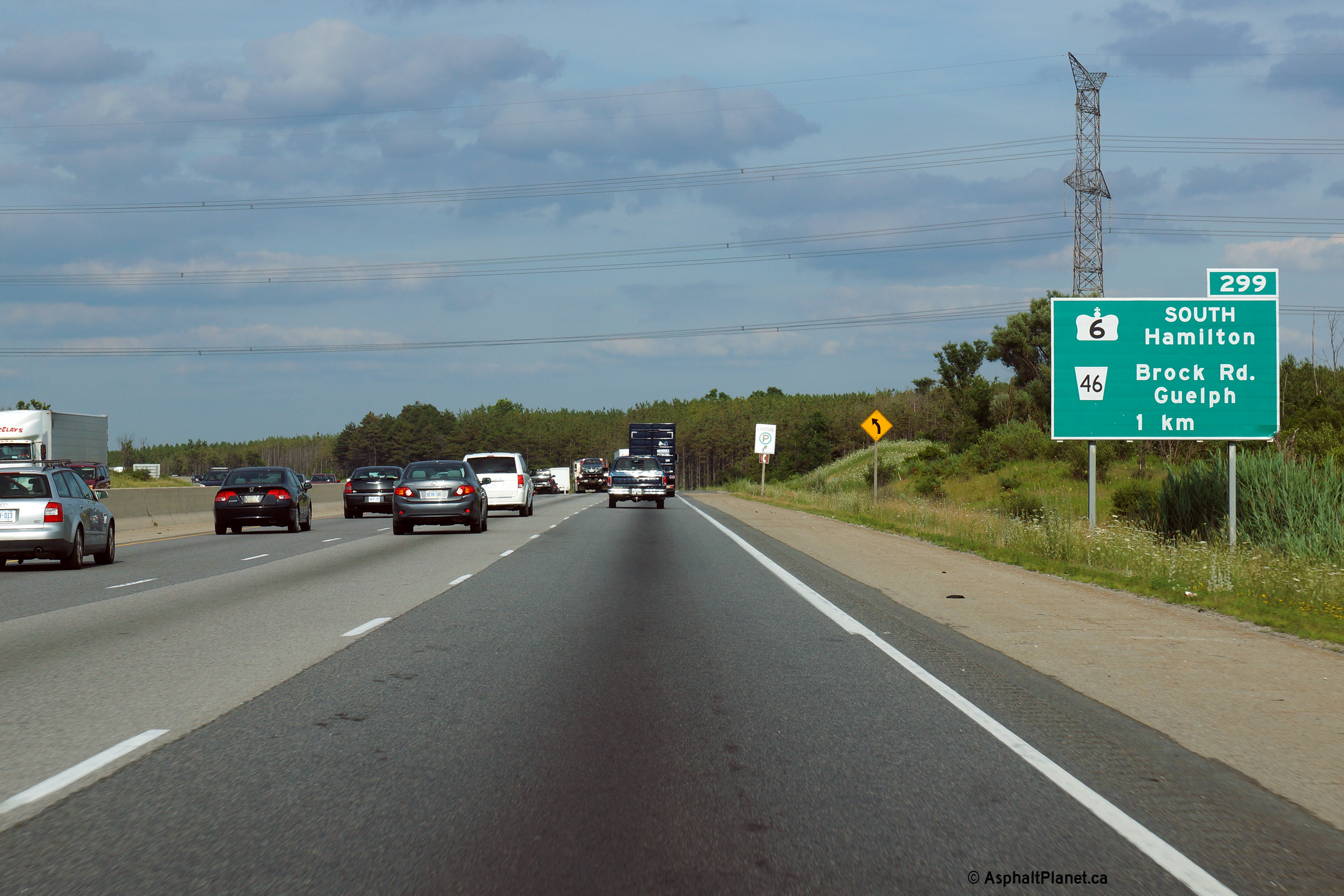
| Township of Puslinch County of Wellington |
Looking east from the Highway 6-South
overpass towards Toronto. Surprisingly, this interchange has always
been of a parclo A2 configuration. All other interchanges between two
highways along Highway 401 between Milton and Kitchener (which opened in
1960) were initially constructed as full cloverleaf interchanges. Photo taken: October 9th, 2014. |
 |
||
| Township of Puslinch County of Wellington |
Signage for the westbound exit to Highway 6-South. Photo taken: June 2nd, 2015. |
 (720x480) (720x480)(1440x960) (2400x1600) |
||
| Township of Puslinch County of Wellington |
Advanced signage for the exit to Highway 6 North. Photo taken: June 2nd, 2015. |
 (720x480) (720x480)(1440x960) (2400x1600) |
||
| Township of Puslinch County of Wellington |
Advanced exit guide signage for the Highway 6-South interchange.
Click here for an earlier photo of this
sign, taken in November, 2009. Photo taken: June 2nd, 2015. |
 (720x480) (720x480)(1440x960) (2400x1600) |
||
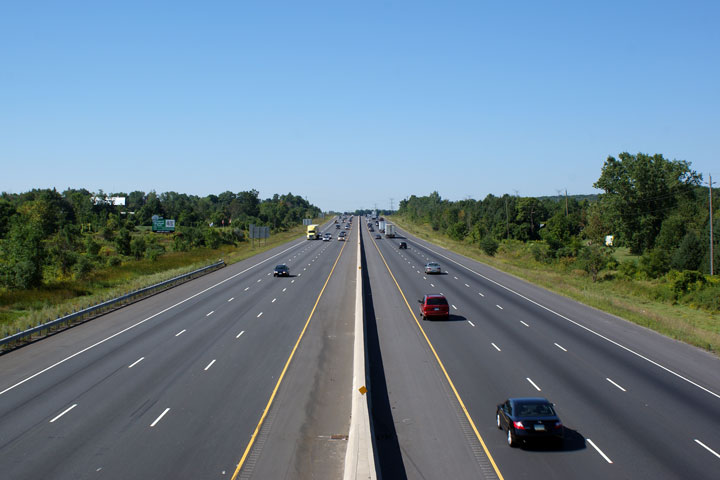
| Township of Puslinch County of Wellington |
Looking west along Highway 401 Wellington Road 36 overpass. The
overpass at Wellington Road 36 was the first overpass without an interchange
on the 401 between Kitchener and Milton to be rehabilitated. This
rehabilitation work was carried out during the 2004 construction season. Photo taken: November 14th, 2009. |
 |
||
| Township of Puslinch County of Wellington |
Looking east along Highway 401 from the
Wellington Road 36 overpass. Photo taken: November 14th, 2009. |
 |
||
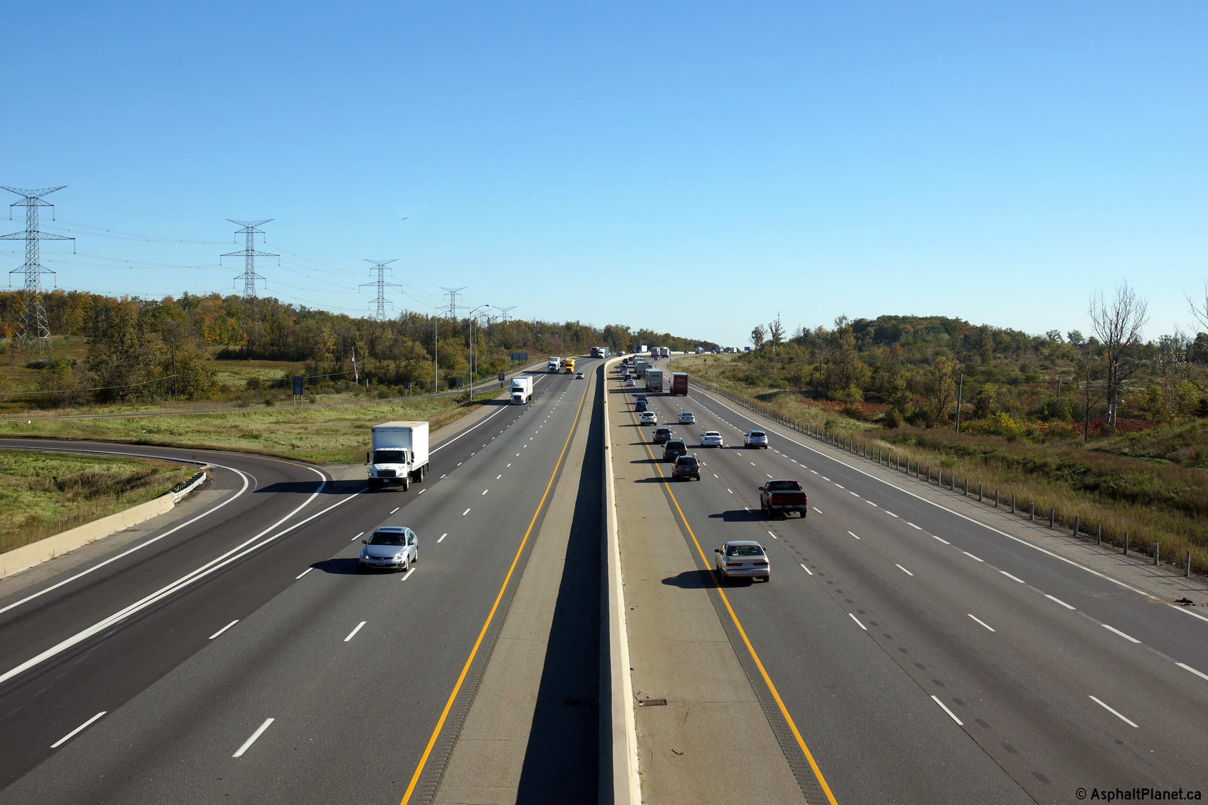
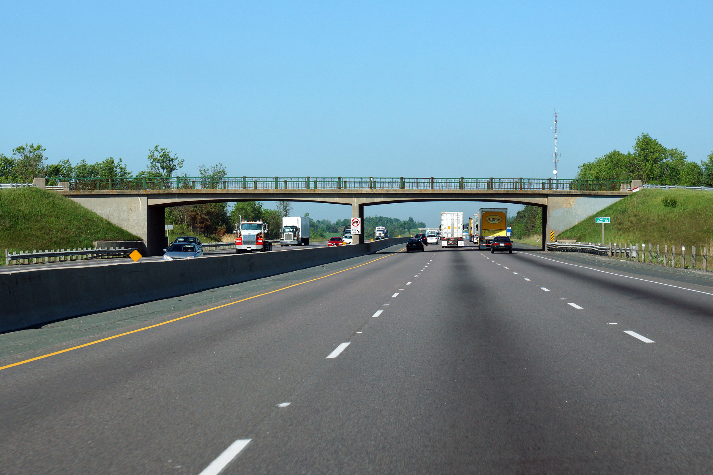
| Township of Puslinch County of Wellington |
Easterly view at the Puslinch Concession 10 overpass. At the time that
this photo was taken, only a handful of bridges retaining their original
steel railings remained along the 401 west of Toronto. Photo taken: July 25th, 2014. |
 (720x480) (720x480)(1440x960) (2400x1600) |
||
| Township of Puslinch County of Wellington |
View looking westerly from the Watson Road overpass towards the Highway 6
interchange. Note how busy The 401 is even on a Saturday afternoon in
November. The MTO has been evaluating options to improve the Highway 401
corridor through Wellington County. Photo taken: November 14th, 2009. |
 |
||
| Township of Puslinch County of Wellington |
Easterly view from Watson Road. Photo taken: November 14th, 2009. |
 |
||
| Township of Puslinch County of Wellington |
Westerly view approaching the Puslinch Concession 10 overpass. Photo taken: June 2nd, 2015. |
 (720x480) (720x480)(1440x960) (2400x1600) |
||
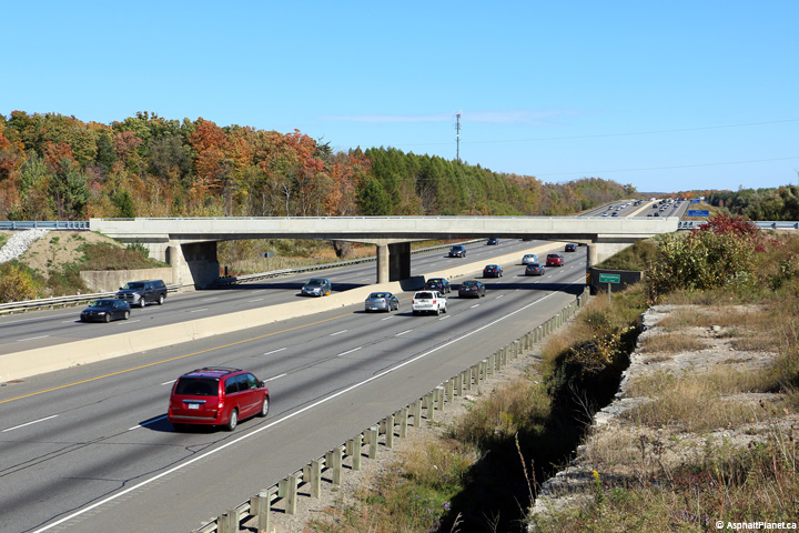
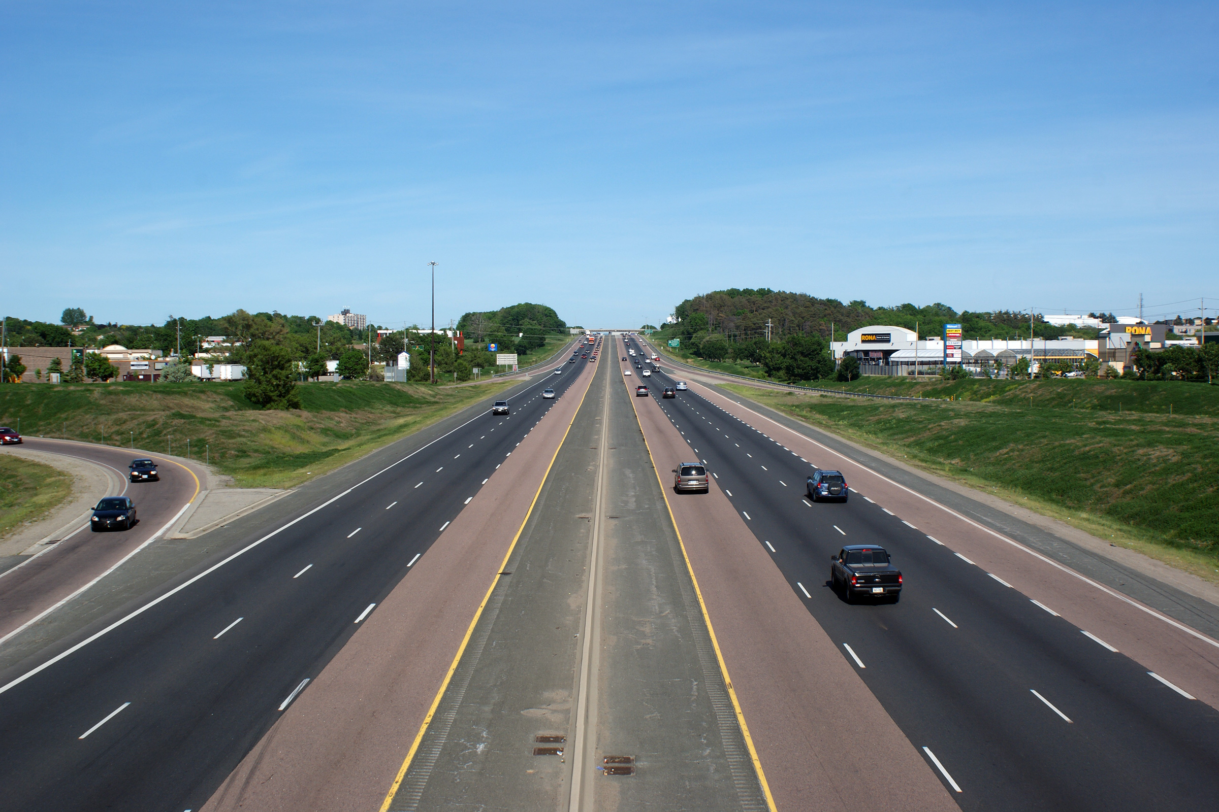
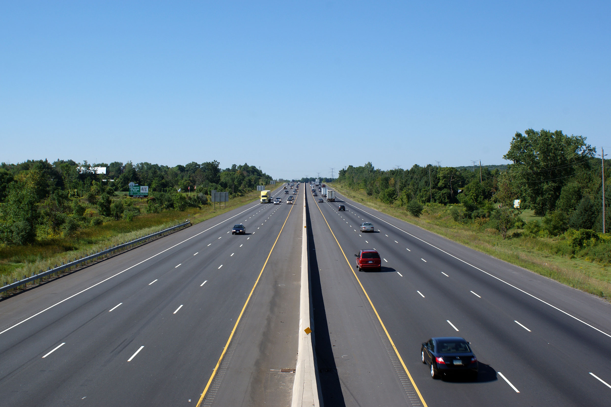
| Town of Milton Regional Municipality of Halton |
View looking easterly along Highway 401 as the highway passes underneath of
Nassagaweya Line 1. The 1960s-vintage structures erected along much of
Highway 401 utilize this concrete ridged frame design. The upper photo
shows the structure while it retained its original painted steel railings.,
In my opinion, these railings really add to the highways pleasant
aesthetics. Understandably these ornamental steel railings are no longer an accepted
design in the OPSD, and the railings were replaced as part of a recent
structural rehabilitation project. Upper photo taken: November 14th, 2009. Lower photo taken: October 11th, 2015. |
 (720x480) (1440x960) (2400x1600) |
||
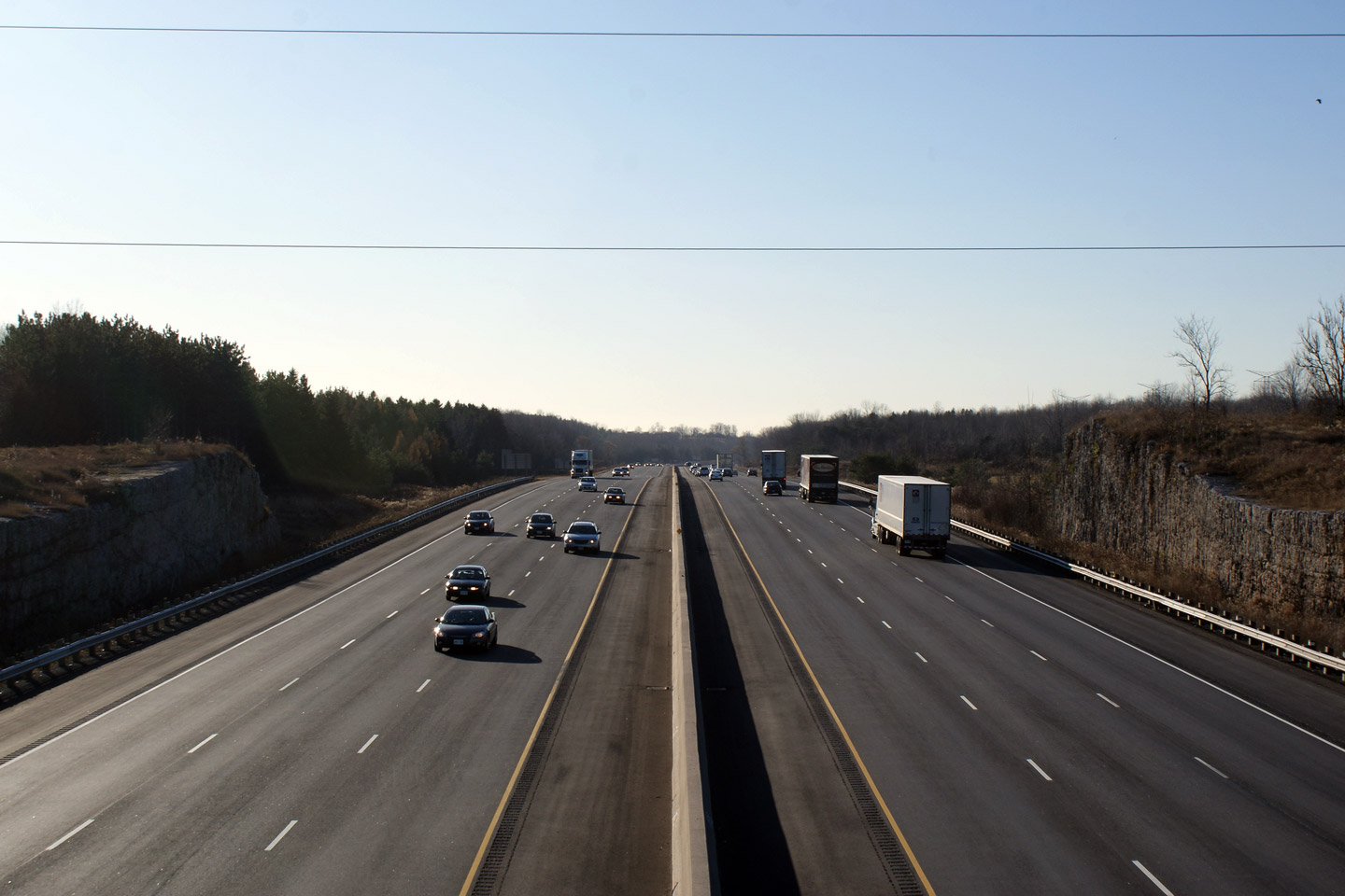
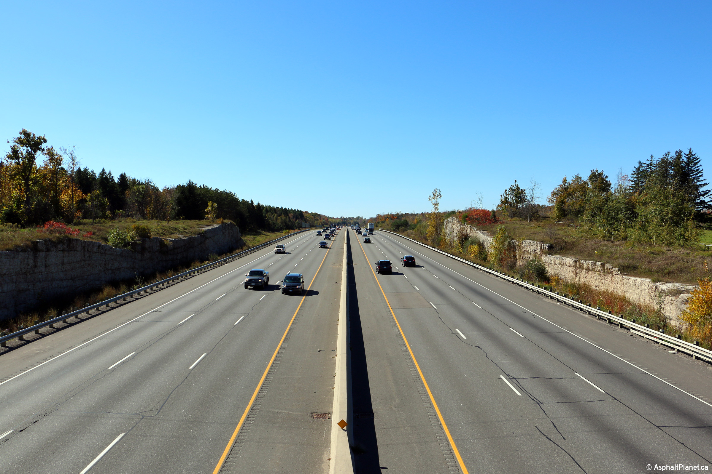
| Town of Milton Regional Municipality of Halton |
Looking west towards Kitchener from the Nassagaweya 1st Line overpass.
Notice the limestone cut that the 401 passes through. Although exposed
limestone is common in the areas surround the Niagara Escarpment, this is
the only exposed rock face along Highway 401 outside of Eastern Ontario.
The Niagara Escarpment was designated a World Biosphere Reserve by UNESCO in
1990. Along with the Oak Ridges Moraine, the Escarpment is one of
Southern Ontario's most notable geographic features.
Click here for an additional view from
this vantage point, taken in November, 2009. Photo taken: October 11th, 2015. |
|
||
| Town of Milton Regional Municipality of Halton |
Looking easterly from the Nassagaweya Road overpass.
Click here for an additional view from
this vantage point, taken in November, 2009. Photo taken: October 11th, 2015. |
 |
||
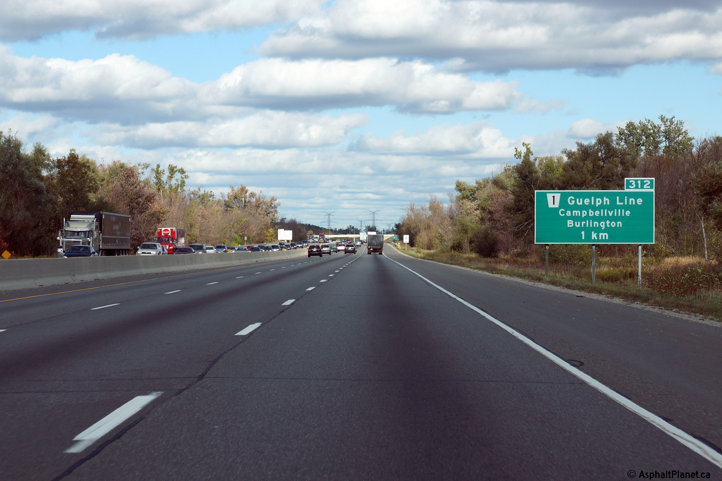
| Town of Milton Regional Municipality of Halton |
Eastbound advanced signage for the off-ramp to Guelph Line. Photo taken: October 9th, 2014. |
 (720x480) (720x480)(1440x960) (2400x1600) |
||
| Town of Milton Regional Municipality of Halton |
Easterly view at the off-ramp to Guelph Line. Photo taken: October 9th, 2014. |
 (720x480) (720x480)(1440x960) (2400x1600) |
||
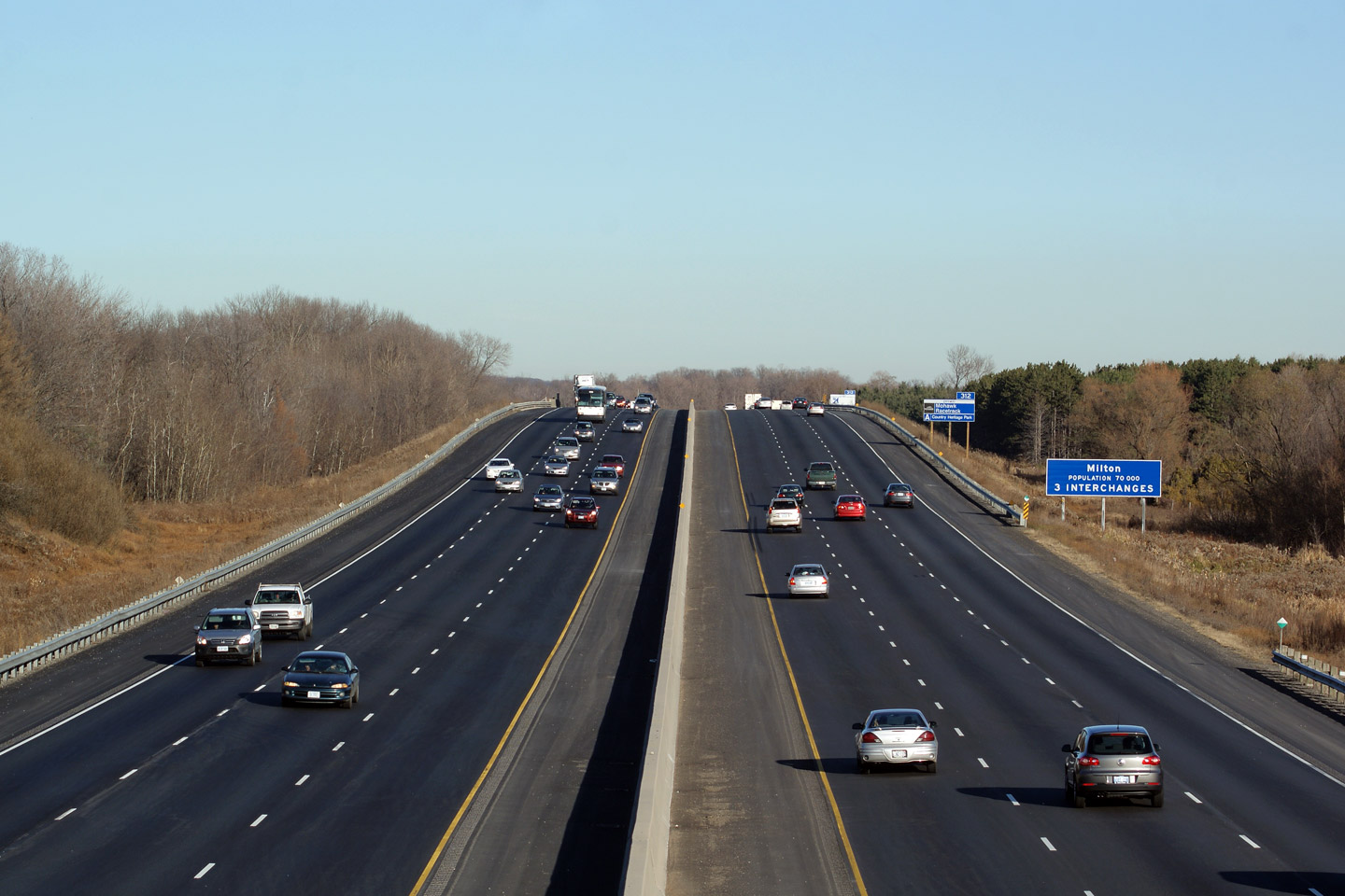
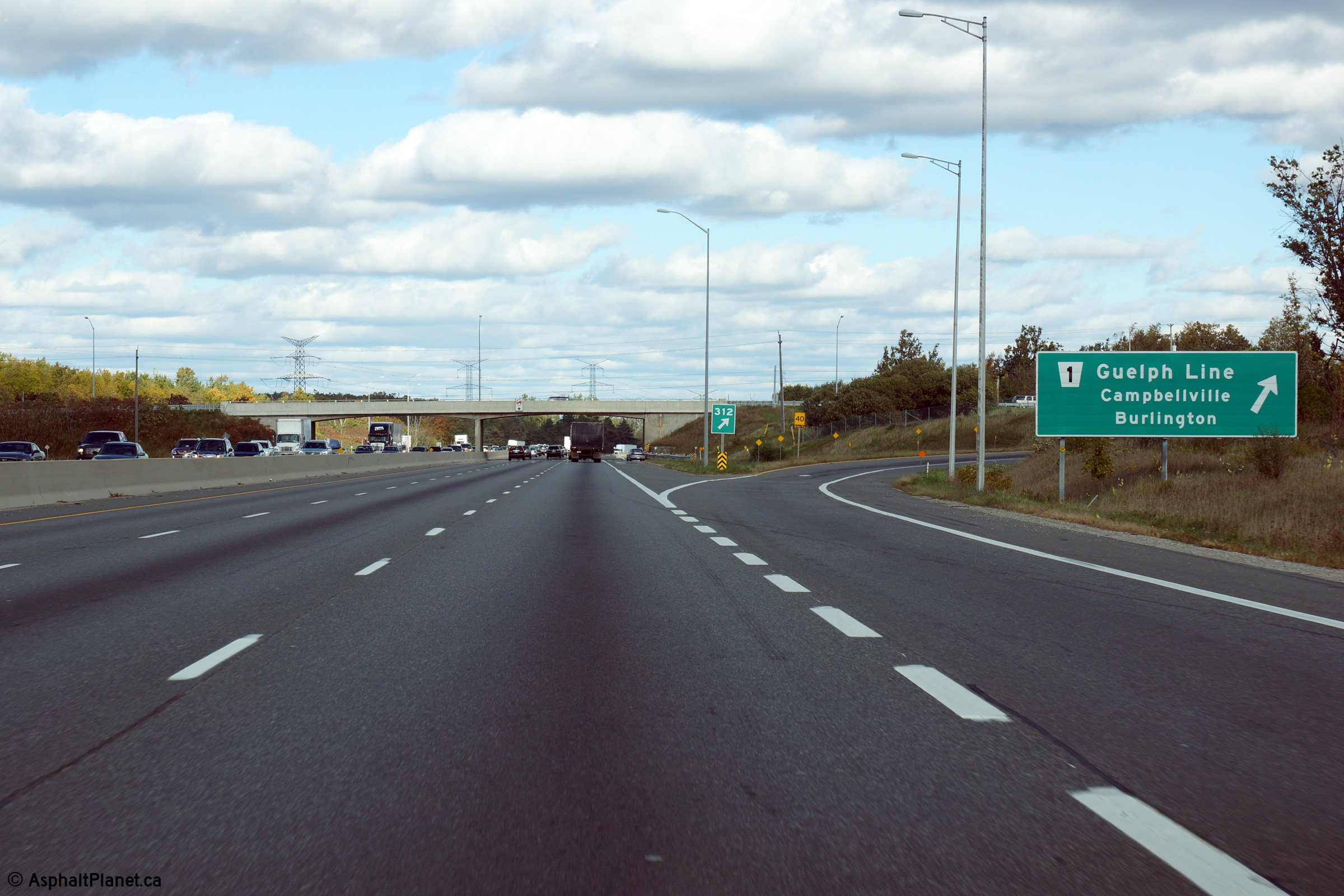
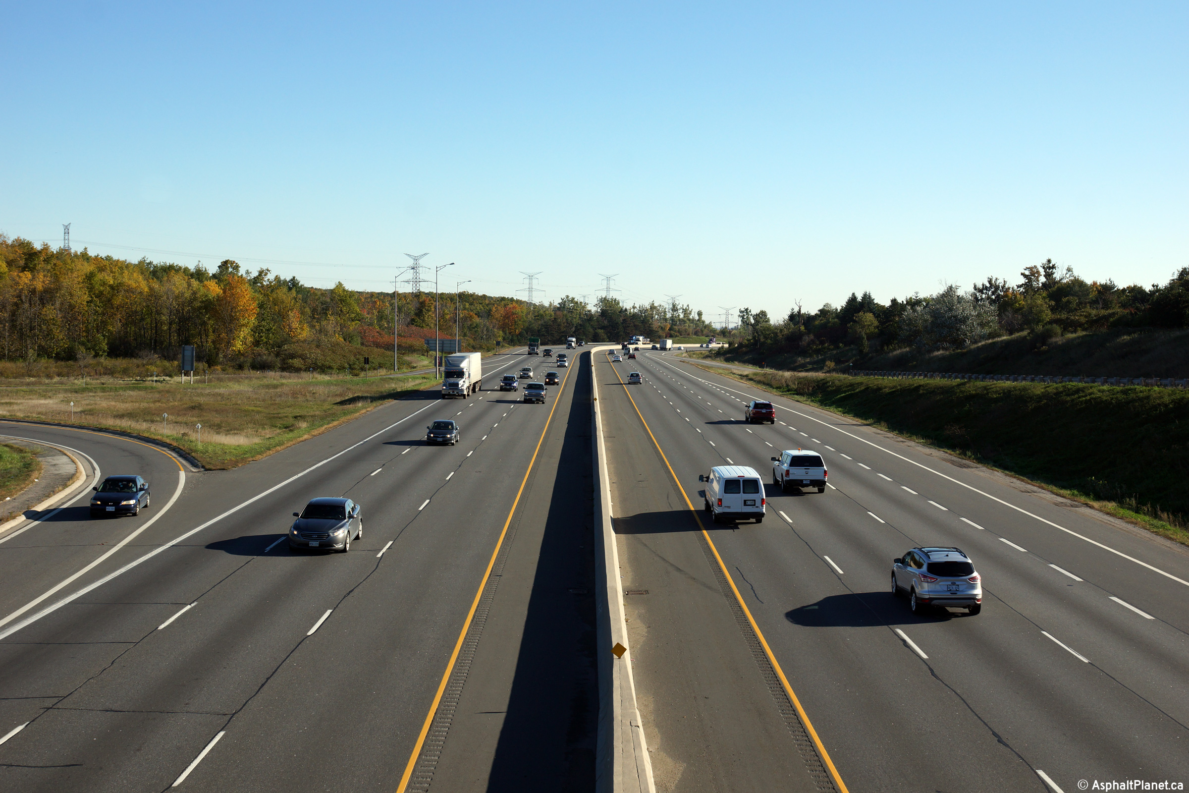
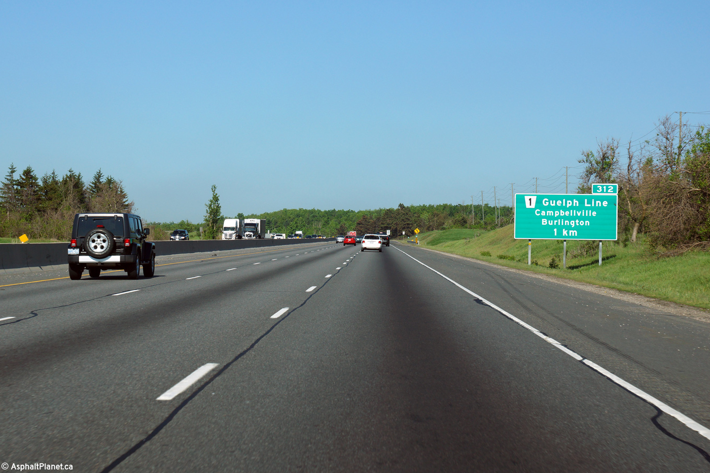
| Town of Milton Regional Municipality of Halton |
Highway 401 looking west from the Guelph Line overpass. Guelph Line is
located approximately at kilometre marker 312.
Click here for an additional view
from this vantage point, taken in August, 2010. Photo taken: October 9th, 2014. |
|||
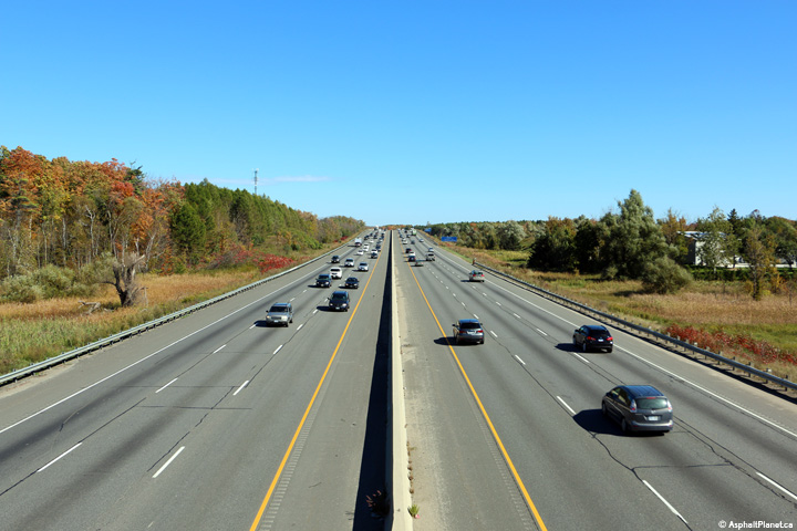
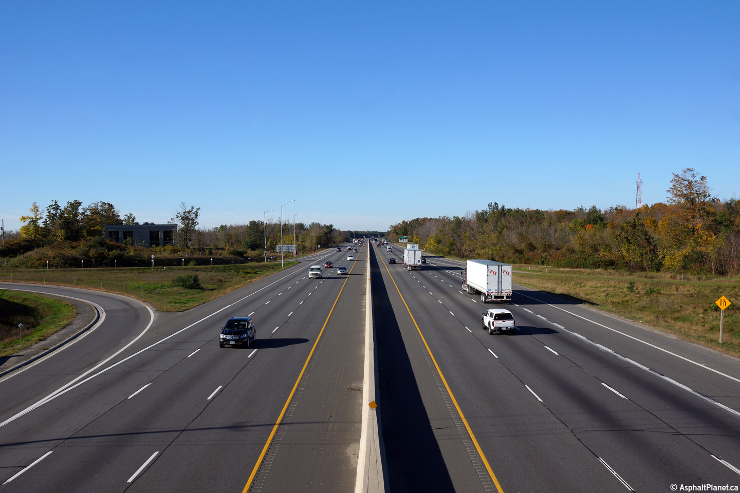
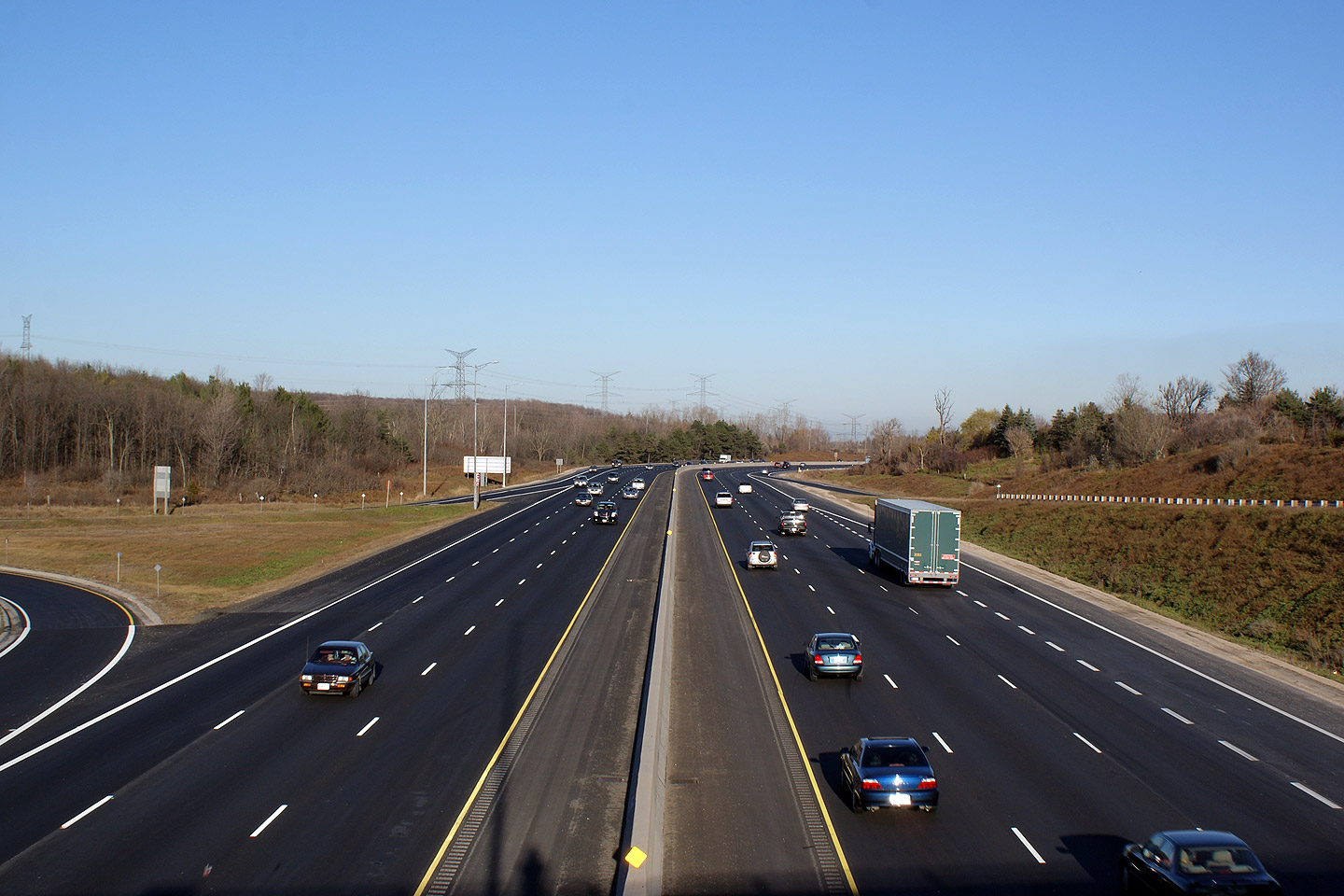
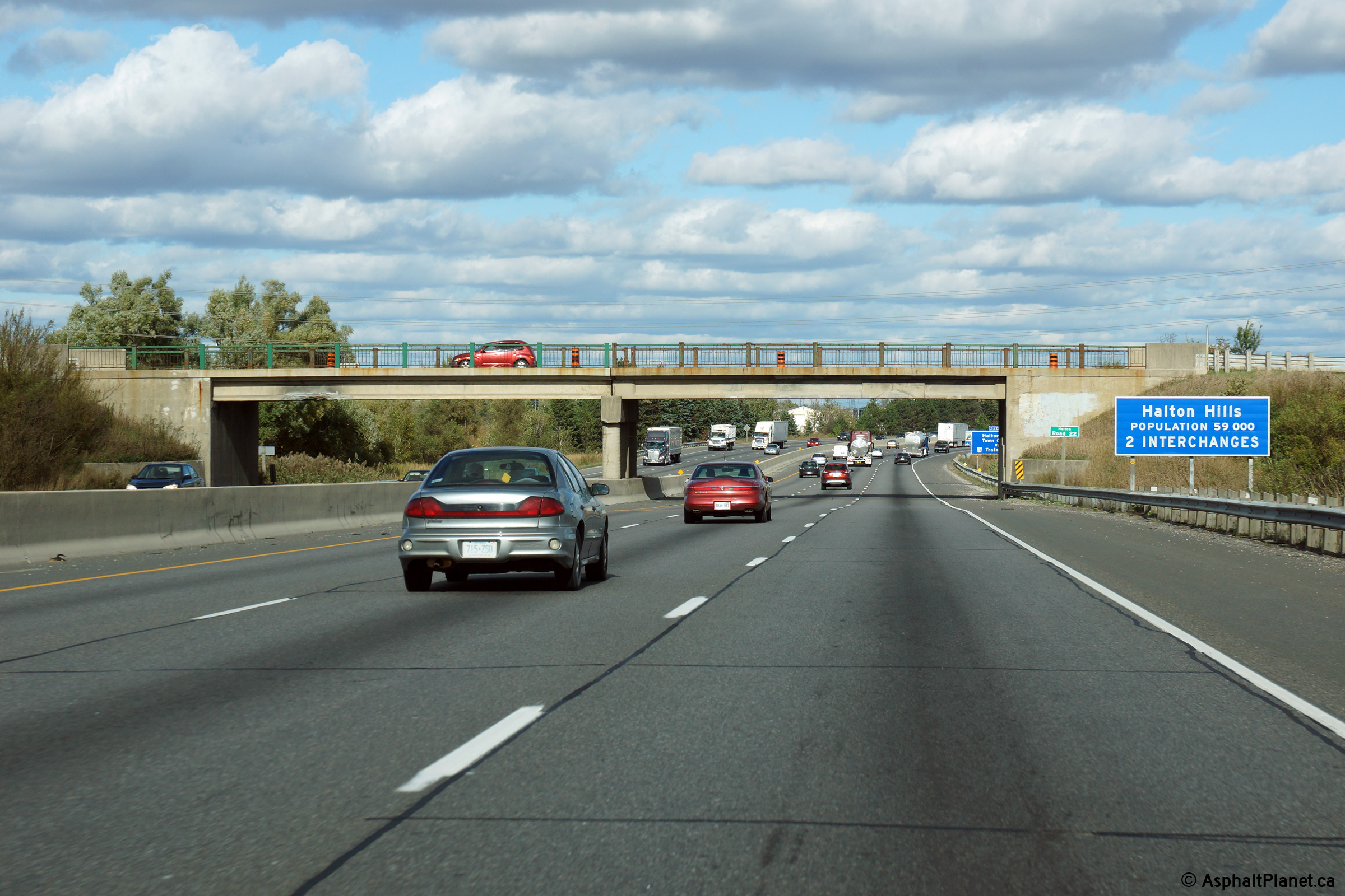
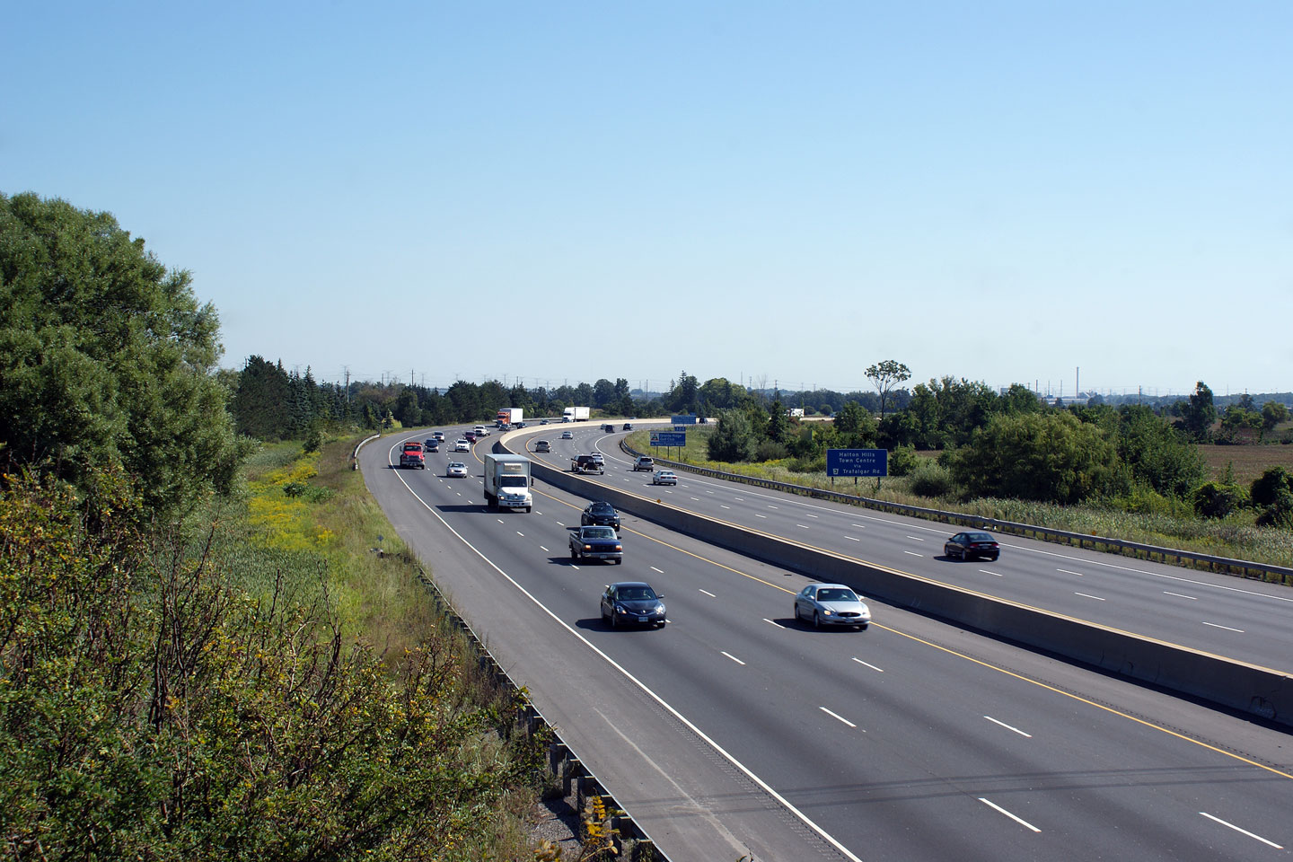
| Town of Halton Hills Regional Municipality of Halton |
Looking easterly along Highway 401 from the
Guelph Line overpass. Just east of Guelph Line, Highway 401 begins its
long descent down the Niagara Escarpment. The Niagara Escarpment is a
considerable feature in the Southern Ontario landscape; the 401 ascends and
descends the escarpment so gracefully it is barely noticeable to highway
drivers. Click here for an
additional view from this vantage point, taken in November, 2009. Photo taken: October 9th, 2014. |
|
||
| Town of Halton Hills Regional Municipality of Halton |
Westerly view at the off-ramp to Guelph Line. Photo taken: June 2nd, 2015. |
 (720x480) (720x480)(1440x960) (2400x1600) |
||
| Town of Halton Hills Regional Municipality of Halton |
Westbound guide signage in advance of the Guelph Line interchange. Photo taken: June 2nd, 2015. |
 (720x480) (720x480)(1440x960) (2400x1600) |
||
| Town of Milton Regional Municipality of Halton |
View looking easterly through the Tremaine Road overpass. Photo taken: October 9th, 2014. |
 (720x480) (720x480)(1440x960) (2400x1600) |
||
| Town of Milton Regional Municipality of Halton |
Looking westerly along Highway 401 from the Tremaine Road overpass in the
West end of Milton. Tremaine Road is located roughly at kilometre
marker 317. Photo taken: August 28th, 2010. |
 (720x480) (1440x960) (2400x1600) |
||
| Town of Milton Regional Municipality of Halton |
As part of Milton's long term development plan, a new structure and
interchange will be constructed just east of the Tremain Road interchange
roughly at the pictured curve. This interchange would serve Milton's
west side 'Sherwood' community. Although this interchange is indicated in
Milton's official plan, no construction commitments or timelines have been
established. Photo taken: August 28th, 2010. |
 (720x480) (1440x960) (2400x1600) |
||
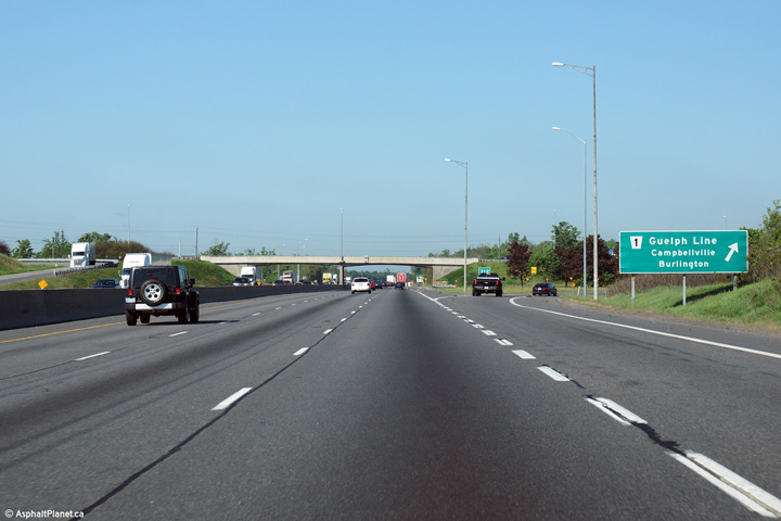
| Town of Milton Regional Municipality of Halton |
Advanced signage for the ramp to Highway 25 in Milton. Photo taken: October 9th, 2014. |
 (720x480) (720x480)(1440x960) (2400x1600) |
||
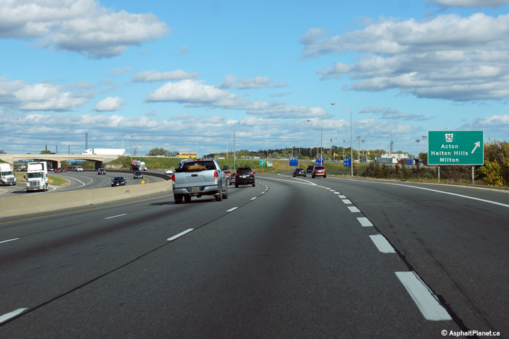
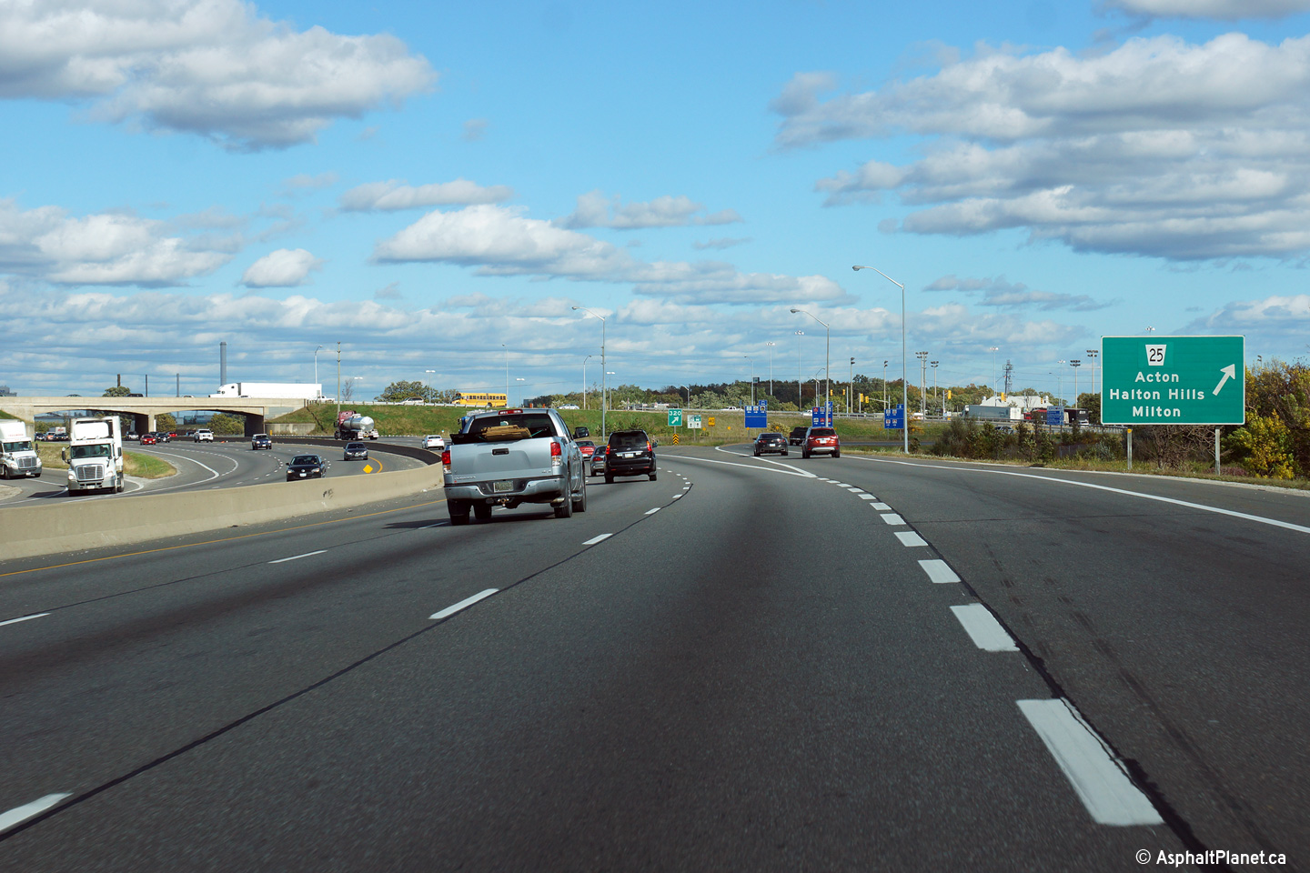
| Town of Milton Regional Municipality of Halton |
Easterly view at the off-ramp to Highway 25 in Milton. Highway 25 is
the principal route in Milton's historic business district. Photo taken: October 9th, 2014. |
 (720x480) (720x480)(1440x960) (2400x1600) |
||
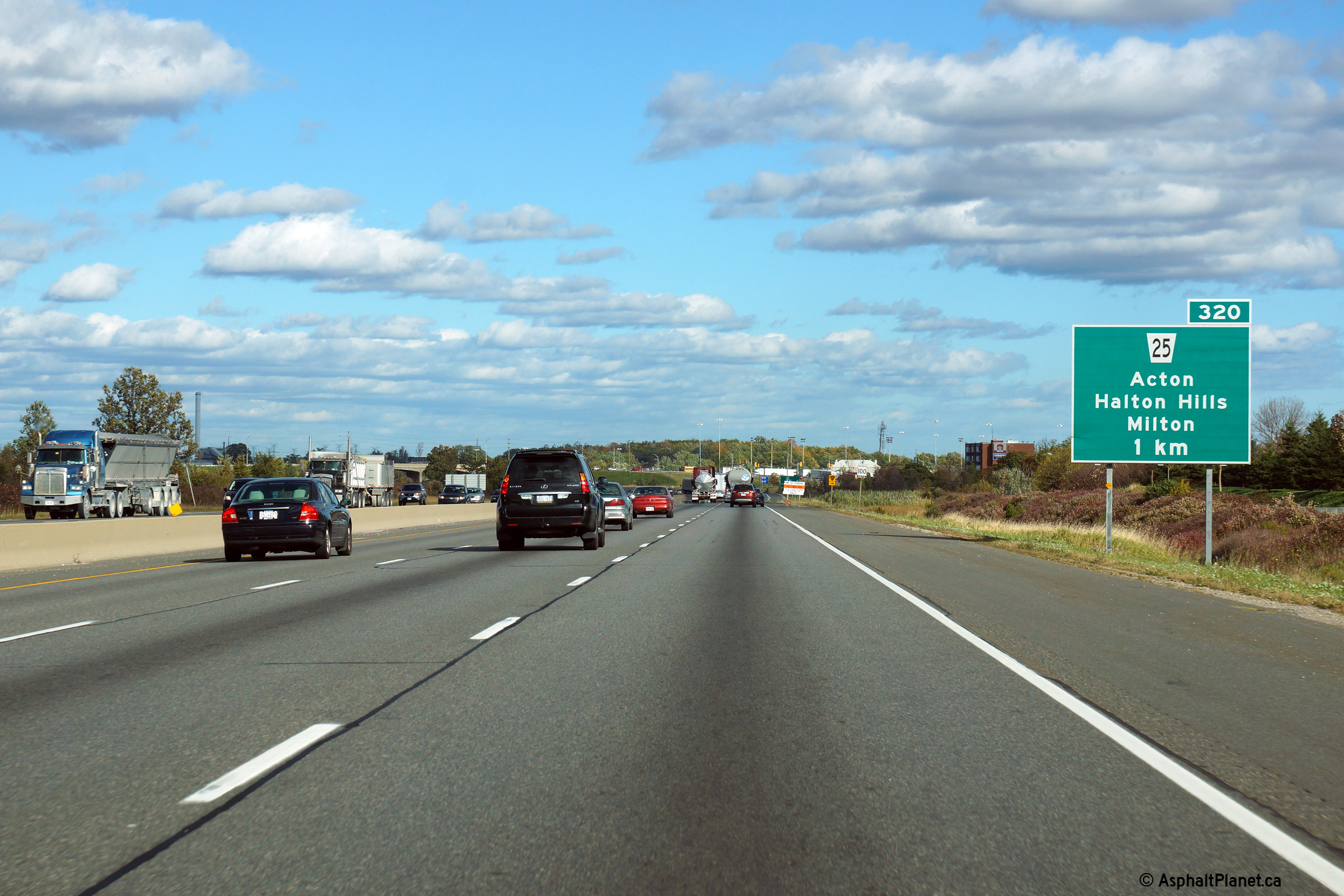
| Town of Milton Regional Municipality of Halton |
View looking westerly along Highway 401 from the
Highway 25 overpass in Milton. Highway
25 is located at kilometre marker 320.
Click here to jump to the view looking
east from the Highway 25 overpass. Photo taken: October 10th, 2009. |
 (720x480) (1440x960) (2400x1600) |
||
| Highway 25 ran between the QEW and Highway 89. Click here for Highway 25 images. | ||||
| Click here for Milton to Mississauga Images | ||||
<- Page 6 Images Highway 401 Images Index Page 8 Images ->
<- Highway 400 Images Back to Highway 401 Highway 402 Images ->
Copyright (c) 2004-2016, AsphaltPlanet.ca AsphaltPlanet@asphaltplanet.ca


