AsphaltPlanet.ca > OntHighways >
Highway 401 > Images
> Page 6
King's Highway 401 - Images
<- Page 5 Page 6 - Woodstock to Cambridge Page 7->
Photos shown in this table are arranged from West to East:
| Proper Municipality Name | Photo Description | Photo | ||
|
Photos taken from driver's perspective appear offset from centre-line Photos: |
East- |
West- bound |
||
| Continued From London to Woodstock Images | ||||
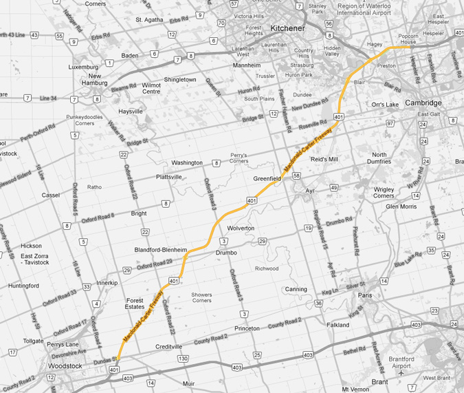
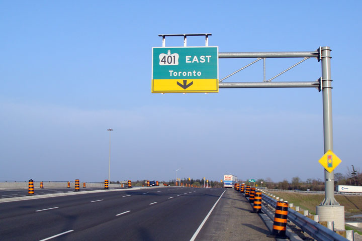
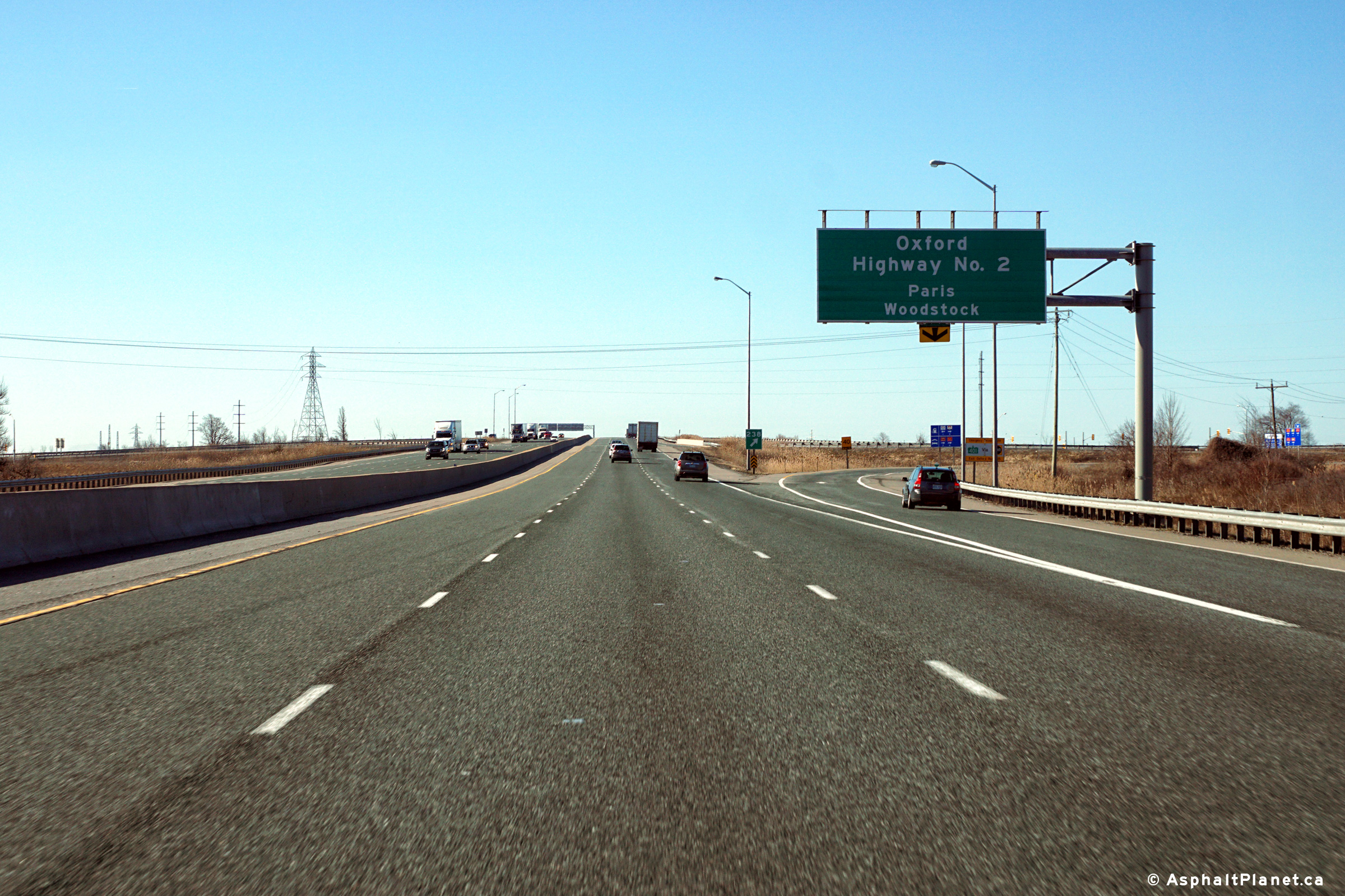
| Township of Blandford Blenheim County of Oxford |
Westerly view at the off-ramp to Highway 2. Photo taken: March 29th, 2016. |
 (720x480) (720x480)(1440x960) (2400x1600) |
||
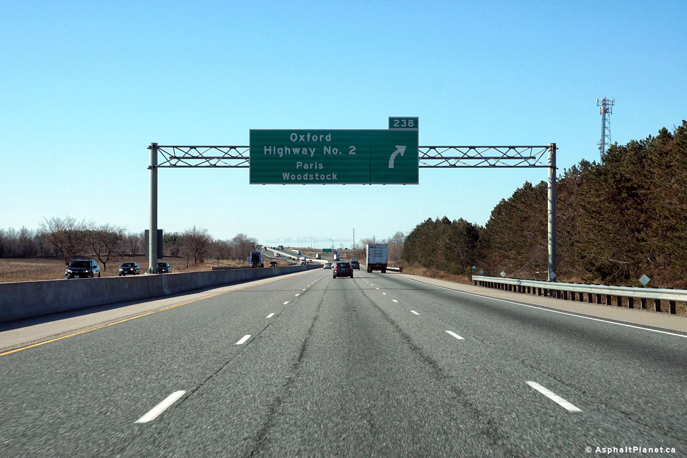
| Township of Blandford Blenheim County of Oxford |
Westbound advanced signage for the ramp to
Highway 2 along the eastern side of Woodstock. Photo taken: March 29th, 2016. |
 (720x480) (720x480)(1440x960) (2400x1600) |
||
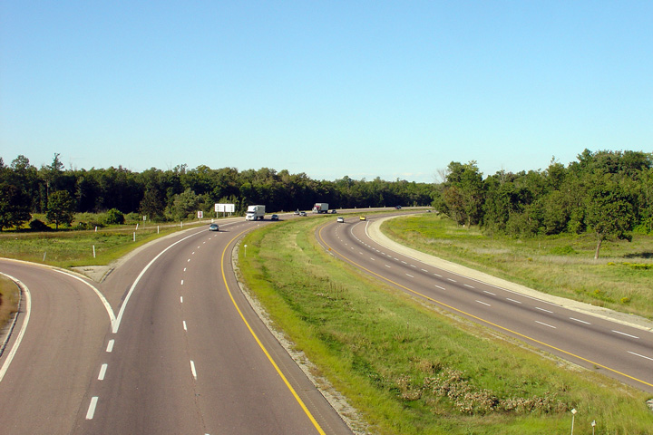
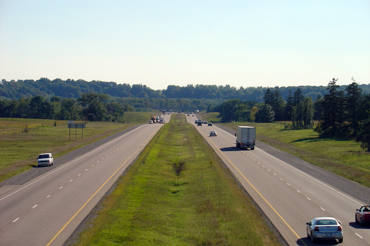
| Township of Blandford Blenheim County of Oxford |
Looking west towards Woodstock from Blandford
Line. Blandford Line is located about 3km east of the
Highway 2 interchange near
Woodstock, at approximately kilometre marker 241. Upper photo taken: September 9th, 2005. Lower photo taken: July 21st, 2012. |
 (720x480) (1440x960) (2400x1600) |
||
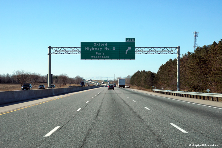
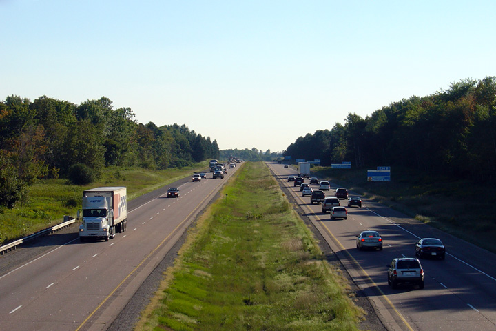
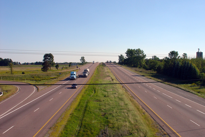
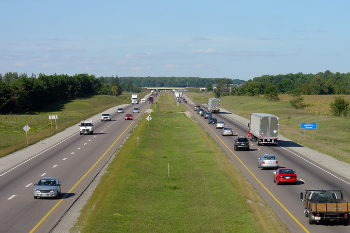
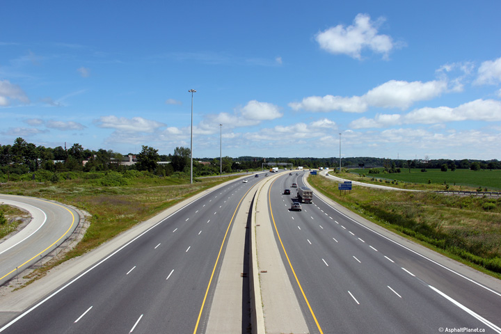
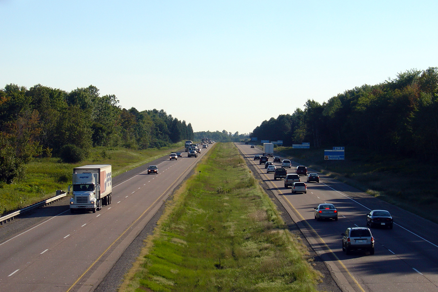
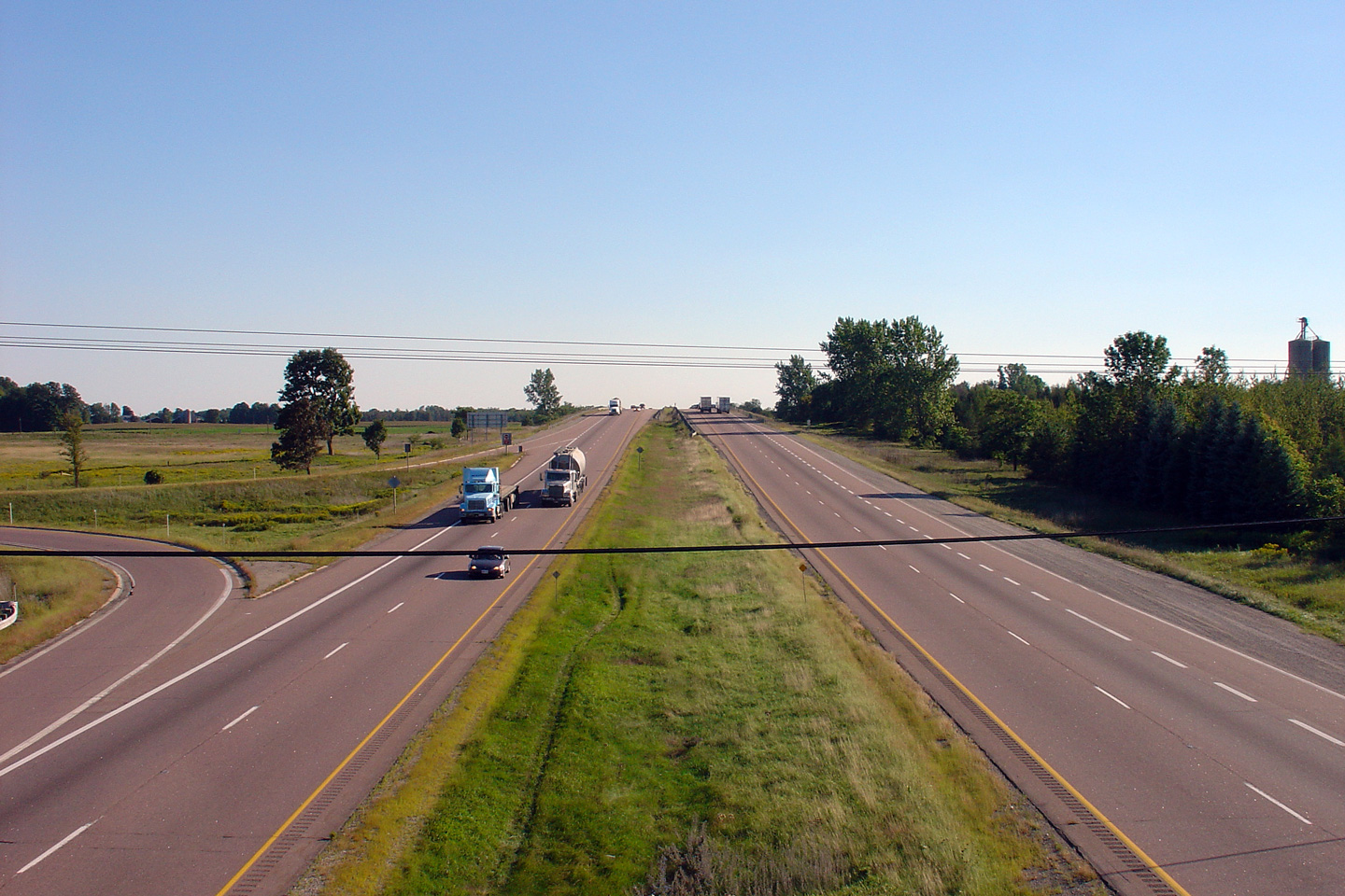
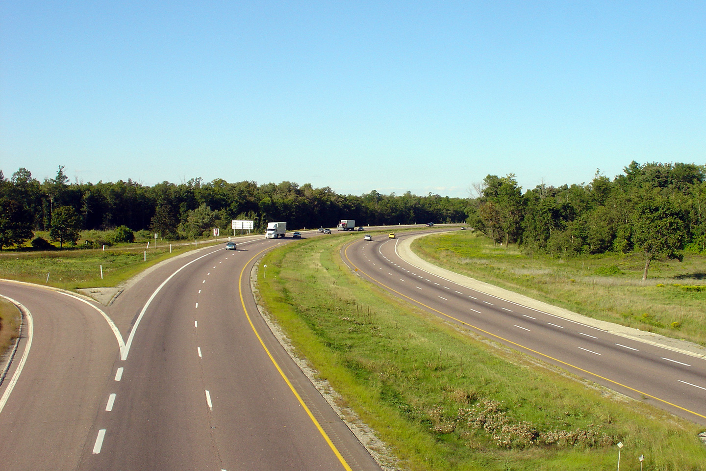
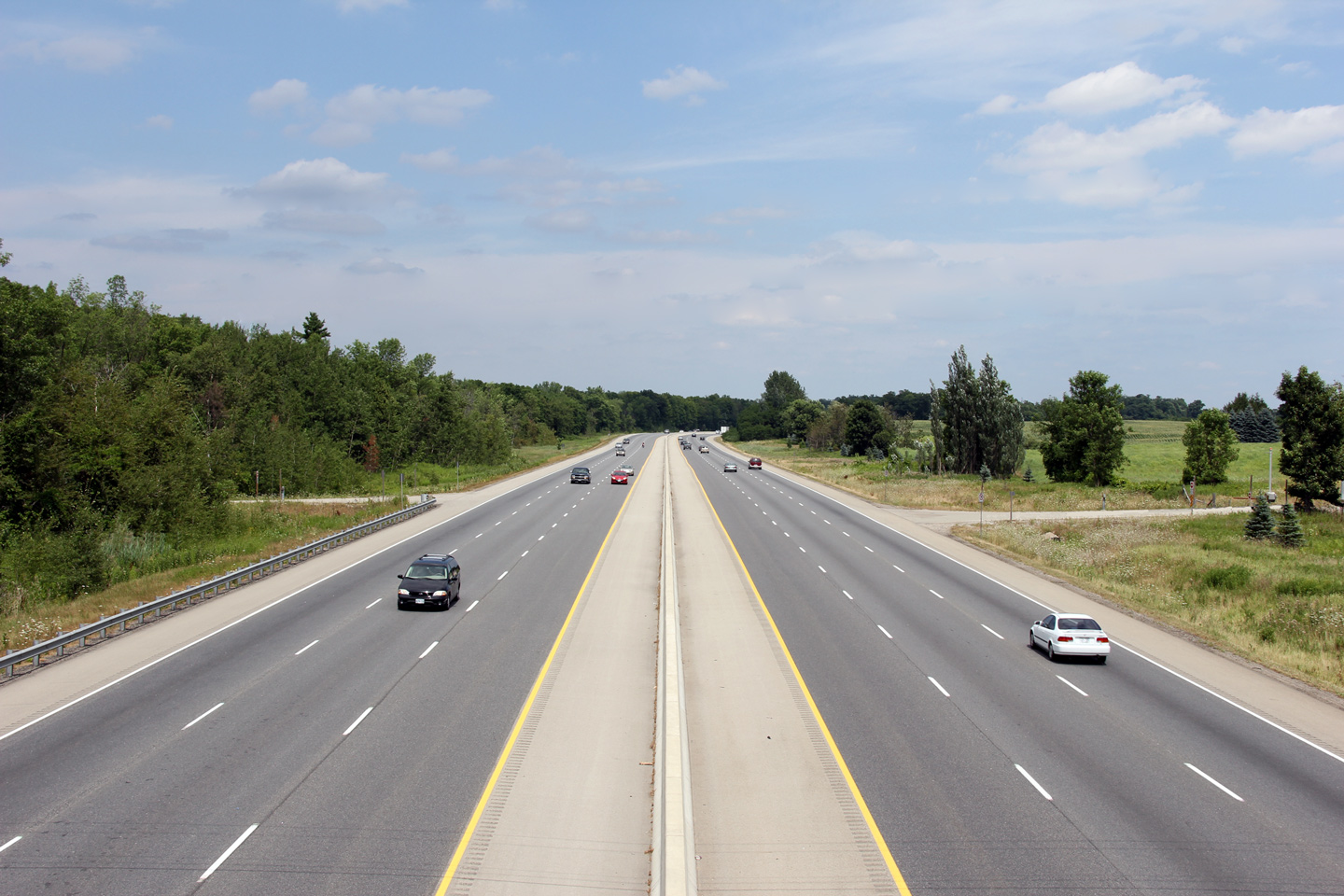
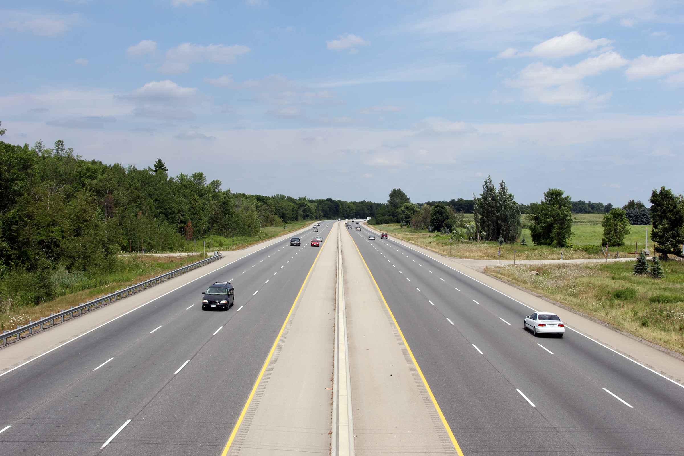
| Township of Blandford Blenheim County of Oxford |
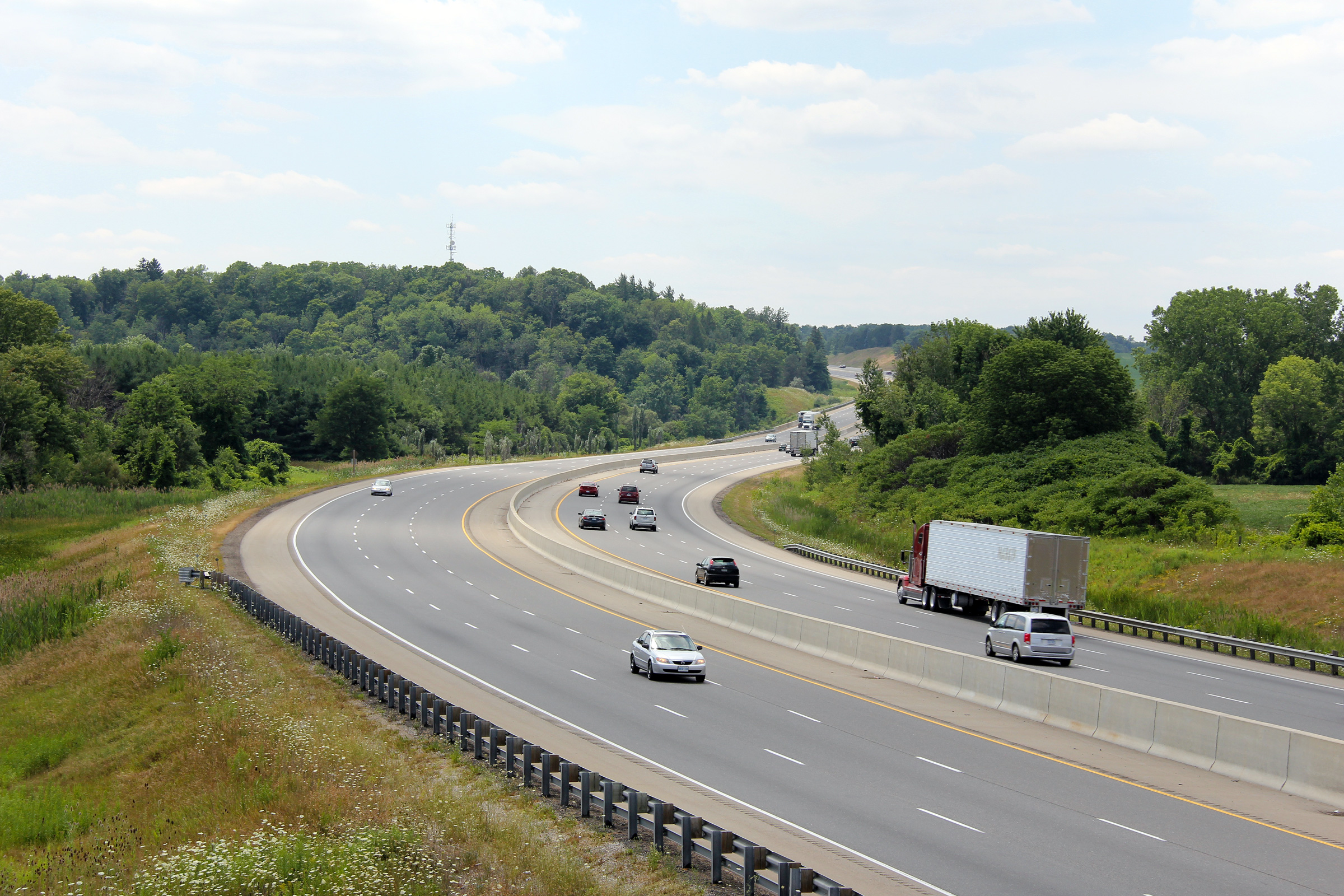
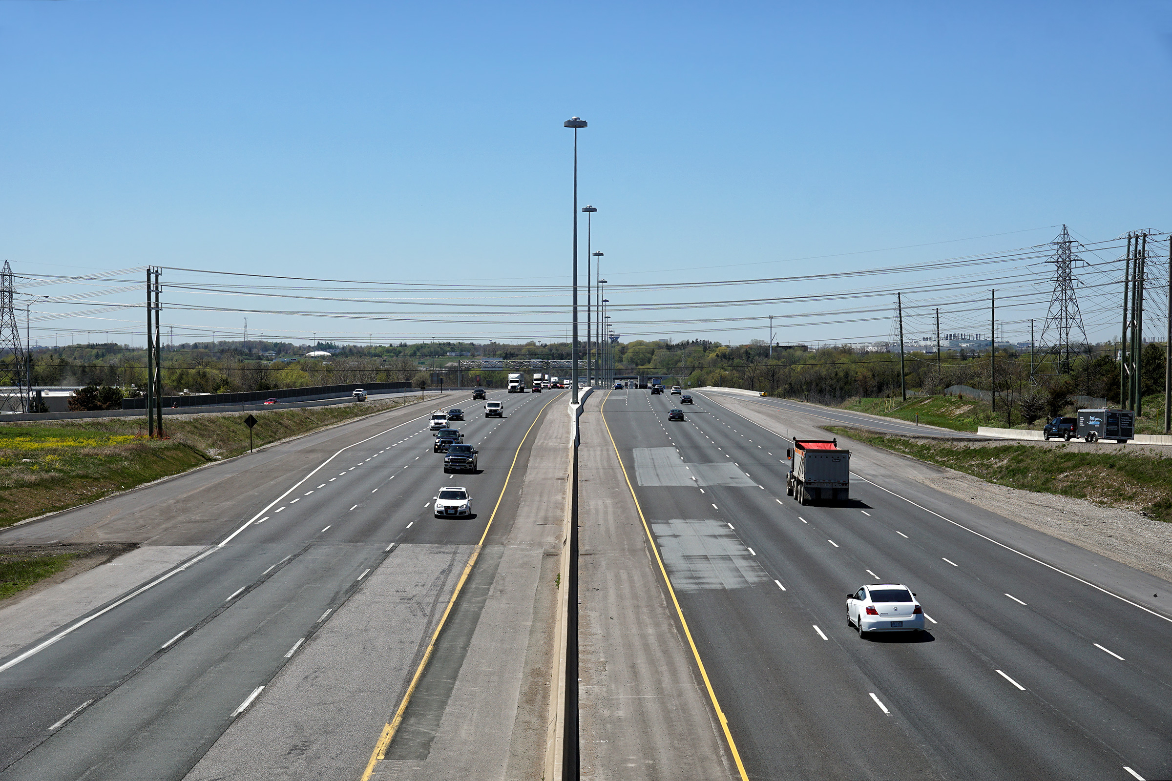
Looking east from Blandford Line towards
Cambridge. In the upper photo, notice how quickly traffic has begun to bunch together along
the highway east of Woodstock where it formerly narrowed from six to four lanes. MTO widened this
stretch of Highway 401 to six lanes beginning in 2008 with construction
complete in 2011. Upper photo taken: September 9th, 2005. Lower photo taken: July 21st, 2012 |
 (720x480) (1440x960) (2400x1600) |
||
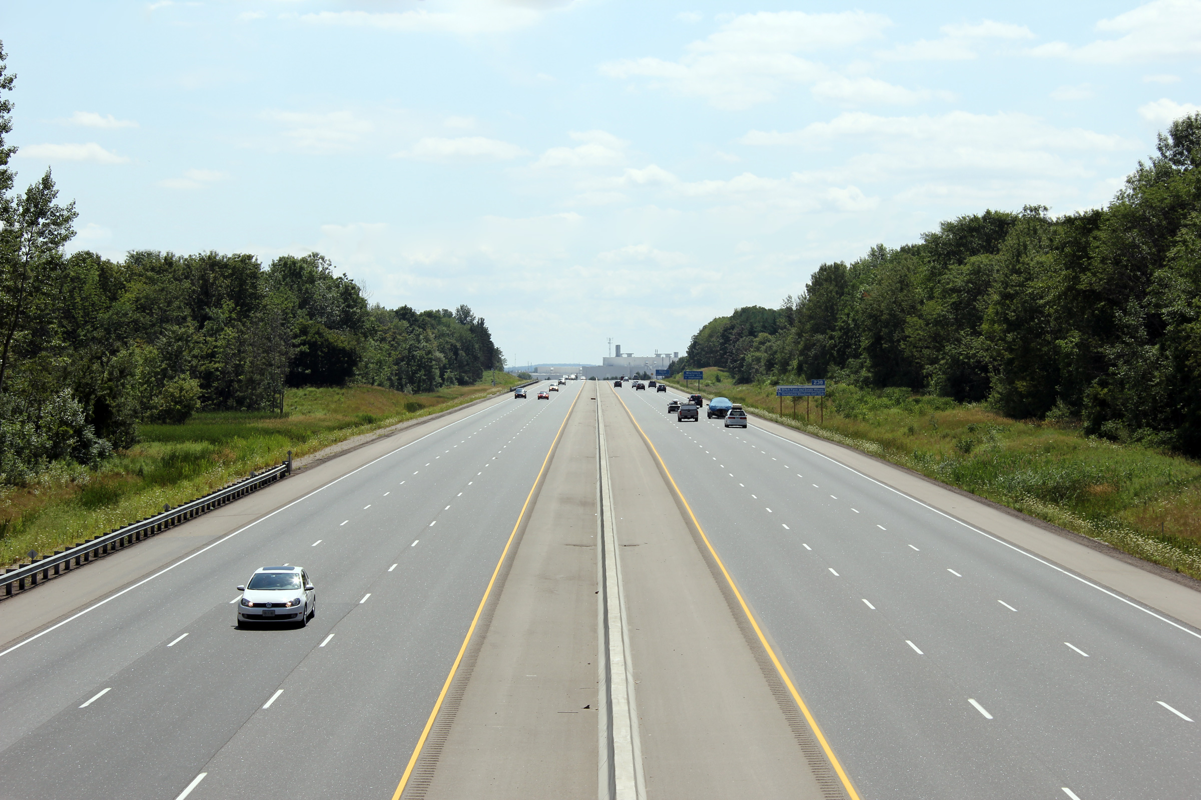
| Township of Blandford Blenheim County of Oxford |
View looking westerly from the Oxford Road 22
overpass. Upper photo taken: September 9th, 2005. Lower photo taken: July 21st, 2012. |
 (720x480) (1440x960) (2400x1600) |
||
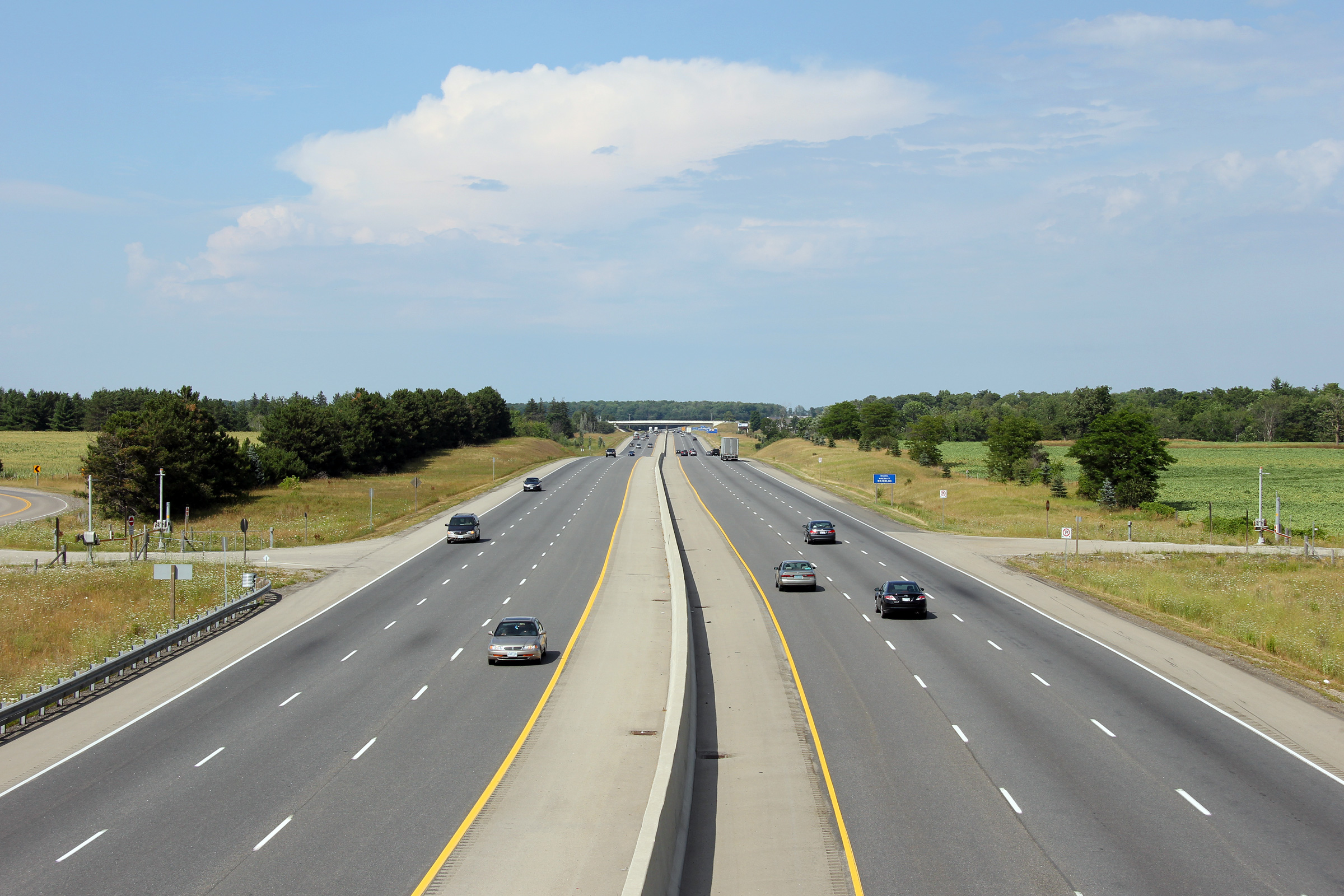
| Township of Blandford Blenheim County of Oxford |
Looking easterly around a long curve from the
Oxford Road 22 overpass. Upper photo taken: September 9th, 2005. Lower photo taken: July 21st, 2012. |
 (720x480) (1440x960) (2400x1600) |
||
| Township of Blandford Blenheim County of Oxford |
View looking westerly through the Oxford Road 22
overpass. Both the Oxford Road 22 and the Blandford Road overpasses
have distinctive piers that are in the shape of a 'W'. Photo taken: July 21st, 2012. |
 (720x480) (1440x960) (2400x1600) |
||
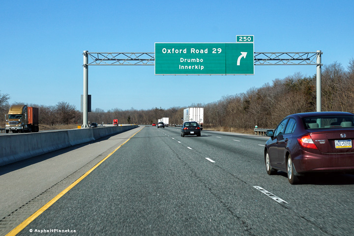
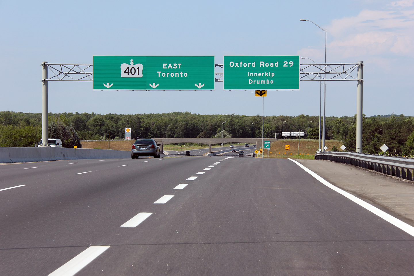
| Township of Blandford Blenheim County of Oxford |
Advanced signage for the Oxford Road 29
interchange. Photo taken: July 21st, 2012. |
 (720x480) (720x480)(1440x960) (2400x1600) |
||
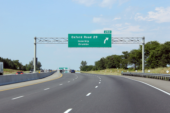
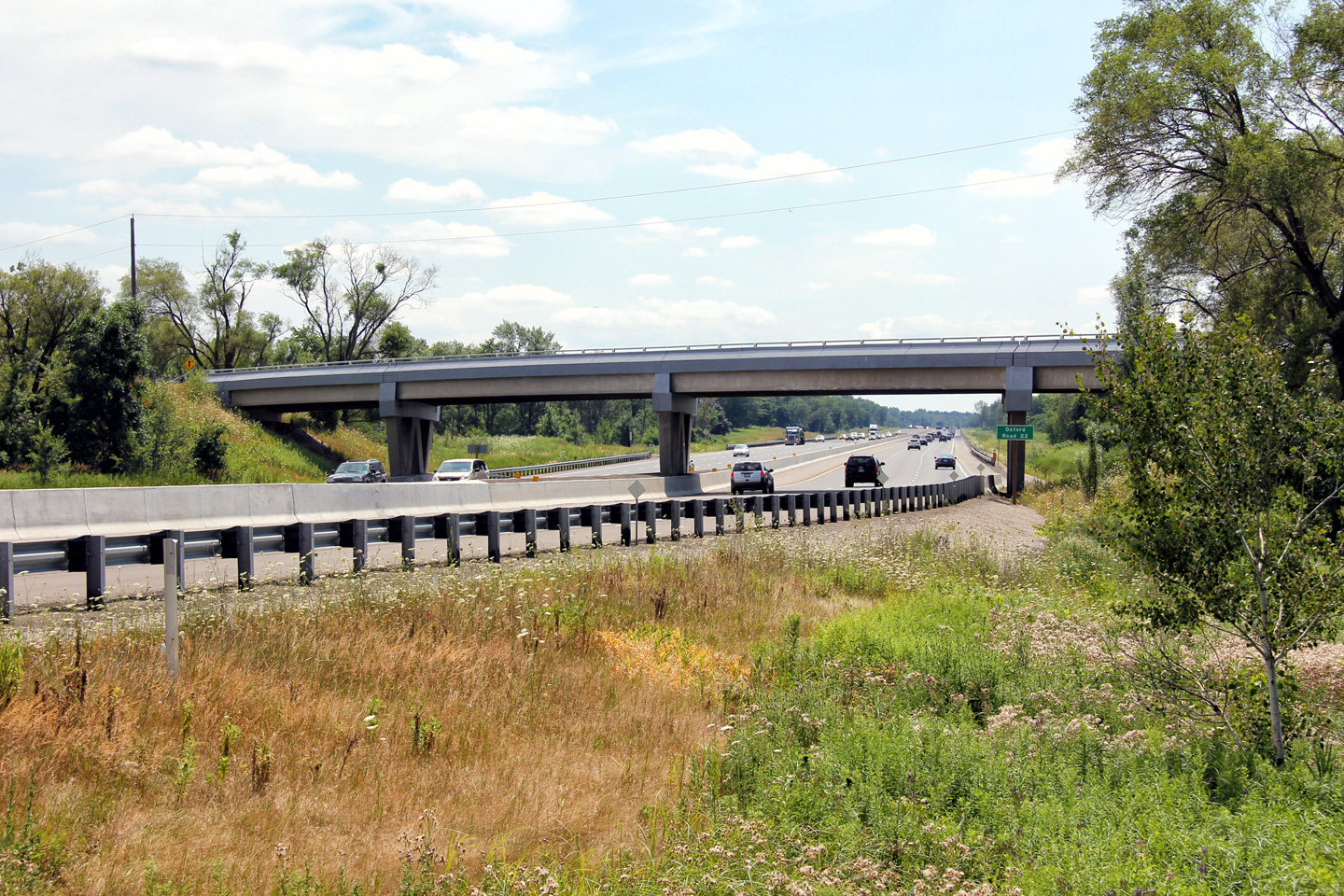
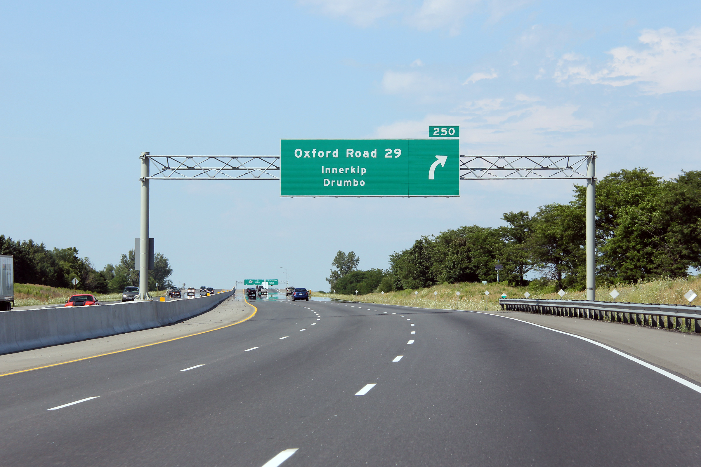
| Township of Blandford Blenheim County of Oxford |
Eastbound overhead signage at the ramp to Oxford
Road 29. The elegant two span arched rigid frame bridge that carries Oxford
Road 29 over the freeway is visible in the distance. Photo taken: July 21st, 2012. |
 (720x480) (720x480)(1440x960) (2400x1600) |
||
| Township of Blandford Blenheim County of Oxford |
View looking westerly from the Oxford Road 29
overpass. As part of the highway widening project, the loop ramp that
carried traffic from Oxford Road 29 to the eastbound 401 was removed and
replaced with a directional ramp. Upper photo taken: September 9th, 2005. Lower photo taken: July 21st, 2012. |
 (720x480) (1440x960) (2400x1600) |
||
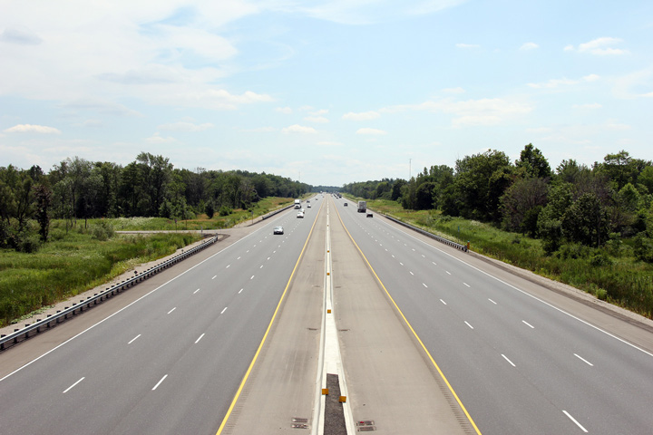
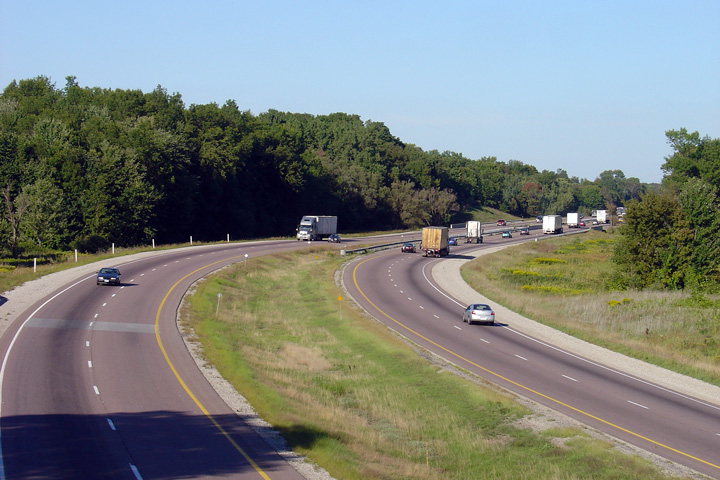
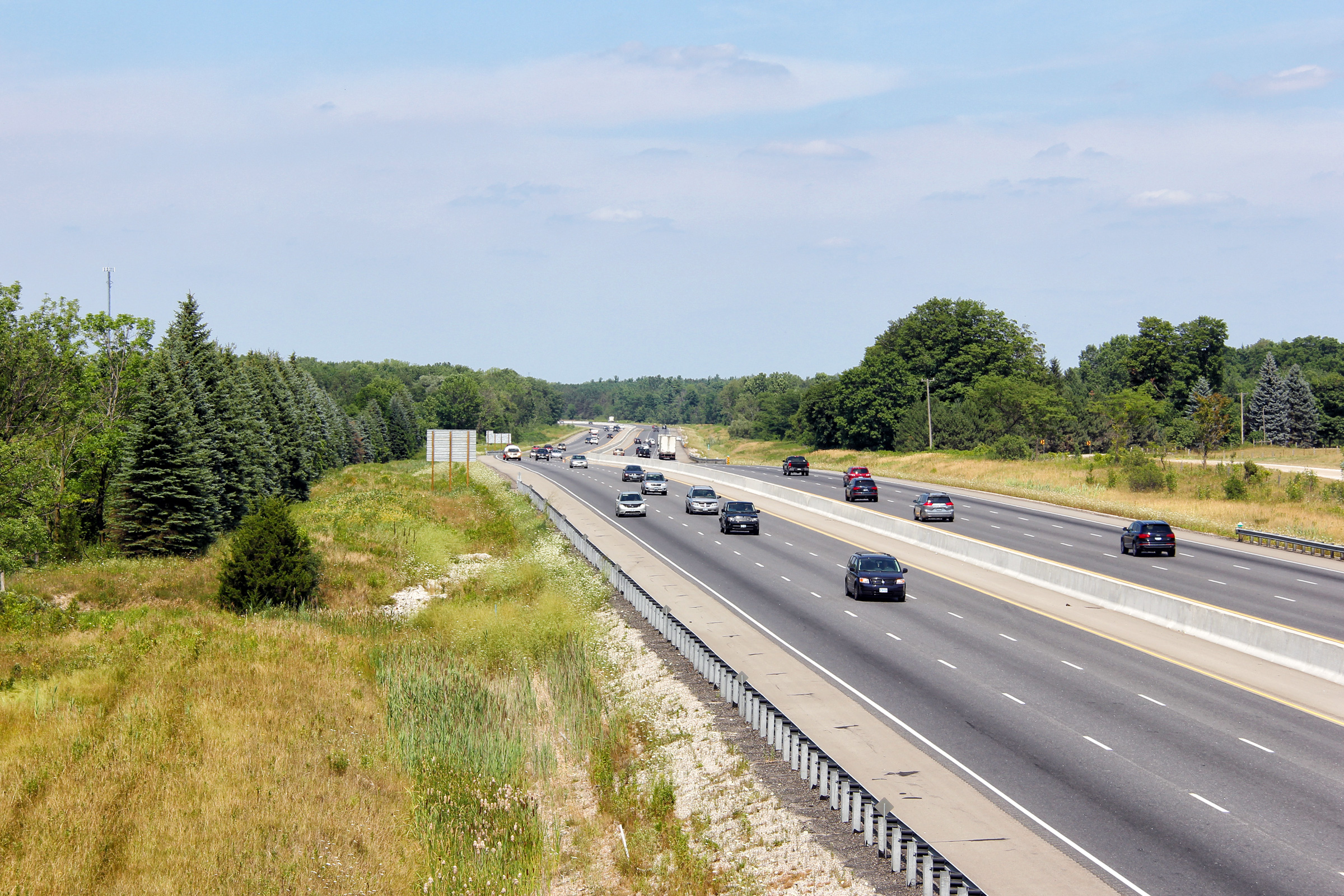
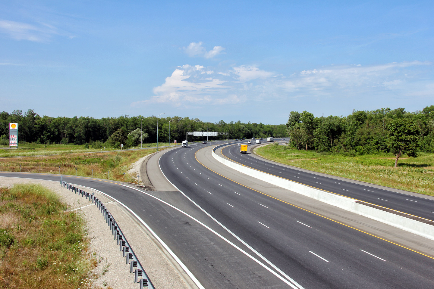
| Township of Blandford Blenheim County of Oxford |
Highway 401 looking east from the
Oxford Road 29 overpass. The eastbound carriageway was realigned
immediately to the east of the Oxford Road 29 overpass in order to broaden the pictured
curve. Broadening the eastbound curve allowed for a wider inner
westbound shoulder, which improved sightlines for drivers navigating the curve.
Several curves were broadened between Woodstock and Cambridge as part of the
2008-2011 construction project. Upper photo taken: September 9th, 2005. Lower photo taken: July 21st, 2012 |
 (720x480) (1440x960) (2400x1600) |
||
| Township of Blandford Blenheim County of Oxford |
View at the westbound off-ramp to Oxford Road
29. Photo taken: March 29th, 2016. |
 (720x480) (720x480)(1440x960) (2400x1600) |
||
| Township of Blandford Blenheim County of Oxford |
View looking westerly approaching the Oxford
Road 29 interchange. Photo taken: March 29th, 2016. |
 (720x480) (720x480)(1440x960) (2400x1600) |
||
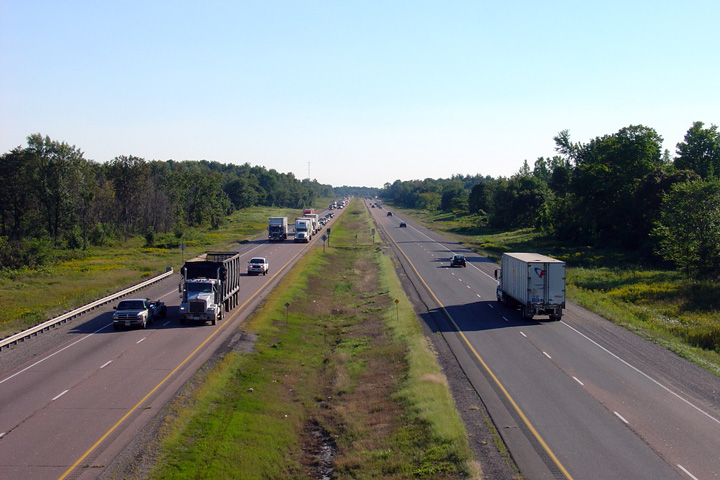
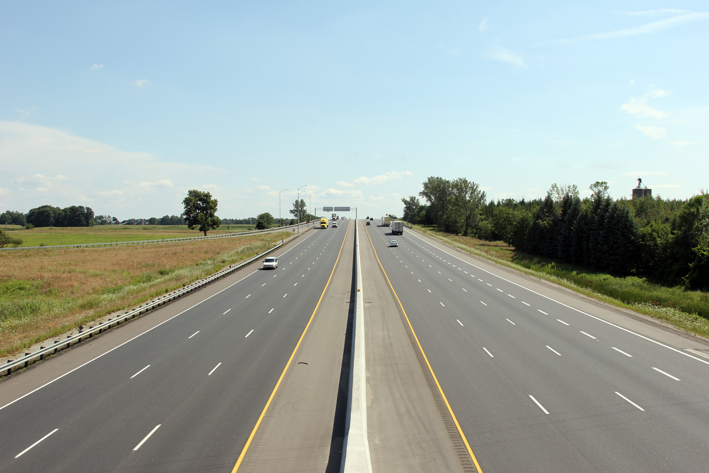
| Township of Blandford Blenheim County of Oxford |
Looking westerly from the Oxford Road 3
overpass. Just west of Oxford Road 3 marked the western boundary of contract
# 2005-3031, which saw Highway 401 widened from 4- to 6-lanes complete with
the installation of a concrete tallwall barrier in the highway median, from
Oxford Road 3 easterly to the North Dumfries / Cambridge city limit. Upper photo taken: September 9th, 2005. Lower photo taken: July 21st, 2012. |
 (720x480) (1440x960) (2400x1600) |
||
| Township of Blandford Blenheim County of Oxford |
View looking easterly from the Oxford Road 3
overpass. Photo taken: July 21st, 2012. |
 (720x480) (1440x960) (2400x1600) |
||
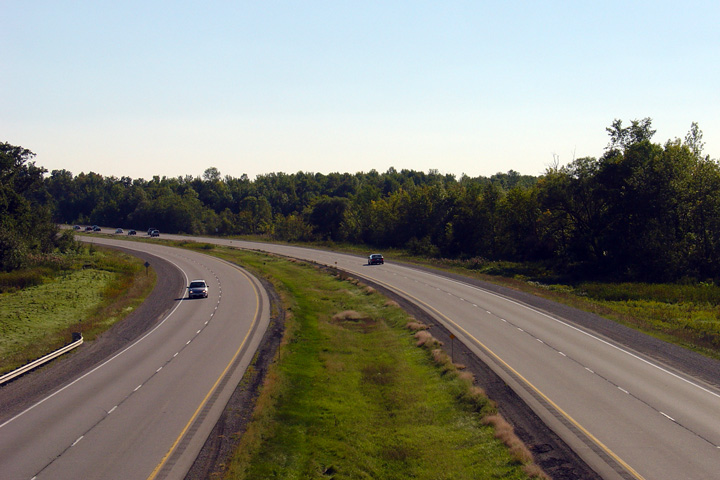
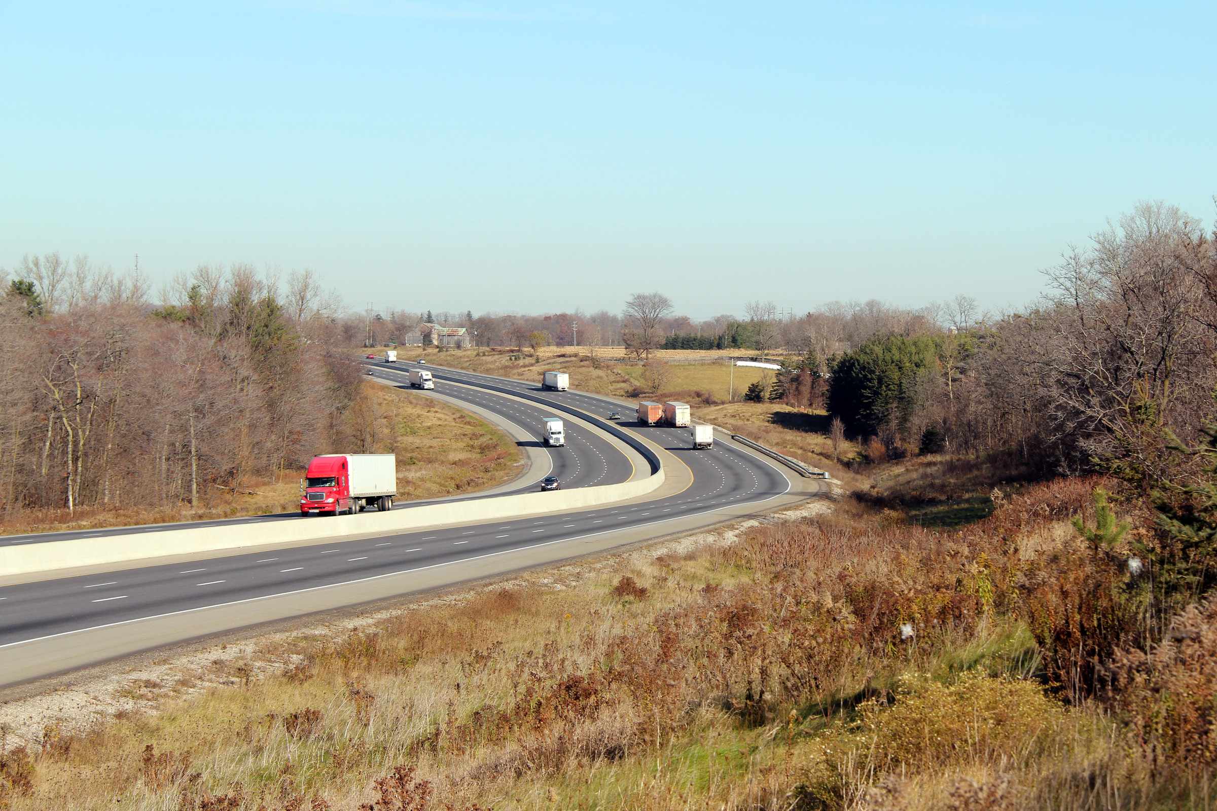
| Township of Blandford Blenheim County of Oxford |
Looking easterly along Highway 401 as the
highway traverses a narrow ravine between Oxford Road 3 and Blenheim Road. Photo taken: November 10th, 2010. |
 (720x480) (1440x960) (2400x1600) |
||
| Highway 401 is being widened through northeastern Oxford County in 2006-2007. Click here for more information and photos. | ||||
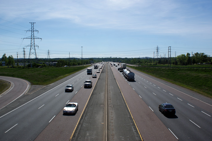
| Township of Blandford Blenheim County of Oxford |
Looking west from the Trussler Road overpass
towards the Nith River bridge on Highway 401. The Ninth River bridge
was rehabilitated and widened in the late 1990s to accommodate a six-lane
highway. Photo taken: September 9th, 2005. Lower photo taken: July 21st, 2012. |
|
||
| Township of North Dumfries Regional Municipality of Waterloo |
View looking easterly towards Cambridge from the
Trussler Road overpass. Trussler Road is located in the vicinity of
kilometre marker 261. Notice the emergency entrances to the freeway
that were constructed as part of the 2007/08 reconstruction. Upper photo taken: September 9th, 2005. Lower photo taken: July 21st, 2012. |
 |
||
| Township of North Dumfries Regional Municipality of Waterloo |
Views looking westerly towards the Trussler Road
overpass from the Northumberland Road overpass. Upper photo taken: September 9th, 2005. Lower photo taken: July 21st, 2012. |
 |
||
| Township of North Dumfries Regional Municipality of Waterloo |
Highway 401 looking east from the Northumberland
Road overpass. Northumberland Road is located roughly at kilometre marker
262. The eastern limits of Contract #2005-3031 were located just
beyond the pictured curve. Photo taken: September 9th, 2005. Lower photo taken: July 21st, 2012. |
 |
||
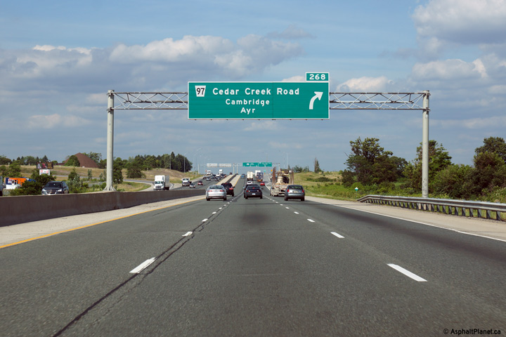
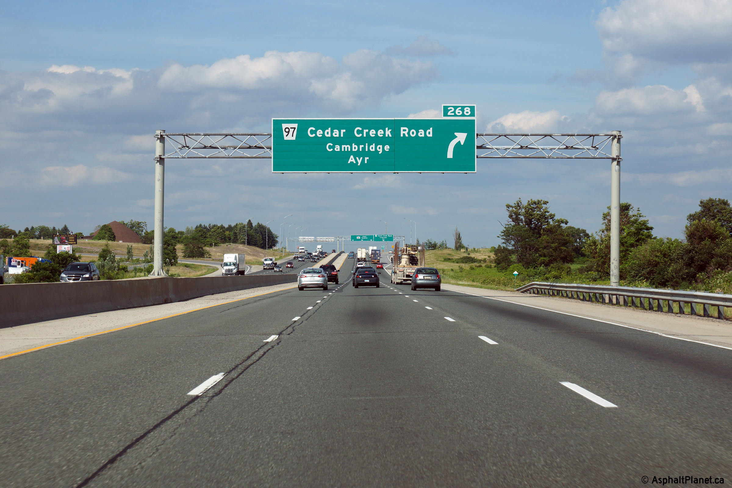
| Township of North Dumfries Regional Municipality of Waterloo |
Eastbound advanced signage for the Cedar
Creek Drive interchange. Photo taken: July 25th, 2014. |
 (720x480) (720x480)(1440x960) (2400x1600) |
||
| Township of North Dumfries Regional Municipality of Waterloo |
Signage at the eastbound off-ramp to Cedar Creek
Drive. Photo taken: July 25th, 2014. |
 (720x480) (720x480)(1440x960) (2400x1600) |
||
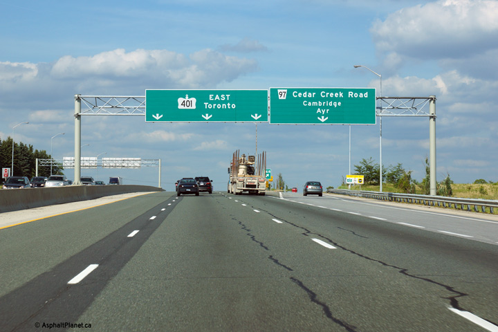
| Township of North Dumfries Regional Municipality of Waterloo |
Highway 401 looking west from the Cedar Creek
Drive (Waterloo Road 97) overpass. As part of the 401 widening project
that was completed in 2004, this interchange underwent a major
reconfiguration. Photo taken: September 9th, 2005. |
|
||
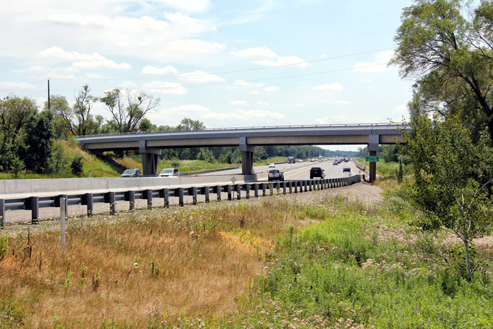
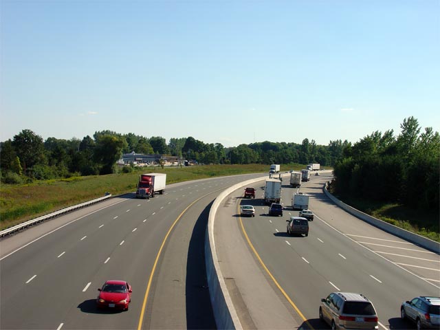
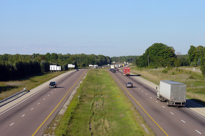
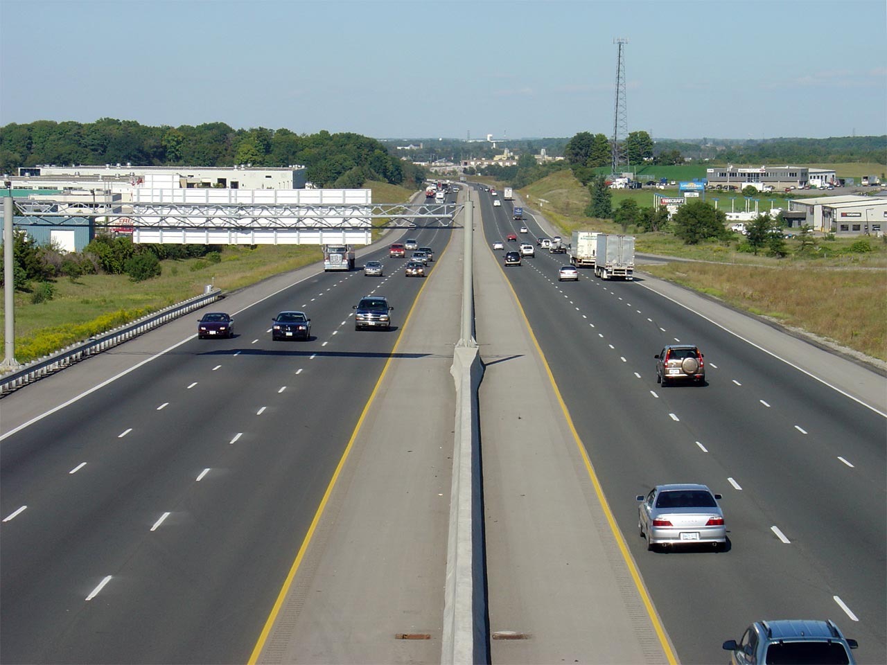
| Township of North Dumfries Regional Municipality of Waterloo |
Highway 401 looking east from the Cedar Creek
Drive overpass. This section of Highway 401 (from Cedar Creek Drive
easterly to Homer Watson Boulevard) was widened to 6-lanes in 2004. Cedar Creek
Drive is located at kilometre marker 268. Photo taken: September 9th, 2005. |
|
||
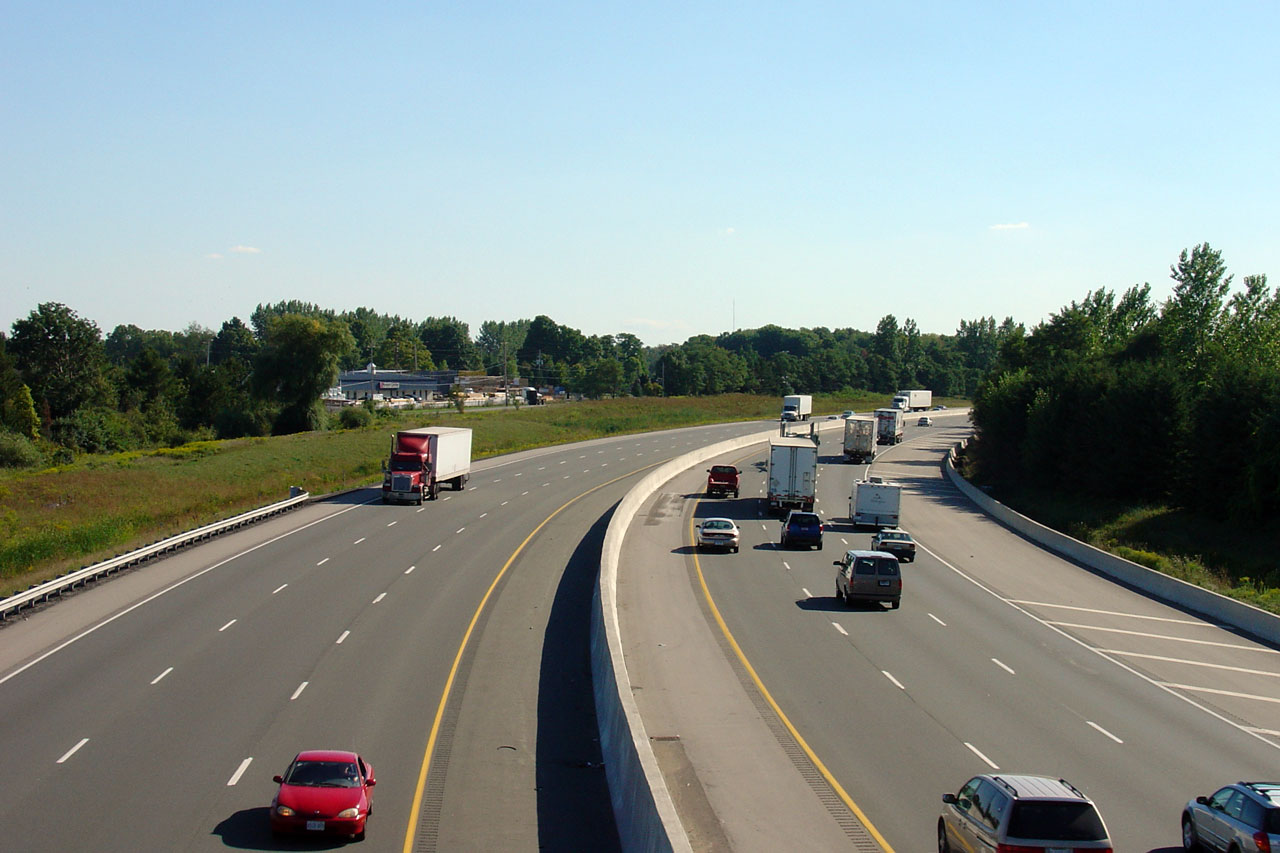
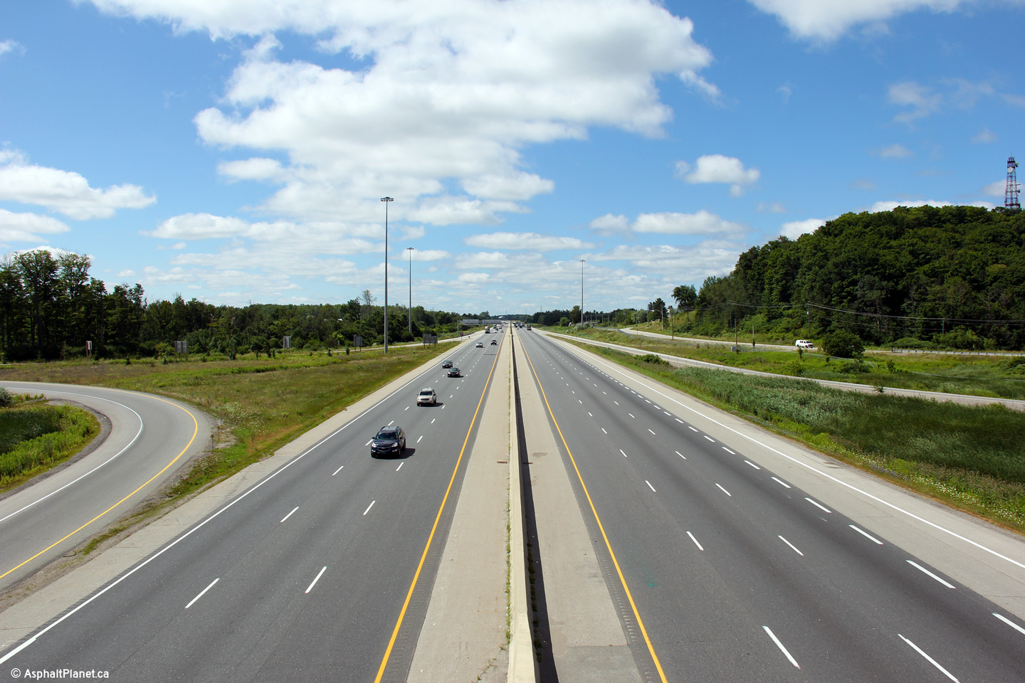
| Township of North Dumfries Regional Municipality of Waterloo |
Highway 401 looking west from the Roseville Road overpass. In 2004,
when the highway was widened, this long curve east of Roseville Road was
notably broadened. Notice the old graded alignment to the left of the
current highway. Because of the terrain, an extra-wide right shoulder
was also constructed in the westbound carriageway to improve sightlines. Photo taken: September 9th, 2005. |
 |
||
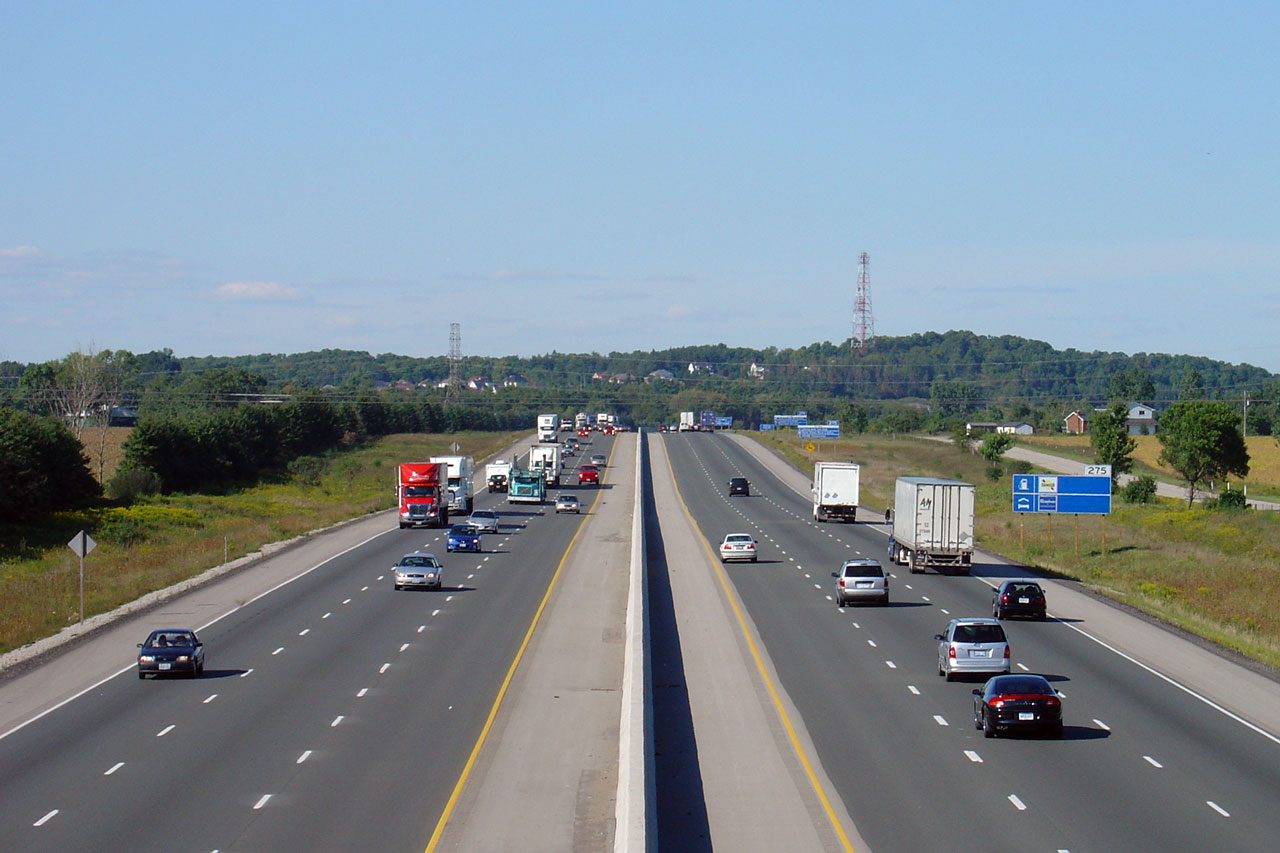
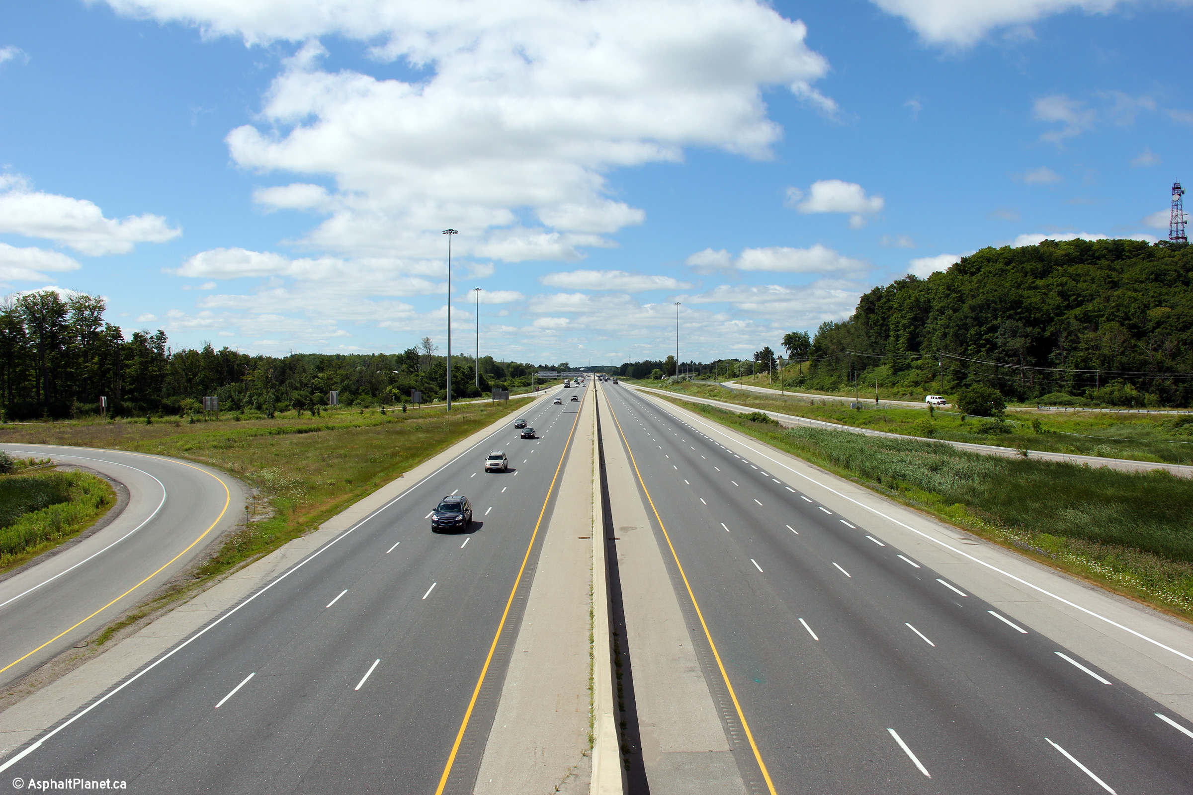
| Township of North Dumfries Regional Municipality of Waterloo |
Highway 401 looking east from the Roseville Road overpass. Roseville
Road is located roughly at kilometre marker 271. Photo taken: September 9th, 2005. |
 |
||
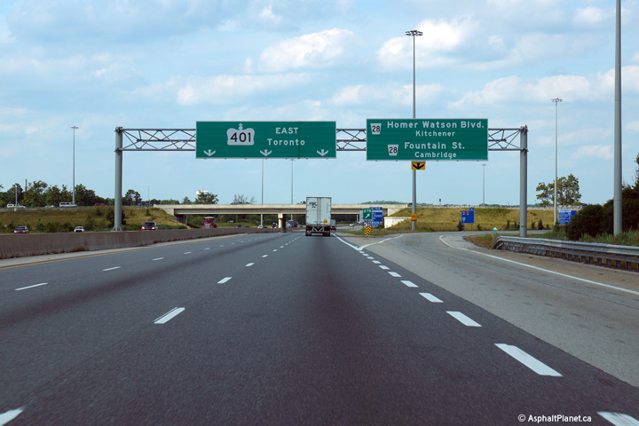
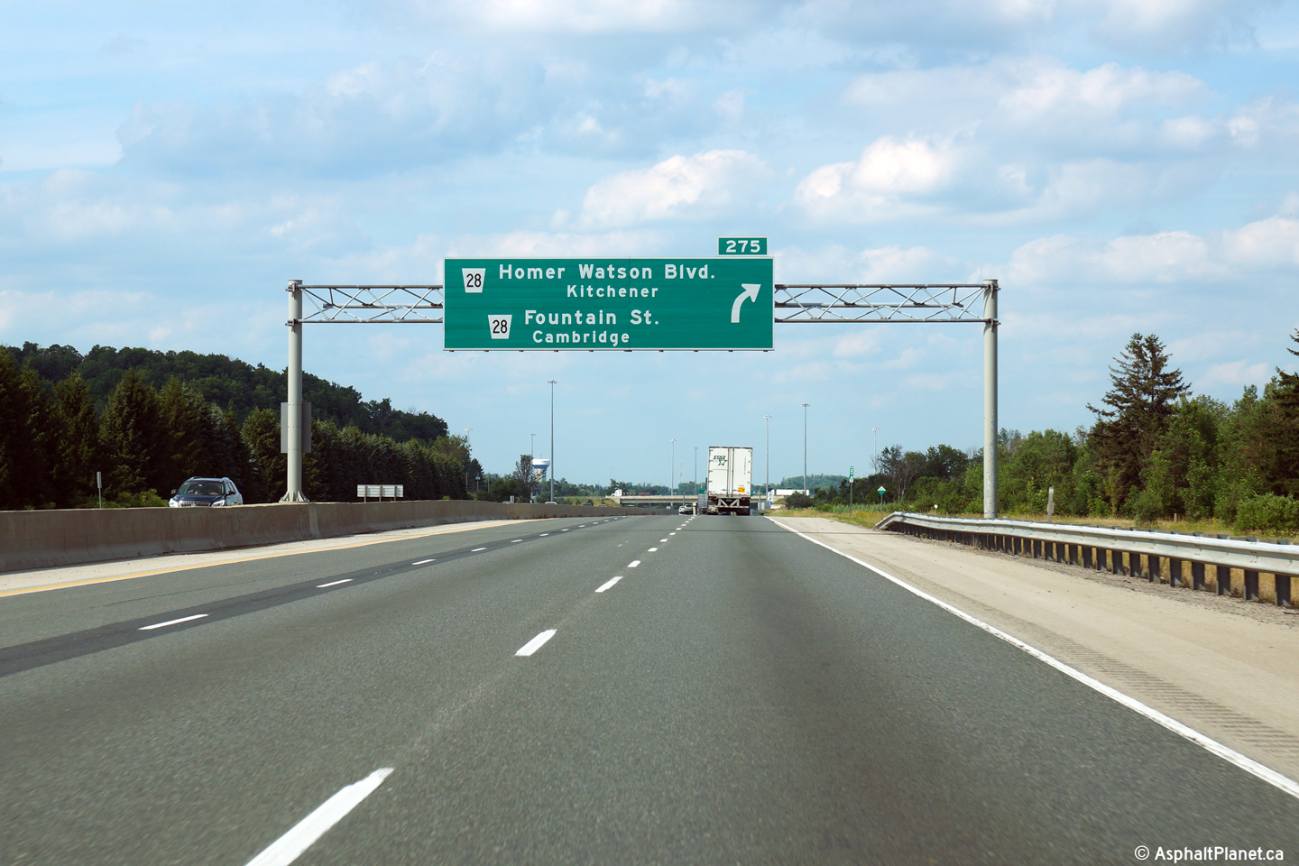
| Cambridge - Kitchener Boundary Regional Municipality of Waterloo |
Advanced signage for the Homer Watson Boulevard interchange. Photo taken: July 25th, 2014. |
 (720x480) (720x480)(1440x960) (2400x1600) |
||
| Cambridge - Kitchener Boundary Regional Municipality of Waterloo |
View looking easterly as the ramp to Homer Watson and Fountain Boulevard's
departs the freeway. Travelers along Highway 401 would be hard pressed
to forget which road they were traveling on in Southwestern Region with the
amount of pull-through reassurance signage that has appeared along the
freeway of late. Photo taken: July 25th, 2014. |
 (720x480) (720x480)(1440x960) (2400x1600) |
||
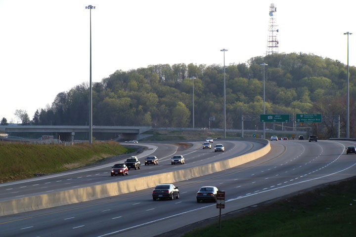
| Cambridge - Kitchener Boundary Regional Municipality of Waterloo |
View looking west from the Homer Watson Boulevard overpass. The Homer
Watson Boulevard interchange was extensively reconfigured during the 2006/07
construction seasons. Photo taken: July 24th, 2013. |
|
||
| Cambridge - Kitchener Boundary Regional Municipality of Waterloo |
A single overhead sign at the Homer Watson interchange enhances the suburban
feel of this part of Kitchener and Cambridge. Photo taken: April 25th, 2008. |
 |
||
| Cambridge - Kitchener Boundary Regional Municipality of Waterloo |
Looking east from Homer Watson towards the new pedestrian overpass thank
links Doon Valley Drive to Morningside Drive. Photo taken: July 24th, 2013. |
|||
| Cambridge - Kitchener Boundary Regional Municipality of Waterloo |
View looking east from the Doon Valley Pedestrian overpass towards the Homer
Watson Boulevard interchange. Interestingly, high-mast lighting and
overhead signage was installed during the Homer Watson interchange
reconstruction, yet was not installed during the Townline Road interchange
project finished in 2006, a few kilometres easterly. Photo taken: April 25th, 2008. |
 |
||
| Cambridge - Kitchener Boundary Regional Municipality of Waterloo |
Highway 401 crosses the Grand River atop two high level structures just west
of Highway 8. Photo taken: April 25th, 2008. |
 |
||
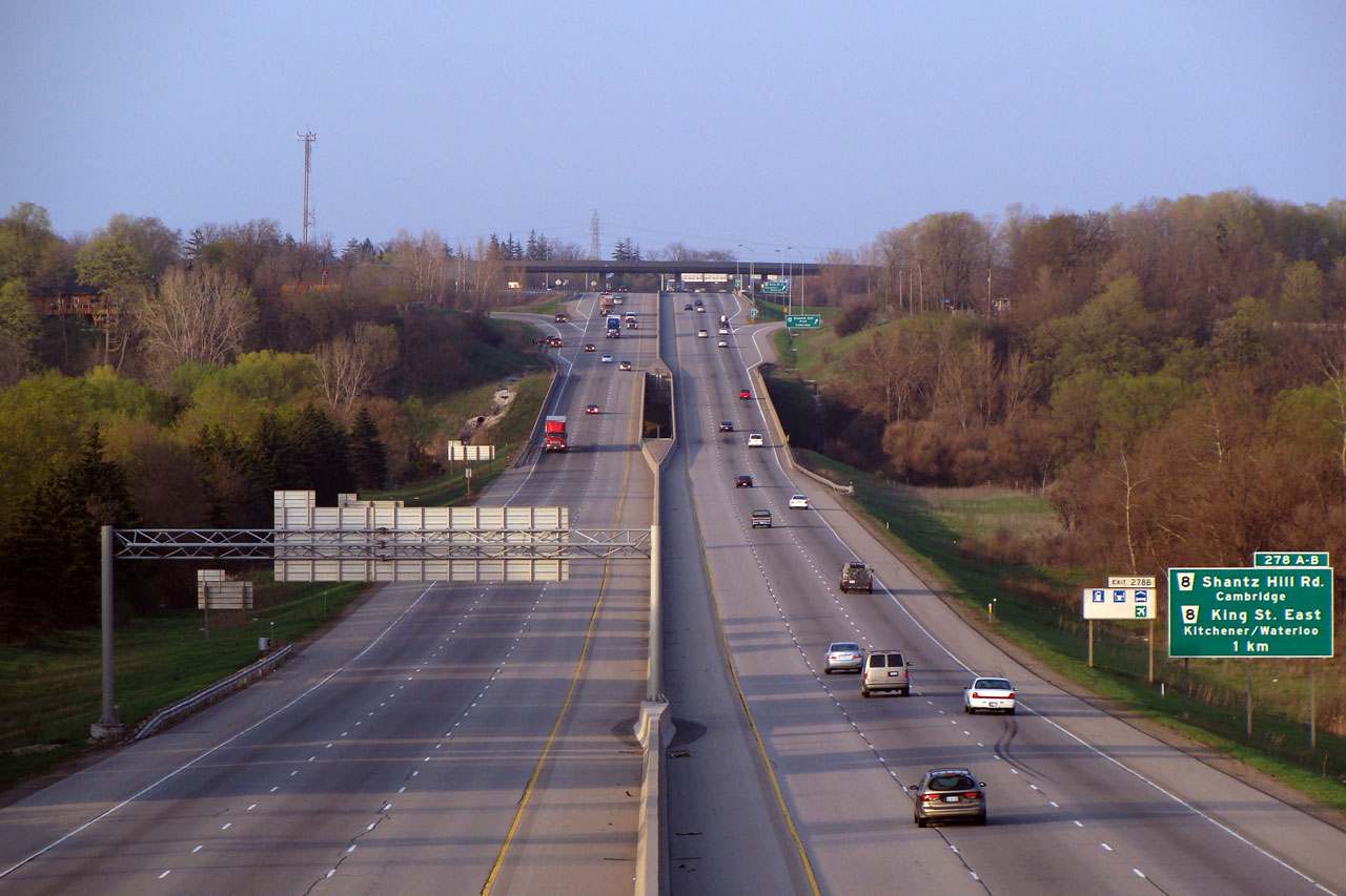
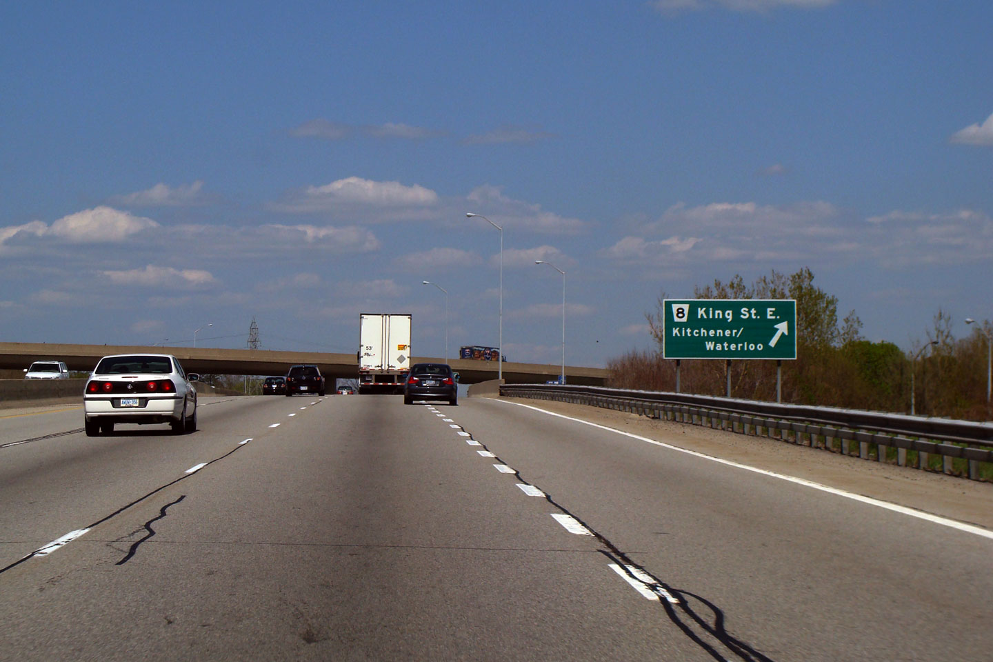
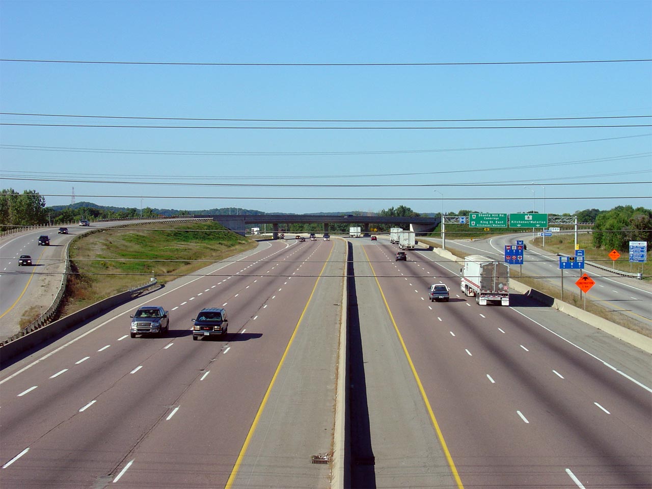
| Cambridge - Kitchener Boundary Regional Municipality of Waterloo |
View of the signage for Old Highway 8-East. Highway 8 is known as King
Street in Kitchener and through Preston in Cambridge. It is known as
Shantz Hill Road for roughly 100m east of the Highway 401 interchange. Photo taken: May 12th, 2009. |
 (720x480) (720x480)(1440x960) |
||
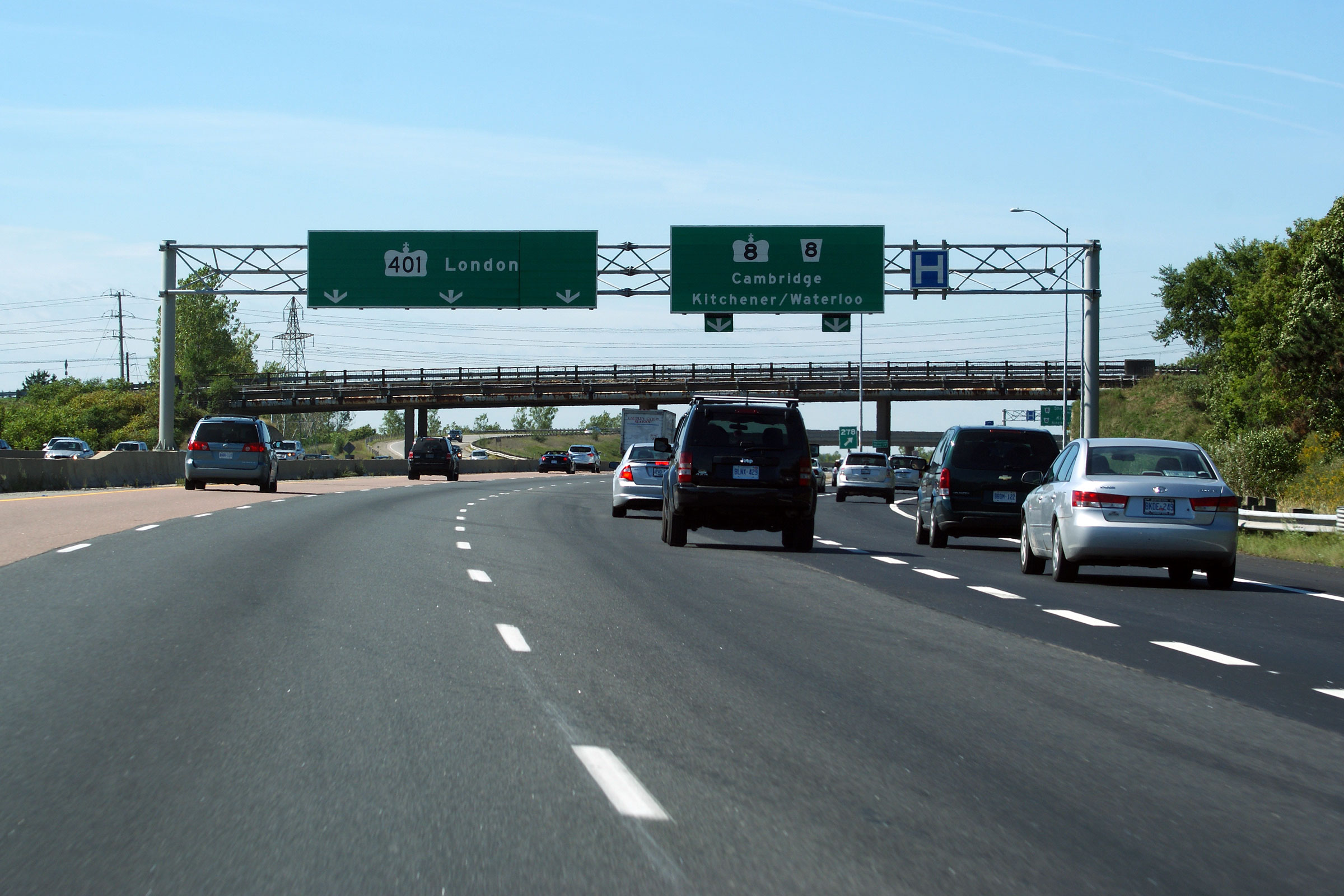
| Cambridge - Kitchener Boundary Regional Municipality of Waterloo |
The second exit for Highway 8- this one for Highway 8-West. This is a
very heavily used loop ramp -- the MTO is studying constructed a set of
direct ramps linking the Highway 8 freeway directly to and from Highway
401-West. Photo taken: May 12th, 2009. |
 (720x480) (720x480)(1440x960) |
||
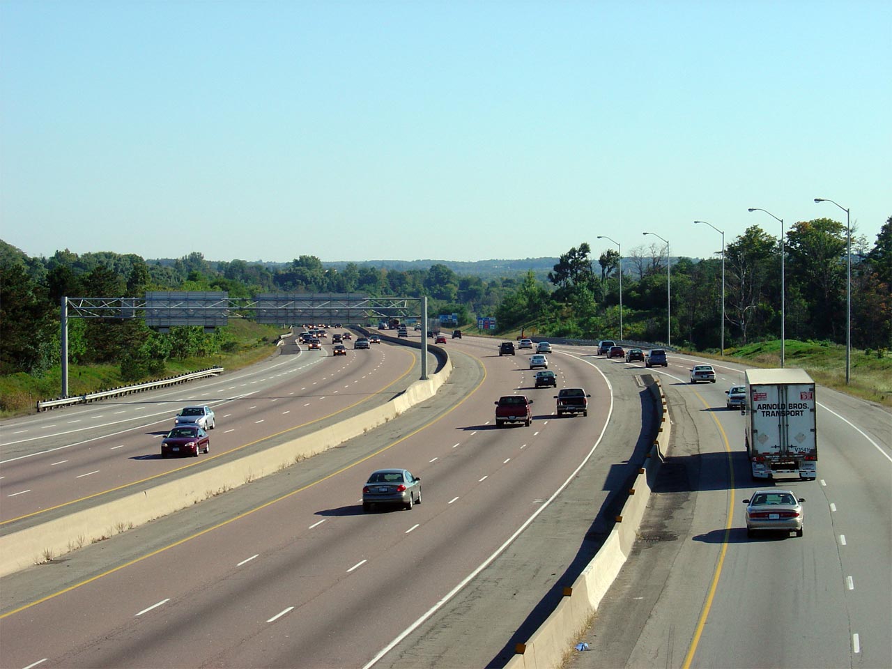
City of Cambridge Regional Municipality of Waterloo |
Highway 401 looking west towards the Highway 8 flyover from Fountain Drive. At this
interchange, both old conventional Highway 8, and the
Highway 8 Bypass
(Highway 7187) are accessible. The Bypass is currently only accessible
from the westbound lanes. Photo taken: September 18th, 2005. |
 |
||
City of Cambridge Regional Municipality of Waterloo |
Highway 401 looking east from the Fountain Road
overpass. Fountain Road is located roughly at kilometre marker 279. Photo taken: September 18th, 2005. |
|||
| Highway 8 leads east and west of Highway 401 to Hamilton and Stratford. Click here for Highway 8 images. | ||||
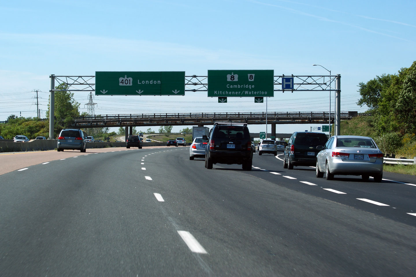
| City of Cambridge Regional Municipality of Waterloo |
Exit from the westbound 401 for Highway 8.
Both conventional Highway 8 (King Street) and
the Highway 8 Bypass (Highway 7187) are
accessible from this exit. King Street exits from the left side of
this slip ramp about 300m ahead. Both the Fountain Road overpass and
the Highway 7187 flyover are visible in the distance of this photo. Photo taken: September 10th, 2011. |
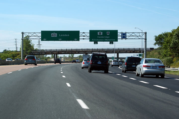 (720x480) (720x480)(1440x960) (2400x1600) |
||
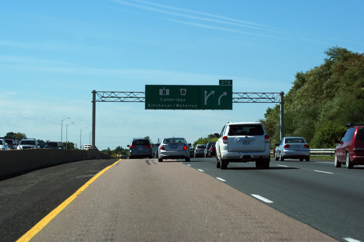
| City of Cambridge Regional Municipality of Waterloo |
Advanced signage for the upcoming Highway 8
interchange. The Highway 8 interchange
is quite busy as Highway 8 forms the major
route from Highway 401 into Kitchener/Waterloo. Kitchener/Waterloo has a
combined population of 303,000 residents. Photo taken: September 10th, 2011. |
 (720x480) (720x480)(1440x960) (2400x1600) |
||
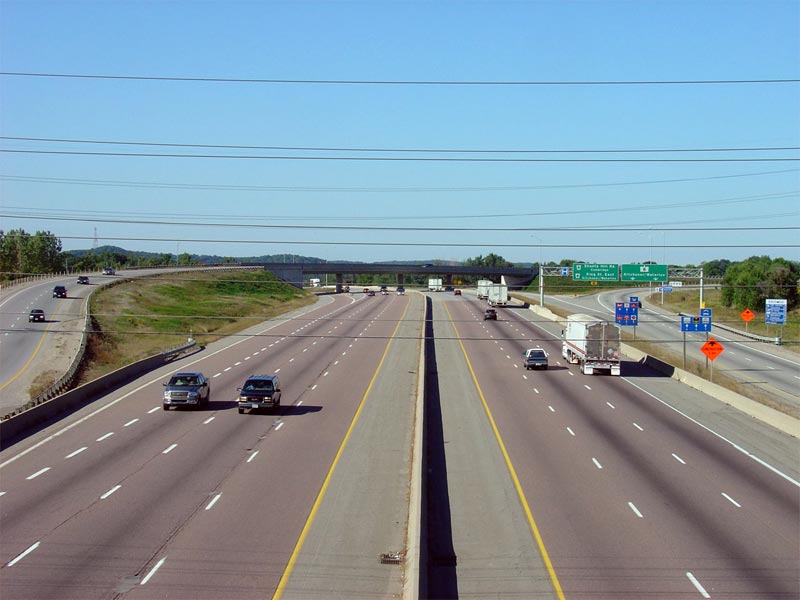
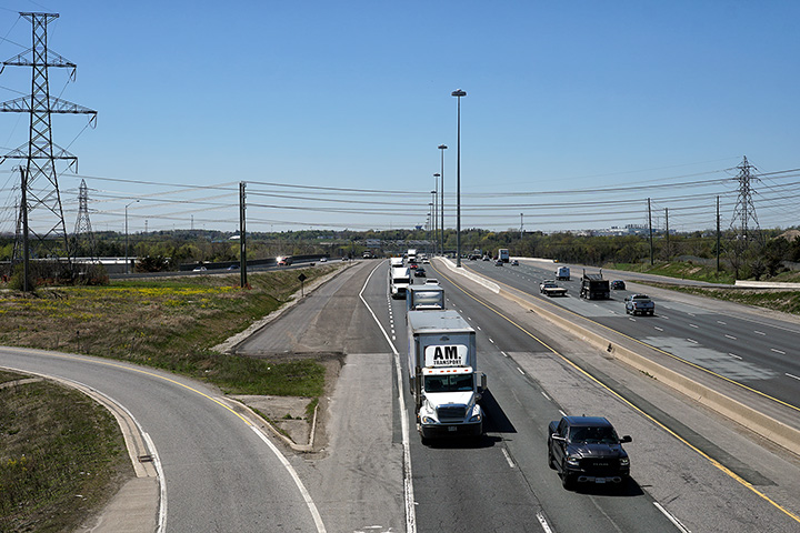
| City of Cambridge Regional Municipality of Waterloo |
Looking westerly along Highway 401 in Cambridge from Speedsville Road. Photo taken: May 29th, 2010. |
 (720x480) (1440x960) (2400x1600) |
||
| City of Cambridge Regional Municipality of Waterloo |
View looking easterly from the Speedsville Road overpass in Cambridge.
Highway 401 passes over the top of the Speed River between Speesville Road
and Highway 24. Photo taken: May 29th, 2010. |
 (720x480) (1440x960) (2400x1600) |
||
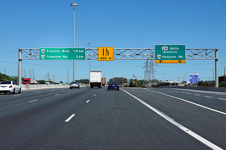
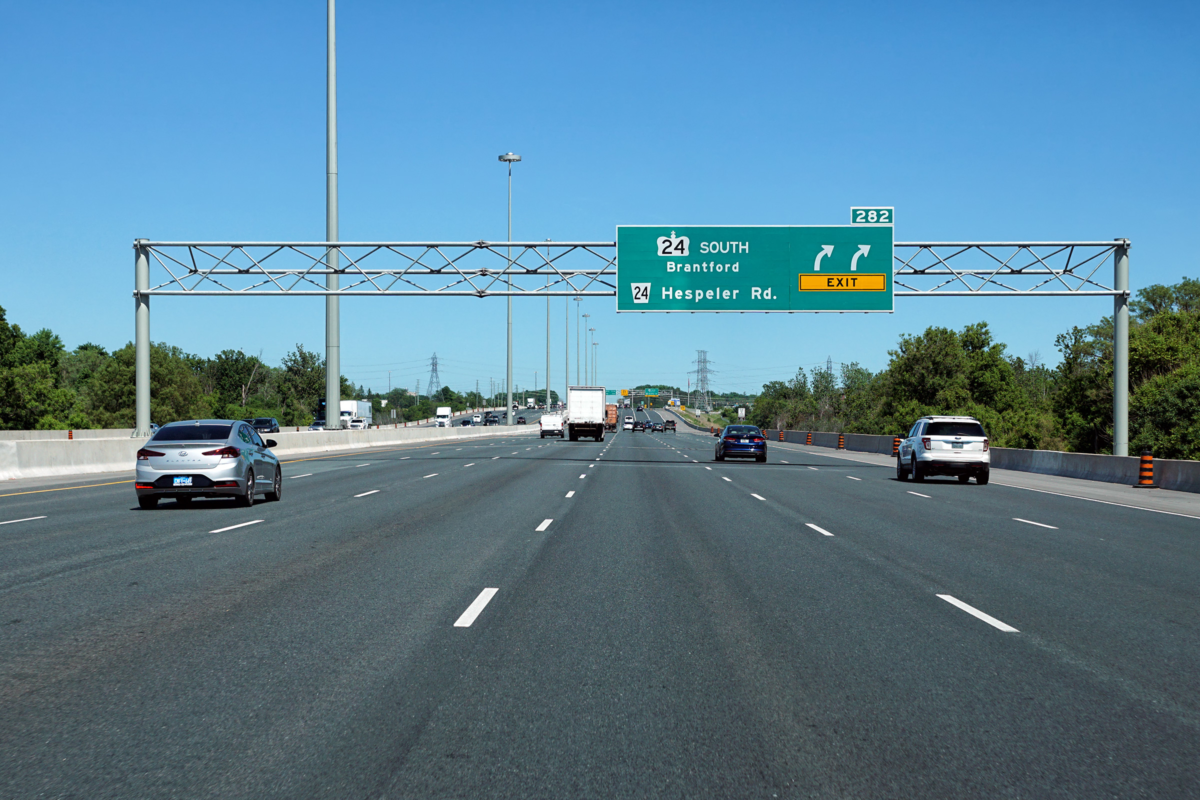
| City of Cambridge Regional Municipality of Waterloo |
Advanced signage for the Highway 24 interchange. Photo taken: June 15th, 2020. |
 (720x480) (720x480)(1440x960) (2400x1600) |
||
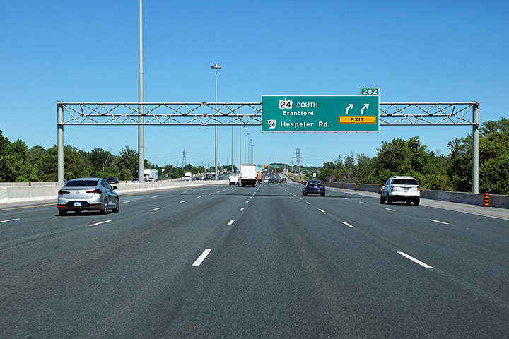
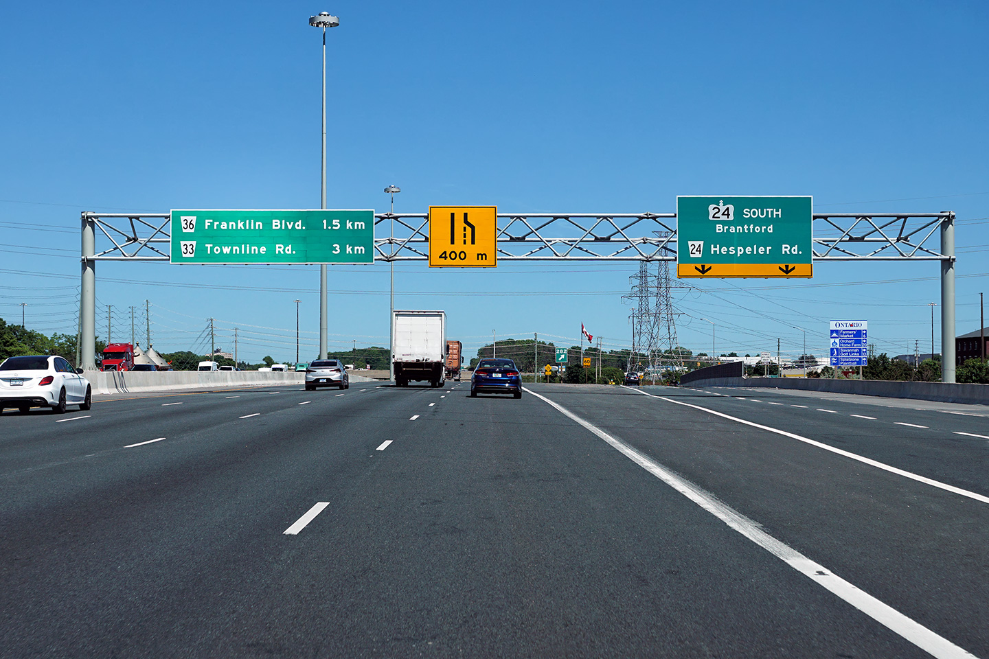
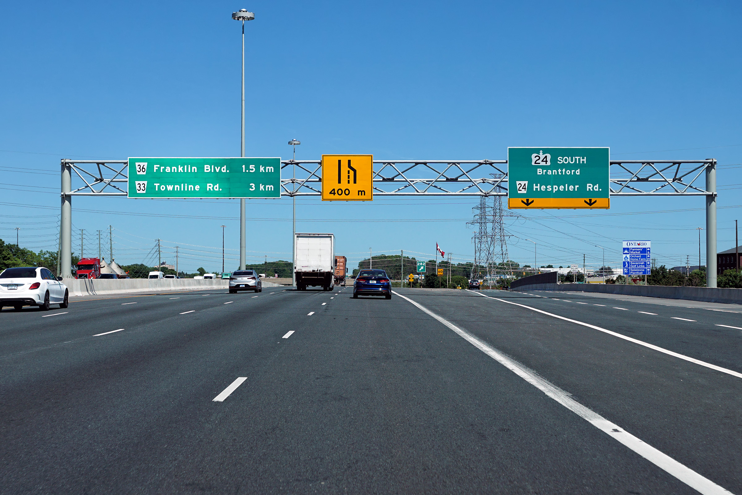
| City of Cambridge Regional Municipality of Waterloo |
Eastbound signage at the off-ramp to Highway 24. The widened highway
quickly narrows back to six lanes (three per direction) at the Highway 24
interchange. Photo taken: June 15th, 2020. |
 (720x480) (720x480)(1440x960) (2400x1600) |
||
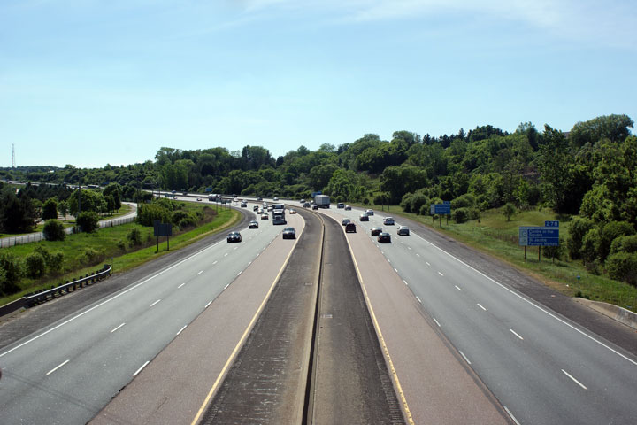
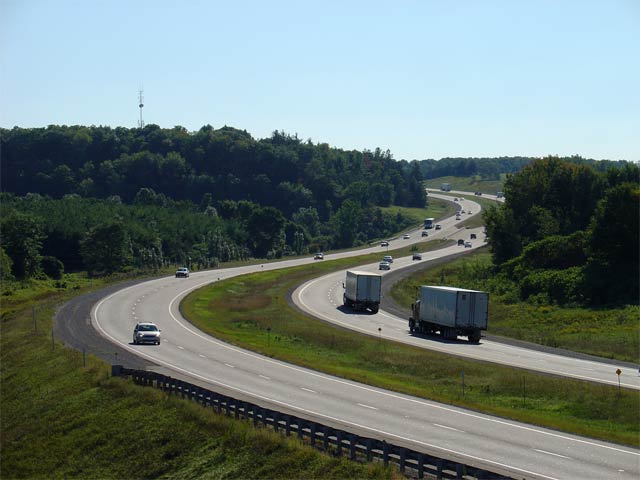
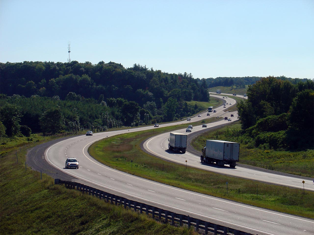
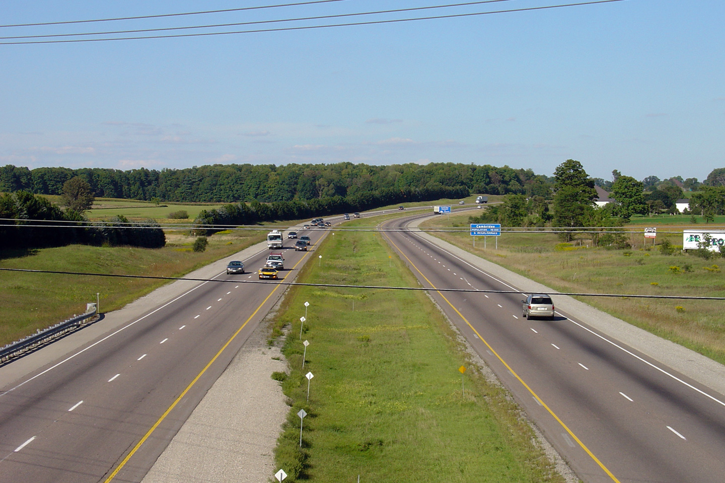
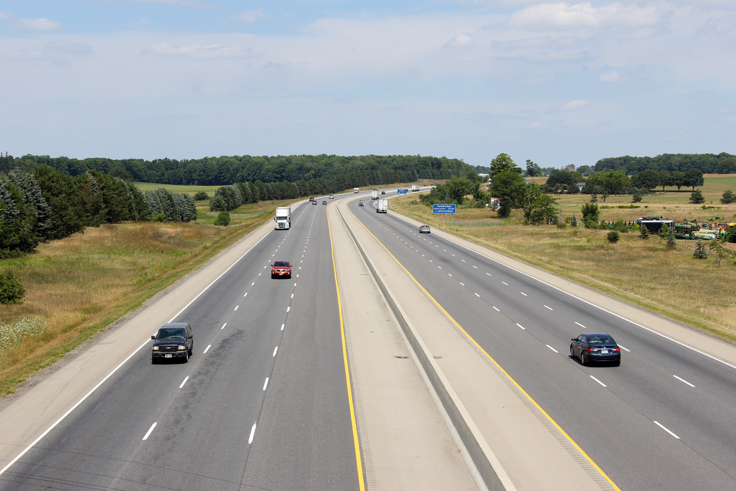
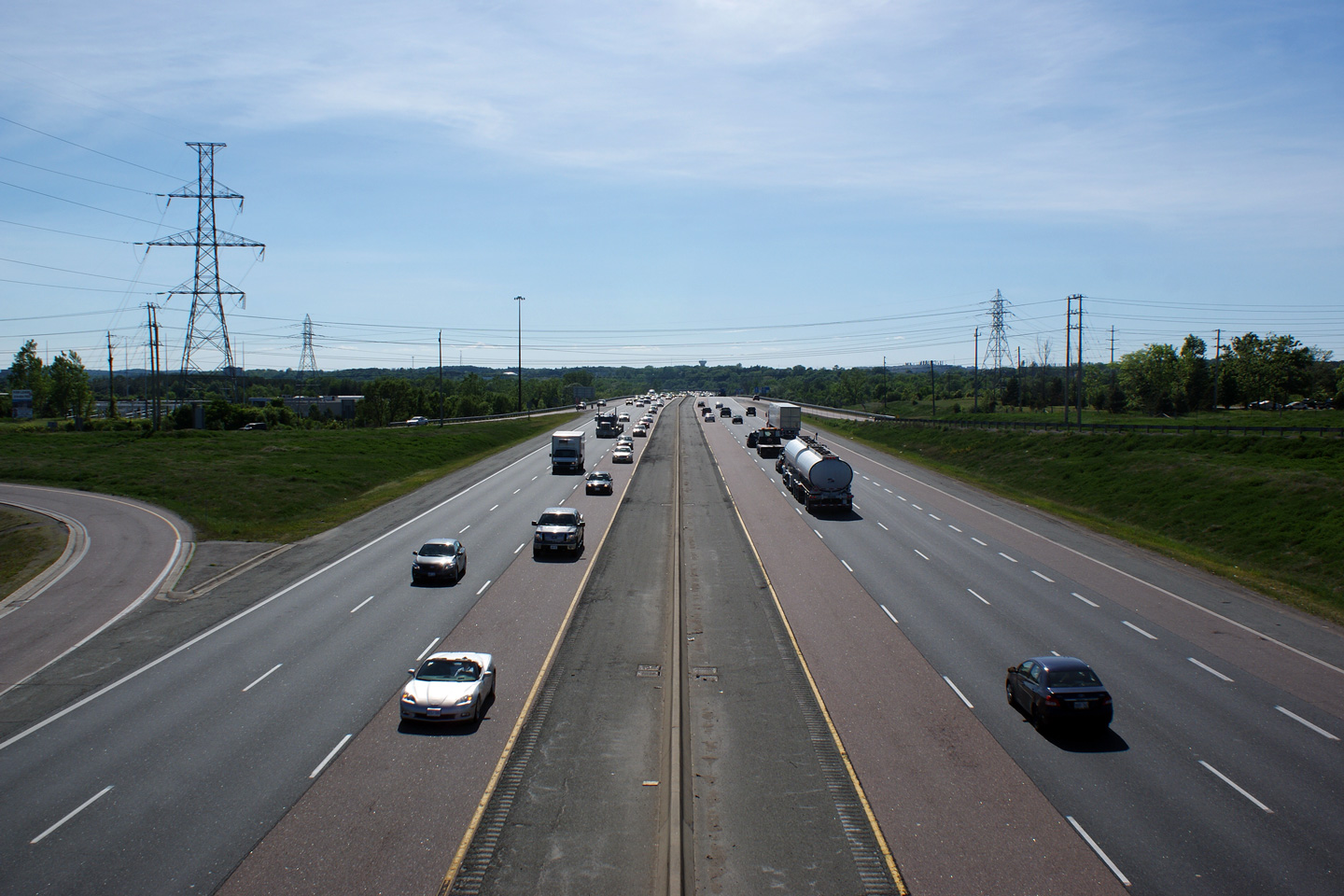
| City of Cambridge Regional Municipality of Waterloo |
A series of views looking westerly from the Highway 24
overpass in Cambridge. The upper photo shows the highway before the
first phase of widening was undertaken through Cambridge, while the lower
photos show the highway once the widening project had been completed. Click here to jump to the view looking
east from the Highway 24 overpass. Photo # 1 taken: May 29th, 2010. Photos # 2 and # 3 taken: May 21st, 2020. |
 (720x480) (1440x960) (2400x1600)  (720x480) (1440x960) (2400x1600) |
||
| Presently, Highway 24 runs south from Cambridge to Simcoe. Click here for Highway 24 images. | ||||
| Click here for Cambridge to Milton Images | ||||
<- Page 5 Images Highway 401 Images Index Page 7 Images ->
<- Highway 400 Images Back to Highway 401 Highway 402 Images ->
Copyright (c) 2004-2020, AsphaltPlanet.ca AsphaltPlanet@asphaltplanet.ca


