AsphaltPlanet.ca > OntHighways >
Highway 417 >
Images
> Page 6A
King's Highway 417 - Images
<- Page 5B Page 6A - Ottawa to Casselman Page 6B ->
Photos shown in this table are arranged from West to East:
| Proper Municipality Name | Photo Description | Photo | |
|
Photos taken from driver's perspective appear offset from centre-line Photos: |
East- |
||
| Click here for Ottawa Images. | |||
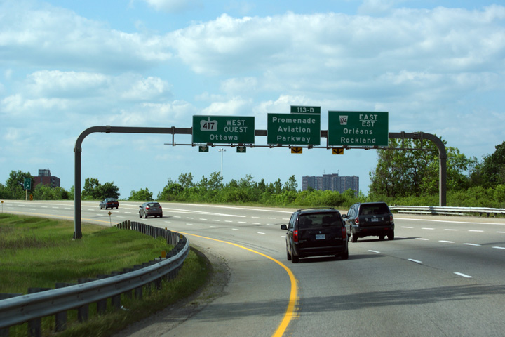
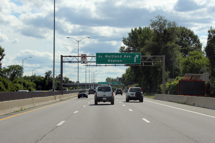
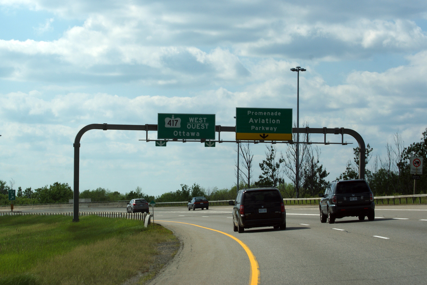
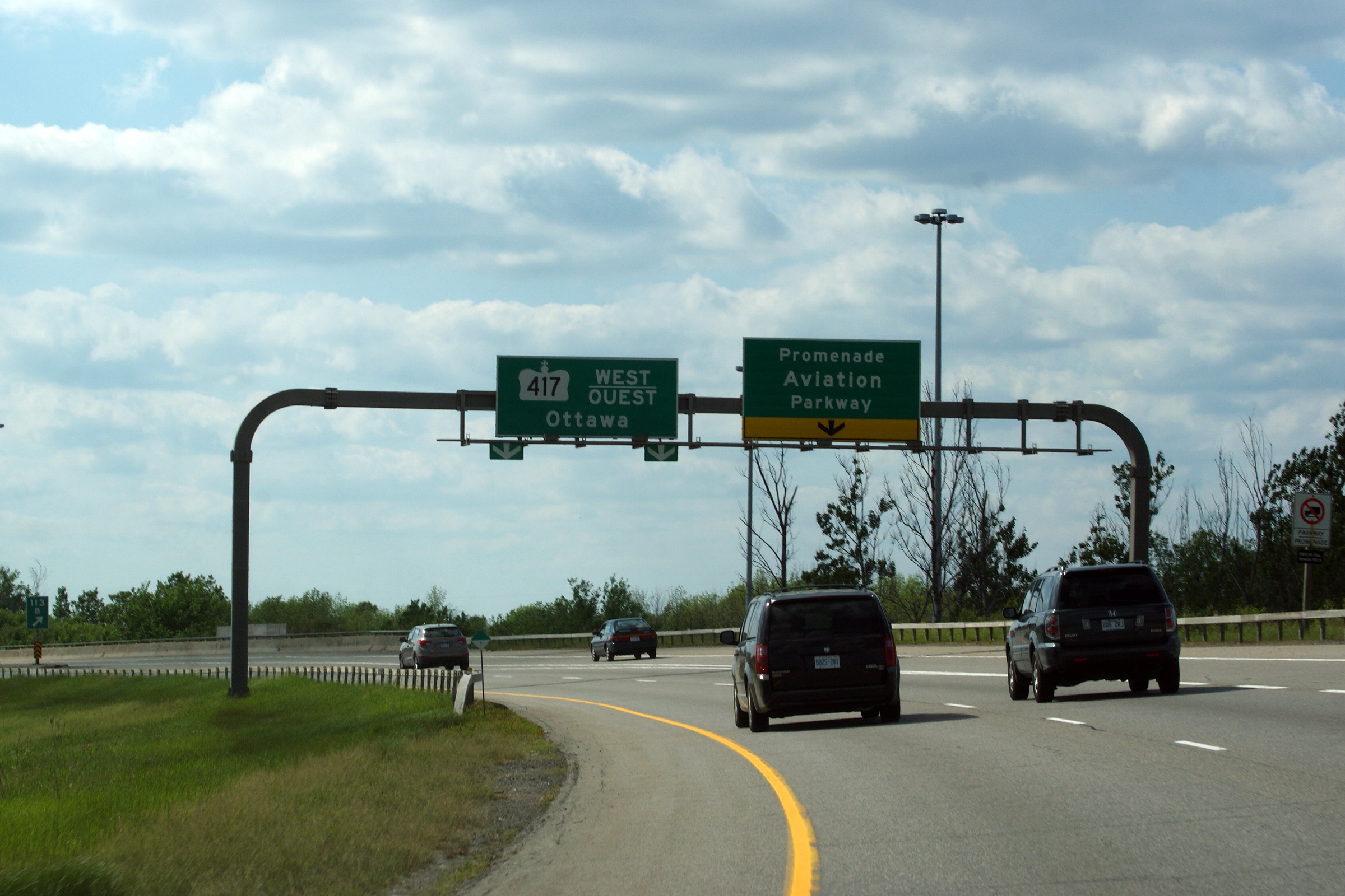
| City of Ottawa |
View driving westerly as the ramp to the Aiviation Parkway departs from
Highway 417 west. Photo taken: May 24th, 2010. |
 (720x480) (720x480)(1440x960) (2400x1600) |
|
| Highway 17 begins once again in the east end of Ottawa carrying traffic through Rockwood, and Hawkesbury to meet Highway 417 once again near the Quebec border. Click here for Highway 17 images. | |||
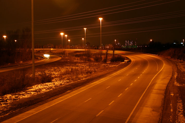
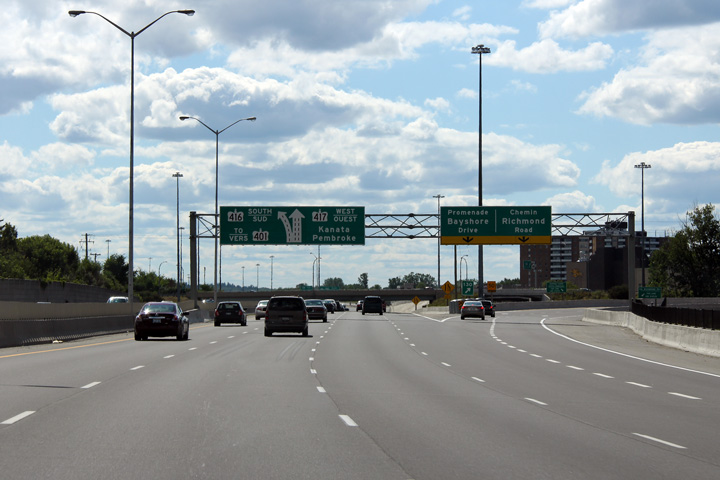
| City of Ottawa |
Highway 417 driving west through the Highway 17/417 interchange. The signs that are shown in this photo are supported by a very unique sign gantry. These 'round-tube' gantries are found only on the 417 in the east end of Ottawa.
Photo taken: May 24th, 2010. |
 (720x480) (720x480)(1440x960) (2400x1600) |
|
| City of Ottawa |
This view looks westerly from Cyrville Road, this time
east of the split. Photo taken: December 7th, 2008. |
 (720x480) (1440x960) |
|
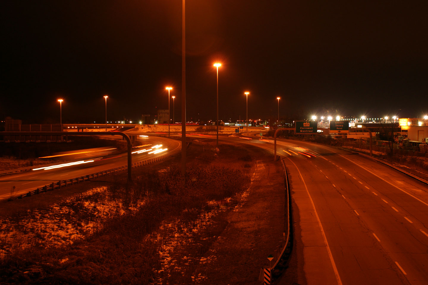
| City of Ottawa |
Easterly view from Cyrville Road East. The rounded
tube gantries carrying the Innes Road signs are found only near the 'Split'
on the 417 in Ottawa. Photo taken: December 7th, 2008. |
 (720x480) (1440x960) |
|
| City of Ottawa |
Looking westerly towards the Highway 17 (Ottawa Road 174) interchange from
the Innes Road overpass. Innes Road is located at approximately
kilometre marker 112. Photo taken: October 22nd, 2004. |
 (720x480) (1440x960) |
|
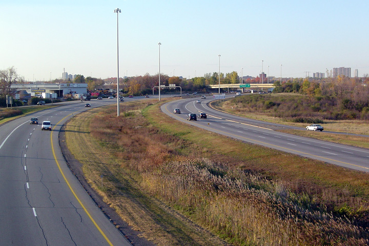
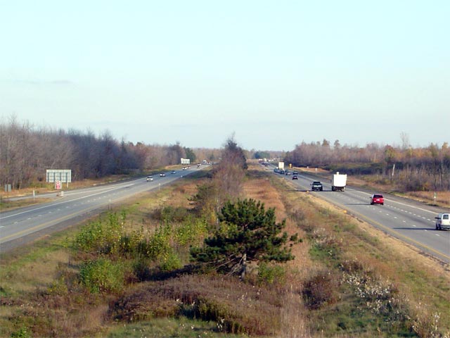
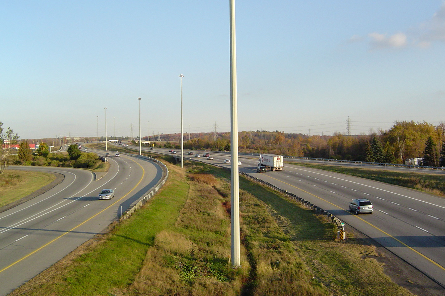
| City of Ottawa |
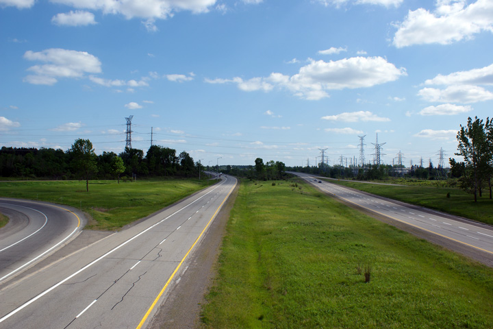
Looking easterly from the Innes Road overpass. Improvements are programmed
that will see Highway 417 widened from four to six lanes through eastern
Ottawa. The exact construction timelines have not yet been established
however. Photo taken: October 22nd, 2004. |
 (720x480) (1440x960) |
|
| City of Ottawa |
This view looks westerly from the Walkey Road overpass. Photo taken: May 24th, 2010. |
 (720x480) (1440x960) (2400x1600) |
|
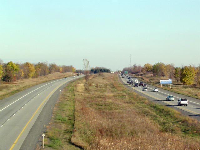
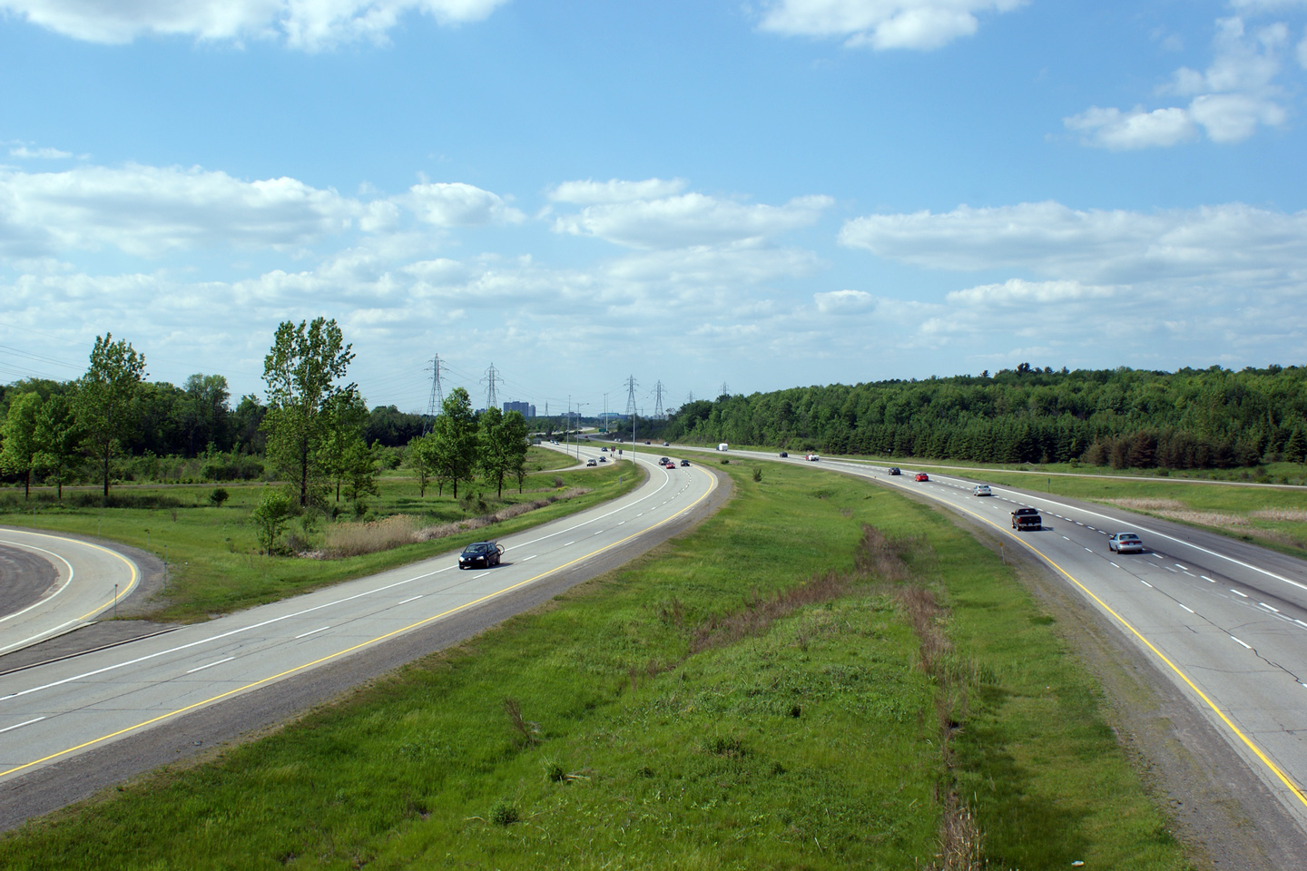
| City of Ottawa |
Easterly view from the Walkey Road overpass. Walkey Road marks (as of
2011) the southeastern limit of the Ottawa suburbs. Photo taken: May 24th, 2010. |
 (720x480) (1440x960) (2400x1600) |
|
| City of Ottawa |
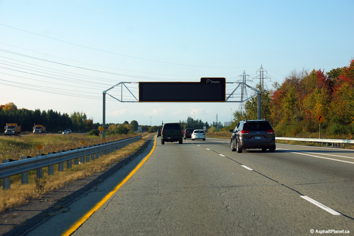
A new overhead changeable message sign was installed along the westbound
lanes of Highway 417 between the Hunt Club and Walkey Road interchanges
during the winter of 2014. As of October, 2014, this sign still has
yet to display its first message. Photo taken: October 1st, 2014. |
 (720x480) (720x480)(1440x960) (2400x1600) |
|
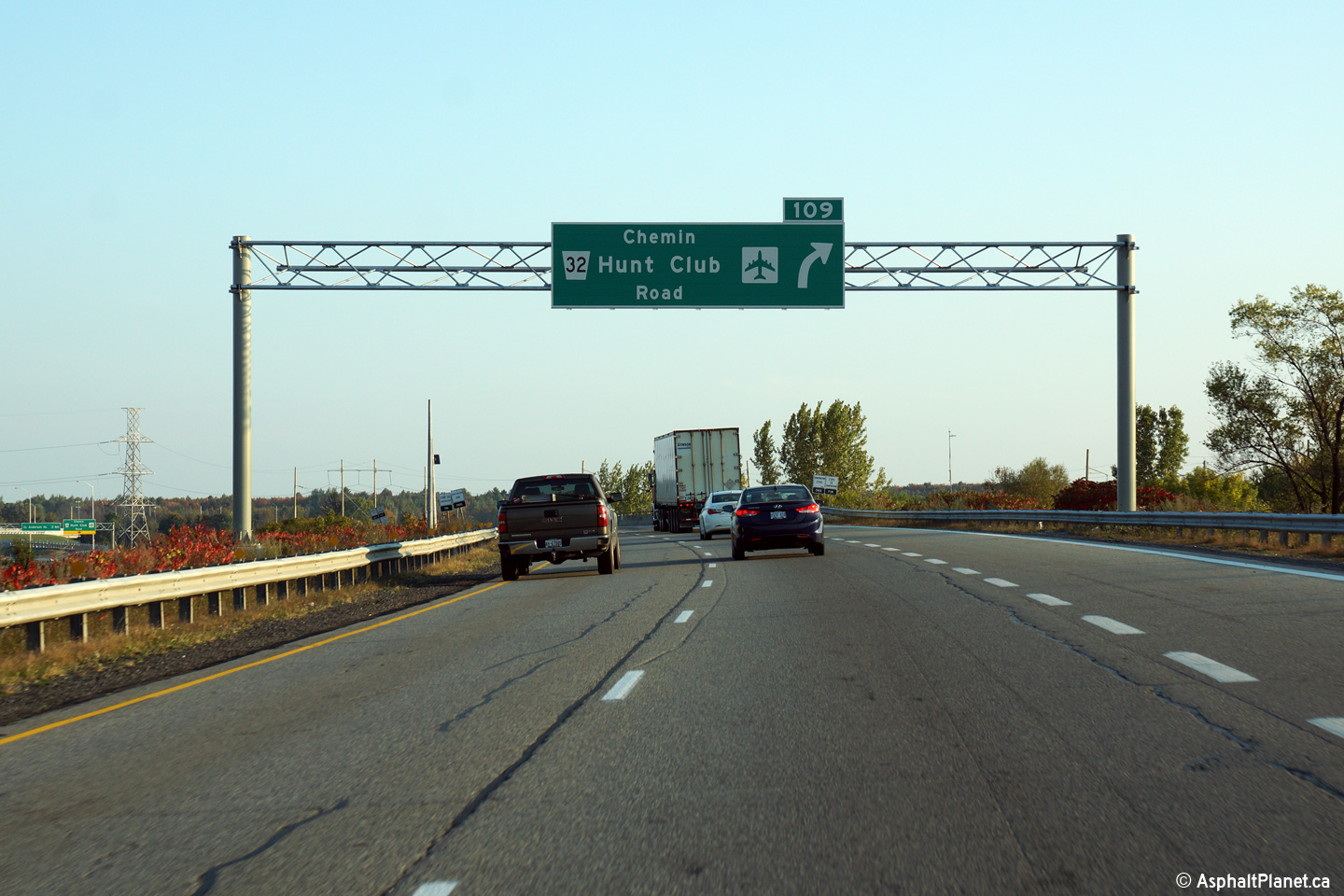
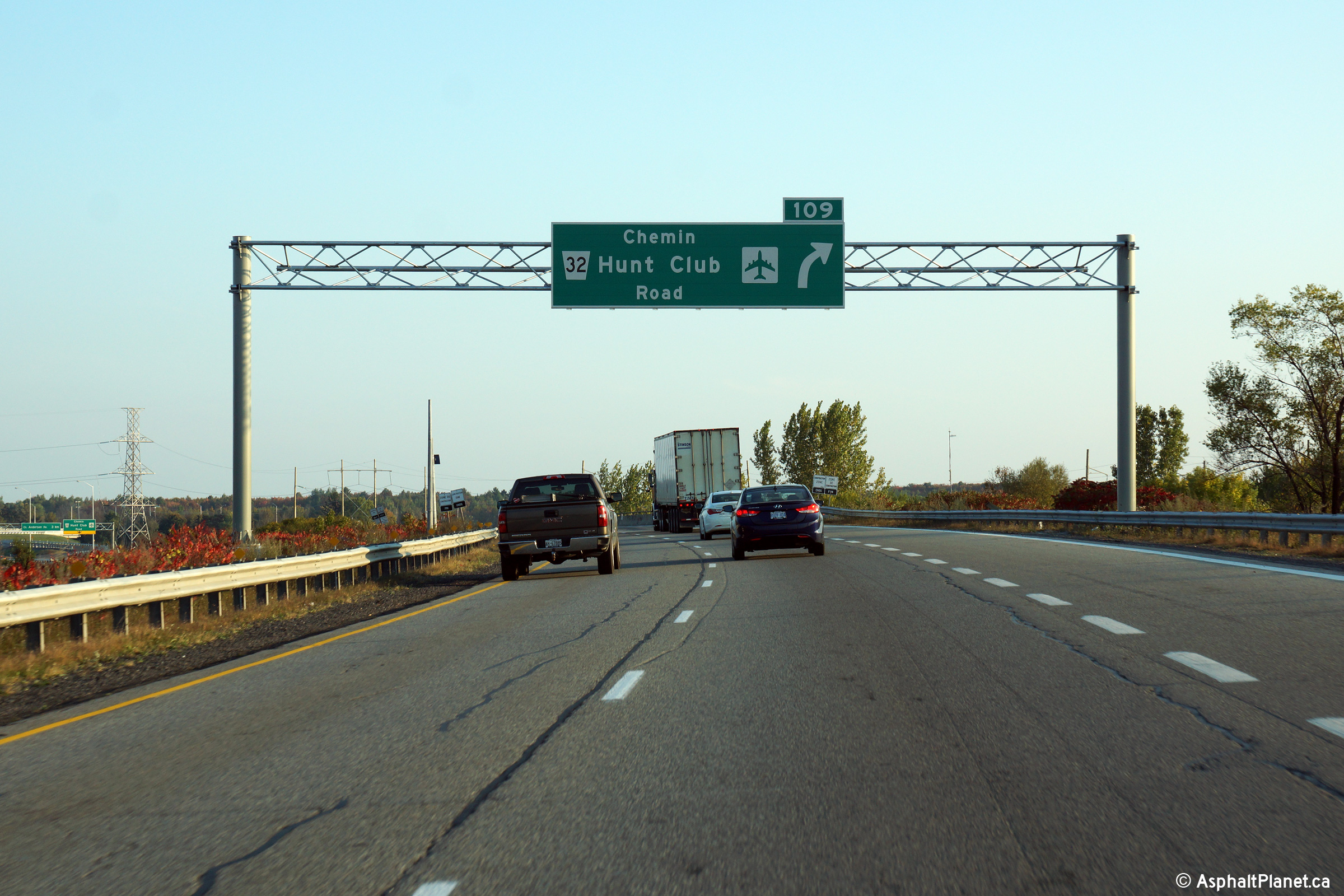
| City of Ottawa |
Eastbound advanced signage for the off-ramp to Hunt Club Road. The
interchange at the Hunt Club Road extension was opened to traffic on August
21st, 2014. Photo taken: October 1st, 2014. |
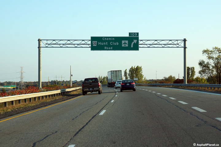 (720x480) (720x480)(1440x960) (2400x1600) |
|
| City of Ottawa |
Easterly view at the off-ramp to Hunt Club Road. While Hunt Club Road
ends at this interchange, the interchange has been designed to be converted
to a standard parclo when a proposed eastern extension of Hunt Club Road is
completed. Photo taken: October 1st, 2014. |
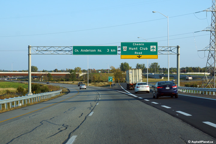 (720x480) (720x480)(1440x960) (2400x1600) |
|
| City of Ottawa |
Looking east towards Montreal from the Boundary Road overpass. Photo taken: October 22nd, 2004. |
 |
|
| City of Ottawa |
Looking west towards Ottawa from the Devine Road overpass. Devine Road
is located at roughly kilometre marker 92. Photo taken: October 22nd, 2004. |
 |
|
| City of Ottawa |
Looking east from the Devine Road overpass along Highway 417. Photo taken: October 22nd, 2004. |
 |
|
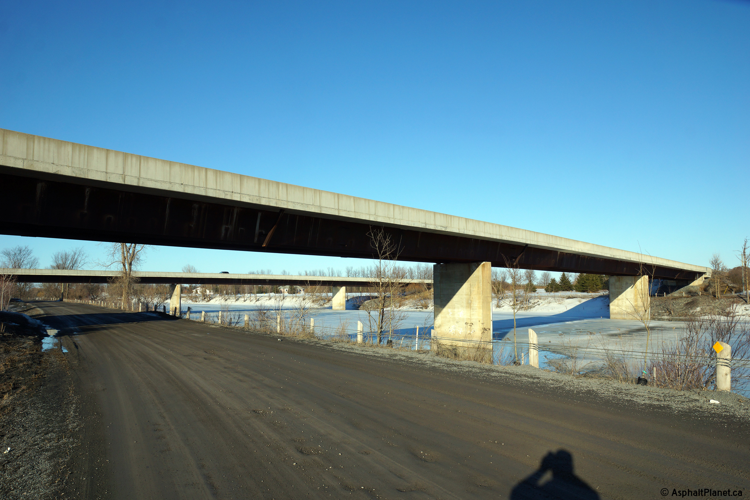
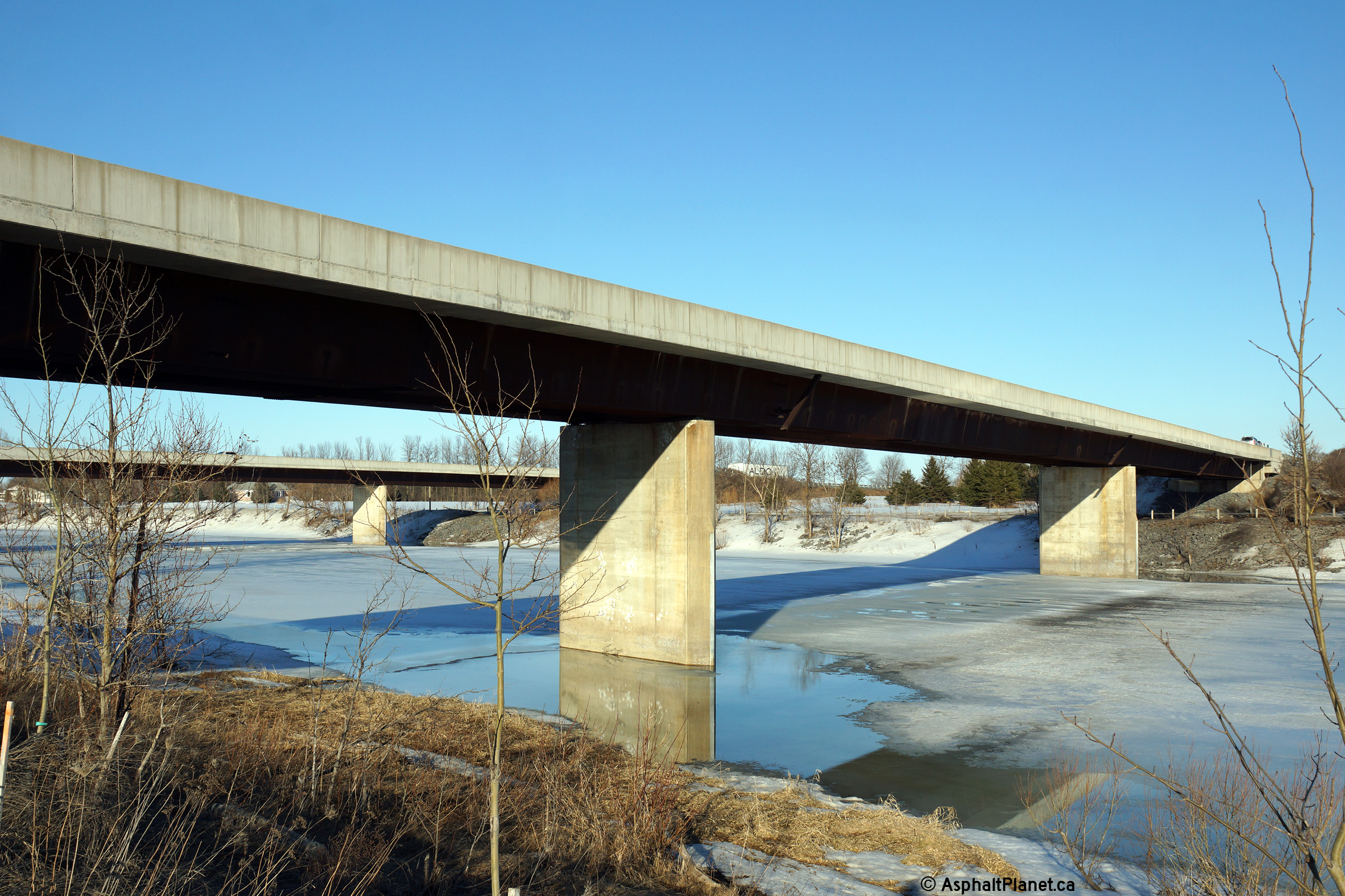
| Town of Casselman United Counties of Prescott and Russell |
Two views looking north-easterly towards the dual structures that carry
Highway 417 overtop of the South Nation River. In addition to crossing
the South Nation River, Highway 417 crosses two local roads that run along
both banks of the river. Photos taken: March 31st, 2014. |
 (720x480) (1440x960) (2400x1600) 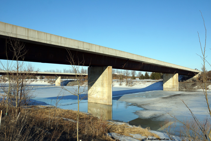 (720x480) (1440x960) (2400x1600) |
|
| Town of Casselman United Counties of Prescott and Russell |
Westerly view from Principale Street in Casselman. Casselman is the
largest community along Highway 417 between Ottawa and Montreal, and offers
numerous services for highway travelers. Aside from Casselman, traveler services appear
only at sporadic interchanges along Highway 417 east of Ottawa. Photo taken: May 24th, 2010. |
||
| Continue easterly through beyond Ottawa along Highway 417 via Page 6B Images. | |||
<- Page 5B Images Highway 417 Images Index Page 6B Images ->
<- Highway 416 Images Back to Highway 417 Highway 420 Images ->
Copyright (c) 2004-2014, AsphaltPlanet.ca AsphaltPlanet@asphaltplanet.ca