|
Proper Municipality Name |
Photo Description |
Photo |
|
Photos taken
from driver's perspective appear offset from centre-line Photos: |
North-
Bound |
South-
Bound |
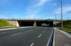
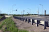
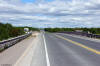
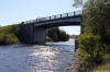
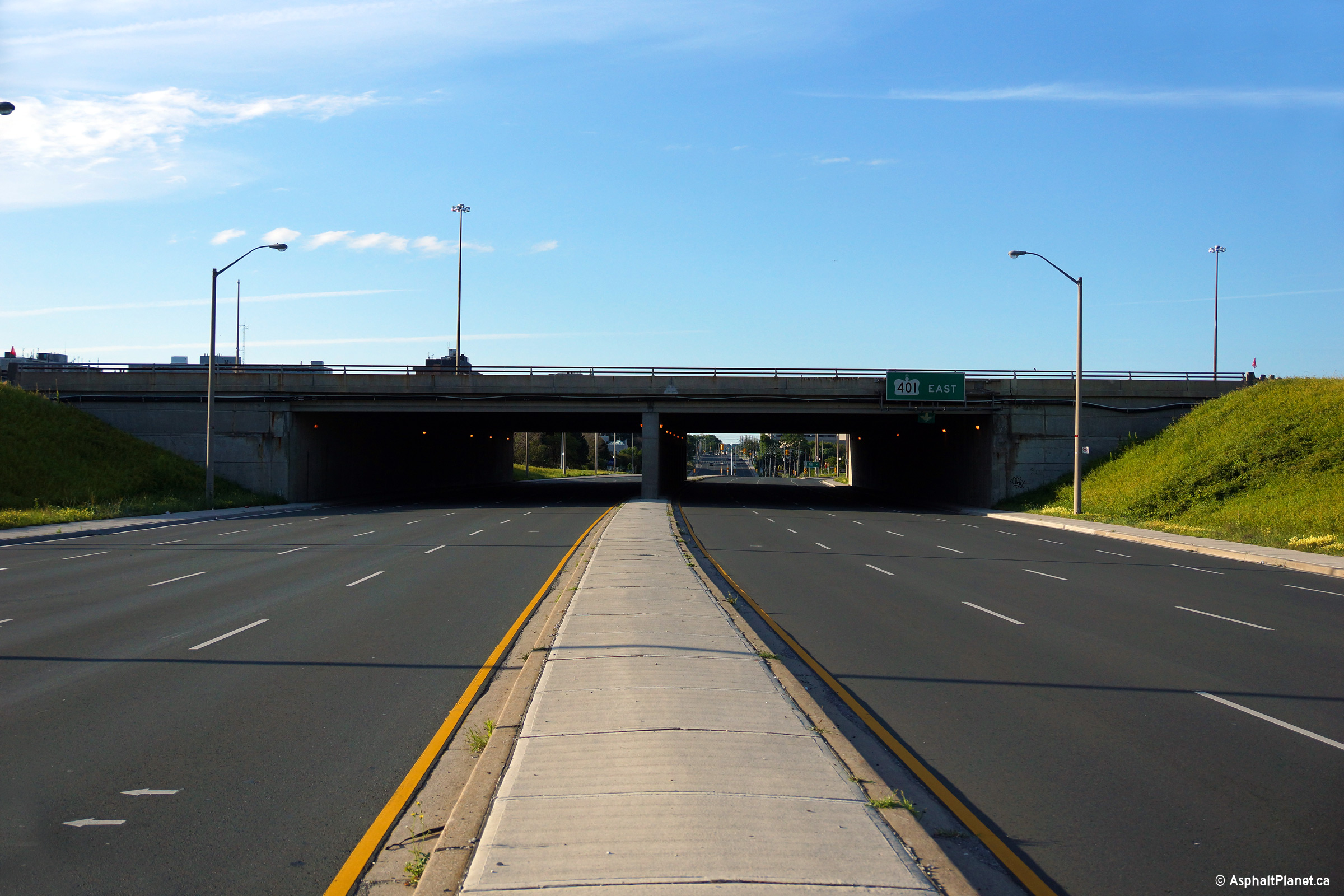
| City of Toronto |
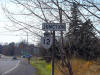
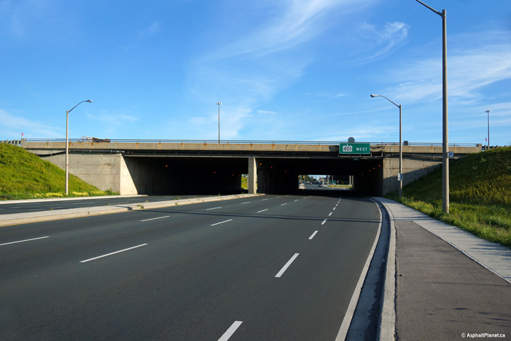
View looking northerly through the Highway 401 overpass. Before
Highway 48 was truncated at the urban limits of Markham, Highway 48 ended at
this interchange.
Photo taken: August 5th, 2013. |
(720x480)
(1440x960)
(2400x1600) |
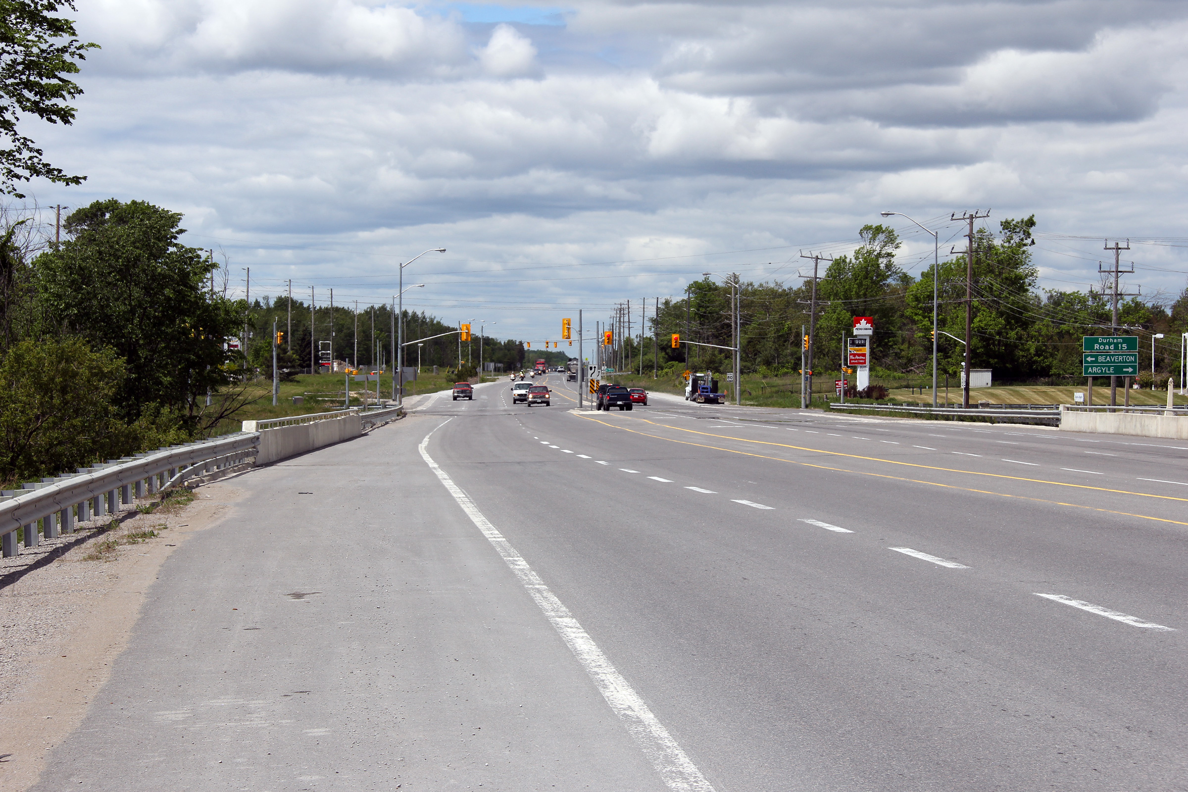
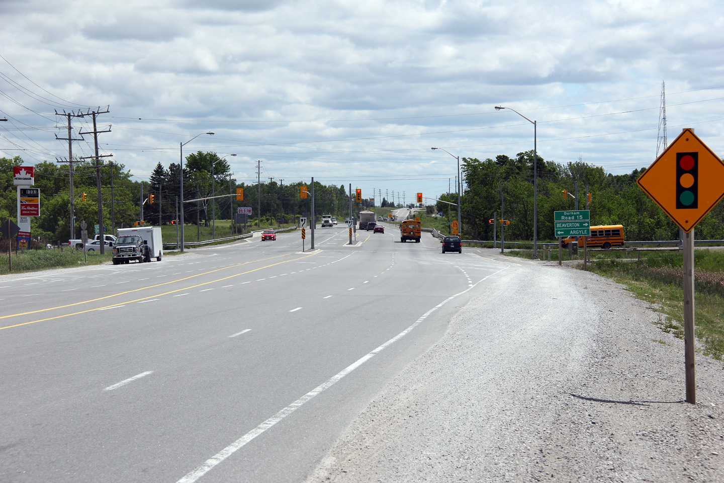
|
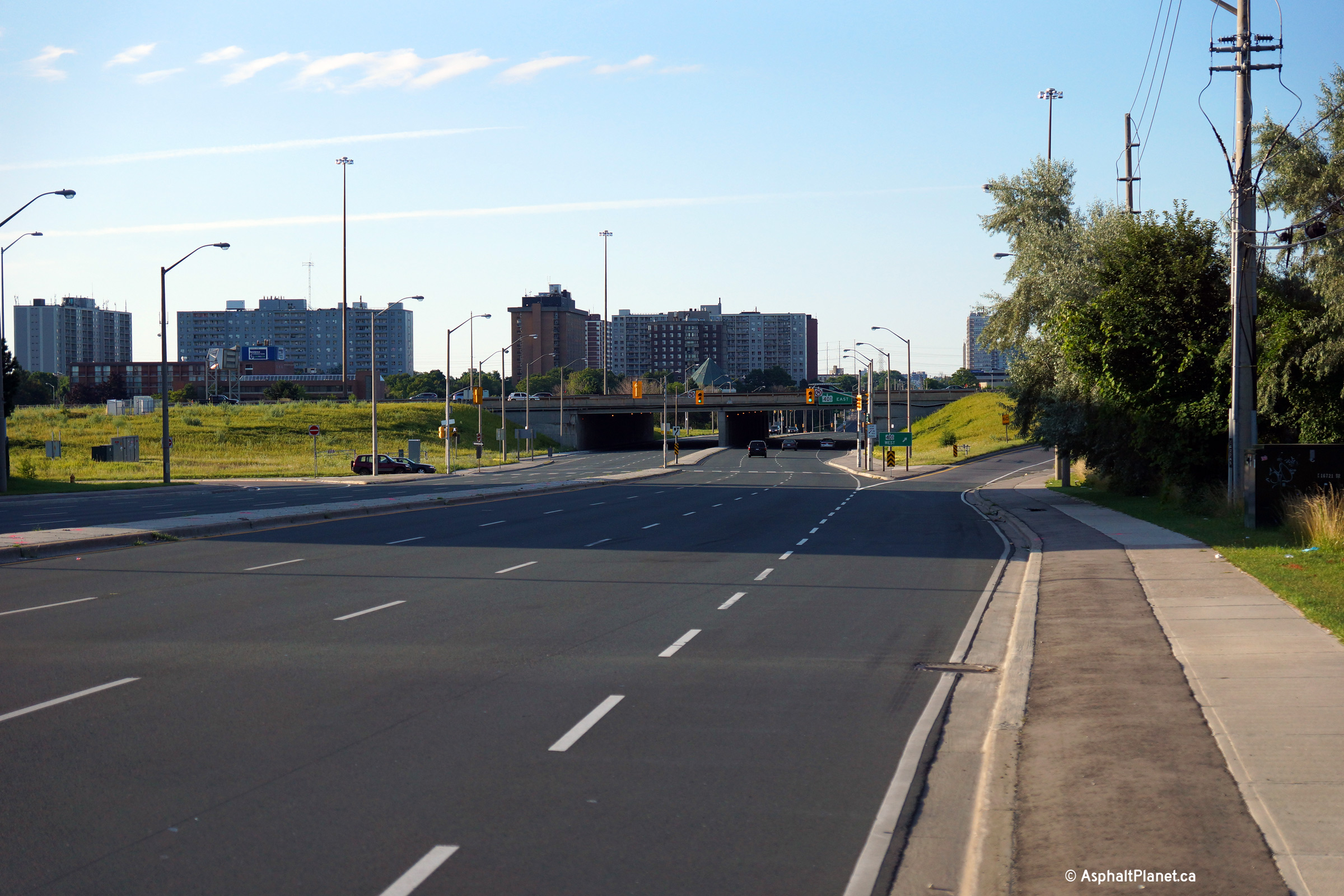
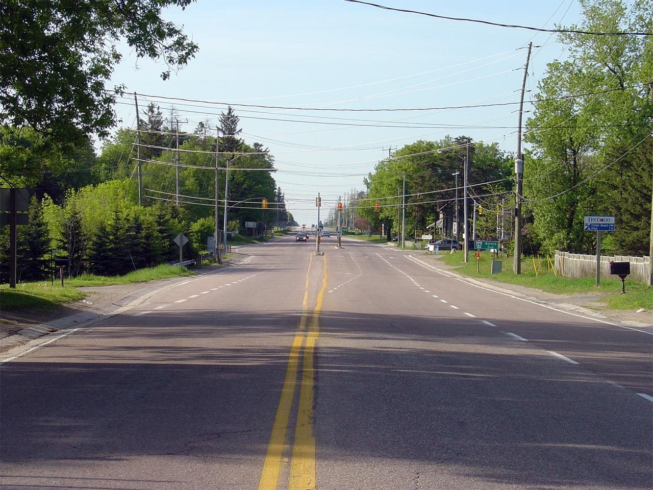
Highway 48 ends at Highway 401 in
central Scarborough. Click
here for Highway 401
West images and
here for Highway 401 East images. |
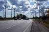
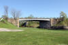
| City of Toronto |
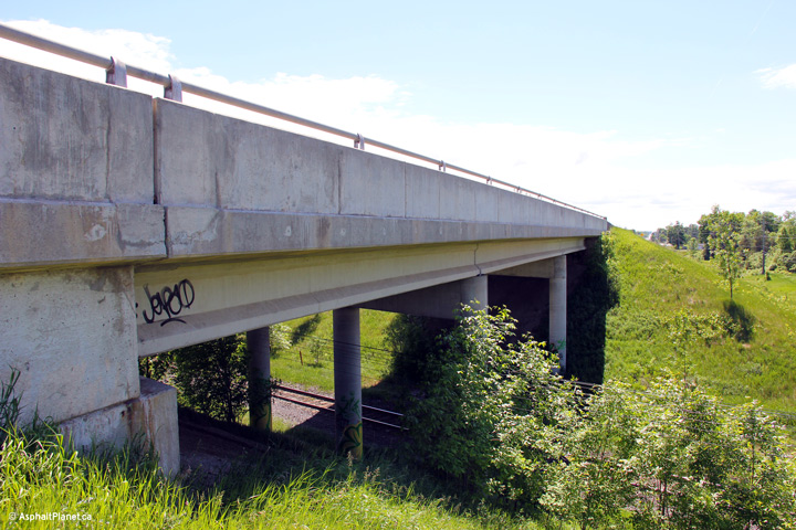
Southerly view through the Highway 401 interchange. Highway 48 passes
beneath Highway 401 under a simple concrete beam bridge. Structure
completed in 1971.
Photo taken: August 5th, 2013. |

(720x480)
(1440x960)
(2400x1600) |
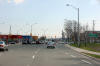
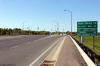
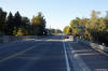
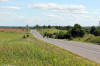
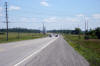
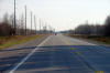
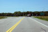
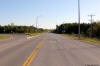
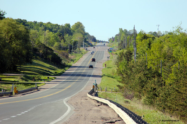
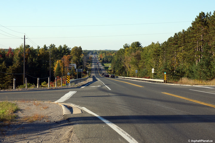
| City of Toronto |
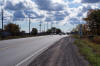
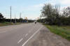
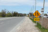
Southerly view approaching the Highway 401 interchange along Highway 48.
Photo taken: August 5th, 2013. |
(720x480)
(1440x960)
(2400x1600) |
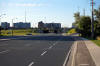
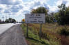
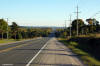
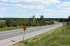
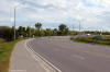
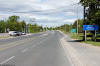
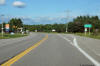
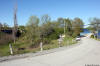
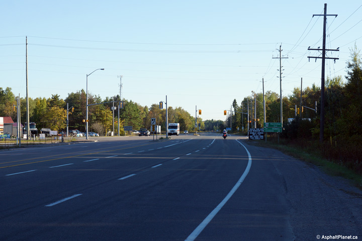
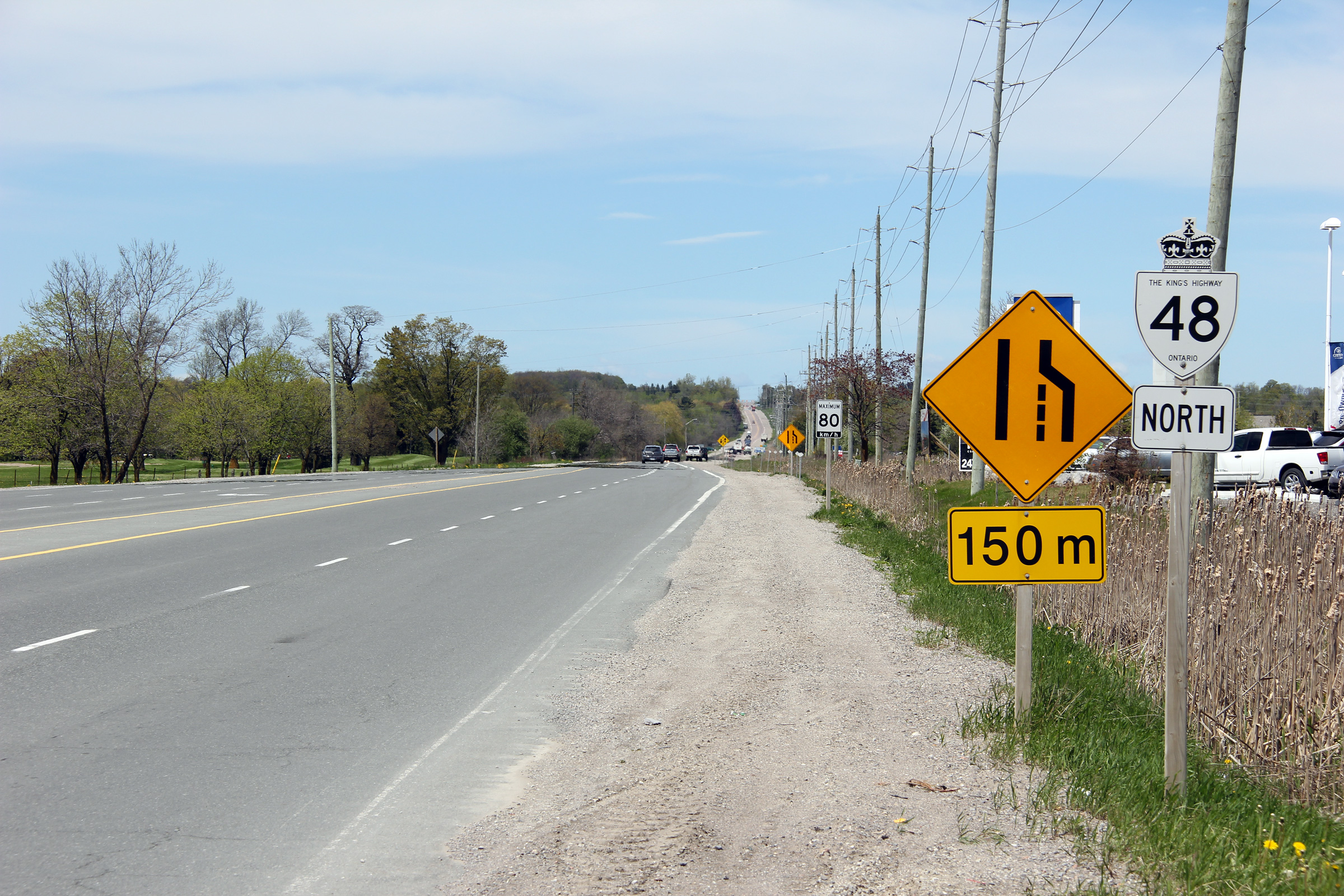
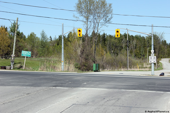
City of Markham
Regional Municipality of York |
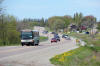
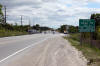
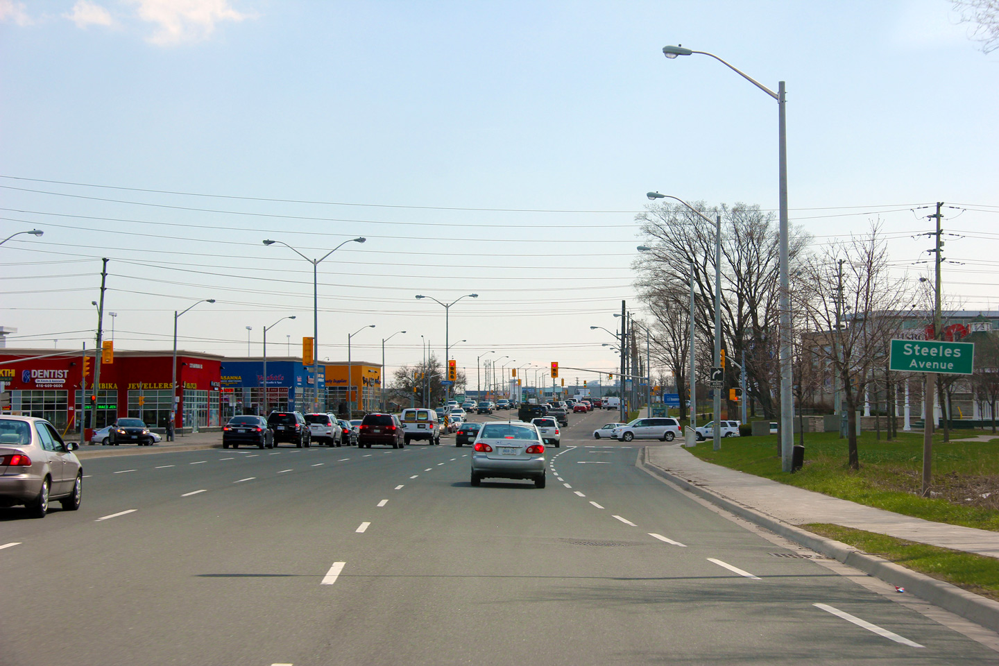
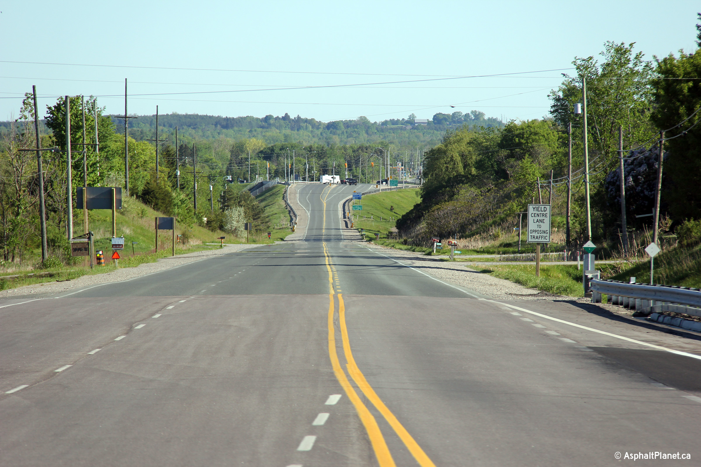
Southerly view approaching the Steeles Avenue intersection along Highway 48.
Prior to the transfer of Highway 48 to Regional Municipality of York in
1998, the Steeles Avenue intersection was the southern limits of MTO's
jurisdiction over Highway 48. In fact, aside from the 400-series
highways within Toronto, prior to 1998, the only highway that MTO had
jurisdiction over within Toronto's city limits was Highway 27. All
other highways were municipally controlled and captured under various connecting
link agreements.
Photo taken: April 26th, 2013. |
(720x480)
(1440x960)
(2400x1600) |
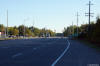
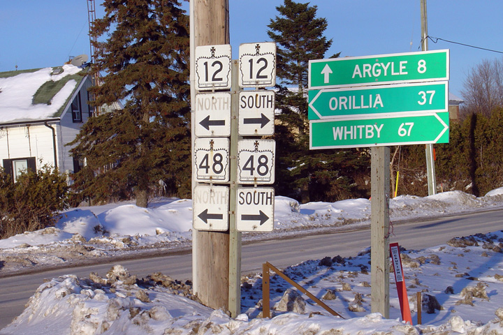
City of Markham
Regional Municipality of York |
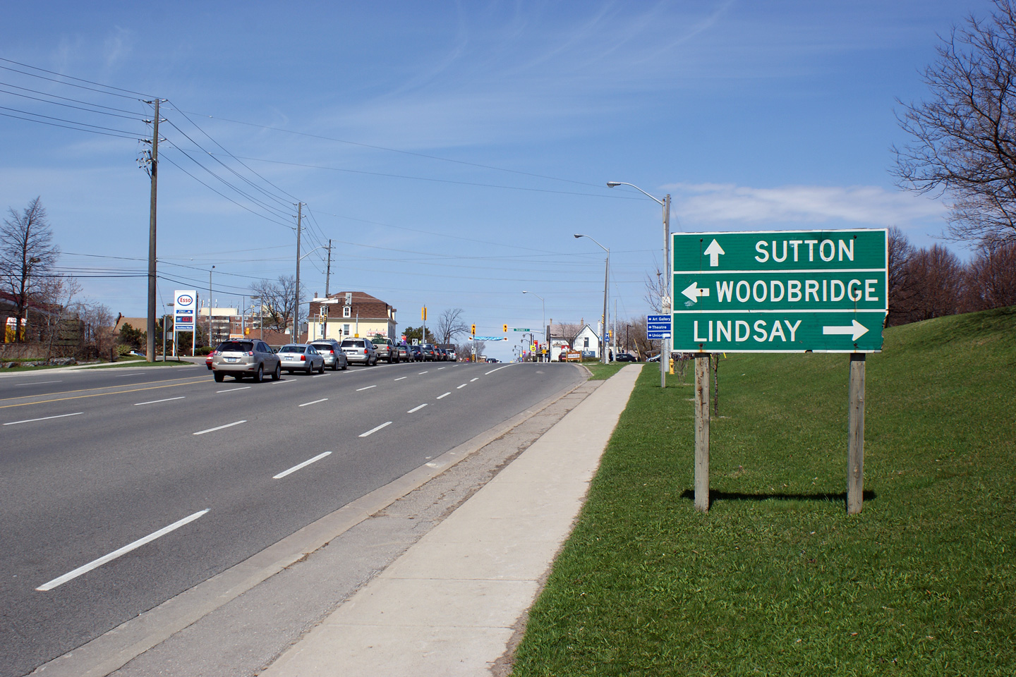
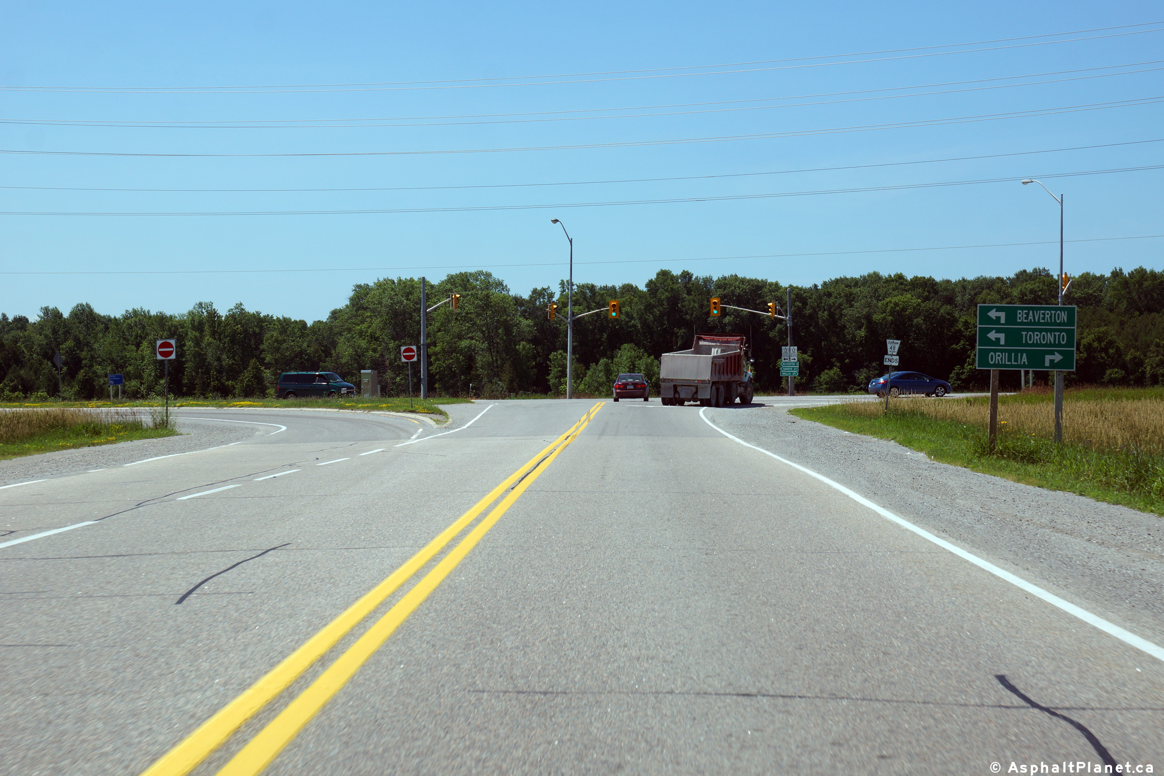
Destination signage approaching the Highway 7 intersection.
Photo taken: April 10th, 2010. |
 (720x480) (720x480)
(1440x960) |
City of Markham
Regional Municipality of York |
Junction assembly for the Highway 7 intersection. Neither Highway 7
nor Highway 48 exist in the vicinity of this junction any longer, so it is
possible that this signage has been removed.
Photo taken: April 10th, 2010. |
 (720x480) (720x480)
(1440x960) |
|
Highway 7 is formerly the main
arterial road linking the communities of southern York Region.
Click here for Highway
7 images. |
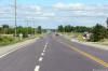
City of Markham
Regional Municipality of York |
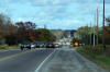
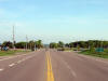
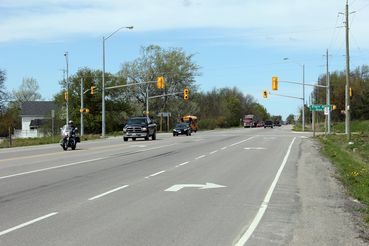
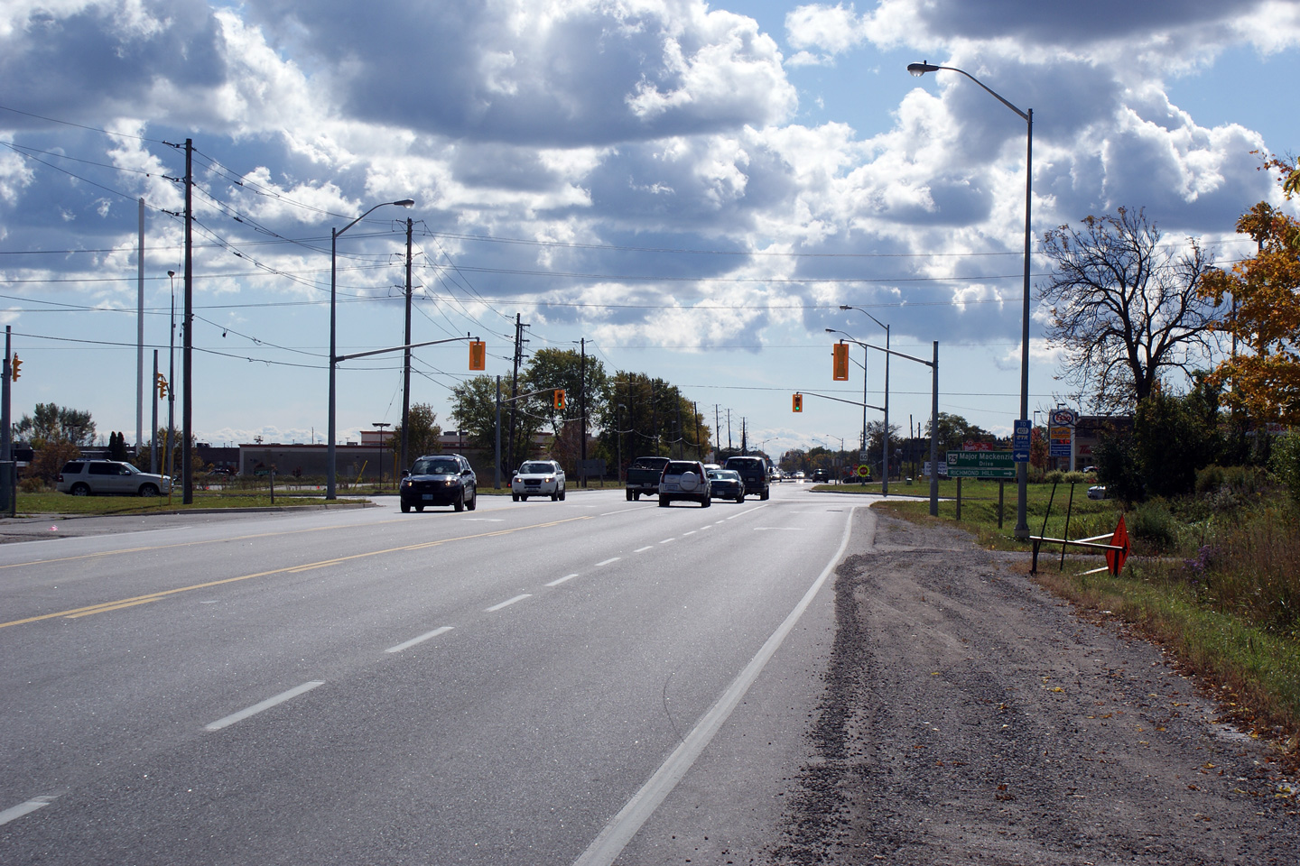
View looking southerly along Highway 48 as it
intersects with Major Mackenzie Drive.
Photo taken: October 10th, 2009. |
(720x480)
(1440x960)
(2400x1600) |
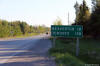
City of Markham
Regional Municipality of York |
This southbound Highway 48 ends sign was erected
in 2006 when Highway 48 was transferred to the Town of Markham between 16th
Avenue and Major Mackenzie Drive. The connecting link agreement
between 16th Avenue and Princess Street was also repealed at that time.
Photo taken: October 10th, 2009. |
(720x480)
(1440x960) |
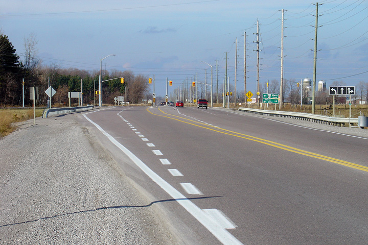
City of Markham
Regional Municipality of York |
Southbound signage approaching Major Mackenzie Drive directing traffic bound
for Highway 407 to follow Donald Cousins Parkway. The MTO
attempted to designate Donald Cousins Parkway as Highway 48 as a connecting link
however
York Region refused to enter into such an agreement.
Photo taken: October 10th, 2009. |
 |
City of Markham
Regional Municipality of York |
First northbound reassurance marker along Highway 48 north of the Major
Mackenzie Drive intersection.
Photo taken: October 10th, 2009. |
 |
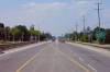
City of Markham
Regional Municipality of York |
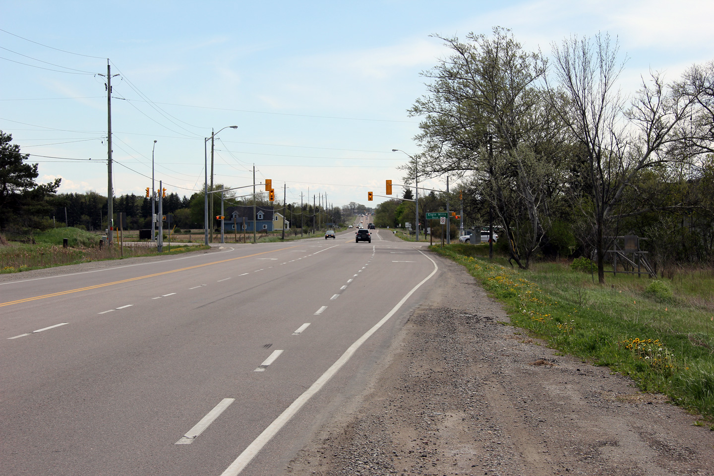
View looking northerly along Highway 48 from
just north of the Major Mackenzie Drive intersection. Note the
Photod construction that saw traffic signals added at the Elgin Mills Road
intersection. Several new traffic signals were added along
Highway 48 in the Stouffville area during the 2000s as the town began to
envelop the Highway 48 corridor.
Photo taken: October 10th, 2009. |
(720x480)
(1440x960) |
Town of Markham
Regional Municipality of York |
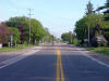
This view looks northerly approaching the Elgin Mills Road intersection.
Photo taken: May 10th, 2012. |

(720x480)
(1440x960)
(2400x1600) |
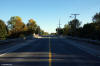
Town of Markham
Regional Municipality of York |
Southerly view approaching the Elgin Mills Road intersection.
Photo taken: May 10th, 2012. |
(720x480)
(1440x960)
(2400x1600) |
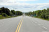
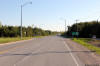
Town of Markham
Regional Municipality of York |
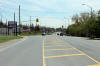
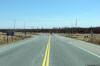
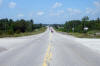
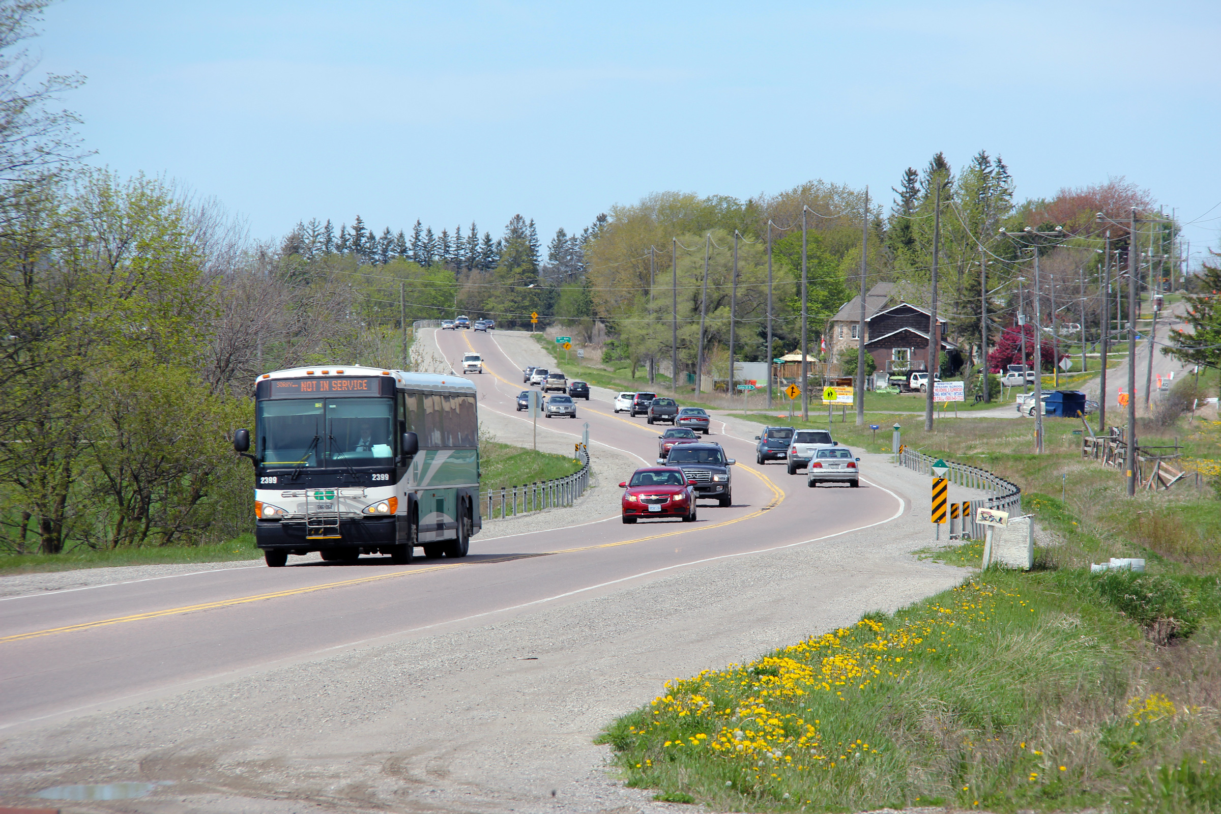
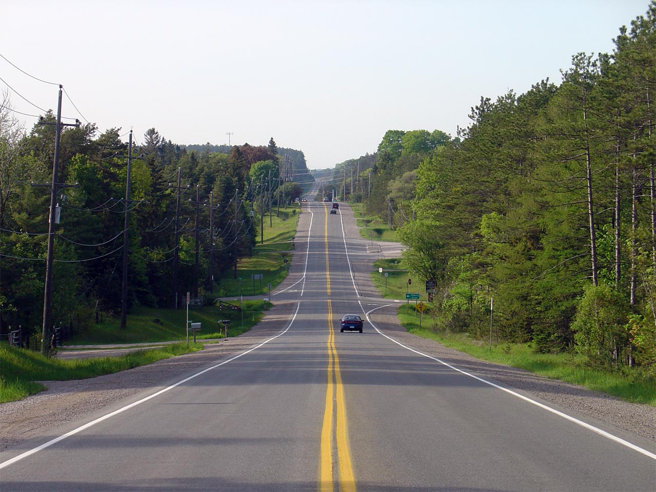
Northerly view along Highway 48 as the highway runs to the west of Dickson
Hill. Note the heavy midday traffic. As Photod, GO Transit
operates transit routes between Stouffville and points south, despite this
traffic congestion persists along many of the major routes south and west of Stouffville.
Photo taken: May 10th, 2012. |
(720x480)
(1440x960)
(2400x1600) |
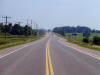
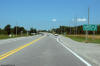
| Town of Whitchurch - Stouffville
Regional Municipality of York |
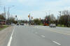
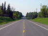
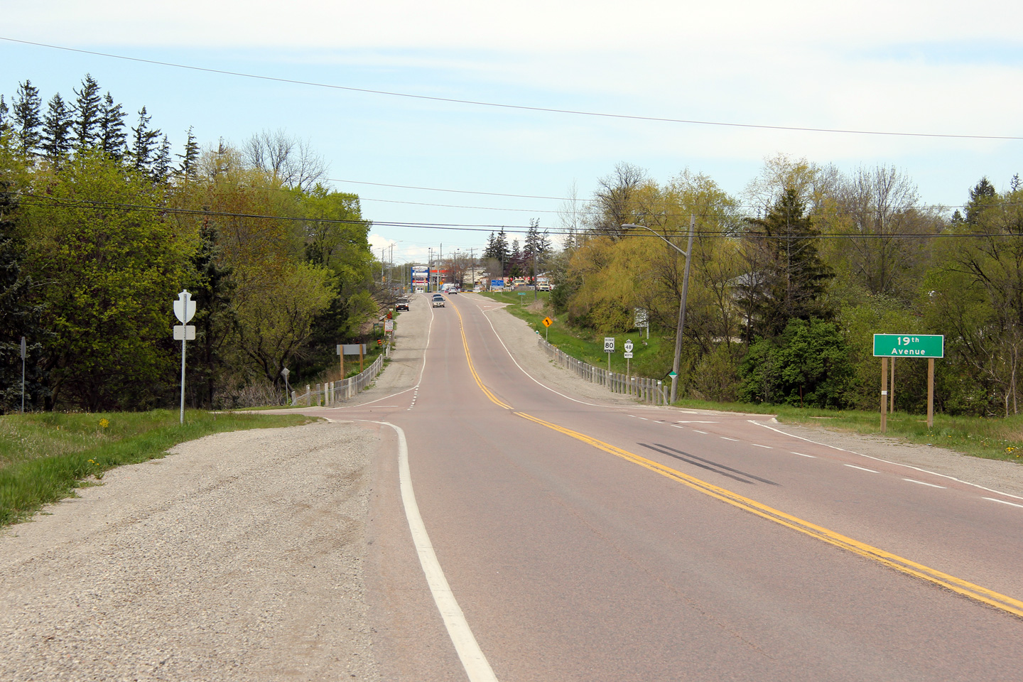
View looking northerly approaching the 19th Avenue intersection. The
19th Avenue intersection is the first major concession road north of
Scarborough that Highway 48 does not meet at a signalized intersection.
Photo taken: May 10th, 2012. |

(720x480)
(1440x960)
(2400x1600) |
| Town of Whitchurch - Stouffville
Regional Municipality of York |
Southerly view as Highway 48 passes alongside a "power centre"
located between the
19th Avenue and Stouffville Road intersections. Notice the shielded
luminaries along the southbound side of the highway. Considerable
efforts have been made in order to reduce ambient light pollution generated
from highway lighting in recent years.
Photo taken: May 10th, 2012. |
(720x480)
(1440x960)
(2400x1600) |
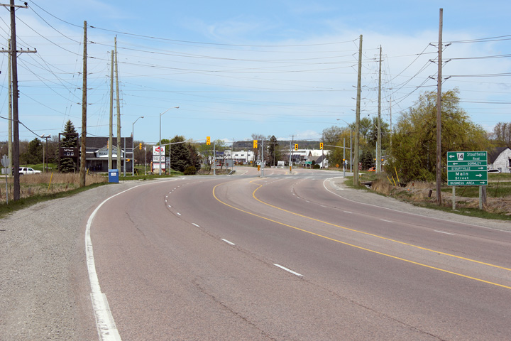
| Town of Whitchurch - Stouffville
Regional Municipality of York |
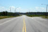
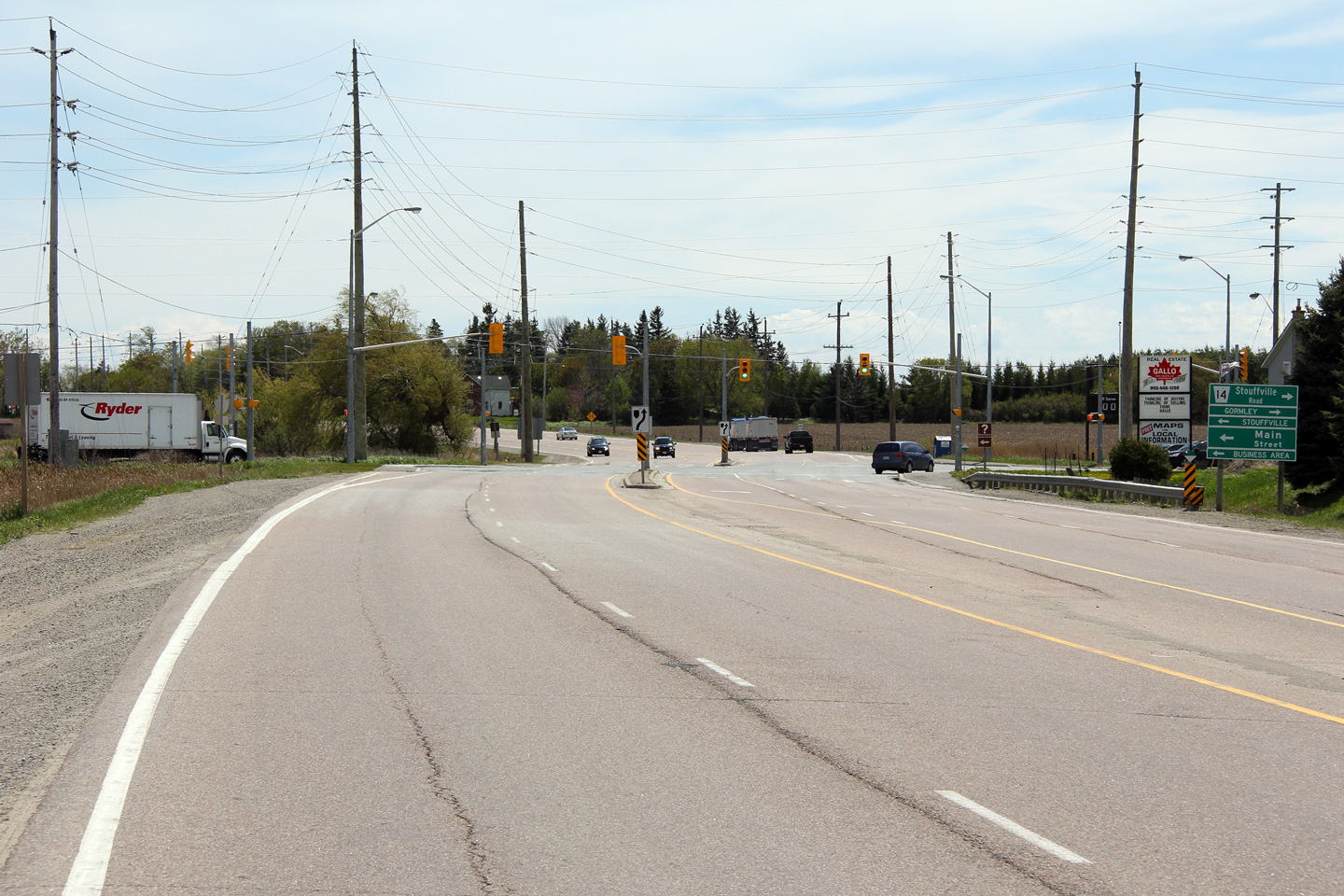
Northerly view approaching the Stouffville Road intersection. Highway
48 widens to four lanes briefly in the vicinity of the Stouffville Road
intersection. Prior to 1993, Highway 47 followed the alignment of Main
Street (Stouffville Road east of Highway 48) into Stouffville before the highway was moved onto Bloomington Road, 4km
to the north.
Photo taken: May 10th, 2012. |

(720x480)
(1440x960)
(2400x1600) |
| Town of Whitchurch - Stouffville
Regional Municipality of York |
This view looks southerly towards the Stouffville Road intersection.
Photo taken: May 10th, 2012. |

(720x480)
(1440x960)
(2400x1600) |
| Town of Whitchurch - Stouffville
Regional Municipality of York |
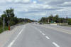
Northerly view from just north of the Stouffville Road intersection.
The distance signage to the right of the Photod highway is indicative of
the former junction of two highways. Typically, the MTO places
distance signs along roads at strategic points either after a control city
or after the junction with another highway. Main Street through
Stouffville carried the Highway 47 designation until 1993.
Photo taken: May 10th, 2012. |

(720x480)
(1440x960)
(2400x1600) |
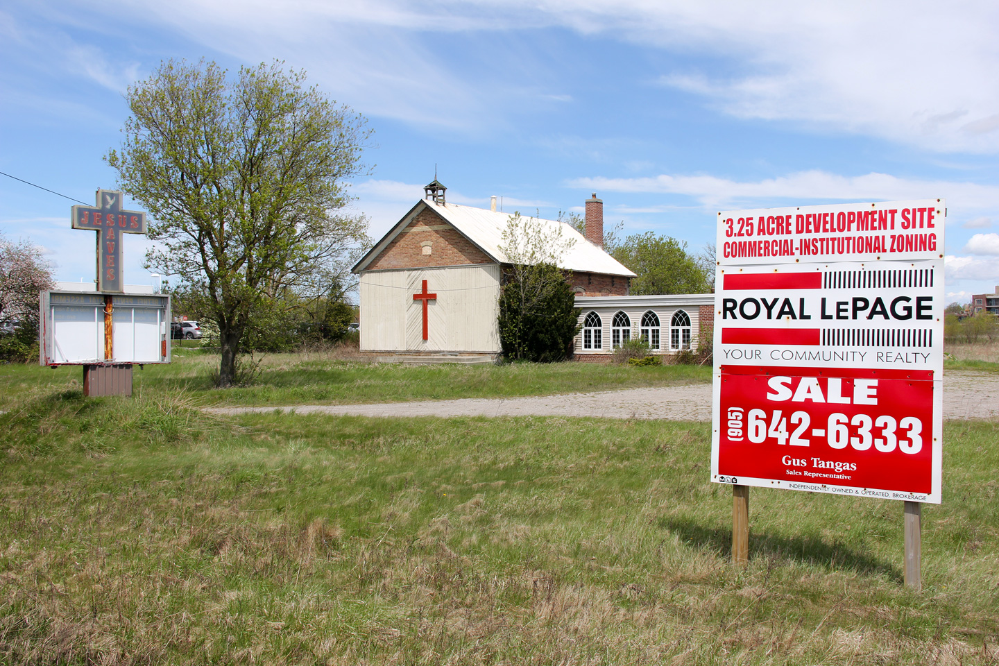
| Town of Whitchurch - Stouffville
Regional Municipality of York |
A former schoolhouse turned church turned abandoned building. The
former Ringwood Community Church has fallen victim to the suburban sprawl
that has enveloped the former farming community of Ringwood.
Photo taken: May 10th, 2012. |

(720x480)
(1440x960) |
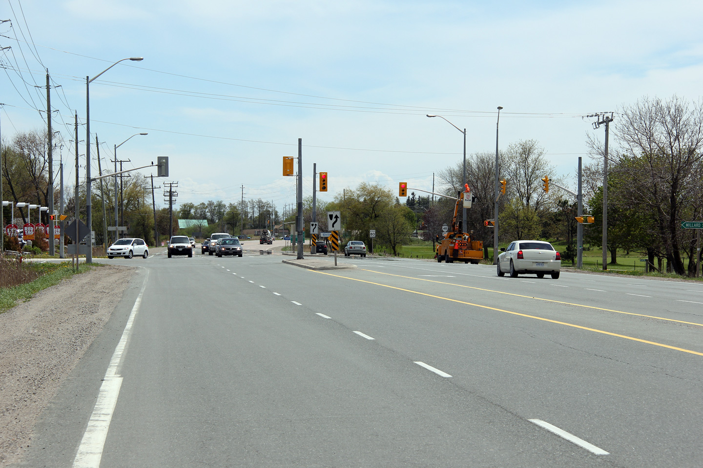
| Town of Whitchurch - Stouffville
Regional Municipality of York |
Southerly view at the Millard Road intersection. Work crews were
inspecting the overhead light fixtures when this photo was taken.
Photo taken: May 10th, 2012. |
(720x480)
(1440x960)
(2400x1600) |
| Town of Whitchurch - Stouffville
Regional Municipality of York |
Northerly view from just north of the Millard Road intersection.
Highway 48 narrows to a two lane rural cross-section beyond the Millard Road
intersection.
Photo taken: May 10th, 2012. |
(720x480)
(1440x960)
(2400x1600) |
| Town of Whitchurch - Stouffville
Regional Municipality of York |
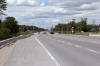
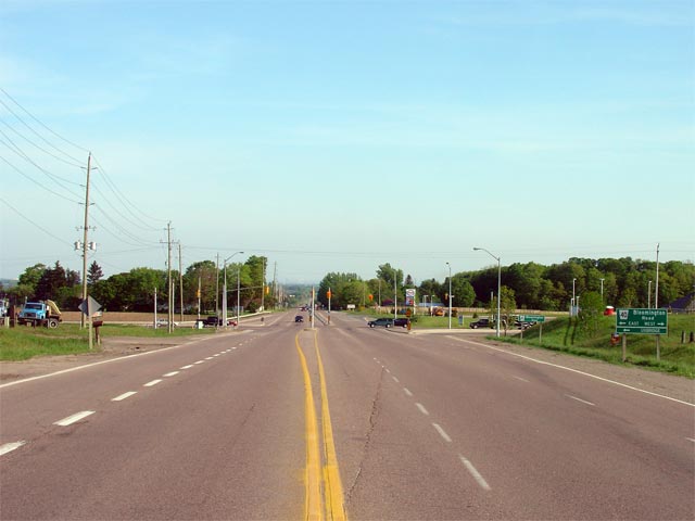
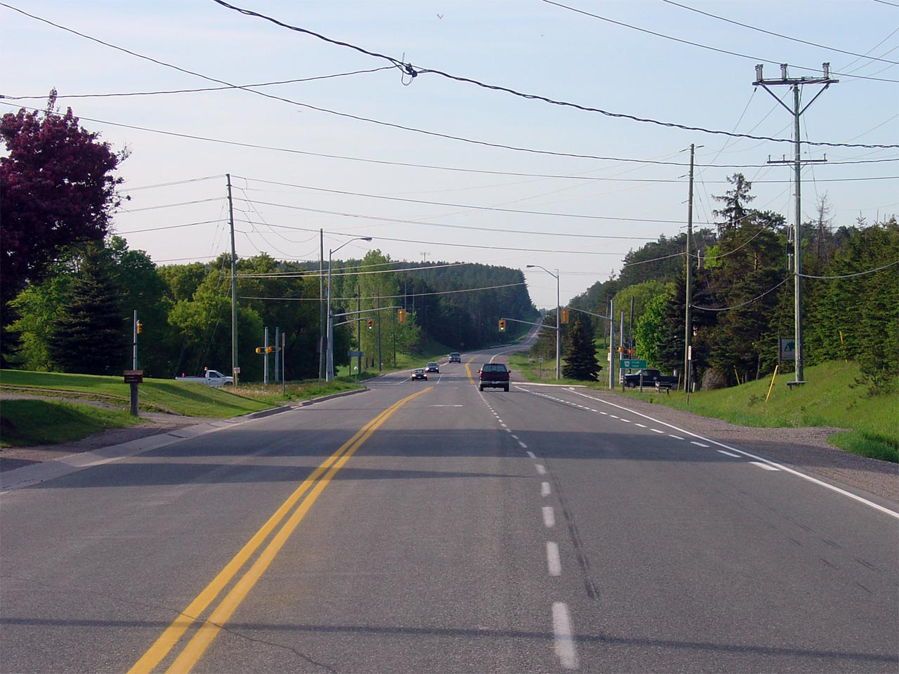
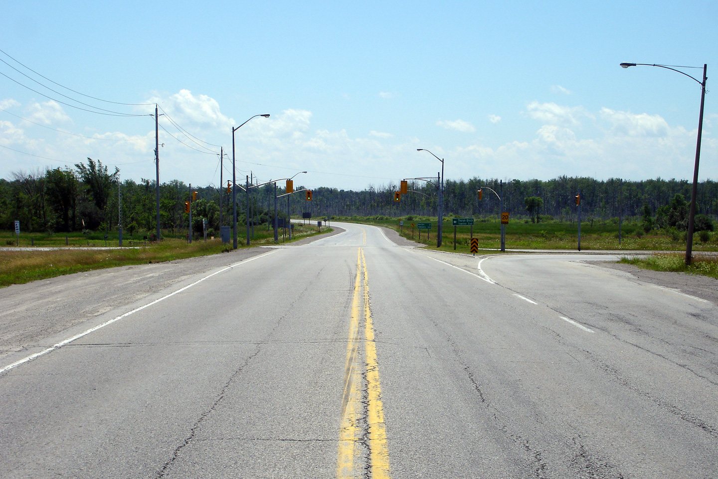
Northerly view towards the Bloomington Road intersection. Since the 2006
photo was taken that appears below, a traffic signal upgrade has taken place
that saw a protected left turn phase installed along Highway 48.
Photo taken: May 10th, 2012. |

(720x480)
(1440x960)
(2400x1600) |
|
Before 1998 Highway 48 began its
trek east towards Uxbridge and Highway 12 at this junction.
Click here for Highway
47 images. |
| Town of Whitchurch - Stouffville
Regional Municipality of York |
View looking southerly along Highway 48 as it
approaches the Bloomington Road intersection. For a brief period in
time in the 1990s, this intersection was the western terminus of
Highway 47. Photo taken: May 27th, 2006. |
(720x480)
(1440x960) |
| Town of Whitchurch- Stouffville
Regional Municipality of York |
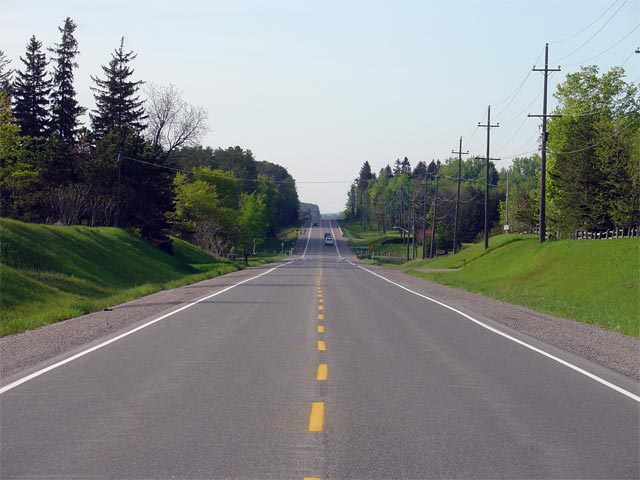
View looking southerly along a gentle reversing
curve just south of Ballantrae. Photo taken: May 27th, 2006. |

(720x480)
(1440x960) |
| Town of Whitchurch- Stouffville
Regional Municipality of York |
Looking north through Ballantrae towards the
Aurora Road intersection. Photo taken: May 27th, 2006. |

(720x480)
(1440x960) |
| Town of Whitchurch- Stouffville
Regional Municipality of York |
Looking south towards Ballantrae and the Aurora
Road intersection. Highway 48's speed limit drops to 60km/h through
the small community. This is the first speed limit reduction north of
Markham. Photo taken: May 27th, 2006. |
(720x480)
(1440x960) |
| Town of Whitchurch- Stouffville
Regional Municipality of York |
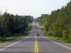
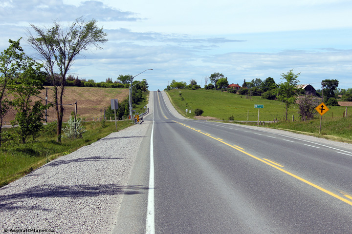
View looking northerly along Highway 48 from
north of Ballantrae towards the St. John's Sideroad intersection.
Highway 48 is passing through the Oak Ridges Moraine through this part of
Stouffville. Photo taken: May 27th, 2006. |
(720x480)
(1440x960) |
| Town of Whitchurch- Stouffville
Regional Municipality of York |
A view looking northerly along Highway 48 from
north of St. John's Sideroad. Photo taken: May 27th, 2006. |
(720x480)
(1440x960) |
| Town of Whitchurch- Stouffville
Regional Municipality of York |
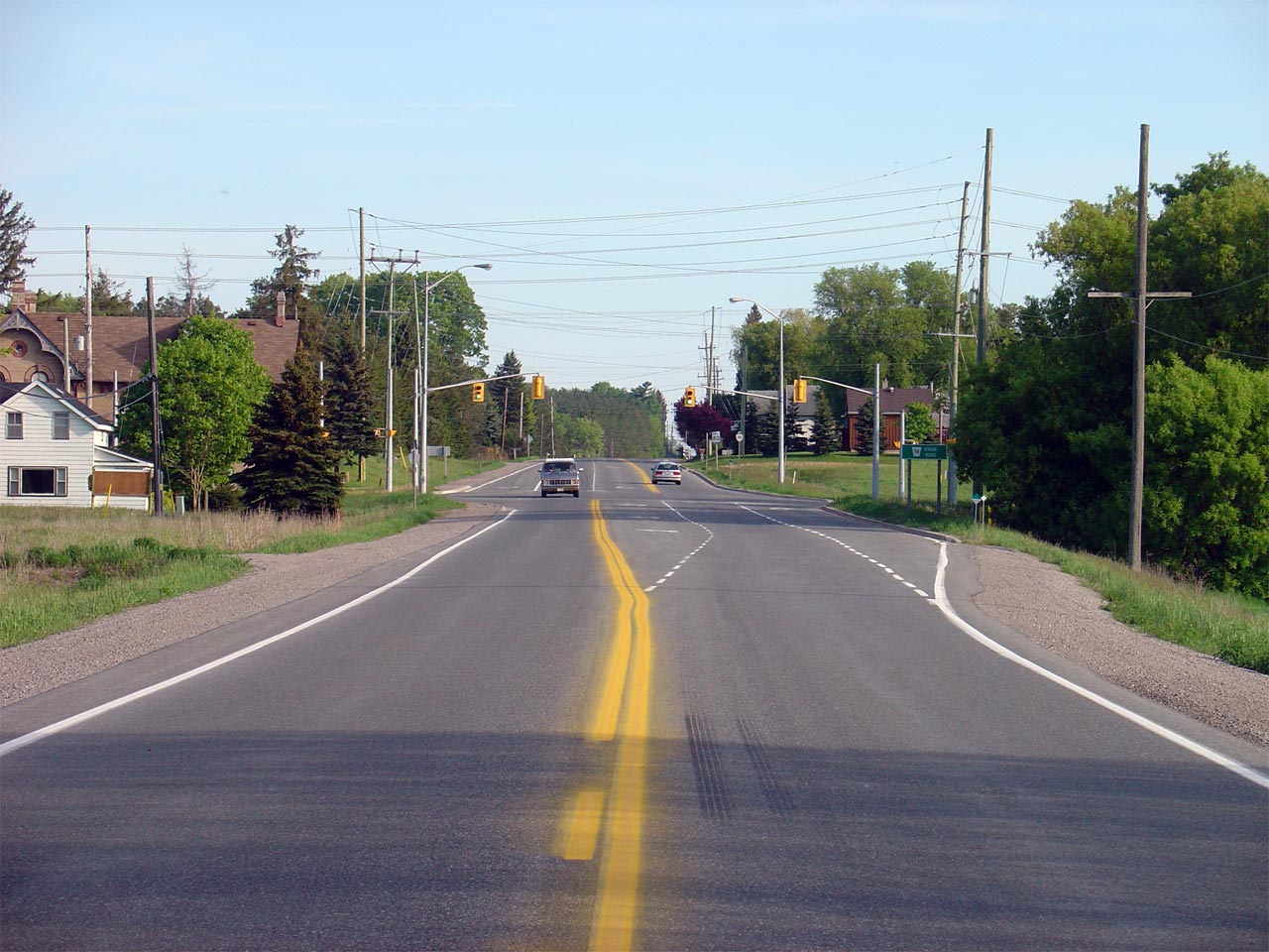
A view looking north towards the Vivian Road
intersection. This is one of the few signalized intersections along
Highway 48 in York Region, where the approaches to the traffic signal have
not been widened to four-lanes. Photo taken: May 27th, 2006. |
(720x480)
(1440x960) |
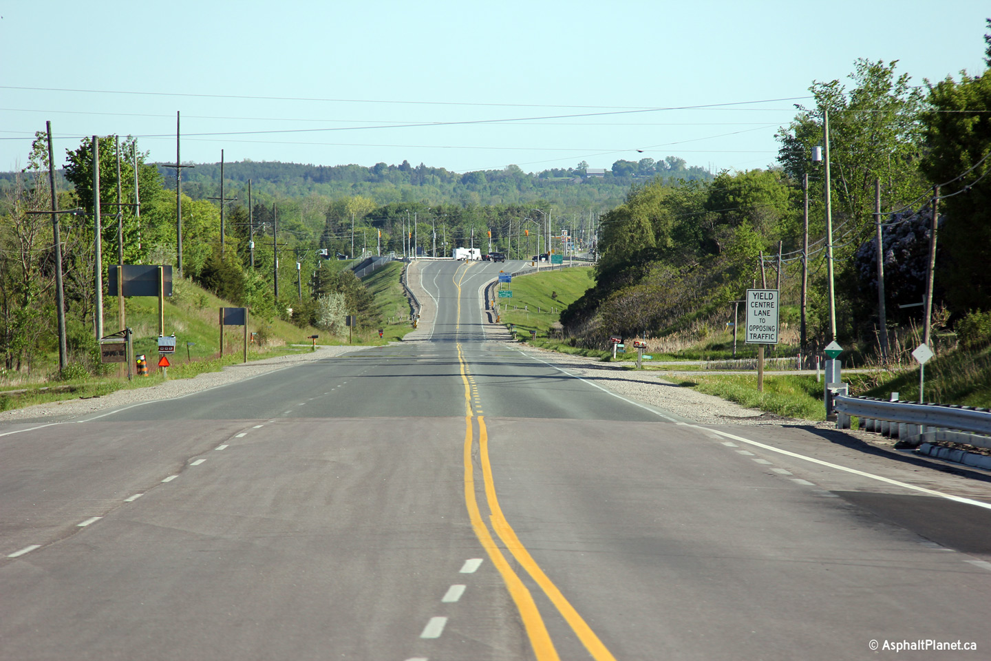
| Town of East Gwillimbury
Regional Municipality of York |
Looking south at the Vivian Road intersection.
Photo taken: May 27th, 2006. |
(720x480)
(1440x960) |
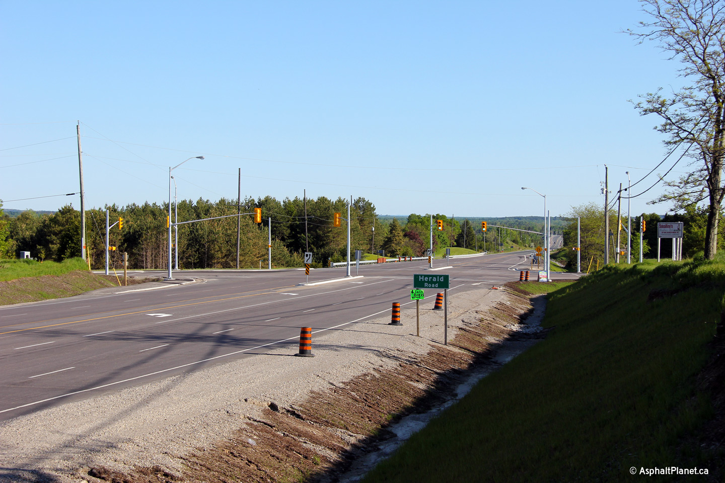
| Town of East Gwillimbury
Regional Municipality of York |
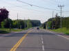
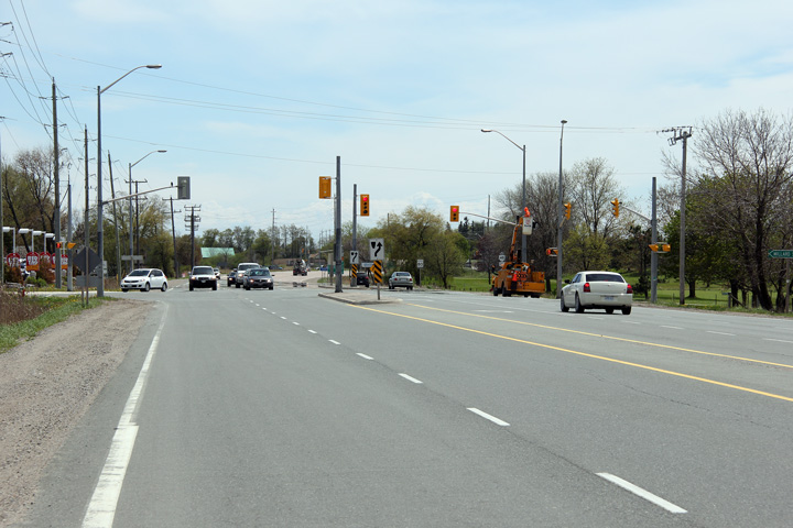
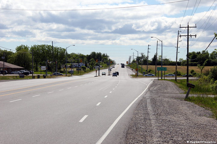
Northerly view at the Herald Road intersection.
Traffic signals were added at this intersection during the autumn of 2012.
Traffic volumes have grown considerably along Herald Road ever since Highway
404 was extended to Green Lane in 2002.
Photo taken: May 26th, 2013. |

(720x480)
(1440x960)
(2400x1600) |
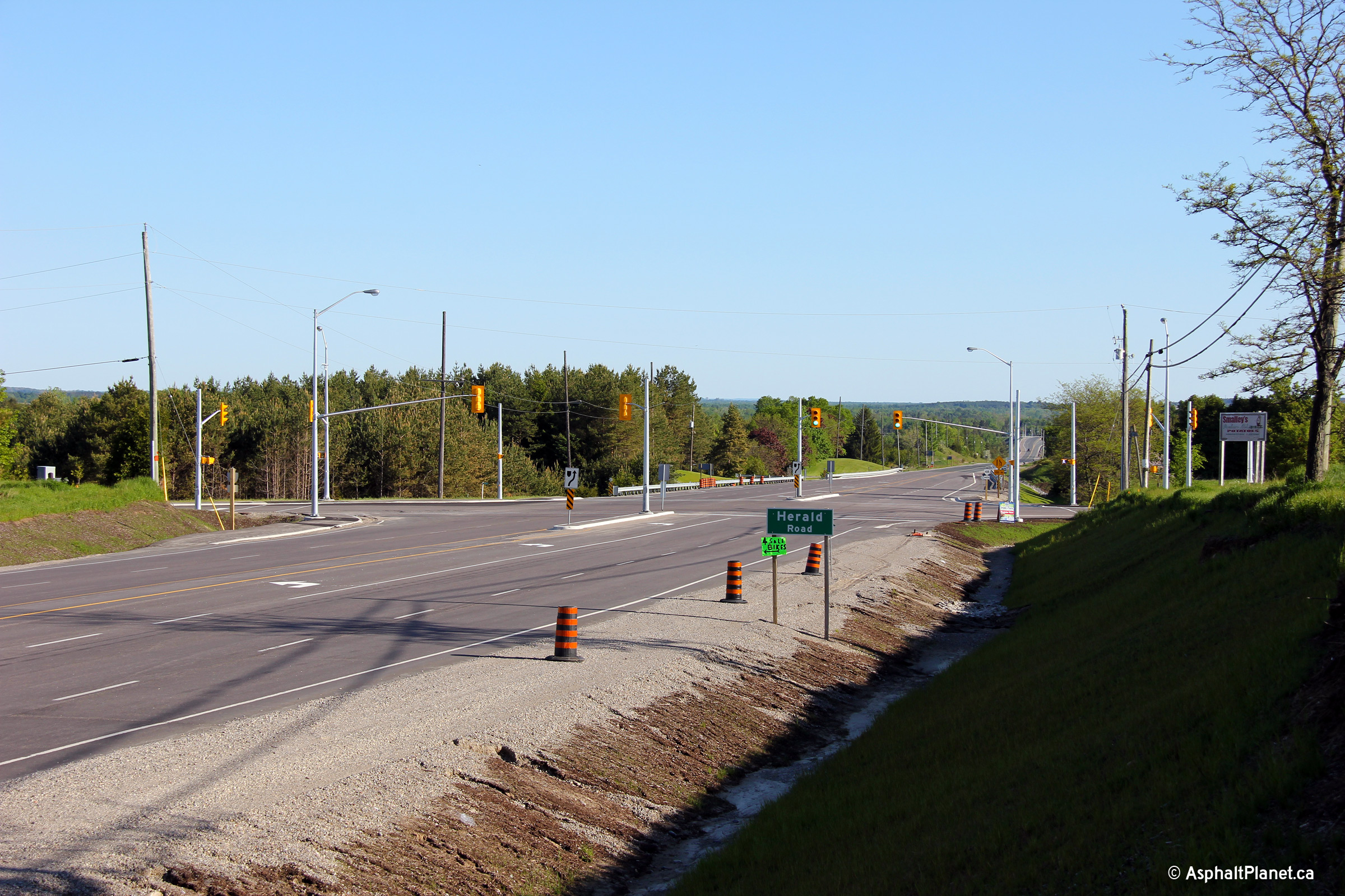
| Town of East Gwillimbury
Regional Municipality of York |
View looking northerly towards the Herald Road
intersection.
Photo taken: May 26th, 2013. |

(720x480)
(1440x960)
(2400x1600) |
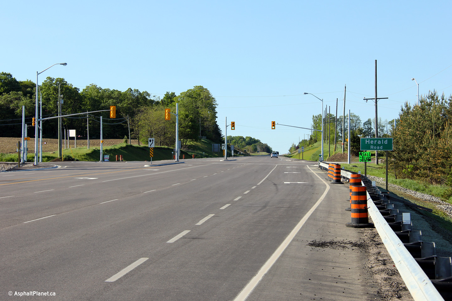
| Town of East Gwillimbury
Regional Municipality of York |
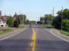
This view looks northerly along Highway 48 from
the Herald Road intersection towards Mount Albert.
Photo taken: May 26th, 2013. |
(720x480)
(1440x960)
(2400x1600) |
| Town of East Gwillimbury
Regional Municipality of York |
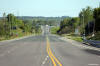
Southerly view from the Mount Albert Road
overpass as Highway 48 begins its long climb southerly into the Oak Ridges
Moraine.
Photo taken: May 26th, 2013. |

(720x480)
(1440x960)
(2400x1600) |
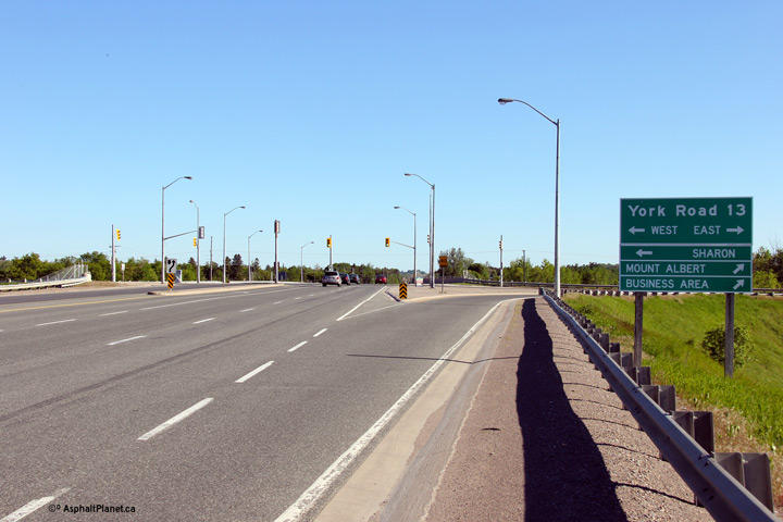
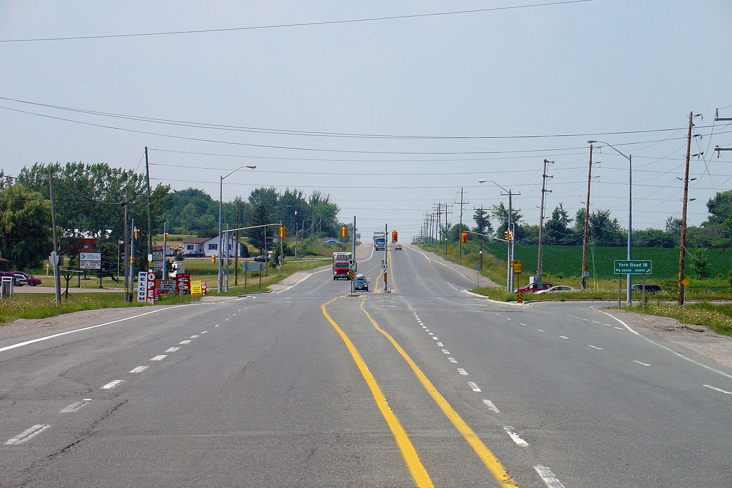
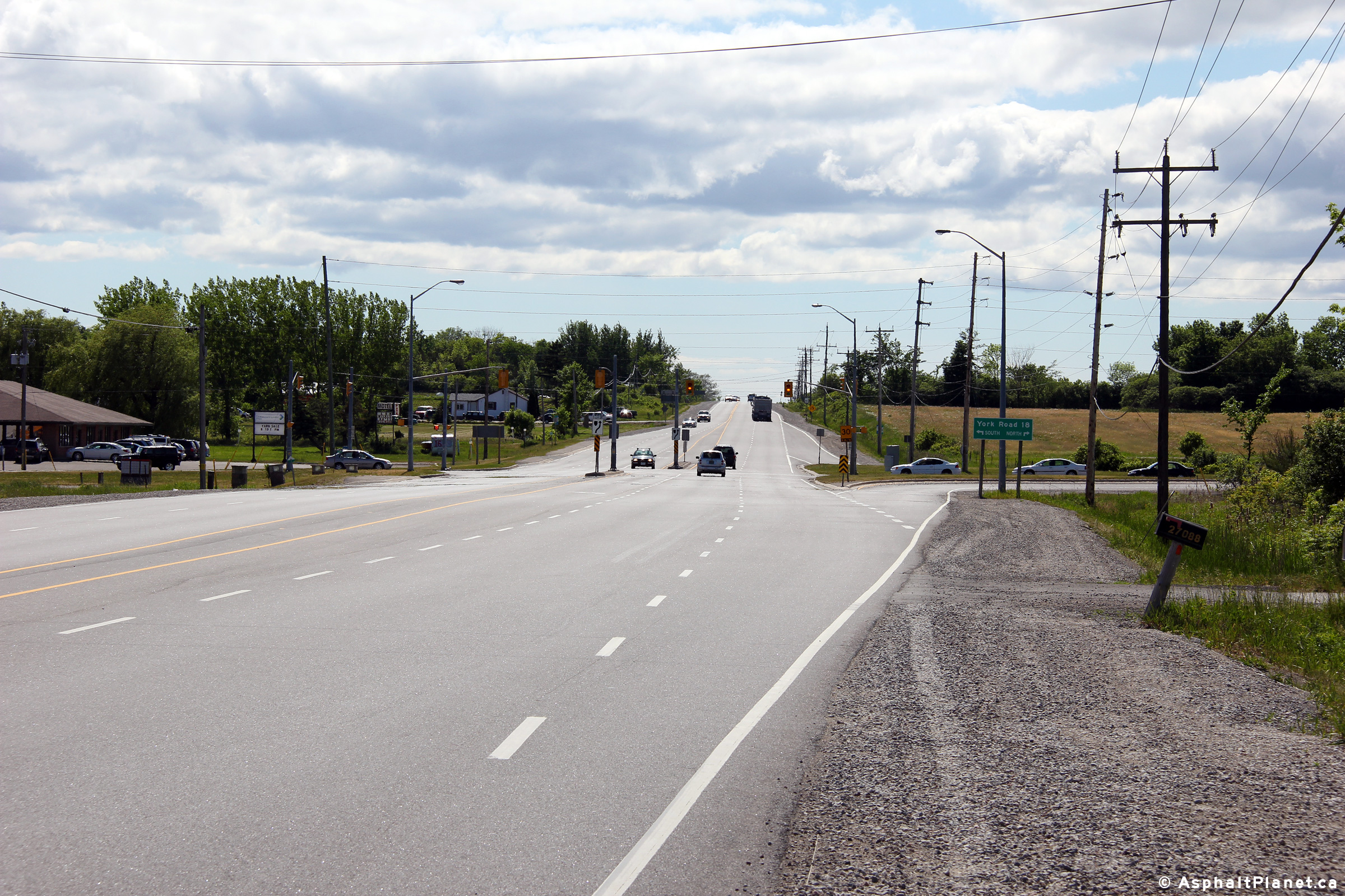
| Town of East Gwillimbury
Regional Municipality of York |
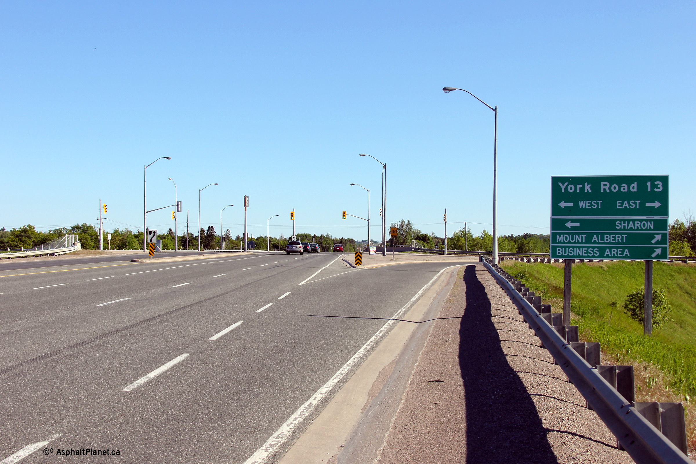
Northerly view approaching the Mount Albert Road
(York Road 13) intersection. A CN railway line passes underneath of
this intersection on a 45 degree angle.
Photo taken: May 26th, 2013. |

(720x480)
(1440x960)
(2400x1600) |
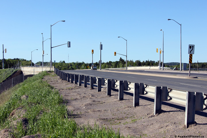
| Town of East Gwillimbury
Regional Municipality of York |
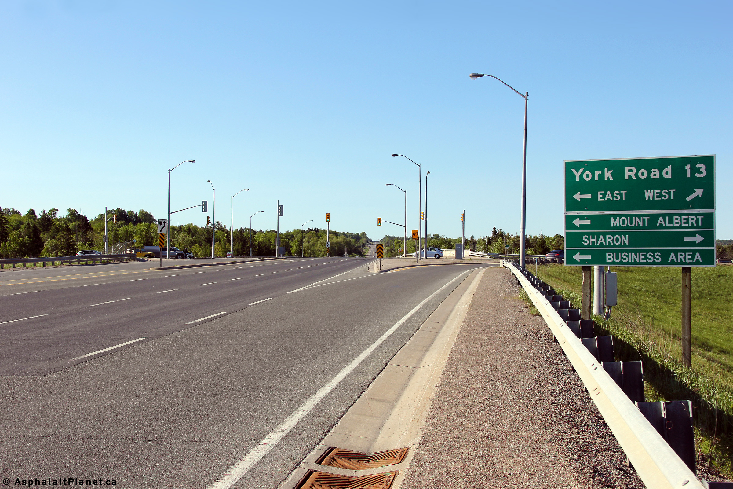
View looking southerly towards the Mount Albert
Road intersection along Highway 48. Note the bridge parapets on both sides
of the intersection, highlighting the considerable skew which the CN Railway
passes beneath the intersection.
Photo taken: May 26th, 2013. |
(720x480)
(1440x960)
(2400x1600) |
| Town of East Gwillimbury
Regional Municipality of York |
Southerly view approaching the Mount Albert Road
intersection.
Photo taken: May 26th, 2013. |
(720x480)
(1440x960)
(2400x1600) |
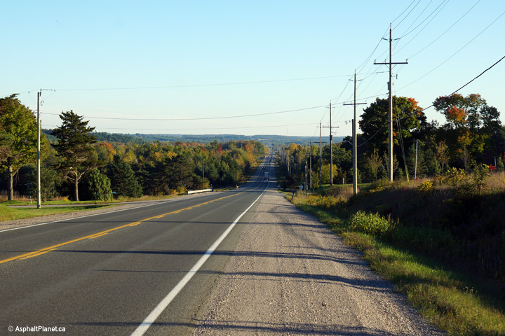
| Town of East Gwillimbury
Regional Municipality of York |
Southerly view along Highway 48 towards Mount
Albert from the Holborn Road intersection.
Photo taken: September 24th, 2014. |
(720x480)
(1440x960)
(2400x1600) |
| Town of East Gwillimbury
Regional Municipality of York |
This view looks northerly towards Sutton from
the Holborn Road intersection.
Photo taken: September 24th, 2014. |

(720x480)
(1440x960)
(2400x1600) |
| Town of Georgina Regional
Municipality of York |
This view looks southerly towards the Ravenshoe
Road intersection.
Photo taken: September 24th, 2014. |
(720x480)
(1440x960)
(2400x1600) |
| Town of Georgina Regional
Municipality of York |
Looking northerly through the small community of
Baldwin. Click here for an
additional photo taken from this vantage point in August, 2005. Photo
taken: September 24th, 2014. |
(720x480)
(1440x960)
(2400x1600) |
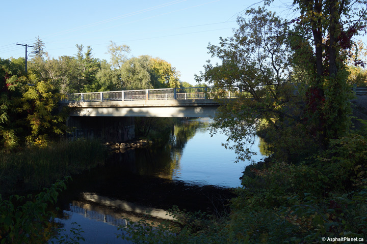
| Town of Georgina Regional
Municipality of York |
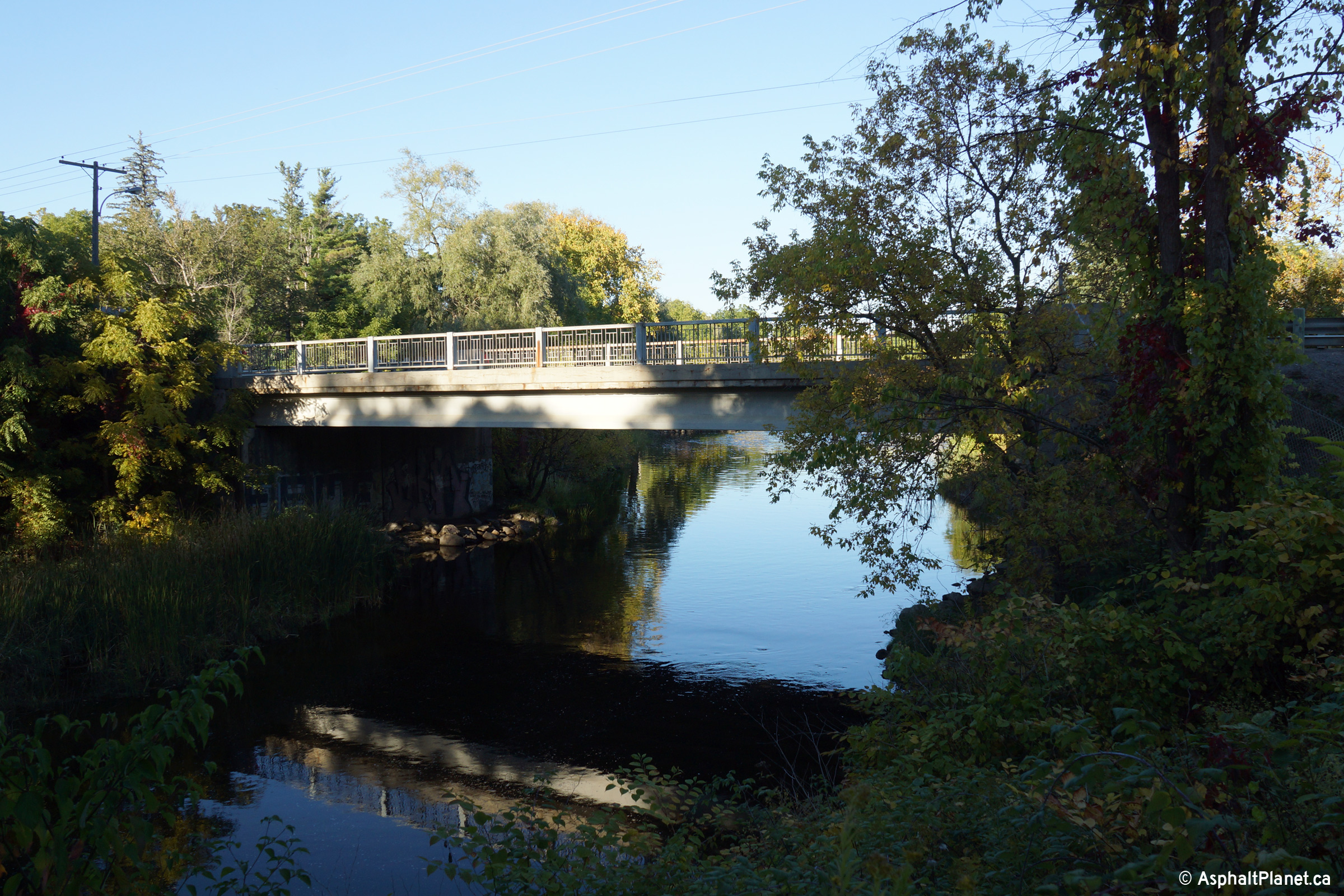
View looking easterly towards the western side
of the Black River Bridge in Baldwin.
Photo taken: September 24th, 2014. |
(720x480)
(1440x960)
(2400x1600) |
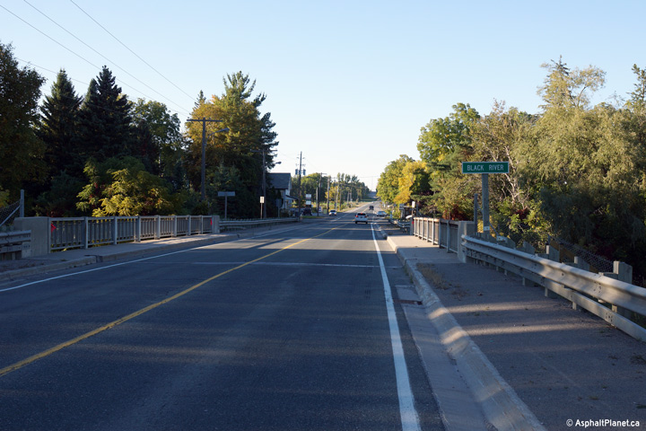
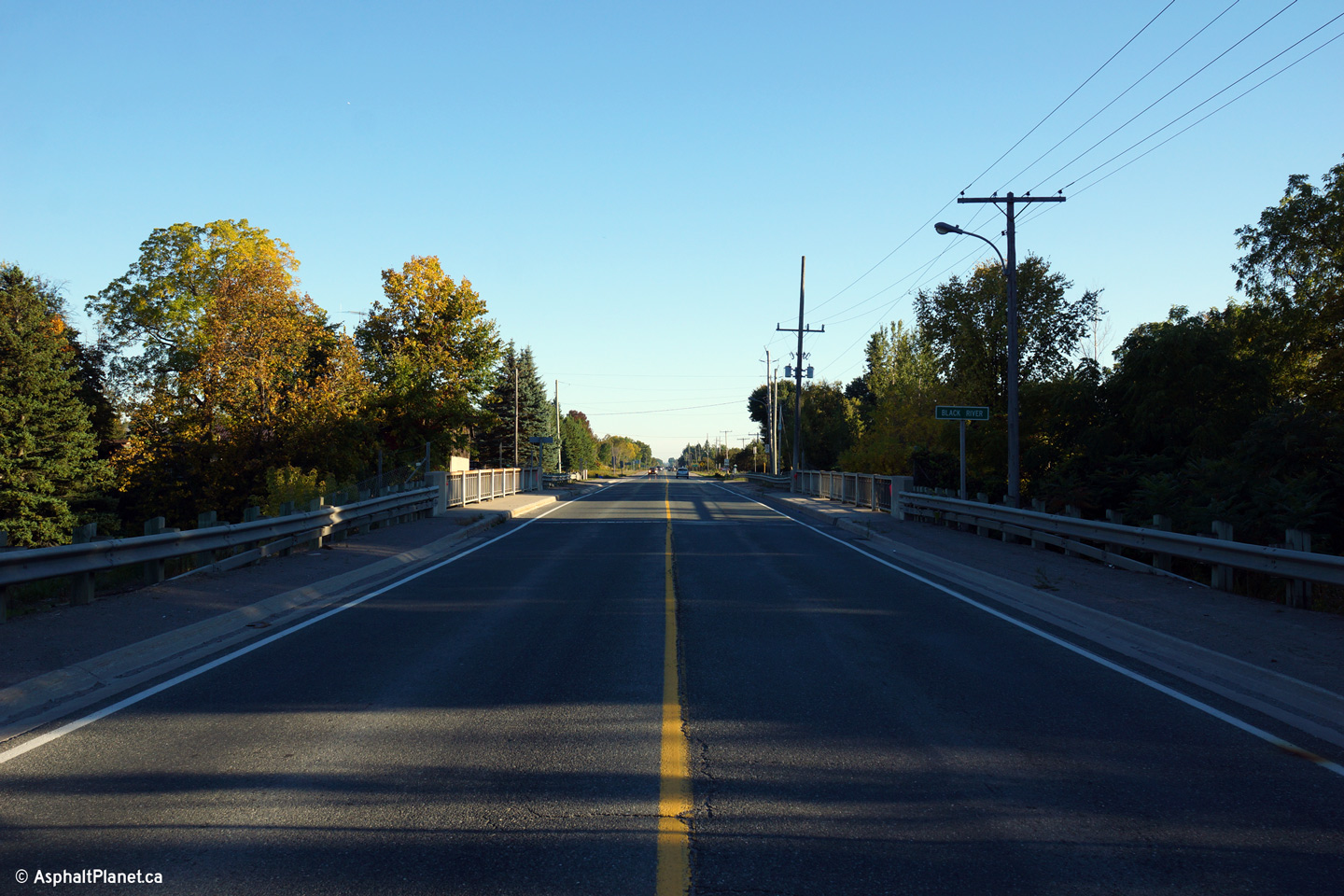
| Town of Georgina Regional
Municipality of York |
Southerly view through Baldwin across the Black
River Bridge.
Photo taken: September 24th, 2014. |
(720x480)
(1440x960)
(2400x1600) |
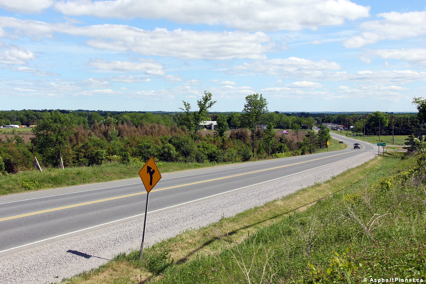
| Town of Georgina Regional
Municipality of York |
Southerly view along Highway 48 from south of
the Old Homestead Road intersection towards Baldwin.
Photo taken: May 31st, 2012. |
(720x480)
(1440x960)
(2400x1600) |
| Town of Georgina Regional
Municipality of York |
This view looks northerly towards the Old
Homestead Road intersection.
Photo taken: May 31st, 2012. |

(720x480)
(1440x960)
(2400x1600) |
| Town of Georgina Regional
Municipality of York |
Southerly view looking towards the Old Homestead
Road intersection.
Photo taken: May 31st, 2012. |
(720x480)
(1440x960)
(2400x1600) |
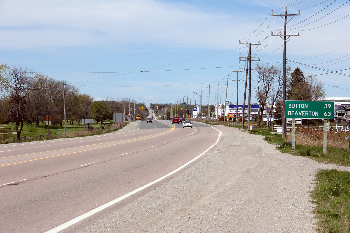
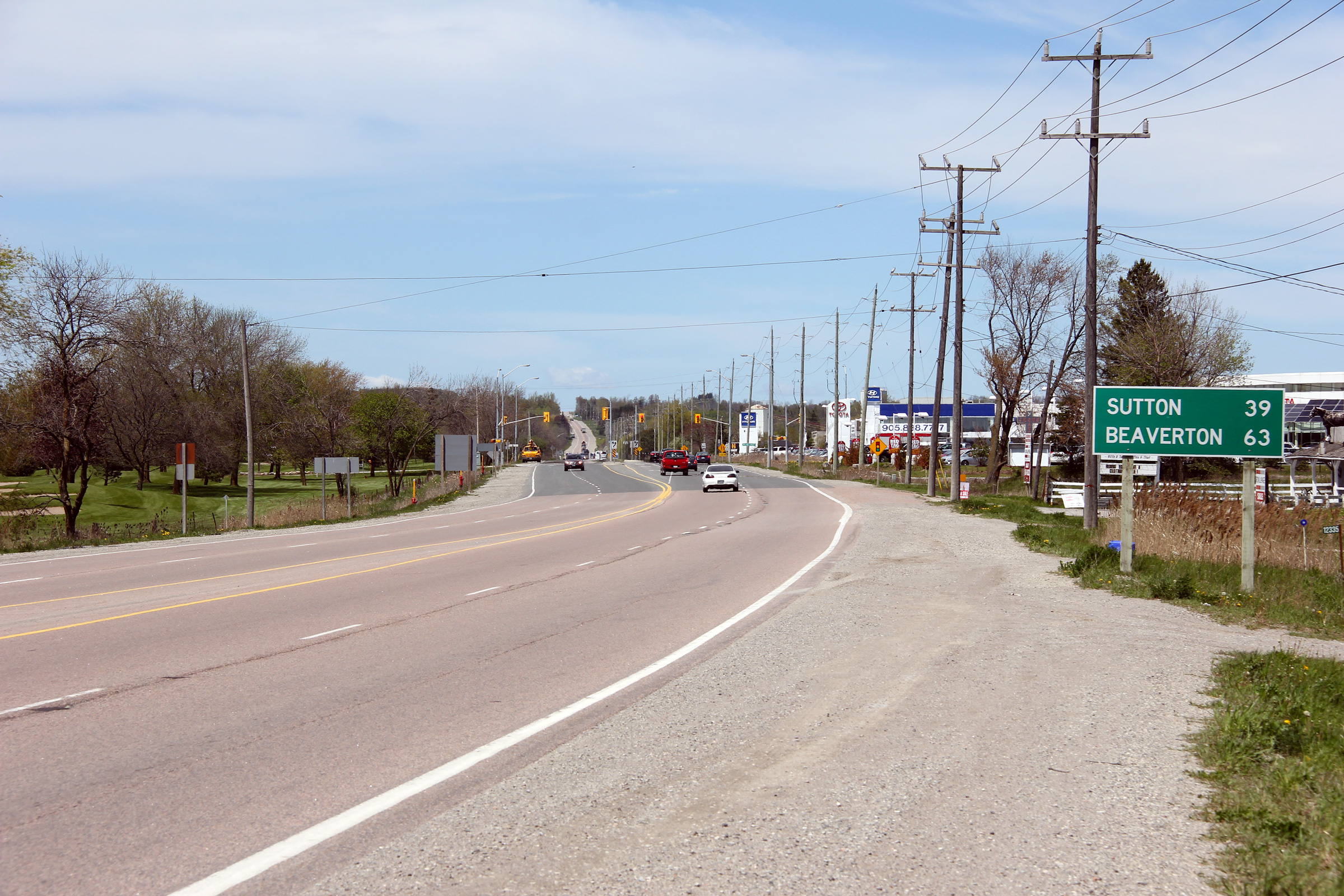
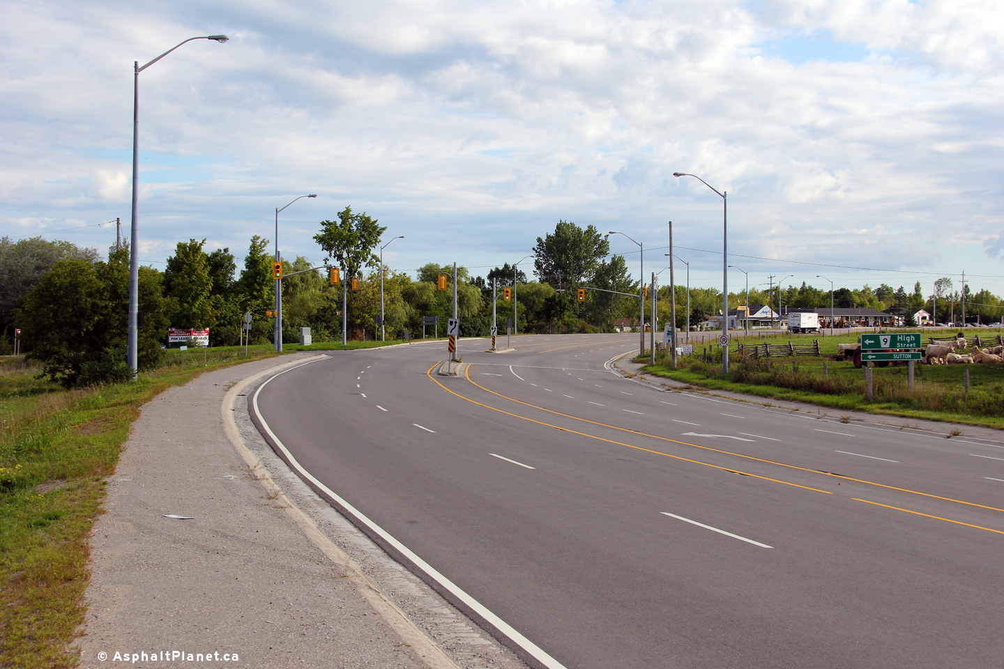
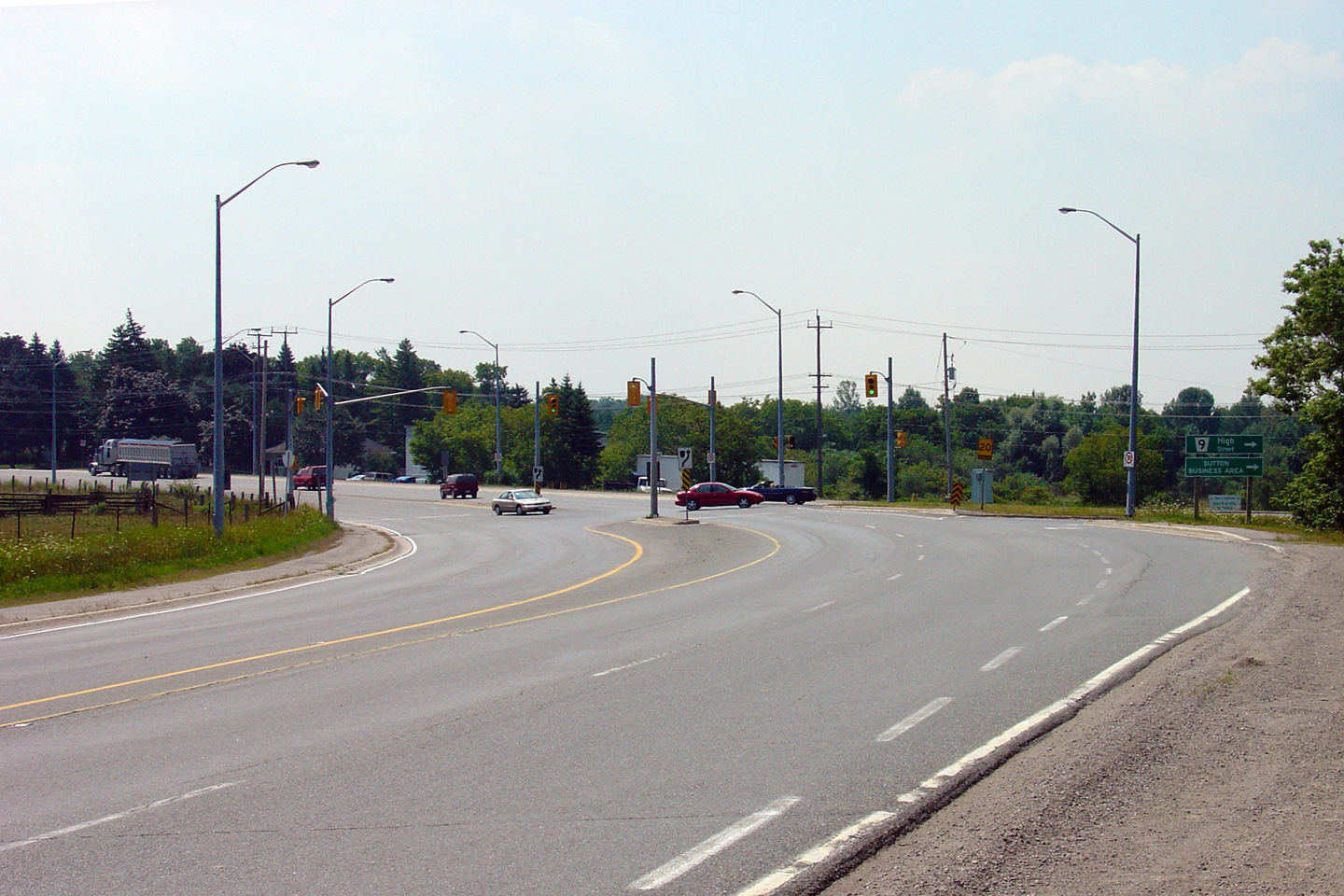
| Town of Georgina Regional
Municipality of York |
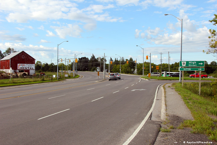
Looking north towards the High Street
intersection near Sutton. At this intersection, Highway 48 abruptly
curves to the east as the highway has finally reached Lake Simcoe on its
journey north from Toronto. Click
here for an additional photo
taken from this vantage point in August, 2005. Photo taken: August 21st,
2012. |
(720x480)
(1440x960)
(2400x1600) |
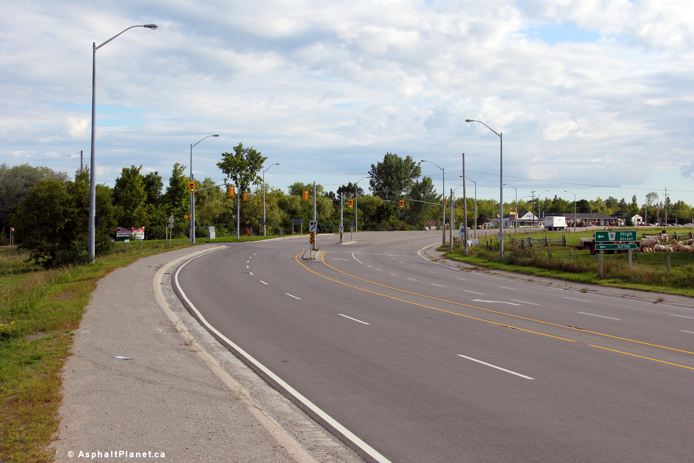
| Town of Georgina Regional
Municipality of York |
Looking southerly at the High Street intersection. High Street is the main
access to the community of Sutton from Highway 48. Click
here for an additional photo
taken from this vantage point in August, 2005. Photo taken: August 21st,
2012. |

(720x480)
(1440x960)
(2400x1600) |
| Town of Georgina Regional
Municipality of York |
Looking northbound (east) towards the Park Road
intersection. Park Road serves as an important access to the Lake
Simcoe cottage area near Sutton, as well as Sibbald Point Provincial Park.
Click here for an additional
photo taken from this vantage point in August, 2005.
Photo taken: May 31st, 2012. |
(720x480)
(1440x960)
(2400x1600) |
| Town of Georgina Regional
Municipality of York |
Looking southbound (west) towards the Park Road intersection. Click
here for an additional photo
taken from this vantage point in August, 2005.
Photo taken: May 31st, 2012. |

(720x480)
(1440x960)
(2400x1600) |
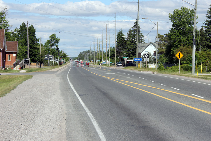
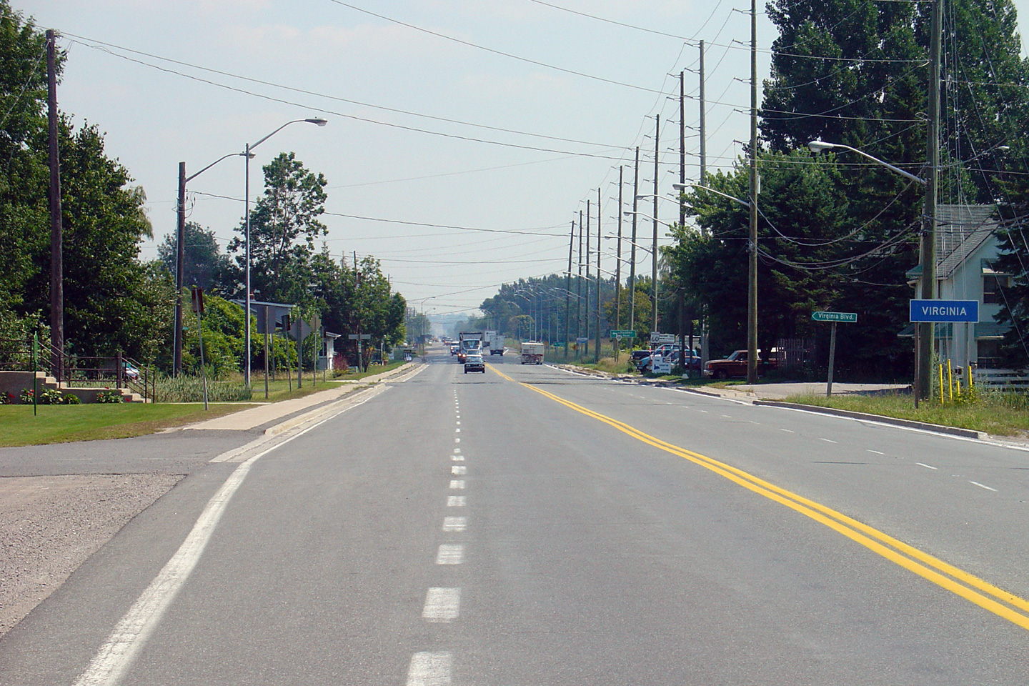
| Town of Georgina Regional
Municipality of York |
Looking northbound (east) through the community
of Virginia. The upper (2005) photo shows Highway 48 through Virginia when
it had a four-lane cross-section through the community. Sometime between
2005 and 2012, the four-lane segment was
re-striped to three lanes with a two-way centre left turn
lane. This practice of eliminating four-lane segments through
communities has become fairly common in the MTO's Central Region during the
past several years. Two four-lane segments were narrowed in favour of
turning lanes on neighbouring Highway 12 during this time period as well.
Upper photo taken: August 8th, 2005.
Lower photo taken: May 31st, 2012. |

(720x480)
(1440x960)
(2400x1600) |
| Town of Georgina Regional
Municipality of York |
Looking southbound (west) towards the signalized intersection with Pefferlaw
Road. This is one of the few signalized intersections along this
portion of Highway 48 that does not have a passing/queuing lane. Photo
taken: August 8th, 2005. |
(720x480)
(1440x960) |
| Town of Georgina Regional
Municipality of York |
This view looks northerly overtop of CN's
Pefferlaw Grade Separation along Highway 48.
Photo taken: May 31st, 2012. |
(720x480)
(1440x960)
(2400x1600) |
| Town of Georgina Regional
Municipality of York |
The northern side of the Pefferlaw Grade
Separation.
Photo taken: May 31st, 2012. |

(720x480)
(1440x960)
(2400x1600) |
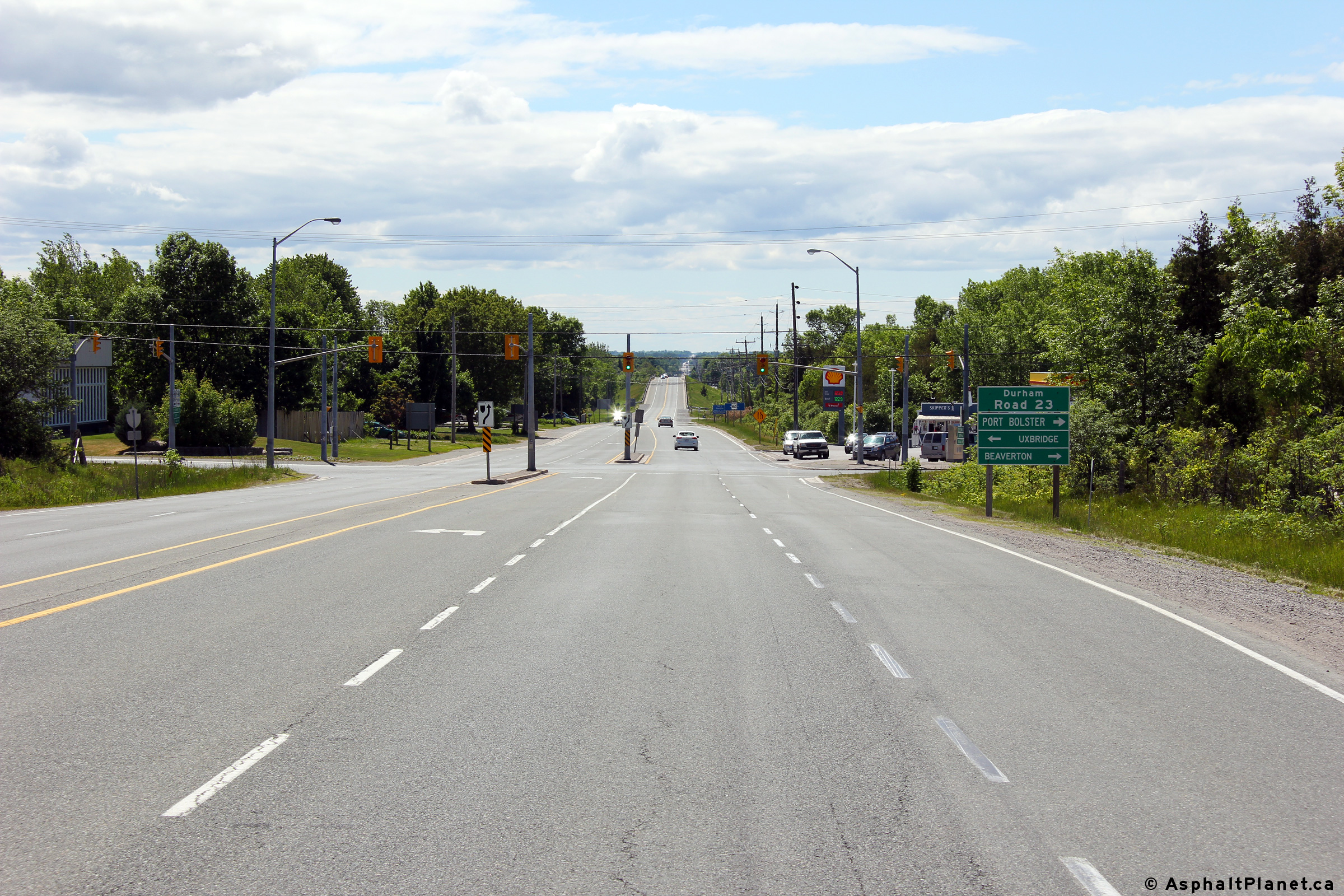
| Town of Georgina Regional
Municipality of York |
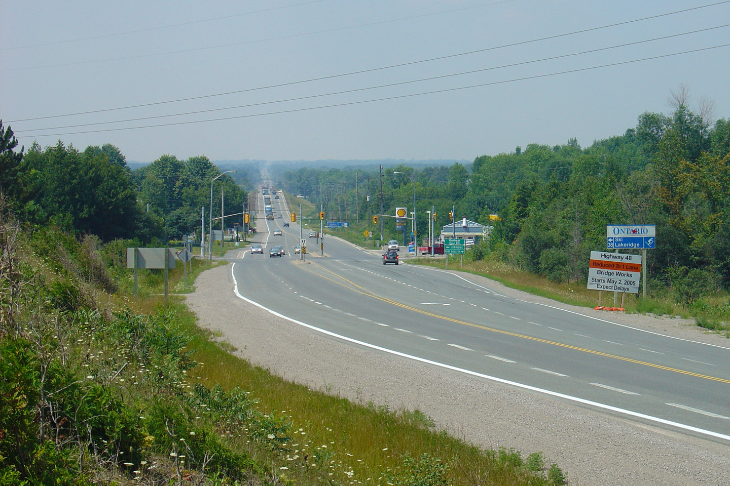
Looking northbound (east) from the CNR towards
the Lake Ridge Road intersection. Interestingly, before the Beaverton
By-pass opened in 1966, Highway 48 followed the alignment of today's Durham
Road 23 (Lake Ridge Road), northerly into Beaverton, where it met Highway 12 in
downtown. Click here for an additional photo
taken from this vantage point in August, 2005.
Photo taken: August 8th, 2005. |

(720x480)
(1440x960)
(2400x1600) |
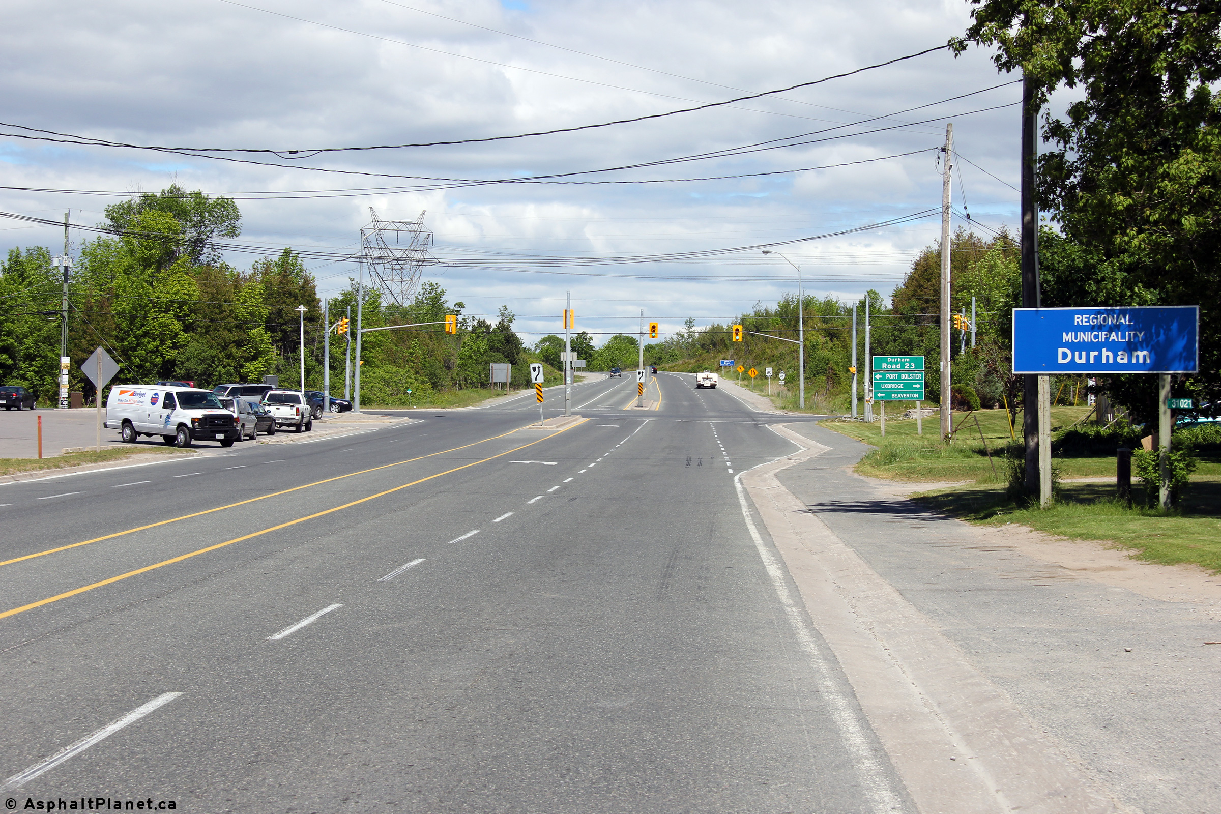
| Town of Georgina Regional
Municipality of York |
Northbound view approaching the Lake Ridge Road
intersection. Lake Ridge Road follows the border between the Region's
of York and Durham.
Photo taken: May 31st, 2012. |
(720x480)
(1440x960)
(2400x1600) |
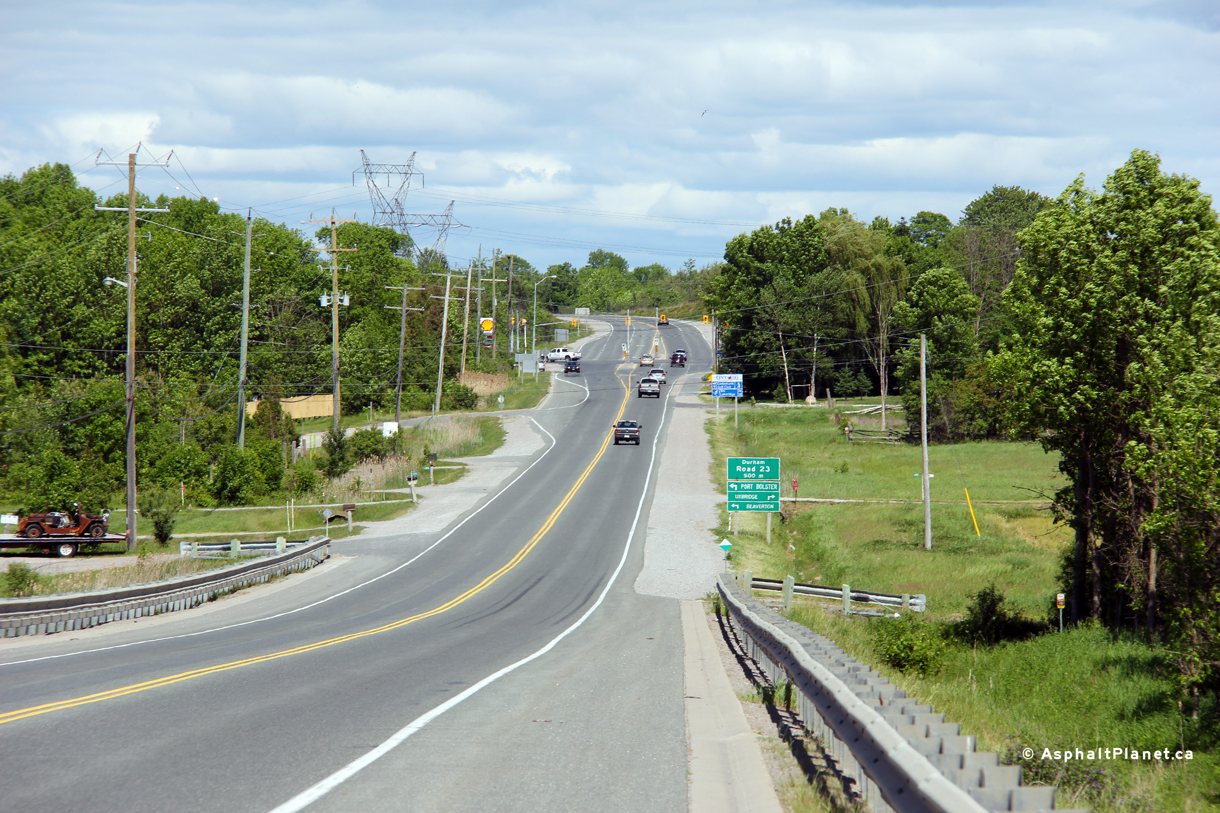
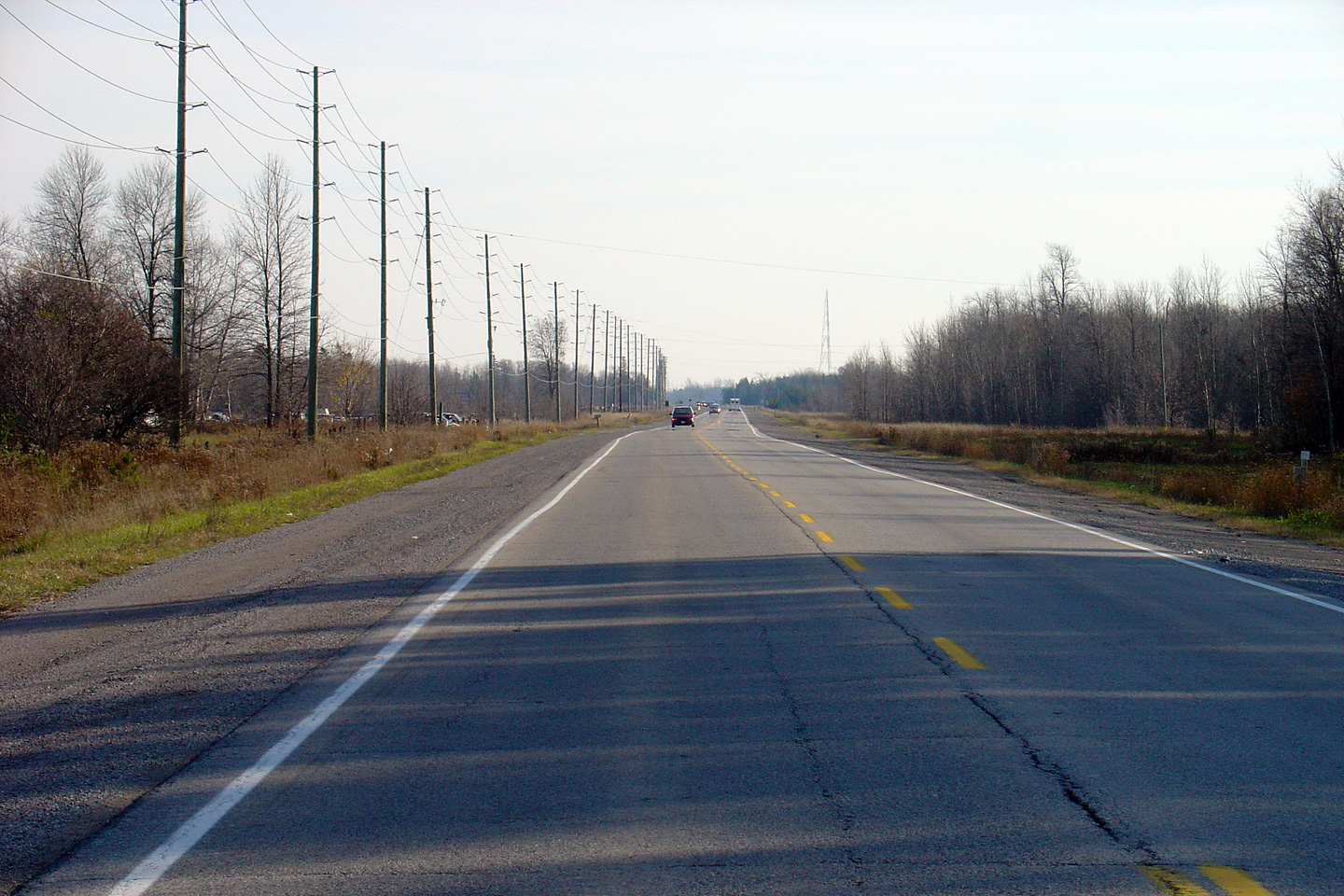
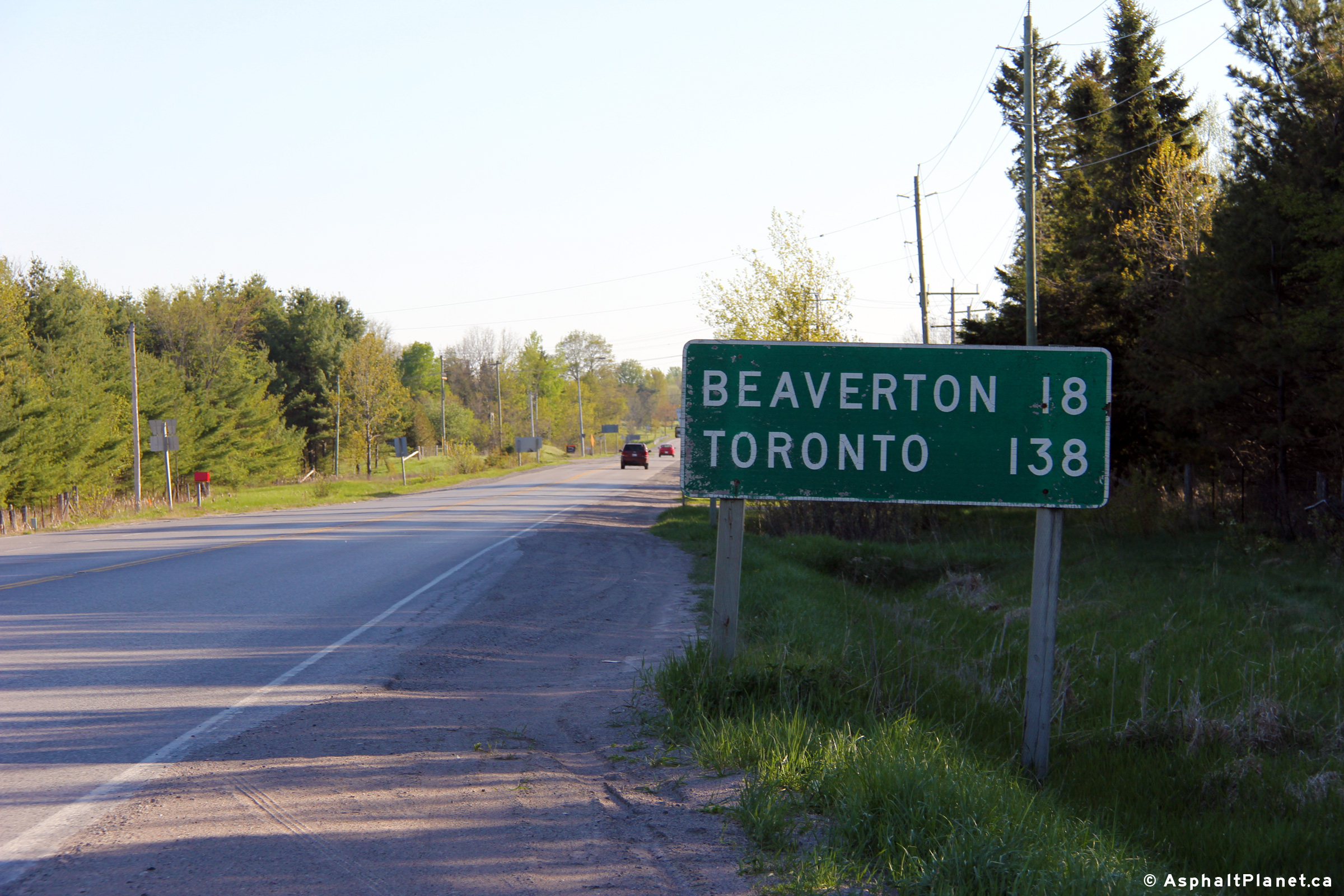
| Township of Brock Regional
Municipality of Durham |
Looking southbound (west) along Highway 48
towards the Lake Ridge Road junction. Click
here for an additional photo
taken from this vantage point in August, 2005. Photo taken: August 8th, 2005. |

(720x480)
(1440x960)
(2400x1600)
(720x480)
(1440x960)
(2400x1600) |
| Township of Brock Regional
Municipality of Durham |
Looking northbound (east) along Highway 48 towards the Brock Road 17
intersection. Interestingly, Brock Road 17 is the original alignment
of Highway 12 into Beaverton. This
situation lasted until the Beaverton Bypass was completed in November 1966
around the east side of Beaverton.
Photo taken: August 8th, 2005. |
 |
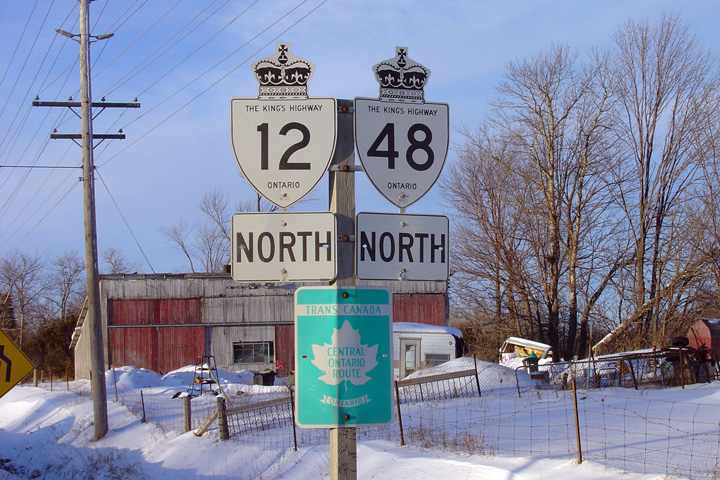
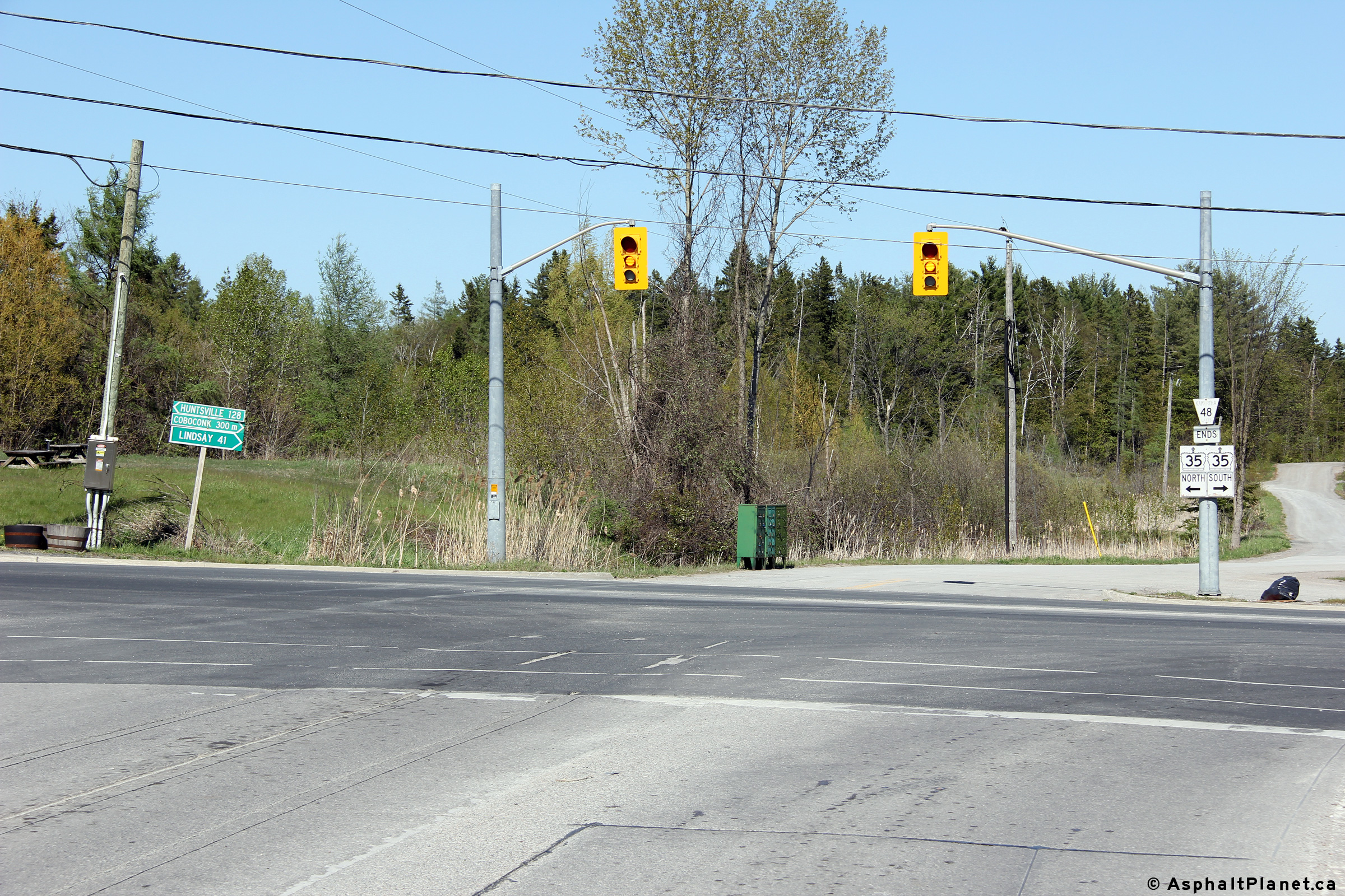
| Township of Brock Regional
Municipality of Durham |
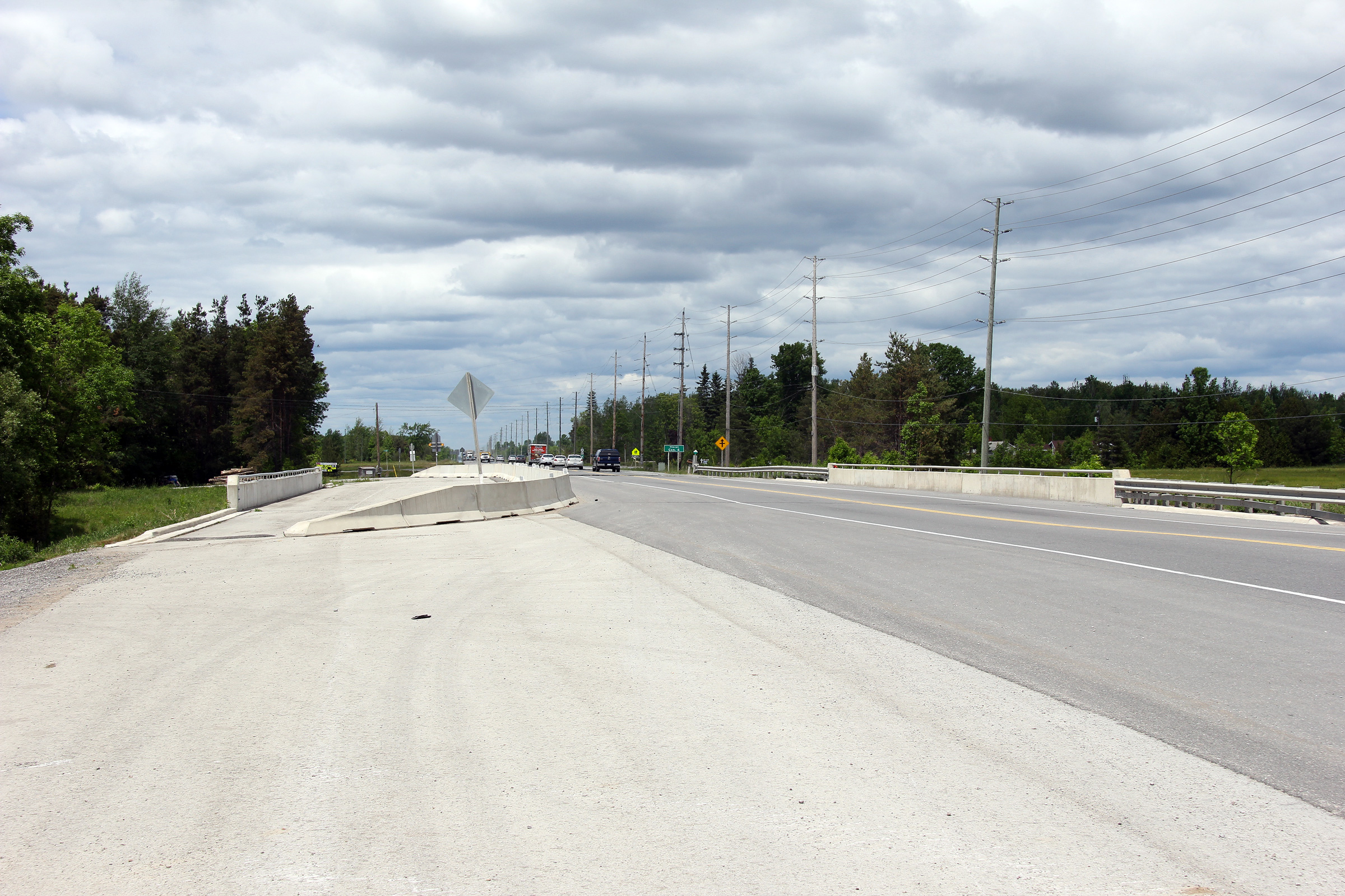
Looking northbound (east) along Highway 48
towards the Highway 12 junction. Since
1998, this junction has marked the northern terminus of Highway 48.
Prior to 1998, Highway 48 continued northerly concurrent with Highway 12
towards Highway 35 at Coboconk. Click
here for an additional photo
taken from this vantage point in June, 2005.
Photo taken: April 22nd, 2013. |
(720x480)
(1440x960)
(2400x1600) |
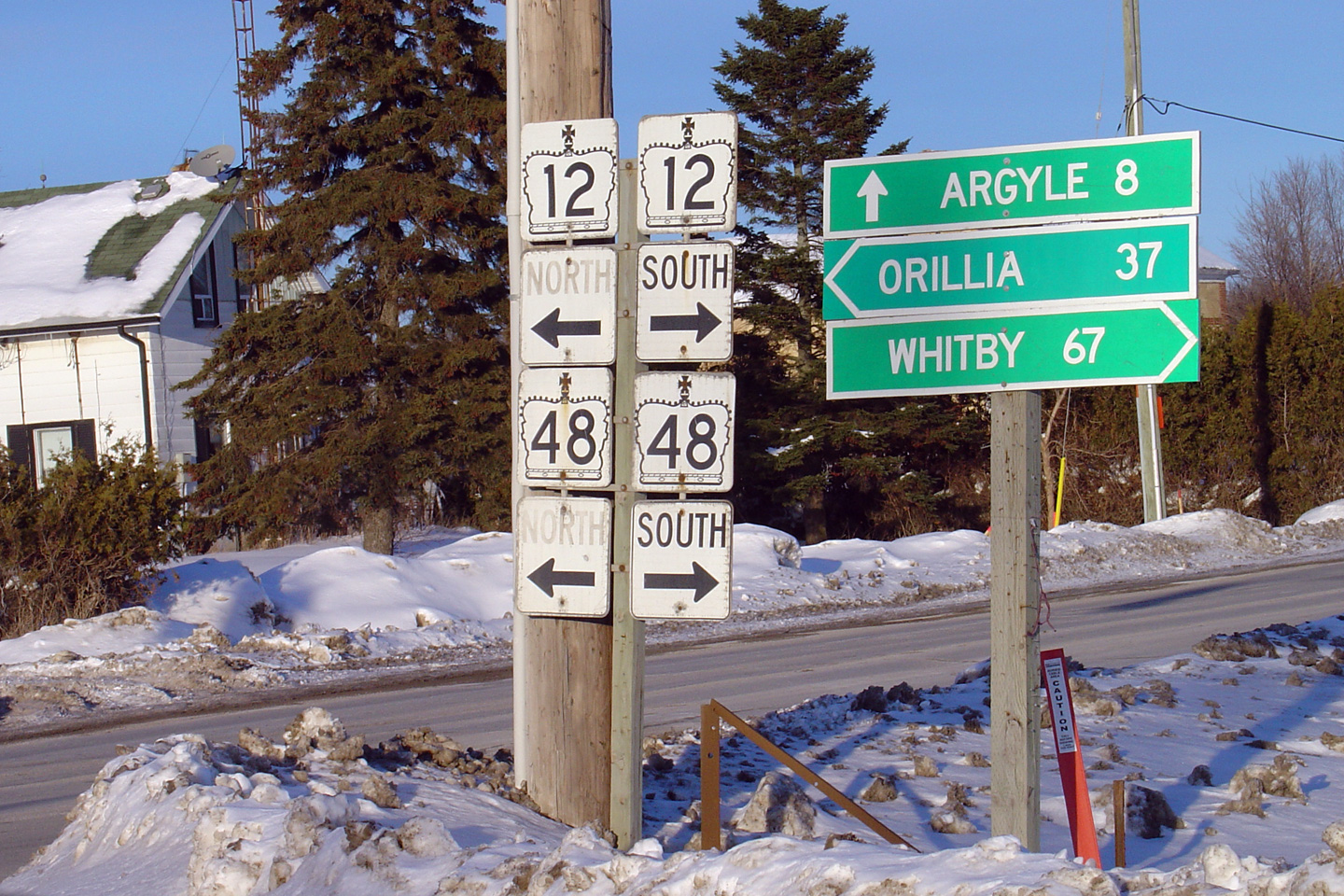
| Township of Brock Regional
Municipality of Durham |
Signage that stood at the southern Highway 12
junction. This signage was removed in 2004.
Photo taken: February 8th, 2004. |
|
|
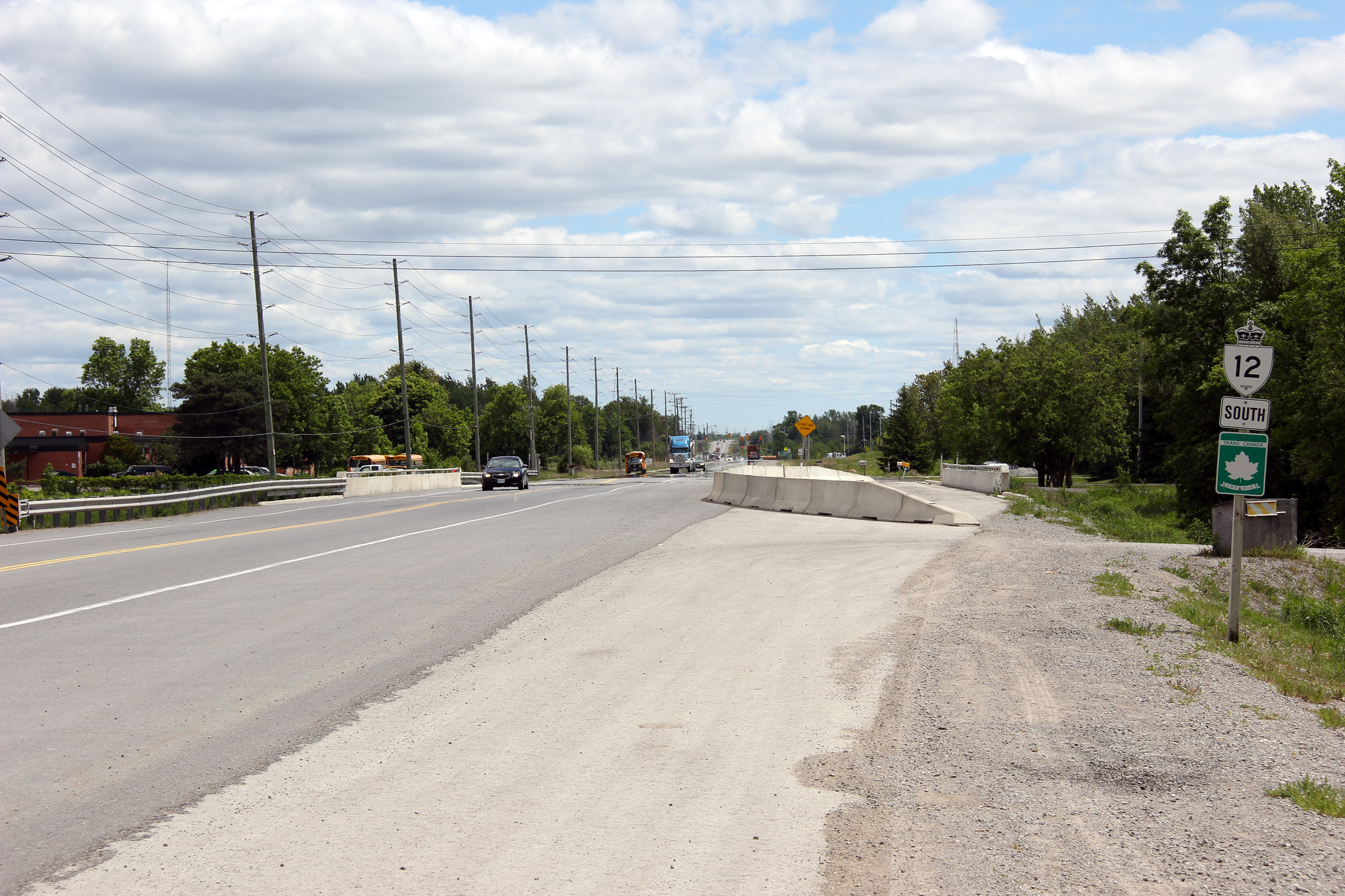
South of Highway 48, Highway 12 leads traffic
towards Whitby. Click here for Highway
12-South images. |
| Township of Brock Regional
Municipality of Durham |
View looking south towards the Highway 48-South
junction along Highway 12.
Photo taken: July 13th, 2006. |
(720x480)
(1440x960) |
| Township of Brock Regional
Municipality of Durham |
Green sign for Highway 48 sitting in front of a
very dated light fixture.
Photo taken: July 13th, 2006. |
 (720x480) (720x480)
(1440x960) |
| Township of Brock Regional
Municipality of Durham |
The shield assembly on Highway 12 for the
southern split of Highway 12/48. Highway 48
leads southbound travelers towards Sutton and eventually Markham and
Toronto. Photo taken: July 13th, 2006. |
 (720x480) (720x480)
(1440x960) |
| Township of Brock Regional
Municipality of Durham |
Looking south from Thorah Concession 3.
The Beaverton By-pass was completed during the mid 1960s as part of a series
of projects to improve the Central Ontario Route of the Trans-Canada
Highway.
Photo taken: July 13th, 2006 |
(720x480)
(1440x960) |
| Township of Brock Regional
Municipality of Durham |
Looking north along Highway 12 from Concession
Road 4.
Photo taken: July 13th, 2006 |
(720x480)
(1440x960) |
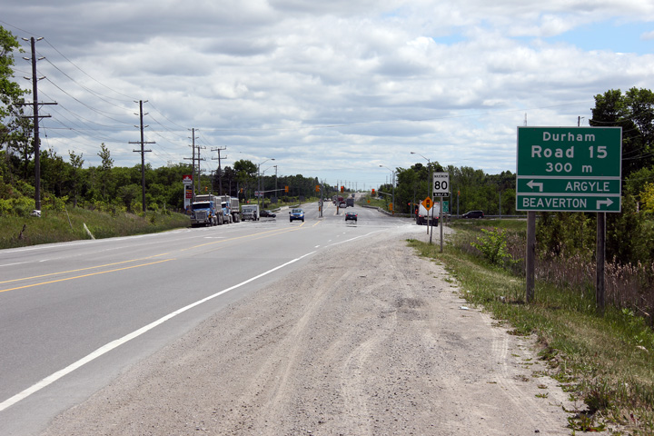
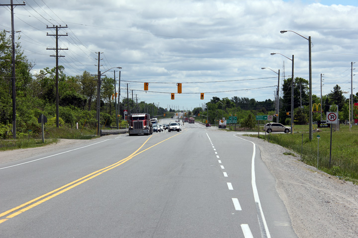
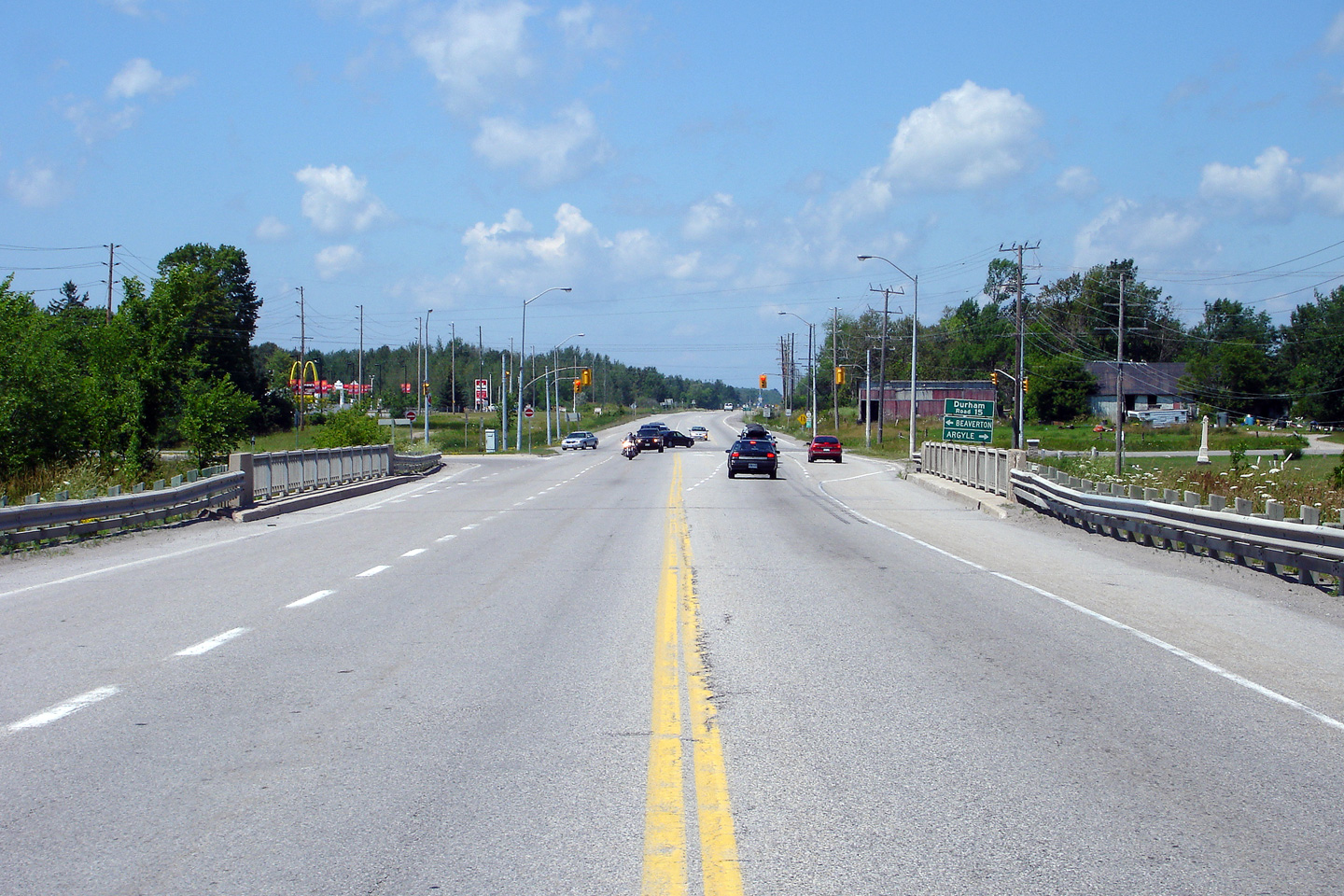
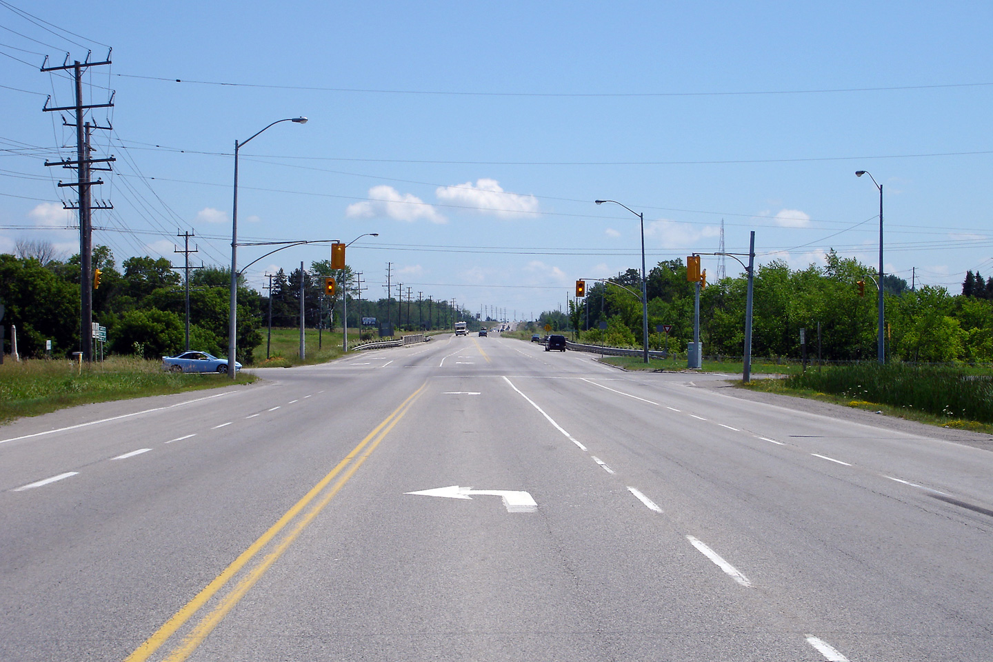
| Township of Brock Regional
Municipality of Durham |
Northerly view along Highway 12(/48) as the
highway nears the Durham Road 15 junction. As is Photod in the photo
comparison, work started in 2006 to widen Highway 12 to four lanes in the
vicinity of the Durham Road 15 intersection. This brief four lane
section has greatly improved traffic operations along this busy stretch of
highway.
Upper photo taken: July 13th, 2006.
Lower photos taken: May 31st, 2012. |
(720x480)
(1440x960)
(2400x1600)
(720x480)
(1440x960)
(2400x1600) |
Township of Brock
Regional Municipality of Durham |
Old junction tab in advance of
the Highway 12(/48) junction on Durham Road 15 approaching Beaverton.
This sign no longer stands.
Photo taken: November 6th, 2004. |
(720x480)
(1440x960) |
| Township of Brock Regional
Municipality of Durham |
This former Highway 12/48
junction assembly stood at the intersection of Durham Road 15. It was
removed sometime in 2004.
Photo taken: February 8th, 2004. |
|
| Township of Brock Regional
Municipality of Durham |
Former northbound assembly for Highway 12/48
that was located just north of the Durham Road 15 intersection. As
with the preceding sign assembly. the Highway 48 reassurance marker was
removed from this signage assembly early in 2004.
Photo taken: February 8th, 2004. |
|
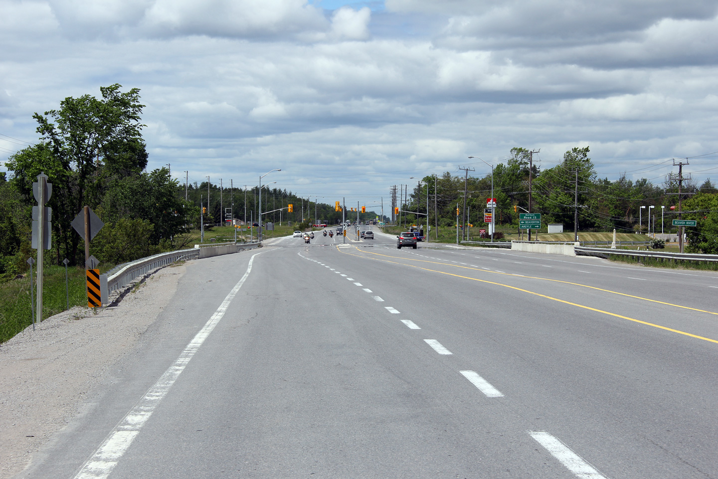
| Township of Brock Regional
Municipality of Durham |
View looking south towards Durham Road 15.
The upper photo shows an excellent example of a 1960s era traffic signal.
For example, notice the vintage traffic signal mast arms at the
intersection.
Photo taken: July 13th, 2006 |

(720x480)
(1440x960)
(2400x1600) |
| Township of Brock Regional
Municipality of Durham |
Southbound signage approaching the signalized
intersection with Durham Road 15. The gravel shoulders of Highway 12
have become popular with truckers parking to use one of the adjacent fast
food restaurants. Highway 12 sees a high volume of trucks.
Photo taken: May 31st, 2012. |
(720x480)
(1440x960)
(2400x1600) |
| Township of Brock Regional
Municipality of Durham |
This view looks southerly towards the
intersection with Beaver Avenue. Several fast food restaurants and gas
stations have been constructed adjacent to Highway 12 along the Beaverton
By-pass. Instead of directly fronting along Highway 12, access to several businesses is provided via Beaver Avenue.
Photo taken: May 31st, 2012. |

(720x480)
(1440x960)
(2400x1600) |
| Township of Brock Regional
Municipality of Durham |
View looking northerly along Highway 12 as it
crosses White Creek.
Photo taken: May 31st, 2012. |
(720x480)
(1440x960)
(2400x1600) |
| Township of Brock Regional
Municipality of Durham |
Two views southerly across the White Creek
bridge. The White Creek bridge was widened in 2006 in advance of
Highway 12 being widened to four lanes around Beaverton. Obviously (as
of 2012), the four lane highway has yet to come to fruition.
Photos taken: May 31st, 2012. |
(720x480)
(1440x960)
(2400x1600)

(720x480)
(1440x960)
(2400x1600) |
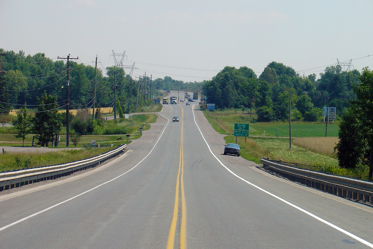
| Township of Brock Regional
Municipality of Durham |
Looking south along Highway 12/48
from just south of the Durham Road 23 intersection. From Durham Road
23 southerly to the south Highway 48
junction Highway 12/48 by-passes Beaverton
to the east. The Beaverton Bypass was first opened to traffic in
November 1966.
Photo taken: November 6th, 2004. |
(720x480)
(1440x960) |
| Township of Brock Regional
Municipality of Durham |
View looking north towards the Durham Road 23
intersection. Intersection improvements were completed at this
intersection in 2002 which included the widening to 4-lanes and traffic
signal installation. Photo taken: November 6th, 2004. |
(720x480)
(1440x960) |
| Township of Brock Regional
Municipality of Durham |
Looking north from the central median of the
Durham Road 23 intersection towards Orillia. Photo taken: November 6th,
2004. |
(720x480)
(1440x960) |
| Township of Brock Regional
Municipality of Durham |
Two northerly views approaching the eastern leg
of Highway 48 north of Beaverton. The Regional Municipality of Durham
designated all of the former highway mileage that it inherited from the
province during the 1990s as Regional Highways. The highways were
numbered as such, in an effort to maintain
continuity within Durham's existing regional numbering scheme. With
the exception of Highway 48, all other highways transferred to the Region of
Durham during the 1990s already had duplicate numbers in the pre-existing
regional road network. Numbering the inherited highways as Regional
Highways proved to be a fairly ingenious solution to maintaining the former
highway numbers without having to renumber existing regional roads.
Photos taken: July 11th, 2014. |
(720x480)
(1440x960)
(2400x1600)

(720x480)
(1440x960)
(2400x1600) |
|
North of Highway 48, Highway 12 leads traffic
towards Orillia. Click here for Highway
12-North images. |
Township of Brock
Regional Municipality of Durham |
View looking westerly along Highway 48
approaching the northern Highway 48 intersection. |
(720x480)
(1440x960)
(2400x1600) |
Township of Brock
Regional Municipality of Durham |
View looking easterly approaching the Simcoe
Street intersection. Simcoe Street marks the boundary between the
Regional Municipality of Durham and the City of Kawartha Lakes.
Photo taken: August 24th, 2014. |
(720x480)
(1440x960)
(2400x1600) |
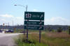
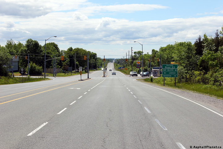
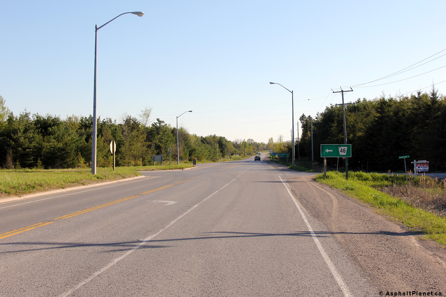
| City of Kawartha Lakes |
Distance signage situated immediately west of
the Highway 46 intersection.
Photo taken: May 5th, 2012. |
 (720x480) (720x480)
(1440x960)
(2400x1600) |
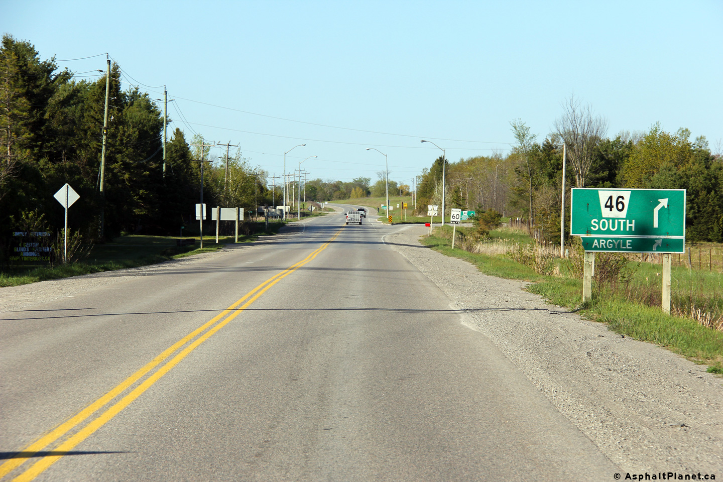
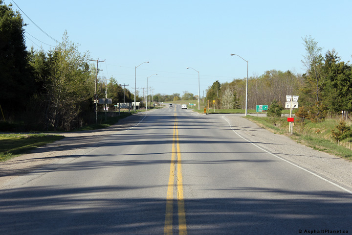
| City of Kawartha Lakes |
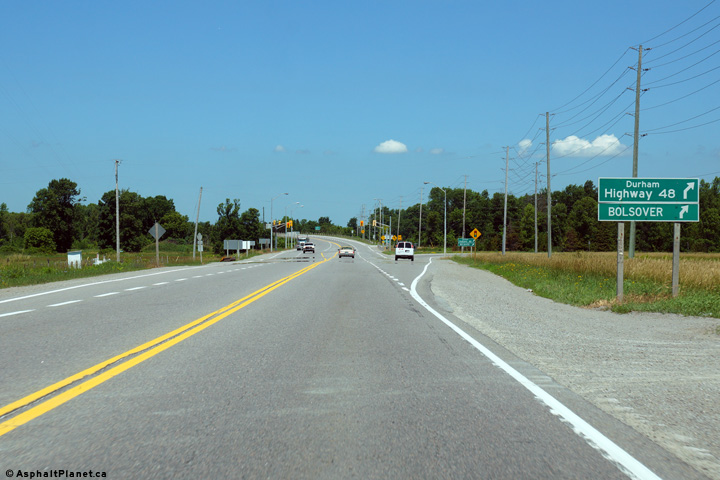
Two views looking easterly along Highway 48
approaching the Highway 46 intersection. Highway 46 was transferred to the
then County of Victoria in 1997, and was one of the more logical highway
transfers that took place during the Harris era of highway transfers.
Photo taken: May 5th, 2012. |

(720x480)
(1440x960)
(2400x1600)

(720x480)
(1440x960)
(2400x1600) |
|
Highway 46 ran southerly from
Highway 48 to Highway 7 via Woodville. Click here for Highway
46 images. |
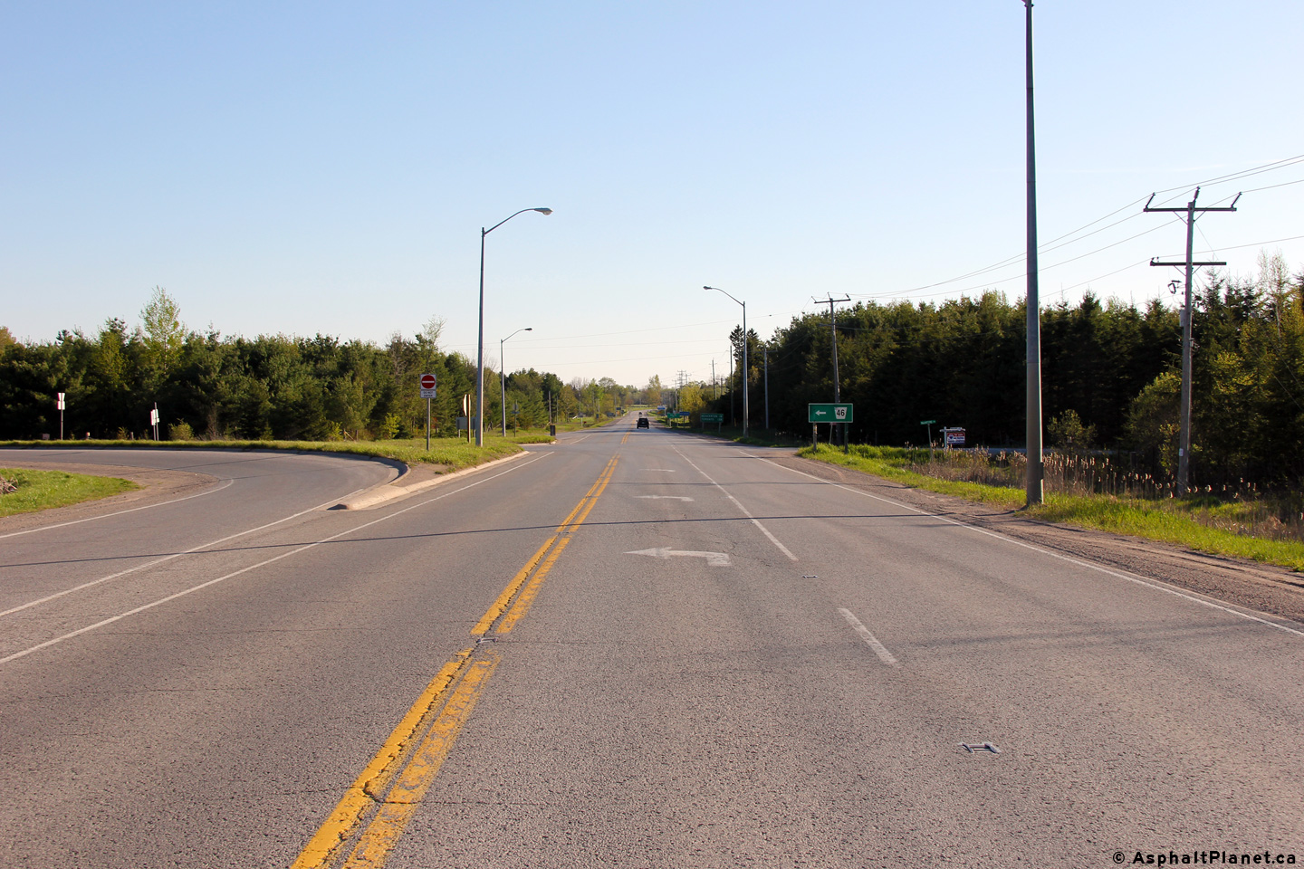
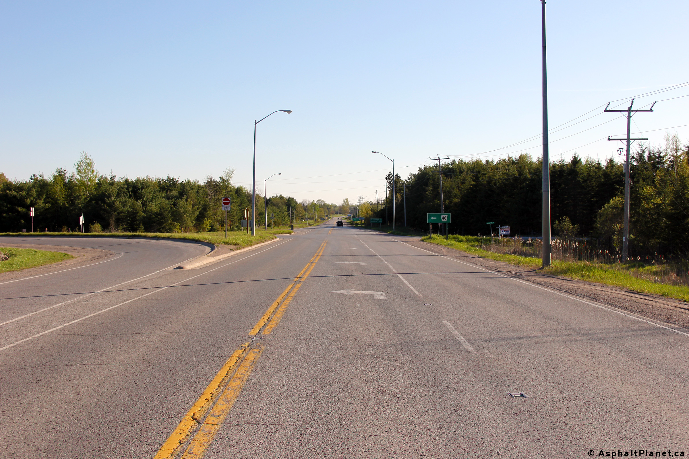
| City of Kawartha Lakes |
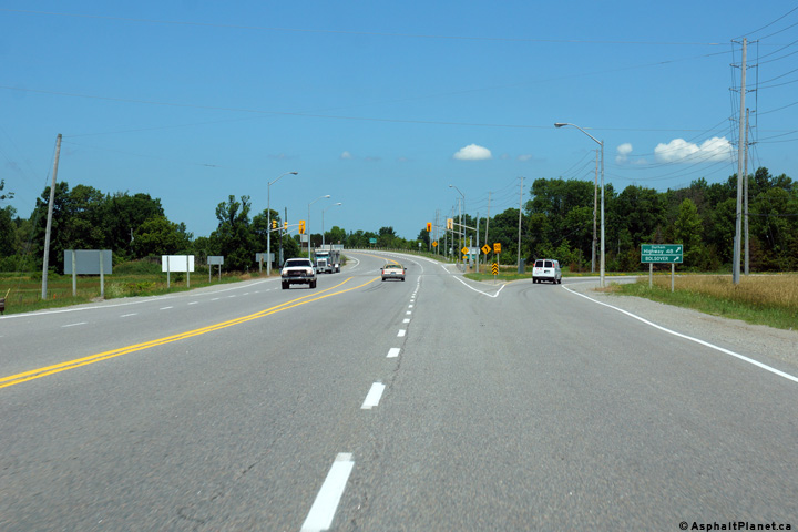
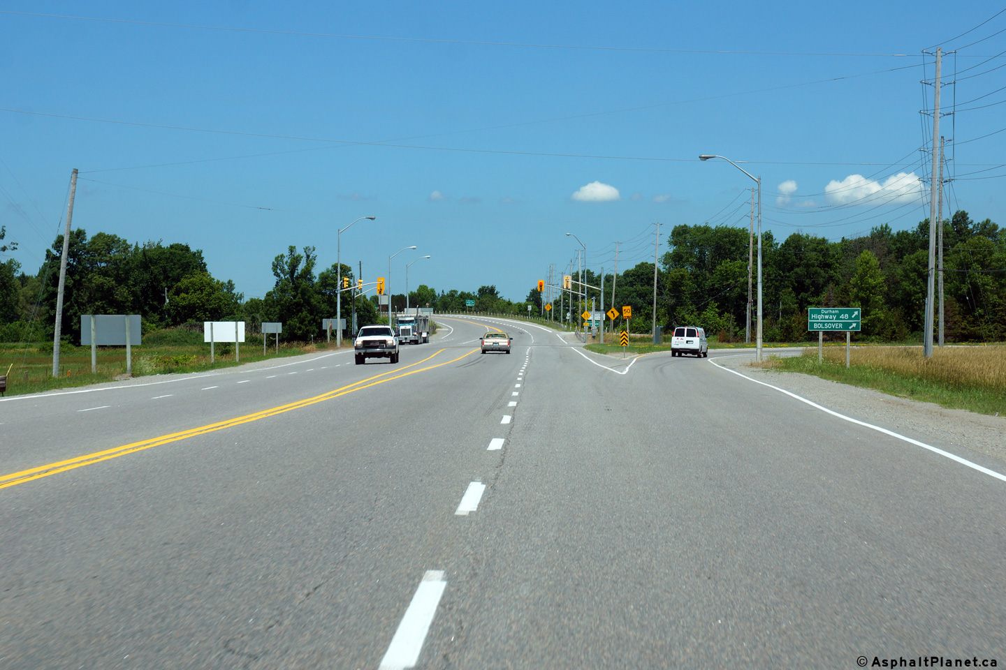
Two views looking westerly along Highway 48
towards the Highway 46 intersection.
Photos taken: May 5th, 2012. |
(720x480)
(1440x960)
(2400x1600)
(720x480)
(1440x960)
(2400x1600) |
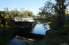
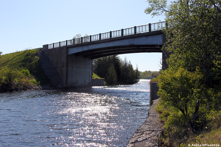
| City of Kawartha Lakes |
View looking easterly across the high level
structure that carries Highway 48 overtop of the Trent-Severn Canal.
Photo taken: May 5th, 2012. |

(720x480)
(1440x960)
(2400x1600) |
| City of Kawartha Lakes |
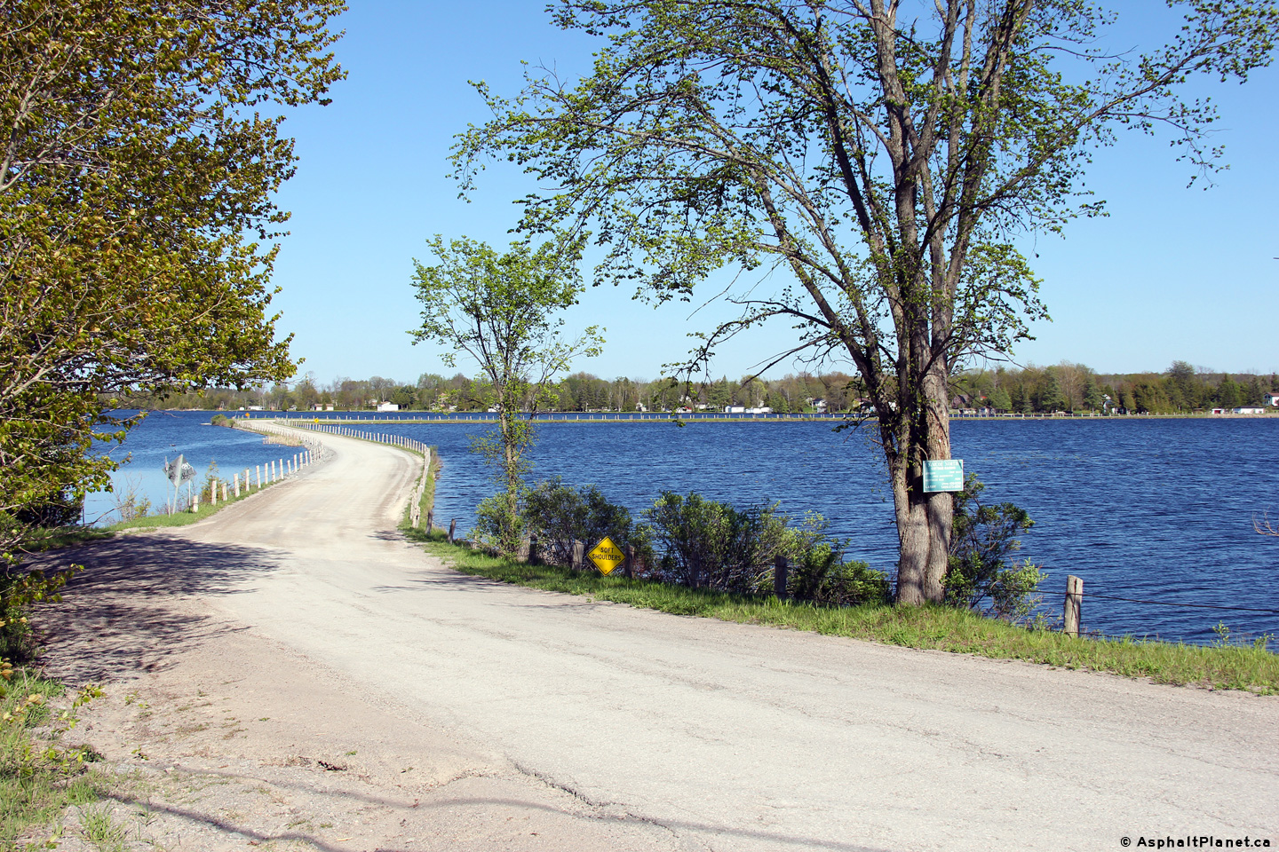
View looking easterly along the former alignment
of Highway 48 (then Highway 46) overtop of the Trent-Severn Canal. At
right is Kawartha Lakes Road 3,
which crosses Mitchell Lake via an interesting
low level causeway.
Photo taken: May 5th, 2012. |
(720x480)
(1440x960)
(2400x1600) |
| City of Kawartha Lakes |
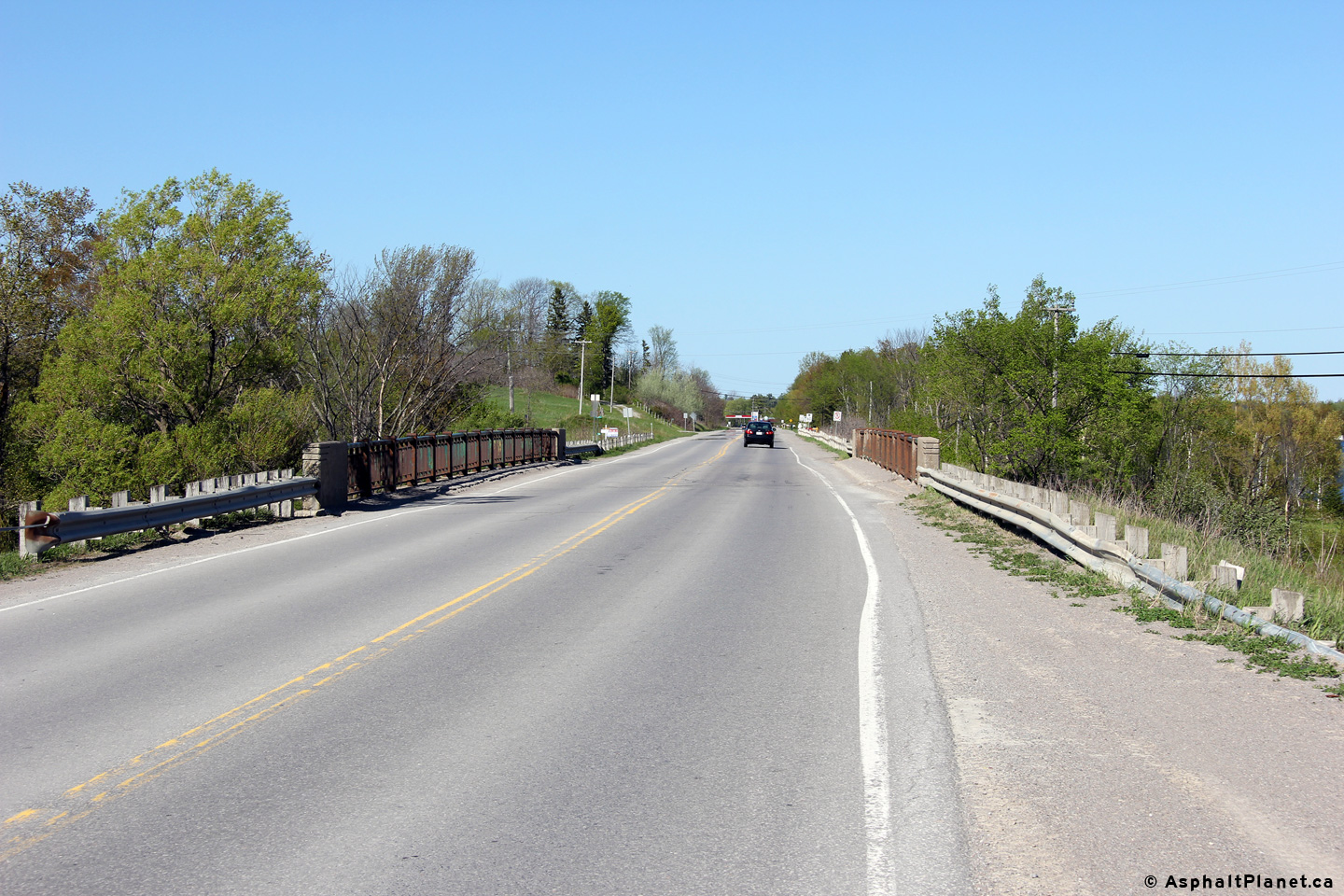
Southerly view towards the Highway 48 bridge
over the Trent-Severn Waterway. This structure is indicative of its
1950s era design and construction.
Photo taken: May 5th, 2012. |
(720x480)
(1440x960)
(2400x1600) |
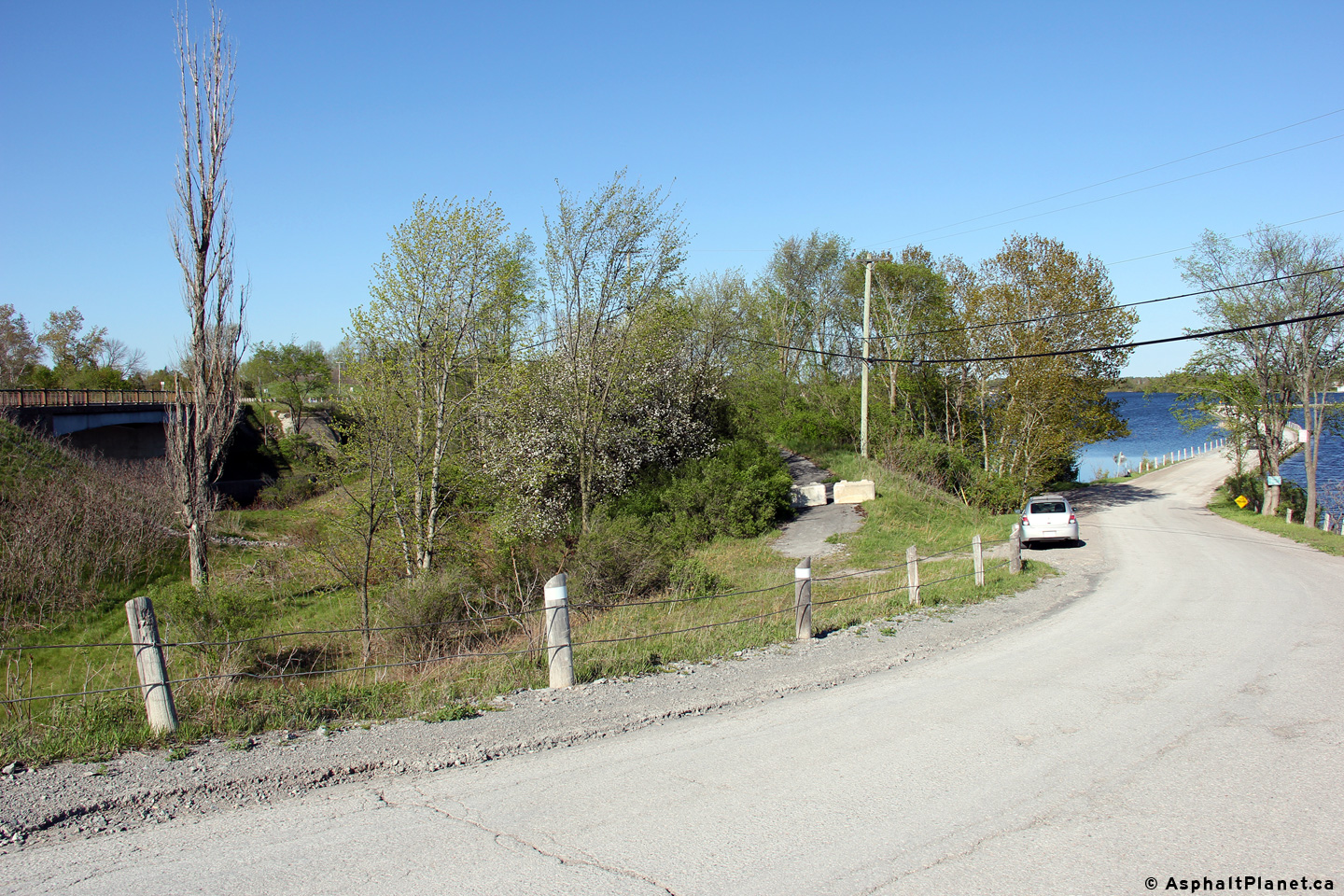
| City of Kawartha Lakes |
This view looks northerly towards the high-level
bridge that carries Highway 48 overtop of the Trent-Severn Waterway.
Photo taken: May 5th, 2012. |
(720x480)
(1440x960)
(2400x1600) |
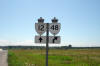
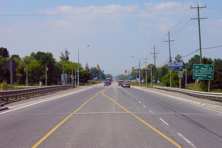
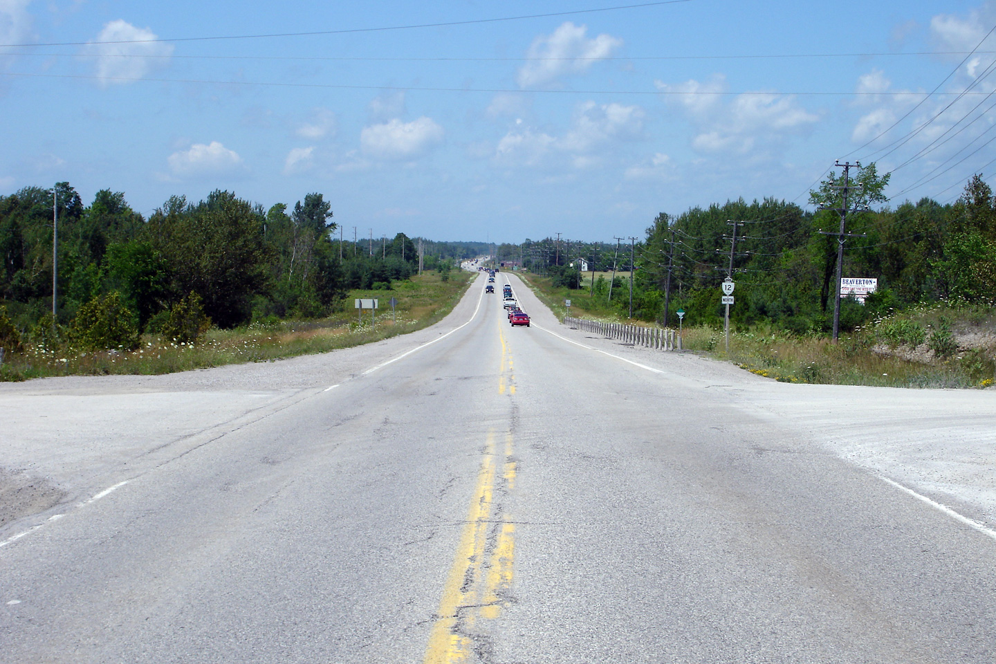
| City of Kawartha Lakes |
Westerly view along Highway 48 from just west of
the Highway 35 intersection. Photo taken: May 5th, 2012. |
 (720x480) (720x480)
(1440x960)
(2400x1600) |
| City of Kawartha Lakes |
Signage at the eastern terminus of Highway 48 at
Highway 35 in Coboconk. Photo taken: May 5th, 2012. |
 (720x480) (720x480)
(1440x960)
(2400x1600) |
|
Highway 35 runs north-south
between Highway 401 at Newcastle and Highway 60 at Dwight.
Click here for Highway
35 images. |


 (720x480)
 (720x480)
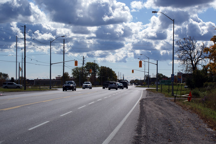


 (720x480)
 (720x480)
 (720x480)
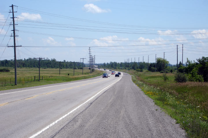


 (720x480)
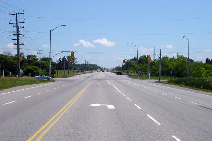


 (720x480)


 (720x480)
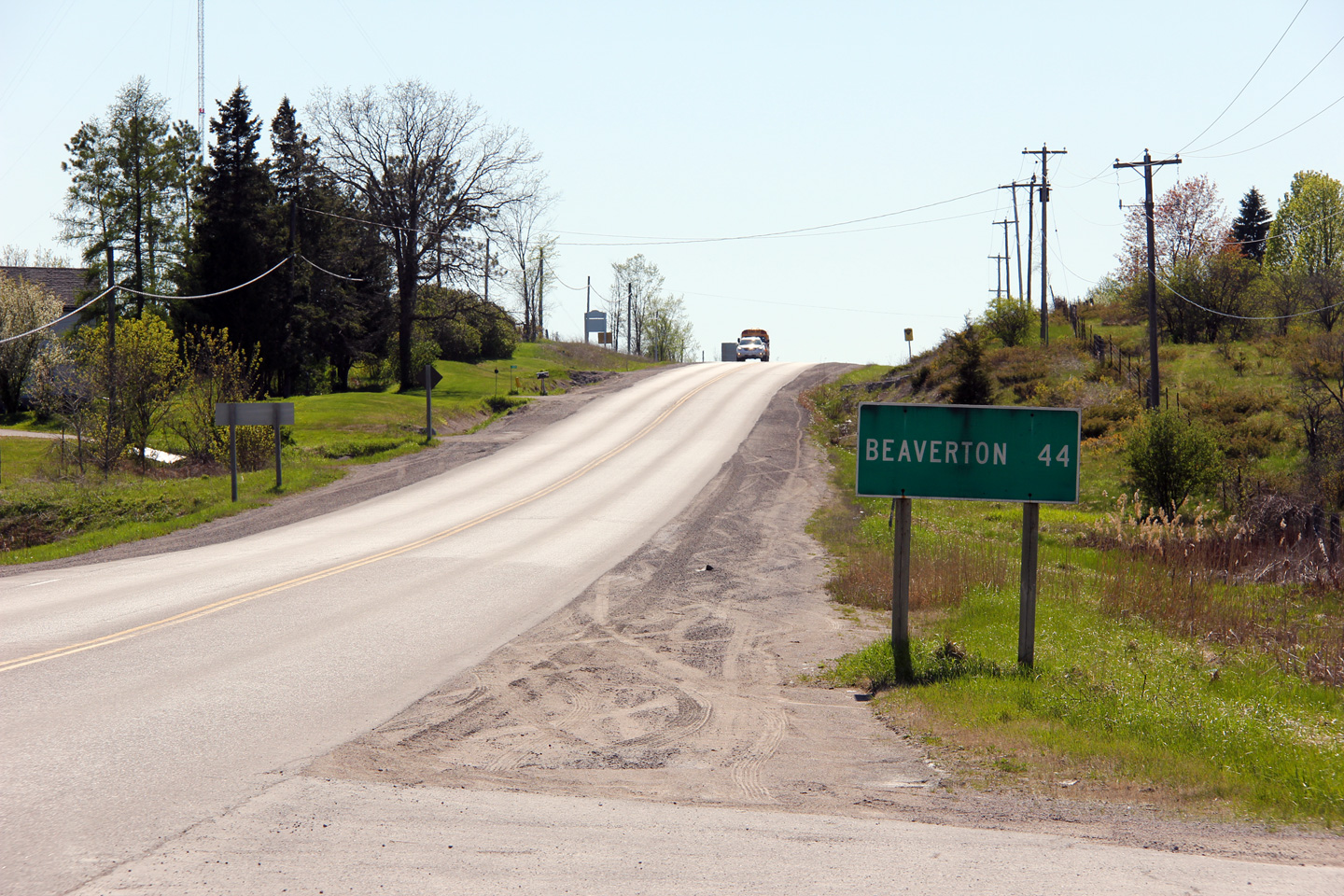
 (720x480)