|
Proper Municipality Name |
Photo Description |
Photo |
|
Pictures taken
from driver's perspective appear offset from centre-line pictures: |
North-
Bound |
South-
Bound |
|
The North Bay By-pass carries both Highway 11 and Highway
17 through North Bay.
Click here for Highway 11 images and
here for Highway 17
images. |
|
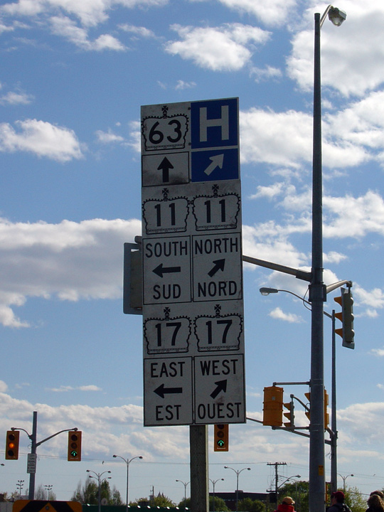
City of North Bay |
Southbound junction assembly at the
North Bay By-pass along Highway 63. After this photo was taken, the
southbound reference to Highway 63 continuing through this intersection was
removed, to reflect Highway 63's updated southern terminus at Highways 11
and 17. Photo taken: May 29th, 2004. |
 |
|
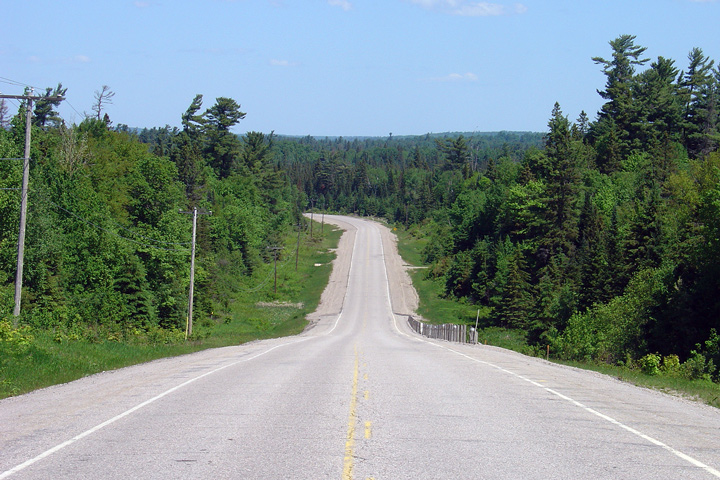
District of Nipissing |
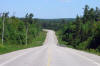
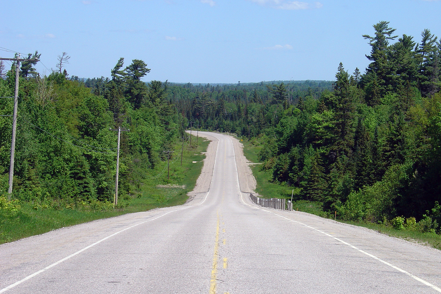
Northerly view of a particularly
desolate section of Highway 63 that is located about a kilometer south of
the Highway 533 junction.
Photo taken: June 4th, 2006. |
(720x480)
(1440x960) |
|
Highway 533 is a cut-off route between Highway 17 at
Mattawa and Highway 63.
Click
here for Highway 533 images. |
|
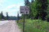
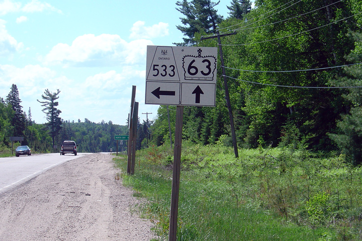
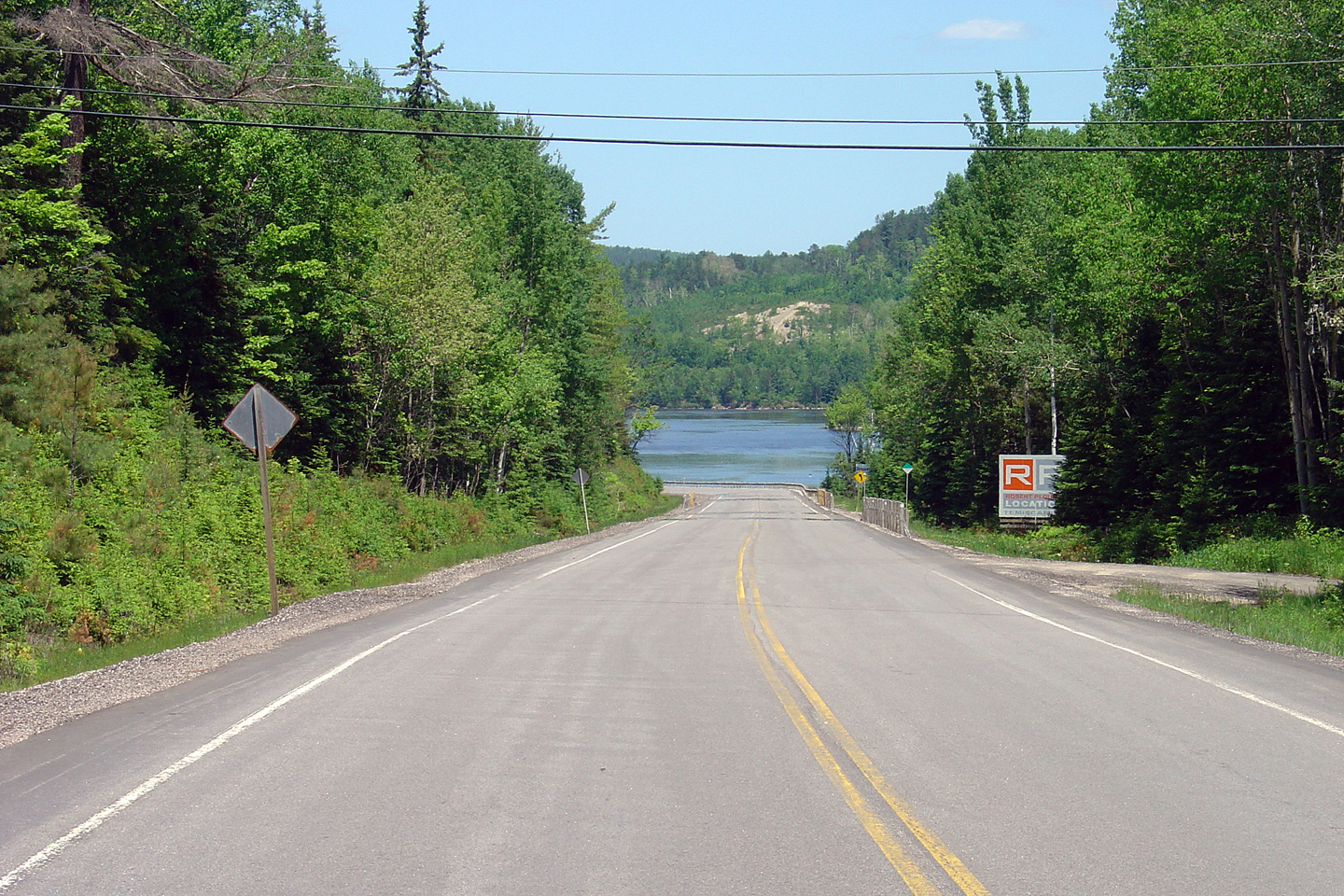
District of Nipissing |
Southbound junction assembly for
the intersection of Highway 63 and Highway 533.
Photo taken: June 4th, 2006.s |
 |
|
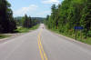
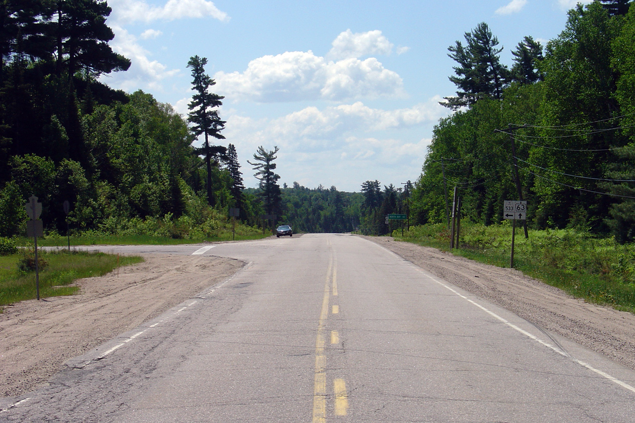
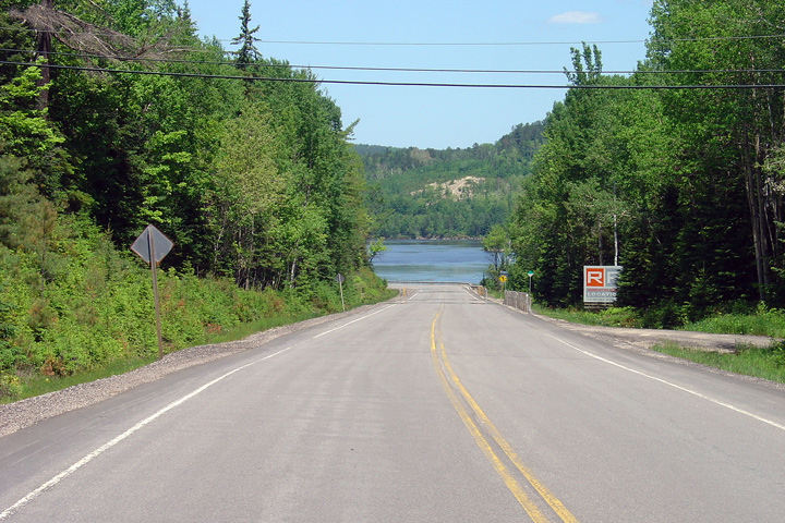
District of Nipissing |
Southerly view of Highway 63 as the
highway approaches the Highway 533 intersection. At the time this
photo was taken, much of Highway 63 was in pretty rotten condition.
Thankfully, very shortly after this photo was taken, the MTO reconstructed
much of Highway 63.
Photo taken: June 4th, 2006. |

(720x480)
(1440x960) |
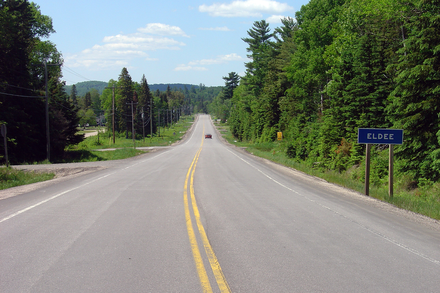
| District of Nipissing |
Southerly view as Highway 63 passes through the small community of Eldee.
Photo taken: June 4th, 2006. |
(720x480)
(1440x960) |
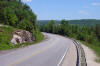
| District of Nipissing |
Northerly view as Highway 63
begins to descend into the Ottawa Valley in between Eldee and Thorne.
Photo taken: June 4th, 2006.
|
(720x480)
(1440x960) |
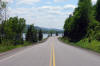
| District of Nipissing |
Highway 63 continues to descend
towards the Ottawa River, with the river itself finally coming into view.
Photo taken: June 4th, 2006.
|
(720x480)
(1440x960) |
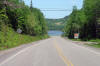
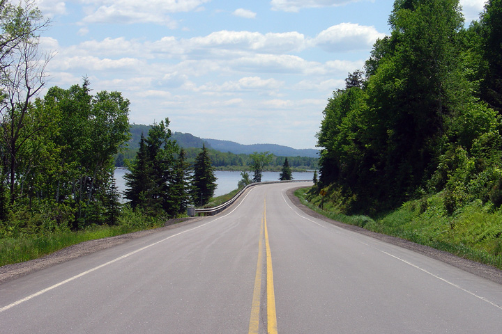
| District of Nipissing |
This view looks southerly from
about 4km southwest of the Quebec Border. The Ottawa River is visible
straight ahead along Highway 63.
Photo taken: June 4th, 2006. |
(720x480)
(1440x960) |
|
Highway 63 continues into Quebec as Quebec Highway 101.
Click
here for Quebec Route 101 images. |


