AsphaltPlanet.ca > OntHighways > Highway 7 > Images > Page 1B
King's Highway 7 - Images
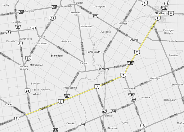
<- Page 1A Page 1B - Elginfield to Stratford Page 1C->
Photos shown in this table are arranged from West to East:
| Proper Municipality Name | Photo Description | Photo | ||
|
Pictures taken from driver's perspective appear offset from centre-line pictures: |
East- Bound |
West- Bound |
||
| Sarnia to Elginfield Images available here | ||||
| At Elginfield, Highway 7 intersects Highway 4, which leads both north and south of Highway 7. Click here for Highway 4 images. | ||||
| Lucan Biddulph - Middlesex Centre
Boundary County of Middlesex |
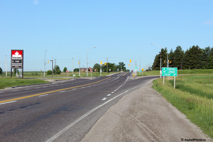
View looking westerly at the current western
terminus of Highway 7 at the Highway 4 intersection in Elginfield. Photo taken: June 15th, 2014. |
 |
||
| Lucan Biddulph - Middlesex Centre
Boundary County of Middlesex |
Looking westerly approaching the Highway 4
intersection. Note the junction assembly at right. Photo taken: June 15th, 2014. |
 |
||
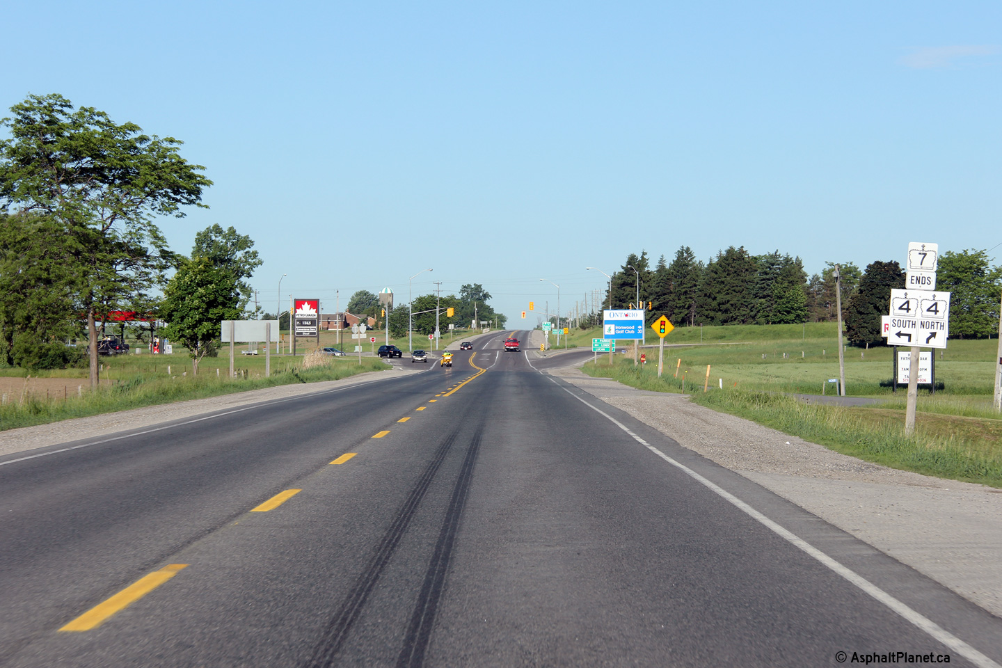
| Lucan Biddulph - Middlesex Centre
Boundary County of Middlesex |
Eastbound distance signage along Highway 7 just
east of Highway 4 at Elginfield. Photo taken: June 15th, 2014. |
 (720x480) (720x480)(1440x960) (2400x1600) |
||
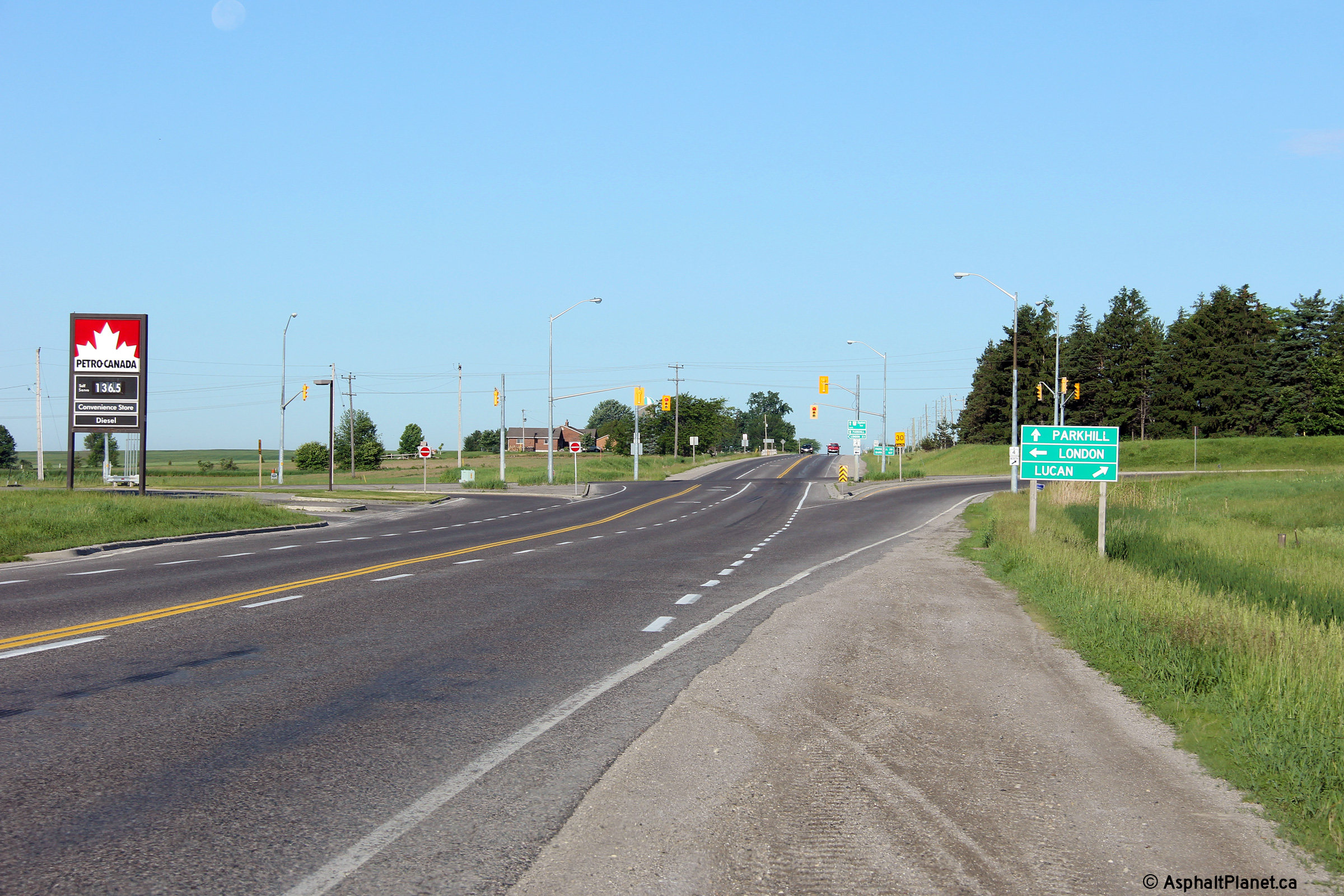
| Lucan Biddulph - Middlesex Centre
Boundary County of Middlesex |
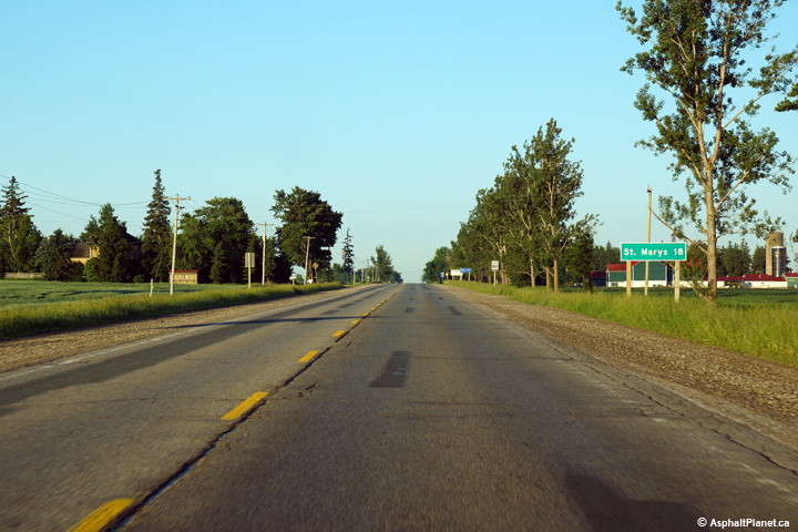
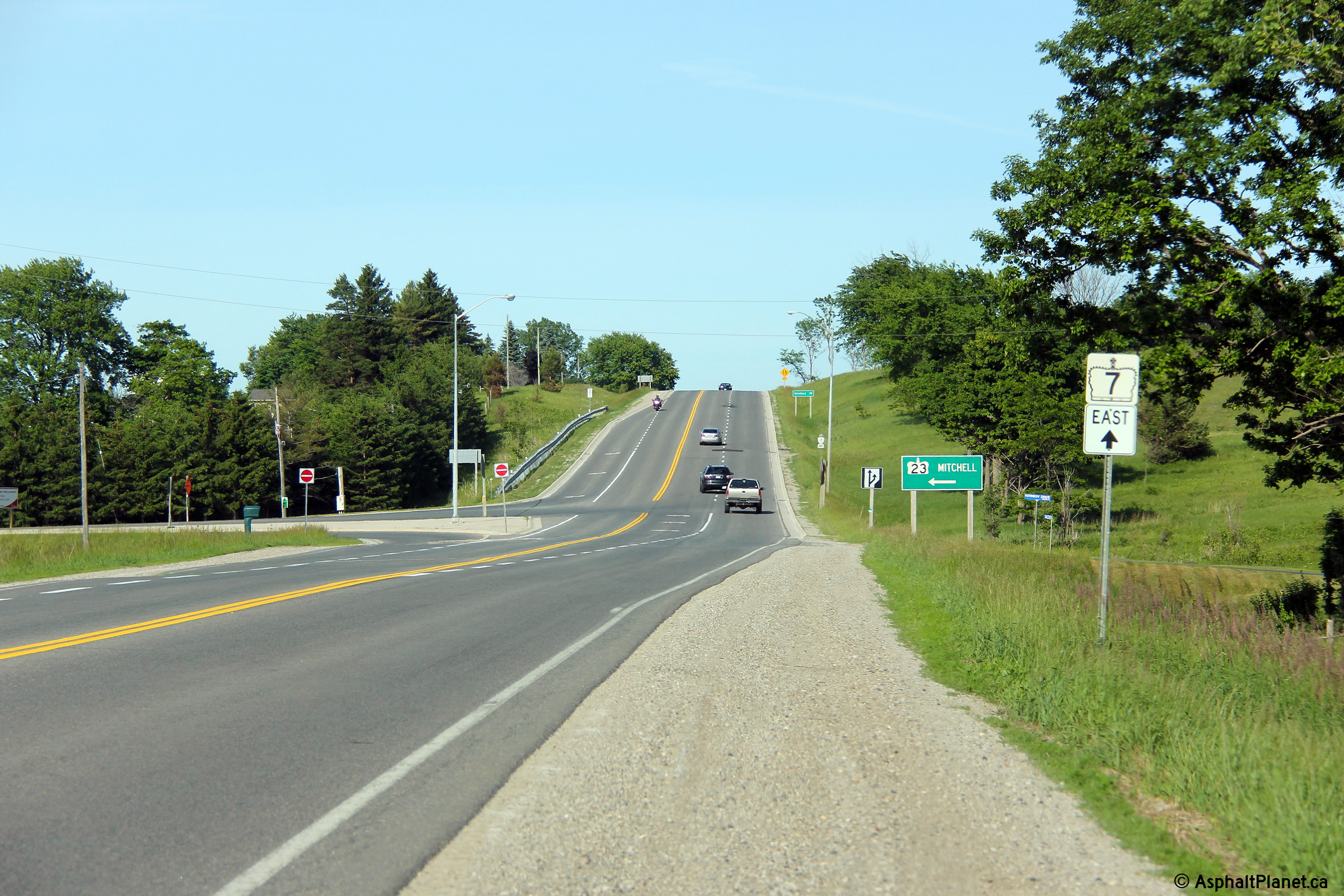
This view looks easterly towards the Highway 23
junction. Click here for an
older picture of this intersection, taken October, 2005. Photo taken: June 15th, 2014. |
 |
||
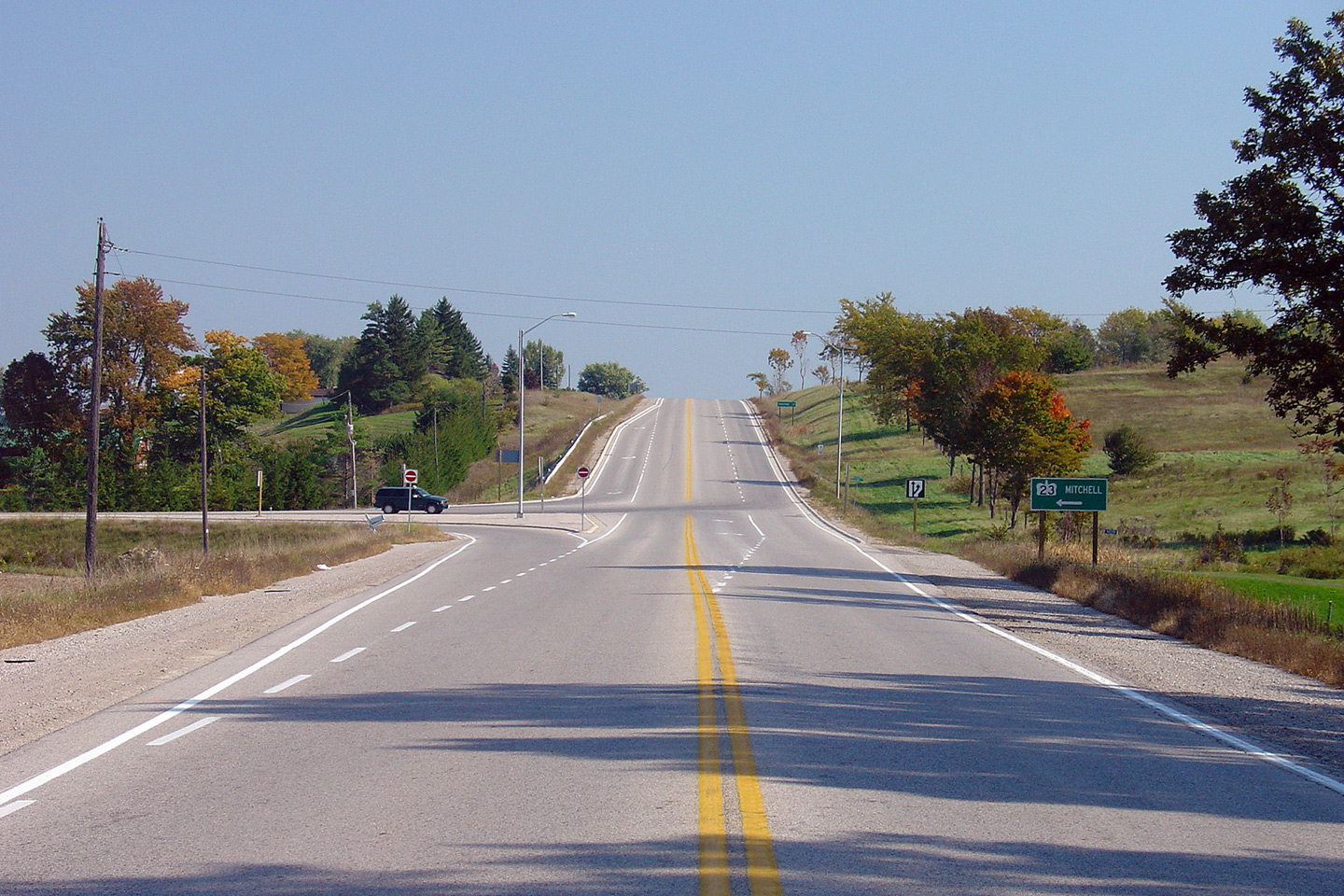
| Lucan Biddulph - Middlesex Centre
Boundary County of Middlesex |
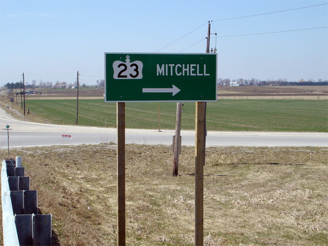
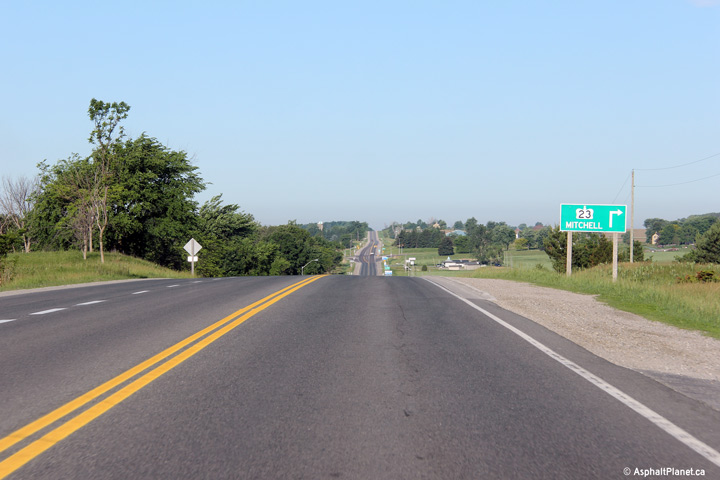
Eastbound green signage for the
Highway 23 intersection. Photo taken: April 17th, 2006. |
 |
||
| Highway 23 leads north-easterly from Highway 7 through Mitchell and Listowel before terminating at Highway 9 and 89 in Harriston. Click here for Highway 23 images. | ||||
| Lucan Biddulph - Middlesex Centre
Boundary County of Middlesex |
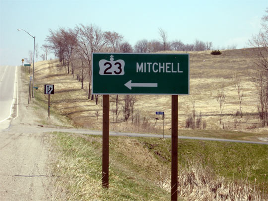
Westbound signage in advance of the
Highway 23 junction. Photo taken: April 17th, 2006. |
 |
||
| Lucan Biddulph - Middlesex Centre
Boundary County of Middlesex |
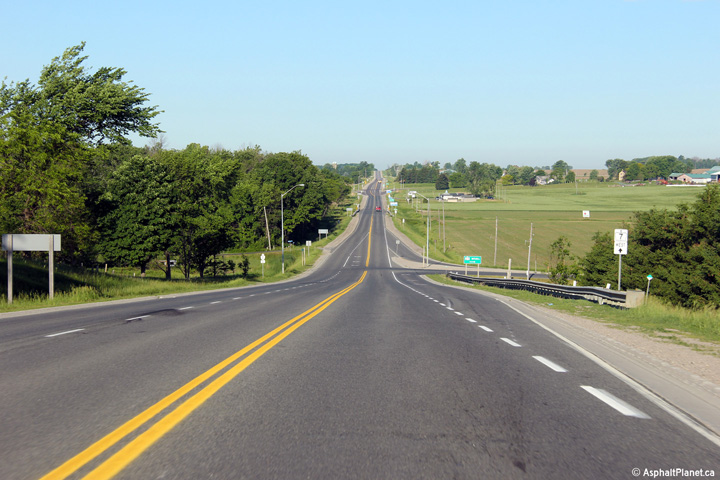
This photo is looking west down the hill towards Elginfield. The the upper image, both the Highway 4 and Highway 23 intersections are visible.
Photos taken: June 15th, 2014. |
(720x480) (1440x960) (2400x1600)
|
||
| Lucan Biddulph - Middlesex Centre
Boundary County of Middlesex |
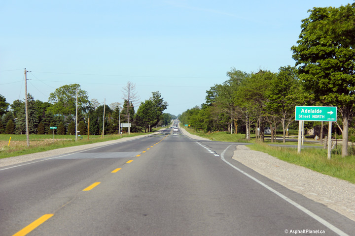
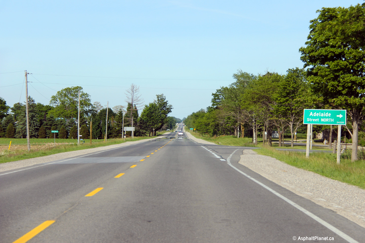
Easterly view at the Adelaide Street
intersection. Unlike Highbury Avenue, Adelaide Street is not a county
road this far north of London. Adelaide Street is consistently paved
between Highway 7 and London, however. Photo taken: June 15th, 2014. |
 (720x480) (1440x960) (2400x1600) |
||
| Lucan Biddulph - Middlesex Centre
Boundary County of Middlesex |
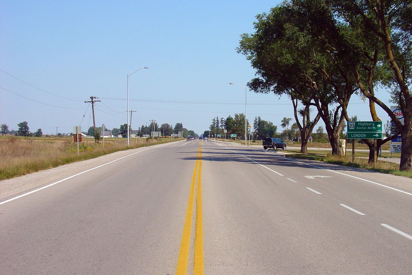
Easterly view at the Highbury Avenue
intersection. Click here
for a photo of this intersection, taken in September, 2005. Photo taken: June 15th, 2014. |
 (720x480) (1440x960) (2400x1600) |
||
| Lucan Biddulph - Middlesex Centre
Boundary County of Middlesex |
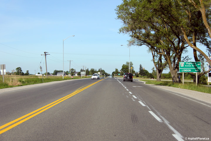
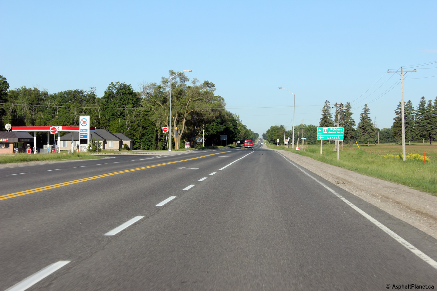
View looking westerly approaching the Highbury
Avenue intersection. Photo taken: June 15th, 2014. |
 (720x480) (1440x960) (2400x1600) |
||
| Lucan Biddulph - Middlesex Centre
Boundary County of Middlesex |
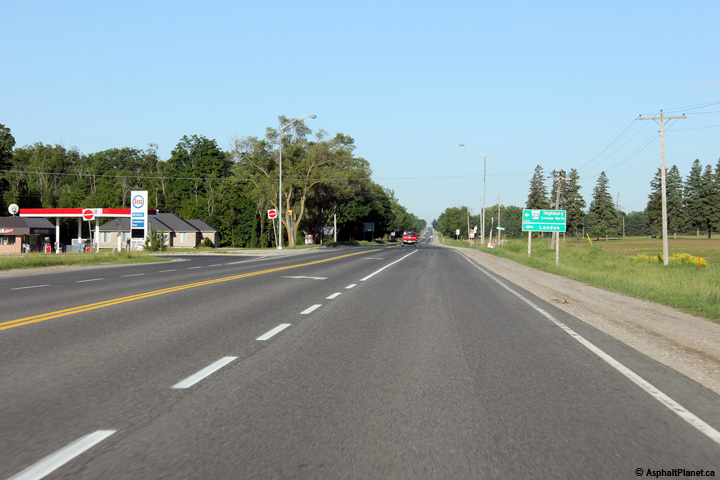
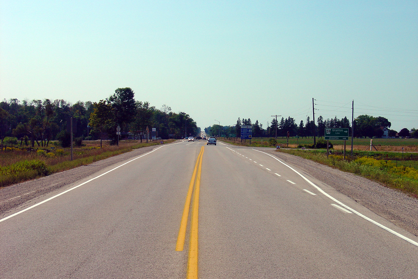
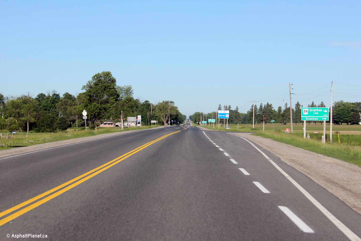
View looking westerly at the Granton Line
intersection. Granton Line is located immediately east of the Highbury
Avenue intersection. Click here
for a photo of this intersection, taken in September, 2005. Photo taken: June 15th, 2014. |
 (720x480) (1440x960) (2400x1600) |
||
| Lucan Biddulph - Middlesex Centre
Boundary County of Middlesex |
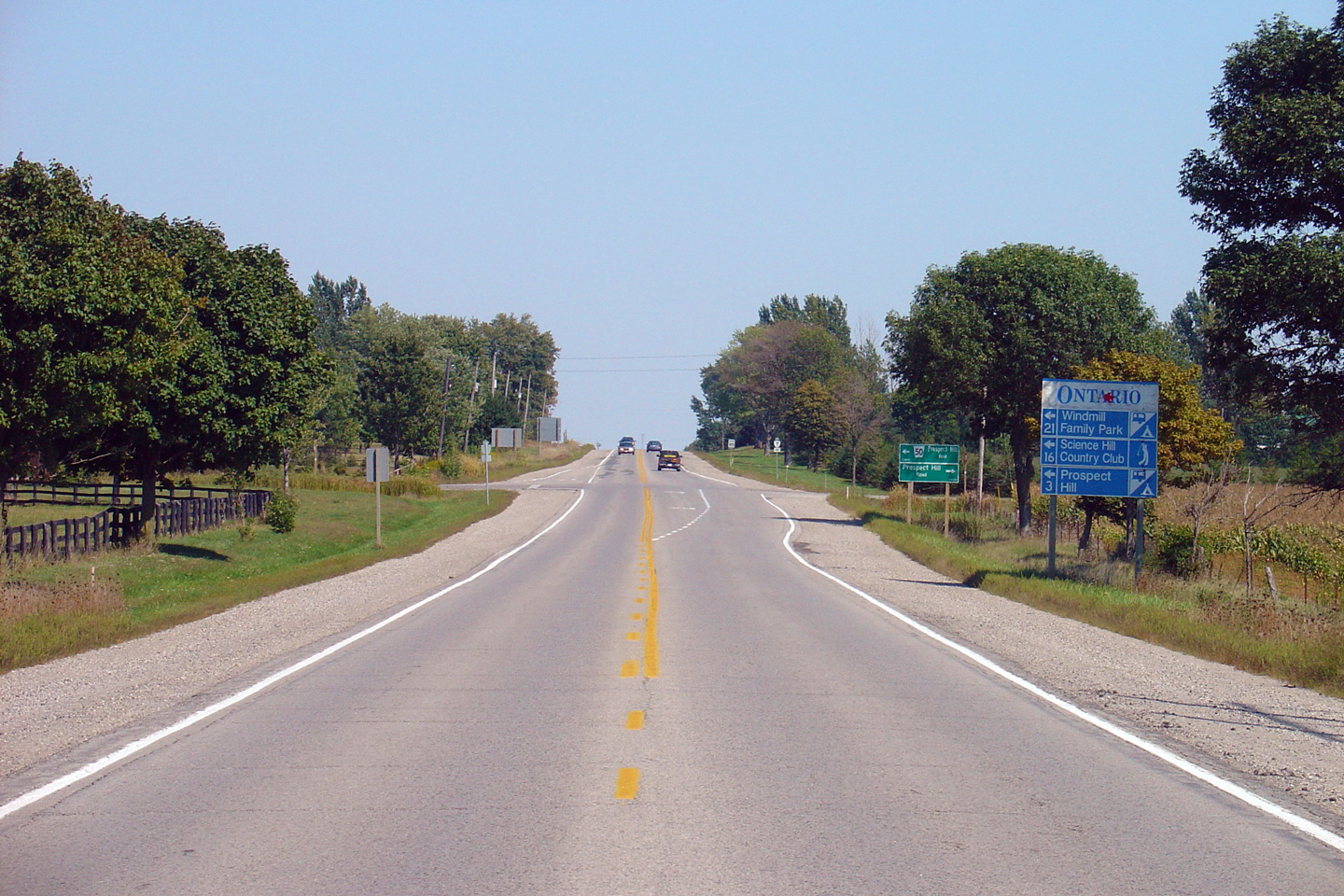
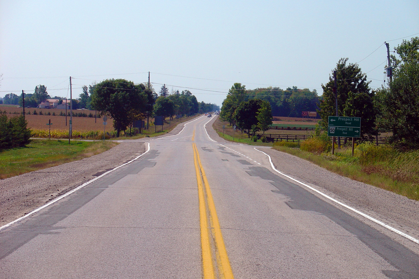
View looking easterly towards the Prospect Hill
Road intersection. Highway 7 followed Prospect Hill Road until 1970
when the St. Mary's Diversion was opened to traffic. Click
here for a photo of this
intersection, taken in September, 2005. Photo taken: June 15th, 2014. |
 (720x480) (1440x960) (2400x1600) |
||
| Lucan Biddulph - Thames Centre
Boundary County of Middlesex |
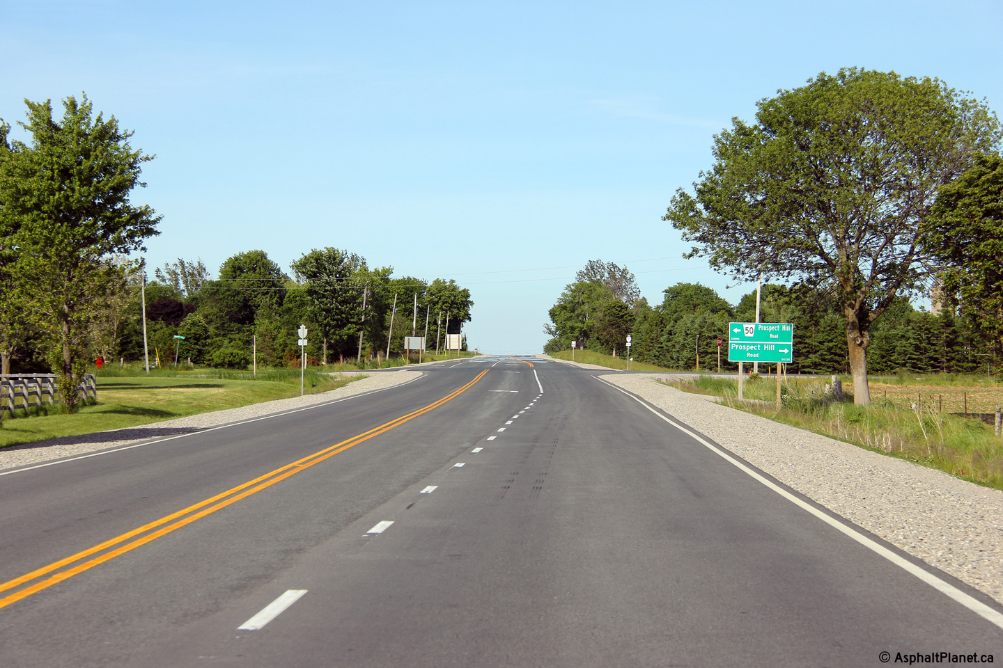
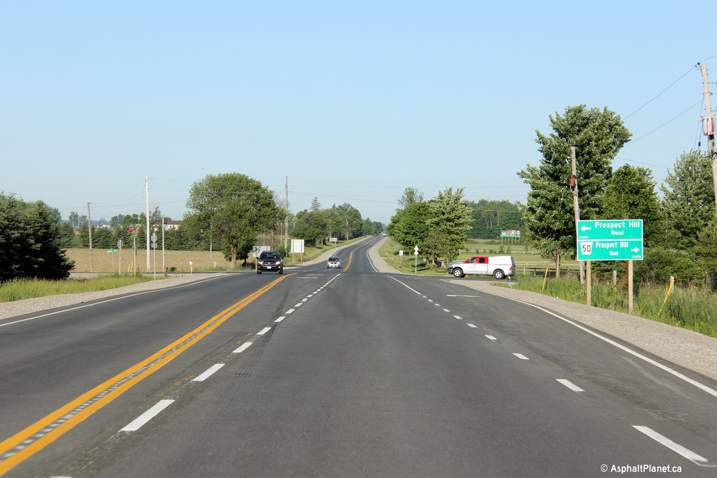
View looking west towards the Prospect Hill Road
intersection along Highway 7. Click
here for a photo of this
intersection, taken in September, 2005. Photo taken: June 15th, 2014. |
 (720x480) (1440x960) (2400x1600) |
||
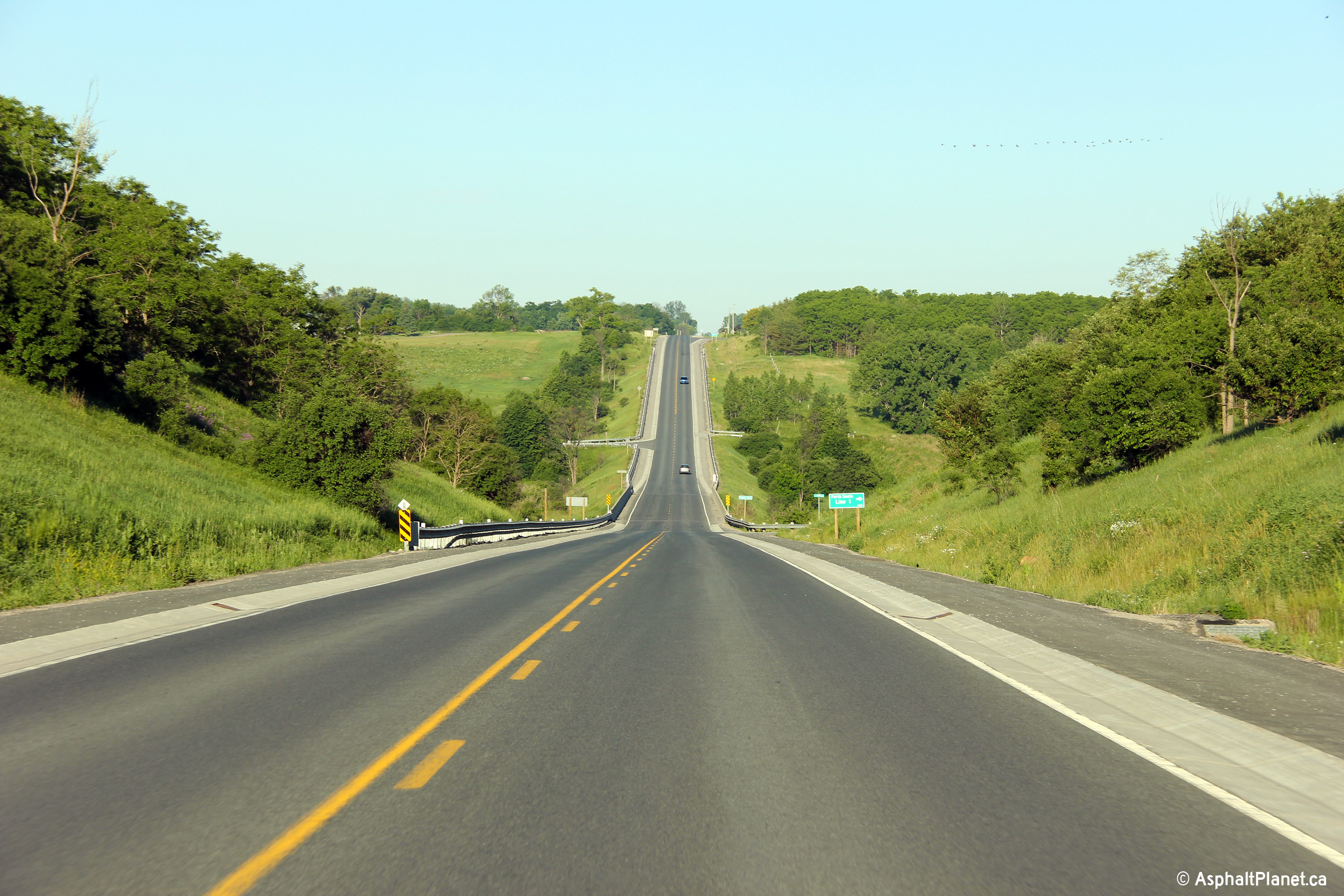
| Thames Centre / Perth South
Boundary Middlesex / Perth Boundary |
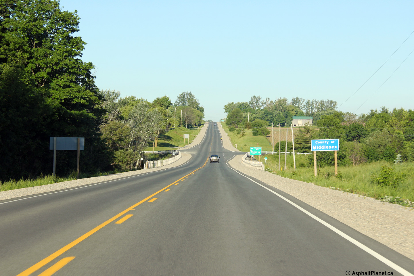
Westerly view approaching the Whalen Line /
Valley View Road intersection. Beyond this intersection, Highway 7
fully enters the County of Middlesex. Photo taken: June 15th, 2014. |
 (720x480) (1440x960) (2400x1600) |
||
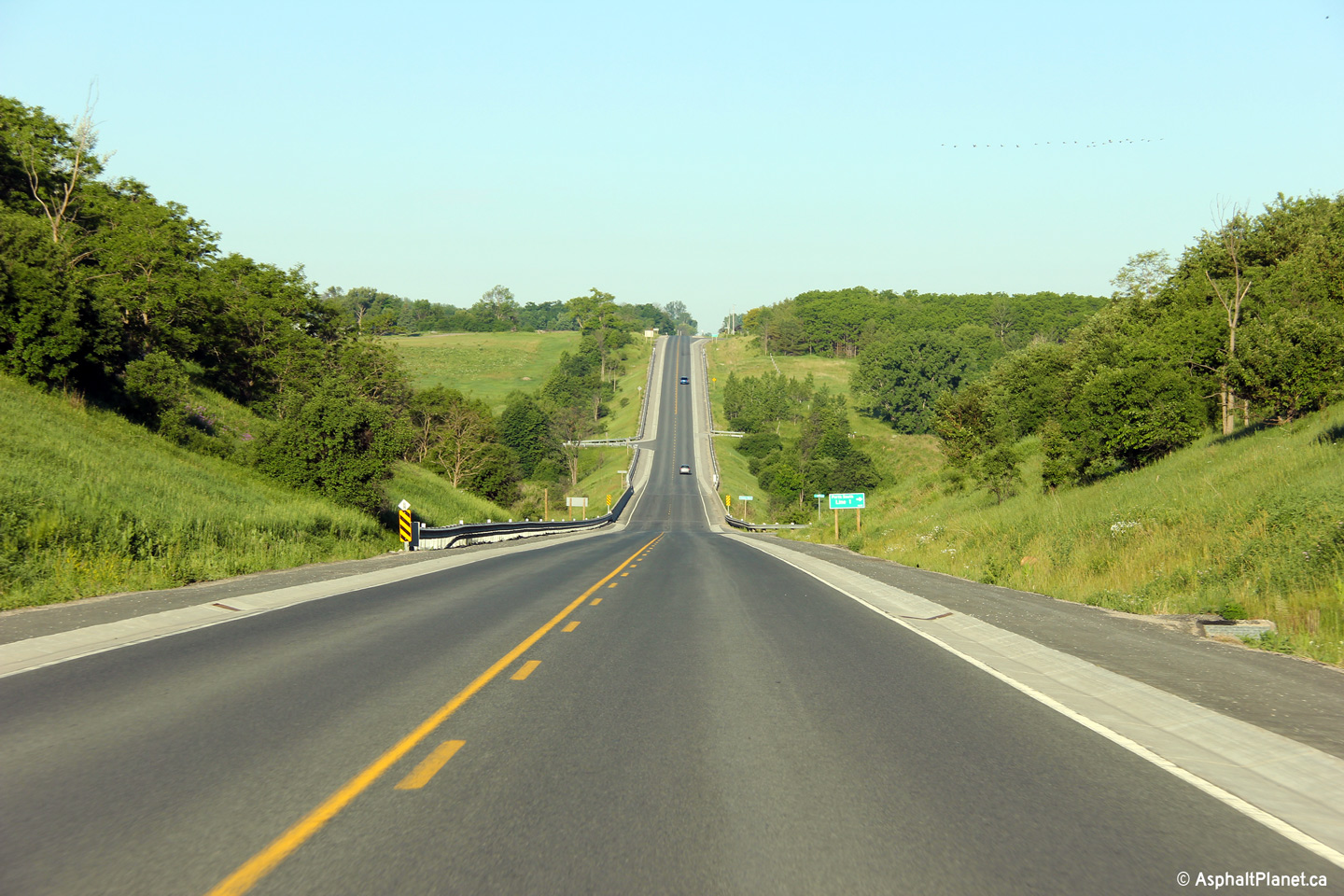
| Thames Centre / Perth South
Boundary Middlesex / Perth Boundary |
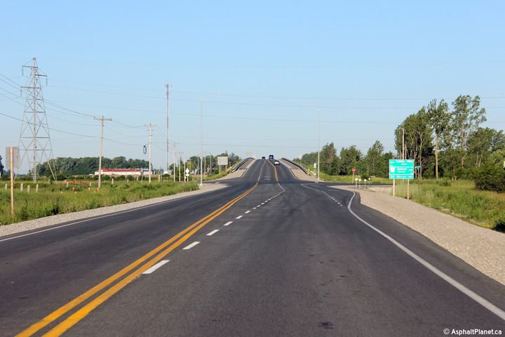
This view looks easterly along Highway 7 as the
highway descends into the Thames River Valley. Photo taken: June 15th, 2014. |
 (720x480) (1440x960) (2400x1600) |
||
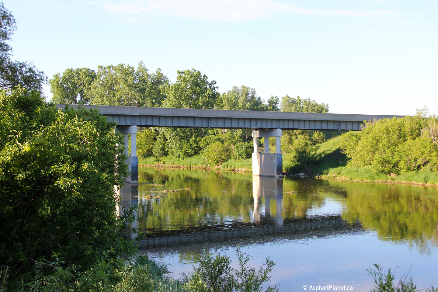
| Thames Centre / Perth South
Boundary Middlesex / Perth Boundary |
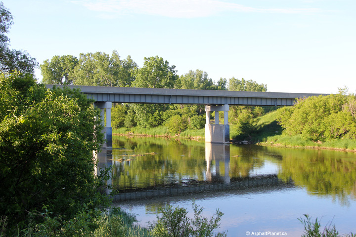
Two views looking southerly along the North
Branch of the Thames River towards the Highway 7 bridge. Photos taken: June 15th, 2014. |
 (720x480) (1440x960) (2400x1600)  (720x480) (1440x960) (2400x1600) |
||
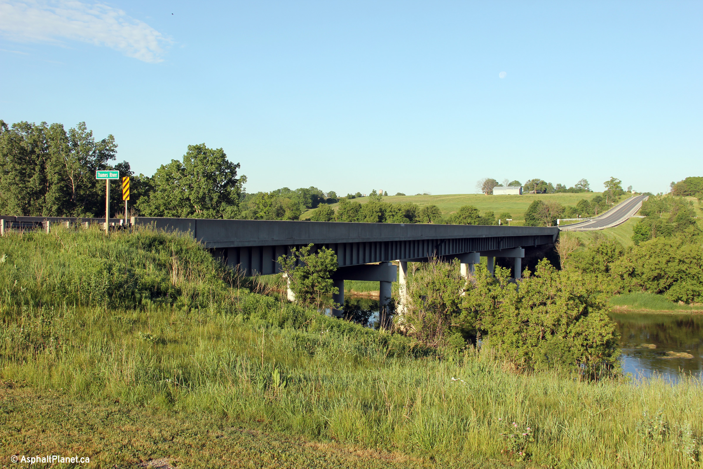
| Thames Centre / Perth South
Boundary Middlesex / Perth Boundary |
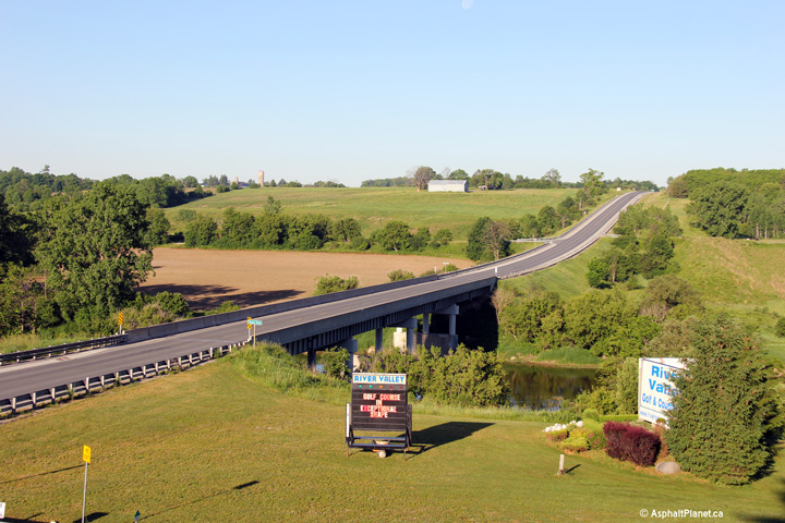
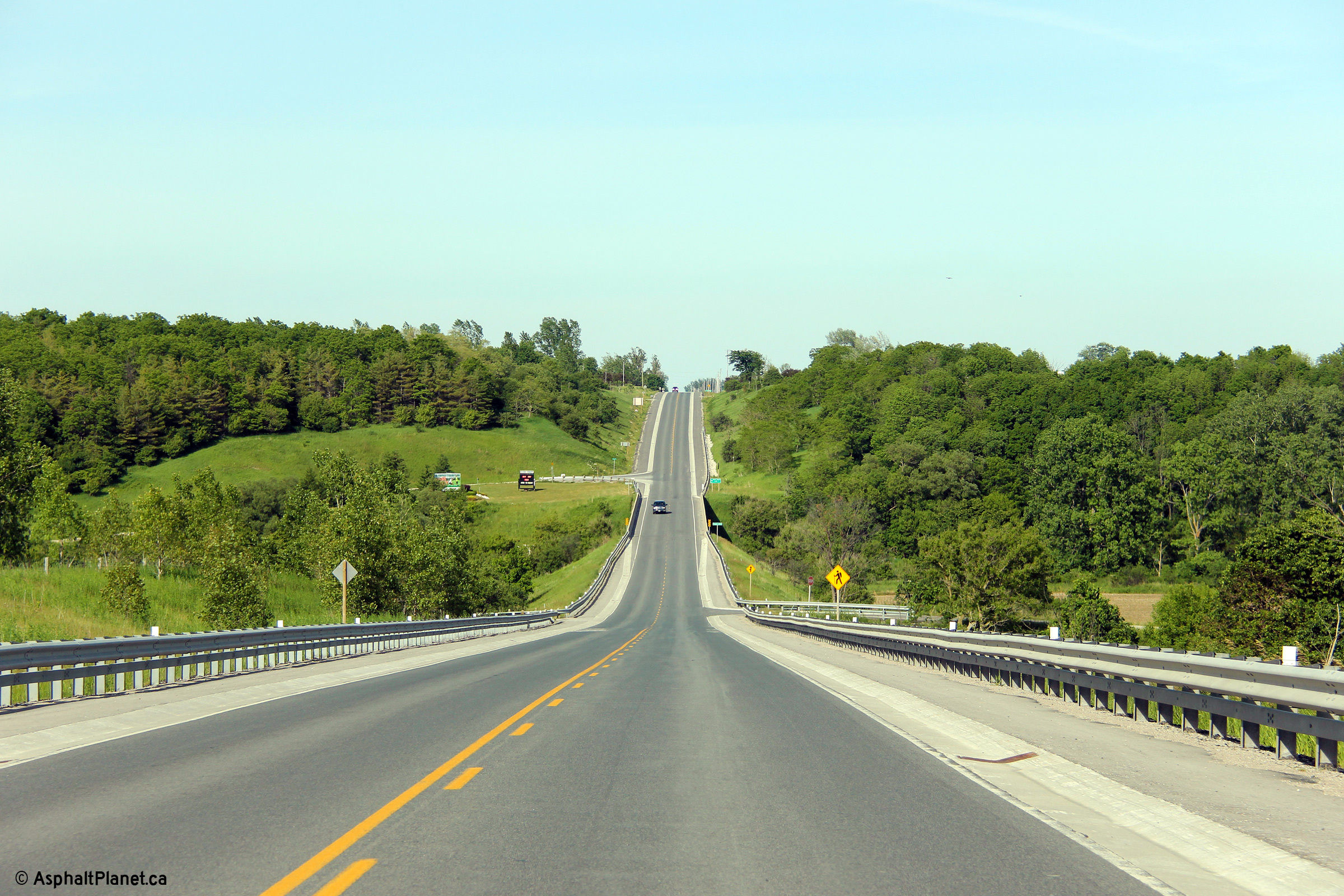
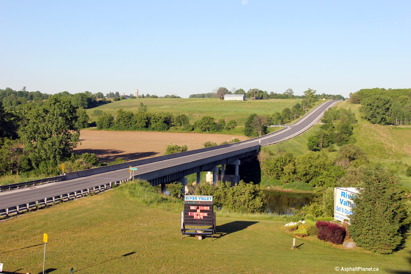
Highway 7 looking west across the North Branch
of the Thames River. Hills like the one shown in this picture are not
typical of the otherwise mundane Southwestern Ontario terrain.
Click here for a photo of this
location, taken in August, 2004. Photos taken: June 15th, 2014. |
(720x480) (1440x960) (2400x1600)
|
||
| Thames Centre / Perth South
Boundary Middlesex / Perth Boundary |
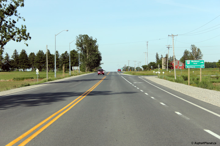
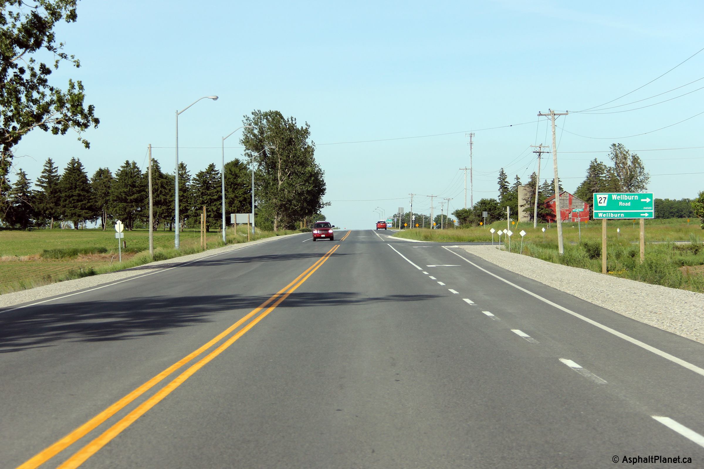
Easterly view approaching the Wellburn Road
intersection. Wellburn Road is an important county road that leads
southerly from Highway 7 before turning west towards Highway 4.
Middlesex Road 27 is one of only a handful of county roads that crosses the
North Branch of the Thames River. Photo taken: June 15th, 2014. |
 (720x480) (1440x960) (2400x1600) |
||
| Thames Centre / Perth South
Boundary Middlesex / Perth Boundary |
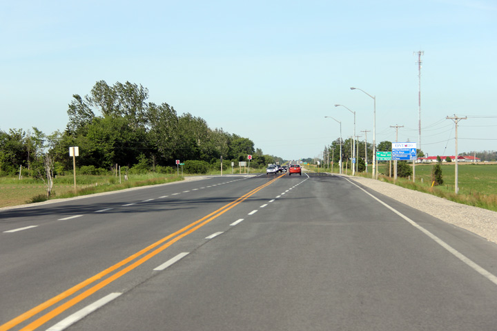
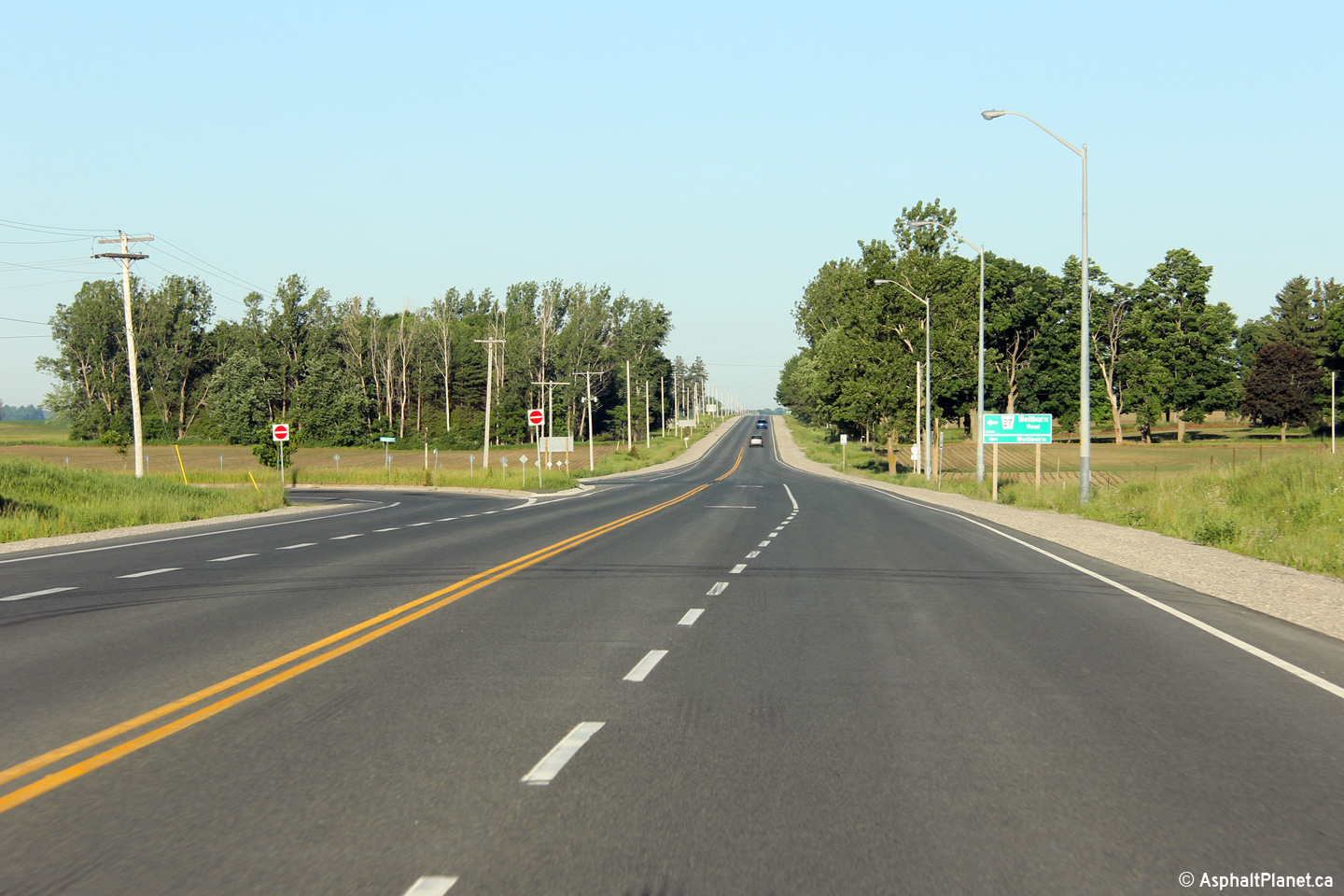
This view looks westerly approaching the
Wellburn Road intersection. Photo taken: June 15th, 2014. |
 (720x480) (1440x960) (2400x1600) |
||
| Thames Centre / Perth South
Boundary Middlesex / Perth Boundary |
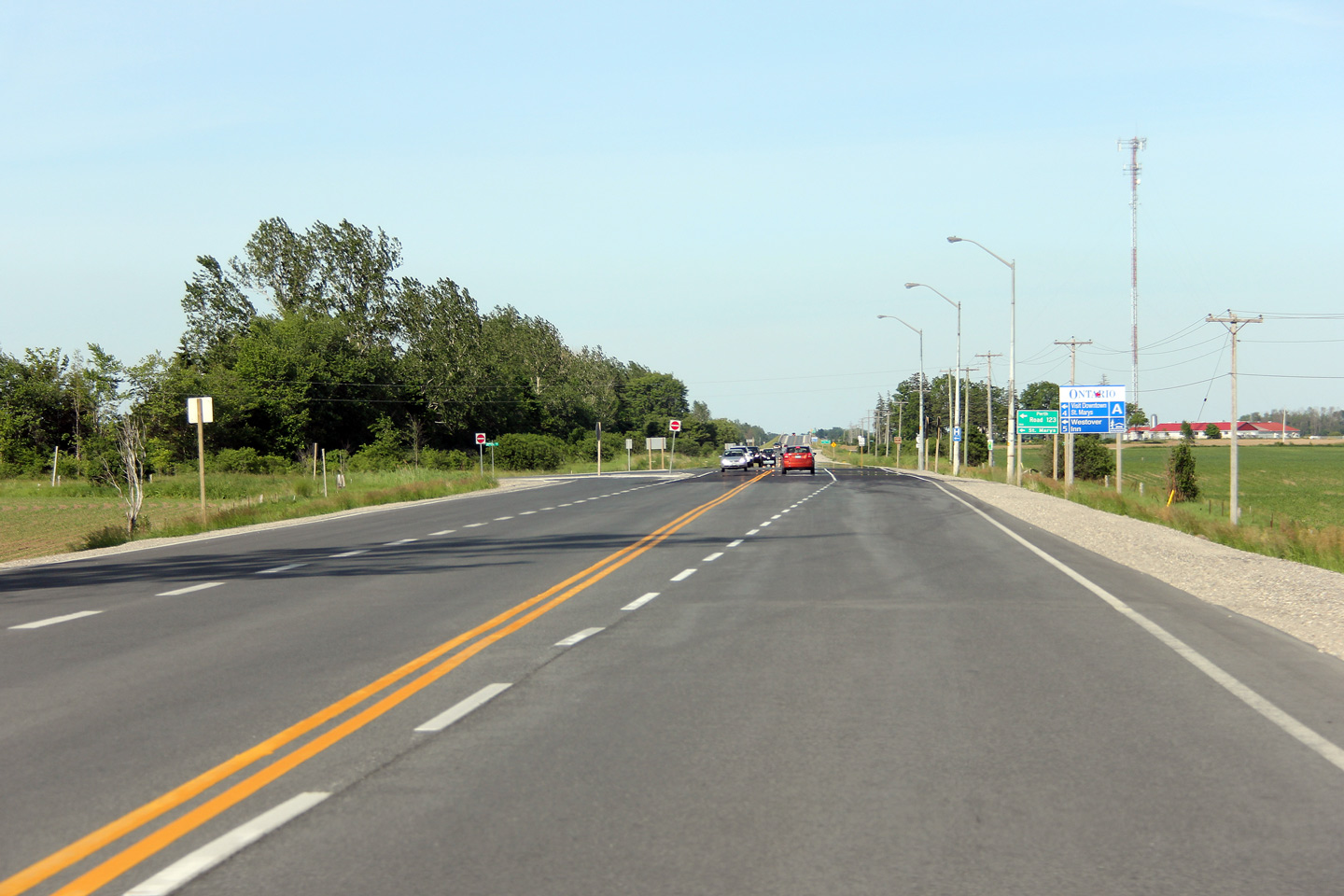
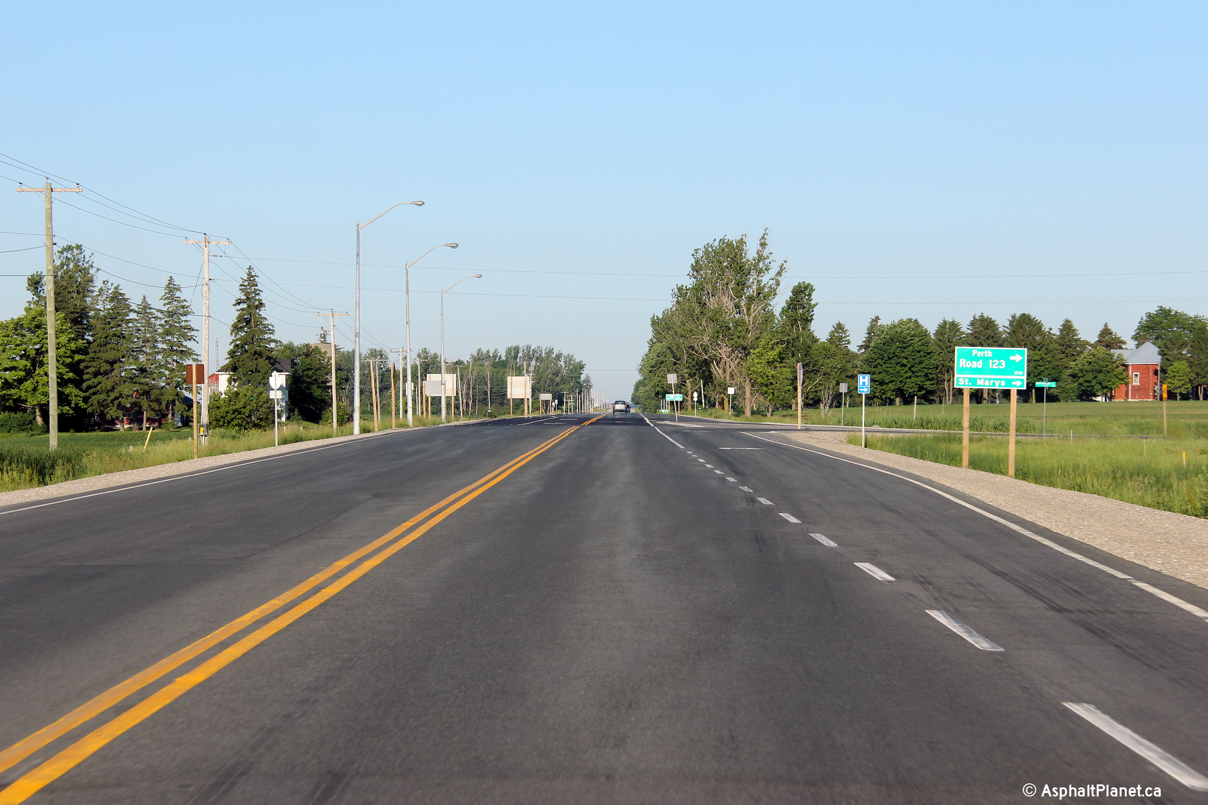
Easterly view approaching the Perth Road 123
intersection. Perth Road 123 becomes Water Street in Downtown St.
Marys. Photo taken: June 15th, 2014. |
 (720x480) (1440x960) (2400x1600) |
||
| Thames Centre / Perth South
Boundary Middlesex / Perth Boundary |
Westerly view nearing the intersection with
Perth Road 123. Photo taken: June 15th, 2014. |
 (720x480) (1440x960) (2400x1600) |
||
| Thames Centre / Perth South
Boundary Middlesex / Perth Boundary |
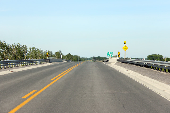
Deck view looking easterly at the St. Mary's
Overhead. Photo taken: June 15th, 2014. |
 (720x480) (1440x960) (2400x1600) |
||
| Thames Centre / Perth South
Boundary Middlesex / Perth Boundary |
Two views looking at both the
northern and southern sides of the St. Mary's Overhead that carries Highway
7 overtop of the GEXR line. Oddly, the piers of the St. Mary's Overhead do
not appear to have been positioned to allow an additional railway line to be
constructed adjacent to the existing line as is typical of most railway
grade separations built by the MTO. Since these photos were taken, the St.
Mary's Overhead has been rehabilitated. Photos taken: April 20th, 2006. |
 (720x480) (1440x960) 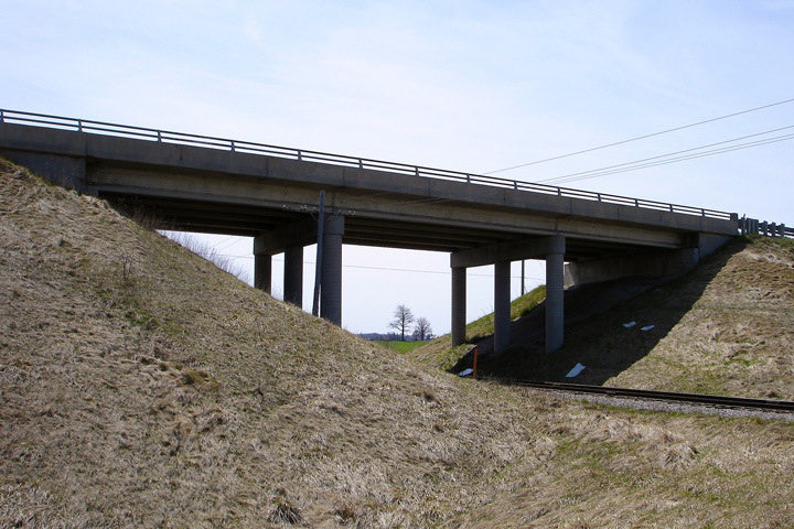 (720x480) (1440x960) |
||
| Thames Centre / Perth South
Boundary Middlesex / Perth Boundary |
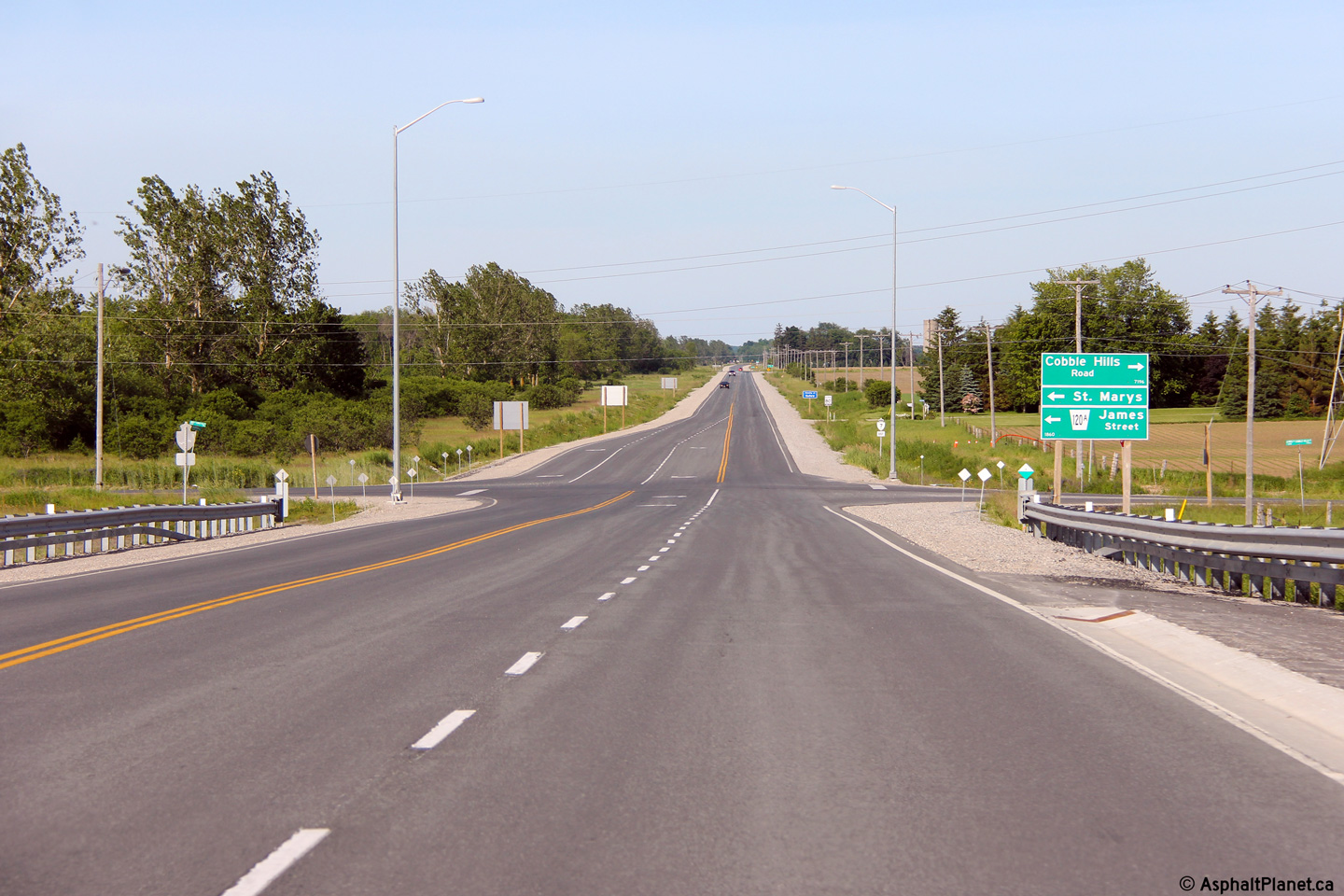
This view looks easterly from the top of the St. Mary's Overhead towards the
Perth Road 120A intersection. Photo taken: June 15th, 2014. |
 (720x480) (1440x960) (2400x1600) |
||
| Perth South / Zorra Boundary Perth / Oxford Boundary |
This view looks westerly towards the Perth Road 120A intersection. Photo taken: June 15th, 2014. |
 (720x480) (1440x960) (2400x1600) |
||
| Perth South / Zorra Boundary Perth / Oxford Boundary |
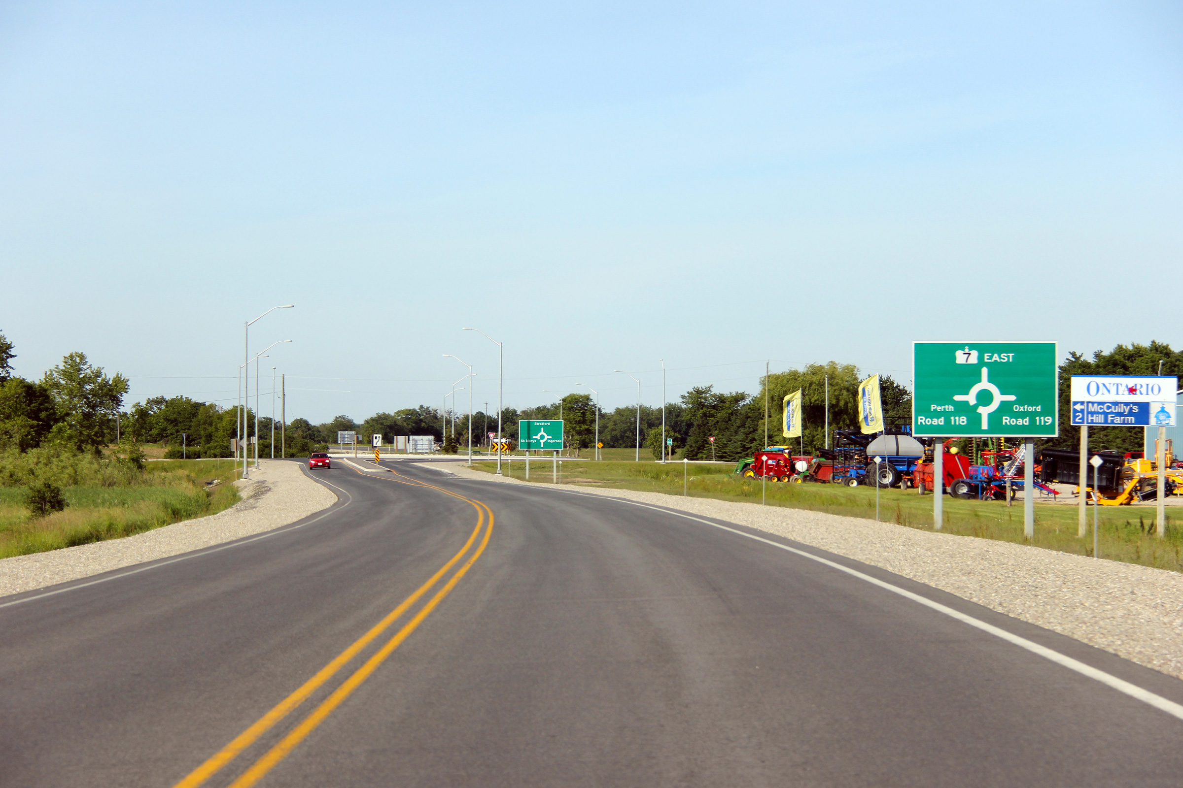
Easterly view approaching the Perth Road 118/119 roundabout intersection. Photo taken: June 15th, 2014. |
 (720x480) (720x480)(1440x960) (2400x1600) |
||
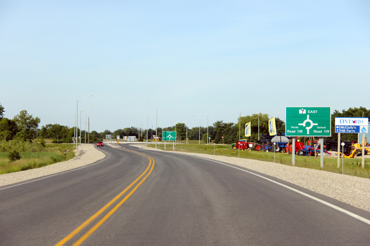
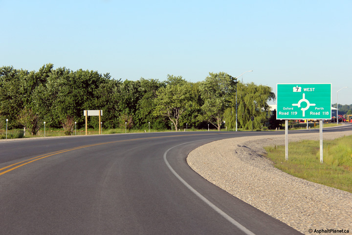
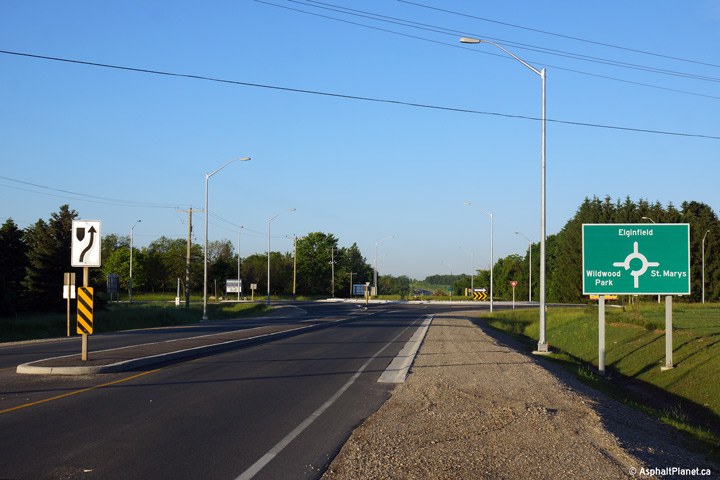
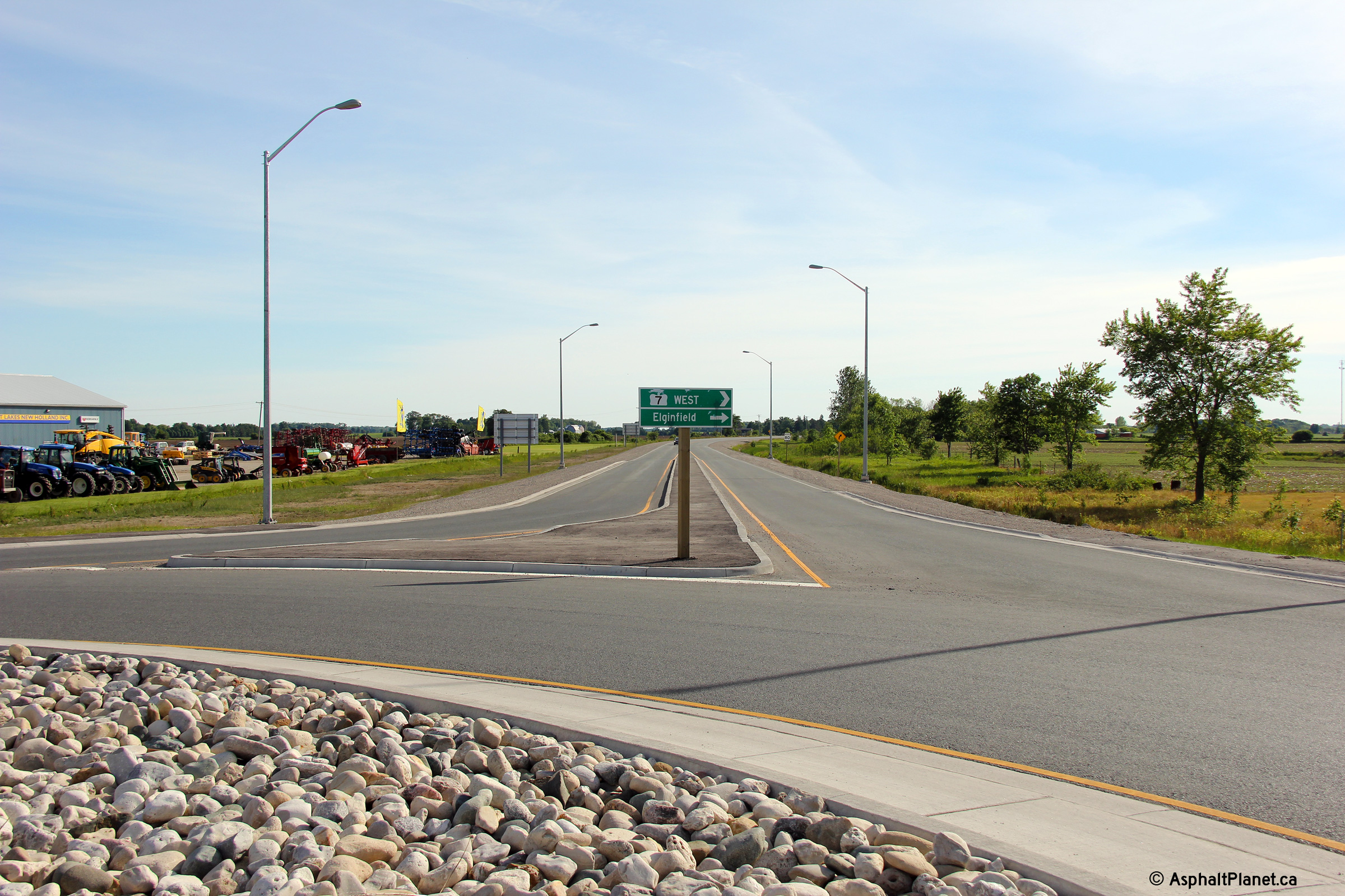
| Perth South / Zorra Boundary Perth / Oxford Boundary |
Destination signage approaching for the Perth Road 118/119 roundabout. Photo taken: June 15th, 2014. |
 (720x480) (720x480)(1440x960) (2400x1600) |
||
| Perth South / Zorra Boundary Perth / Oxford Boundary |
View looking westerly along Highway 7 from the centre of the Perth Road 119
(Highway 19) roundabout. Click
here for a photograph of this intersection, taken in August, 2004,
before the roundabout was constructed. Photo taken: June 15th, 2014. |
 (720x480) (1440x960) (2400x1600) |
||
| Before being transferred to local municipalities, County Road 119 was part of Highway 19, and ran southerly beyond Ingersoll through Thamesford. Click here for Highway 19-South images. | ||||
| Township of Perth South County of Perth |
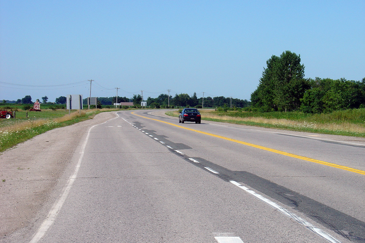
Easterly view along Highway 7(/19) from the Perth Road 119 roundabout.
Click here for a photograph of
this intersection, taken in August, 2004, before the roundabout was
constructed. Photo taken: June 15th, 2014. |
 (720x480) (1440x960) (2400x1600) |
||
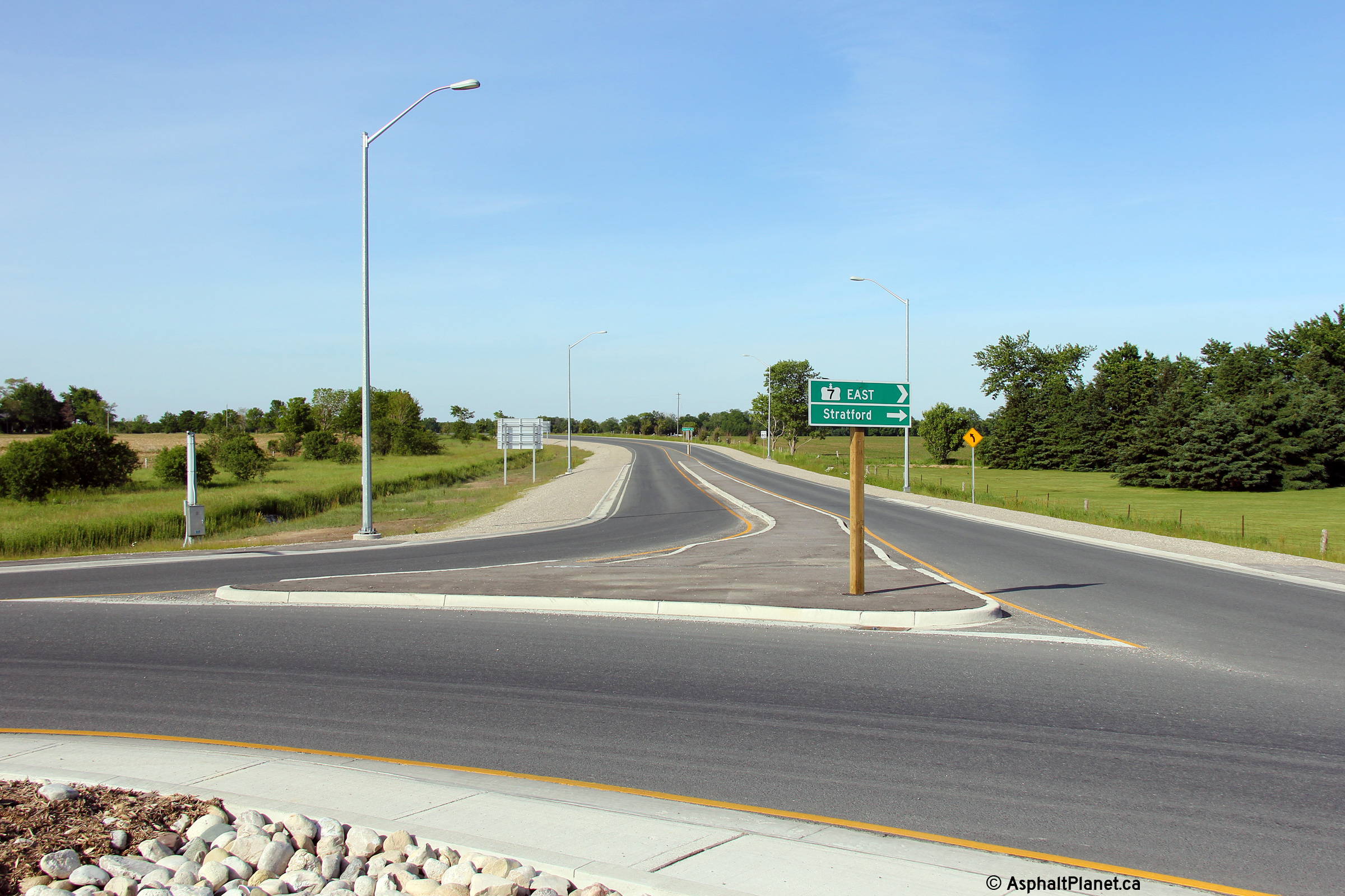
| Township of Perth South County of Perth |
Westbound destination signage at the Perth Road 118/119 roundabout. Photo taken: June 15th, 2014. |
 (720x480) (720x480)(1440x960) (2400x1600) |
||
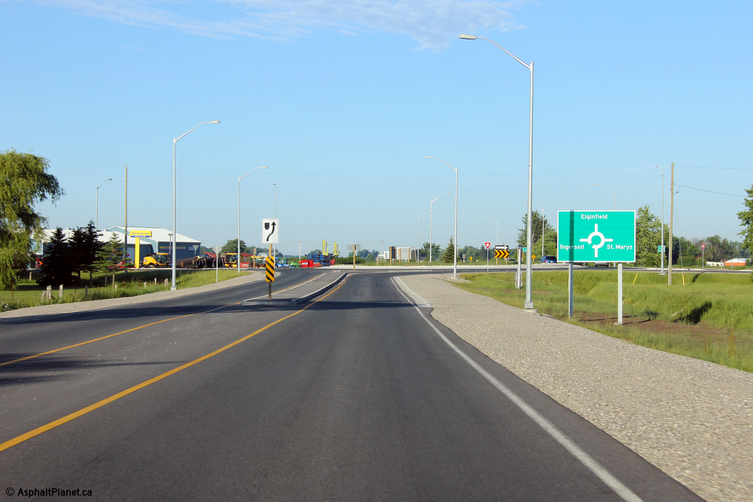
| Township of Perth South County of Perth |
Signage approaching the Perth Road 118/119 roundabout. No evidence
remains at this roundabout that Highway 19 ran south towards Ingersoll before
it was transferred to local municipalities. Photo taken: June 15th, 2014. |
 (720x480) (720x480)(1440x960) (2400x1600) |
||
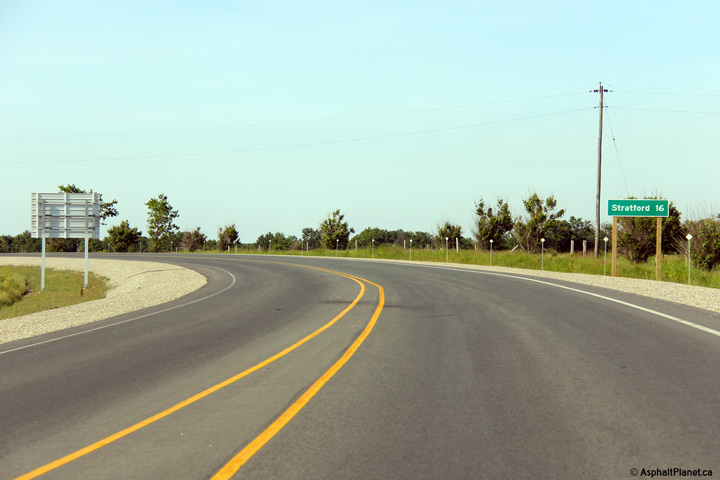
| Township of Perth South County of Perth |
Distance signage east of the Perth Road 118/119 roundabout for Stratford. Photo taken: June 15th, 2014. |
 (720x480) (720x480)(1440x960) |
||
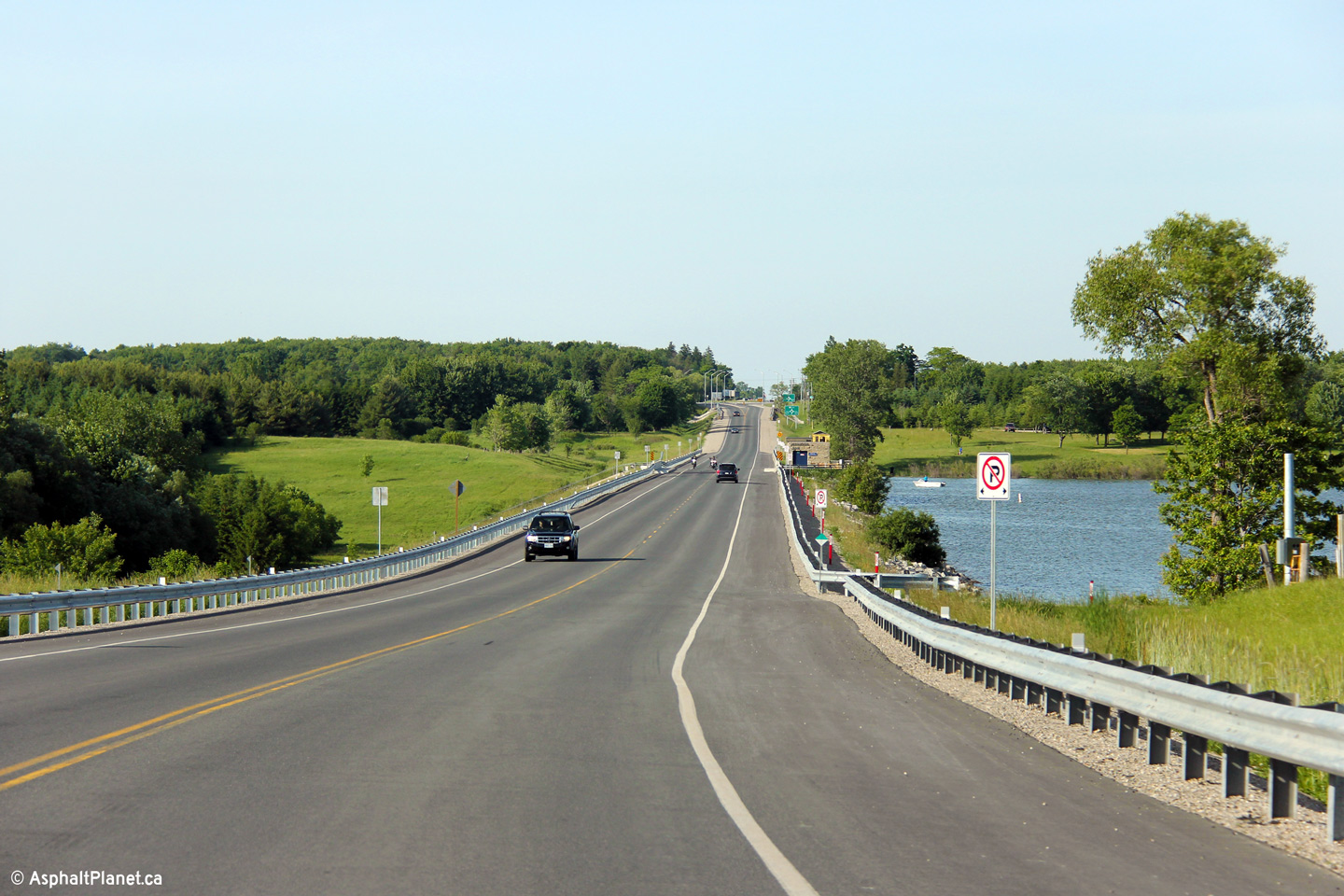
| Township of Perth South County of Perth |
Easterly view along Highway 7 as the highway passes overtop of Willdwood
Dam. Wildwood Dam impounds the flow of Trout Creek, and forms
Wildwood Lake to the south of Highway 7 behind the dam. Photo taken: June 15th, 2014. |
 (720x480) (1440x960) (2400x1600) |
||
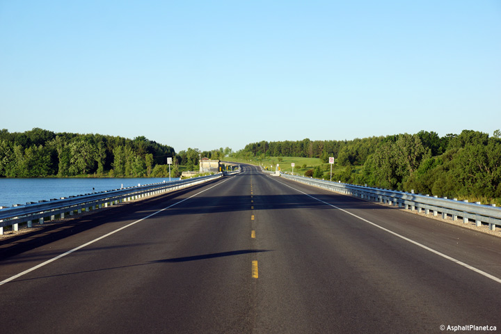
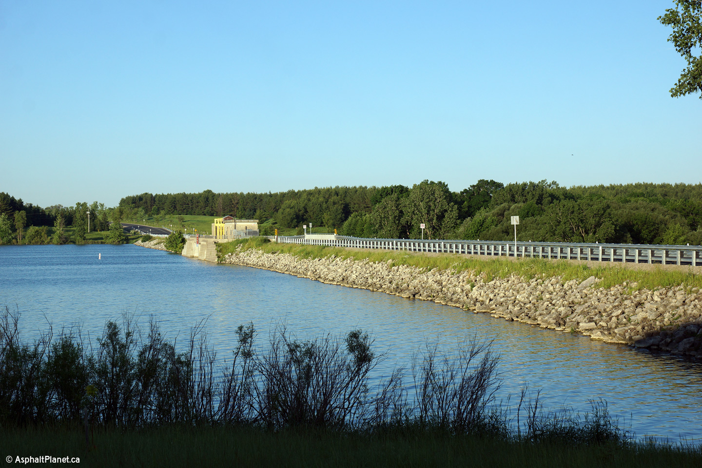
| Township of Perth South County of Perth |
This picture is looking west along Highway 7/19 over the Trout Creek and Wildwood Lake Dam site. This is one of very few modern highways in Ontario to cross an active dam. Click here for an earlier view from the same vantage point taken, August 2004.
Photos taken: June 15th, 2014. |
(720x480) (1440x960) (2400x1600)
|
||
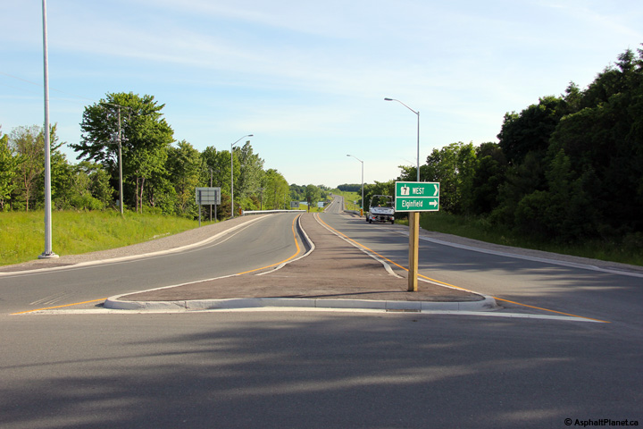
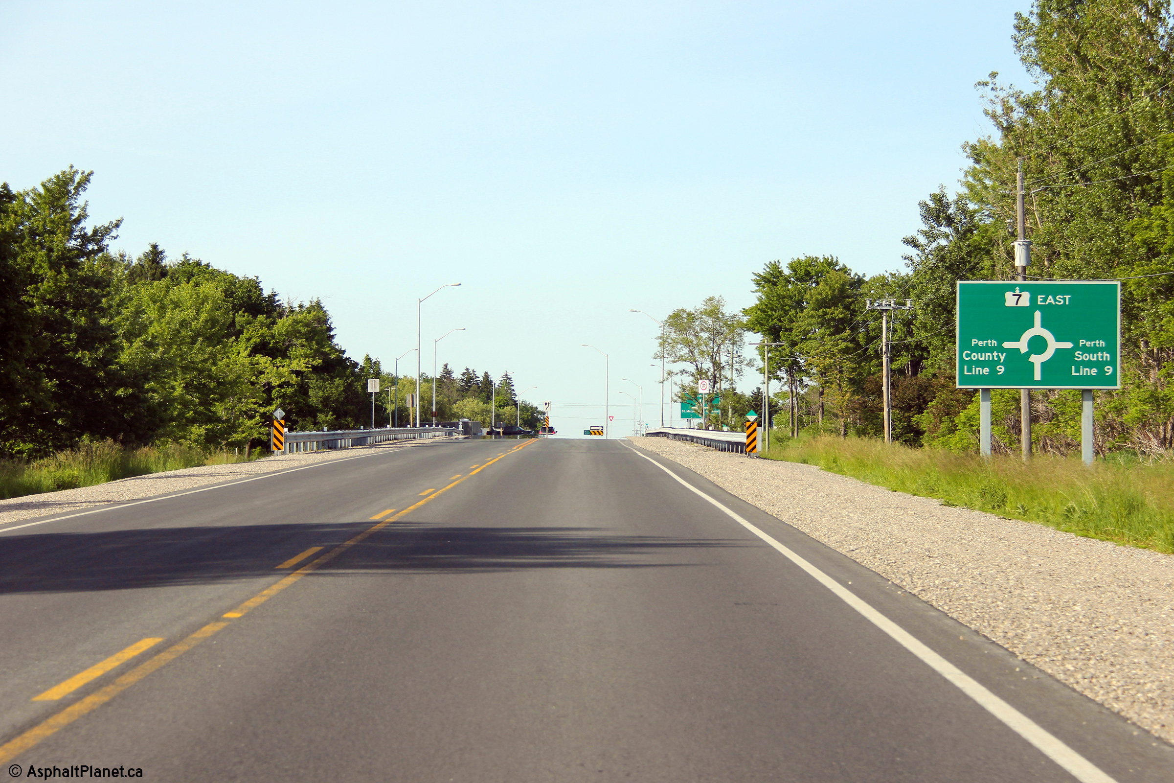
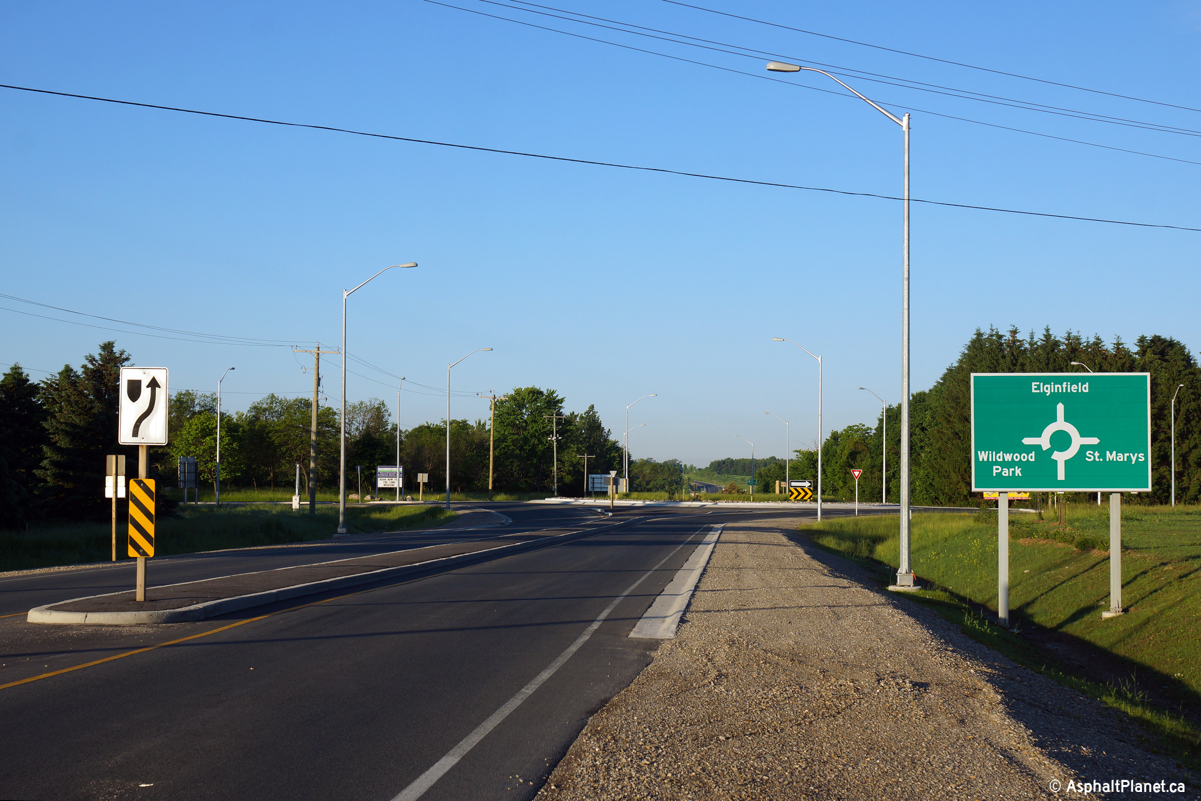
| Township of Perth South County of Perth |
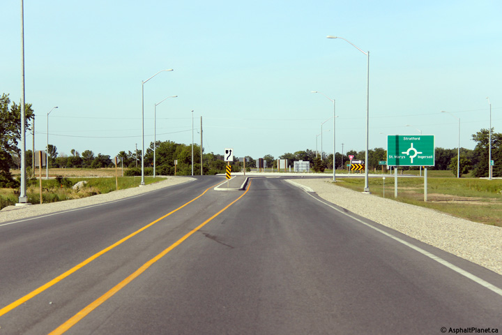
Signage approaching the Perth Line 9 roundabout. Photo taken: June 15th, 2014. |
 (720x480) (720x480)(1440x960) (2400x1600) |
||
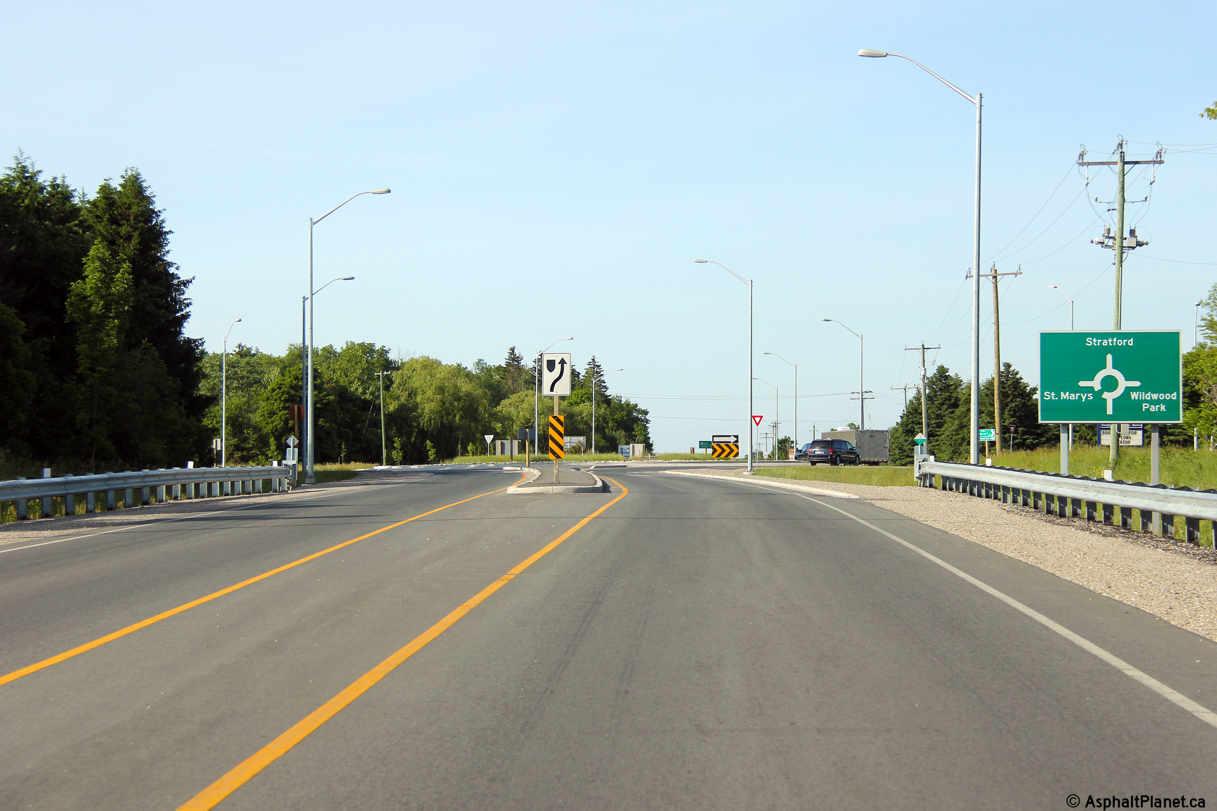
| Township of Perth South County of Perth |
Destination signage approaching the Perth Line 9 roundabout. Photo taken: June 15th, 2014. |
 (720x480) (720x480)(1440x960) (2400x1600) |
||
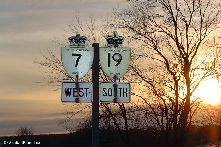
| Township of Perth South County of Perth |
An old reassurance marker for the Highway 7/19
co-designation in Perth County. This sign has been removed since this
photo was taken. Photo taken: January 10th, 2004. |
|
||
| Township of Perth South County of Perth |
Looking westerly towards Wildwood Dam from the Perth Line 9 Roundabout. Photo taken: June 15th, 2014. |
 (720x480) (1440x960) (2400x1600) |
||
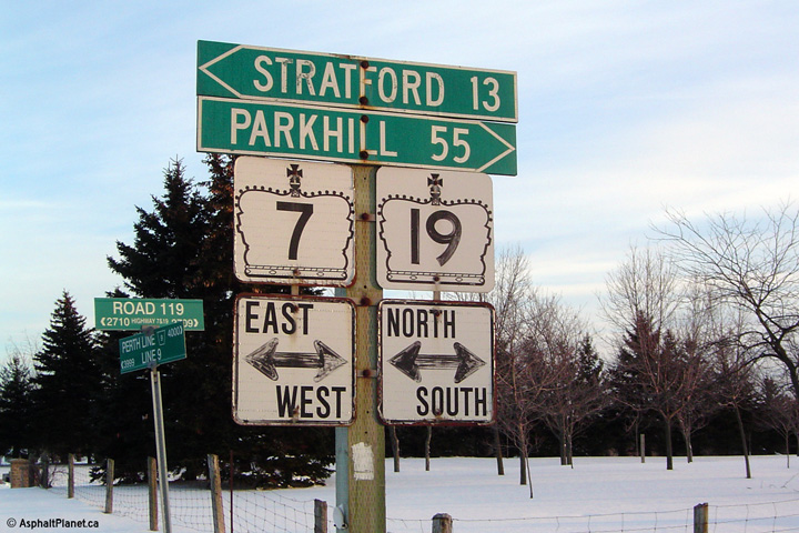
| Township of Perth South County of Perth |
Signage at the eastern end of the St. Marys by-pass for Highway 7/19.
Highway 19 was transferred to local municipalities north of Highway 401 on
January 1st, 1998. This signage was removed during a large resigning
project that took place later in 2004. Photo taken: January 10th, 2004. |
|
||
| Township of Perth South County of Perth |
Contrast the former junction assembly signage above with the current signage
for the Perth Line 9 roundabout. Photo taken: June 15th, 2014. |
|
||
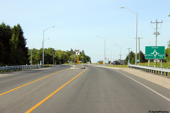
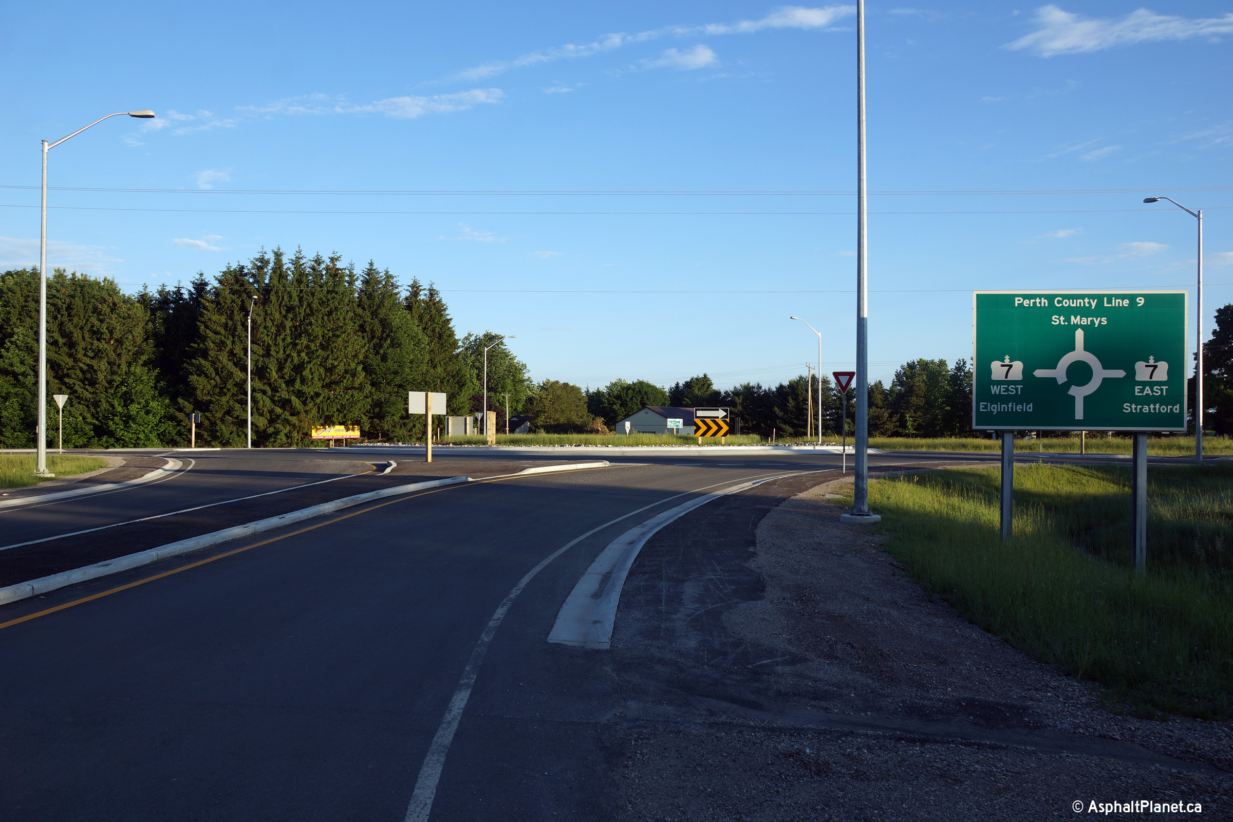
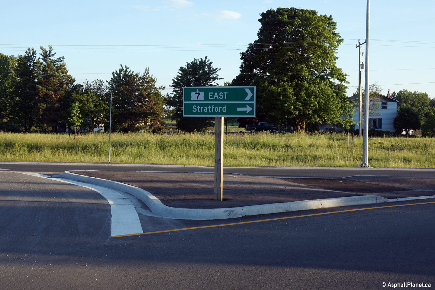
| Township of Perth South County of Perth |
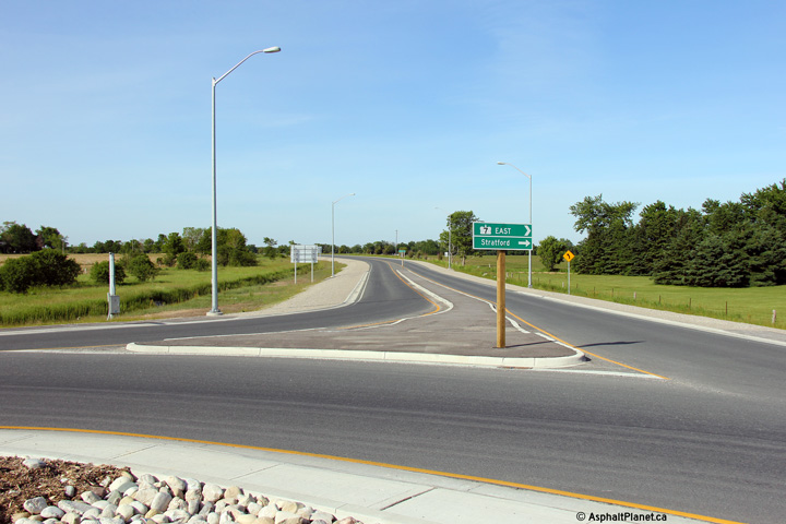
Close-up of the signage directing traffic from the roundabout to the eastern
leg of Highway 7. Note the differing arrow styles for the road name
versus the control city. This is typical roundabout exit signage in
Ontario. Photo taken: June 15th, 2014. |
 (720x480) (720x480)(1440x960) |
||
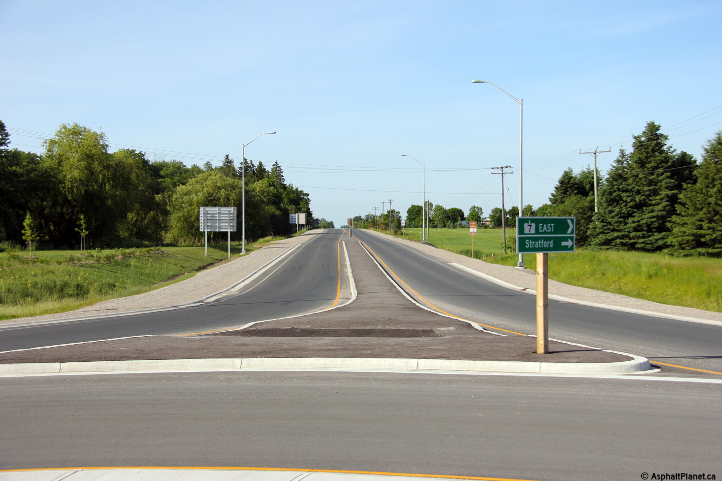
| Township of Perth South County of Perth |
Easterly view along Highway 7 from the Perth Line 9 roundabout. Photo taken: June 15th, 2014. |
 (720x480) (1440x960) (2400x1600) |
||
| Township of Perth South County of Perth |
Westbound destination signage approaching the Perth Line 9 roundabout. Photo taken: June 15th, 2014. |
 (720x480) (720x480)(1440x960) (2400x1600) |
||
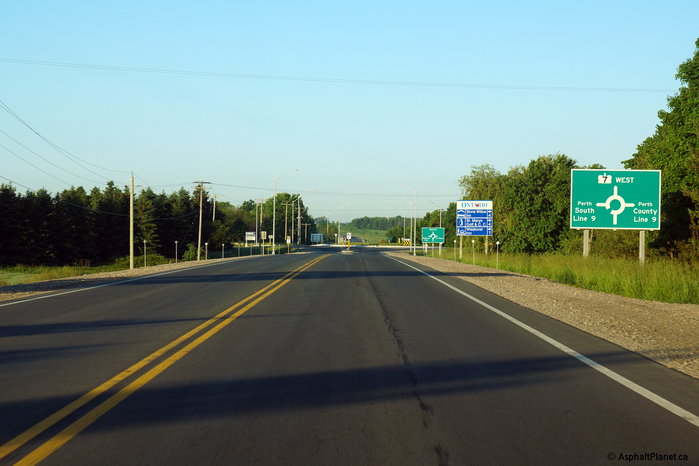
| Township of Perth South County of Perth |
Westbound signage approaching the Perth Line 9 roundabout. Photo taken: June 15th, 2014. |
 (720x480) (720x480)(1440x960) (2400x1600) |
||
| Township of Perth South County of Perth |
Easterly view approaching the Perth Line 20 intersection. A modern
roundabout is scheduled to be constructed at this intersection starting in
2014, though construction may have been deferred to 2015. Photo taken: June 15th, 2014. |
 (720x480) (1440x960) (2400x1600) |
||
| Township of Perth South County of Perth |
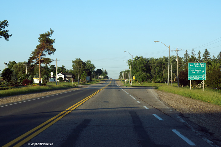
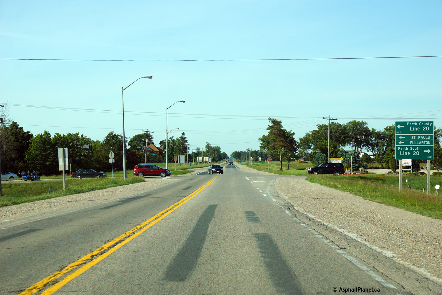
Westerly view approaching the Perth Line 20 intersection. Perth Line
20 is a useful cut-off route from Highway 7 to Highway 83 west of Fullarton. Photo taken: June 15th, 2014. |
 (720x480) (1440x960) (2400x1600) |
||
| Township of Perth South County of Perth |
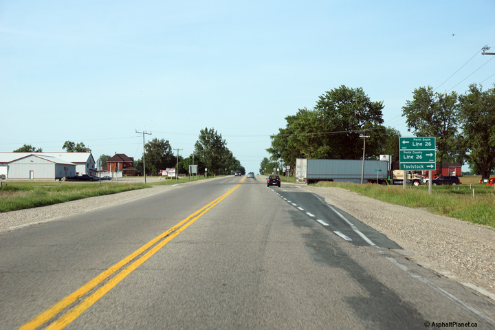
Easterly view at the Perth Line 26 intersection. Perth Line 26, via
Tavistock, forms a popular, though unofficial by-pass of Stratford, as Perth
Line 26 rejoins Highway 7/8 (after changing county road numbers four times)
at the western edge of New Hamburg. Photo taken: June 15th, 2014. |
 (720x480) (1440x960) (2400x1600) |
||
| Township of Perth South County of Perth |
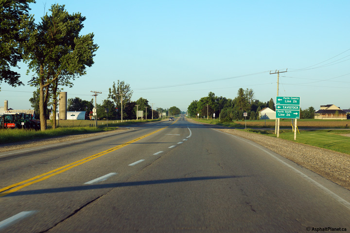
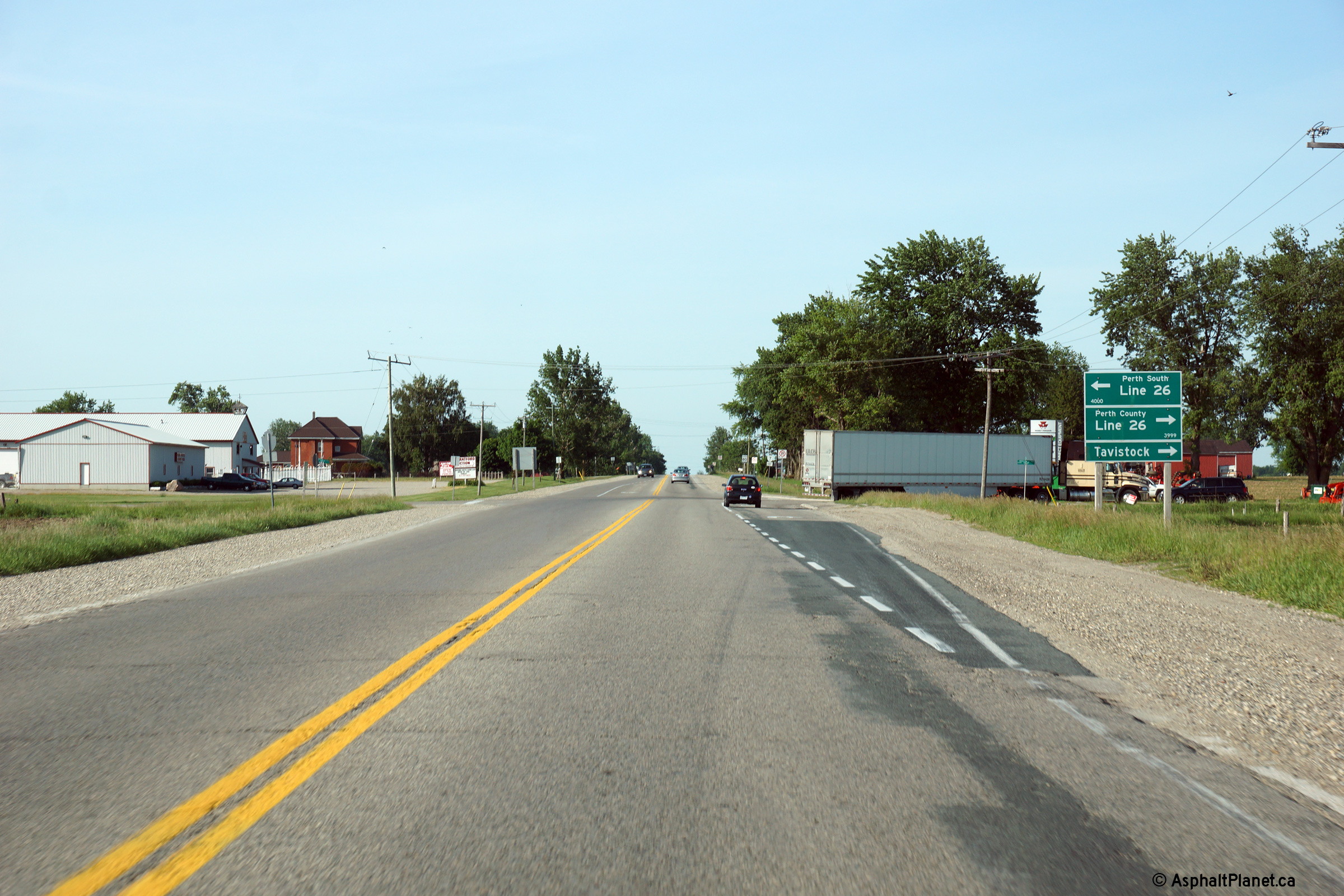
Westerly view at the Perth Line 26 intersection. As with the Perth
Line 20 intersection, a modern roundabout will be constructed at this
intersection in the future. Construction was envisioned to take place
during the 2014 construction season, however as this text is being written
in September, 2014, and a contract has yet to be called, a completion date
of 2015 seems more likely. Photo taken: June 15th, 2014. |
 (720x480) (1440x960) (2400x1600) |
||
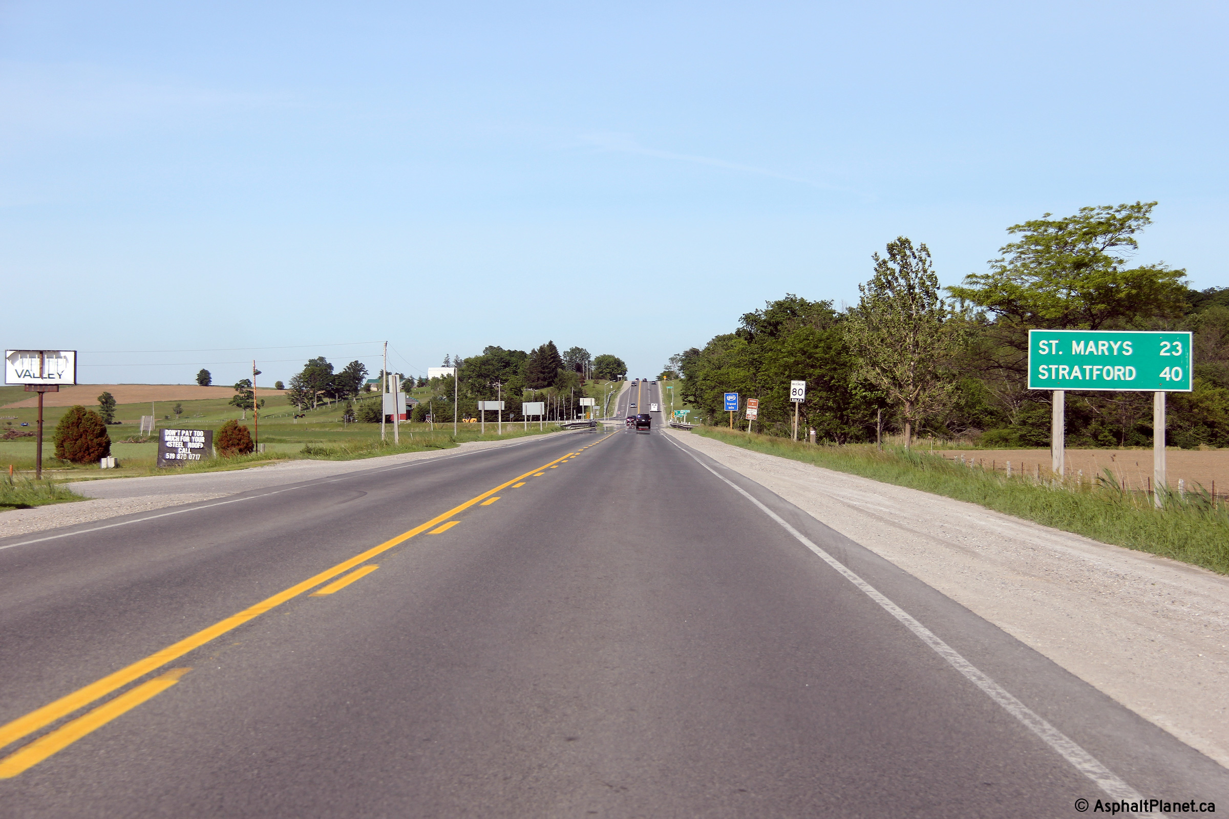
| Township of Perth South County of Perth |
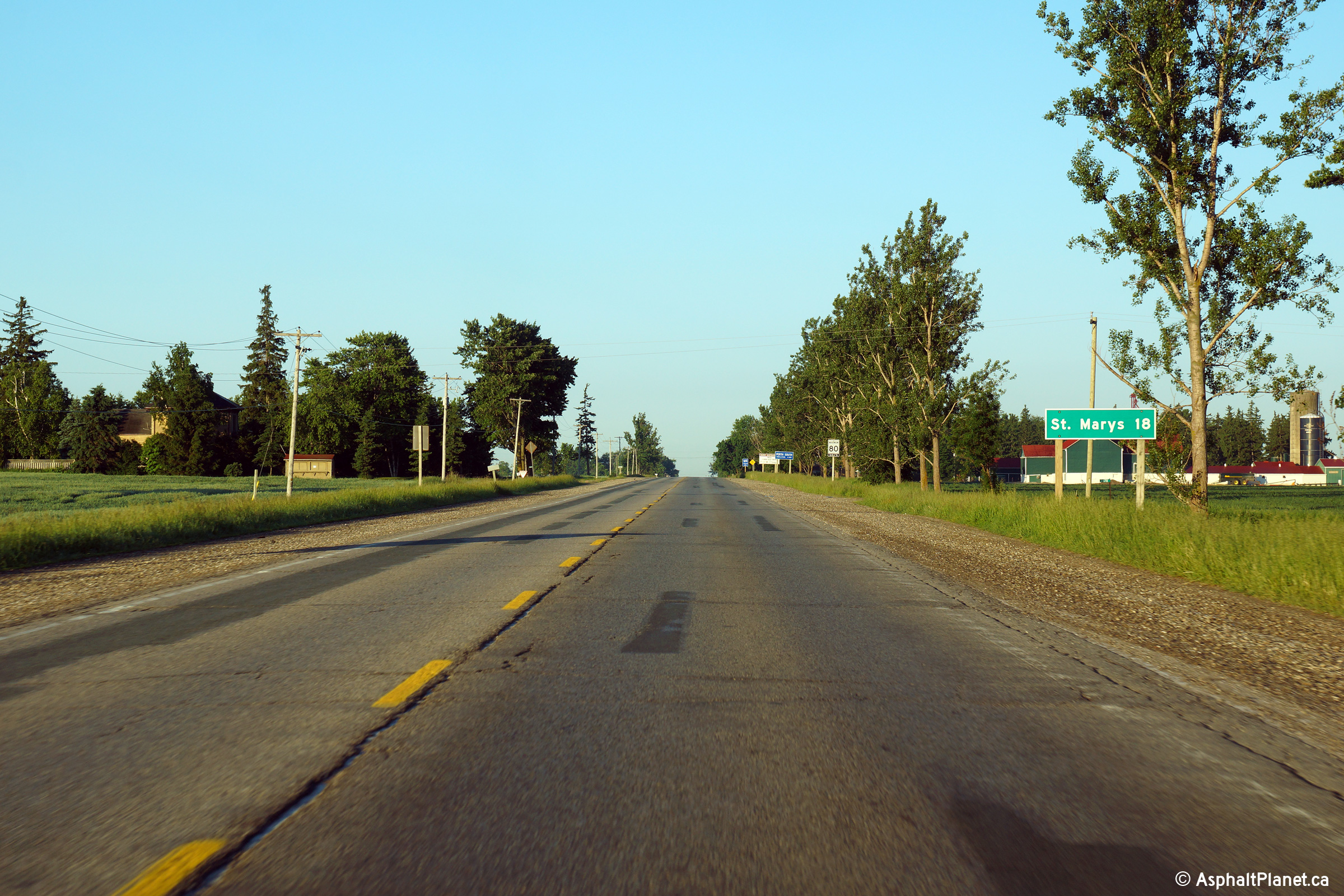
Distance signage for St. Marys leaving Stratford. Surprisingly, there
is no reference to London included on this distance signage. Photo taken: June 15th, 2014. |
 (720x480) (720x480)(1440x960) (2400x1600) |
||
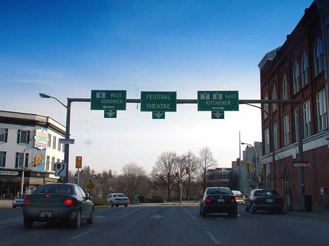
| City of Stratford |
This photo shows the junction of Highways 7 and 8 in Stratford. Stratford has very few reassurance markers and has removed all references to Highway 19. Before 1998 the furthest right sign on the gantry would have included a Highway 19 crown; 19 north is routed east along Ontario Street (concurrent with Highways 7 and 8) before heading north along Waterloo Street to Tralee. Picture taken April 16th, 2004. Size: 30kb. |
|
||
| Click here for New Hamburg to Guelph Images | ||||
<- Page 1A Images Highway 7 Images Index Page 1C Images ->
<- Highway 6 Images Back to Highway 7 Highway 7A Images ->
Copyright (c) 2004-2014, AsphaltPlanet.ca AsphaltPlanet@asphaltplanet.ca


