Pictures taken from driver's perspective appear offset from centre-line pictures:
Bound
Bound
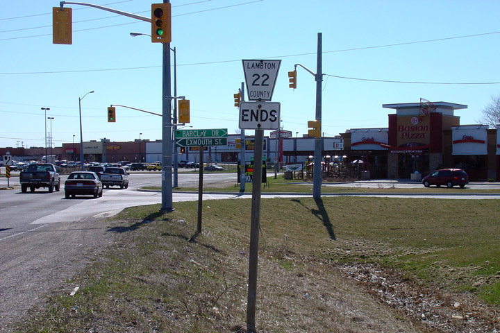
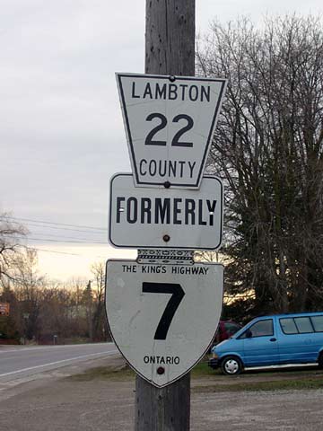
County of Lambton
Photo taken: April 13th, 2005.
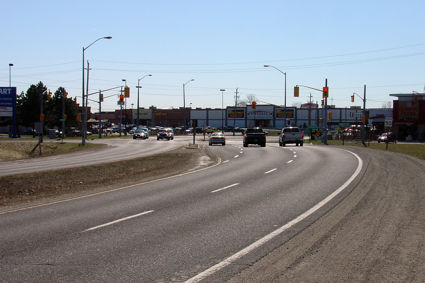
County of Lambton
Picture taken: April 13th, 2005.

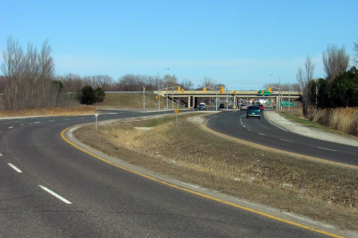
County of Lambton
Picture taken: April 13th, 2005.
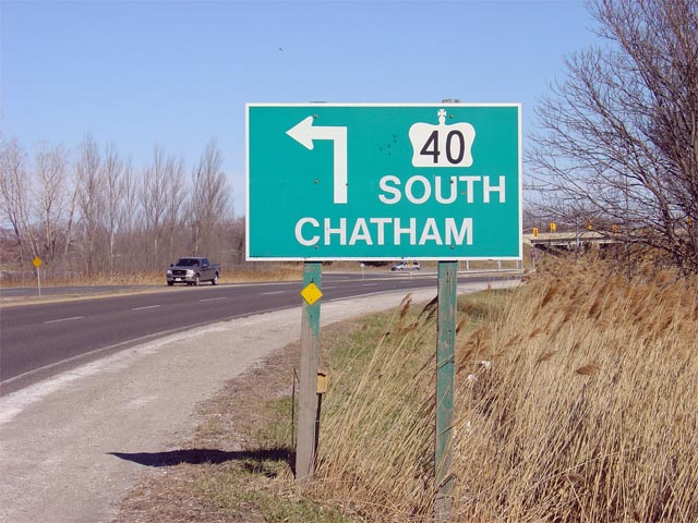
County of Lambton
Picture taken: April 13th, 2005.
County of Lambton
Picture taken: Size: 45kb.
County of Lambton
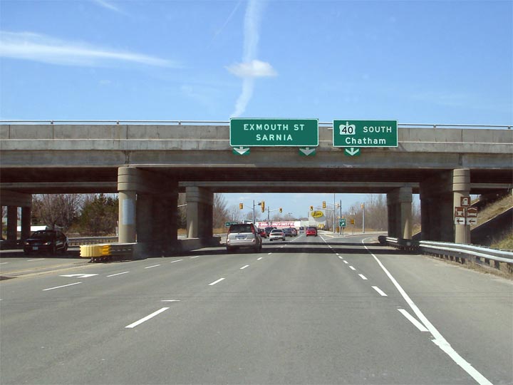
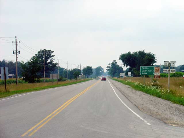
Looking west along Highway 7 towards the Highway 40 interchange in Sarnia. Before the days of the Highway 40 Sarnia Bypass Highway 7 actually continued into downtown Sarnia via London Road.
Picture taken: July 31st, 2004. Size: 40kb.
County of Lambton
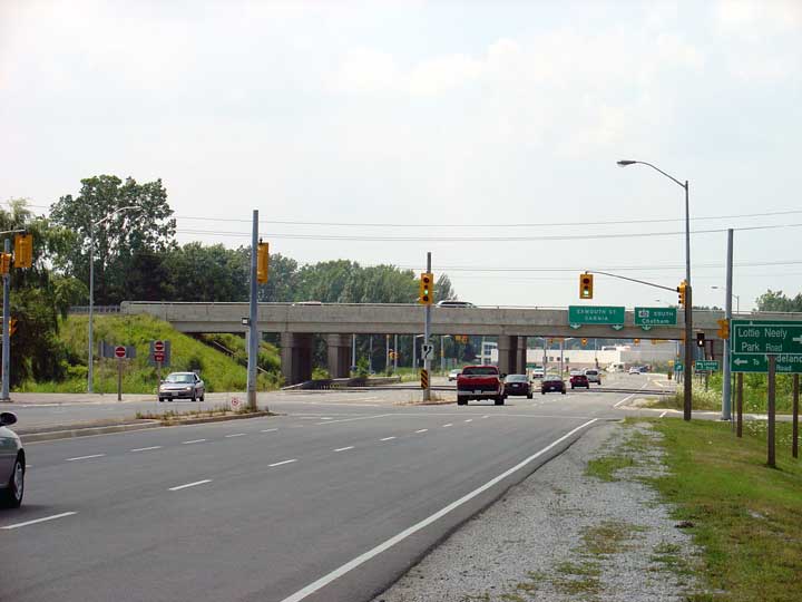
Highway 7 looking west from just east of Waterworks Road. Before the Highway 402 was constructed to bypass Highway 7, Highway 7 was the main thoroughfare connecting Sarnia and the Bluewater Bridge to the rest of South Central Ontario. Because of the highway's former importance, it was built to the highest design standards (of its day), and still has a very major feel to this day, even after being bypassed for over 30 years.
Picture taken: July 31st, 2004

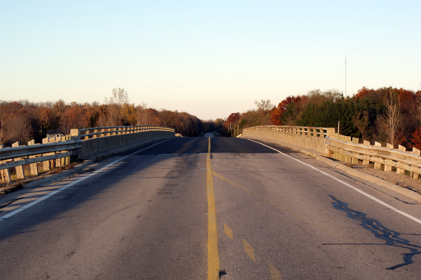
County of Lambton
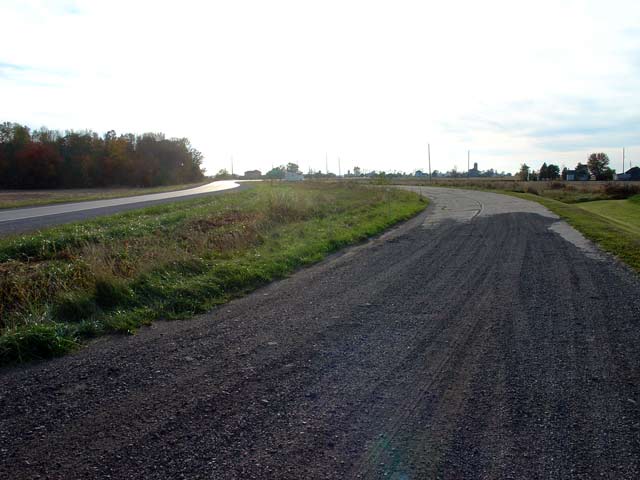
Old meets new. This picture shows an original 1930s banked curve that was later bypassed with a much more gentle curvature. This picture was taken just to the east of Forest Road (Old Highway 21 North) and it looks west.
Picture taken: October 12th, 2004
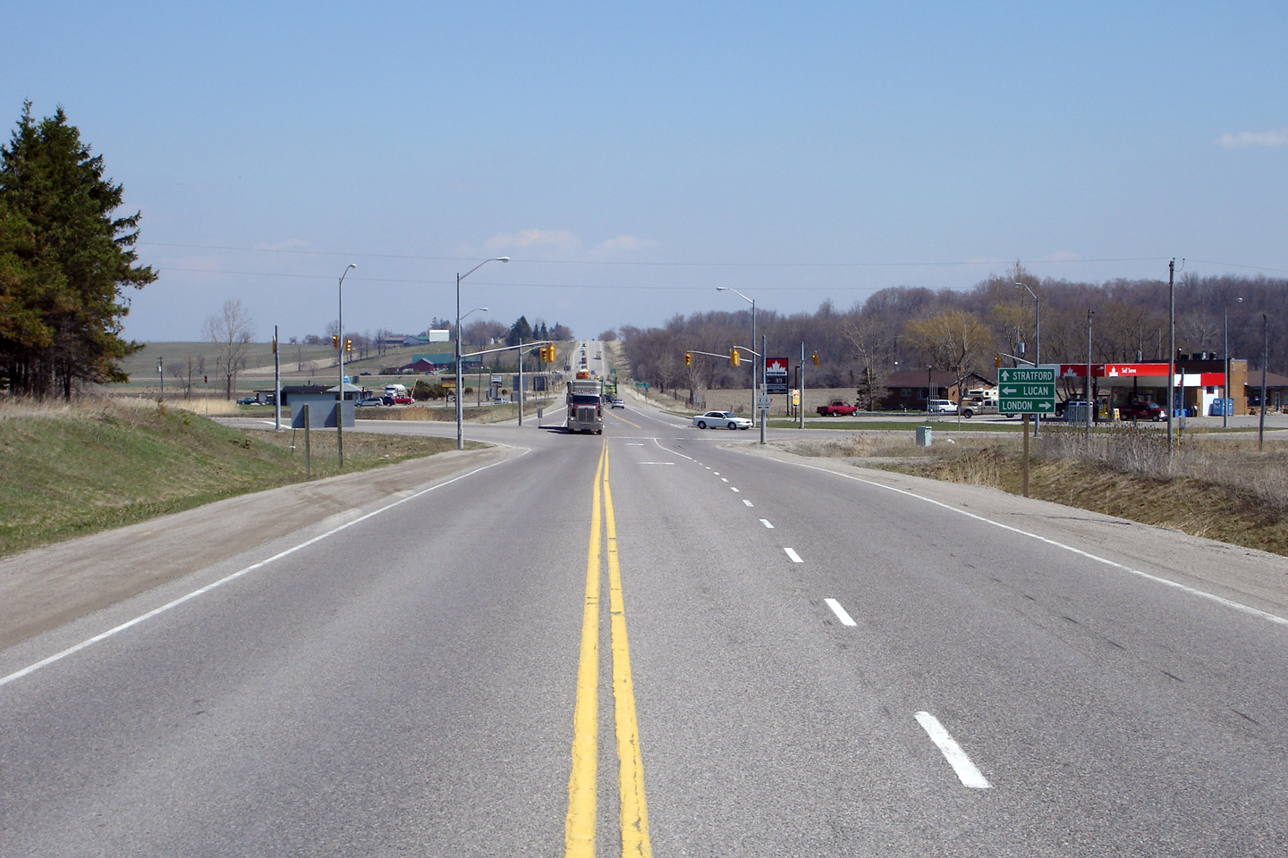
County of Lambton
Photo taken: November 1st, 2008.
(720x480) (1440x960)
County of Lambton
Photo taken: July 31st, 2004.
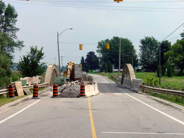
County of Lambton
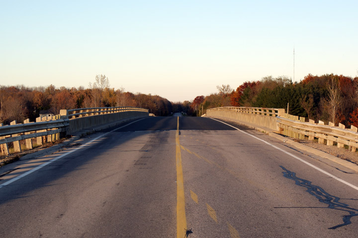
Highway 7 looking east in the community of Warwick. This Concrete Bowstring bridge has been lovingly reconstructed by Lambton County. While the bridge rehabilitation did not restore the structure exactly to its 1930 specifications, it did include some historical modifications including embossed railings. Many of these Bowstring bridges are reaching the end of there life-spans at present, and unfortunately many are being replaced with more modern styled structures.
Picture taken: July 31st, 2004
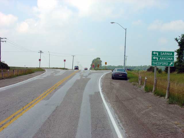
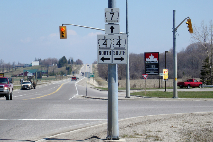
County of Lambton
Highway 7 at the northern junction of Highway 79 just south of Thedford. (Before being downloaded of course) to stay on Highway 7 you must turn left at Highway 79. Highway 7 ran concurrently with Highway 79 for about 20 km until Highway 79 turned south towards Watford. A Right turn at the pictured junction would lead drivers through Thedford, ultimately to Highway 21 at Port Franks
Picture taken: July 31st, 2004
Lambton - Middlesex Boundary
This photo is looking east over the Ausable River Bridge which is located on the Middlesex-Lambton county line. In the distance you can see that Middlesex is resurfacing Highway 7 just to the east of the bridge. Middlesex has been very quick to resurface downloaded highways that lie in there jurisdiction. The County of Middlesex maintains an its County Road system to an excellent standard.
Picture taken: July 31st, 2004
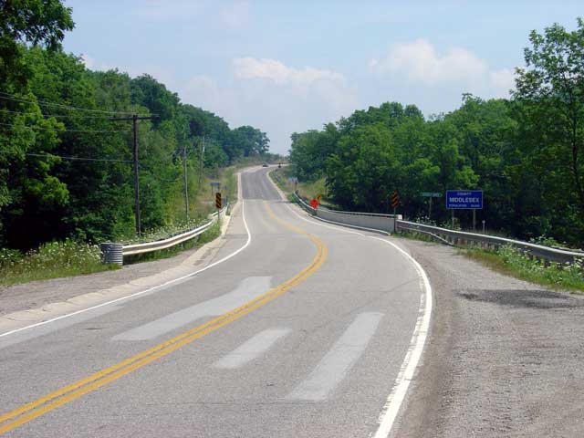
County of Middlesex
Photo taken: November 1st, 2008.
(720x480) (1440x960)
County of Middlesex
Picture taken: July 31st, 2004
County of Middlesex
Photo taken: April 13th, 2006.
(720x480) (1440x960)
County of Middlesex
Photo taken: April 13th, 2006.
 (720x480)
(1440x960)