|
Proper Municipality Name |
Photo Description |
Photo |
|
Pictures taken
from driver's perspective appear offset from centre-line pictures: |
East-
Bound |
West-
Bound |
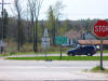
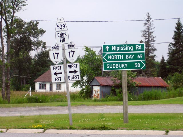
| Township of Markstay Warren |
Southern (western) junction assembly for Highway
539 at the Highway 17 junction in Warren.
Picture taken: July 1st, 2006. Size: 70kb. |
 |
|
Highway 17 is the Trans-Canada
Highway.
Click here for Highway 17 Images. |
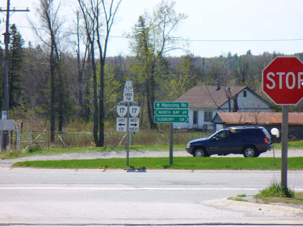
| Township of Markstay Warren |
Another view of the southern (western) junction assembly at
Highway 17. Picture courtesy: Patrick
Gaudreau -- used with permission. Size: 45kb. |
 |
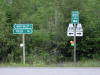
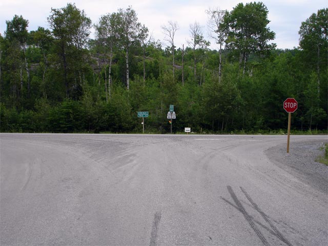
| Township of West Nipissing |
View looking easterly along Highway 539 at the
Highway 539A junction. At this junction, traffic must turn right to
continue along Highway 539 South (East). Picture taken: July 1st, 2006.
Low-res: 60kb. High-res: 255kb. |

Low-res
High-res |
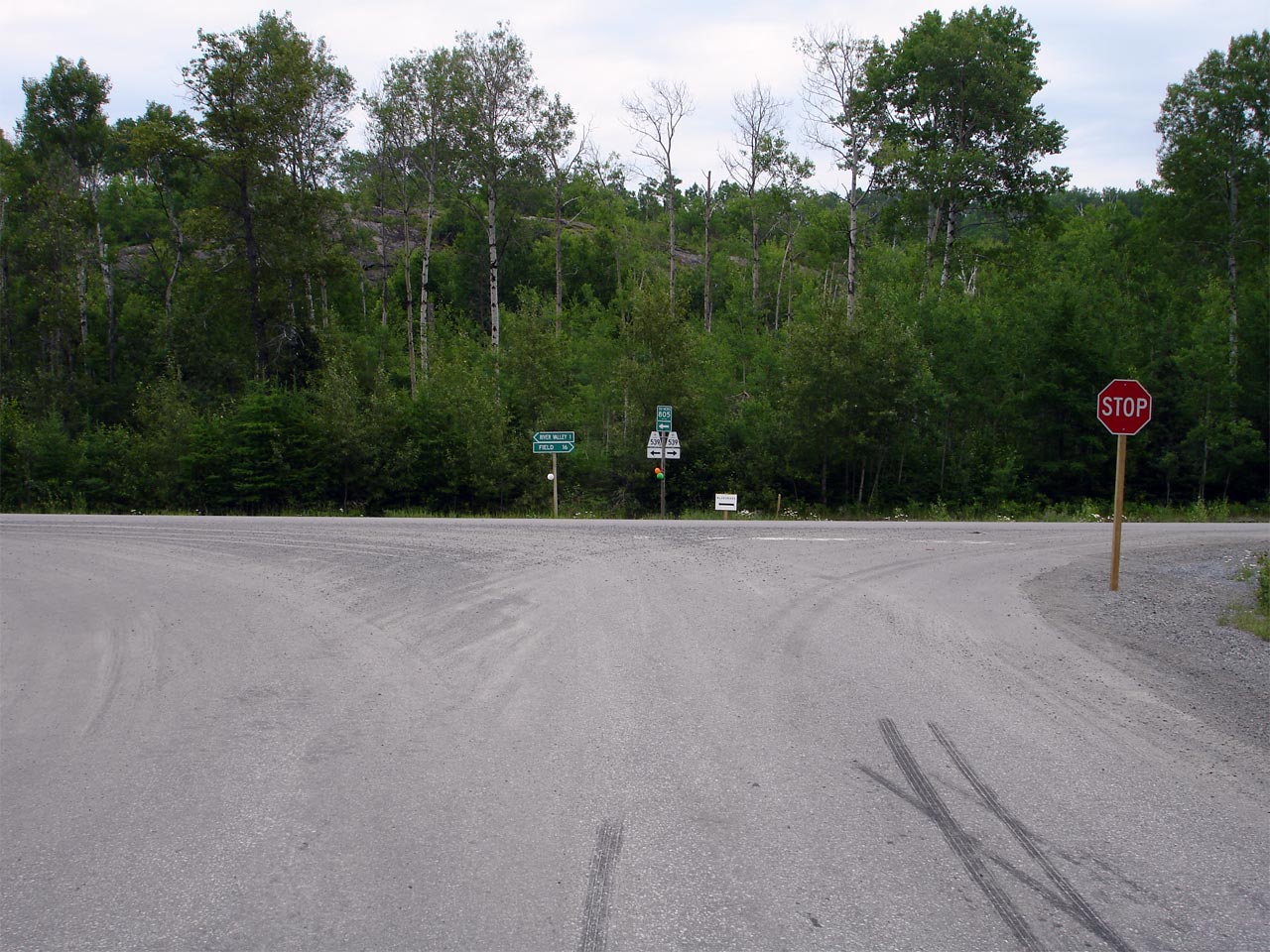
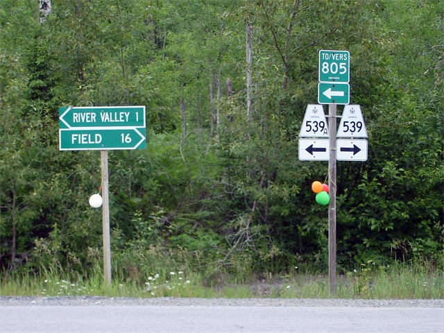
| Township of West Nipissing |
Junction assembly that greets eastbound vehicles
at the Highway 539A junction Picture taken: July 1st, 2006. Size:
85kb. |
 |
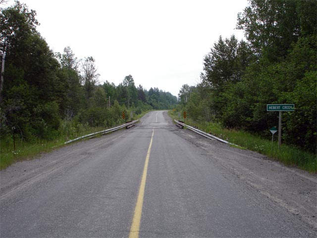
| Township of West Nipissing |
View looking southerly along Highway 539 as it
crosses the Hebert River between Verner and River Valley. Picture taken:
July 1st, 2006. Low-res: 55kb. High-res: 235kb. |
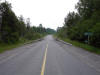
Low-res
High-res |
|
Highway 64 runs north and south
from Highway 539 to Highway 11 and Highway 69.
Click here for Highway 64 Images. |
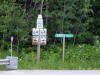
| Township of West Nipissing |
Junction assembly at the other southern terminus of Highway 539. This
eastern southern terminus of Highway 539 is located in Field at the
Highway 64 junction. Picture taken:
July 1st, 2006. Size: 85kb. |
 |
