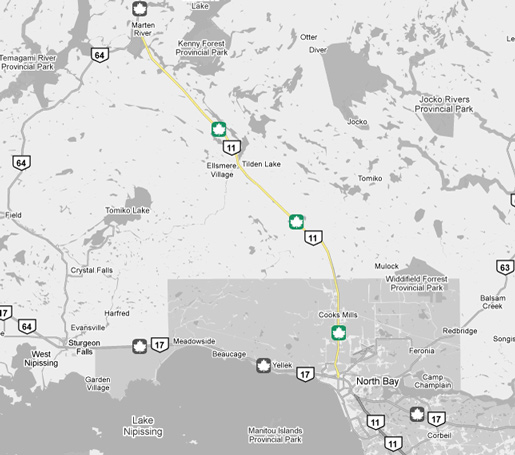
King's Highway 11 - Images
<- Page 2F Page 3 - North Bay to Marten River Page 3B->
Photos shown in this table are arranged from South to North:
| Proper Municipality Name | Photo Description | Photo | |
|
Photos taken from driver's perspective appear offset from centre-line Photos: |
North- Bound |
South- Bound |
|
| Highway 11 Photos continue from Page 2 | |||
| Highway 17 is the Trans-Canada Highway, running from Manitoba to Quebec. Click here for Highway 17 images. | |||
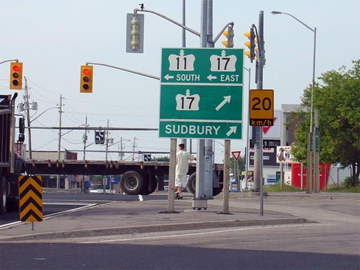
| City of North Bay |
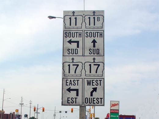
Signage for Highway 11 and 17
at the western Highway 17 junction.
Though not indicated on this sign, straight ahead is Algonquin Avenue (which
formerly carried the Highway 11B designation) and leads travelers into
Downtown North Bay. Photo size: 40kb. |
 |
|
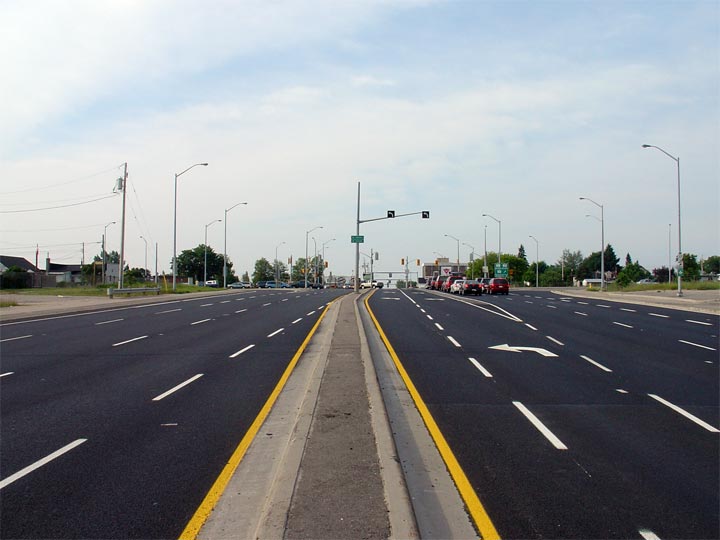
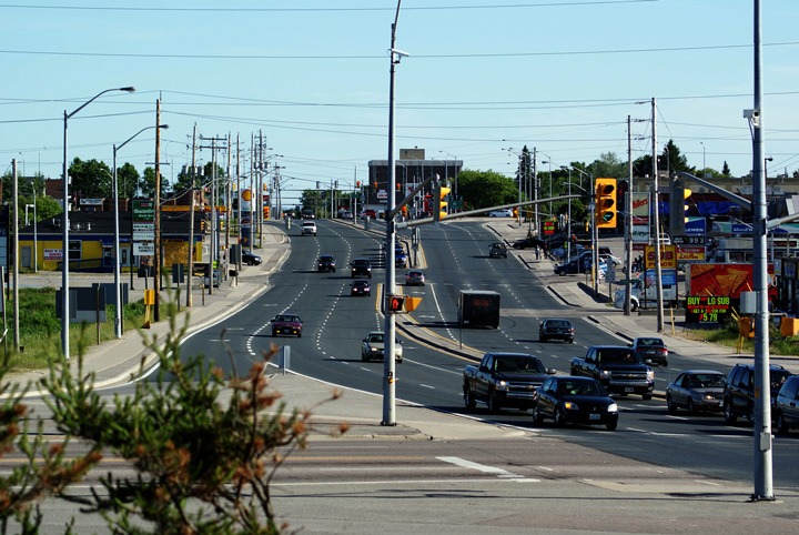
| City of North Bay |
Highway 11 looking south towards the eastern
Highway 17 junction. At this intersection, traffic wishing to continue
south along Highway 11 must turn left, heading southeast along the North Bay
By-pass. Photo taken: July 4th, 2005. Size: 50kb. |
 |
|
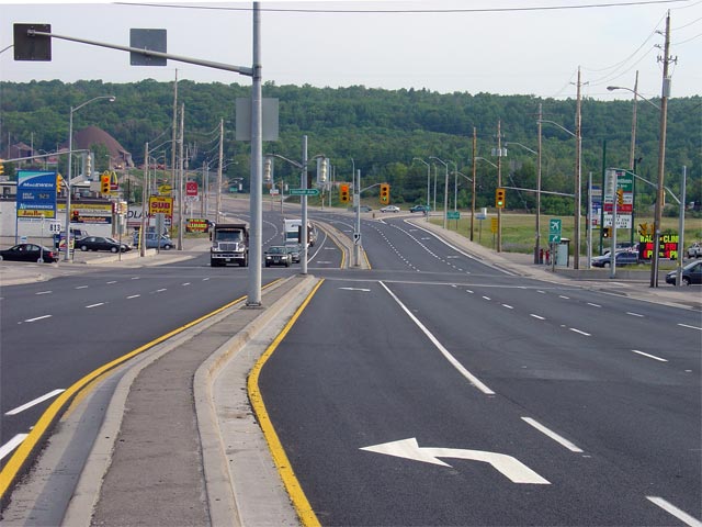
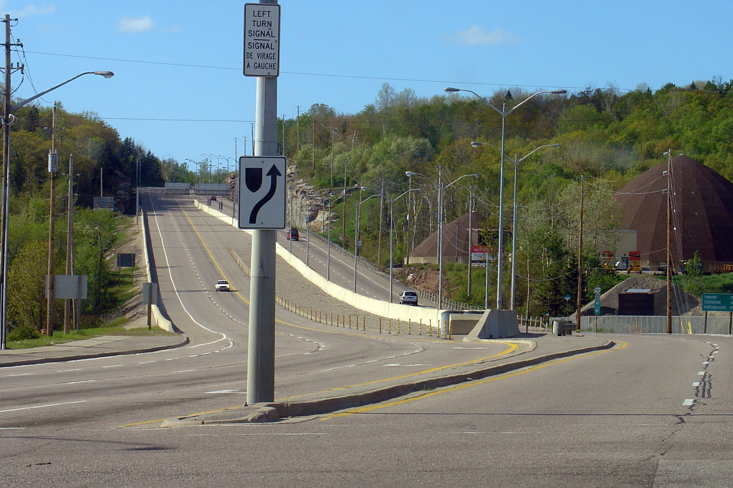
| City of North Bay |
Looking north along Highway 11 towards the signalized intersection with
Shirreff Avenue. This is the first of two signalized intersections
located north of Highway 17 in North Bay. Photo taken: July 4th, 2005. Size: 60kb. |
 |
|
| City of North Bay |
Junction assembly for southbound Highway 11 traffic approaching the North
Bay By-pass. At this junction, southbound traffic must turn left
following the North Bay By-pass towards Toronto and Ottawa. Straight
ahead is Highway 11B (Algonquin Avenue) which leads travelers into Downtown
North Bay. Photo size: 25kb. |
 |
|
| City of North Bay |
View looking southerly along Highway 11 from the Airport Road intersection.
Highway 11 passes through a series of quick intersections before
intersecting with Highway 17. Photo taken: June 27th, 2009. |
 |
|
| City of North Bay |
This view looks northerly from Airport Road as Highway 11 climbs the long
hill to depart North Bay. Highway 11 is an undivided
4-lane highway for about 5km north of North Bay. North of that,
Highway 11 is a conventional 2-lane highway for virtually the entire length
to Thunder Bay. Upper photo taken: May 29th, 2004. Lower photo taken: June 27th, 2009. |
 |
|
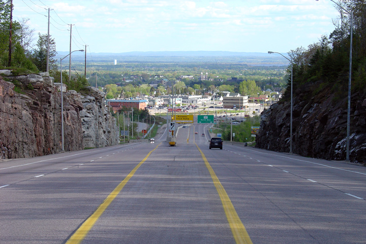
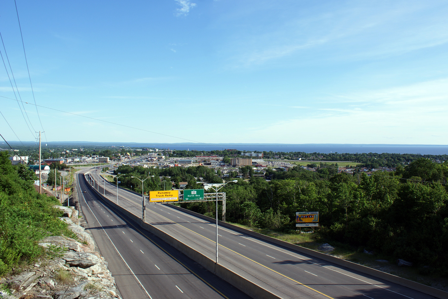
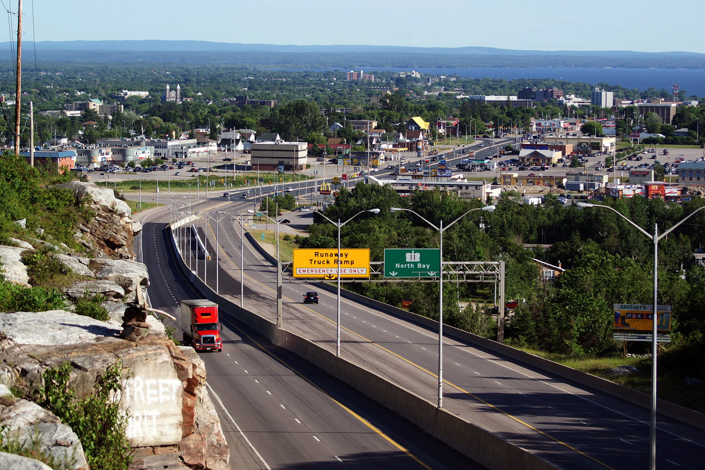
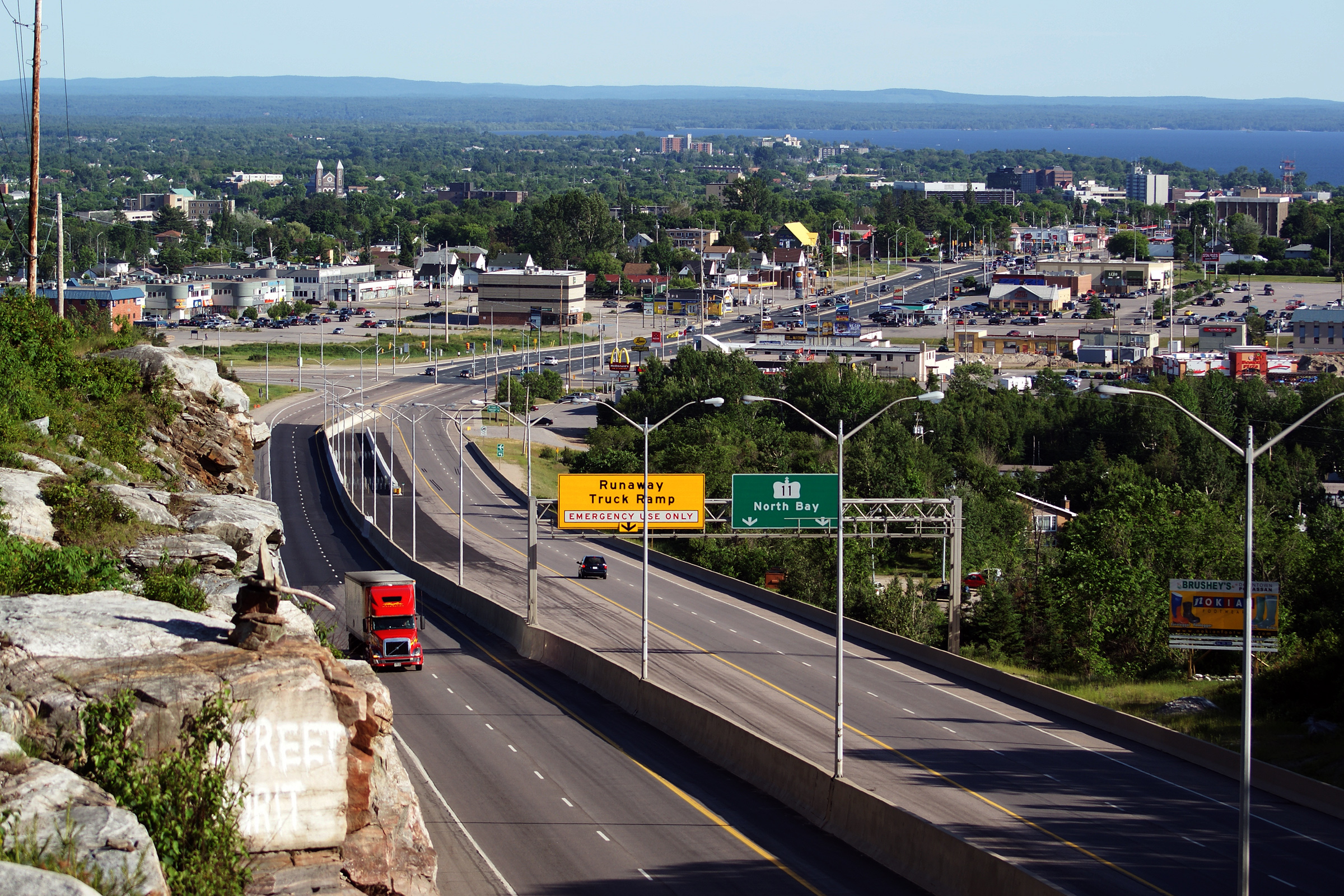
| City of North Bay |
Two views from the top of the rock cut of Highway 11 descending down the
hill. The view of North Bay is unspeakably impressive from this rock
cut -- the photos simply don't capture how beautiful the city is as it hugs
the north shore of Lake Nipissing. To take this photo, I parked my car
at Northgate Mall and proceeded to cycle my mountain bike from there.
Let me assure you that cycling a mountain bike up the Algonquin Avenue hill
is no small feat. Photos taken: June 27th, 2009 |
 |
|
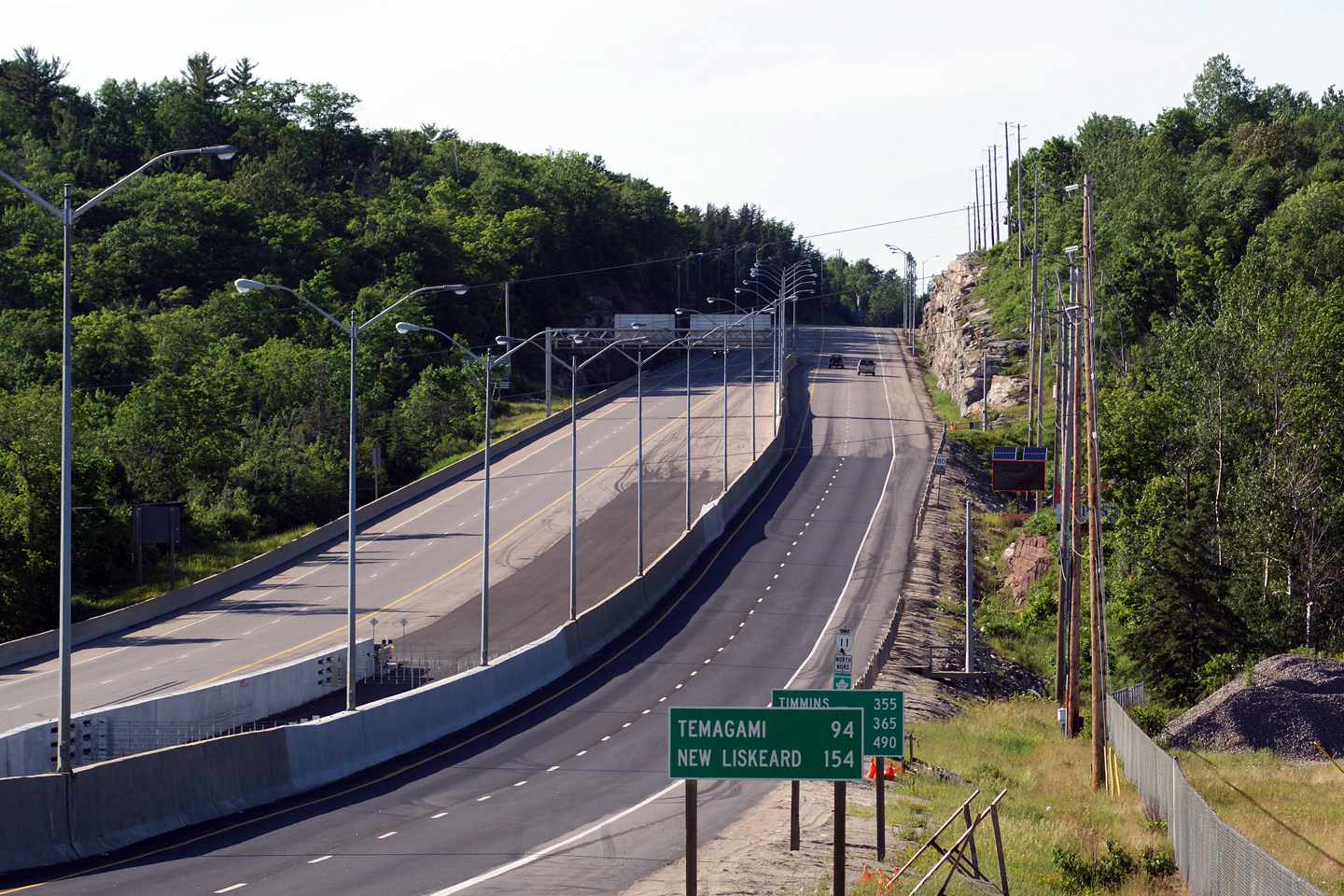
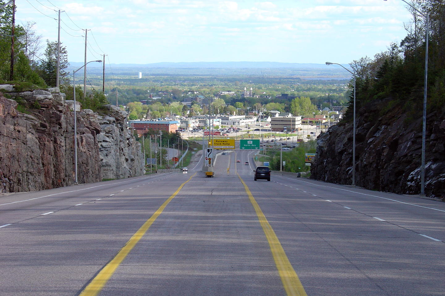
| City of North Bay |
Highway 11 looking south from just south of Cedar Heights Road in North Bay. South of Cedar Heights Road, Highway 11 begins the large decent into North Bay. Note the difference in the design of the run away truck lane between the 2004 photo and the 2009 photo. Photo taken: May 29th, 2004. Size: 60kb. |
 |
|
| City of North Bay |
View of Highway 11 from north of Cedar Heights Boulevard. The large
ridge the bounds North Bay to the north of the city has limited virtually
all development north of the city. even along Highway 11, there is
only sparse highway commercial along the roadside. Photo taken: June 27th, 2009. |
 |
|
| City of North Bay |
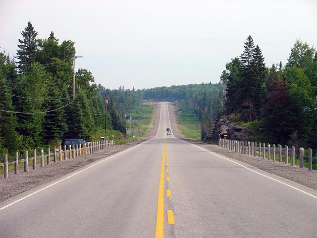
Looking north along Highway 11 from the northern North Bay City Limits.
The northern North Bay City limits are located roughly 14km north of
Highway 17. Photo taken: July 4th, 2005. Size: 55kb. |
 |
|
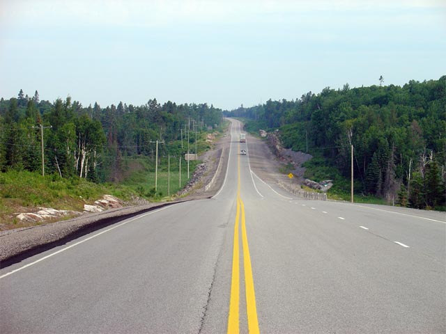
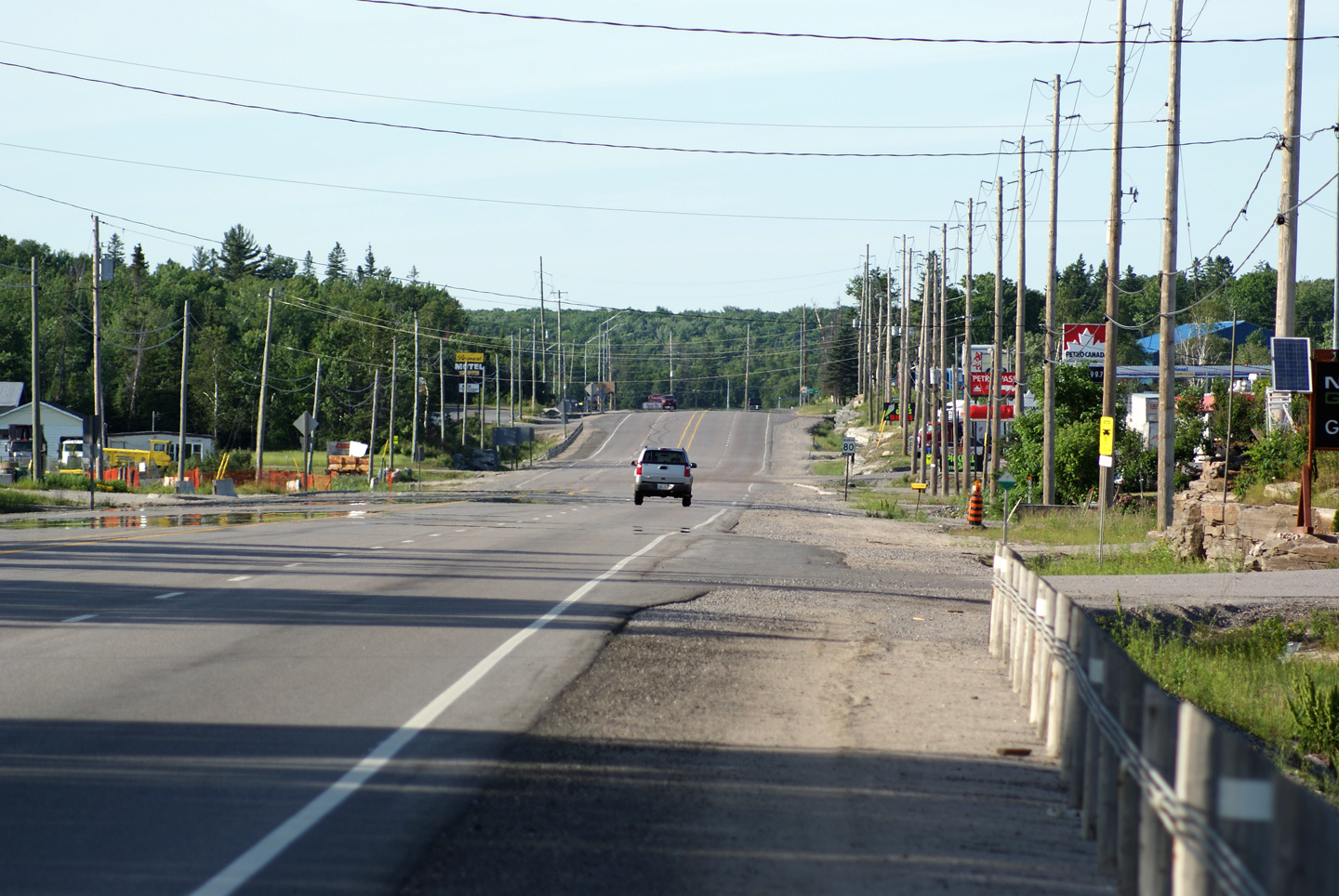
| District of Nipissing |
Looking north along Highway 11 from about 10km north of the North Bay City
Limits. As evident from the photo, the stretch of Highway 11
immediately north of North Bay has been fairly recently rehabilitated. Photo taken: July 4th, 2005. Size: 50kb. |
 |
|
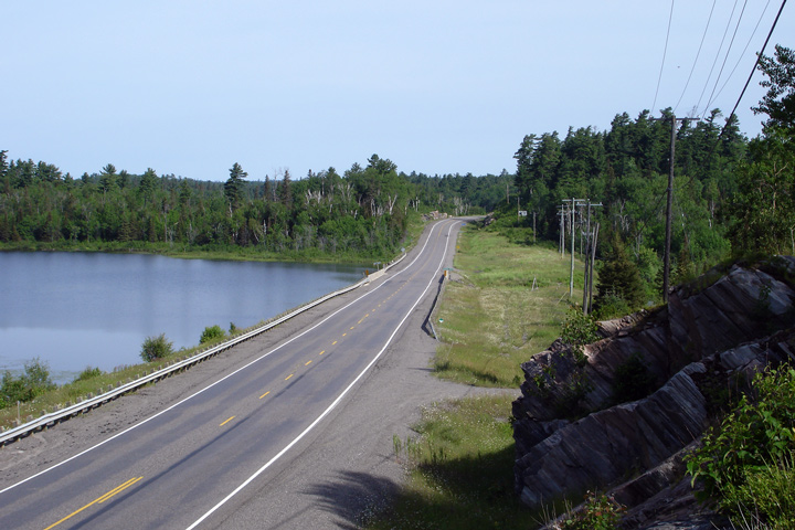
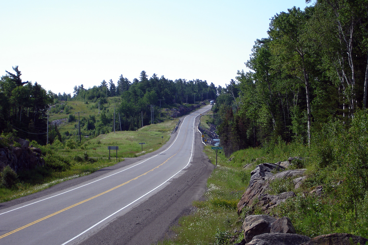
| District of Nipissing |
Highway 11 looking south through Tilden Lake across the Tomiko River Bridge.
Notice the southbound passing lane visible in the distance of this photo. Photo taken: July 4th, 2005. Size: 50kb. |
 |
|
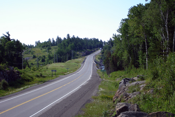
| District of Nipissing |
Highway 11 looking north from just north of Tilden Lake. This photo
shows the start of a northbound passing lane. Photo taken: July 4th, 2005. Size: 50kb. |
 |
|
| District of Nipissing |
Looking north along Highway 11, from just north of the previous Photo. Photo taken: July 4th, 2005. Size: 65kb. |
 |
|
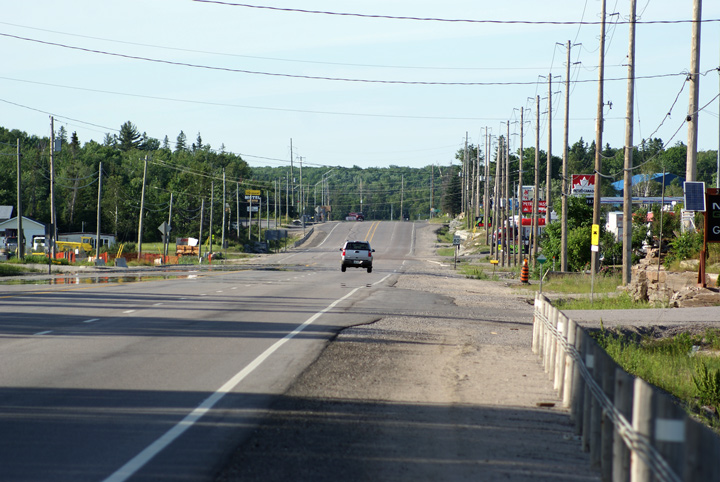
| Town of Temagami District of Nipissing |
View looking north across the Marten River Bridge, just south of Marten
River. Photo taken: July 1st, 2006. Size: 50kb. |
 |
|
| Town of Tamagami District of Nipissing |
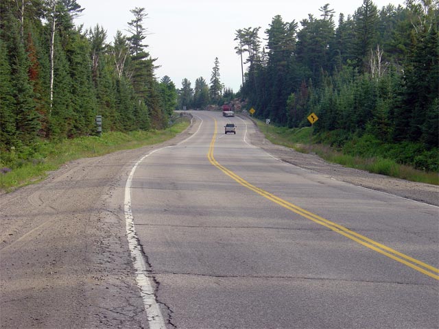
Highway 11 looking south from just south of the small community of Marten River.
Marten River is located a few kilometres south of the
Highway 64 junction. Photo taken: July 1st, 2006. Size: 60kb. |
 |
|
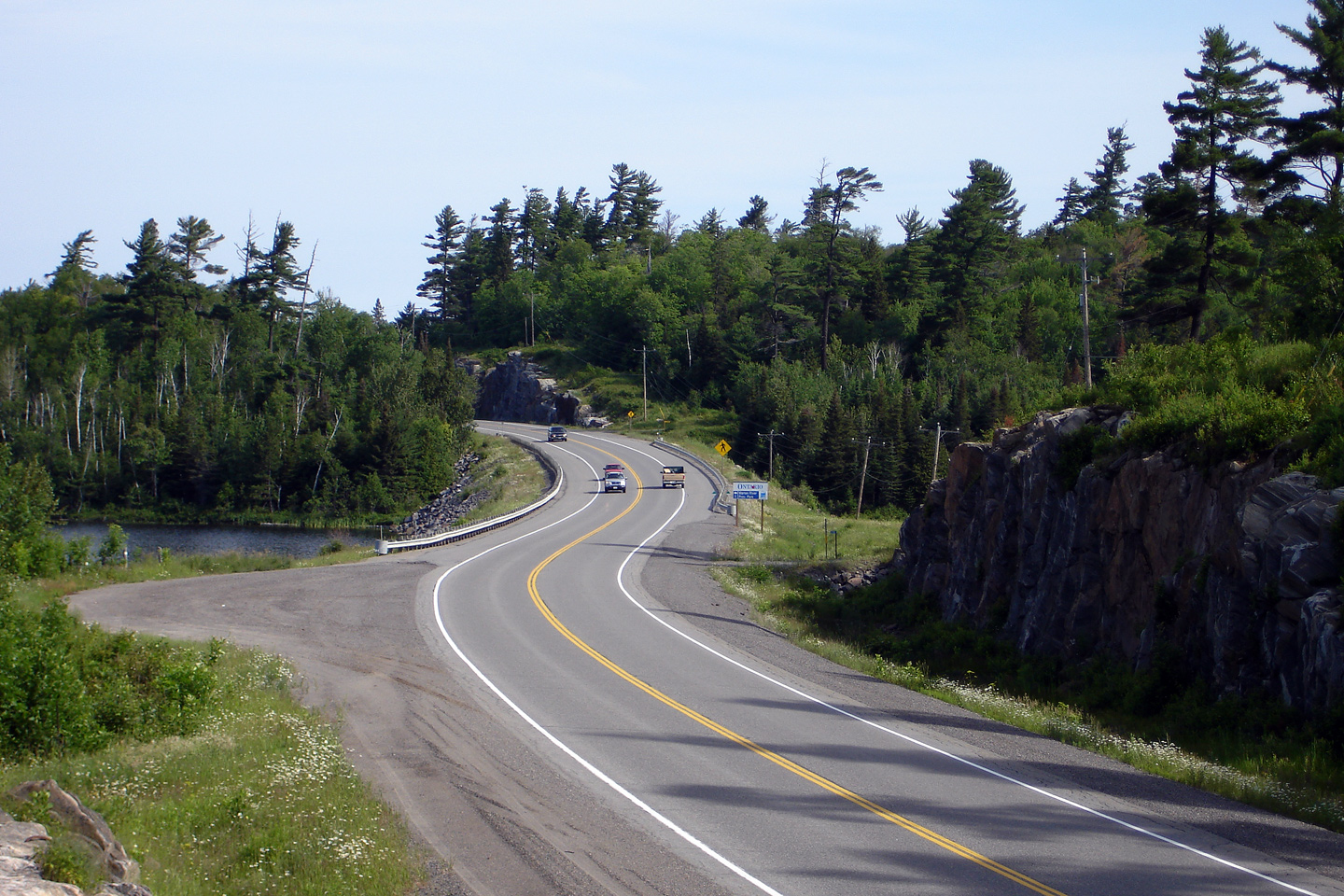
| Town of Temagami District of Nipissing |
Reversing curve along Highway 11 just south of Marten River Provincial Park. Photo taken: July 1st, 2006. Size: 55kb. |
 |
|
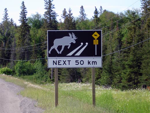
| Town of Temagami District of Nipissing |
Signage warning of moose on the road at night. Northeastern Region has erected quite a few of these signs warning of deer and moose on the road at night. |
 |
|
| Town of Temagami District of Nipissing |
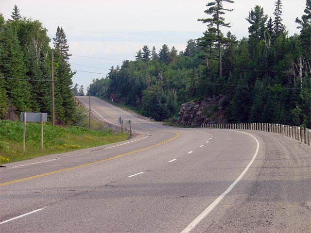
Looking north towards the Highway 64 junction located at the north end of
Marten River. Highway 64 is the first major junction to be located
along Highway 11 since North Bay; a distance of roughly 58km. Photo taken: July 1st, 2006. Size: 40kb. |
 |
|
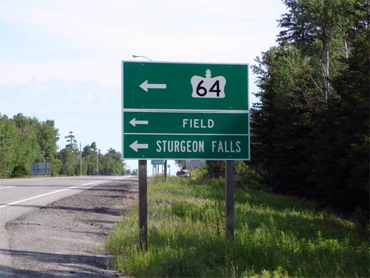
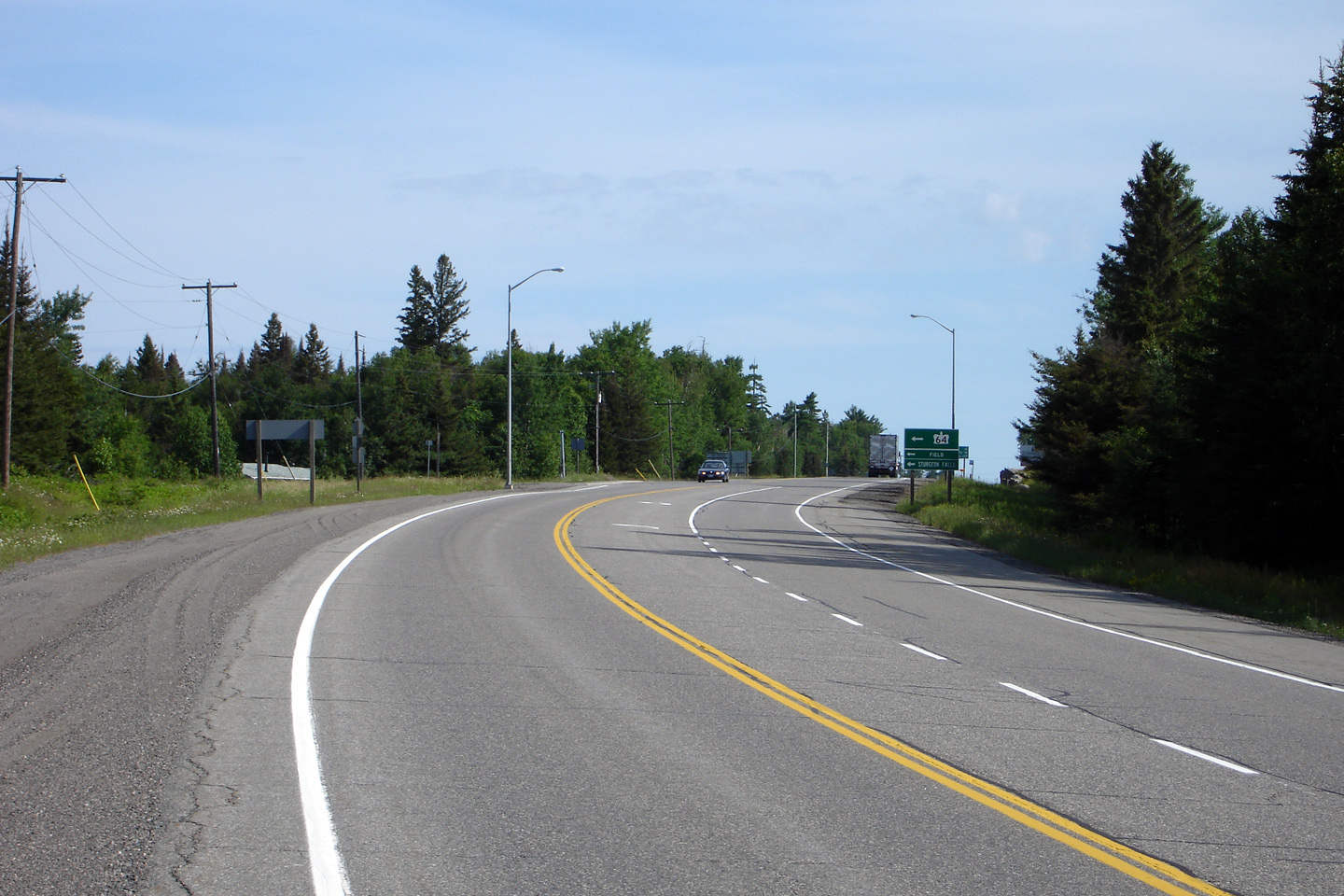
| Town of Temagami District of Nipissing |
Green signage at the Highway 64 junction for
northbound Highway 11 motorists. Photo size: 35kb. |
 |
|
| Highway 64 runs southwest of Highway 11, through Field, Sturgeon Falls, and eventually meets Highway 69. Click here for Highway 64 images. | |||
| Highway 11 Images continue westwards on Page 3B | |||
<- Page 2F Images Highway 11 Images Index Page 3B Images ->
<- Highway 10 Images Back to Highway 11 Highway 11A Images ->
Copyright (c) 2004-2014, Scott Steeves (Webmaster) AsphaltPlanet@asphaltplanet.ca

