|
Proper Municipality Name |
Photo Description |
Photo |
|
Pictures taken
from driver's perspective appear offset from centre-line pictures: |
East-
Bound |
West-
Bound |
|
Sunderland to Peterborough Images available
here |
|
Highway 7B follows a series of
Peterborough City Streets until it meets Highway 7 once again in Fowlers
Corners. Click here for Highway 7B images. |
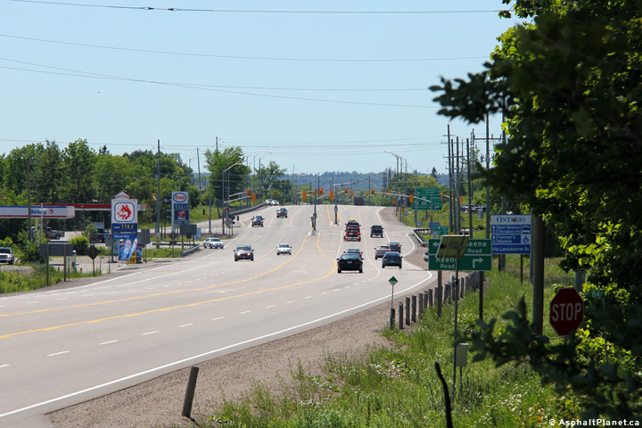
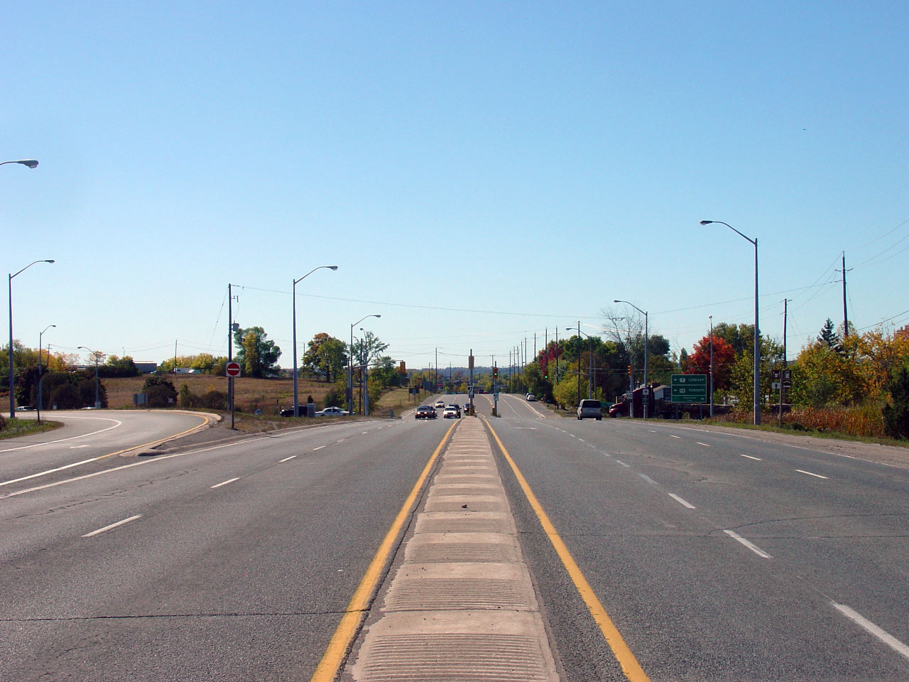
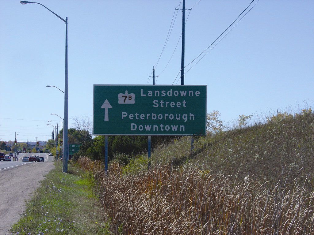
| City of Peterborough |
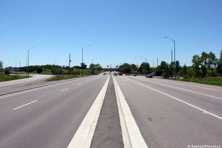
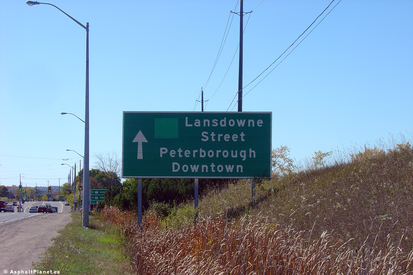
View looking westerly towards the Lansdowne Street and
Highway 115
intersection. Through traffic along Highway 7 must turn left at this
intersection. Upper photo taken: September 23rd, 2007. Lower photo
taken: June 14th, 2012. |

(720x480)
(1440x960)
(2400x1600) |
| City of Peterborough |
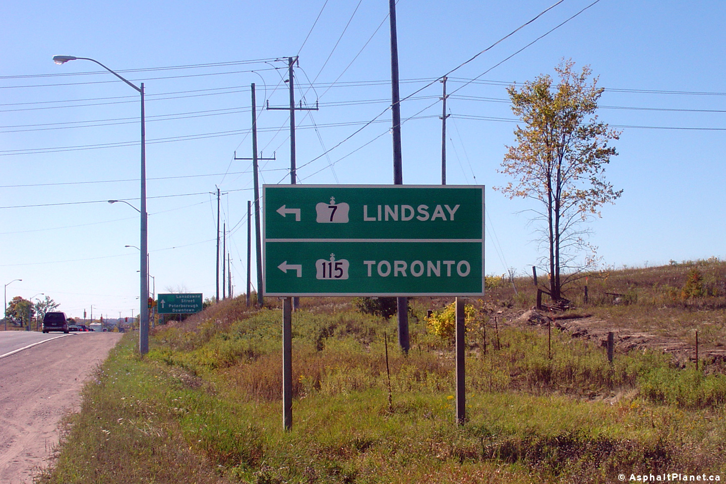
Large directional sign denoting the road ahead as Lansdowne Street. Notice
the paste-over covering up the former reference to Lansdowne Street as
Highway 7B. Peterborough is a confusing city to travel through without
any numbered routes. Without Highway 7B it is virtually
impossible for motorists to traverse Peterborough from east to west without
consulting a map. Click here to see Josh Anderchek's
computer generated version of this sign with a Highway 7B crown.
Photo taken: September 23rd, 2007. |
 (720x480) (720x480)
(1440x960) |
| City of Peterborough |
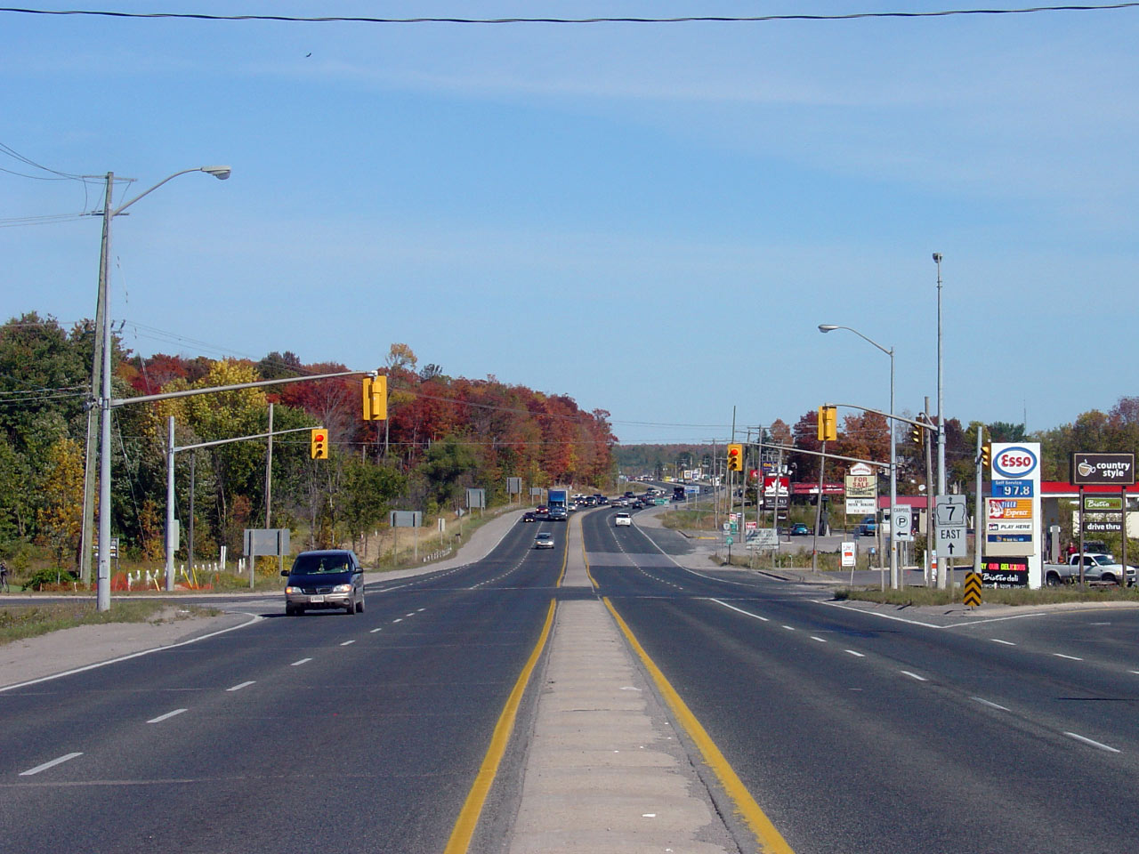
Advanced signage advising traffic of the start of the Peterborough by-pass
and Highway 115. Photo taken: September 23rd, 2007. |
 (720x480) (720x480)
(1440x960) |
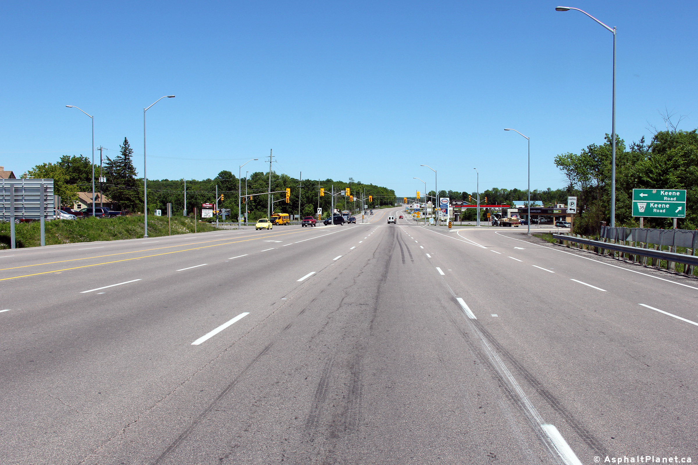
| Township of Otonabee- South
Monaghan County of Peterborough |
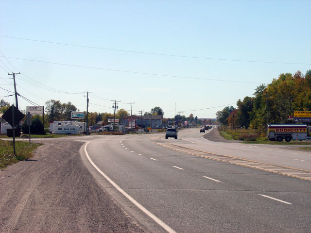
View looking easterly along Highway 7 towards the Keene Road intersection.
Keene Road is the only traffic signal between the Highway 115 and Highway 28
intersections east of Peterborough. Upper photo taken: September 23rd, 2007.
Lower photo taken: June 14th, 2012. |
(720x480)
(1440x960)
(2400x1600) |
| Township of Otonabee- South
Monaghan County of Peterborough |
These views look westerly towards the Keene Road intersection from Mark S.
Burnham Provincial Park. Upper photo taken: September 23rd, 2007. Lower
photo taken: June 14th, 2014. |
(720x480)
(1440x960)
(2400x1600) |
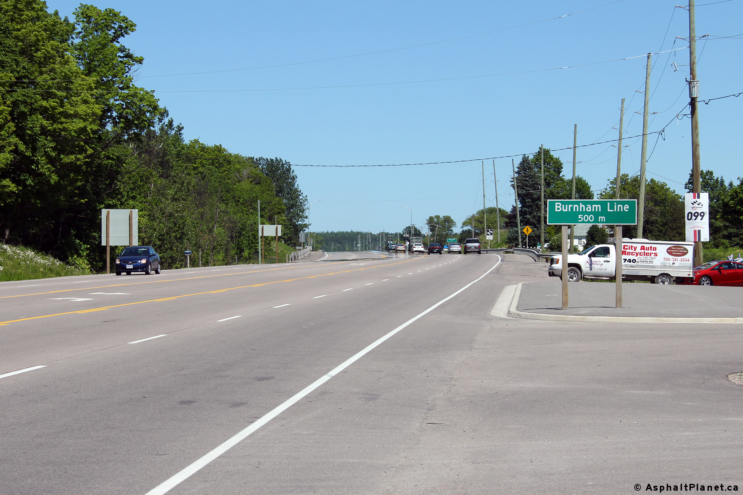
| Township of Otonabee- South
Monaghan County of Peterborough |
Distance signage situated east of the Keene Road intersection along Highway
7.
Photo taken: June 14th, 2014. |
 (720x480) (720x480)
(1440x960) |
| Township of Otonabee- South
Monaghan County of Peterborough |
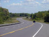
View of the reversing curve just east of Mark S. Burnham Provincial Park.
The former concrete singing median gave the road the appearance of being a
divided highway. The former concrete singing median along Highway 7
was removed in favour of a two-way centre turn lane when Highway 7 was
reconstructed and widened between Peterborough and Highway 28.
Upper photo taken: September 23rd, 2007.
Lower photo taken: June 14th, 2014. |
(720x480)
(1440x960)
(2400x1600) |
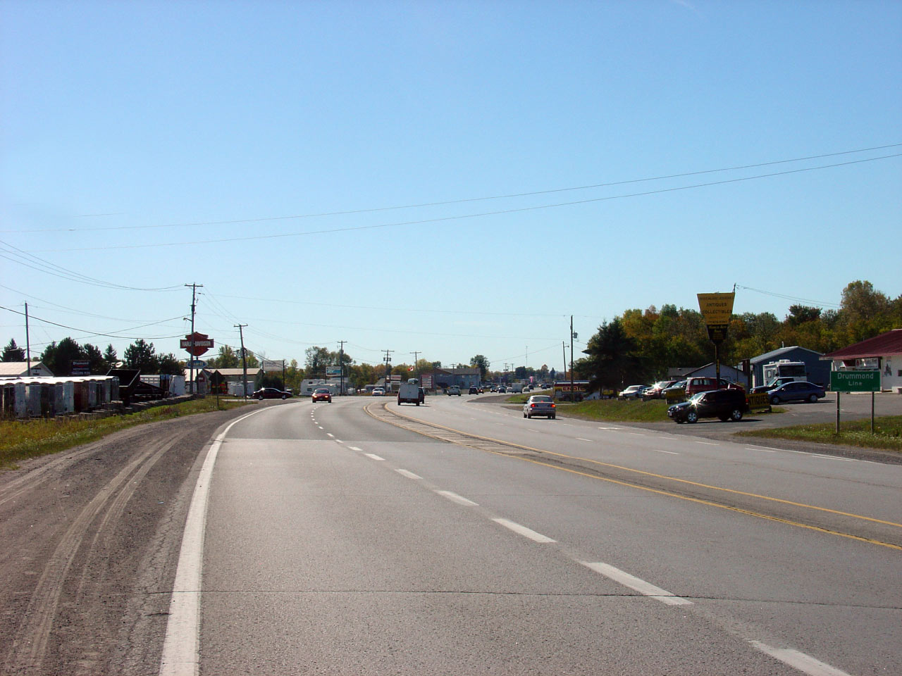
| Township of Otonabee- South
Monaghan County of Peterborough |
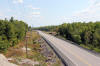
A series of three views looking westerly from the vicinity of the Drummond
Line intersection. Prior to the reconstruction and widening of Highway
7 between Highway 115 and Highway 28, Highway 7 narrowed from four to two
lanes just east of the Drummond Line intersection.
Upper photos taken: September 23rd, 2007.
Lower photo taken: June 14th, 2012. |
(720x480)
(1440x960)
(2400x1600) |
| Township of Otonabee- South
Monaghan County of Peterborough |
Looking easterly from the Drummond Line intersection along Highway 7.
In the upper photo, Highway 7 narrows from its 4-lane cross-section to a
conventional 2-lane highwaybeyond this intersection. The lower photo
shows the highway after it was reconstructed and widened between
Peterborough and Highway 28.
Upper photo taken: September 23rd, 2007.
Lower photo taken: June 14th, 2012. |
(720x480)
(1440x960)
(2400x1600) |
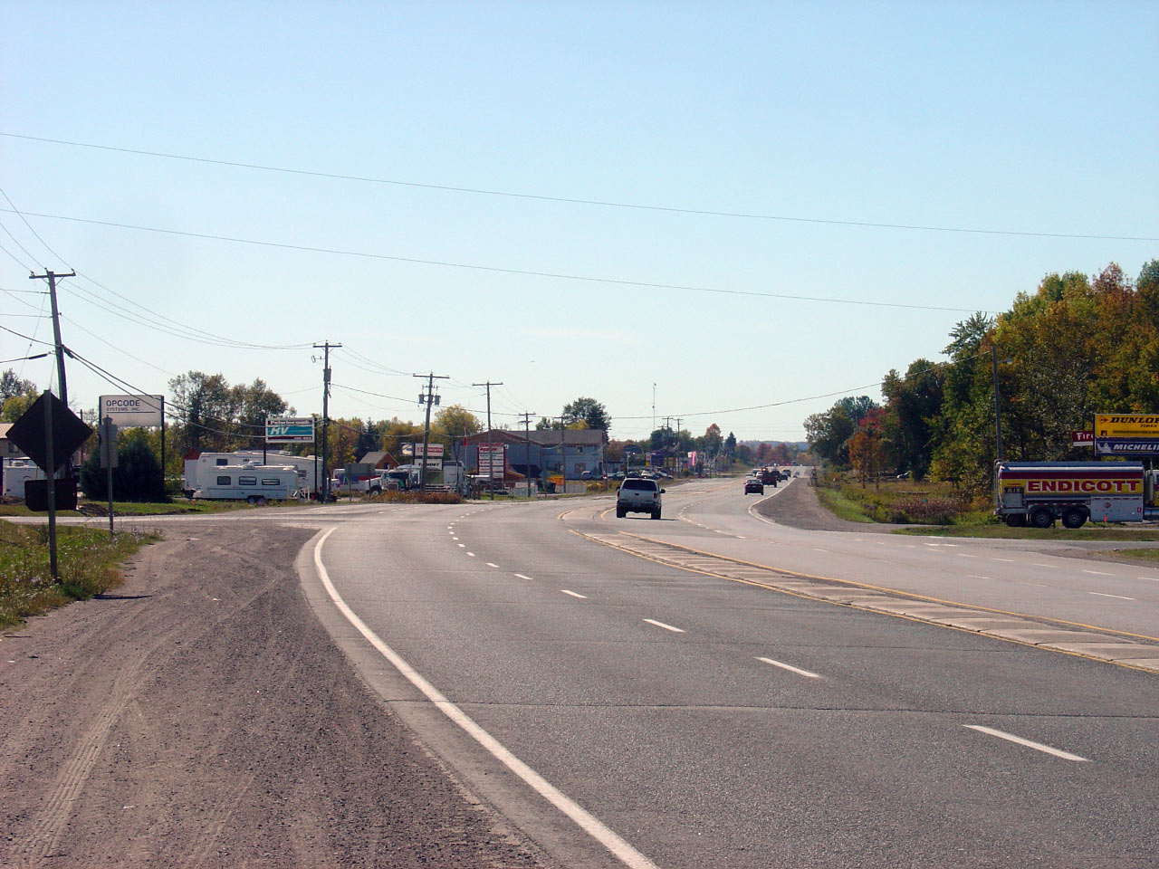
| Township of Otonabee- South
Monaghan County of Peterborough |
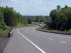
Two views looking westerly approaching the Drummond Line intersection east
of Peterborough. These photos were taken prior to the start of
construction to widen Highway 7 between Peterborough and Highway 28.
Today, Highway 7 is a four lane road with a wide flush median consistently
between Peterborough and the Highway 28 junction.
Photos taken: September 23rd, 2007. |
|
| Township of Otonabee- South
Monaghan County of Peterborough |
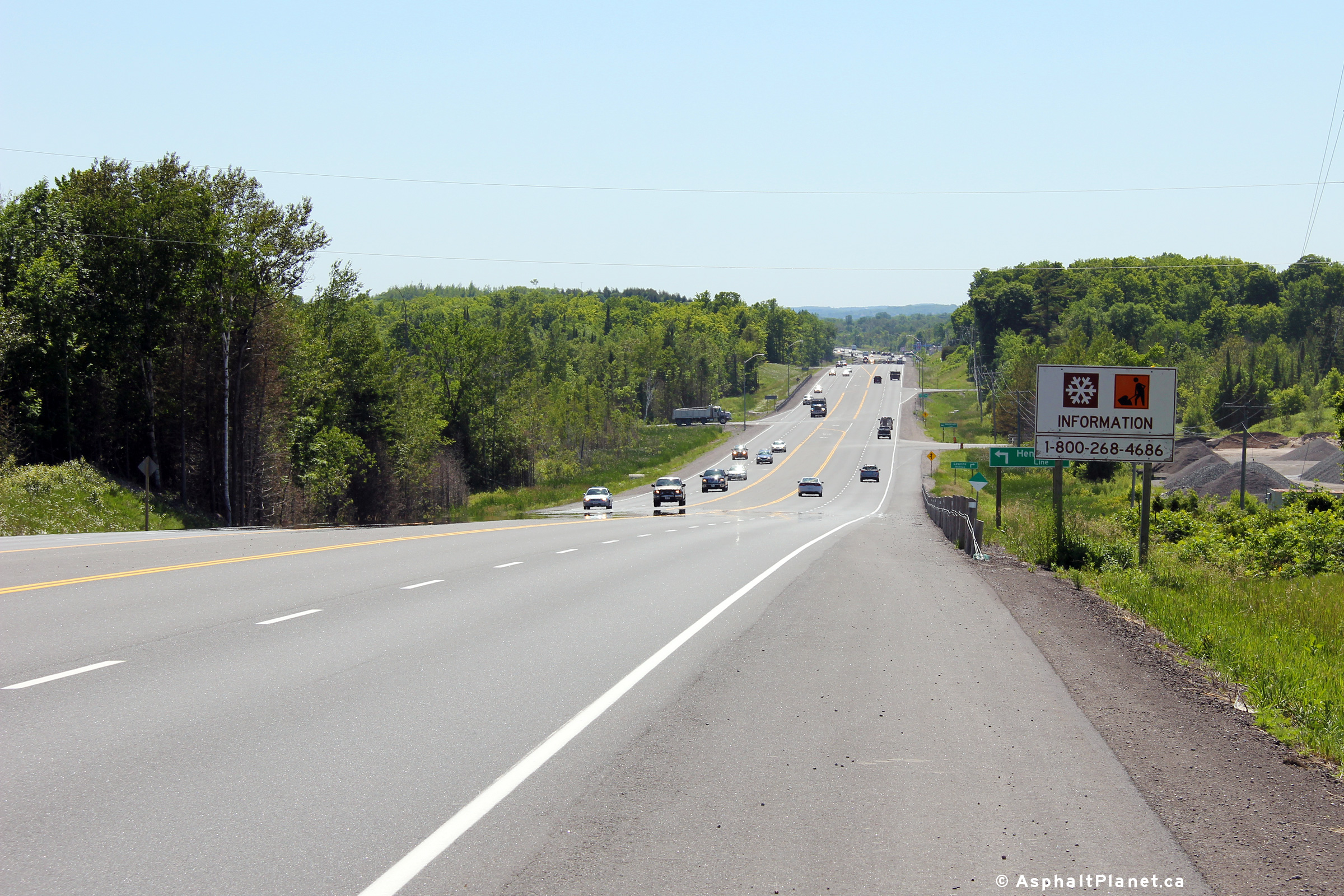
Easterly view approaching the Henderson Line intersection. This
intersection is located approximately 1km west of the Highway 28 junction.
Photo taken: June 14th, 2012. |
(720x480)
(1440x960)
(2400x1600) |
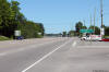
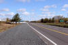
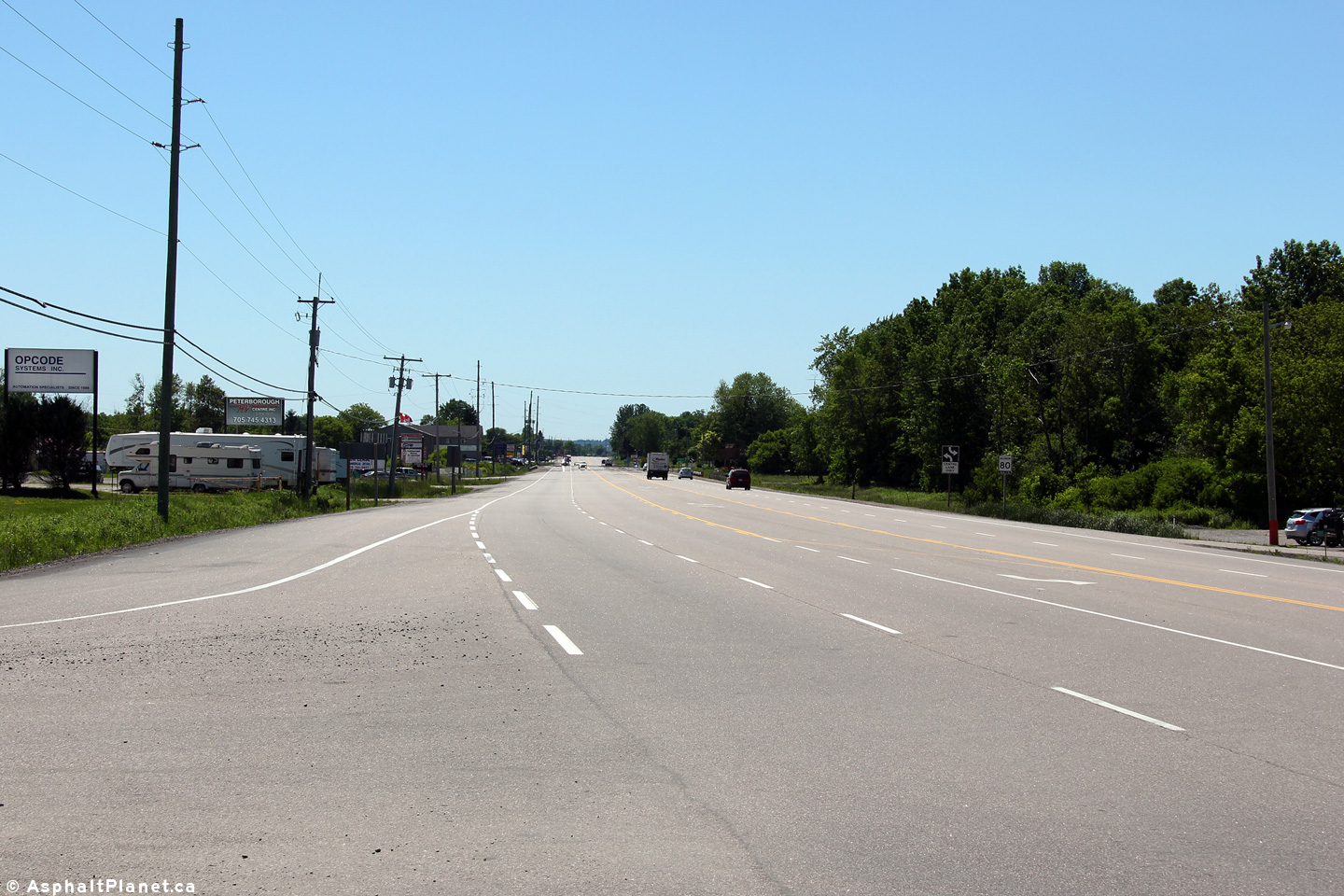
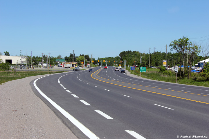
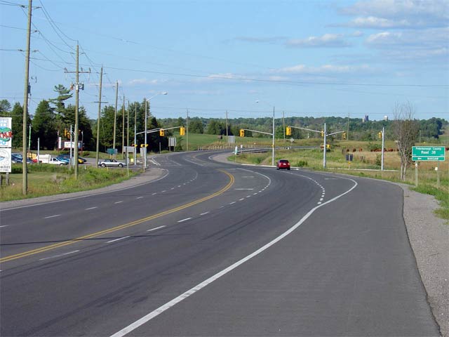
| Township of Otonabee- South
Monaghan County of Peterborough |
Highway 7 looking west from just west of the junction with
Highway 28 (formerly
Highway 134). Highway 7 was reconstructed and widened west of Highway
28 during a multiyear construction project that was completed in 2011.
Upper photo taken: August 6th, 2005.
Lower photo taken: June 14th, 2012. |
(720x480)
(1440x960)
(2400x1600) |
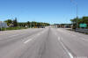
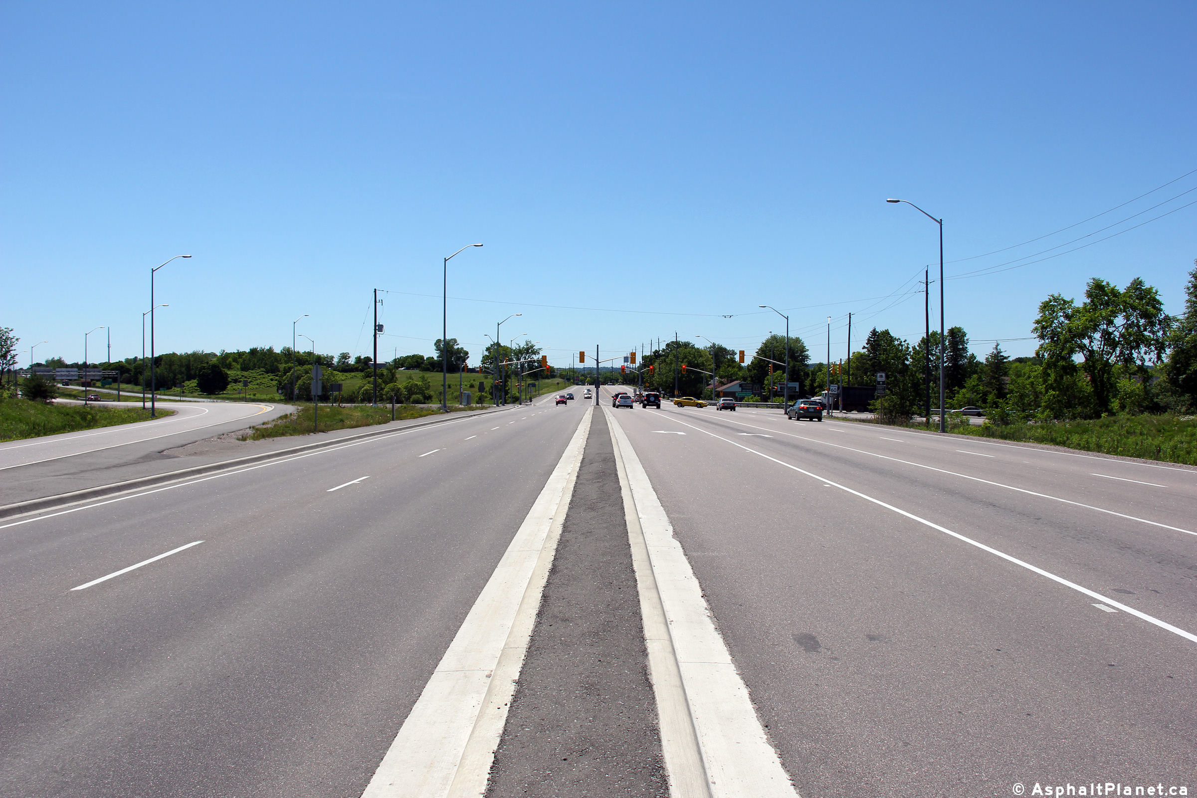
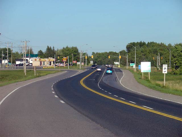
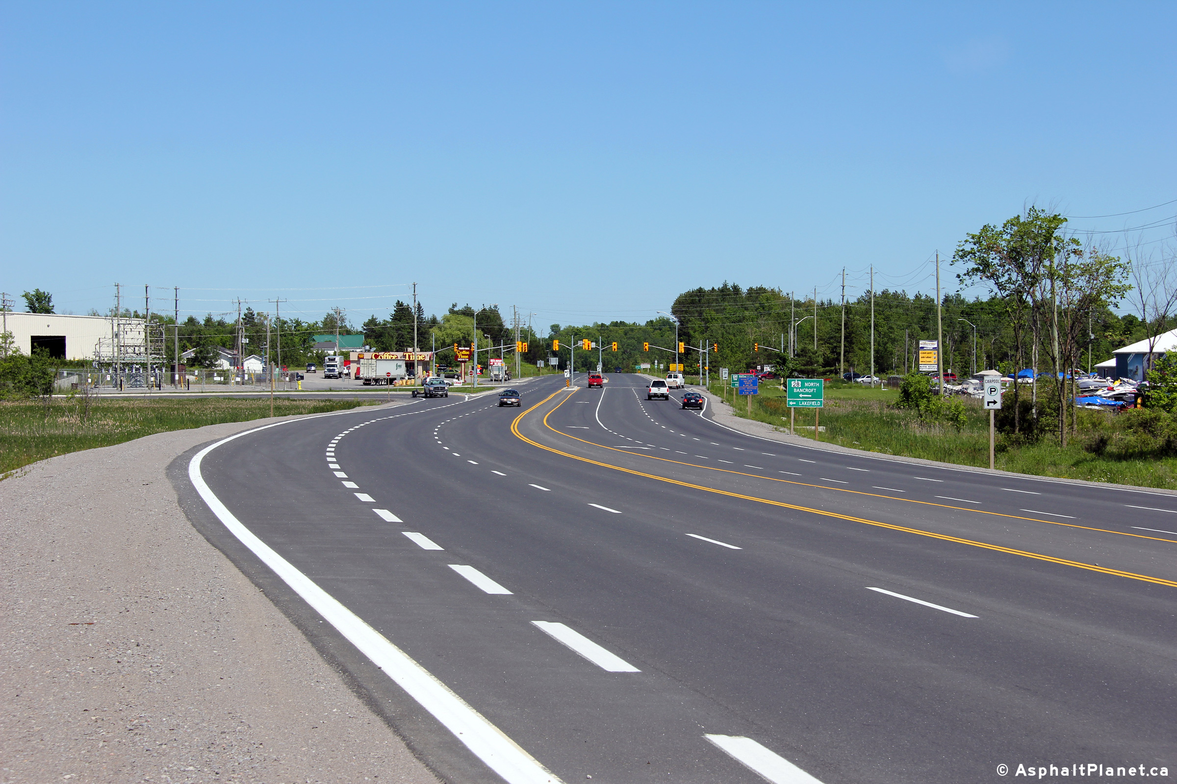
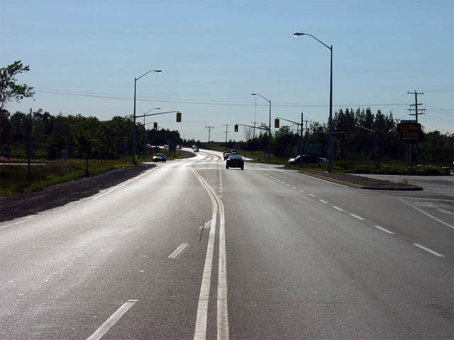
| Township of Otonabee- South
Monaghan County of Peterborough |
Highway 7 looking east towards the Highway 28
(Formerly Highway 134) intersection.
Highway 28 leads traffic northerly from
Highway 7 towards Lakefield and eventually to Bancroft. It is the busiest rural intersection along Highway 7
between Peterborough and Carleton Place.
Upper photo taken: August 6th, 2005.
Lower photo taken: June 14th, 2012. |
(720x480)
(1440x960)
(2400x1600) |
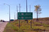
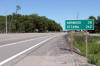
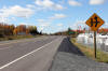
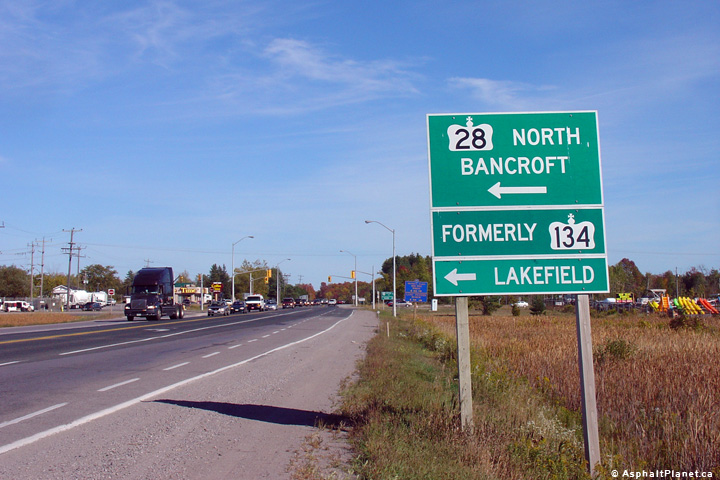
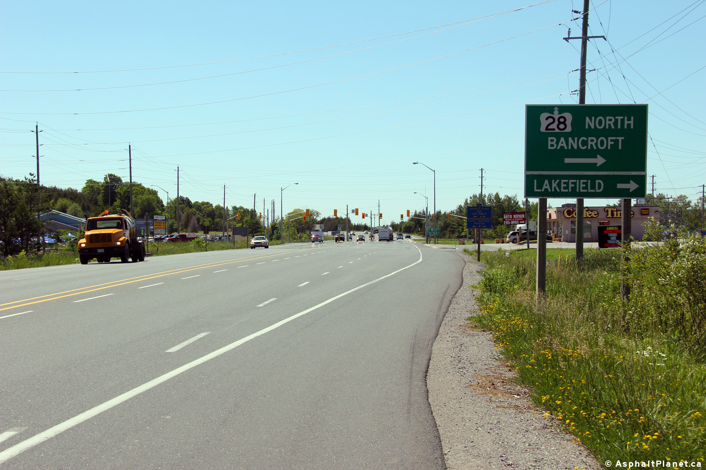
| Township of Otonabee- South
Monaghan County of Peterborough |
Green directional sign for the Highway 28 intersection east of Peterborough.
Before 2003, this stretch of Highway 28 between this junction and Lakefield
was designated as Highway 134, as Highway 28 had previously passed through
Downtown Peterborough. Highway 134 being re-designated as Highway 28
greatly improved the logic of Peterborough County's highways.
Photo taken: September 23rd. 2007. |
 (720x480) (720x480)
(1440x960) |
|
Highway 28 heads north of Highway 7 through
Lakefield to Bancroft and eventually Denbigh at Highway 41.
Click here
for Highway 28 images. |
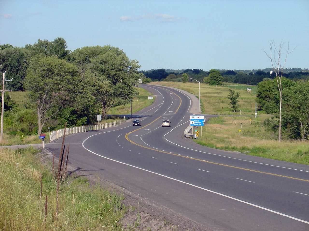
| Township of Otonabee- South
Monaghan County of Peterborough |
Highway 7 looking west towards the junction with Highway 28.
Upper photo taken: August 6th, 2005.
Lower photo taken: June 14th, 2012. |

(720x480)
(1440x960)
(2400x1600) |
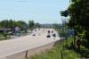
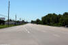
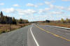
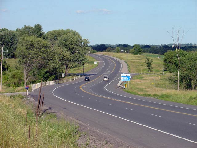
| Township of Otonabee- South
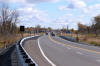
Monaghan County of Peterborough |
View looking easterly along Highway 7 from just east of the Highway 28
intersection. An eastbound passing lane extends for about 2km east of
the Highway 28 intersection.
Photo taken: June 14th, 2012. |
(720x480)
(1440x960)
(2400x1600) |
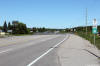
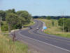
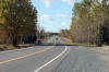
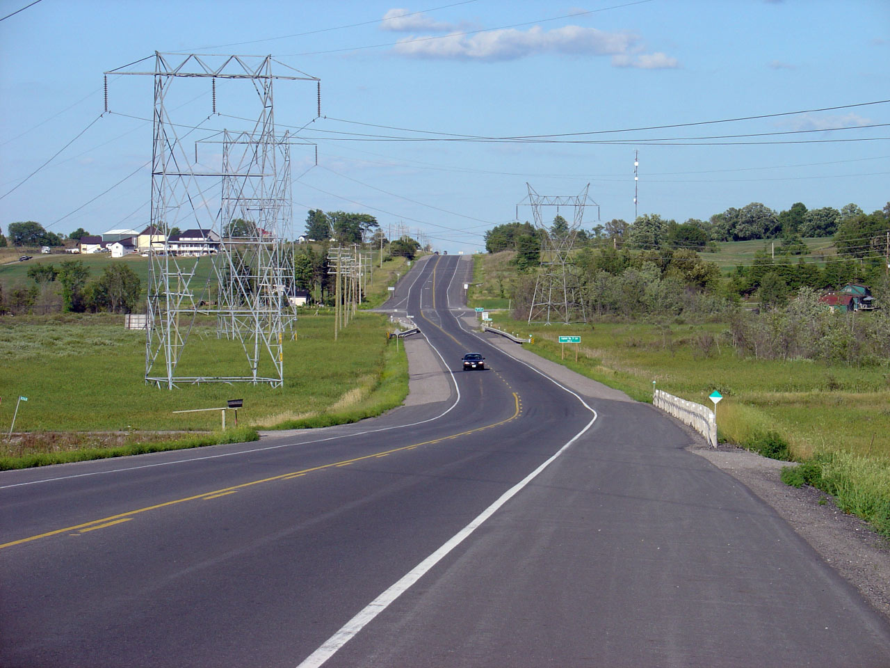
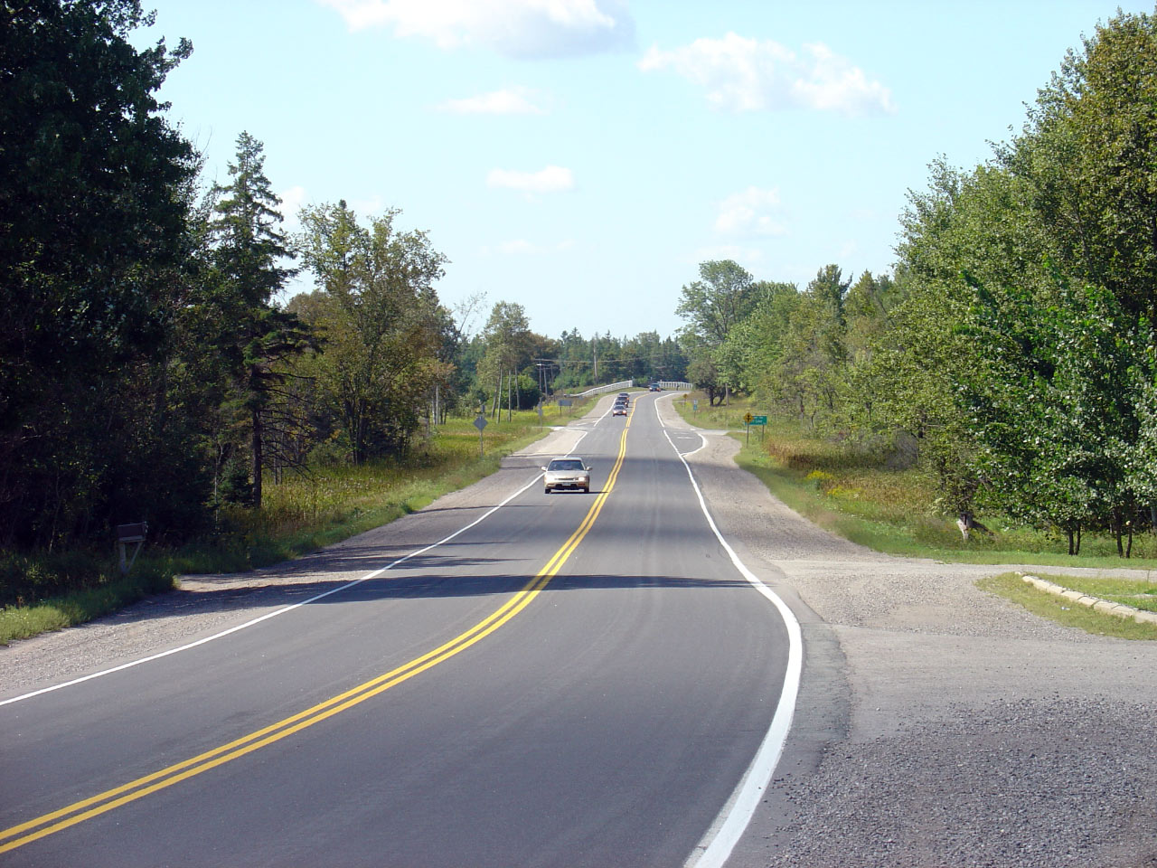
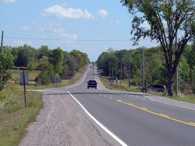
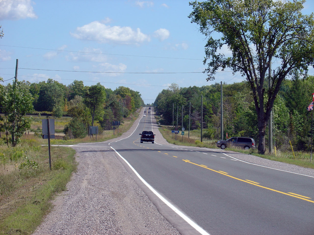
| Township of Otonabee- South
Monaghan County of Peterborough |
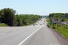
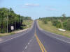
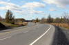
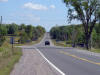
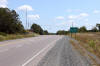
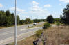
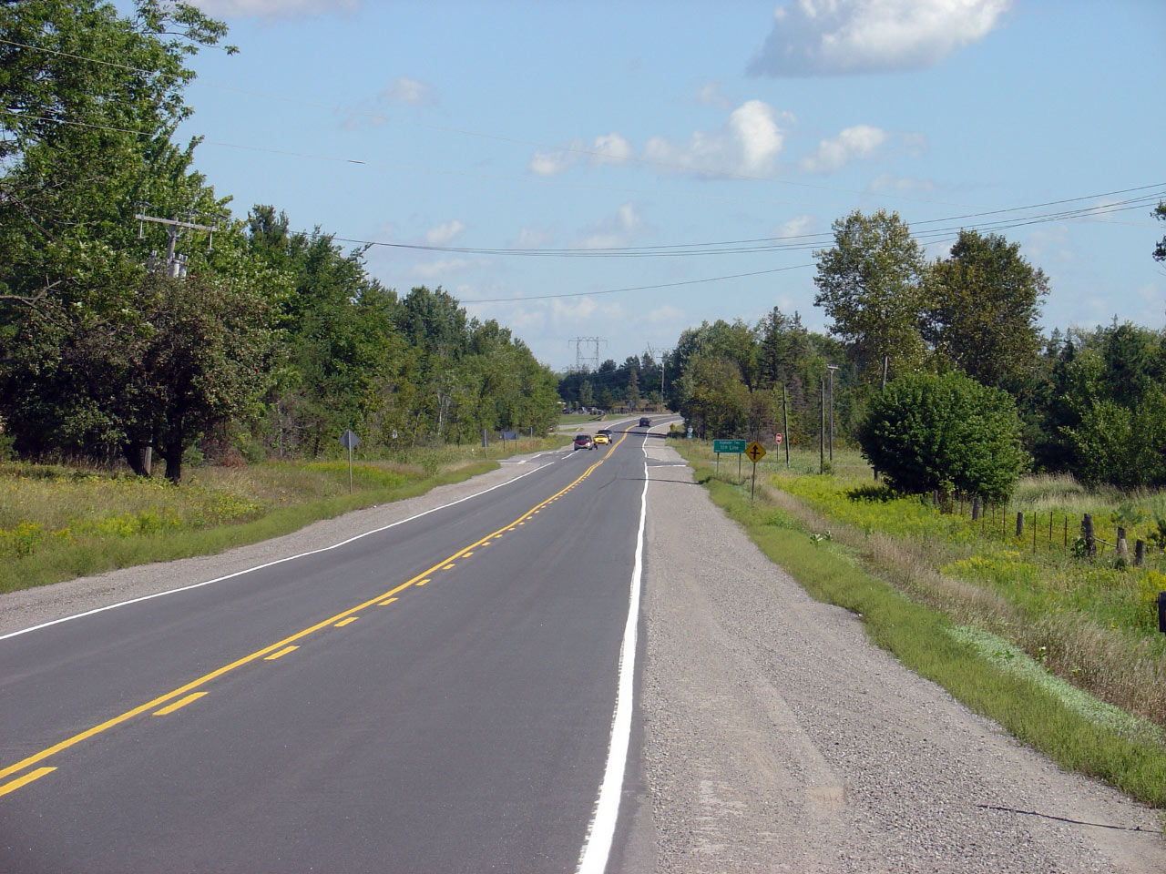
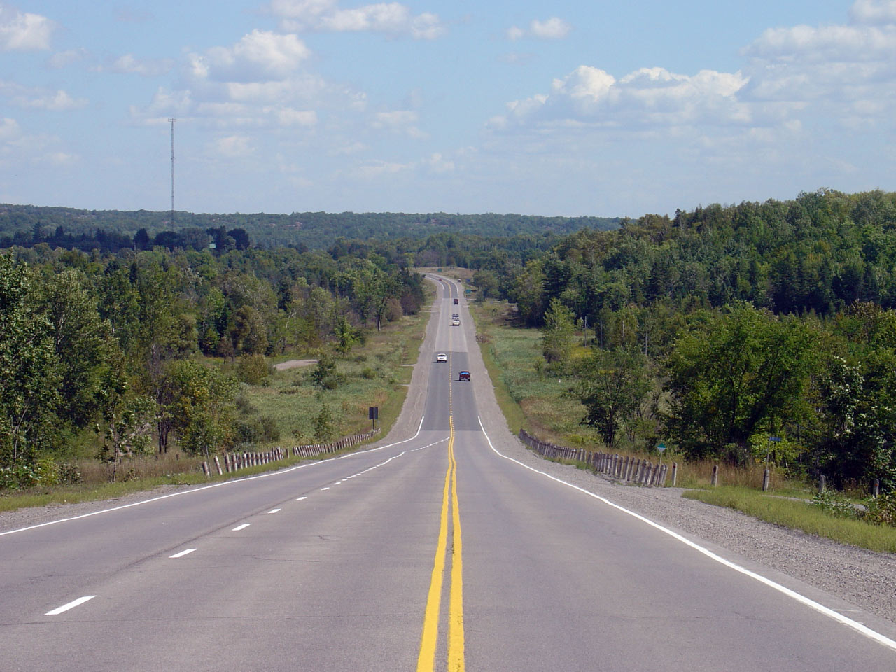
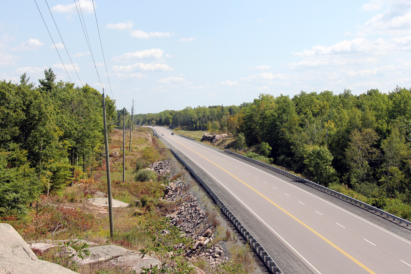
View looking easterly along Highway 7 from Indian River Line. Notice
the extremely wide right of way, particularly noticeable to the south side
of Highway 7. Photo taken: August 6th, 2005. |
(640x480)
(1280x960) |
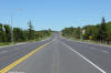
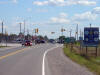
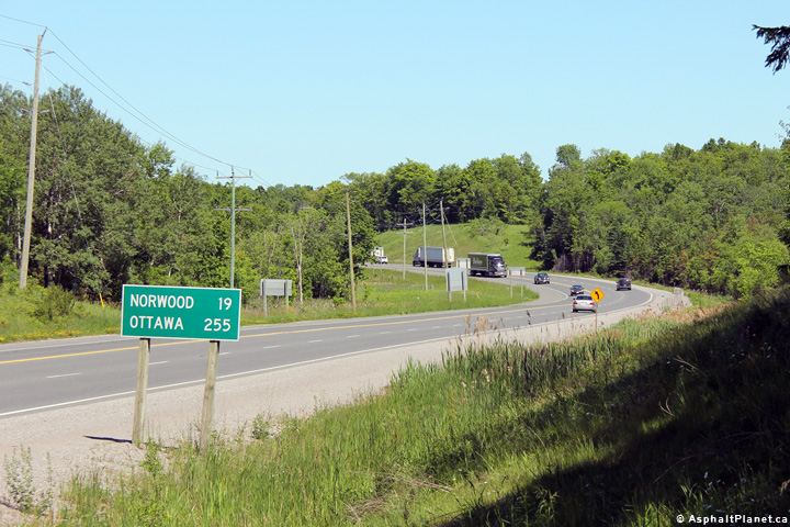
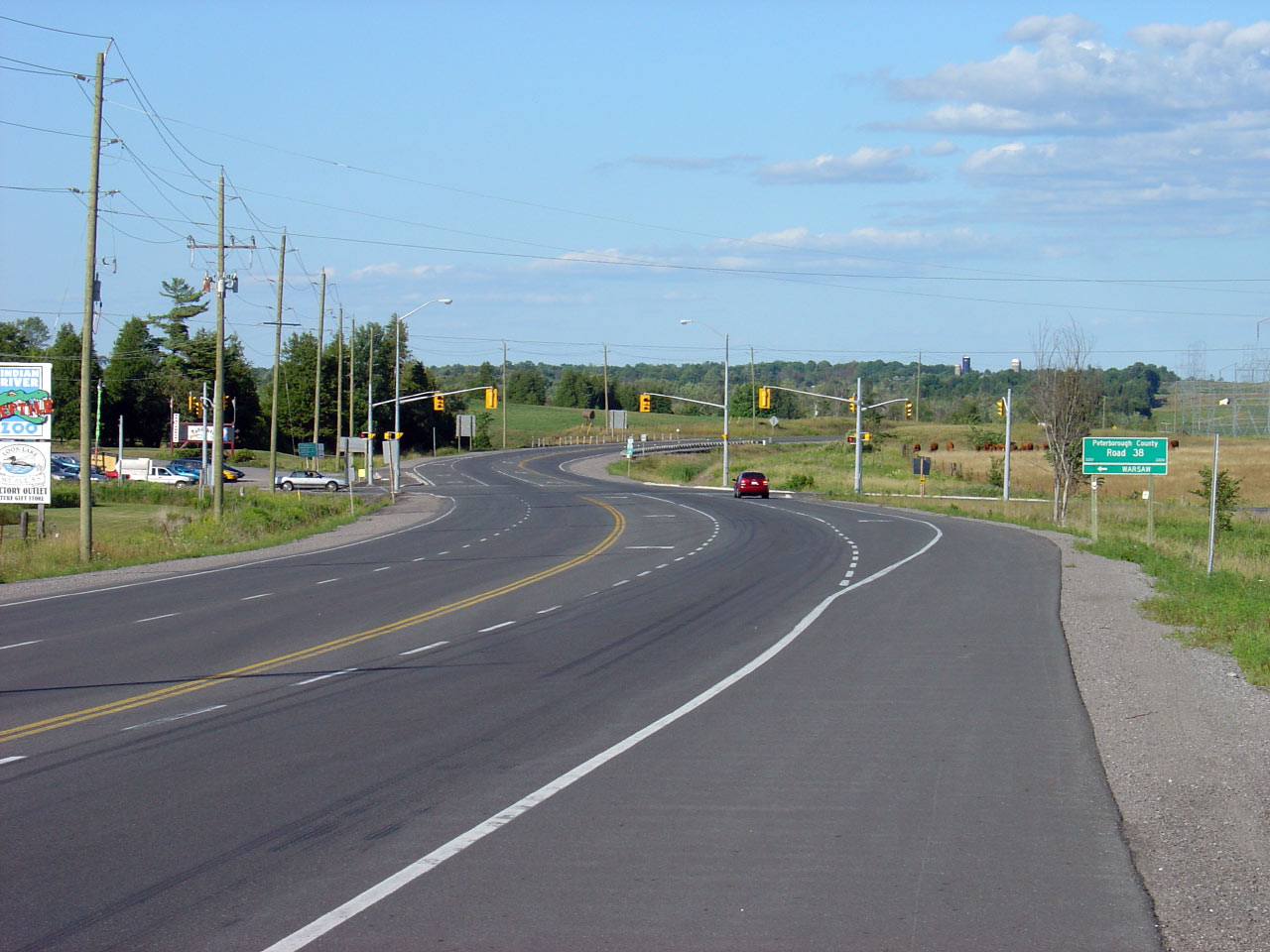
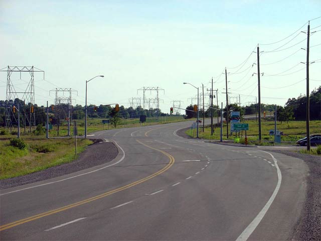
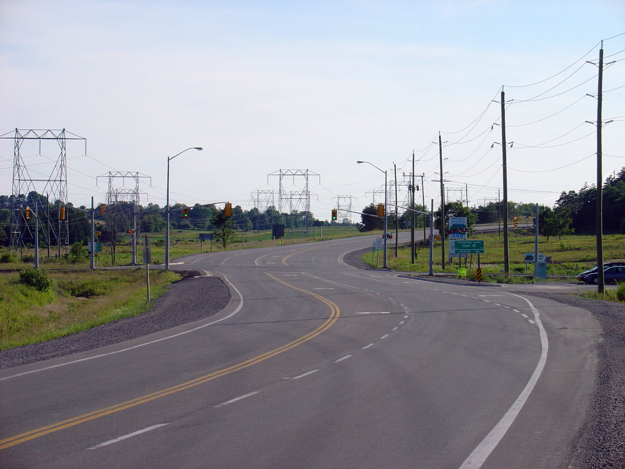
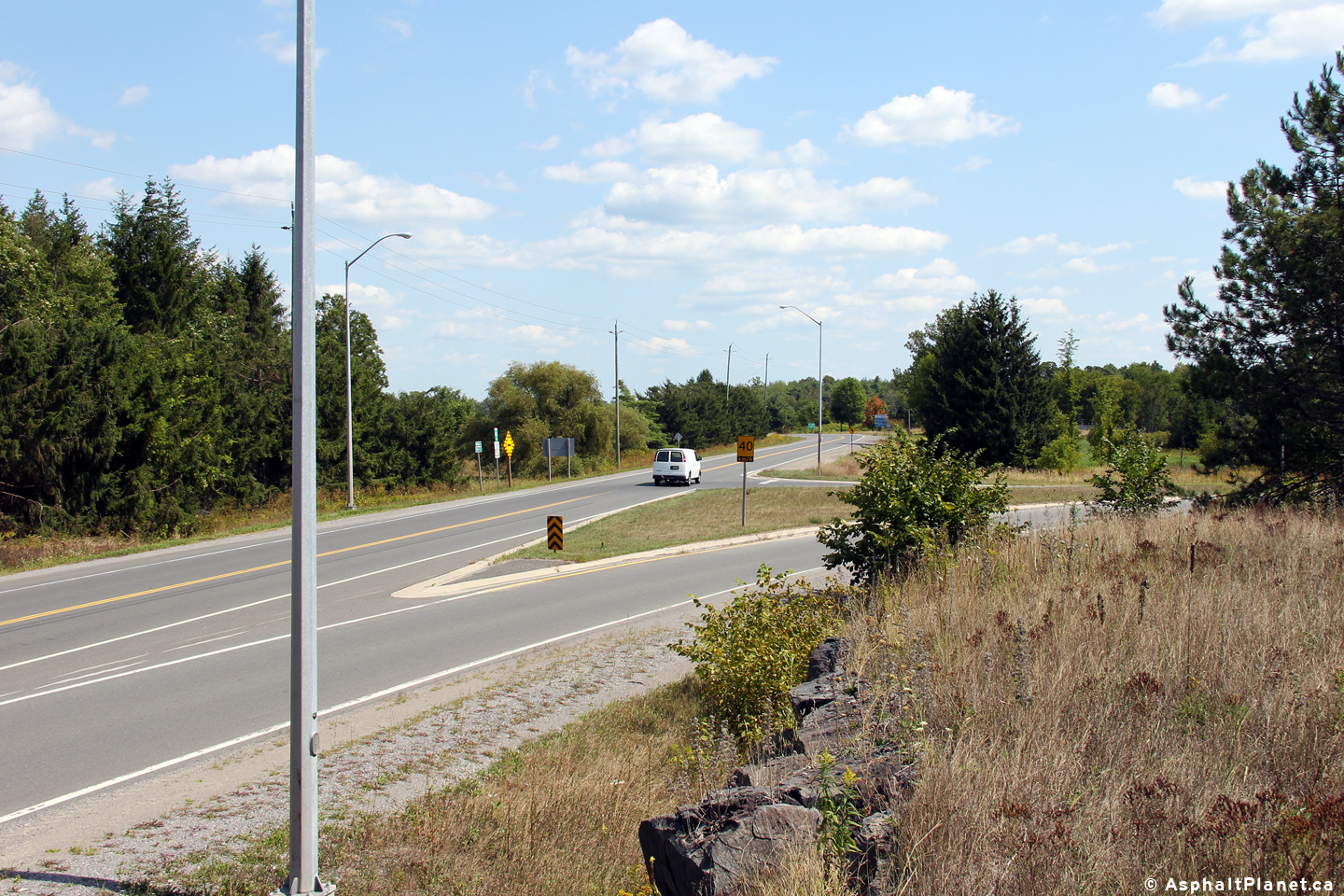
| Township of Asphodel- Norwood
County of Peterborough |
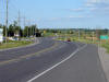
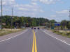
Highway 7 looking east towards the intersection with Peterborough Road 38.
Peterborough Road 38 is the only signalized intersection located along Highway 7
between Highway 28 and Norwood. Photo
taken: August 6th, 2005. |
(640x480)
(1280x960) |
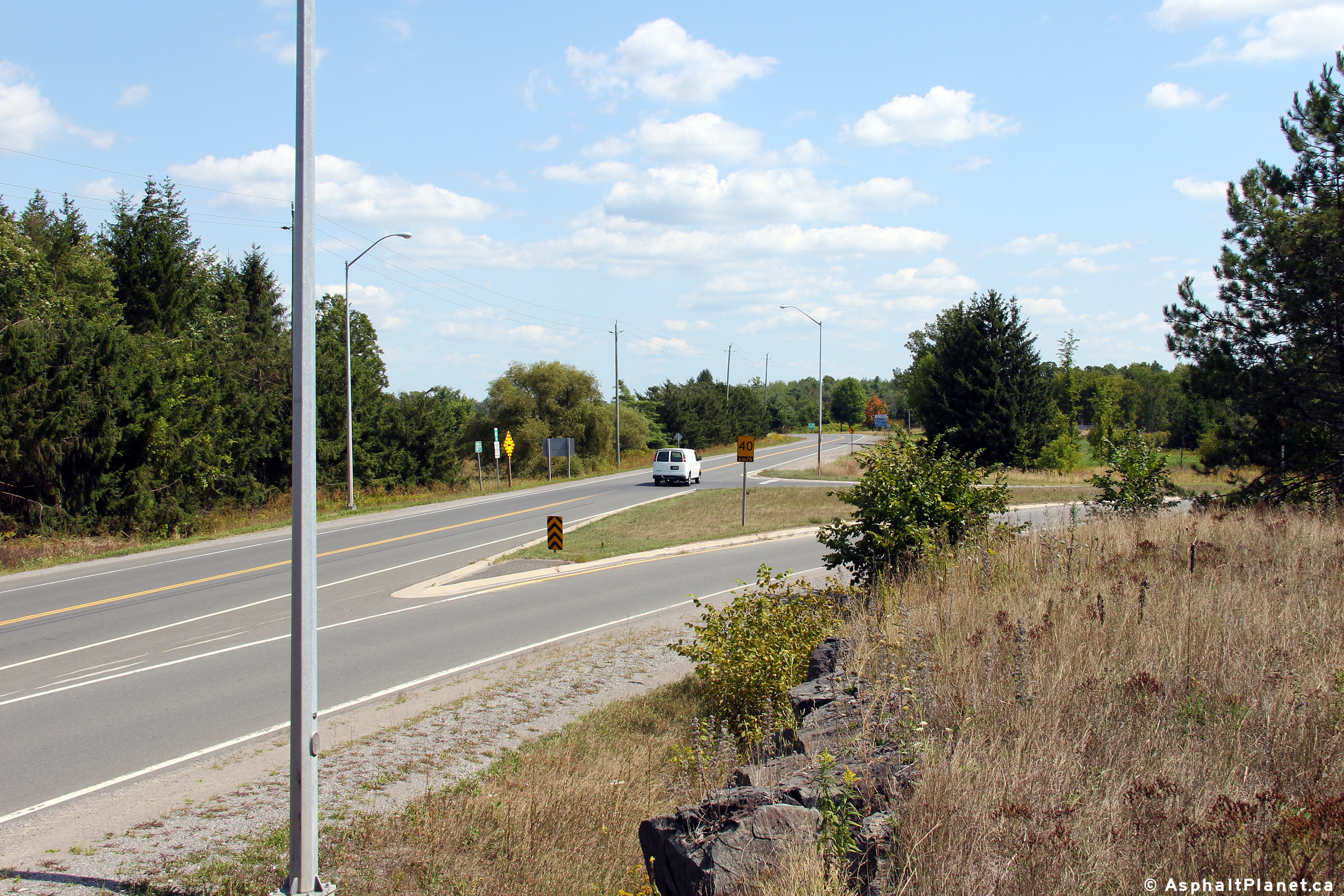
| Township of Asphodel- Norwood
County of Peterborough |
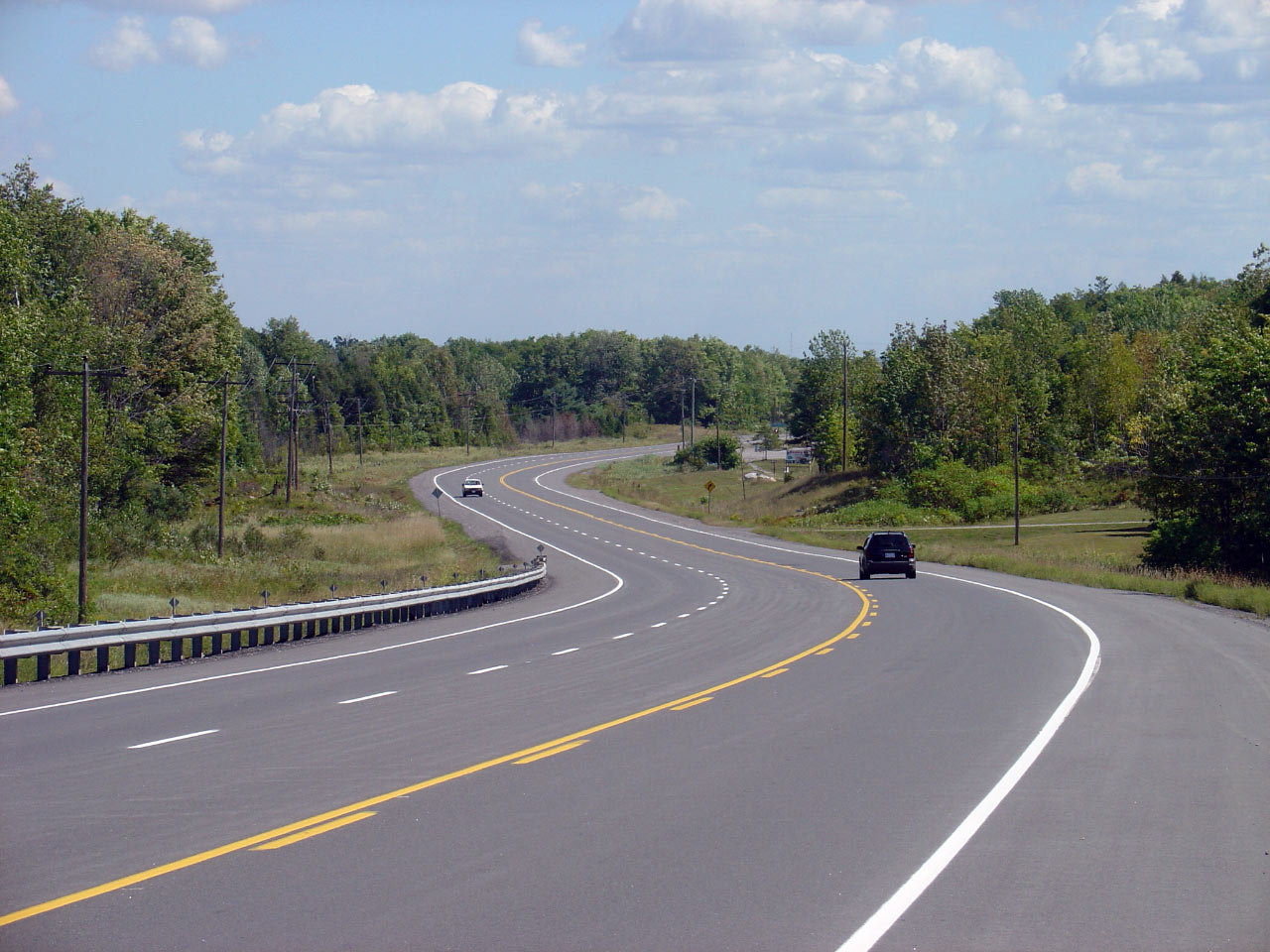
This picture shows Highway 7 looking west towards the Peterborough Road 38
junction. Notice that just west of this intersection, the second of
two westbound passing lanes between Peterborough and Norwood begins.
Photo taken: August 6th, 2005. |
(640x480)
(1280x960) |
| Township of Asphodel- Norwood
County of Peterborough |
Highway 7 looking east from just east of the Peterborough Road 38
intersection. The highway crosses the Ouse River at this point.
Also, notice in the distance, the beginning of the second of two eastbound
passing lanes between Peterborough and Norwood.
Photo taken: August 6th, 2005. |
(640x480)
(1280x960) |
| Township of Asphodel- Norwood
County of Peterborough |
Highway 7 looking east towards the intersection with Asphodel Line 8.
This intersection is located roughly 3km west of the Hamlet of Norwood.
Notice that this photo shows the western beginning of the first westbound
passing lane of two between Norwood and Peterborough.
Photo taken: August 6th, 2005. |
(640x480)
(1280x960) |
| Township of Asphodel- Norwood
County of Peterborough |
This picture is taken roughly 1km west of Norwood, and shows Highway 7 where
it meets with Asphodel's 8th Line. This is the standard intersection
treatment for all minor cross roads between Highway 28 and Norwood.
Turning tapers and wider driving lanes were constructed as part of a major
rehabilitation project that was completed in 2003.
Photo taken: August 6th, 2005. |

(640x480)
(1280x960) |
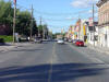
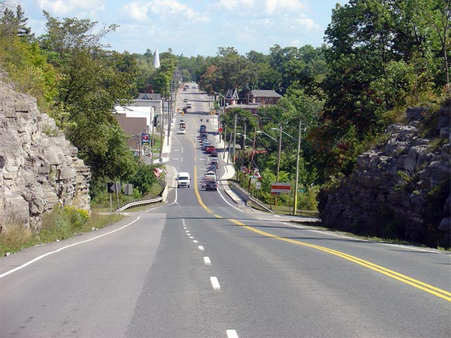
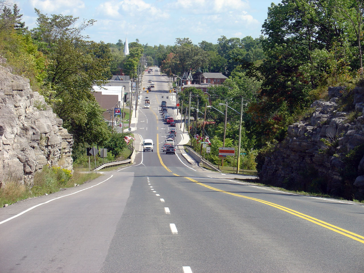
| Township of Asphodel- Norwood
County of Peterborough |
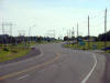
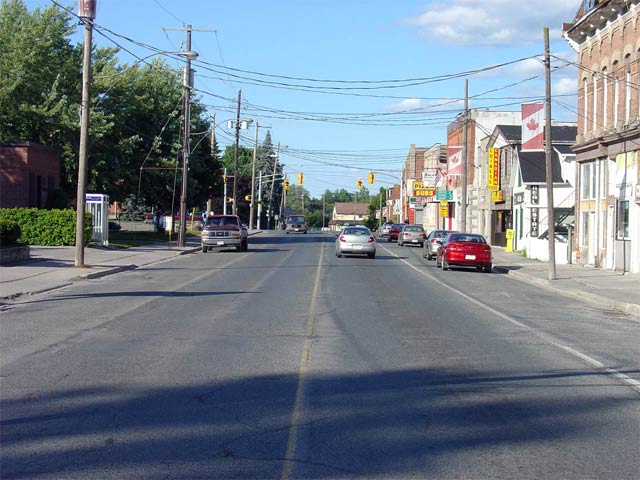
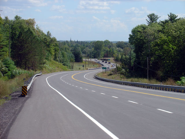
Highway 7 looking east through Norwood towards the junction with
Highway 45. The traffic signal at
Norwood can be the site of considerable delays during the peak travel times
during the summer. Picture taken: August 6th, 2005. |
(640x480)
(1280x960) |
|
Highway 45 leads diagonally
southwest from Norwood through Hastings to Cobourg at Highways 2 and 401.
Click here for Highway 45 images. |
| Township of Asphodel- Norwood
County of Peterborough |
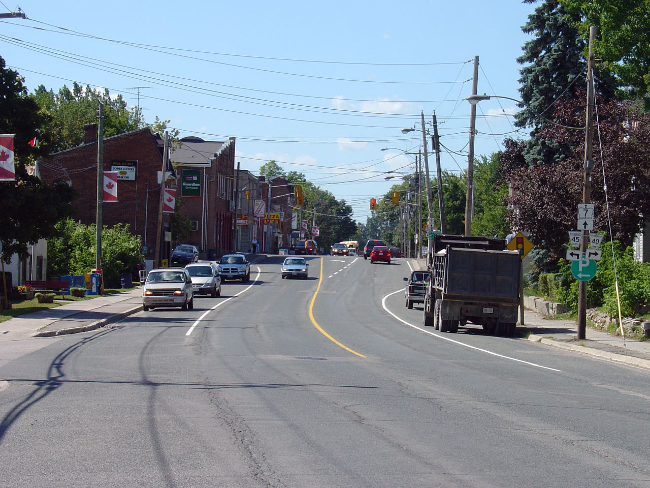
This view looks westerly towards the Highway 45 junction in Norwood.
Norwood is a lengthy community and a noteworthy stop along Highway 7 between
Peterborough and Ottawa. Photo taken: September 2nd, 2005. |
(640x480)
(1280x960) |
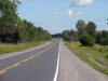
| Township of Asphodel- Norwood
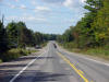
County of Peterborough |
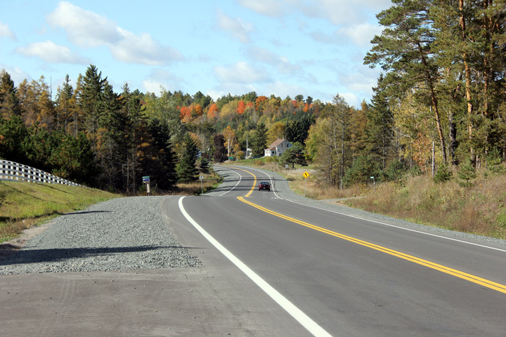
Looking westerly along Highway 7 between Asphodel 10th and 11th Lines.
Photo taken: October 12th, 2012. |

(720x480)
(1440x960)
(2400x1600) |
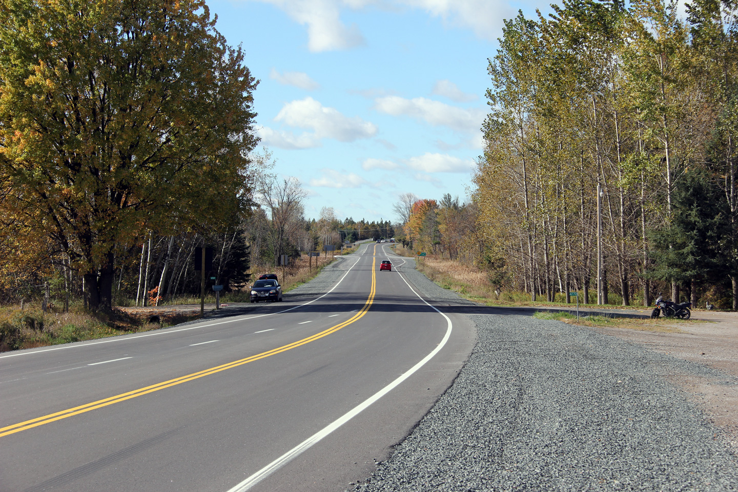
| Township of Asphodel- Norwood
County of Peterborough |
View looking easterly towards the Asphodel 11th Line intersection along
Highway 7. Since this photo was taken, Highway 7 was reconstructed and
resurfaced. Photo taken: September 2nd, 2005. |
(640x480)
(1280x960) |
| Township of Asphodel- Norwood
County of Peterborough |
Opposing view of the Asphodel 11th Line intersection. Click
here for the same view taken in
September, 2005. Photo taken: October 12th, 2012. |
(720x480)
(1440x960)
(2400x1600) |
| Township of Asphodel- Norwood
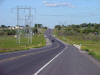
County of Peterborough |
Easterly view from west of the Asphodel 12th Line intersection. In
addition the pictured eastbound passing lane, a left hand turn lane was also
added for the Asphodel 12th Line intersection as part of the 2012
reconstruction. Where possible, MTO tries to limit left turning
conflicts along segments of road with passing lanes.
Photo taken: October 12th, 2012. |

(720x480)
(1440x960)
(2400x1600) |
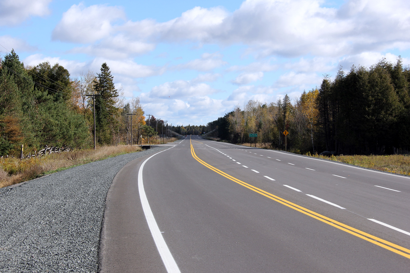
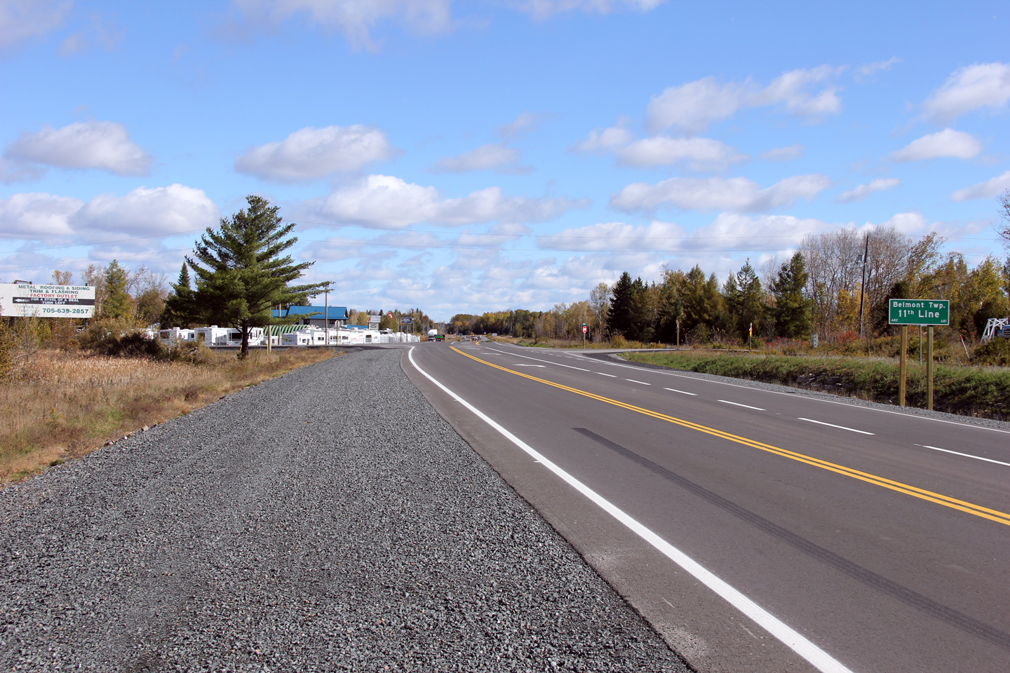
| Township of Asphodel- Norwood
County of Peterborough |
Easterly view at the Belmont 11th Line intersection. Left turning
lanes were added to this intersection during the 2012 reconstruction of
Highway 7.
Photo taken: October 12th, 2012. |
(720x480)
(1440x960)
(2400x1600) |
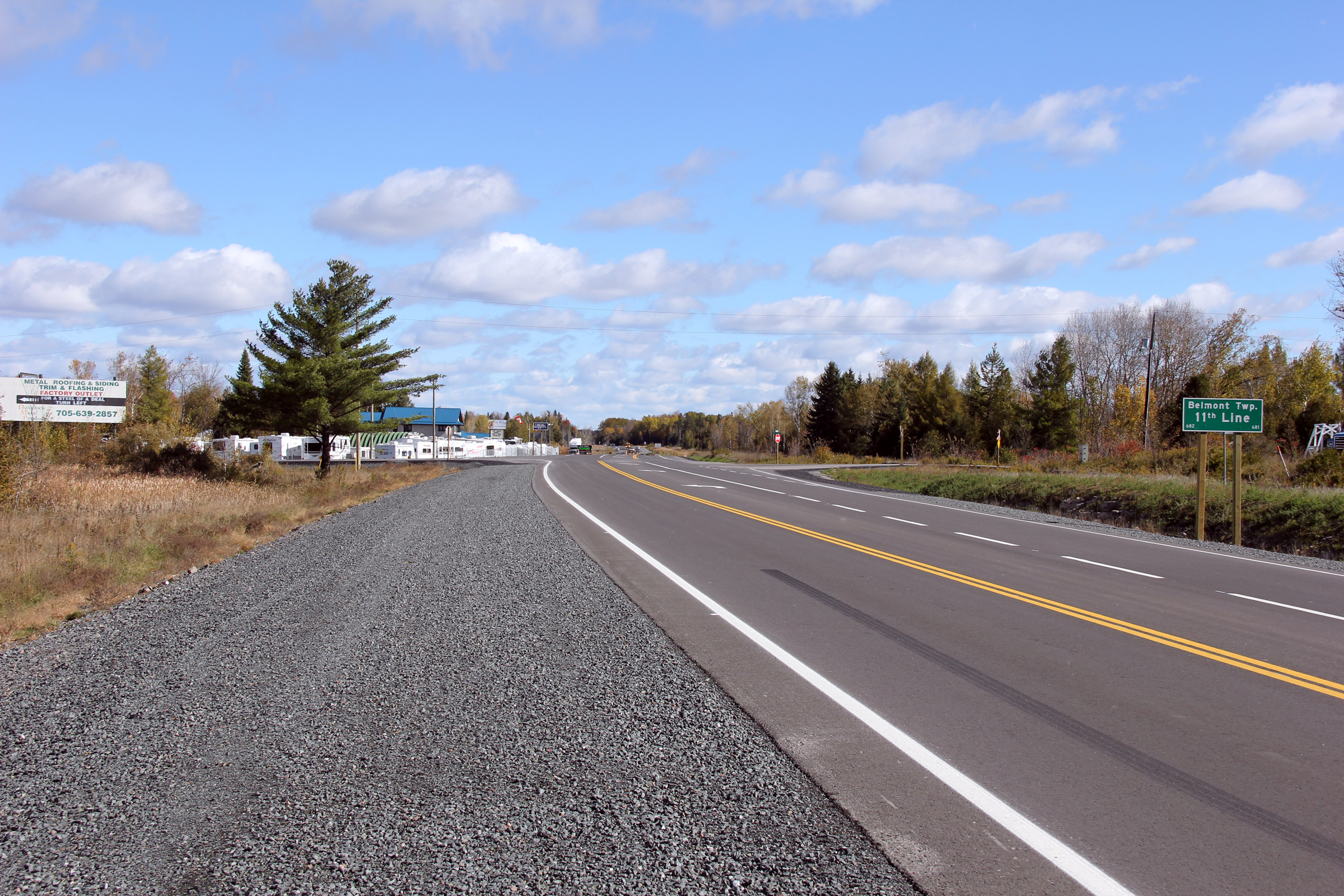
| Township of Havelock- Belmont-
Methuen County of Peterborough |
Westerly view towards the Belmont 11th Line intersection. Note the
unique warning sign that depicts not only the curve and intersection, but the
at-grade railway crossing along 11th Line as well.
Photo taken: October 12th, 2012. |
(720x480)
(1440x960)
(2400x1600) |
| Township of Havelock- Belmont-
Methuen County of Peterborough |
This view looks westerly towards the Belmont 11th Line intersection.
Photo taken: October 12th, 2012. |
(720x480)
(1440x960)
(2400x1600) |
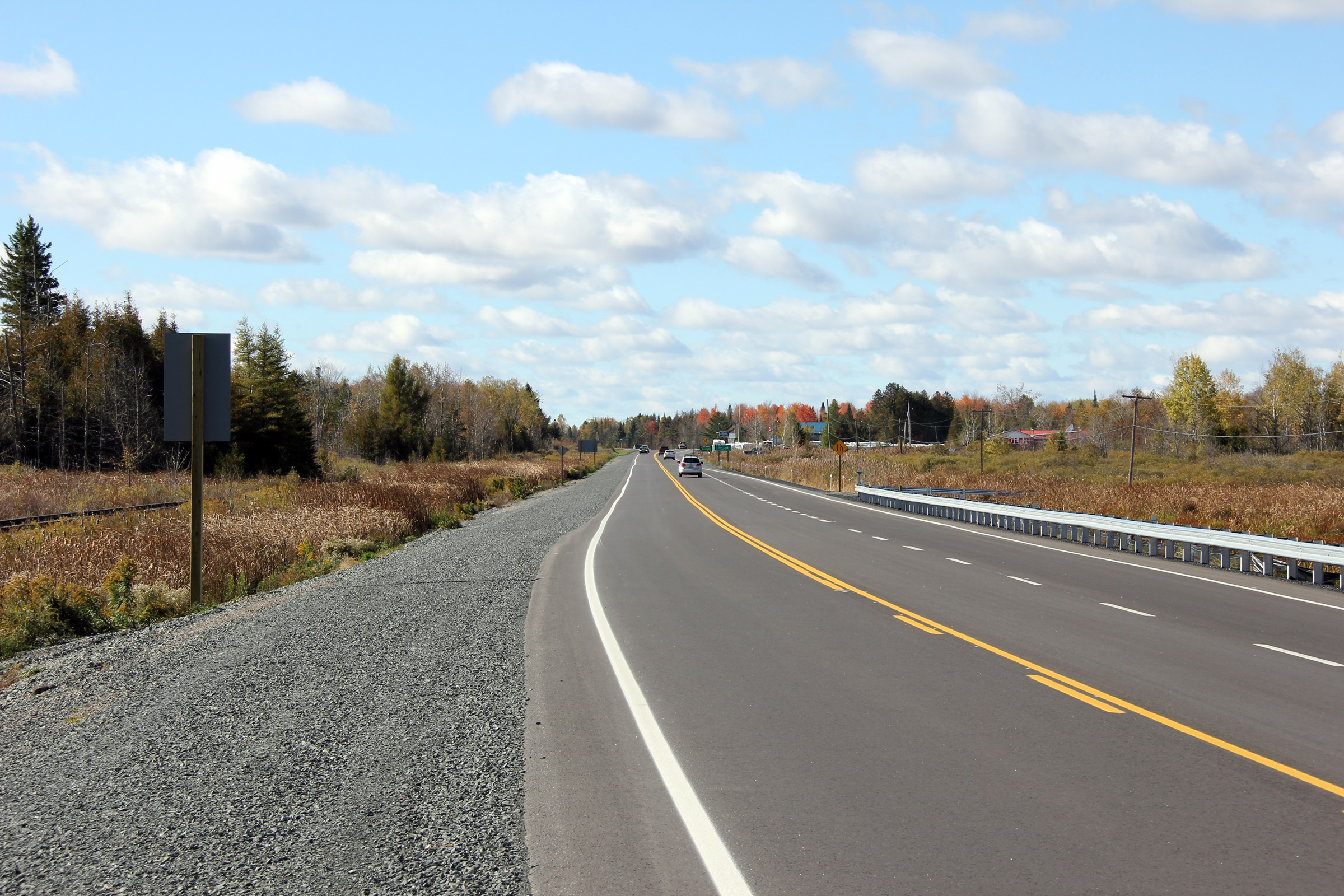
| Township of Havelock- Belmont-
Methuen County of Peterborough |
Easterly view from approximately 750 metres east of the Belmont 11th Line
intersection. The pictured westbound passing lane was added in 2012
during a multiyear reconstruction project.
Photo taken: October 12th, 2012. |

(720x480)
(1440x960)
(2400x1600) |
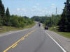
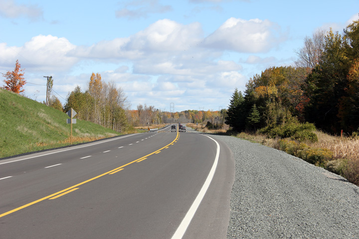
| Township of Havelock- Belmont-
Methuen County of Peterborough |
This view looks westerly from west of Havelock.
Photo taken: October 12th, 2012. |
(720x480)
(1440x960)
(2400x1600) |
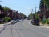
| Township of Havelock- Belmont-
Methuen County of Peterborough |
Easterly view entering the small community of Havelock. At the western
edge of Havelock, Highway 7 crosses the Nephton Subdivision of the CPR.
The Nephton Subdivision serves two large mine sites north of Havelock.
Photo taken: October 12th, 2012. |
(720x480)
(1440x960)
(2400x1600) |
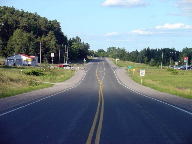
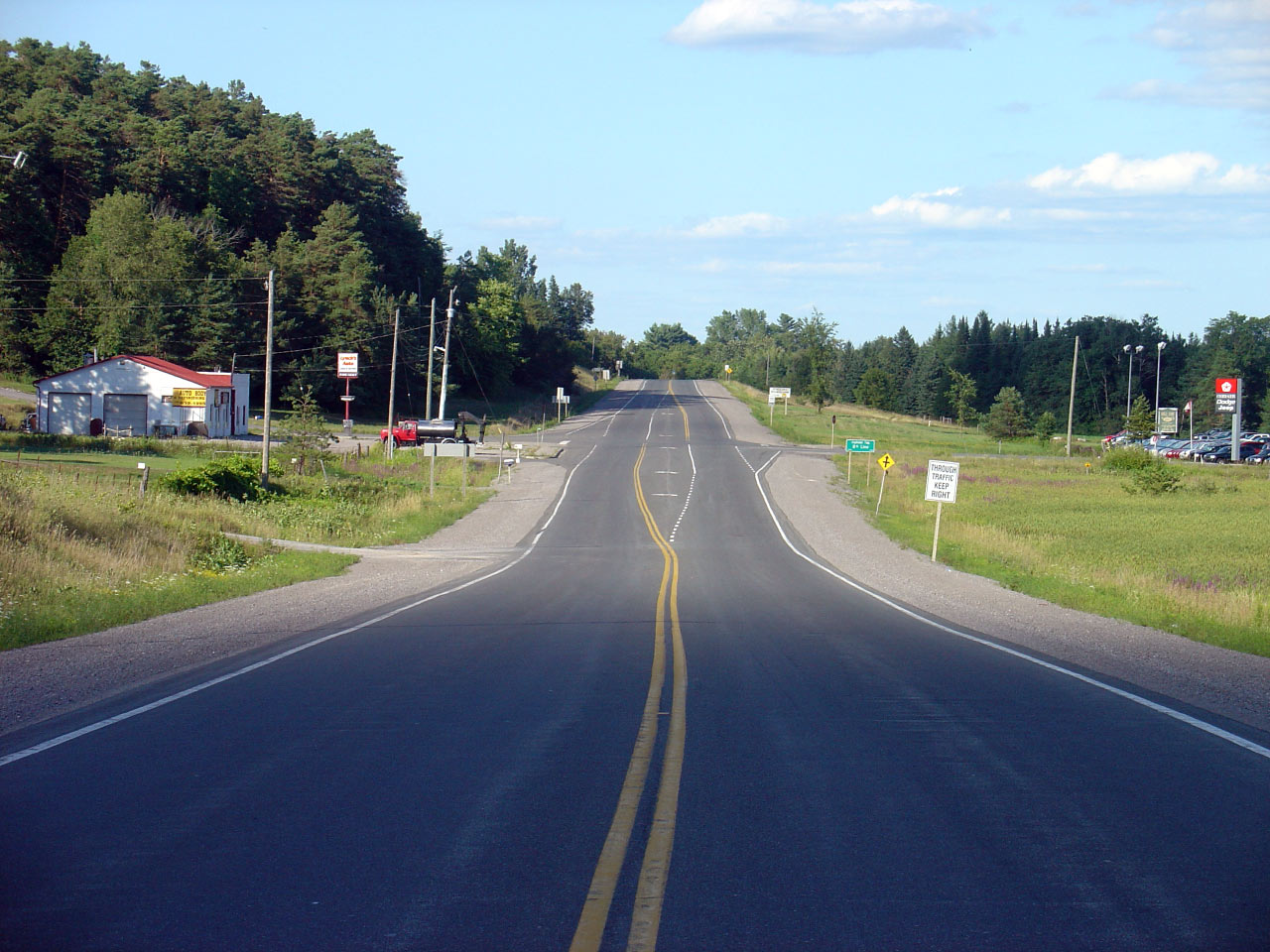
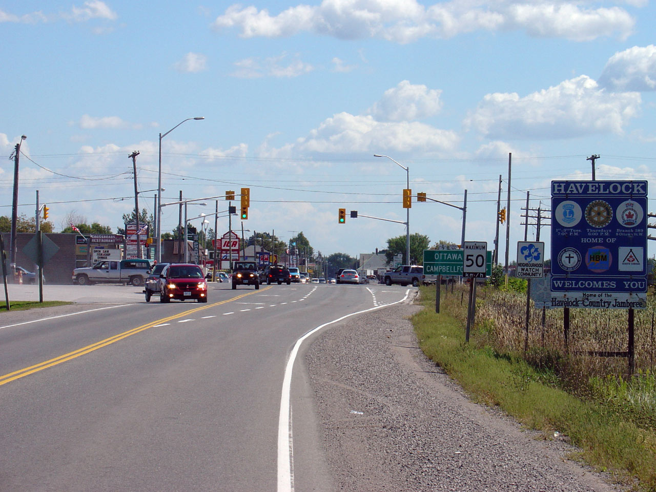
| Township of Havelock- Belmont-
Methuen County of Peterborough |
View looking easterly towards the signalized intersection with Highway 30 in
the western end of Havelock. Unlike through Norwood, Highway 7 is
locally maintained through the small community of Norwood. Mapart's
Eastern Ontario map book marks Highway 7 through Havelock as being
co-designated as Peterborough County Road 57, however this designation does
not appear in the field.
Photo taken: September 2nd, 2005. |
(640x480)
(1280x960) |
|
Highway 30 heads south from
Highway 7 through Campbellford eventually ending in Brighton.
Click
here for Highway 30 images. |
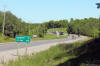
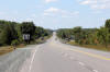
| Township of Havelock- Belmont-
Methuen County of Peterborough |
Looking east along Highway 7 from roughly 1km east of the Peterborough Road
48 junction in Havelock. This is a fairly typical view of Highway 7
between Havelock and Marmora. Photo taken: September 2nd, 2005. |
(640x480)
(1280x960) |
| Township of Havelock- Belmont-
Methuen County of Peterborough |
Looking east towards the First Road intersection. First Road marks the
boundary between Peterborough and Hastings Counties. Photo taken:
September 2nd, 2005. |
(640x480)
(1280x960) |
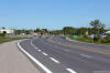
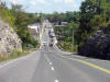
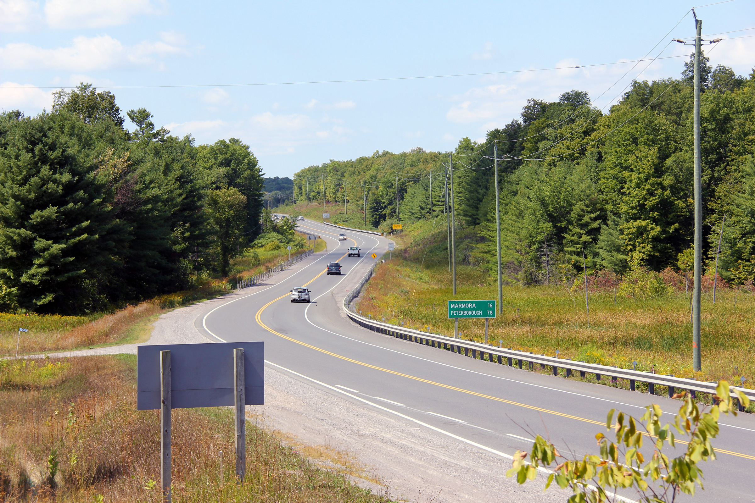
| Municipality of Marmora and Lake
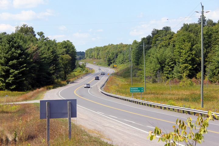
County of Hastings |
Looking west towards Peterborough from roughly 1km west of the Crow River
bridge in Marmora. Highway 7 is fairly unexciting between Peterborough and
Marmora. This stretch has only one short westbound passing lane leaving Marmora,
and no eastbound passing lanes.
Photo taken: September 2nd, 2005. |
(640x480)
(1280x960) |
| Municipality of Marmora and Lake
County of Hastings |
Looking east along Highway 7 towards Downtown Marmora. East of the Crow
River Bridge, Highway 7 is locally maintained for the next 1.3km. This
picture also showcases the lone westbound passing lane between Marmora and
Havelock.
Photo taken: September 2nd, 2005. |
(640x480)
(1280x960) |
| Municipality of Marmora and Lake
County of Hastings |
Looking easterly along Highway 7 from just east of Marmora. There are
a few large hills like this between Marmora and Madoc along Highway 7.
This picture shows the second of two westbound passing lanes located along
Highway 7 between Marmora and Madoc.
Photo taken: September 2nd, 2005. |

(640x480)
(1280x960) |
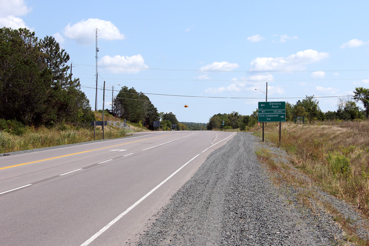
| Municipality of Marmora and Lake
County of Hastings |
Westerly view towards Marmora from just west of Deloro Road.
Photo taken: August 23rd, 2012. |
(720x480)
(1440x960)
(2400x1600) |
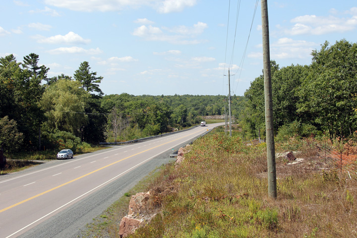
| Municipality of Marmora and Lake
County of Hastings |
Easterly view approaching the Deloro Road intersection. Deloro is the
former home to a large, abandoned mining and refinement facility. Gold, stellite, arsenic, silver and cobalt were all
mined and/or refined at the Deloro site until its closure in 1961. In
modern times, the Deloro site is most known for historical environmental
contamination due to toxic refinement processes of the above noted minerals.
Photo taken: August 23rd, 2012. |
(720x480)
(1440x960)
(2400x1600) |
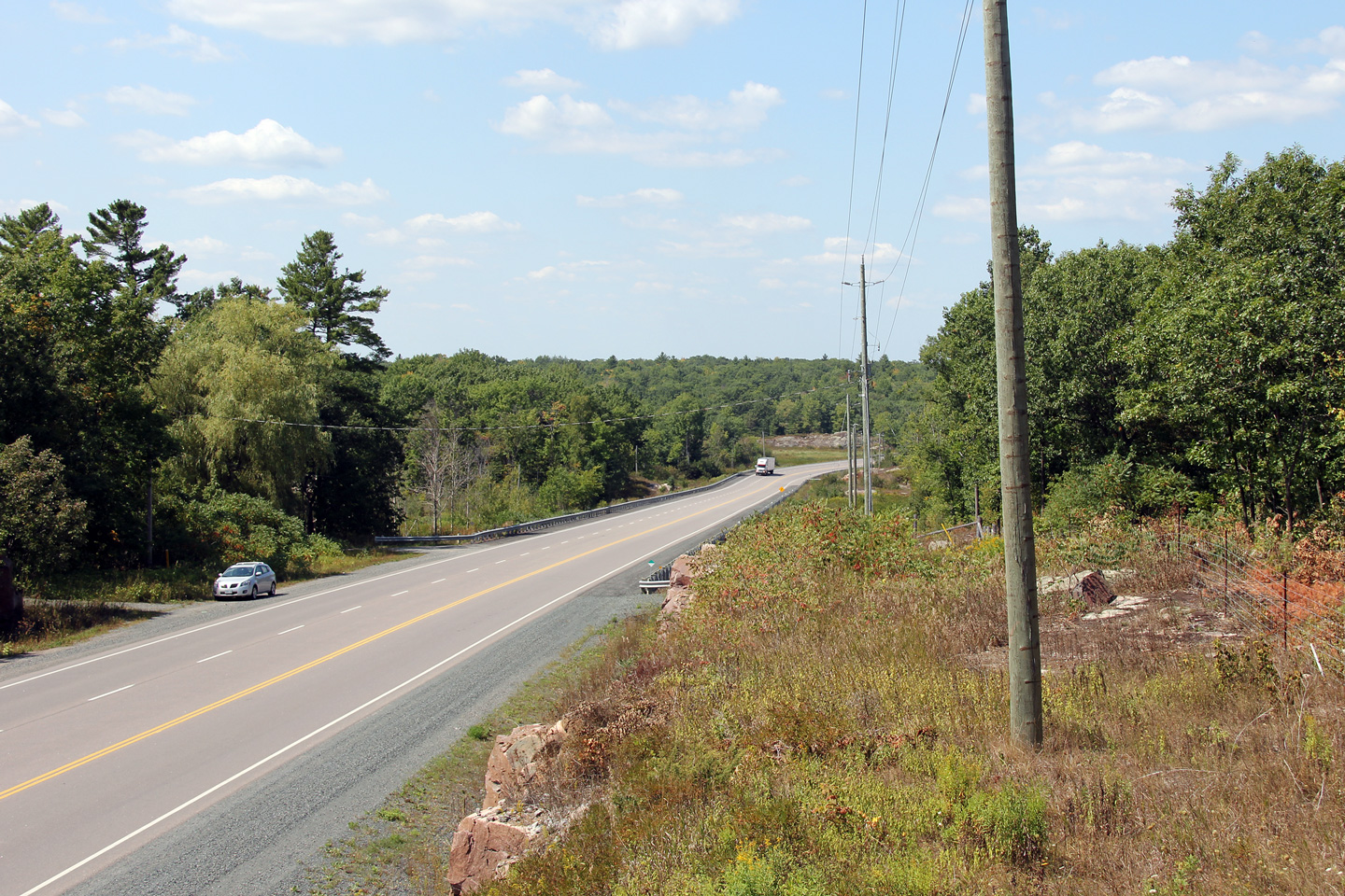
| Municipality of Marmora and Lake
County of Hastings |
View looking westerly towards Marmora from about halfway between Marmora and
Madoc.
Photo taken: August 23rd, 2012. |

(720x480)
(1440x960)
(2400x1600) |
| Municipality of Marmora and Lake
County of Hastings |
Opposite view towards Madoc from the same vantage point as the previous
point.
Photo taken: August 23rd, 2012. |
(720x480)
(1440x960)
(2400x1600) |
| Township of Madoc County of
Hastings |
Photo of an eastbound reversing curve about 2km west of the St. Lawrence
Street junction. Photo taken: September 2nd, 2005. |
(640x480)
(1280x960) |
| Township of Madoc County of
Hastings |
Another reversing curve, this with the
western St. Lawrence Street intersection in view in the distance. The
same westbound passing lane is shown in this photo as in the previous photo.
Photo taken: September 2nd, 2005. |
(640x480)
(1280x960) |
| Township of Madoc County of
Hastings |
View looking westerly towards Marmora from the western St. Lawrence Street
intersection west of Madoc.
Photo taken: August 23rd, 2012. |

(720x480)
(1440x960)
(2400x1600) |
| Township of Madoc County of
Hastings |
View looking easterly towards the western St. Lawrence Street intersection.
Before the Madoc By-pass was constructed, Highway 7 fallowed St. Lawrence
Street through Downtown Madoc.
Photo taken: August 23rd, 2012. |
(720x480)
(1440x960)
(2400x1600) |
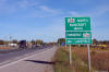
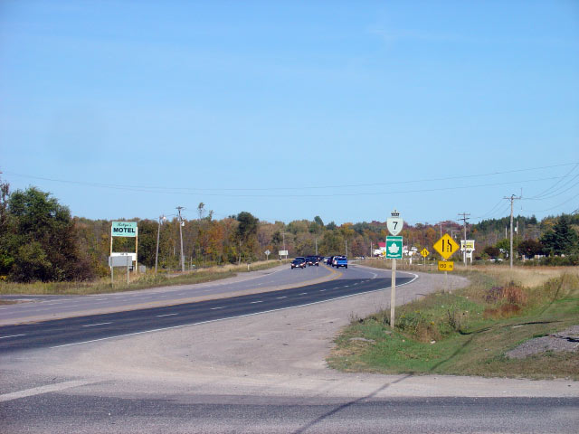
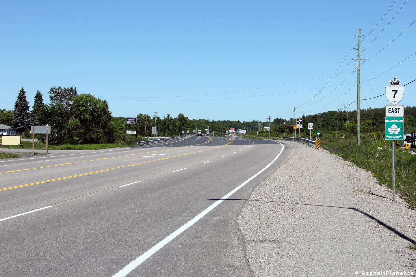
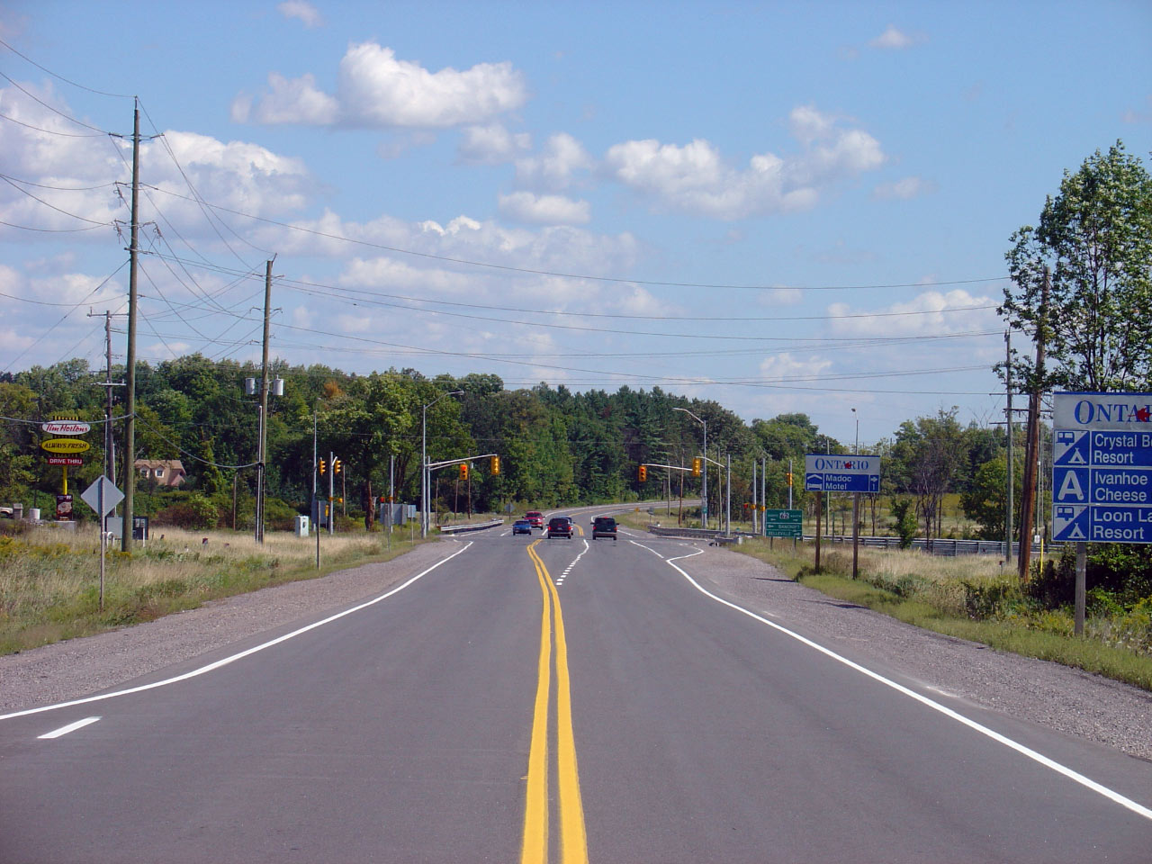
| Township of Madoc County of
Hastings |
Looking east along the Madoc By-pass towards the
Highway 62 intersection.
Highway 62 is found about 70km east of the Peterborough
City Limits. Photo taken: September 2nd, 2005. |
(640x480)
(1280x960) |
|
Highway 62 is one of Eastern
Ontario's longest and most notable highways -- stretching from Bloomfield
northeasterly to Pembroke.
Click
here for Highway 62 images. |

 (720x480)
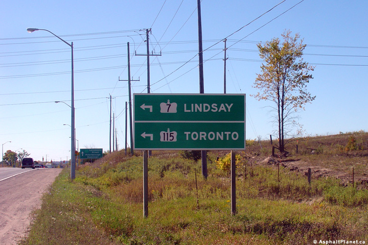 (720x480)
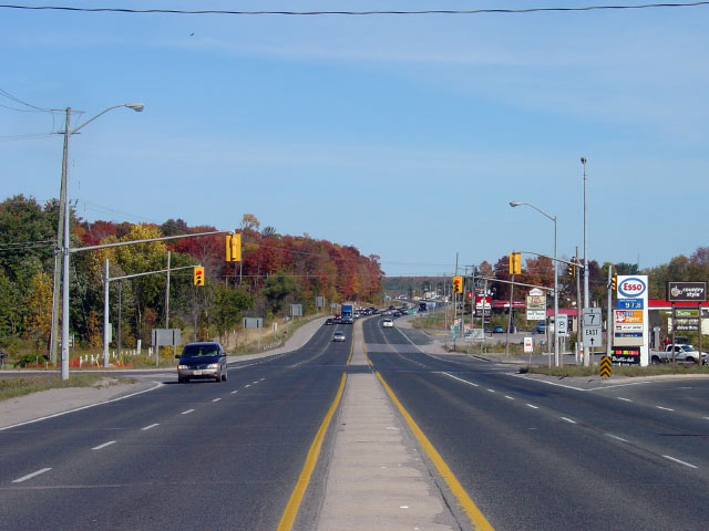


 (720x480)
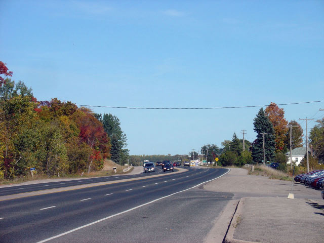


 (720x480)


